Trails near Manlleu
48 hikes starting within 15 km, nearest first.
Nearest first
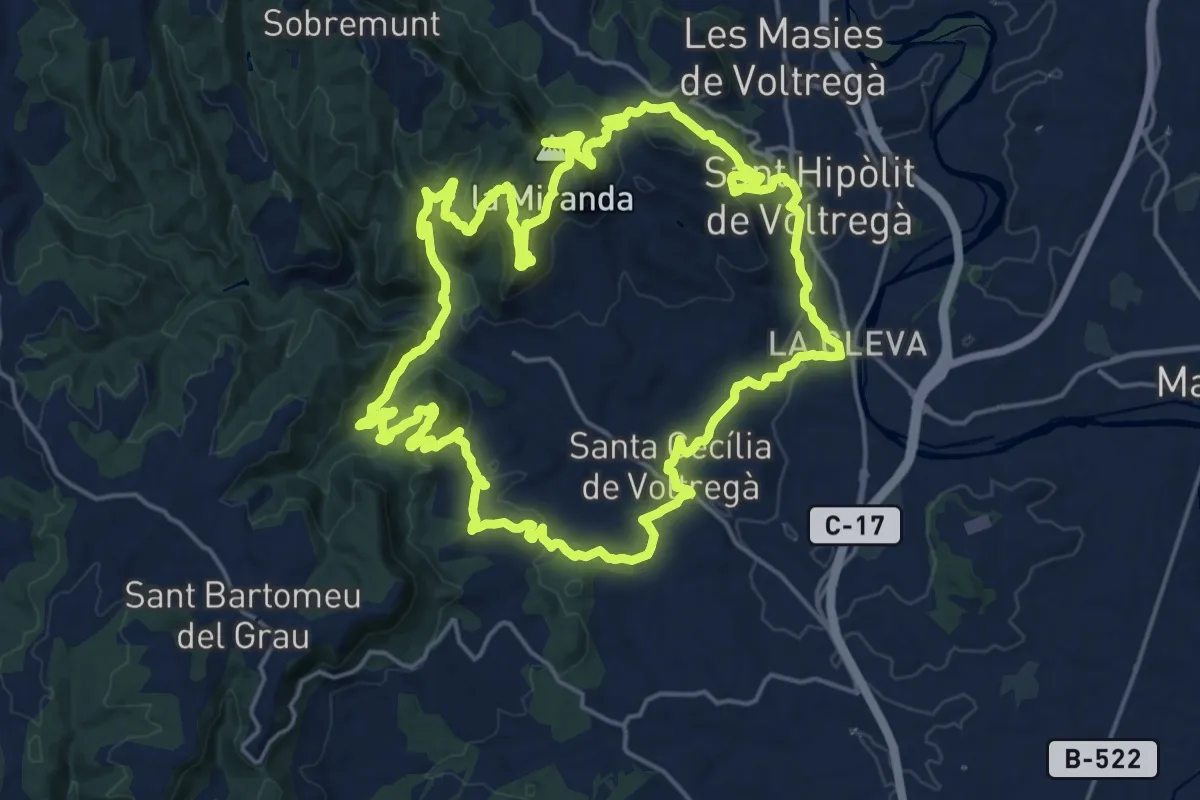
Demanding · Summit
Sender de Voltregà
22.6 km · ↑ 959 m · 7 h 43 min · 5 km away
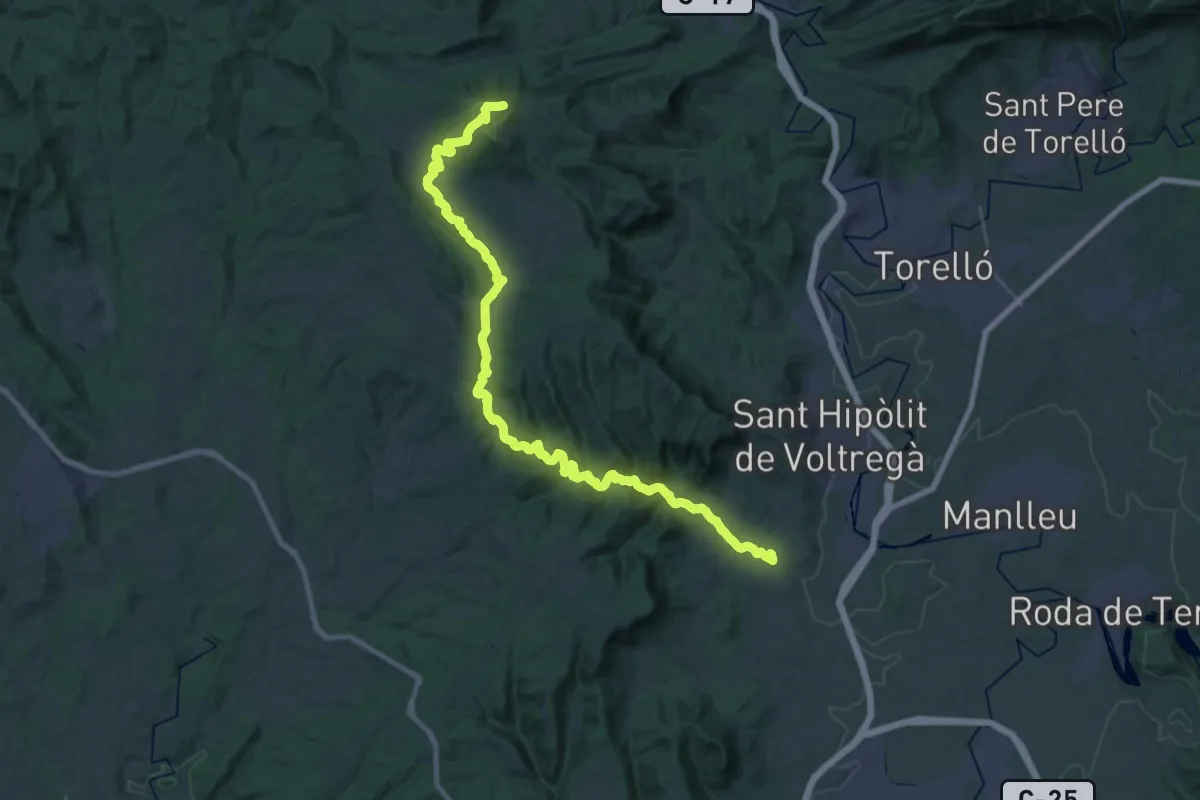
Demanding · Summit
Ruta del Sorreigs
37.9 km · ↑ 848 m · 10 h 47 min · 5 km away
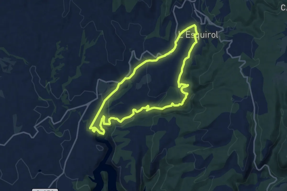
Medium · Trail
L'Esquirol, Salts i Gorgues
11.1 km · ↑ 397 m · 3 h 38 min · 6 km away
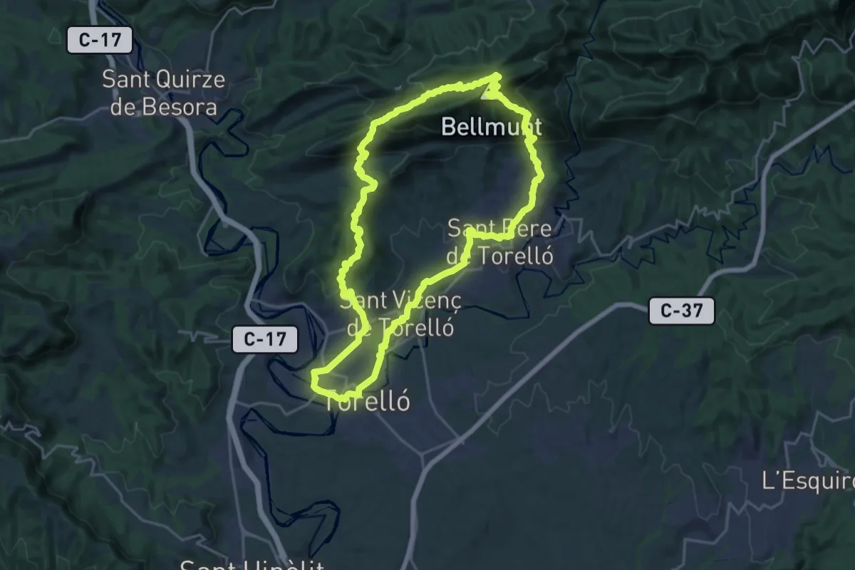
Demanding · Summit
Sender de Torelló
21.5 km · ↑ 933 m · 7 h 23 min · 7 km away
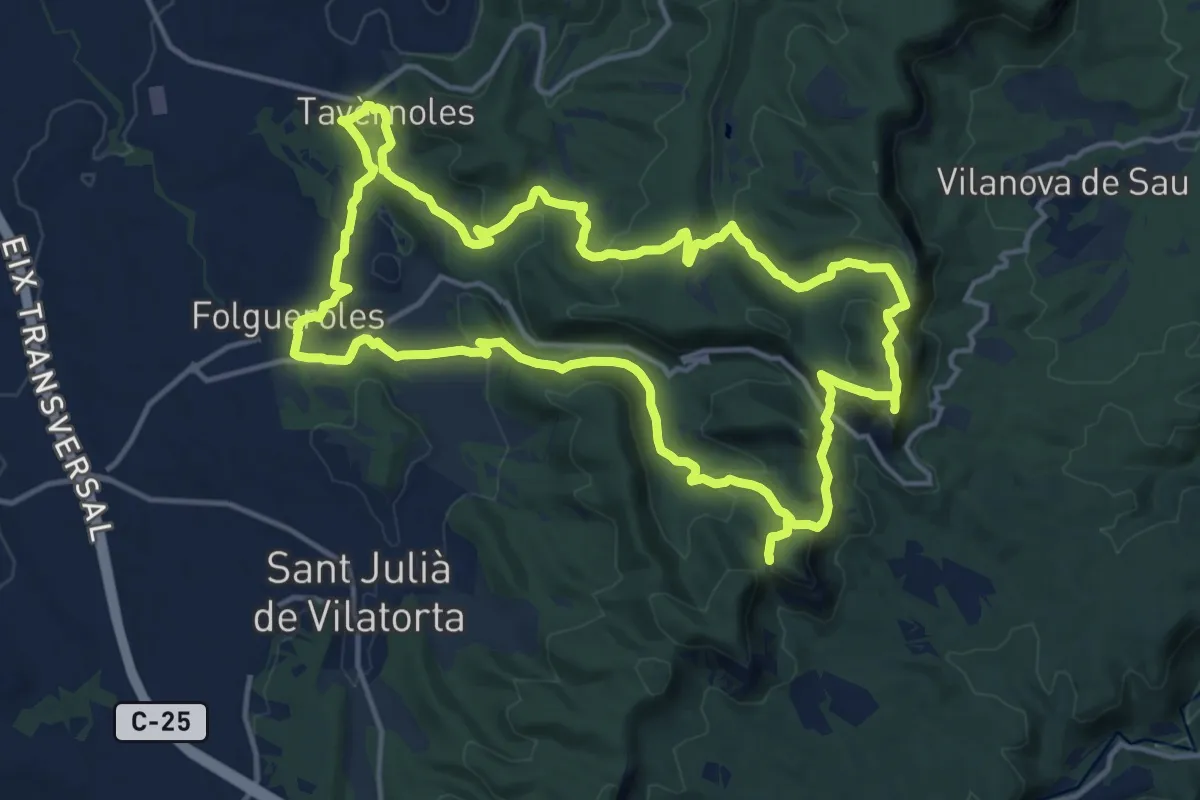
Medium · Summit
Camins de Verdaguer
16.7 km · ↑ 566 m · 5 h 24 min · 7 km away
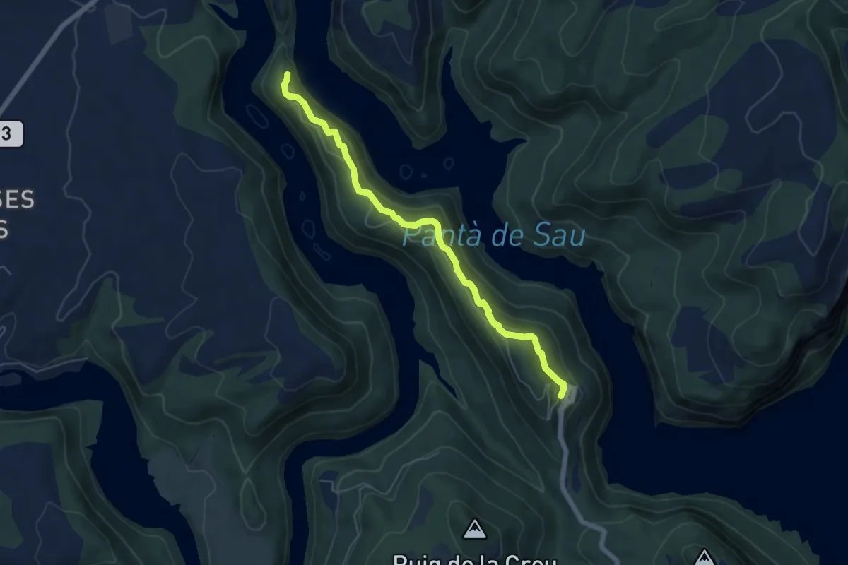
Easy · Trail
Sender al Monastir
5.9 km · ↑ 305 m · 2 h 3 min · 7 km away
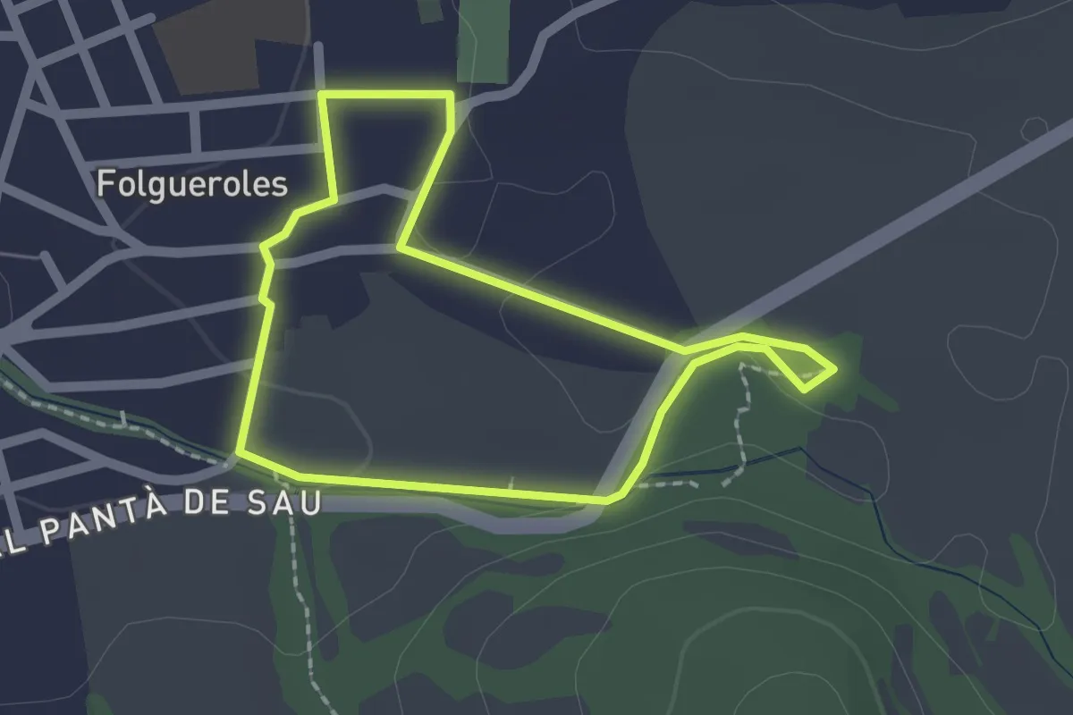
Easy · Trail
Folgueroles-Font Trobada
1.8 km · ↑ 12 m · 29 min · 7 km away
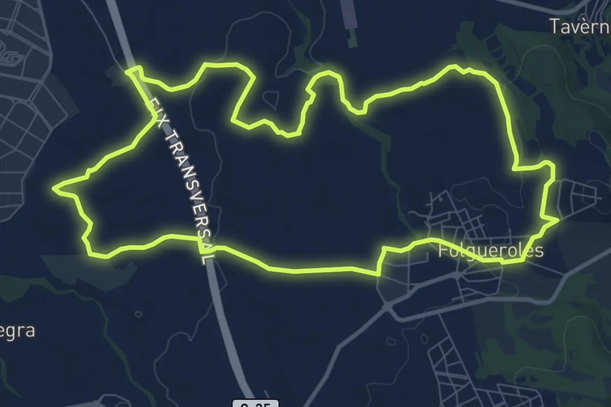
Medium · Trail
Folgueroles-Sant Jordi de Puigseslloses
10.1 km · ↑ 103 m · 2 h 45 min · 7 km away
Easy · Trail
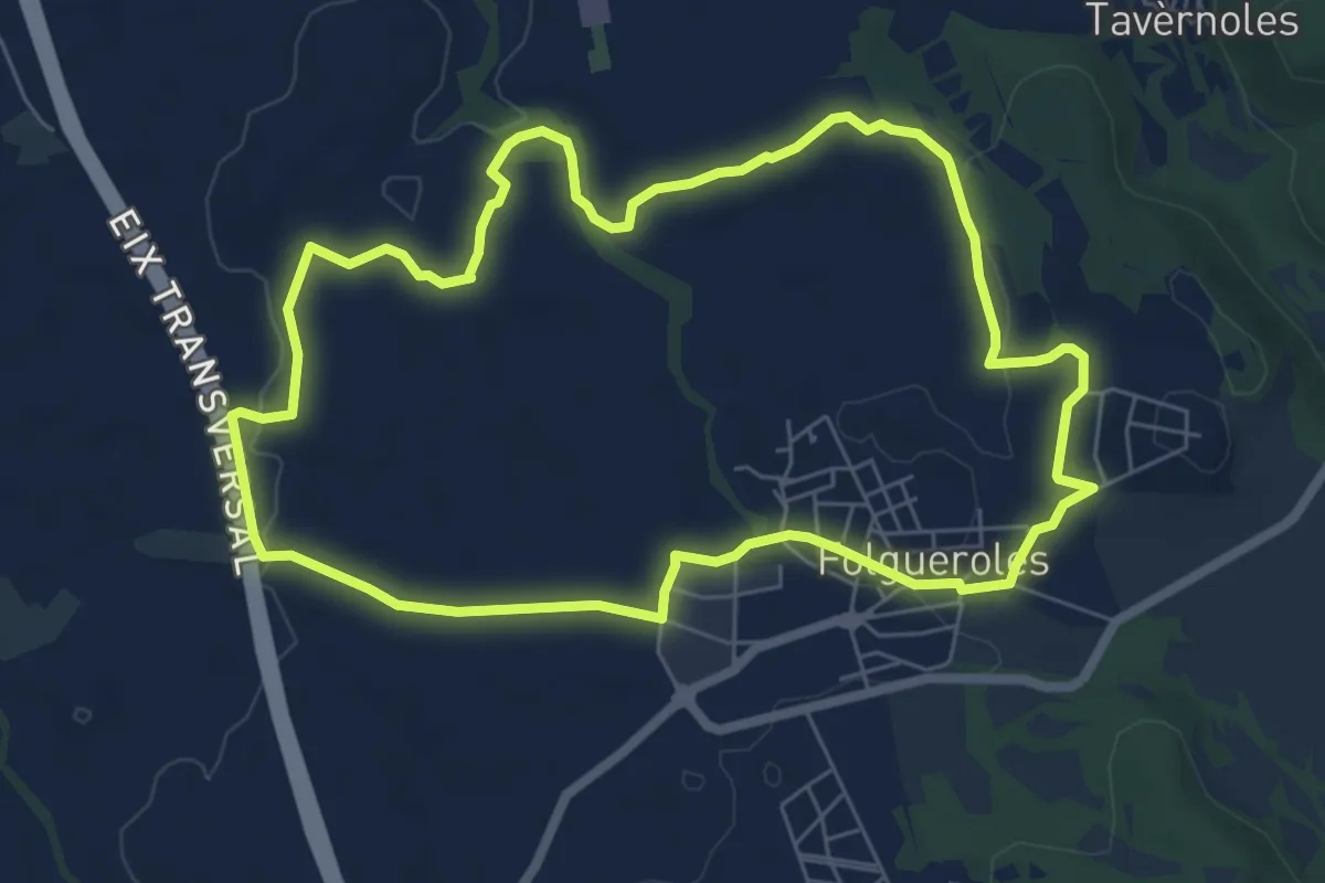
Folgueroles-Monòlits de Jacint Verdaguer
7.2 km · ↑ 85 m · 1 h 59 min · 7 km away
Medium · Trail
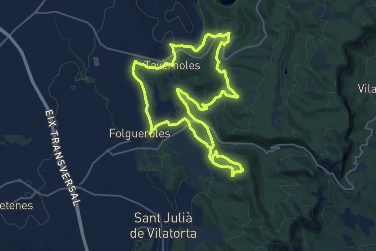
Folgueroles - Casol de Puigcastellet - Pla de Savassona
14.1 km · ↑ 430 m · 4 h 27 min · 8 km away
Medium · Summit
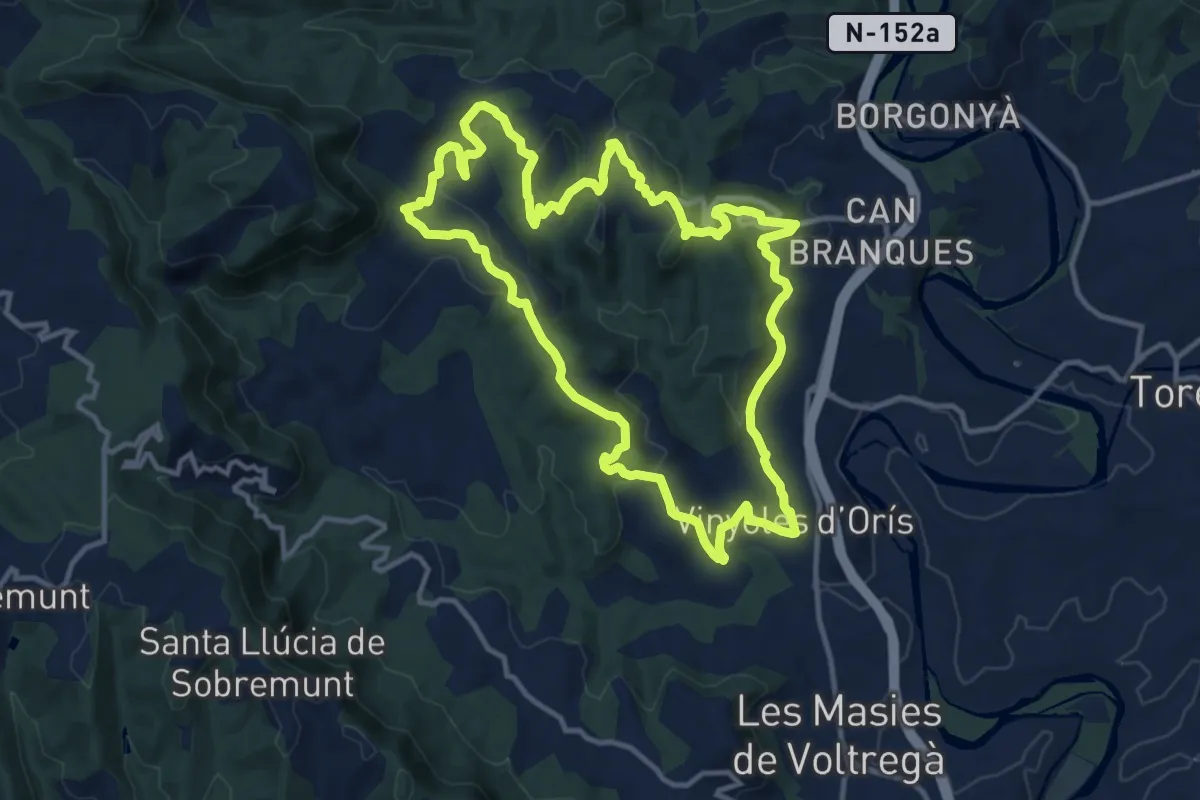
Sender d'Orís
13.2 km · ↑ 419 m · 4 h 13 min · 8 km away
Demanding · Summit
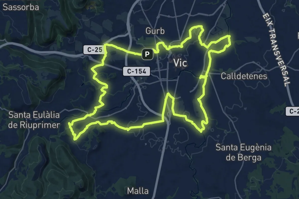
L'Anella Verda de Vic
25.7 km · ↑ 263 m · 7 h · 8 km away
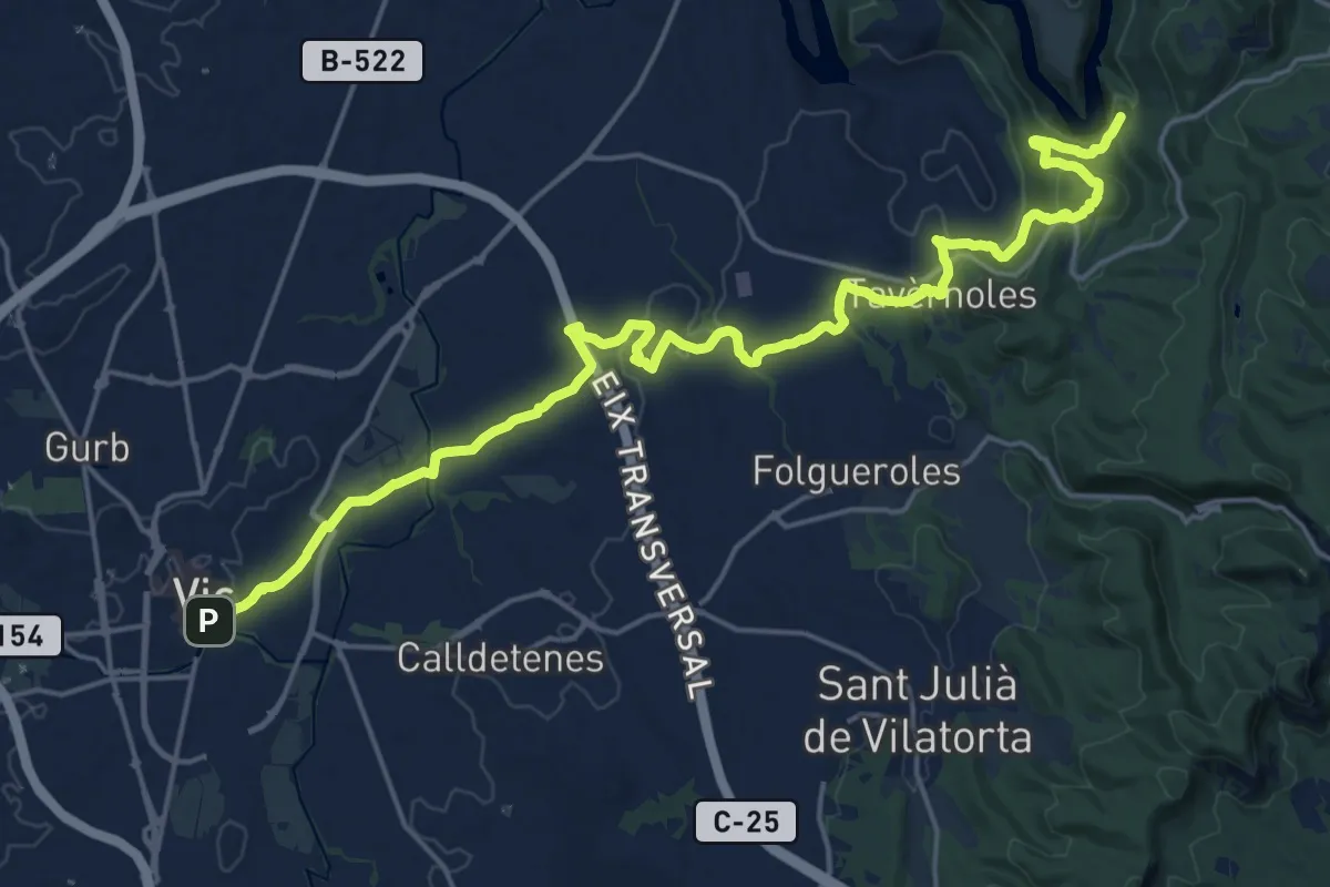
Demanding · Summit
Vic-Sant Pere de Casserres
25.8 km · ↑ 546 m · 7 h 17 min · 8 km away
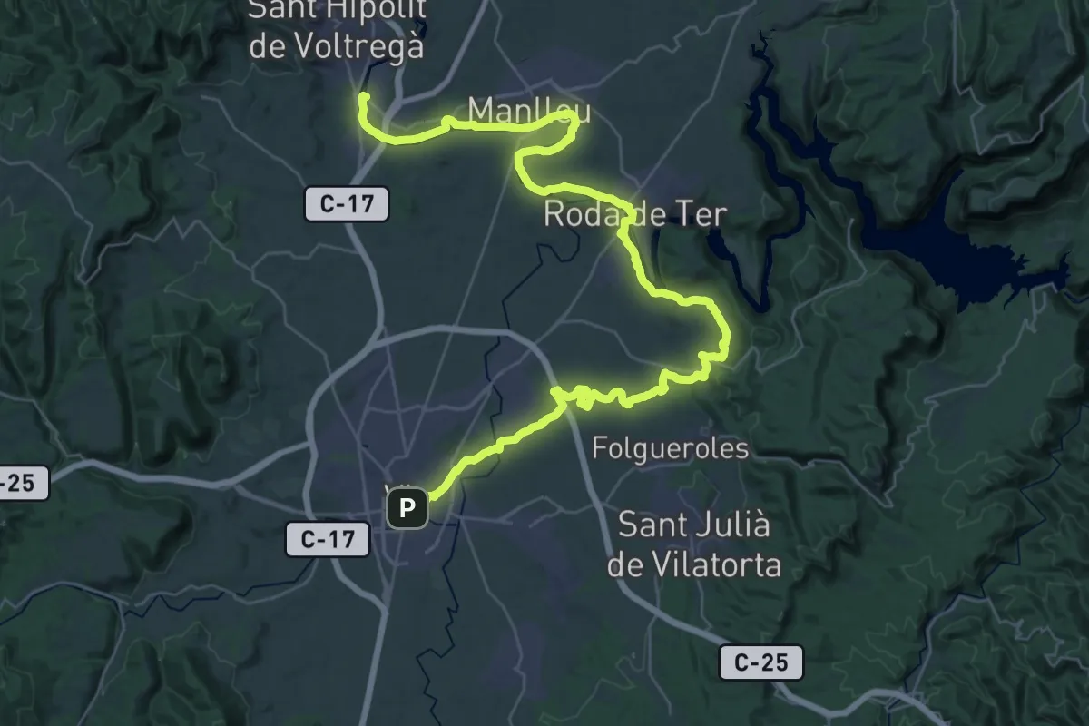
Demanding · Trail
Senders del 1714 - Etapa 06
24.4 km · ↑ 218 m · 6 h 35 min · 8 km away
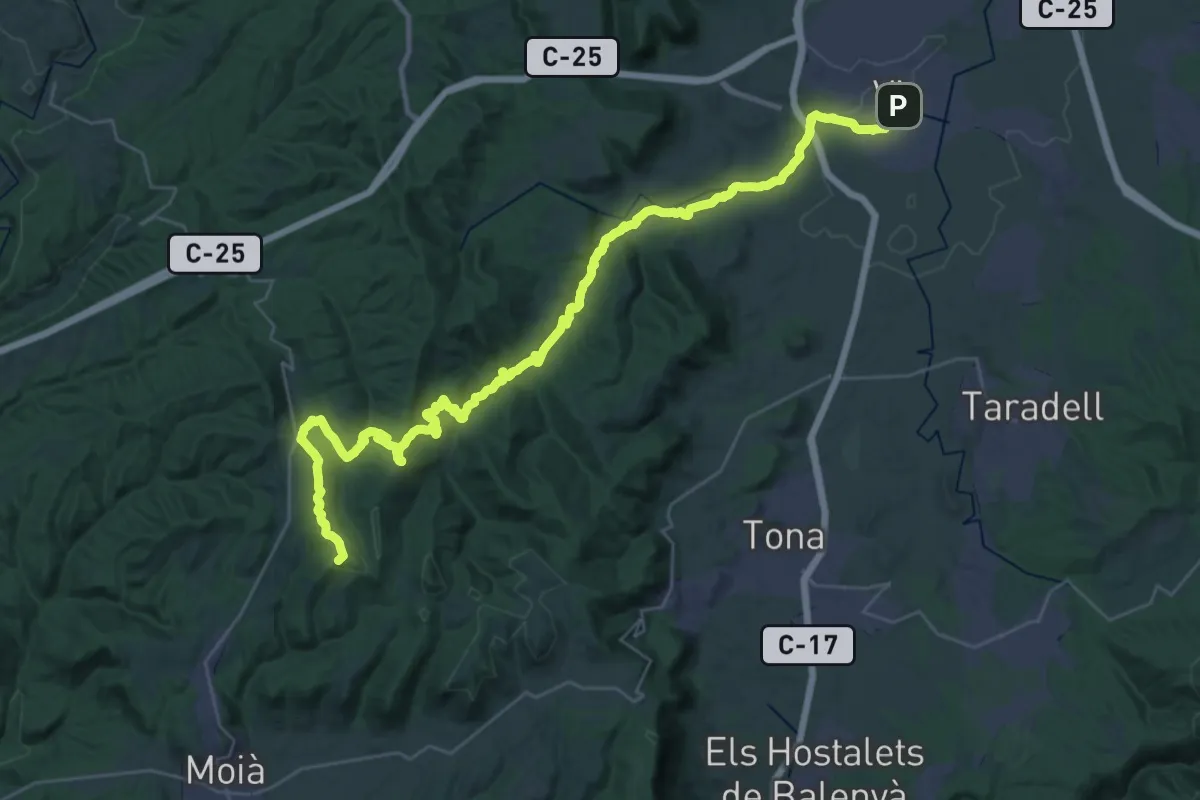
Demanding · Summit
Senders del 1714 - Etapa 05
45.2 km · ↑ 1143 m · 13 h 9 min · 8 km away
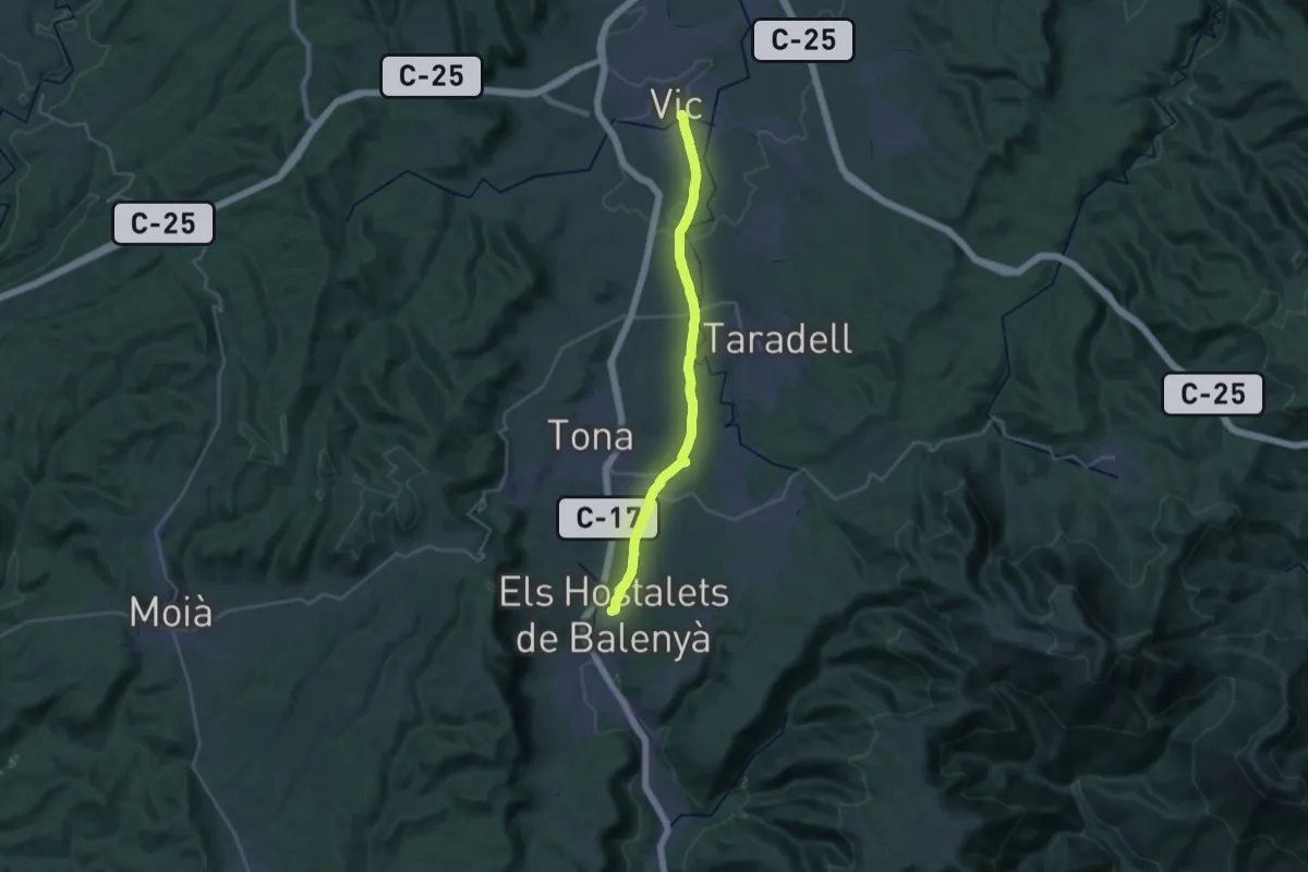
Demanding · Trail
Variant del Camí Ral de Barcelona a Vic
27.7 km · ↑ 160 m · 6 h 54 min · 8 km away
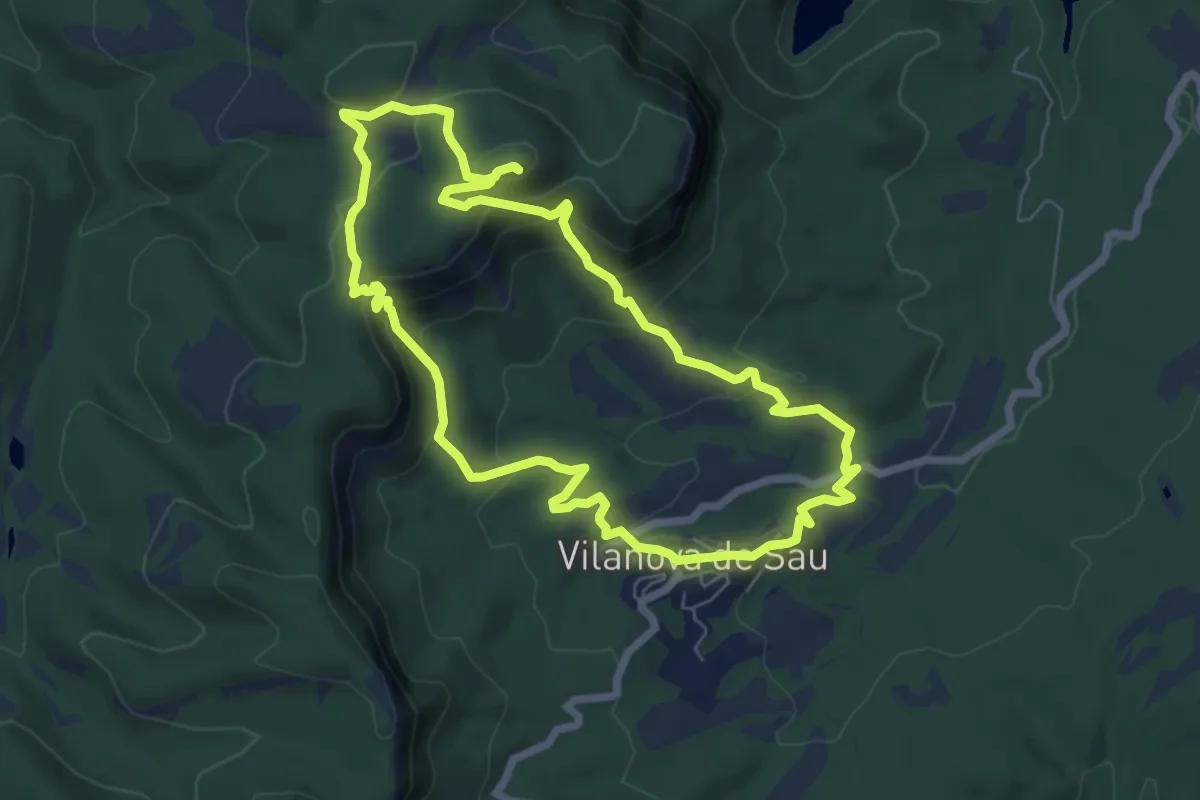
Medium · Summit
Puig del Far
7.1 km · ↑ 332 m · 2 h 30 min · 8 km away
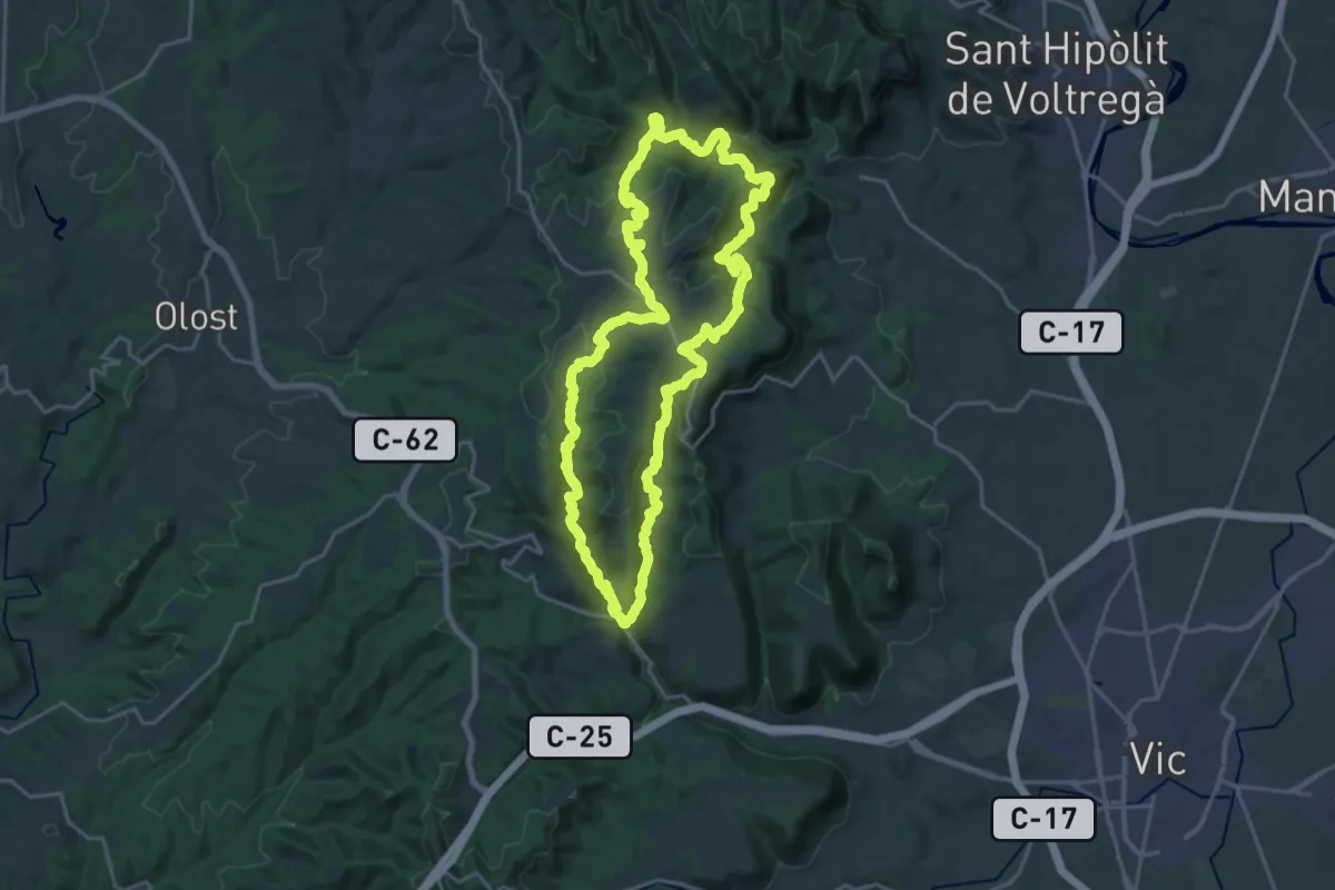
Demanding · Summit
Sant Bertomeu del Grau
22.3 km · ↑ 757 m · 7 h 13 min · 9 km away
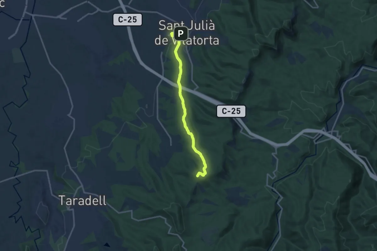
Medium · Summit
Sant Julià de Vilatorta-Puig l'Agulla
10.9 km · ↑ 217 m · 3 h 3 min · 9 km away
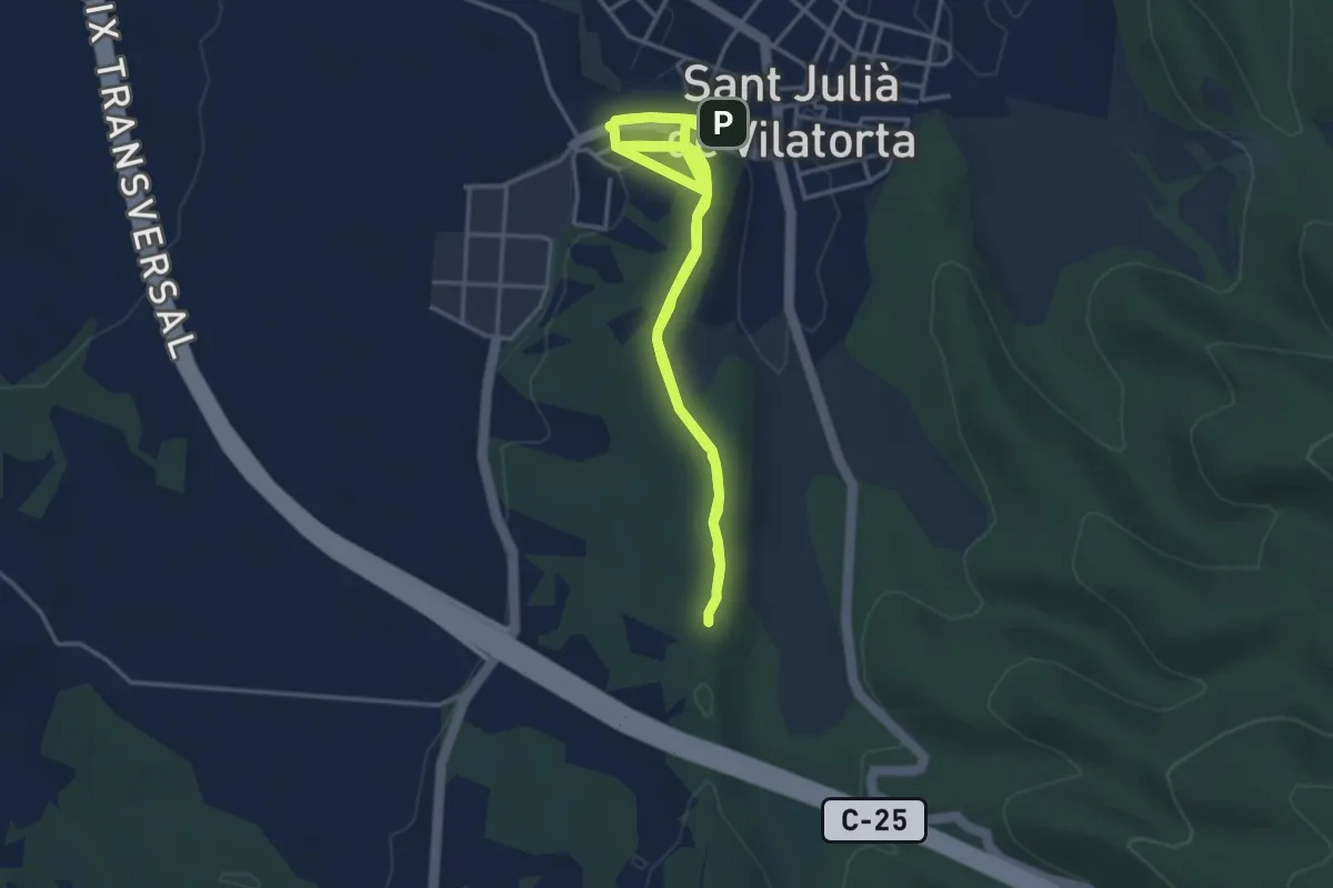
Medium · Trail
La Font de la Riera
4.3 km · ↑ 68 m · 1 h 14 min · 9 km away
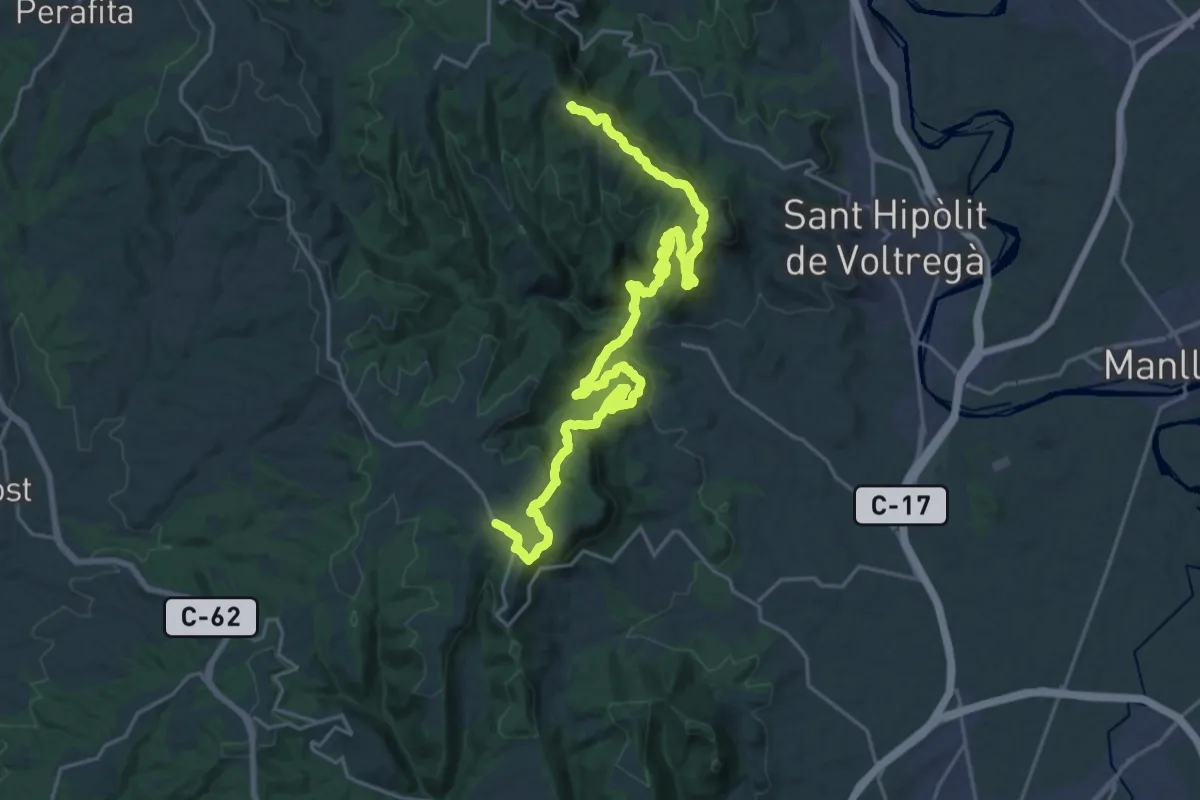
Demanding · Summit
GR 3 Sender Central de Catalunya - Etapa 33
29.5 km · ↑ 1267 m · 9 h 43 min · 9 km away
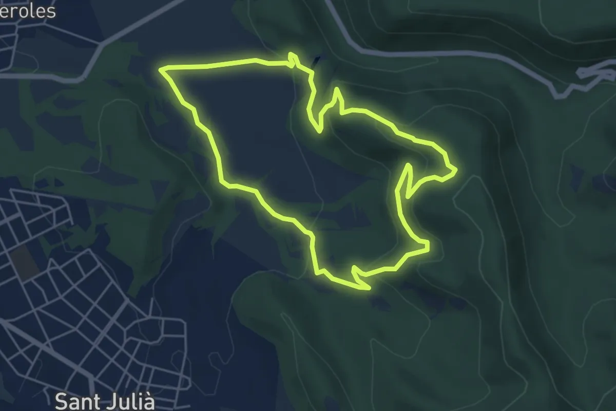
Easy · Trail
El Casol de Puigcastellet
5.2 km · ↑ 214 m · 1 h 46 min · 9 km away
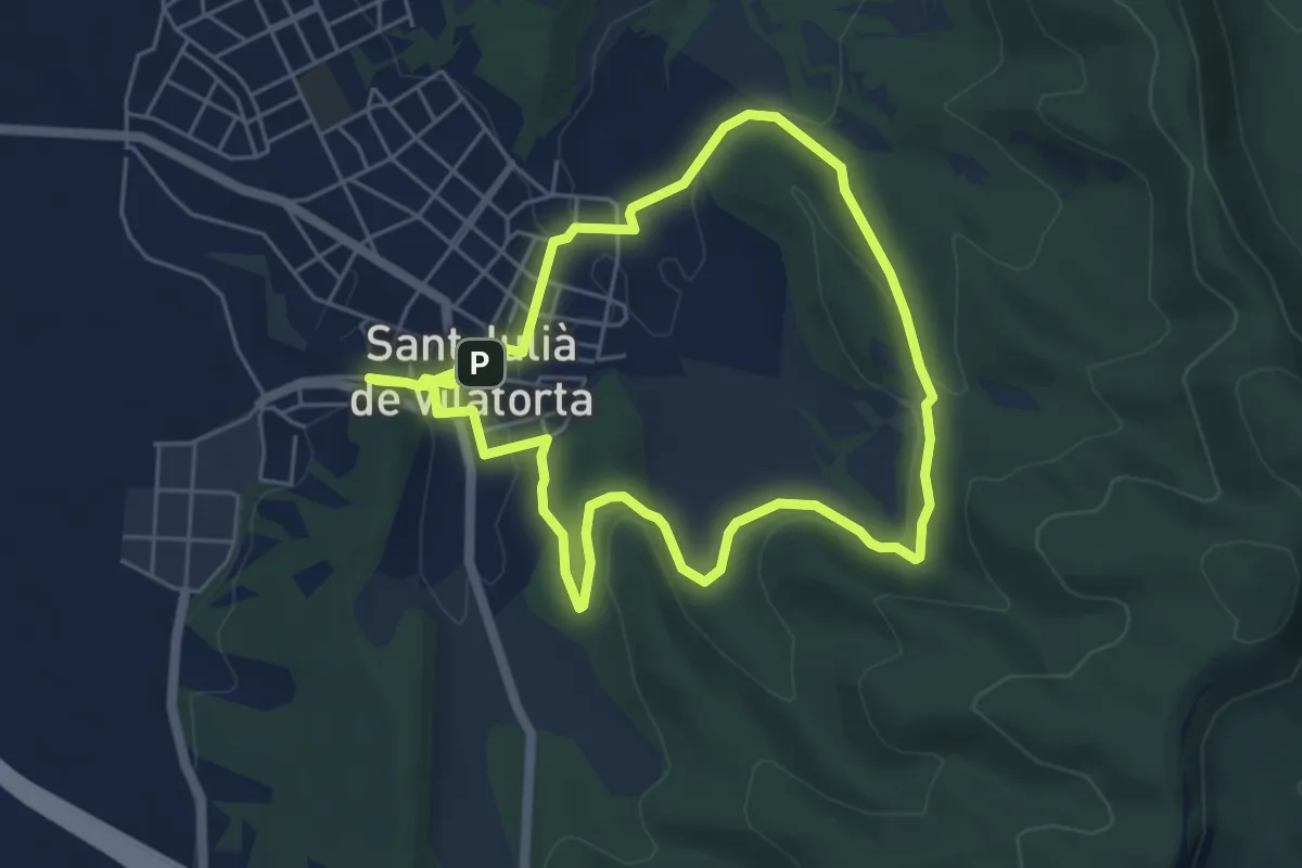
Easy · Trail
Puigsec
5.6 km · ↑ 97 m · 1 h 37 min · 9 km away
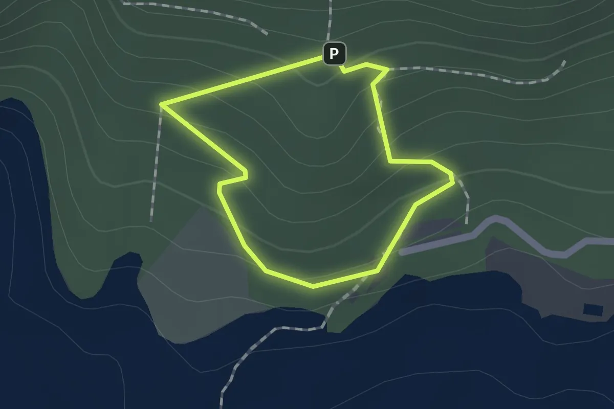
Easy · Trail
Domus del Pi
1.1 km · ↑ 56 m · 24 min · 9 km away
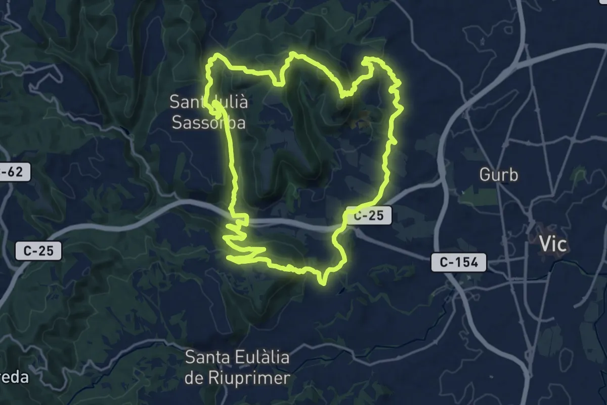
Demanding · Summit
Sender de Gurb
19.1 km · ↑ 703 m · 6 h 19 min · 10 km away
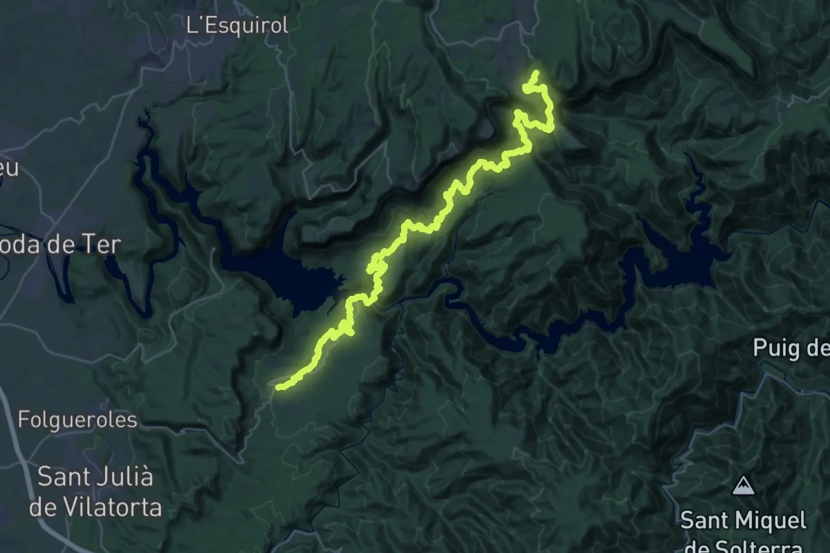
Demanding · Summit
Vilanova de Sau-Rupit
40.6 km · ↑ 1378 m · 12 h 35 min · 10 km away
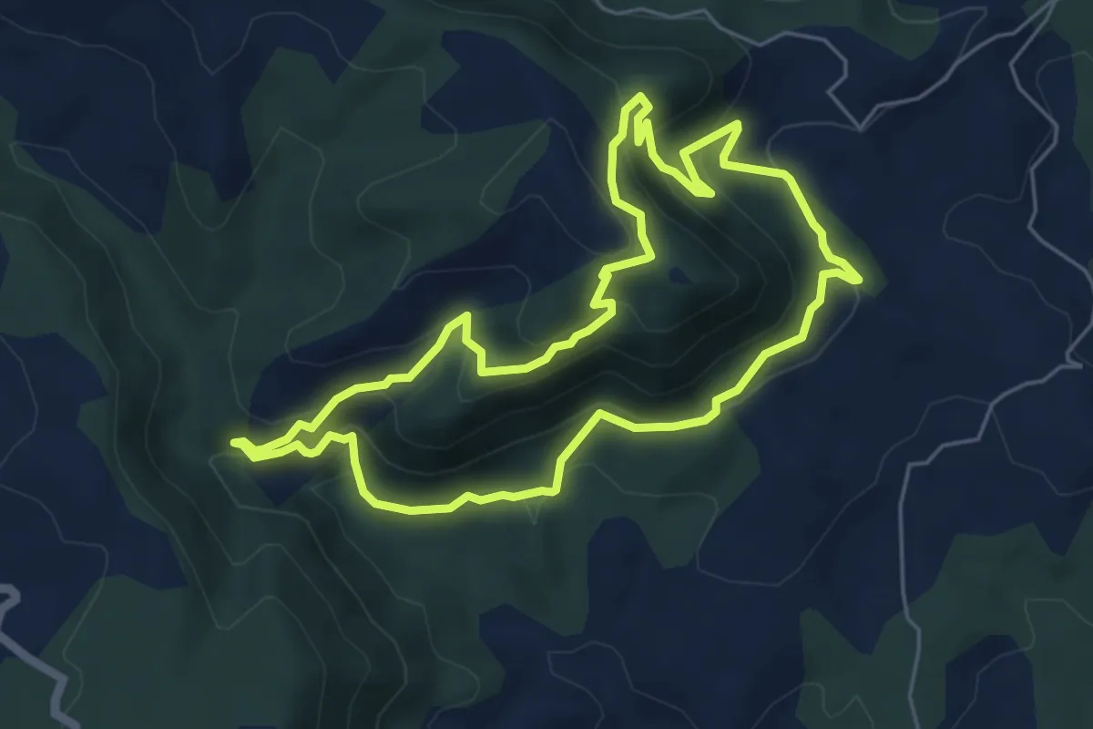
Medium · Summit
Variant PR-C 54.1 Sender d'Orís
5.9 km · ↑ 384 m · 2 h 18 min · 10 km away
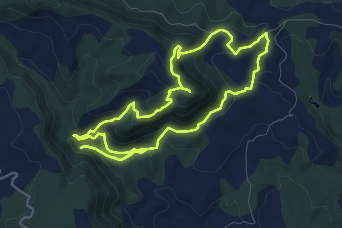
Medium · Summit
Sant Salvador de Bellver
8.5 km · ↑ 468 m · 3 h 8 min · 10 km away
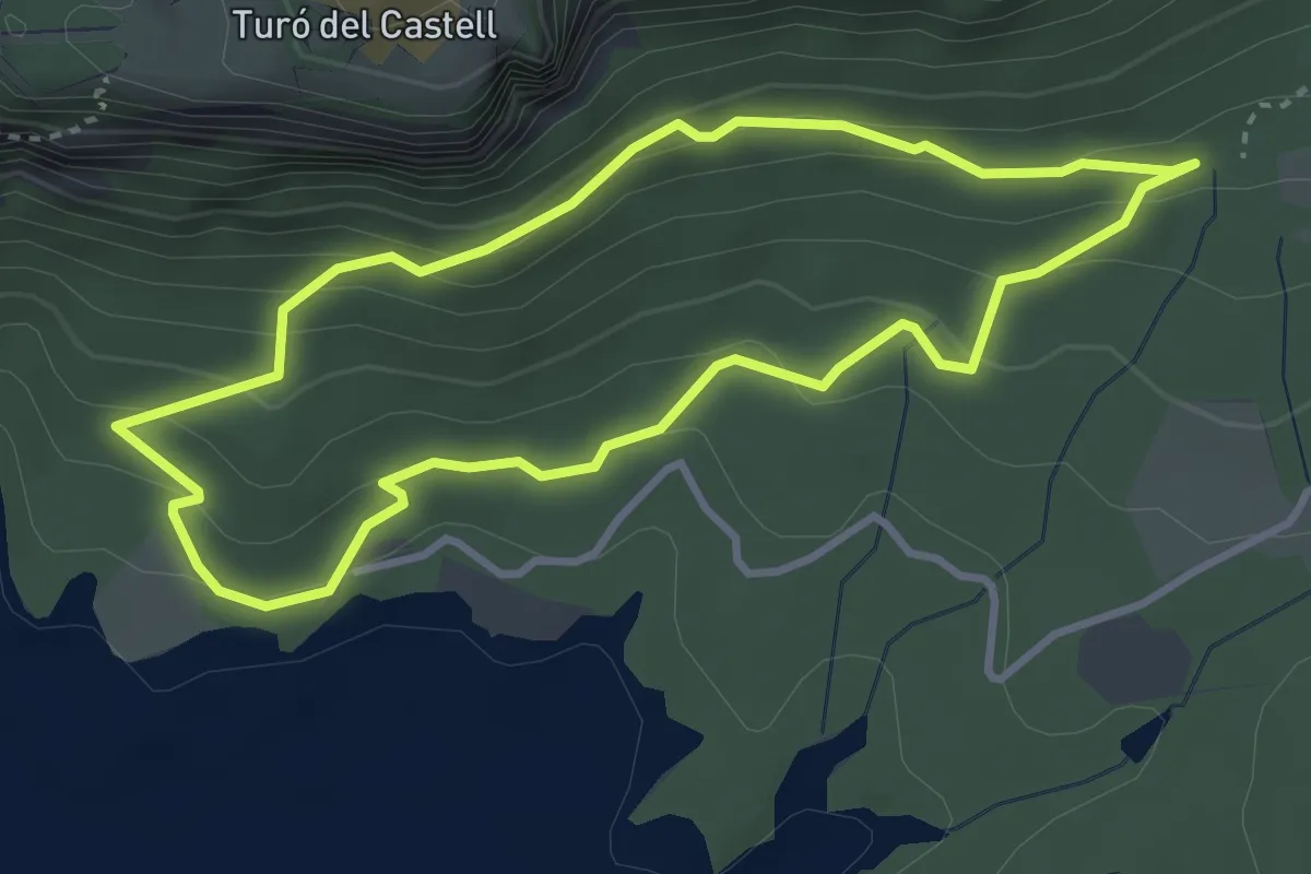
Easy · Trail
Ruta de les carboneres
3.6 km · ↑ 172 m · 1 h 16 min · 10 km away
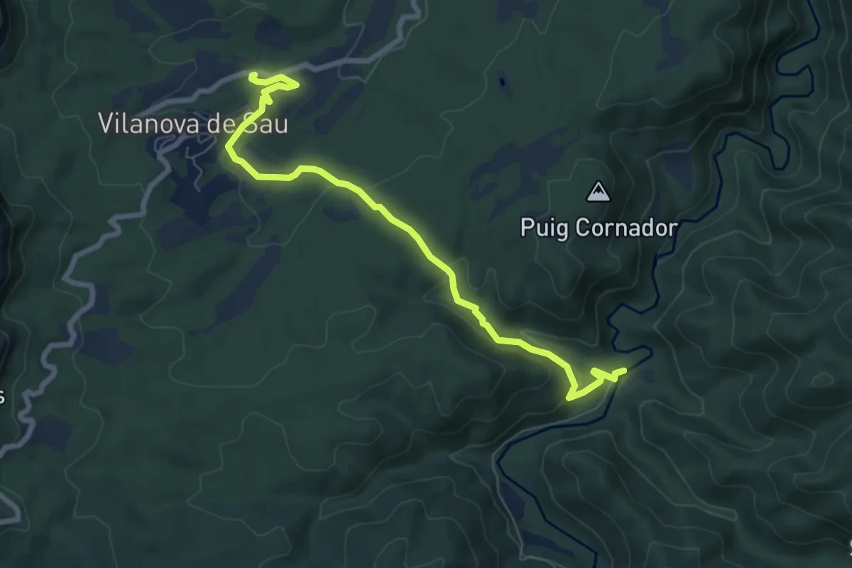
Easy · Trail
Pont de Malafogassa
7.8 km · ↑ 206 m · 2 h 17 min · 10 km away
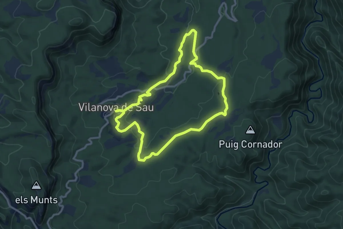
Easy · Trail
Vilanova de Sau-La Coromina
7.3 km · ↑ 146 m · 2 h 8 min · 10 km away
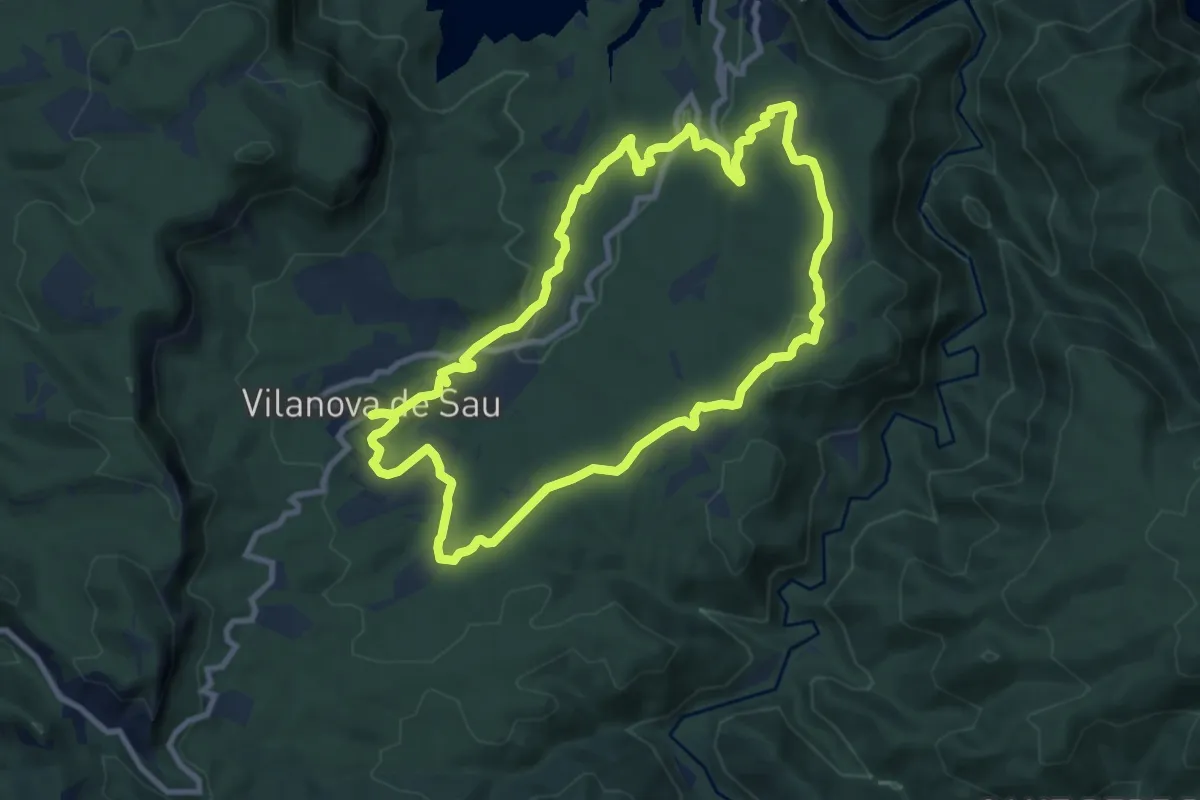
Medium · Trail
Vilanova de Sau-Sant Romà de Sau
9.8 km · ↑ 184 m · 2 h 51 min · 11 km away
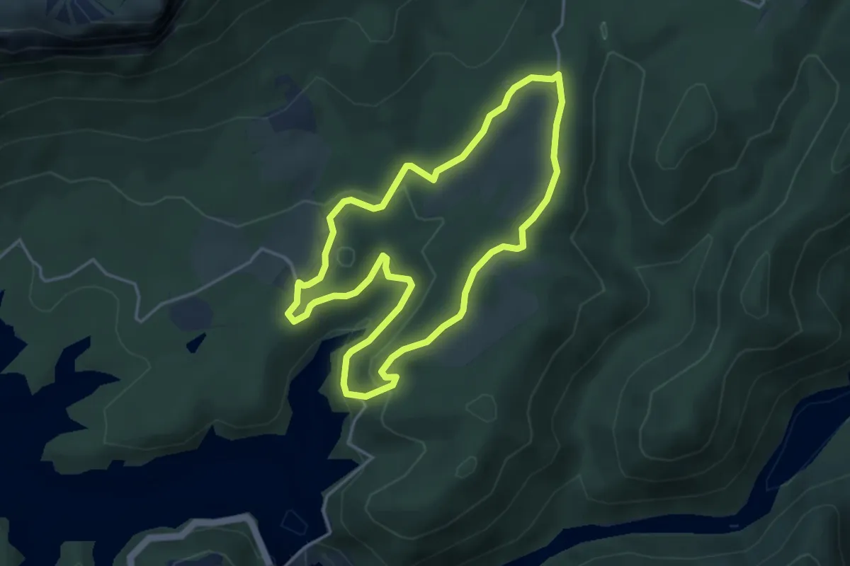
Easy · Trail
La Riba-el Bruguer
4.2 km · ↑ 101 m · 1 h 15 min · 11 km away
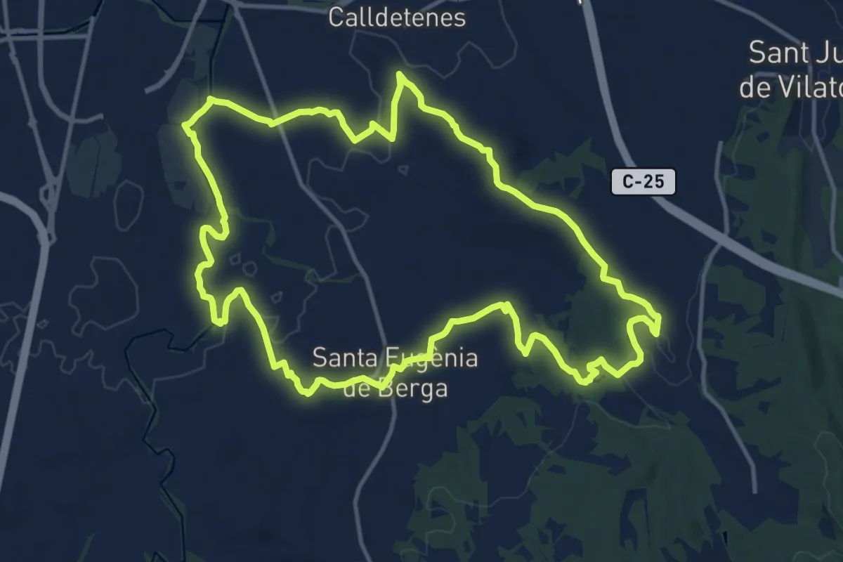
Medium · Trail
Sender de Santa Eugènia de Berga
14.2 km · ↑ 161 m · 3 h 54 min · 11 km away
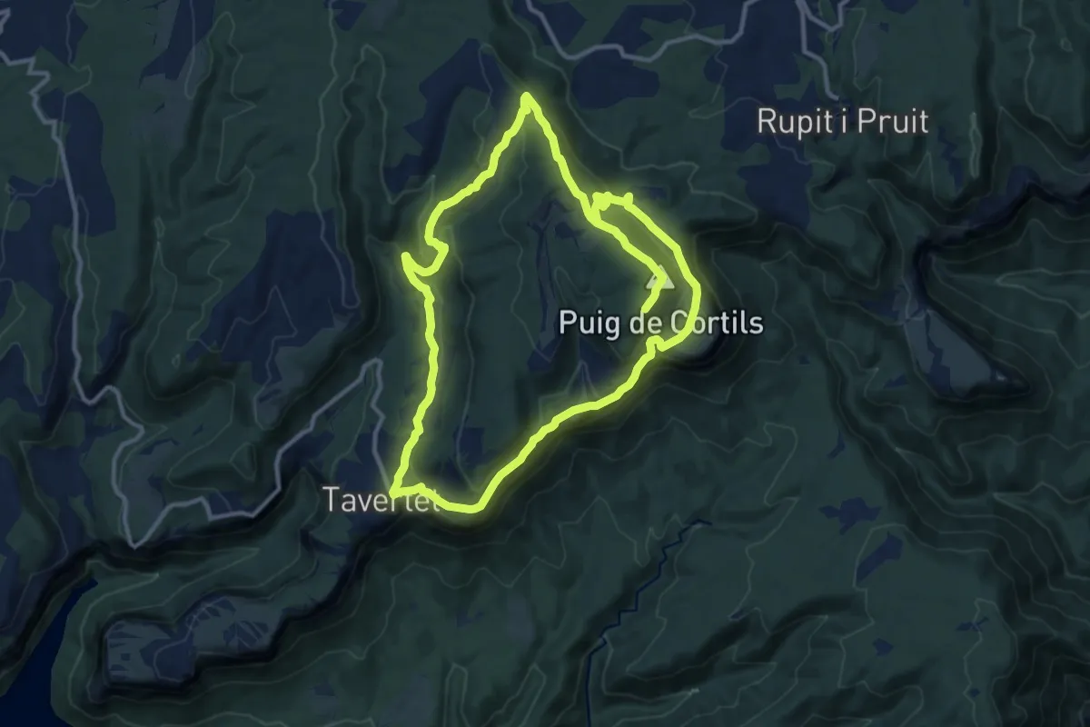
Medium · Summit
Rupit a Roca Llarga, Sant Corneli i Tavertet
13.3 km · ↑ 464 m · 4 h 21 min · 12 km away
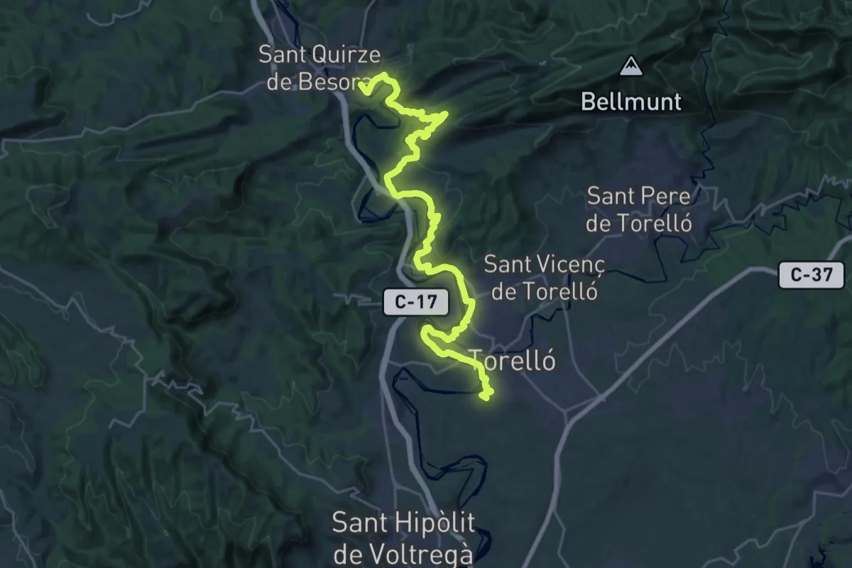
Demanding · Summit
Senders del 1714 - Etapa 07
29.2 km · ↑ 801 m · 8 h 38 min · 12 km away
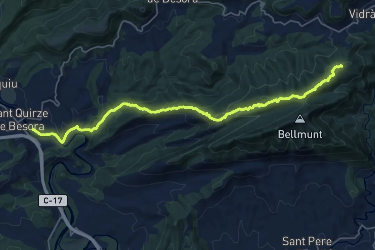
Medium · Summit
GR 3 Sender Central de Catalunya - Etapa 31
17.3 km · ↑ 716 m · 5 h 38 min · 12 km away
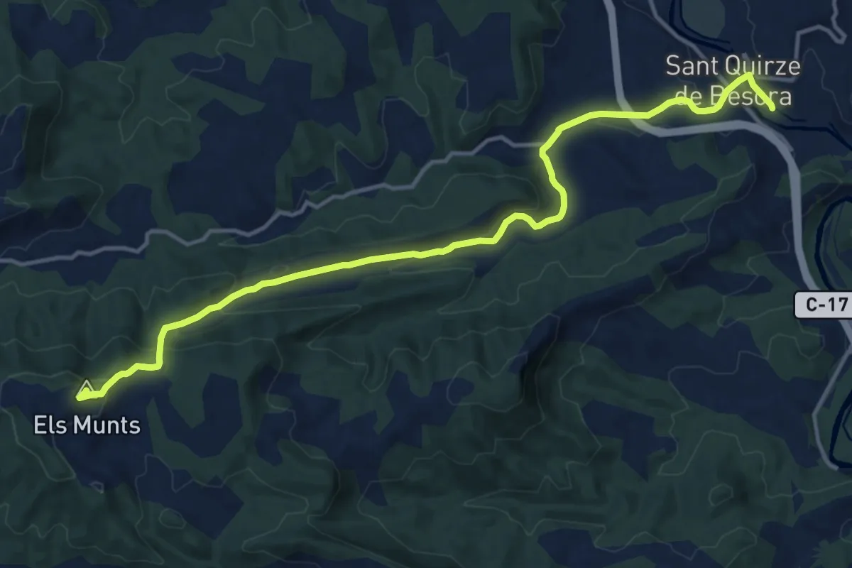
Medium · Summit
GR 3 Sender Central de Catalunya - Etapa 32
15.2 km · ↑ 529 m · 4 h 43 min · 12 km away
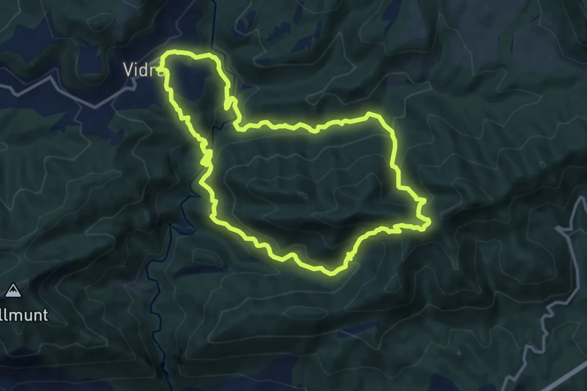
Expert · Summit
Vidrà-Puig de les Àligues
11.0 km · ↑ 653 m · 4 h 9 min · 13 km away
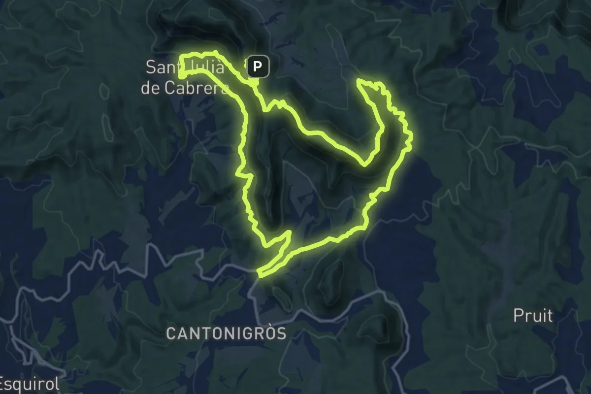
Medium · Summit
Cantonigrós-Aiats-Santuari de Cabrera
16.0 km · ↑ 798 m · 5 h 43 min · 13 km away
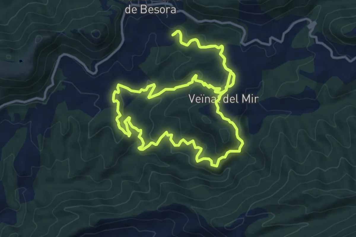
Medium · Summit
Salt del Mir
10.2 km · ↑ 447 m · 3 h 30 min · 13 km away
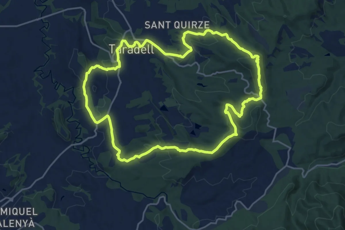
Medium · Summit
Sender de Taradell
14.8 km · ↑ 397 m · 4 h 34 min · 14 km away
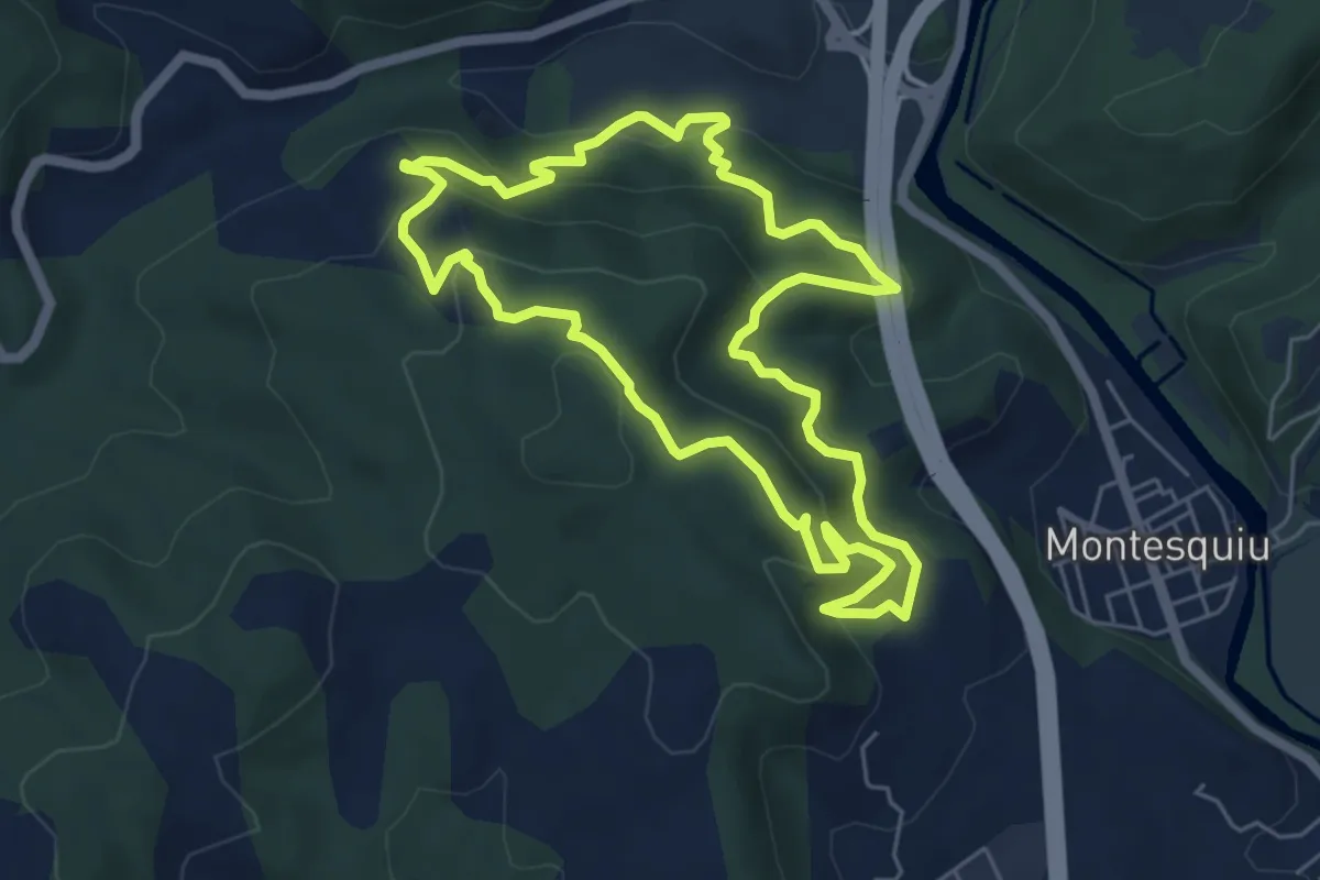
Medium · Trail
Obaga de les Codines
6.1 km · ↑ 331 m · 2 h 14 min · 14 km away
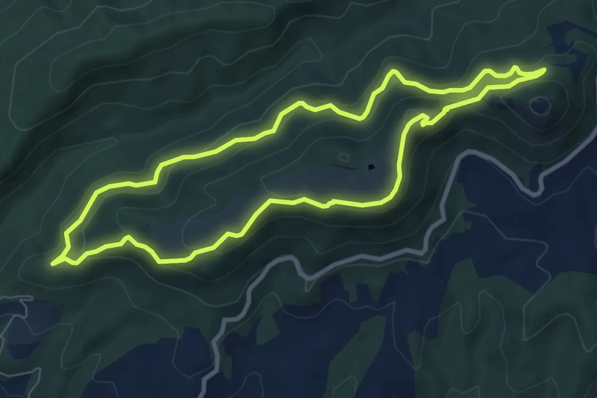
Medium · Summit
Del Castell de Montesqui al Castell de Besora
7.1 km · ↑ 355 m · 2 h 32 min · 14 km away
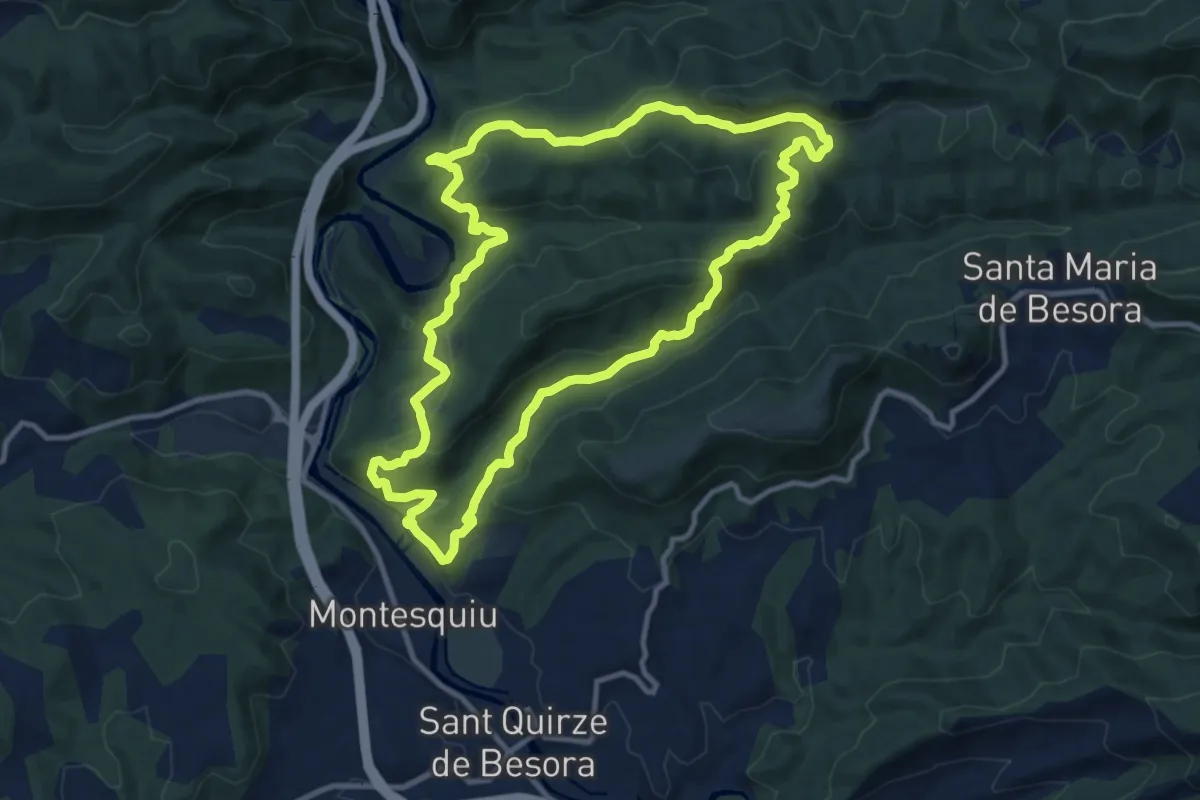
Medium · Trail
Serra dels Bufadors
11.7 km · ↑ 522 m · 4 h 3 min · 14 km away
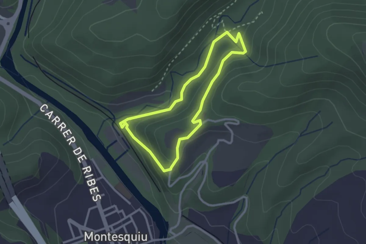
Easy · Trail
Obaga del Castell
2.3 km · ↑ 84 m · 45 min · 14 km away
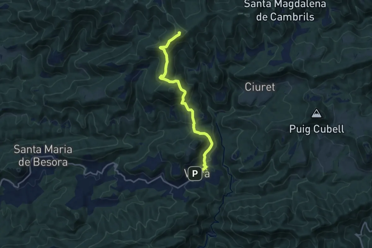
Medium · Summit
GR 3 Sender Central de Catalunya - Etapa 30
11.5 km · ↑ 643 m · 4 h 7 min · 14 km away
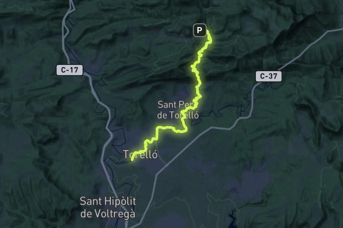
Medium · Trail
Torelló-Vidrà
17.9 km · ↑ 258 m · 5 h 17 min · 14 km away