Trails near Manresa
48 hikes starting within 15 km, nearest first.
Nearest first
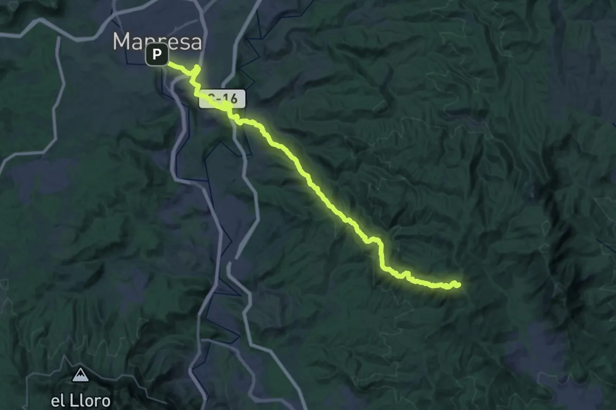
Demanding · Summit
Camí Ral de Barcelona a Manresa
40.3 km · ↑ 1561 m · 12 h 53 min · 1 km away
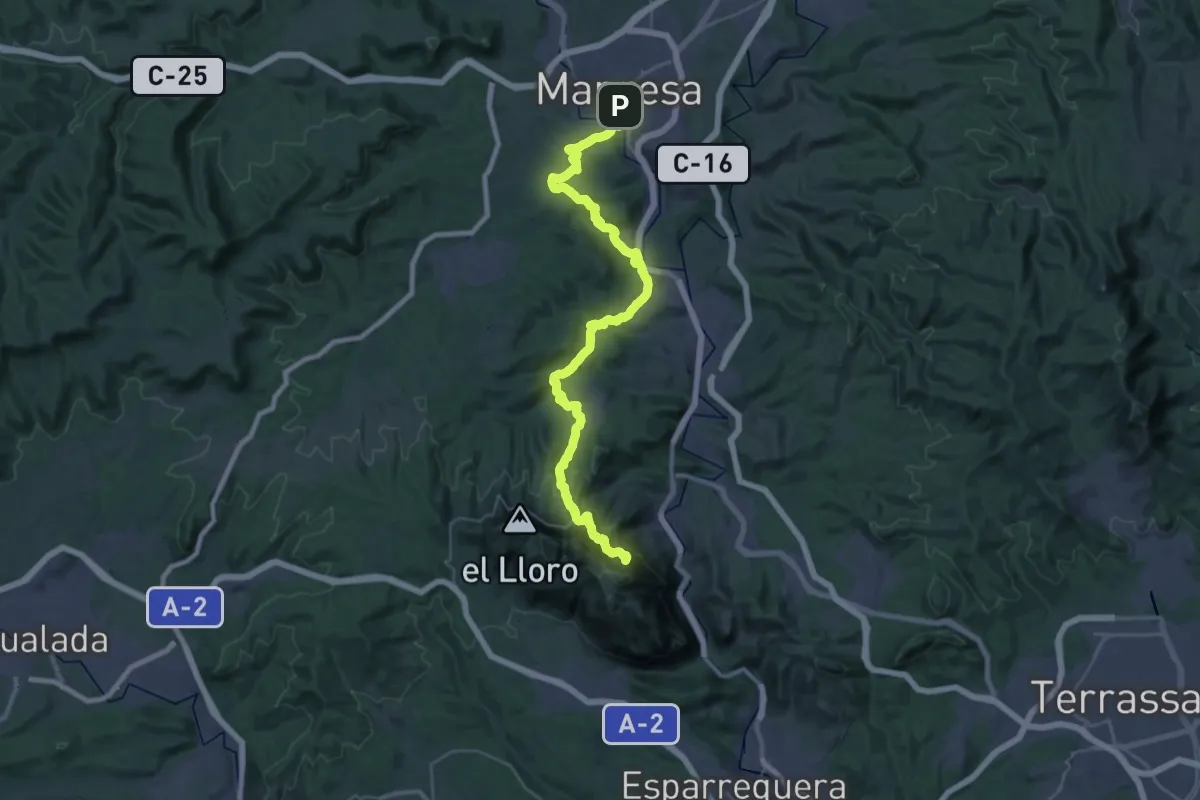
Expert · Summit
Camí Ignasià Català 7: Montserrat - Manresa
46.8 km · ↑ 1645 m · 14 h 37 min · 1 km away
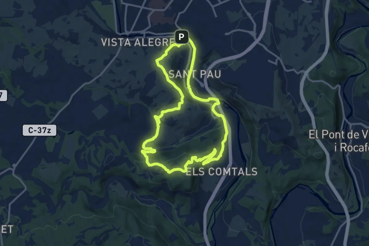
Medium · Summit
M9 - Els Comtals i la serra de Montlleó
11.0 km · ↑ 305 m · 3 h 25 min · 1 km away
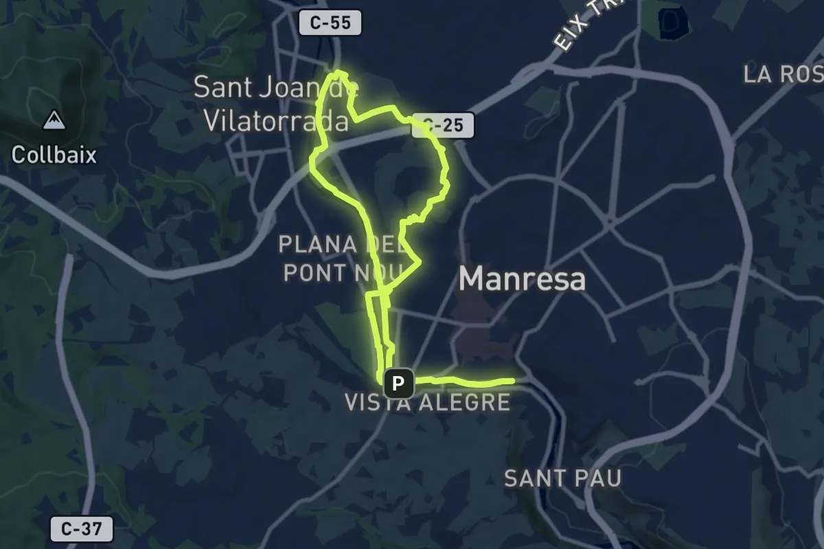
Medium · Summit
M8 - Itinerari El Cardener i el Puigberenguer
9.8 km · ↑ 117 m · 2 h 42 min · 1 km away
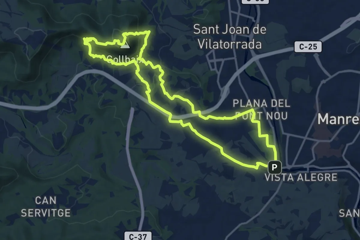
Medium · Summit
M1 - Itinerari El Collbaix
11.9 km · ↑ 439 m · 3 h 56 min · 2 km away
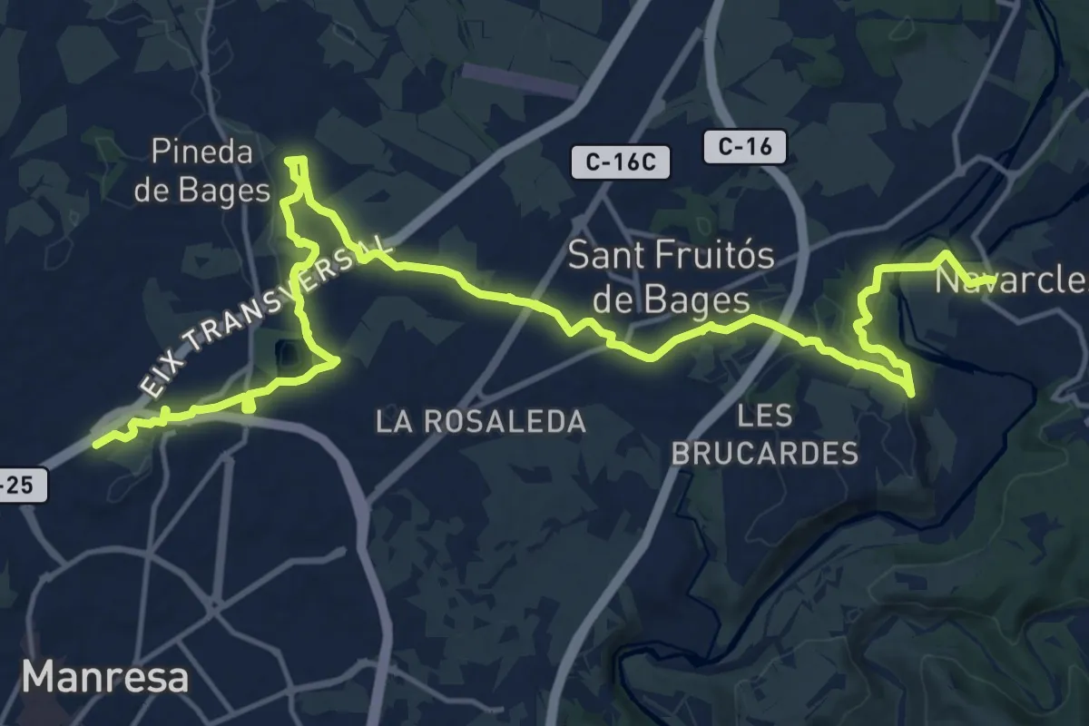
Demanding · Trail
GR 3 Sender Central de Catalunya - Etapa 38
23.1 km · ↑ 330 m · 6 h 10 min · 2 km away
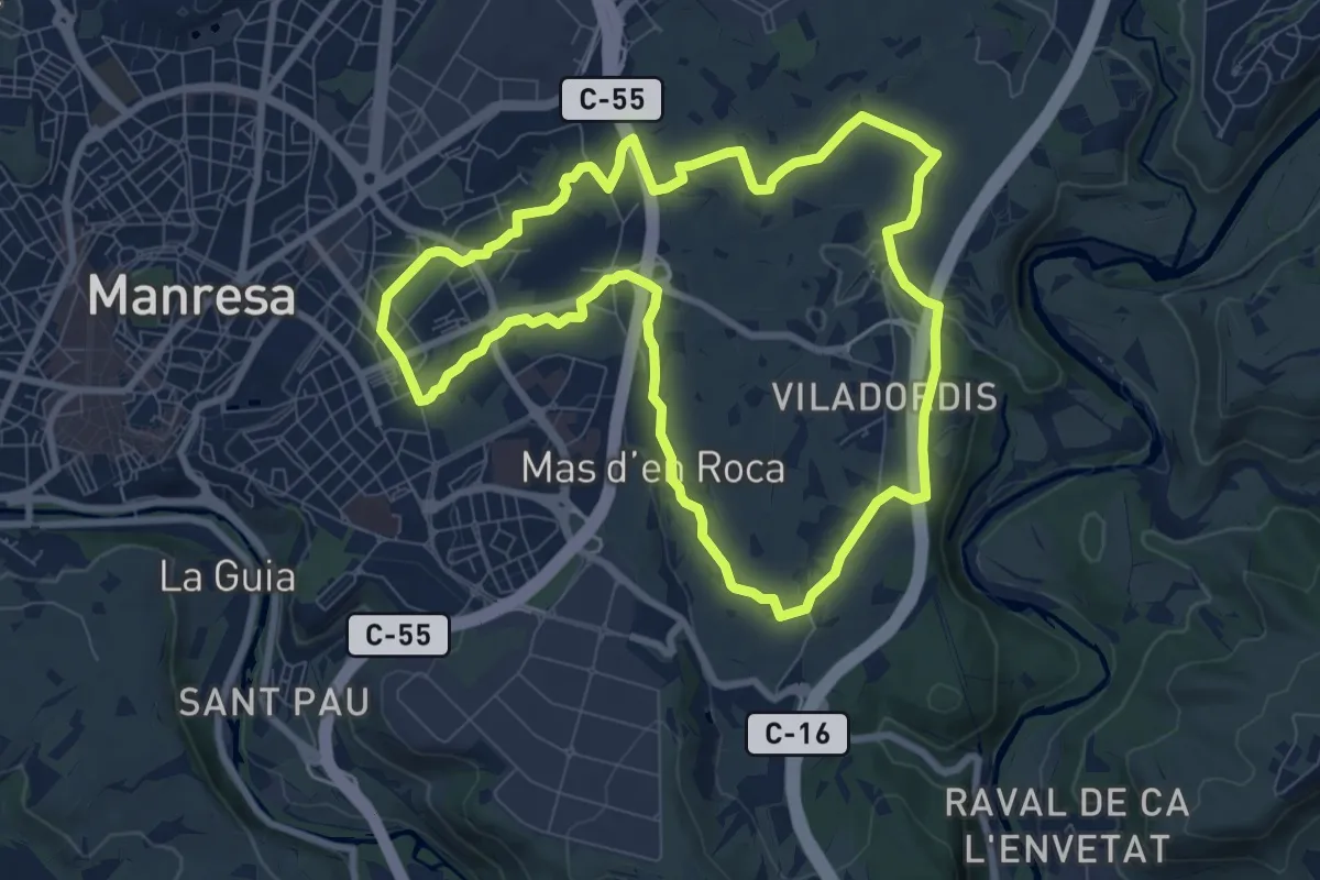
Medium · Trail
M6 - Itinerari El regadiu de Viladordis
9.2 km · ↑ 110 m · 2 h 32 min · 2 km away
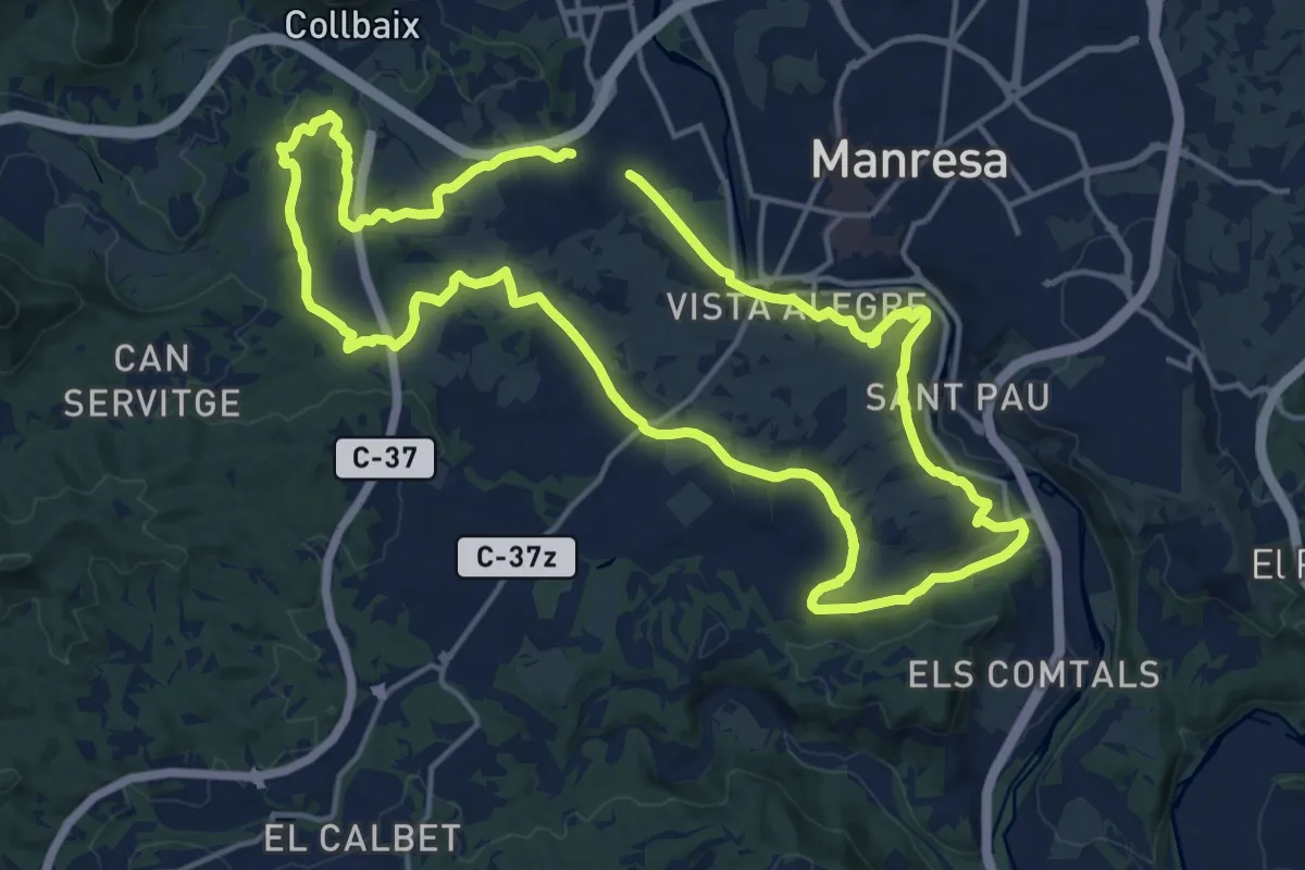
Medium · Trail
M2 - Itinerari La riera de Rajadell
17.5 km · ↑ 274 m · 4 h 58 min · 2 km away
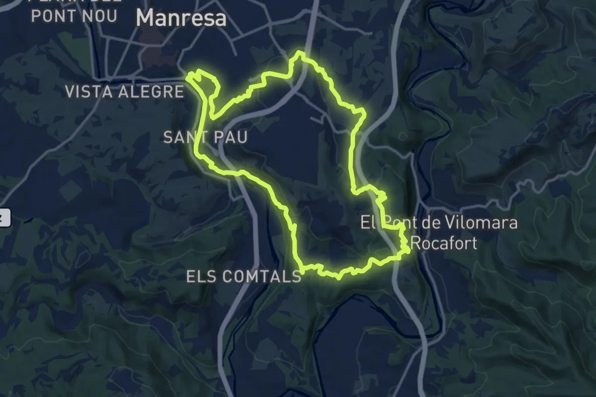
Medium · Summit
M4 - Itinerari Del Cardener al Llobregat
13.9 km · ↑ 414 m · 4 h 23 min · 2 km away
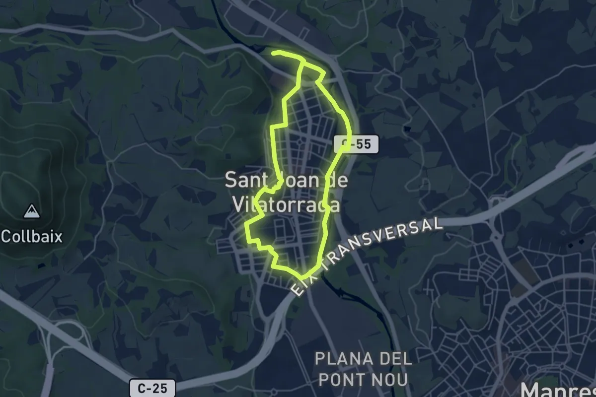
Easy · Trail
Rutes d'aigua i secà 6: Retalls d'història a l'espai urbà
4.8 km · ↑ 31 m · 1 h 16 min · 2 km away
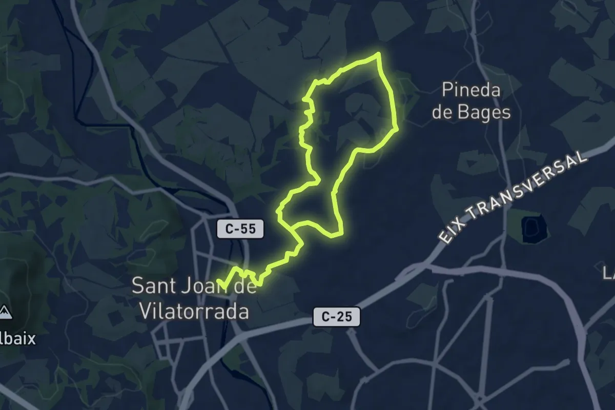
Medium · Trail
Rutes d'aigua i secà 5: Per terres de regadiu i secà
14.2 km · ↑ 190 m · 3 h 46 min · 2 km away
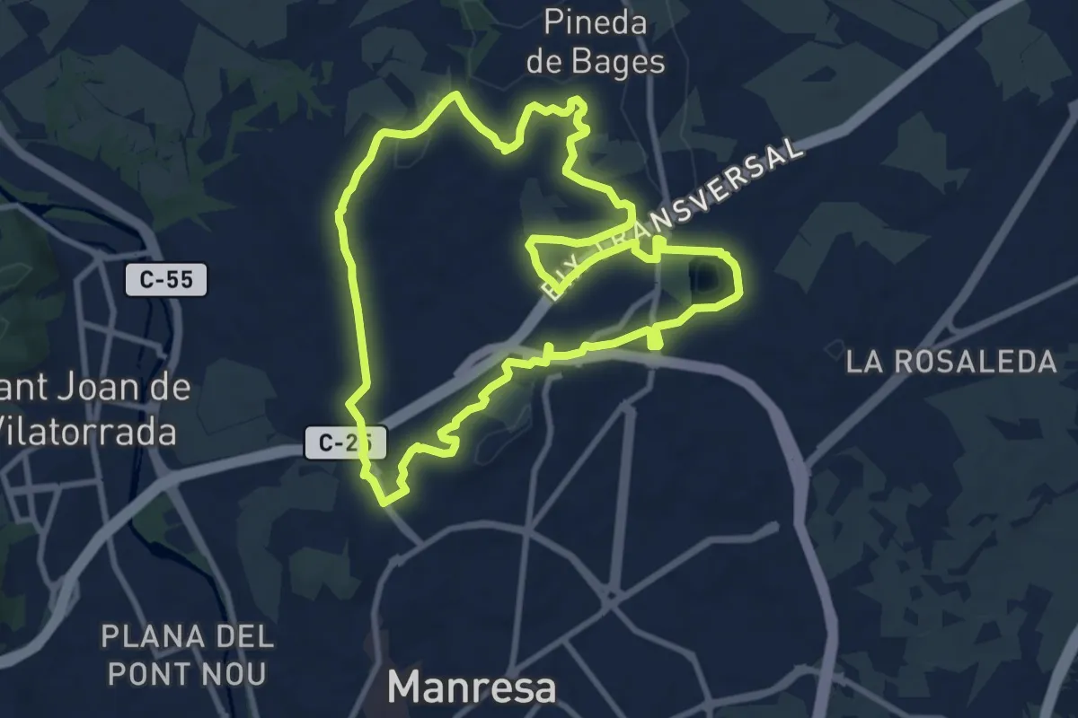
Medium · Trail
M7 - Itinerari El regadiu del Poal
10.0 km · ↑ 115 m · 2 h 45 min · 3 km away
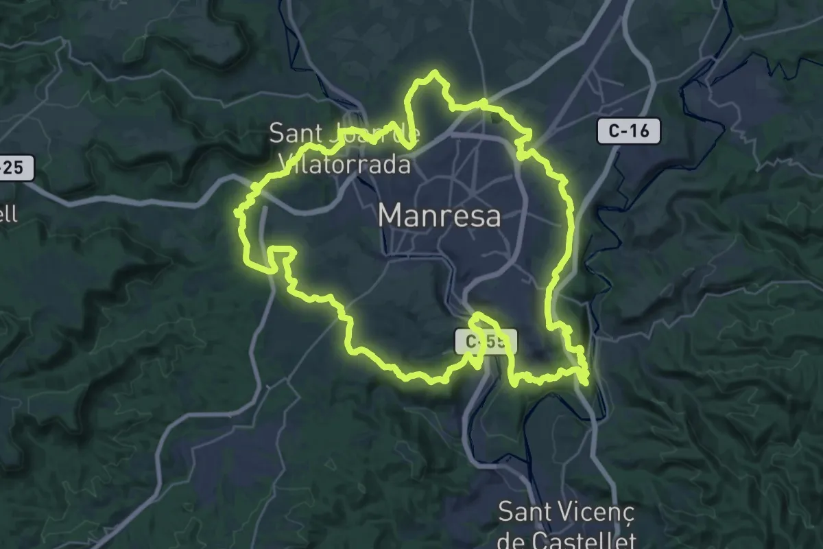
Demanding · Summit
Sender de Manresa
36.0 km · ↑ 707 m · 10 h 32 min · 3 km away
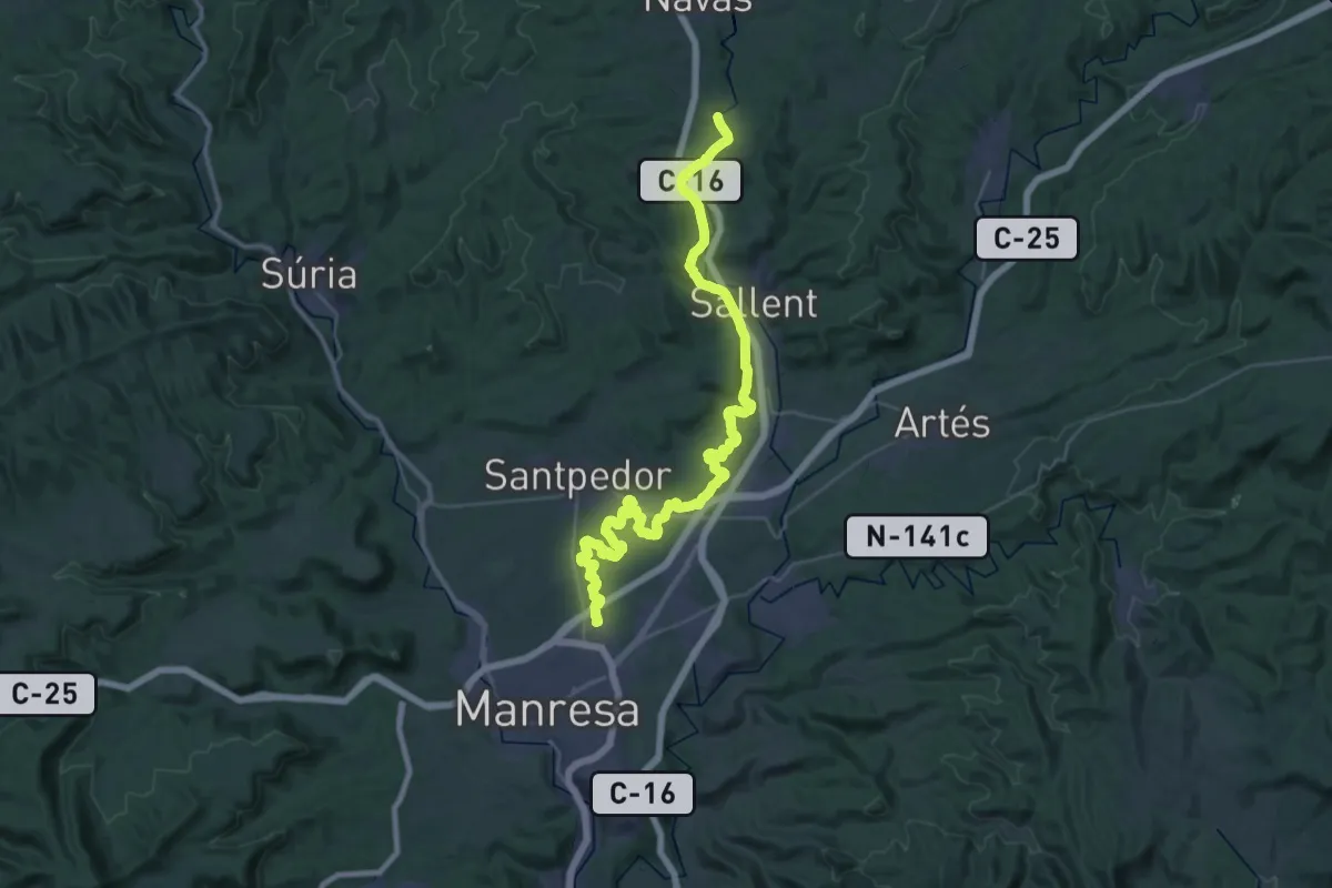
Demanding · Trail
Camí Natural de la Sèquia
24.6 km · ↑ 189 m · 6 h 33 min · 3 km away
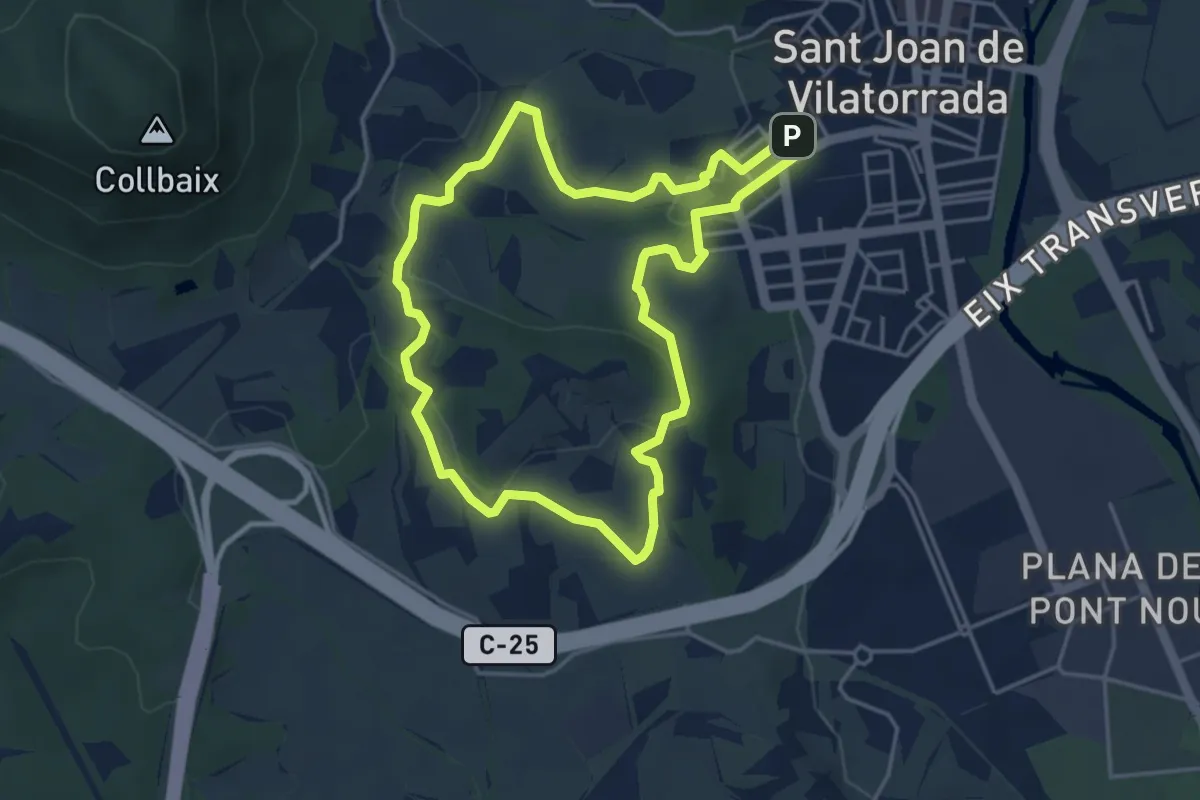
Easy · Trail
Rutes d'aigua i secà 1: Testimonis de la vinya
4.5 km · ↑ 86 m · 1 h 18 min · 3 km away
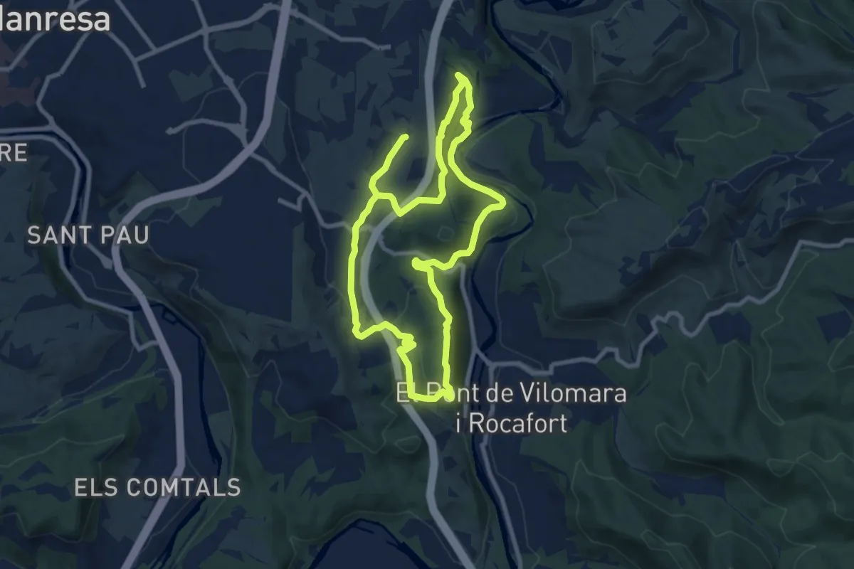
Medium · Summit
M5 - Itinerari Els cingles del Llobregat
8.5 km · ↑ 323 m · 2 h 49 min · 3 km away
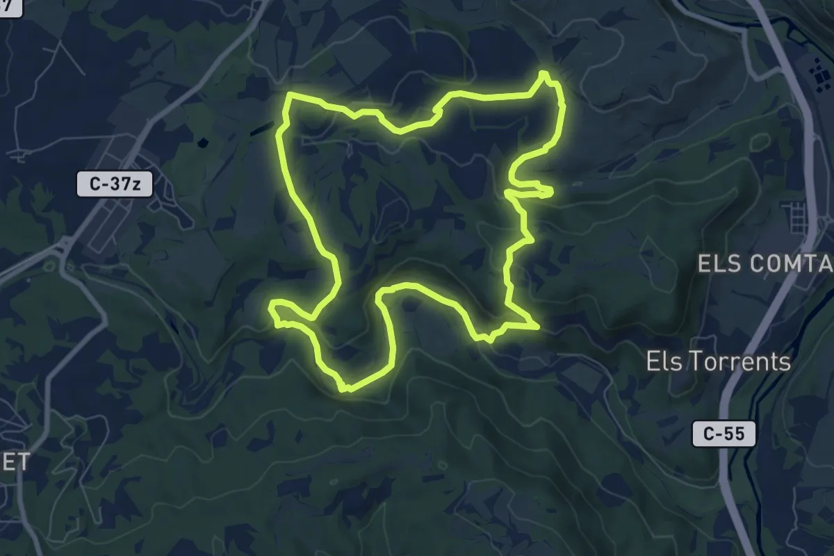
Medium · Trail
M3 - Itinerari Els pous de glaç i la riera de Guardiola
8.6 km · ↑ 219 m · 2 h 38 min · 3 km away
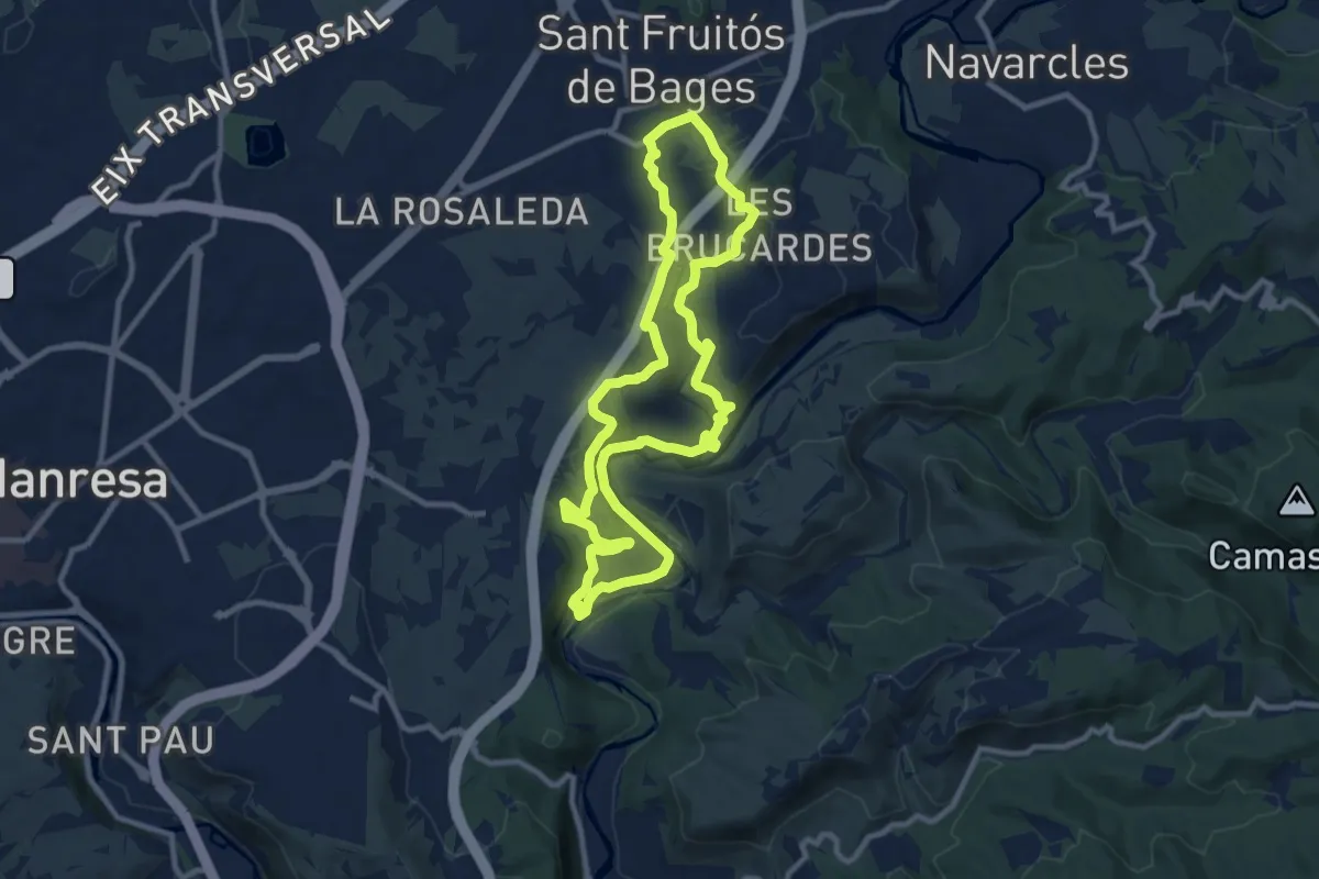
Medium · Trail
Anella Verda SFB3 - Els Tres Salts, el torrent de Viladordis i la vall del riu d’Or
10.5 km · ↑ 279 m · 3 h 14 min · 4 km away
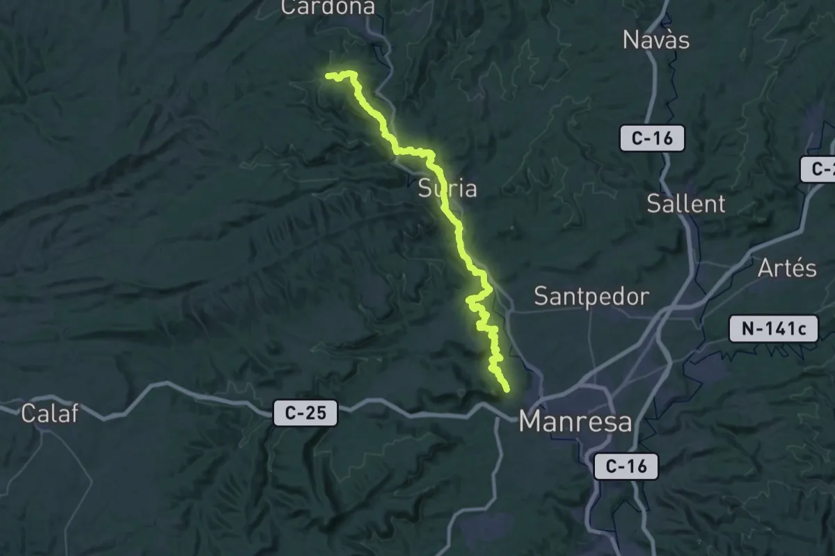
Demanding · Trail
Camí de la Sal (variant GR3)
27.6 km · ↑ 757 m · 8 h 26 min · 4 km away
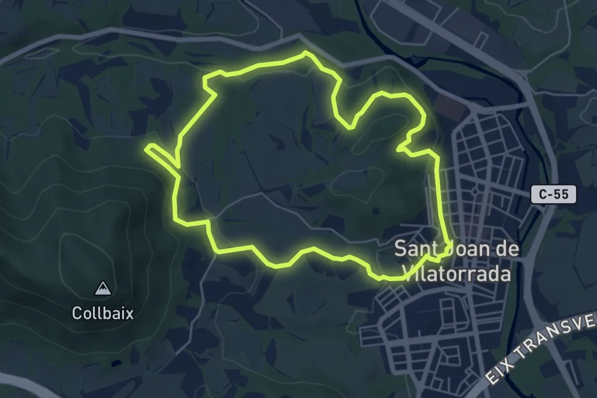
Easy · Trail
Rutes d'aigua i secà 2: Obaga de Collbaix i Riera de Fonollosa
5.7 km · ↑ 156 m · 1 h 46 min · 4 km away
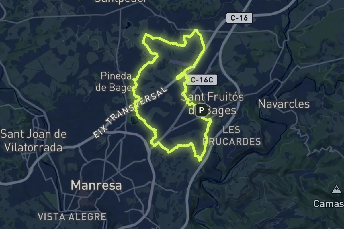
Medium · Trail
Anella Verda SFB5 - Parc de l’Agulla, séquia de Manresa, Sant Iscle i plans de Santa Anna
16.2 km · ↑ 124 m · 4 h 19 min · 4 km away
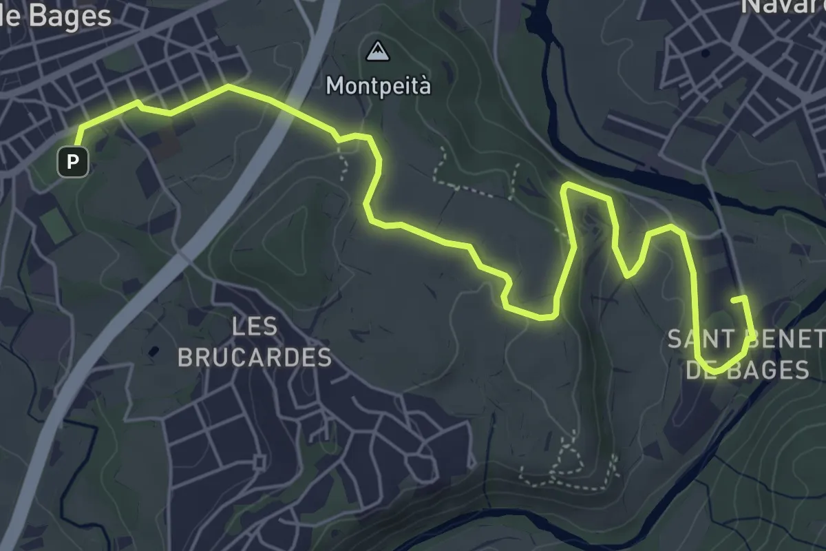
Easy · Trail
Camí paisatgístic Sant Fruitós - Sant Benet
8.0 km · ↑ 173 m · 2 h 15 min · 4 km away
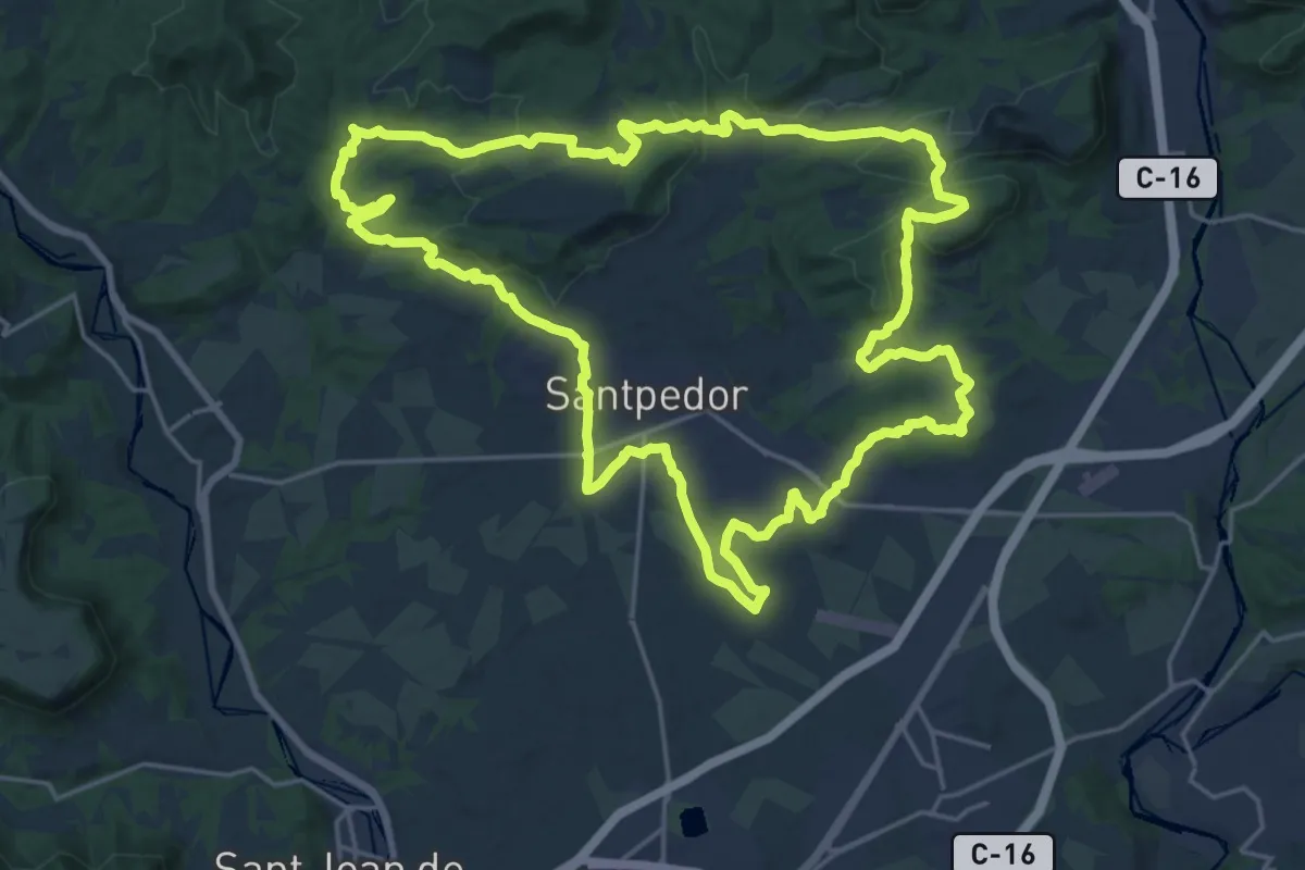
Demanding · Summit
Santpedor Circular
24.8 km · ↑ 441 m · 7 h 10 min · 5 km away
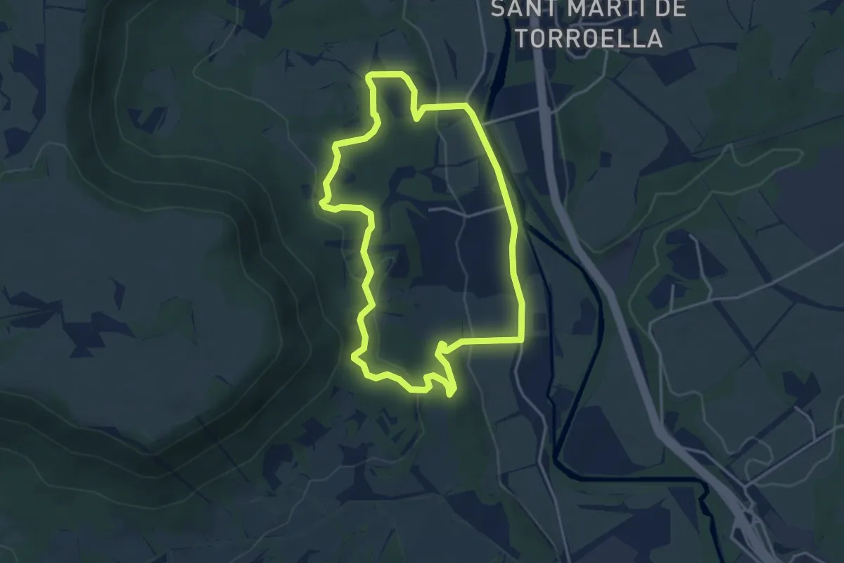
Easy · Trail
Rutes d'aigua i secà 3: Els antics molins del Cardener
4.0 km · ↑ 108 m · 1 h 14 min · 6 km away
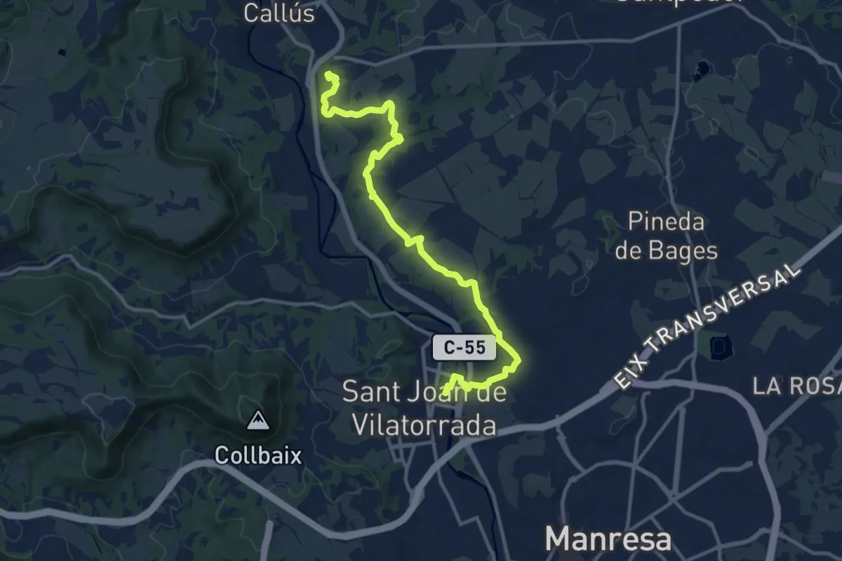
Medium · Trail
Rutes d'aigua i secà 4: Els testimònis històrics del romànic a la Guerra Civil
14.0 km · ↑ 169 m · 3 h 41 min · 6 km away
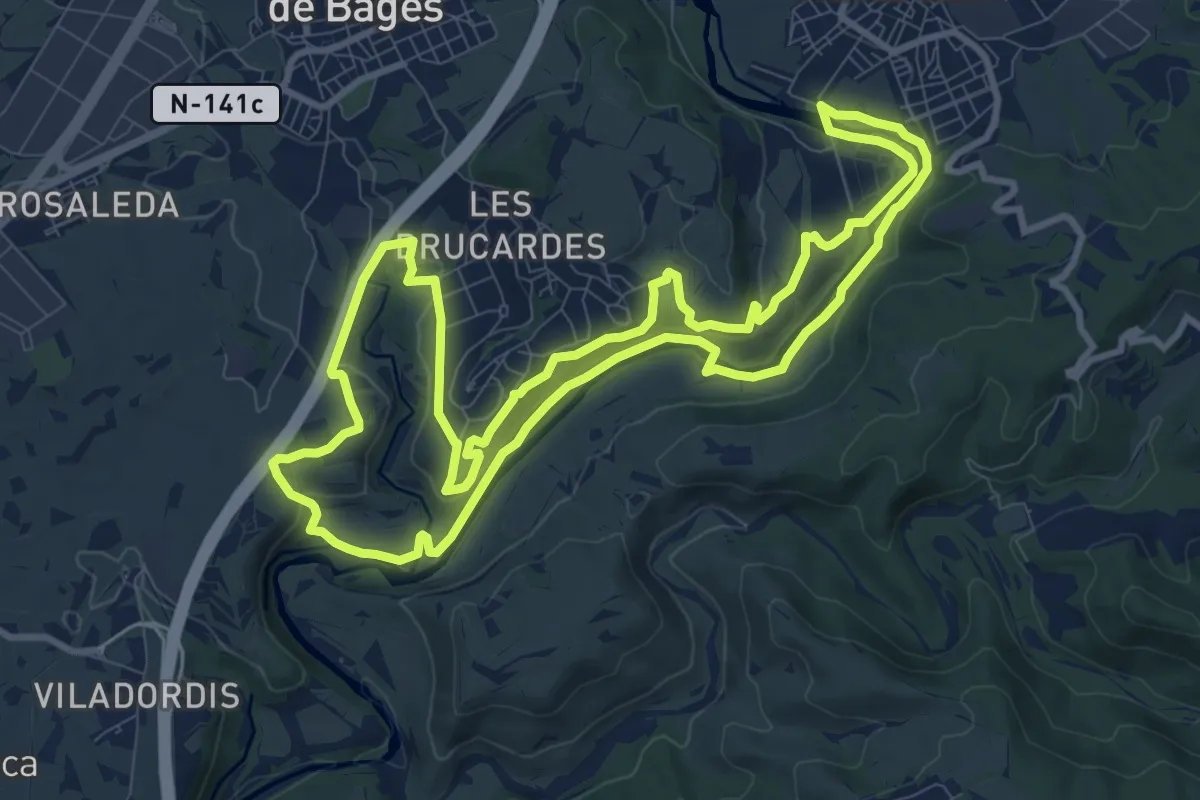
Medium · Trail
Anella Verda SFB1 - Pintures rupestres de les Brucardes, la Tolega i Sant Benet de Bages
11.6 km · ↑ 253 m · 3 h 27 min · 6 km away
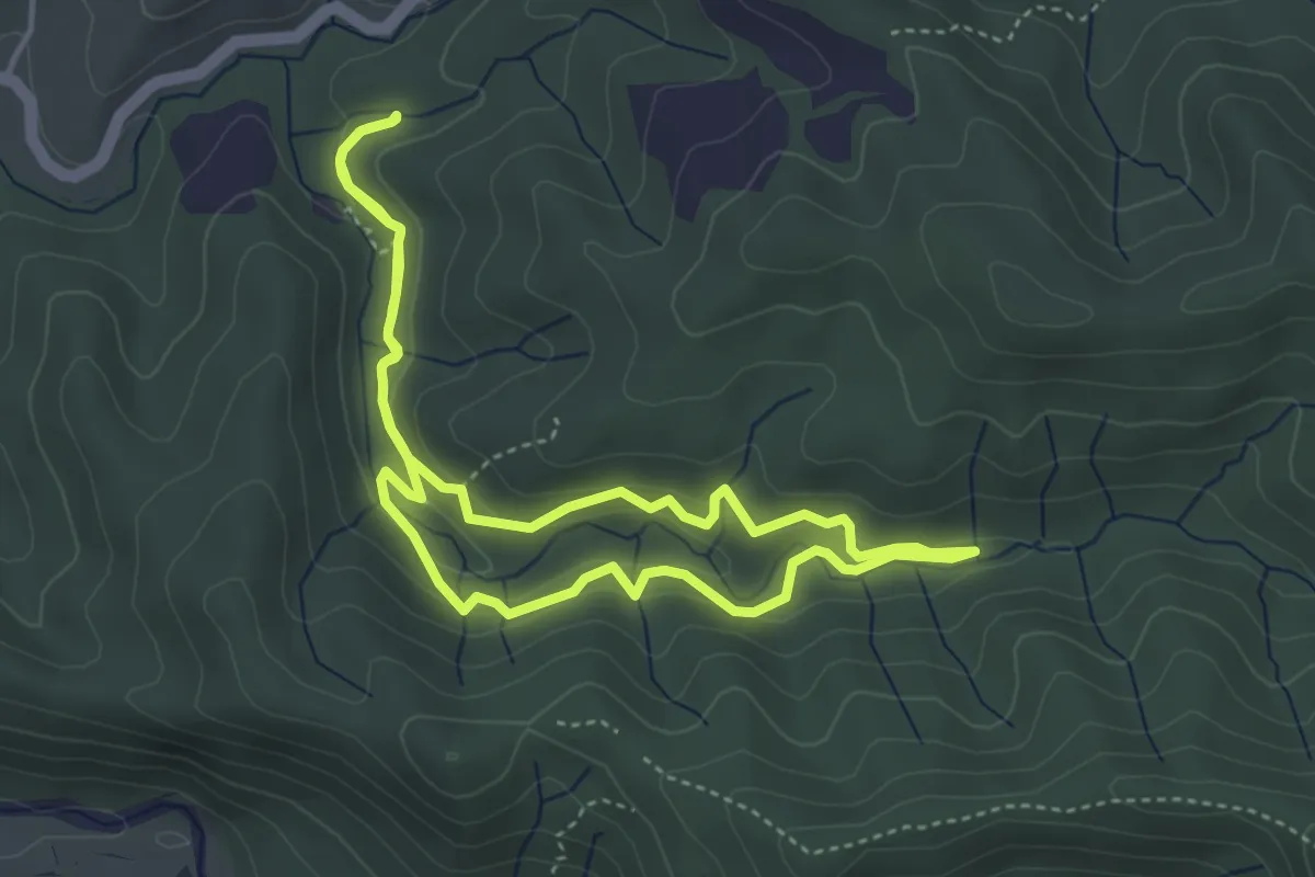
Easy · Trail
Les tines de la vall del Flequer
4.3 km · ↑ 156 m · 1 h 25 min · 6 km away
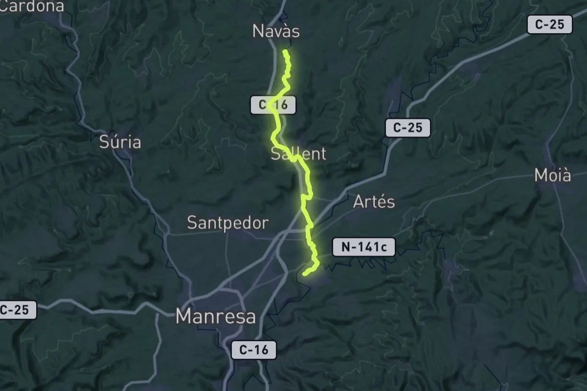
Demanding · Summit
GR 270 Camí del Llobregat - Etapa 5
40.6 km · ↑ 619 m · 10 h 55 min · 7 km away
Demanding · Trail
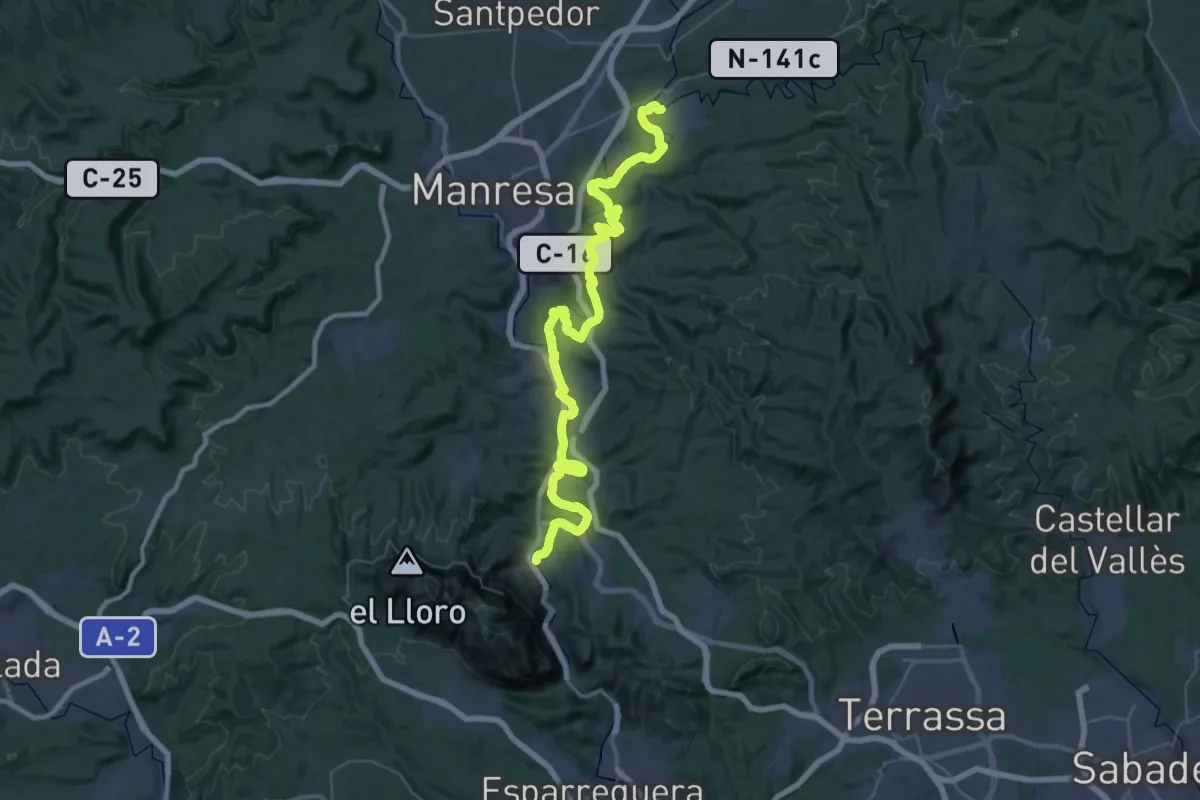
GR 270 Camí del Llobregat - Etapa 6
31.0 km · ↑ 562 m · 9 h 2 min · 7 km away
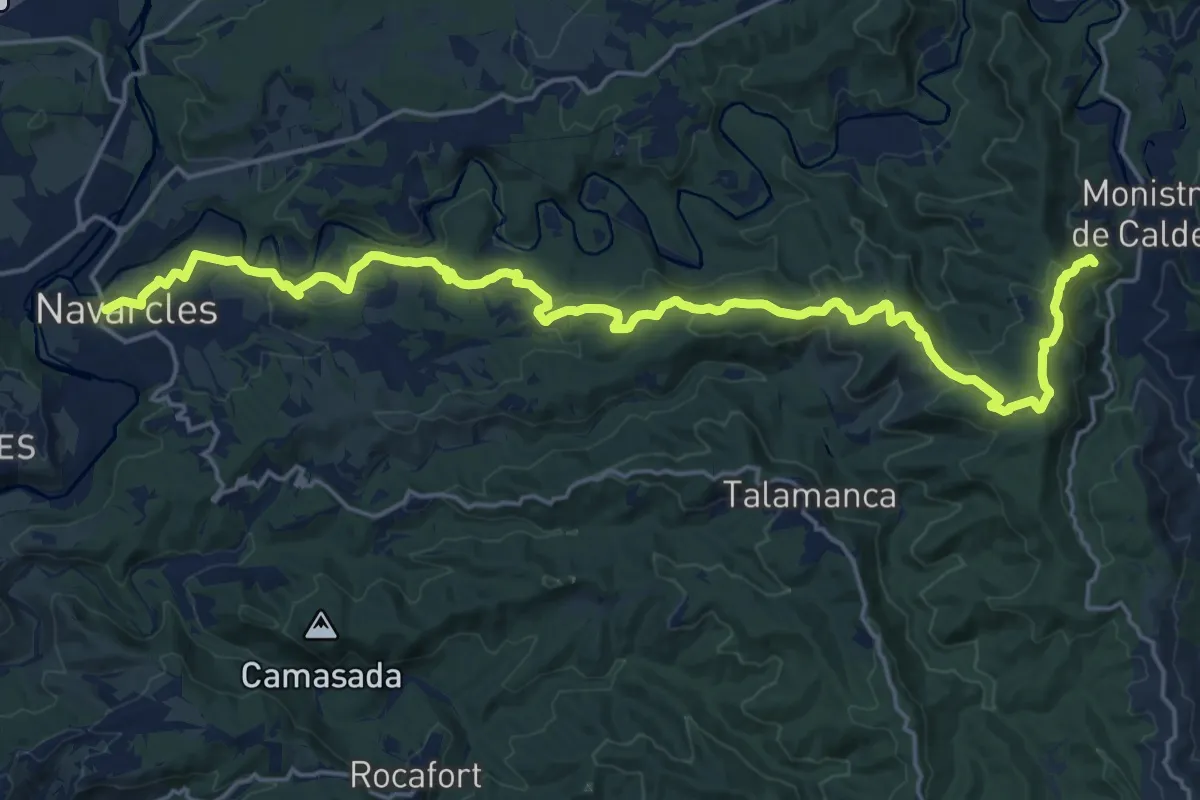
Demanding · Summit
GR 3 Sender Central de Catalunya - Etapa 37
26.0 km · ↑ 768 m · 7 h 48 min · 7 km away
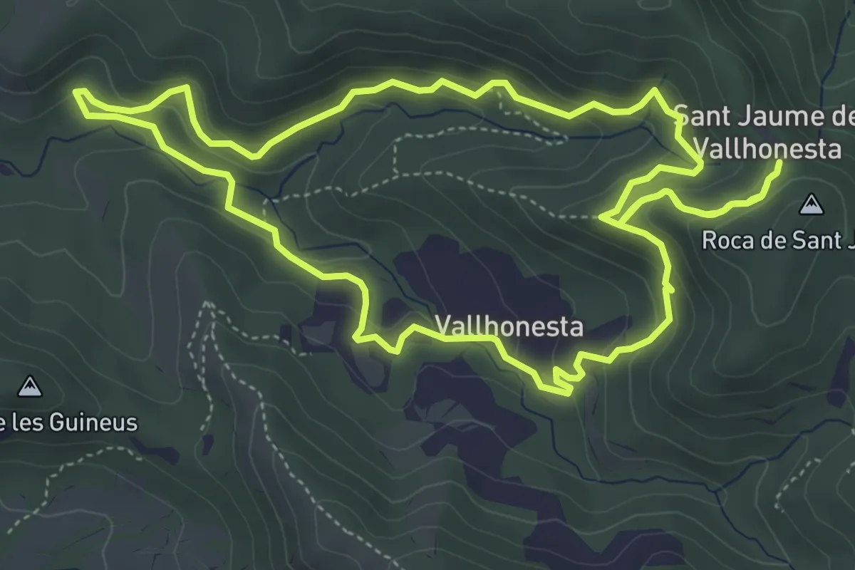
Medium · Summit
A Sant Jaume de Vallhonesta pel camí dels Maquis
5.8 km · ↑ 379 m · 2 h 16 min · 7 km away
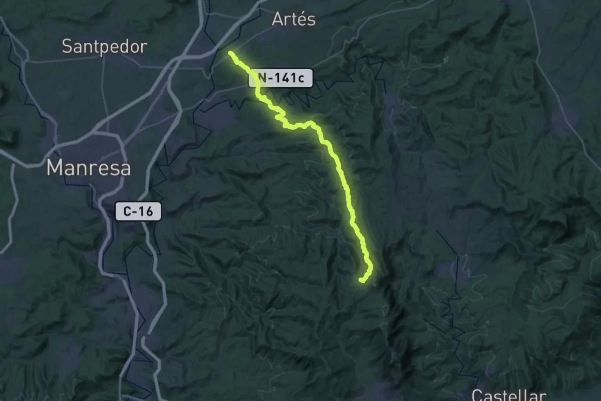
Demanding · Summit
Camí Ral de Barcelona a Berga
35.7 km · ↑ 1165 m · 10 h 58 min · 9 km away
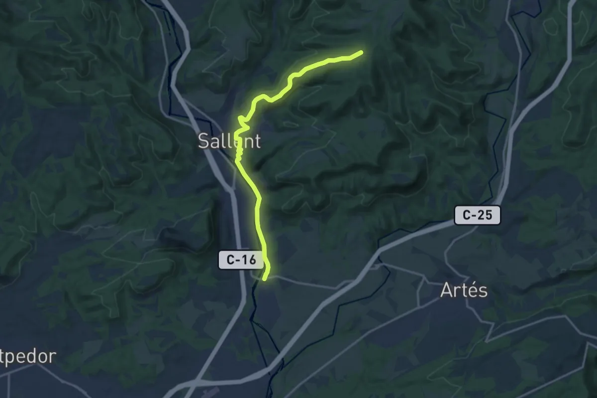
Medium · Trail
Puigcerdà-Montserrat. Variant Cabrianes
14.7 km · ↑ 326 m · 4 h 11 min · 10 km away
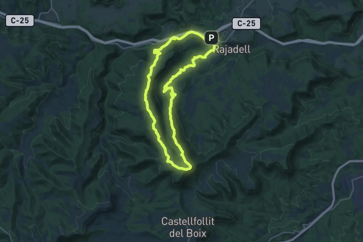
Demanding · Summit
De Rajadell al Cogulló de la Torre circular
18.3 km · ↑ 567 m · 5 h 49 min · 11 km away
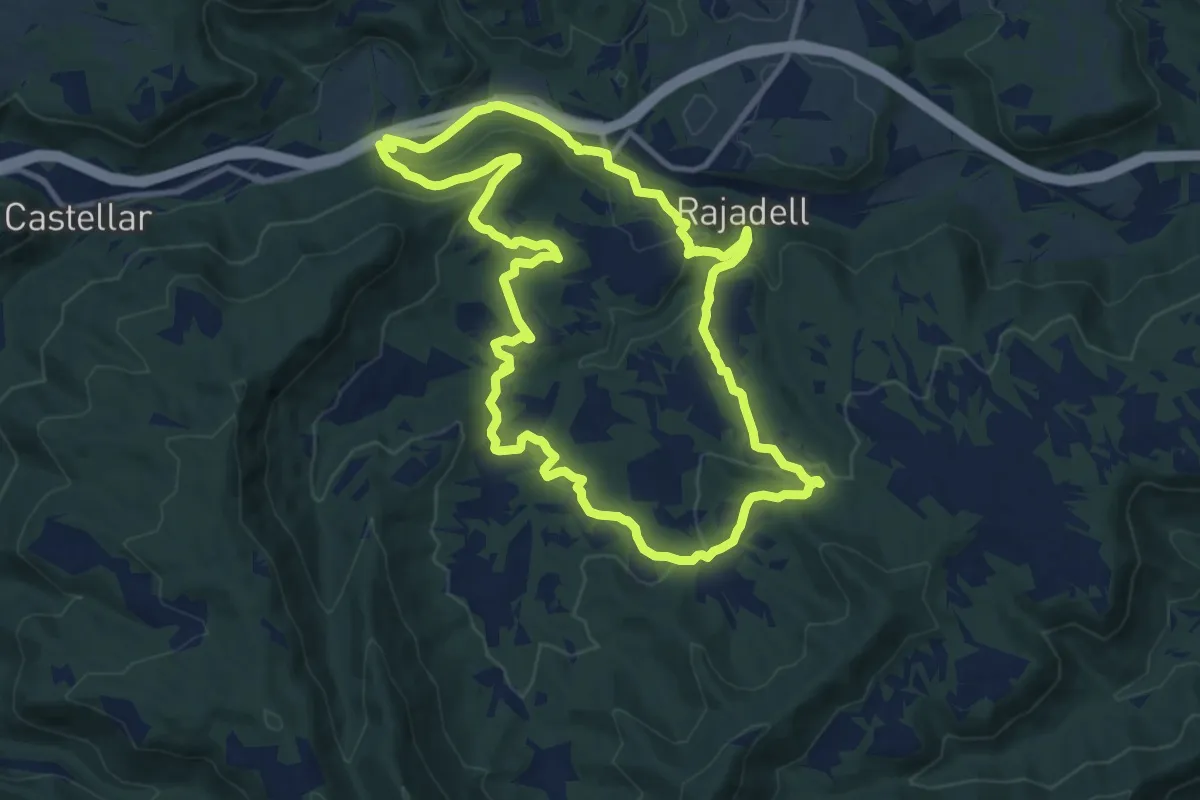
Medium · Summit
Rajadell circular
12.7 km · ↑ 317 m · 3 h 52 min · 11 km away
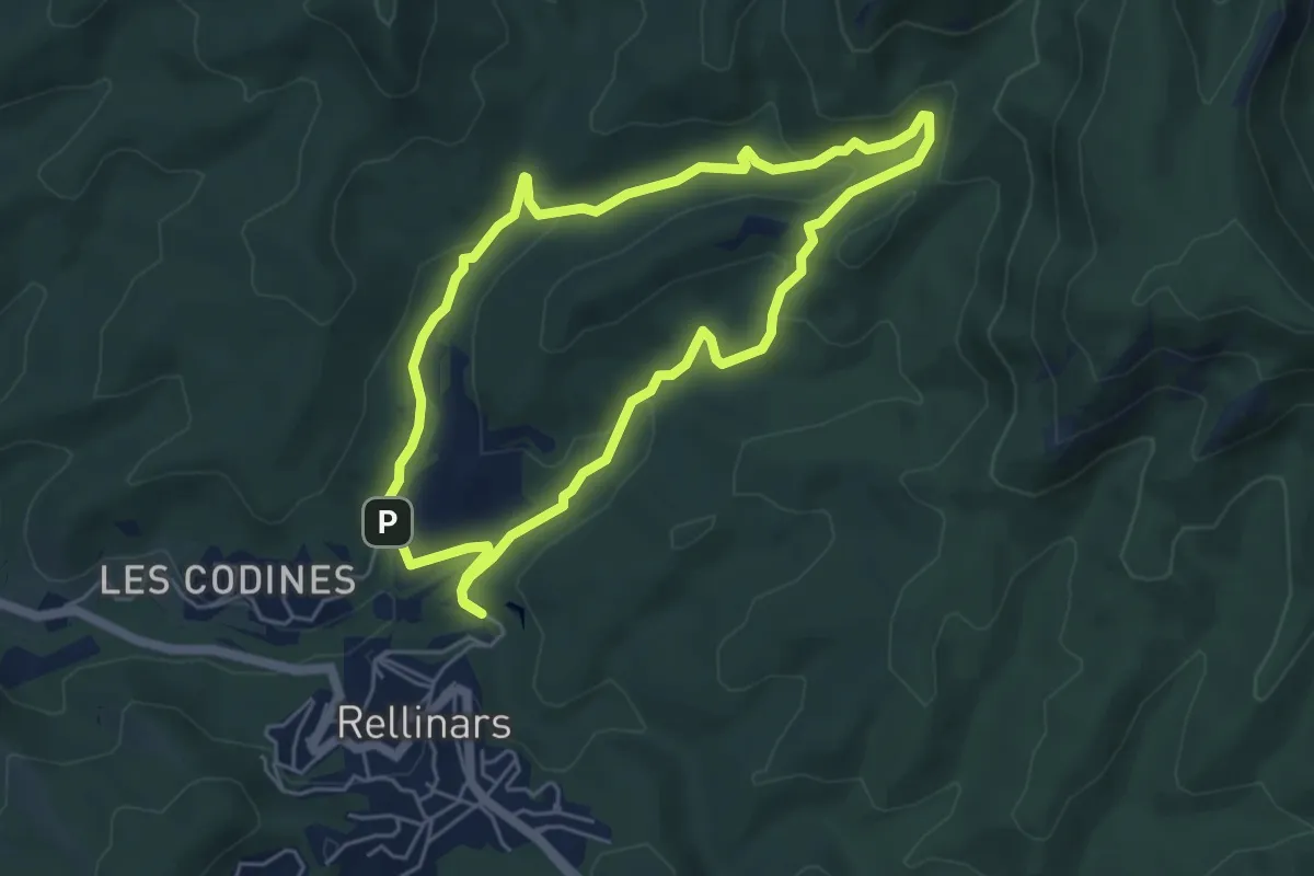
Medium · Trail
La pedra seca
5.3 km · ↑ 128 m · 1 h 36 min · 12 km away
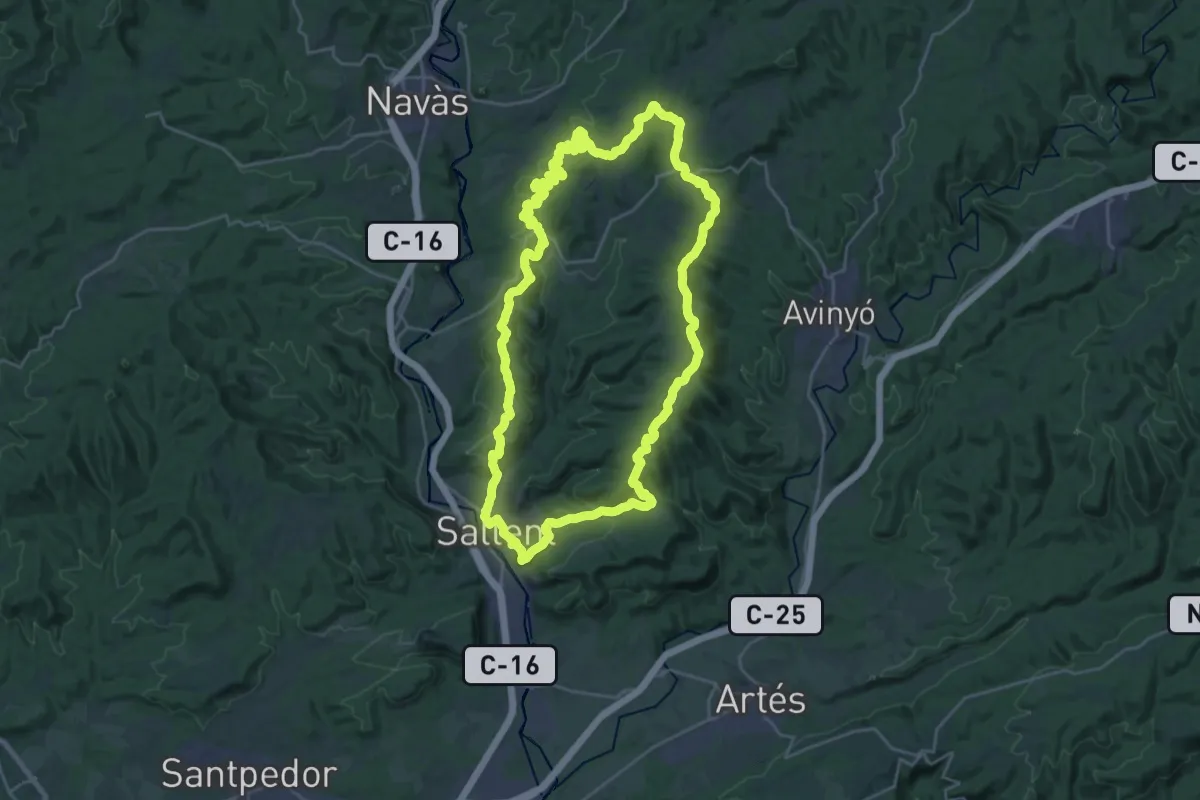
Demanding · Summit
Sender de Sallent
27.9 km · ↑ 726 m · 8 h 32 min · 12 km away
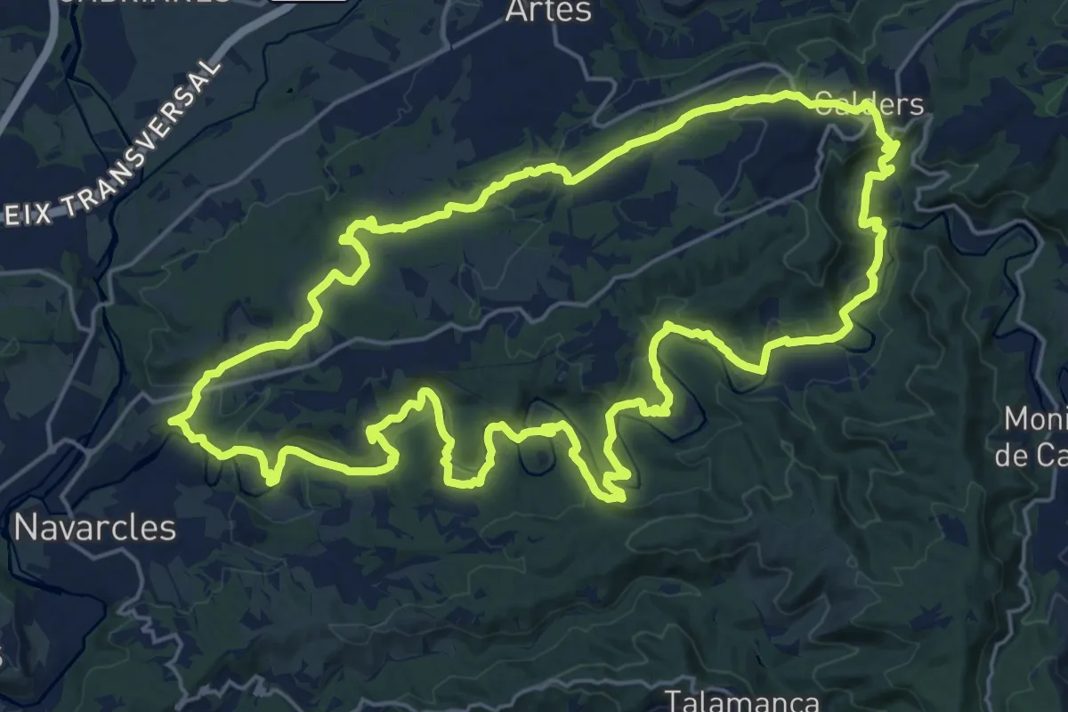
Demanding · Summit
Sender del Riu Calders
25.2 km · ↑ 655 m · 7 h 43 min · 12 km away
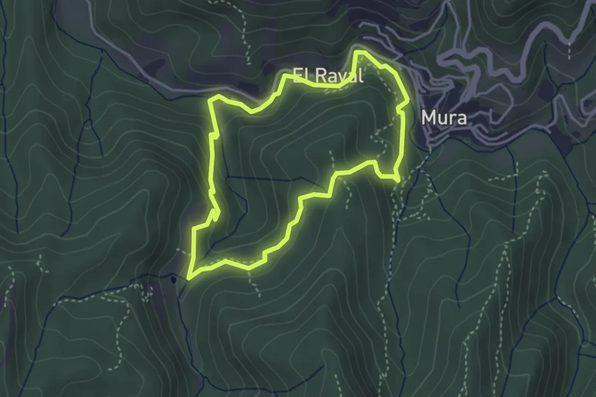
Medium · Summit
Balmes, masies i molins
3.5 km · ↑ 170 m · 1 h 15 min · 12 km away
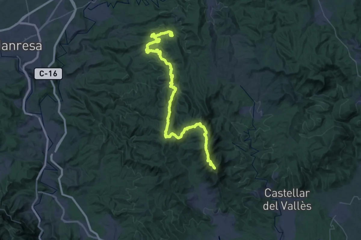
Demanding · Summit
Senders del 1714 - Etapa 03
50.1 km · ↑ 1940 m · 16 h 2 min · 12 km away
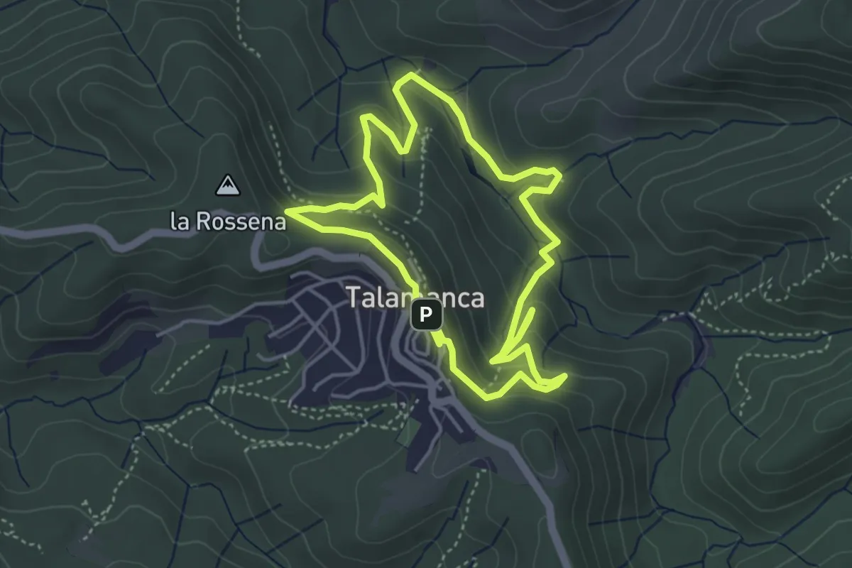
Medium · Trail
La Riera de Talamanca
4.3 km · ↑ 236 m · 1 h 36 min · 12 km away
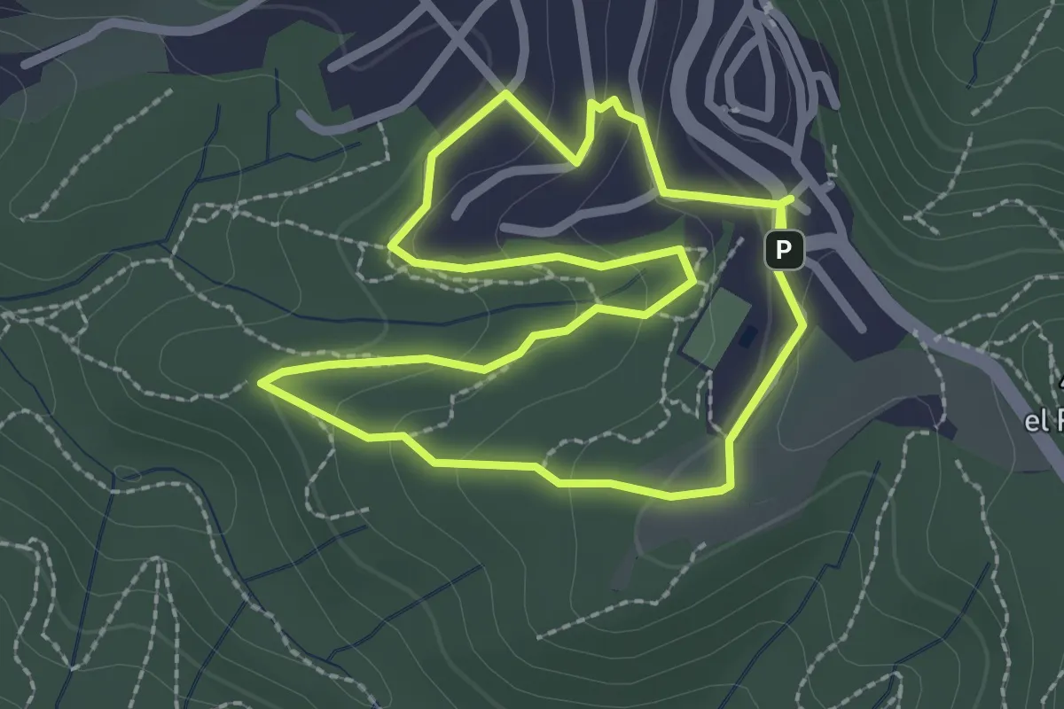
Easy · Trail
La Fot del Janet
2.5 km · ↑ 94 m · 49 min · 12 km away
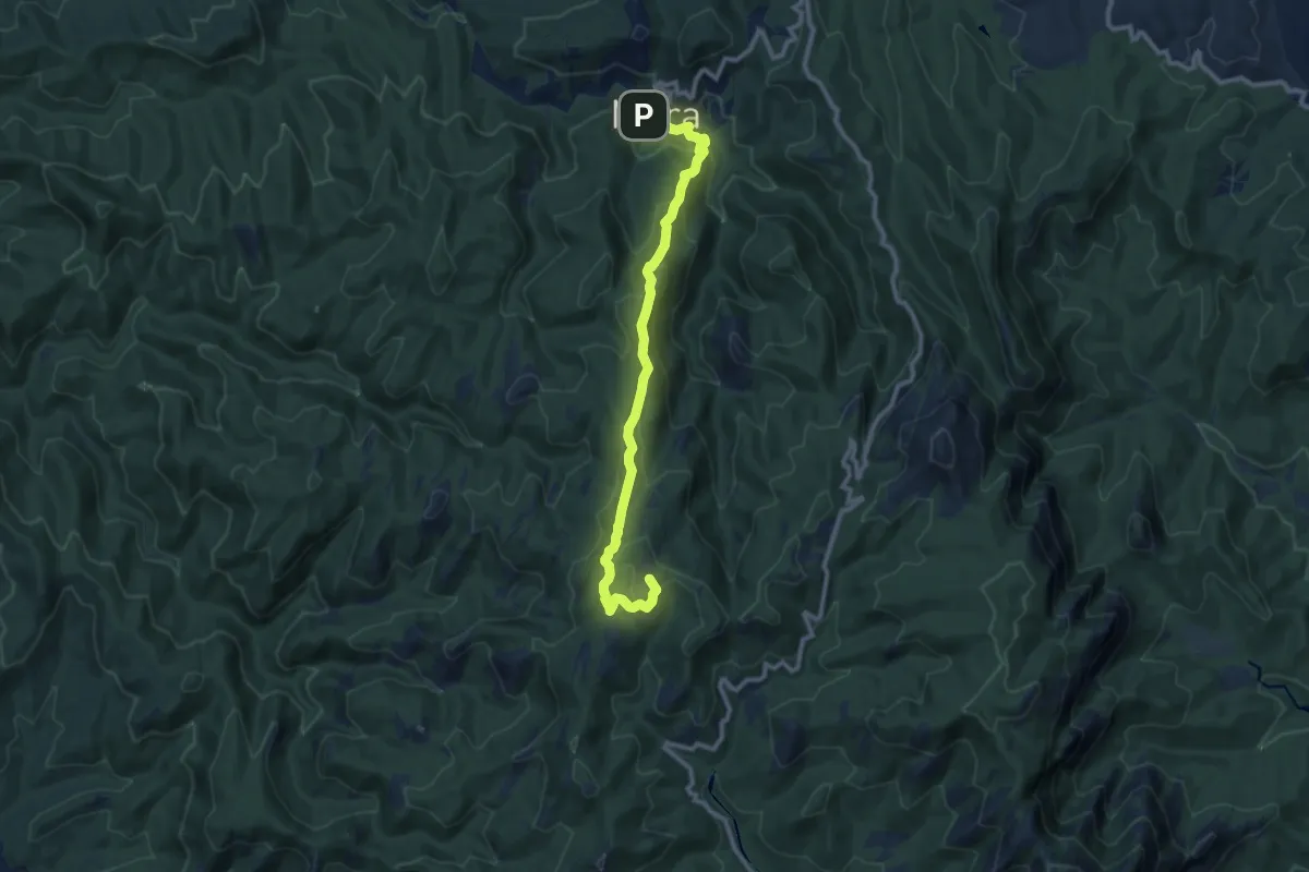
Medium · Summit
Del Coll d'Estenalles a Mura
11.6 km · ↑ 546 m · 3 h 55 min · 13 km away
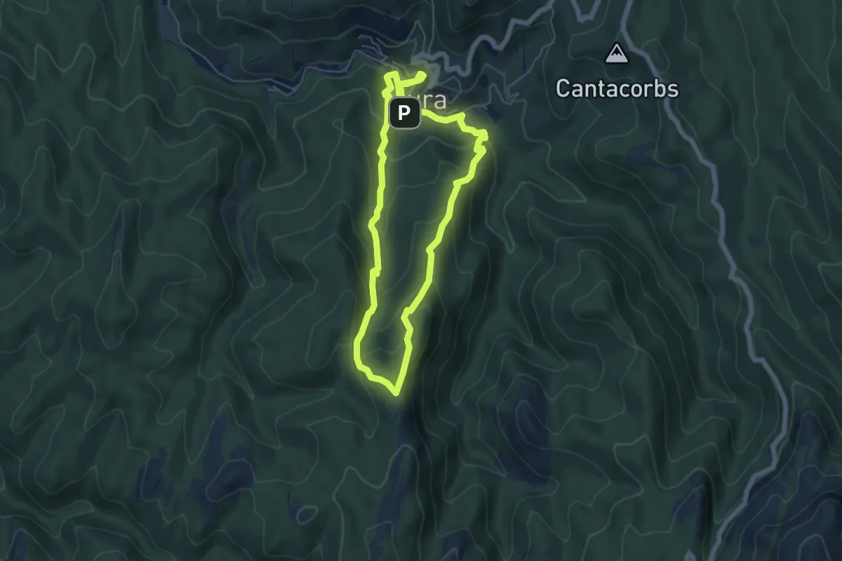
Medium · Summit
Cova de Mura
5.6 km · ↑ 333 m · 2 h 7 min · 13 km away
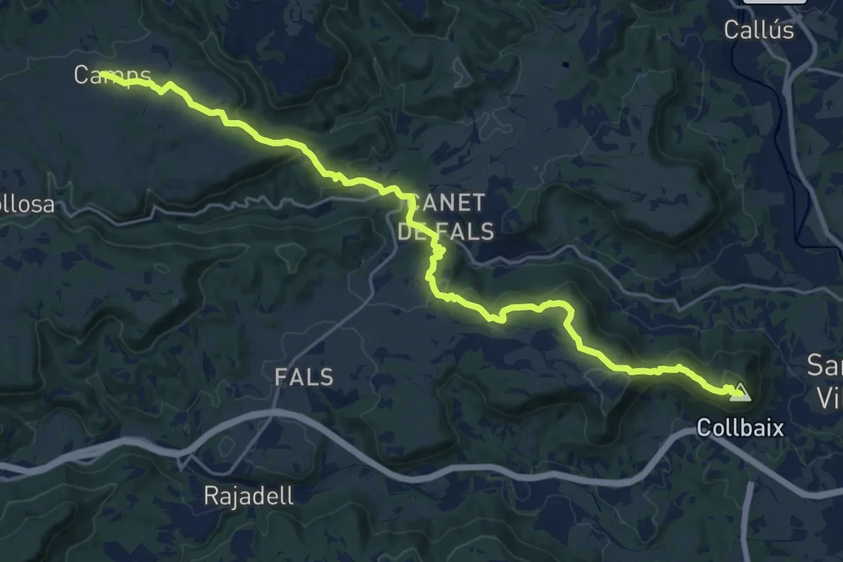
Demanding · Summit
GR 3 Sender Central de Catalunya - Etapa 39
23.1 km · ↑ 653 m · 6 h 53 min · 13 km away
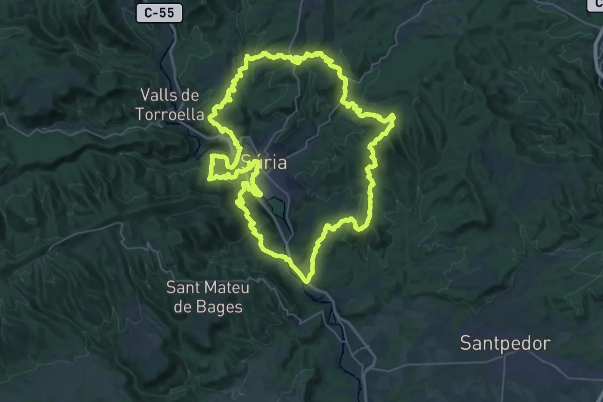
Demanding · Summit
Sender de Súria
31.0 km · ↑ 1103 m · 10 h 8 min · 13 km away
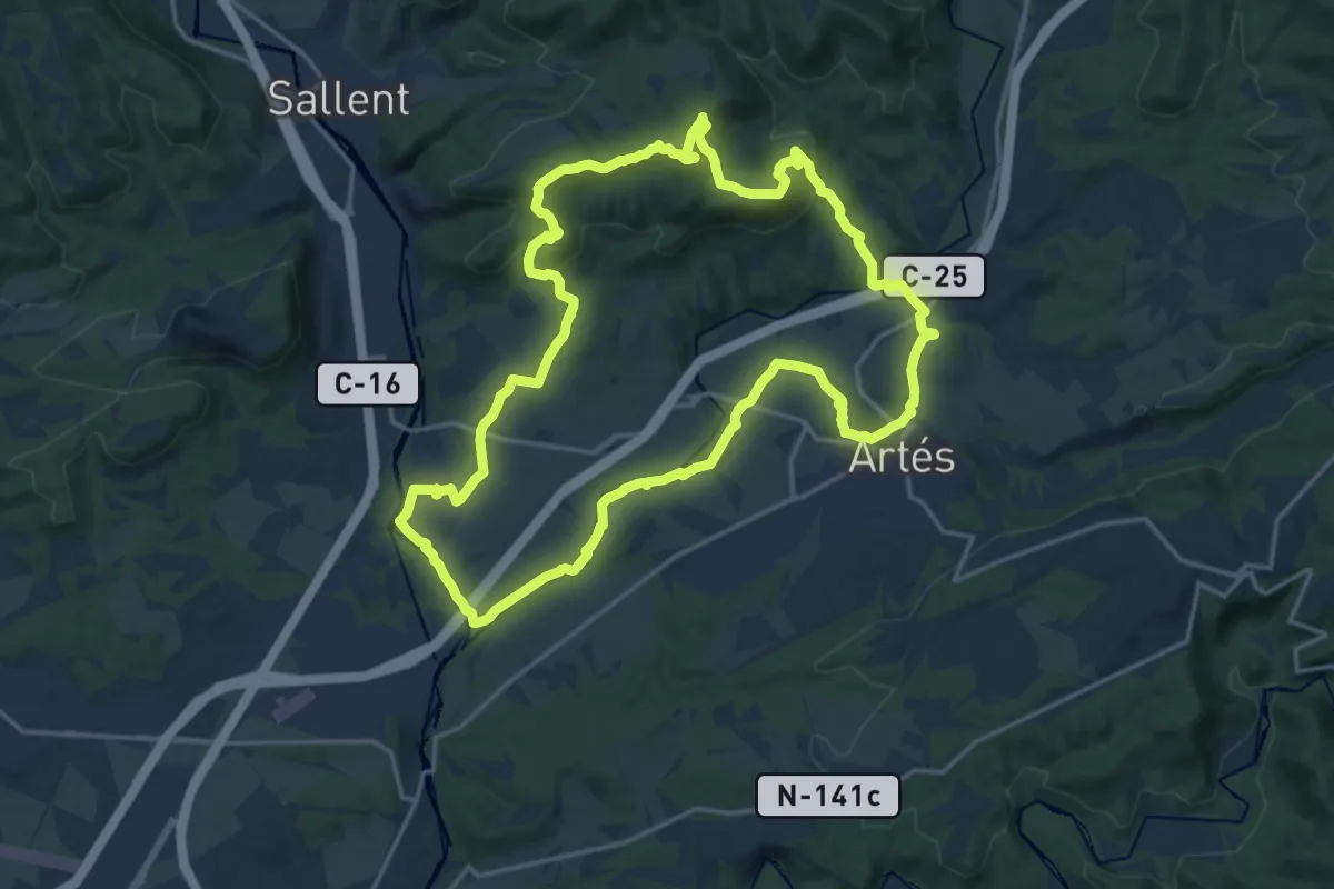
Demanding · Summit
Sender de la Gavarra
18.7 km · ↑ 503 m · 5 h 46 min · 13 km away
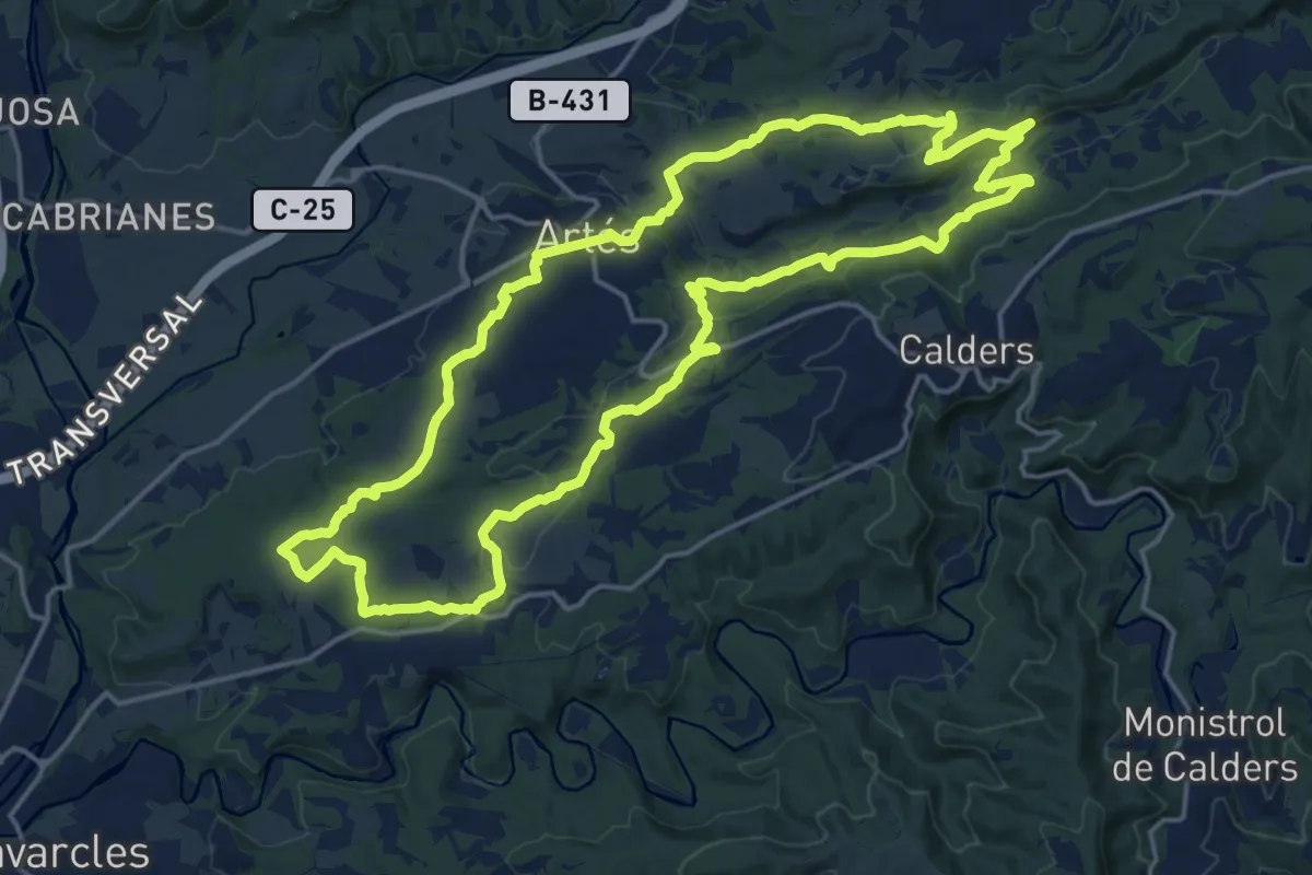
Demanding · Summit
Sender d'Artés
20.0 km · ↑ 424 m · 5 h 56 min · 14 km away