Trails near Montblanc
30 hikes starting within 15 km, nearest first.
Nearest first
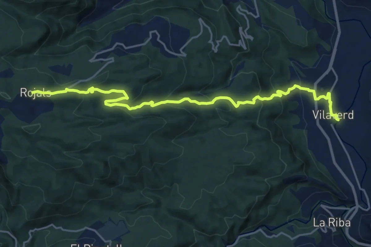
Medium · Trail
Vilaverd-Rojals
16.2 km · ↑ 780 m · 5 h 31 min · 5 km away
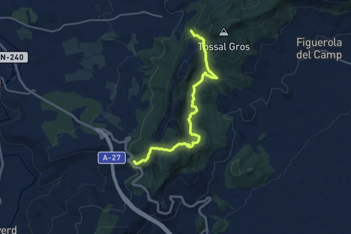
Medium · Trail
Variant GR 7: Conca de Barberà
11.5 km · ↑ 618 m · 4 h 3 min · 5 km away
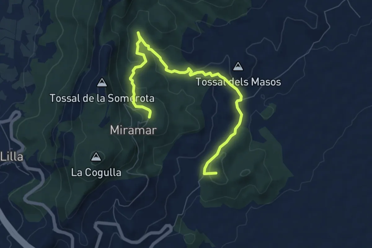
Medium · Summit
Serra de Miramar
8.9 km · ↑ 274 m · 2 h 42 min · 6 km away
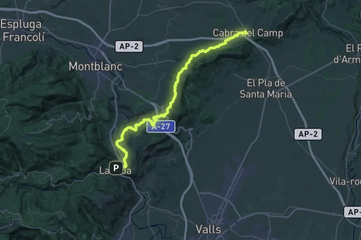
Medium · Trail
GR 7 Catalunya - Etapa 14
17.3 km · ↑ 491 m · 5 h 17 min · 7 km away
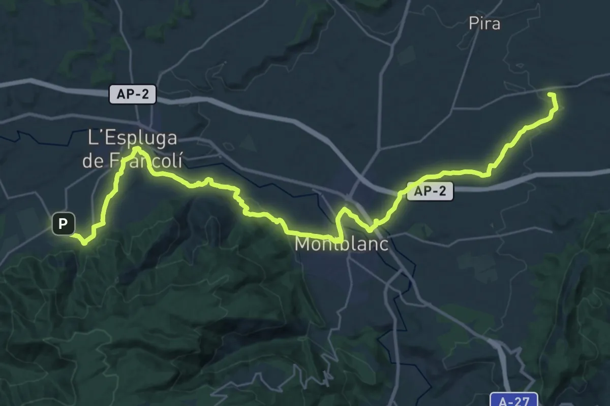
Demanding · Summit
Camí de Sant Jaume de Tarragona a Lleida - Etapa 4
18.8 km · ↑ 204 m · 5 h 12 min · 7 km away
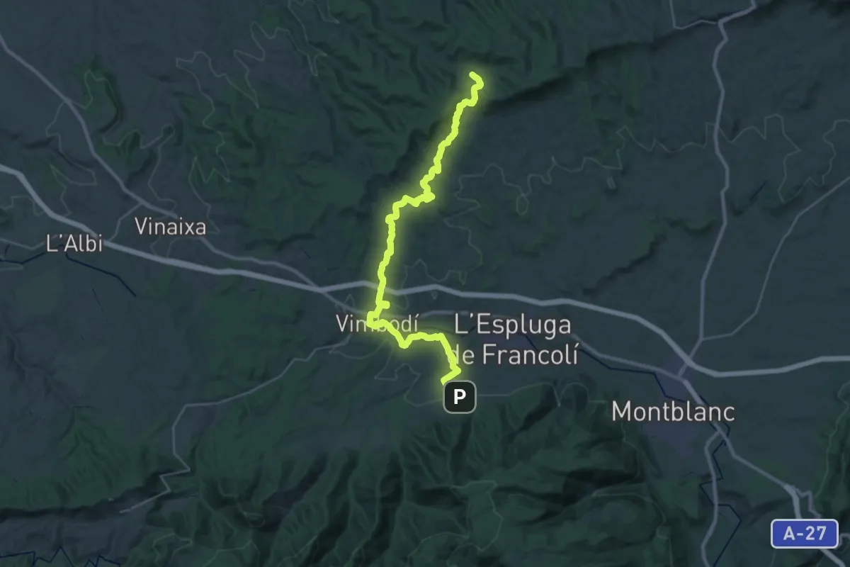
Medium · Summit
Camí de Sant Jaume de Tarragona a Lleida - Etapa 5
17.3 km · ↑ 416 m · 5 h 9 min · 7 km away
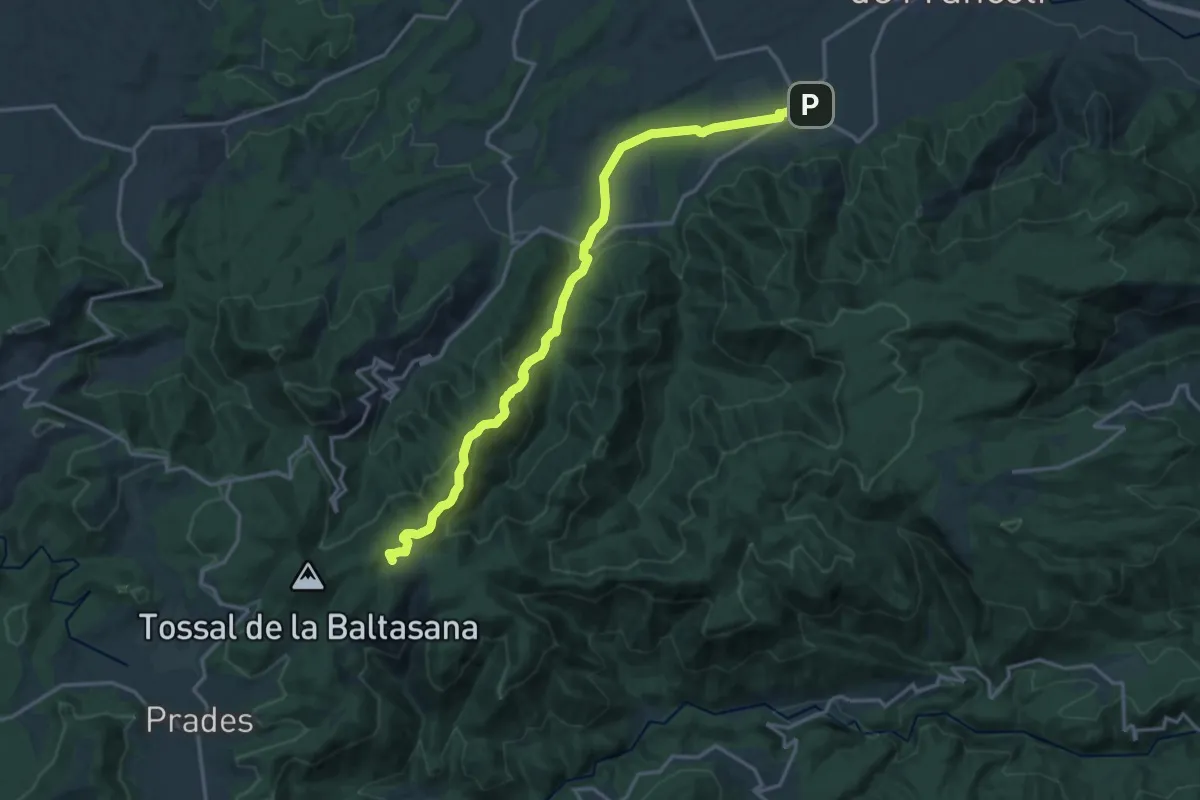
Demanding · Summit
Camí ramader del Monestir de Poblet a Prades
19.1 km · ↑ 707 m · 6 h 3 min · 7 km away
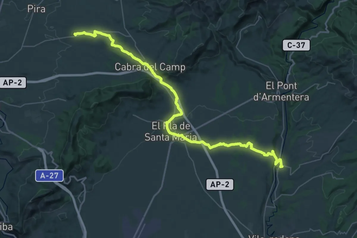
Demanding · Pilgrim path
Camí de Sant Jaume de Tarragona a Lleida - Etapa 3
19.3 km · ↑ 128 m · 5 h 10 min · 7 km away
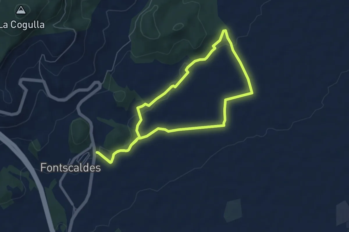
Easy · Trail
Itinerari de Salut: Fontscaldes - Torre de la Mixarda/Pont del Diable
5.7 km · ↑ 73 m · 1 h 34 min · 8 km away
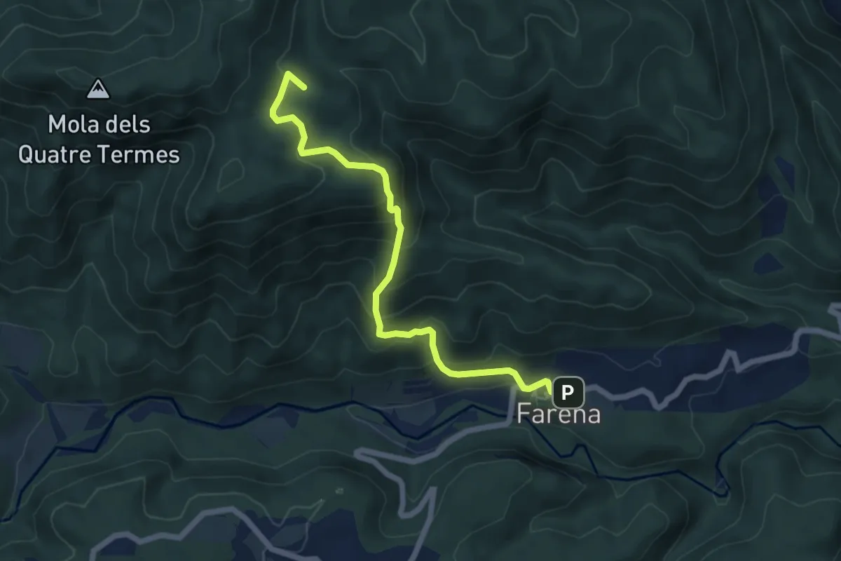
Medium · Summit
Variant Els Cogullons - Farena
6.4 km · ↑ 440 m · 2 h 27 min · 10 km away
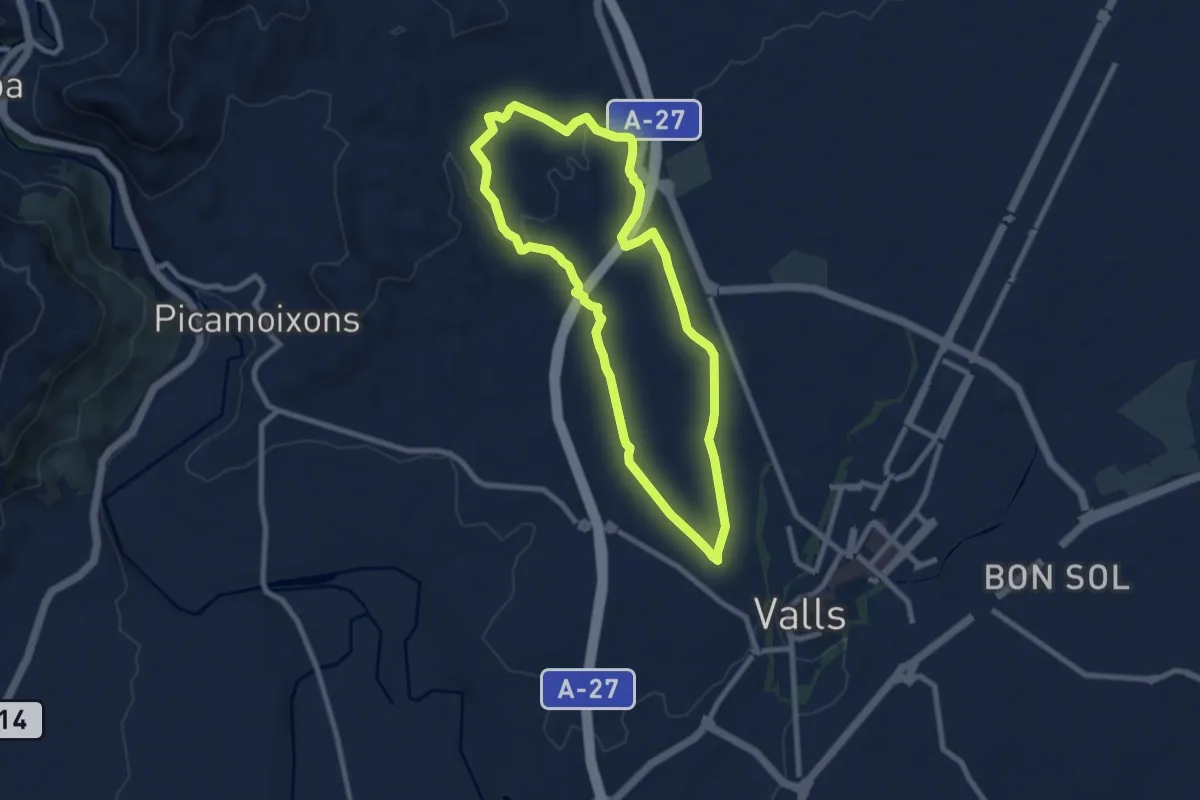
Medium · Trail
Els Boscos de Valls
8.7 km · ↑ 122 m · 2 h 26 min · 10 km away
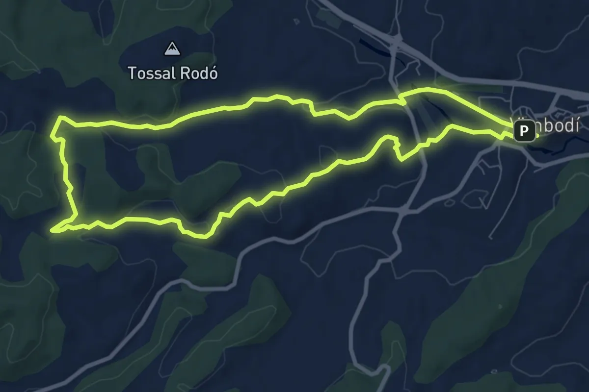
Medium · Summit
El Pinar dels diumenges
8.7 km · ↑ 150 m · 2 h 30 min · 10 km away
Medium · Trail
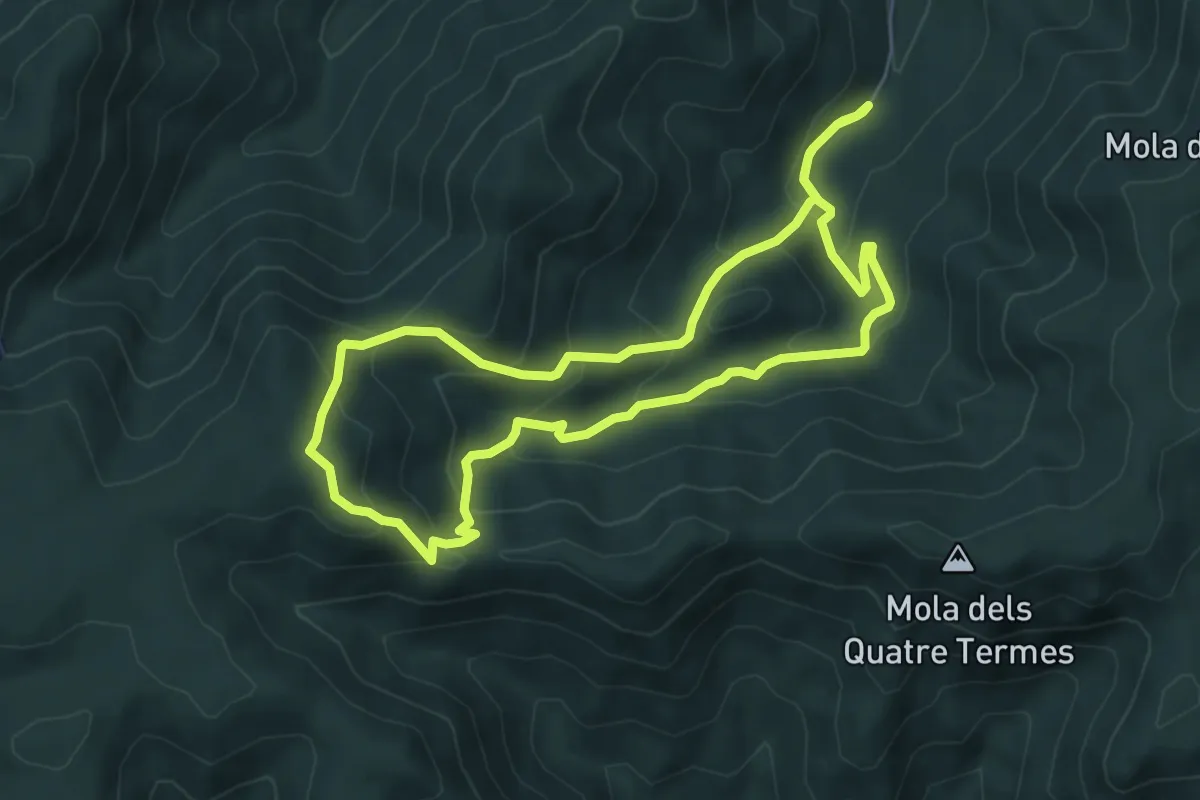
Itinerari micològic de Castellfolit
6.1 km · ↑ 369 m · 2 h 19 min · 10 km away
Demanding · Summit
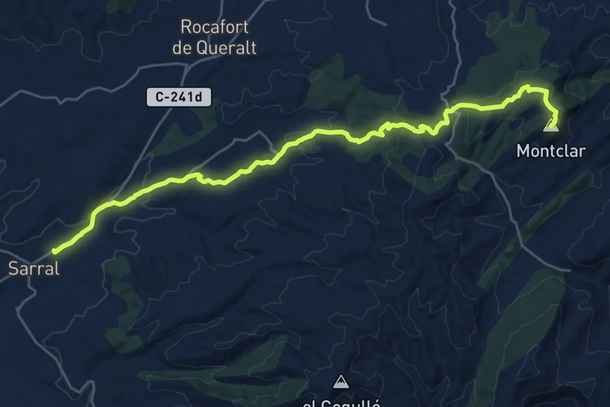
Pontils - Sarral
21.2 km · ↑ 565 m · 6 h 13 min · 11 km away
Demanding · Summit
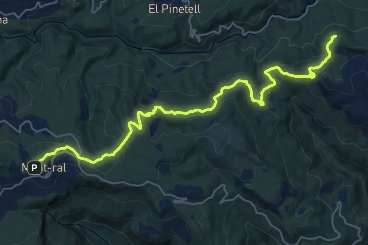
GR 7 Catalunya - Etapa 15
18.4 km · ↑ 626 m · 5 h 42 min · 11 km away
Demanding · Summit
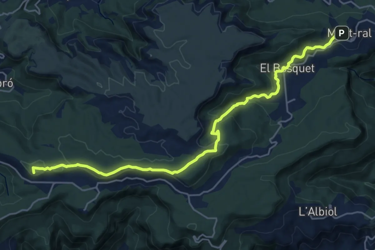
GR 7 Catalunya - Etapa 16
19.0 km · ↑ 531 m · 5 h 38 min · 11 km away
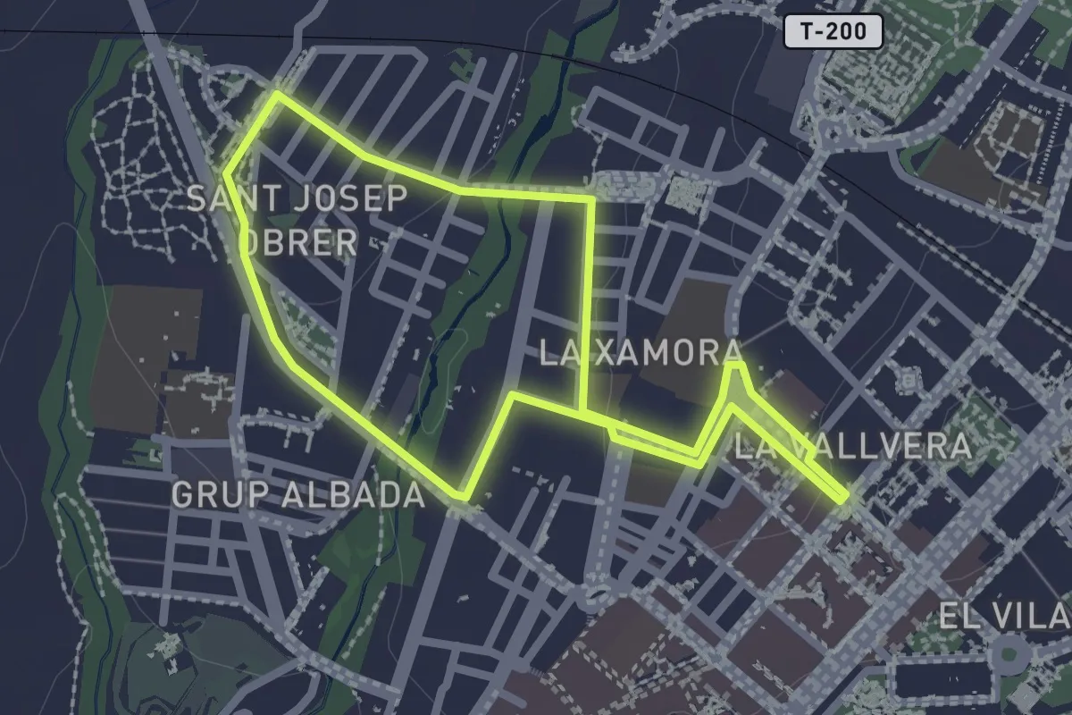
Easy · Trail
Ruta Sant Josep Obrer - Xamora
2.4 km · ↑ 22 m · 39 min · 12 km away
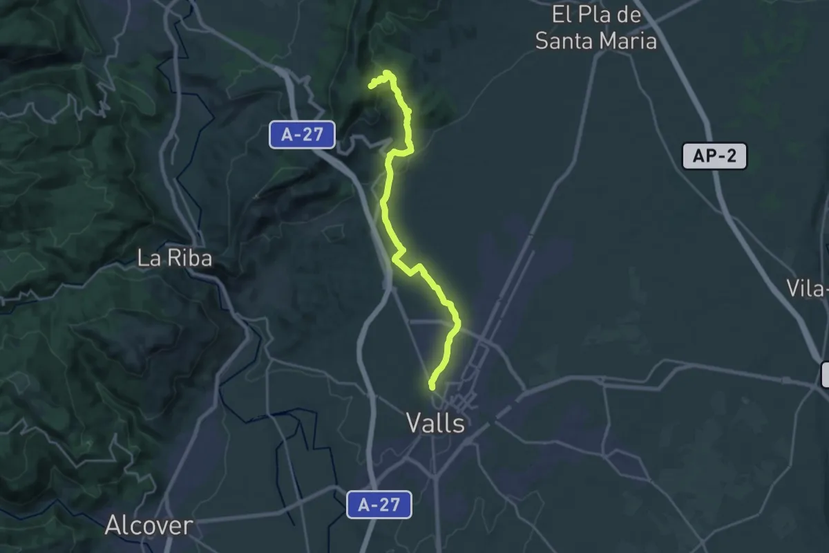
Demanding · Trail
Valls - Serra de Miramar
19.7 km · ↑ 495 m · 5 h 43 min · 12 km away
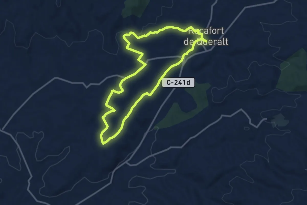
Medium · Trail
Les fites dels camps de conreu. Rocafort de Queralt
8.8 km · ↑ 90 m · 2 h 23 min · 12 km away
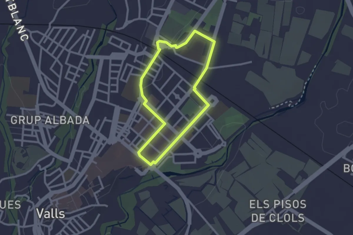
Easy · Trail
Ruta del Fornàs
2.2 km · ↑ 22 m · 36 min · 12 km away
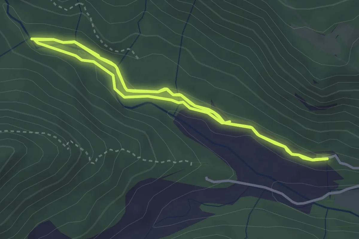
Easy · Trail
Camí natural Ruta del Glorieta. Variant cèquia del Mas de Forés
4.0 km · ↑ 54 m · 1 h 8 min · 12 km away
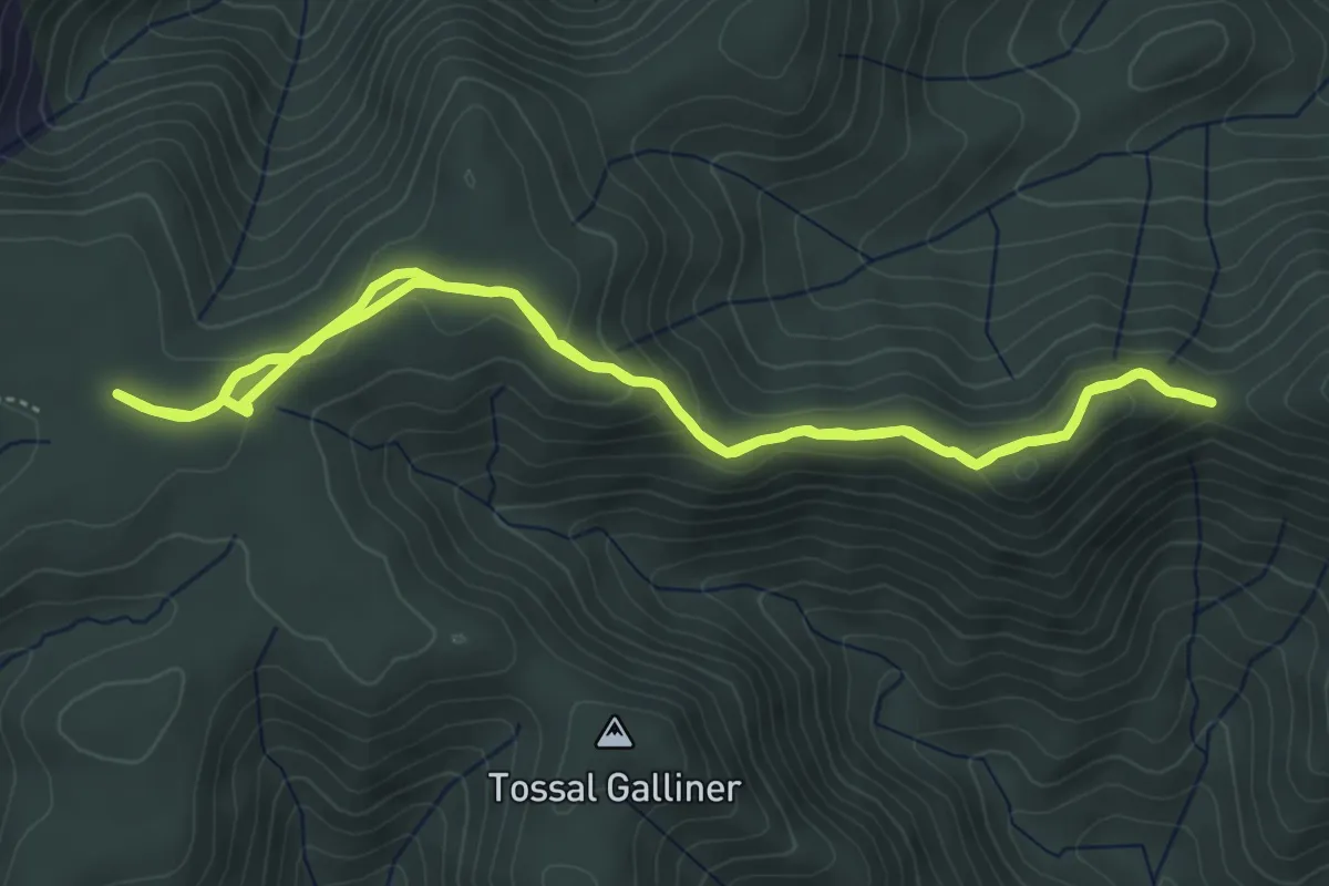
Easy · Trail
Camí natural de les Muntanyes de Prades. Variant de la Serra del Bosc o dels Quatre Batlles
5.3 km · ↑ 156 m · 1 h 40 min · 12 km away
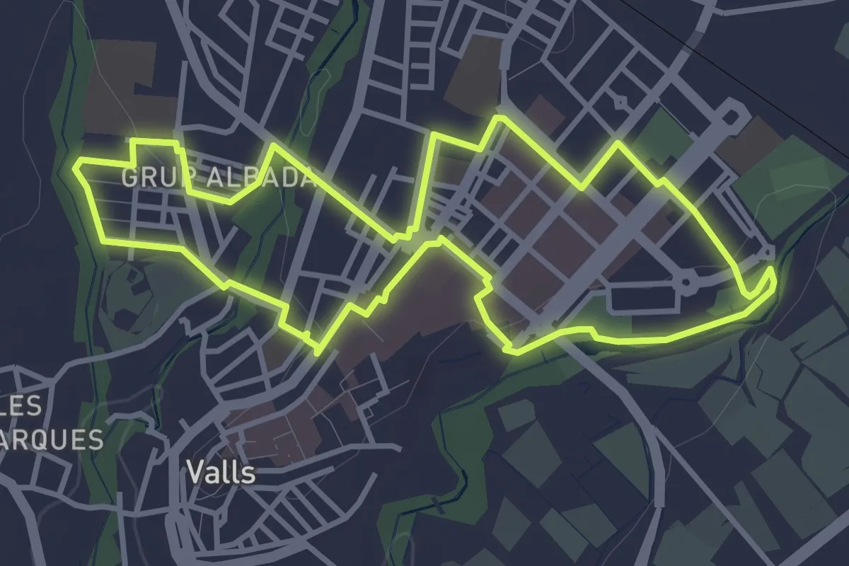
Easy · Trail
Ruta La Fraternal - El Vilar
3.8 km · ↑ 39 m · 1 h 2 min · 13 km away
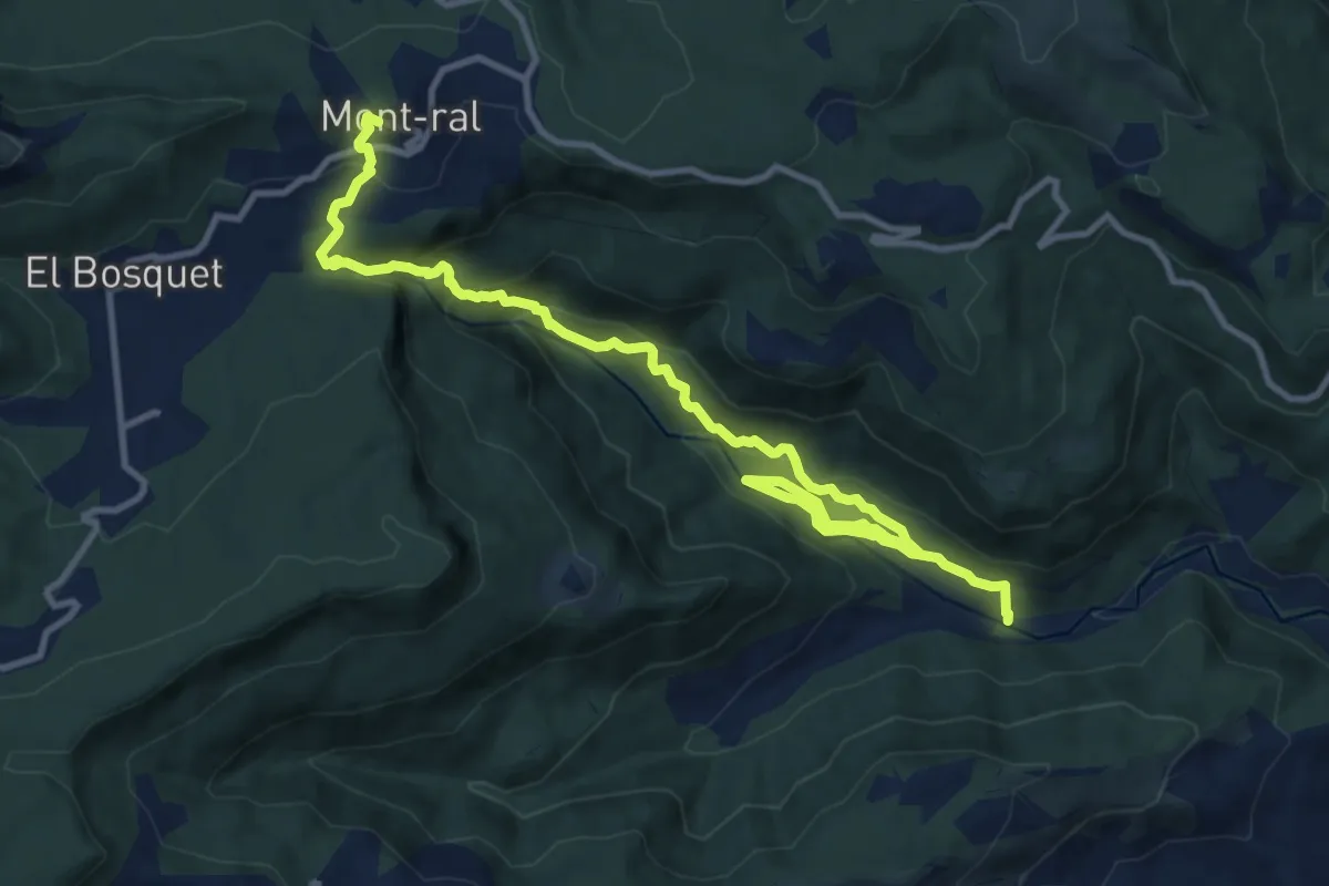
Medium · Cabin
Camí natural Ruta del Glorieta
15.0 km · ↑ 786 m · 5 h 15 min · 13 km away
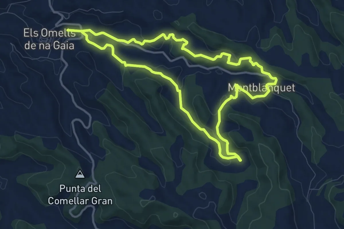
Medium · Trail
Sender dels Omells de na Gaia
10.5 km · ↑ 196 m · 3 h 4 min · 13 km away
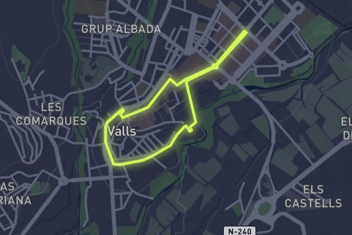
Easy · Trail
Ruta de les Muralles
2.4 km · ↑ 26 m · 40 min · 13 km away
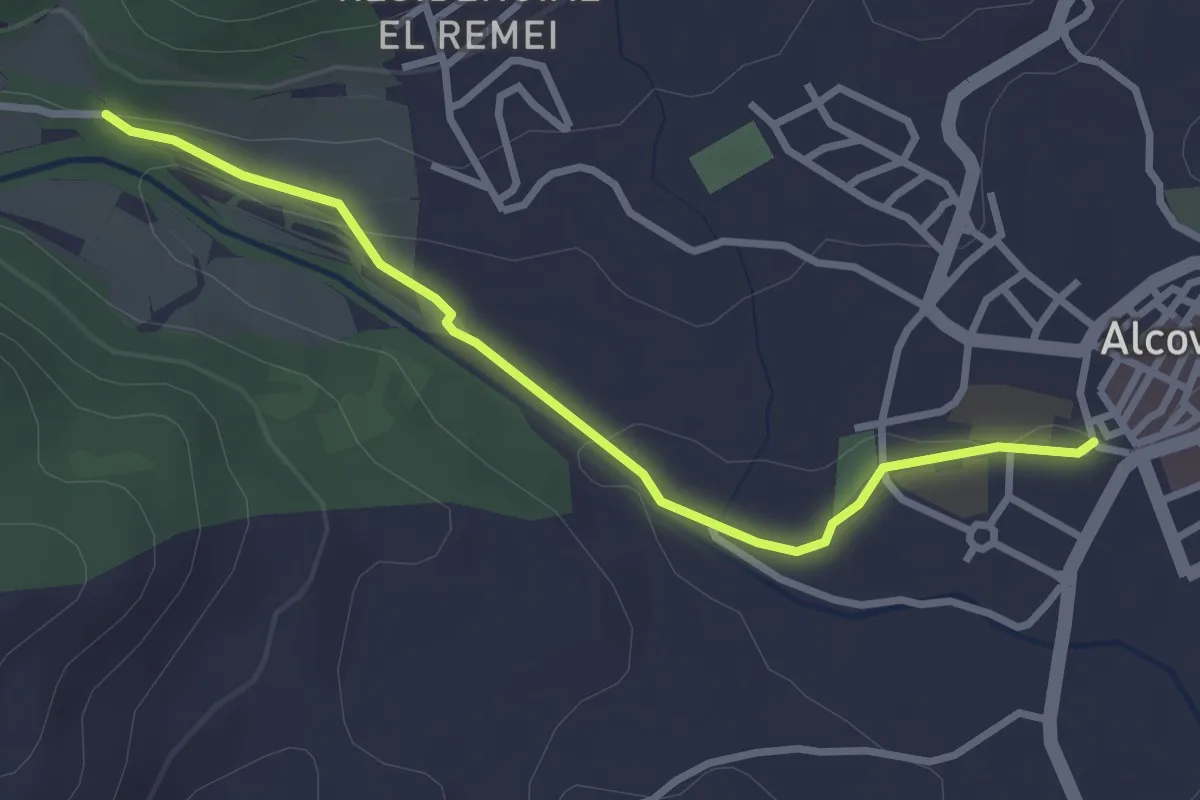
Easy · Trail
Variant Alcover - Gorg de la Peixera
3.3 km · ↑ 52 m · 53 min · 13 km away
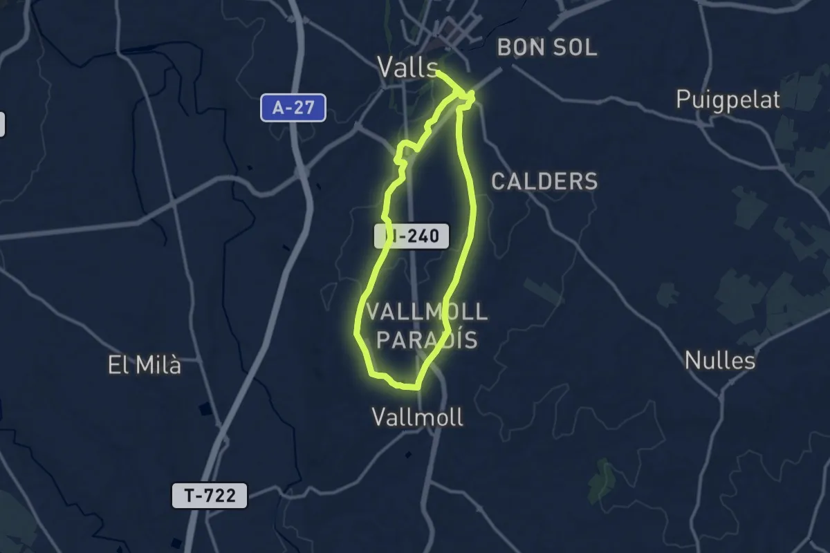
Medium · Trail
Itinerari de Salut: Camí de Vallmoll
10.3 km · ↑ 88 m · 2 h 46 min · 13 km away
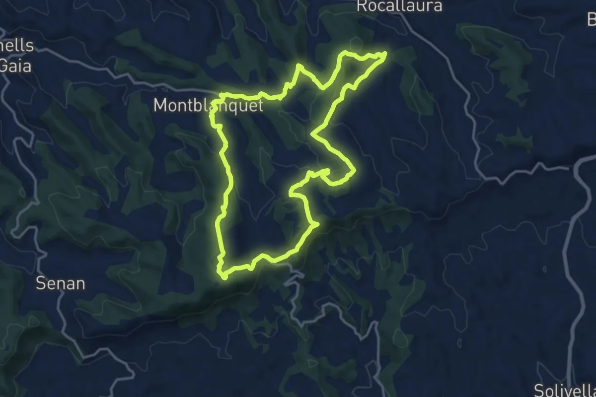
Medium · Trail
Serra del Tallat
13.5 km · ↑ 383 m · 4 h 13 min · 14 km away
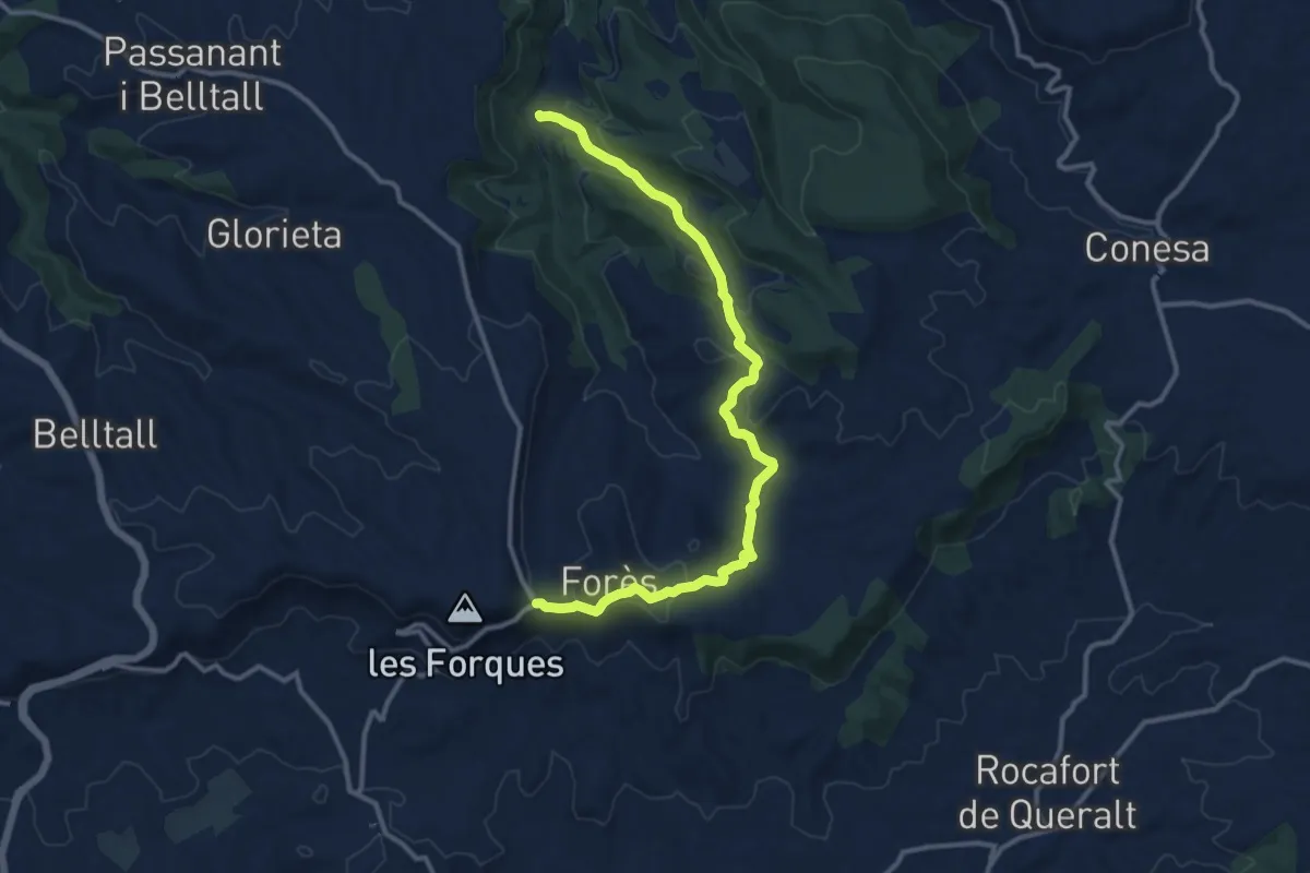
Medium · Trail
Del Santuari de Pinós als Ports. Variant Fonoll - Coll de Forès
14.2 km · ↑ 408 m · 4 h 14 min · 14 km away