Trails near Montgat
42 hikes starting within 15 km, nearest first.
Nearest first
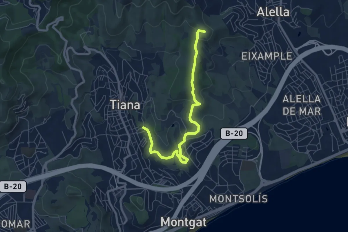
Easy · Summit
Sender del Rocar, descobrint l'entorn de Tiana
7.1 km · ↑ 187 m · 2 h 5 min · 1 km away
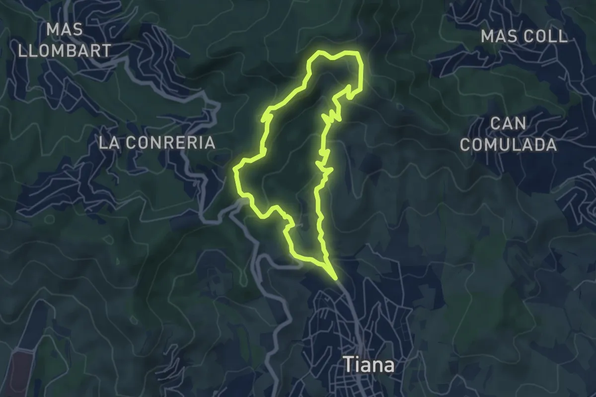
Medium · Trail
Tiana-Turó d'en Galzeran
5.7 km · ↑ 315 m · 2 h 6 min · 3 km away
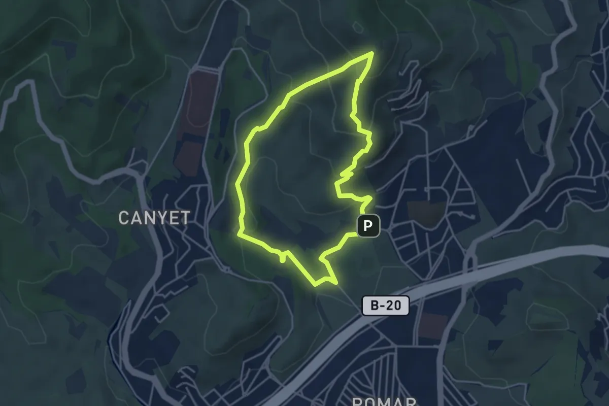
Easy · Summit
La Vall de Pomar
4.0 km · ↑ 230 m · 1 h 29 min · 3 km away
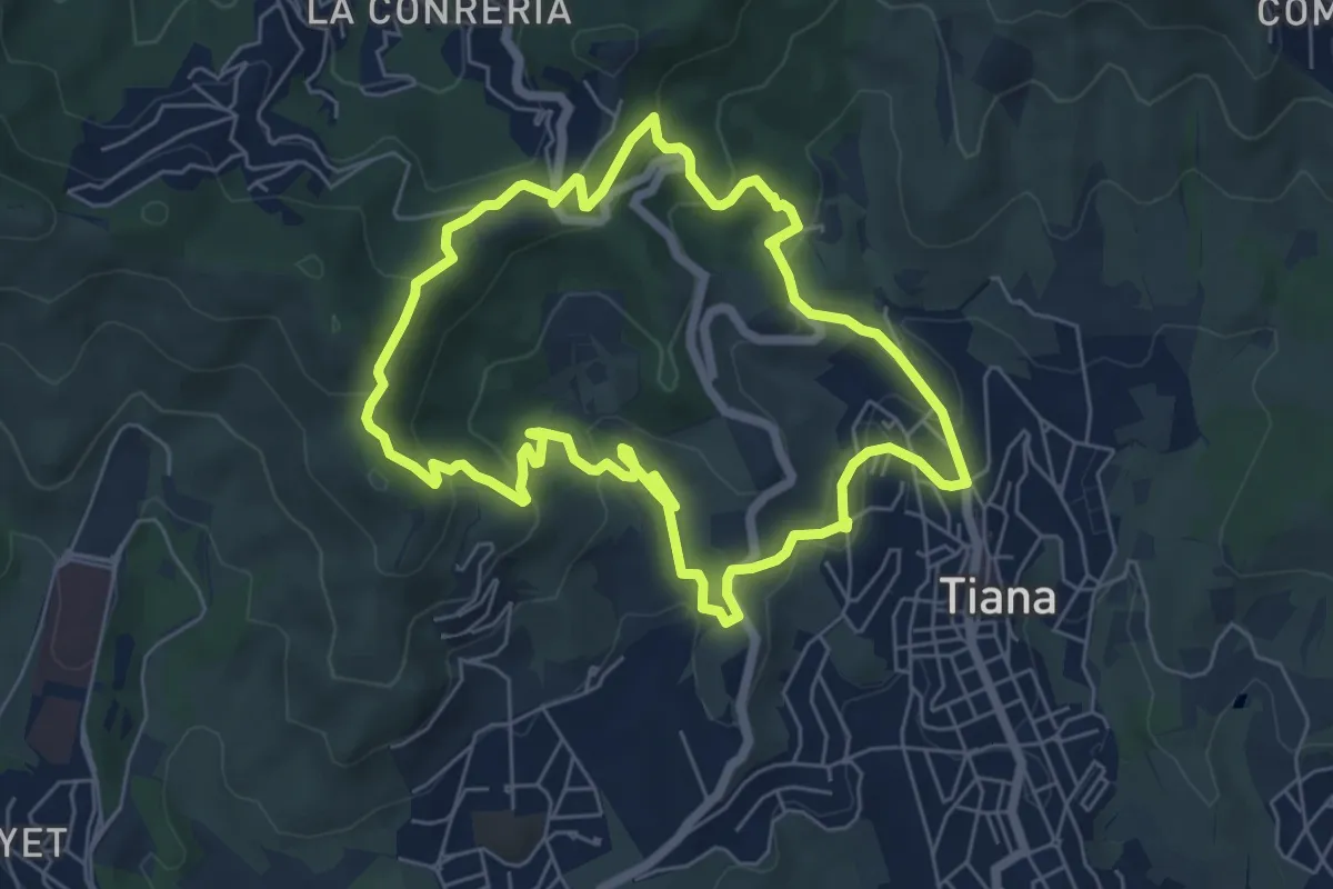
Medium · Summit
La vall de Montealegre
6.7 km · ↑ 279 m · 2 h 17 min · 3 km away
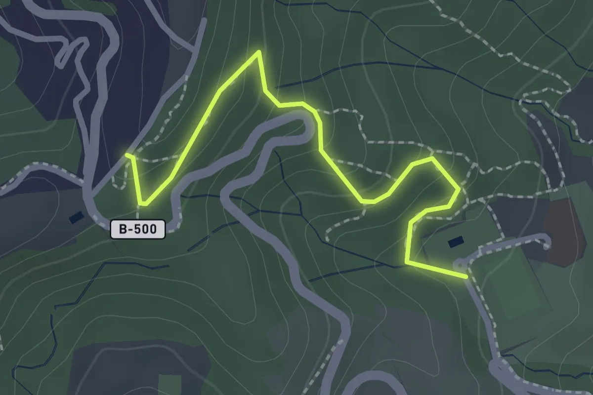
Medium · Trail
De la font d'Alba a la Conreria
2.5 km · ↑ 124 m · 51 min · 4 km away
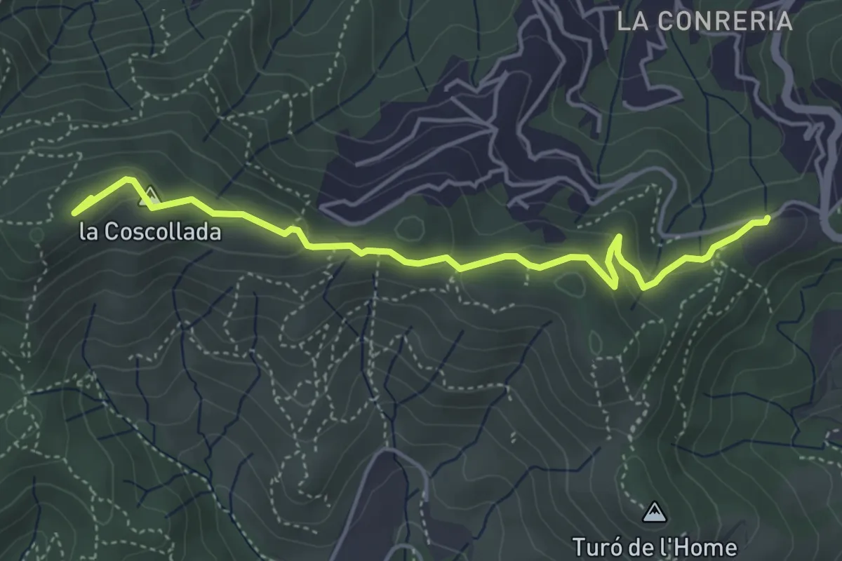
Easy · Summit
De la Conreria al turó de les Maleses
4.9 km · ↑ 175 m · 1 h 33 min · 4 km away
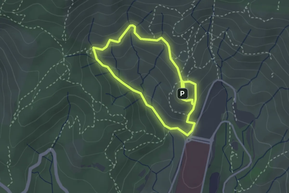
Easy · Summit
El torrent de l'Amigó
2.8 km · ↑ 181 m · 1 h 5 min · 4 km away
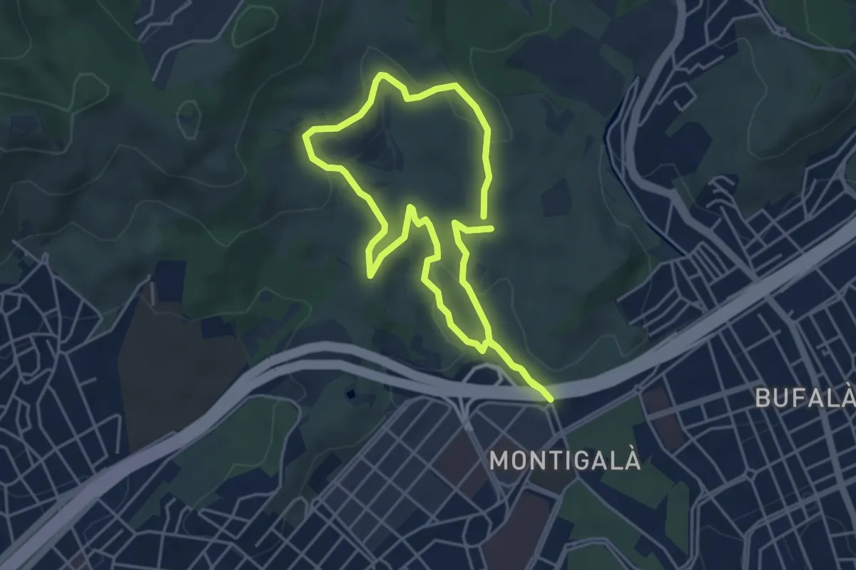
Easy · Summit
La vall de Sant Jeroni de la Murtra
4.2 km · ↑ 80 m · 1 h 13 min · 4 km away
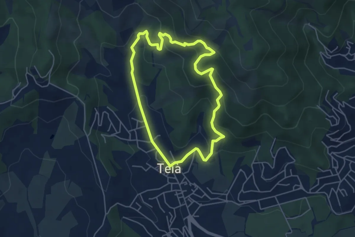
Easy · Trail
Ruta del Vedat
4.3 km · ↑ 254 m · 1 h 38 min · 5 km away
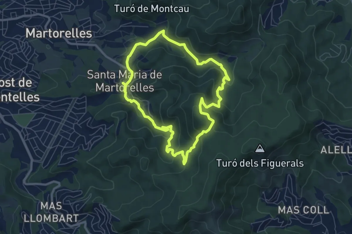
Demanding · Summit
Les fonts de Santa Maria de Martorelles
6.7 km · ↑ 311 m · 2 h 21 min · 6 km away
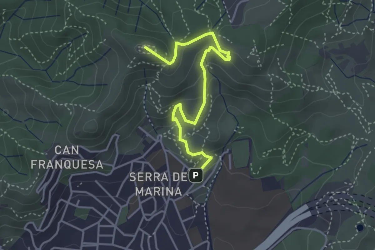
Demanding · Summit
Torrent de les Bruixes. Itinerari pedagògic
4.1 km · ↑ 238 m · 1 h 29 min · 6 km away
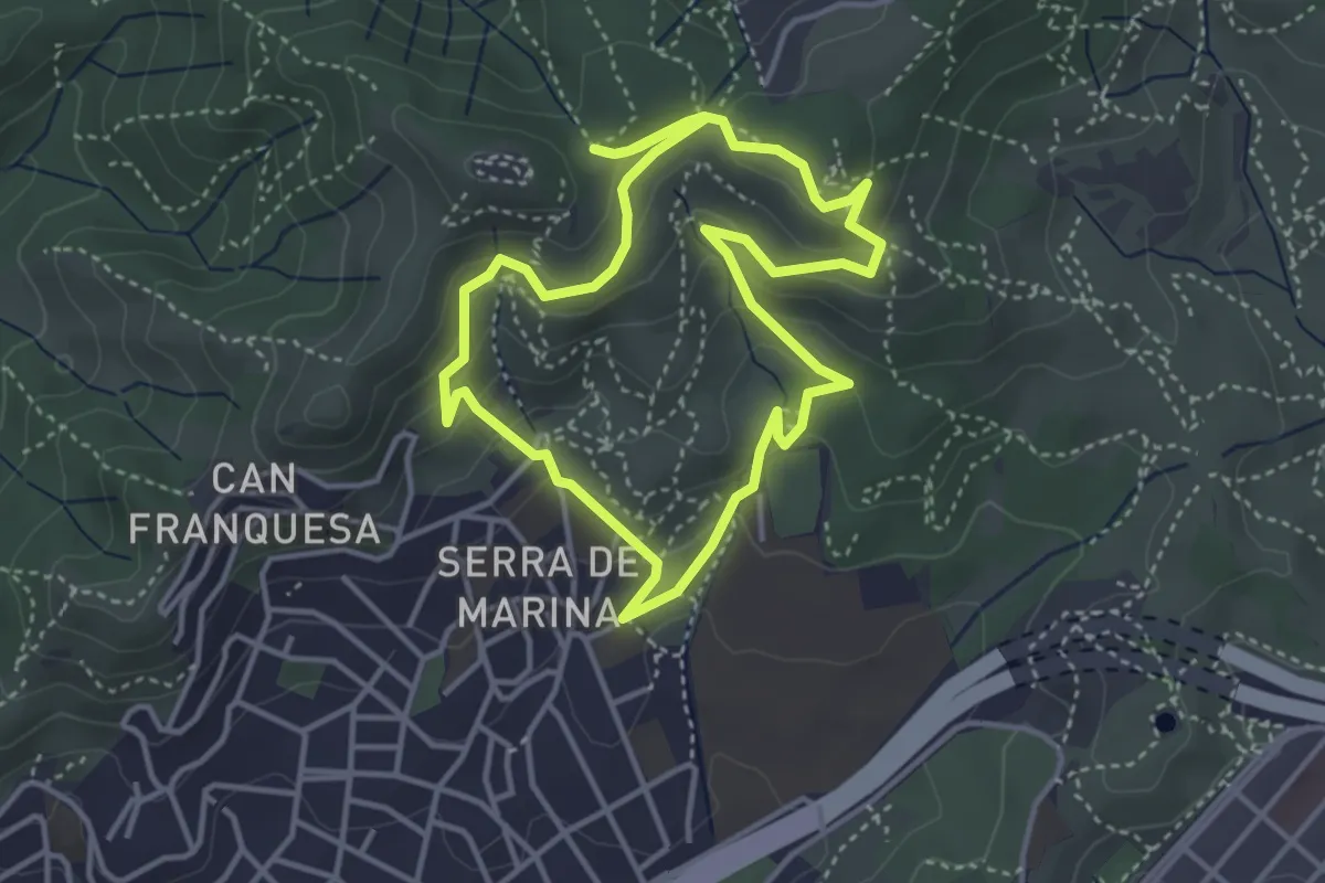
Easy · Trail
De Torribera al Puig Castellar
4.1 km · ↑ 187 m · 1 h 25 min · 6 km away
Easy · Summit
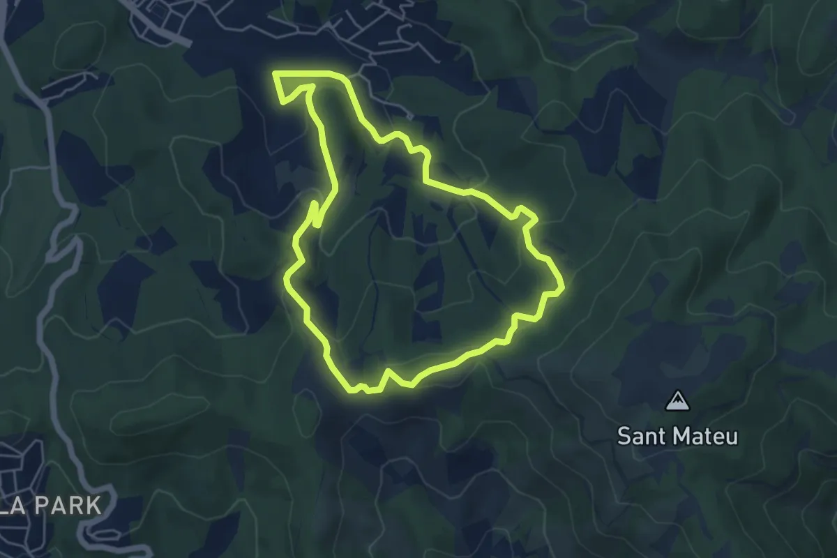
La Font de Can Gurguí
5.3 km · ↑ 198 m · 1 h 45 min · 6 km away
Medium · Summit
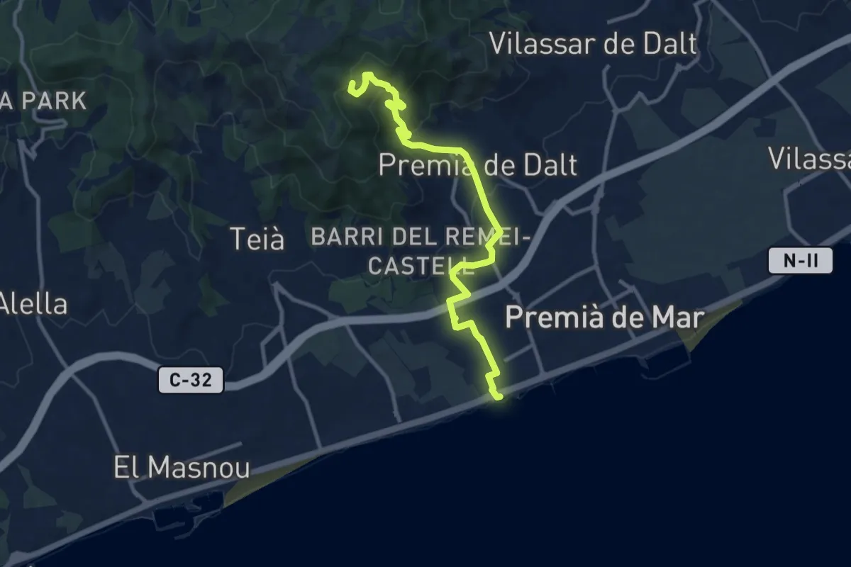
Premià de Dalt-Premià de Mar
11.3 km · ↑ 424 m · 3 h 35 min · 6 km away
Demanding · Summit
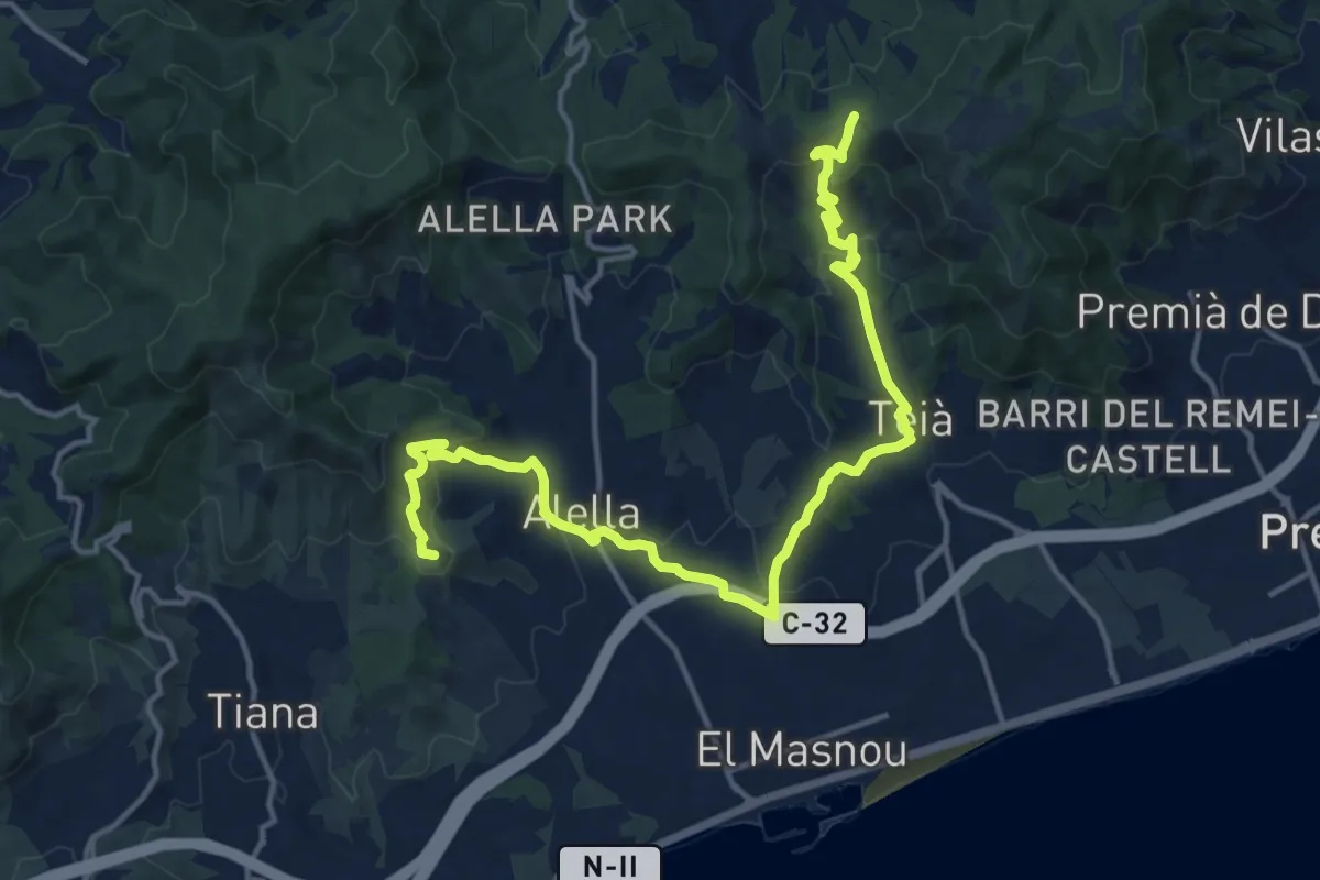
Tiana-Teià
18.8 km · ↑ 713 m · 5 h 58 min · 6 km away
Easy · Trail
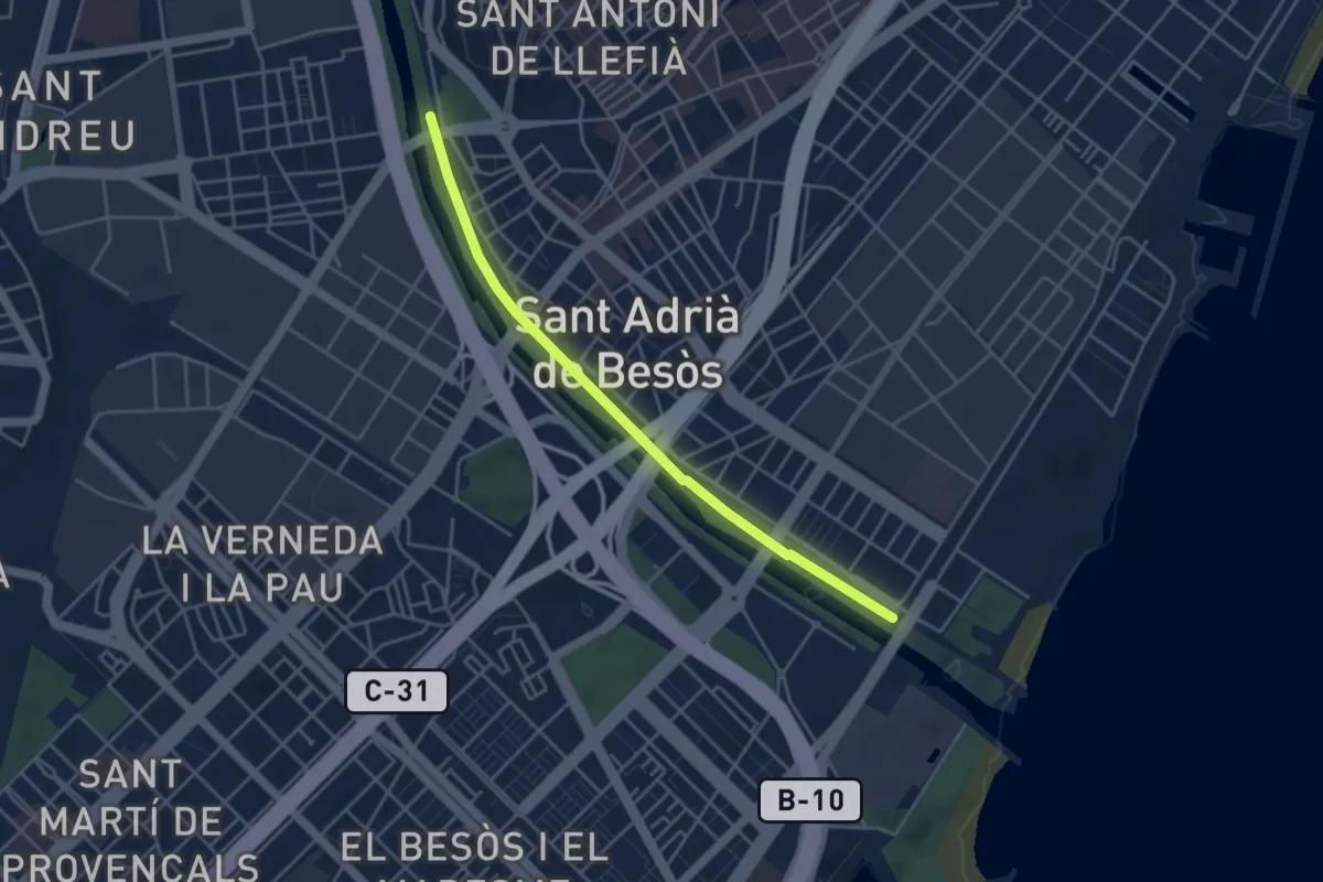
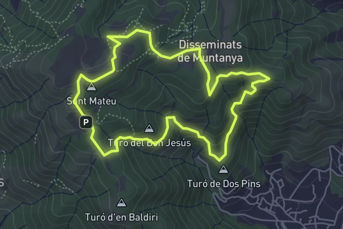
Circuit inclusiu Sant Adrià de Besòs
4.6 km · ↑ 8 m · 1 h 6 min · 6 km away
Easy · Summit
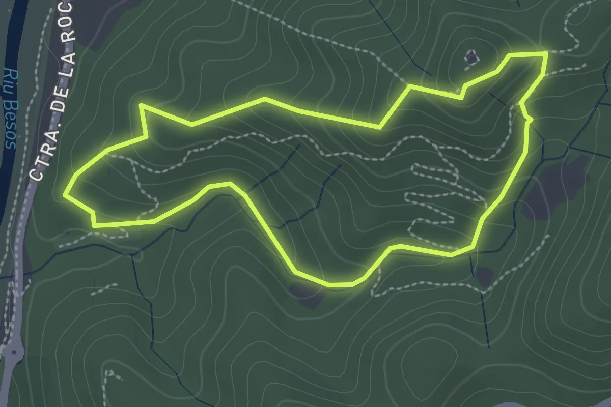
Ruta de l'Esquirol
4.9 km · ↑ 237 m · 1 h 45 min · 6 km away
Medium · Summit
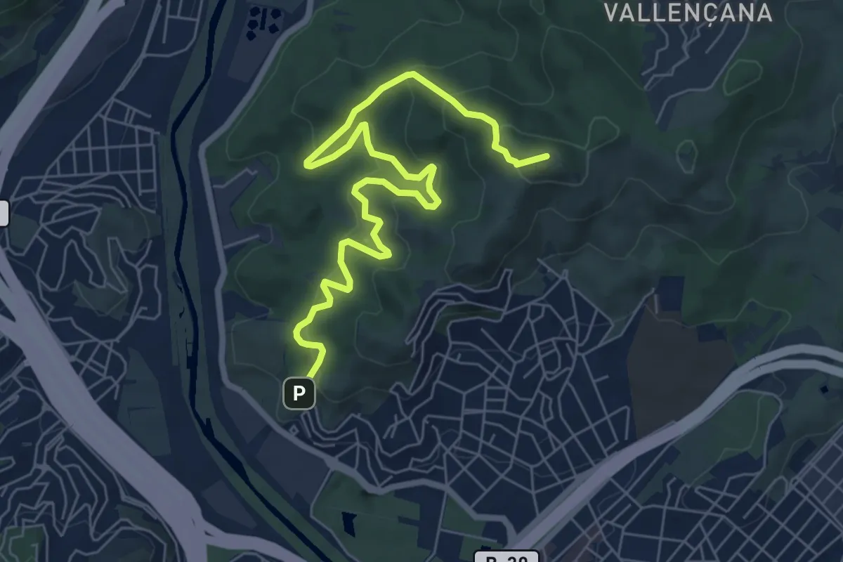
La font del Tort
2.8 km · ↑ 171 m · 1 h 4 min · 7 km away
Medium · Summit
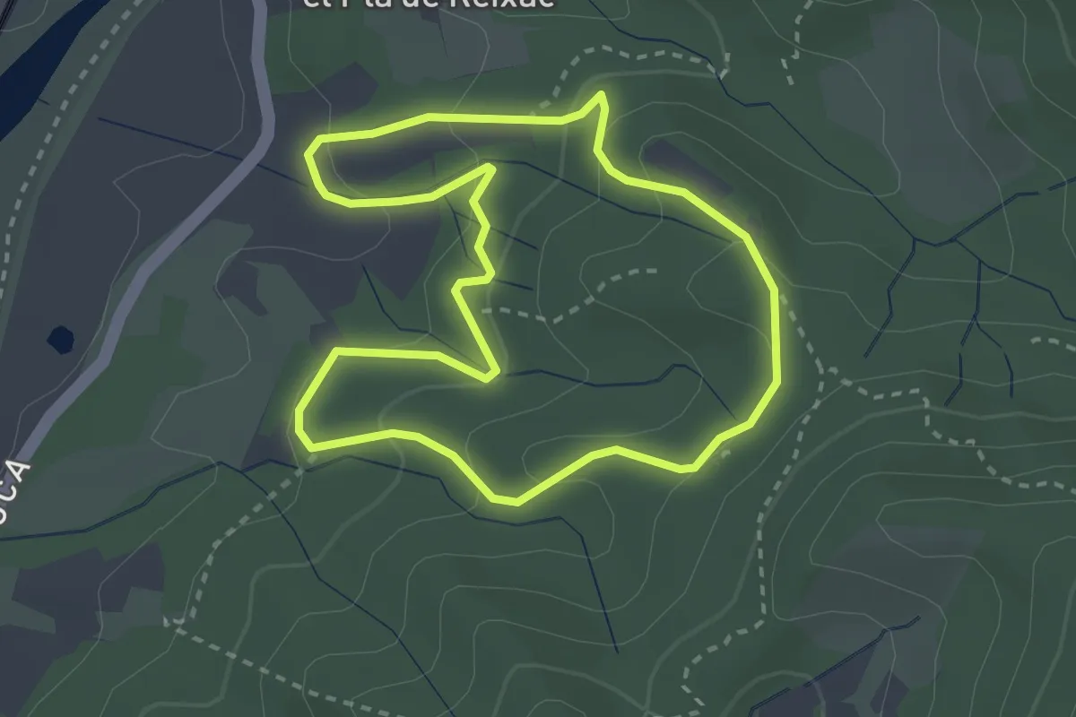
De la font de l'Alzina al Puig Castellar
8.6 km · ↑ 570 m · 3 h 16 min · 7 km away
Easy · Summit
Al voltant de Sant Pere de Reixac
3.0 km · ↑ 127 m · 1 h 1 min · 7 km away
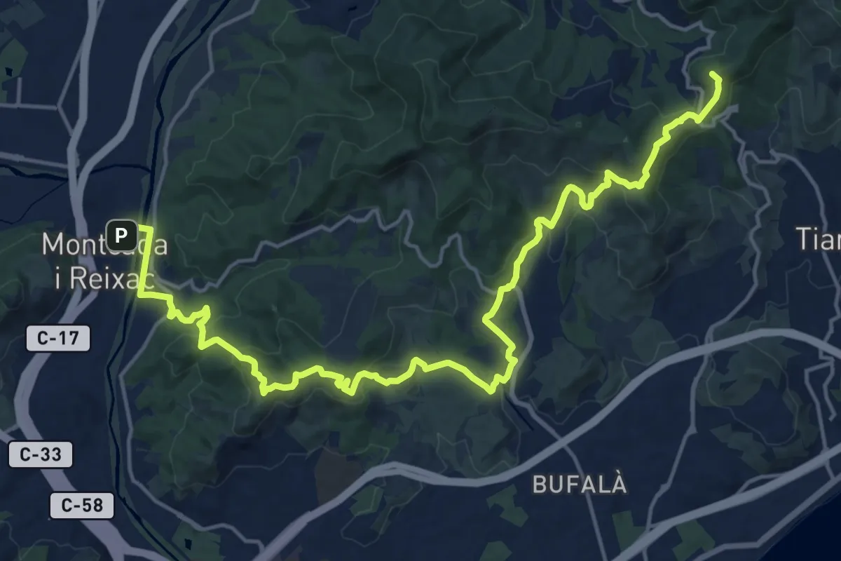
Demanding · Summit
Catalunya E17
22.9 km · ↑ 918 m · 7 h 24 min · 8 km away
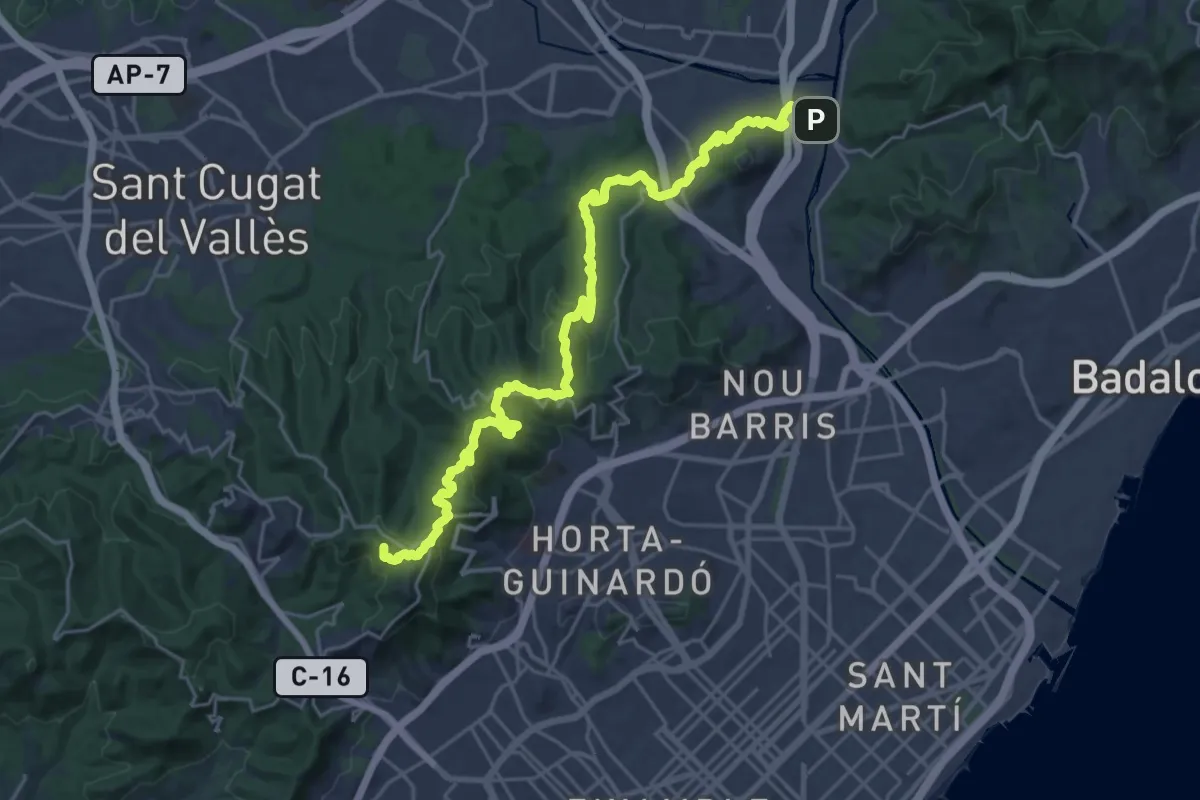
Demanding · Summit
Catalunya E18
30.3 km · ↑ 1113 m · 9 h 34 min · 8 km away
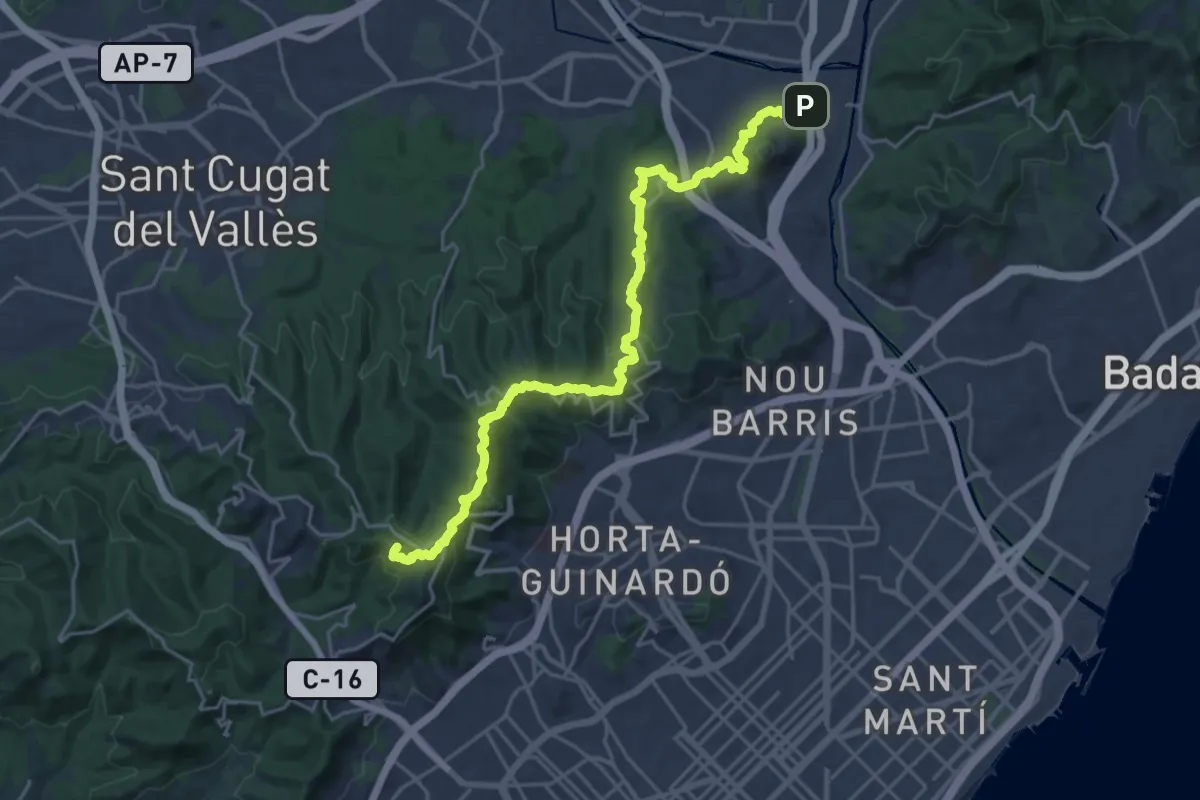
Demanding · Summit
Carenejant Collserola
26.0 km · ↑ 1036 m · 8 h 22 min · 8 km away
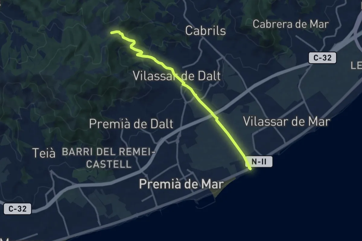
Medium · Trail
Vilassar de Mar-Vilassar de Dalt
10.8 km · ↑ 384 m · 3 h 23 min · 8 km away
Easy · Trail
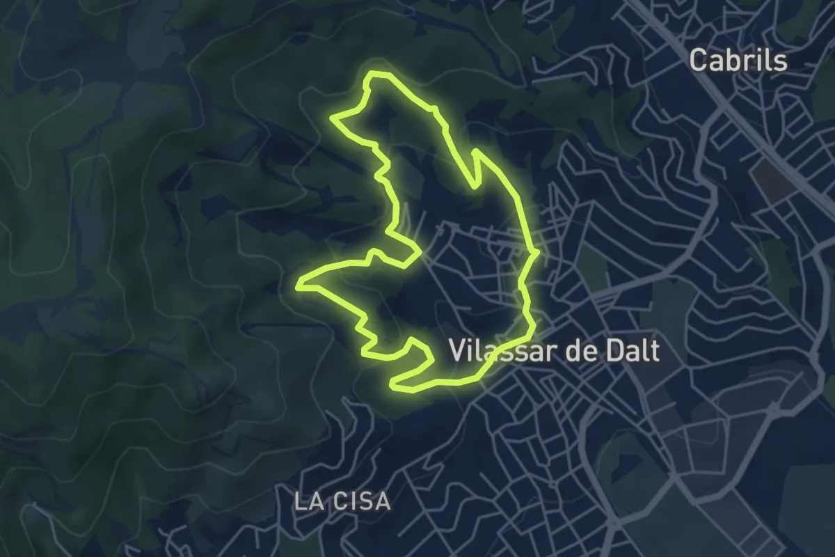
Anella Verda de Vilassar
5.1 km · ↑ 204 m · 1 h 42 min · 8 km away
Medium · Summit
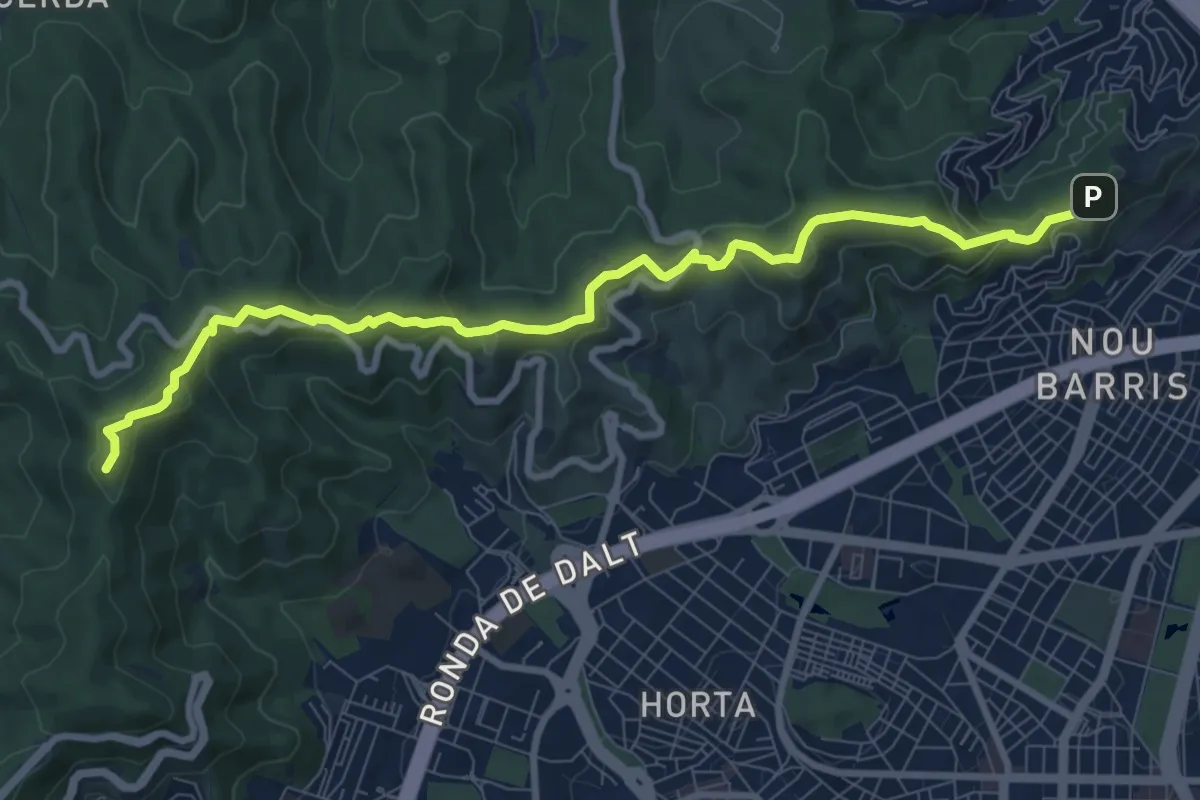
Barcelona als peus - de Torre Baró al Tibidabo
10.6 km · ↑ 396 m · 3 h 22 min · 8 km away
Easy · Summit
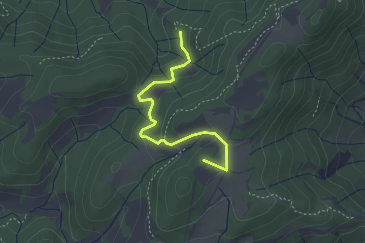
Vilasar de Dalt-Roca d'en Toni
3.5 km · ↑ 161 m · 1 h 10 min · 9 km away
Easy · Summit
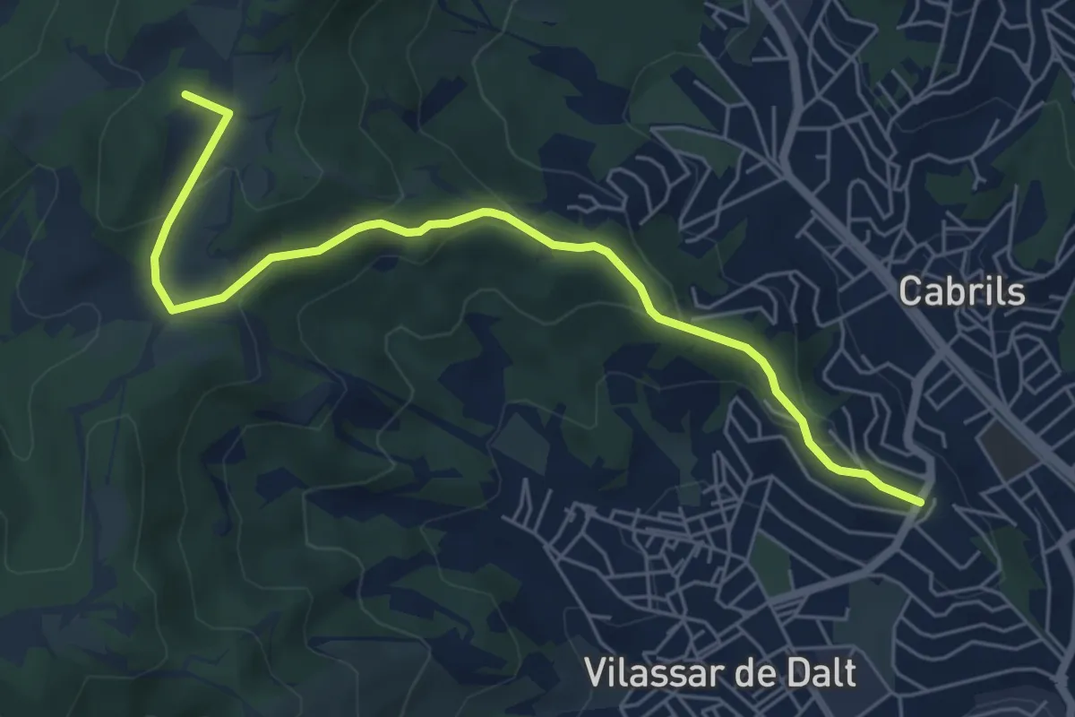
Cabrils-Les Artigasses
6.7 km · ↑ 258 m · 2 h 9 min · 9 km away
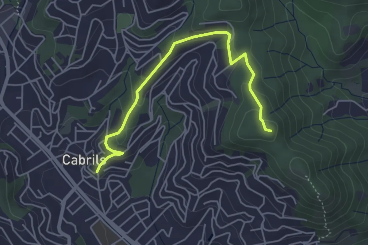
Easy · Summit
Cabrils-Creu de Montcabrer
4.7 km · ↑ 168 m · 1 h 28 min · 10 km away
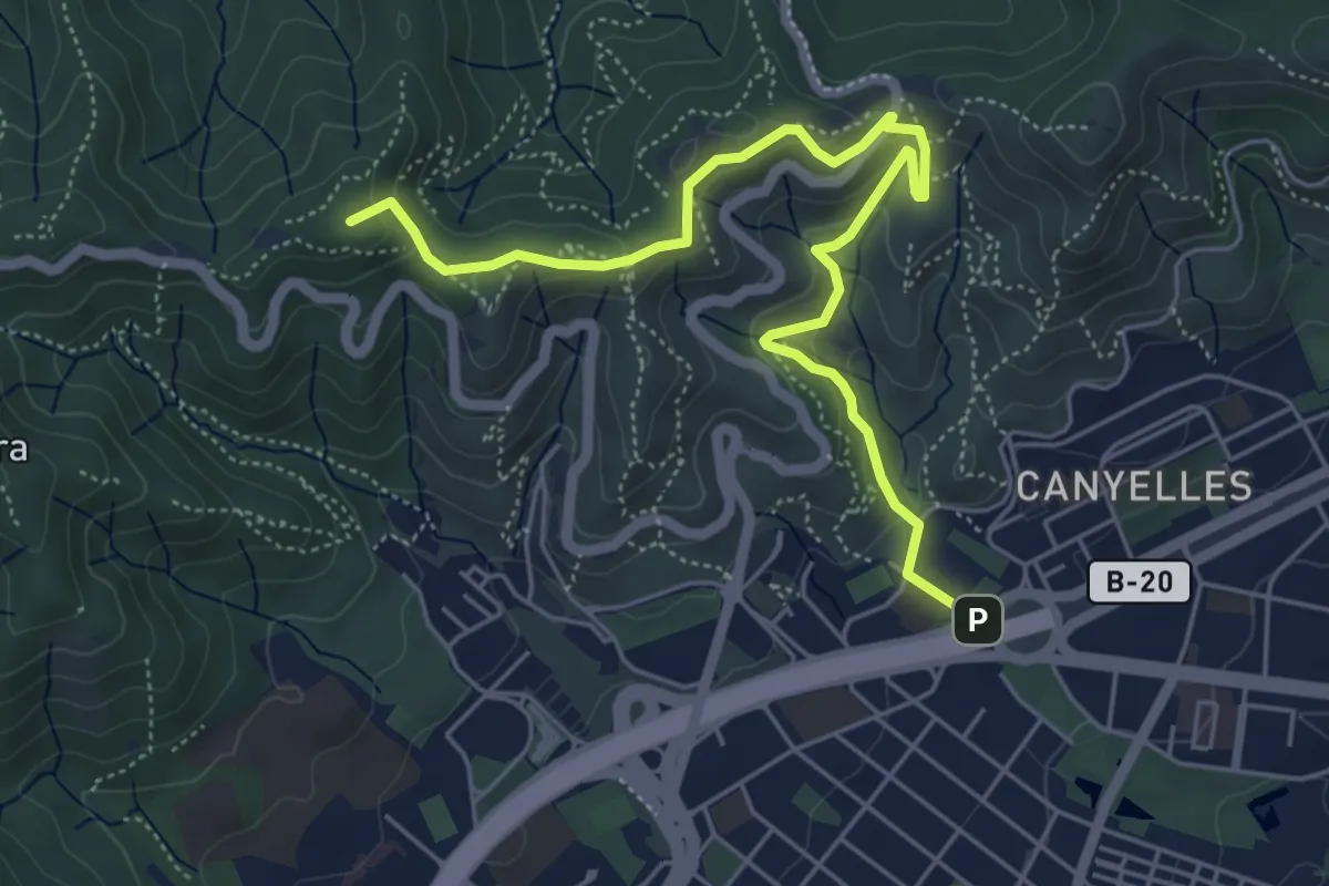
Easy · Summit
Vallès Natural. Variant Can Canaletes - Barcelona
6.6 km · ↑ 320 m · 2 h 15 min · 10 km away
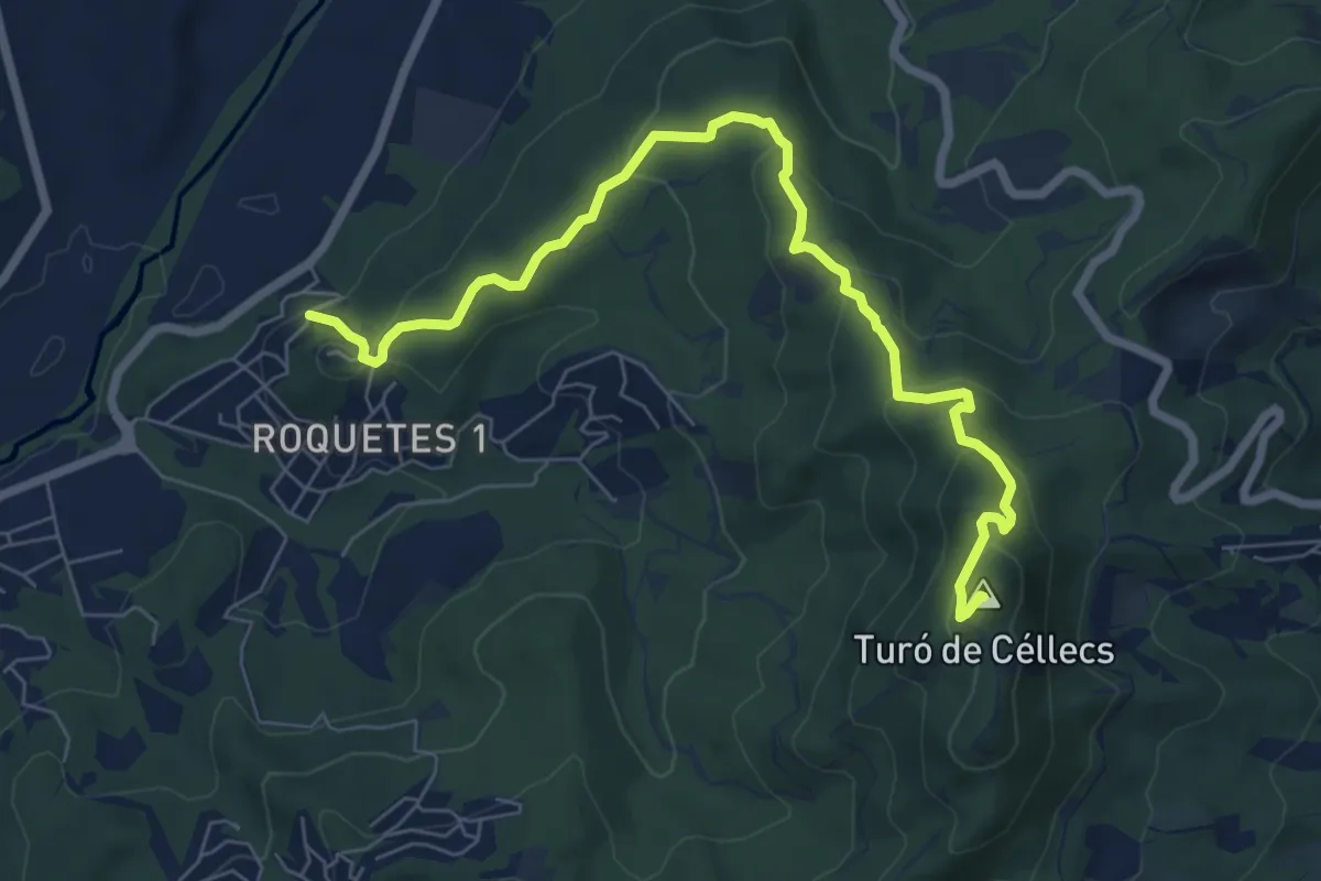
Medium · Summit
Ruta Prehistòrica I : Can Gol-Céllecs
8.6 km · ↑ 365 m · 2 h 49 min · 11 km away
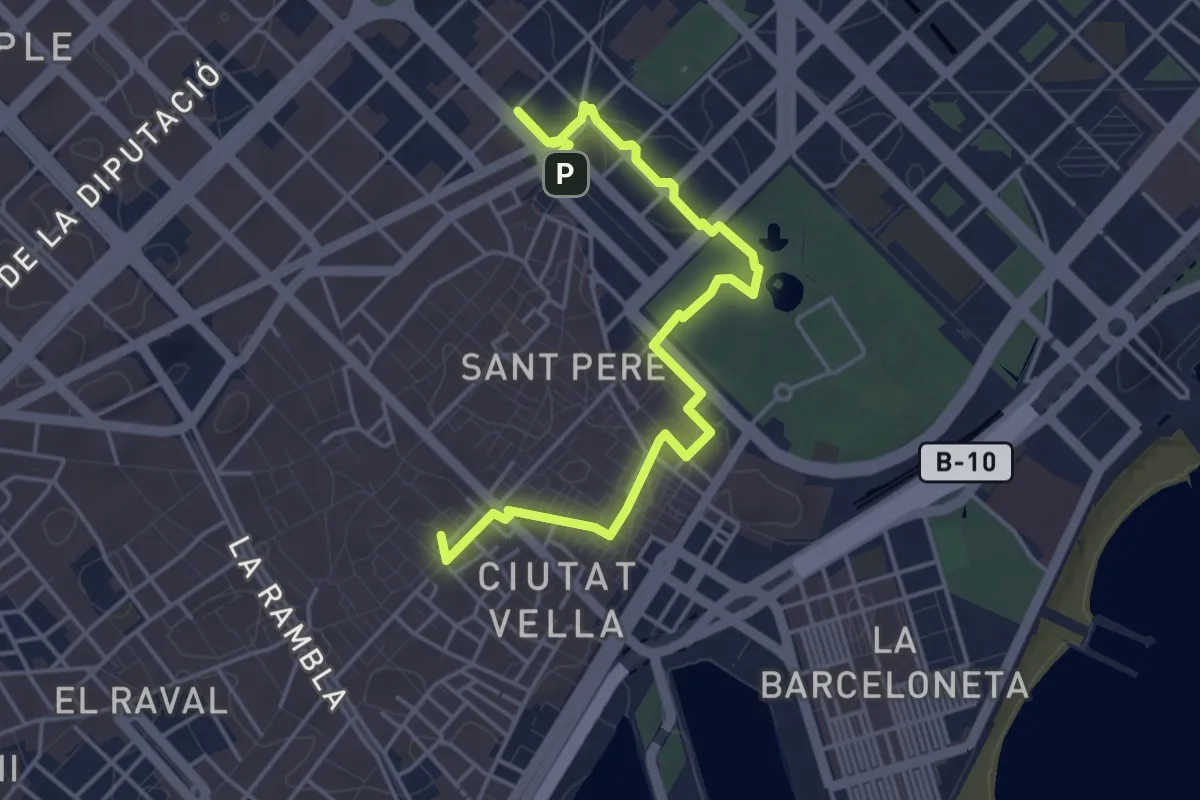
Easy · Summit
Ruta del Modernisme
5.5 km · ↑ 42 m · 1 h 24 min · 12 km away
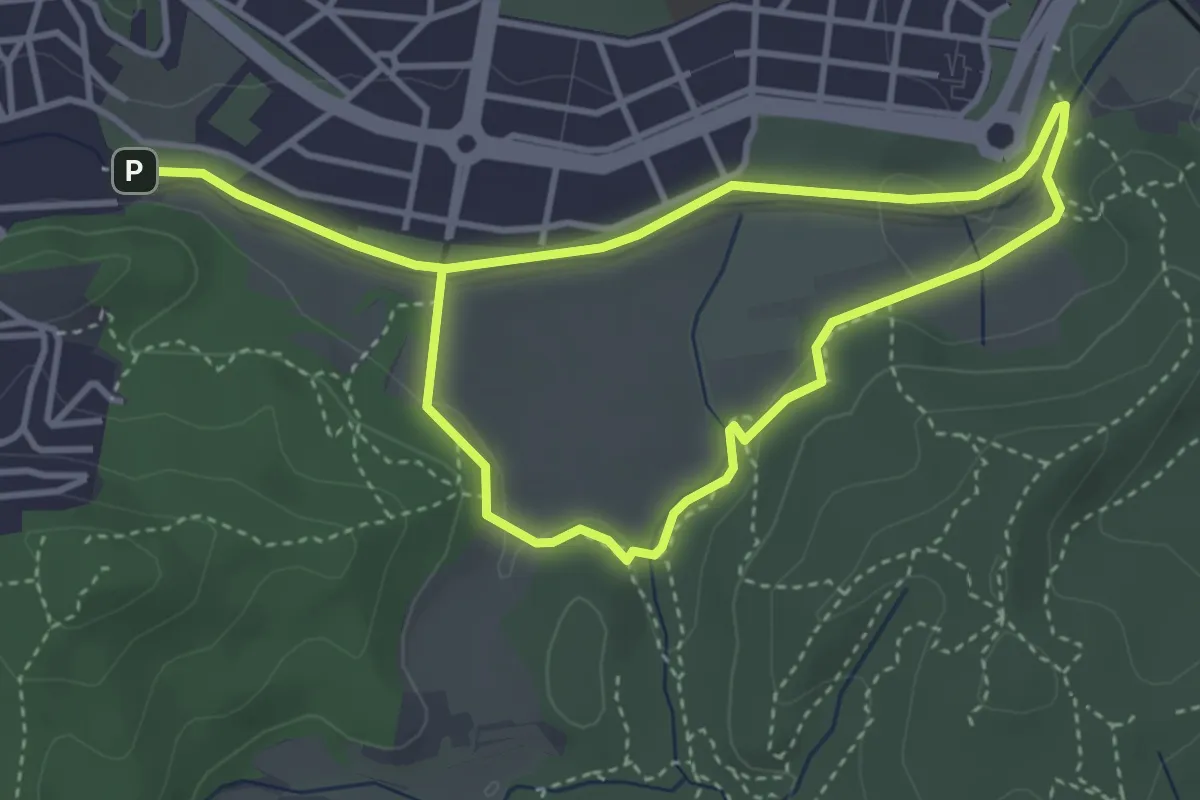
Easy · Trail
Circuit inclusiu de Cerdanyola del Vallès
3.6 km · ↑ 30 m · 58 min · 12 km away
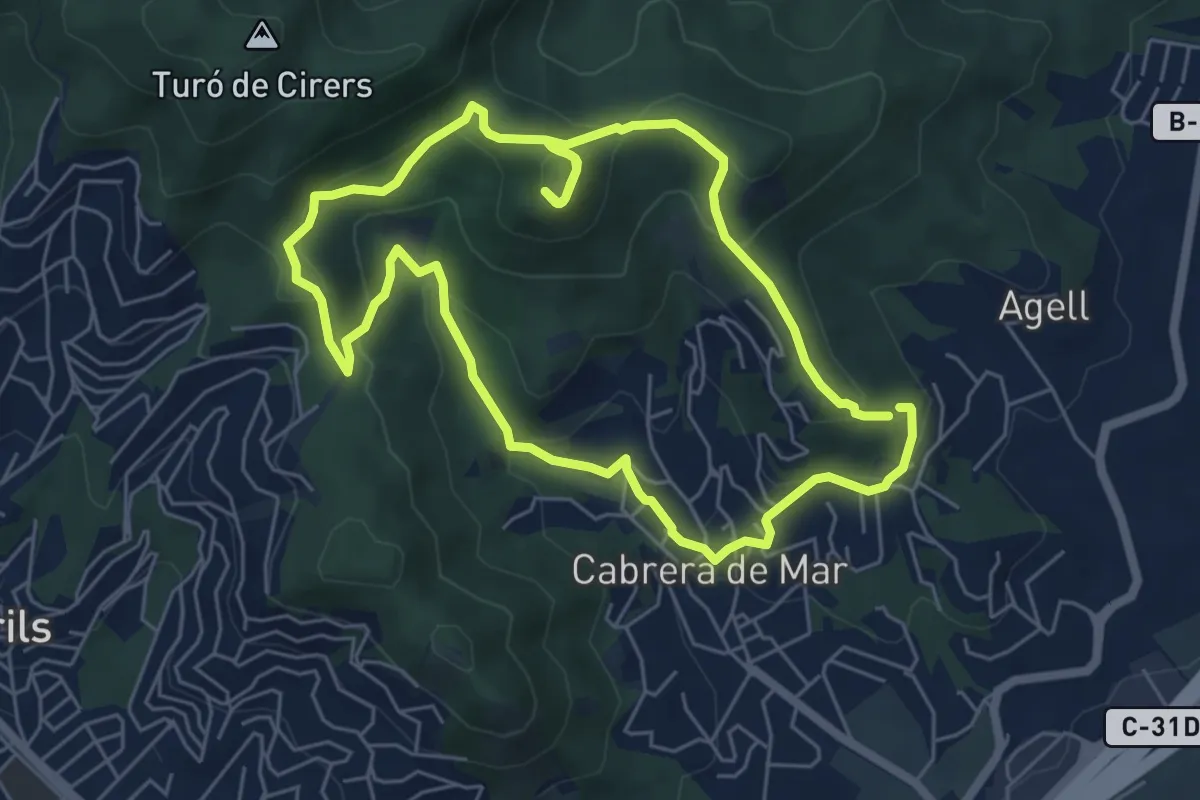
Easy · Summit
Cabrera de Mar-Castell de Burriac
6.3 km · ↑ 294 m · 2 h 13 min · 12 km away
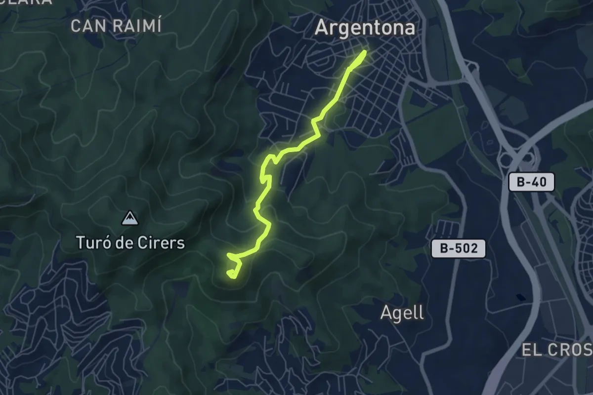
Easy · Summit
Argentona-Castell de Burriac
6.3 km · ↑ 299 m · 2 h 8 min · 14 km away
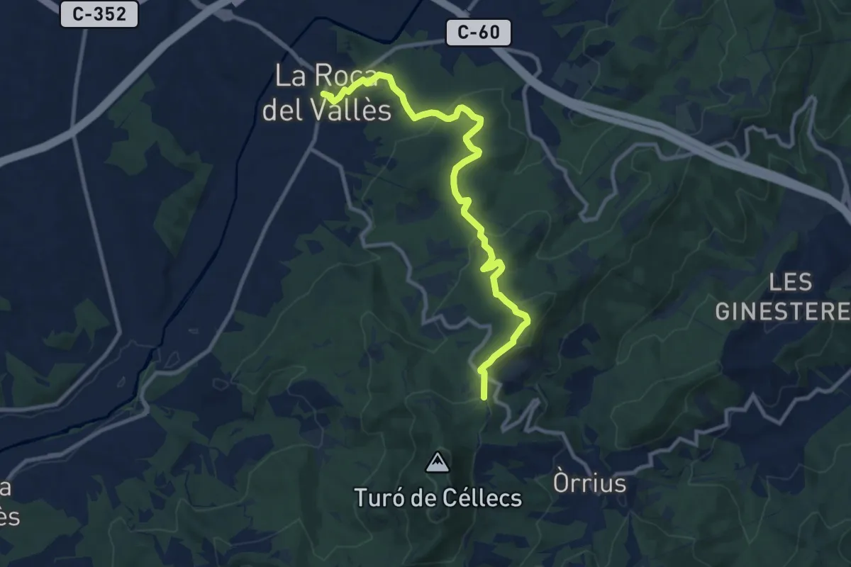
Medium · Trail
Cèllecs-Sant Bartmeu de Cabanyes
11.2 km · ↑ 368 m · 3 h 26 min · 14 km away
Medium · Trail
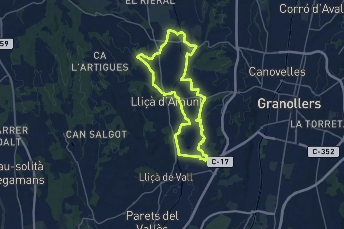
Lliçà d'Amunt
14.1 km · ↑ 171 m · 3 h 53 min · 14 km away
Medium · Summit
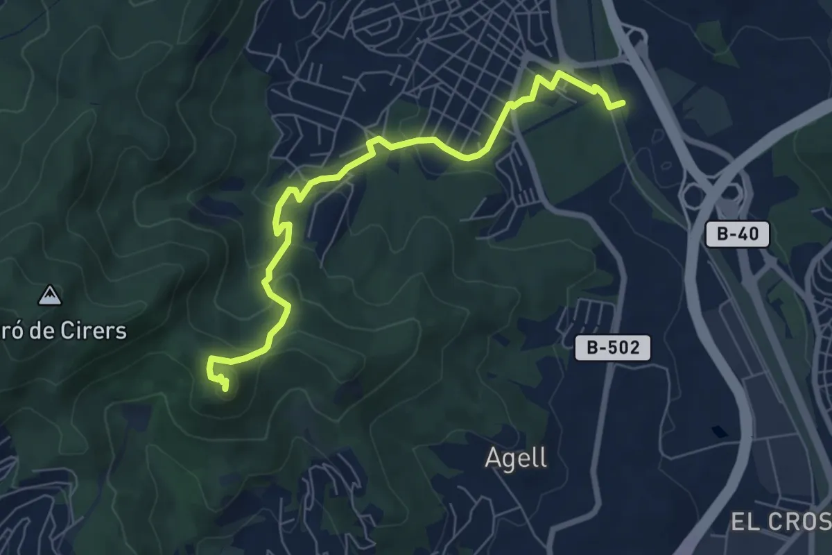
Argentona-Castell de Burriac
7.5 km · ↑ 327 m · 2 h 28 min · 14 km away
Easy · Summit
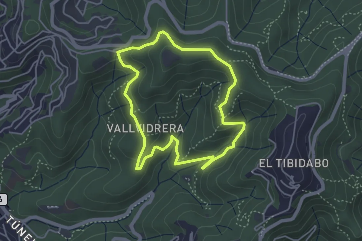
Passejada per la serra d'en Cardona
3.7 km · ↑ 162 m · 1 h 16 min · 15 km away
Medium · Summit
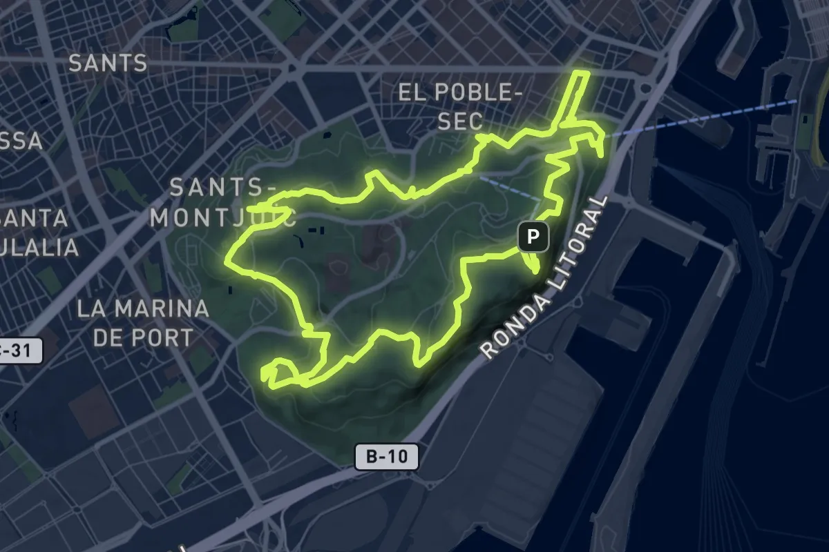
Montjuïc 360
11.2 km · ↑ 311 m · 3 h 29 min · 15 km away
Medium · Summit
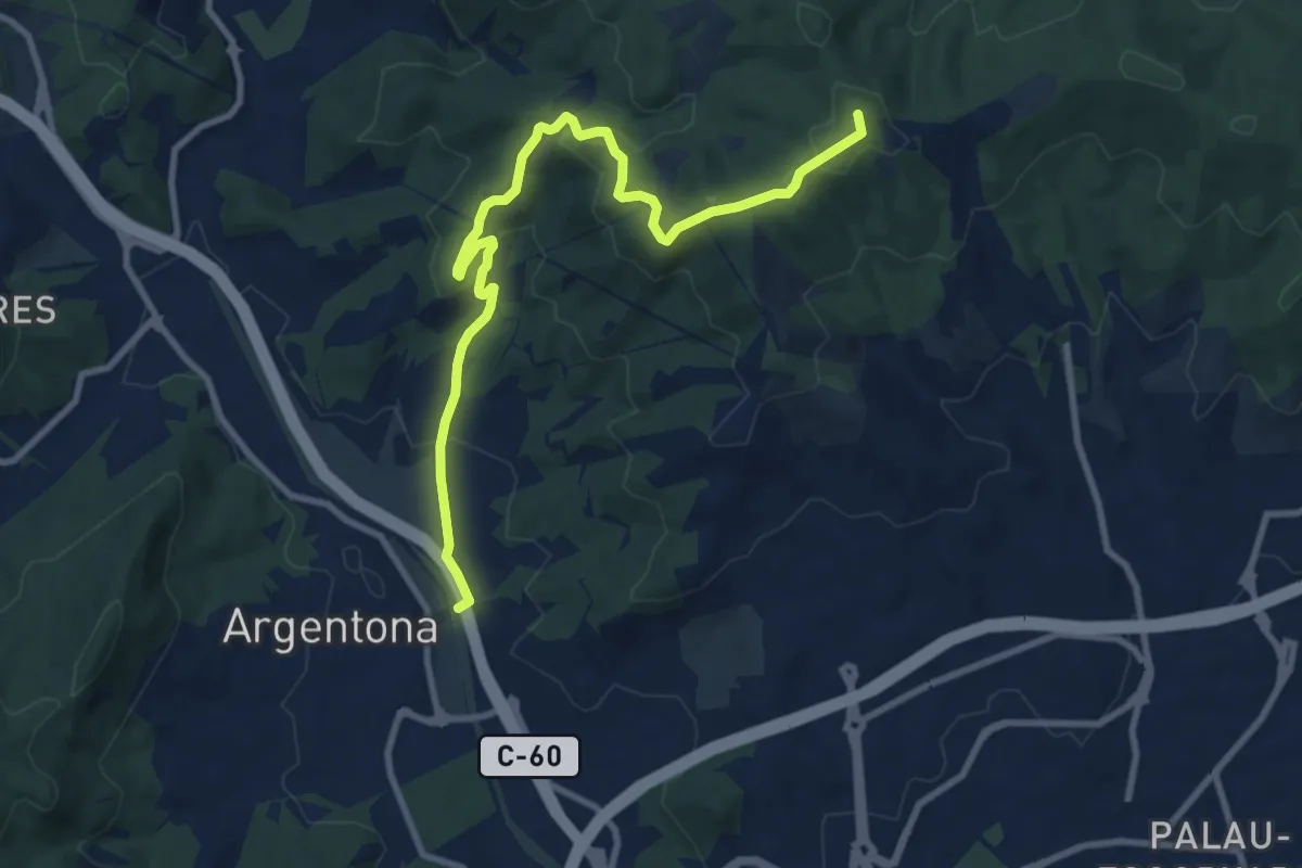
Argentona-Can Bruguera
11.3 km · ↑ 392 m · 3 h 31 min · 15 km away
Medium · Trail
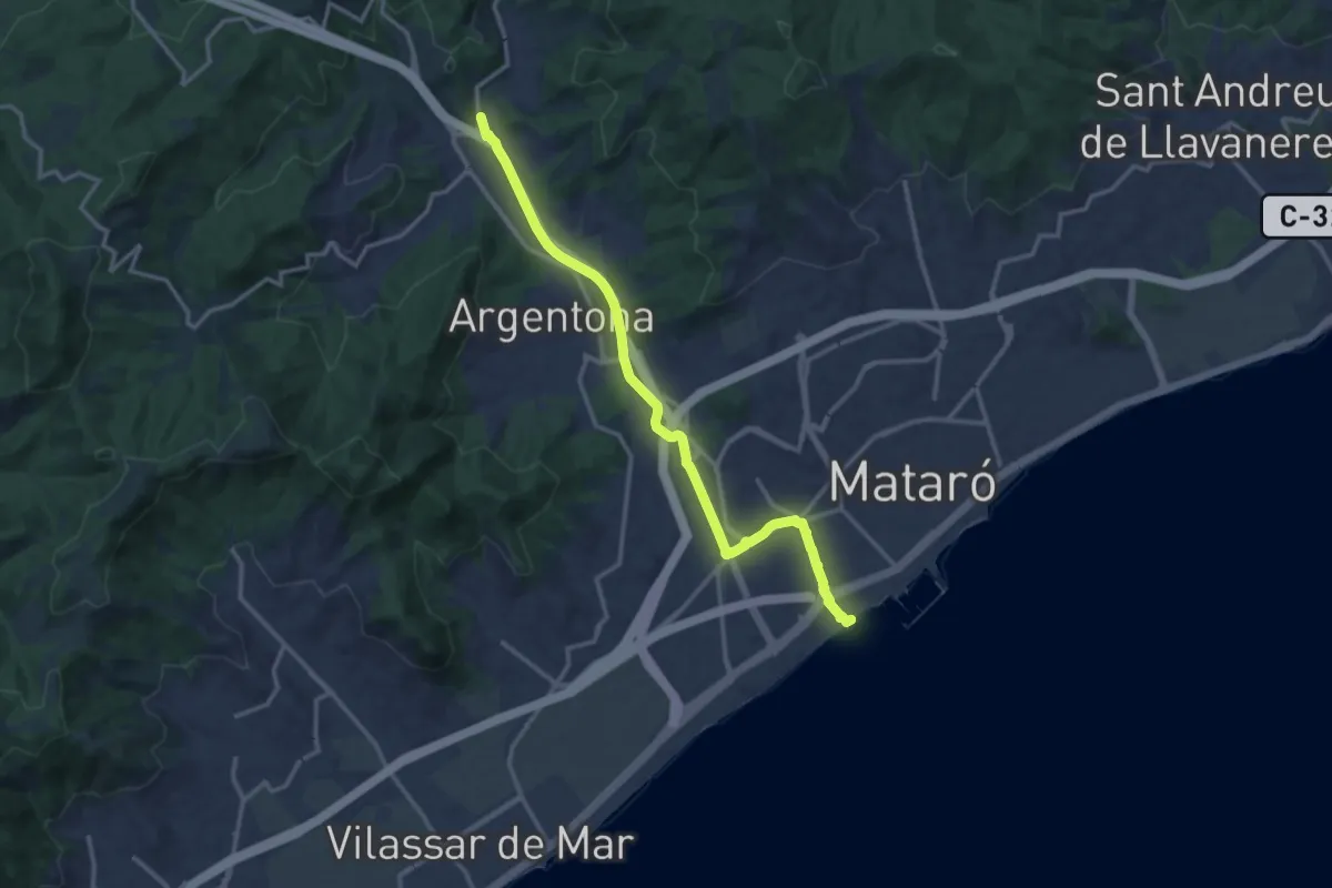
Mataró-Argentona
15.5 km · ↑ 120 m · 3 h 55 min · 15 km away