Trails near Morea / Moreda
25 hikes starting within 15 km, nearest first.
Nearest first
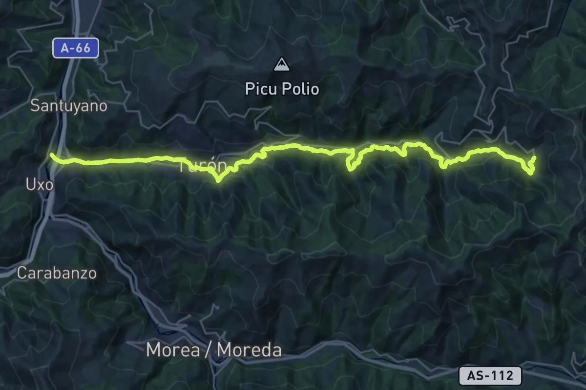
Demanding · Trail
Vía Verde del Valle de Turón
15.6 km · ↑ 805 m · 5 h 27 min · 6 km away
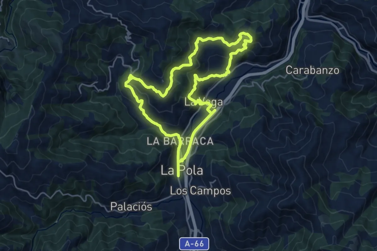
Medium · Trail
Vuelta al valle de La Collá
15.5 km · ↑ 718 m · 5 h 26 min · 6 km away
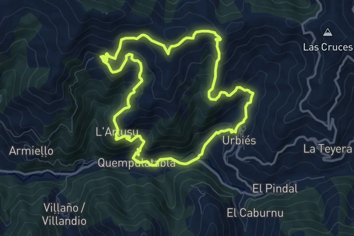
Medium · Summit
Ruta del Cordal de Urbies
8.9 km · ↑ 581 m · 3 h 29 min · 7 km away
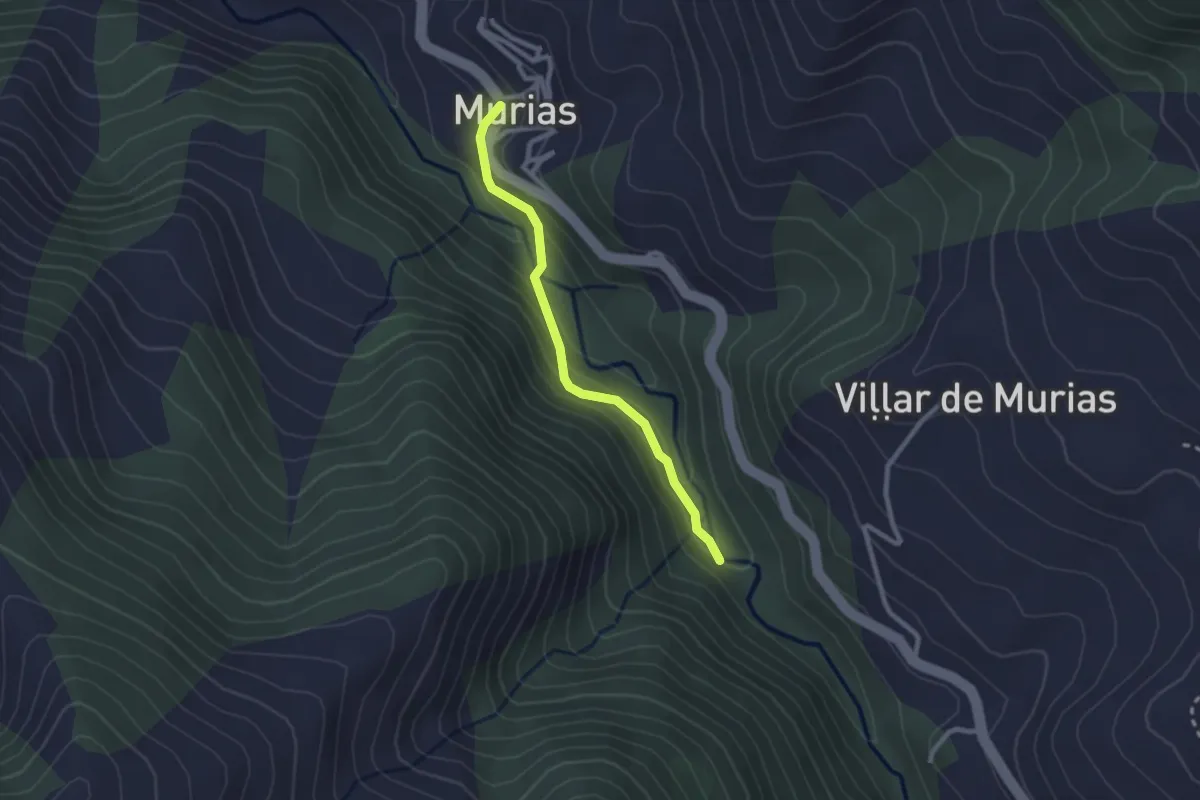
Easy · Trail
Cascada de Xurbeo
2.4 km · ↑ 127 m · 50 min · 7 km away
Medium · Summit
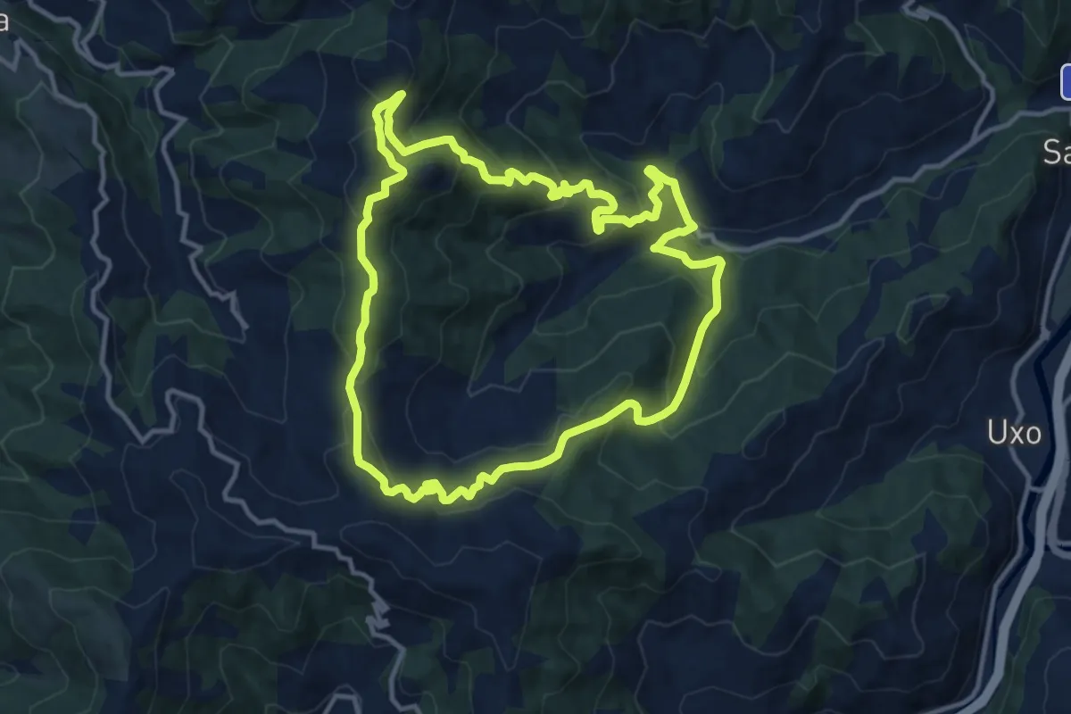
Sendero Valle de Cuna
12.2 km · ↑ 722 m · 4 h 37 min · 9 km away
Demanding · Trail
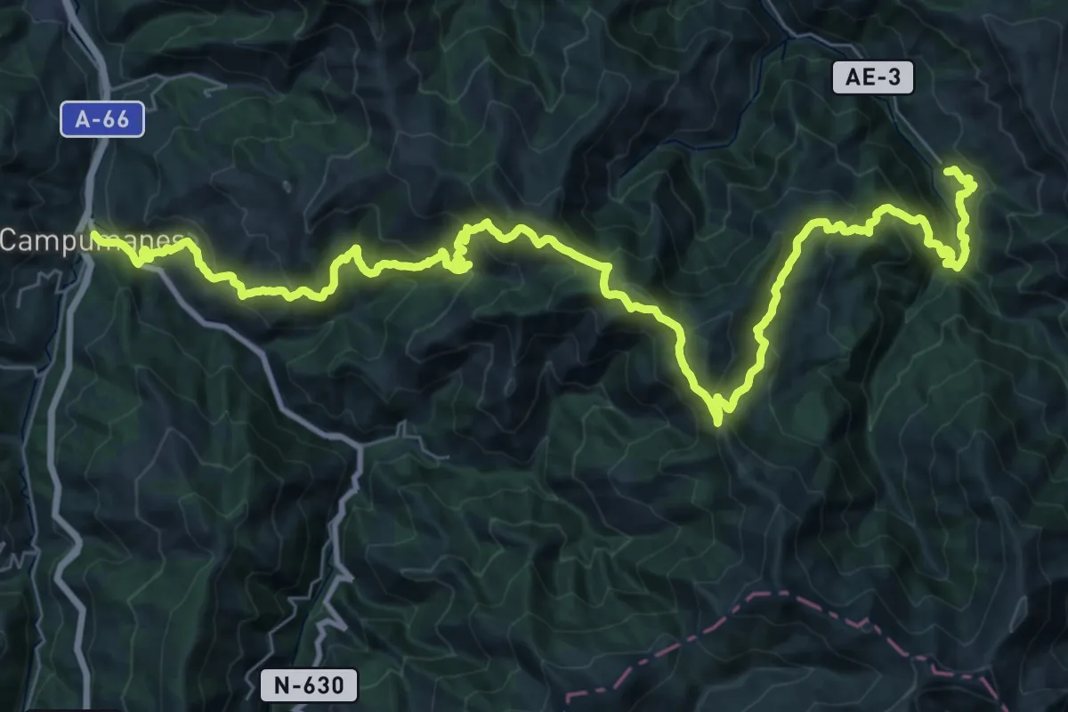
Asturias Interior (Etapa 12)
25.4 km · ↑ 1197 m · 9 h 7 min · 9 km away
Medium · Trail
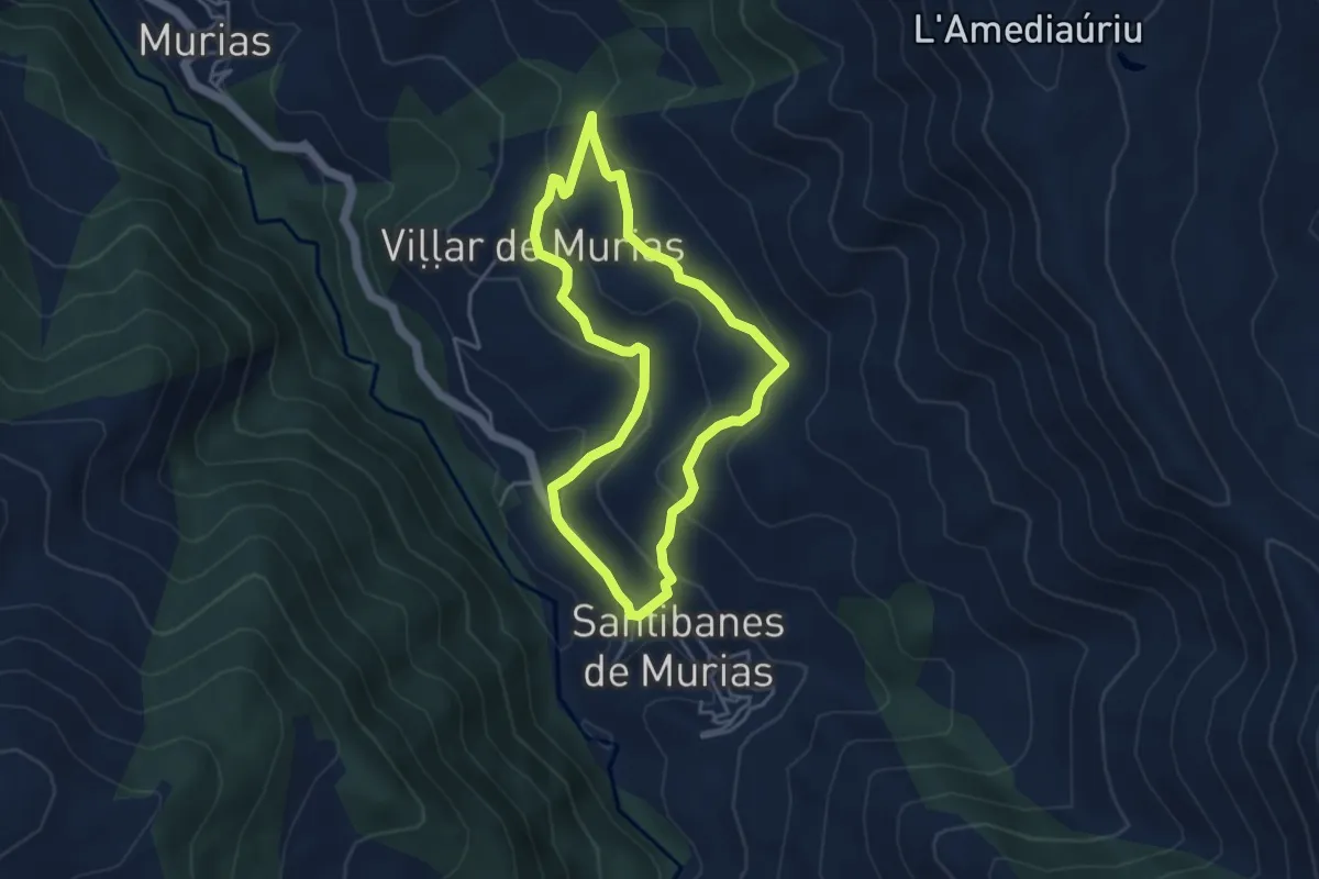
Santibanes - Santibanes
4.0 km · ↑ 209 m · 1 h 27 min · 9 km away
Medium · Trail
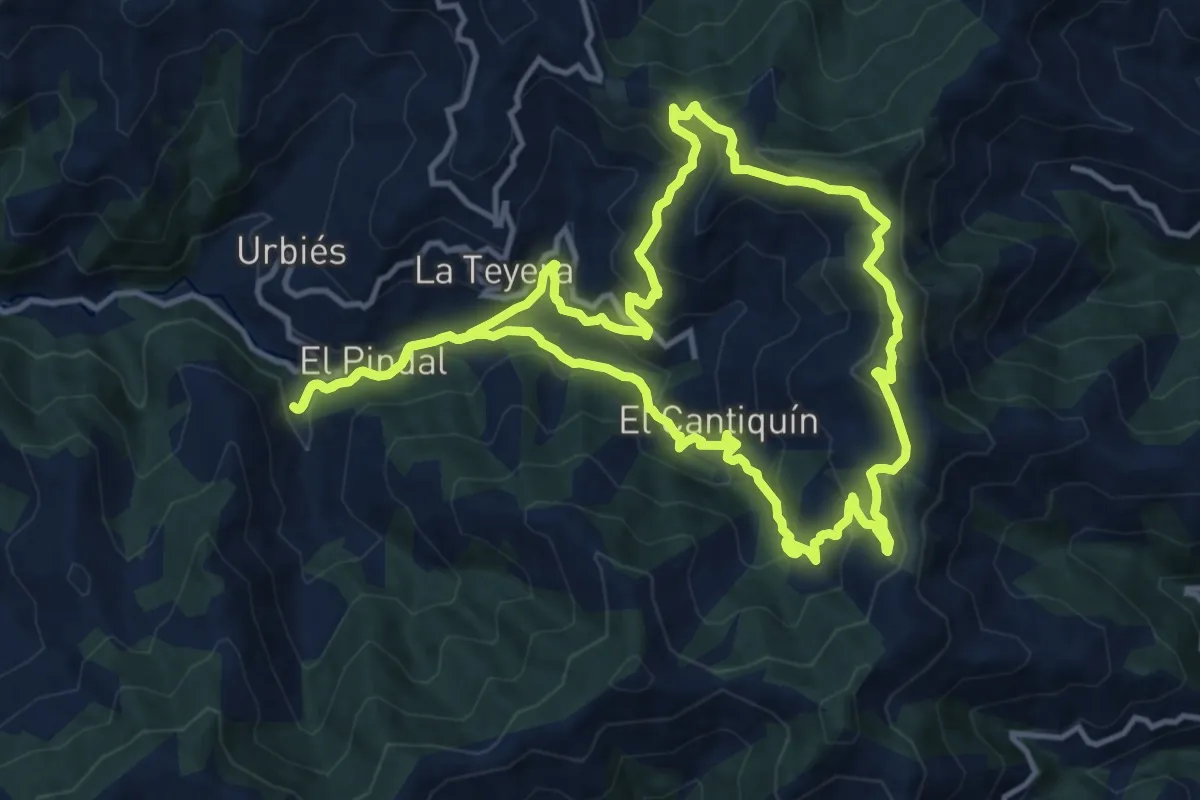
Sierra de Navaliego
13.5 km · ↑ 688 m · 4 h 53 min · 9 km away
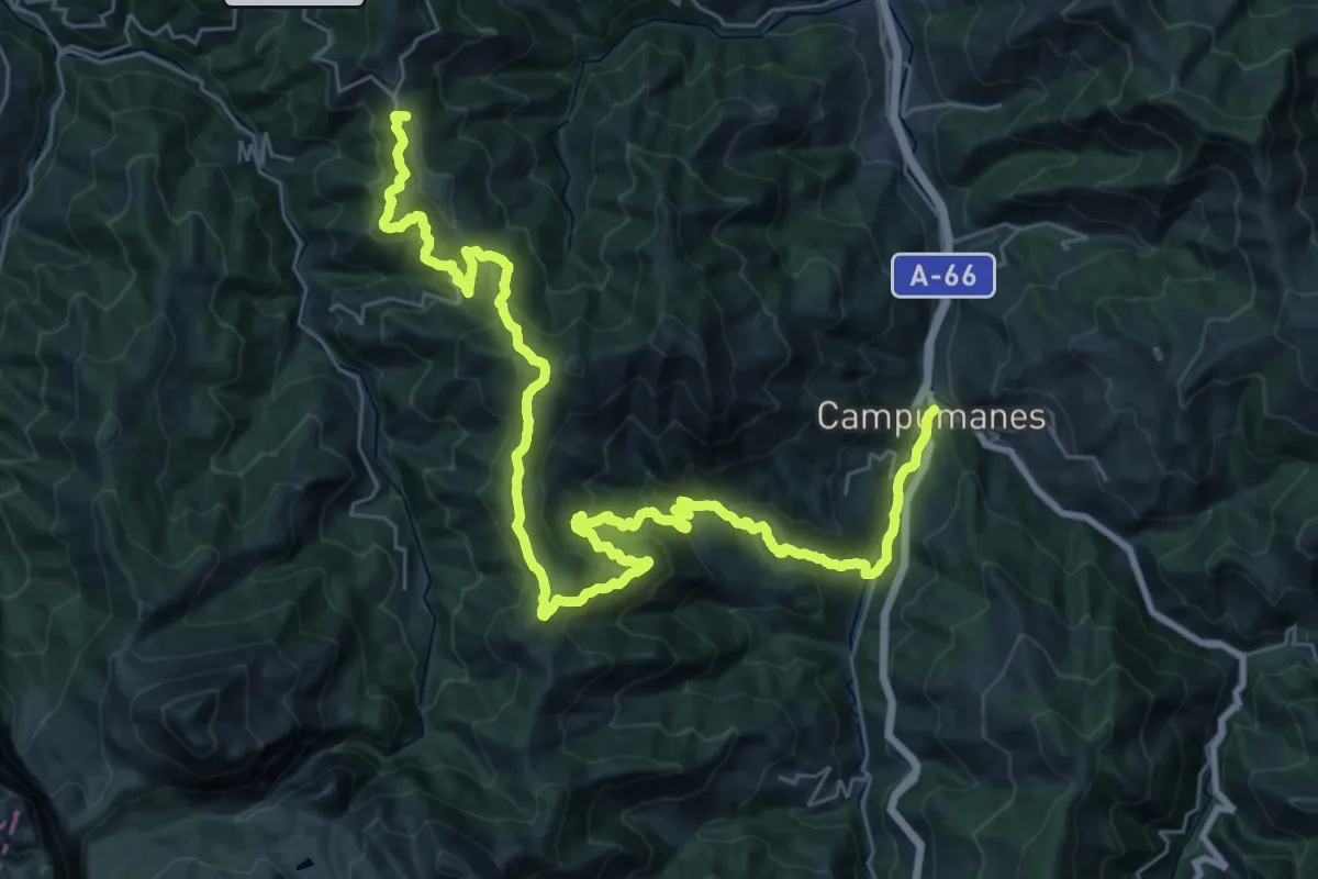
Demanding · Summit
Asturias Interior (Etapa 13)
43.6 km · ↑ 2194 m · 15 h 3 min · 9 km away
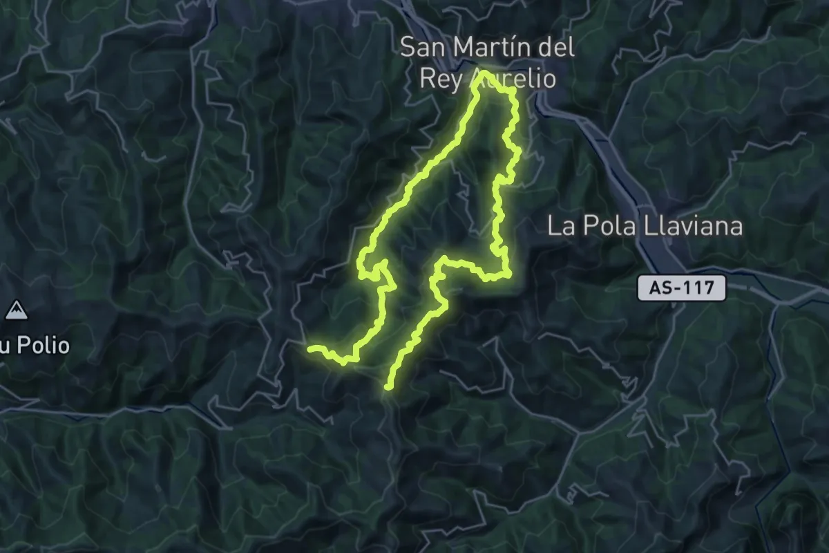
Demanding · Summit
Senda verde Campa Cimera - La Colladiella
43.1 km · ↑ 2318 m · 15 h 11 min · 10 km away
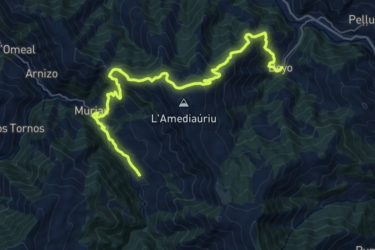
Demanding · Trail
Asturias Interior (Etapa 11)
12.2 km · ↑ 908 m · 4 h 56 min · 11 km away
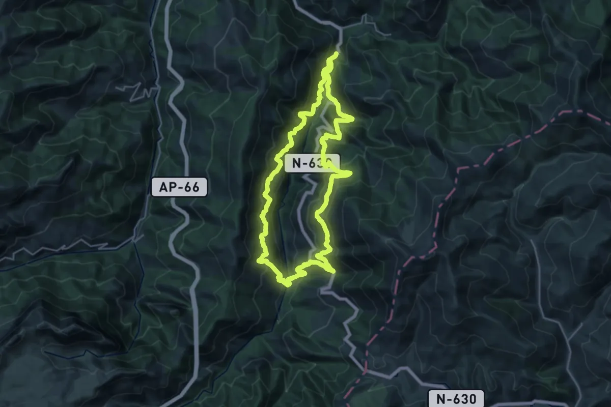
Demanding · Trail
Vuelta al Valle de Payares
20.4 km · ↑ 1329 m · 7 h 59 min · 11 km away
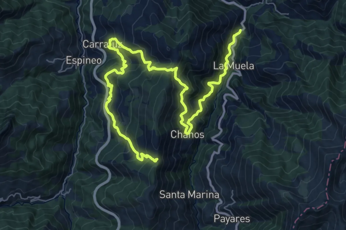
Demanding · Trail
Vuelta al Cordal del Carril
16.8 km · ↑ 1693 m · 7 h 28 min · 11 km away
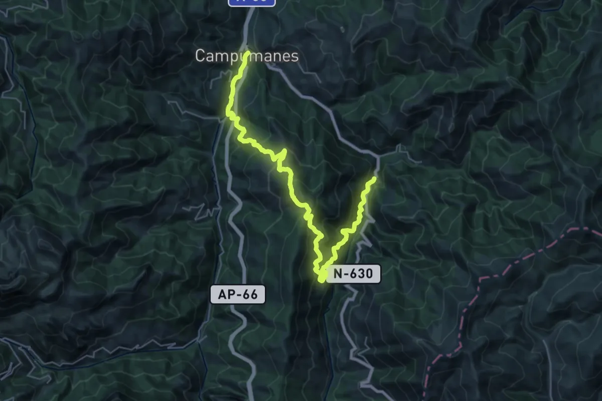
Demanding · Trail
Travesía del Curuchu Braña
15.7 km · ↑ 918 m · 5 h 59 min · 11 km away
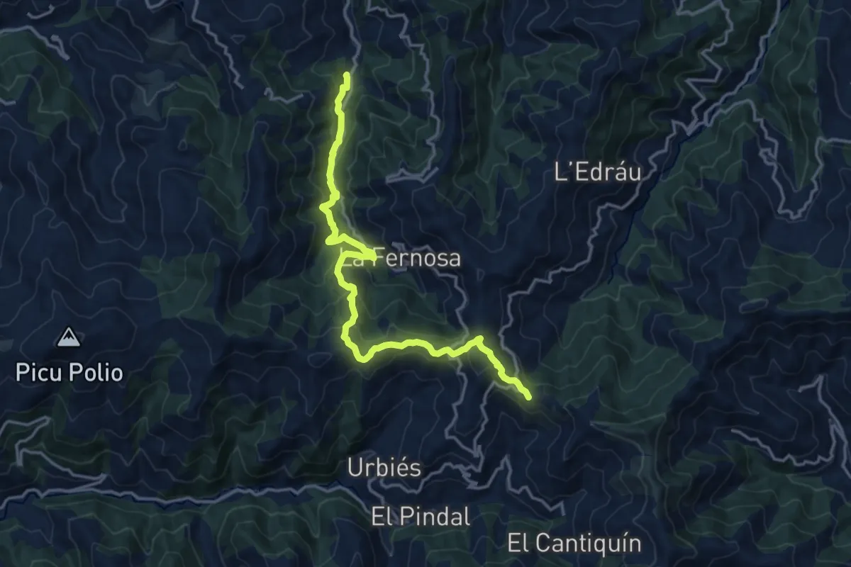
Medium · Summit
Senda Verde Ruta de los Molinos (La Nueva - Colladiella)
16.1 km · ↑ 786 m · 5 h 30 min · 12 km away
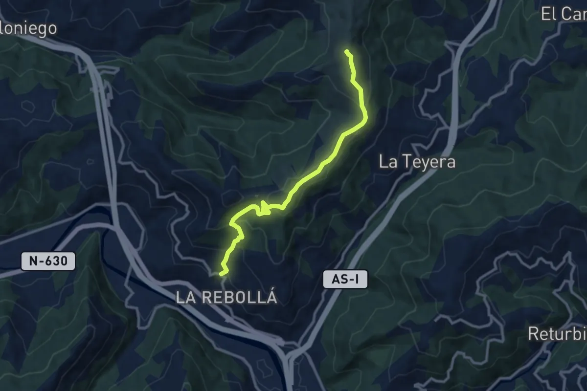
Medium · Summit
Ruta de las Peregrinaciones. Ramal de Mieres
8.9 km · ↑ 548 m · 3 h 17 min · 12 km away
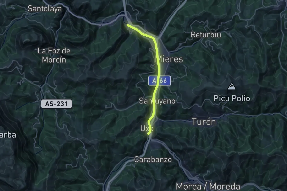
Demanding · Trail
Paseo del Rio Caudal
18.1 km · ↑ 222 m · 4 h 45 min · 13 km away
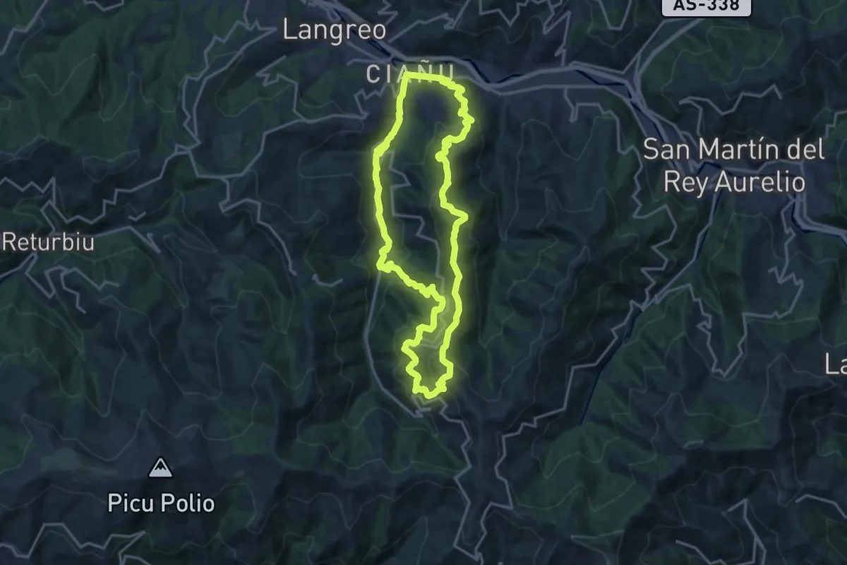
Demanding · Trail
Circular de Ciaño
15.9 km · ↑ 803 m · 5 h 42 min · 13 km away
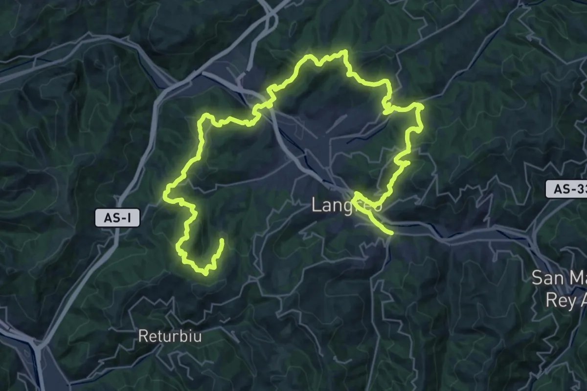
Demanding · Trail
Vuelta a Langreo II
24.3 km · ↑ 977 m · 8 h 17 min · 13 km away
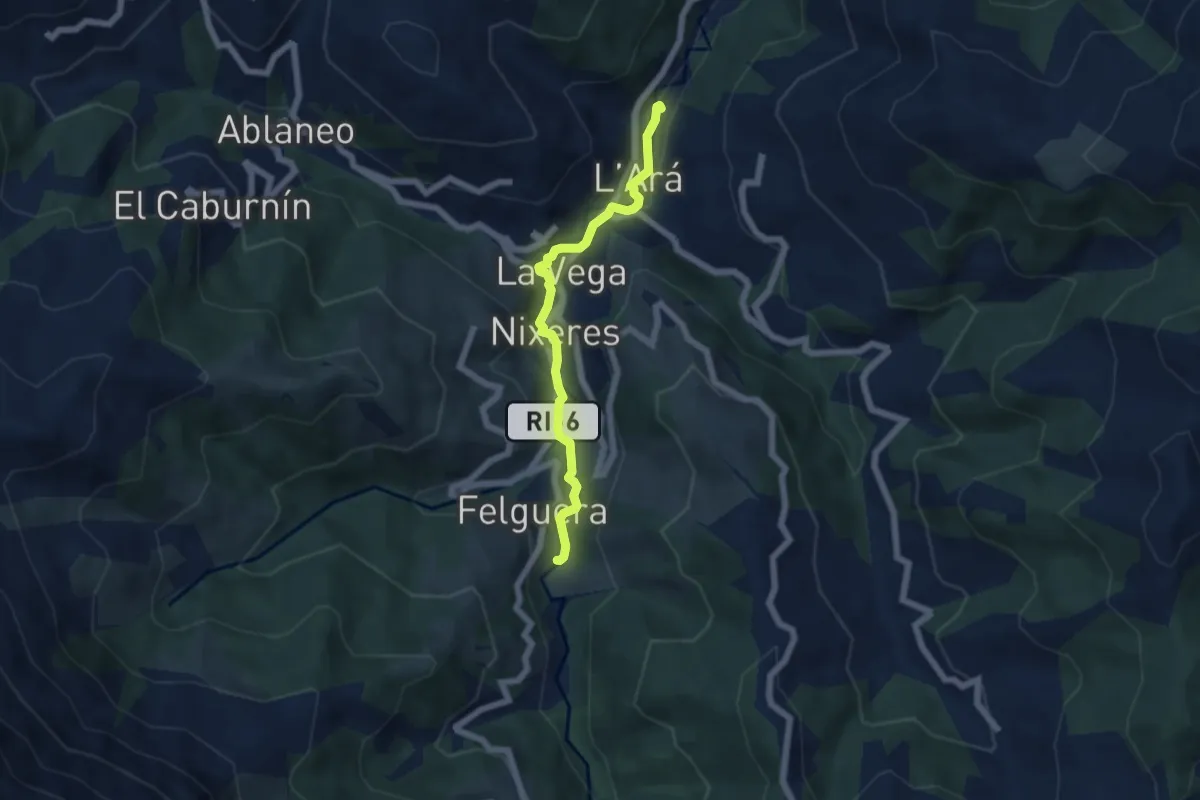
Easy · Trail
Senda Fluvial La Ará - Felguera
5.6 km · ↑ 105 m · 1 h 32 min · 14 km away
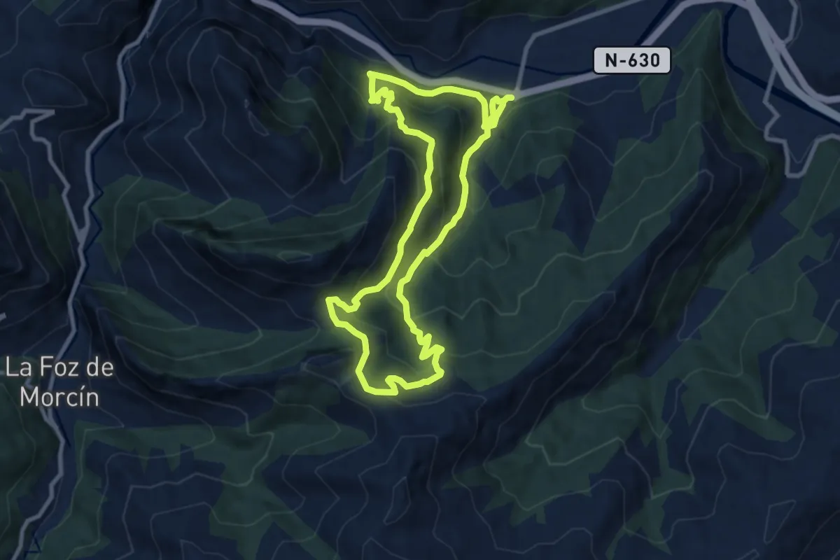
Medium · Trail
Senda del Valle de Lloreo
8.5 km · ↑ 598 m · 3 h 25 min · 14 km away
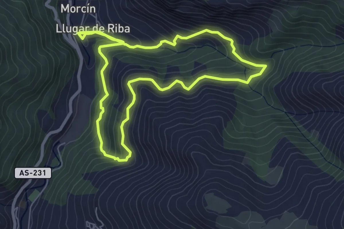
Medium · Trail
Ruta de la Esperanza
5.7 km · ↑ 362 m · 2 h 14 min · 14 km away
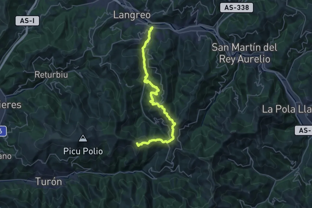
Demanding · Summit
Vuelta a Langreo I
24.0 km · ↑ 1182 m · 8 h 14 min · 14 km away
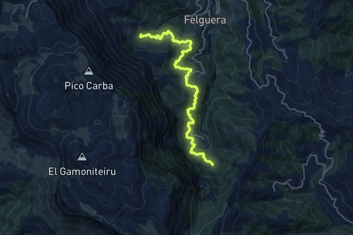
Demanding · Trail
Ruta del Agua
14.6 km · ↑ 849 m · 5 h 17 min · 15 km away
Demanding · Trail
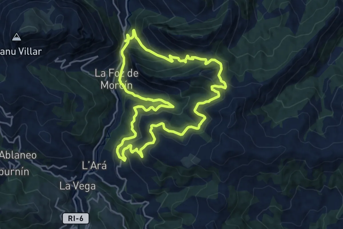
Ruta minera de La Esperanza
13.5 km · ↑ 871 m · 5 h 16 min · 15 km away