Trails near Motril
26 hikes starting within 15 km, nearest first.
Nearest first
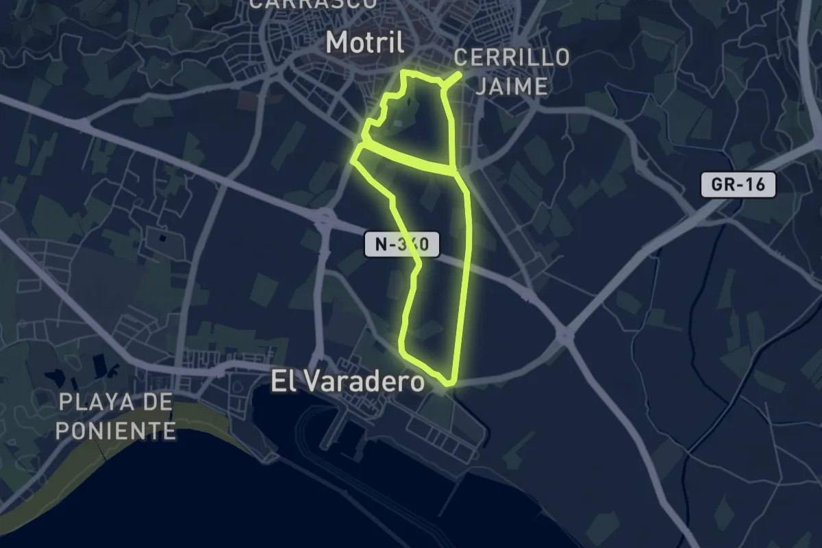
Easy · Trail
Vega de Motril
6.7 km · ↑ 22 m · 1 h 43 min · 1 km away
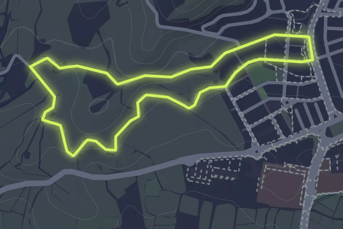
Easy · Trail
Fábricas Azucareras
2.4 km · ↑ 31 m · 39 min · 1 km away
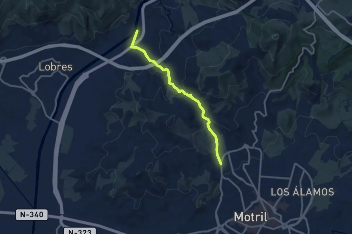
Medium · Trail
Camino de Panata
7.7 km · ↑ 344 m · 2 h 33 min · 1 km away
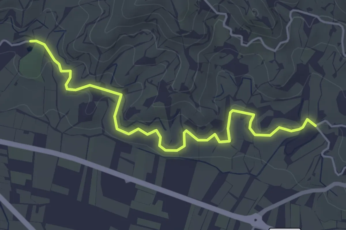
Easy · Trail
Cultivos Subtropicales
5.3 km · ↑ 173 m · 1 h 38 min · 2 km away
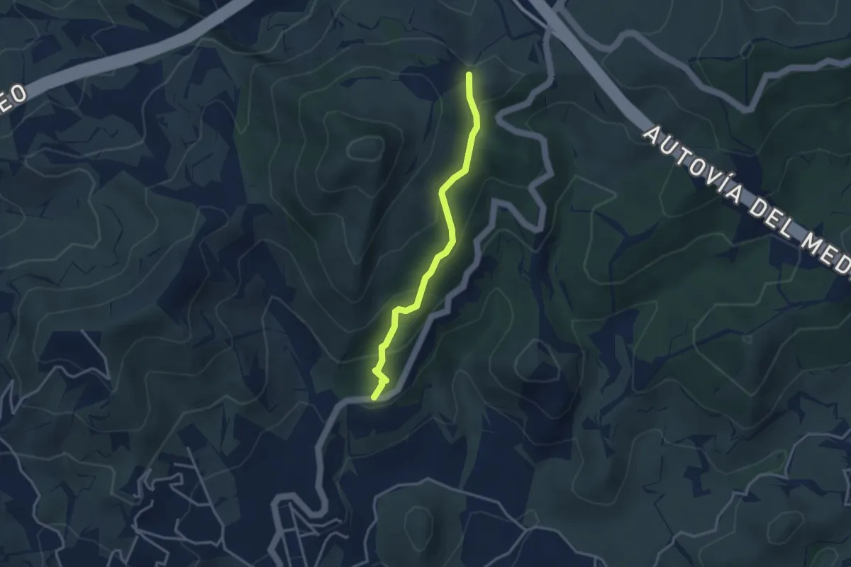
Easy · Trail
Camino Antiguo de Granada
3.4 km · ↑ 200 m · 1 h 14 min · 3 km away
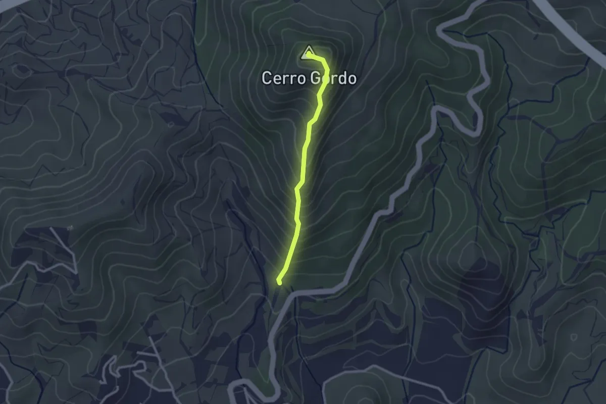
Easy · Summit
Cumbre del Cerro Gordo
2.4 km · ↑ 262 m · 1 h 8 min · 3 km away
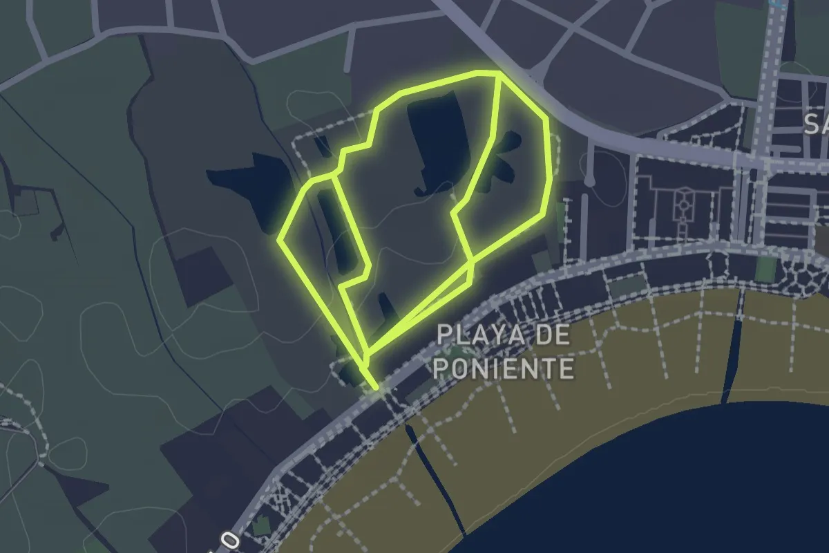
Easy · Trail
Las Lagunas
2.4 km · ↑ 0 m · 36 min · 3 km away
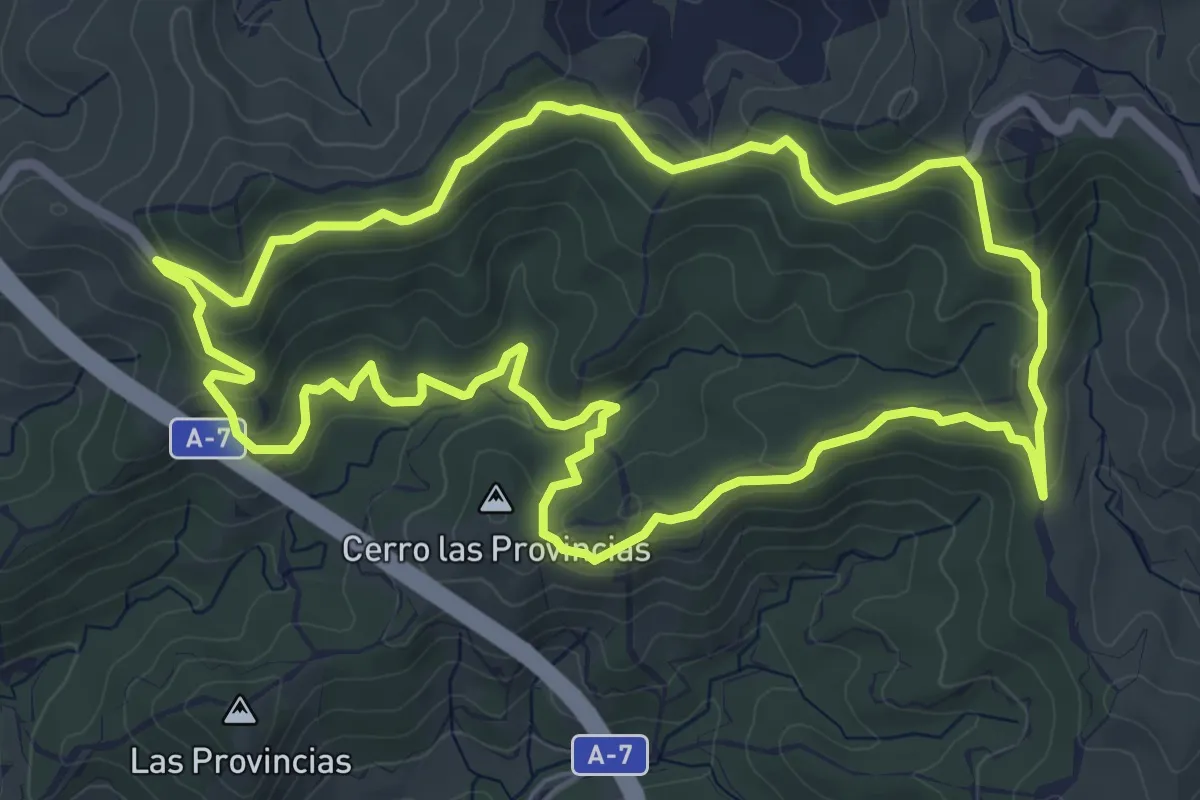
Easy · Summit
Fuente de la Bullarenga
7.4 km · ↑ 272 m · 2 h 26 min · 5 km away
Easy · Trail
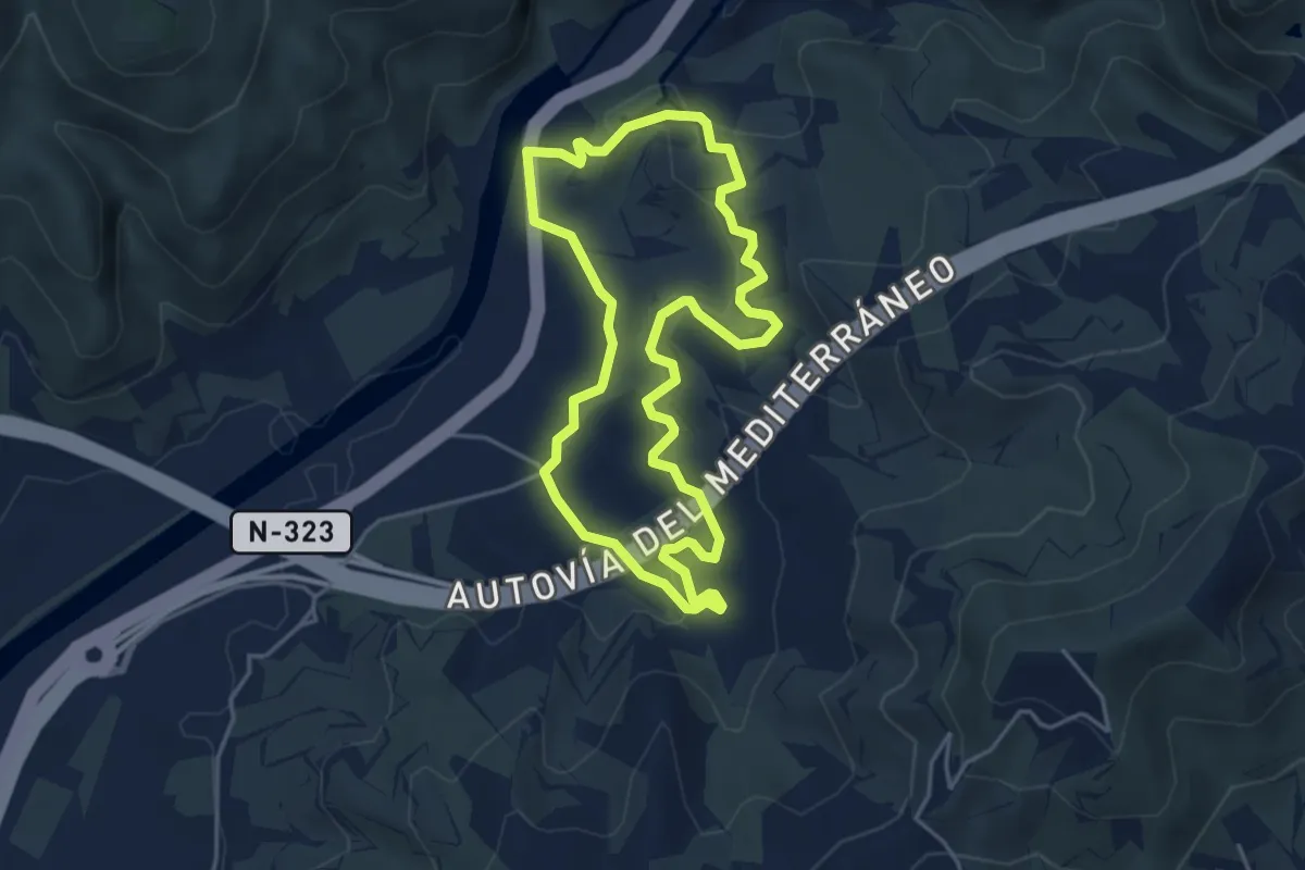
Azud de los Vados
4.8 km · ↑ 172 m · 1 h 34 min · 5 km away
Easy · Trail
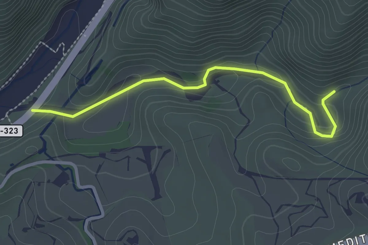
Rambla de Cañizares
2.8 km · ↑ 98 m · 53 min · 5 km away
Medium · Trail
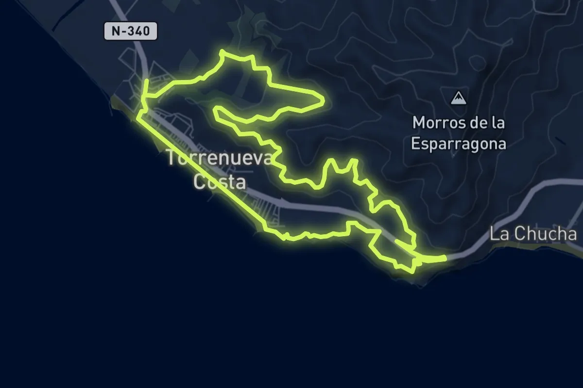
Miradores y Acantilados de Torrenueva Costa
10.1 km · ↑ 330 m · 3 h 14 min · 5 km away
Easy · Trail
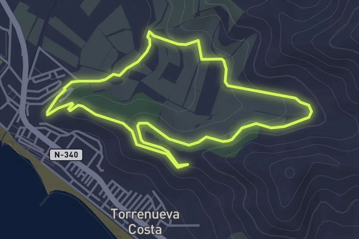
El Maraute
3.9 km · ↑ 116 m · 1 h 14 min · 5 km away
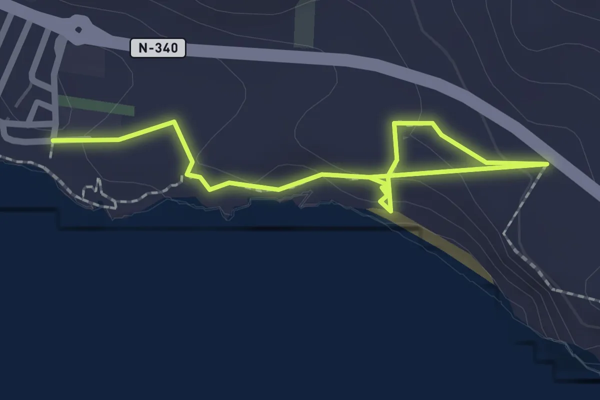
Easy · Trail
Acantilados Sacratif
2.8 km · ↑ 92 m · 52 min · 6 km away
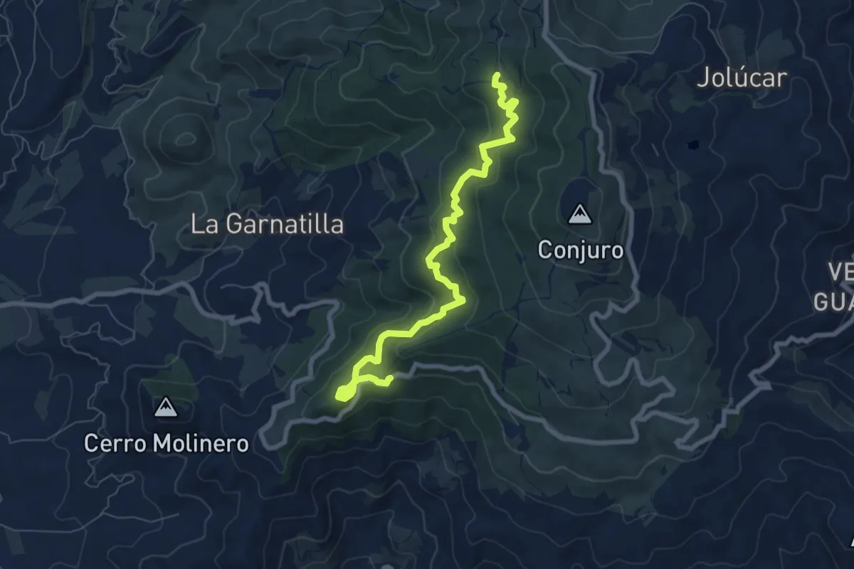
Medium · Trail
Sierra del Conjuro
8.9 km · ↑ 494 m · 3 h 10 min · 9 km away
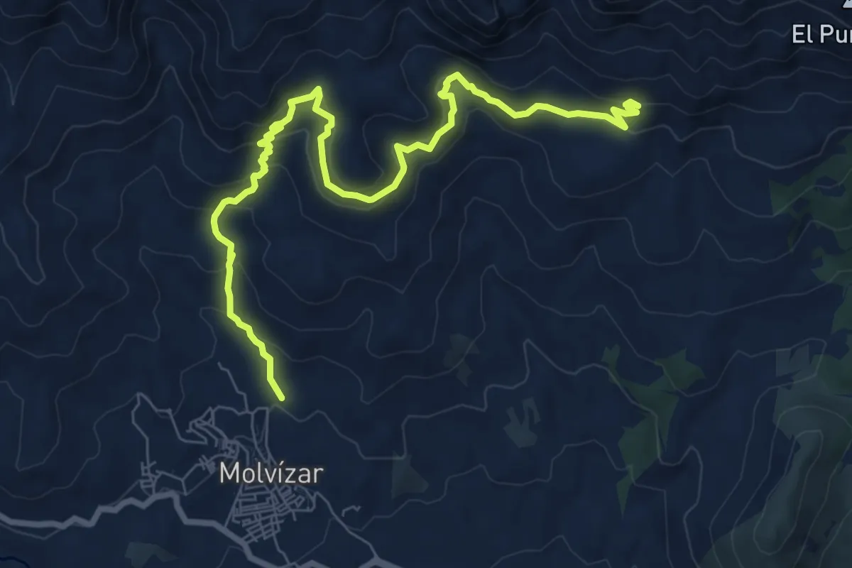
Easy · Trail
Sierra del Chaparral
5.3 km · ↑ 169 m · 1 h 50 min · 9 km away
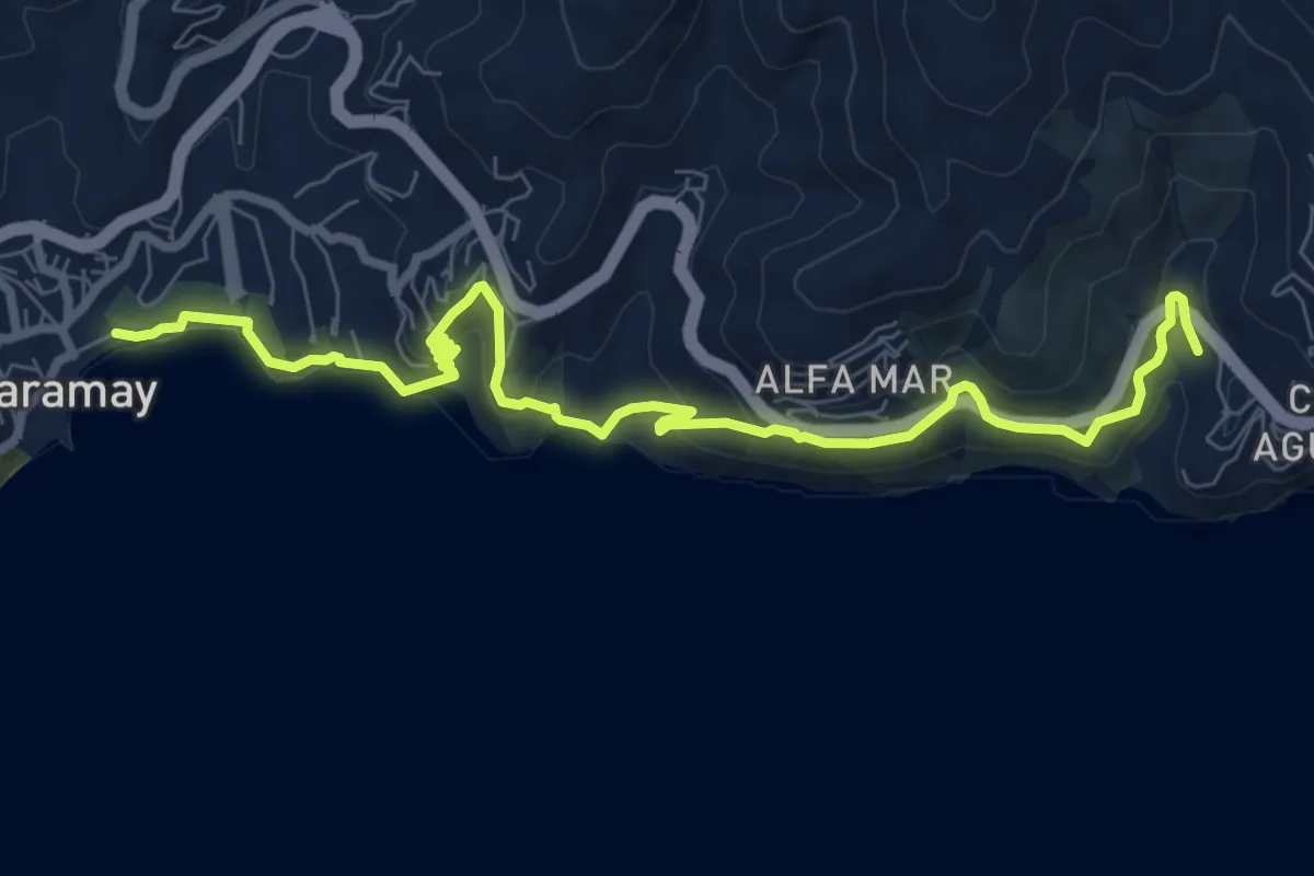
Demanding · Trail
Senda del Mediterraneo
10.7 km · ↑ 580 m · 3 h 47 min · 9 km away
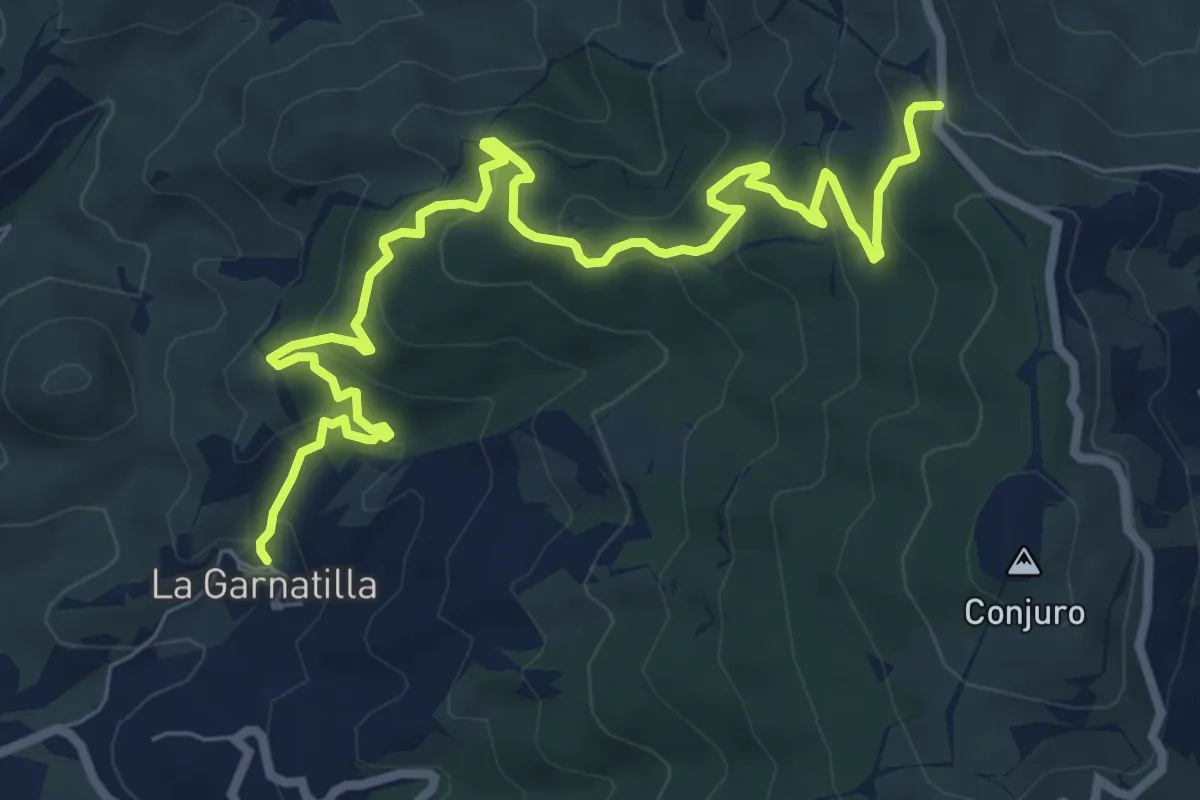
Medium · Trail
Garnatilla-Alcántara
10.6 km · ↑ 628 m · 3 h 52 min · 9 km away
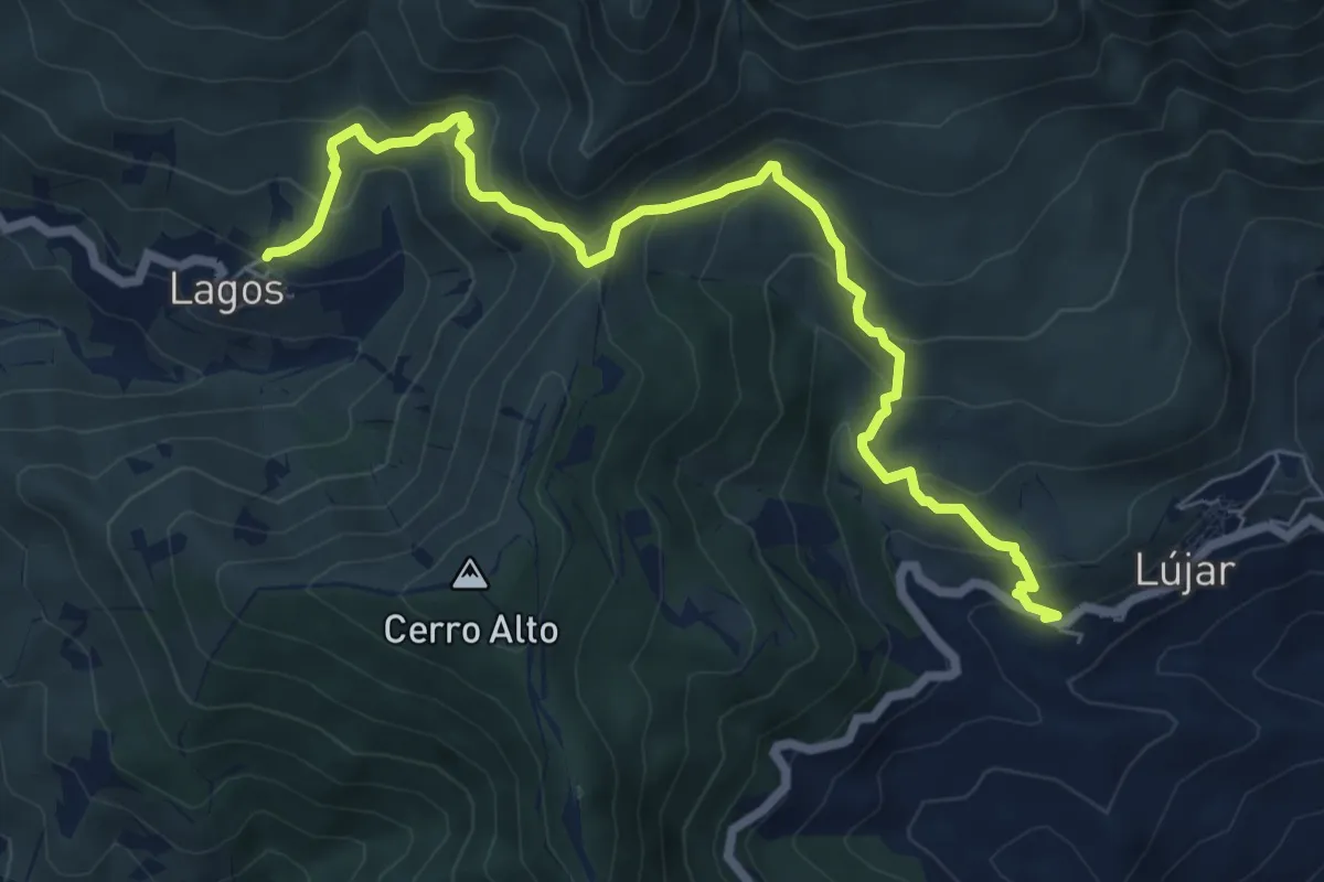
Medium · Trail
Sendero Lújar - Lagos
8.8 km · ↑ 632 m · 3 h 27 min · 9 km away
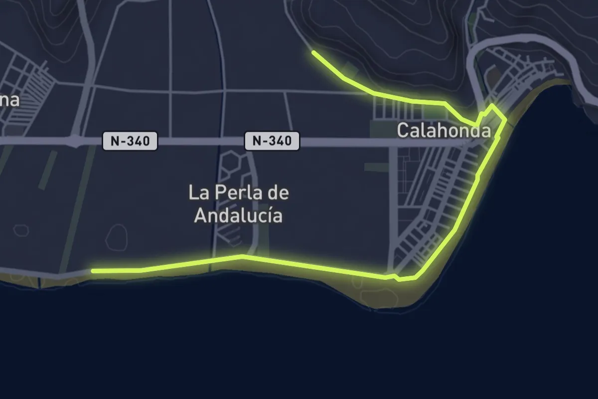
Easy · Trail
La Defensa Costera
6.7 km · ↑ 32 m · 1 h 40 min · 10 km away
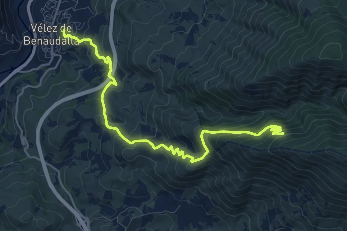
Medium · Trail
SL-A 285 Mina de la Raja
14.0 km · ↑ 795 m · 5 h 2 min · 10 km away
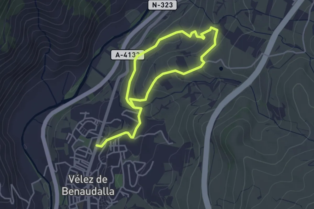
Easy · Trail
Ruta de las Torcas
3.2 km · ↑ 106 m · 1 h 1 min · 10 km away
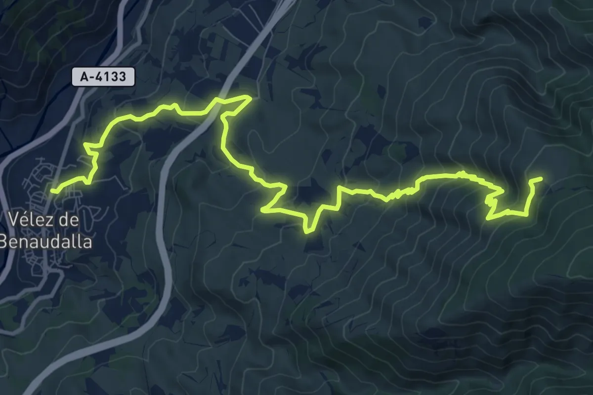
Demanding · Trail
Ruta de la Haza del Señor o Sendero de las Minas
15.8 km · ↑ 948 m · 5 h 46 min · 11 km away
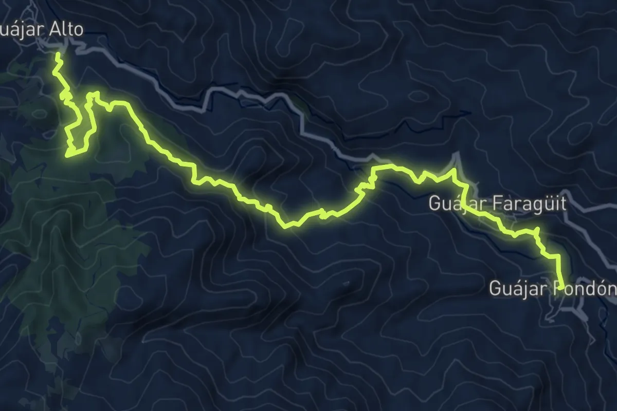
Demanding · Trail
SL-A 53 Río de la Toba
15.9 km · ↑ 1028 m · 5 h 59 min · 11 km away
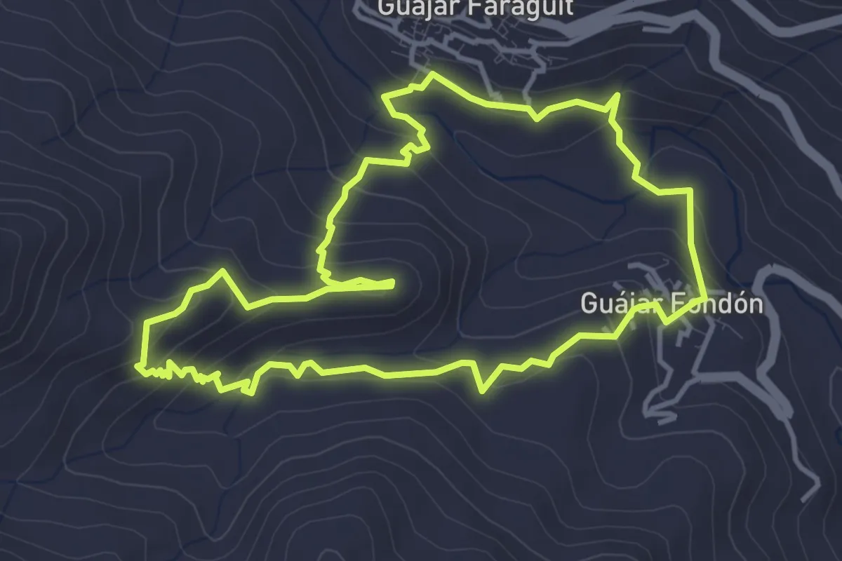
Easy · Trail
SL-A 52 Sendero "El Castillejo"
4.5 km · ↑ 288 m · 1 h 45 min · 11 km away
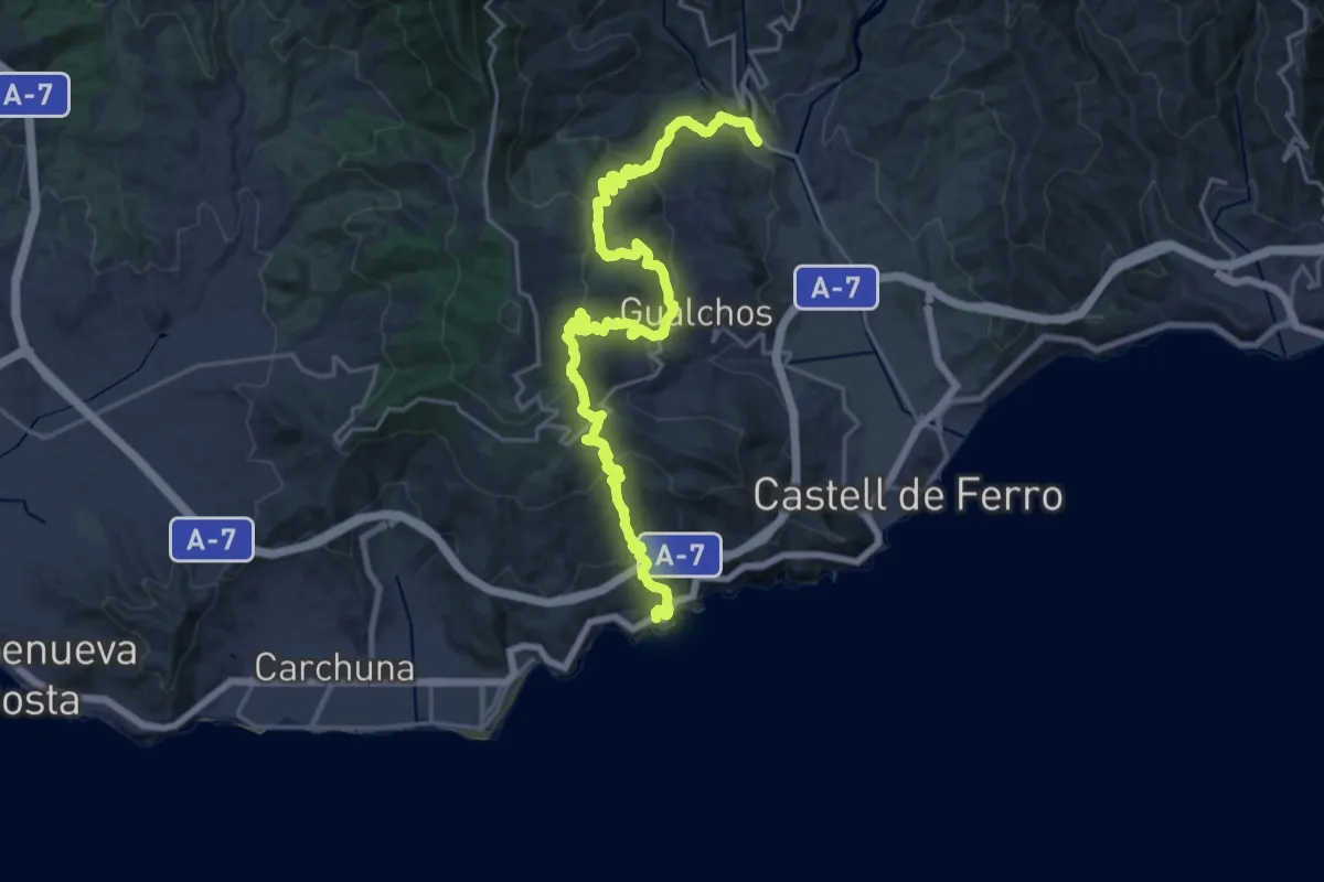
Demanding · Trail
La Rijana-Rambla de Gualchos
14.3 km · ↑ 900 m · 5 h 29 min · 12 km away
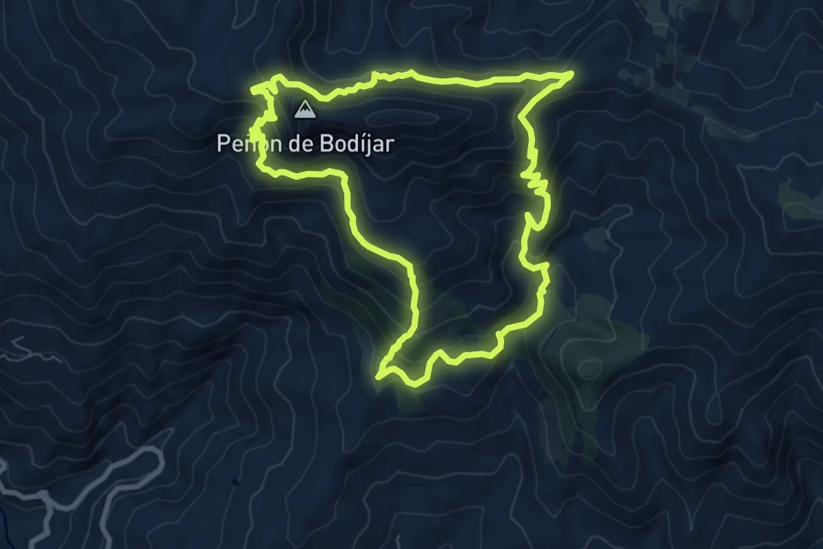
Medium · Summit
Nacimiento río Ítrabo-Picacho Bodíjaras
8.9 km · ↑ 640 m · 3 h 36 min · 13 km away