Trails near O Porriño
17 hikes starting within 15 km, nearest first.
Nearest first
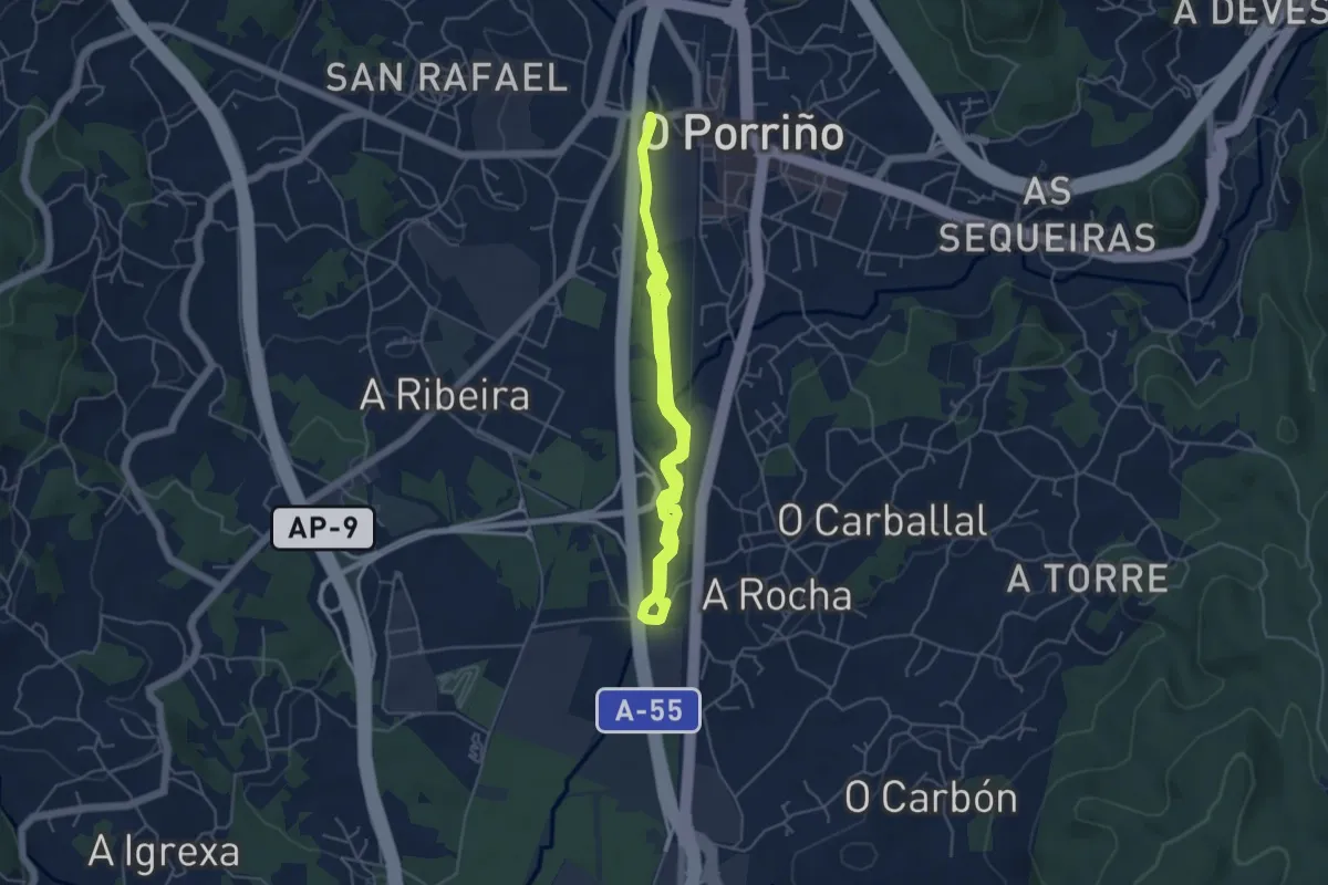
Easy · Trail
Paseo do Louro
7.8 km · ↑ 8 m · 1 h 52 min · 1 km away
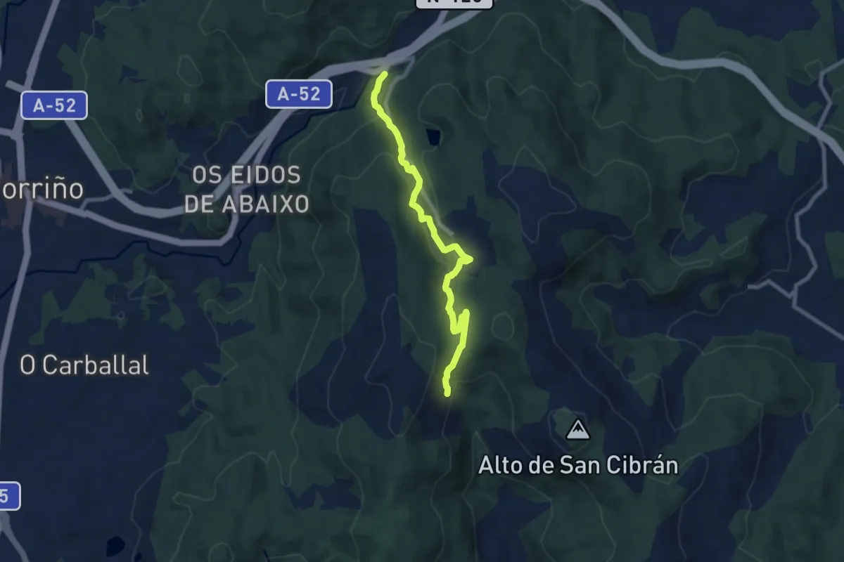
Easy · Trail
Ruta dos Montes de San Cibrán
7.9 km · ↑ 264 m · 2 h 27 min · 3 km away
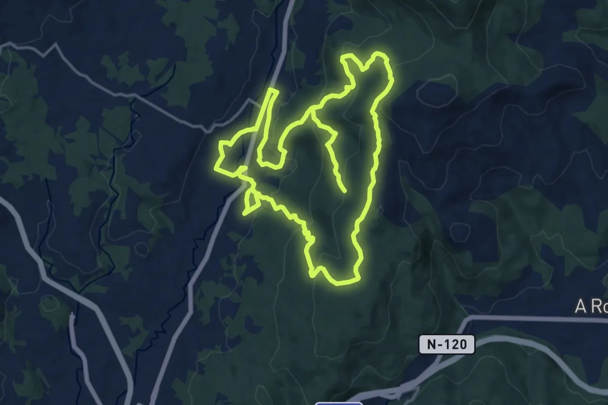
Medium · Trail
Sendeiro histórico de Mos
14.1 km · ↑ 418 m · 4 h 29 min · 4 km away
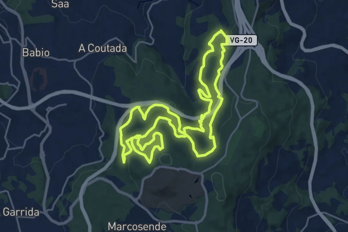
Medium · Trail
Sendeiro Local de Bembrive-Beade
14.4 km · ↑ 576 m · 4 h 51 min · 6 km away
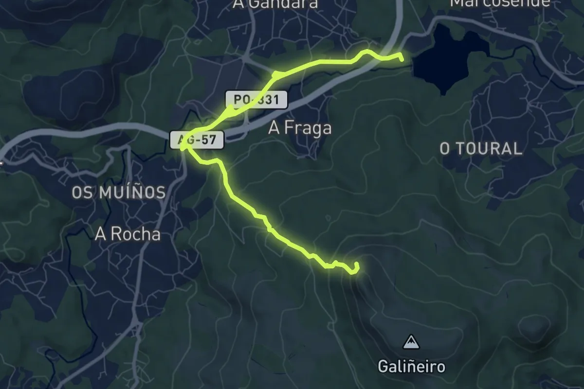
Medium · Summit
Circular do Galiñeiro
11.6 km · ↑ 467 m · 3 h 45 min · 7 km away
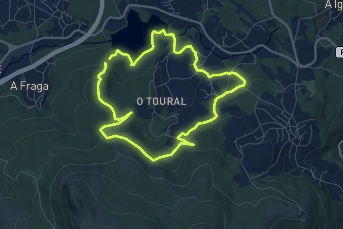
Easy · Trail
Sendeiro Local de Zamáns
7.1 km · ↑ 212 m · 2 h 14 min · 7 km away
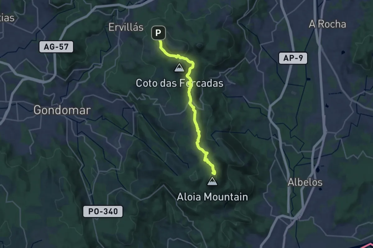
Medium · Summit
Galiñeiro-Aloia
17.4 km · ↑ 557 m · 5 h 19 min · 8 km away
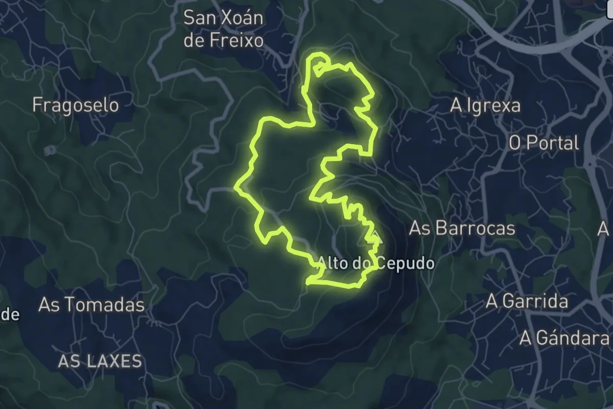
Easy · Summit
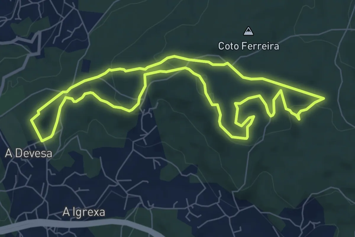
Sendeiro Local de Valadares
7.9 km · ↑ 297 m · 2 h 37 min · 10 km away
Easy · Trail
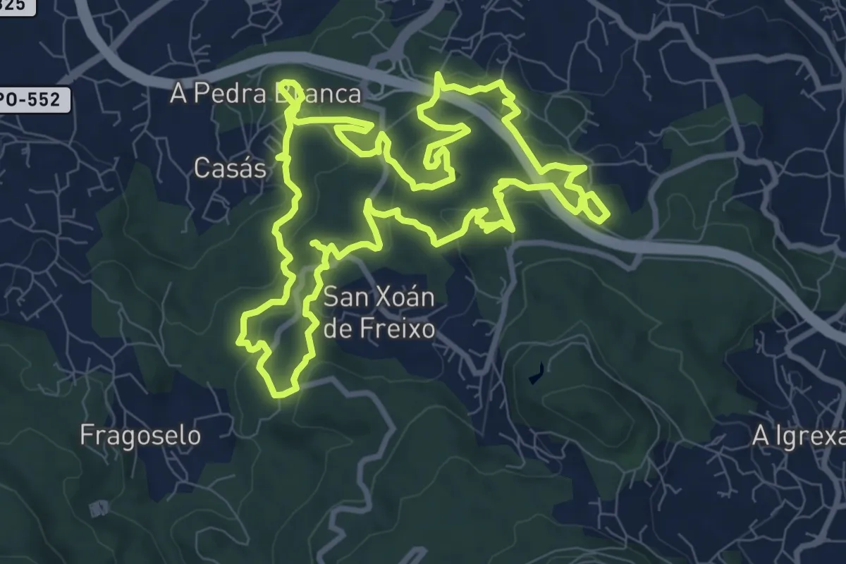
Sendeiro Local de Candeán
7.2 km · ↑ 176 m · 2 h 11 min · 10 km away
Medium · Summit
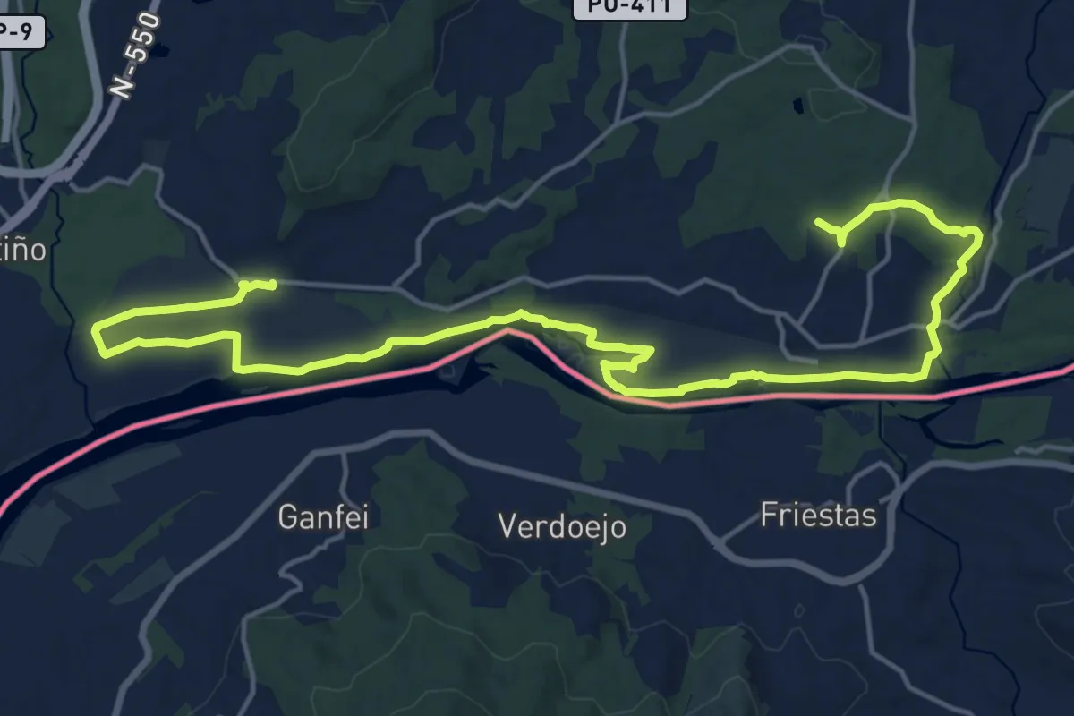
Sendeiro Local de Matamá-Comesaña
10.5 km · ↑ 403 m · 3 h 29 min · 11 km away
Demanding · Trail
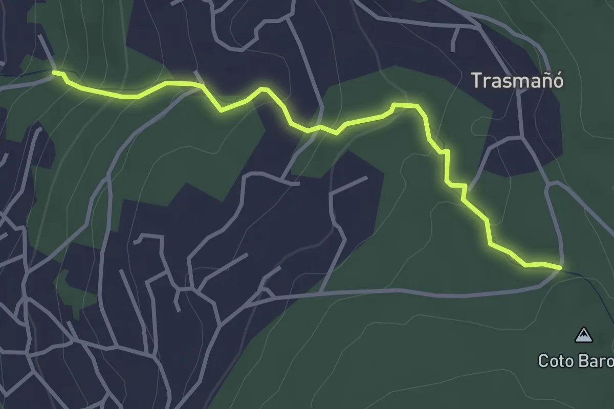
Tui - Caldelas - Tui
23.8 km · ↑ 174 m · 6 h · 11 km away
Easy · Trail
Camiño dos Muíños do Rego Fondón
3.5 km · ↑ 215 m · 1 h 17 min · 12 km away
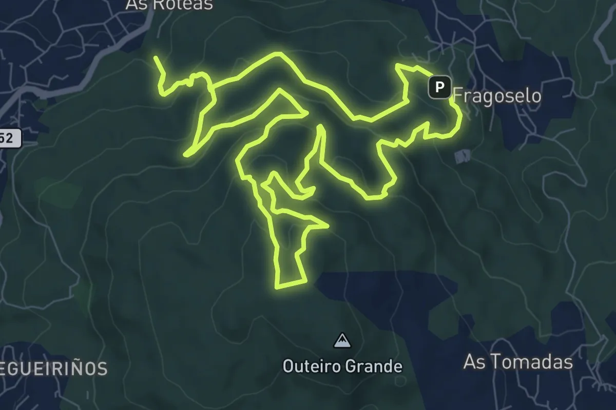
Medium · Summit
Sendeiro Local de Coruxo
10.1 km · ↑ 483 m · 3 h 35 min · 12 km away
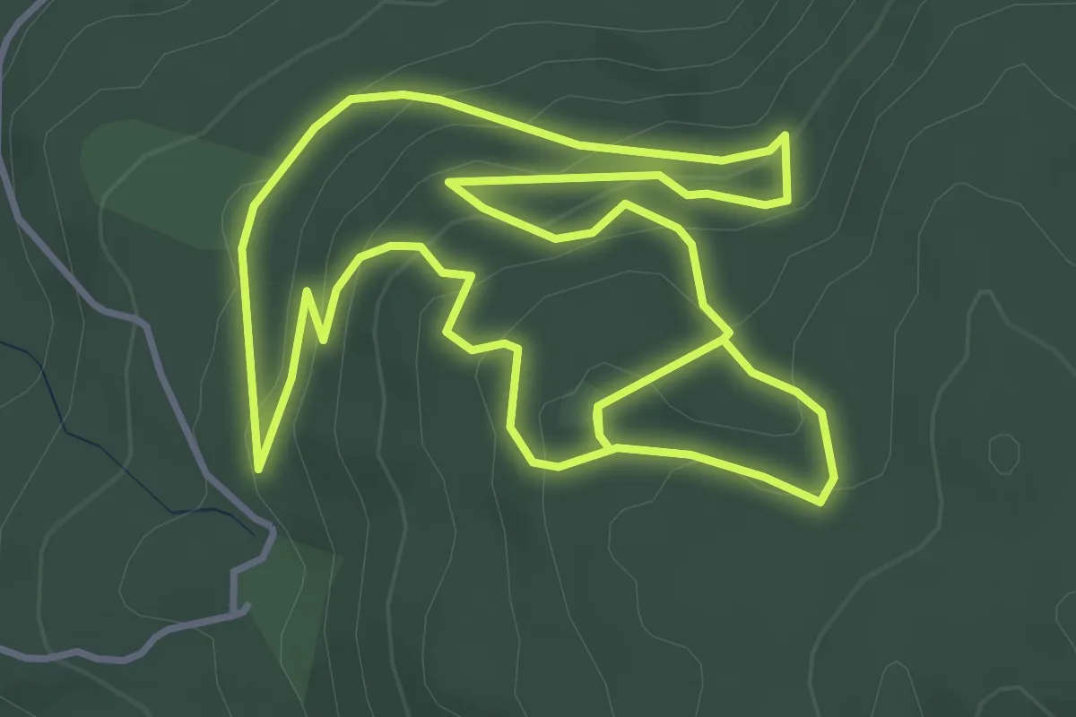
Easy · Summit
Sendeiro Local de Oia
4.5 km · ↑ 235 m · 1 h 38 min · 14 km away
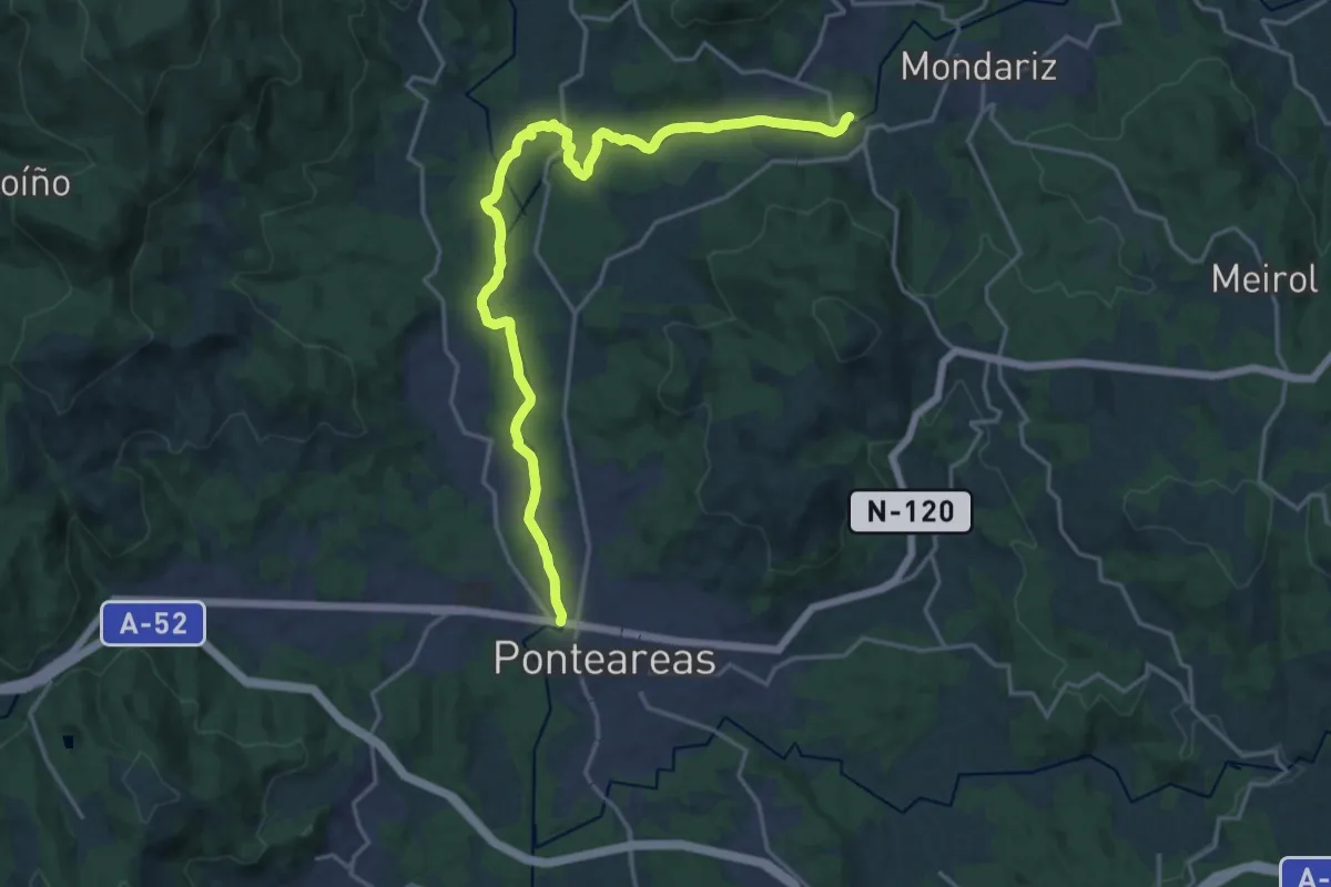
Demanding · Trail
Sendero del río Tea
21.9 km · ↑ 287 m · 5 h 47 min · 14 km away
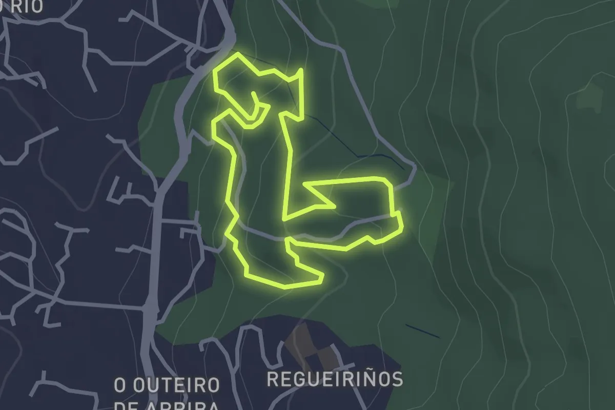
Easy · Trail
Sendeiro Local de Saiáns
2.9 km · ↑ 155 m · 1 h 4 min · 15 km away
Easy · Trail
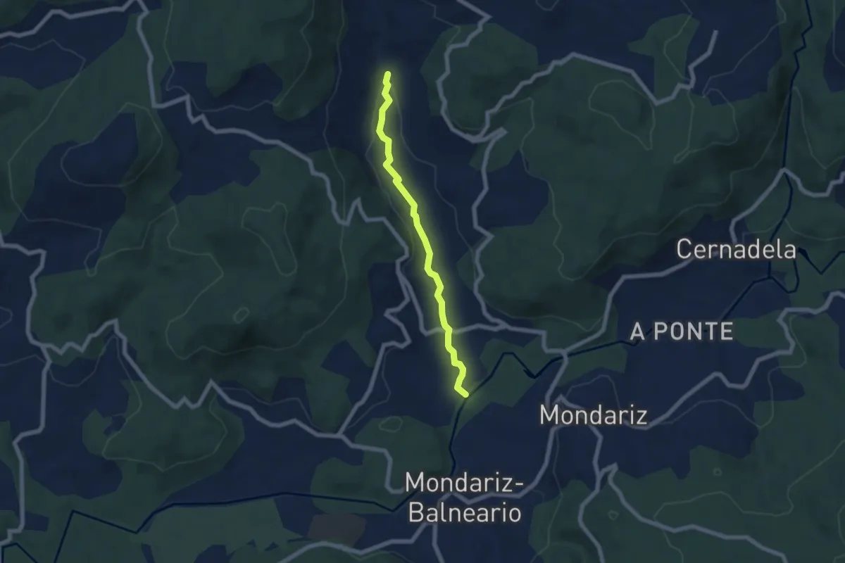
Sendeiro do río Aboal
5.9 km · ↑ 55 m · 1 h 31 min · 15 km away