Trails near Oviedo / Uviéu
24 hikes starting within 15 km, nearest first.
Nearest first
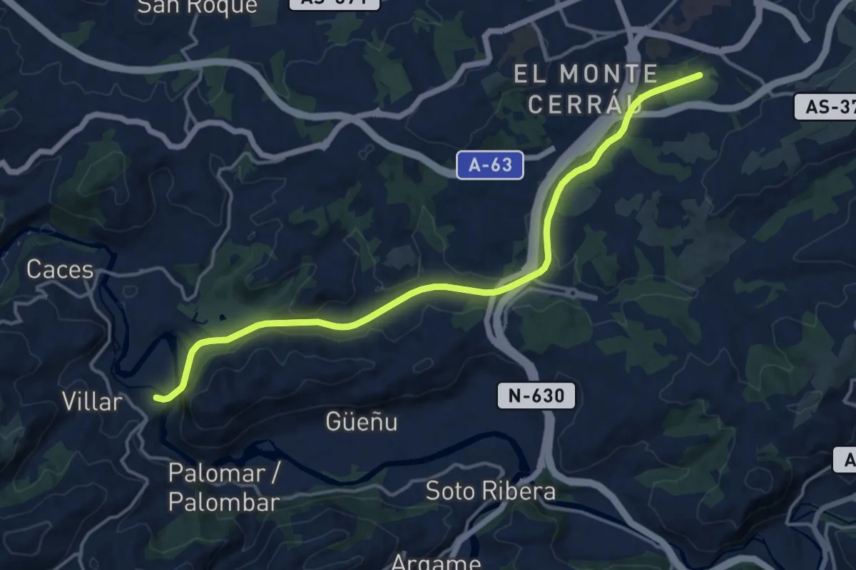
Medium · Trail
Vía Verde Oviedo - Fuso de la Reina (peatonal)
16.5 km · ↑ 225 m · 4 h 22 min · 1 km away
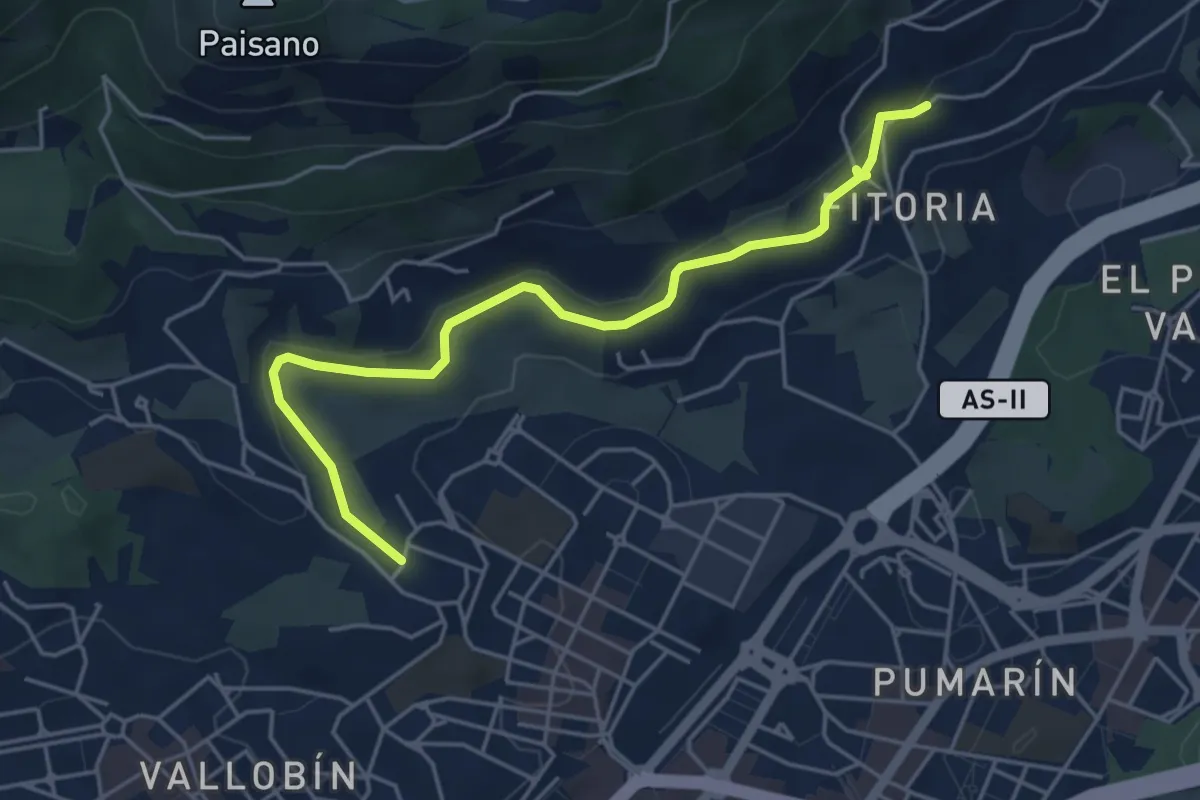
Easy · Trail
Pista Finlandesa
5.3 km · ↑ 109 m · 1 h 29 min · 1 km away
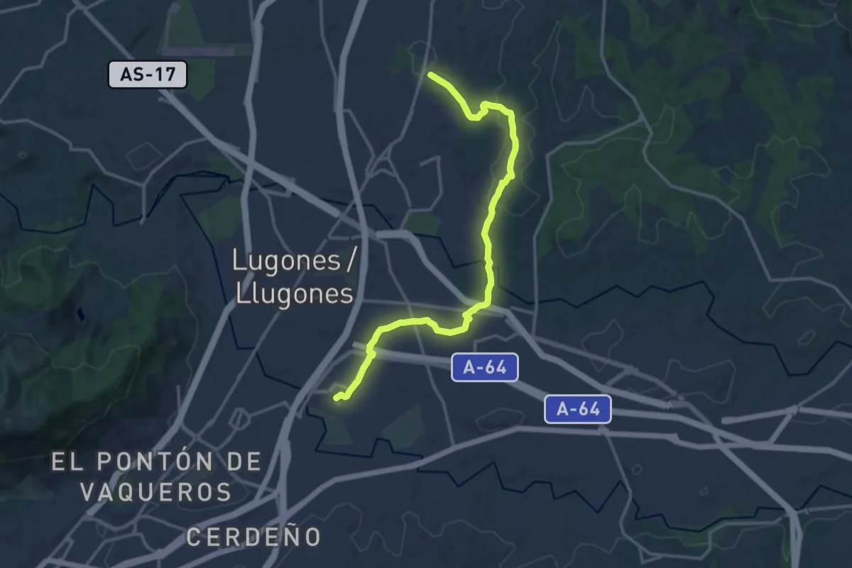
Medium · Trail
La Belga - Viella - Parque Periurbano de Les Folgueres
15.1 km · ↑ 205 m · 4 h · 5 km away
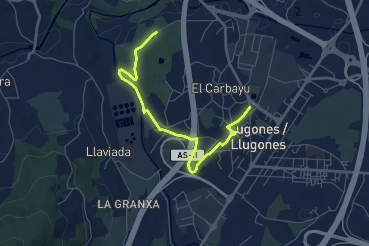
Easy · Trail
Senda de La Acebera
6.2 km · ↑ 41 m · 1 h 34 min · 6 km away
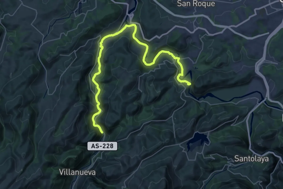
Medium · Trail
Senda Verde Fuso de la Reina - Tuñon
16.2 km · ↑ 389 m · 4 h 51 min · 8 km away
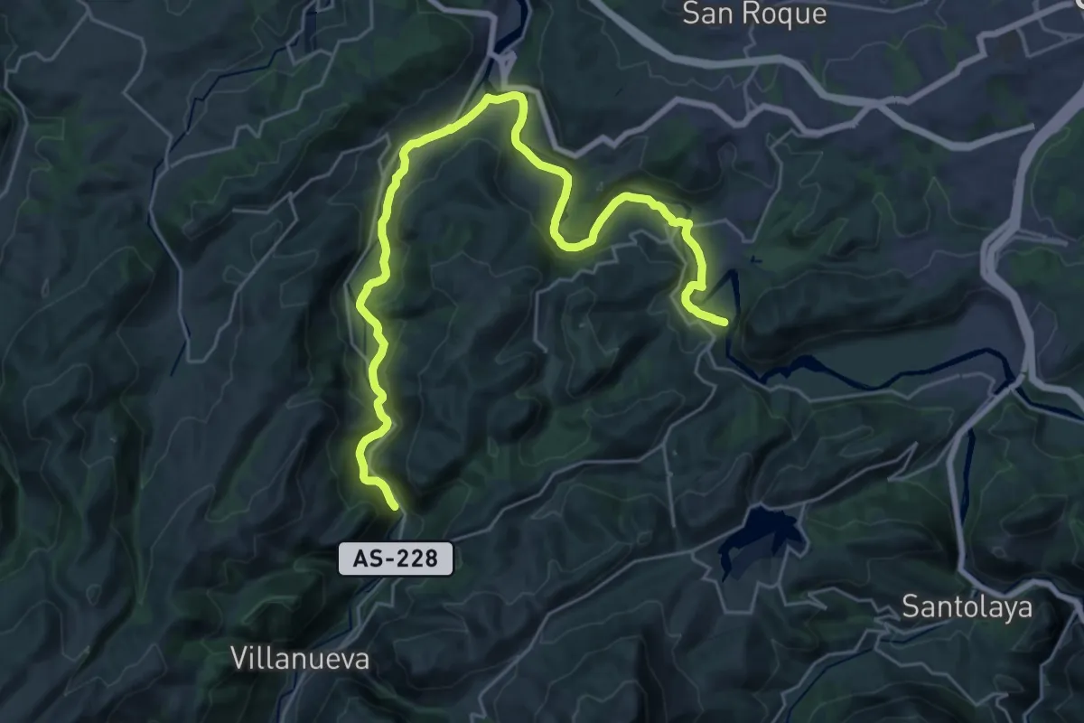
Medium · Trail
Camino Natural del Rio Naló (Fuso a Tuñaón)
15.7 km · ↑ 400 m · 4 h 45 min · 8 km away
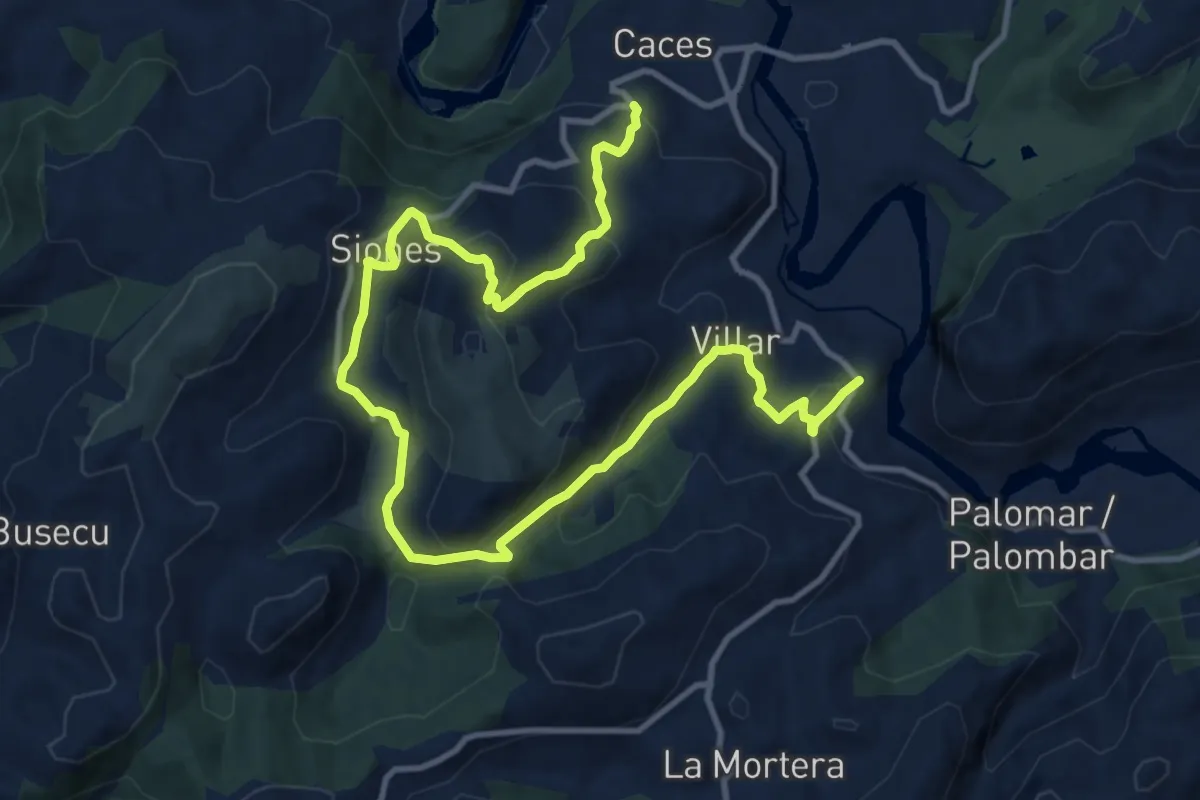
Medium · Trail
Ruta de la Salamandra I (Caces-Siones-La Arquera)
16.1 km · ↑ 724 m · 5 h 22 min · 8 km away
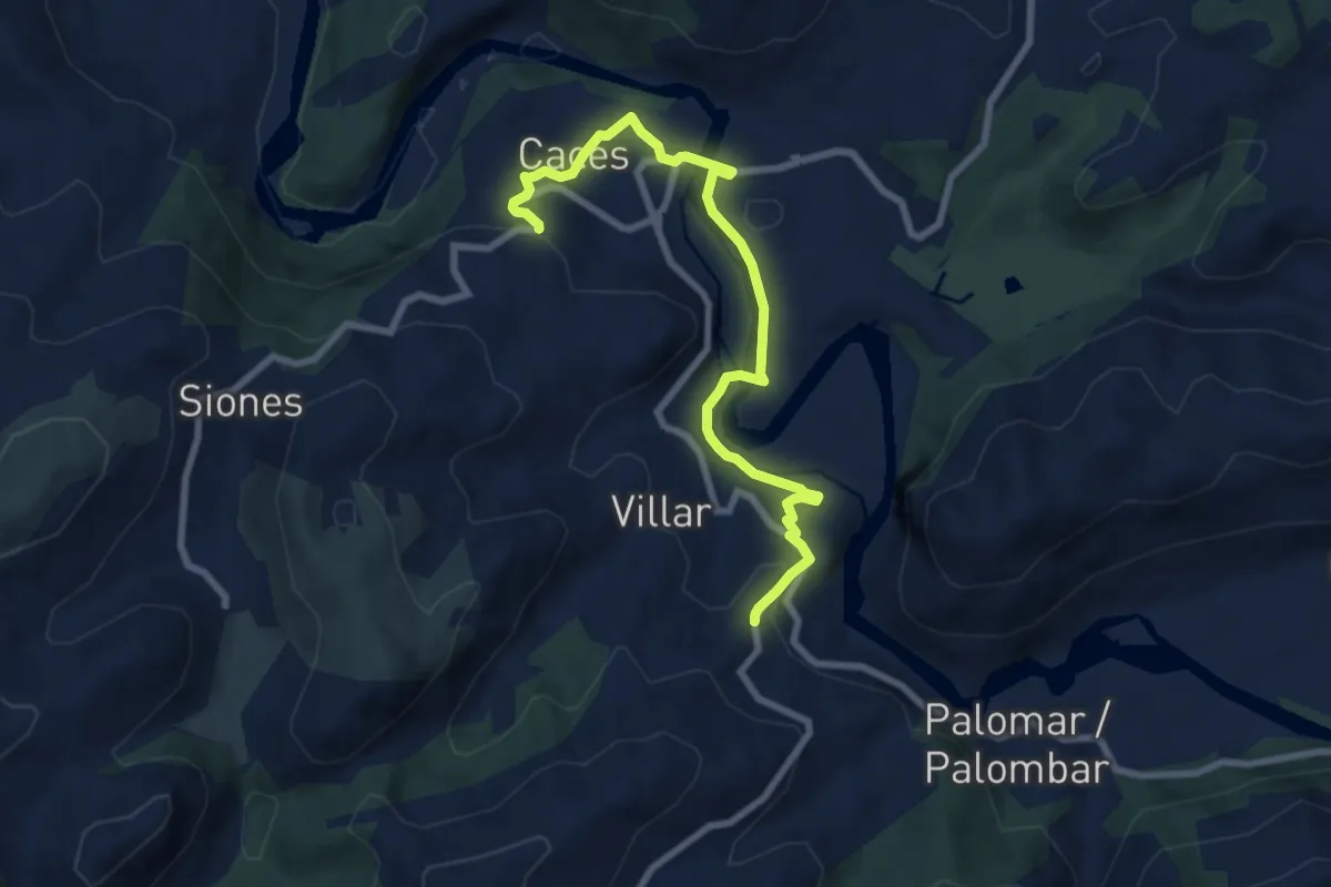
Medium · Trail
Ruta de la Salamandra II (La Arquera-Caces)
8.7 km · ↑ 236 m · 2 h 34 min · 8 km away
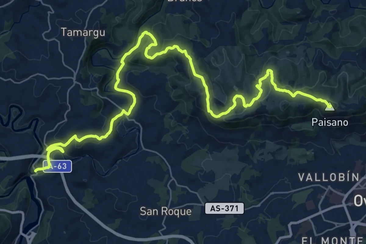
Demanding · Summit
Puente Viejo-Pico Paisano-Puente Gallegos-El Pedreru-San Pedro de Nora
34.1 km · ↑ 1269 m · 10 h 49 min · 9 km away
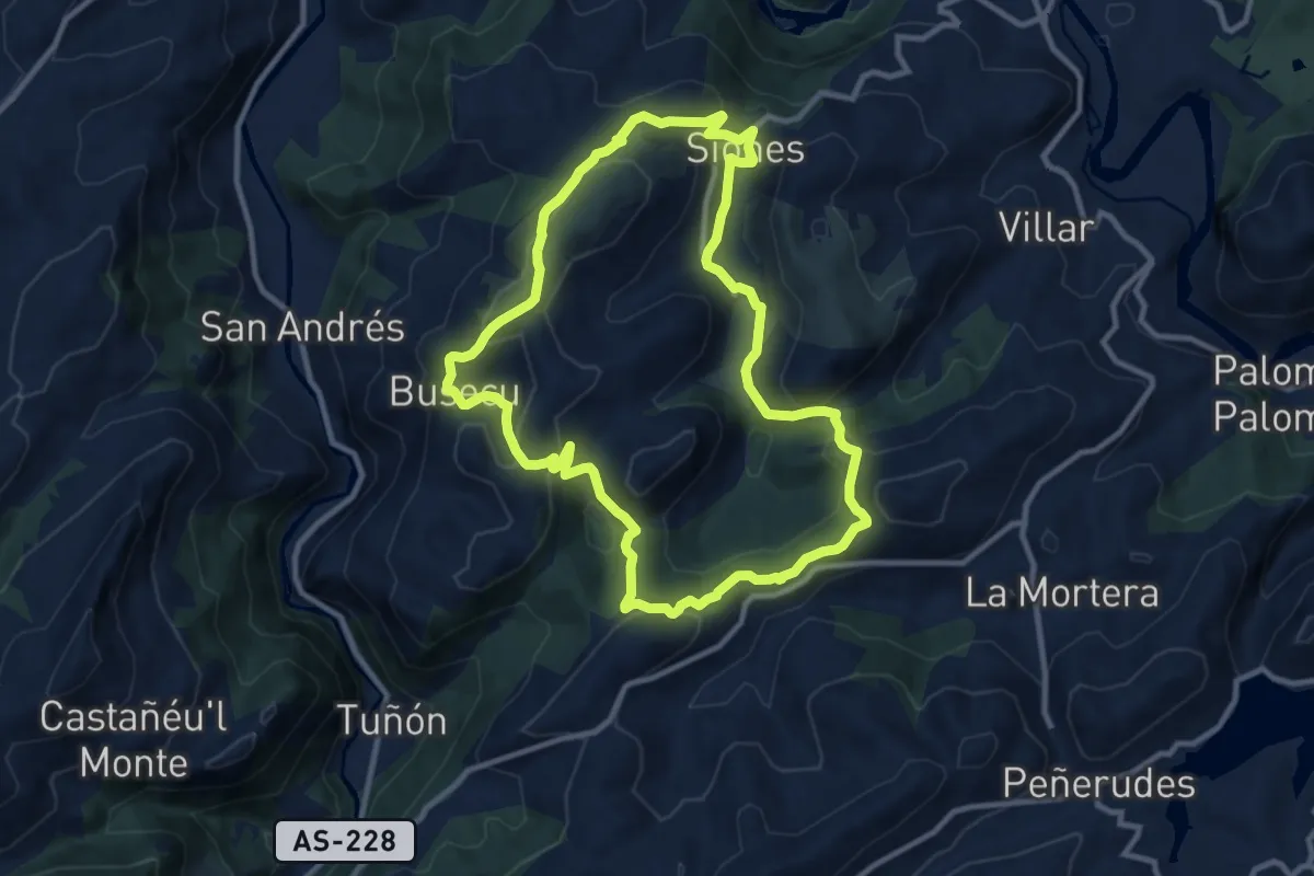
Medium · Trail
Ruta del Buitre (Siones-Cotomonteros)
10.8 km · ↑ 429 m · 3 h 37 min · 10 km away
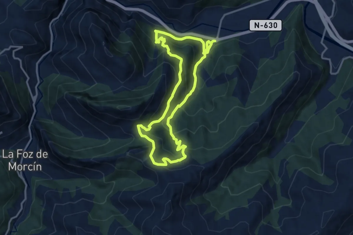
Medium · Trail
Senda del Valle de Lloreo
8.5 km · ↑ 598 m · 3 h 25 min · 10 km away
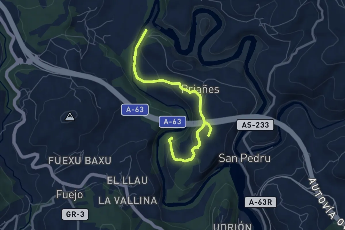
Medium · Summit
Senda Verde de Priañes
8.6 km · ↑ 351 m · 2 h 48 min · 11 km away
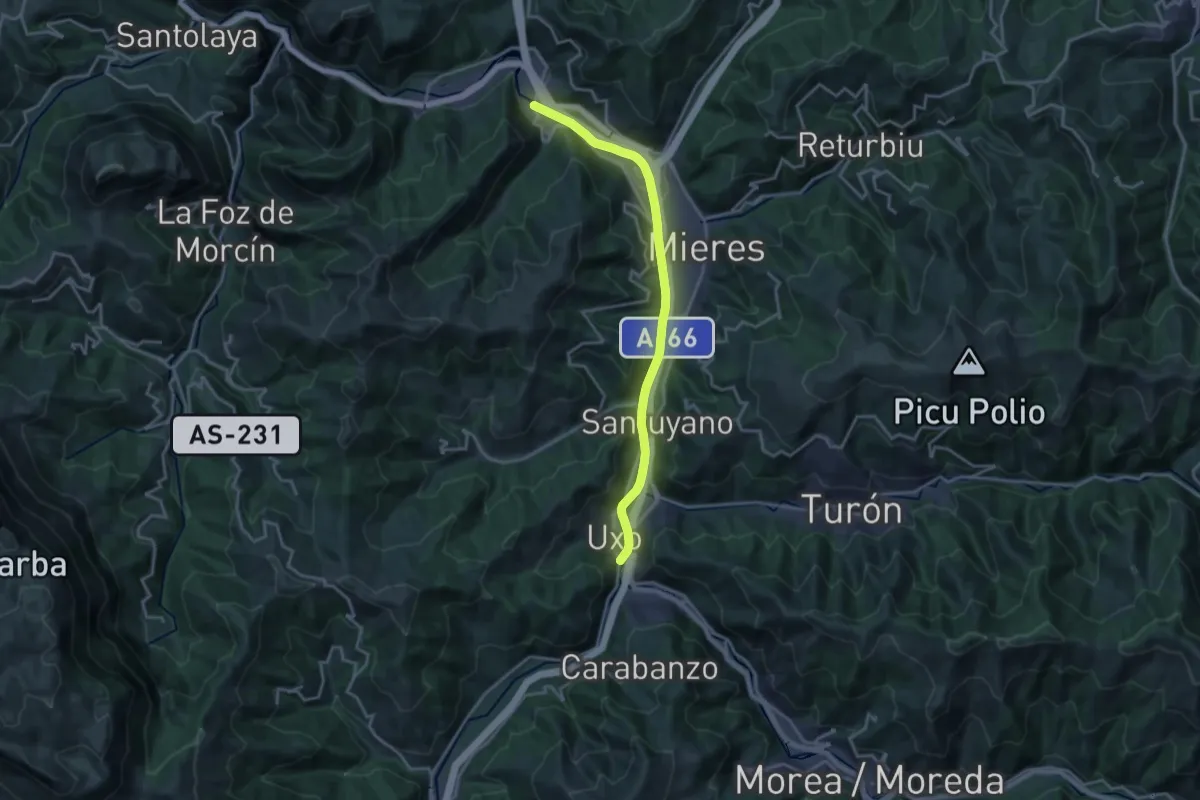
Demanding · Trail
Paseo del Rio Caudal
18.1 km · ↑ 222 m · 4 h 45 min · 11 km away
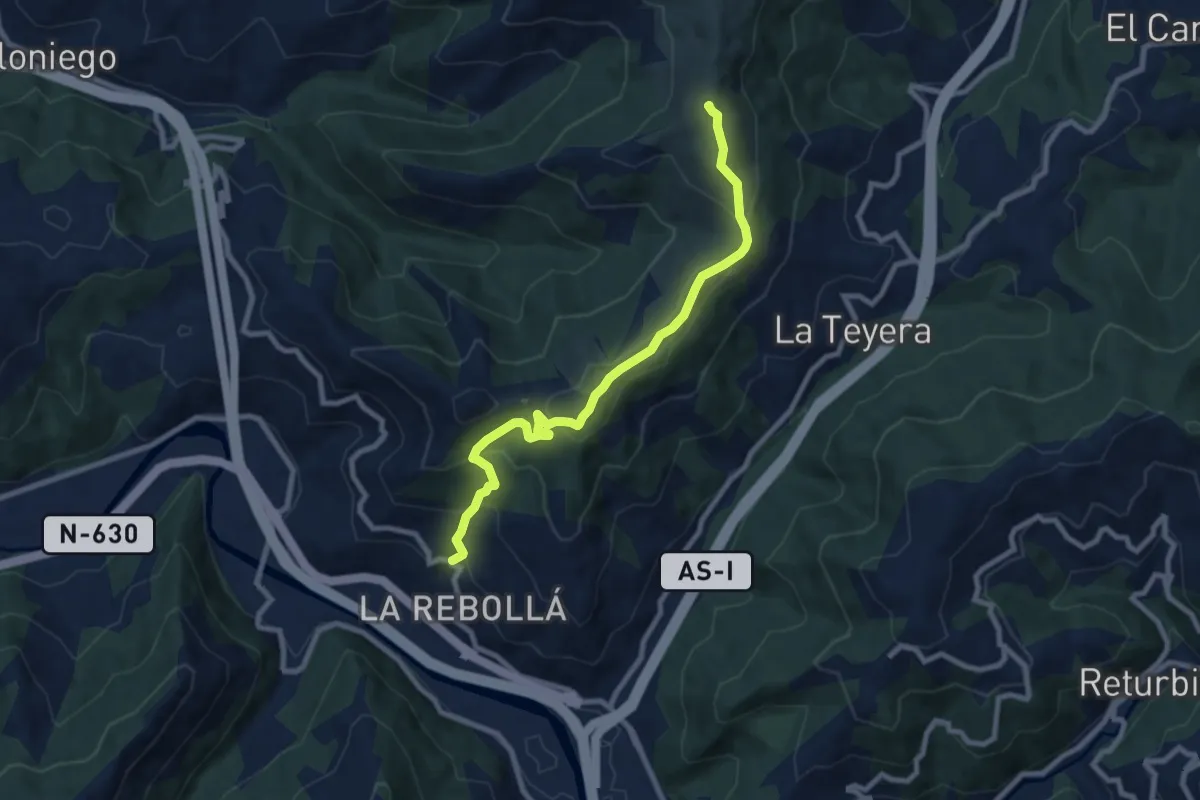
Medium · Summit
Ruta de las Peregrinaciones. Ramal de Mieres
8.9 km · ↑ 548 m · 3 h 17 min · 11 km away
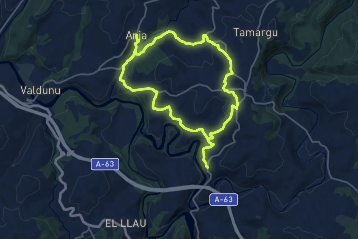
Demanding · Trail
Ruta de los Lanceros
24.3 km · ↑ 779 m · 7 h 26 min · 11 km away
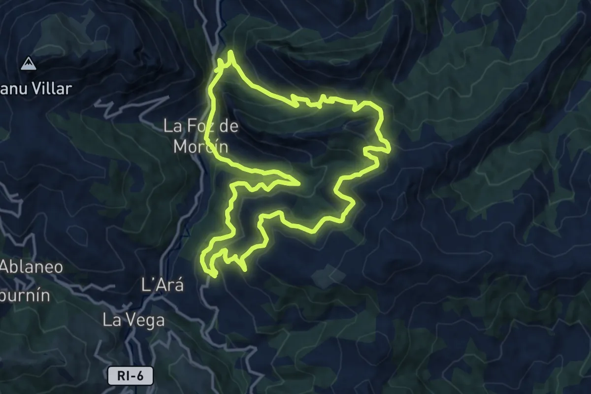
Demanding · Trail
Ruta minera de La Esperanza
13.5 km · ↑ 871 m · 5 h 16 min · 12 km away
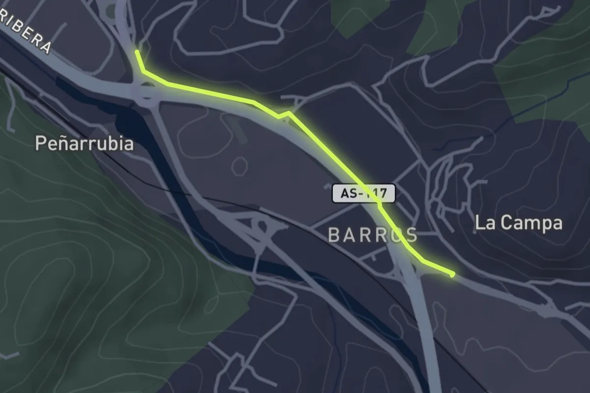
Easy · Trail
Riañu - Barros
2.6 km · ↑ 44 m · 42 min · 13 km away
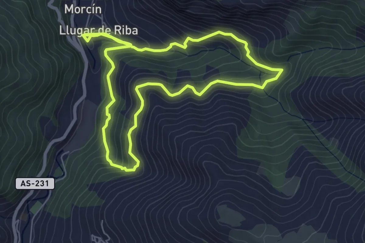
Medium · Trail
Ruta de la Esperanza
5.7 km · ↑ 362 m · 2 h 14 min · 13 km away
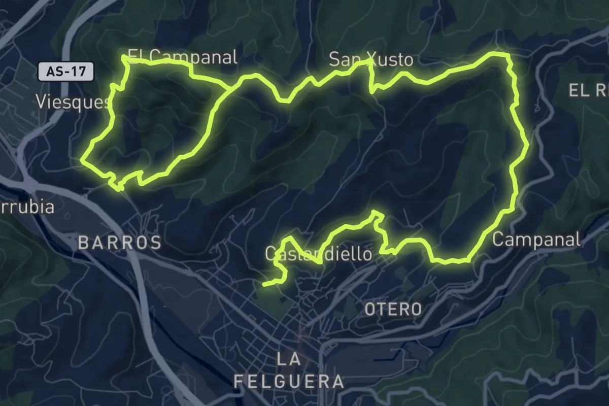
Demanding · Trail
Sendas de la Felguera y Barros
23.6 km · ↑ 1017 m · 7 h 46 min · 13 km away
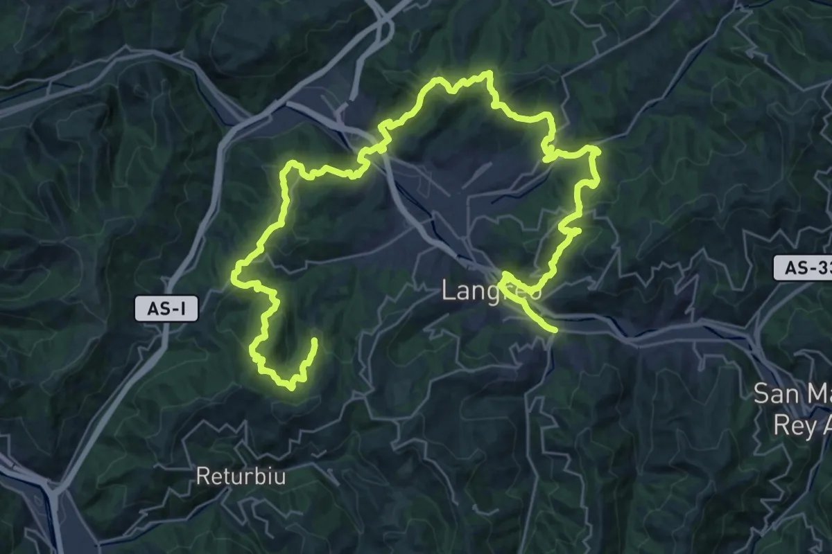
Demanding · Trail
Vuelta a Langreo II
24.3 km · ↑ 977 m · 8 h 17 min · 13 km away
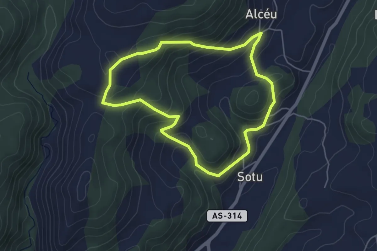
Easy · Trail
Ruta del alto de Piedrafita
4.0 km · ↑ 213 m · 1 h 28 min · 14 km away
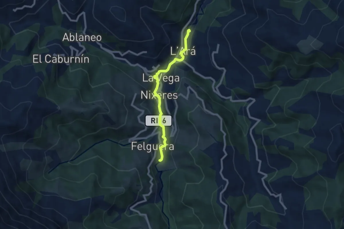
Easy · Trail
Senda Fluvial La Ará - Felguera
5.6 km · ↑ 105 m · 1 h 32 min · 14 km away
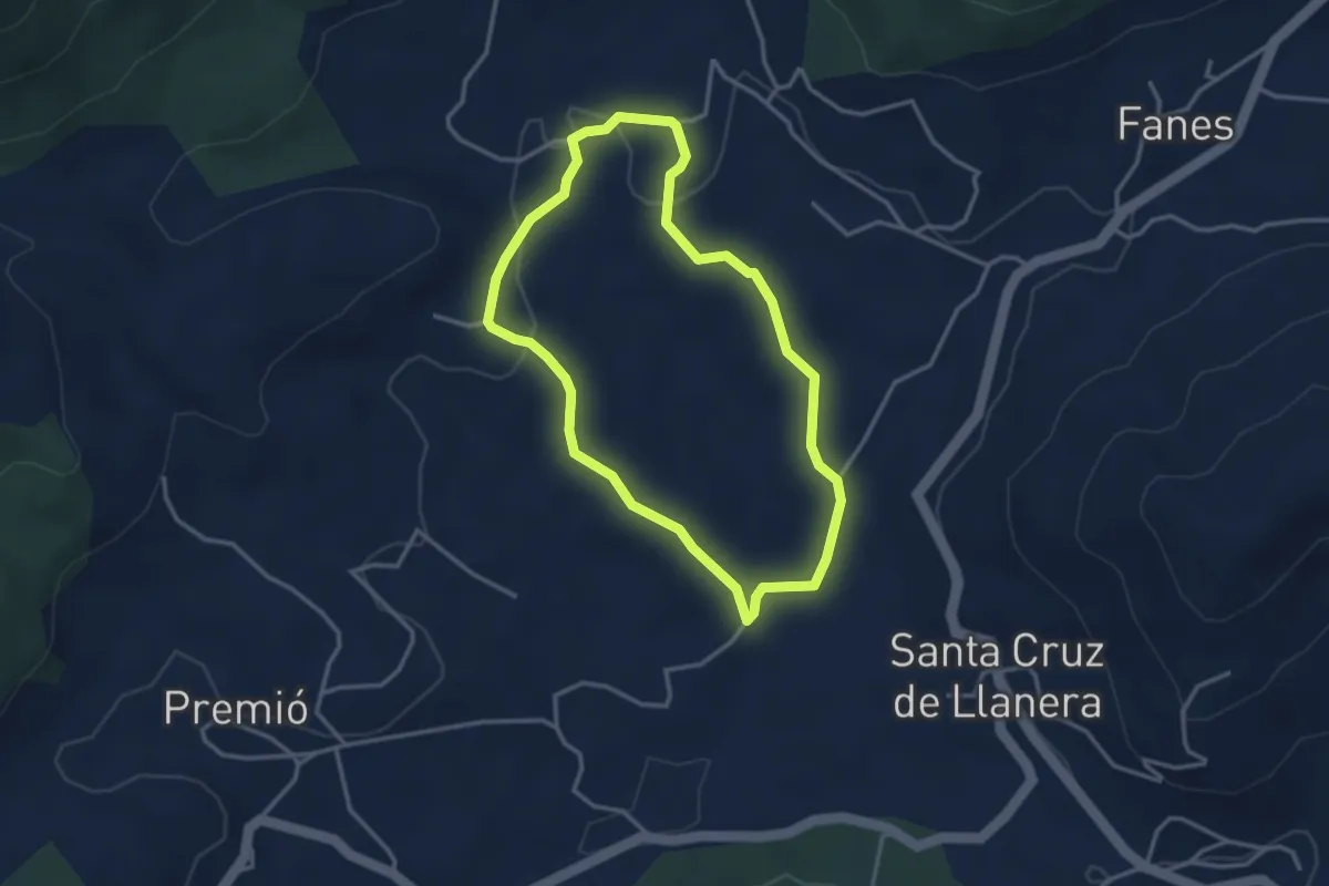
Easy · Trail
Ruta de la cerámica
3.3 km · ↑ 59 m · 56 min · 14 km away
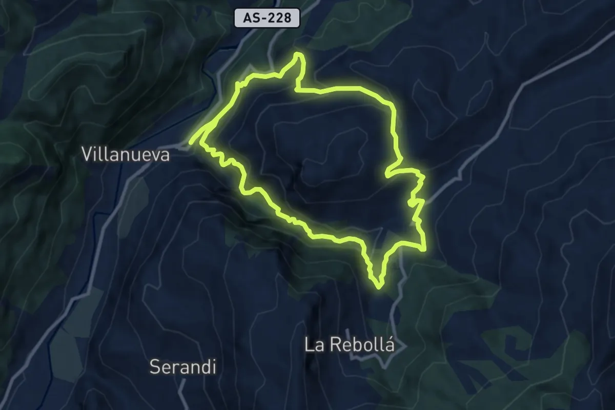
Medium · Trail
Ruta de las Xanas
8.8 km · ↑ 652 m · 3 h 36 min · 15 km away