Trails near Peligros
44 hikes starting within 15 km, nearest first.
Nearest first
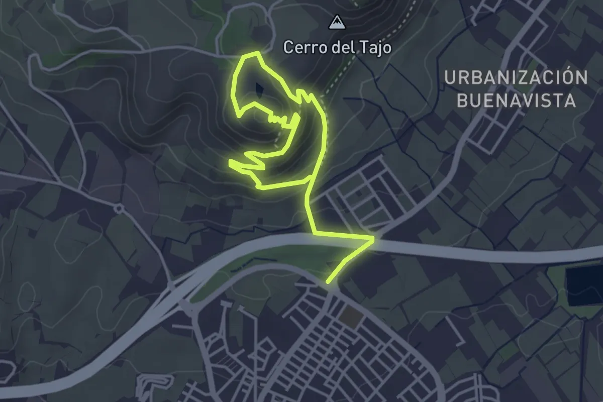
Medium · Trail
Ermita de los Tres Juanes
3.1 km · ↑ 152 m · 1 h 8 min · 5 km away
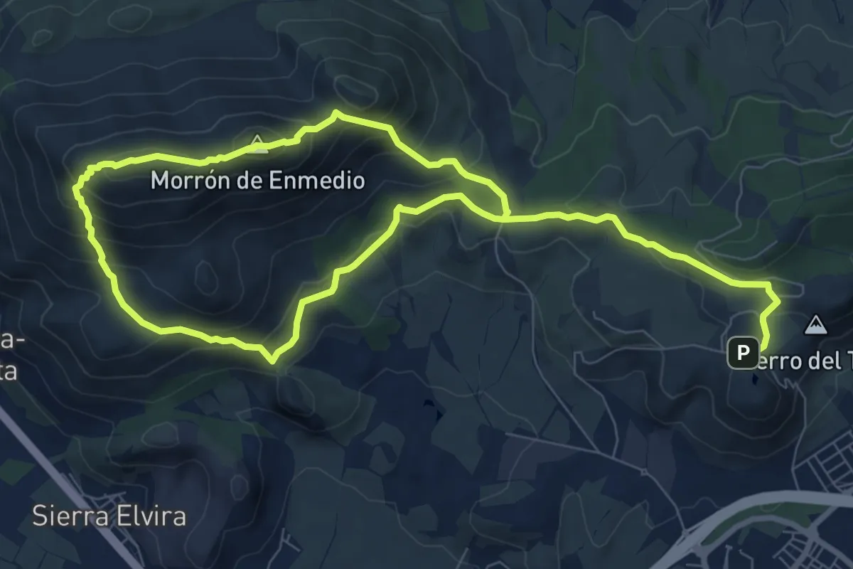
Demanding · Summit
Cumbres de Sierra Elvira
7.9 km · ↑ 435 m · 2 h 57 min · 5 km away
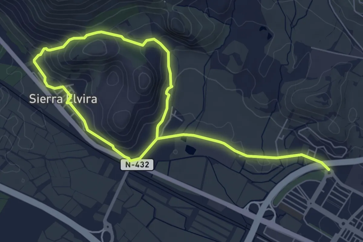
Easy · Summit
Camino de Sierra Elvira
5.1 km · ↑ 151 m · 1 h 36 min · 6 km away
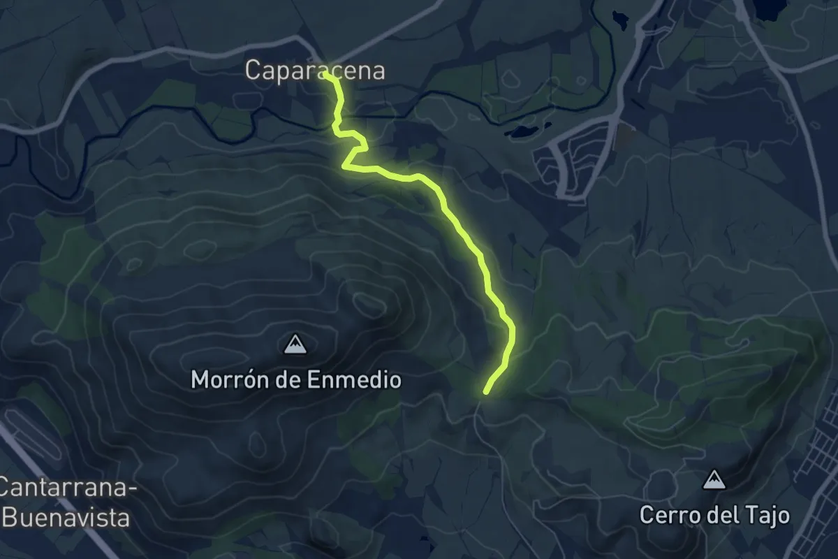
Easy · Trail
Camino de Caparacena
6.4 km · ↑ 181 m · 1 h 55 min · 7 km away
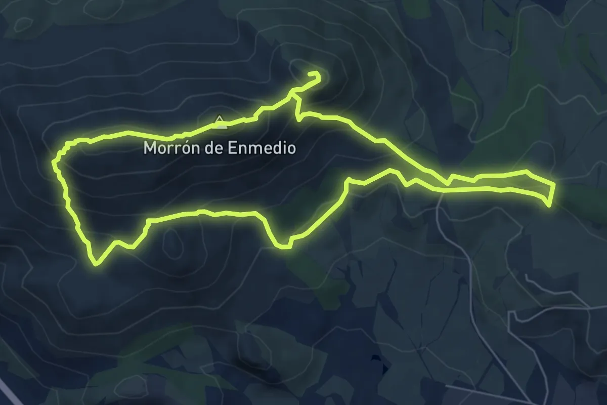
Demanding · Summit
Ruta Integral de Sierra Elvira - Morrón de la punta, de Enmedio y El Piorno
7.8 km · ↑ 567 m · 3 h 11 min · 7 km away
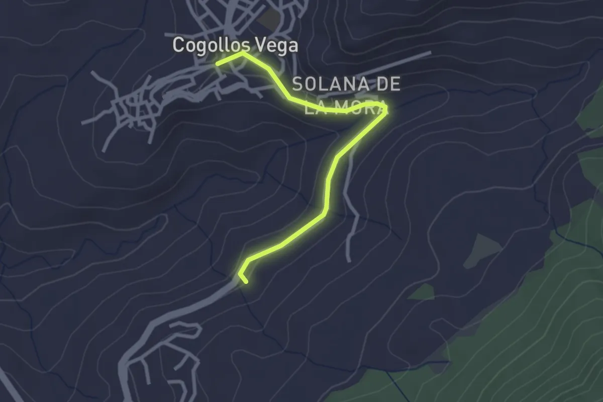
Easy · Trail
Fuente de Carrañacas
2.9 km · ↑ 62 m · 49 min · 7 km away
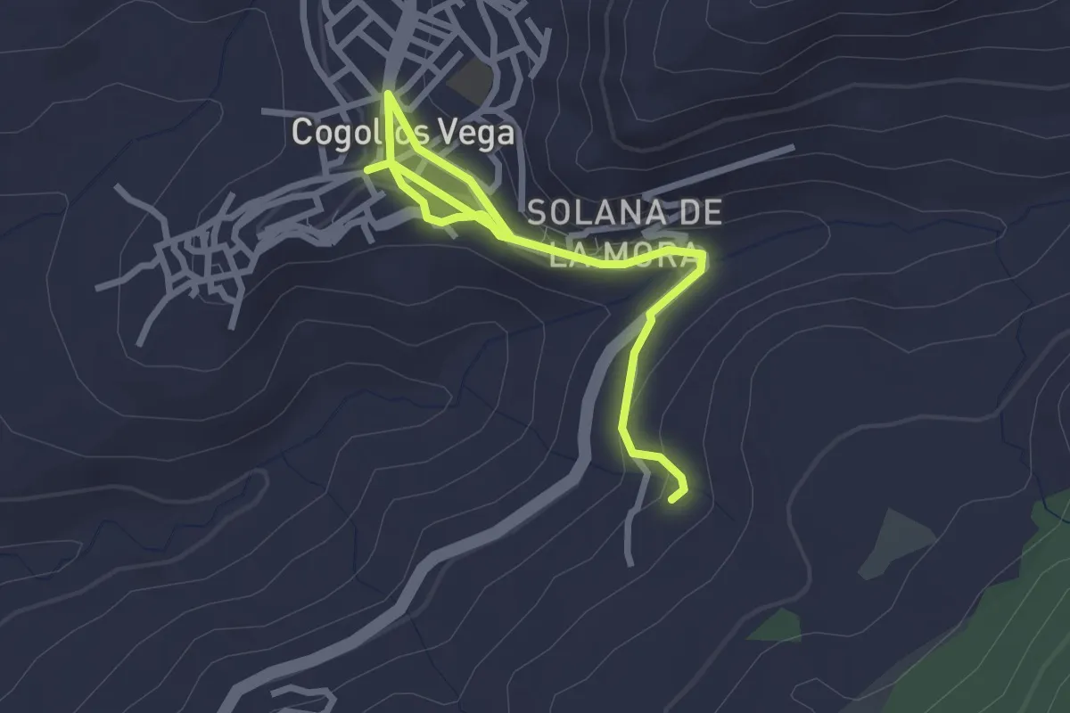
Easy · Trail
Fuente de la Sartén
3.7 km · ↑ 101 m · 1 h 5 min · 7 km away
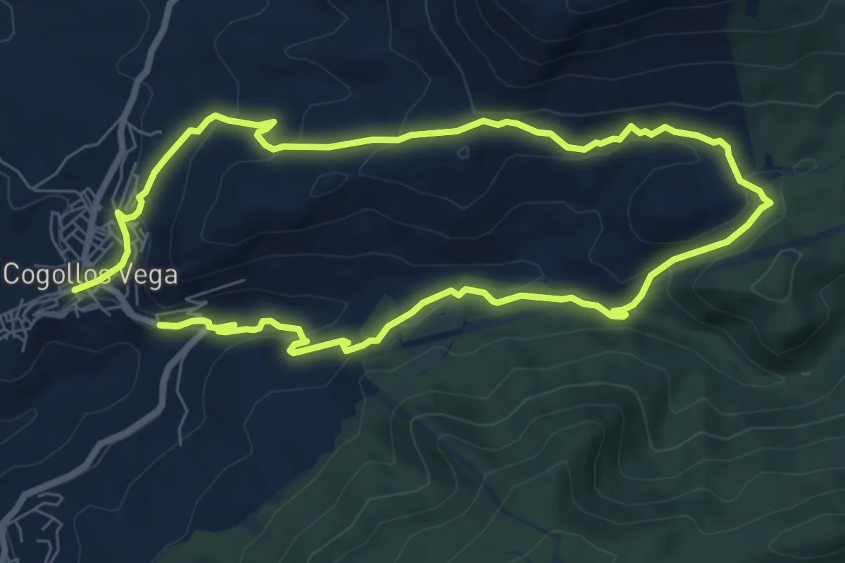
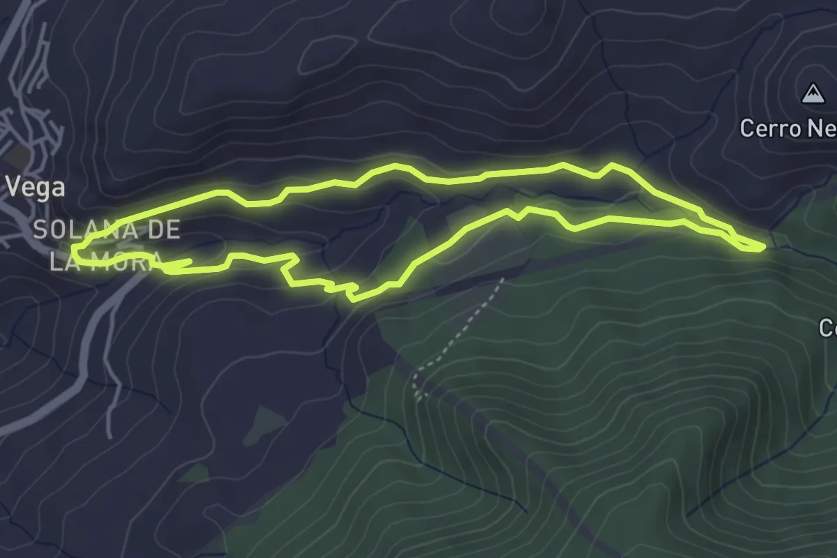
Easy · Summit
Ruta de las Trincheras de la Guerra Civil
7.3 km · ↑ 255 m · 2 h 23 min · 7 km away
Easy · Trail
Cortijo Finca del Cura
4.7 km · ↑ 116 m · 1 h 25 min · 7 km away
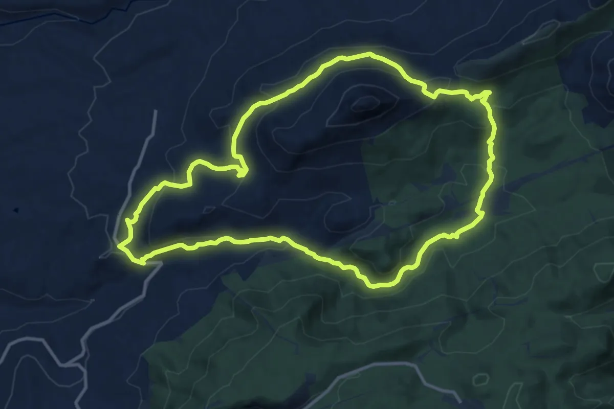
Medium · Summit
Prado Largo - Carifaquín
12.5 km · ↑ 453 m · 4 h 6 min · 7 km away
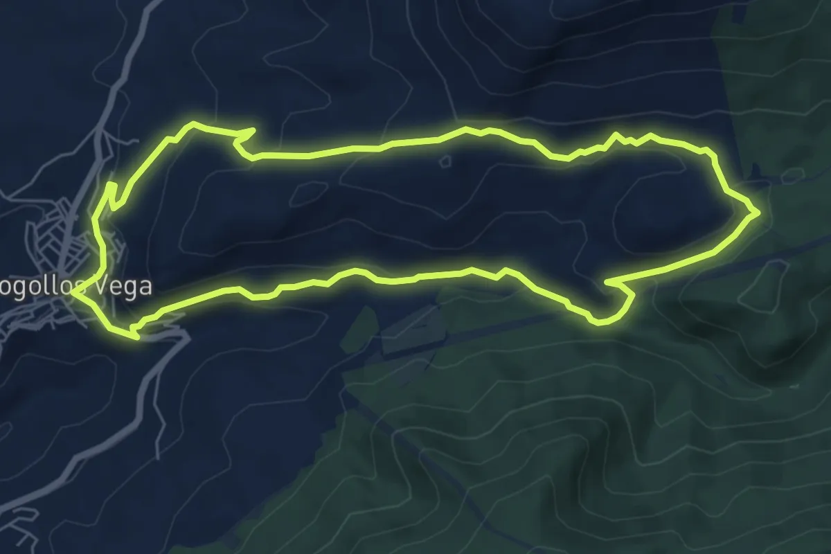
Easy · Summit
Collado de los Prados del Rey
7.4 km · ↑ 259 m · 2 h 25 min · 7 km away
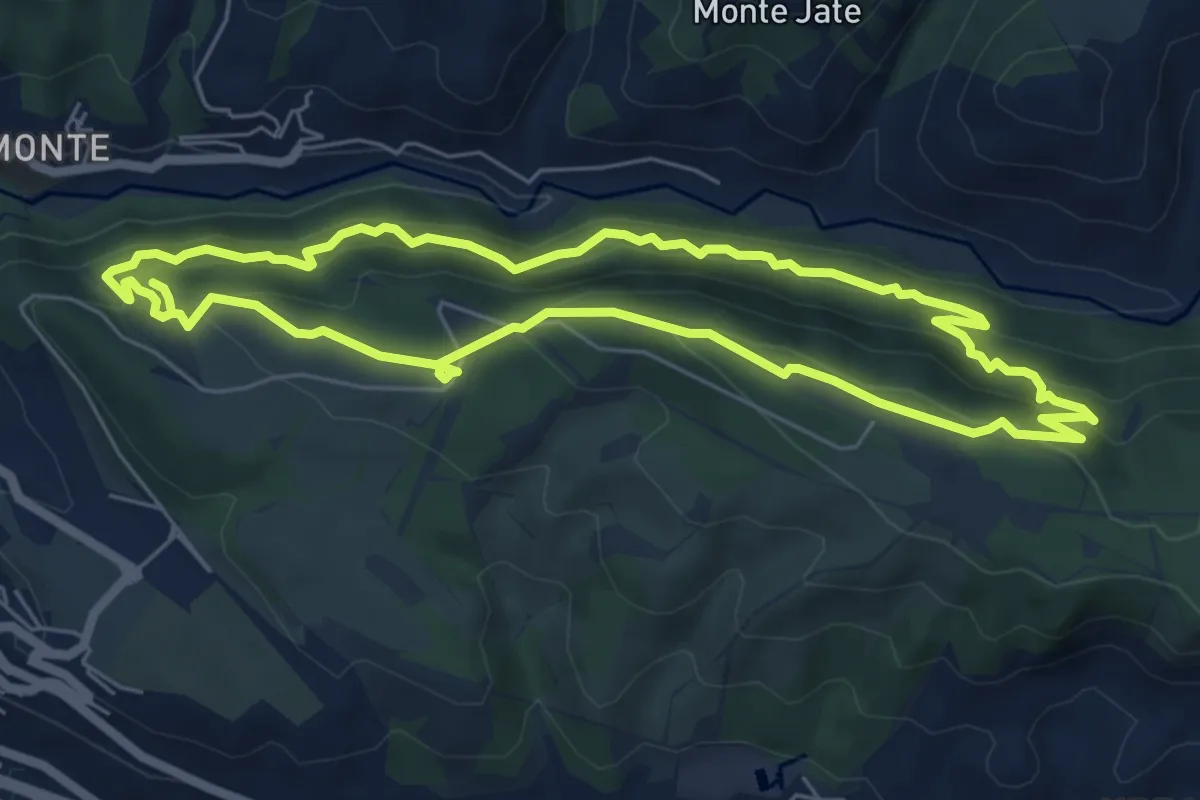
Medium · Trail
Acequia Real - Dehesa del Generalife
7.0 km · ↑ 486 m · 2 h 47 min · 7 km away
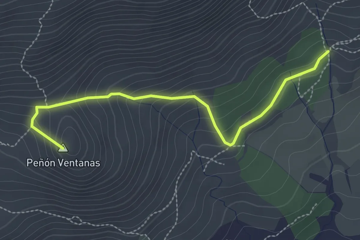
Medium · Summit
Cerro de las Ventanas
3.3 km · ↑ 211 m · 1 h 13 min · 7 km away
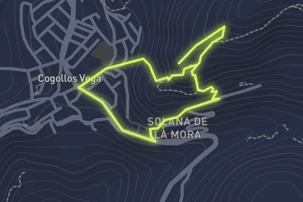
Easy · Trail
Excursión al Tajo
1.8 km · ↑ 154 m · 47 min · 7 km away
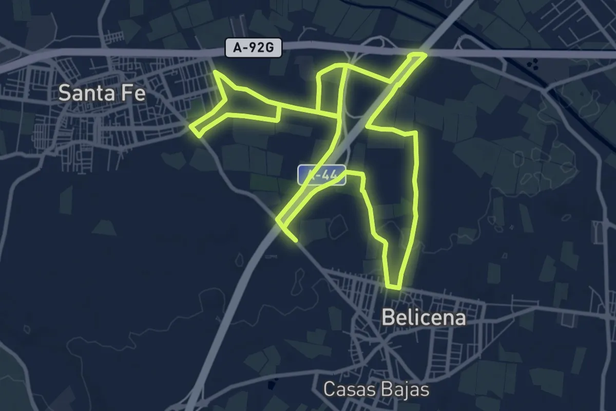
Medium · Trail
Camino de San Juan
10.4 km · ↑ 16 m · 2 h 38 min · 7 km away
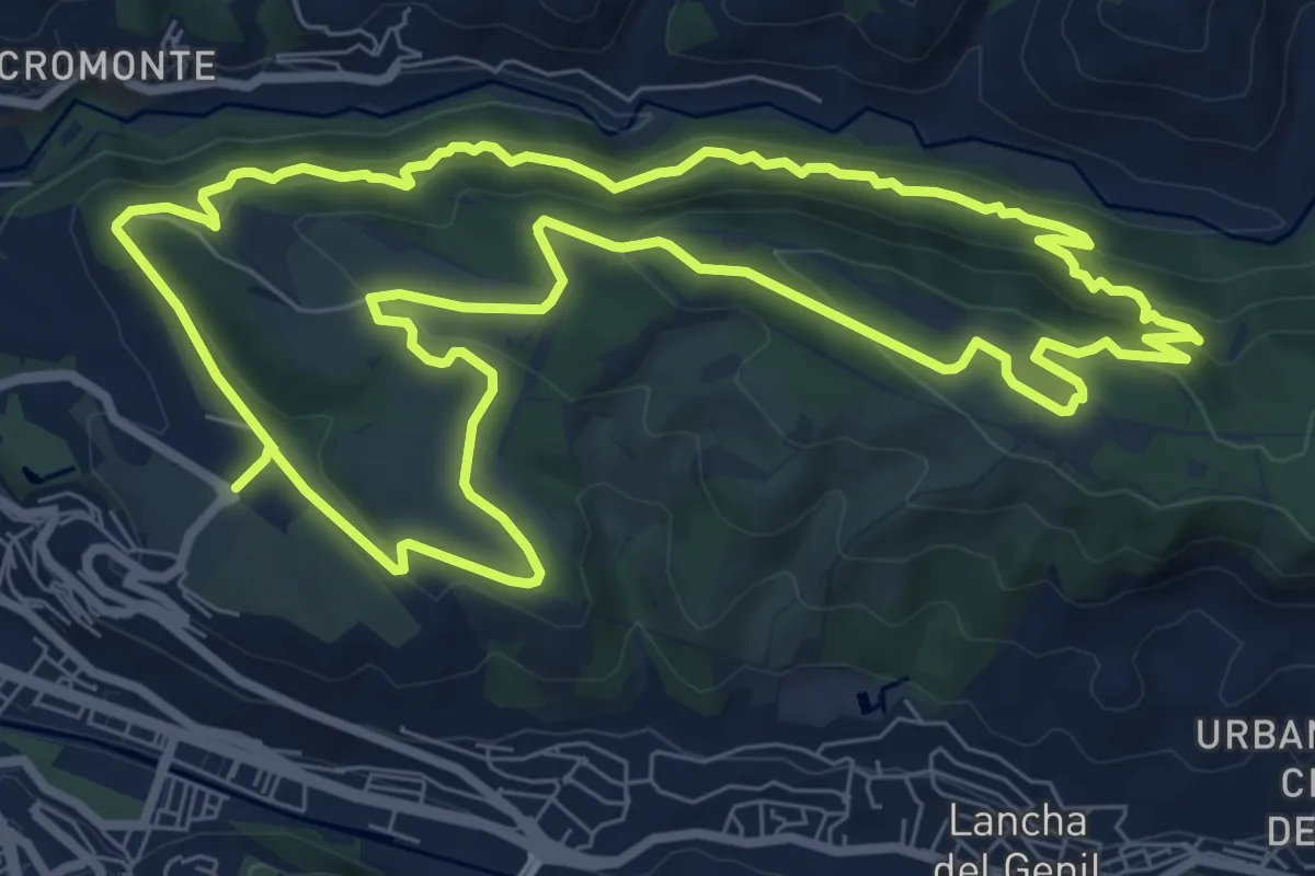
Medium · Trail
Dehesa del Generalife
10.2 km · ↑ 449 m · 3 h 31 min · 8 km away
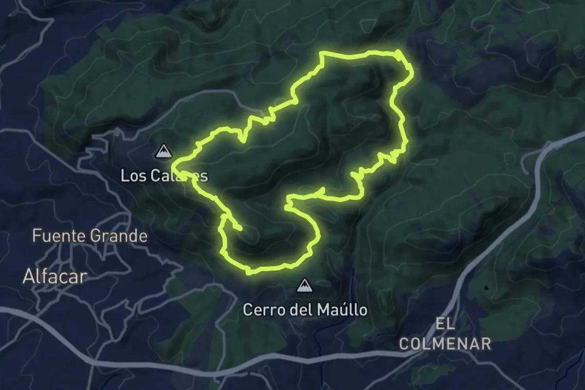
Demanding · Summit
Cuevas y cruces de la Sierra de la Alfaguara
16.2 km · ↑ 689 m · 5 h 32 min · 8 km away
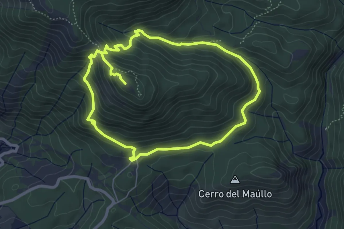
Demanding · Summit
Cruz de Víznar
10.5 km · ↑ 572 m · 3 h 43 min · 8 km away
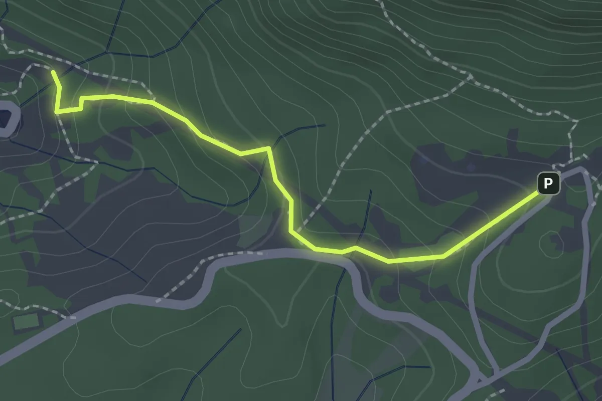
Easy · Trail
Sendero Barranco de Víznar
2.4 km · ↑ 144 m · 52 min · 8 km away
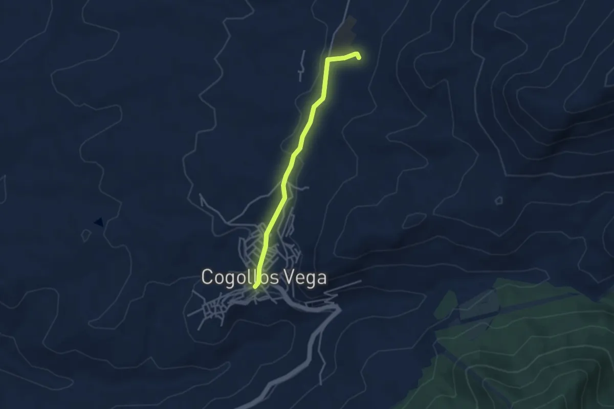
Easy · Trail
Fuente de Catacena
3.7 km · ↑ 91 m · 1 h 4 min · 9 km away
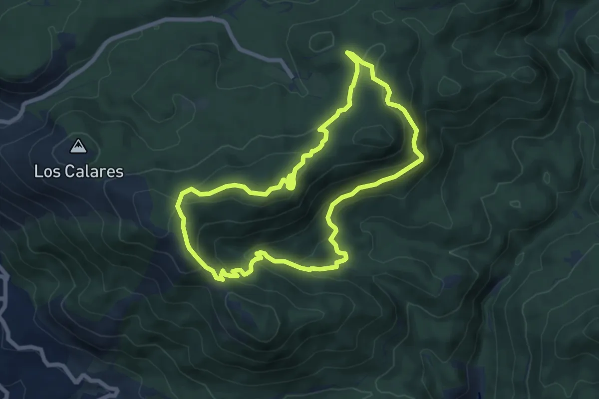
Demanding · Summit
Cueva del Agua
6.9 km · ↑ 284 m · 2 h 21 min · 9 km away
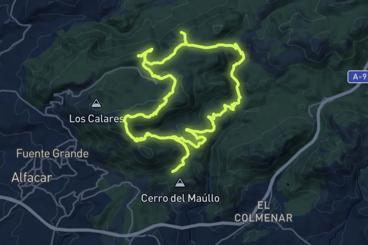
Demanding · Summit
Itinerario de las Trincheras
19.2 km · ↑ 664 m · 6 h 13 min · 9 km away
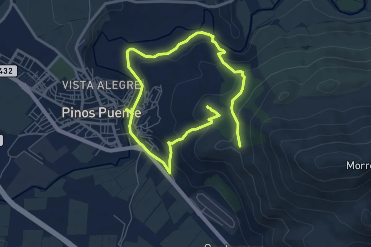
Medium · Summit
El Tajo del Sereno. Sierra y Agua.
10.4 km · ↑ 352 m · 3 h 12 min · 10 km away
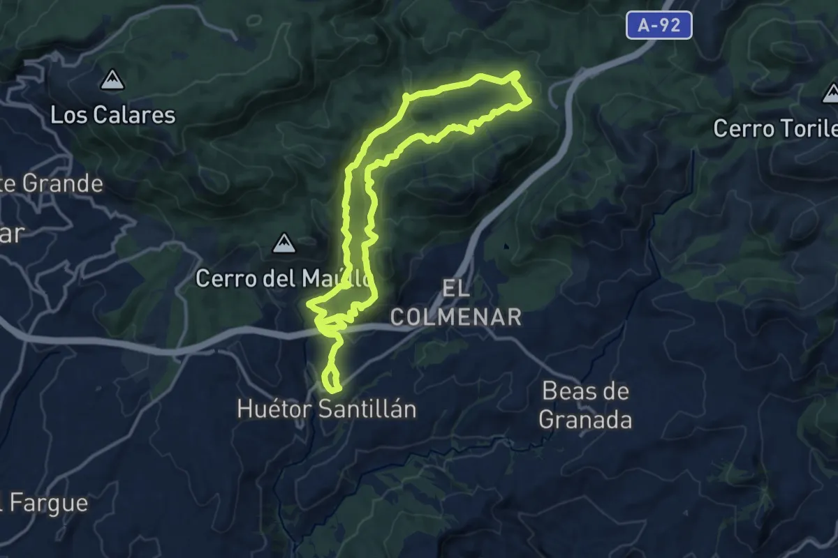
Medium · Trail
Trincheras de los Atajuelos
13.2 km · ↑ 421 m · 4 h 15 min · 10 km away
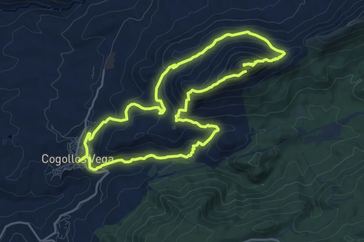
Demanding · Summit
Ruta de senderismo Peñón de la Mata
23.1 km · ↑ 1260 m · 8 h 11 min · 10 km away
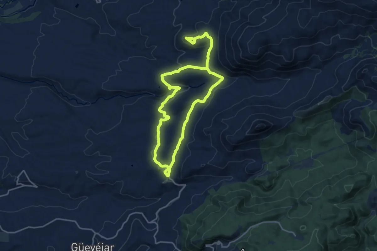
Medium · Trail
Ruta a la Atalaya
12.2 km · ↑ 270 m · 3 h 36 min · 10 km away
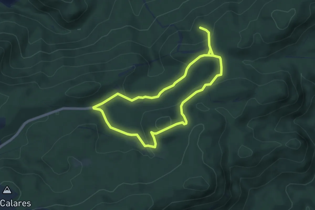
Medium · Summit
Sendero Fuente del Fraile-Sanatorio
4.8 km · ↑ 111 m · 1 h 27 min · 10 km away
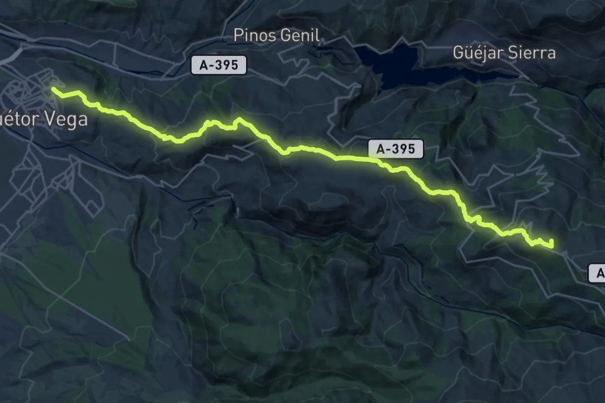
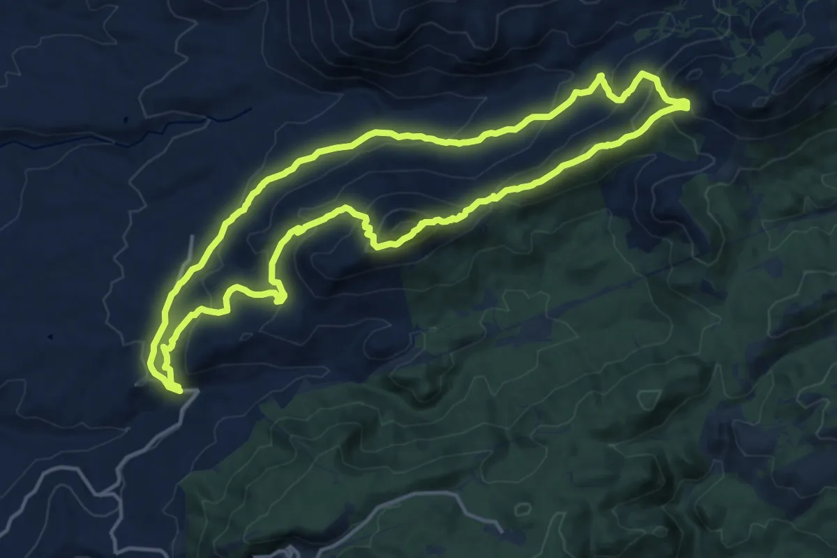
Demanding · Summit
Cañada Real de los Neveros
31.3 km · ↑ 1616 m · 10 h 53 min · 10 km away
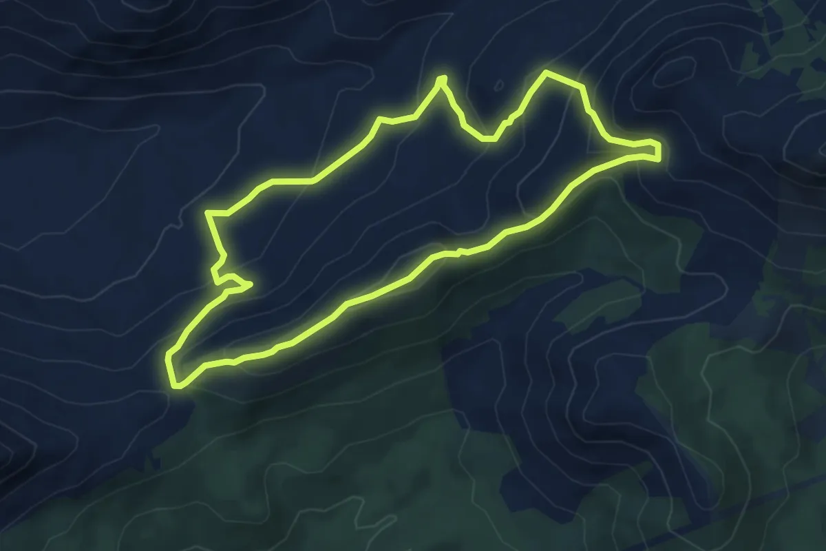
Demanding · Summit
Integral de Cogollos de la Vega
17.0 km · ↑ 859 m · 6 h 6 min · 11 km away
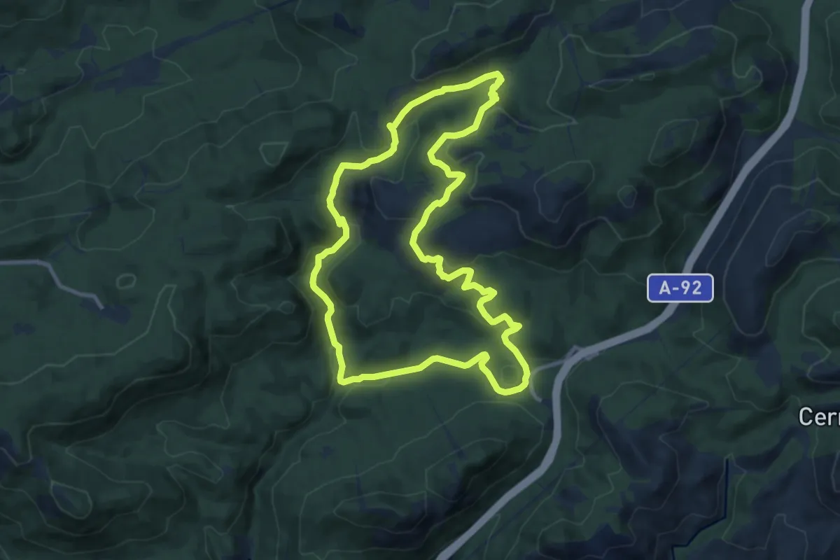
Medium · Trail
Collado de San Agustín - Majalijar
6.1 km · ↑ 383 m · 2 h 22 min · 11 km away
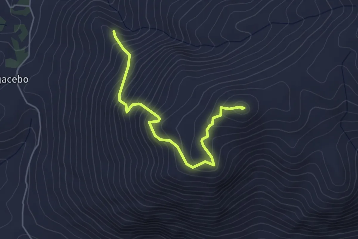
Medium · Summit
Cañada del Sereno
11.4 km · ↑ 358 m · 3 h 37 min · 12 km away
Medium · Summit
Trincheras de Cerro Gordo
5.1 km · ↑ 462 m · 2 h 12 min · 12 km away
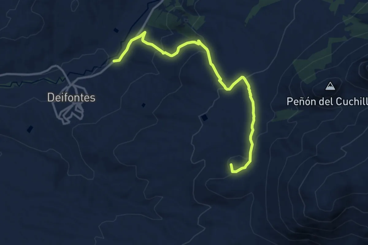
Medium · Summit
Sendero de las Fuentes
11.3 km · ↑ 441 m · 3 h 38 min · 12 km away
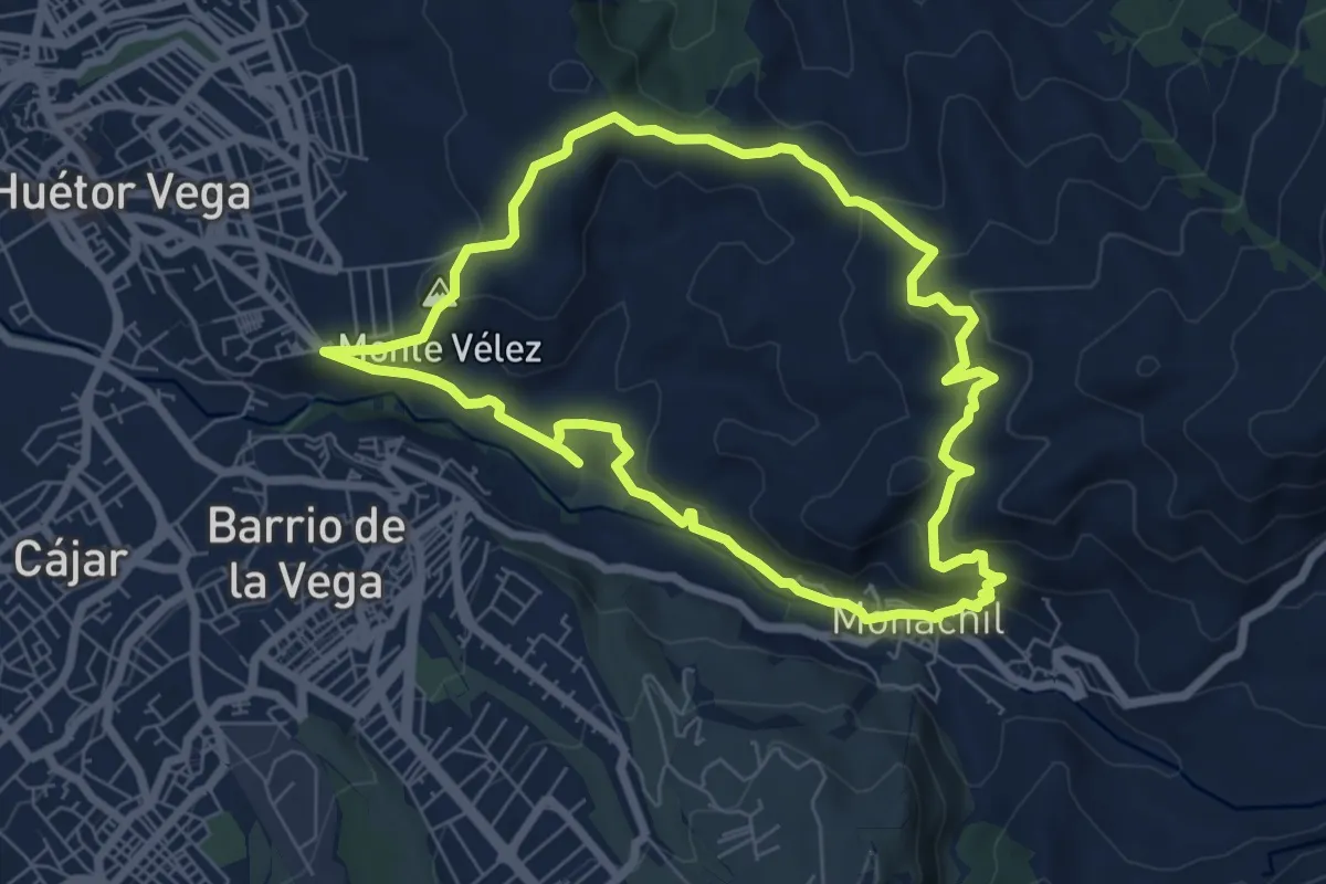
Easy · Summit
Sendero de San Antón
7.6 km · ↑ 306 m · 2 h 35 min · 12 km away
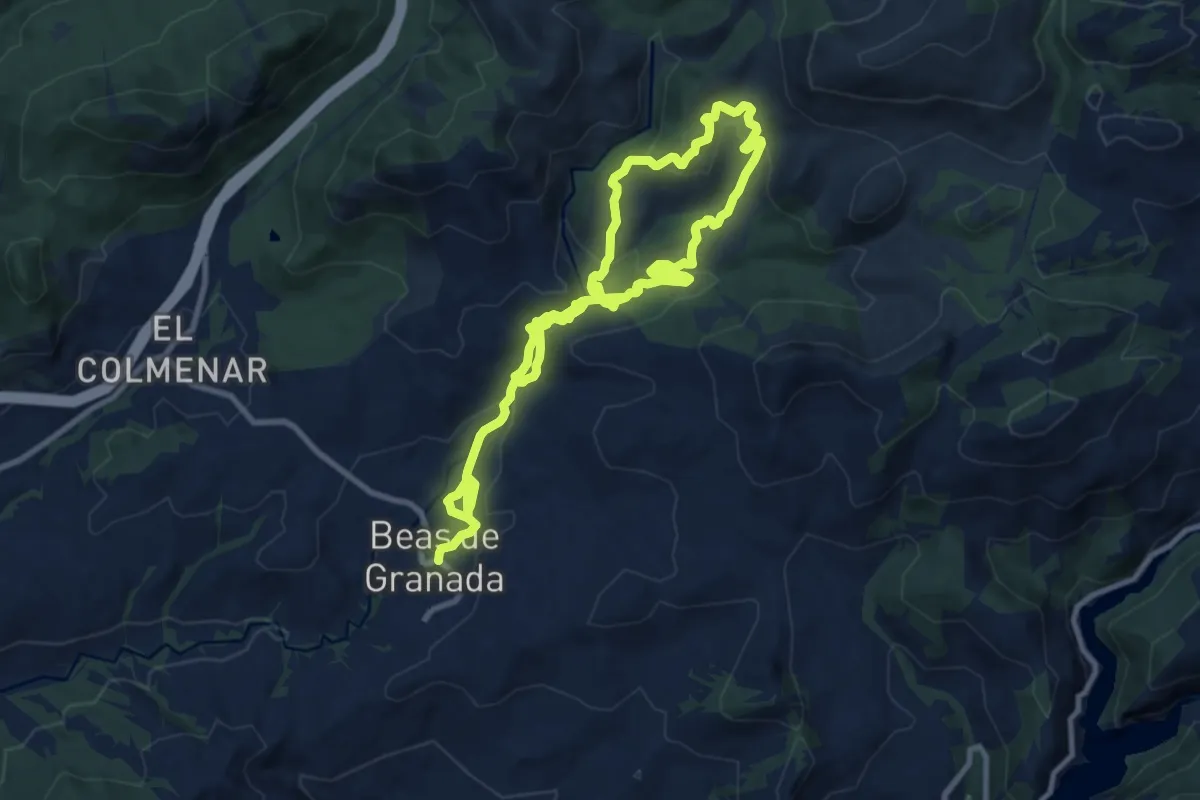
Medium · Trail
Ruta de los Diques de Beas de Granada
9.1 km · ↑ 324 m · 2 h 58 min · 13 km away
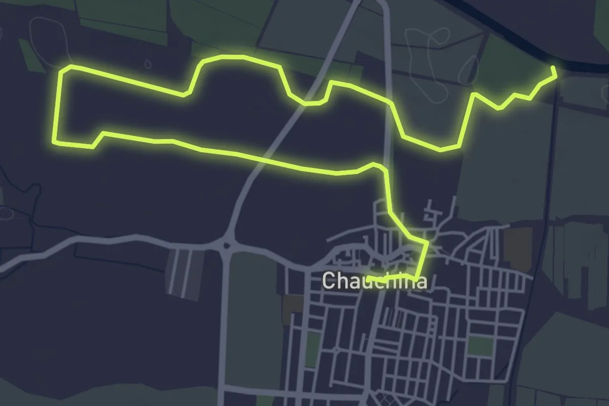
Medium · Trail
Ruta de la Vega a Torre de Romilla
9.5 km · ↑ 34 m · 2 h 18 min · 13 km away
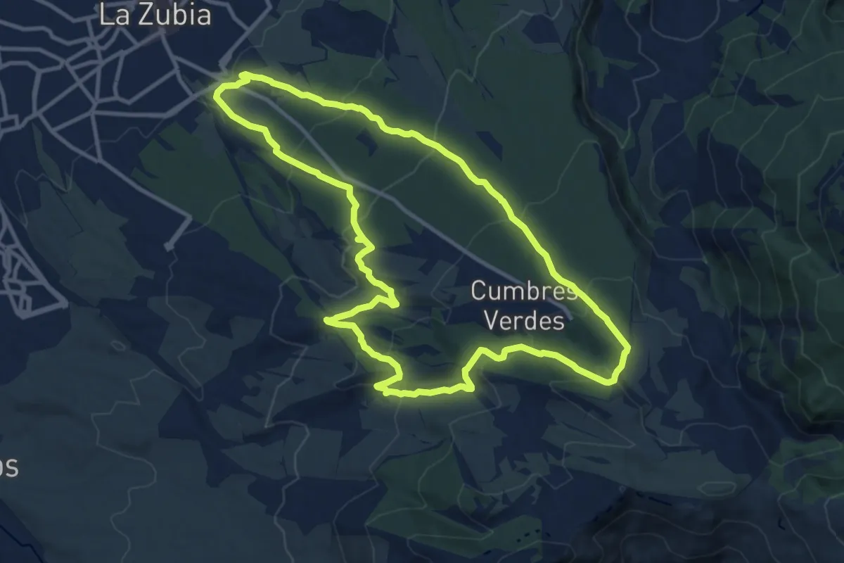
Medium · Summit
Pinares de la Zubia
12.8 km · ↑ 559 m · 4 h 25 min · 14 km away
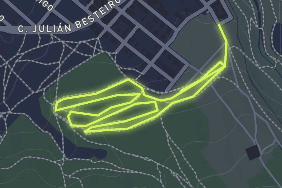
Easy · Trail
SL-A 324 Cantina de Rute
2.0 km · ↑ 34 m · 34 min · 14 km away
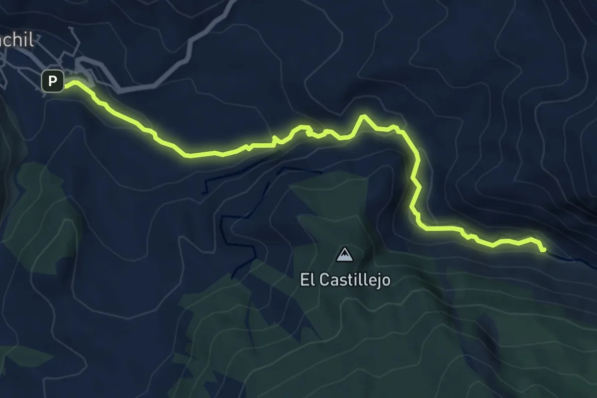
Easy · Trail
Sendero del Río Monachil
7.5 km · ↑ 293 m · 2 h 24 min · 14 km away
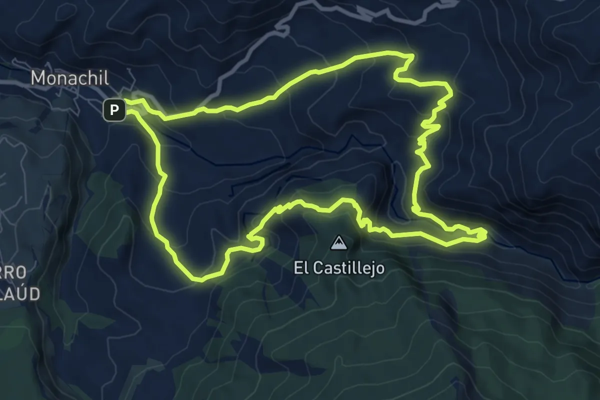
Medium · Trail
Circular de los Cahorros
9.9 km · ↑ 530 m · 3 h 37 min · 14 km away
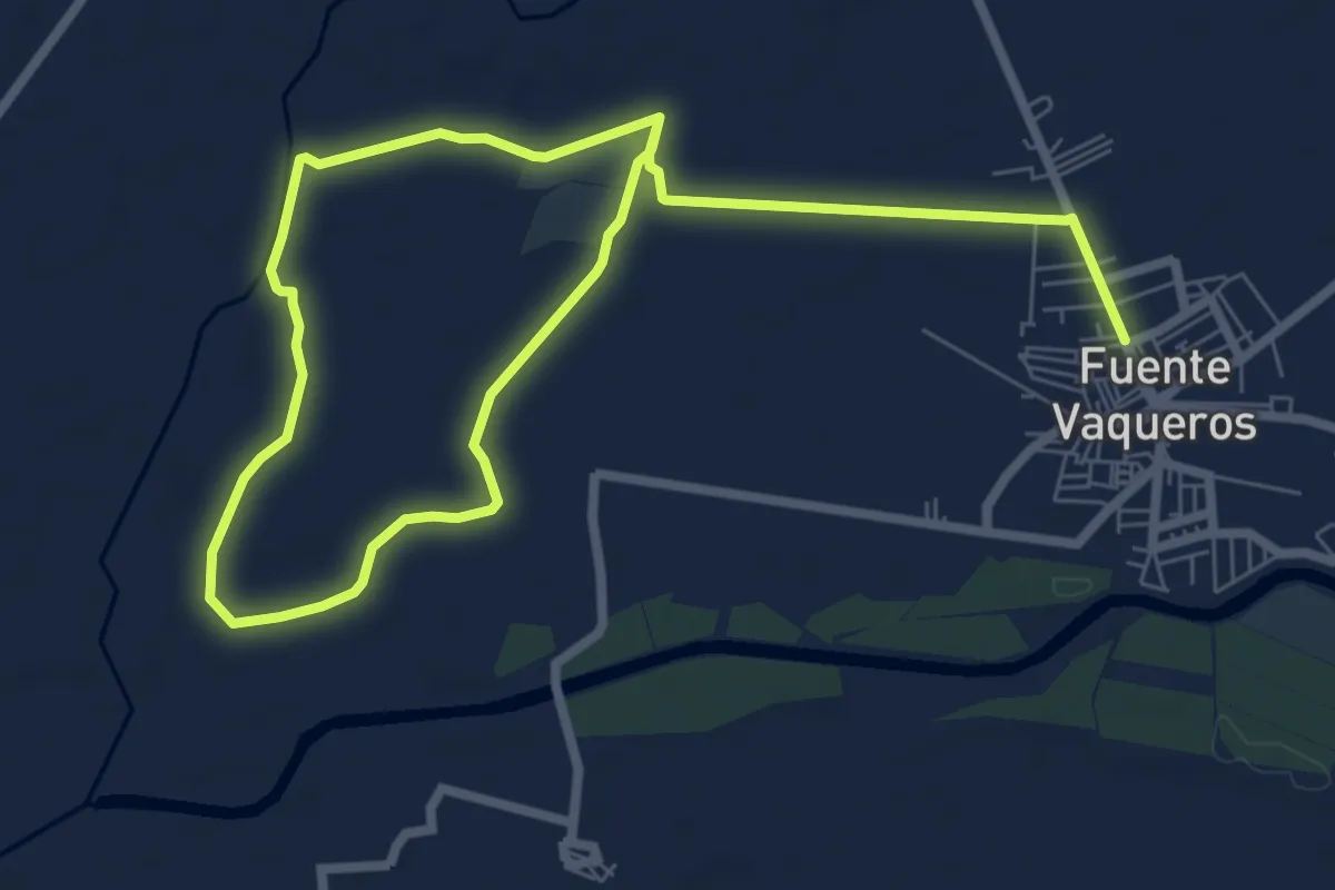
Easy · Trail
Ruta Lorquiana del Agua
6.7 km · ↑ 8 m · 1 h 41 min · 14 km away
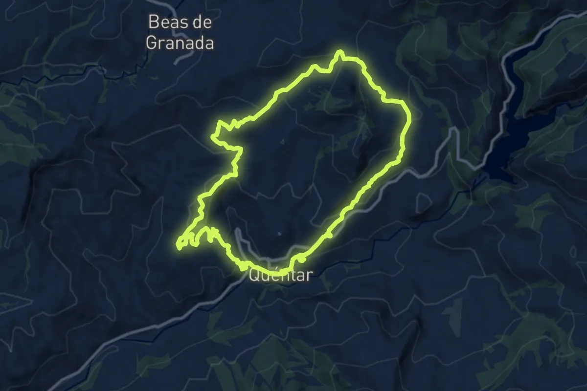
Medium · Summit
Quéntar - Fiñana - Álamo - Quéntar
11.3 km · ↑ 515 m · 3 h 57 min · 14 km away
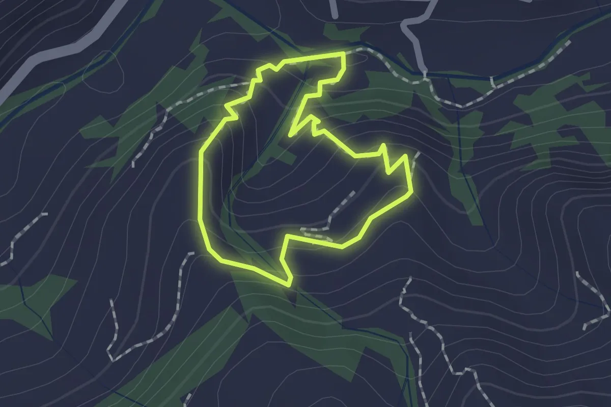
Easy · Trail
Quéntar - Cuesta Lolo - Cerrillo - Quéntar
1.5 km · ↑ 96 m · 34 min · 15 km away
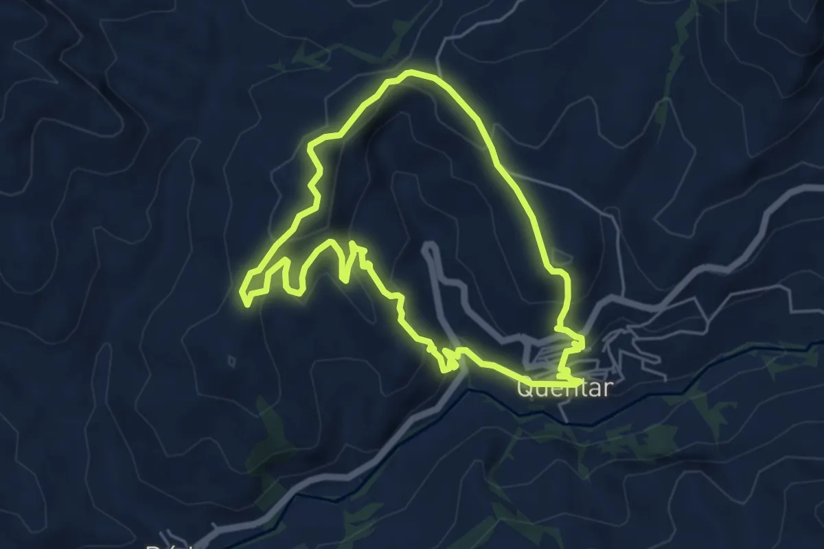
Easy · Trail
Quéntar - Solana - Quéntar
5.5 km · ↑ 290 m · 2 h 1 min · 15 km away