Trails near Pizarra
31 hikes starting within 15 km, nearest first.
Nearest first
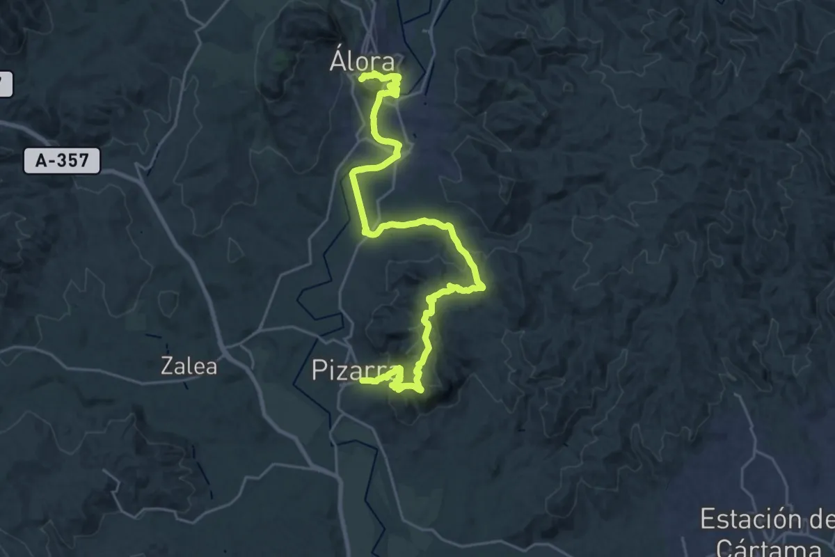
Medium · Trail
Pizarra - Álora
15.3 km · ↑ 554 m · 4 h 58 min · under 1 km away
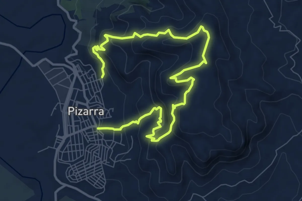
Medium · Trail
El Santo
6.3 km · ↑ 478 m · 2 h 35 min · under 1 km away
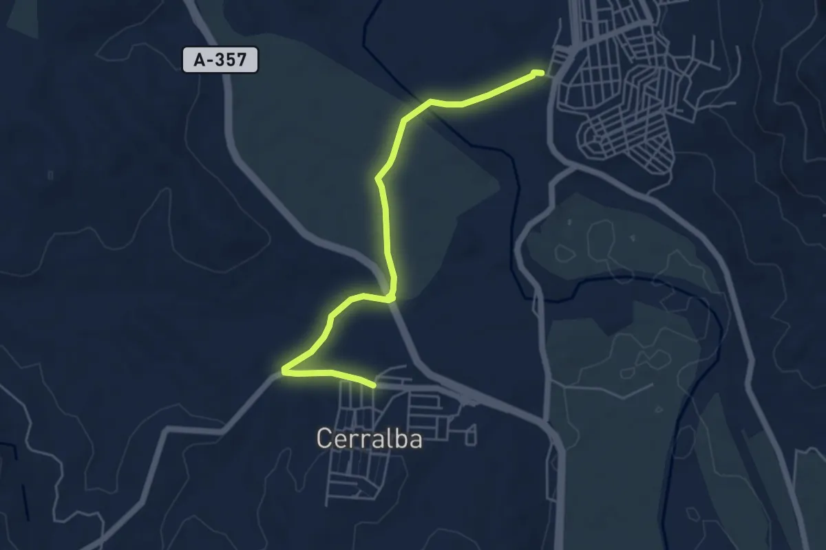
Easy · Trail
Pizarra - Cerralba
5.8 km · ↑ 31 m · 1 h 26 min · 1 km away
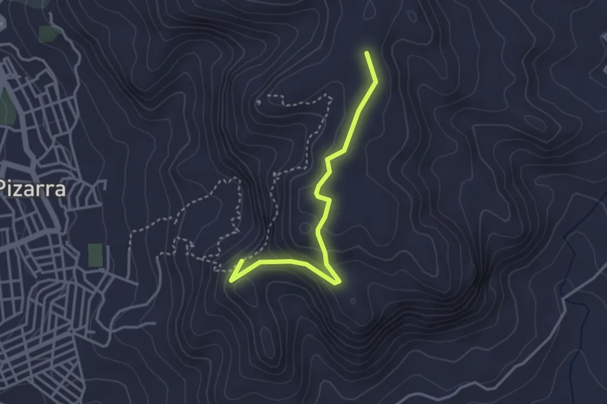
Medium · Trail
Sendero El Santo (itinerario alternativo)
3.5 km · ↑ 157 m · 1 h 10 min · 1 km away
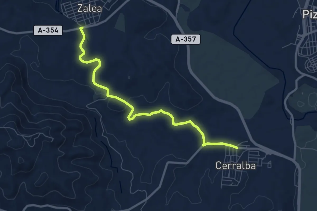
Medium · Trail
Cerralba - Zalea
8.4 km · ↑ 103 m · 2 h 12 min · 2 km away
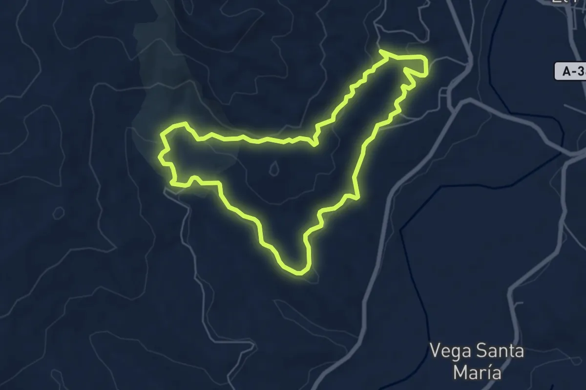
Easy · Trail
Ruta Canca
6.4 km · ↑ 166 m · 1 h 58 min · 5 km away
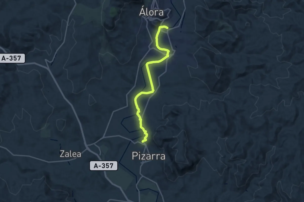
Medium · Trail
Álora - Pizarra
15.1 km · ↑ 153 m · 3 h 53 min · 6 km away
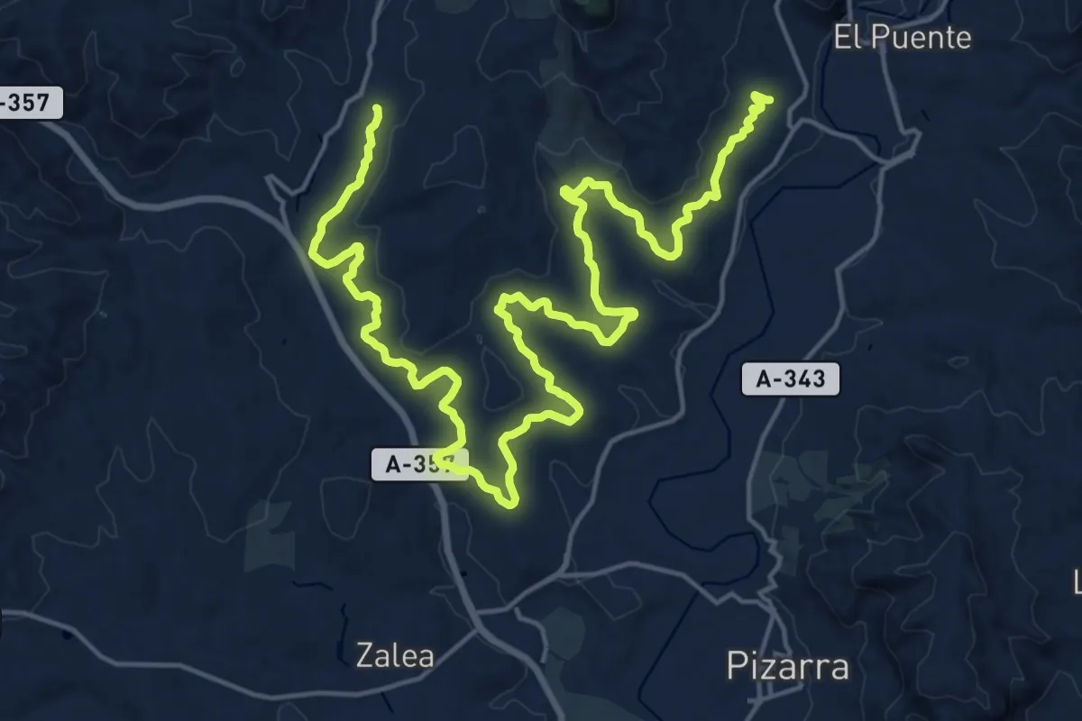
Medium · Trail
Ruta Canca Familiar
15.4 km · ↑ 222 m · 4 h 20 min · 6 km away
Medium · Trail
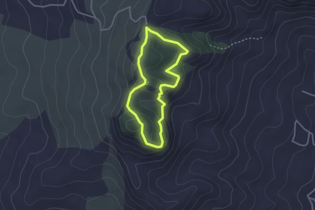
Sendero Monte Redondo
2.5 km · ↑ 108 m · 52 min · 6 km away
Medium · Summit
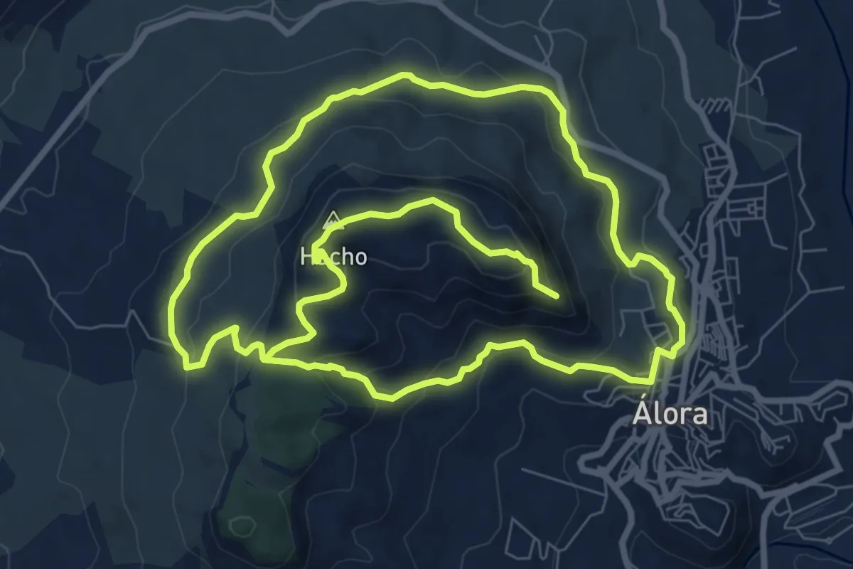
Sendero Monte Hacho
9.3 km · ↑ 416 m · 3 h 14 min · 7 km away
Medium · Trail
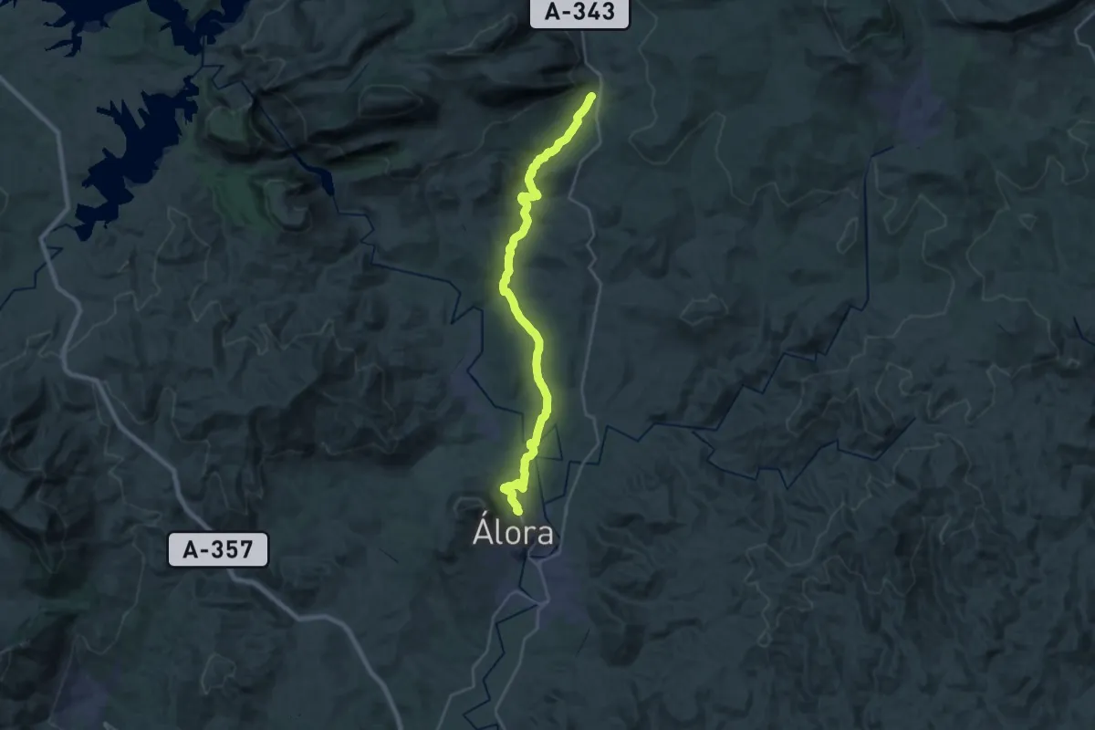
Álora - Valle de Abdalajís
14.5 km · ↑ 343 m · 4 h 19 min · 7 km away
Medium · Trail
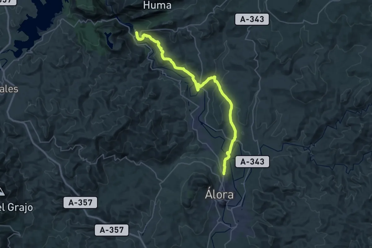
Estación del Chorro - Álora
14.1 km · ↑ 344 m · 4 h 14 min · 8 km away
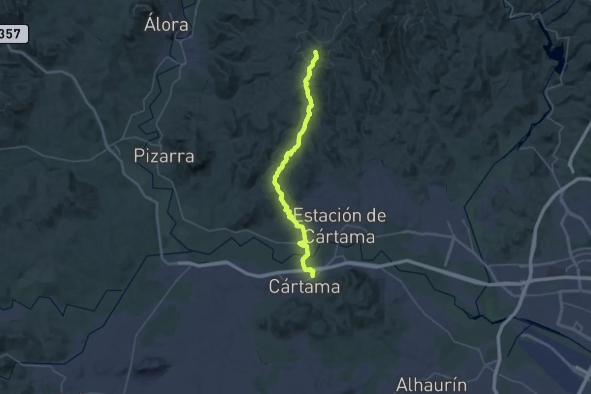
Medium · Trail
Tres Cruces
14.4 km · ↑ 180 m · 4 h 15 min · 9 km away
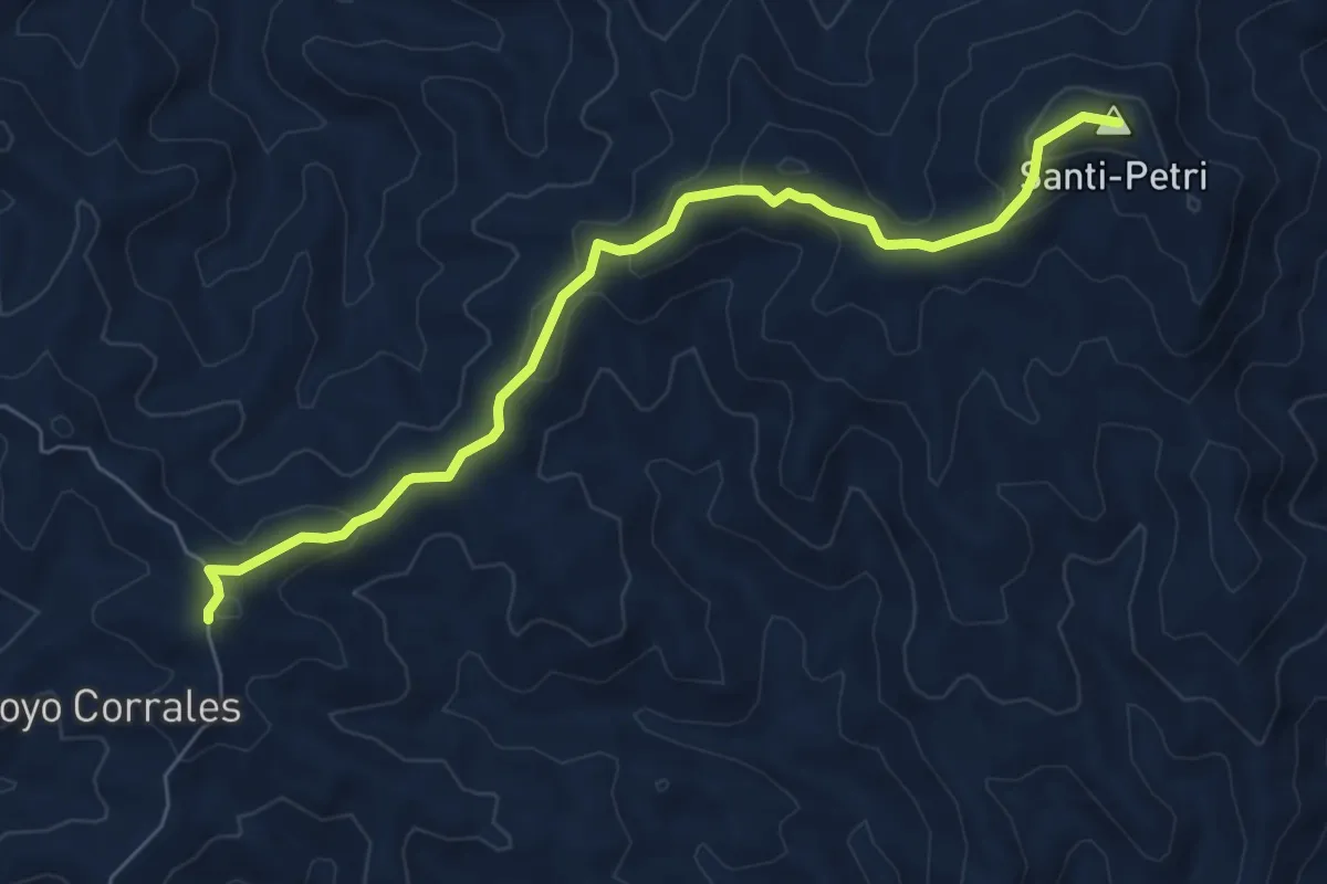
Medium · Summit
Ruta del Santi-Petri - Ermita de las Tres Cruces
7.9 km · ↑ 346 m · 2 h 36 min · 9 km away
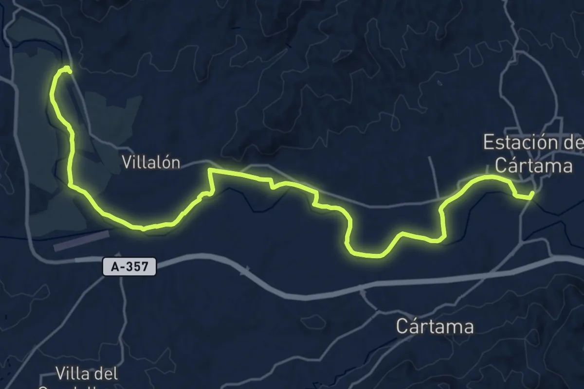
Demanding · Trail
Pizarra - Estación de Cártama
26.9 km · ↑ 110 m · 6 h 35 min · 9 km away
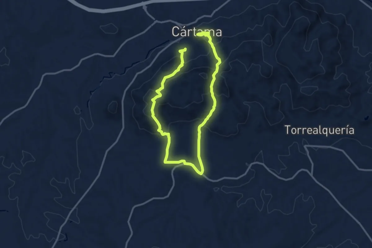
Medium · Trail
Sierra de los Espartales
8.8 km · ↑ 432 m · 3 h 9 min · 9 km away
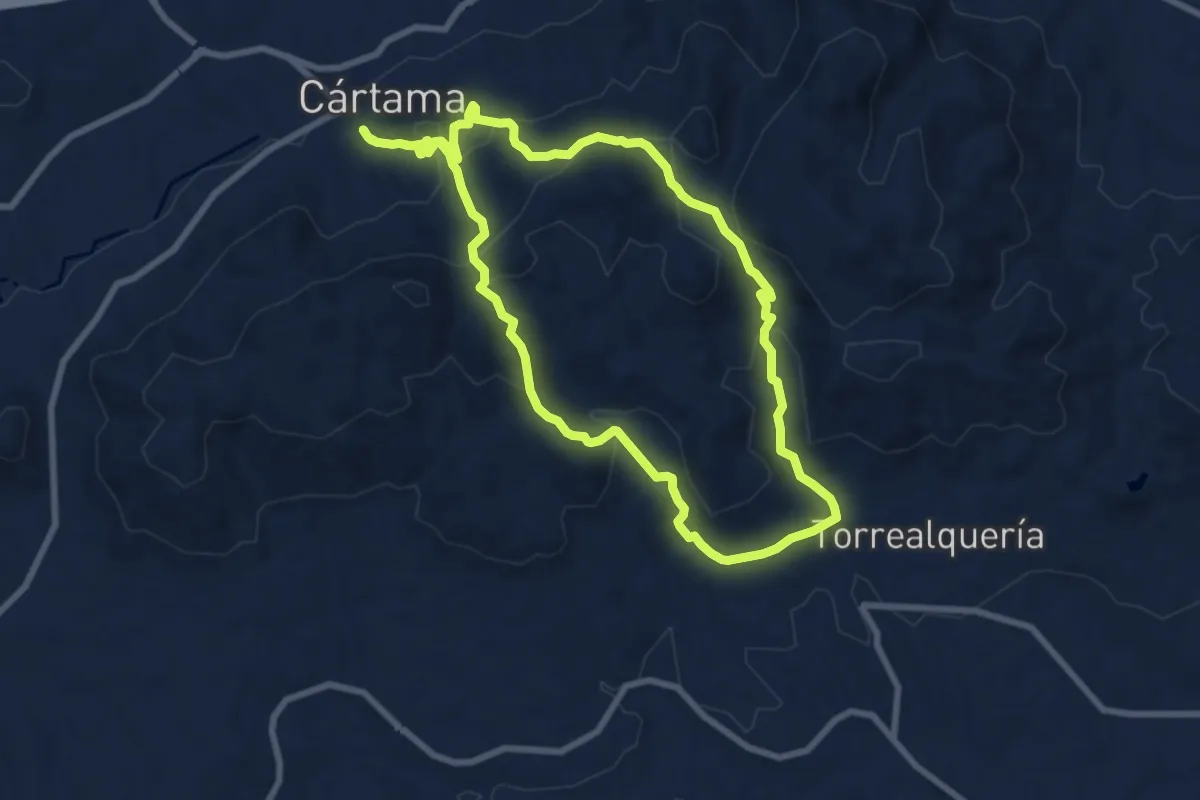
Medium · Trail
Circular de Torrealquería
9.4 km · ↑ 417 m · 3 h 16 min · 10 km away
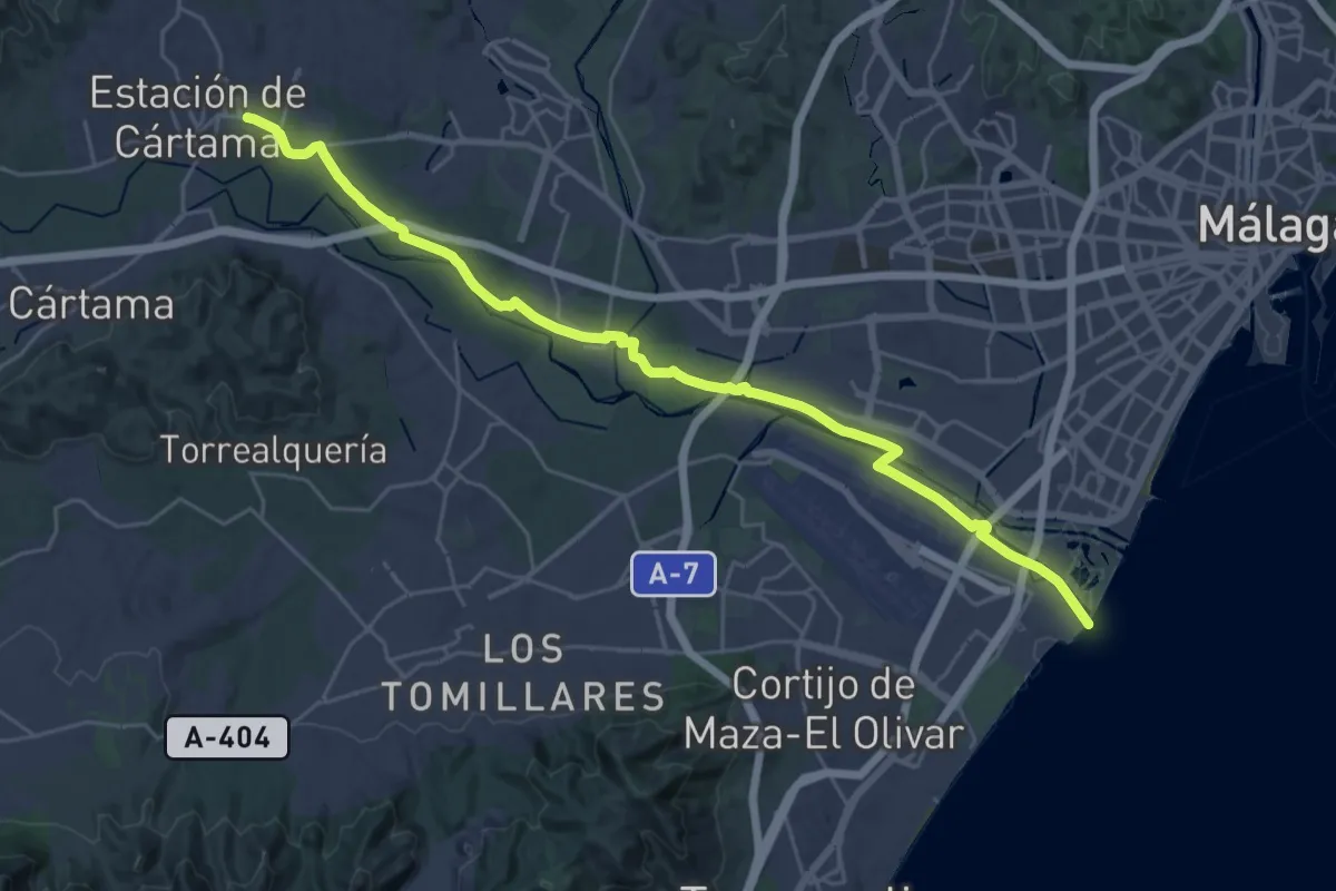
Medium · Trail
Estación de Cártama - Málaga
17.7 km · ↑ 31 m · 4 h 30 min · 10 km away
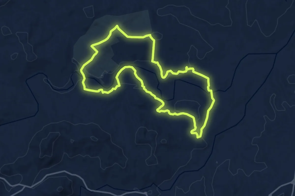
Medium · Trail
Los Dos Ríos
13.2 km · ↑ 217 m · 3 h 46 min · 10 km away
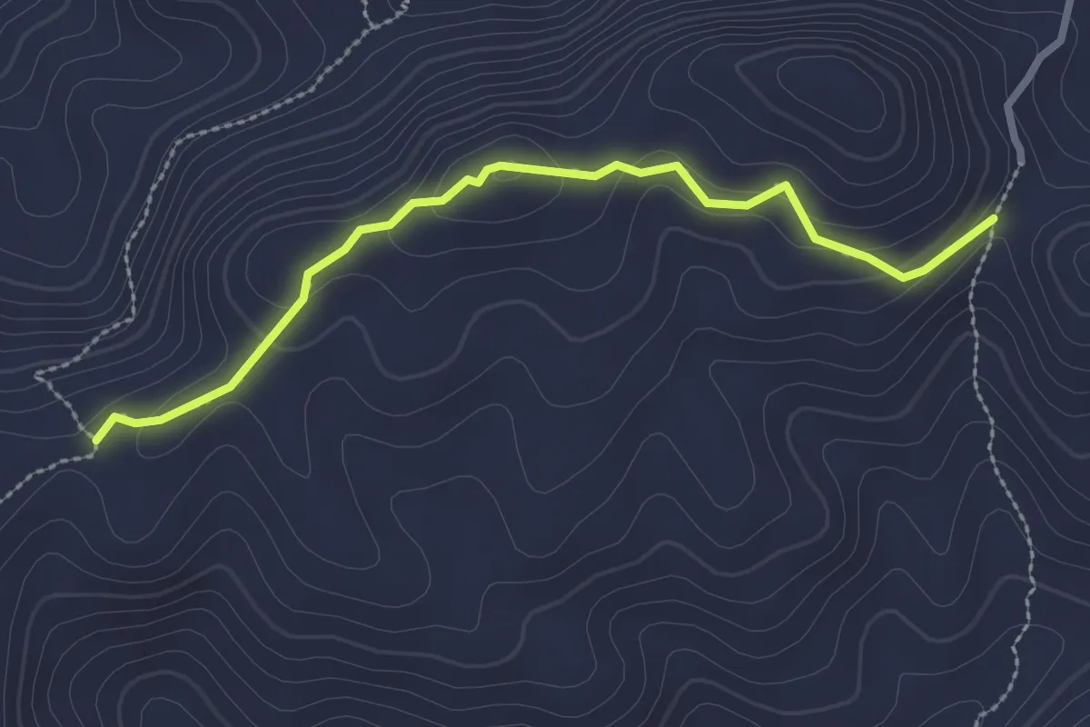
Medium · Trail
Viñas Viejas
3.0 km · ↑ 121 m · 59 min · 10 km away
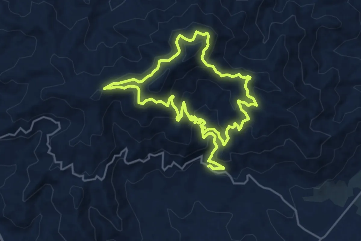
Medium · Summit
Ruta Sierra de Aguas
12.3 km · ↑ 646 m · 4 h 32 min · 10 km away
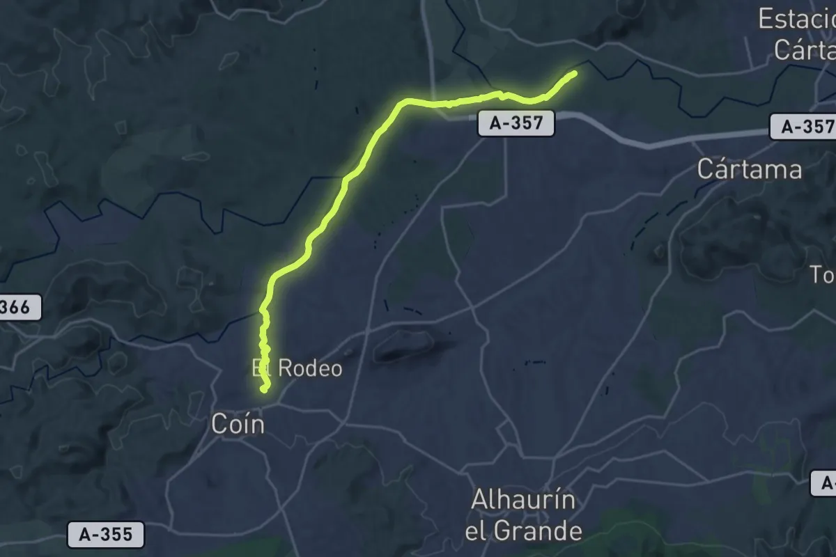
Demanding · Trail
Sendero Fluvial Coín - Guadalhorce
24.0 km · ↑ 122 m · 5 h 56 min · 12 km away
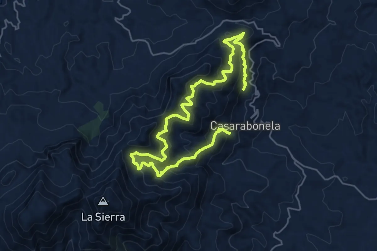
Medium · Trail
Camino de la Dehesa - Fuente de los Hornaos
12.3 km · ↑ 774 m · 4 h 44 min · 13 km away
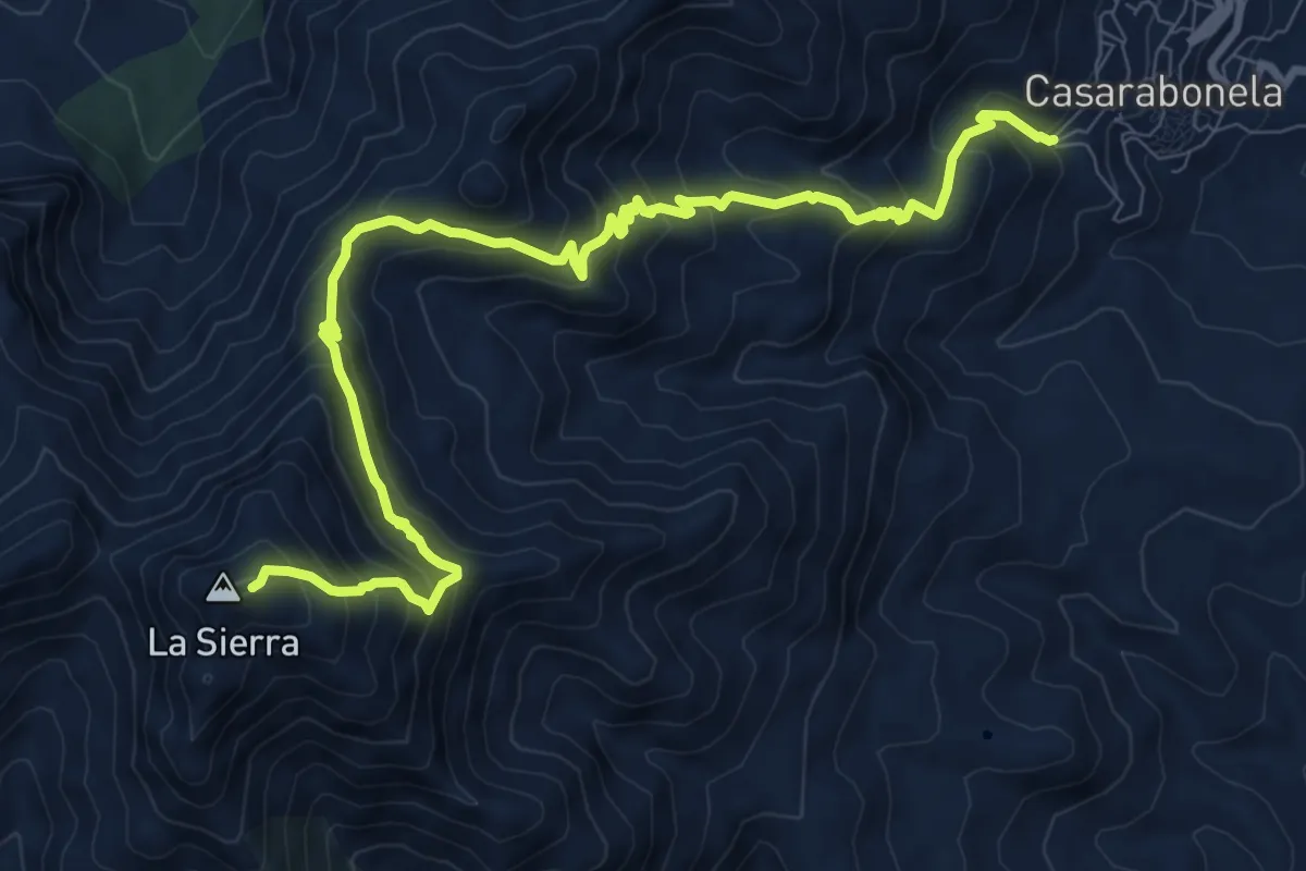
Demanding · Summit
Casarabonela - Sierra Prieta
12.8 km · ↑ 1124 m · 5 h 27 min · 13 km away
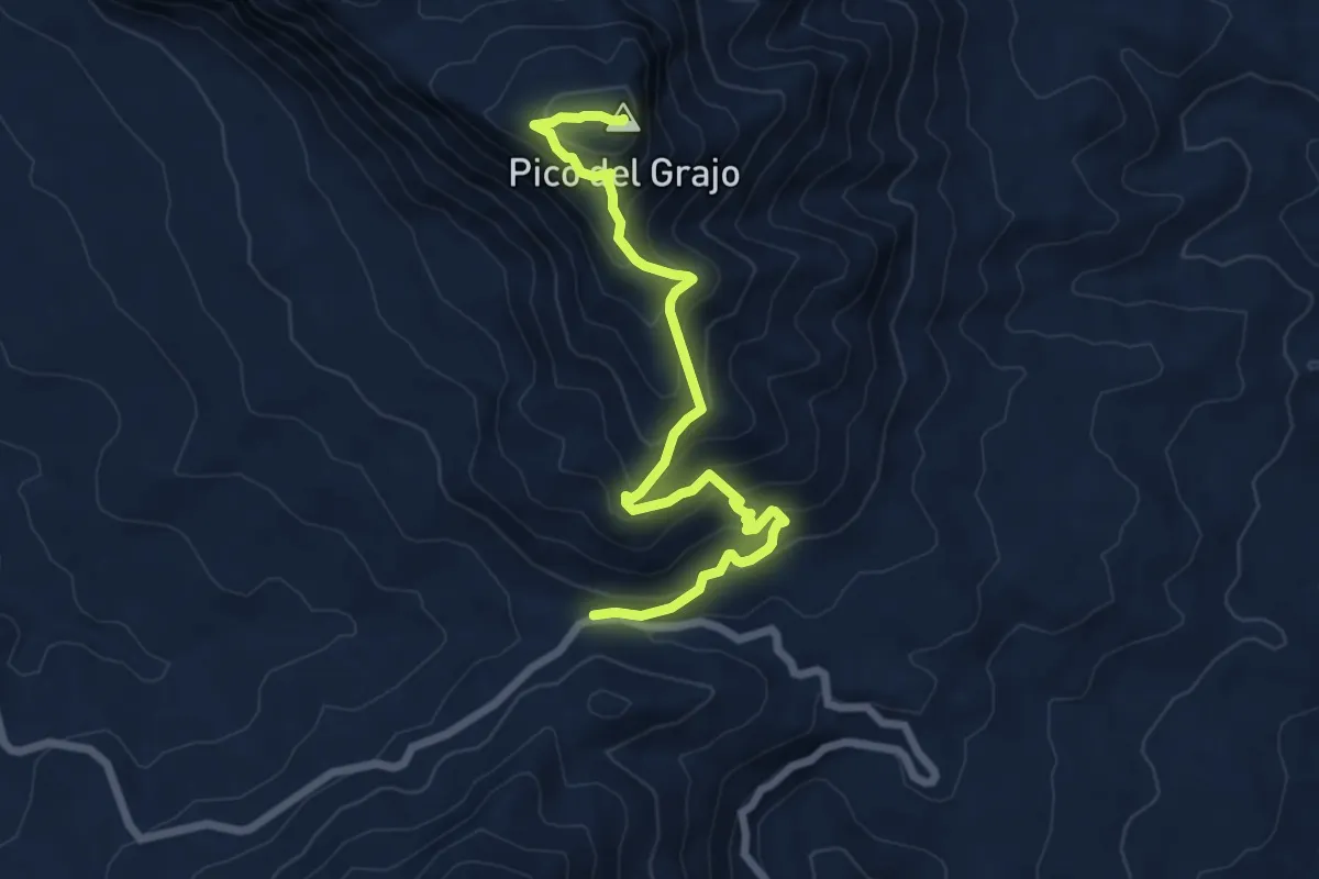
Medium · Summit
Puerto Martínez - Alcaparaín
8.5 km · ↑ 666 m · 3 h 27 min · 13 km away
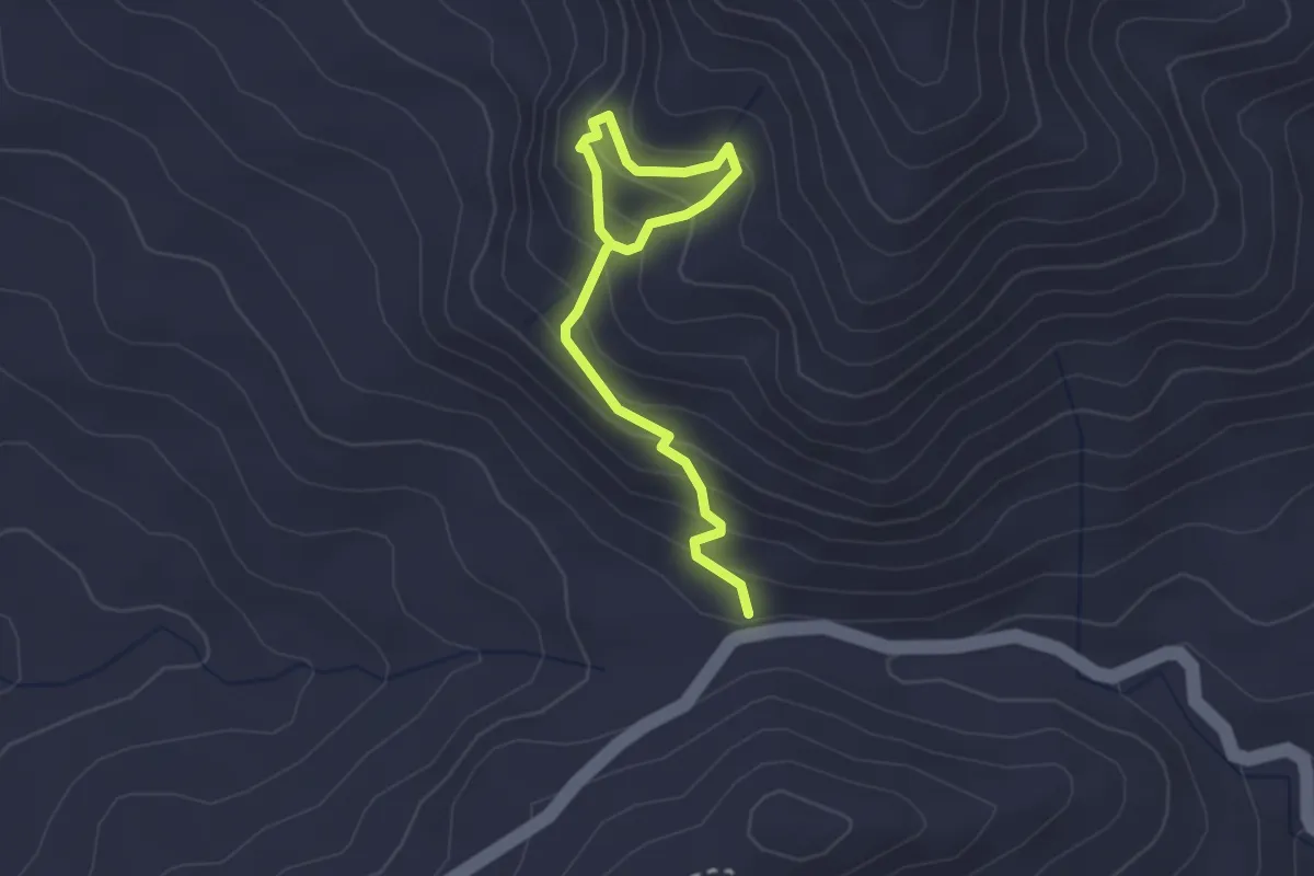
Easy · Trail
Puerto Martínez - Fuente Madrid
1.6 km · ↑ 196 m · 46 min · 13 km away
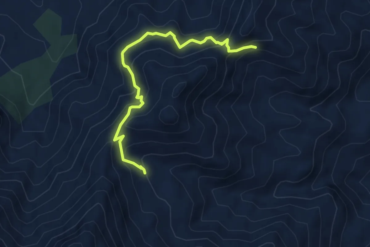
Medium · Trail
Variante PR-A 270
6.1 km · ↑ 556 m · 2 h 39 min · 14 km away
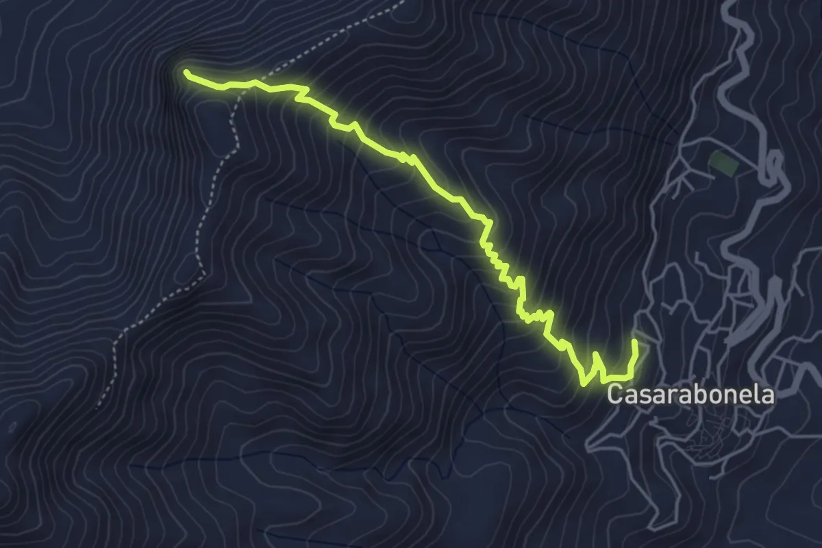
Medium · Trail
Casarabonela - Tajo San Francisco
5.9 km · ↑ 558 m · 2 h 36 min · 14 km away
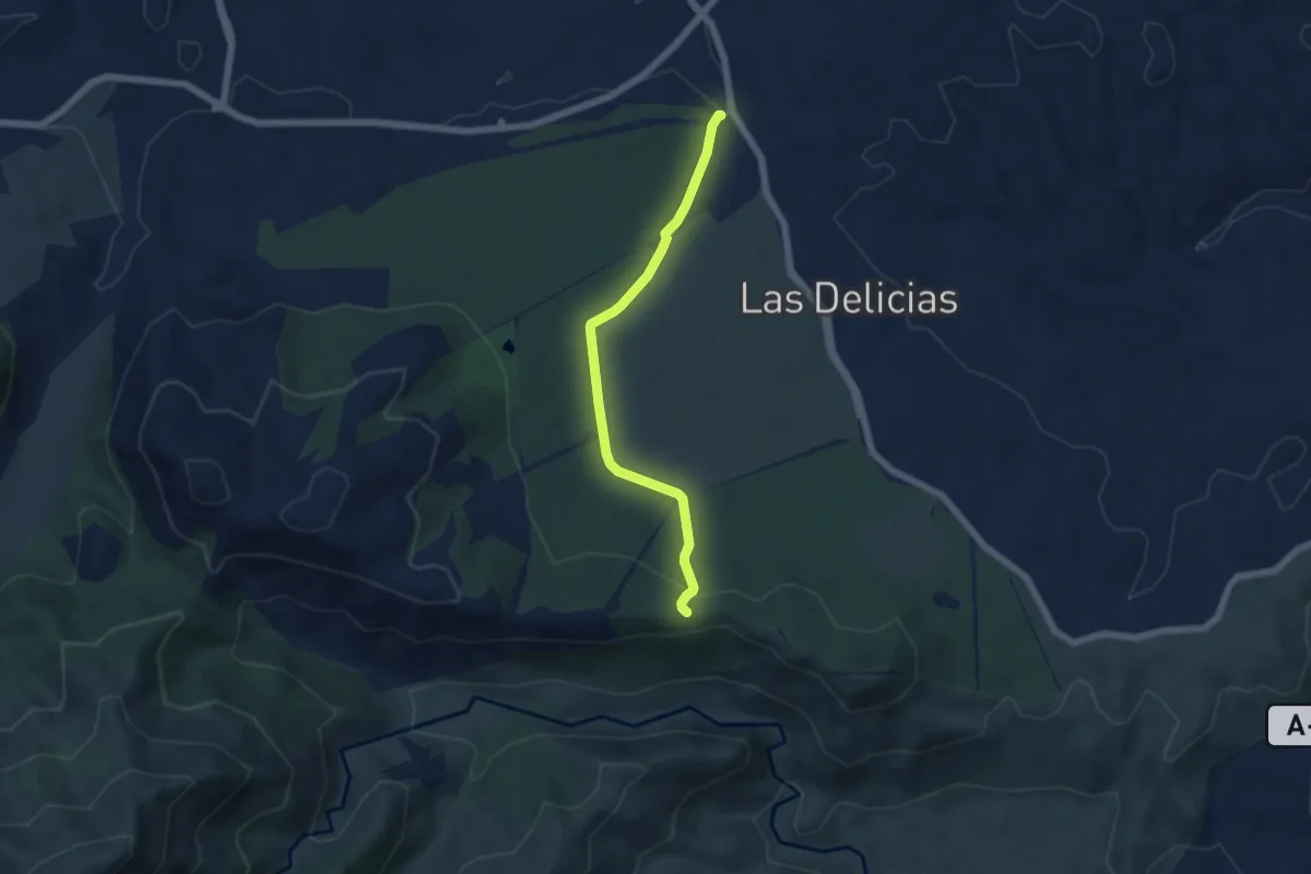
Easy · Trail
Camino de la Fuente - Llanos de Matagallar
6.1 km · ↑ 127 m · 1 h 43 min · 15 km away
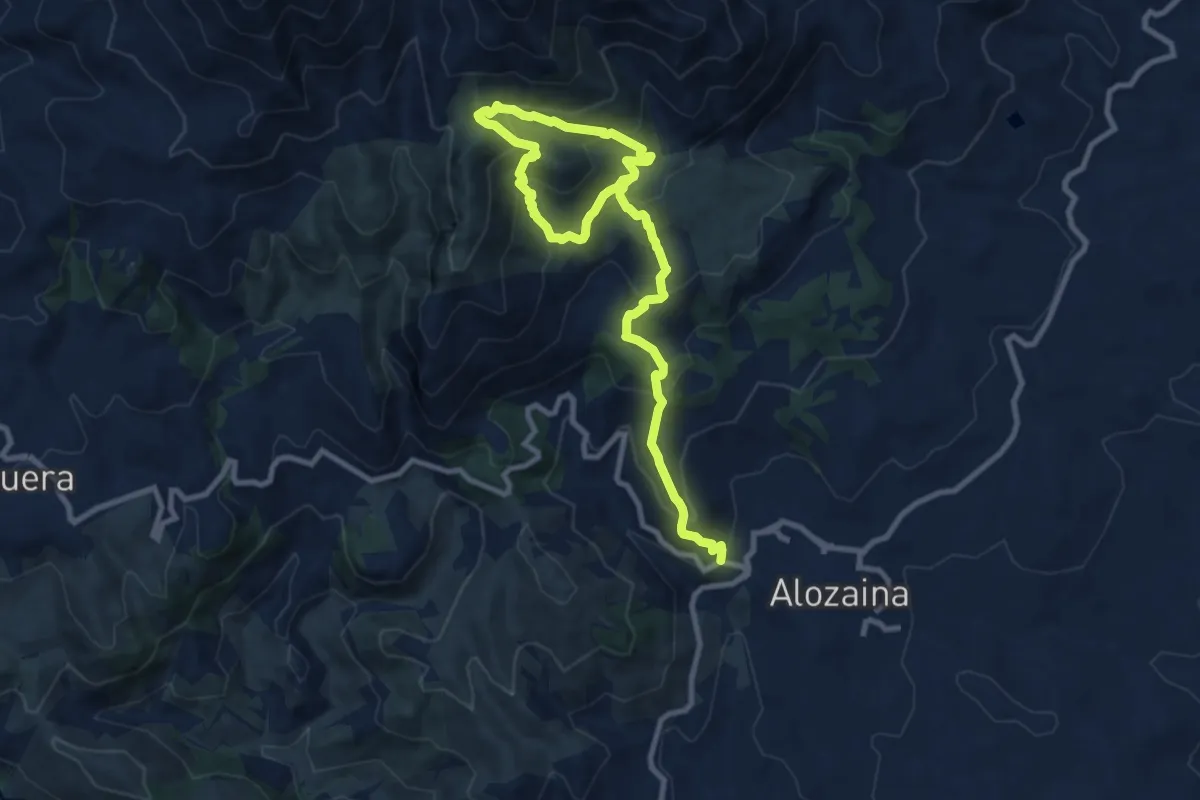
Demanding · Trail
Alozaina - Siete Fuentes
14.3 km · ↑ 936 m · 5 h 24 min · 15 km away
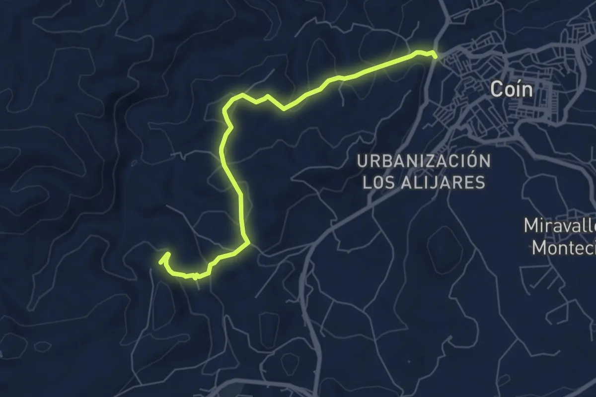
Easy · Trail
Camino de la Ermita (por los Alberos)
7.6 km · ↑ 285 m · 2 h 25 min · 15 km away