Trails near Platja d'Aro
17 hikes starting within 15 km, nearest first.
Nearest first
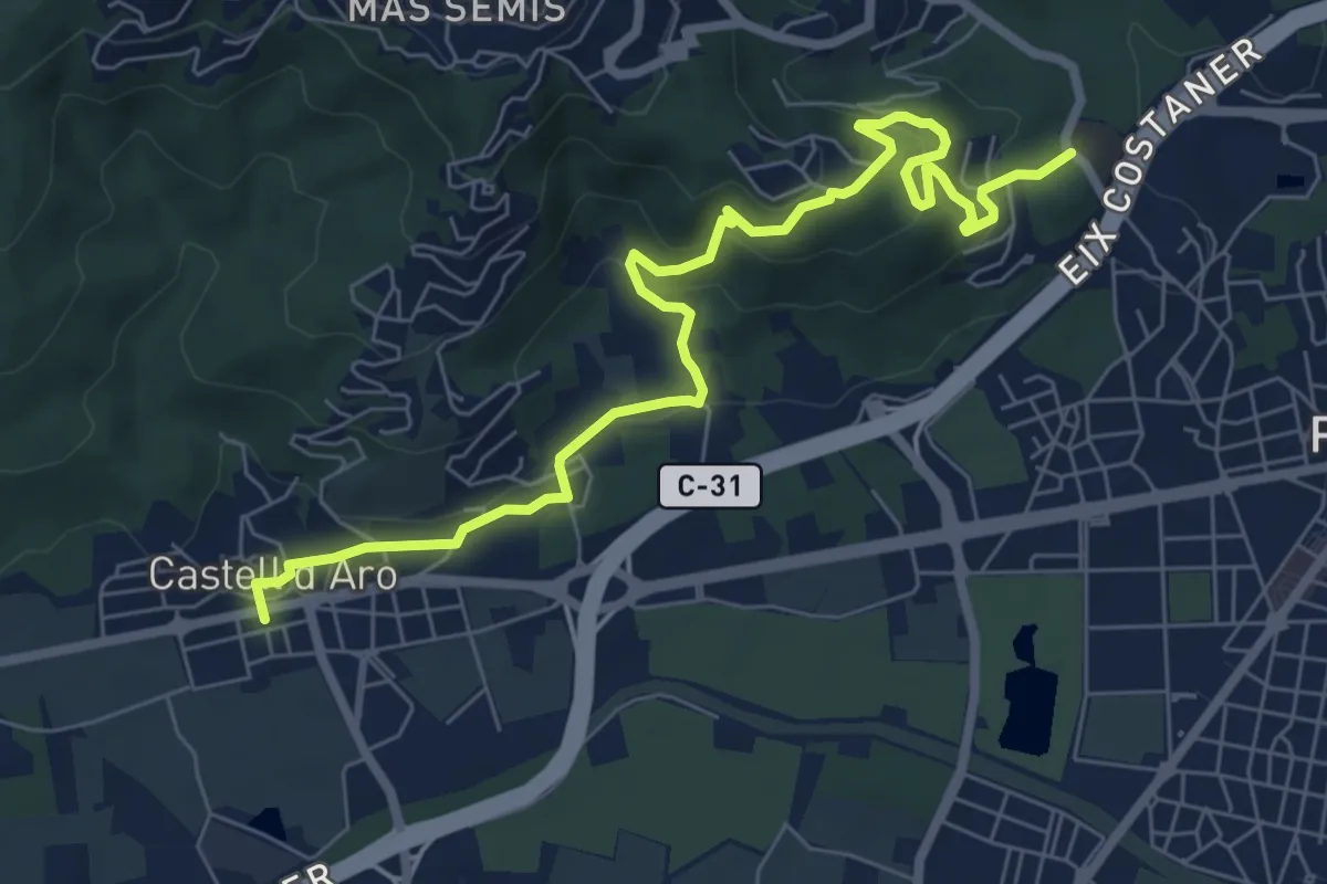
Medium · Trail
Roques Martines
8.9 km · ↑ 378 m · 2 h 56 min · 1 km away
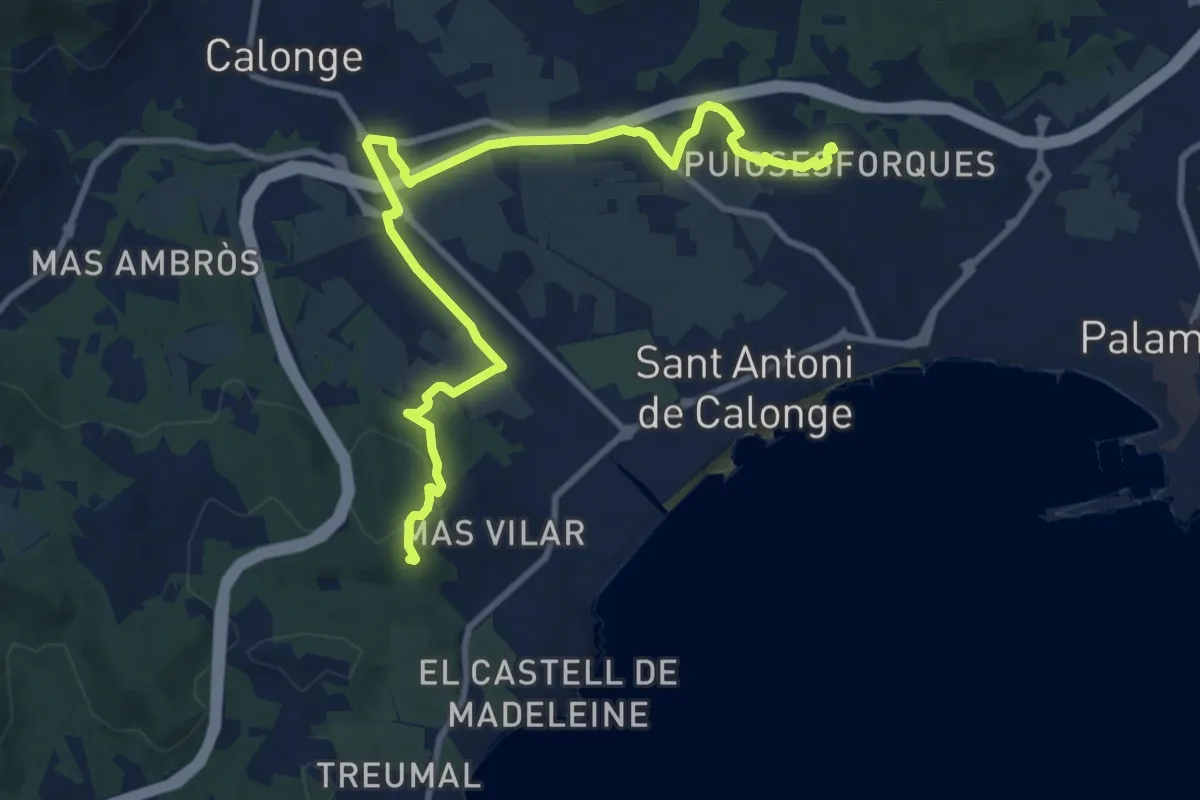
Medium · Summit
Puig ses Forques
12.4 km · ↑ 181 m · 3 h 19 min · 3 km away
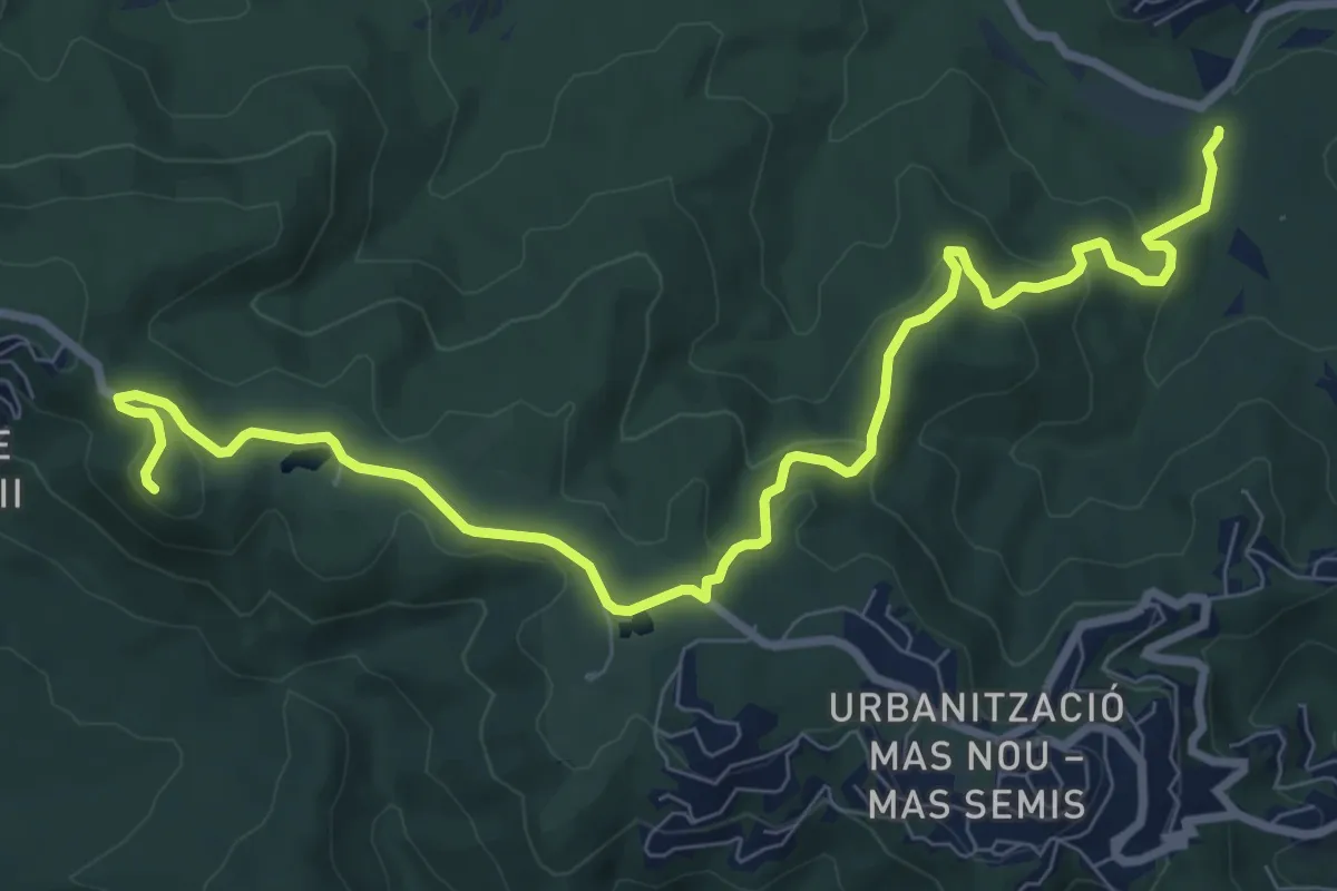
Medium · Summit
Santa Maria de Fenals
10.9 km · ↑ 353 m · 3 h 20 min · 4 km away
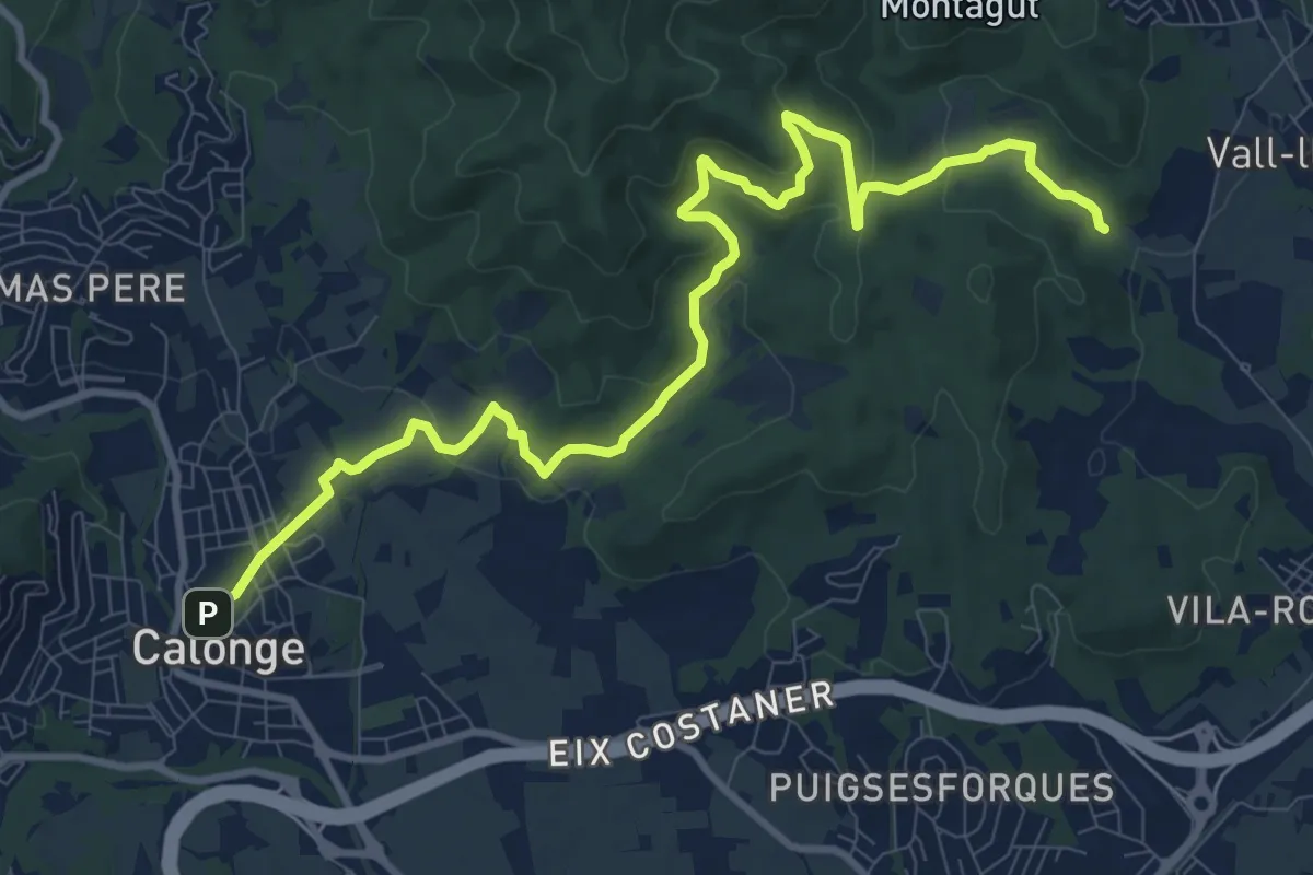
Medium · Trail
Santa Maria de Bell-lloc
13.0 km · ↑ 384 m · 3 h 53 min · 5 km away
Medium · Summit
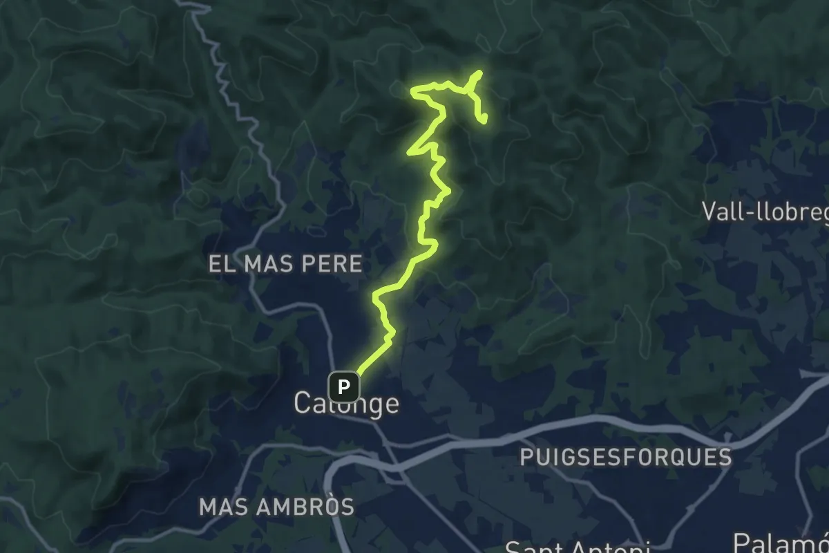
Puig del Cargol
12.3 km · ↑ 584 m · 4 h 10 min · 5 km away
Demanding · Trail
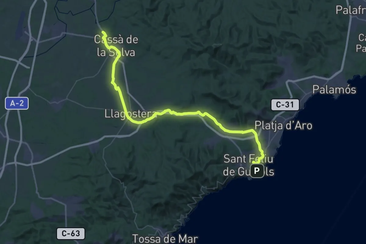
Ruta del carrillet II: "St. Feliu-Girona"
29.4 km · ↑ 240 m · 7 h 48 min · 5 km away
Demanding · Summit
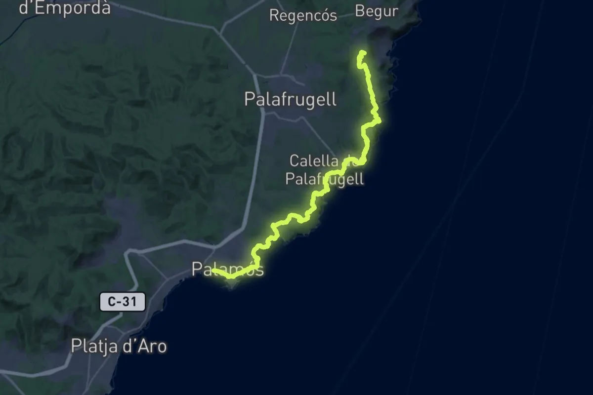
Catalunya E08
41.3 km · ↑ 1303 m · 12 h 35 min · 5 km away
Demanding · Summit
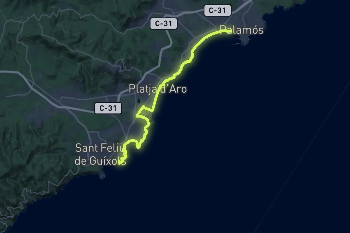
Catalunya E09
30.8 km · ↑ 632 m · 8 h 39 min · 5 km away
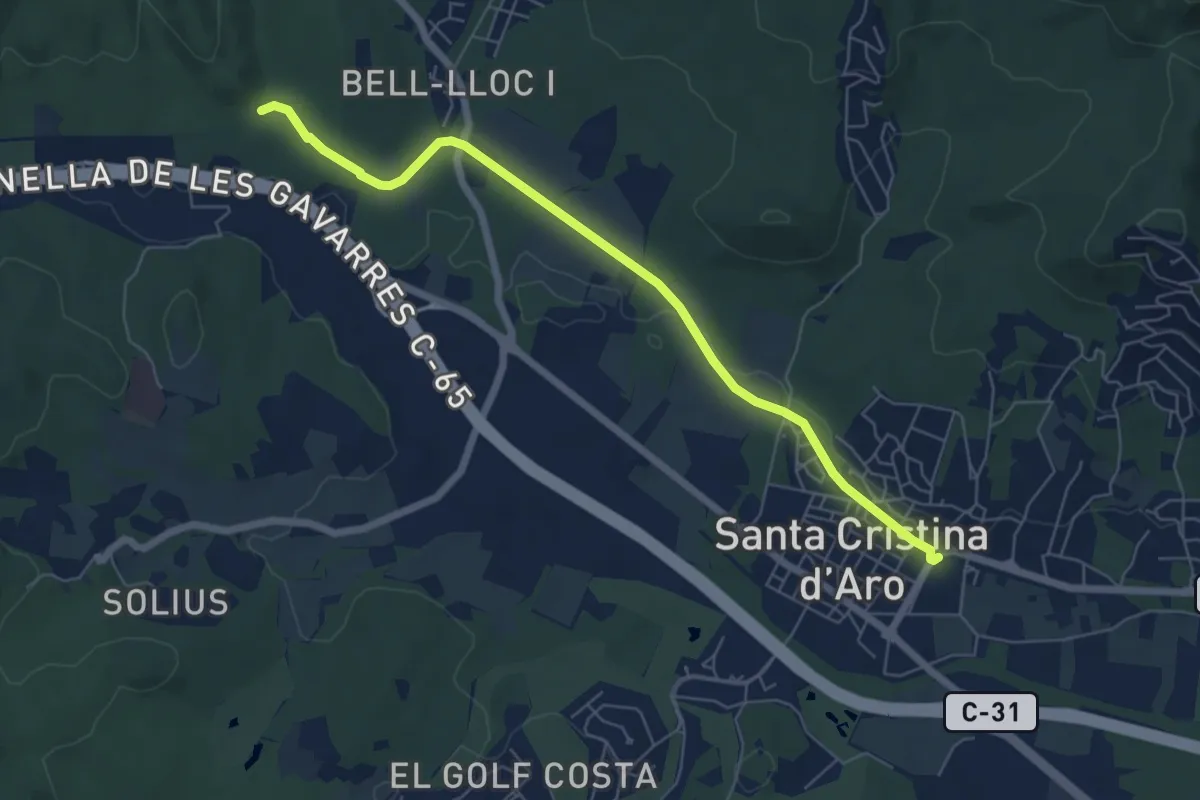
Easy · Trail
Pont de Salenys
7.0 km · ↑ 26 m · 1 h 43 min · 6 km away
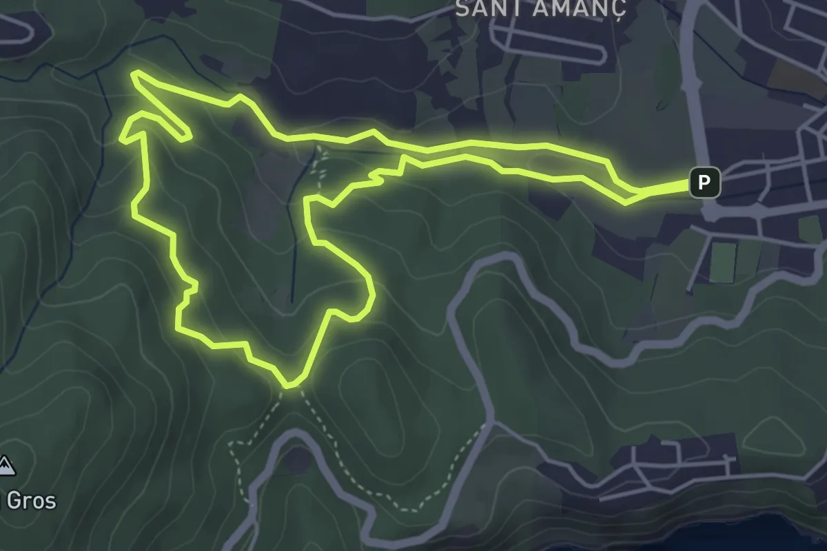
Easy · Summit
Vall de la Mascanada
5.1 km · ↑ 172 m · 1 h 39 min · 6 km away
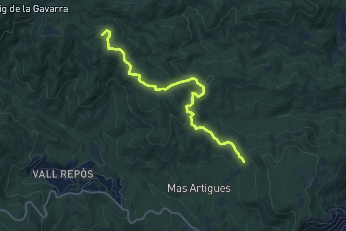
Medium · Summit
Estanyots del Castell
9.5 km · ↑ 300 m · 2 h 54 min · 6 km away
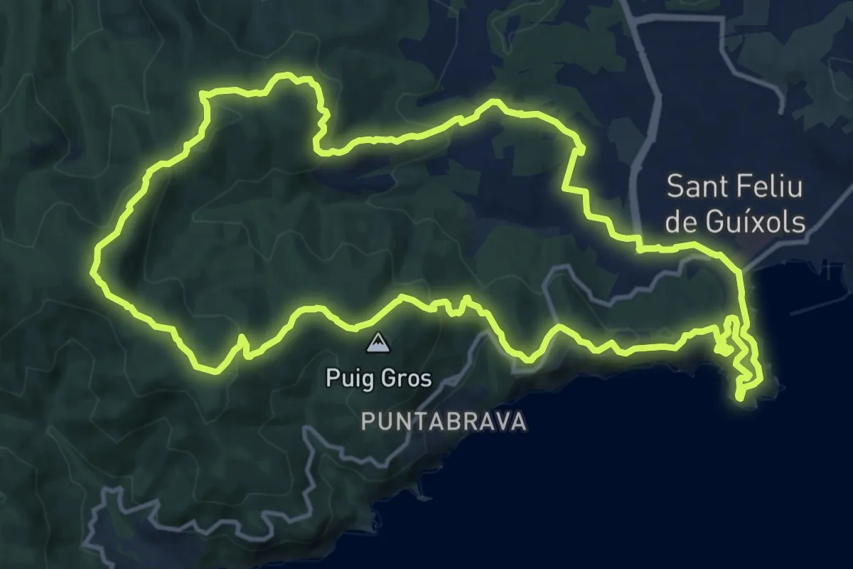
Medium · Summit
Sant Feliu de Guixols-Pedralta-Sant Benet
15.9 km · ↑ 553 m · 5 h 10 min · 6 km away
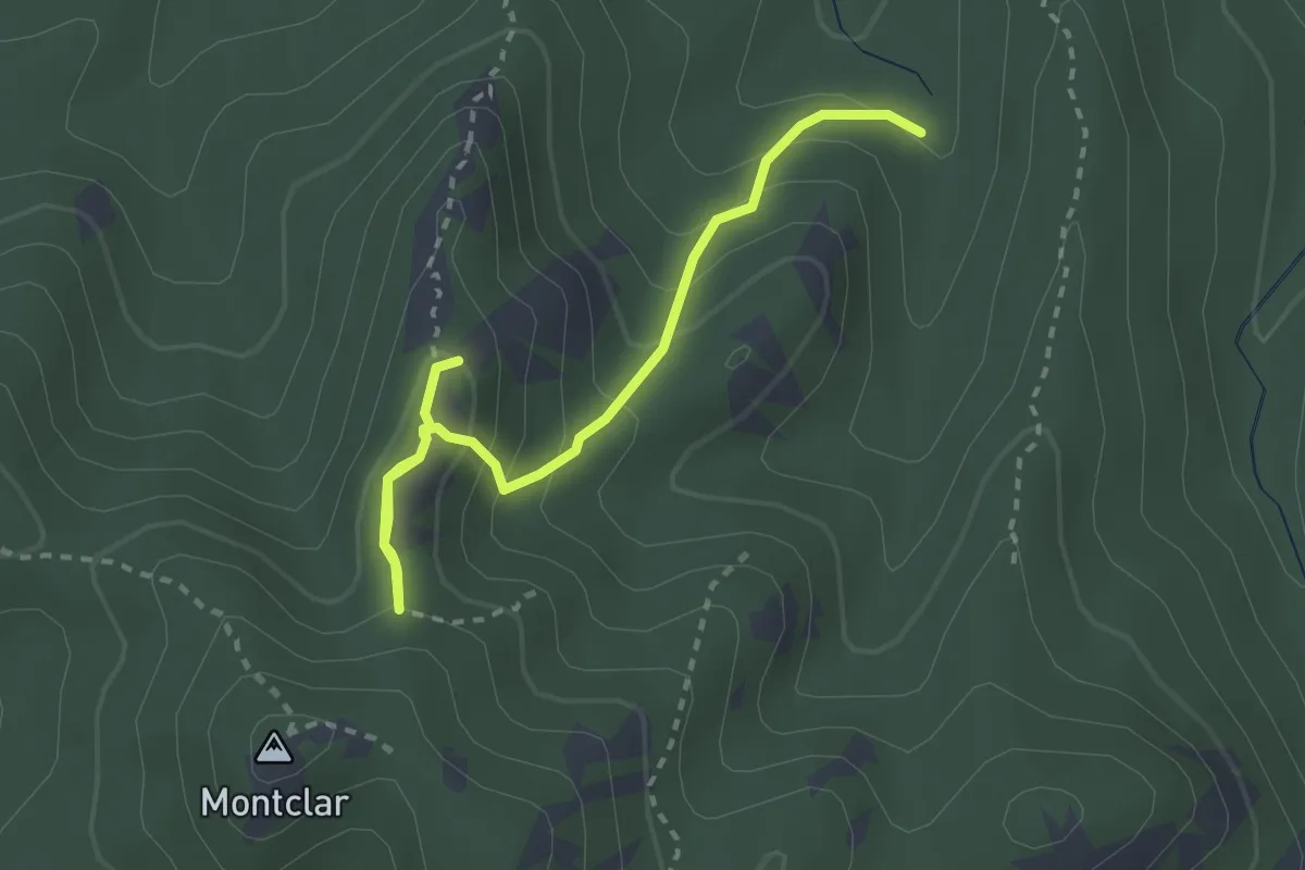
Demanding · Summit
Carcaixells d'en Dalmau i de la Roca Rodona
3.2 km · ↑ 236 m · 1 h 16 min · 9 km away
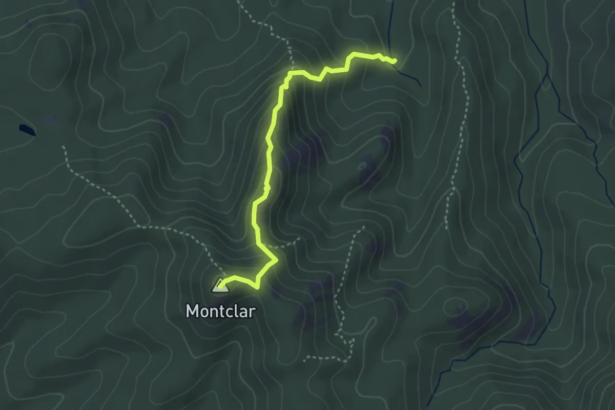
Demanding · Summit
Carcaixells d'en Dalmau i de la Roca Rodona
3.6 km · ↑ 279 m · 1 h 27 min · 9 km away
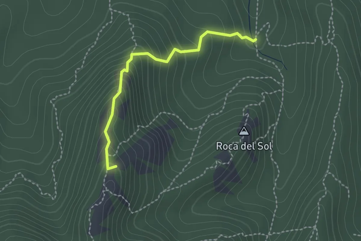
Demanding · Summit
sender local Els Carcaixells
2.1 km · ↑ 185 m · 53 min · 9 km away
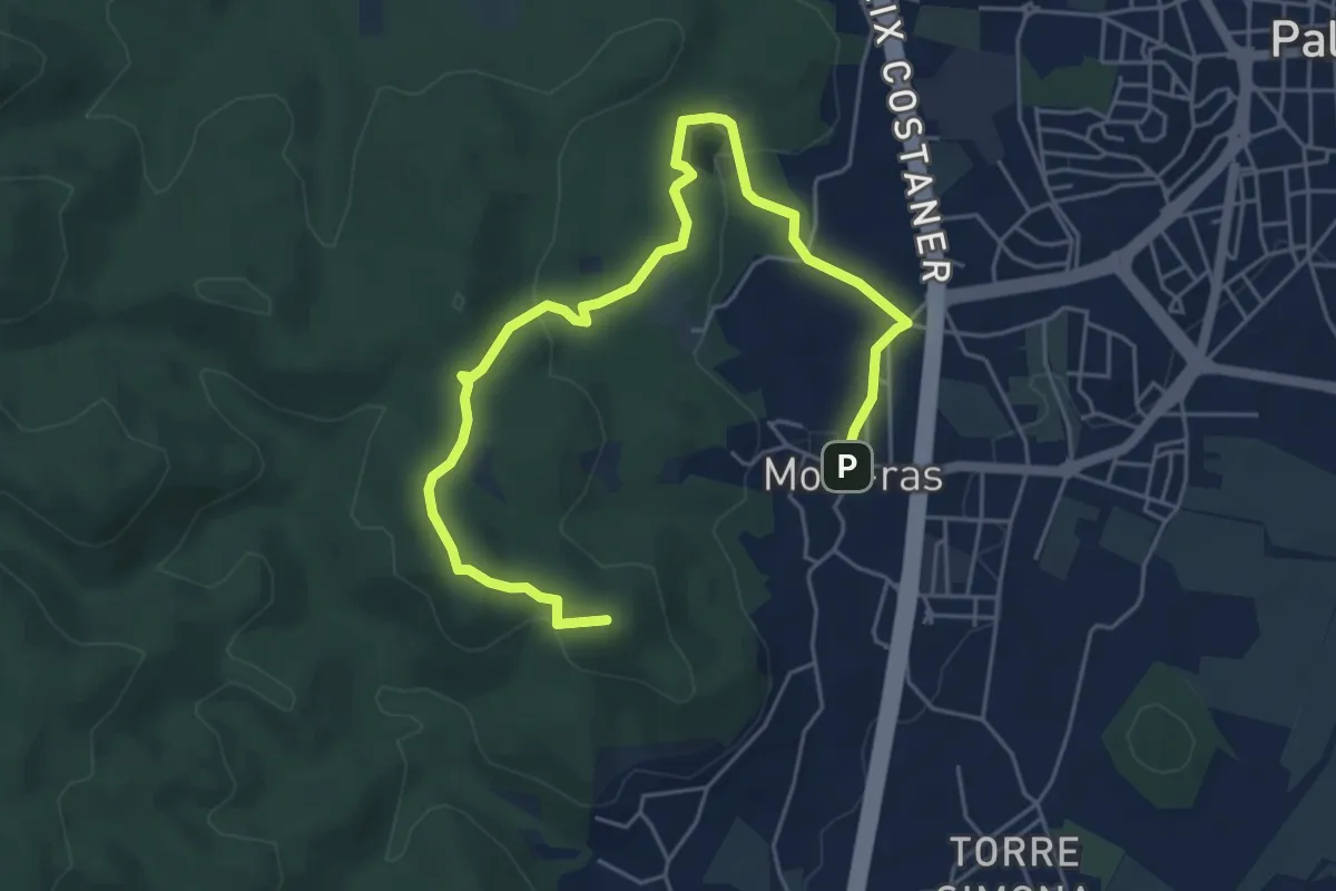
Easy · Summit
Mines de Mont-ras
7.1 km · ↑ 190 m · 2 h 5 min · 12 km away
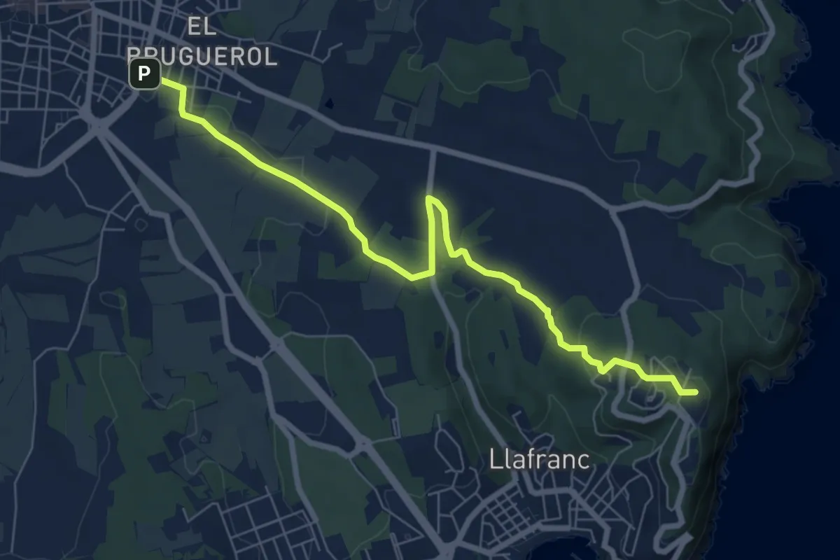
Medium · Summit
poblat ibèric de St. Sebastià de la Guàrdia
8.0 km · ↑ 131 m · 2 h 11 min · 14 km away