Trails near Pontevedra
24 hikes starting within 15 km, nearest first.
Nearest first
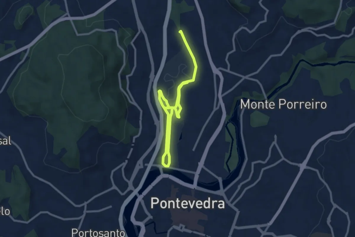
Medium · Trail
Xunqueira de Alba
10.4 km · ↑ 17 m · 2 h 30 min · 2 km away
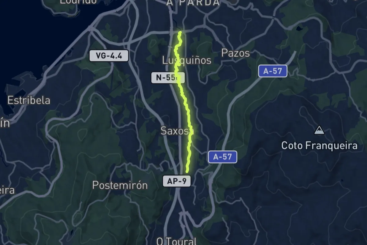
Medium · Trail
Sendeiro fluvial do Río Dos Gafos
11.4 km · ↑ 48 m · 2 h 47 min · 2 km away
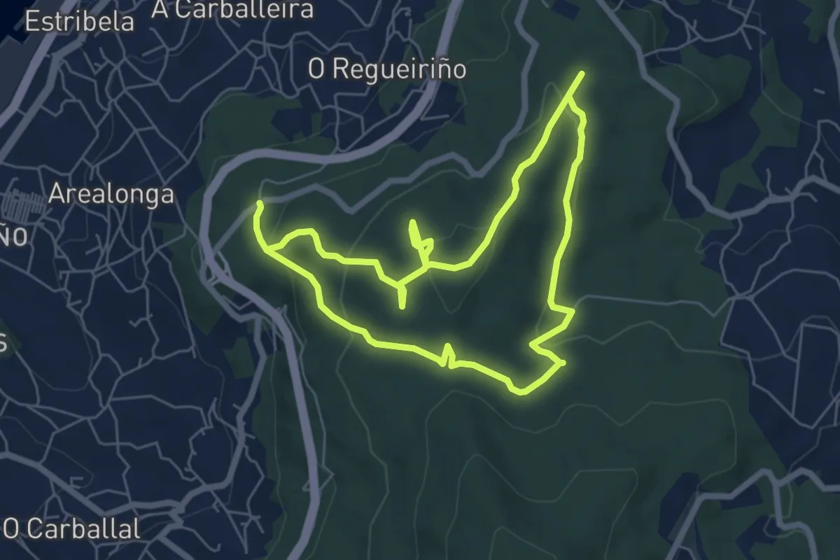
Easy · Trail
Ruta dos Sete Camiños
6.0 km · ↑ 191 m · 1 h 54 min · 5 km away
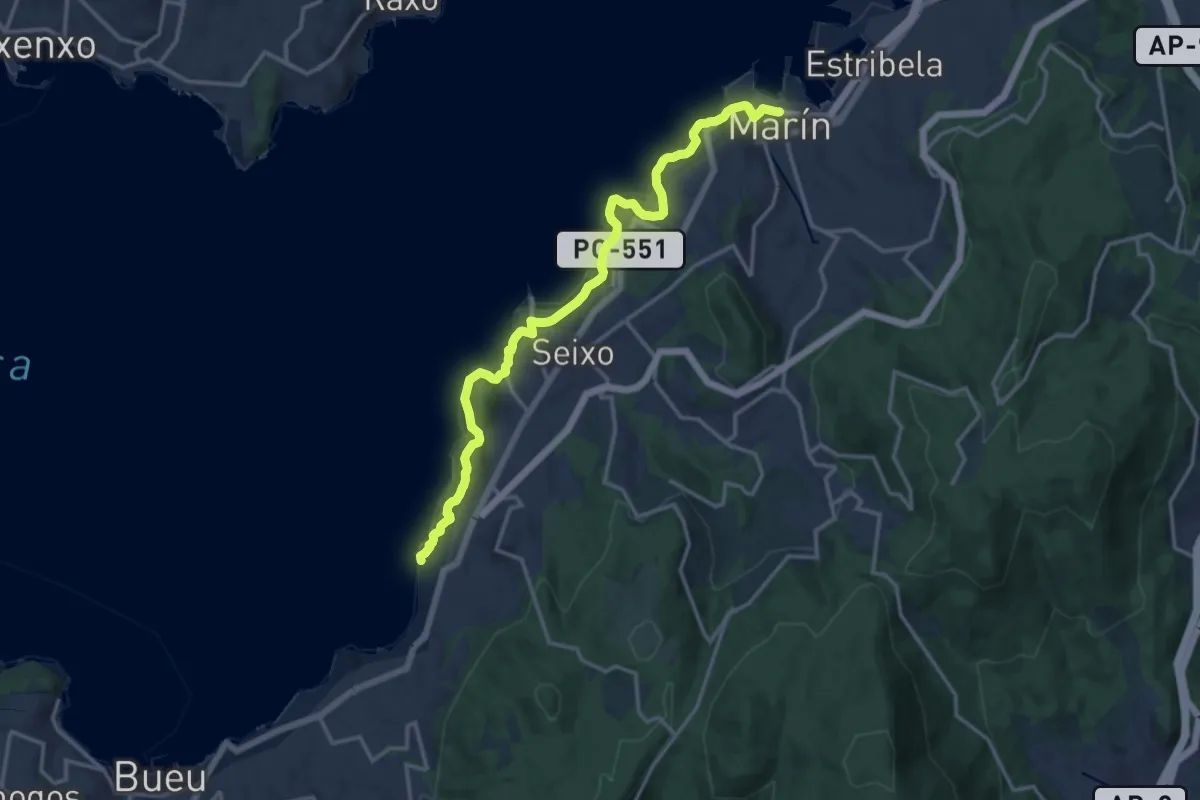
Medium · Trail
Ruta das Praias (Sendeiro Azul)
8.6 km · ↑ 231 m · 2 h 40 min · 7 km away
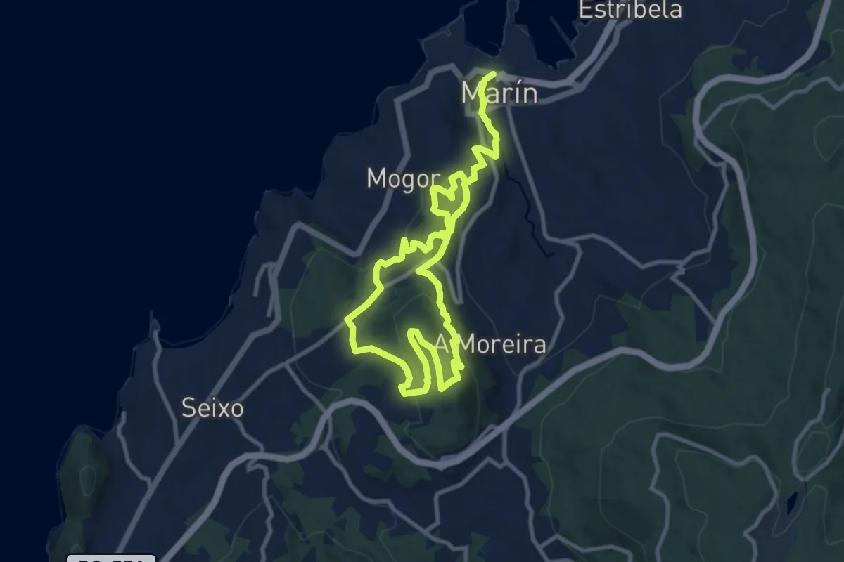
Medium · Trail
Ruta Monte Penizas
8.3 km · ↑ 329 m · 2 h 45 min · 7 km away
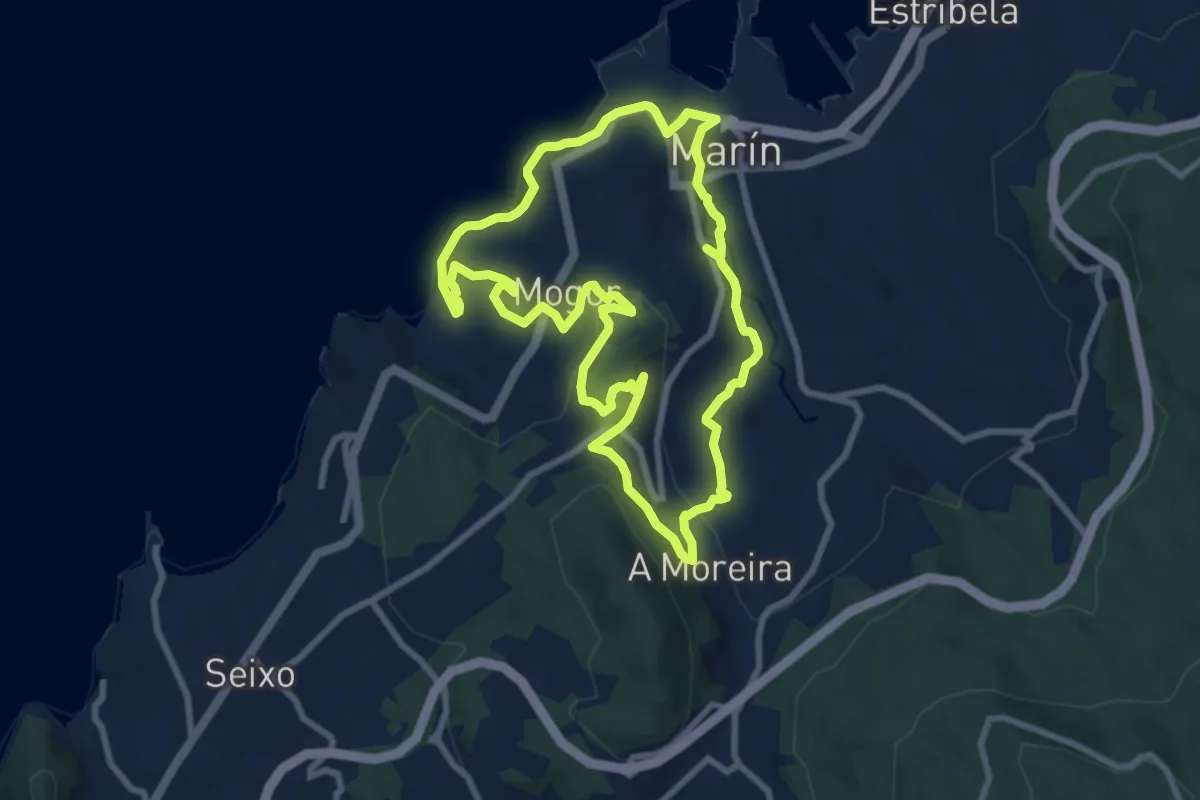
Medium · Trail
Roteiro dos Cinco Miradoiros
8.9 km · ↑ 256 m · 2 h 47 min · 7 km away
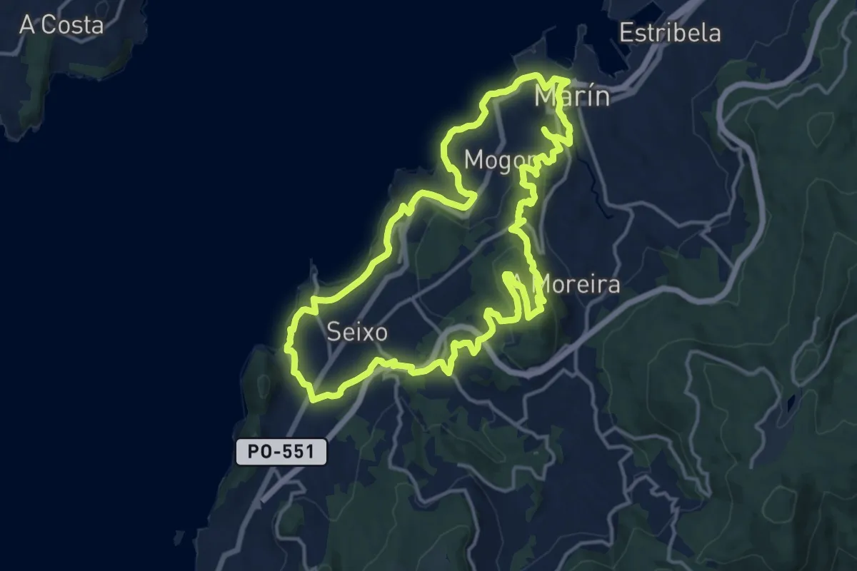
Medium · Trail
Montes e Praias - corta (Sendeiro Azul)
15.5 km · ↑ 425 m · 4 h 48 min · 7 km away
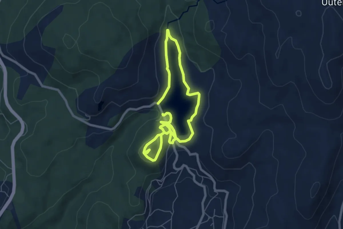
Easy · Trail
Pontillón do Castro
5.2 km · ↑ 130 m · 1 h 35 min · 8 km away
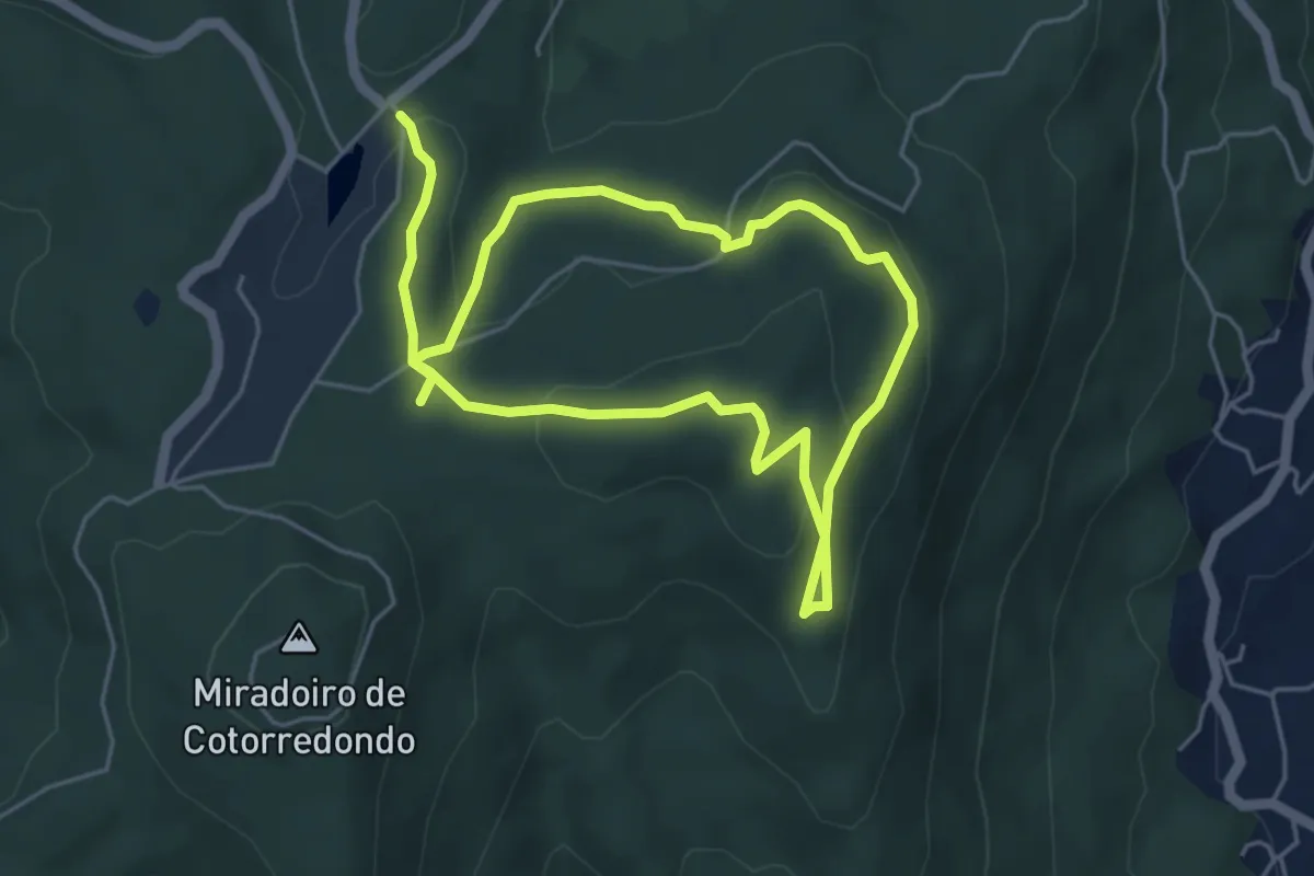
Easy · Trail
Roteiro das Mámoas
4.7 km · ↑ 181 m · 1 h 33 min · 8 km away
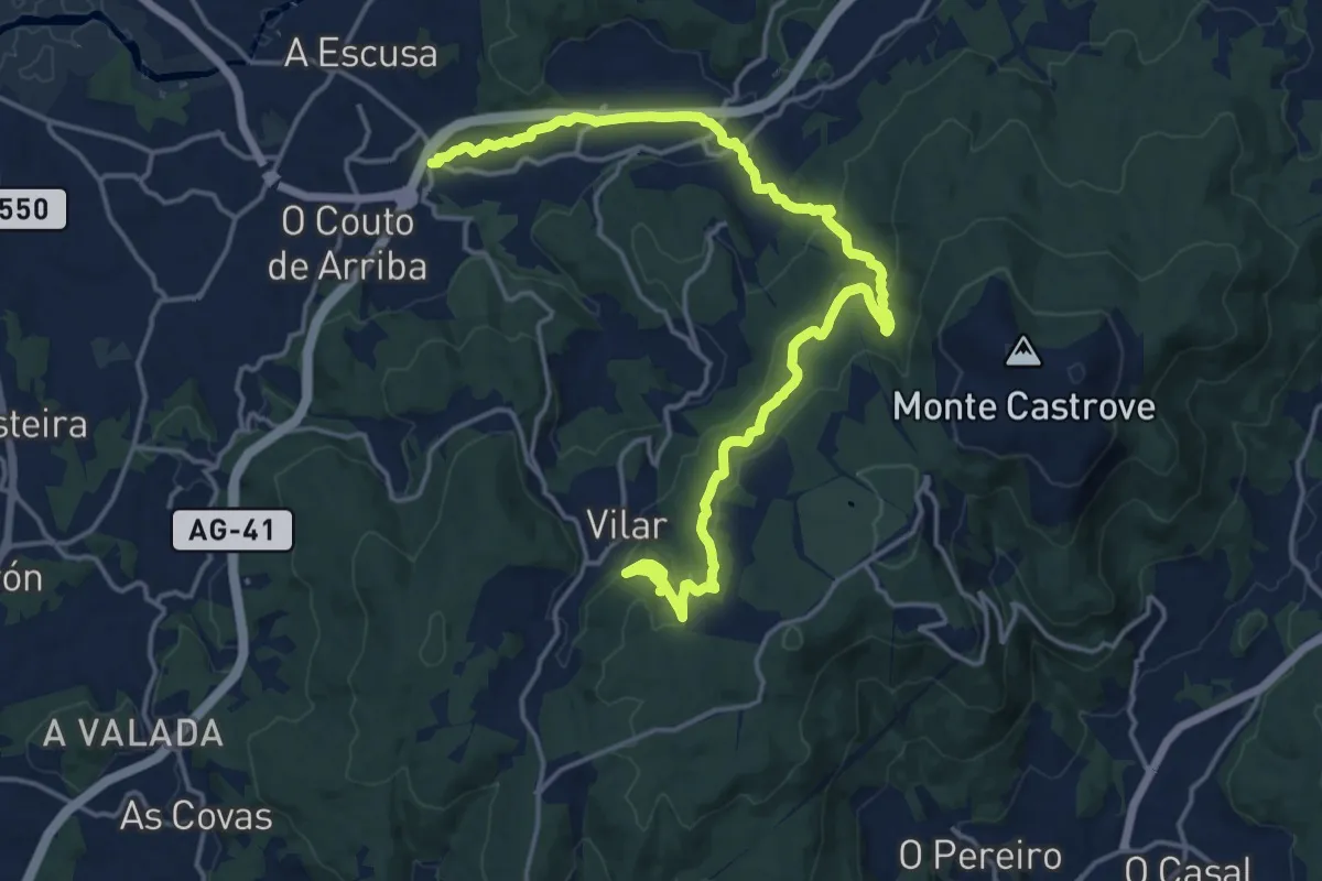
Demanding · Trail
Ruta do Río San Martiño
22.2 km · ↑ 648 m · 6 h 38 min · 8 km away
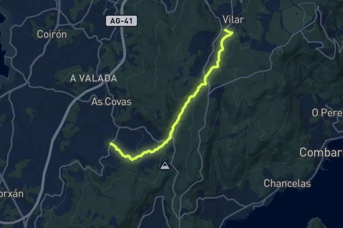
Medium · Trail
Ruta do Río Chanca
13.2 km · ↑ 450 m · 4 h 6 min · 9 km away
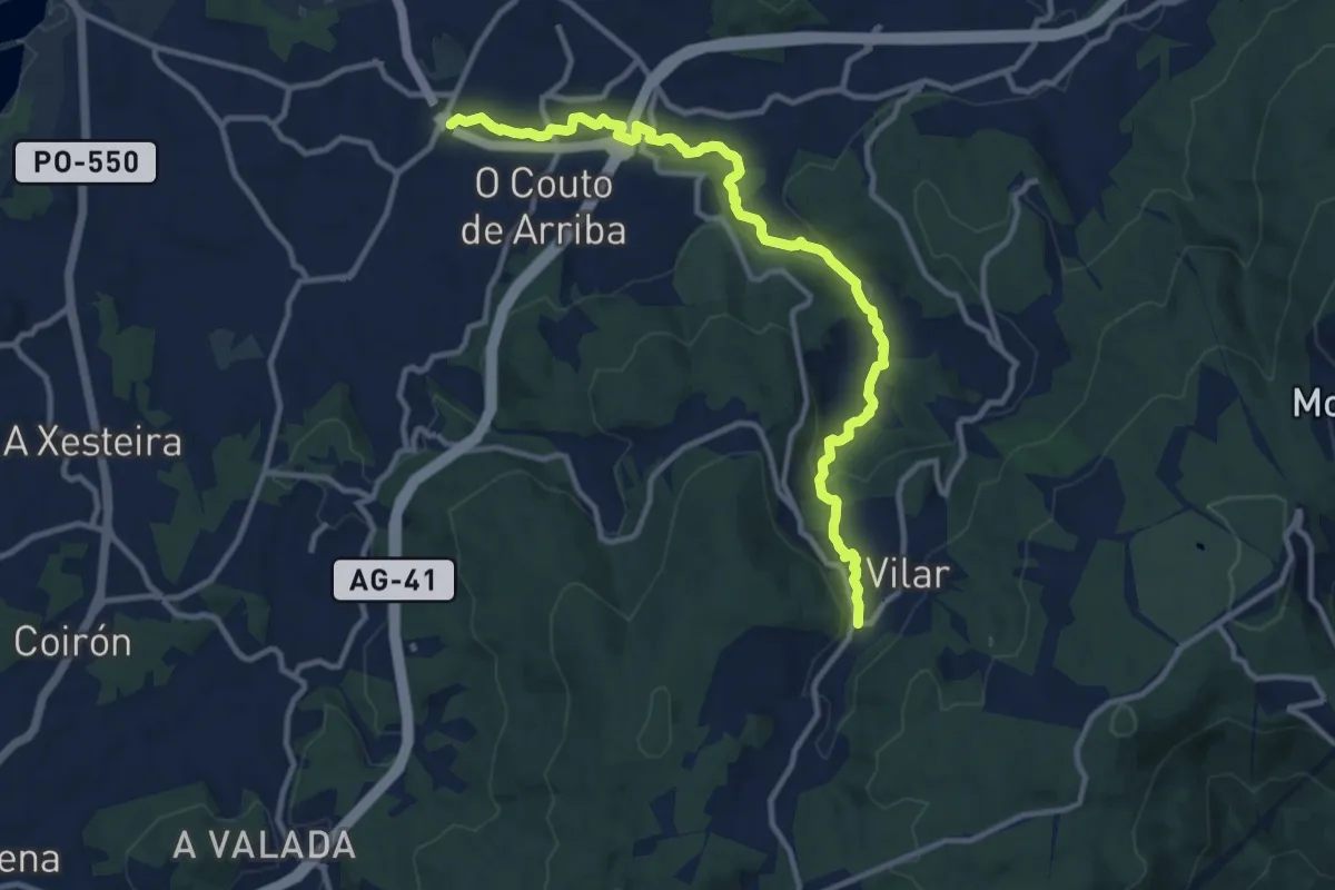
Medium · Trail
Ruta da Pedra e da Auga
13.0 km · ↑ 263 m · 3 h 39 min · 9 km away
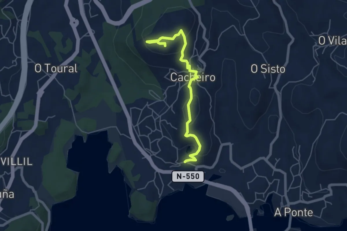
Easy · Trail
Sendeiro de Pedra Miranda
5.2 km · ↑ 188 m · 1 h 38 min · 9 km away
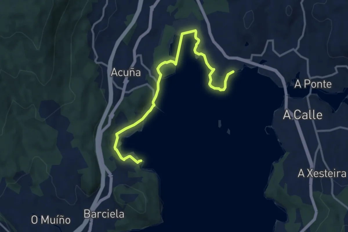
Medium · Trail
Sendeiro de Croa
10.2 km · ↑ 135 m · 2 h 42 min · 9 km away
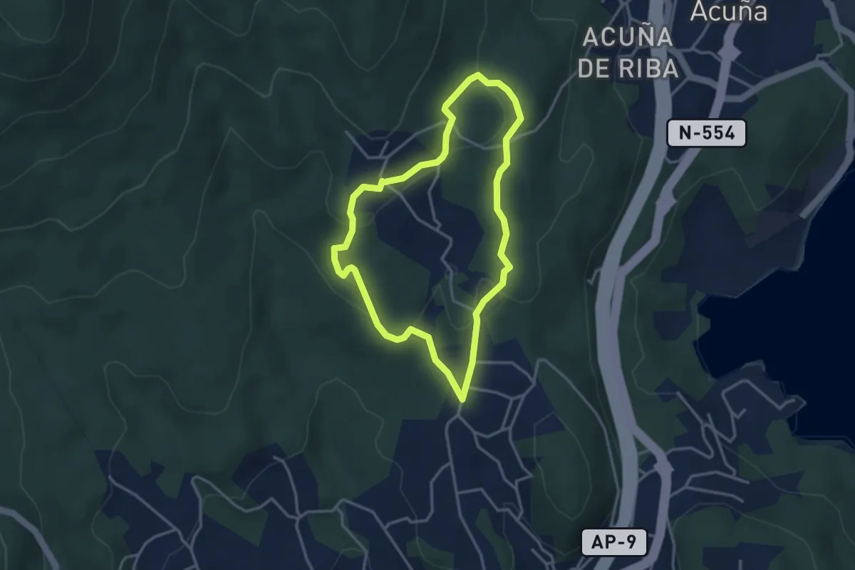
Easy · Trail
Sendeiro dos Petroglifos dos Cobres
3.3 km · ↑ 101 m · 1 h 3 min · 10 km away
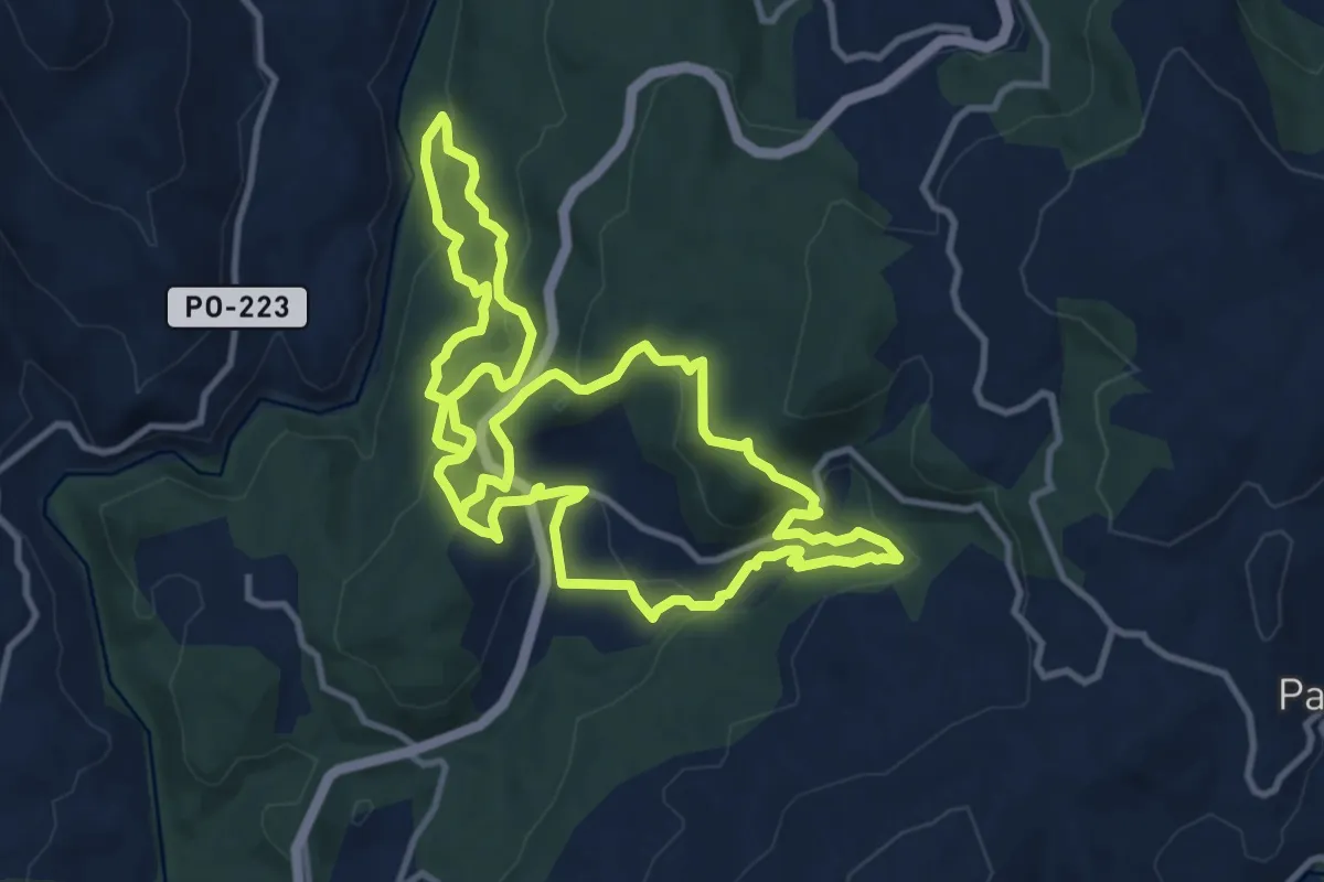
Demanding · Trail
A Vía Escondida
24.2 km · ↑ 943 m · 7 h 46 min · 10 km away
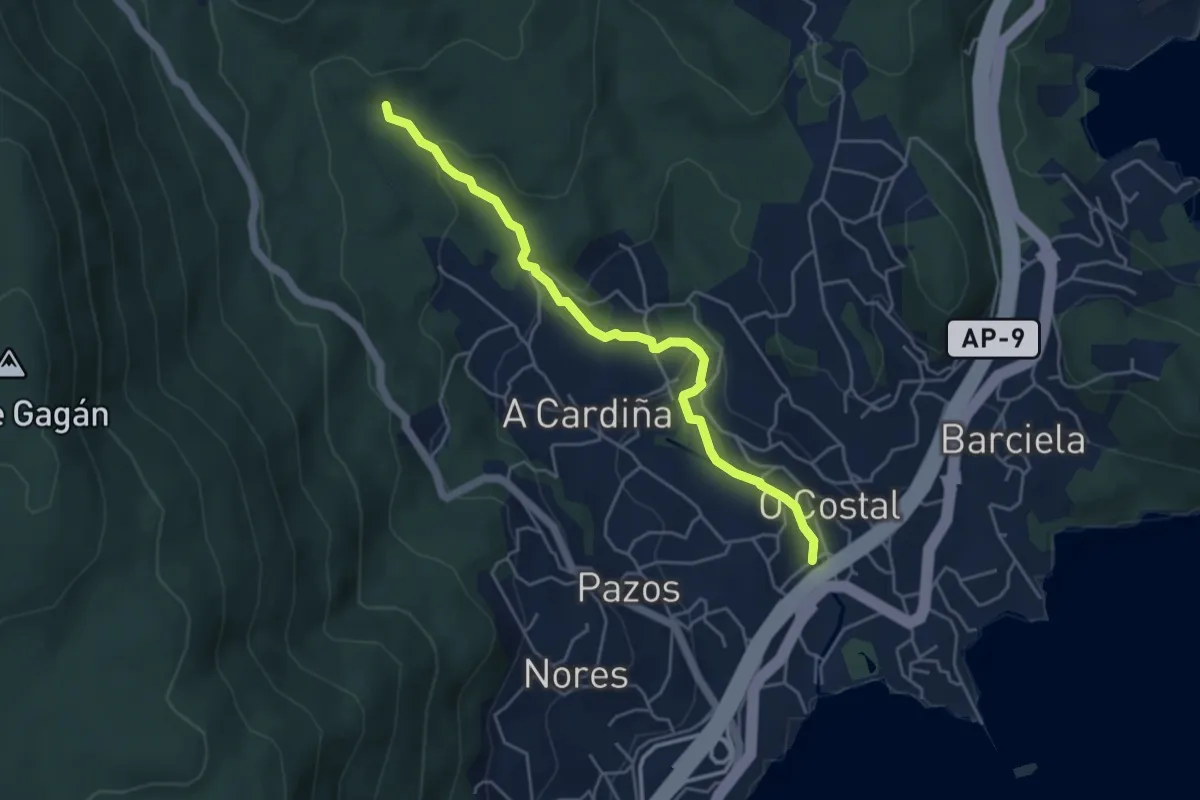
Easy · Trail
Sendeiro dos Muíños de Riomaior
5.0 km · ↑ 161 m · 1 h 32 min · 12 km away
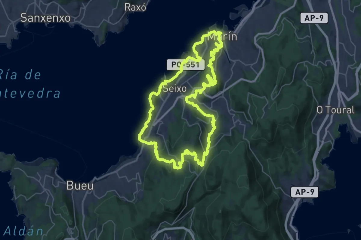
Demanding · Summit
Montes e Praias - Longa (Sendeiro Azul)
27.9 km · ↑ 987 m · 9 h 6 min · 12 km away
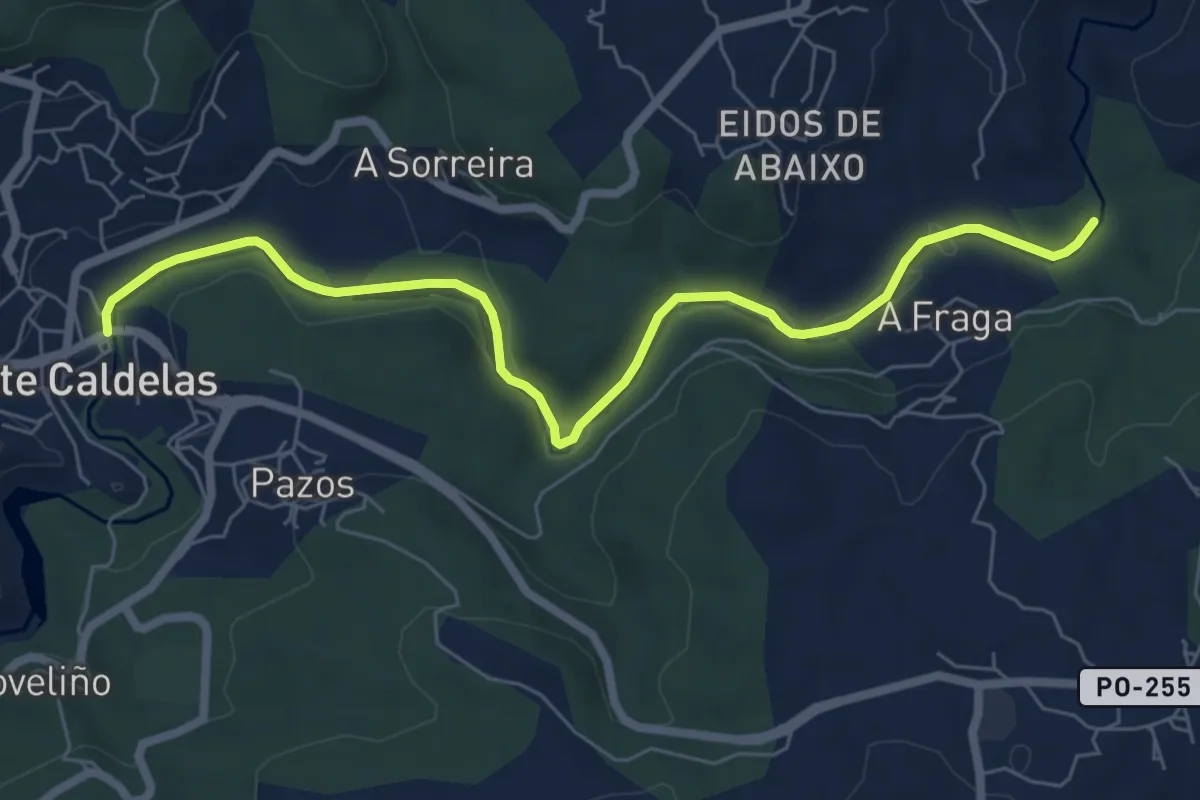
Easy · Trail
Caldas de Reis - Ruta
7.8 km · ↑ 86 m · 2 h 2 min · 13 km away
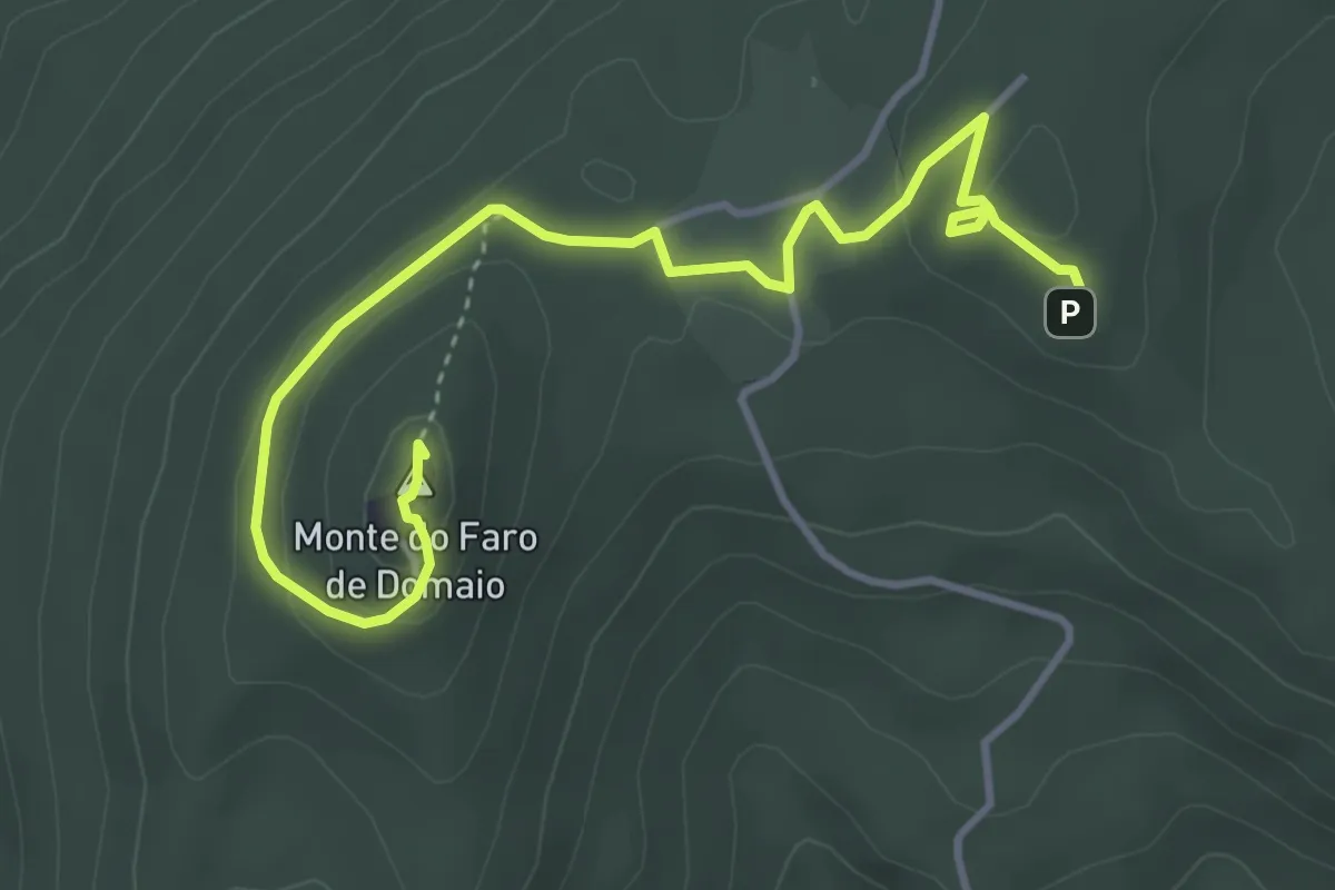
Easy · Summit
Moaña na Mochila - Miradores do Monte Faro Candóns e Chan da Arquiña
5.0 km · ↑ 127 m · 1 h 28 min · 13 km away
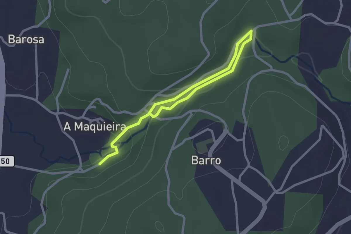
Easy · Trail
Sendeiro dos Muíños de Barosa
3.3 km · ↑ 85 m · 58 min · 14 km away
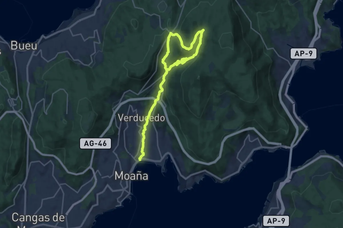
Demanding · Trail
Moaña na Mochila - Roteiro dos Muíños do Río da Fraga
22.0 km · ↑ 827 m · 6 h 59 min · 14 km away
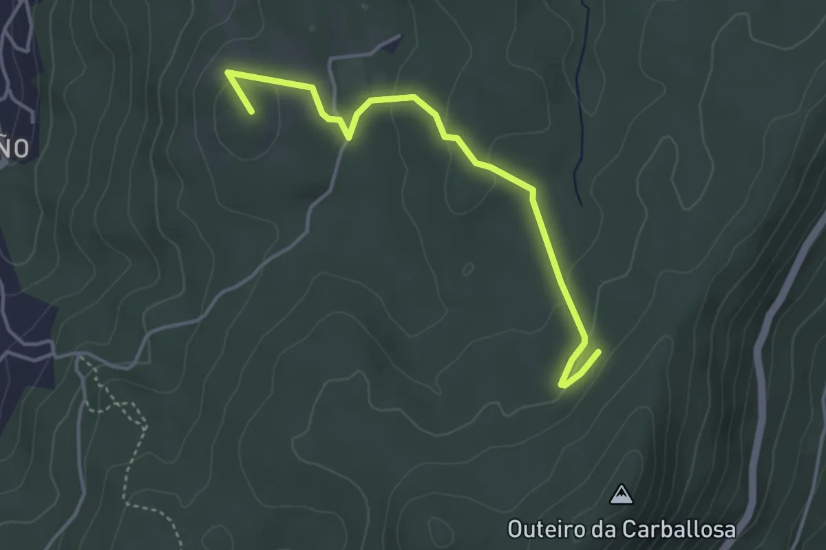
Easy · Summit
Chans de Cela
4.2 km · ↑ 117 m · 1 h 14 min · 14 km away
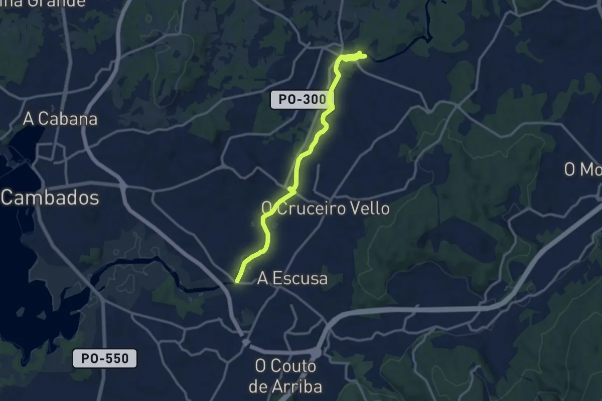
Medium · Trail
Ruta do Umia
11.0 km · ↑ 13 m · 2 h 38 min · 15 km away