Trails near Puerto de la Cruz
30 hikes starting within 15 km, nearest first.
Nearest first
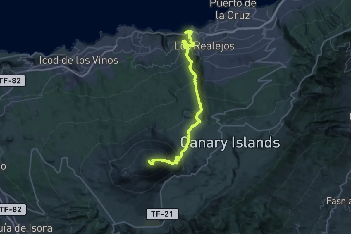
Demanding · Summit
Playa de El Socorro - Pico del Teide
54.3 km · ↑ 4104 m · 21 h 43 min · 5 km away
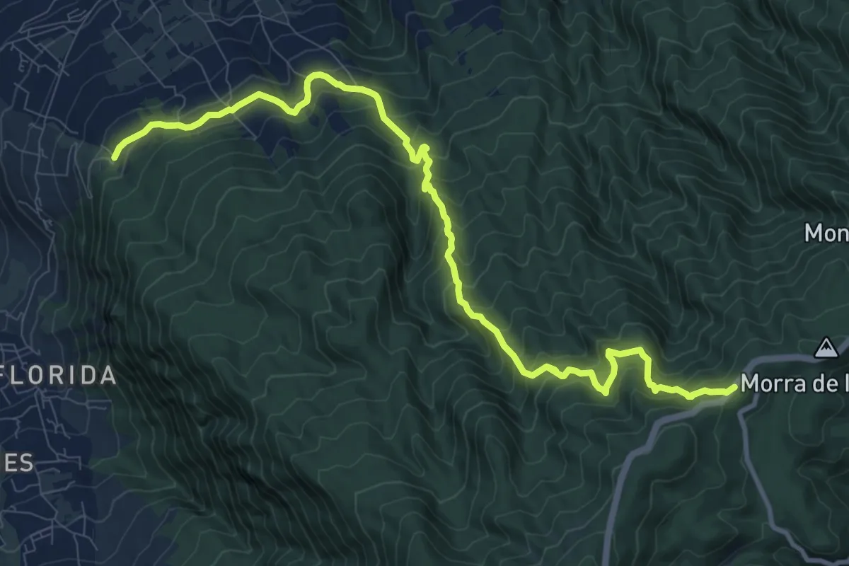
Demanding · Pilgrim path
Camino de Candelaria de Santa Ursula
7.4 km · ↑ 1096 m · 3 h 45 min · 6 km away
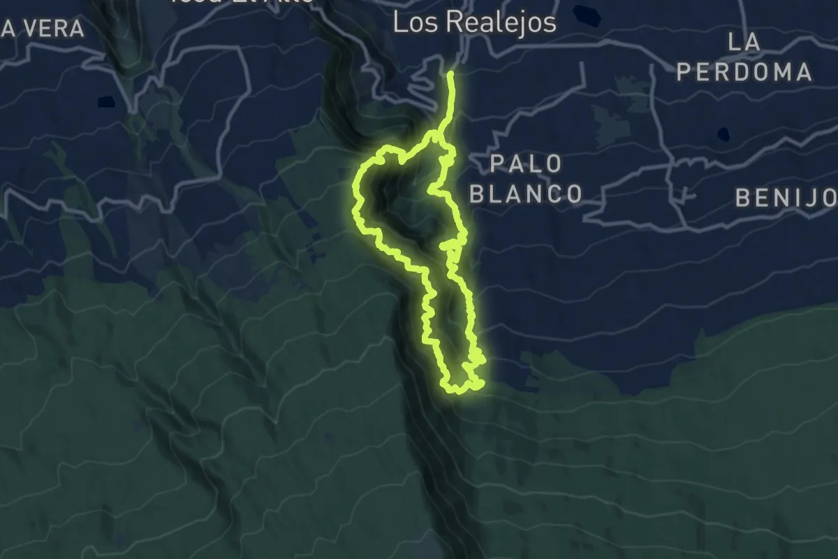
Demanding · Trail
Ladera de Tigaiga
12.7 km · ↑ 1524 m · 6 h 28 min · 7 km away
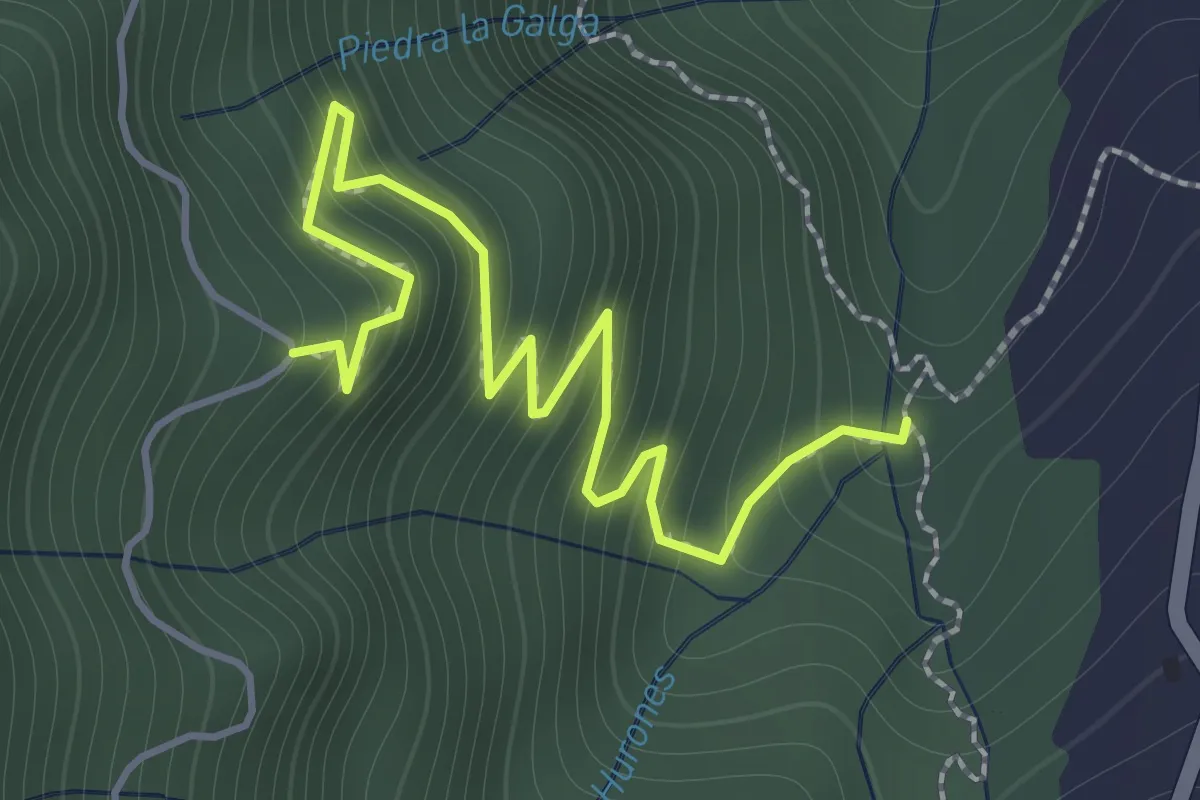
Easy · Trail
Camino Punta del Risco
2.4 km · ↑ 305 m · 1 h 13 min · 8 km away
Easy · Trail
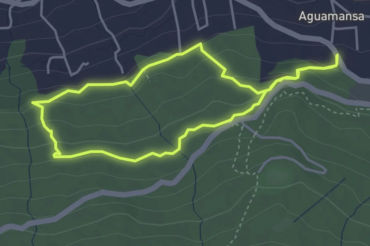
Camino de la Orilla del Monte
3.8 km · ↑ 157 m · 1 h 18 min · 8 km away
Demanding · Trail
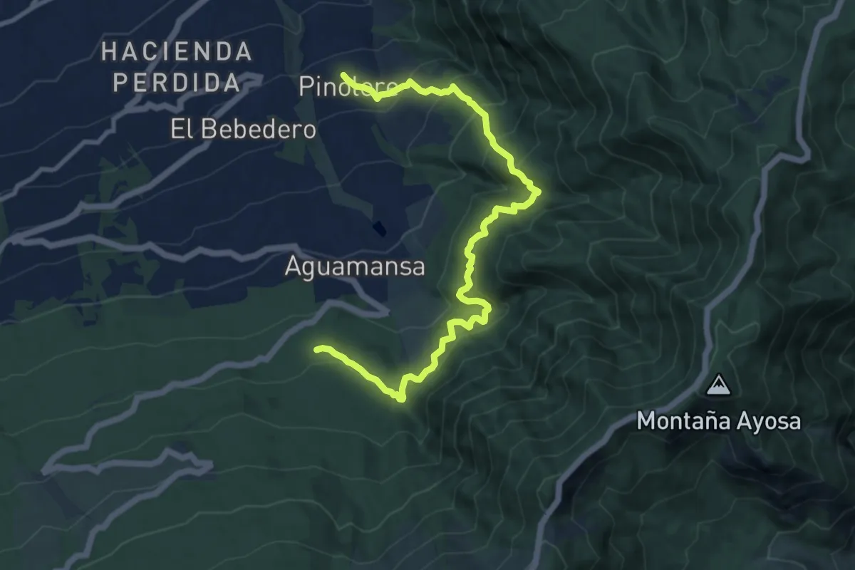
La Caldera - Casa del Agua - Pinolere
13.1 km · ↑ 1130 m · 5 h 32 min · 8 km away
Medium · Trail
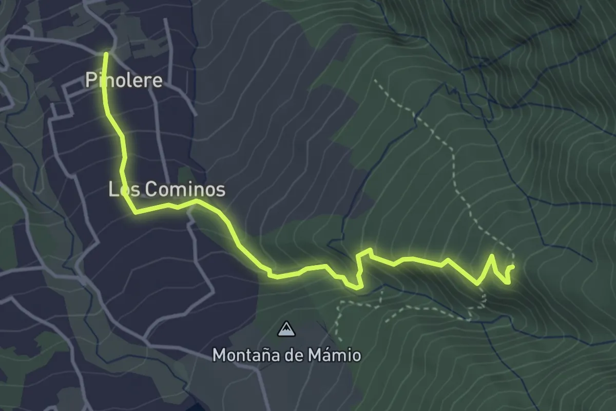
Llano de los Corrales - Pinolere
5.0 km · ↑ 461 m · 2 h 11 min · 8 km away
Demanding · Trail
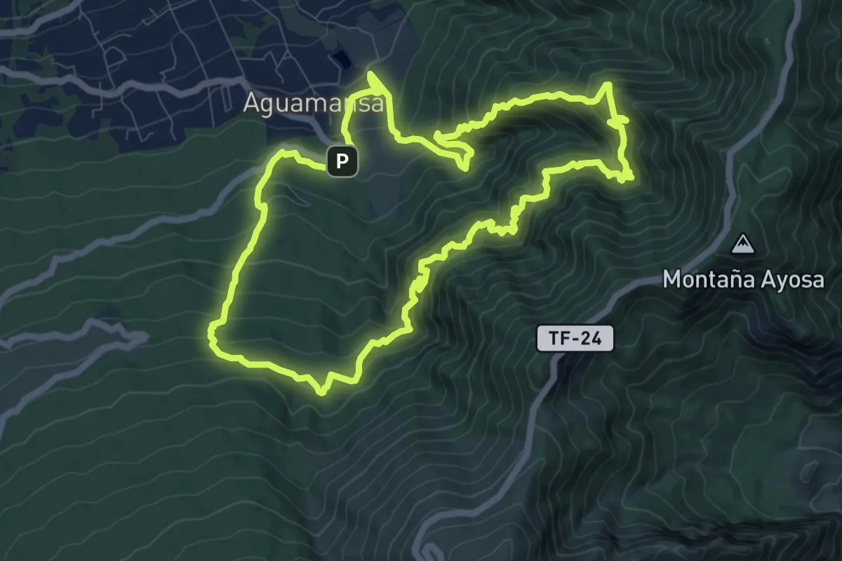
Mamio - Pinolere
12.6 km · ↑ 1240 m · 5 h 50 min · 8 km away
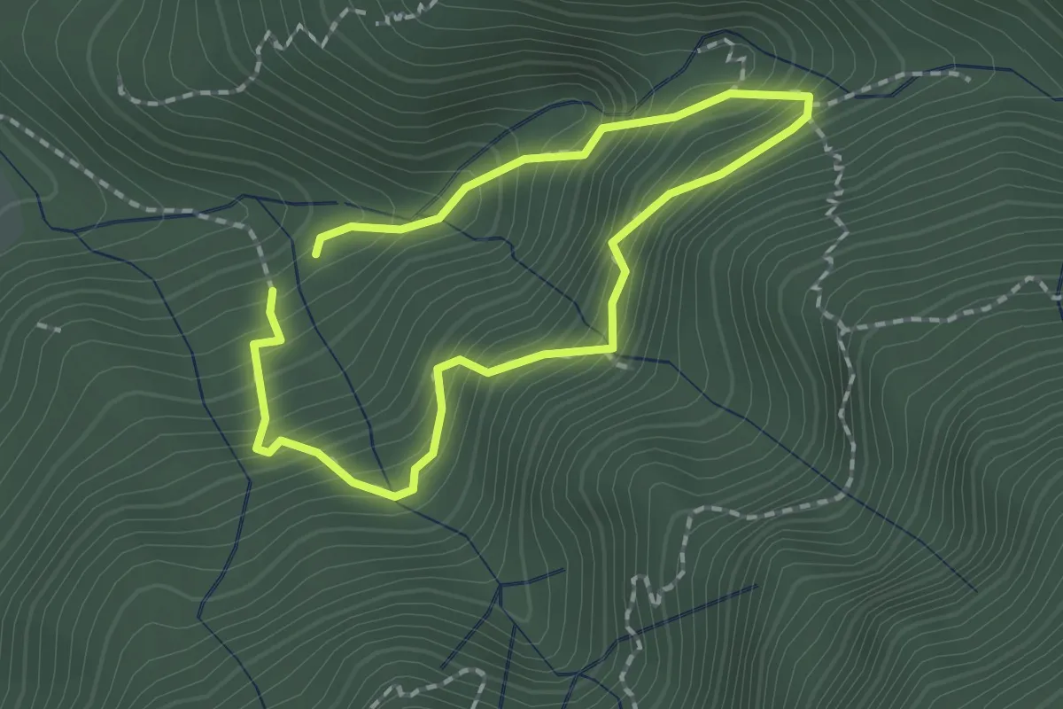
Medium · Trail
Ruta del Agua
1.7 km · ↑ 216 m · 54 min · 9 km away
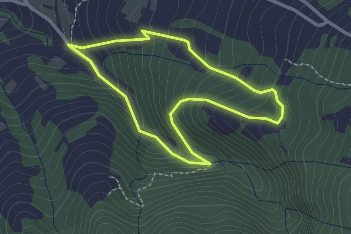
Easy · Trail
Los Dornajos. Ruta de los Castaños
2.1 km · ↑ 202 m · 58 min · 10 km away
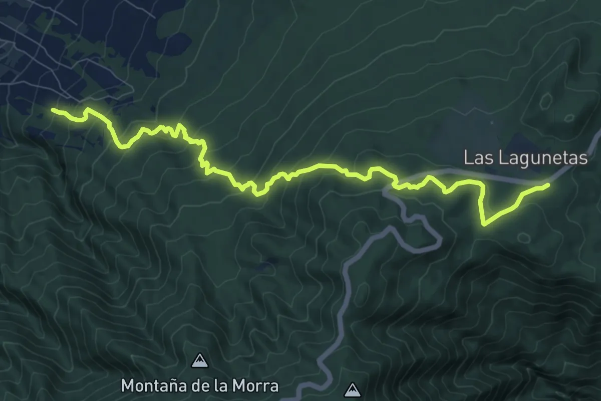
Demanding · Trail
Las Lagunetas-Hoya del Abade
12.8 km · ↑ 815 m · 4 h 48 min · 10 km away
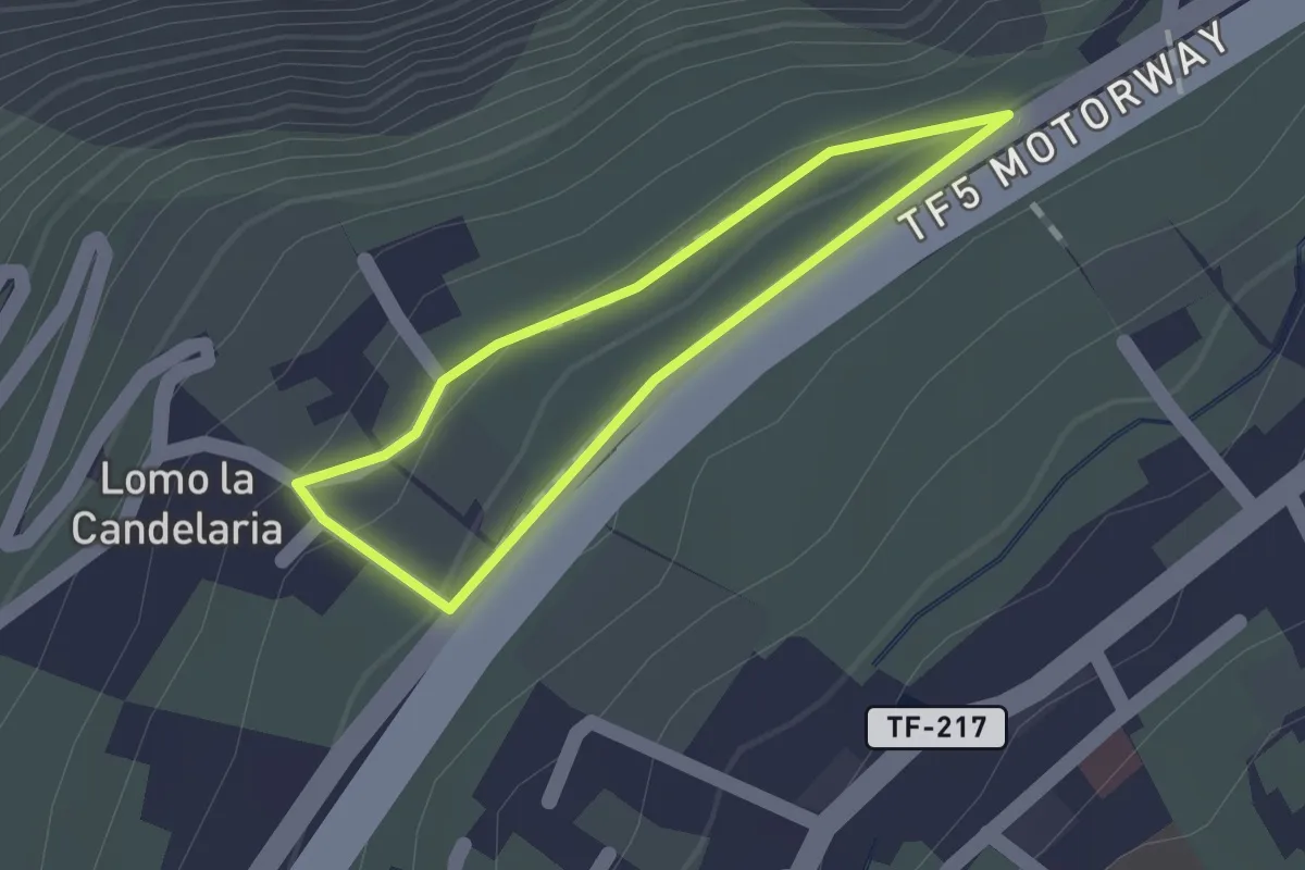
Medium · Trail
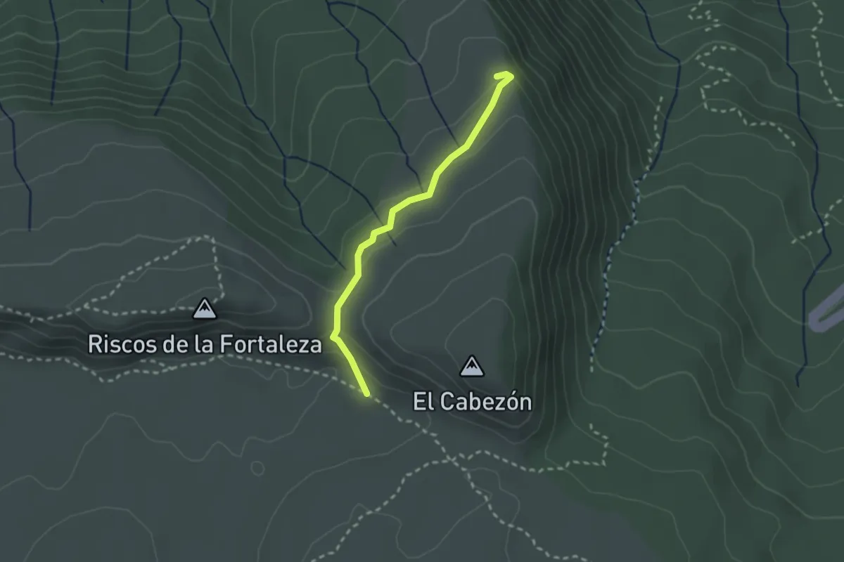
Camino de Acentejo
1.2 km · ↑ 32 m · 22 min · 10 km away
Easy · Trail
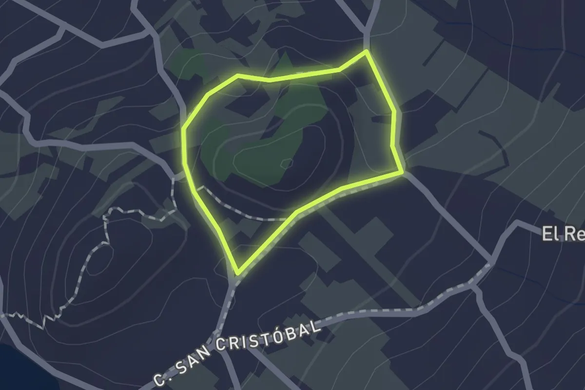
Degollada del Cedro
2.8 km · ↑ 100 m · 52 min · 11 km away
Easy · Trail
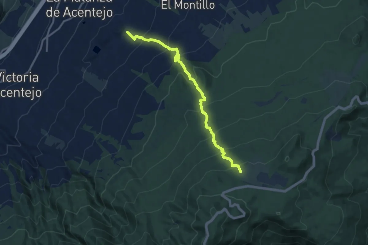
Los Nateros
1.2 km · ↑ 17 m · 20 min · 11 km away
Demanding · Summit
Las Lagunetas-Los Nateros
10.3 km · ↑ 815 m · 4 h 11 min · 11 km away
Easy · Summit
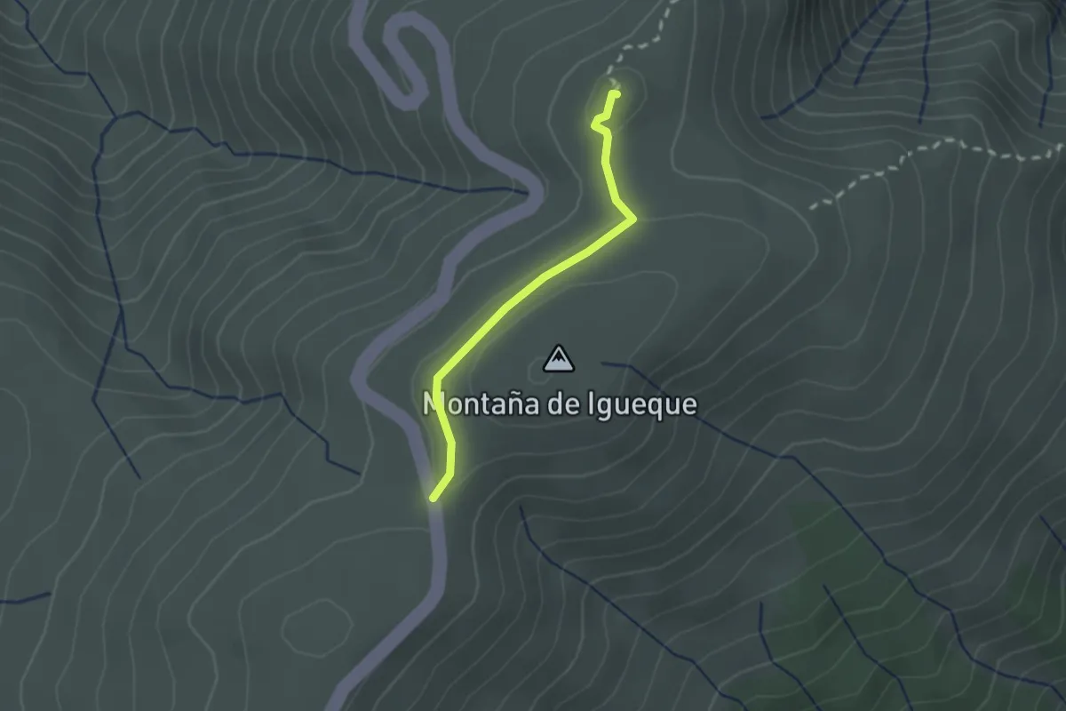
Igueque
2.2 km · ↑ 31 m · 35 min · 12 km away
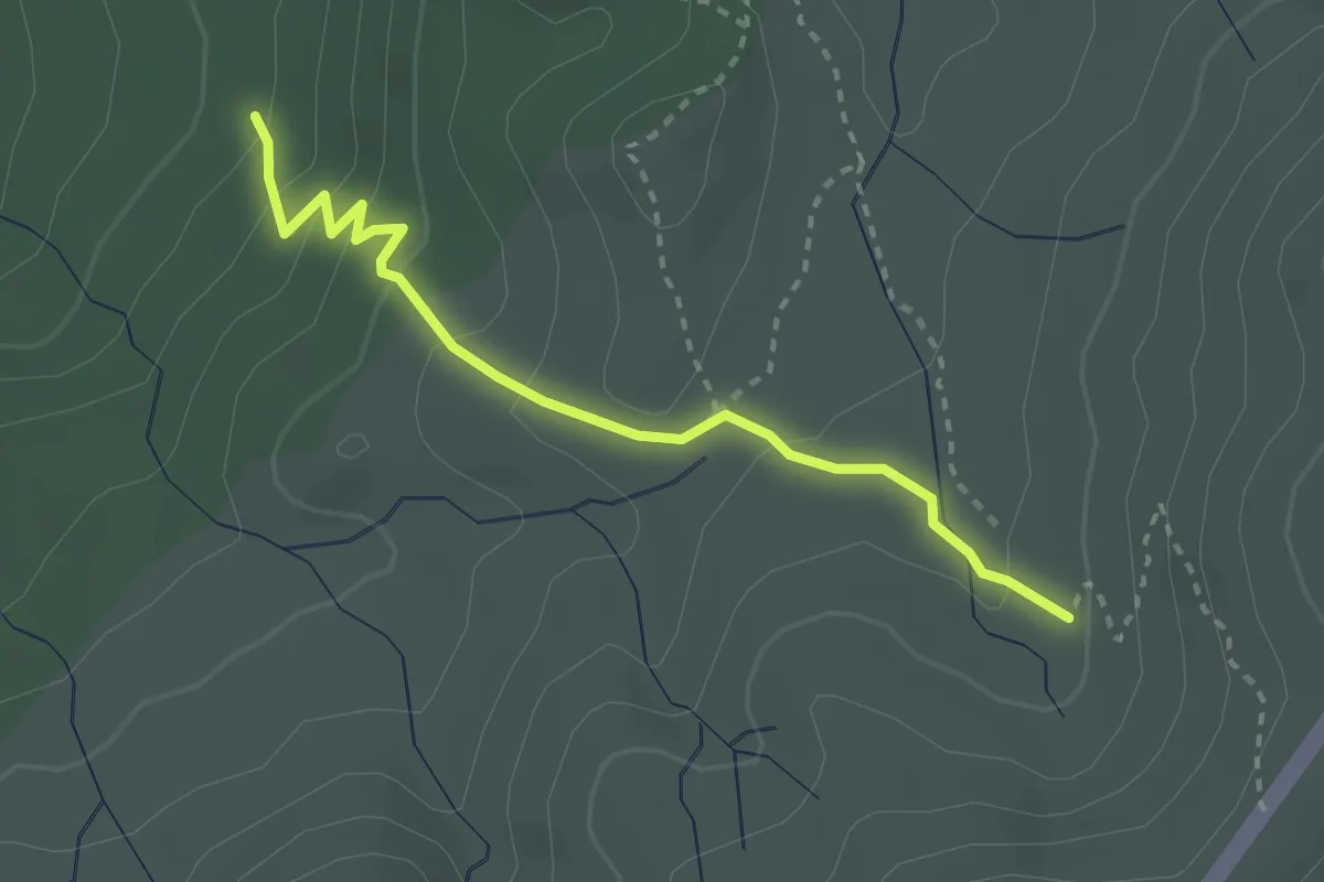
Medium · Trail
Montaña Limón
3.5 km · ↑ 174 m · 1 h 13 min · 12 km away
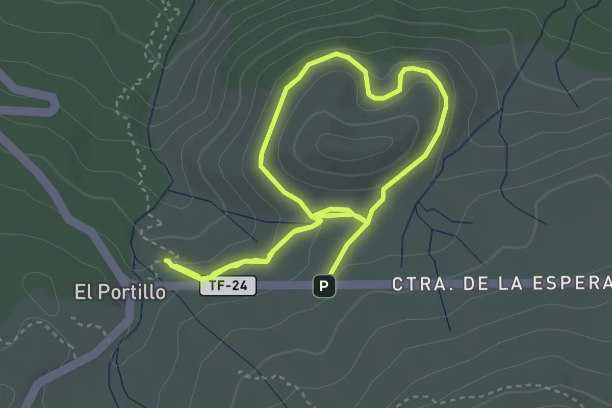
Medium · Trail
Alto de Guamazo
7.2 km · ↑ 267 m · 2 h 17 min · 12 km away
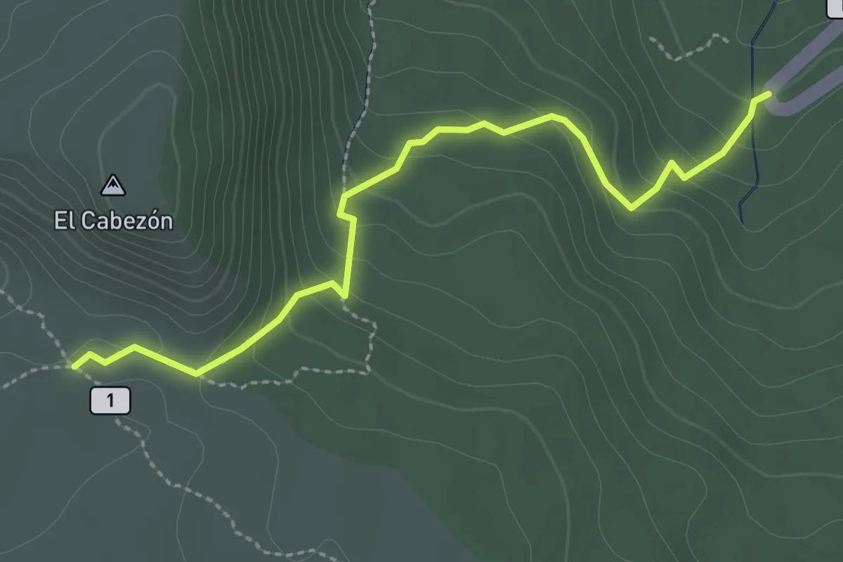
Easy · Trail
Recibo Quemado
3.4 km · ↑ 176 m · 1 h 11 min · 12 km away
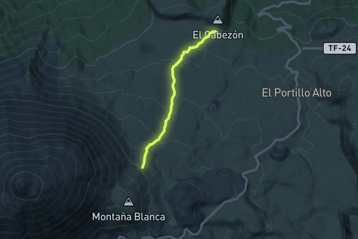
Medium · Trail
Lomo Hurtado
9.6 km · ↑ 462 m · 3 h 16 min · 12 km away
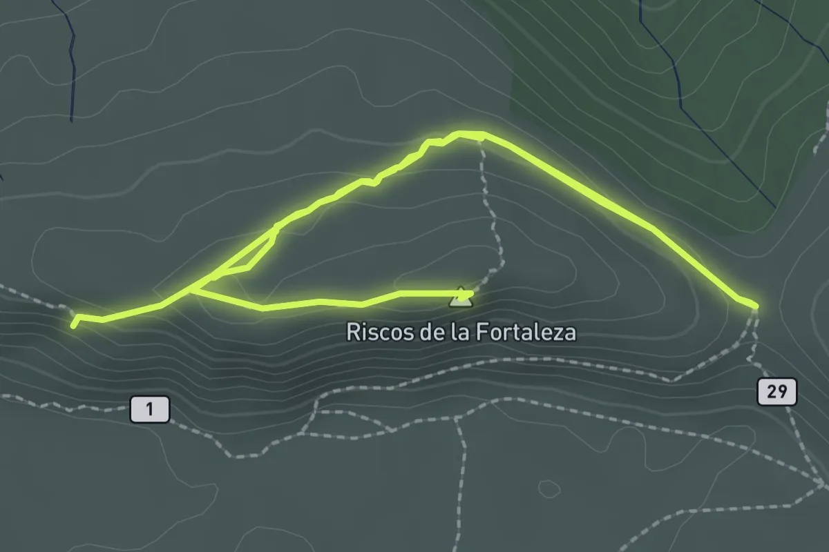
Easy · Summit
Alto de La Fortaleza
5.2 km · ↑ 102 m · 1 h 27 min · 12 km away
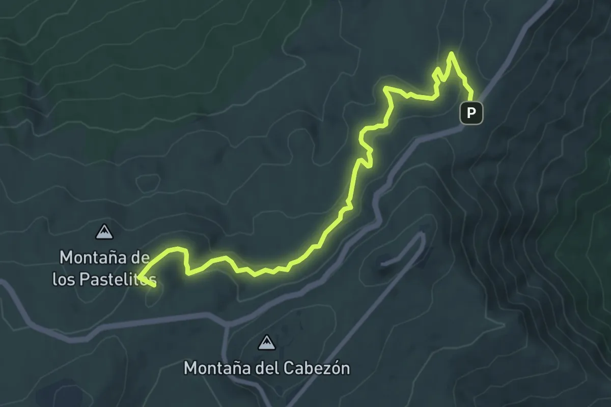
Medium · Summit
Corral del Niño-Mal Abrigo
9.9 km · ↑ 396 m · 3 h 12 min · 12 km away
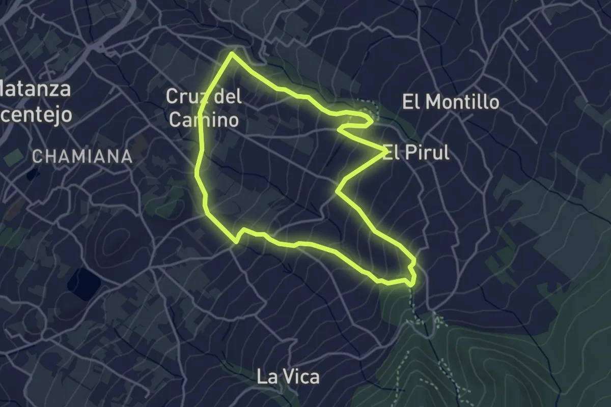
Easy · Trail
Los Nateros-La Vica
4.6 km · ↑ 313 m · 1 h 50 min · 12 km away
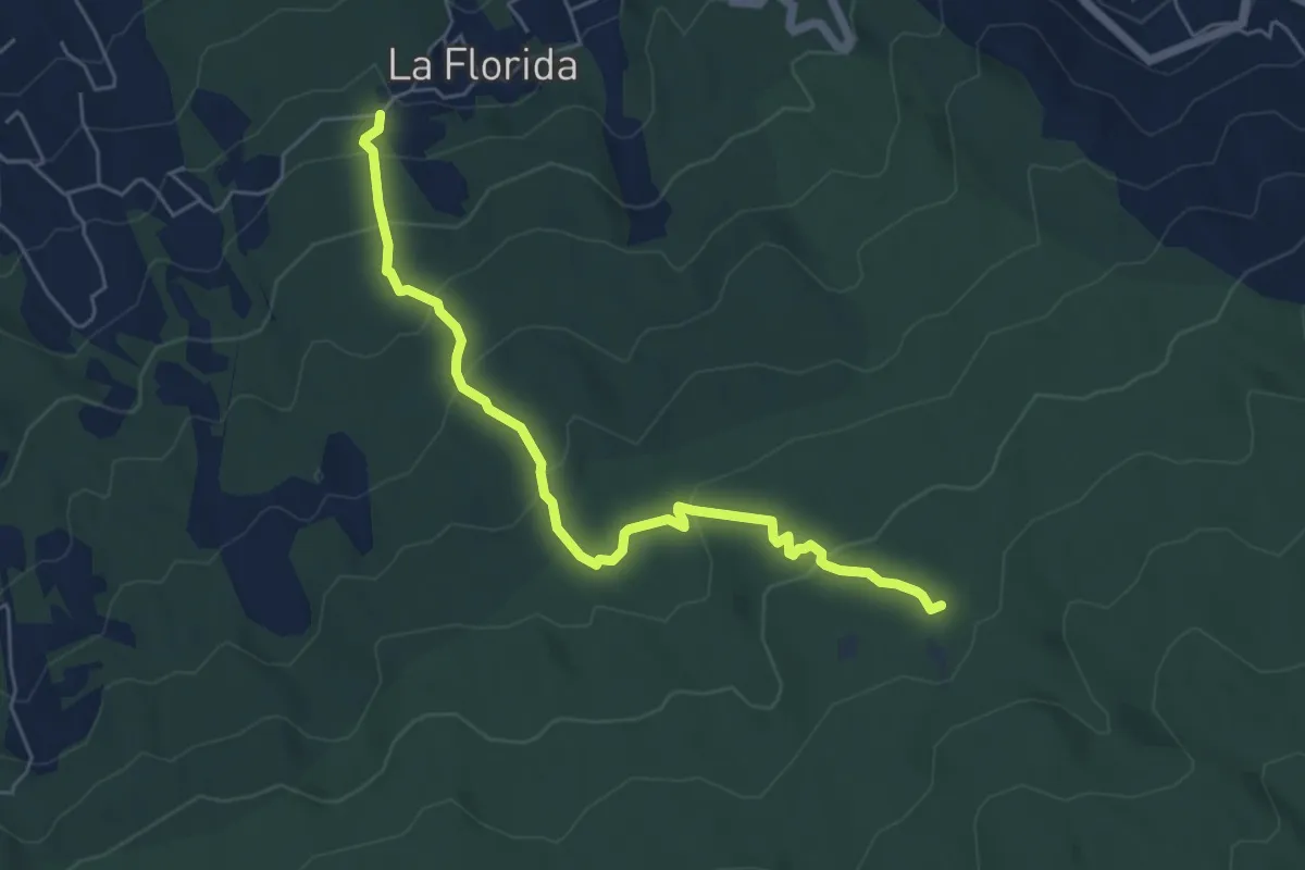
Medium · Trail
Derivación a Area Recreativa el Lagar
7.3 km · ↑ 369 m · 2 h 32 min · 13 km away
Medium · Trail
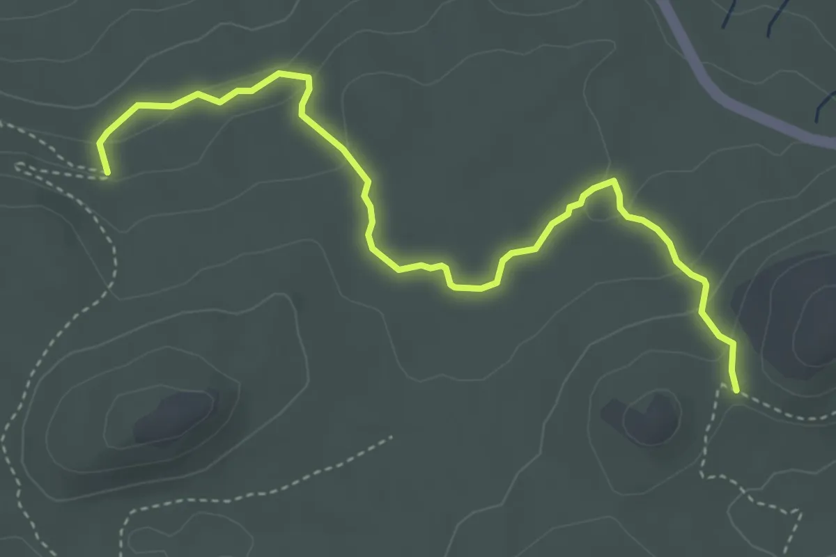
Cerrillar - Carnicería
5.6 km · ↑ 159 m · 1 h 40 min · 13 km away
Demanding · Summit
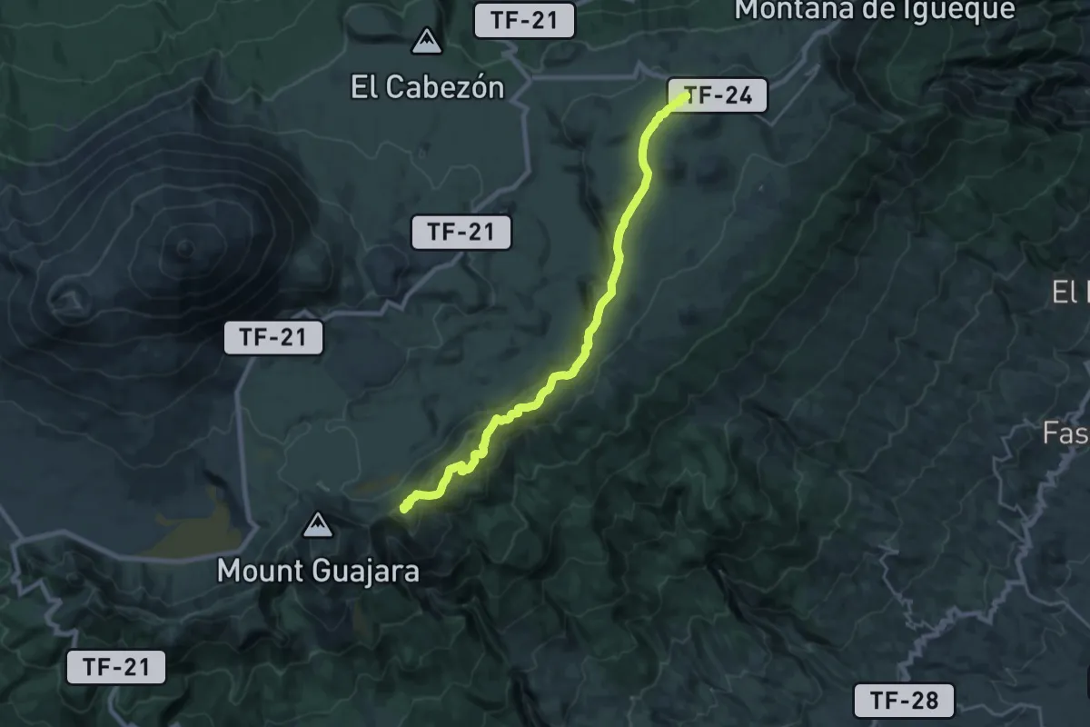
El Filo
26.3 km · ↑ 669 m · 7 h 40 min · 13 km away
Medium · Summit
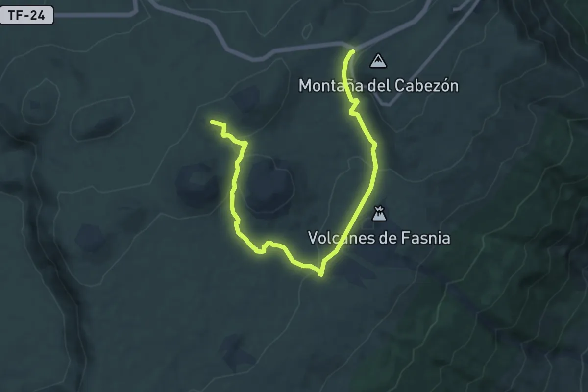
Volcán de Fasnia
12.1 km · ↑ 314 m · 3 h 32 min · 13 km away
Easy · Trail
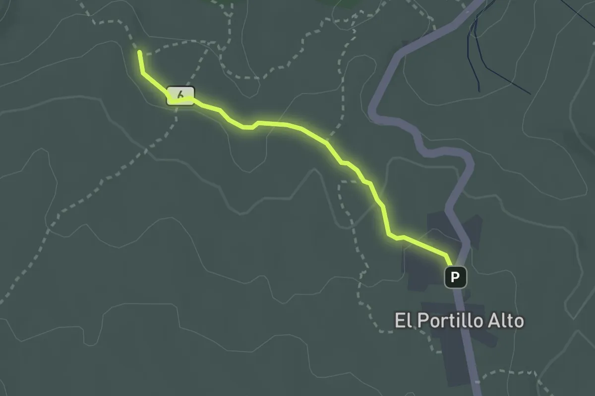
Portillo Alto
2.9 km · ↑ 53 m · 48 min · 13 km away
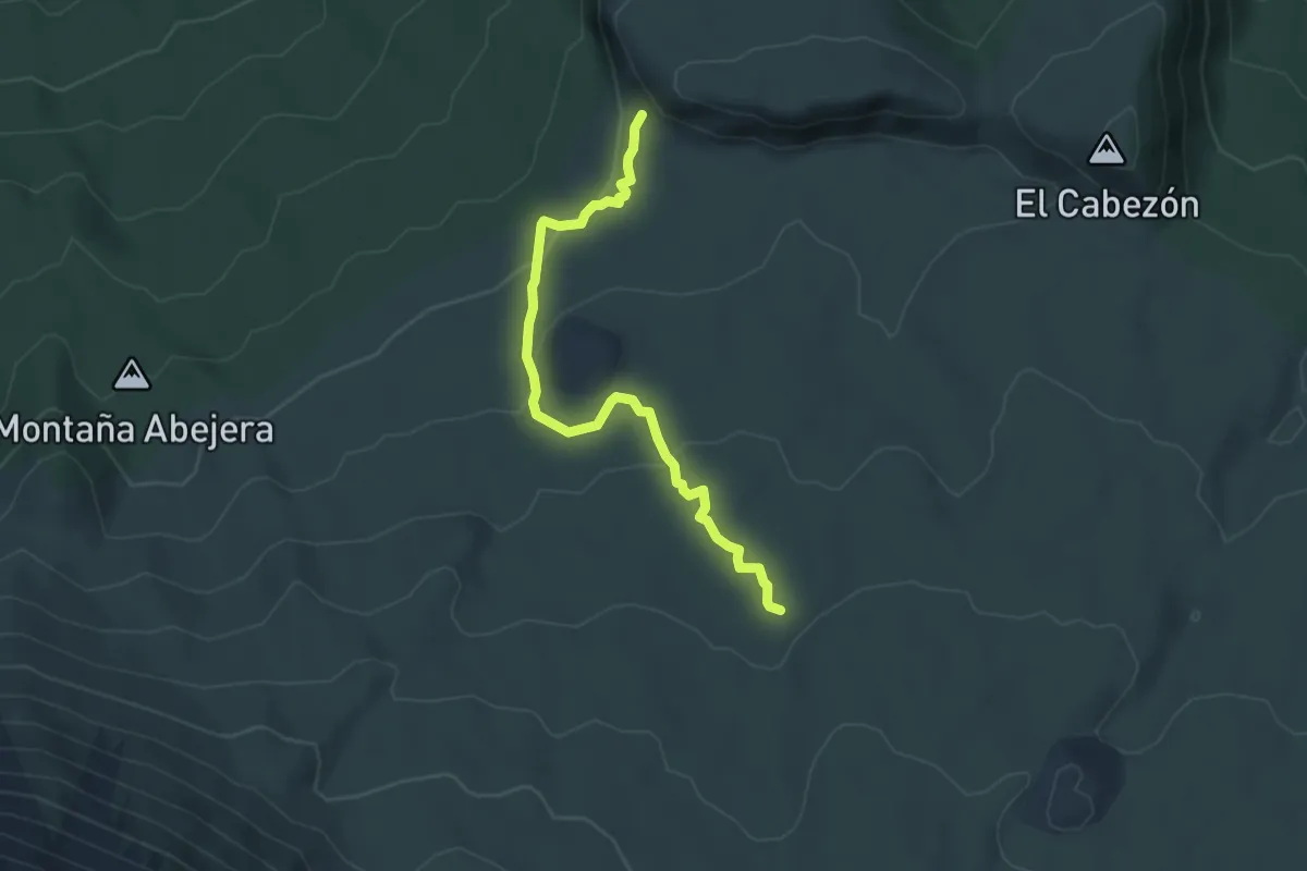
Easy · Trail
Montaña Negra
6.0 km · ↑ 211 m · 1 h 53 min · 14 km away
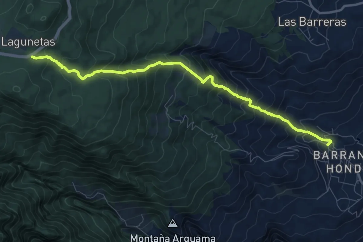
Demanding · Trail
Lomo el Centeno
10.7 km · ↑ 1001 m · 4 h 42 min · 14 km away