Trails near Purchena
18 hikes starting within 15 km, nearest first.
Nearest first
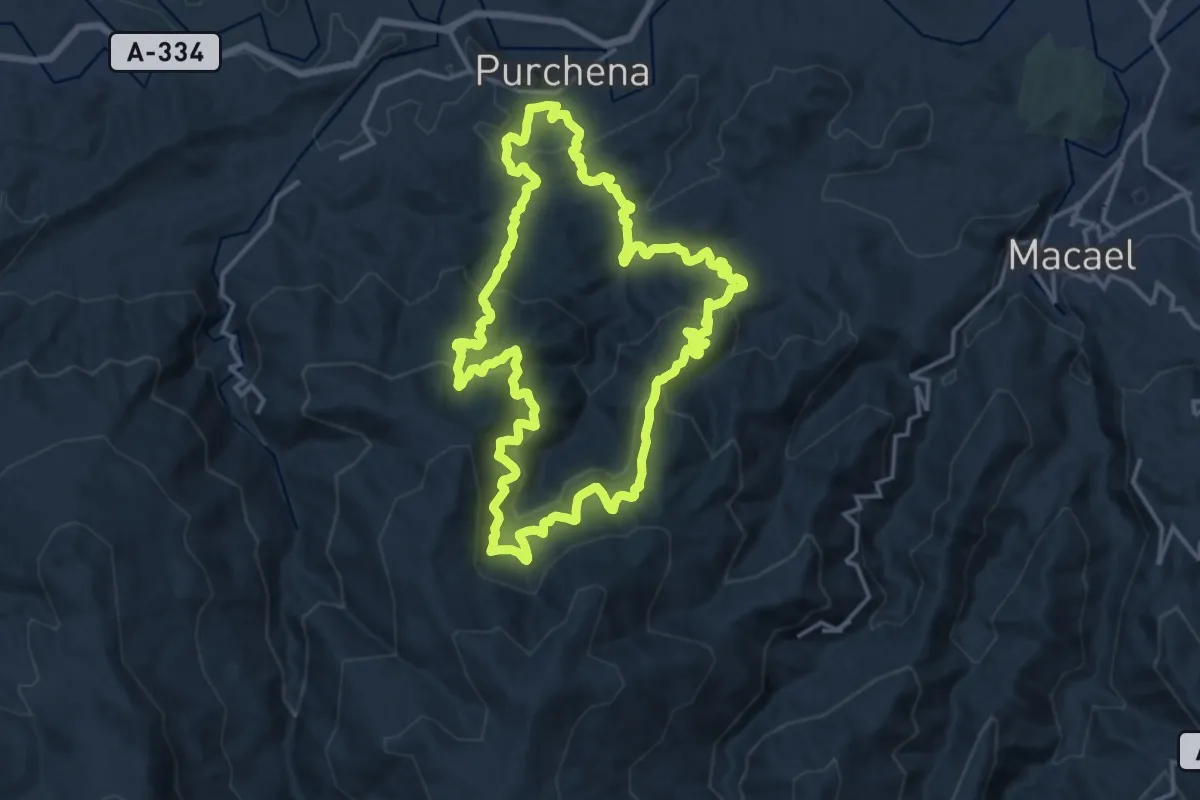
Demanding · Trail
La Silveria
18.2 km · ↑ 1079 m · 6 h 54 min · 2 km away
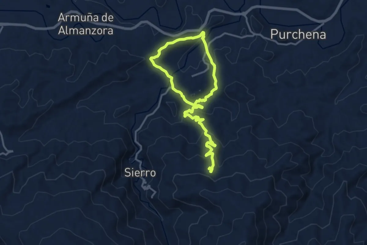
Medium · Trail
Las Yeseras de Suflí
8.2 km · ↑ 202 m · 2 h 39 min · 3 km away
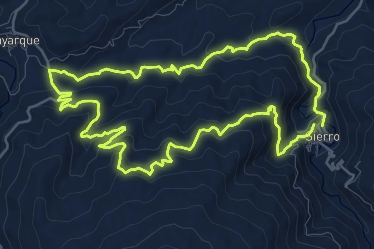
Medium · Trail
Sierro por Boyarque
11.2 km · ↑ 529 m · 3 h 57 min · 4 km away
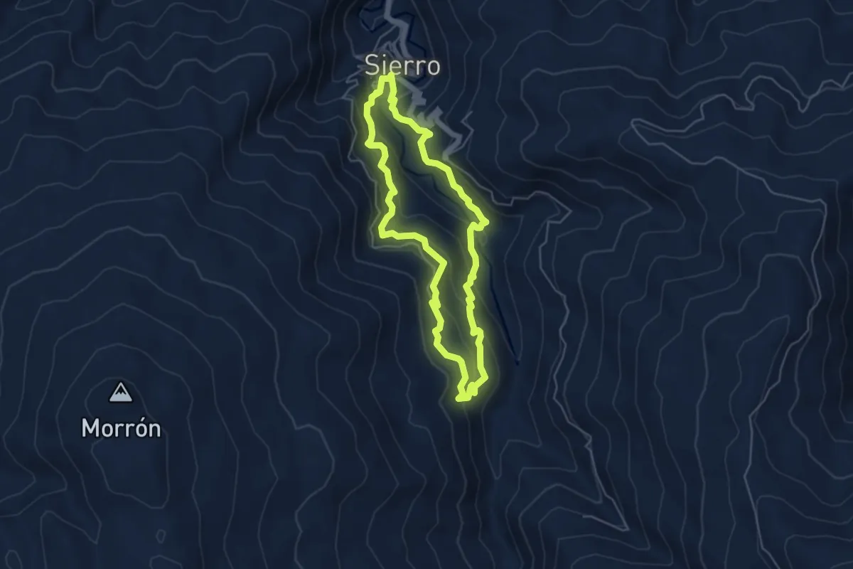
Medium · Trail
Sierro por la Era del Violín
5.3 km · ↑ 349 m · 2 h 4 min · 5 km away
Medium · Trail
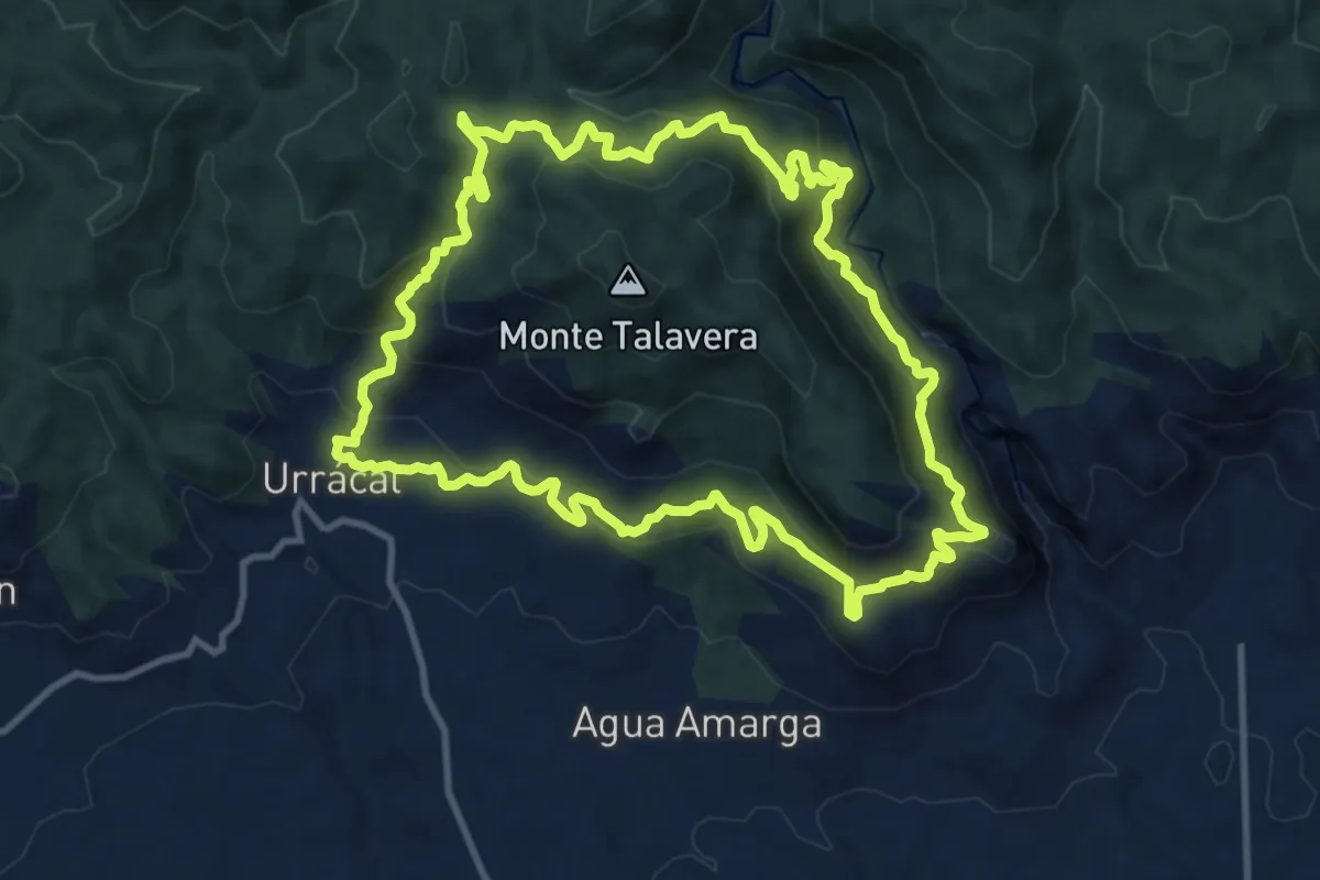
Urrácal - La Escarihuela
13.4 km · ↑ 646 m · 4 h 45 min · 6 km away
Medium · Trail
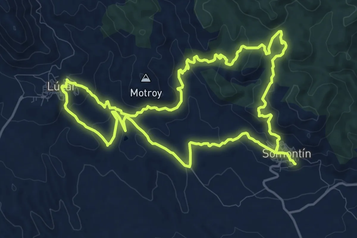
Sendero del Talco
13.3 km · ↑ 463 m · 4 h 21 min · 6 km away
Medium · Trail
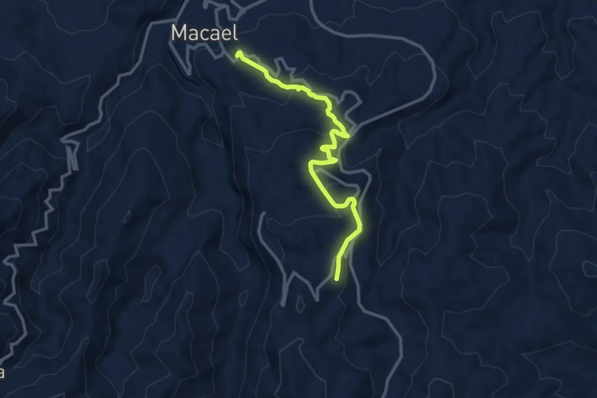
Sendero del Mármol
9.4 km · ↑ 382 m · 3 h 3 min · 6 km away
Demanding · Summit
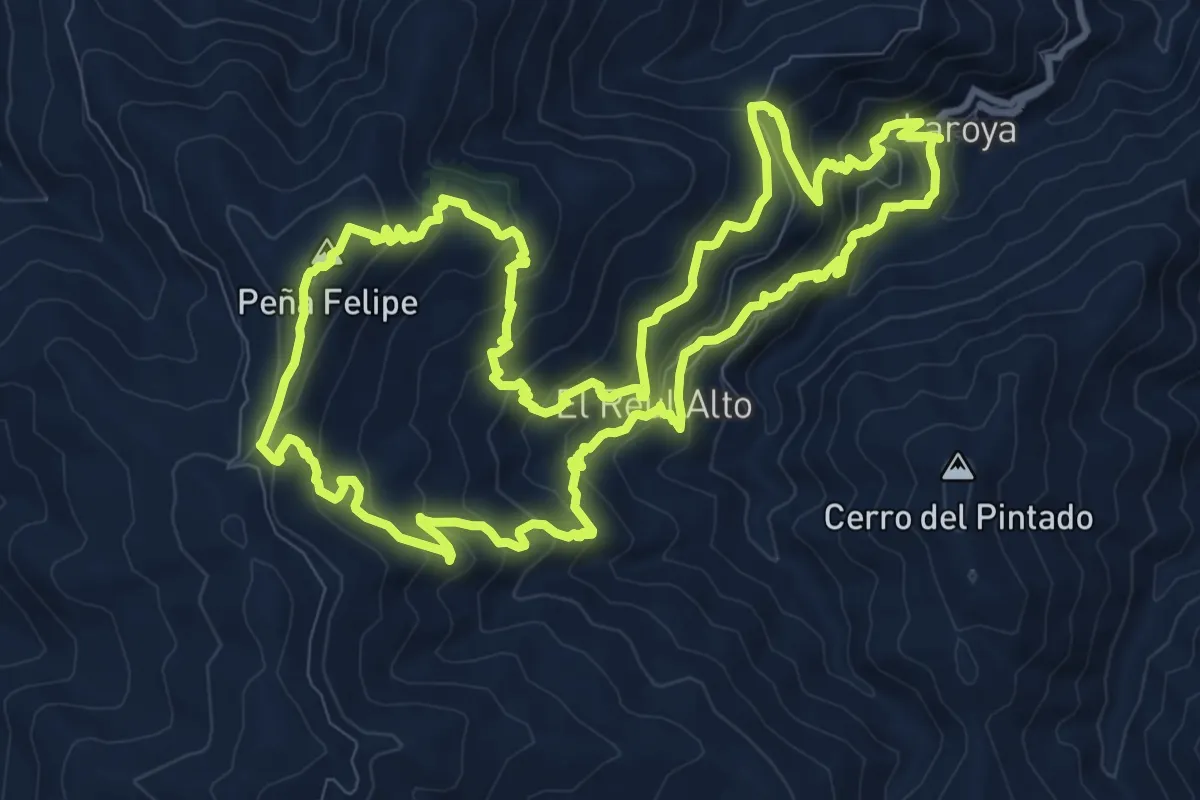
Reul Alto
13.4 km · ↑ 806 m · 5 h 6 min · 6 km away
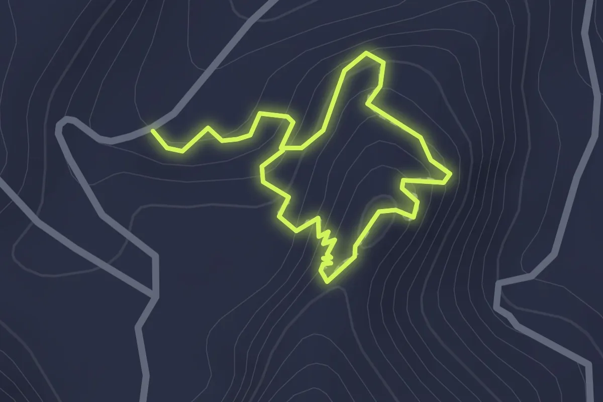
Easy · Trail
Antiguo Camino a Macael Viejo
1.4 km · ↑ 71 m · 31 min · 7 km away
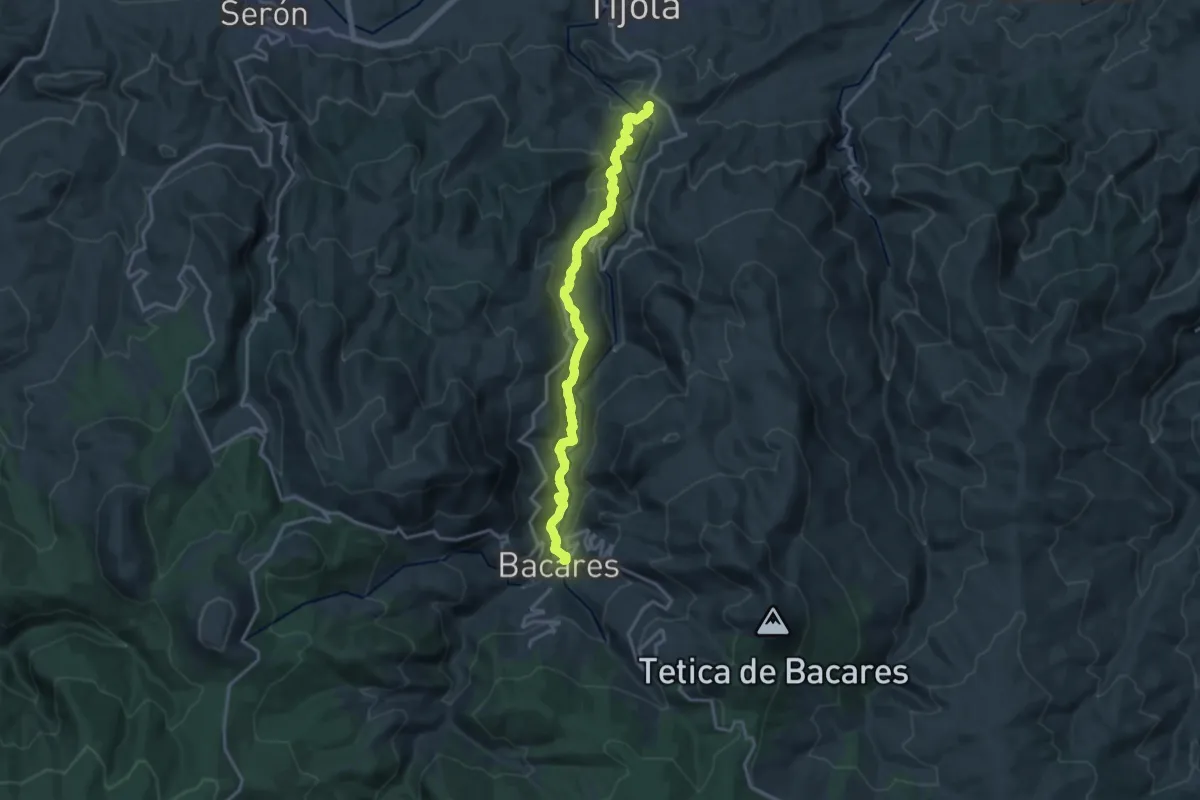
Demanding · Trail
Vereda Bayarque
19.4 km · ↑ 879 m · 6 h 29 min · 7 km away
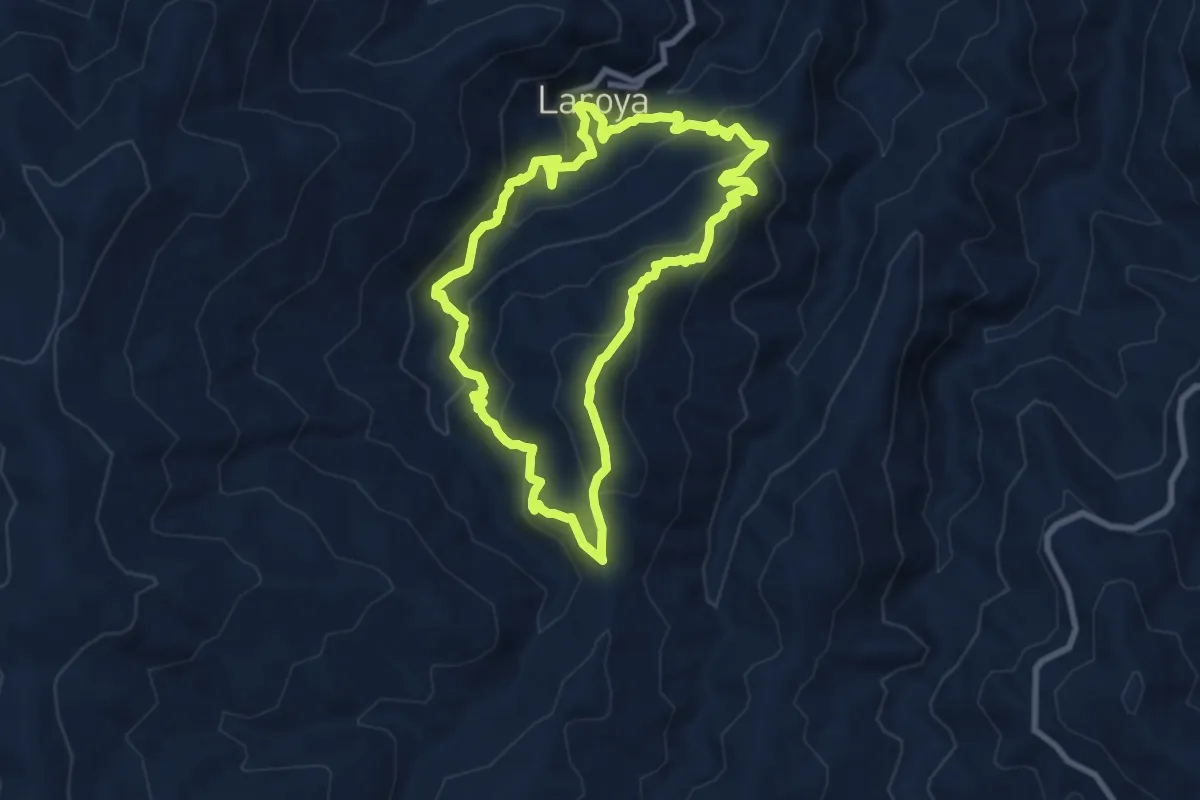
Medium · Summit
Los Molinos de Laroya
9.3 km · ↑ 587 m · 3 h 36 min · 7 km away
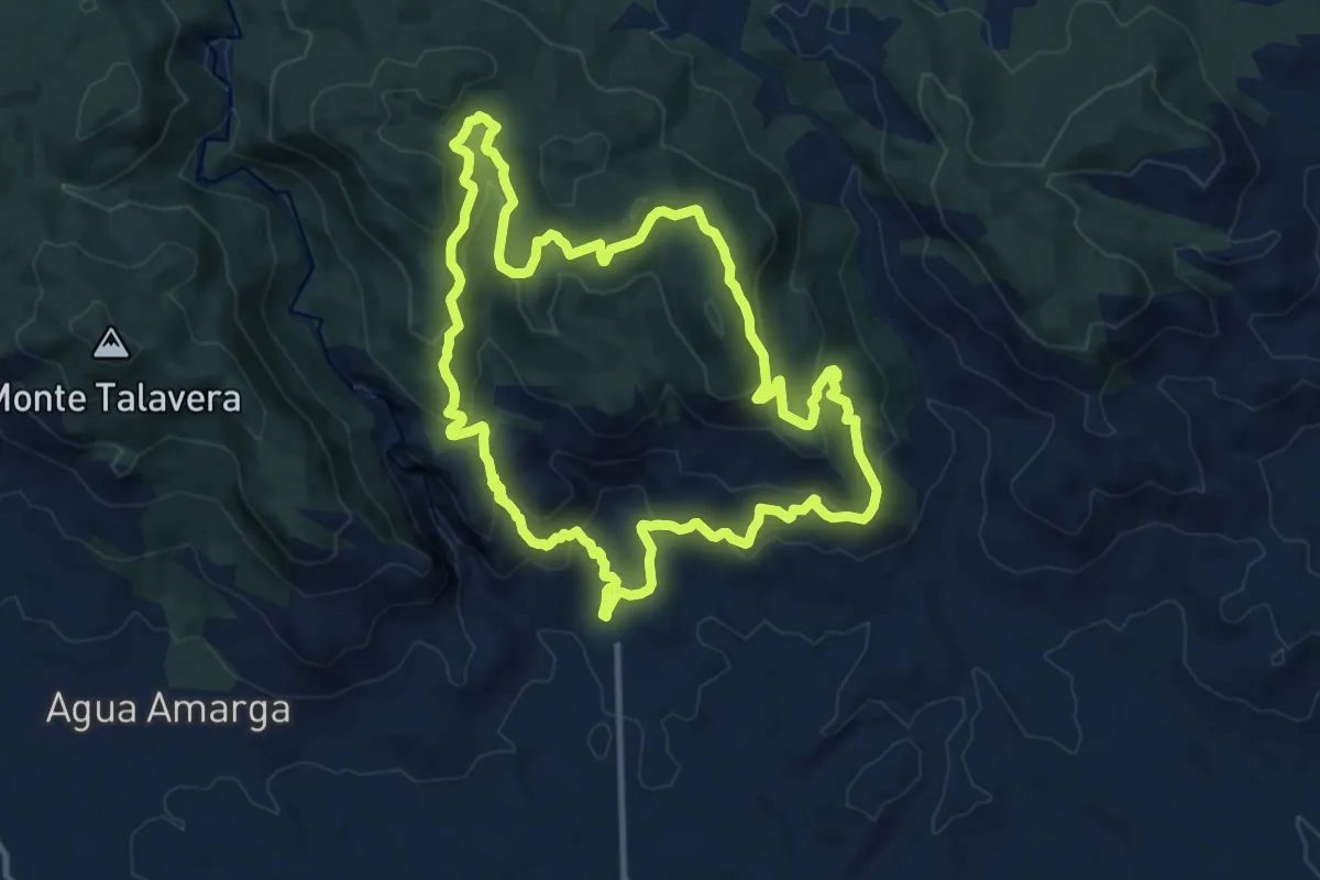
Medium · Summit
Las Arrodeas - El Pinatar
13.3 km · ↑ 595 m · 4 h 37 min · 8 km away
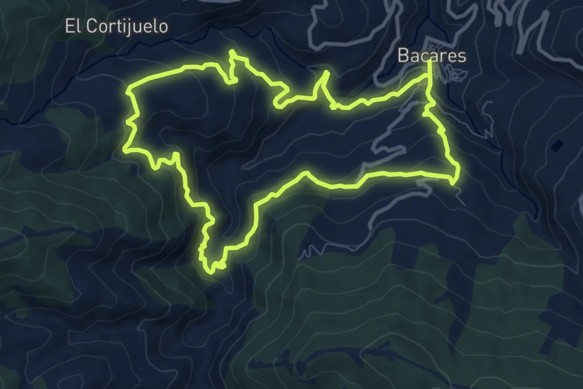
Medium · Trail
El Carrascal
10.1 km · ↑ 499 m · 3 h 36 min · 13 km away
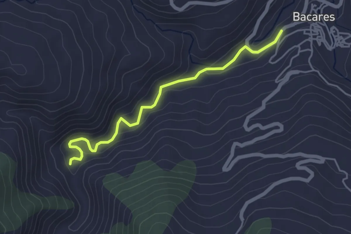
Easy · Trail
Agua del Barracón
4.5 km · ↑ 114 m · 1 h 18 min · 13 km away
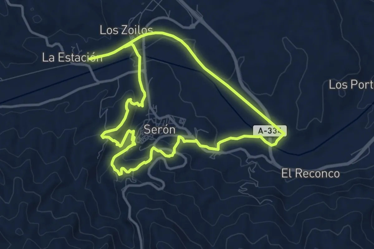
Medium · Trail
Sendero Panorámico de Serón
9.4 km · ↑ 251 m · 2 h 53 min · 14 km away
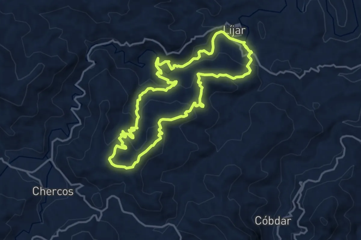
Medium · Summit
Sendero del Poyo
12.4 km · ↑ 524 m · 4 h 14 min · 14 km away
Medium · Trail
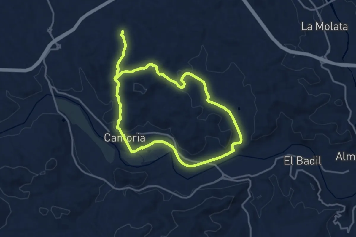
La Jata
10.1 km · ↑ 182 m · 2 h 54 min · 15 km away
Medium · Summit
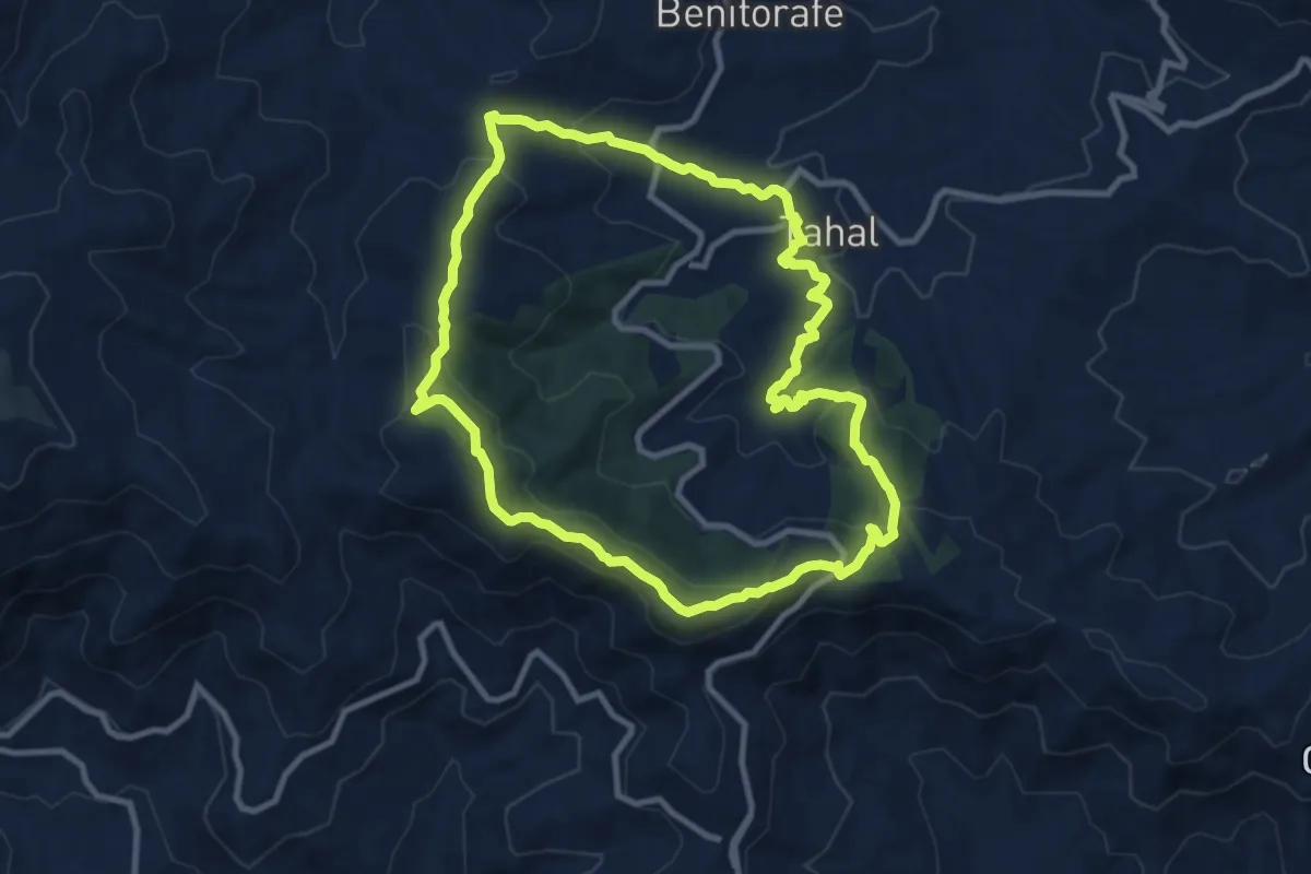
Circular de Tahal
10.9 km · ↑ 434 m · 3 h 40 min · 15 km away