Trails near Ronda
37 hikes starting within 15 km, nearest first.
Nearest first
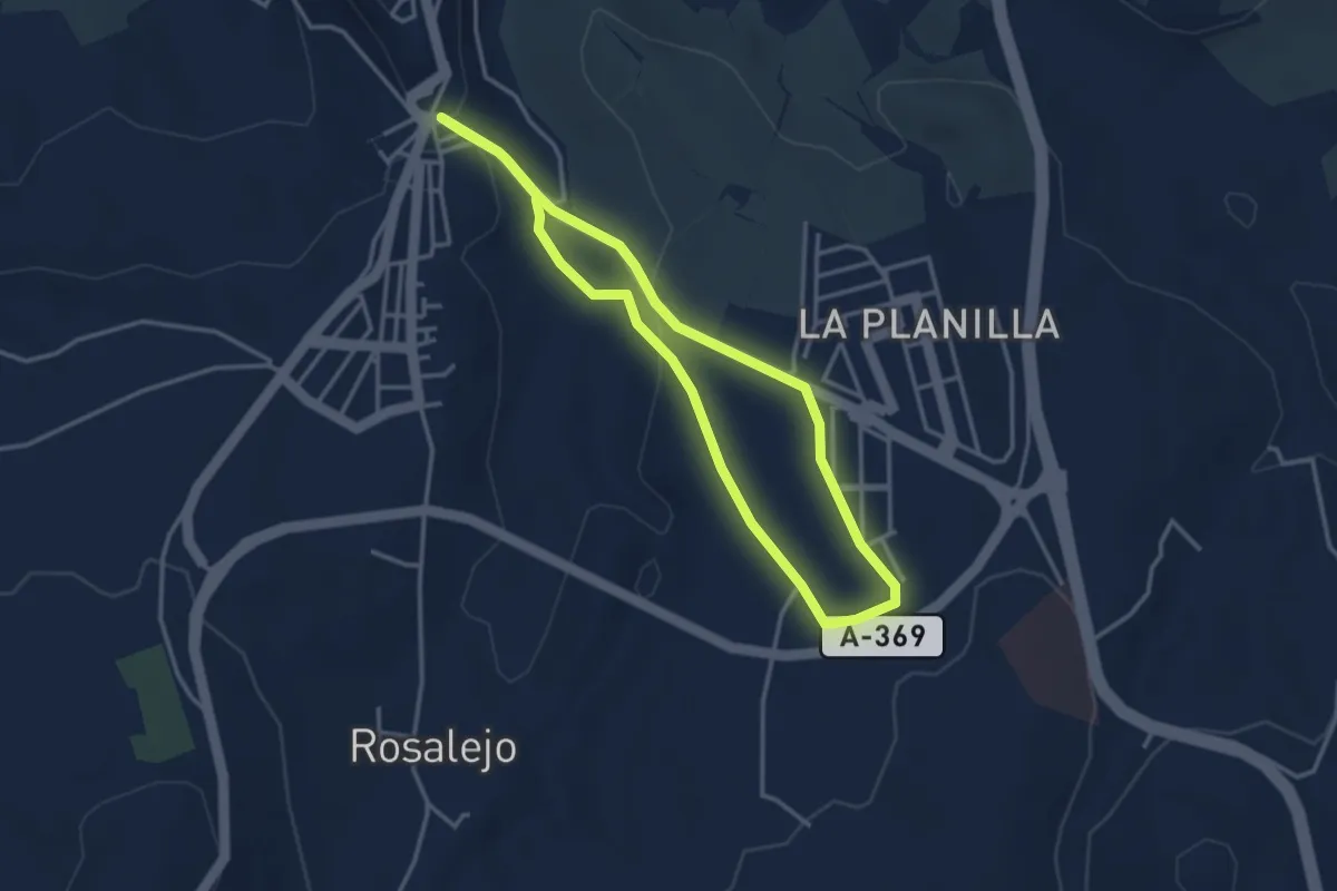
Easy · Trail
Ronda - La Planilla
3.7 km · ↑ 81 m · 1 h 6 min · 1 km away
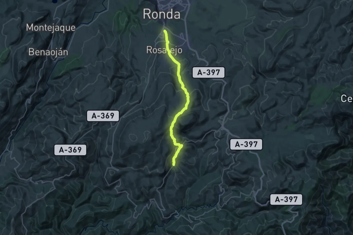
Demanding · Trail
Ronda - Cartajima
22.5 km · ↑ 1029 m · 7 h 32 min · 1 km away
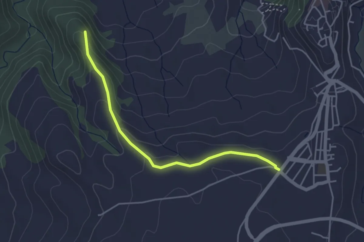
Easy · Trail
Ronda - Ermita de la Virgen de la Cabeza
4.2 km · ↑ 113 m · 1 h 14 min · 2 km away
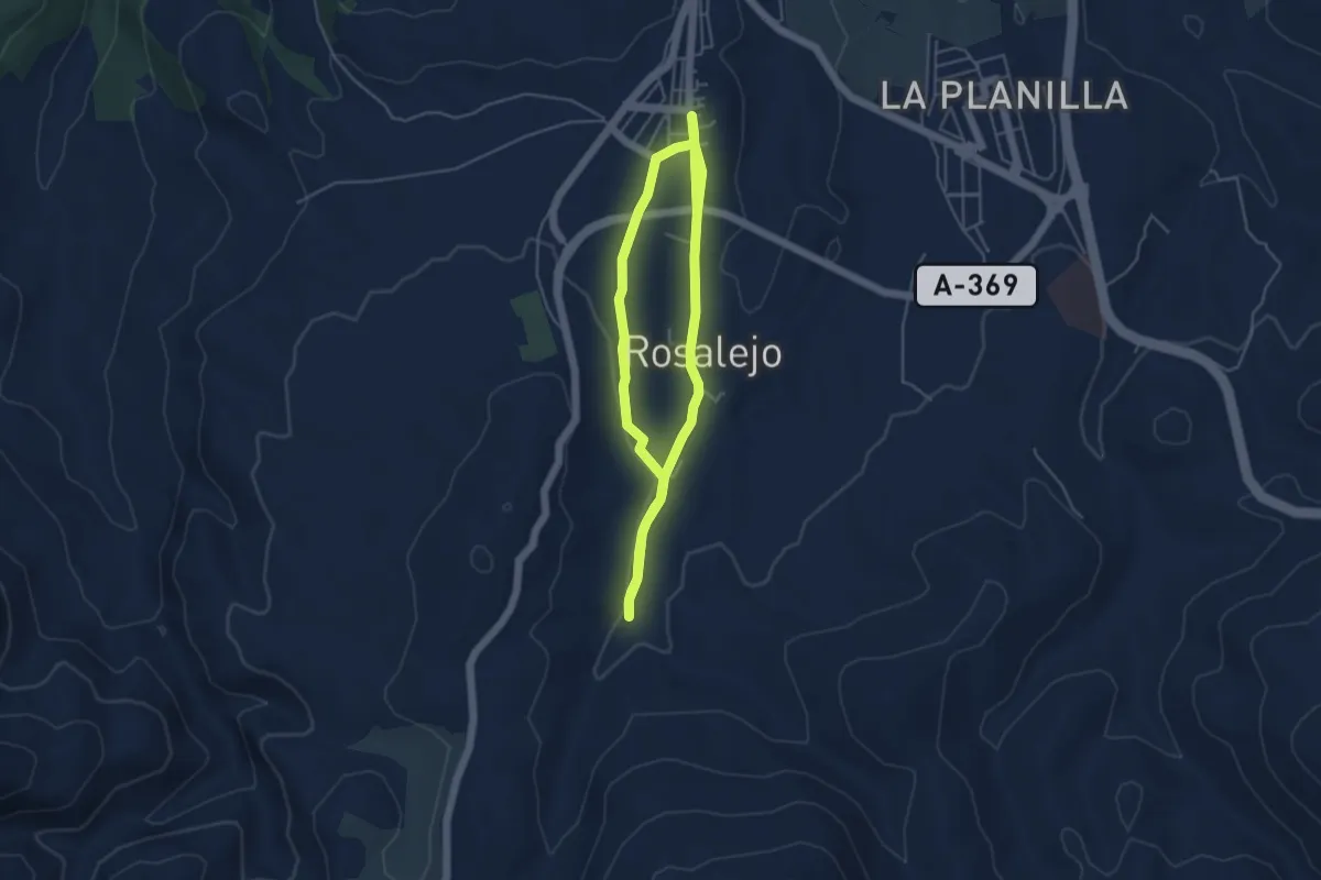
Easy · Trail
Ronda - Pilar de Cartajima
4.8 km · ↑ 38 m · 1 h 17 min · 2 km away
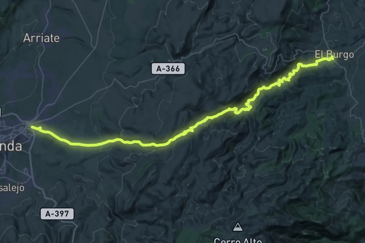
Demanding · Trail
El Burgo - Ronda
23.4 km · ↑ 647 m · 7 h 20 min · 2 km away
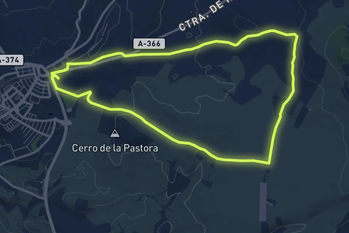
Medium · Trail
Ronda - Pilar de Coca
9.3 km · ↑ 95 m · 2 h 31 min · 2 km away
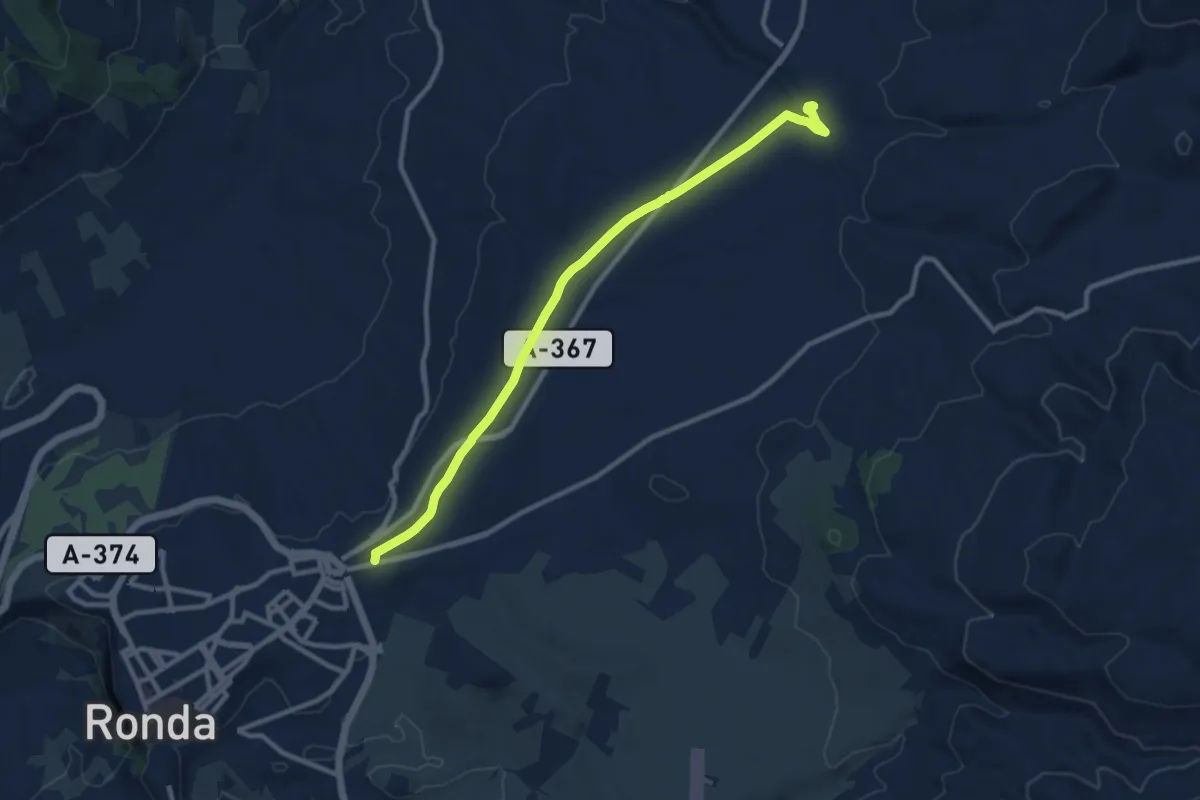
Medium · Trail
Ronda - Puente de la Ventilla
12.0 km · ↑ 150 m · 3 h 10 min · 2 km away
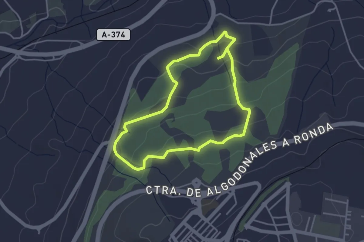
Easy · Trail
Dehesa del Mercadillo
3.4 km · ↑ 109 m · 1 h 5 min · 2 km away
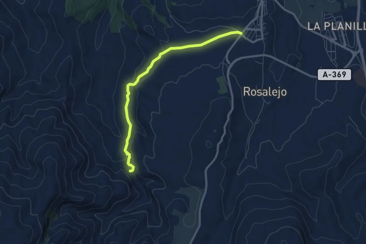
Easy · Trail
Ronda - Tajo del Abanico
7.6 km · ↑ 181 m · 2 h 11 min · 4 km away
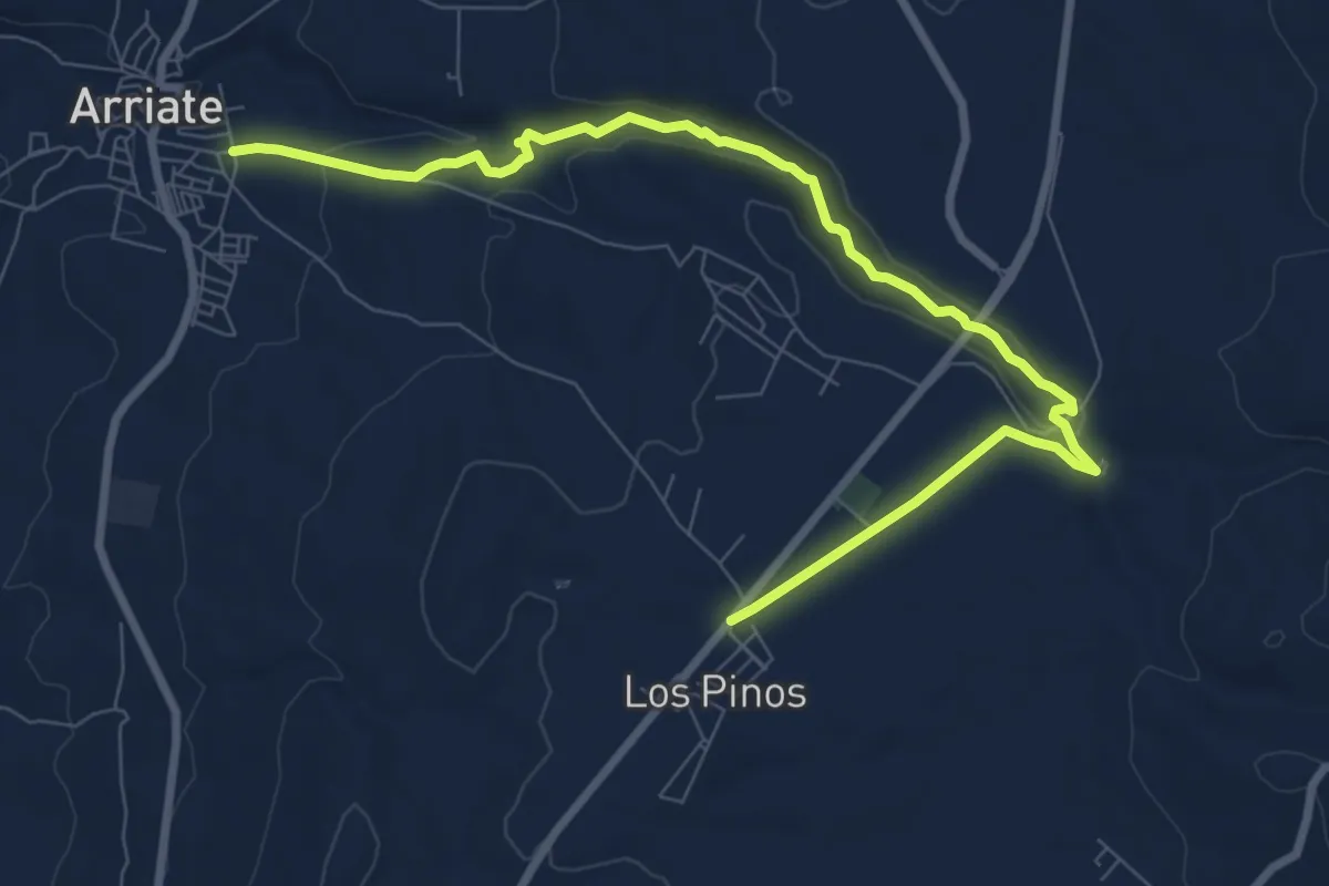
Medium · Trail
Ronda - Arriate
11.4 km · ↑ 214 m · 3 h 9 min · 6 km away
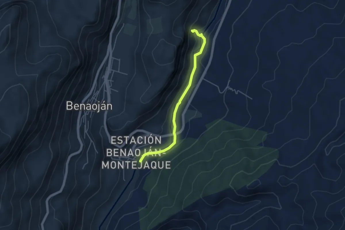
Easy · Trail
La Cueva del Gato
4.5 km · ↑ 69 m · 1 h 12 min · 7 km away
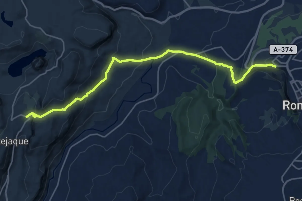
Medium · Trail
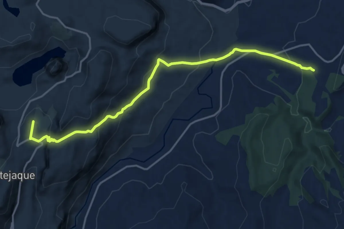
Ronda - Montejaque
16.3 km · ↑ 679 m · 5 h 20 min · 7 km away
Medium · Trail
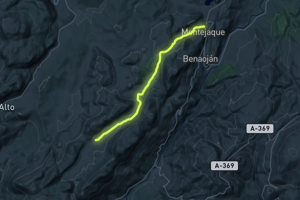
Sendero Camino Viejo de Ronda
13.6 km · ↑ 552 m · 4 h 24 min · 7 km away
Demanding · Trail
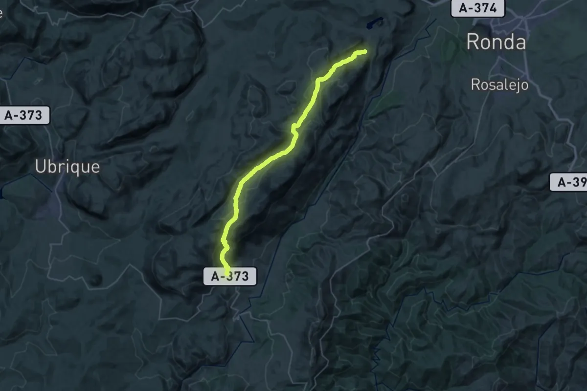
Los Llanos de Líbar
22.2 km · ↑ 523 m · 6 h 22 min · 8 km away
Medium · Trail
Montejaque - Cortes de la Frontera
17.8 km · ↑ 524 m · 5 h 37 min · 8 km away
Medium · Trail
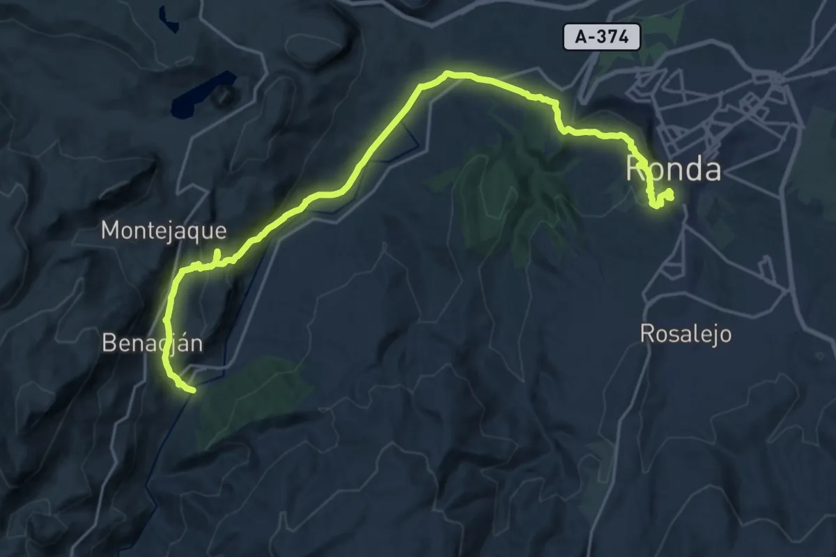
Ronda - Estación de Benaojan
13.0 km · ↑ 573 m · 4 h 21 min · 8 km away
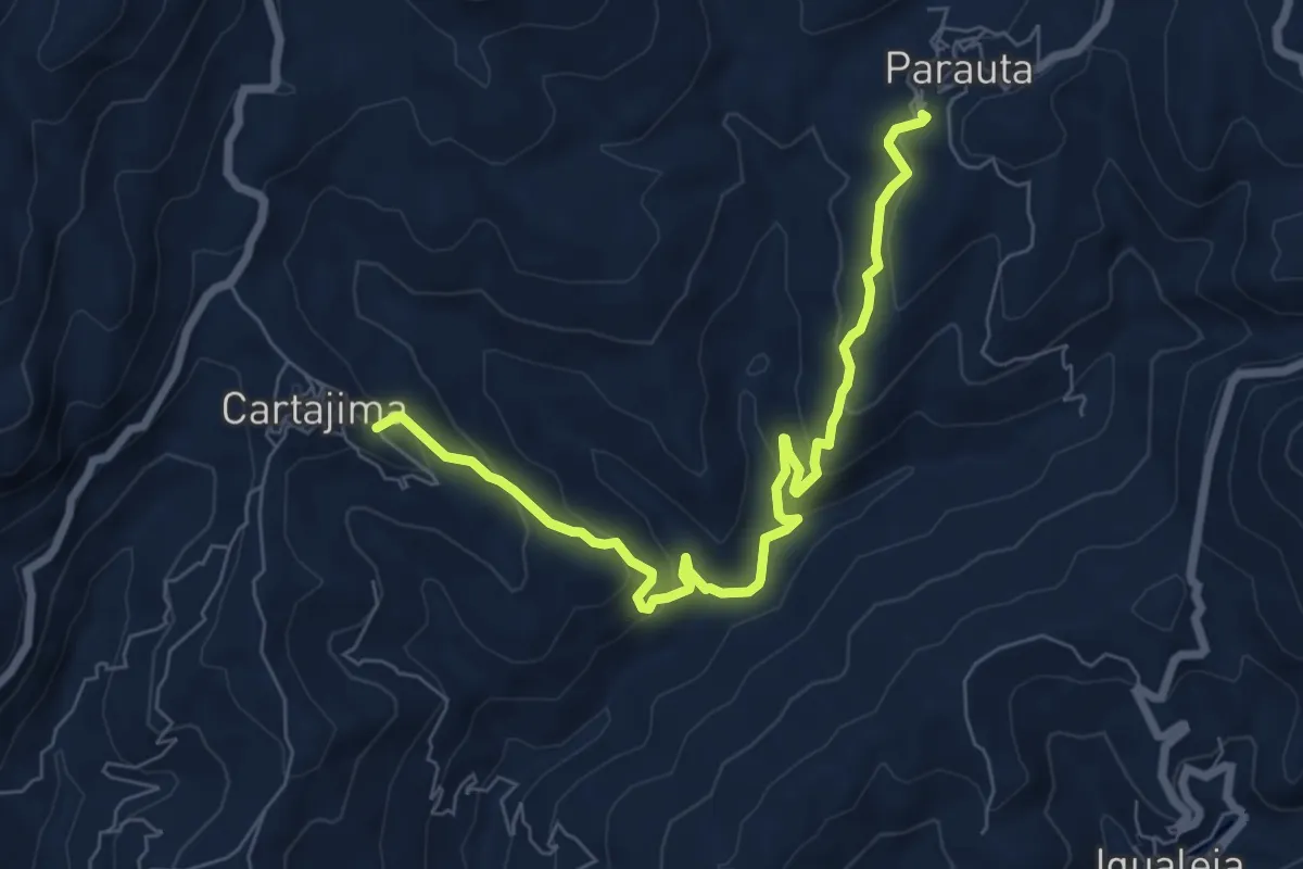
Medium · Trail
Parauta - Cartajima
8.7 km · ↑ 432 m · 2 h 59 min · 10 km away
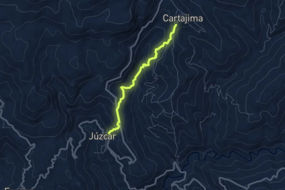
Medium · Trail
Cartajima - Júzcar
5.9 km · ↑ 325 m · 2 h 6 min · 11 km away
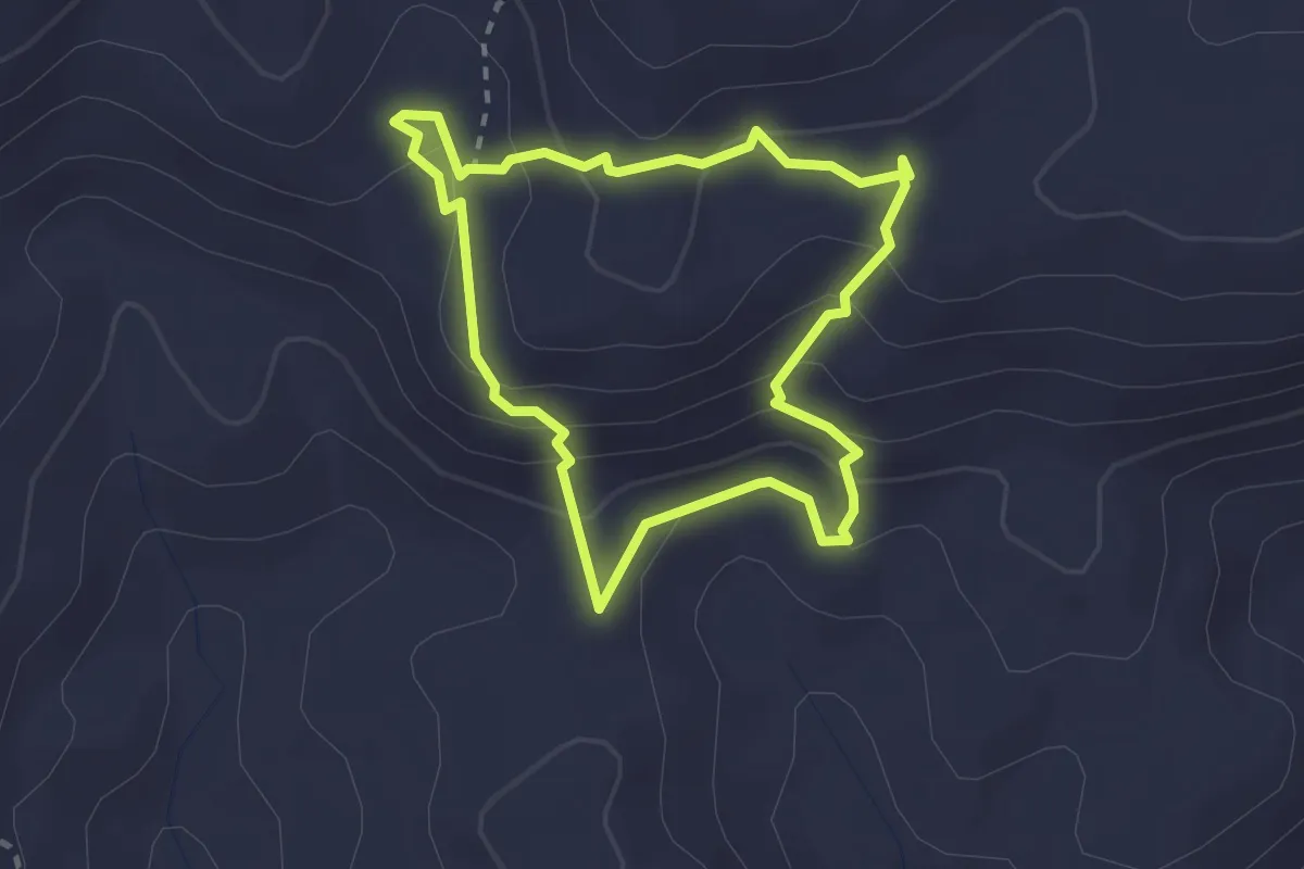
Easy · Trail
Sendero de las Eras
2.6 km · ↑ 140 m · 57 min · 11 km away
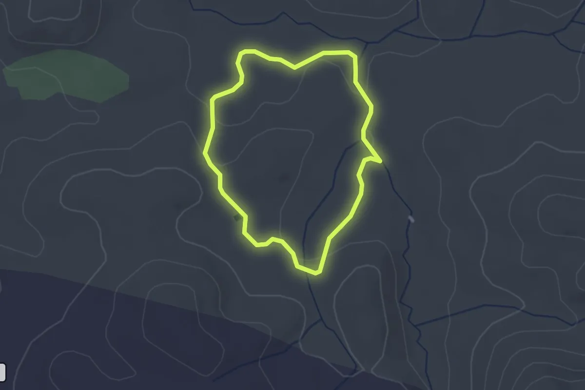
Easy · Trail
Conejeras
2.4 km · ↑ 30 m · 40 min · 12 km away
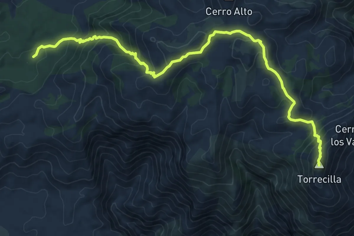
Demanding · Summit
Quejigales - Torrecilla
14.4 km · ↑ 813 m · 5 h 10 min · 12 km away
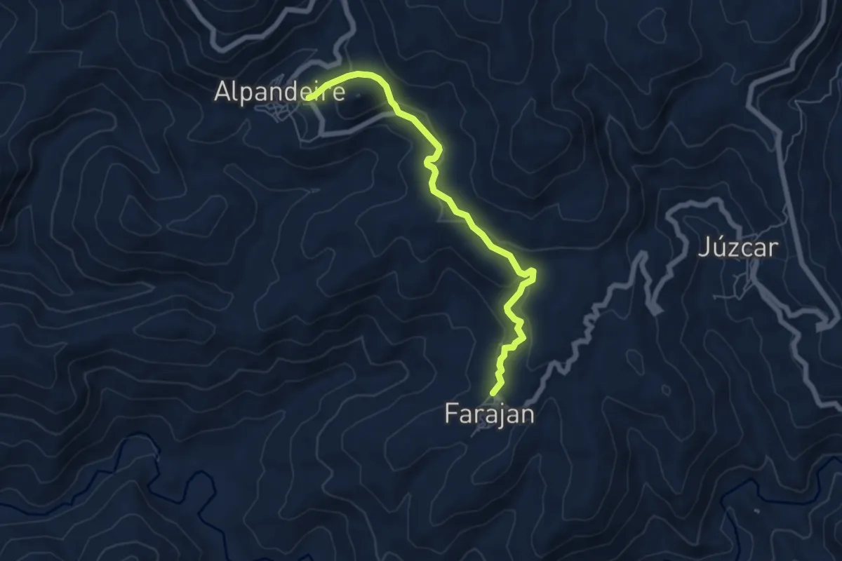
Easy · Trail
Faraján - Alpandeire
6.6 km · ↑ 307 m · 2 h 13 min · 12 km away
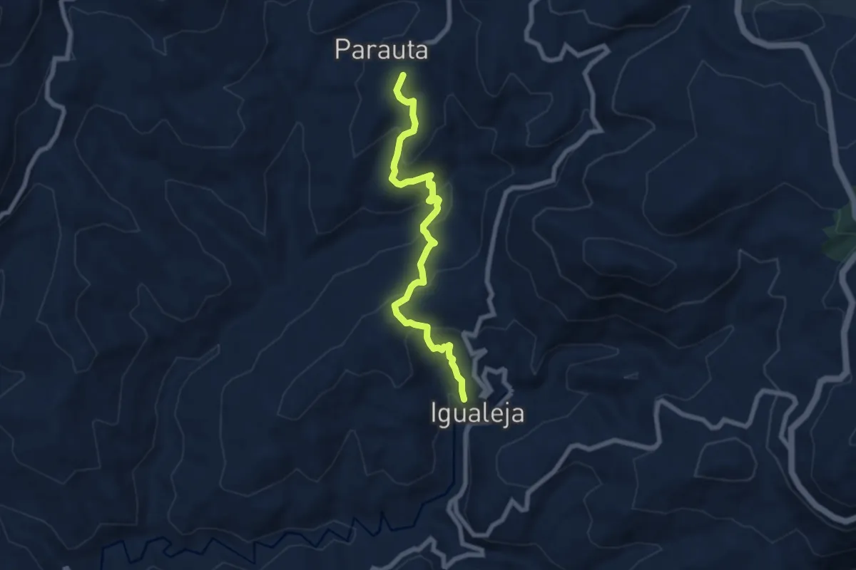
Medium · Summit
Parauta - Igualeja
7.5 km · ↑ 445 m · 2 h 44 min · 13 km away
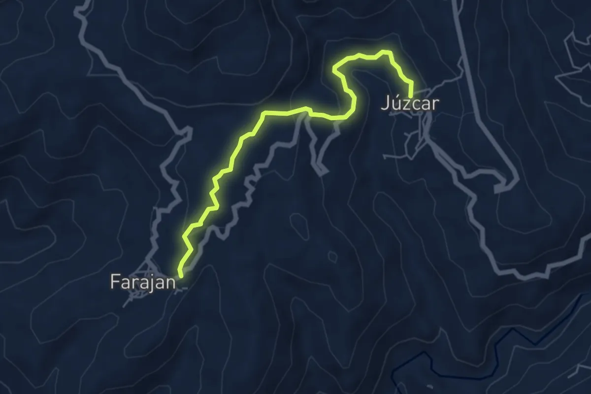
Easy · Trail
Júzcar - Faraján
5.5 km · ↑ 225 m · 1 h 48 min · 13 km away
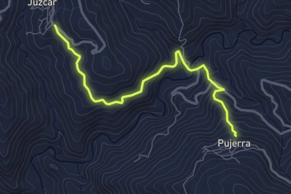
Medium · Trail
Júzcar - Pujerra
6.9 km · ↑ 414 m · 2 h 32 min · 13 km away
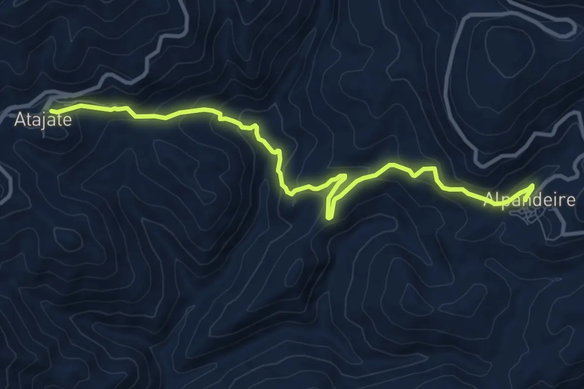
Medium · Trail
Alpandeire - Atajate
10.7 km · ↑ 619 m · 3 h 52 min · 13 km away
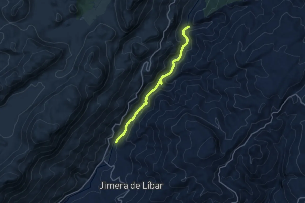
Medium · Trail
Sendero del Río Guadiaro
11.0 km · ↑ 304 m · 3 h 16 min · 13 km away
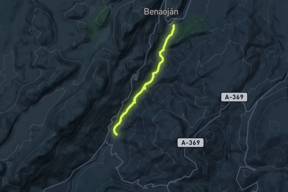
Medium · Trail
Río Guadiaro
14.6 km · ↑ 397 m · 4 h 18 min · 13 km away
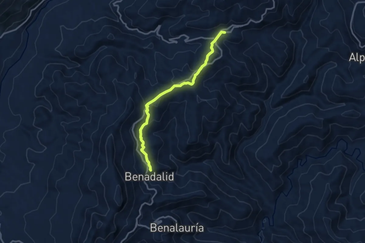
Demanding · Trail
Atajate - Bendalid
10.4 km · ↑ 329 m · 3 h 10 min · 13 km away
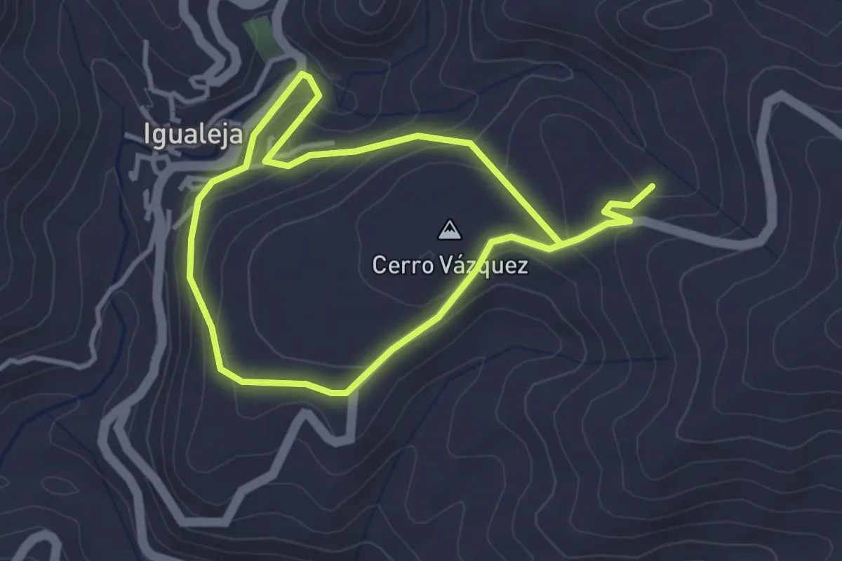
Easy · Summit
Las Caleras
3.3 km · ↑ 146 m · 1 h 8 min · 13 km away
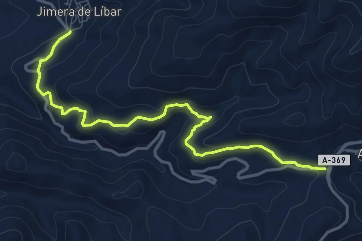
Medium · Trail
Atajate - Jimera de Líbar
8.8 km · ↑ 372 m · 2 h 52 min · 14 km away
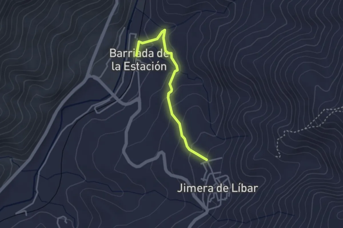
Easy · Trail
Camino de la Estación
1.6 km · ↑ 0 m · 27 min · 14 km away
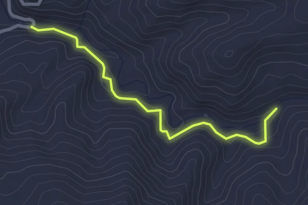
Easy · Trail
Charco de la Cal
4.9 km · ↑ 189 m · 1 h 33 min · 14 km away
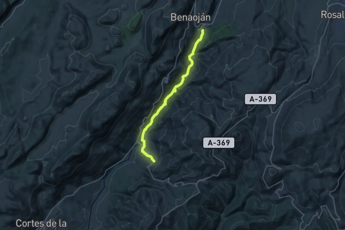
Demanding · Trail
Estación de Benaojan - Jimera de Líbar
18.3 km · ↑ 524 m · 5 h 28 min · 14 km away
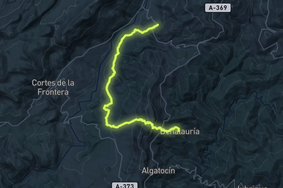
Demanding · Trail
Jimera de Líbar - Benalauría
14.3 km · ↑ 804 m · 5 h 14 min · 14 km away
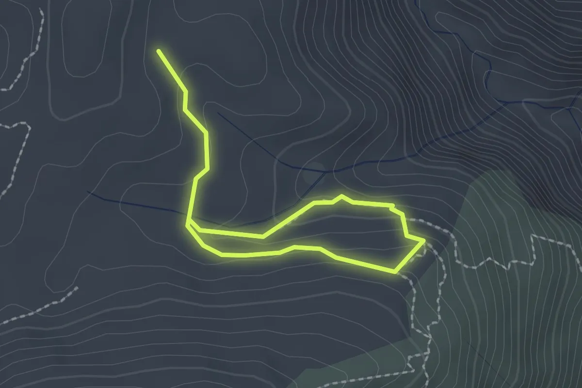
Easy · Trail
Las Escaleretas
1.5 km · ↑ 77 m · 32 min · 14 km away
Medium · Trail
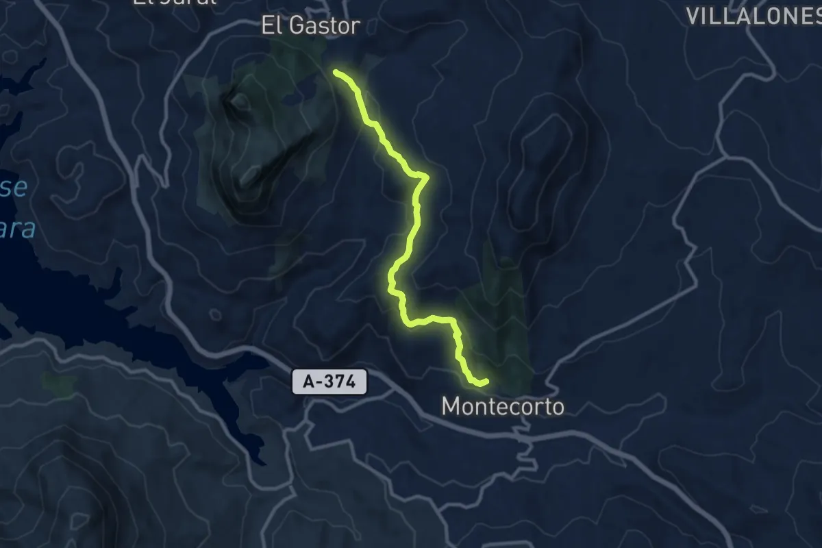
Sendero Montecorto - El Gastor
10.6 km · ↑ 419 m · 3 h 25 min · 15 km away