Trails near San Bartolomé
47 hikes starting within 15 km, nearest first.
Nearest first
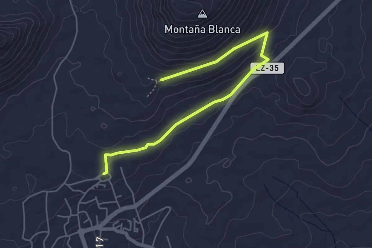
Easy · Trail
Sendero 5
5.8 km · ↑ 172 m · 1 h 45 min · 4 km away
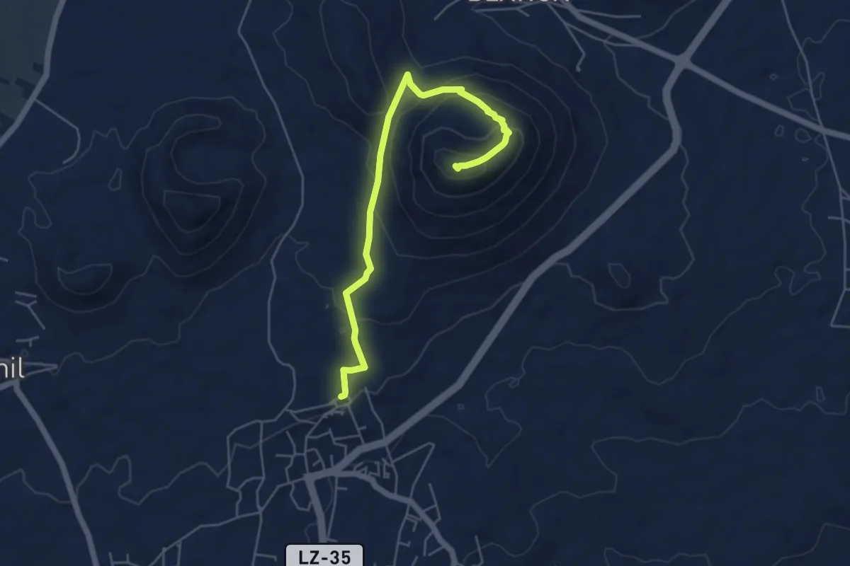
Medium · Summit
Sendero 6
6.5 km · ↑ 362 m · 2 h 20 min · 5 km away
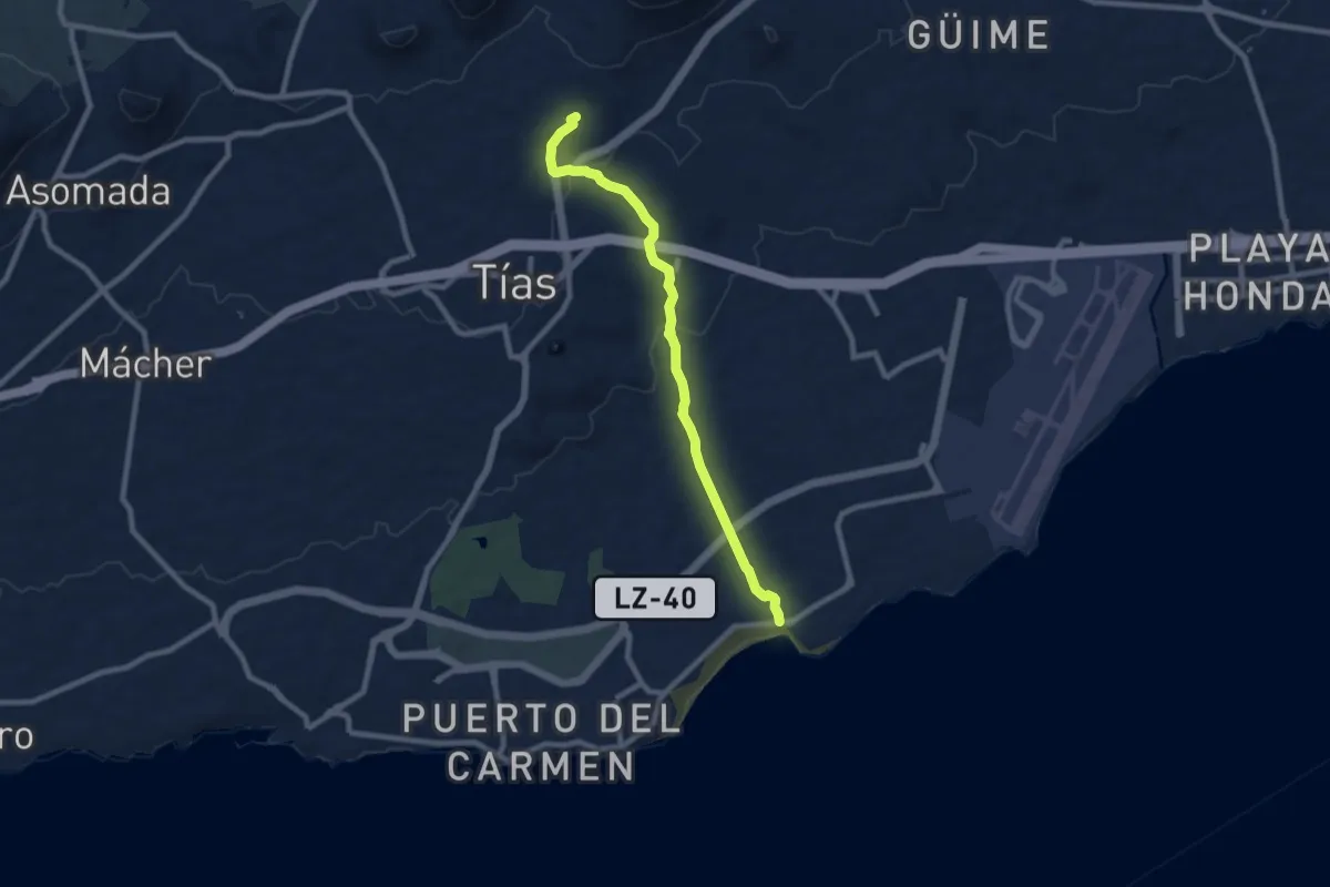
Medium · Trail
Sendero 2
10.4 km · ↑ 248 m · 3 h · 5 km away
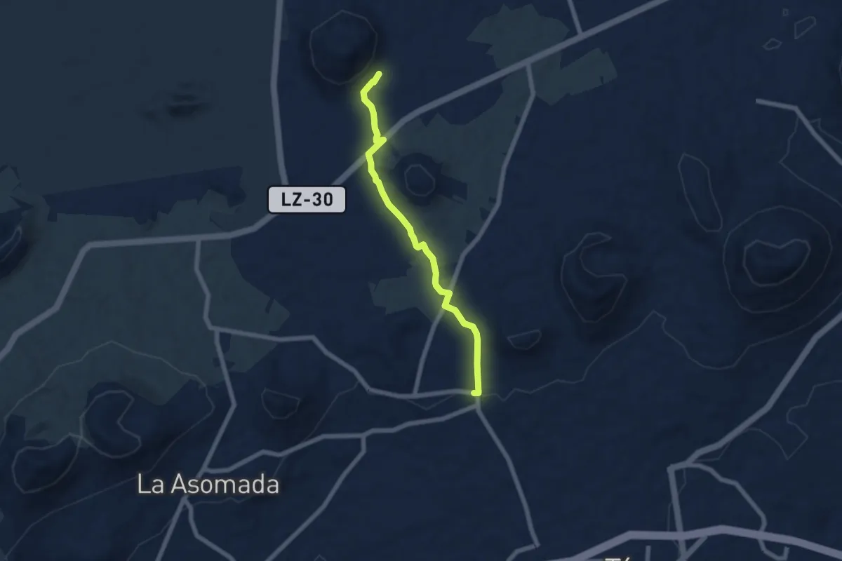
Easy · Trail
Sendero 3
7.0 km · ↑ 76 m · 1 h 49 min · 6 km away
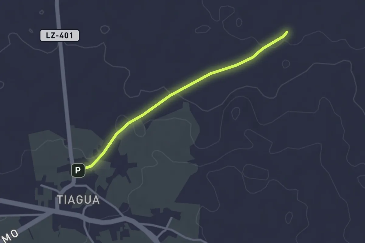
Easy · Trail
Tramo01 - Tiagua - Camino Teguise a Muñique
3.2 km · ↑ 48 m · 51 min · 6 km away
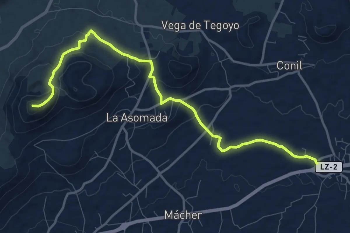
Medium · Summit
Sendero 4
12.4 km · ↑ 446 m · 3 h 54 min · 7 km away
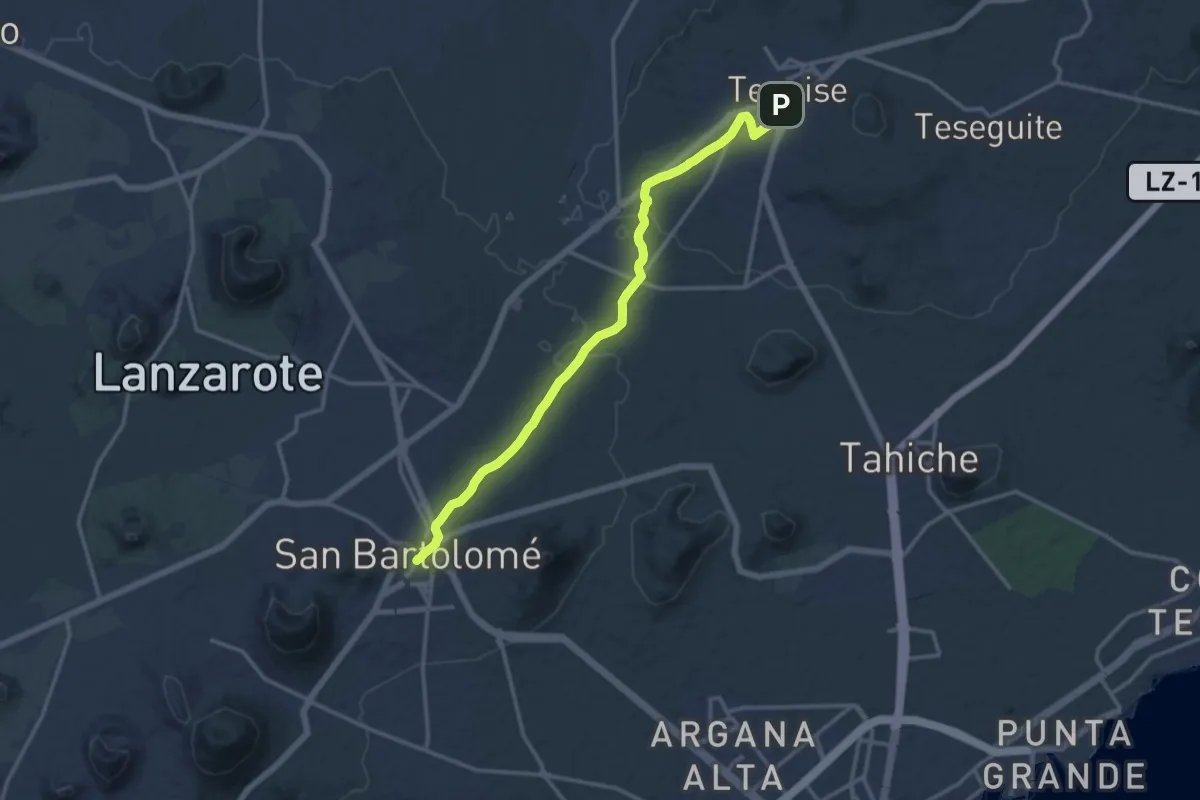
Demanding · Trail
Etapa 3
18.4 km · ↑ 208 m · 4 h 48 min · 8 km away
Easy · Trail
Tramo02 - Cruce Camino de Teguise a Muñique - Camino de Teguise a Soo
3.2 km · ↑ 35 m · 49 min · 8 km away
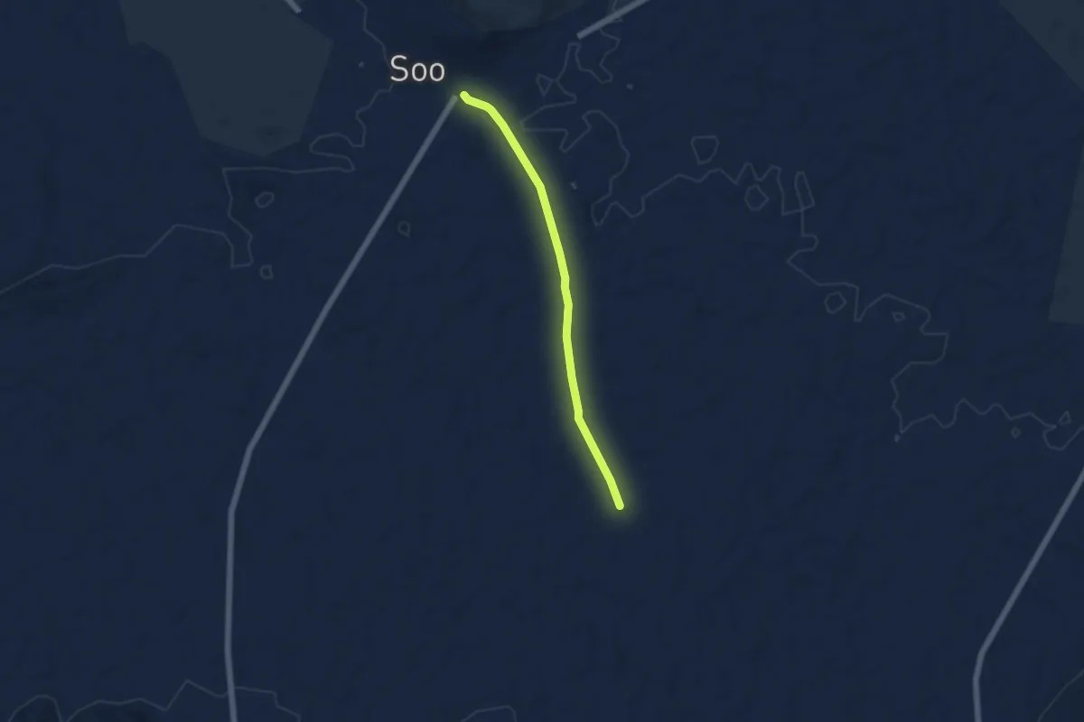
Easy · Trail
Tramo03 - Camino San Bartolome a Soo - Soo
5.9 km · ↑ 35 m · 1 h 28 min · 8 km away
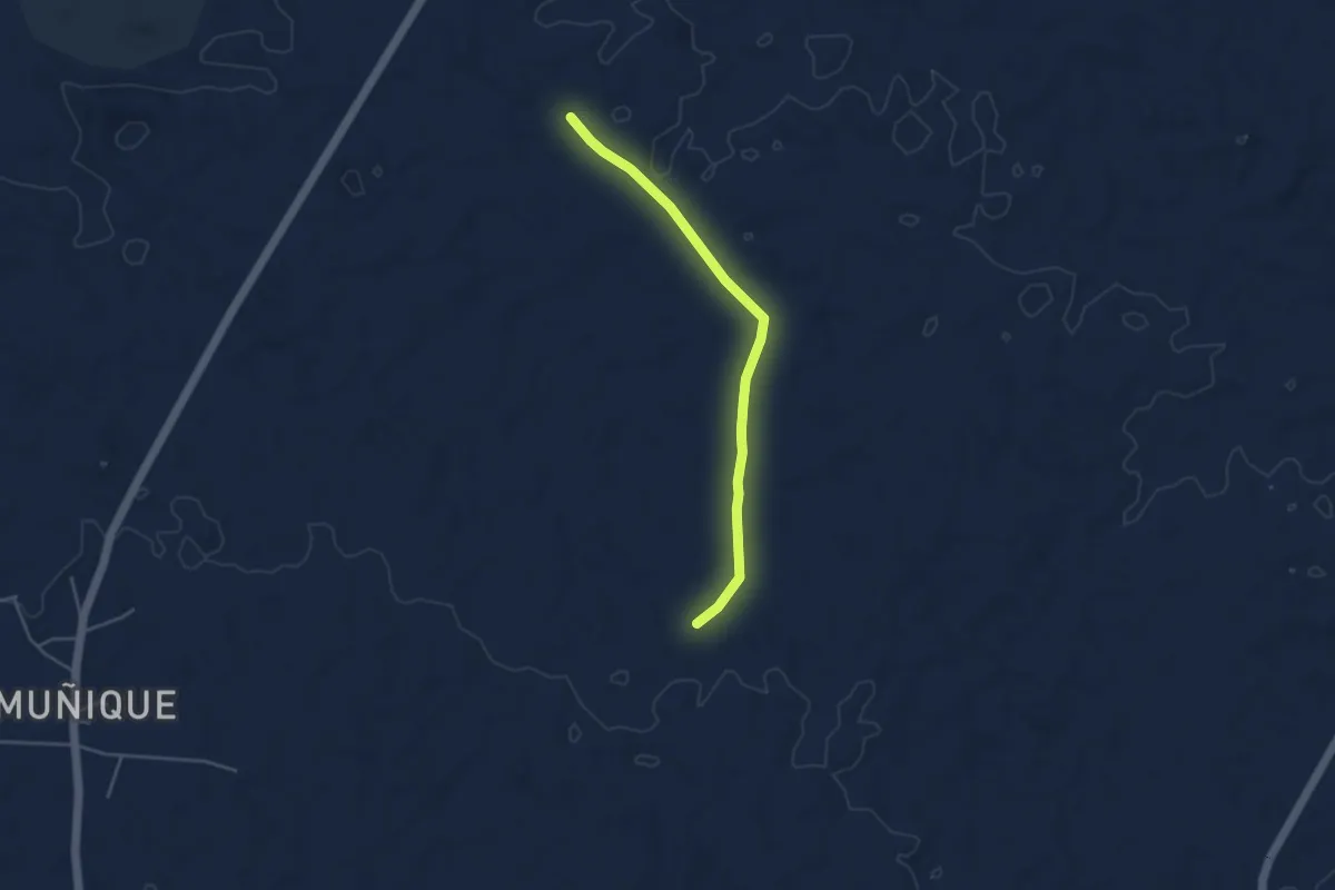
Easy · Trail
Tramo03 - Variantea
4.9 km · ↑ 32 m · 1 h 14 min · 8 km away
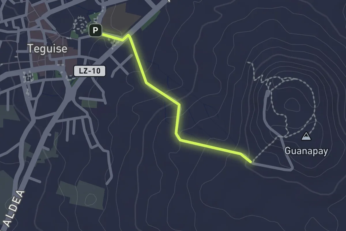
Easy · Trail
Tramo01 - Teguise - Guanapay
2.1 km · ↑ 79 m · 40 min · 8 km away
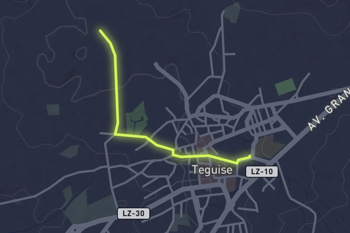
Easy · Trail
Tramo01 - Teguise - Ermita de San Rafael Va
2.9 km · ↑ 40 m · 46 min · 9 km away
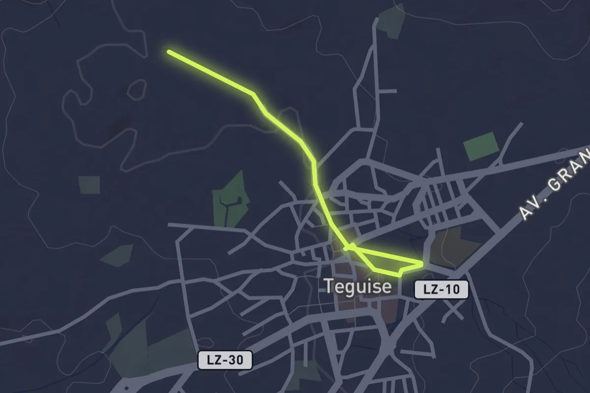
Easy · Trail
Tramo01 - Teguise - Ermita de San Rafael
3.0 km · ↑ 27 m · 46 min · 9 km away
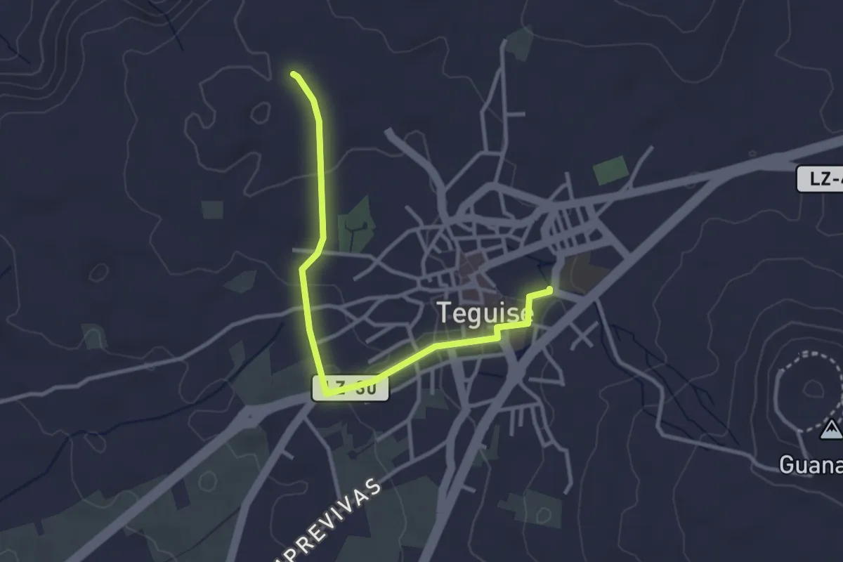
Easy · Trail
Tramo01 - Teguise - Ermita de San Rafael Vb
4.0 km · ↑ 67 m · 1 h 5 min · 9 km away
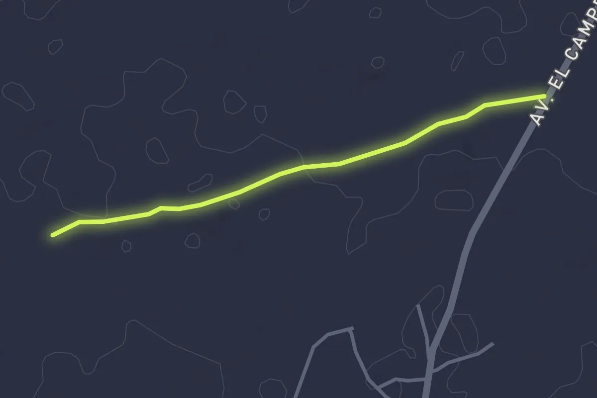
Easy · Trail
Tramo04 - Las Melianas - Las Vegas
3.5 km · ↑ 23 m · 53 min · 9 km away
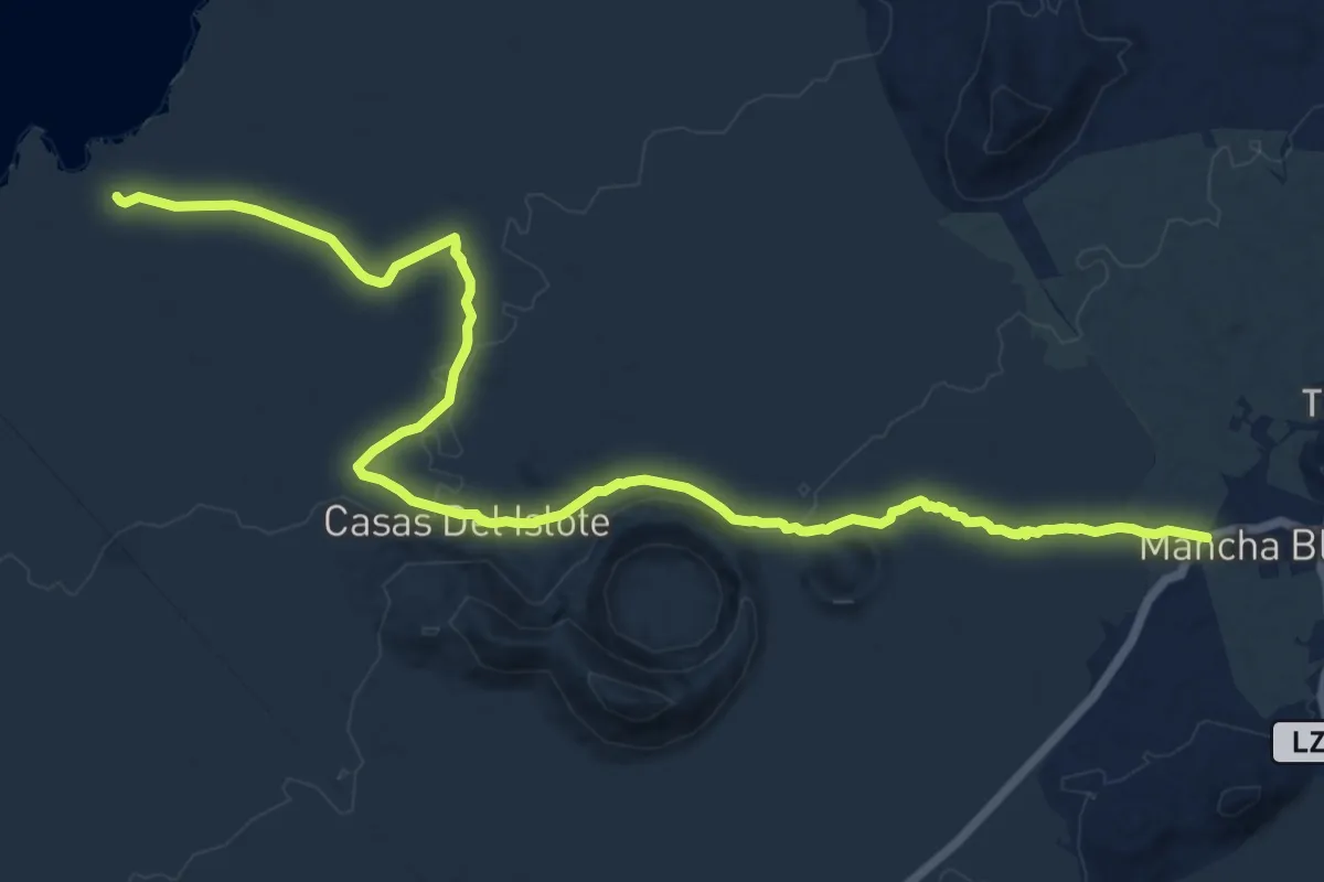
Demanding · Trail
Mancha Blanca – Playa de las Malvas
20.0 km · ↑ 310 m · 5 h 23 min · 9 km away
Easy · Trail
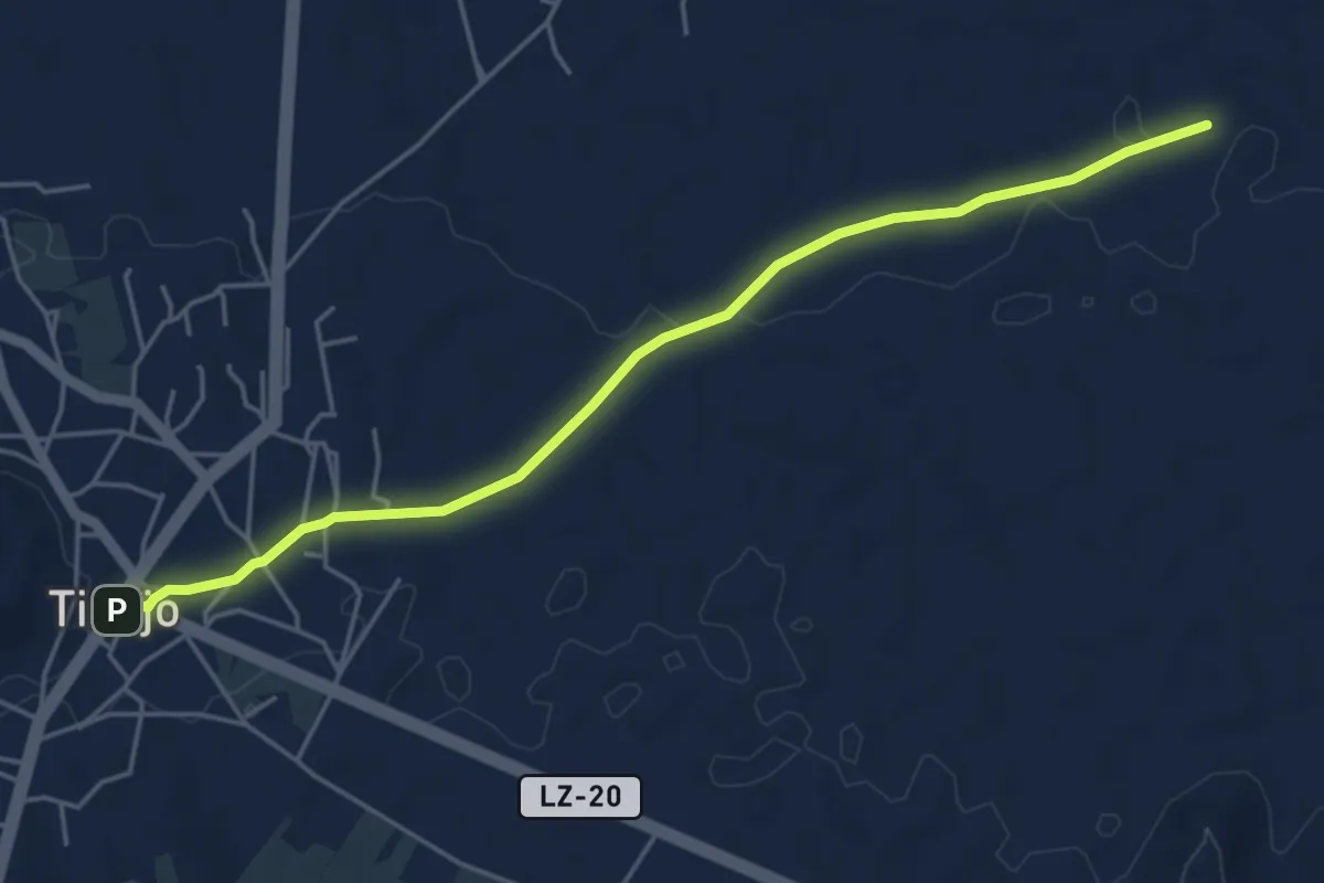
Tramo05 - Las Vegas - Tinajo
6.3 km · ↑ 61 m · 1 h 37 min · 9 km away
Easy · Trail
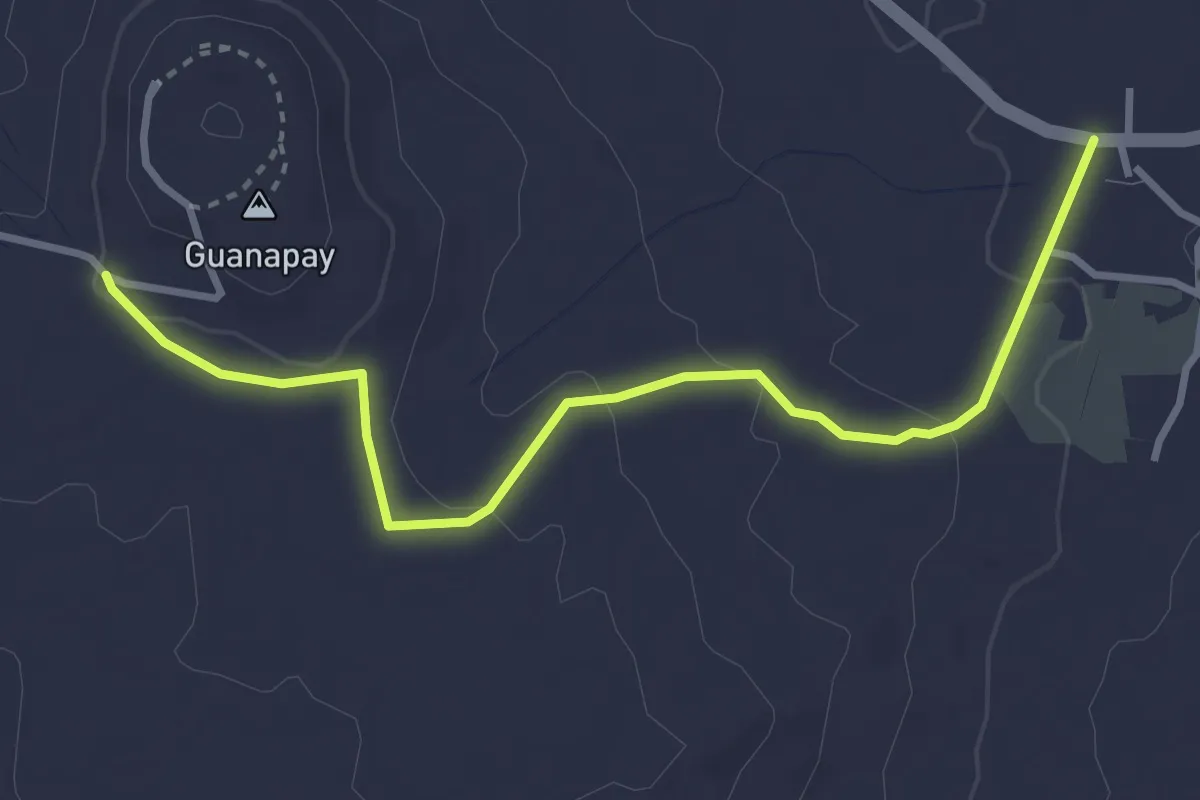
Tramo02 - Guanapay - Teseguite
4.5 km · ↑ 99 m · 1 h 17 min · 10 km away
Easy · Trail
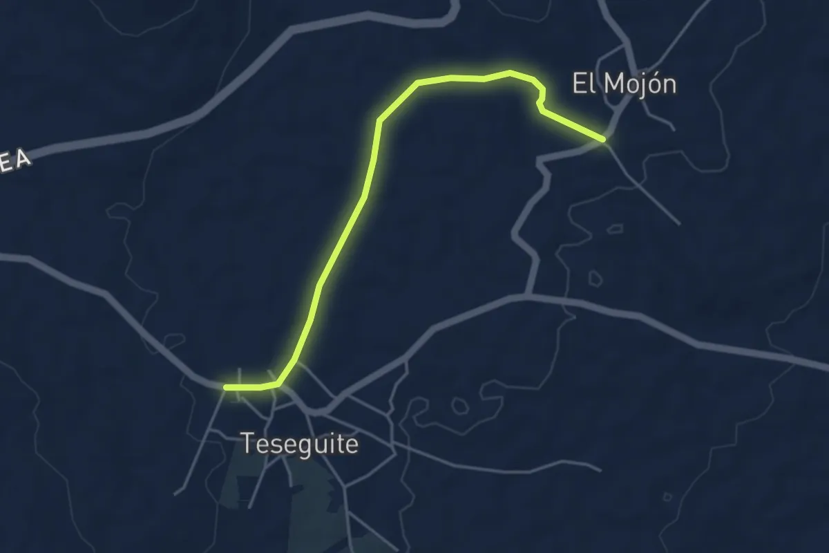
Tramo03 - Teseguite - El Mojon
5.1 km · ↑ 47 m · 1 h 19 min · 10 km away
Easy · Trail
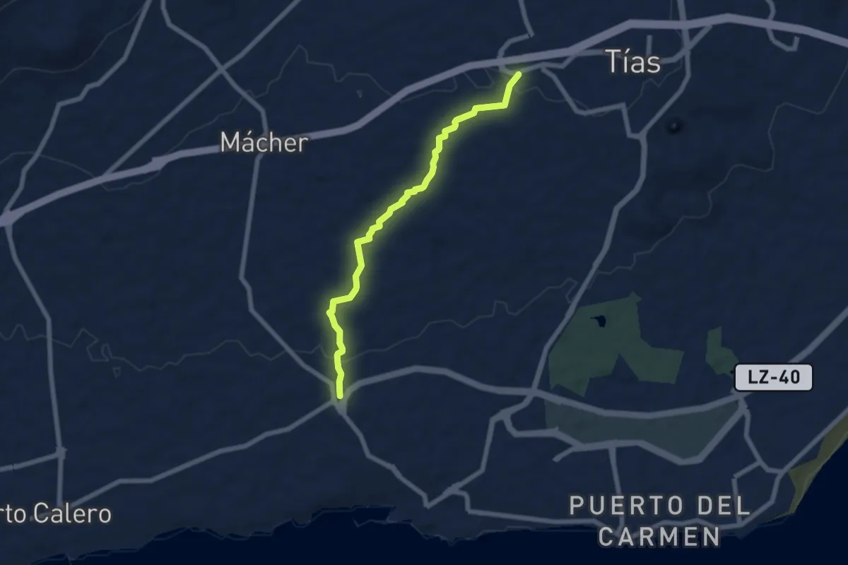
Sendero 7
7.3 km · ↑ 115 m · 1 h 59 min · 10 km away
Easy · Summit
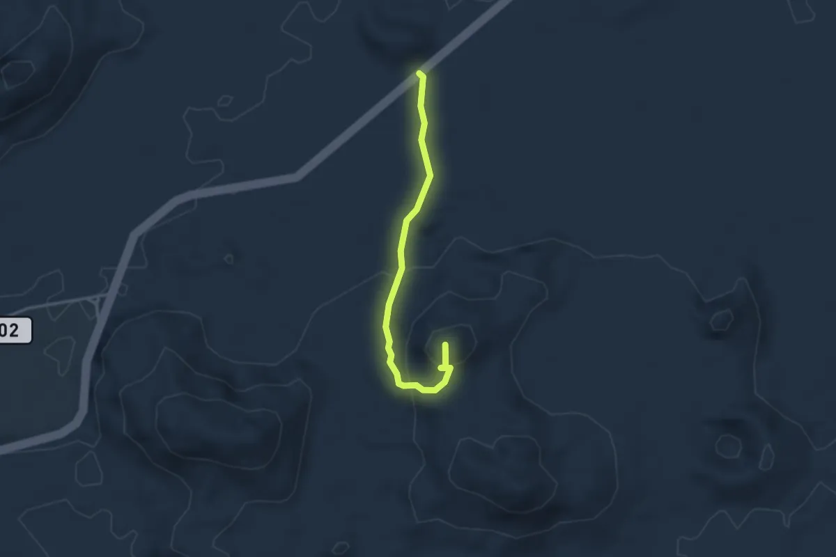
Ruta de Pico Partido
3.6 km · ↑ 157 m · 1 h 12 min · 11 km away
Easy · Trail
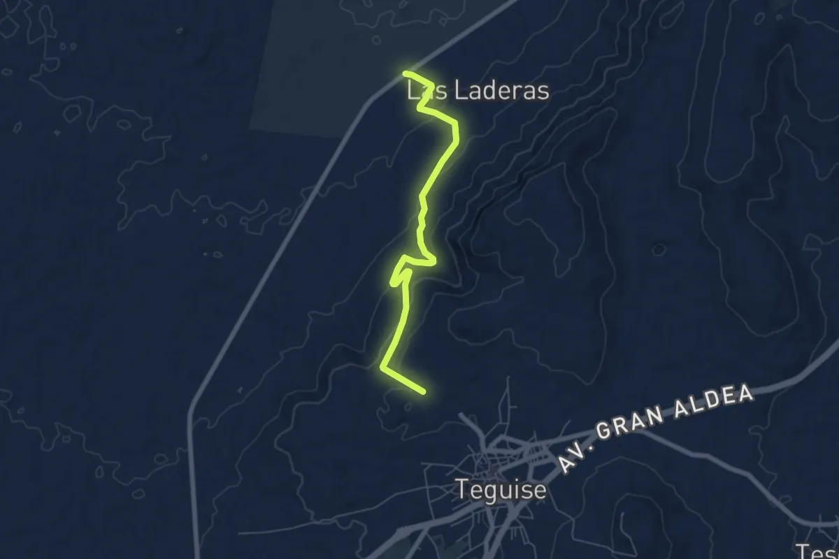
Tramo02 - Ermita de San Rafael - Las Laderas Va
7.5 km · ↑ 264 m · 2 h 21 min · 11 km away
Easy · Trail
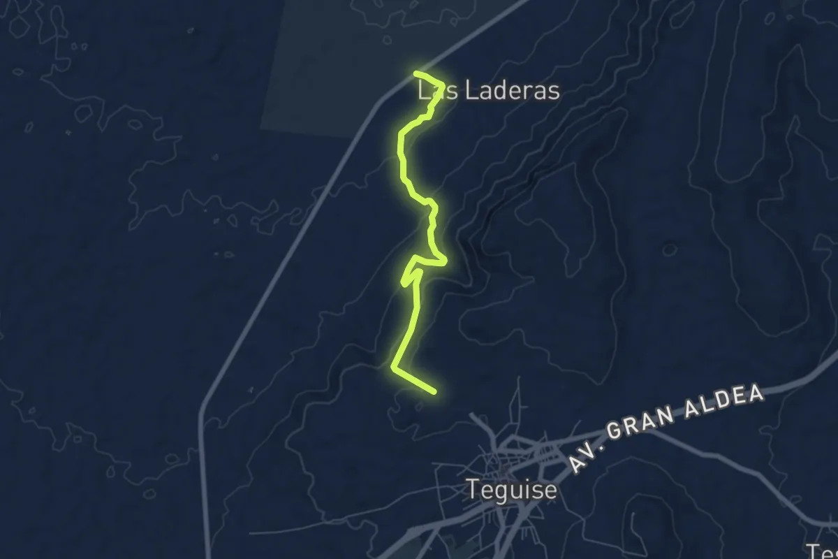
Tramo02 - Ermita de San Rafael - Las Laderas
7.5 km · ↑ 263 m · 2 h 21 min · 11 km away
Easy · Trail
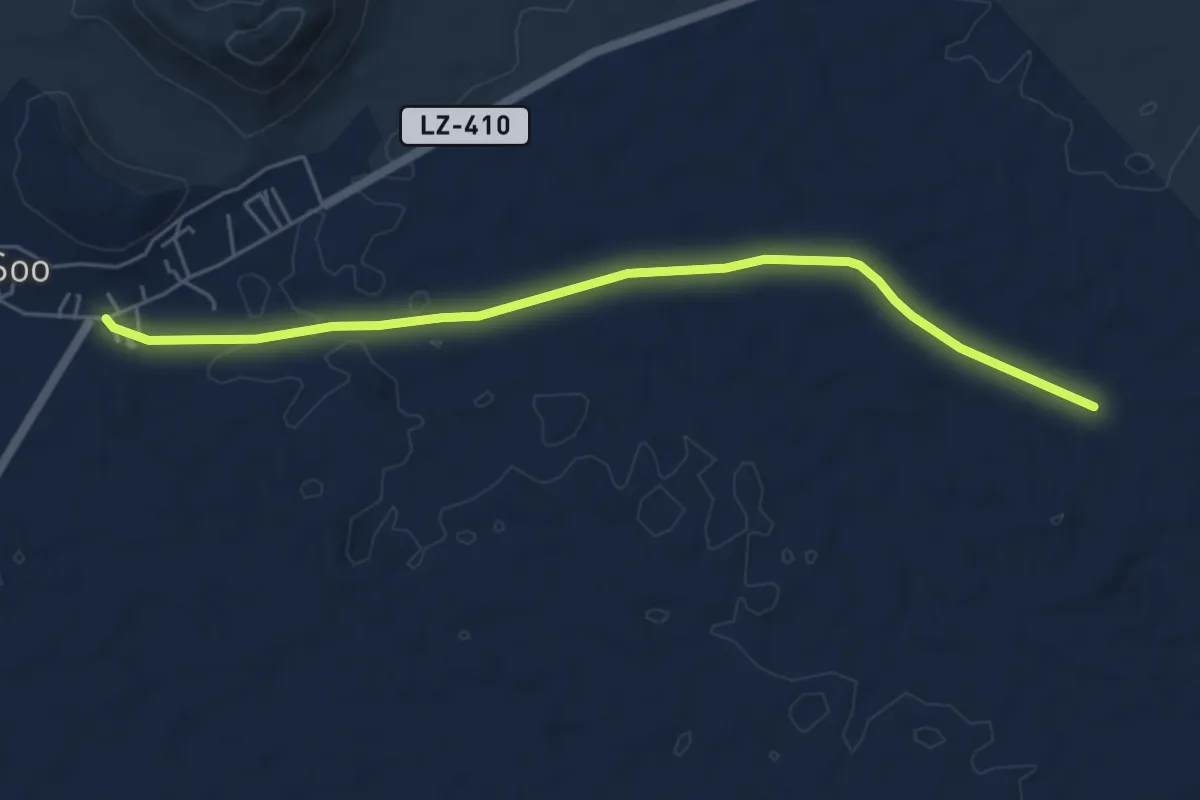
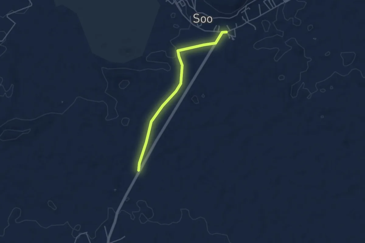
Tramo02 - Acuche - Soo
7.1 km · ↑ 45 m · 1 h 46 min · 11 km away
Easy · Trail
Tramo03 - Soo - Las Melianas
4.8 km · ↑ 21 m · 1 h 10 min · 11 km away
Easy · Trail
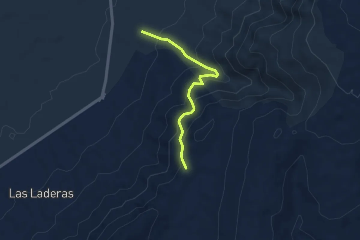
Tramo03 - Las Laderas - Acuche (urb. Vista Graciosa)
3.6 km · ↑ 28 m · 55 min · 11 km away
Easy · Trail
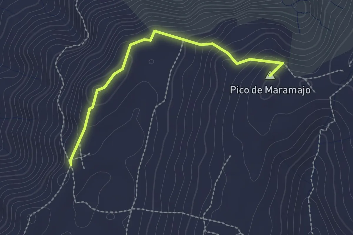
Tramo08 - Morro Alto - Las Laderas
4.2 km · ↑ 303 m · 1 h 38 min · 12 km away
Easy · Summit
Tramo07 - Pico Del Maramajo - Morro Alto
2.8 km · ↑ 139 m · 58 min · 12 km away
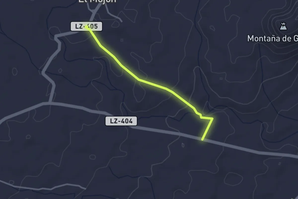
Easy · Trail
Tramo04 - El Mojon - Los Roferos
3.2 km · ↑ 81 m · 56 min · 12 km away
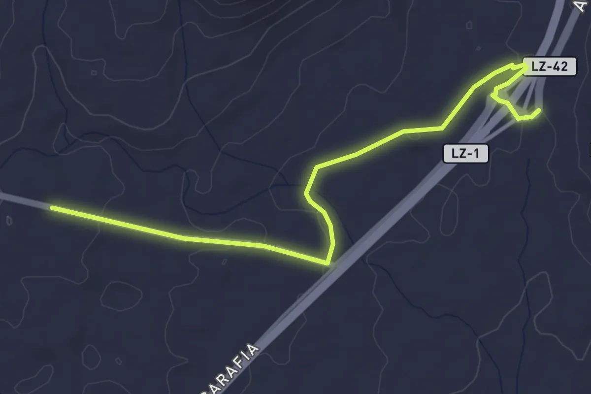
Easy · Trail
Tramo05 - Los Roferos - Los Cascajos
5.7 km · ↑ 66 m · 1 h 30 min · 12 km away
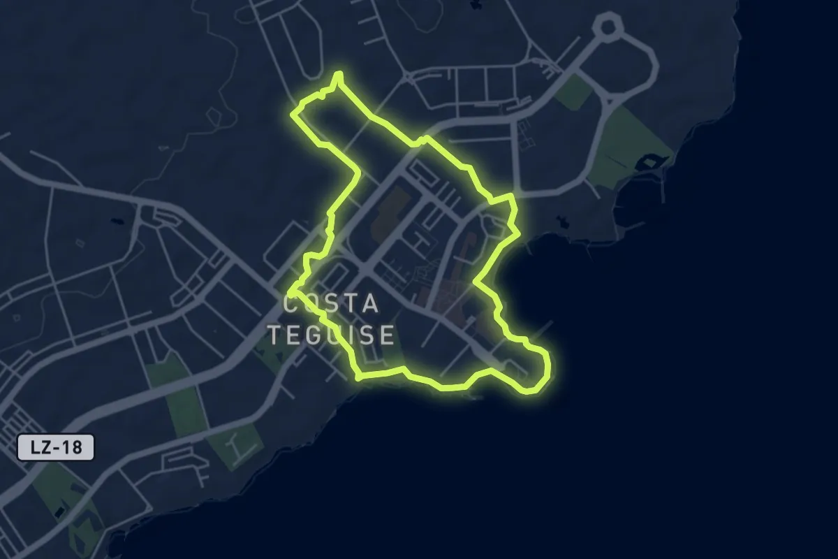
Easy · Trail
Paseo 1
5.7 km · ↑ 41 m · 1 h 31 min · 12 km away
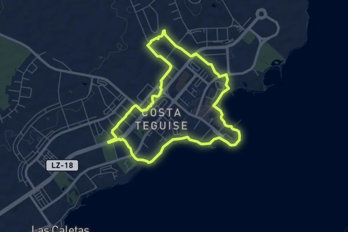
Easy · Trail
Paseo 2
7.2 km · ↑ 48 m · 1 h 55 min · 12 km away
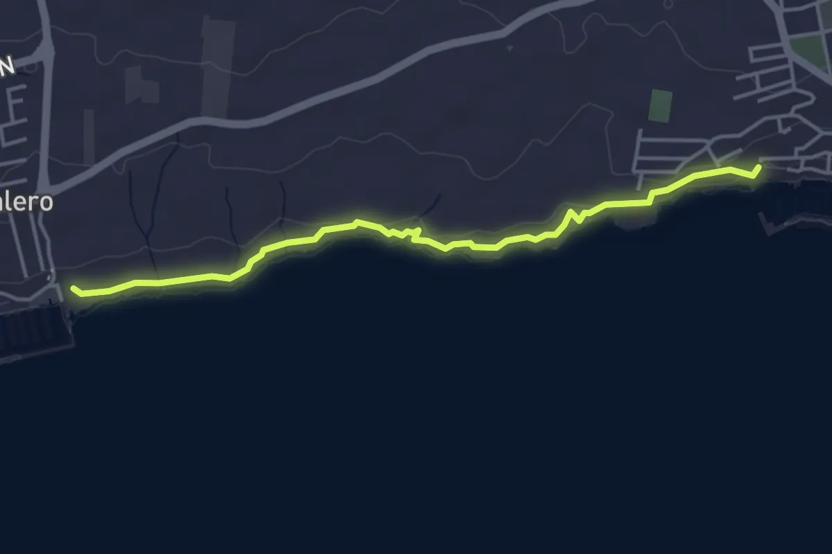
Easy · Trail
Sendero 1
5.2 km · ↑ 72 m · 1 h 23 min · 12 km away
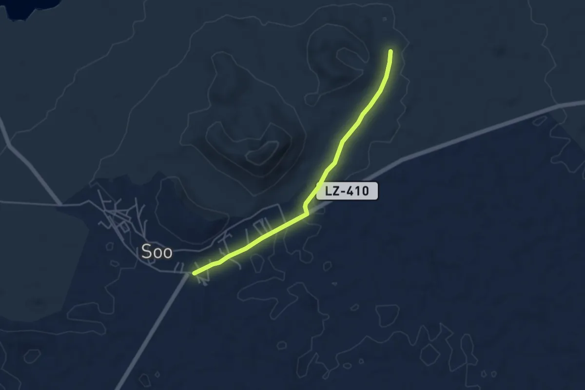
Easy · Trail
Tramo04 - Soo - Los Cañones
5.0 km · ↑ 33 m · 1 h 16 min · 12 km away
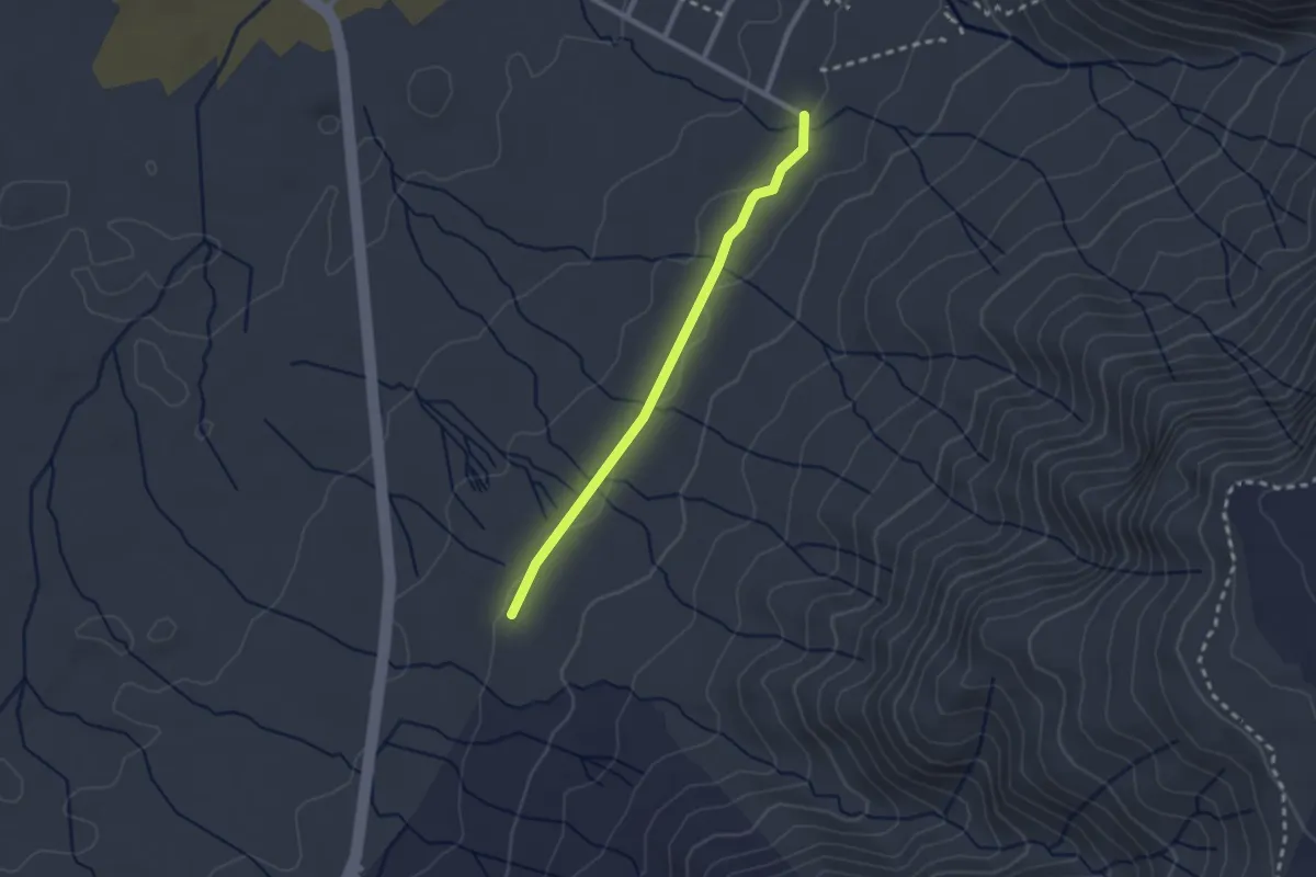
Easy · Trail
Tramo09 - Las Laderas - Urbanizacion de Famara
2.7 km · ↑ 29 m · 42 min · 13 km away
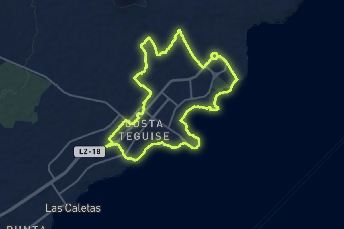
Medium · Trail
Paseo 3
11.4 km · ↑ 91 m · 3 h 2 min · 13 km away
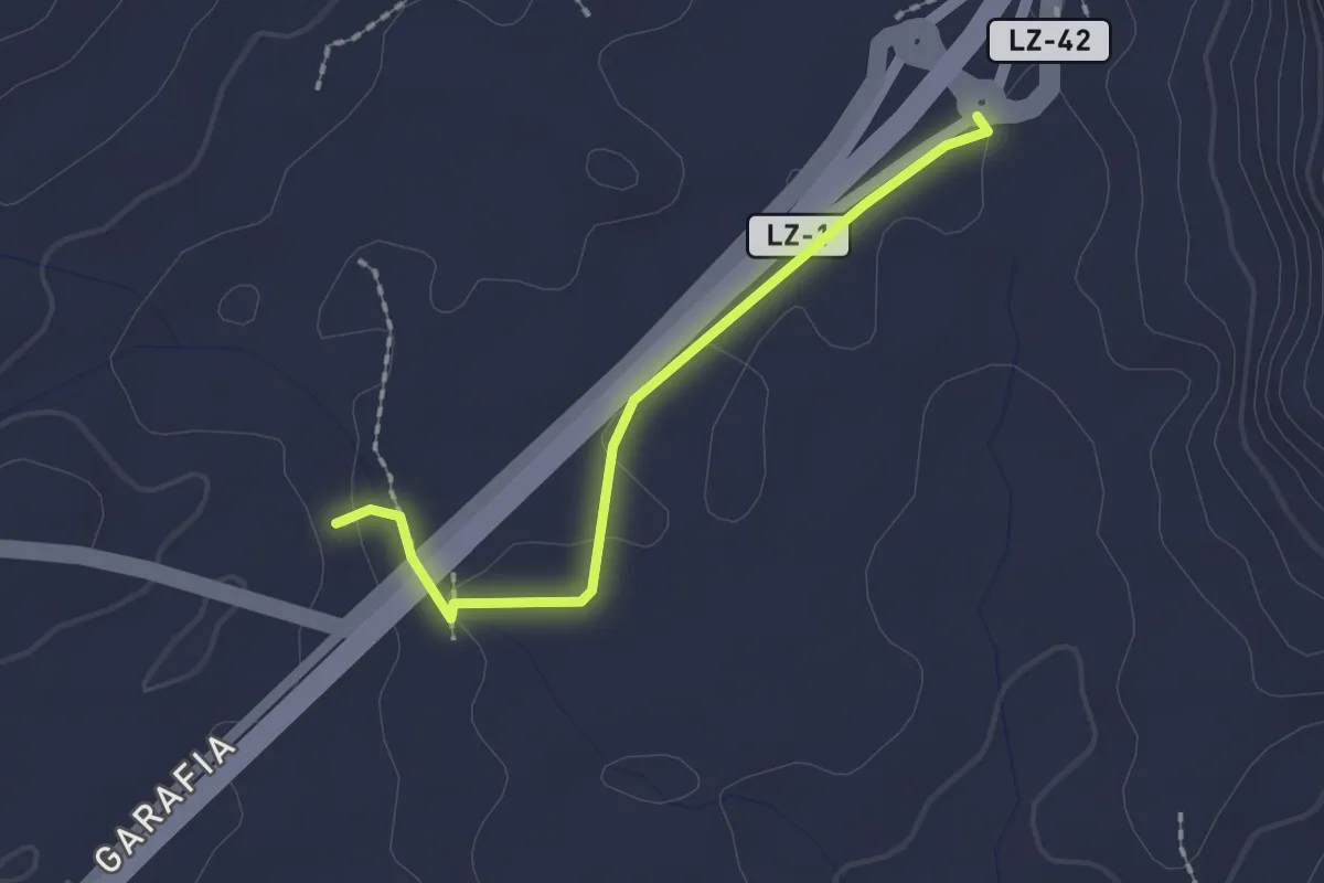
Easy · Trail
Tramo05 - Los Roferos - Los Cascajos Va
2.2 km · ↑ 17 m · 34 min · 13 km away
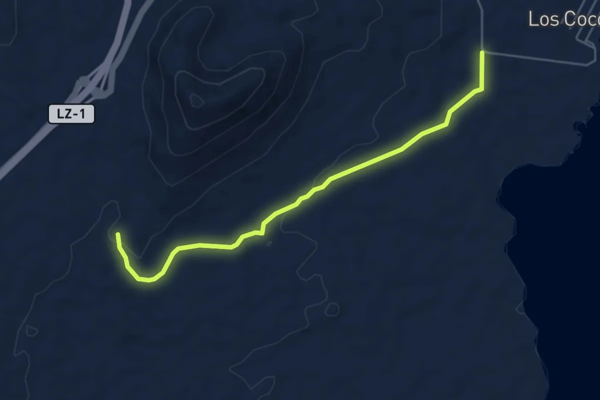
Easy · Trail
Tramo07 - Tinamala - Vegueta Del Espino
5.8 km · ↑ 81 m · 1 h 33 min · 13 km away
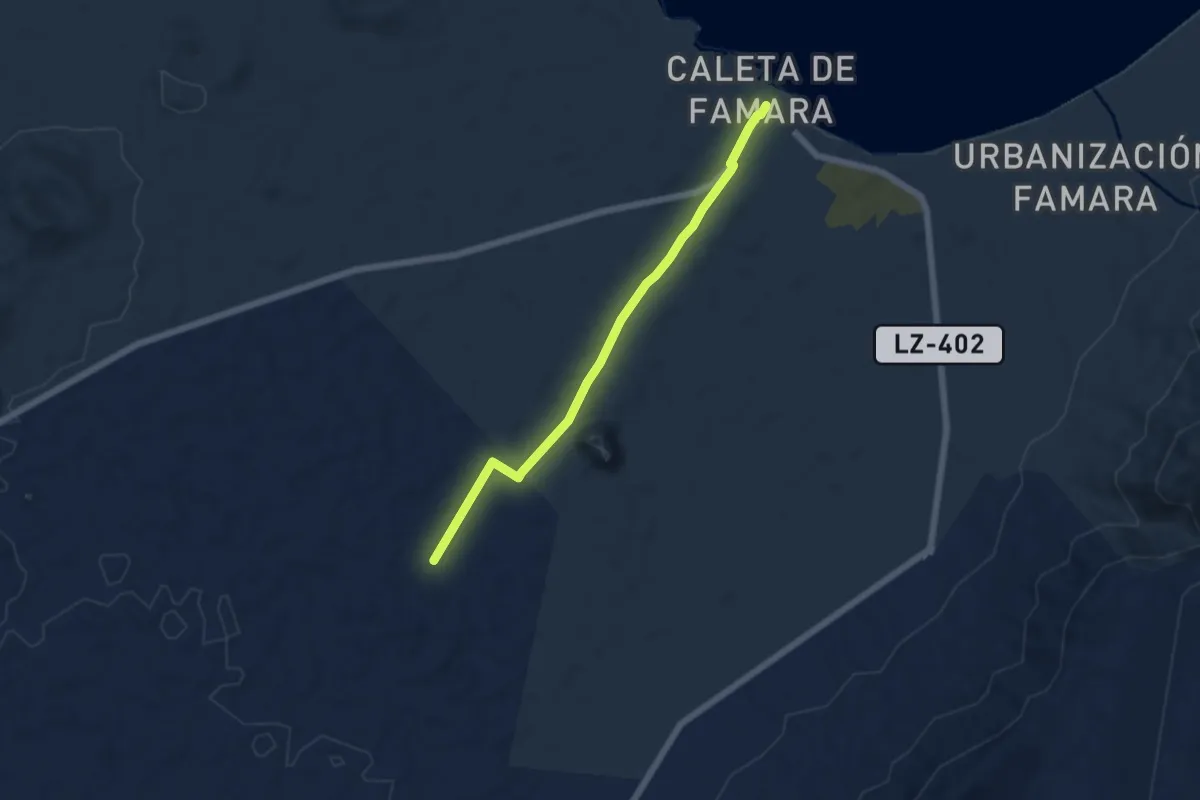
Easy · Trail
Tramo01 - Caleta de Famara - Acuche
6.7 km · ↑ 62 m · 1 h 43 min · 14 km away
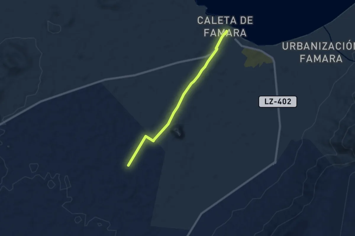
Easy · Trail
Tramo04 - Acuche (urb. Vista Graciosa) - Caleta de Famara
6.7 km · ↑ 62 m · 1 h 43 min · 14 km away
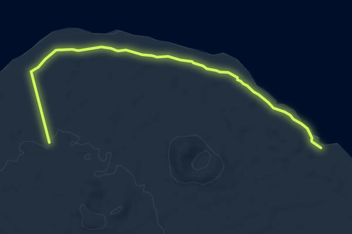
Medium · Trail
Tramo06 - Variante Bebbedero Del Espino - Playa de San Juan
8.4 km · ↑ 46 m · 2 h 5 min · 14 km away
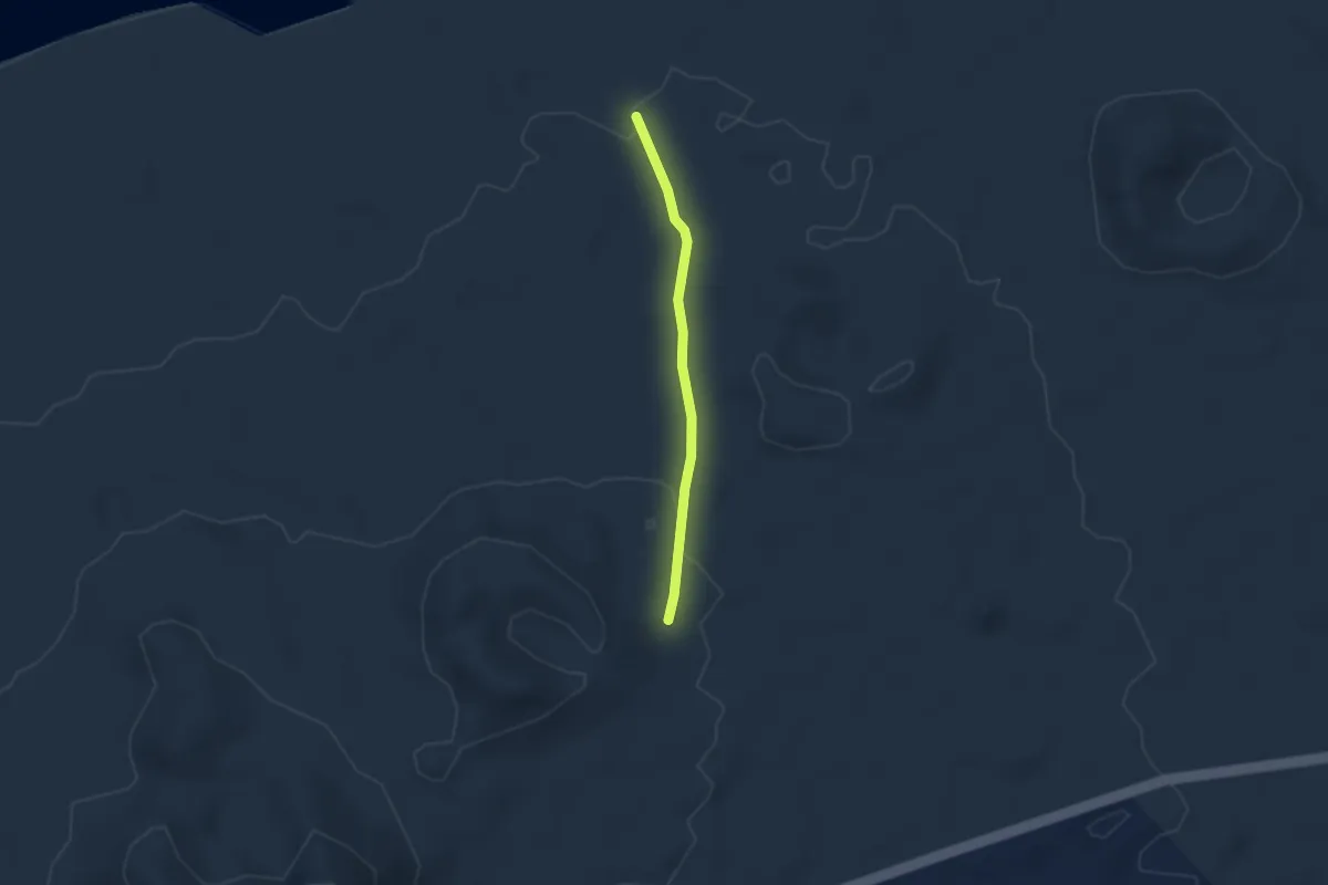
Easy · Trail
Tramo05 - La Peraza - Bebedero Del Espino
2.8 km · ↑ 55 m · 47 min · 14 km away
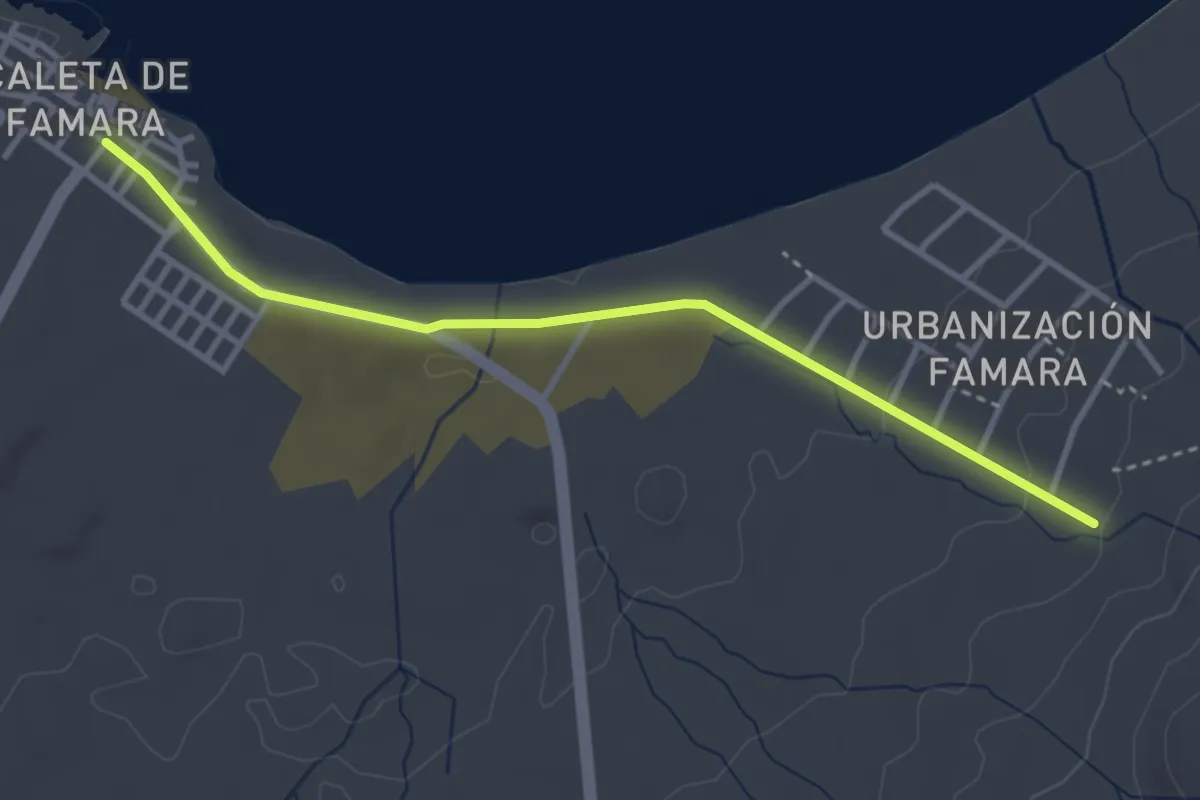
Easy · Trail
Tramo10 - Urbanizacion de Famara - Caleta de Famara
4.4 km · ↑ 44 m · 1 h 8 min · 14 km away
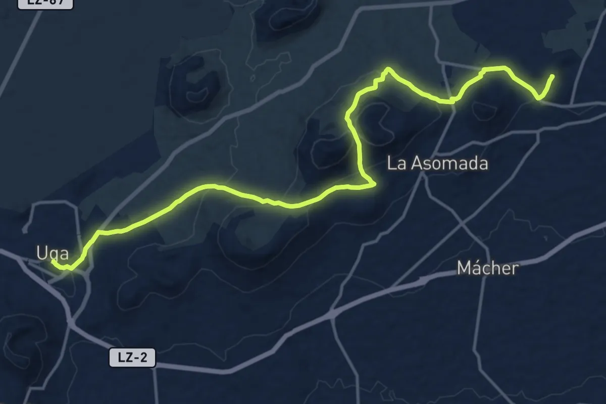
Demanding · Summit
La Geria
19.7 km · ↑ 712 m · 6 h 11 min · 14 km away
Easy · Trail
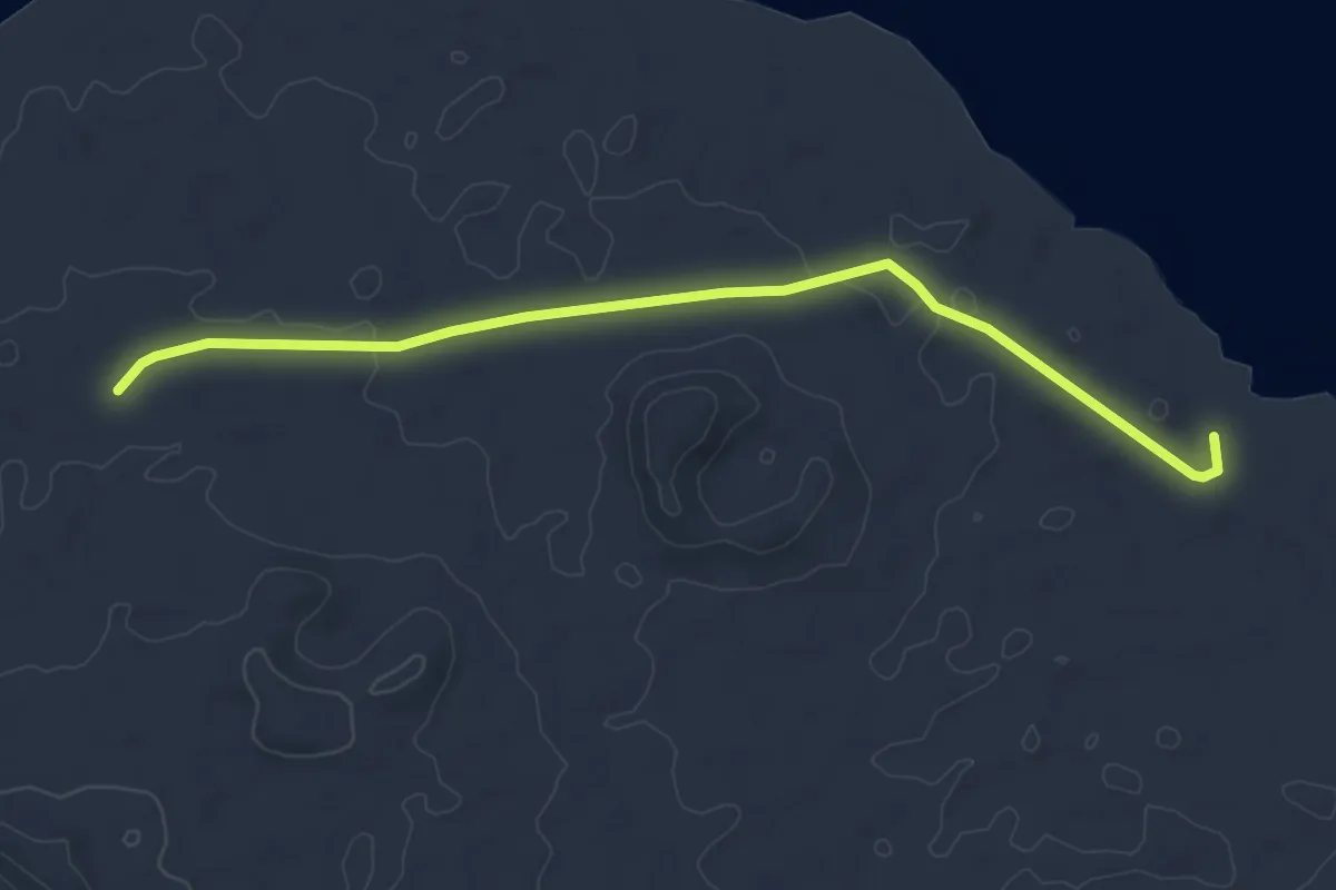
Tramo06 - Bebbedero Del Espino - Playa de San Juan
6.0 km · ↑ 40 m · 1 h 30 min · 14 km away
Easy · Trail
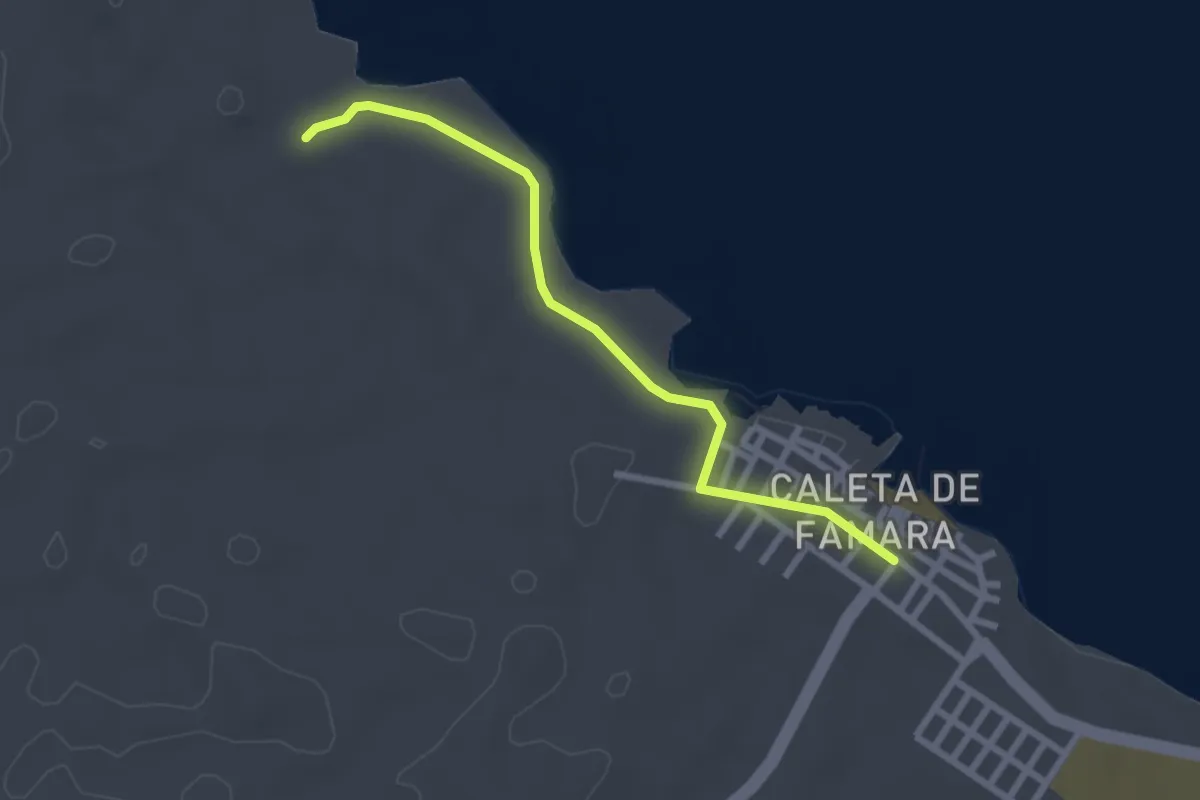
Tramo07 - Playa de San Juan - Caleta de Famara
3.1 km · ↑ 8 m · 46 min · 14 km away
Easy · Trail
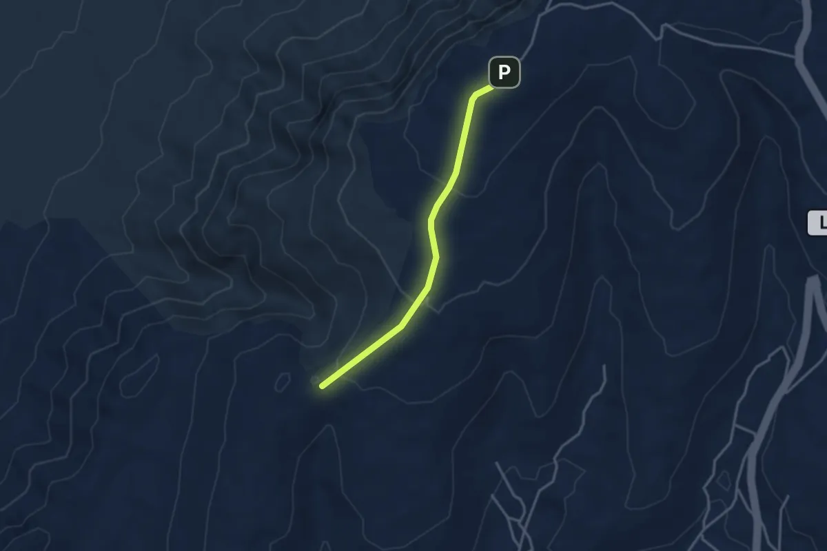
Tramo06 - Ermita de Las Nieves - Pico de Maramajo
3.7 km · ↑ 148 m · 1 h 12 min · 14 km away