Trails near Sant Feliu de Llobregat
46 hikes starting within 15 km, nearest first.
Nearest first
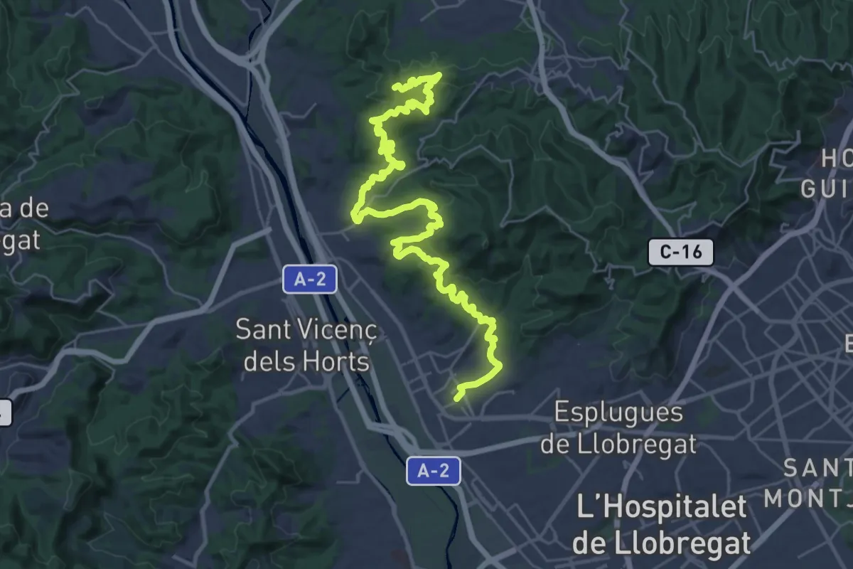
Demanding · Summit
Els dos castells. De Sant Feliu al Papiol per Molins de Rei
37.5 km · ↑ 1293 m · 11 h 40 min · under 1 km away
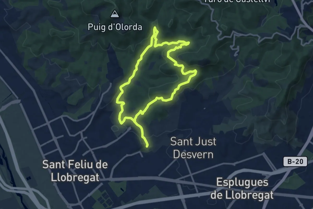
Medium · Summit
Del solell a l'obaga. Collserola
9.3 km · ↑ 308 m · 2 h 59 min · 2 km away
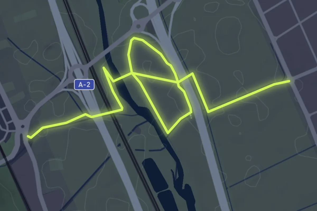
Easy · Trail
Accés al Parc Agrari i riu Llobregat
6.9 km · ↑ 26 m · 1 h 41 min · 2 km away
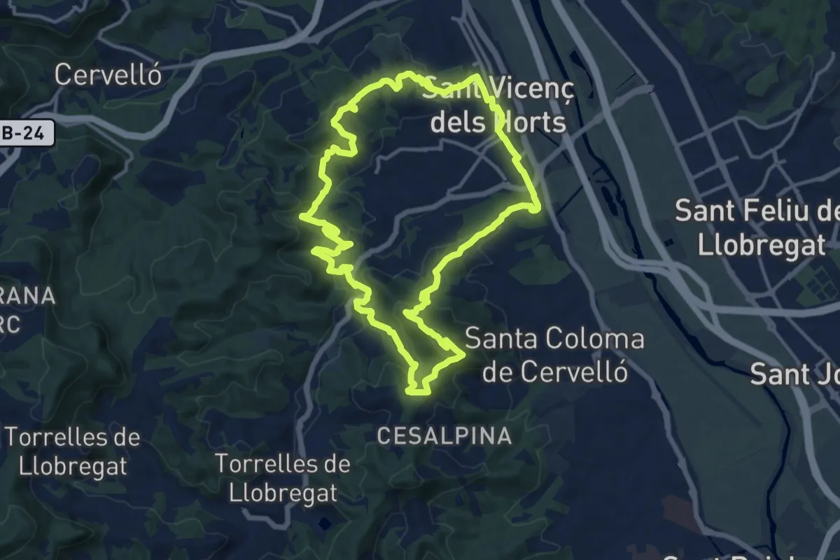
Medium · Summit
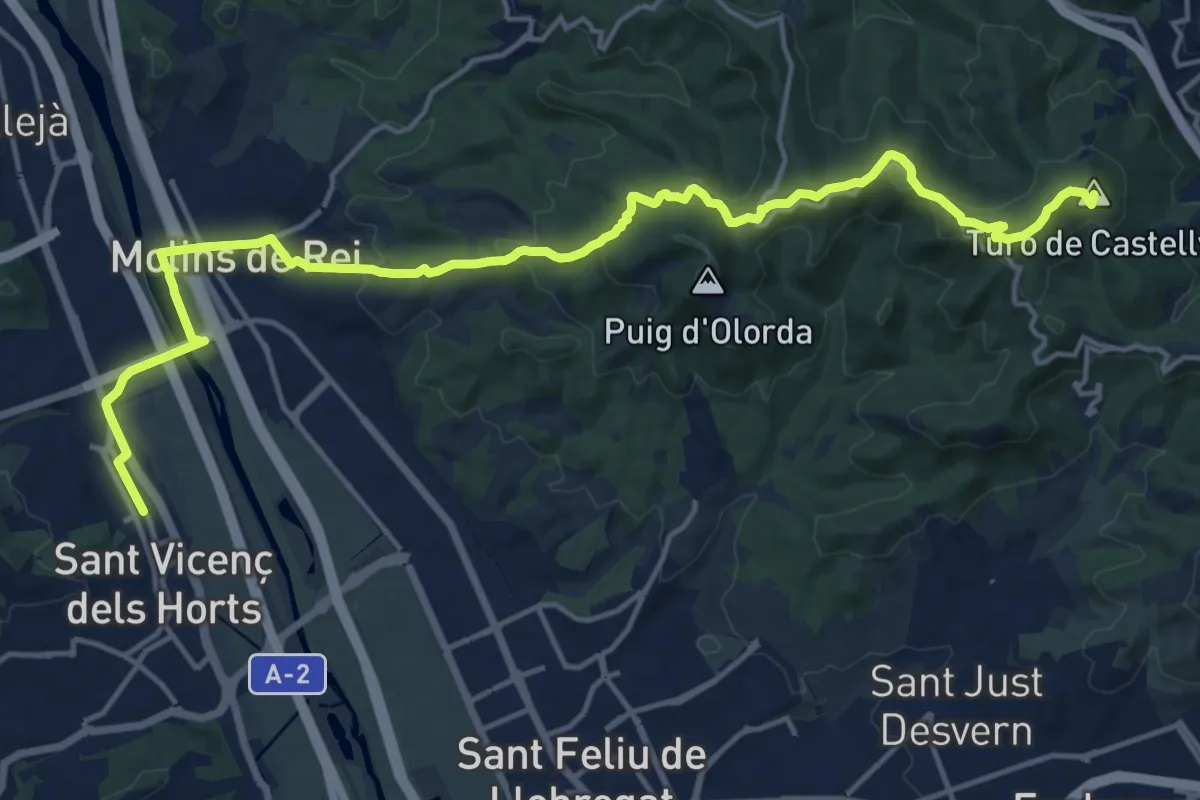
Ruta de la Torrassa
14.3 km · ↑ 659 m · 5 h · 3 km away
Demanding · Summit
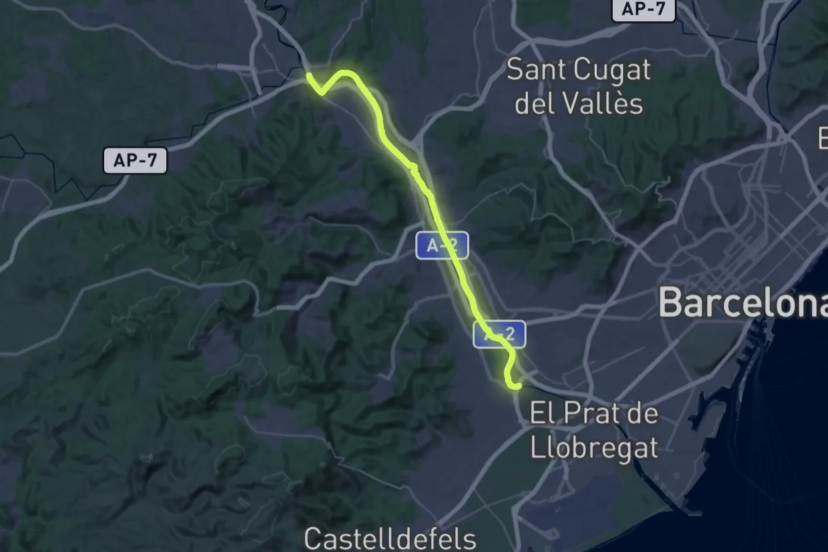
Catalunya E19
20.8 km · ↑ 567 m · 6 h 8 min · 4 km away
Demanding · Trail
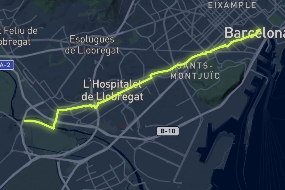
GR 270 Camí del Llobregat - Etapa 8
19.9 km · ↑ 89 m · 5 h 9 min · 4 km away
Demanding · Summit
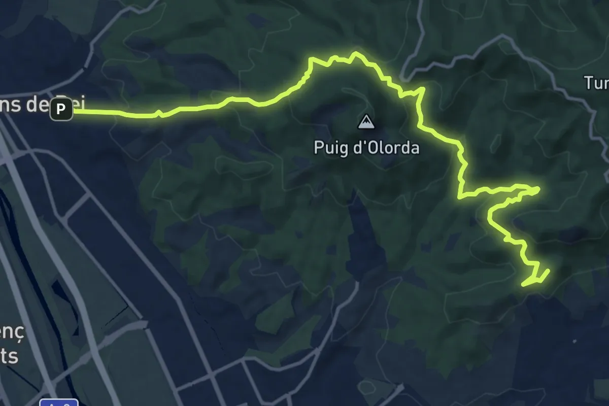
Senders del 1714 - Etapa 01
26.3 km · ↑ 102 m · 6 h 26 min · 4 km away
Medium · Summit
Sant Just Desvern.Molins de Rei per SantaCreu d'Olorda
16.4 km · ↑ 689 m · 5 h 23 min · 4 km away
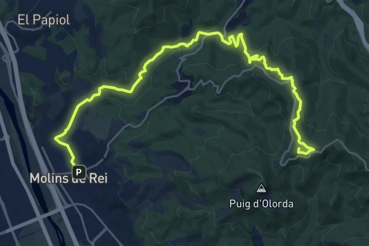
Demanding · Summit
Sant Feliu de Llobregat a Molins de Rei
18.6 km · ↑ 467 m · 5 h 24 min · 4 km away
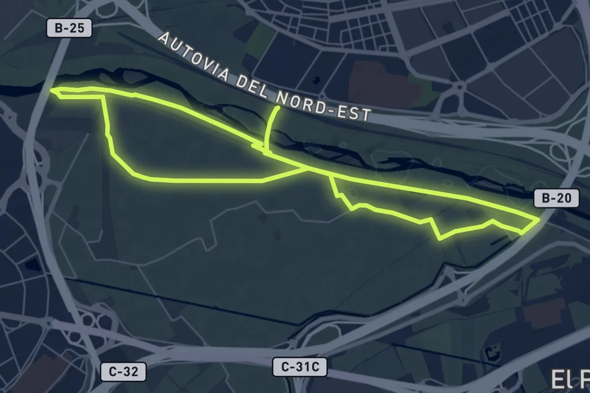
Easy · Trail
Agricultura al Delta del Llobregat
7.5 km · ↑ 22 m · 1 h 56 min · 5 km away
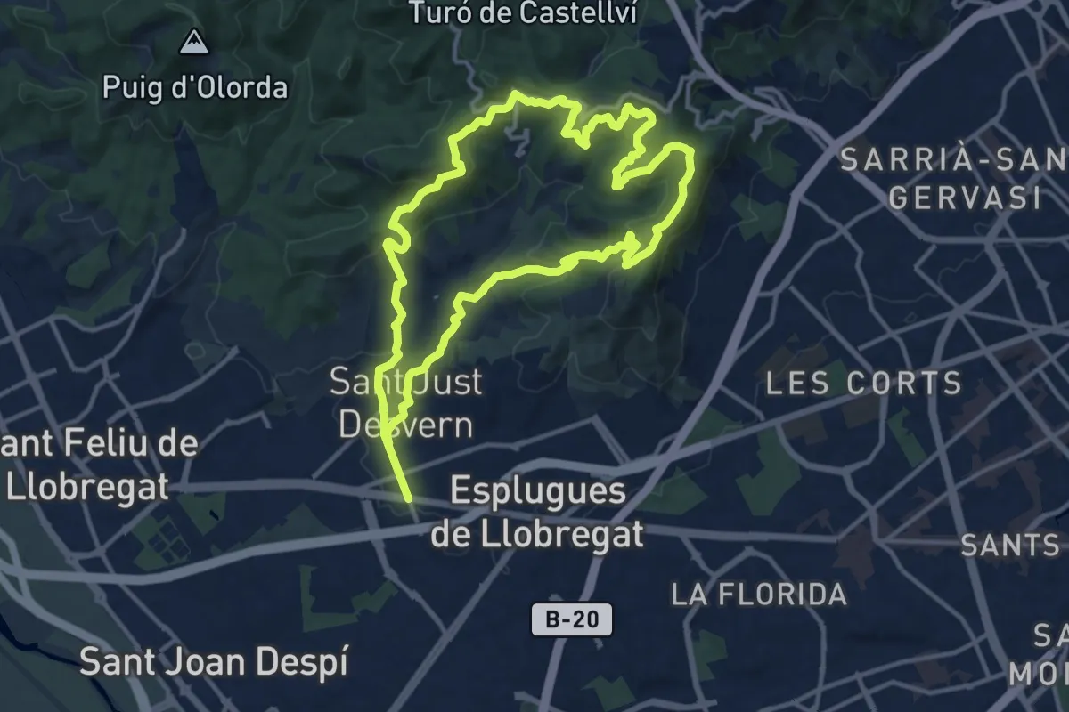
Medium · Summit
Collserola des de Sant Just
13.5 km · ↑ 577 m · 4 h 37 min · 5 km away
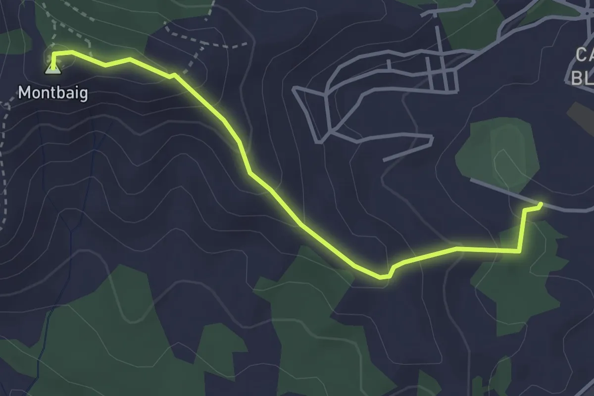
Easy · Summit
Itinerari el Cordal de Sant Ramon
3.6 km · ↑ 221 m · 1 h 20 min · 5 km away
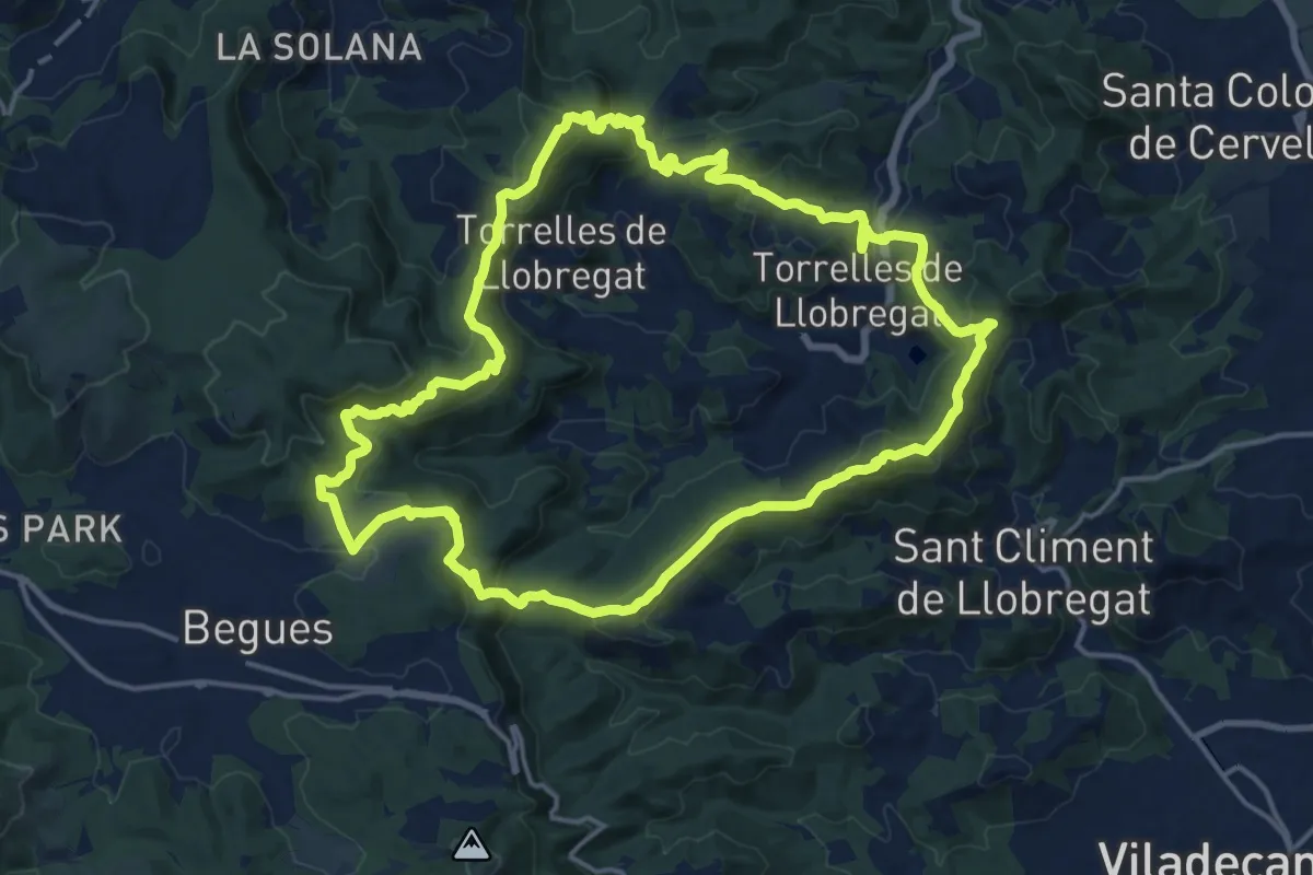
Demanding · Summit
Ruta del Sol Blau
18.3 km · ↑ 735 m · 6 h 10 min · 6 km away
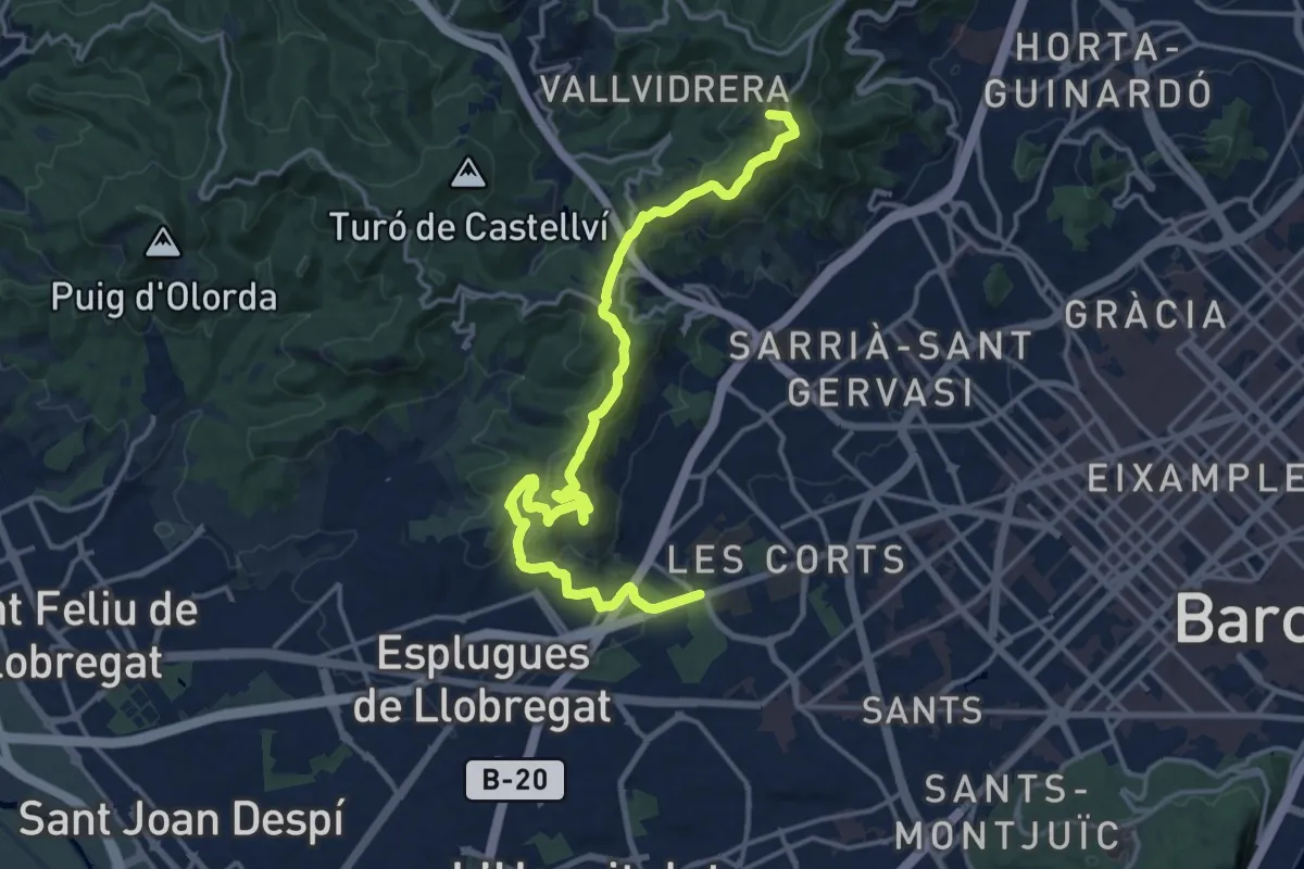
Demanding · Summit
PR-C 171 Barcelona (Parc de Cervantes) - Barcelona (Trinitat Nova)
19.3 km · ↑ 749 m · 6 h 11 min · 6 km away
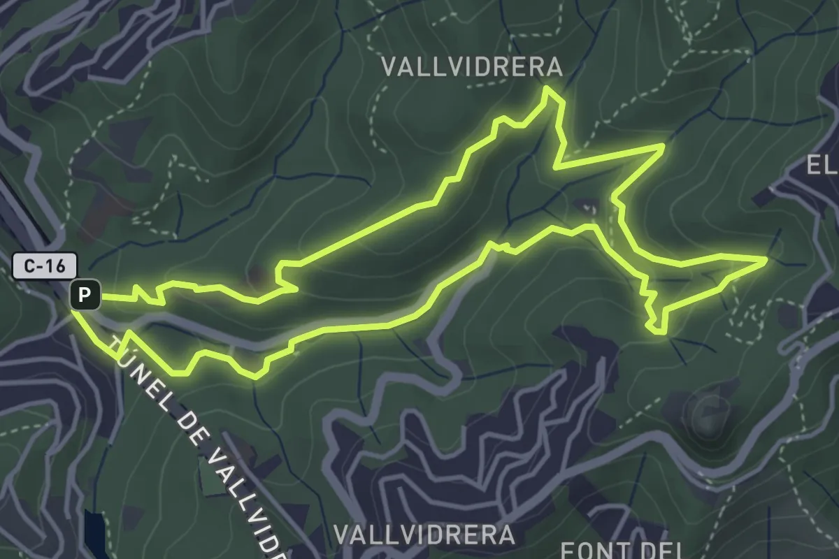
Easy · Summit
Passejada per la font de la Budellera
4.8 km · ↑ 227 m · 1 h 41 min · 6 km away
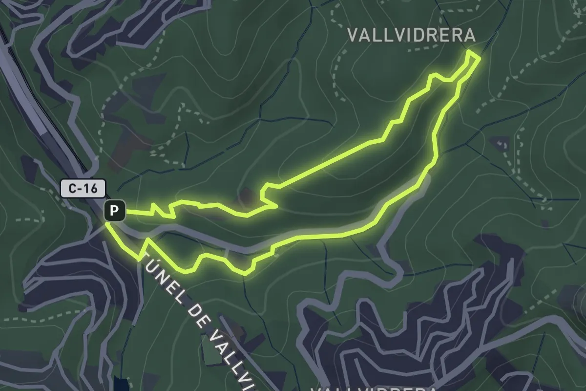
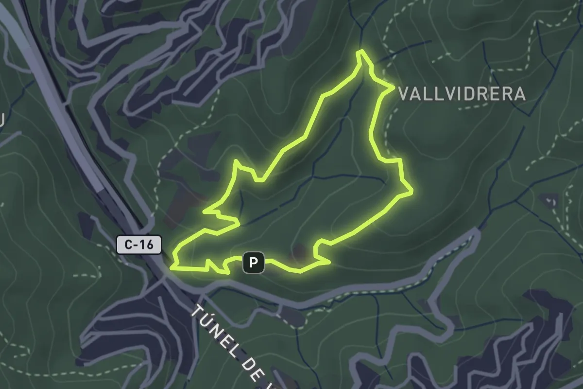
Easy · Summit
Passejada pel fondal
3.2 km · ↑ 115 m · 1 h 3 min · 6 km away
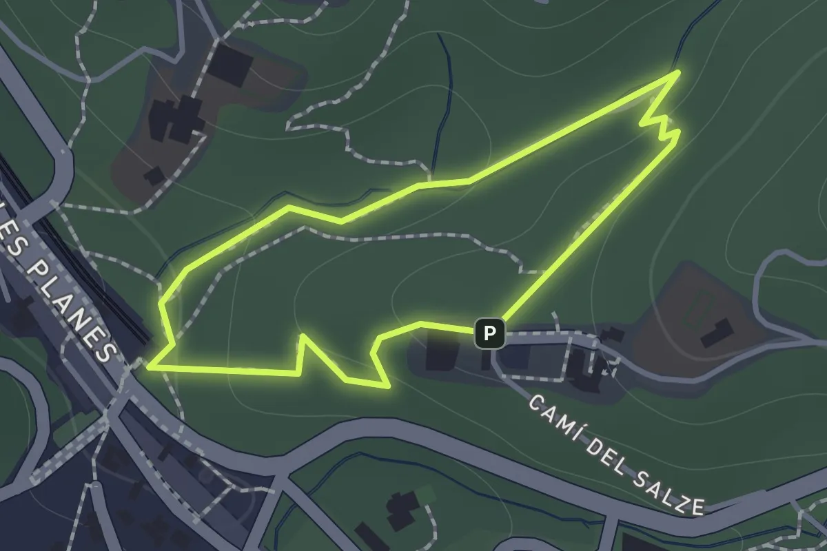
Easy · Summit
Passejada per l'alzinar
2.8 km · ↑ 105 m · 55 min · 6 km away
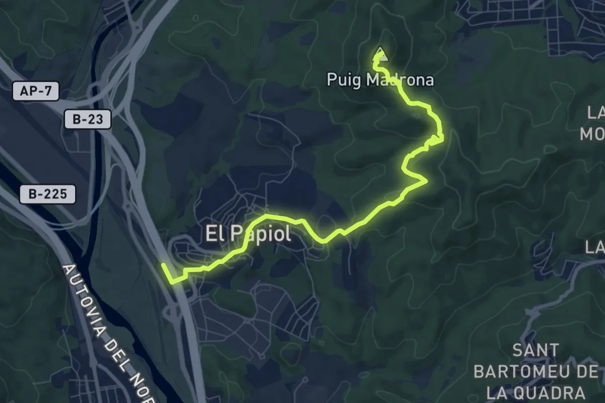
Easy · Trail
Passejada per les fonts
1.1 km · ↑ 26 m · 20 min · 6 km away
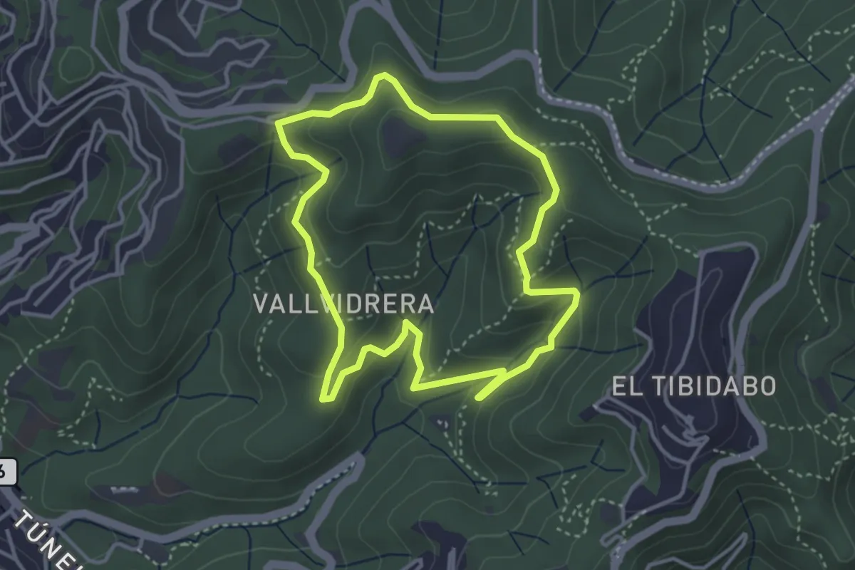
Medium · Summit
Del Baix Llobregat al Vallès, pel Puig Madrona
9.5 km · ↑ 391 m · 3 h 6 min · 7 km away
Easy · Summit
Passejada per la serra d'en Cardona
3.7 km · ↑ 162 m · 1 h 16 min · 8 km away
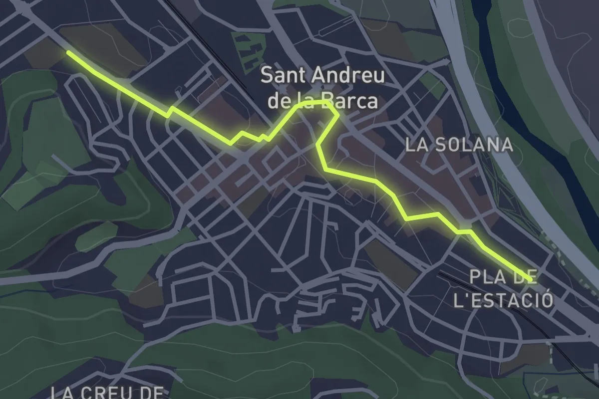
Easy · Trail
Festival d'art urbà KROMATIC
3.6 km · ↑ 23 m · 54 min · 9 km away
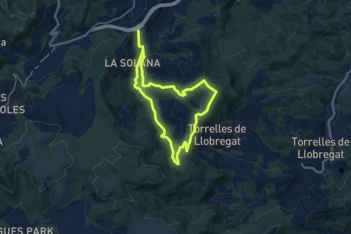
Medium · Summit
Sender de Vallirana
9.7 km · ↑ 399 m · 3 h 17 min · 9 km away
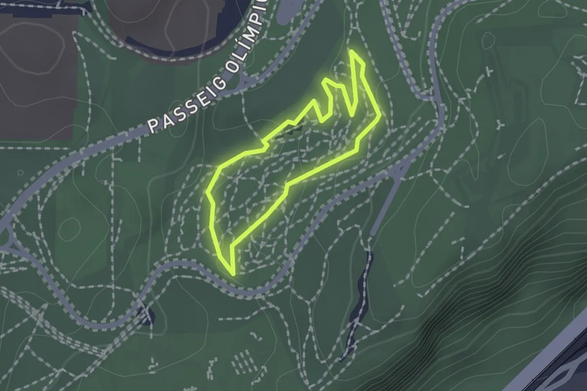
Easy · Trail
Central
1.3 km · ↑ 27 m · 23 min · 10 km away
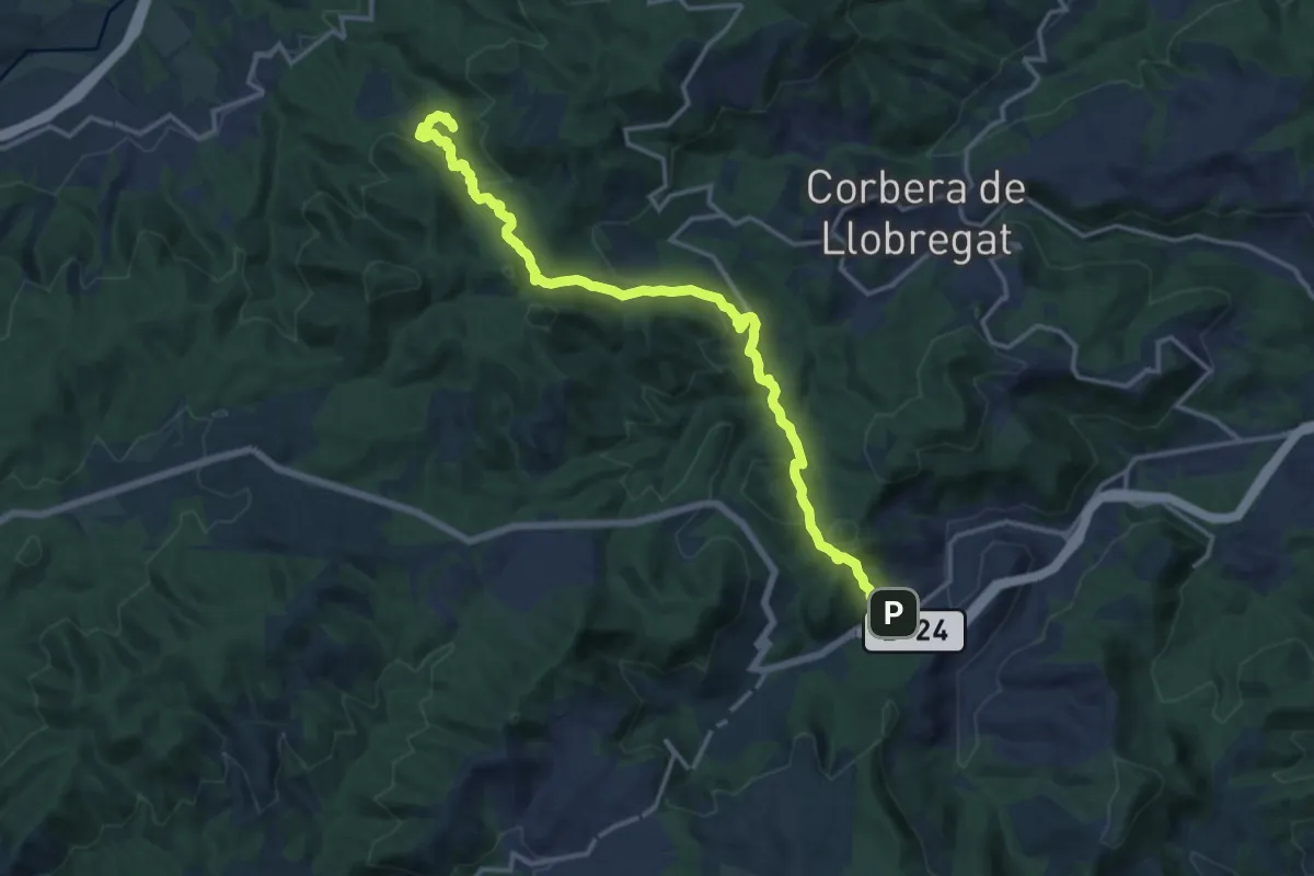
Demanding · Trail
Sender de la Font Freda
17.7 km · ↑ 848 m · 6 h 1 min · 10 km away
Medium · Summit
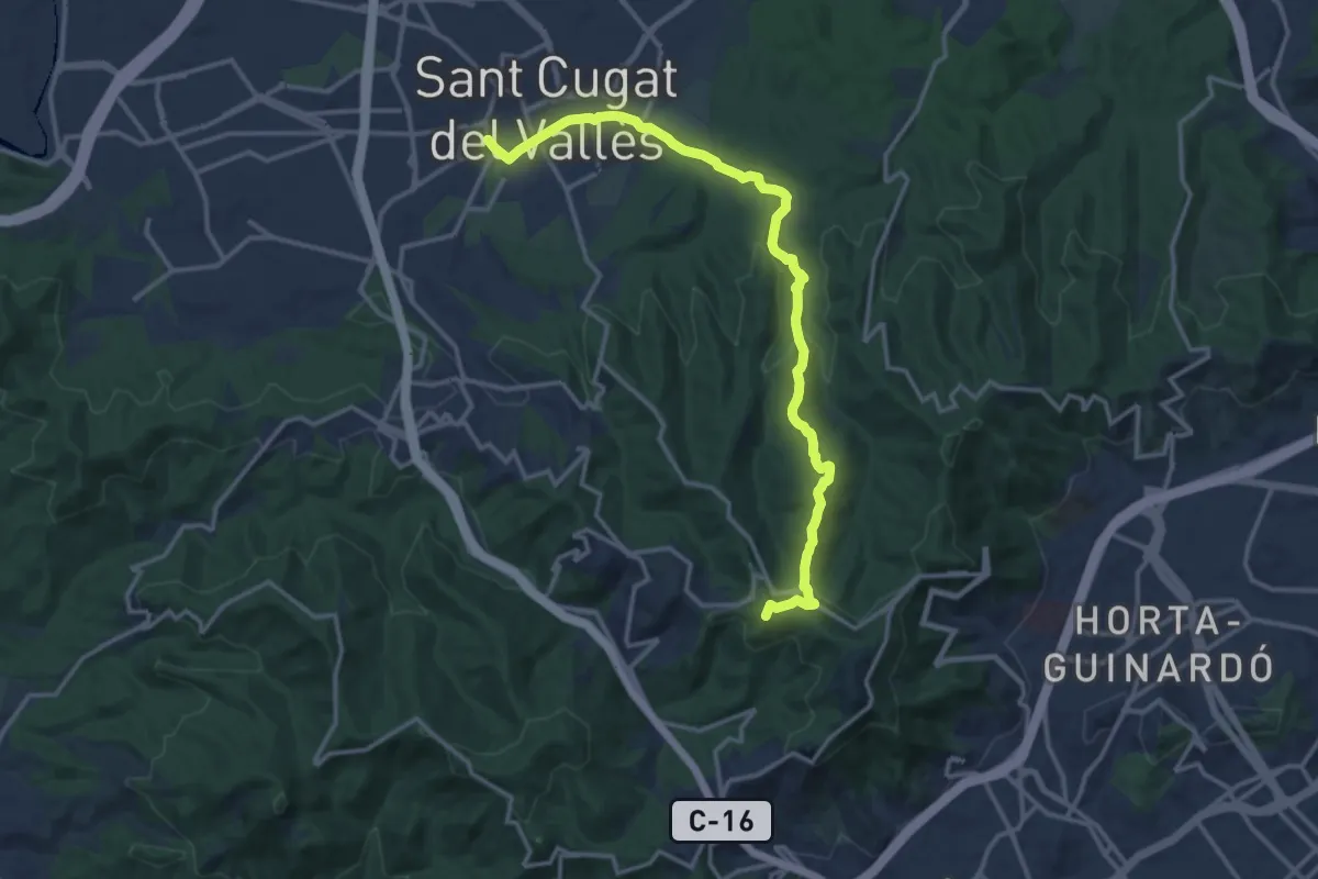
L'Obaga de Collserola
16.6 km · ↑ 435 m · 4 h 52 min · 10 km away
Medium · Summit
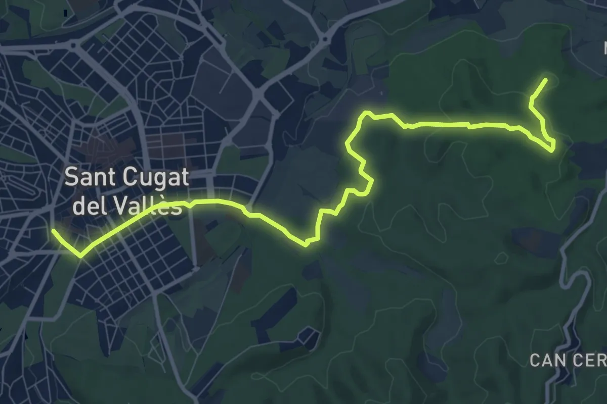
Sant Cugat-Cerdanyola per les rieres
11.5 km · ↑ 194 m · 3 h 8 min · 10 km away
Demanding · Summit
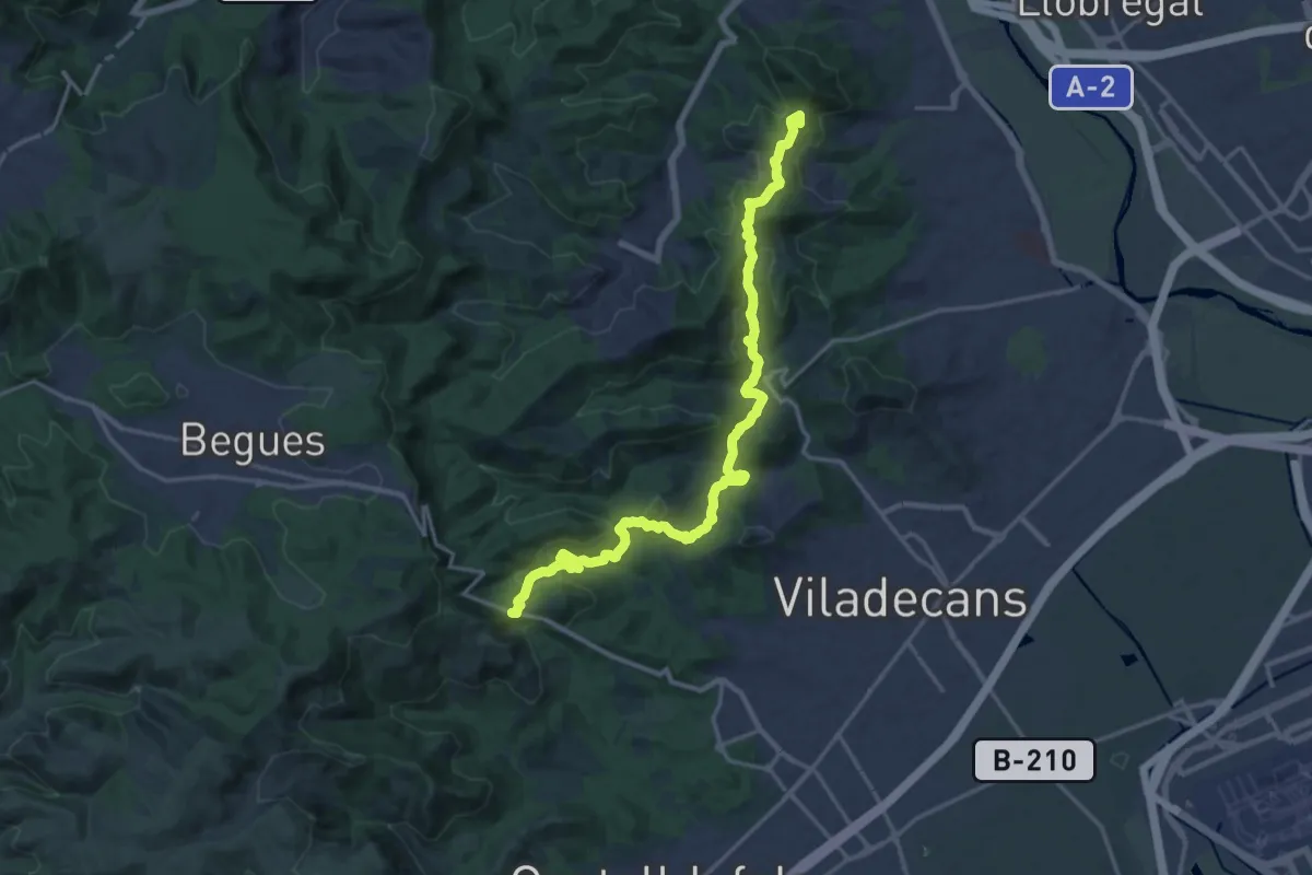
Catalunya E20
20.4 km · ↑ 769 m · 6 h 29 min · 10 km away
Medium · Summit
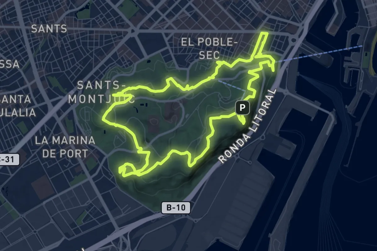
Montjuïc 360
11.2 km · ↑ 311 m · 3 h 29 min · 10 km away
Demanding · Summit
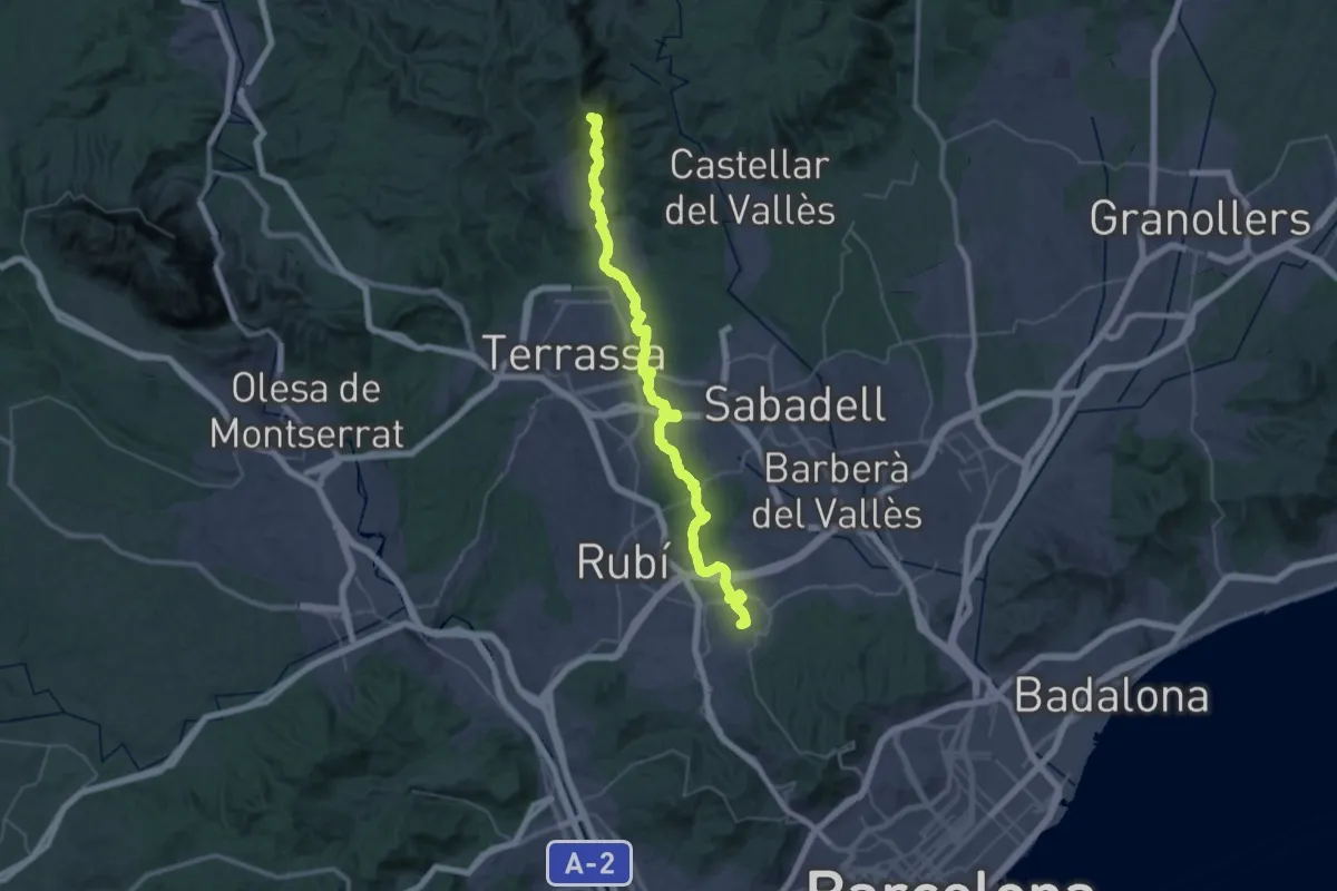
Camí dels Monjos
53.3 km · ↑ 1324 m · 15 h 27 min · 11 km away
Demanding · Summit
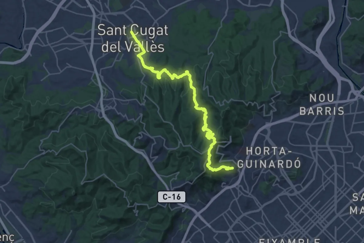
Itinerari al Coll-s'Erola
26.3 km · ↑ 890 m · 8 h 8 min · 11 km away
Medium · Trail
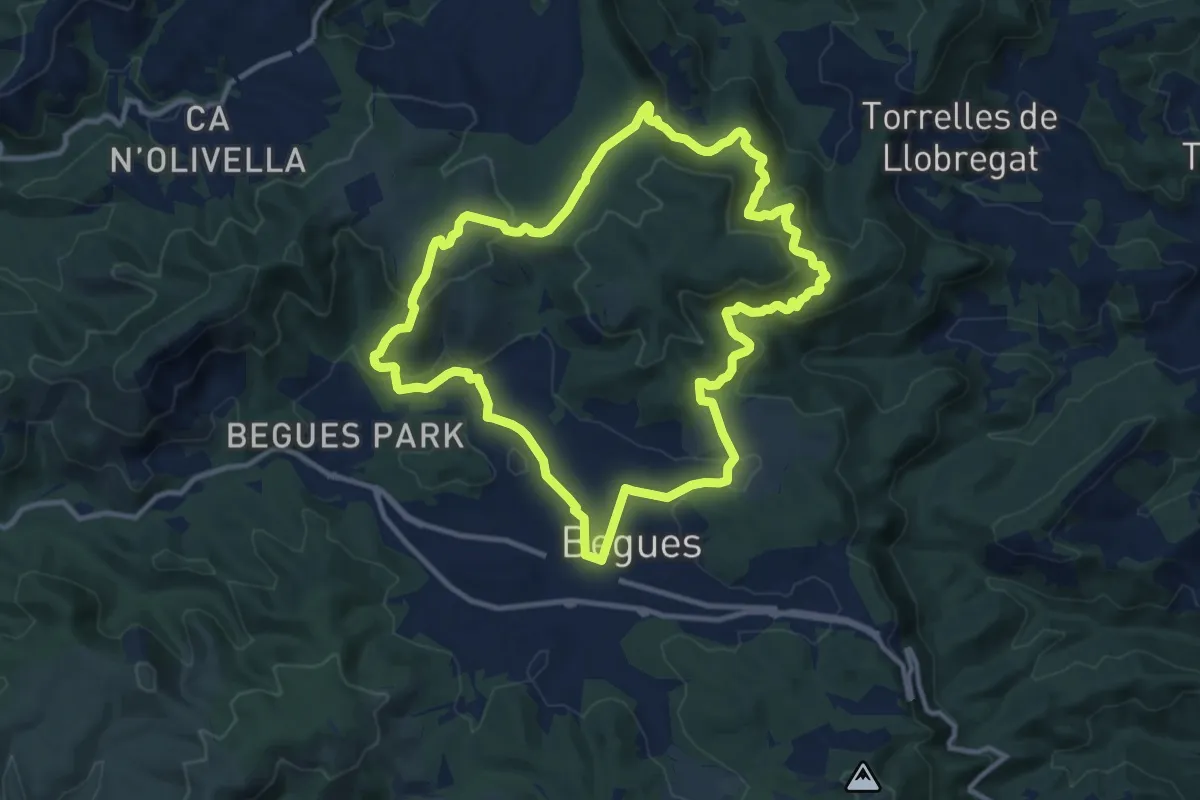
Ruta de les Fonts
12.7 km · ↑ 368 m · 3 h 58 min · 11 km away
Easy · Summit
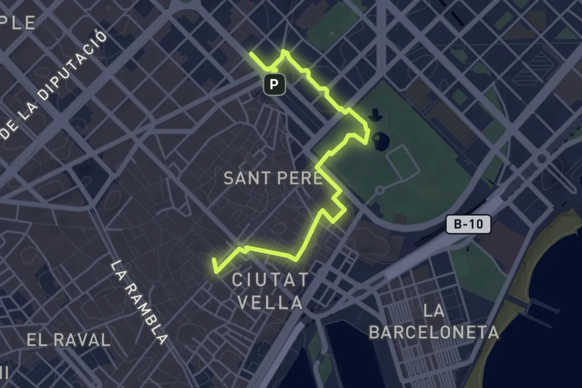
Ruta del Modernisme
5.5 km · ↑ 42 m · 1 h 24 min · 11 km away
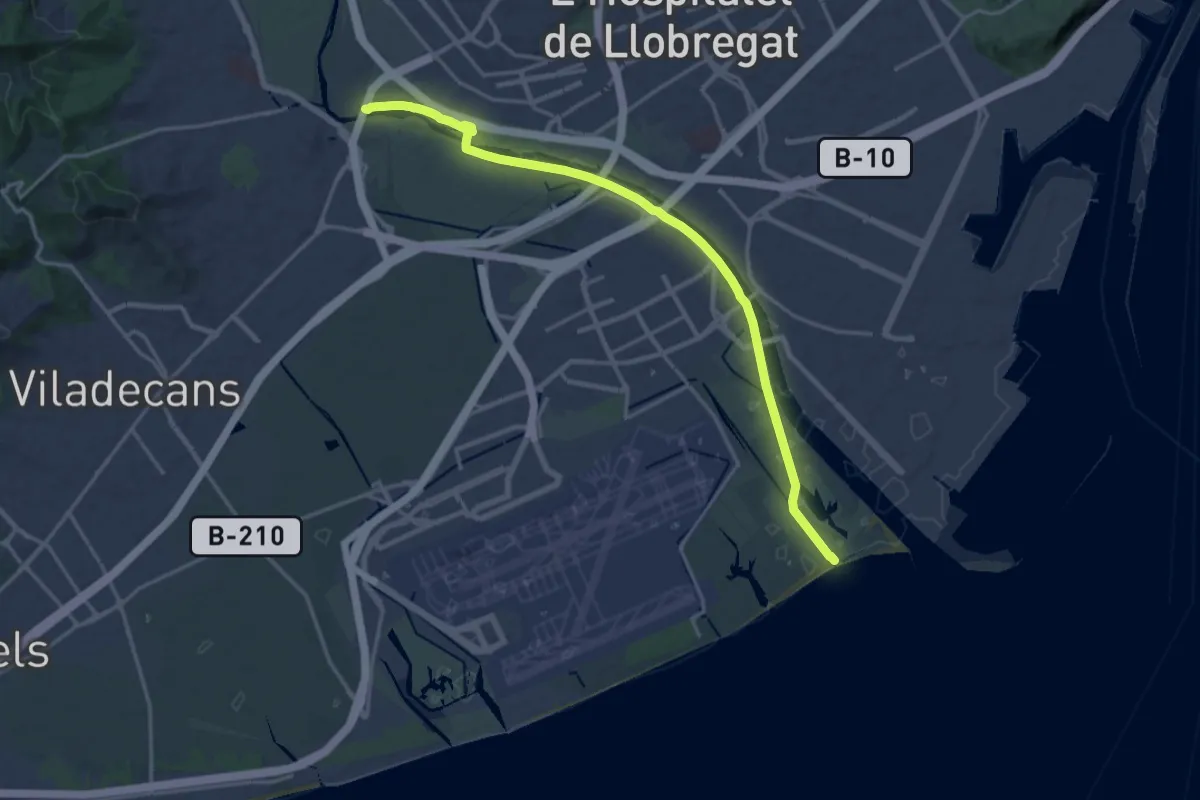
Demanding · Trail
GR 270 Camí del Llobregat - Etapa 9
19.7 km · ↑ 48 m · 4 h 45 min · 12 km away
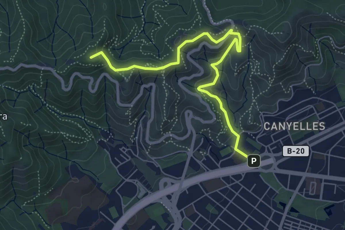
Easy · Summit
Vallès Natural. Variant Can Canaletes - Barcelona
6.6 km · ↑ 320 m · 2 h 15 min · 12 km away
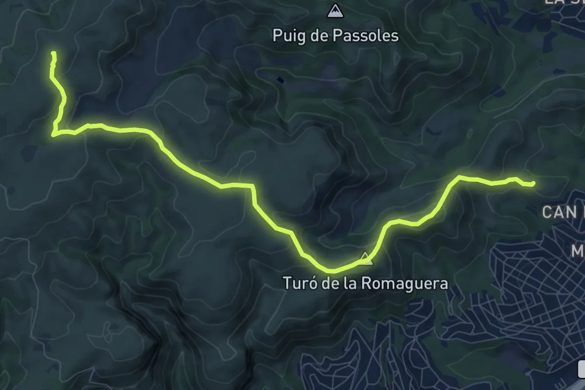
Medium · Summit
De Cal Ganxo a la Morella
11.8 km · ↑ 592 m · 4 h 4 min · 12 km away
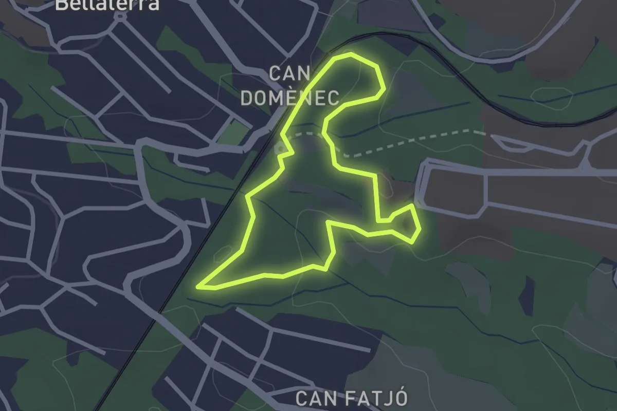
Easy · Trail
Ruta blau cel
2.2 km · ↑ 53 m · 41 min · 14 km away
Easy · Trail
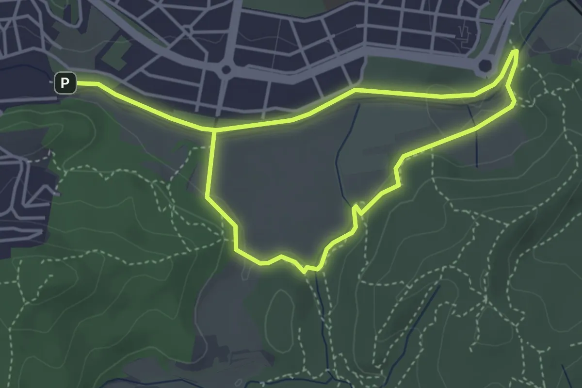
Circuit inclusiu de Cerdanyola del Vallès
3.6 km · ↑ 30 m · 58 min · 14 km away
Demanding · Trail
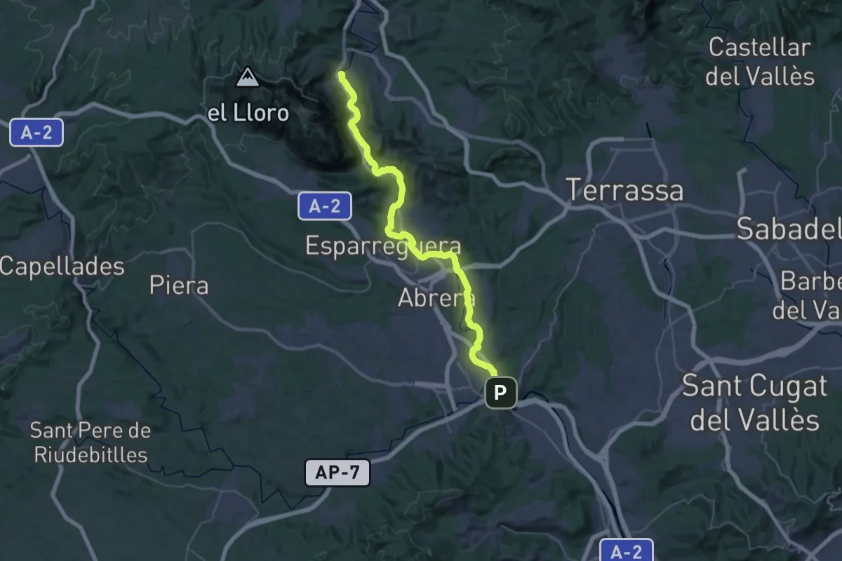
GR 270 Camí del Llobregat - Etapa 7
22.8 km · ↑ 447 m · 6 h 38 min · 14 km away
Medium · Summit
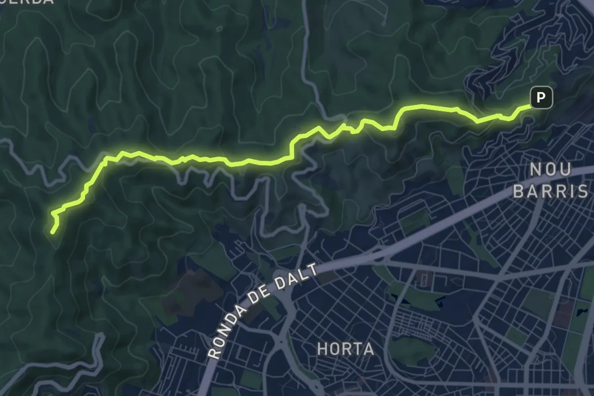
Barcelona als peus - de Torre Baró al Tibidabo
10.6 km · ↑ 396 m · 3 h 22 min · 14 km away
Easy · Trail
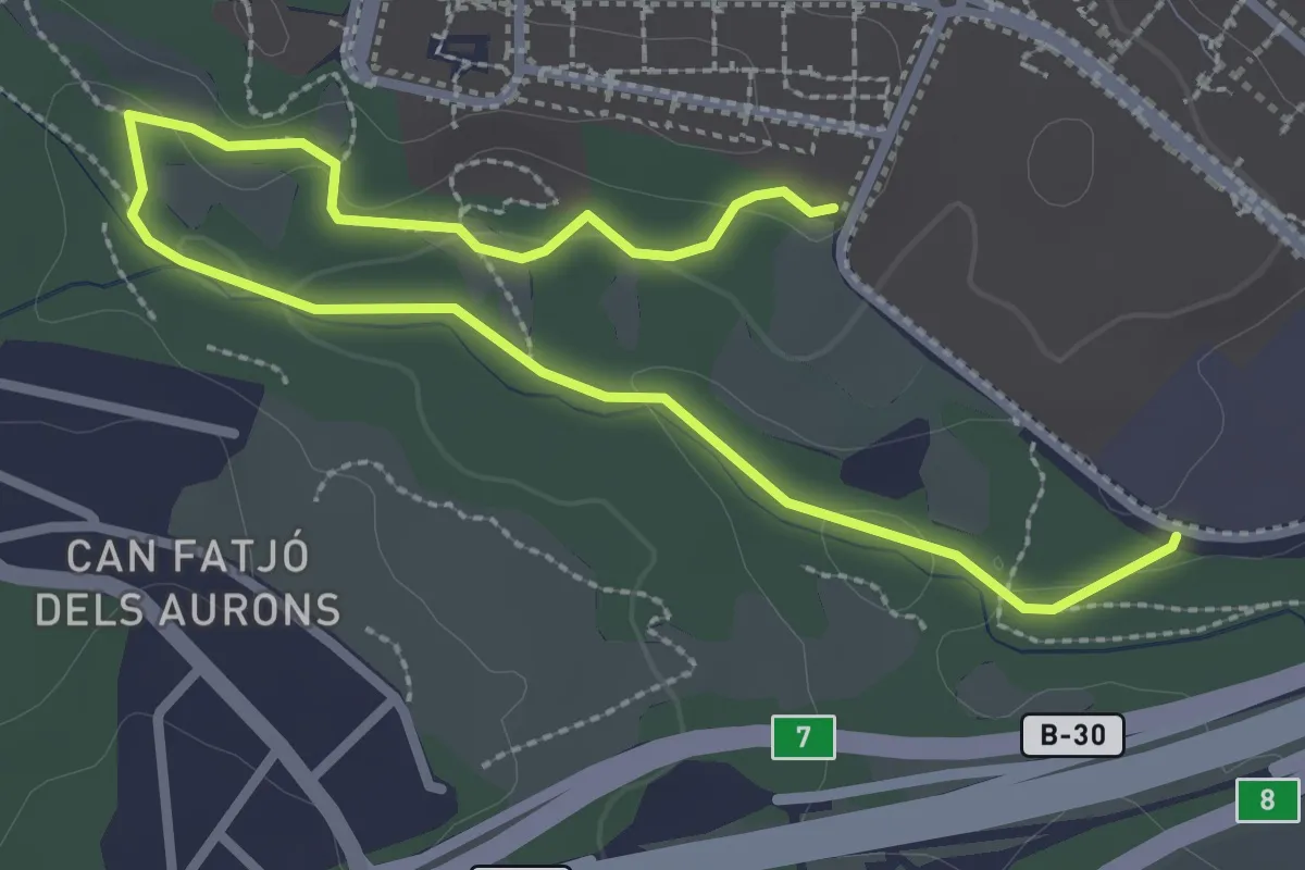
Ruta vermella
4.2 km · ↑ 55 m · 1 h 7 min · 14 km away
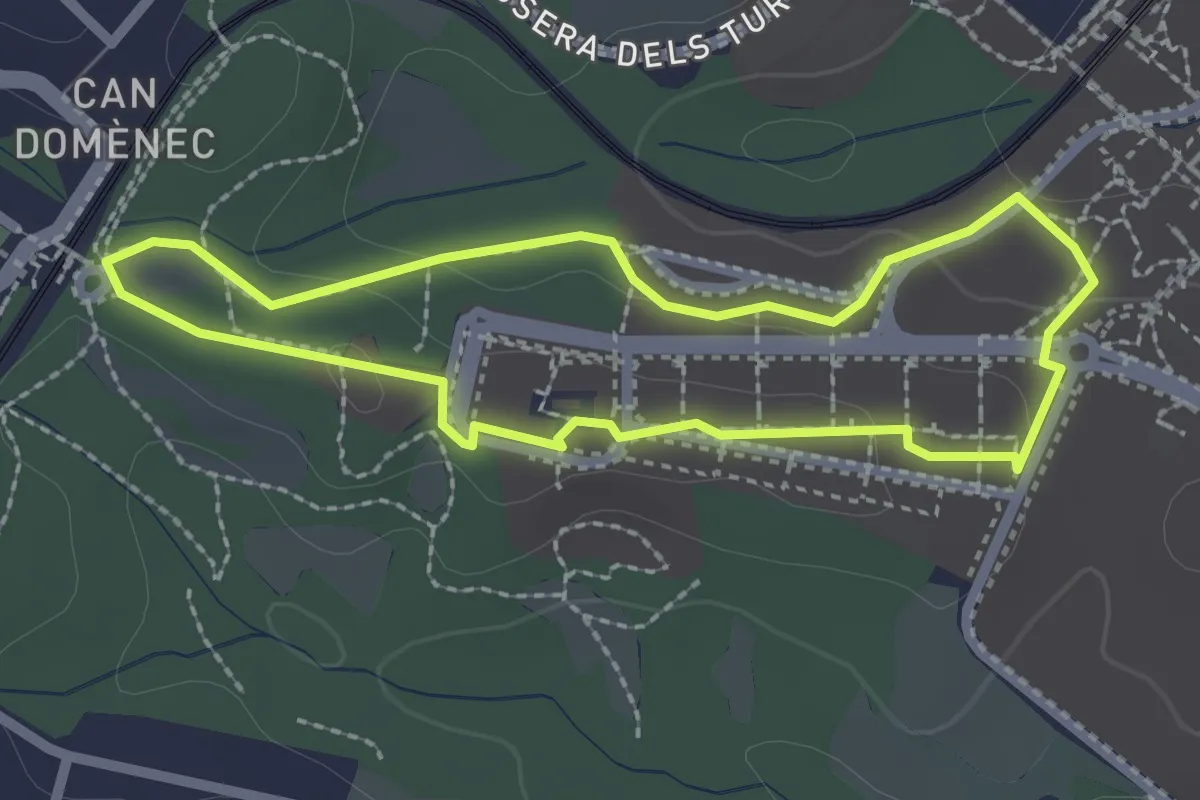
Easy · Trail
Ruta carabassa
2.3 km · ↑ 25 m · 38 min · 14 km away
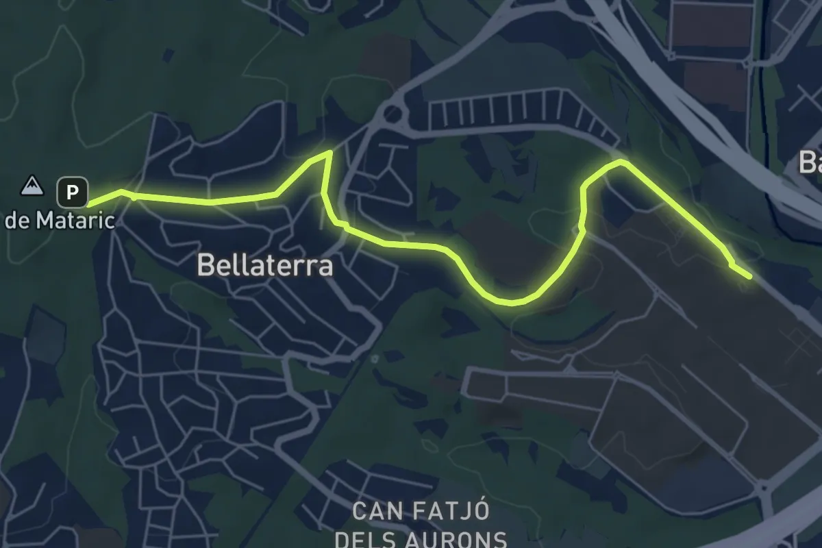
Easy · Trail
Sender del Vallès Natural. Variant Universitat Autònoma
7.2 km · ↑ 158 m · 2 h 2 min · 14 km away
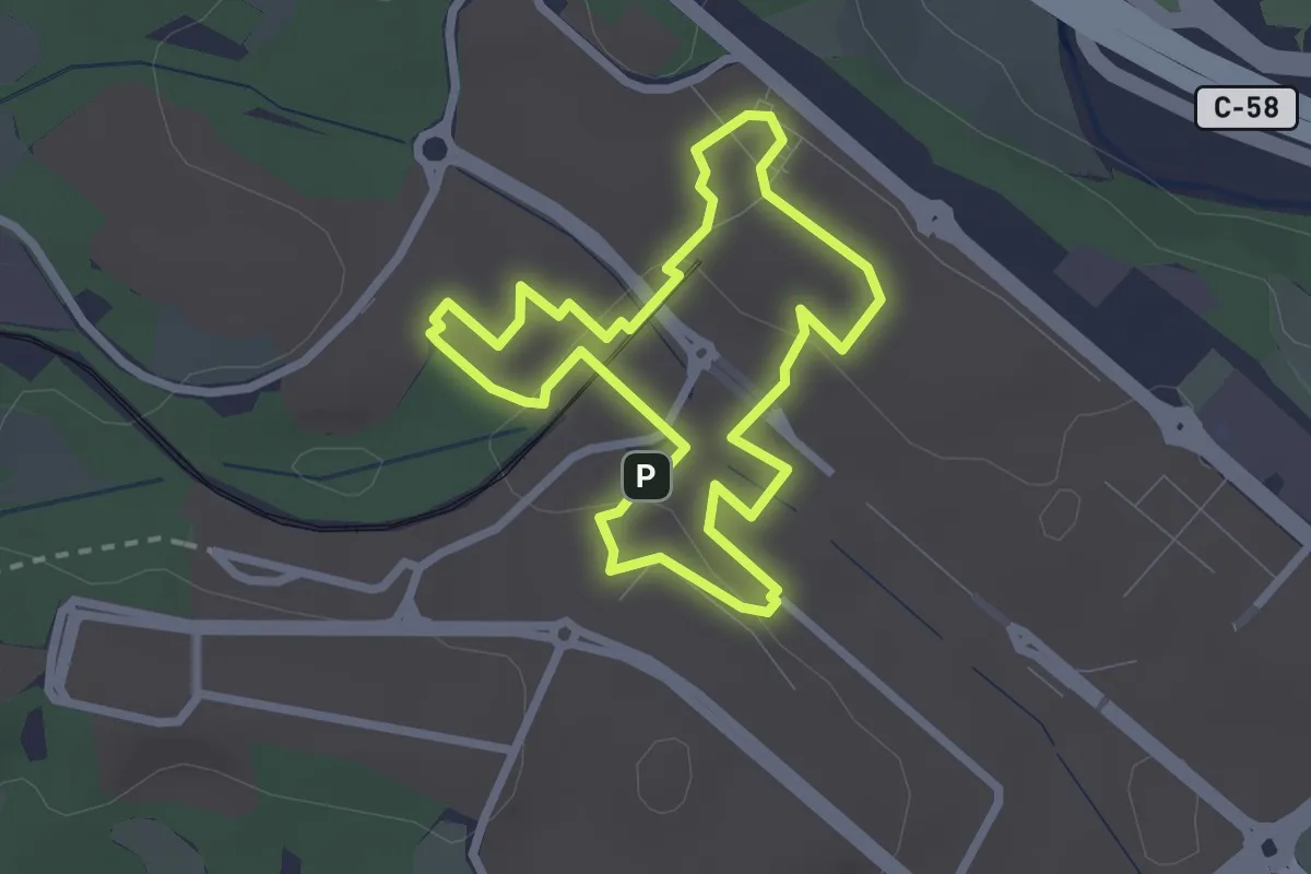
Easy · Trail
Ruta magenta
2.6 km · ↑ 36 m · 44 min · 14 km away
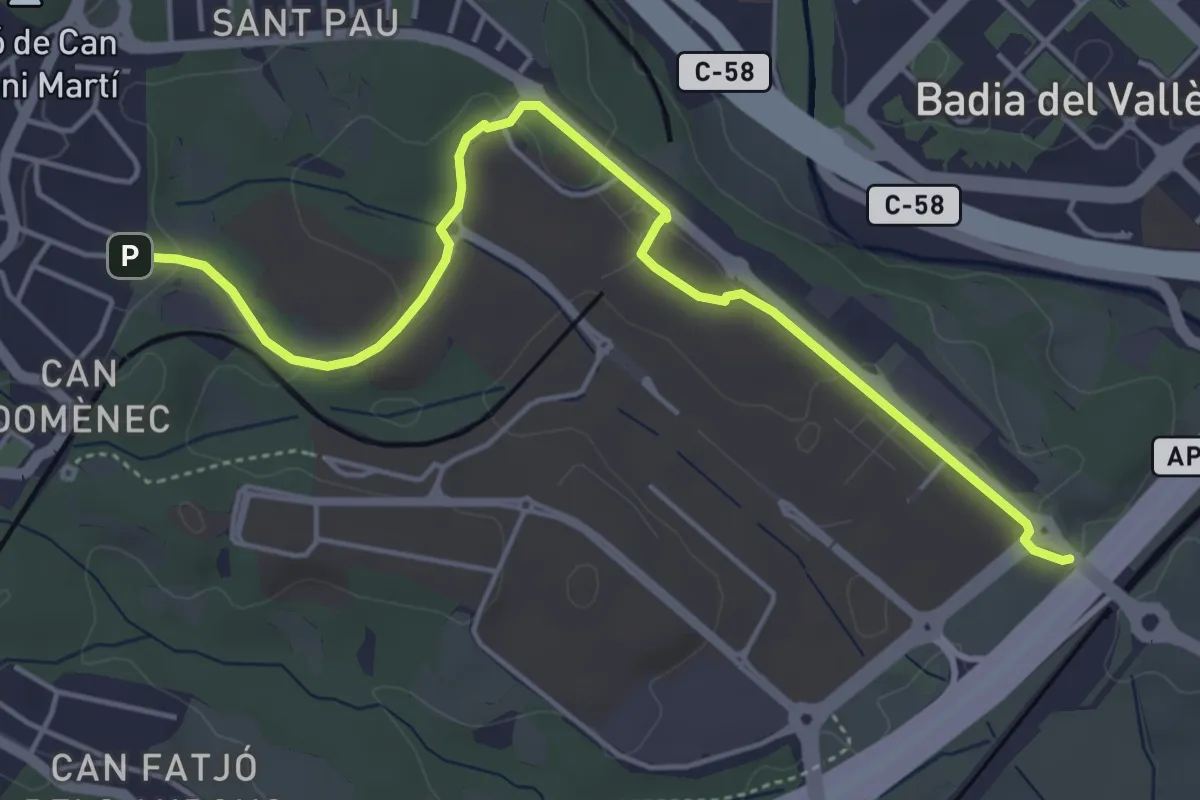
Easy · Trail
Ruta groga
5.7 km · ↑ 89 m · 1 h 32 min · 14 km away
Easy · Trail
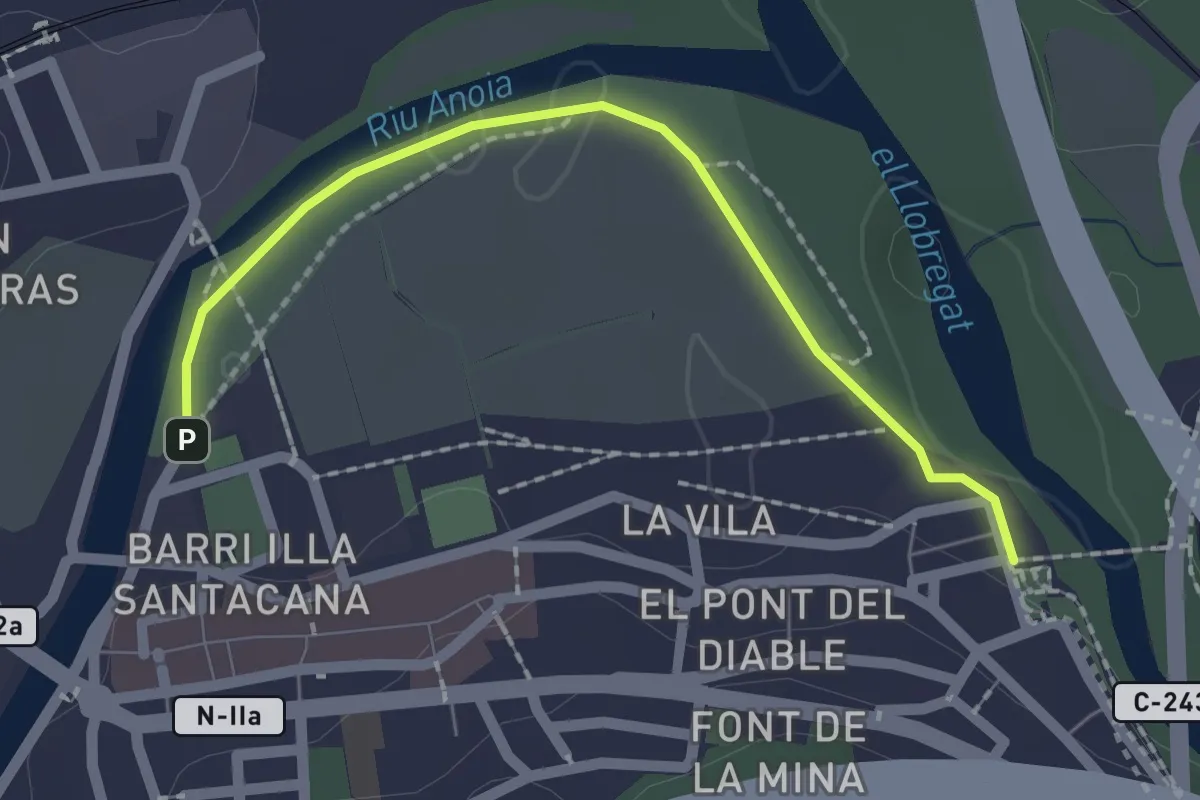
Circuit inclusiu de Martorell
2.2 km · ↑ 8 m · 32 min · 14 km away
Easy · Trail
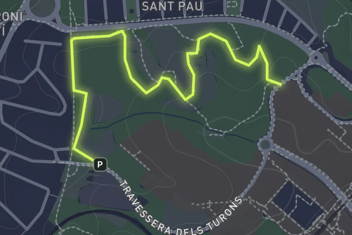
Ruta blava
3.4 km · ↑ 39 m · 54 min · 14 km away