Trails near Tacoronte
36 hikes starting within 15 km, nearest first.
Nearest first
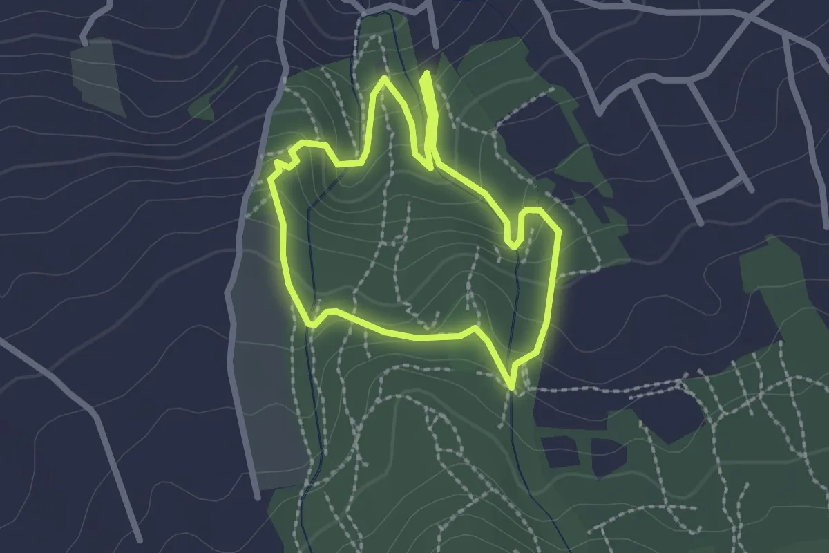
Easy · Trail
Circular Lomo de la Jara
2.4 km · ↑ 143 m · 55 min · 3 km away
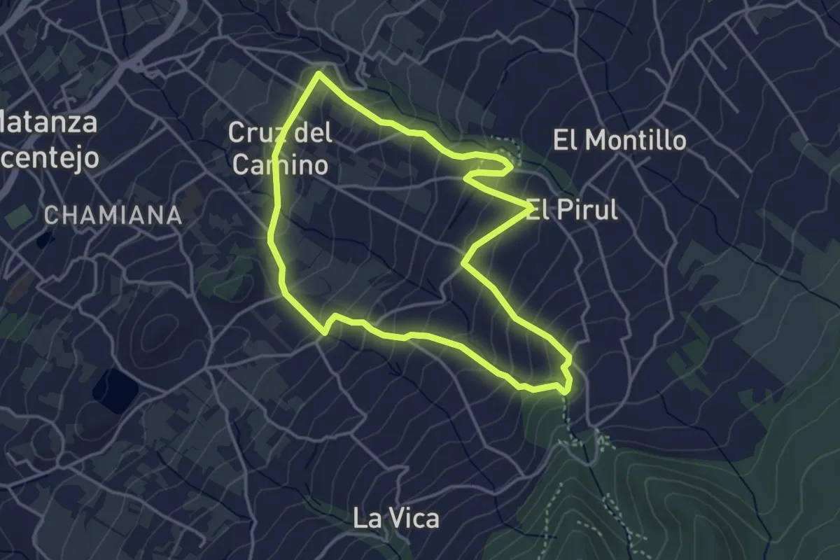
Easy · Trail
Los Nateros-La Vica
4.6 km · ↑ 313 m · 1 h 50 min · 4 km away
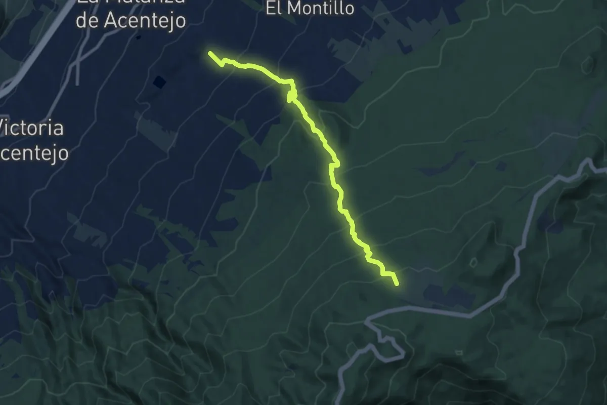
Demanding · Summit
Las Lagunetas-Los Nateros
10.3 km · ↑ 815 m · 4 h 11 min · 5 km away
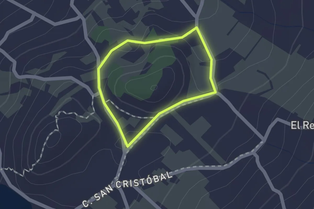
Easy · Trail
Los Nateros
1.2 km · ↑ 17 m · 20 min · 5 km away
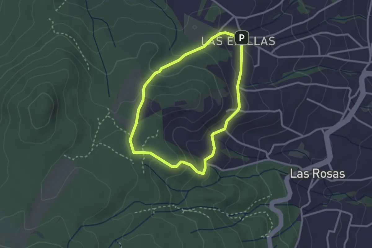
Easy · Trail
Las Erillas
2.9 km · ↑ 107 m · 57 min · 5 km away
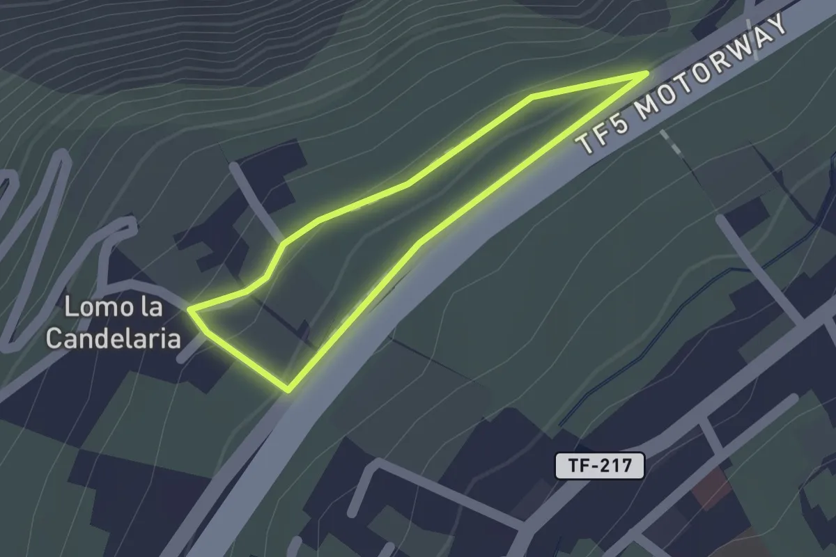
Medium · Trail
Camino de Acentejo
1.2 km · ↑ 32 m · 22 min · 5 km away
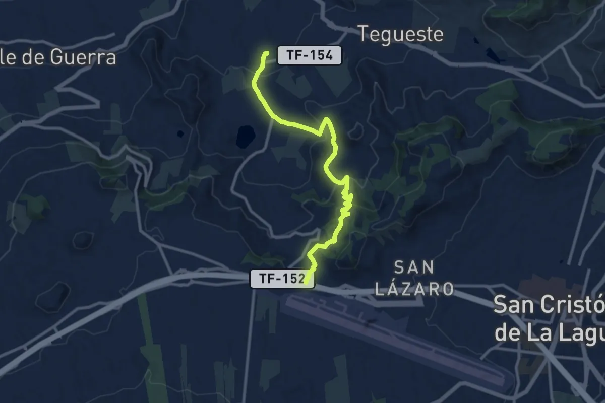
Medium · Trail
El Portezuelo-El Socorro
11.5 km · ↑ 527 m · 3 h 51 min · 7 km away
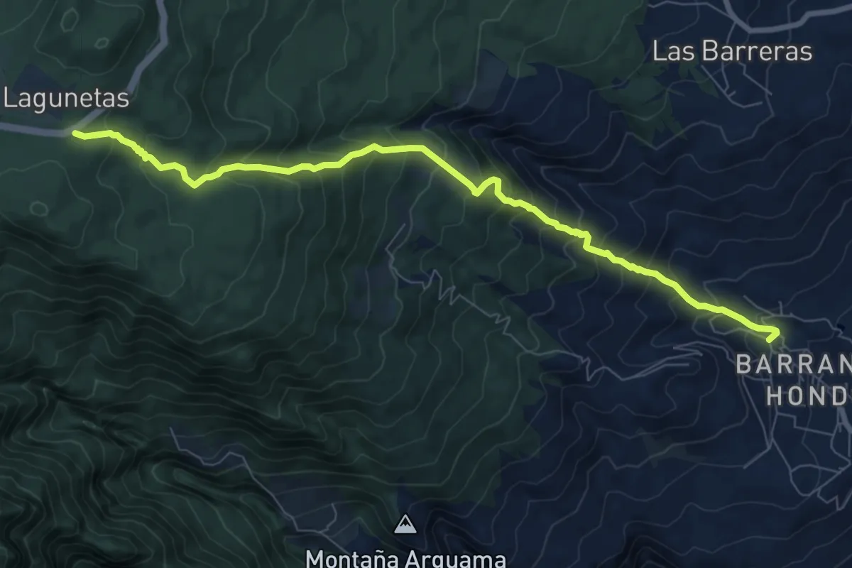
Demanding · Trail
Lomo el Centeno
10.7 km · ↑ 1001 m · 4 h 42 min · 7 km away
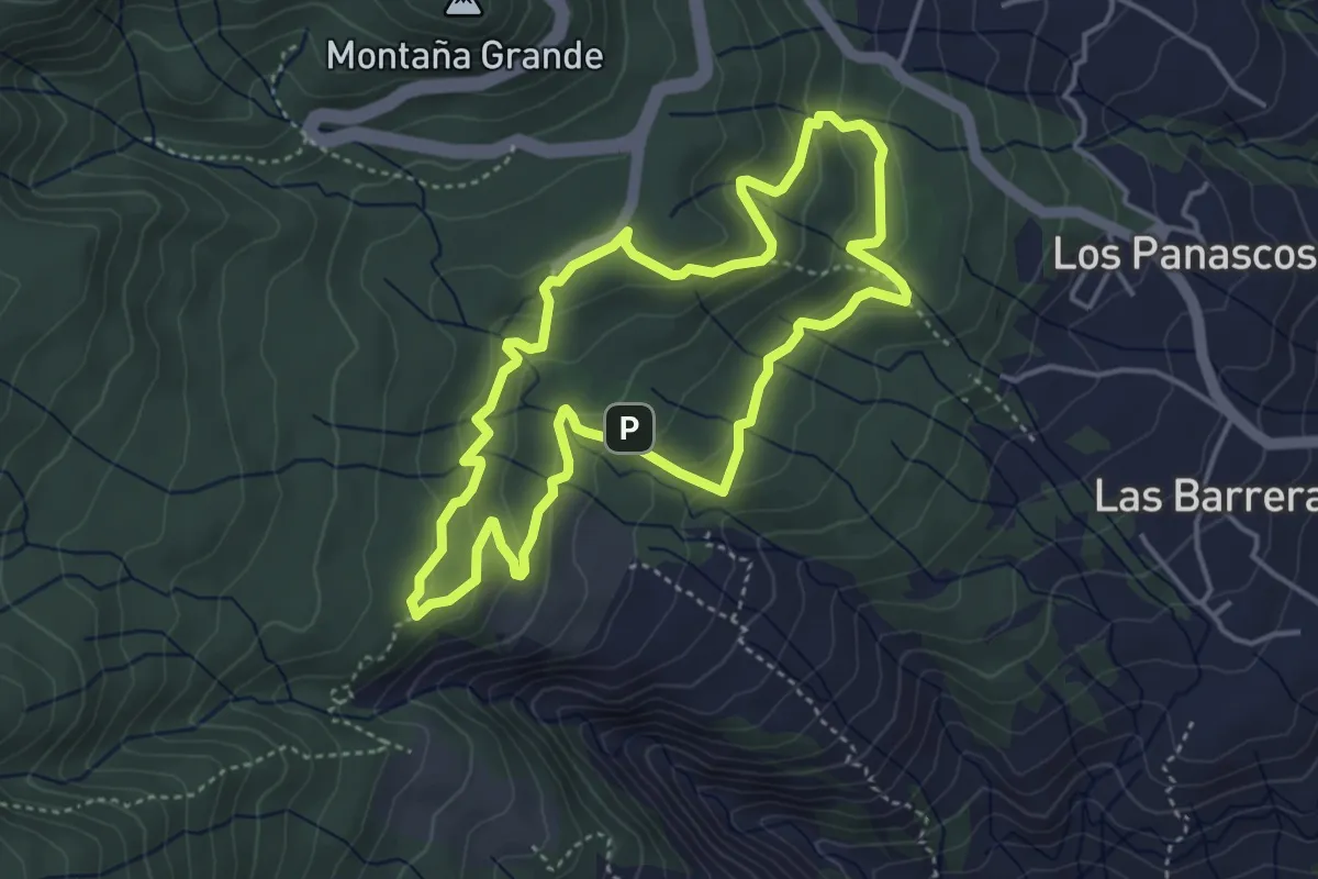
Easy · Summit
Circular Las Raíces
5.1 km · ↑ 223 m · 1 h 46 min · 8 km away
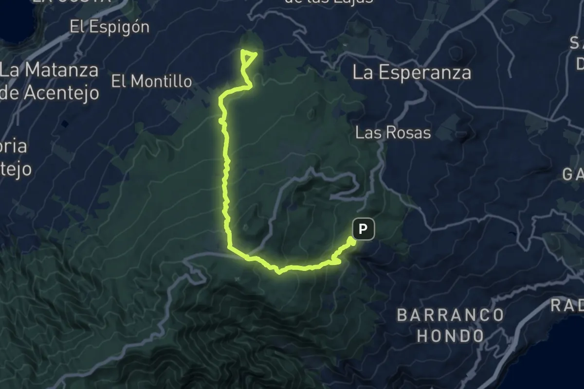
Demanding · Trail
Las Raices-Lomo de la Jara
21.6 km · ↑ 1240 m · 7 h 47 min · 8 km away
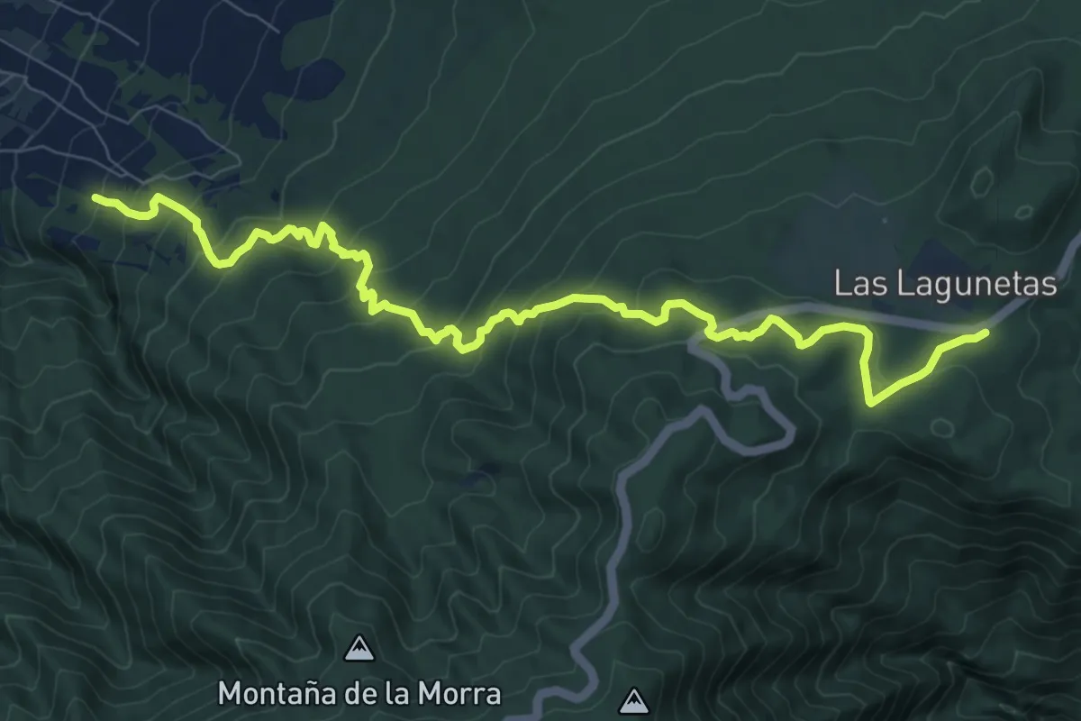
Demanding · Trail
Las Lagunetas-Hoya del Abade
12.8 km · ↑ 815 m · 4 h 48 min · 8 km away
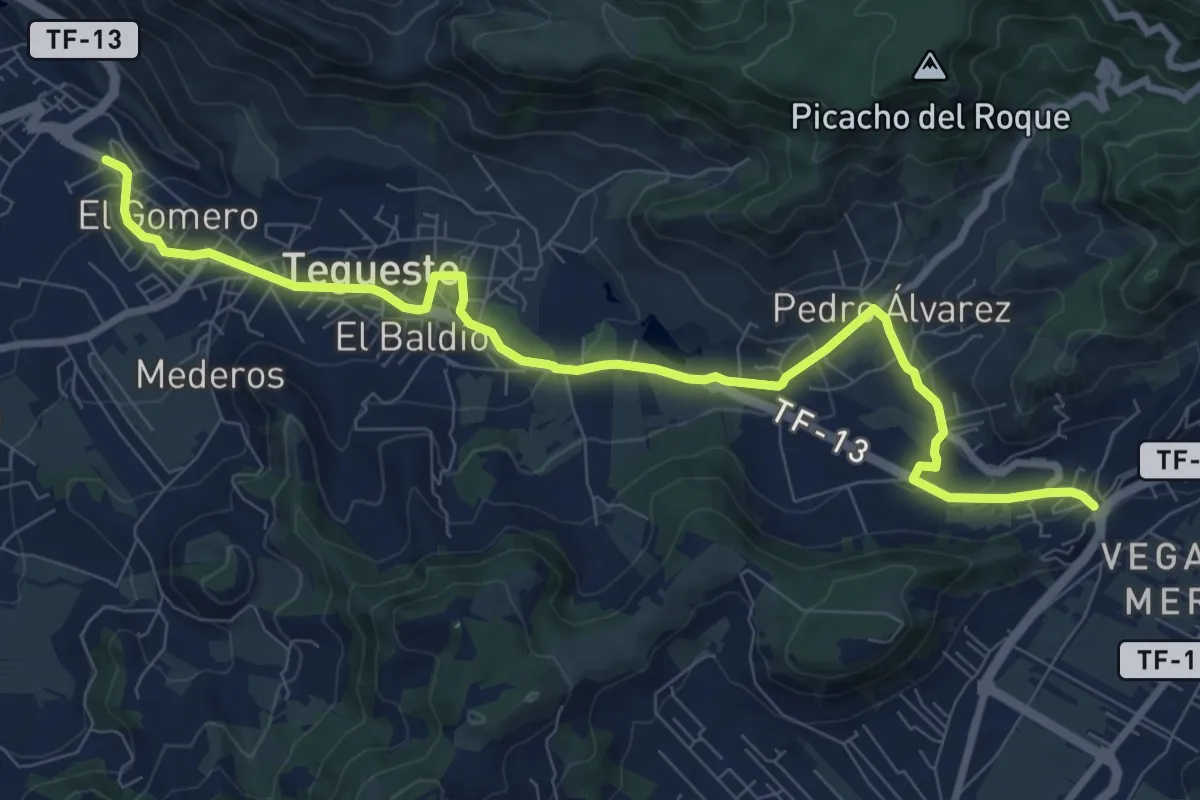
Medium · Trail
Las Canteras-Las Toscas
12.7 km · ↑ 355 m · 3 h 46 min · 8 km away
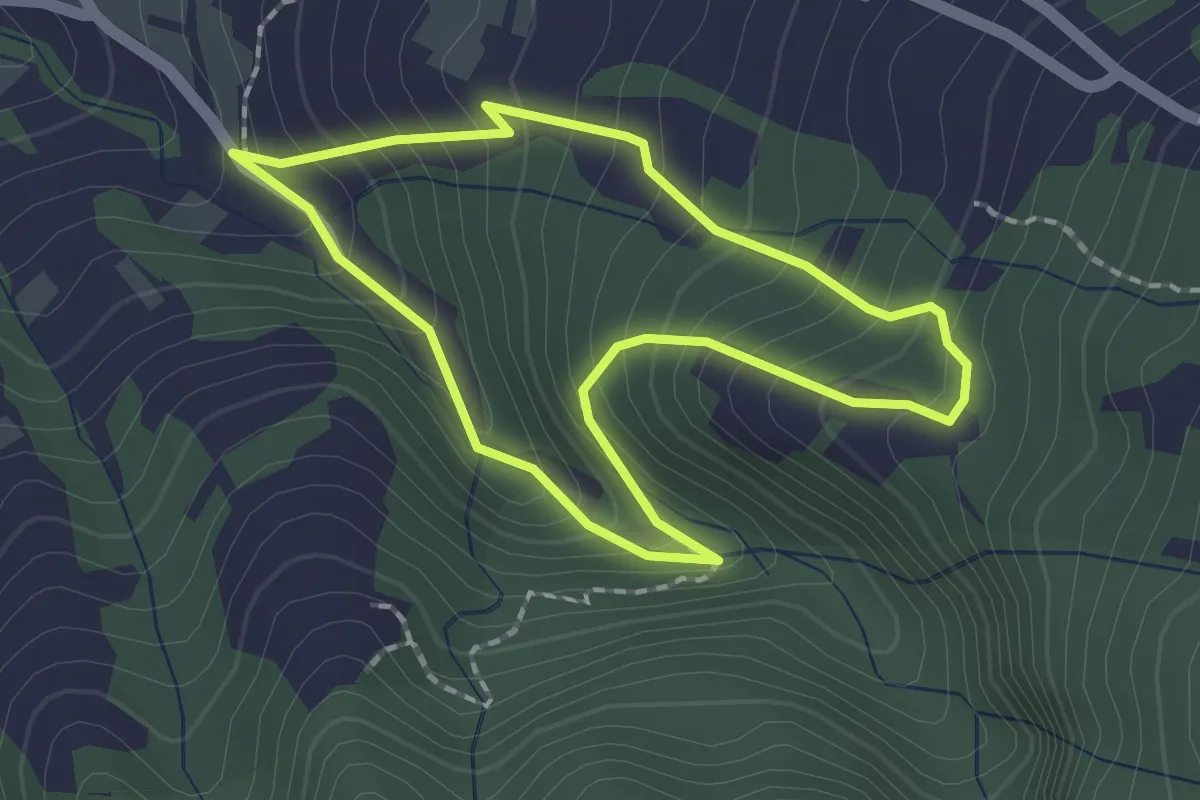
Easy · Trail
Los Dornajos. Ruta de los Castaños
2.1 km · ↑ 202 m · 58 min · 8 km away
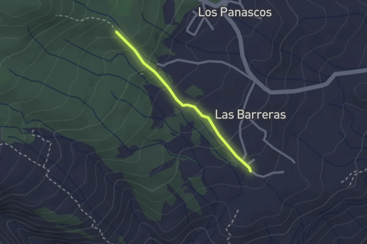
Easy · Trail
Camino Marabedí
2.2 km · ↑ 172 m · 54 min · 9 km away
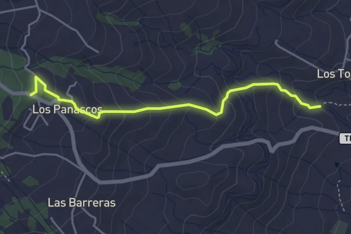
Easy · Trail
Camino de Los Panascos
4.5 km · ↑ 311 m · 1 h 44 min · 9 km away
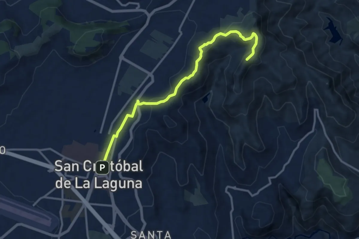
Medium · Summit
Camino de las lecheras
10.8 km · ↑ 308 m · 3 h 12 min · 10 km away
Easy · Summit
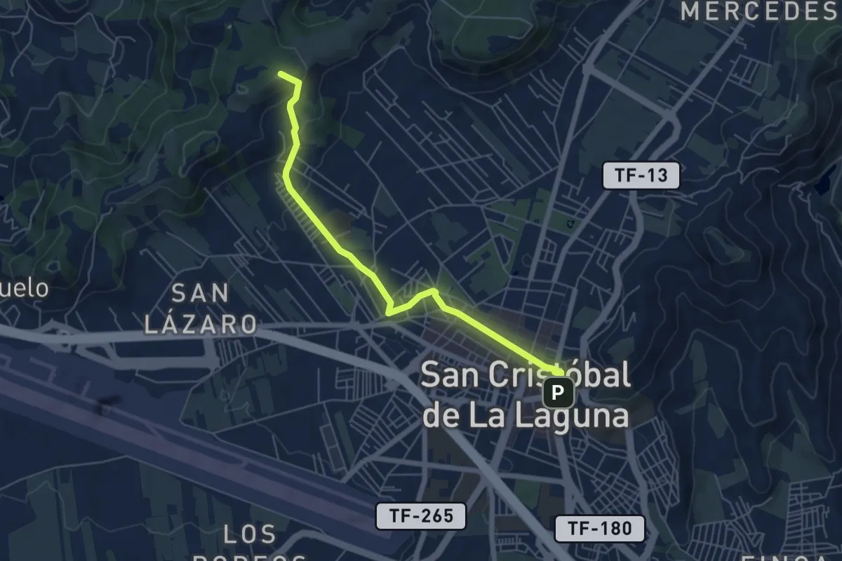
Camino de Candelaria de Tegueste
3.6 km · ↑ 189 m · 1 h 13 min · 10 km away
Medium · Trail
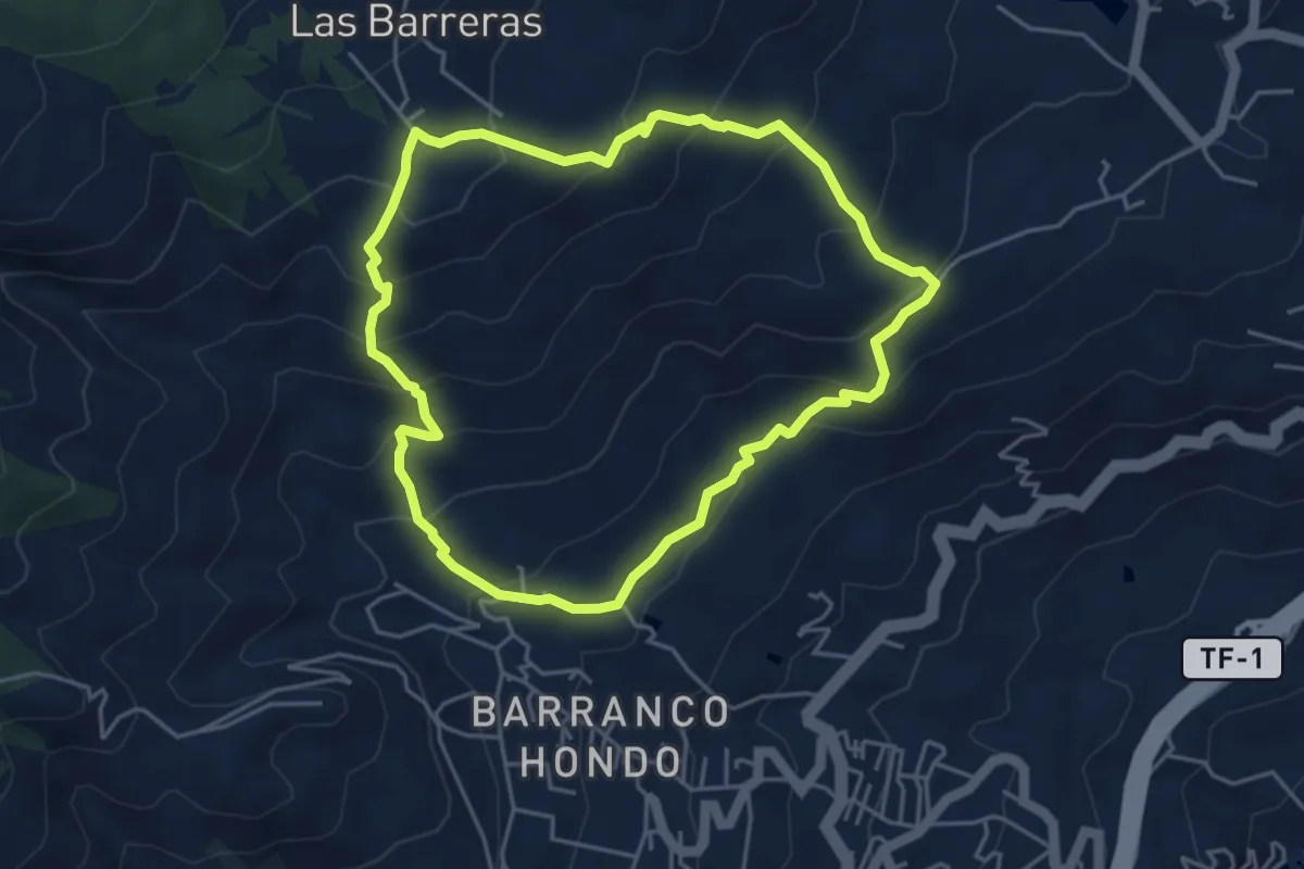
Circular Las Barreras
5.5 km · ↑ 381 m · 2 h 13 min · 10 km away
Medium · Trail
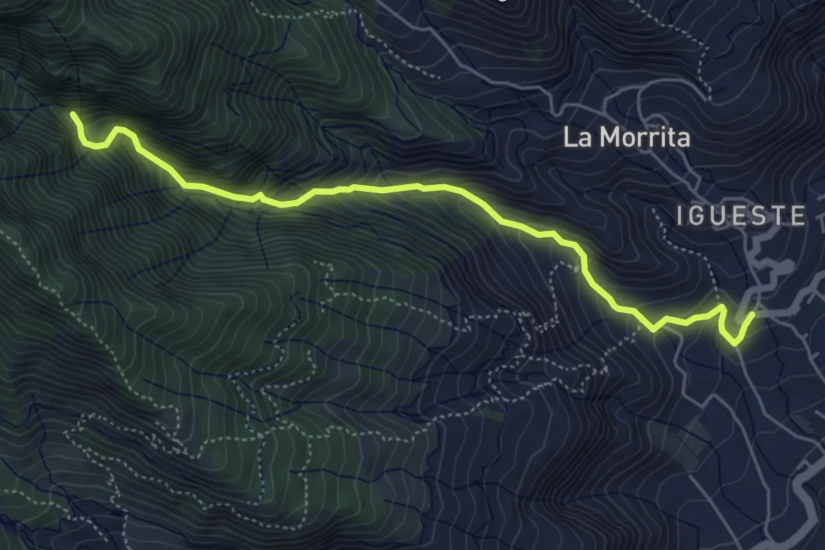
Barranco Chacorche
6.7 km · ↑ 590 m · 2 h 52 min · 11 km away
Demanding · Summit
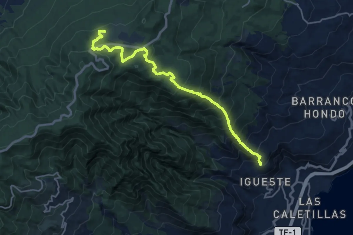
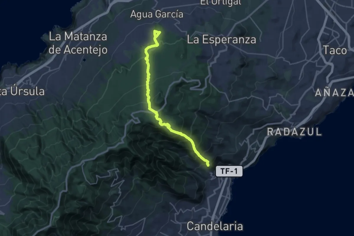
Camino de Candelaria de la Matanza
8.1 km · ↑ 1128 m · 3 h 57 min · 11 km away
Demanding · Pilgrim path
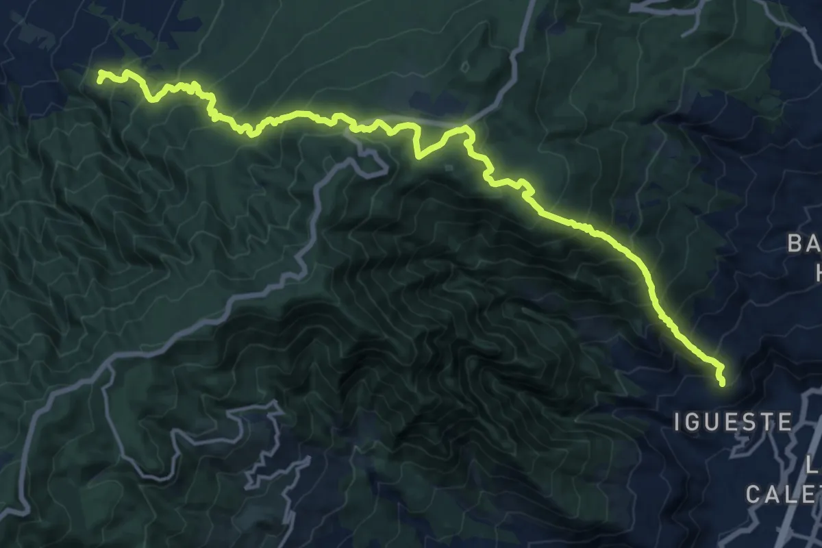
Camino de Candelaria de Tacoronte-El Sauzal
12.1 km · ↑ 1116 m · 5 h 11 min · 11 km away
Demanding · Pilgrim path
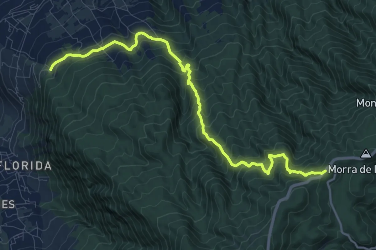
Camino de Candelaria de la Victoria
11.8 km · ↑ 1159 m · 5 h 15 min · 11 km away
Demanding · Pilgrim path
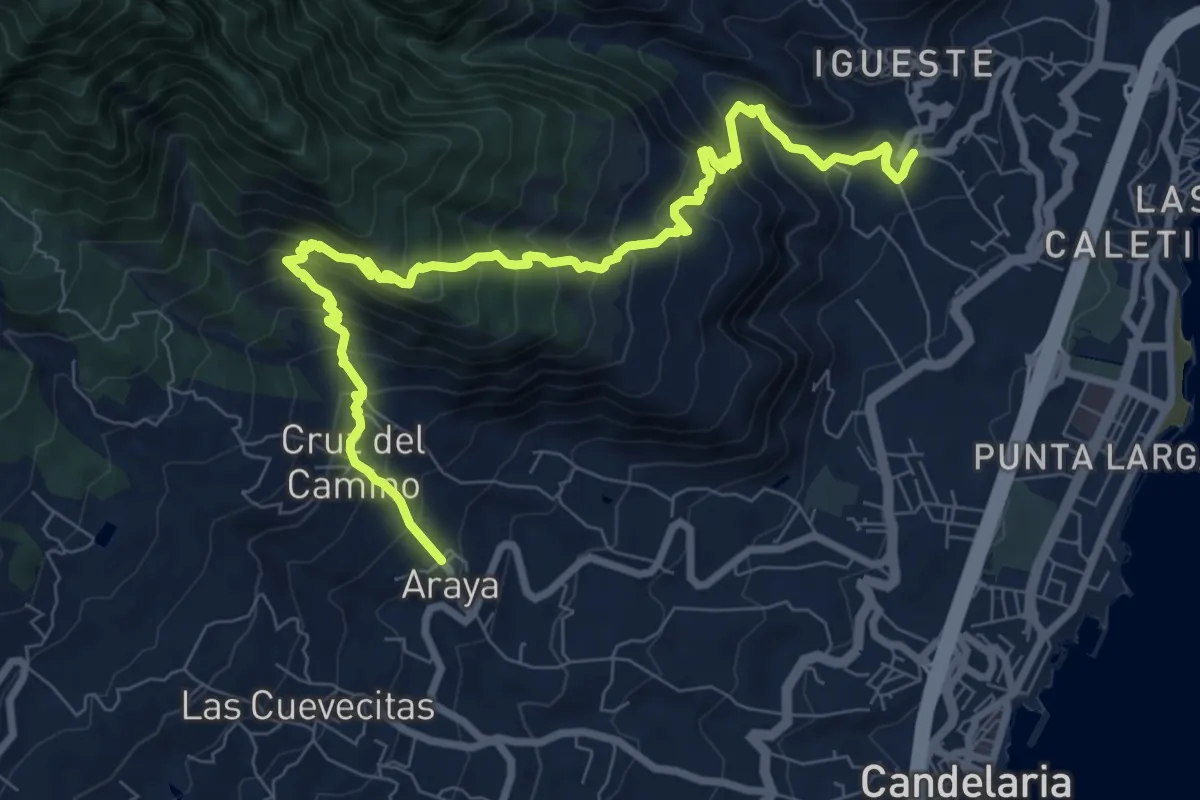
Camino de Candelaria de Santa Ursula
7.4 km · ↑ 1096 m · 3 h 45 min · 12 km away
Demanding · Trail
La Mesa
12.7 km · ↑ 1208 m · 5 h 37 min · 12 km away
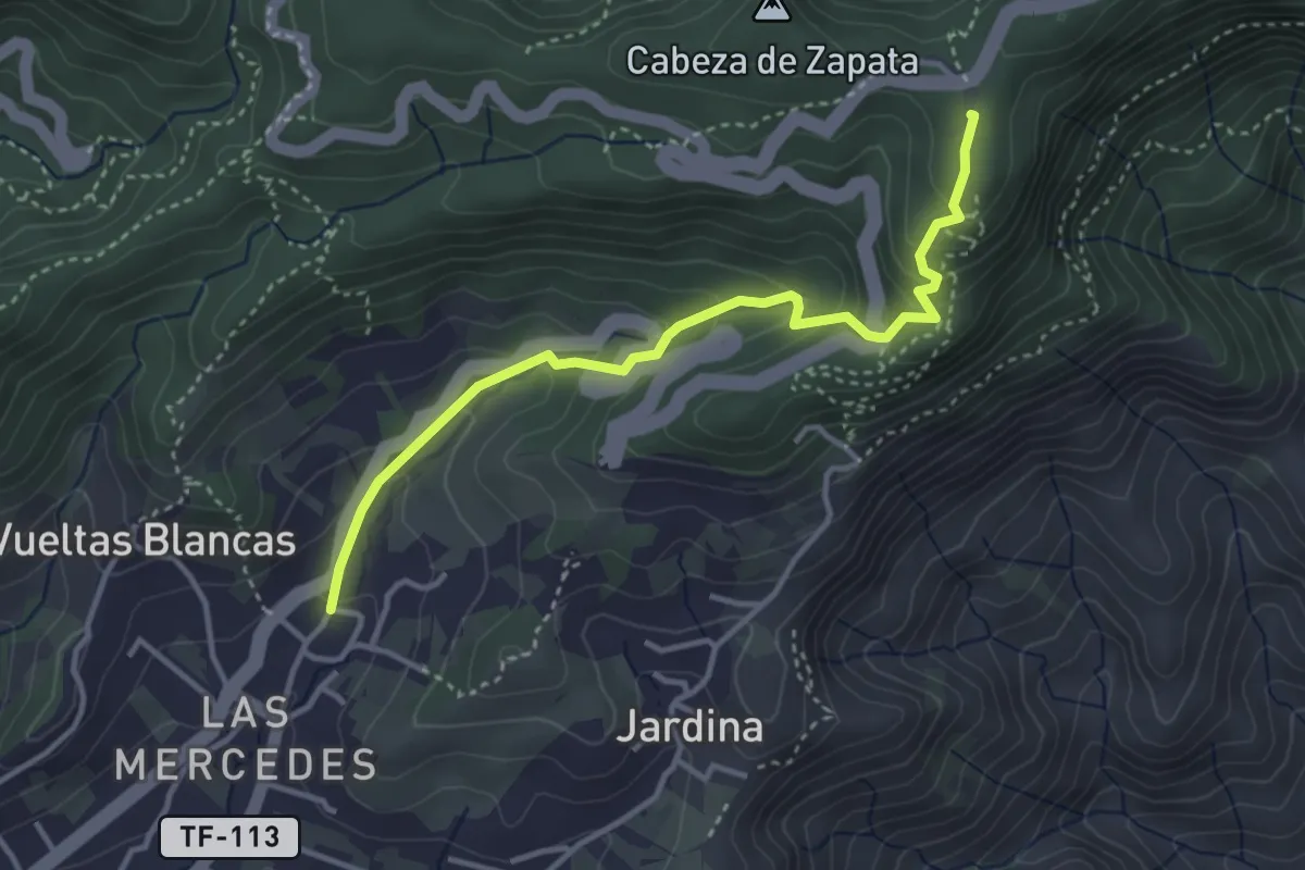
Easy · Trail
Las Mercedes - Cruz del Carmen
4.6 km · ↑ 289 m · 1 h 43 min · 13 km away
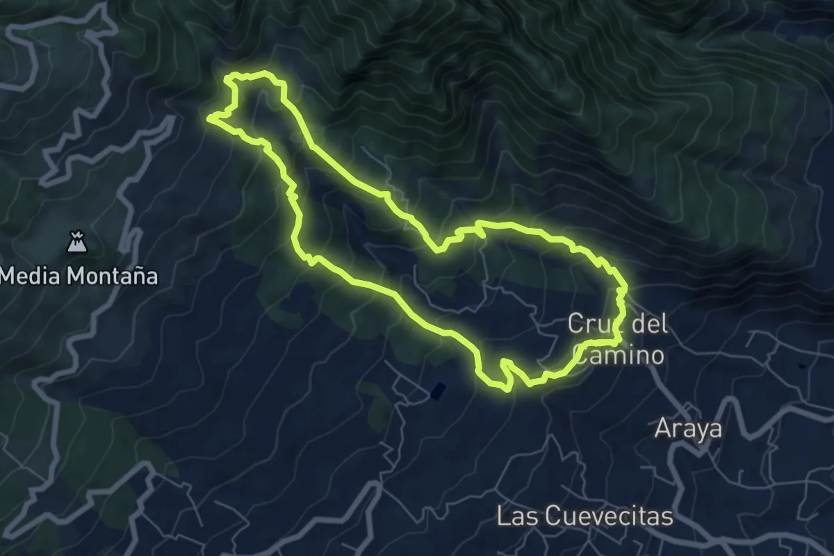
Medium · Trail
Los Brezos
8.2 km · ↑ 685 m · 3 h 31 min · 13 km away
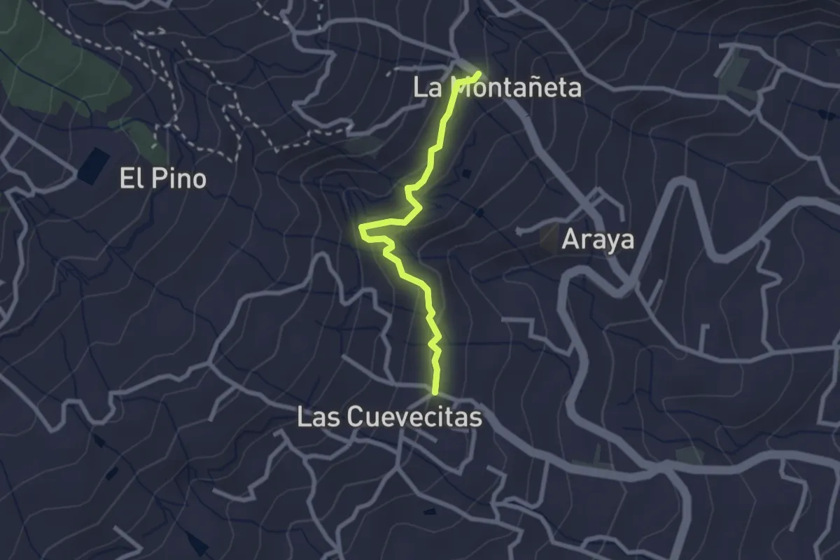
Easy · Trail
Barranco El Rincón
2.7 km · ↑ 133 m · 56 min · 13 km away
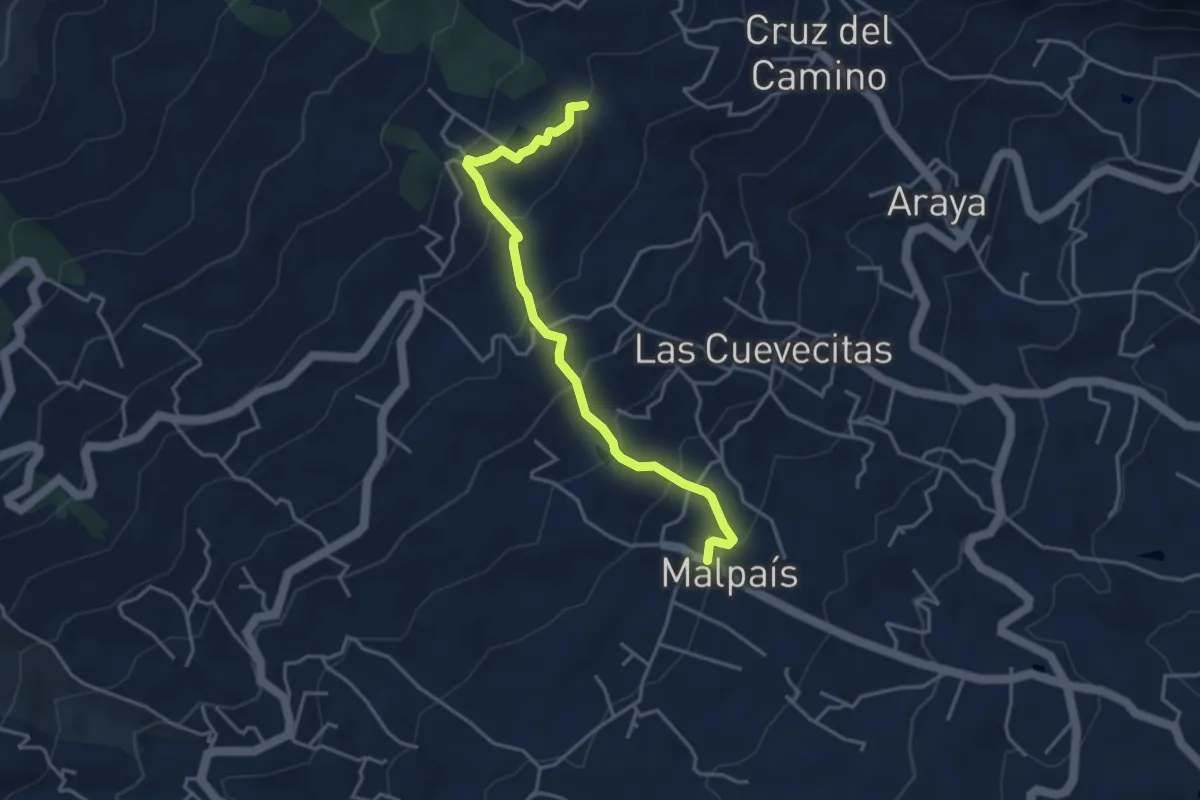
Medium · Trail
El Moralito
5.0 km · ↑ 341 m · 1 h 55 min · 13 km away
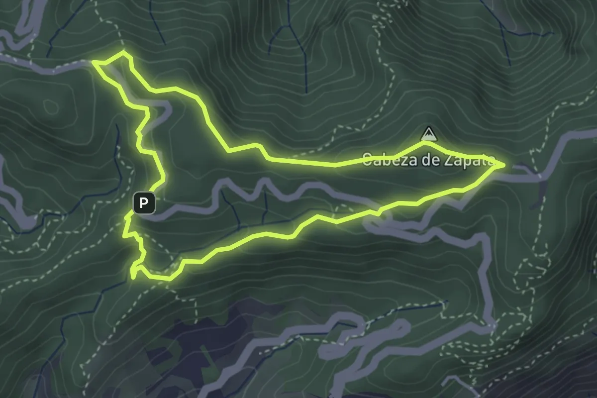
Easy · Summit
El bosque de los enigmas
4.5 km · ↑ 210 m · 1 h 35 min · 13 km away
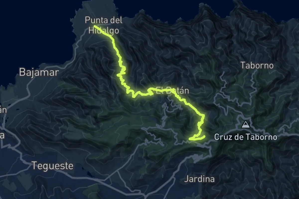
Demanding · Summit
Cruz del Carmen - Punta del Hidalgo
22.0 km · ↑ 2022 m · 9 h 35 min · 13 km away
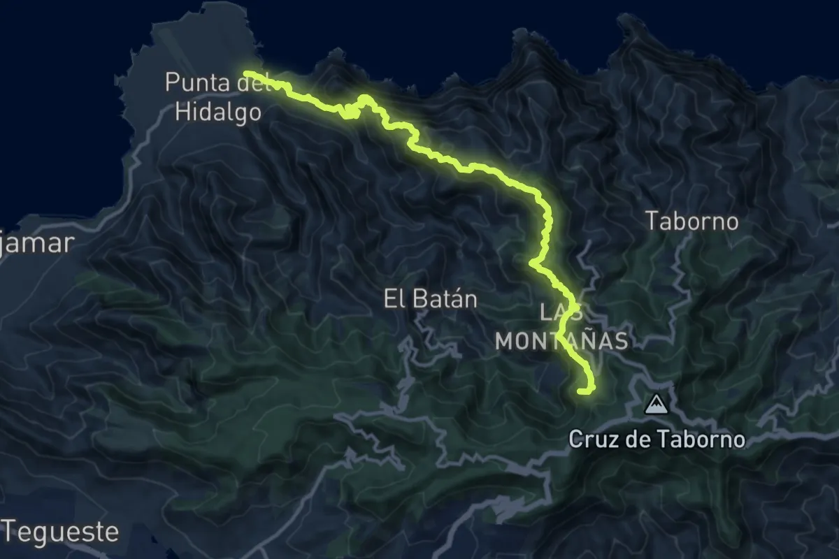
Demanding · Summit
Cruz del Carmen - Punta del Hidalgo
17.4 km · ↑ 1750 m · 7 h 54 min · 14 km away
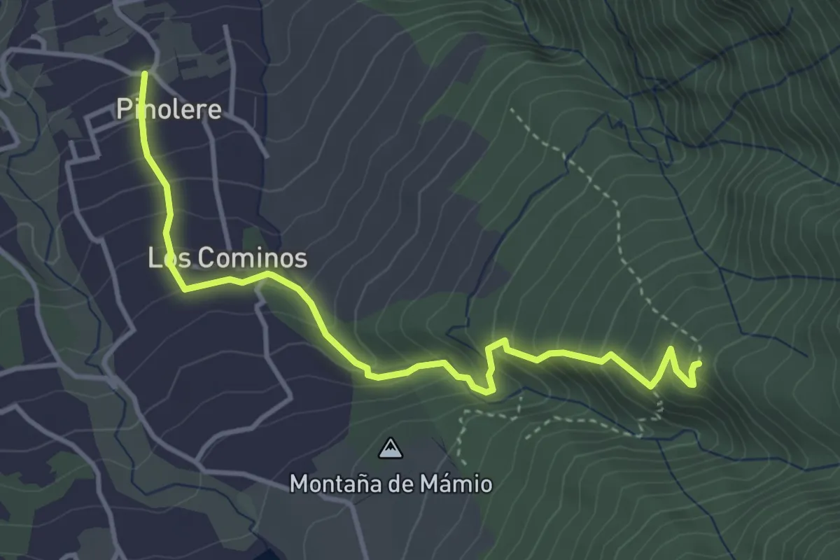
Medium · Trail
Llano de los Corrales - Pinolere
5.0 km · ↑ 461 m · 2 h 11 min · 14 km away
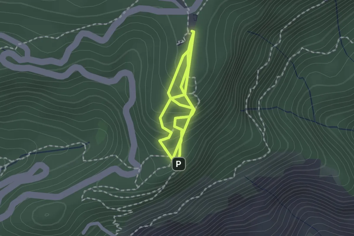
Medium · Trail
Sendero de los Sentidos. Trazado 2
3.4 km · ↑ 226 m · 1 h 18 min · 14 km away
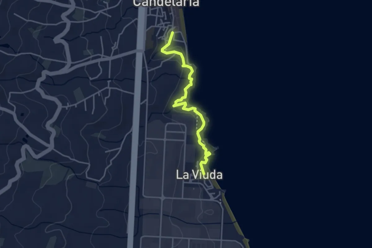
Easy · Trail
Samarines
4.2 km · ↑ 207 m · 1 h 26 min · 15 km away
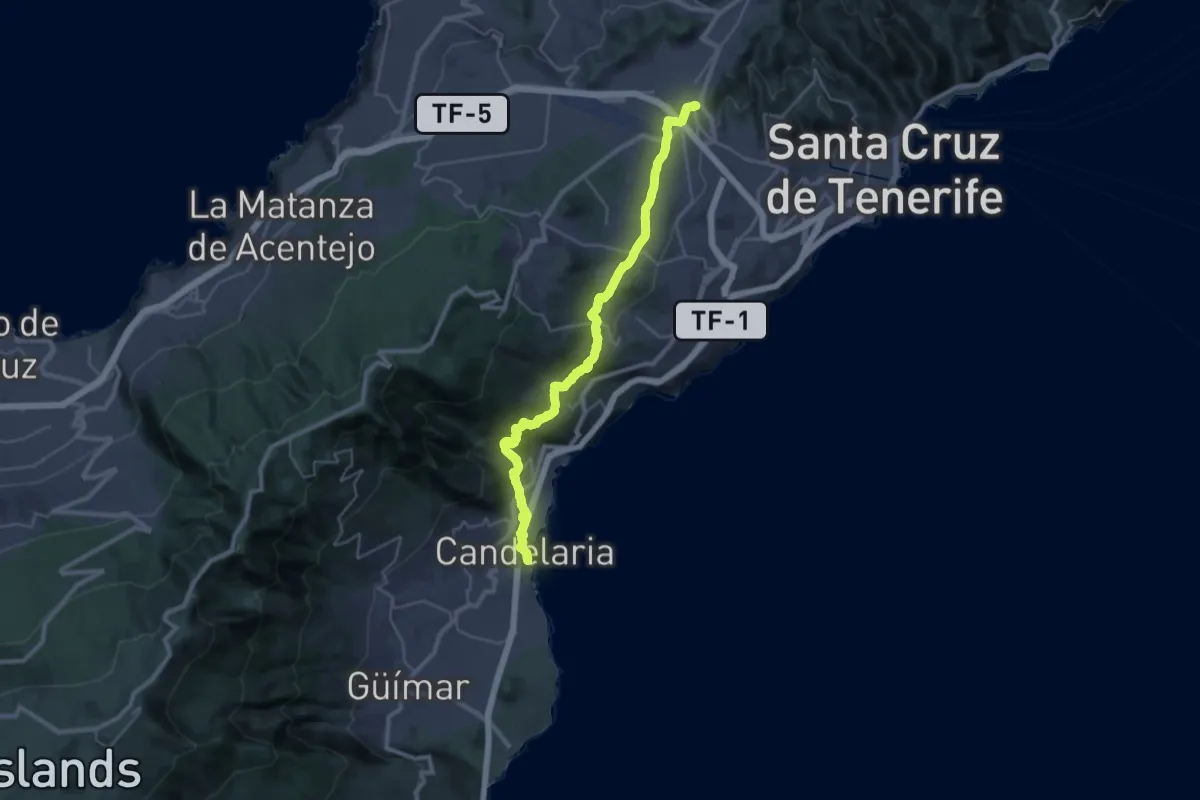
Demanding · Pilgrim path
Camino de Candelaria de La Laguna
20.5 km · ↑ 868 m · 6 h 44 min · 15 km away
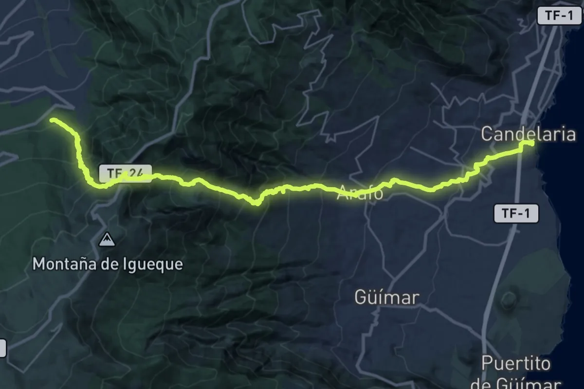
Demanding · Pilgrim path
Camino de Candelaria de La Orotava
18.2 km · ↑ 2010 m · 8 h 19 min · 15 km away