Trails near Tavernes de la Valldigna
23 hikes starting within 15 km, nearest first.
Nearest first
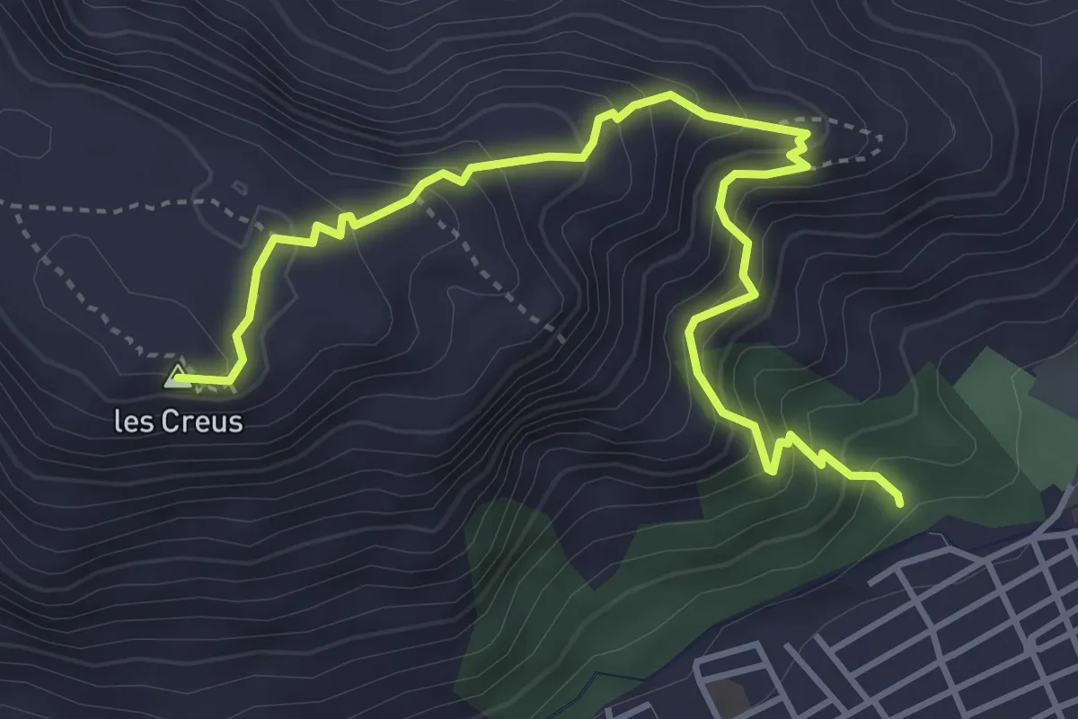
Medium · Summit
Alt de les creus
5.2 km · ↑ 571 m · 2 h 28 min · 1 km away
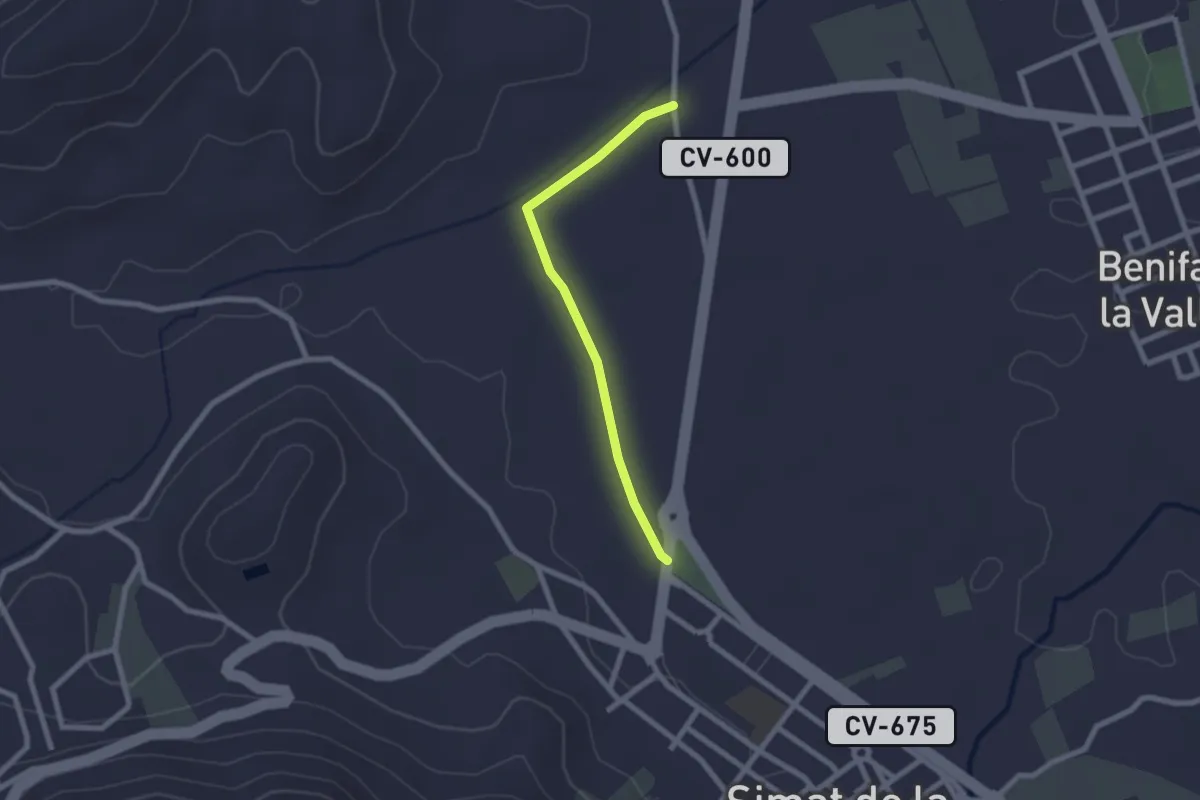
Easy · Trail
Camino Natural de l'Antic Trenet
2.3 km · ↑ 4 m · 33 min · 5 km away
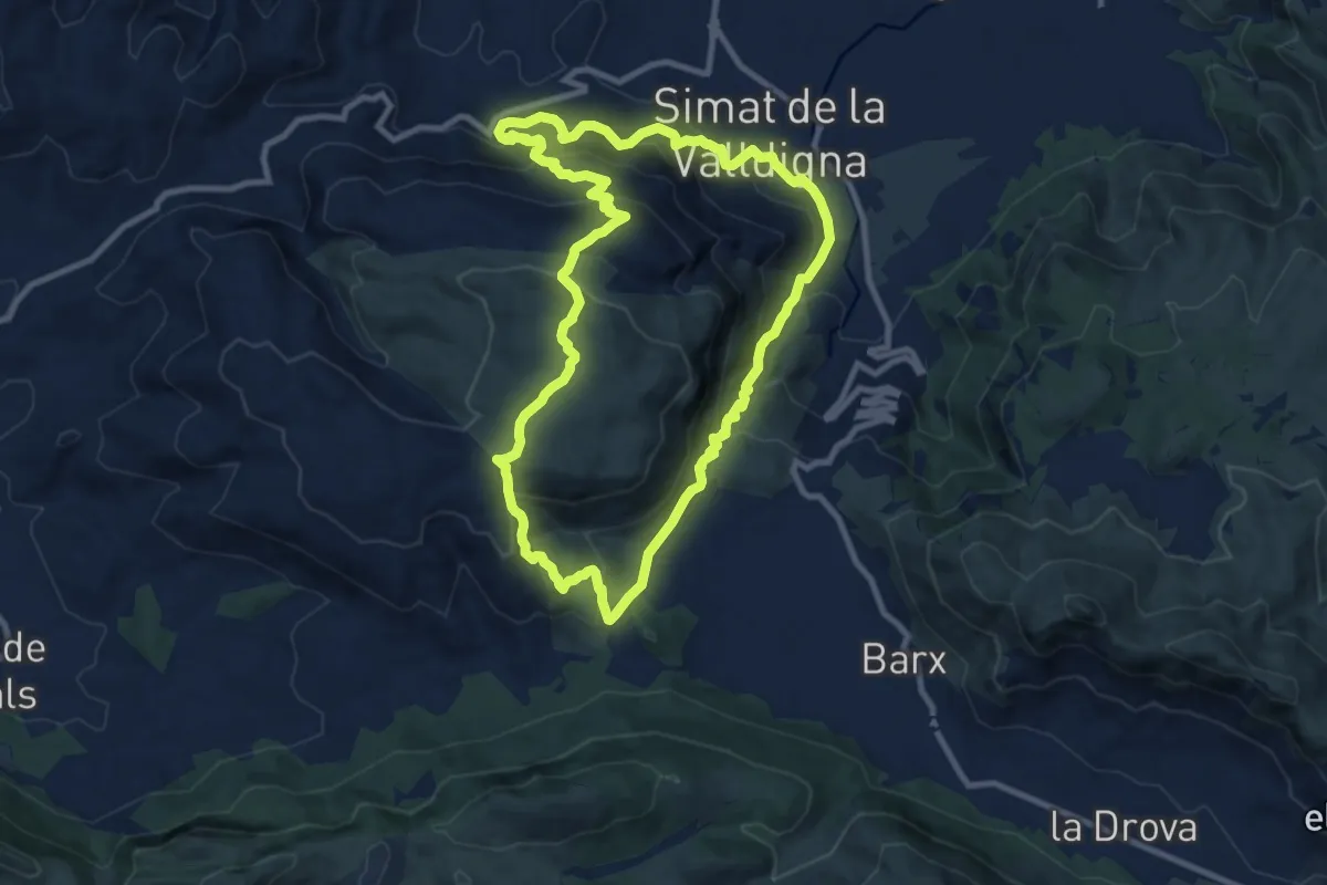
Medium · Summit
Senda del Toro
10.9 km · ↑ 665 m · 4 h 9 min · 5 km away
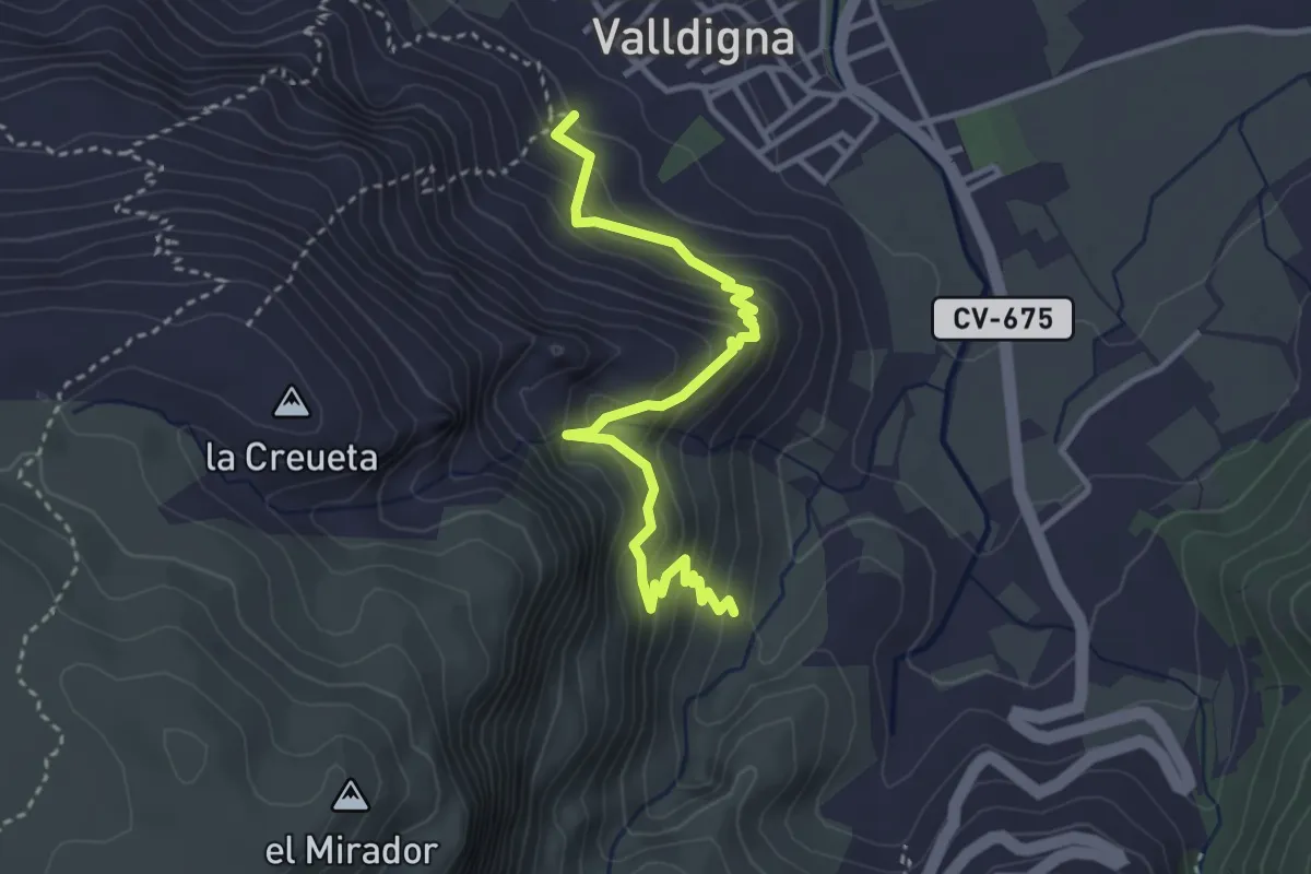
Medium · Trail
Cova Patricio
4.1 km · ↑ 462 m · 1 h 58 min · 6 km away
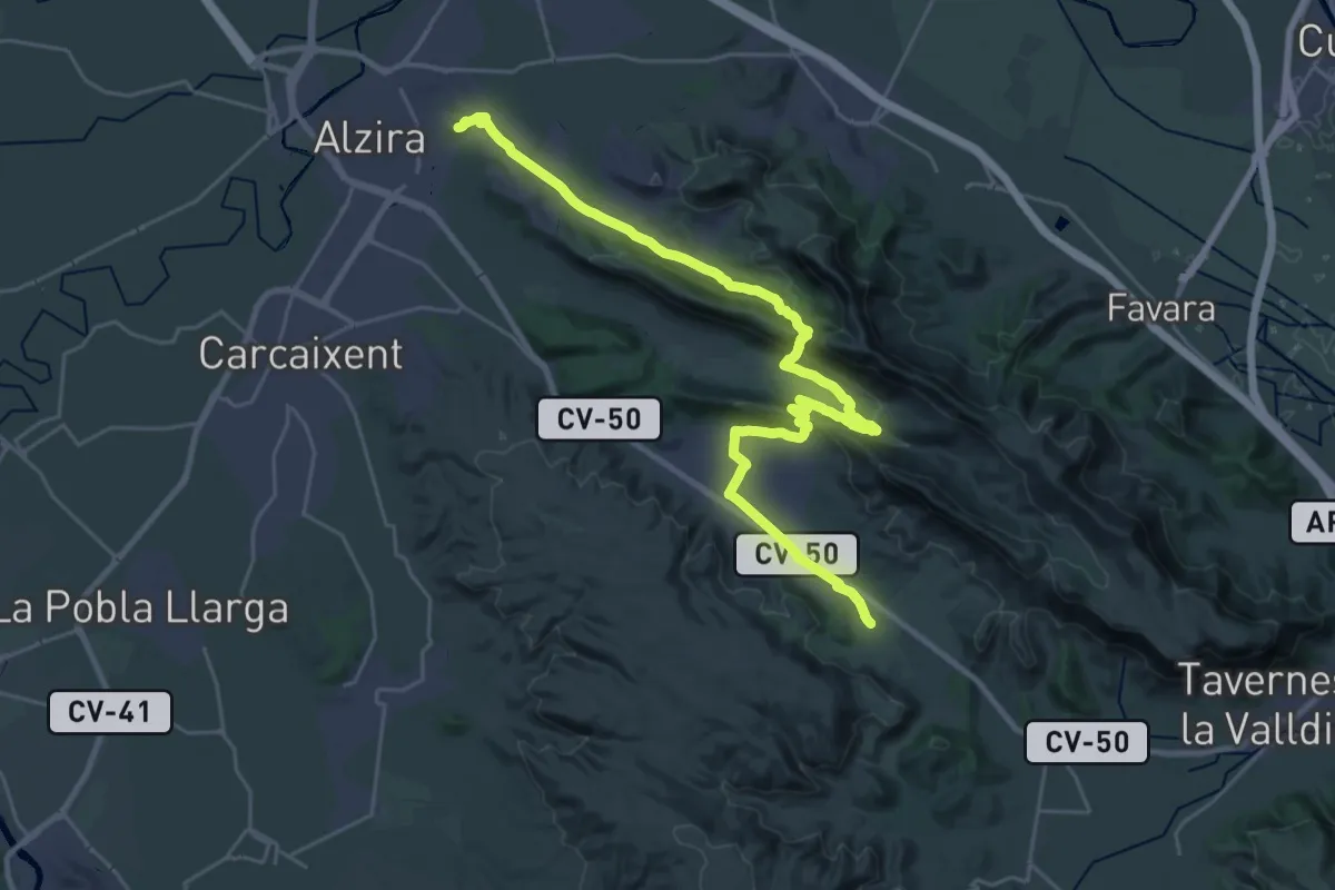
Demanding · Summit
Ruta dels Monestirs - El Pas del Pobre
35.5 km · ↑ 1029 m · 10 h 37 min · 7 km away
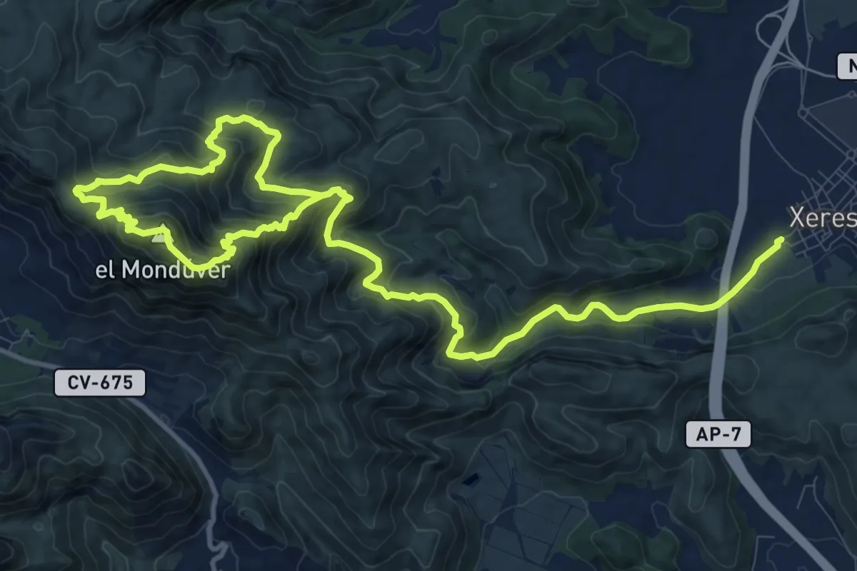
Medium · Summit
La Font del Mondúver - Xeresa
10.0 km · ↑ 469 m · 3 h 42 min · 7 km away
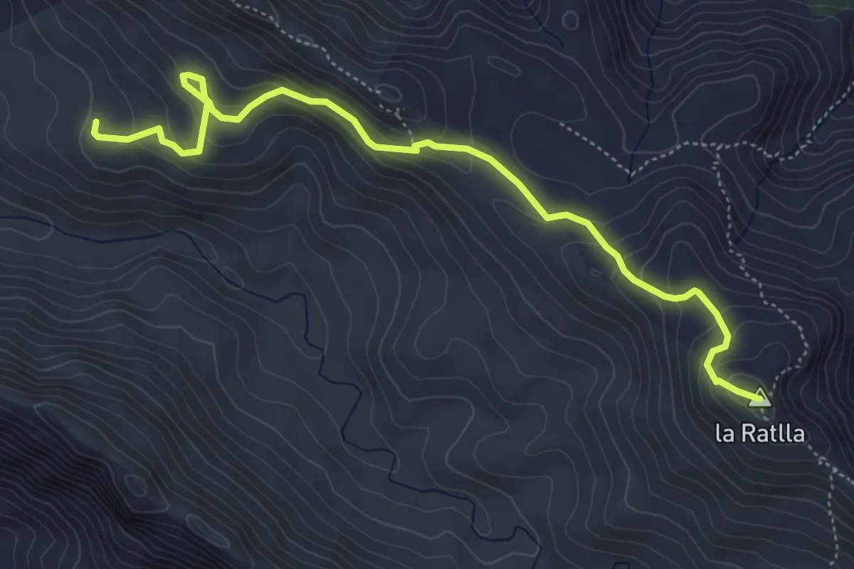
Demanding · Summit
Pic de la Ratlla
6.4 km · ↑ 441 m · 2 h 28 min · 7 km away
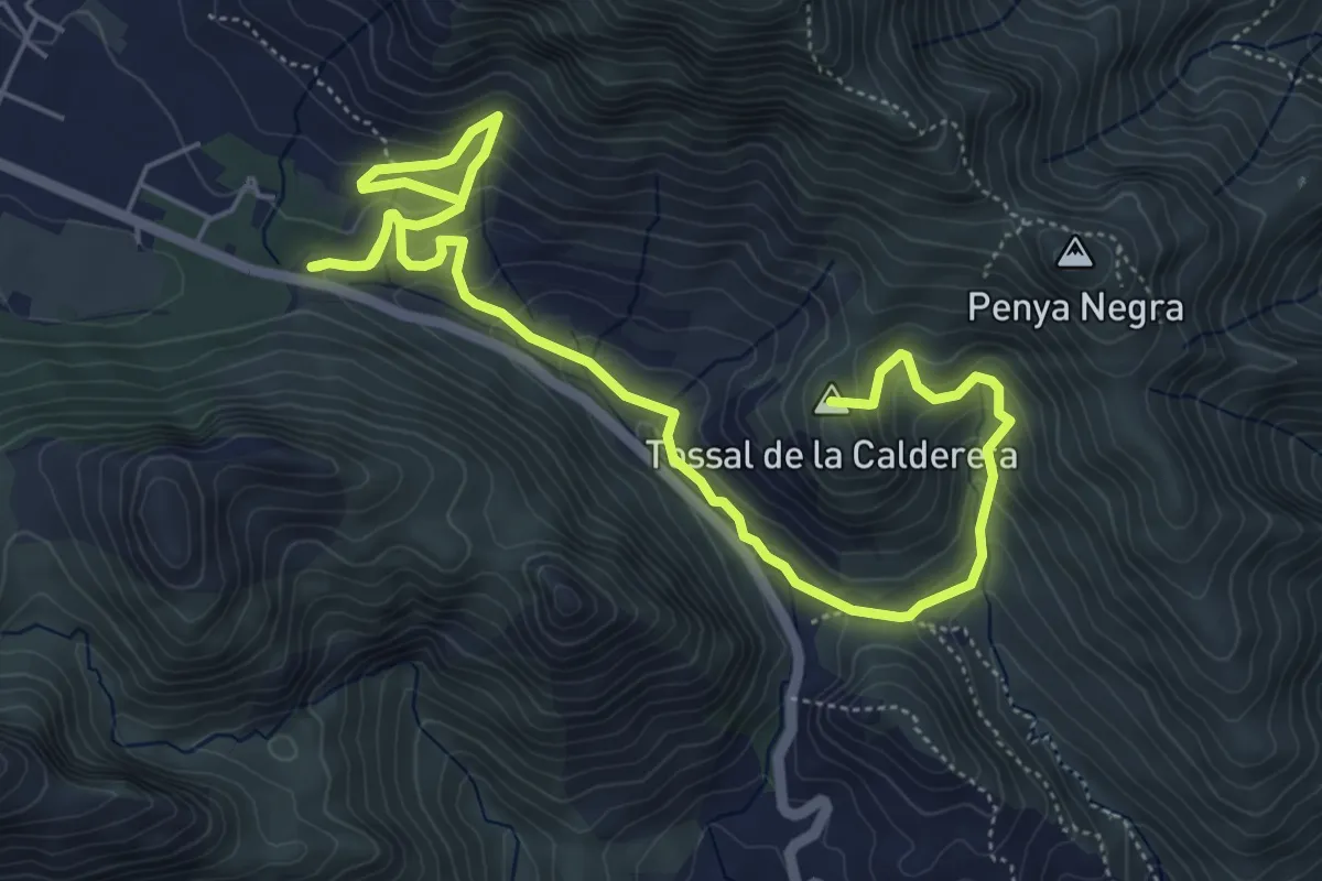
Medium · Summit
Senda de la Cova del Parpalló
8.8 km · ↑ 474 m · 3 h 6 min · 8 km away
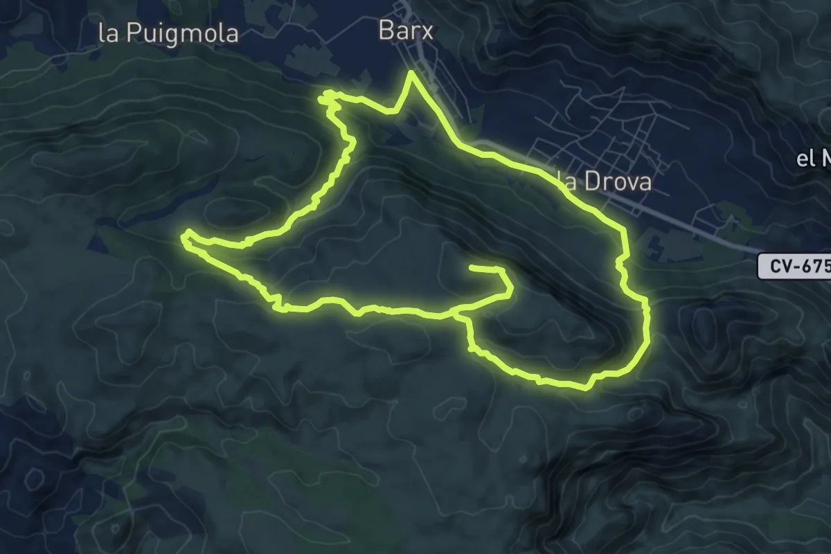
Demanding · Summit
De Barx a la Drova
21.4 km · ↑ 885 m · 6 h 59 min · 9 km away
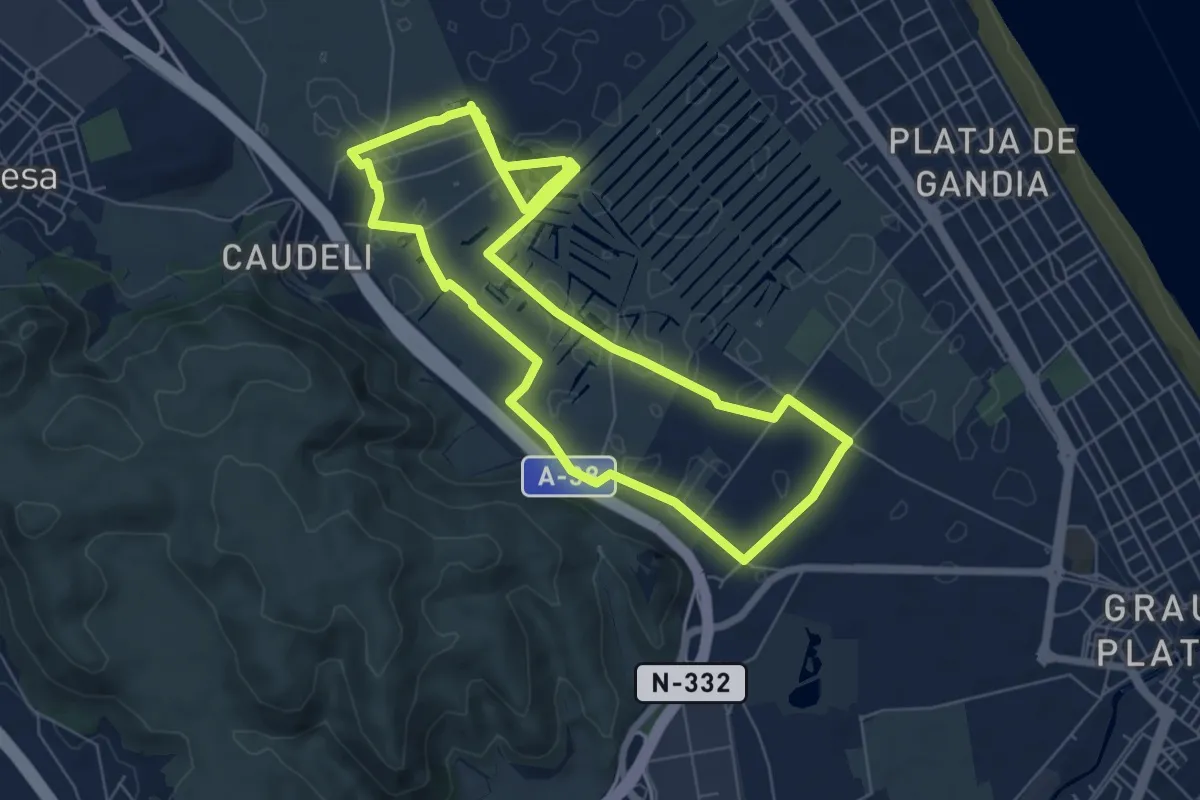
Easy · Trail
Circular Marjal de Gandia Entre Senill i Borro
7.5 km · ↑ 9 m · 1 h 54 min · 10 km away
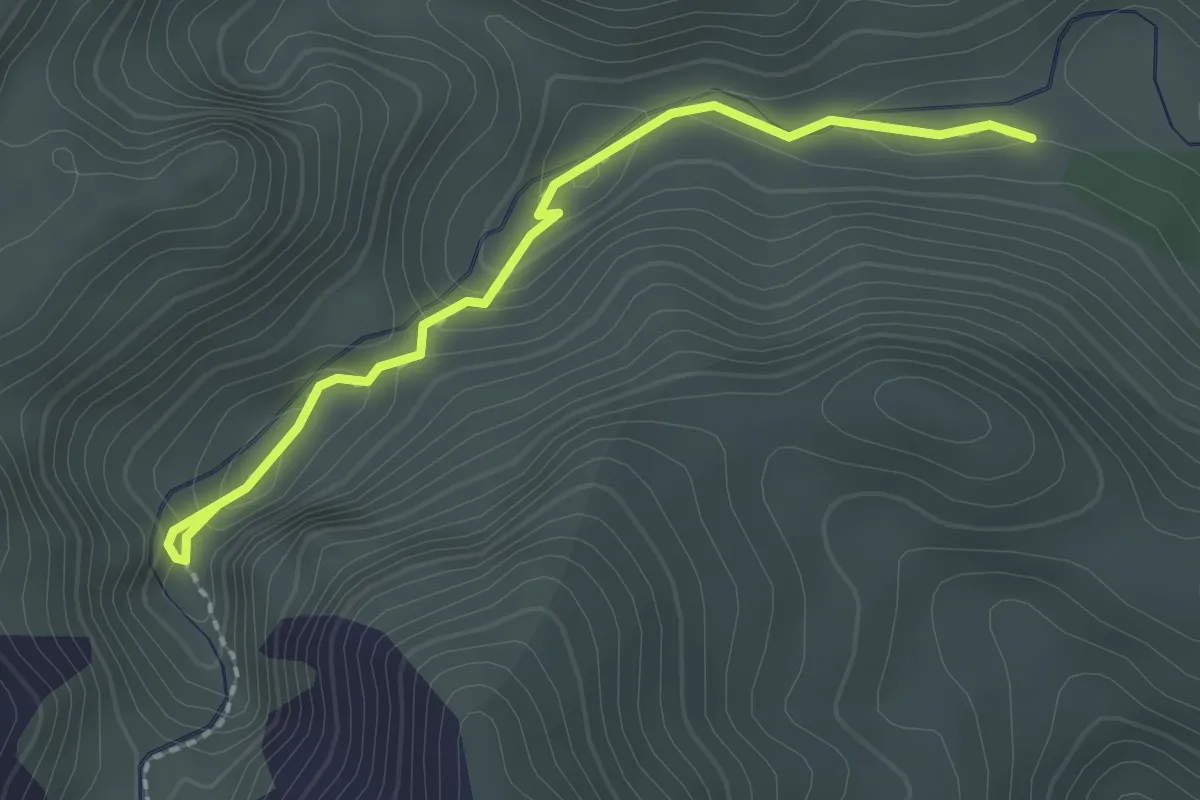
Medium · Trail
Senda del Portalet
2.4 km · ↑ 62 m · 42 min · 10 km away
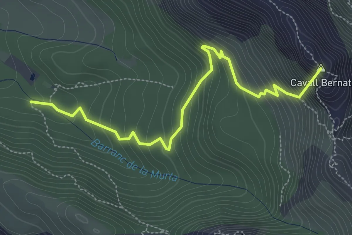
Medium · Summit
Creu del Cardenal
3.9 km · ↑ 337 m · 1 h 38 min · 10 km away
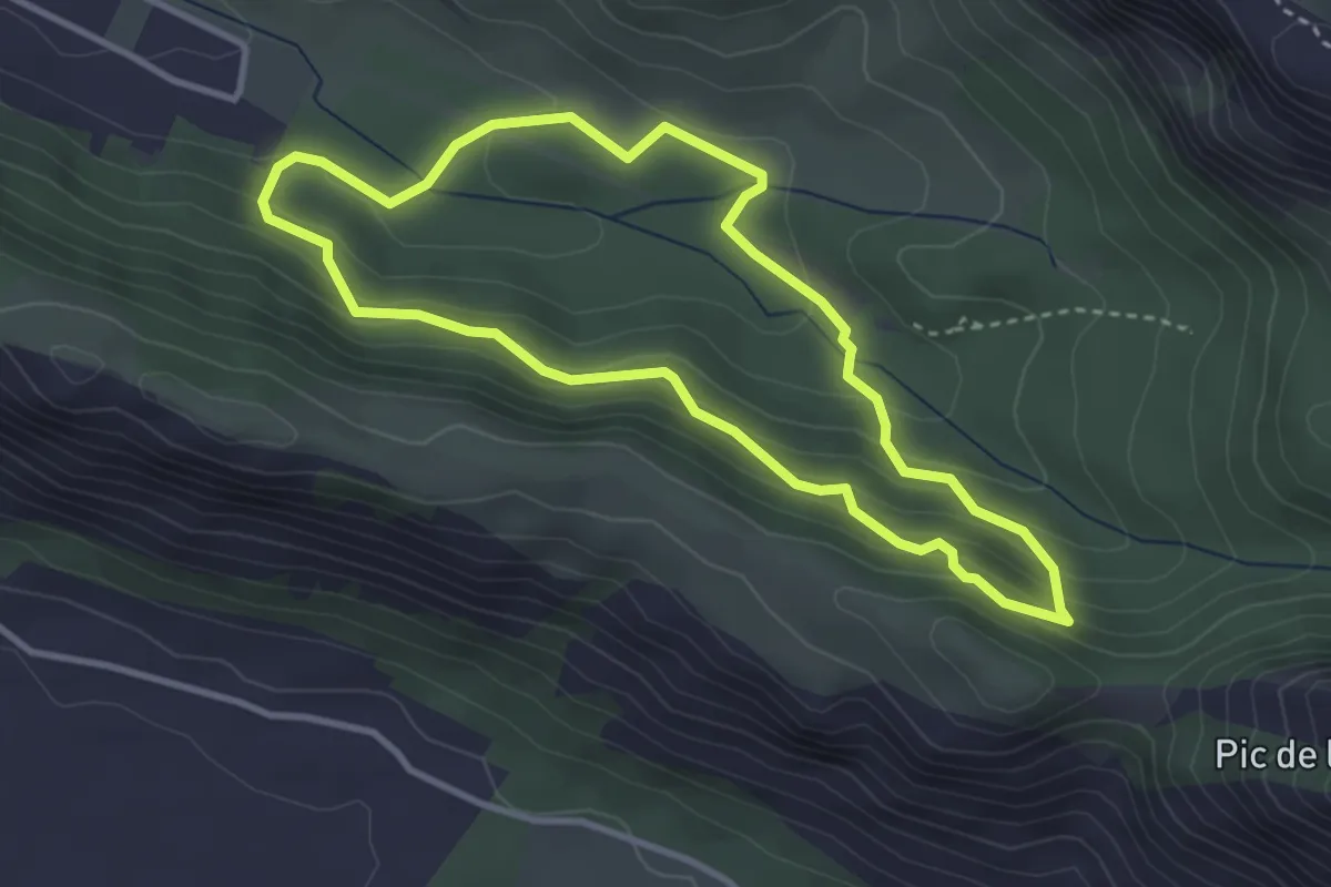
Easy · Trail
Senda Botànica
3.6 km · ↑ 220 m · 1 h 23 min · 10 km away
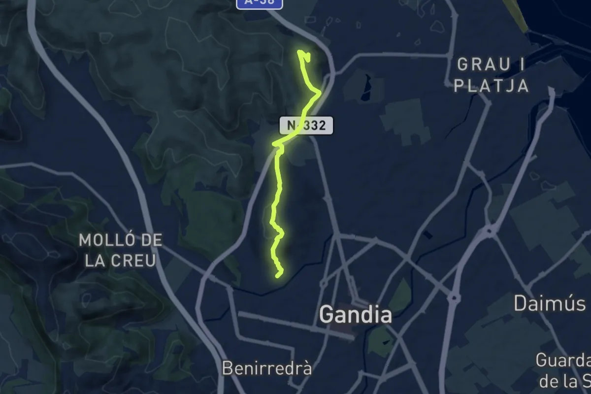
Easy · Trail
Al castell de Bailen
7.2 km · ↑ 233 m · 2 h 13 min · 11 km away
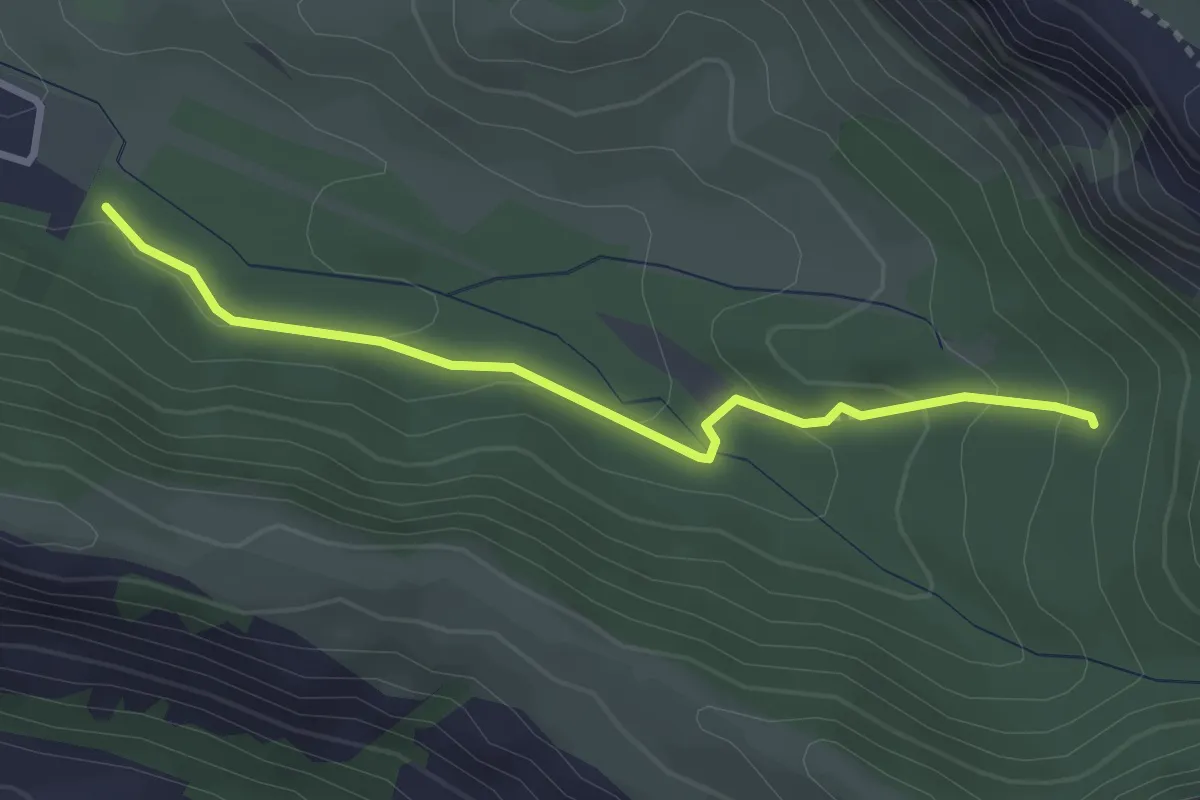
Medium · Trail
Senda Històrica
3.3 km · ↑ 115 m · 1 h 2 min · 11 km away
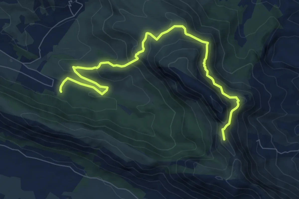
Medium · Summit
Cavall Bernat - Itinerari panoràmic
10.4 km · ↑ 699 m · 3 h 58 min · 11 km away
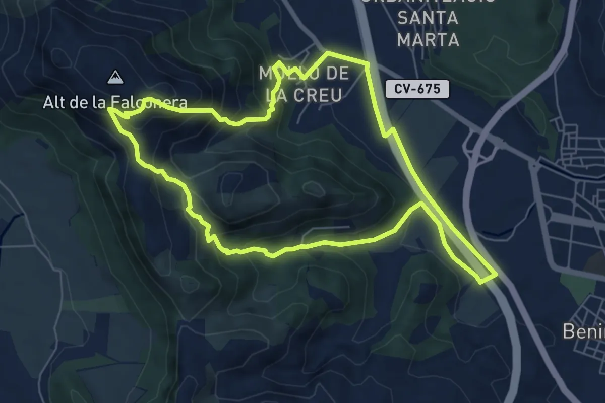
Medium · Summit
Ruta del molló de la creu
6.7 km · ↑ 383 m · 2 h 30 min · 12 km away
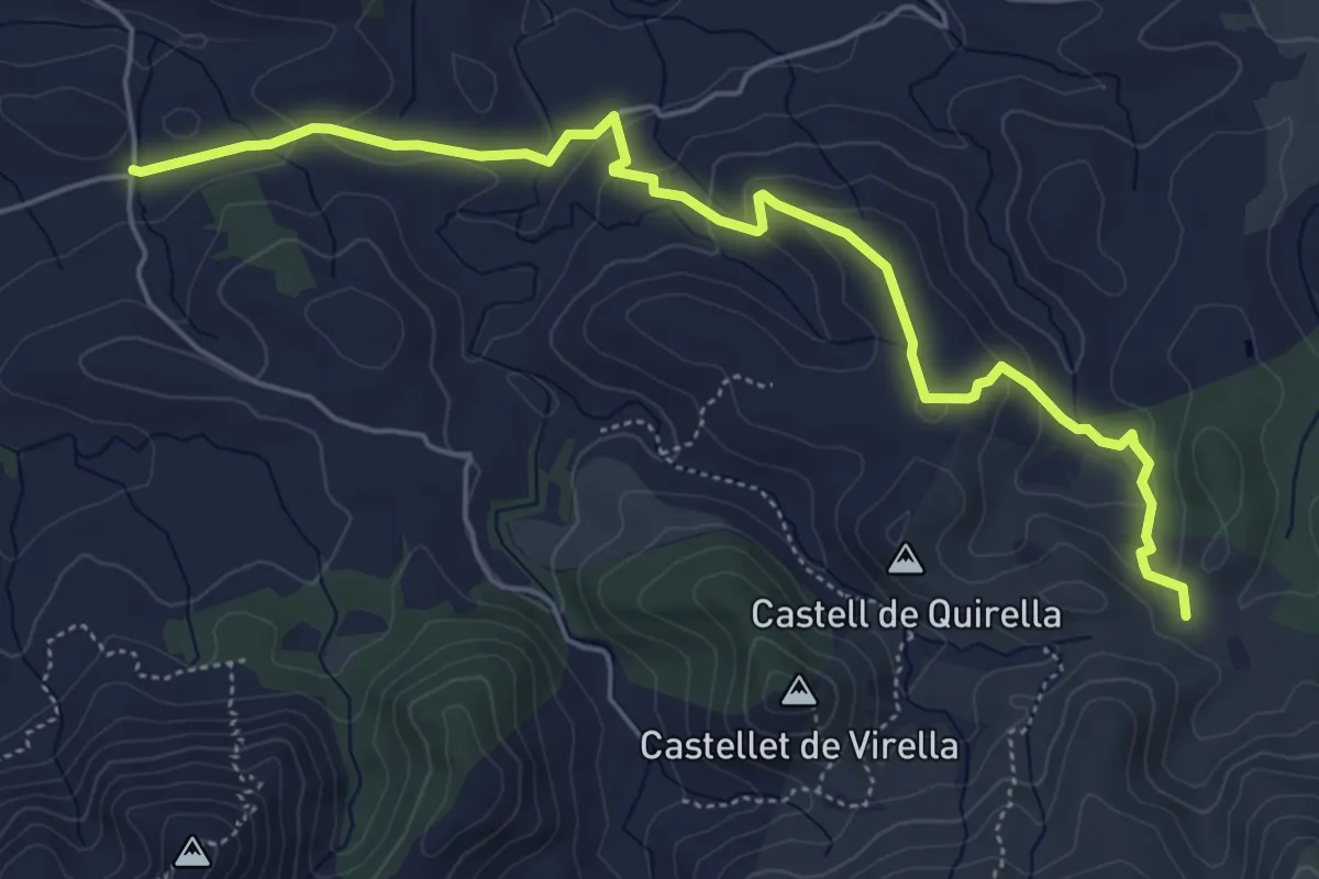
Easy · Trail
Derivació 3.1
6.8 km · ↑ 258 m · 2 h 10 min · 13 km away
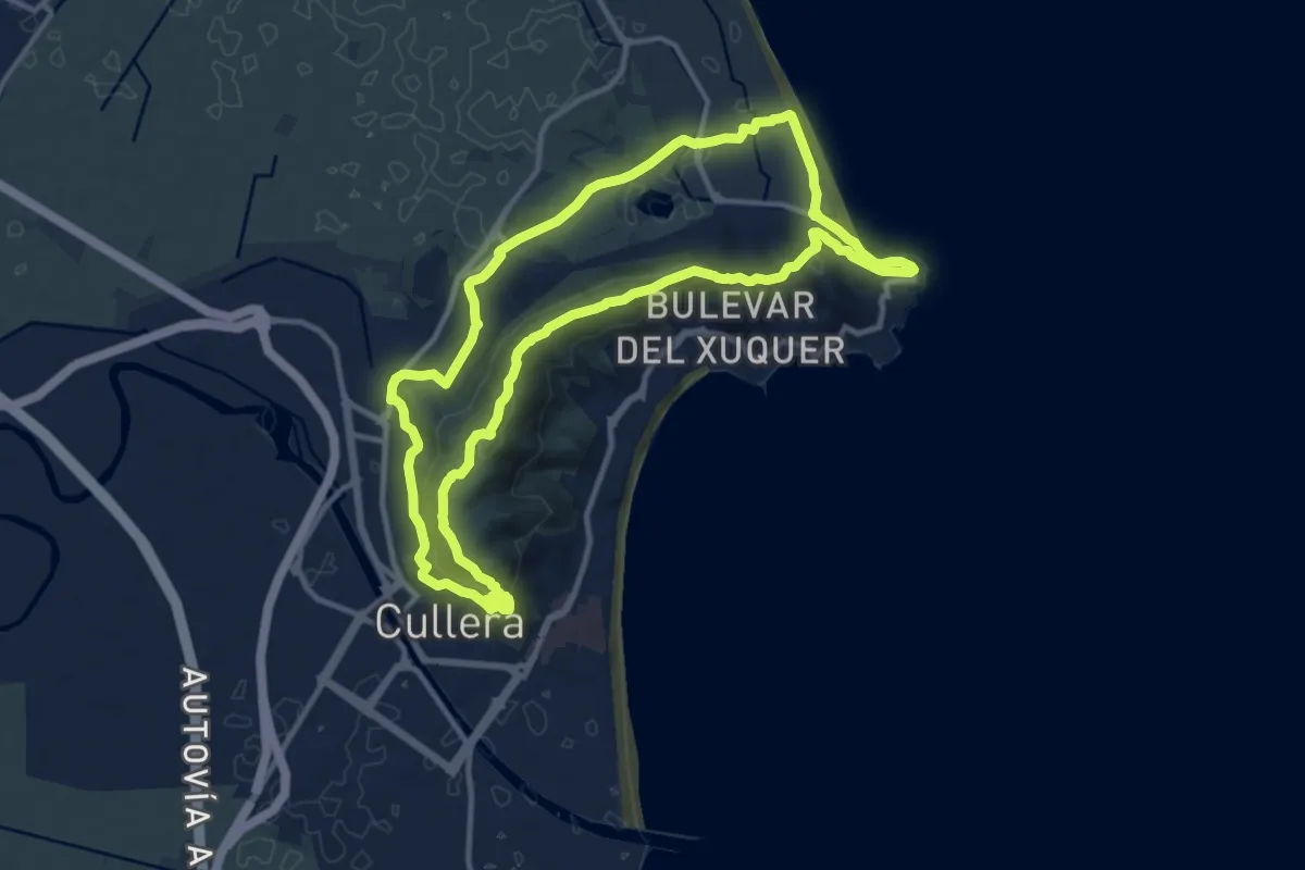
Medium · Summit
Senda de la Lloma - Muntanya de Cullera
13.4 km · ↑ 368 m · 4 h 9 min · 14 km away
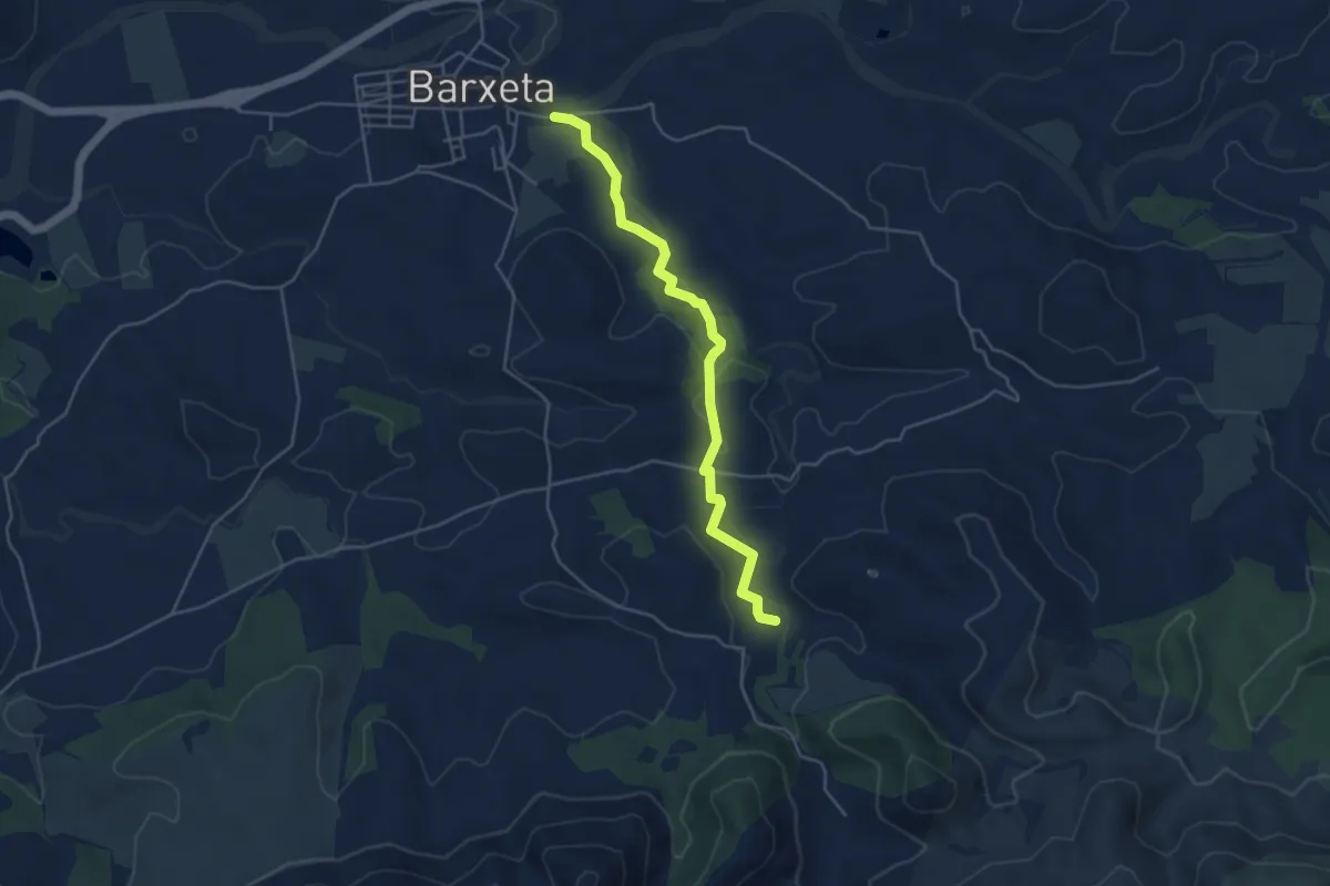
Easy · Trail
Derivació 3.3
5.1 km · ↑ 105 m · 1 h 26 min · 14 km away
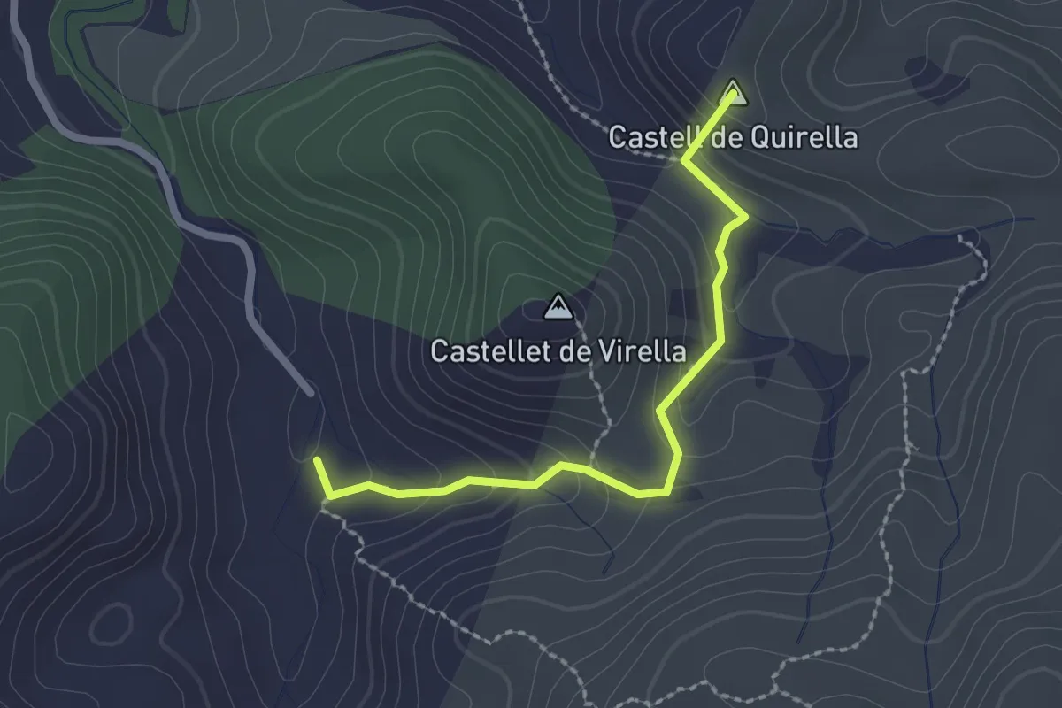
Medium · Summit
Variante 1.2
2.3 km · ↑ 164 m · 55 min · 14 km away
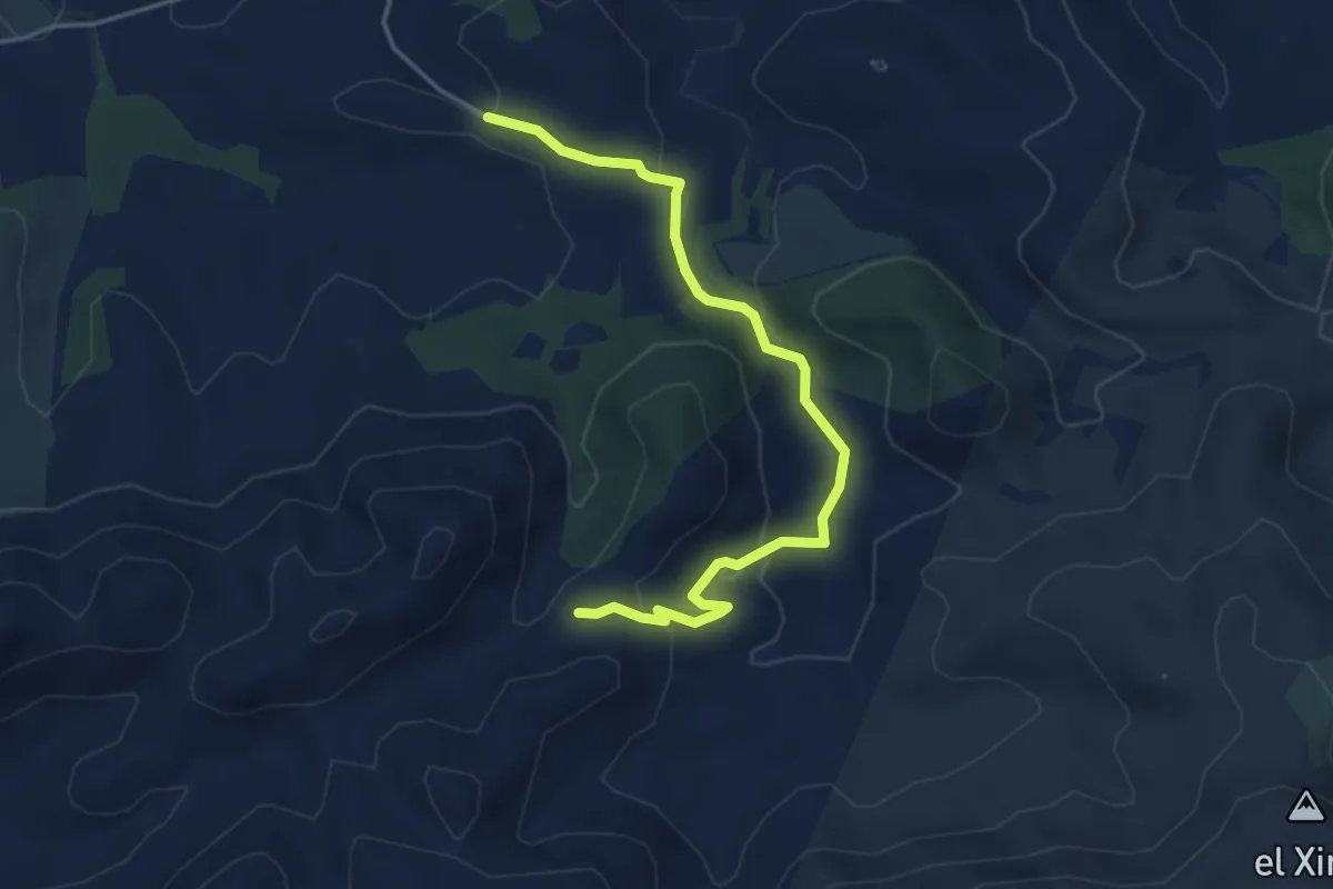
Easy · Trail
Variante 1.1
5.0 km · ↑ 121 m · 1 h 27 min · 15 km away
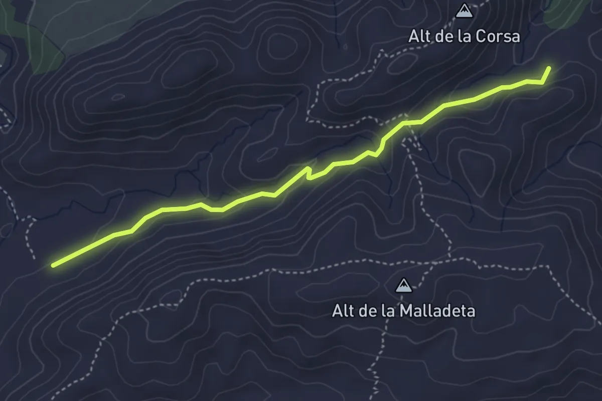
Easy · Trail
Variante 2.1
4.6 km · ↑ 126 m · 1 h 21 min · 15 km away