Trails near Torrejón de Ardoz
17 hikes starting within 15 km, nearest first.
Nearest first
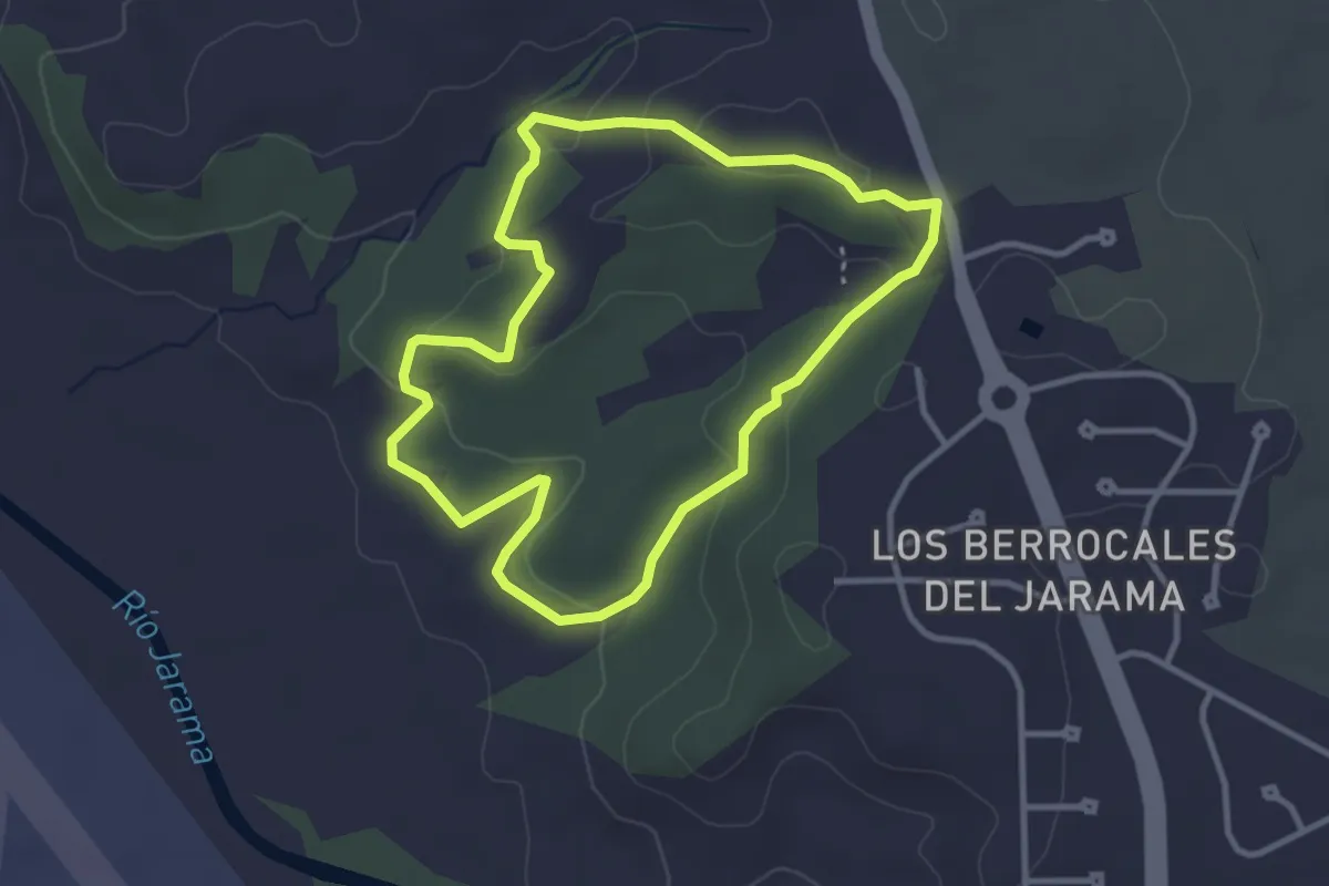
Easy · Trail
El Pinar de Los Berrocales
3.5 km · ↑ 85 m · 1 h 3 min · 5 km away
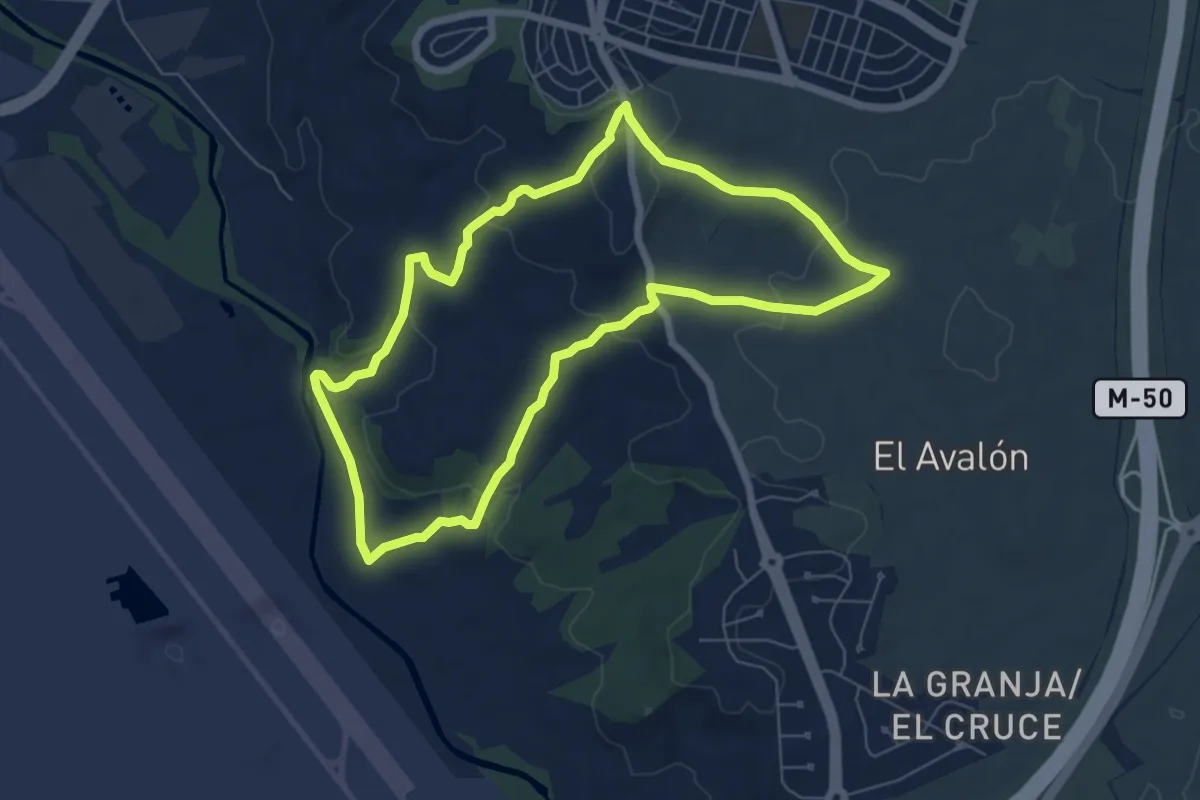
Easy · Trail
Los Valles y Las Peñuelas
7.2 km · ↑ 161 m · 2 h 8 min · 5 km away
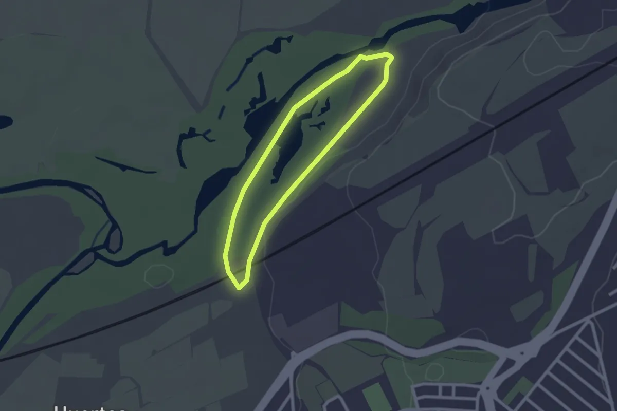
Easy · Trail
Senda Laguna de las Islillas
2.1 km · ↑ 4 m · 32 min · 6 km away
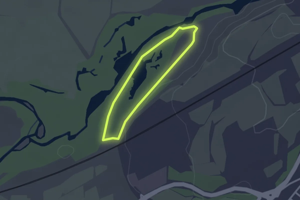
Easy · Trail
Paseo por las lagunas y la presa del río Henares
1.9 km · ↑ 4 m · 30 min · 6 km away
Easy · Trail
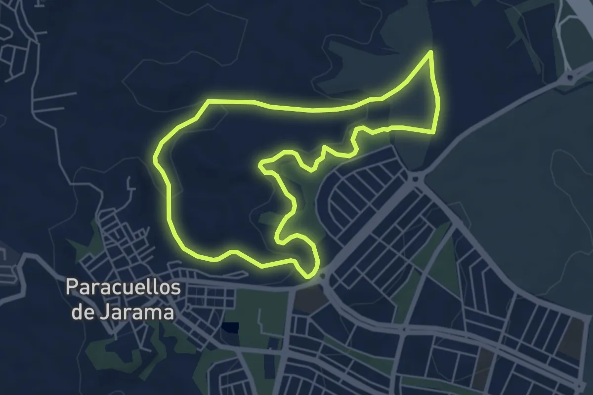
El Lavadero y Las Guindaleras
5.5 km · ↑ 107 m · 1 h 36 min · 7 km away
Easy · Trail
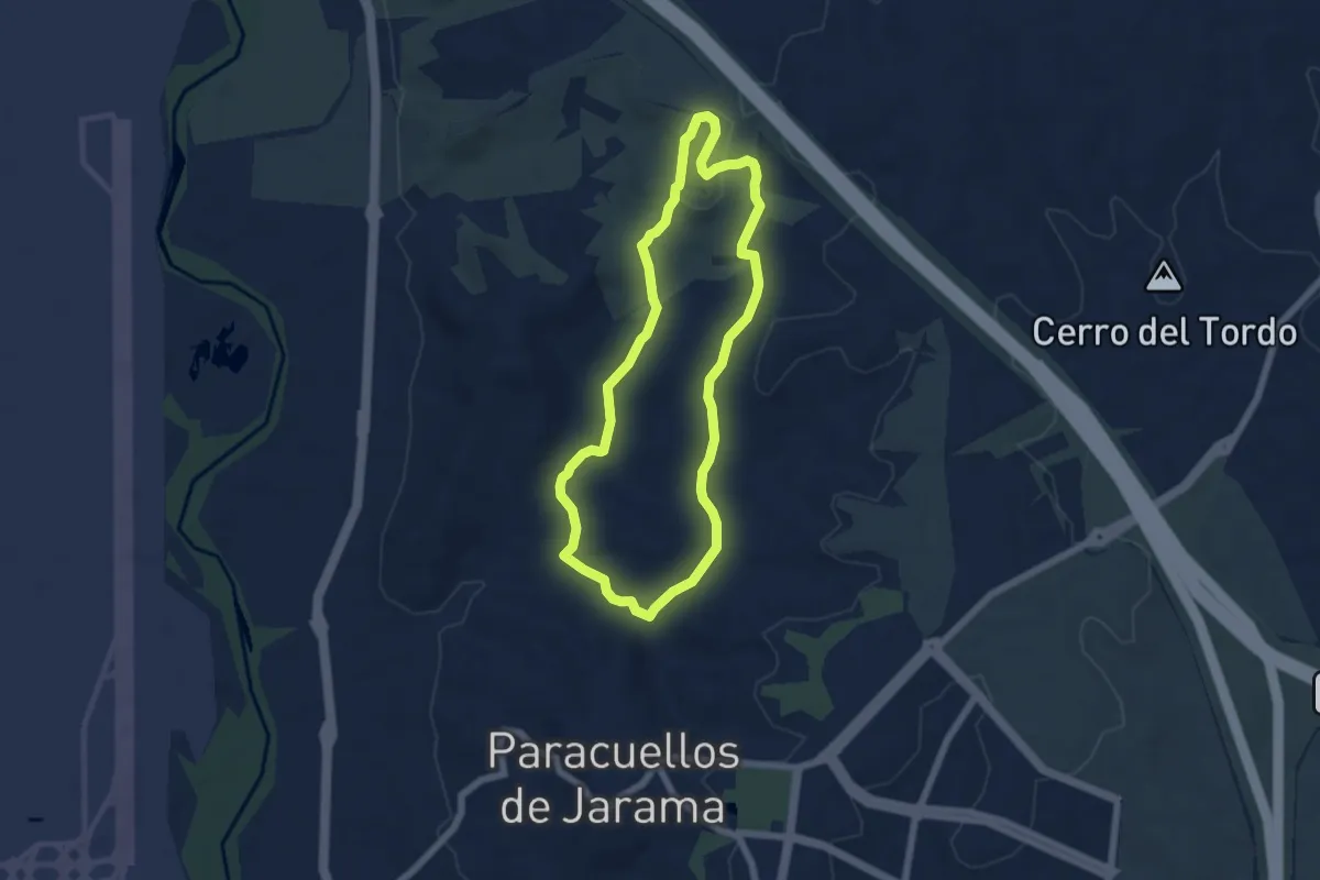
Leganitos - Cerro de La Mesilla
6.1 km · ↑ 140 m · 1 h 49 min · 8 km away
Easy · Trail
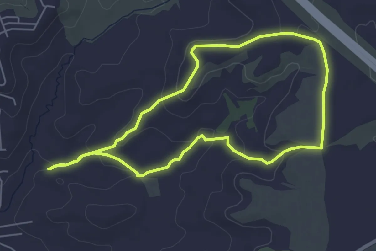
Leganitos - Barrancos de las Viñas
4.9 km · ↑ 110 m · 1 h 27 min · 8 km away
Demanding · Trail
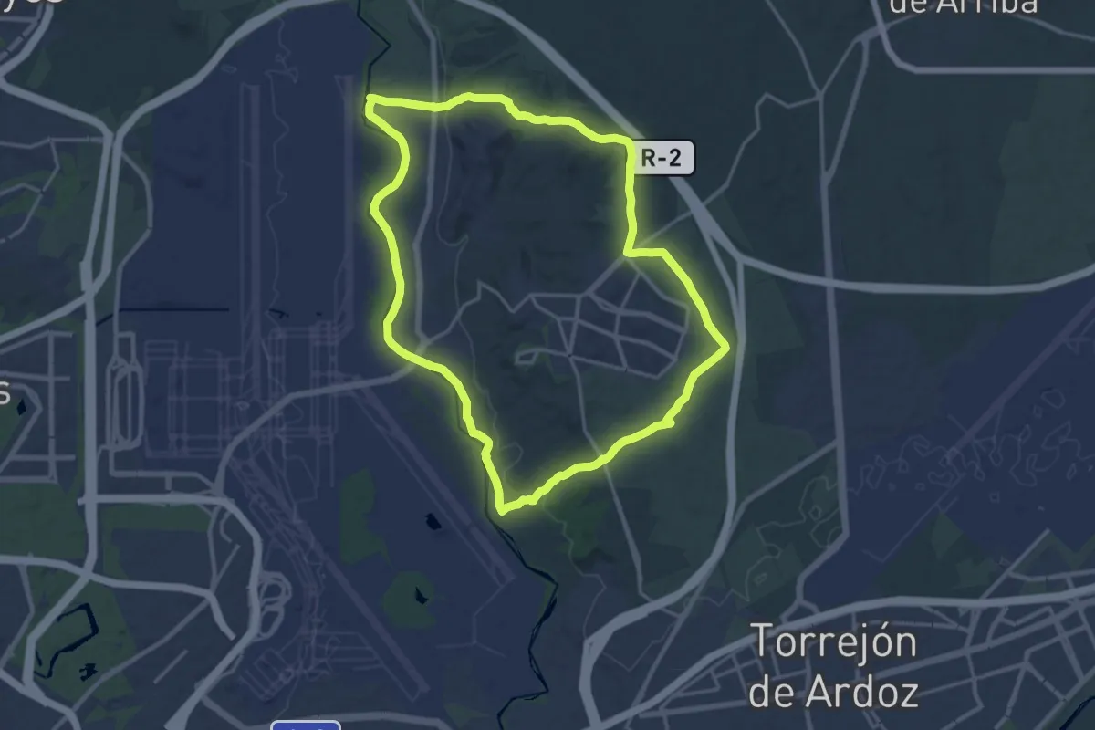
Circular de Paracuellos de Jarama
18.9 km · ↑ 163 m · 5 h 5 min · 10 km away
Medium · Trail
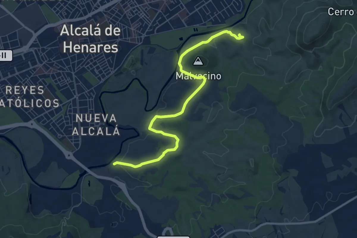
Ruta del Castillo Árabe
9.4 km · ↑ 183 m · 2 h 36 min · 10 km away
Medium · Summit
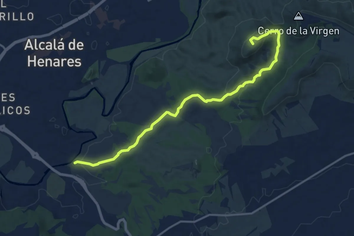
Ruta del Ecce-Homo
11.2 km · ↑ 241 m · 3 h 10 min · 10 km away
Easy · Trail
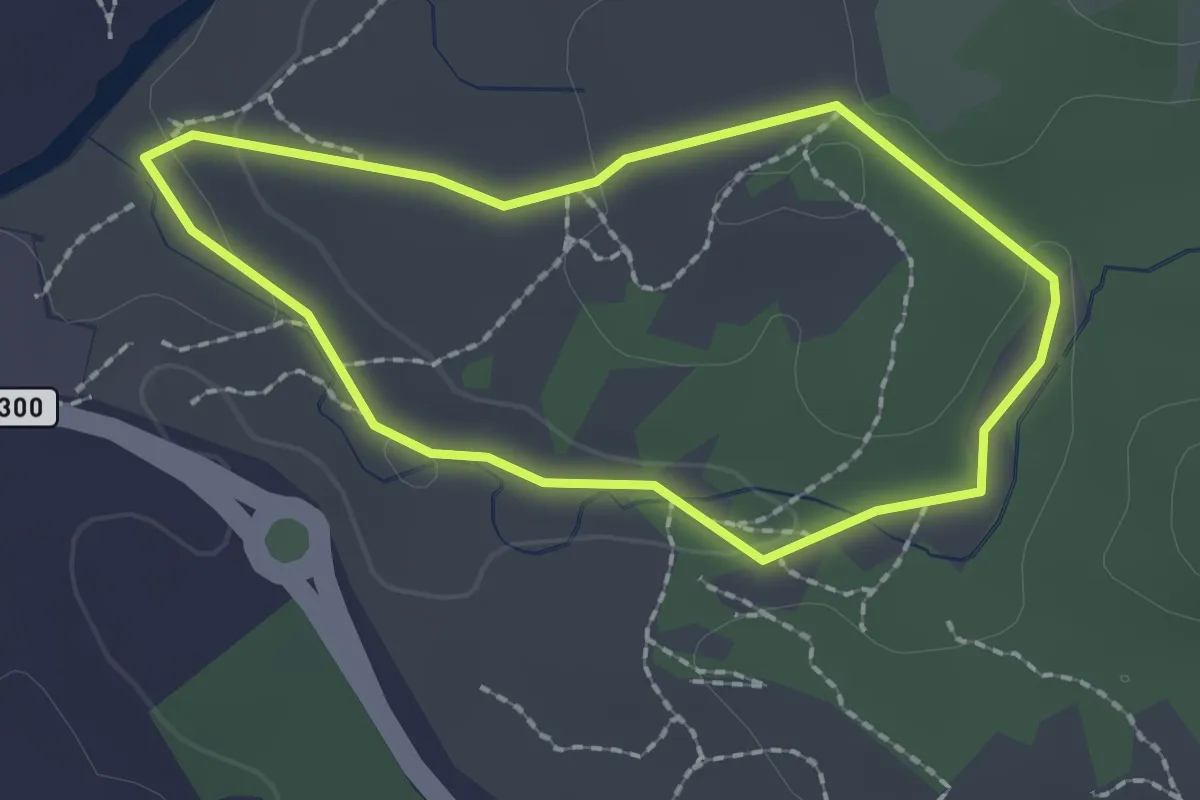
Ruta de los Tarayes
2.0 km · ↑ 34 m · 34 min · 10 km away
Easy · Trail
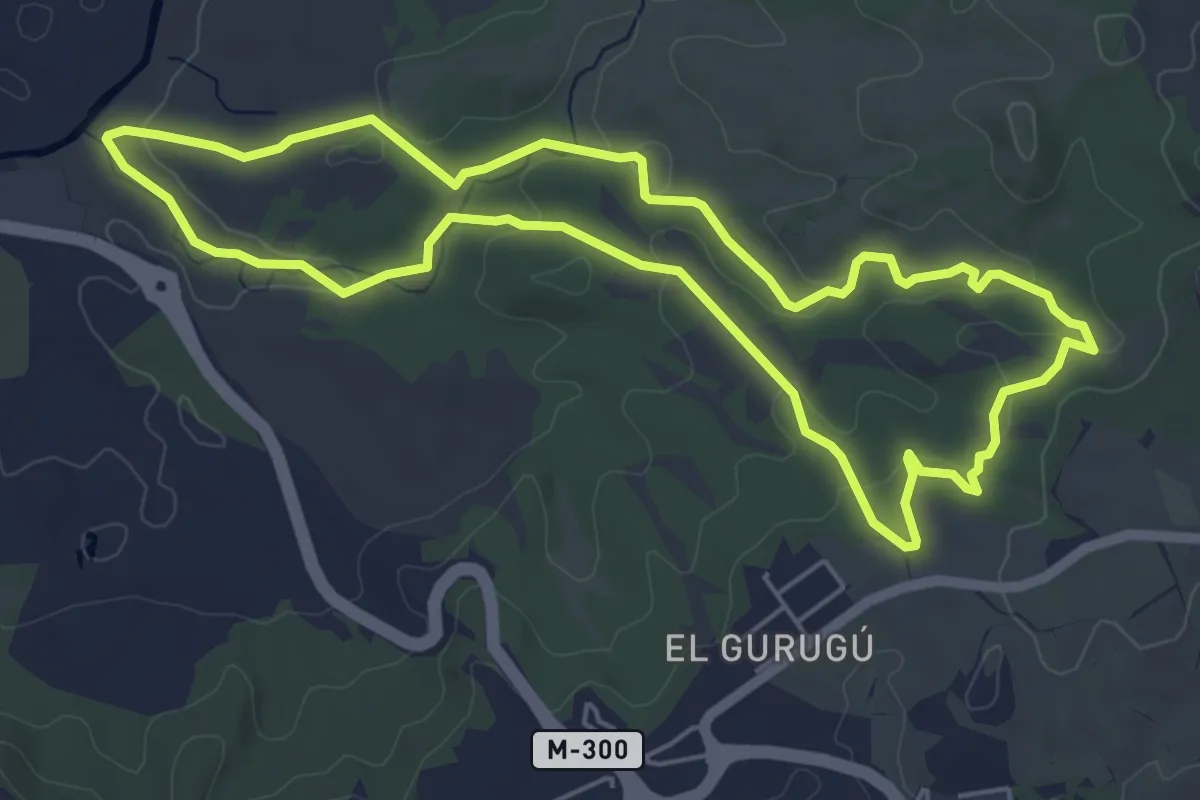
Ruta de la Puerta Verde
6.1 km · ↑ 137 m · 1 h 50 min · 10 km away
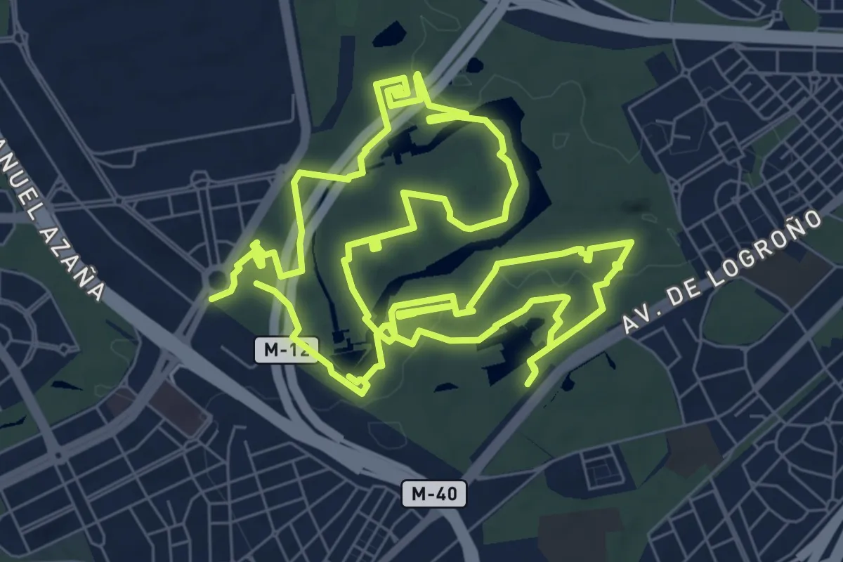
Medium · Trail
Senda de las Esculturas
9.8 km · ↑ 68 m · 2 h 37 min · 11 km away
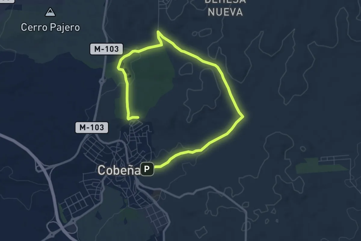
Medium · Trail
Ruta 2: Valle de Arriba y la Dehesa de Cobeña
11.7 km · ↑ 166 m · 3 h 8 min · 12 km away
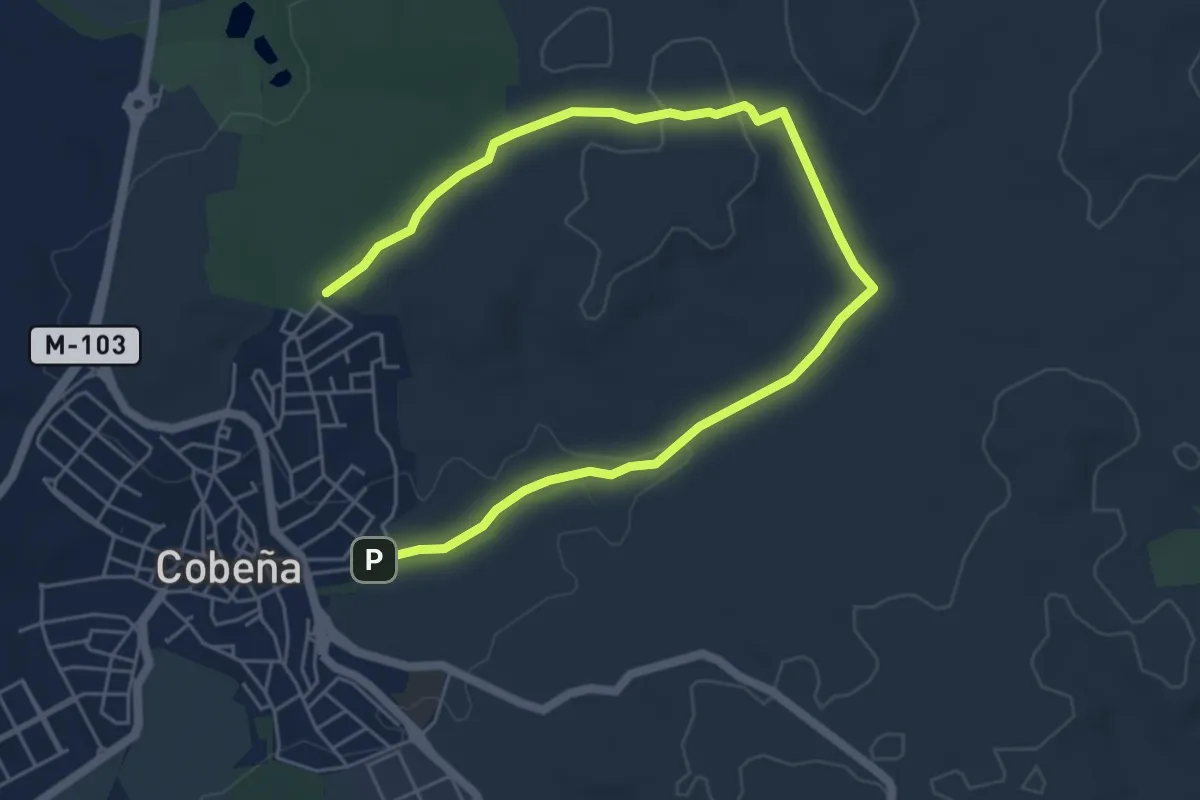
Medium · Trail
Ruta 4: Valle de Arriba y el Alfalfar
8.1 km · ↑ 118 m · 2 h 10 min · 12 km away
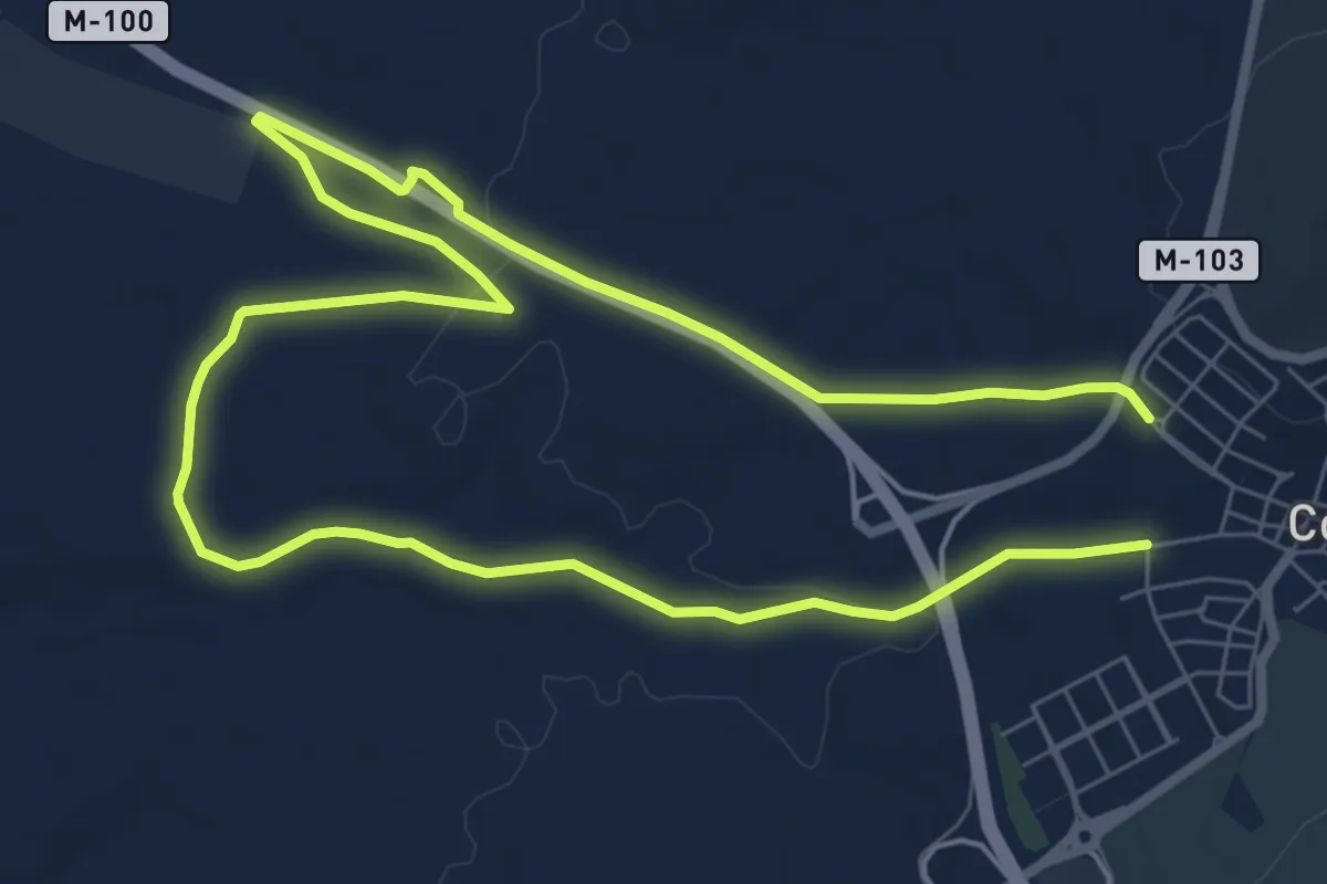
Medium · Trail
Ruta 1: Valle de Abajo y de los medios cerealistas
14.6 km · ↑ 143 m · 3 h 46 min · 13 km away
Easy · Trail
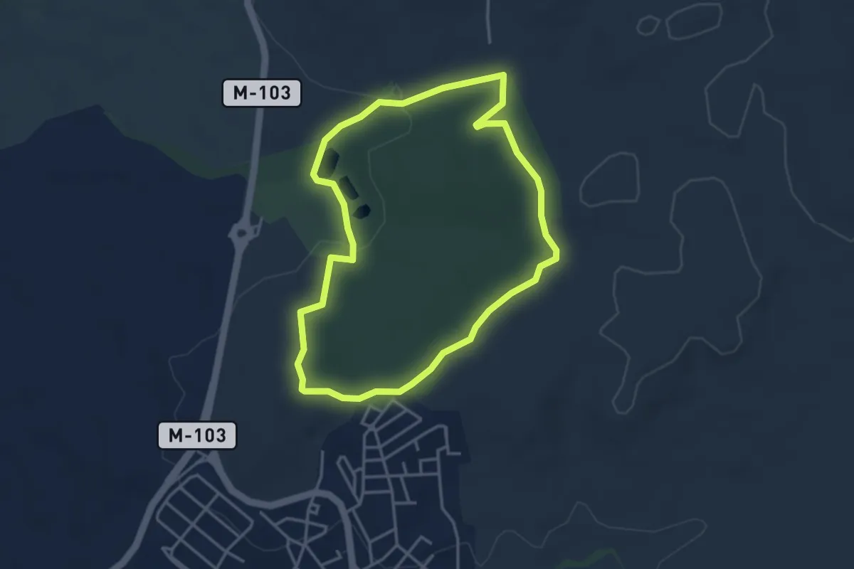
Ruta 3: Dehesa de Cobeña
3.8 km · ↑ 65 m · 1 h 6 min · 13 km away