Trails near Torroella de Montgrí
18 hikes starting within 15 km, nearest first.
Nearest first
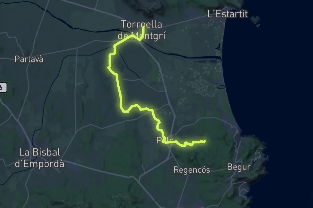
Demanding · Summit
Catalunya E07
34.7 km · ↑ 351 m · 8 h 57 min · under 1 km away
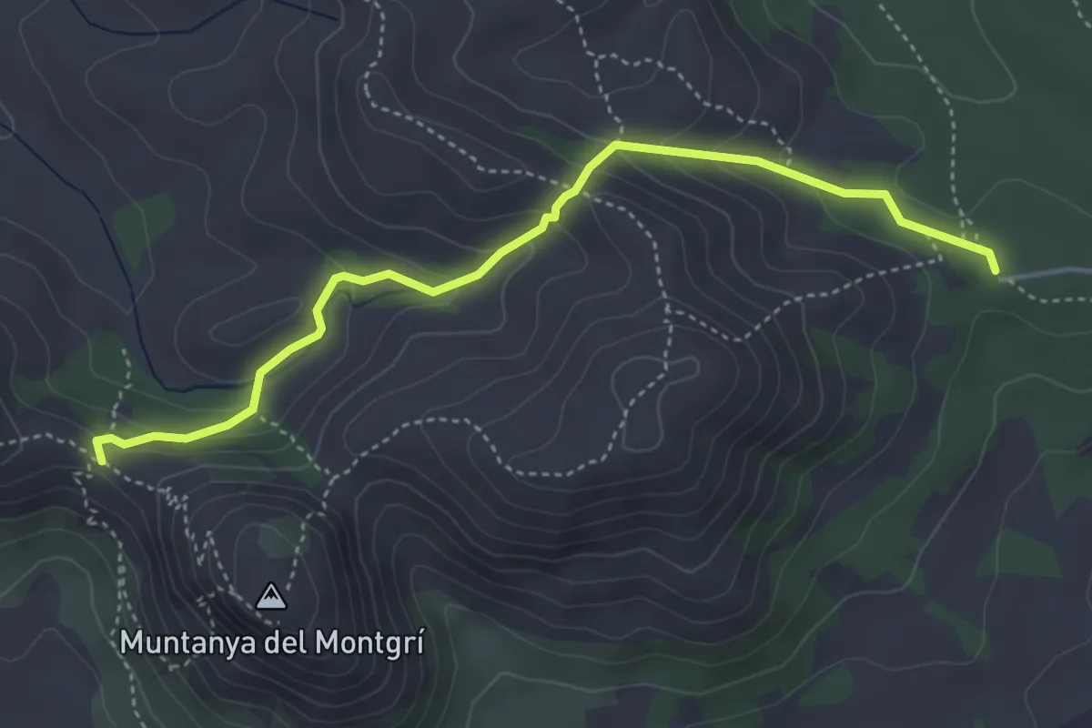
Medium · Trail
Coll de la Creu
4.8 km · ↑ 254 m · 1 h 41 min · 2 km away
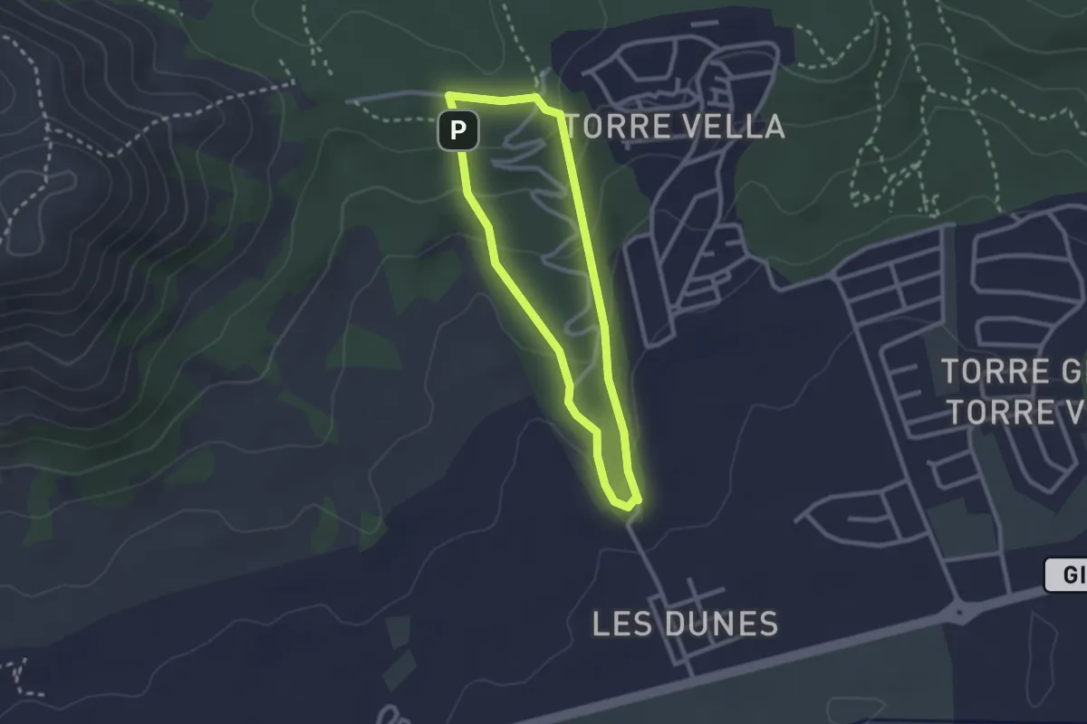
Easy · Trail
Les Dunes
2.3 km · ↑ 90 m · 47 min · 3 km away
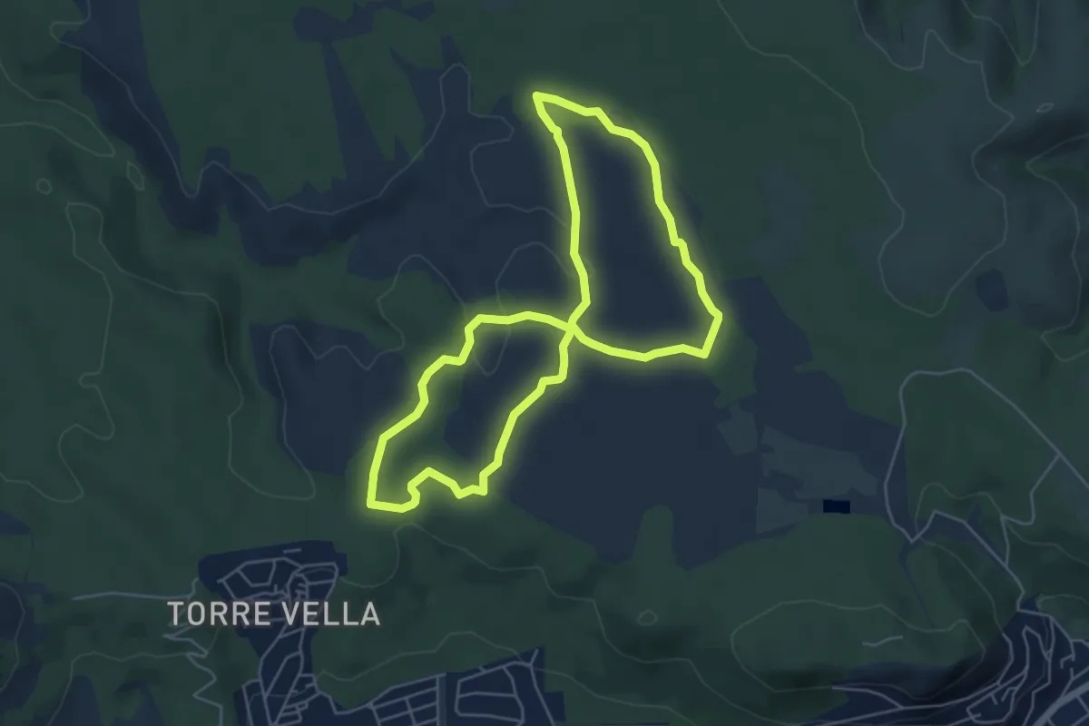
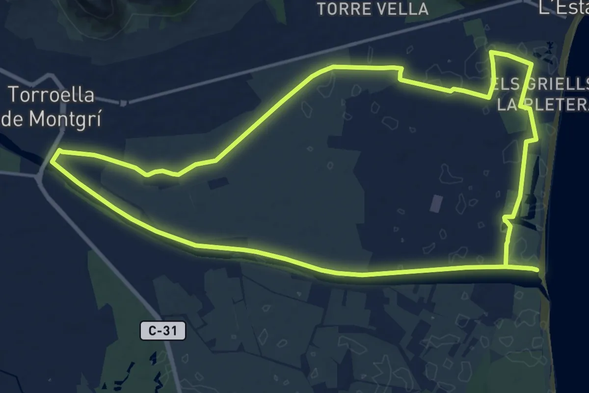
Easy · Trail
Ruta del Vent
5.5 km · ↑ 51 m · 1 h 30 min · 4 km away
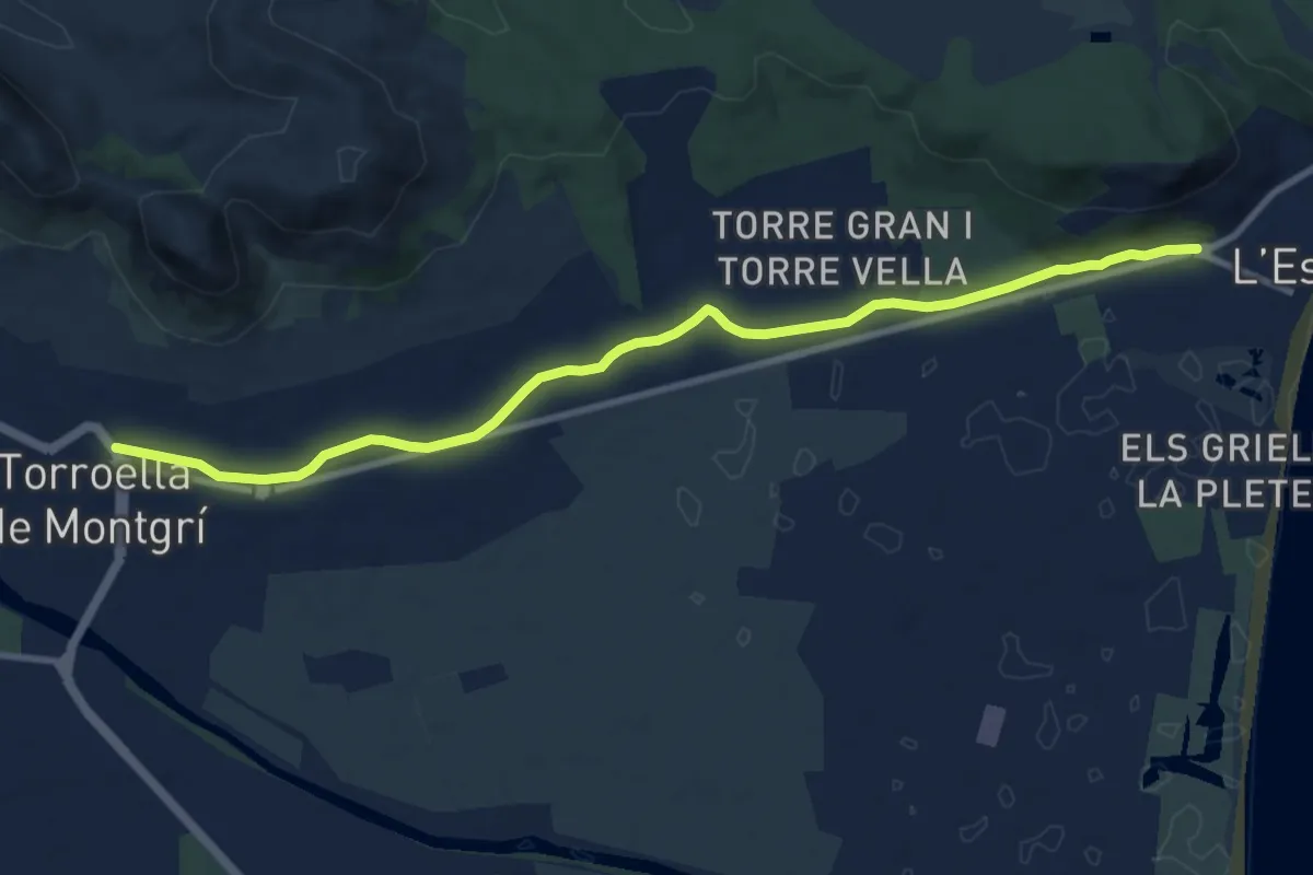
Medium · Trail
Sender de Torroella de Montgrí
15.5 km · ↑ 4 m · 3 h 54 min · 5 km away
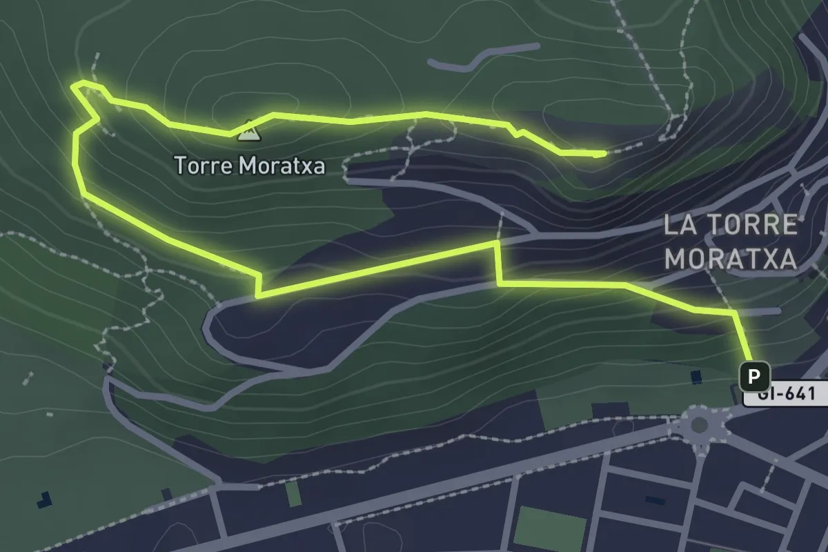
Medium · Trail
El Montgí Illes Medes i Baix Ter
11.4 km · ↑ 40 m · 2 h 46 min · 6 km away
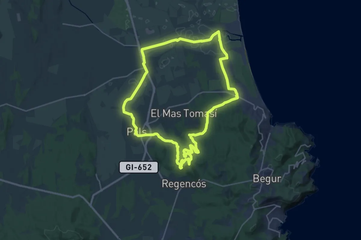
Medium · Summit
Salt d'Euga
4.3 km · ↑ 303 m · 1 h 41 min · 6 km away
Demanding · Summit
Sender de Pals
20.4 km · ↑ 293 m · 5 h 43 min · 6 km away
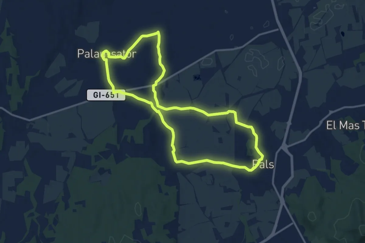
Medium · Trail
Pals-Palau-sator
10.3 km · ↑ 77 m · 2 h 44 min · 6 km away
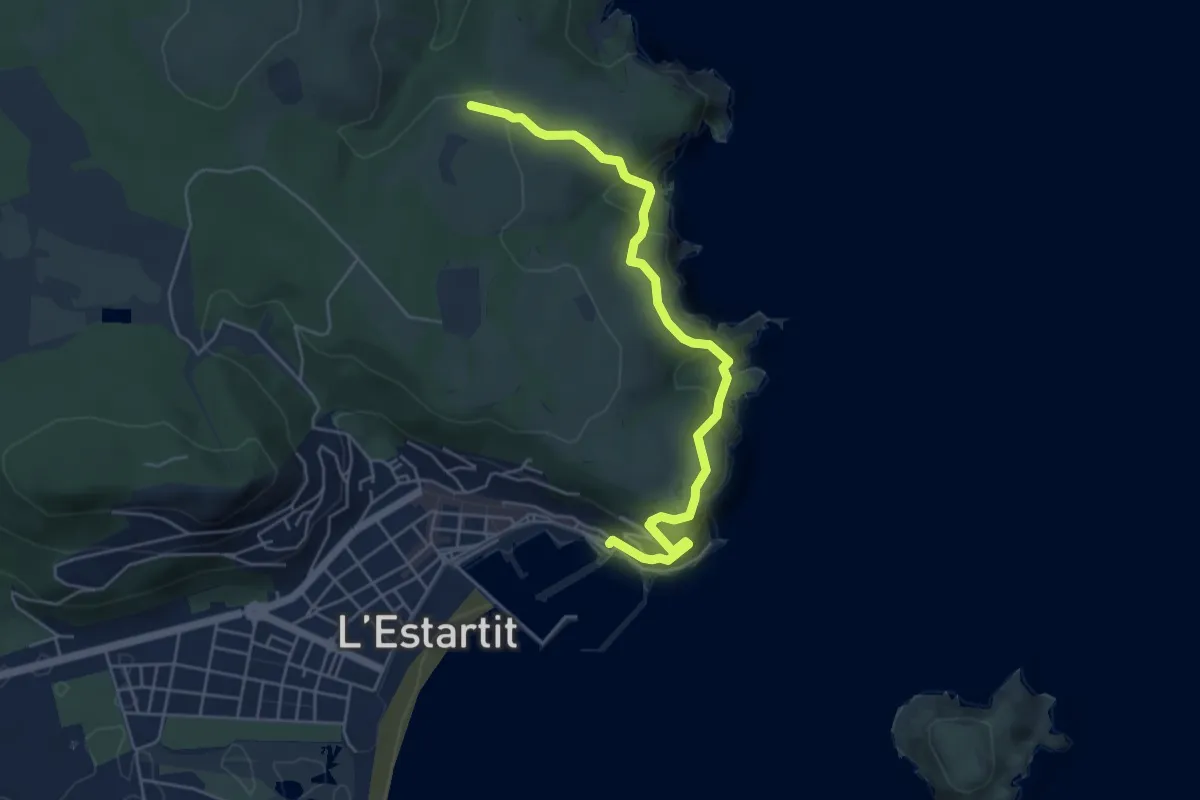
Demanding · Trail
Torre del Vent
5.7 km · ↑ 437 m · 2 h 18 min · 7 km away
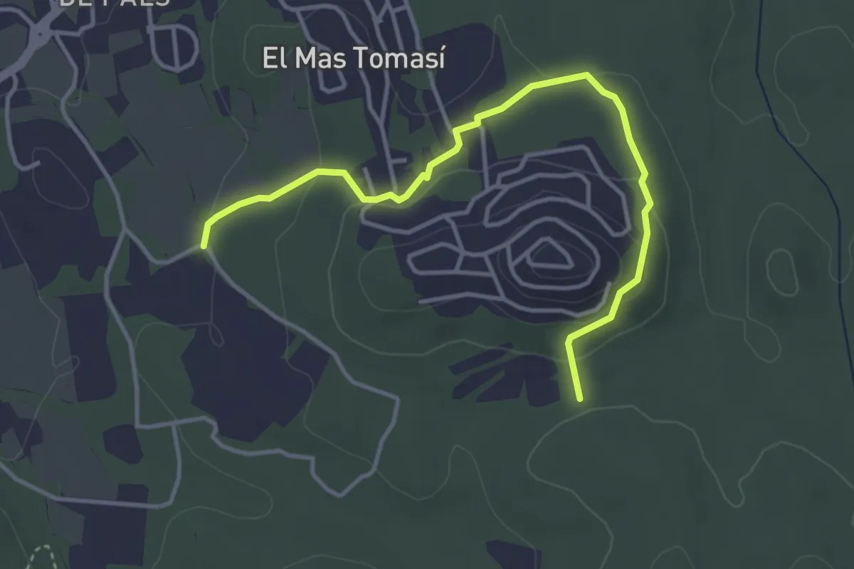
Easy · Trail
Can Pou de ses Garites
4.4 km · ↑ 120 m · 1 h 18 min · 8 km away
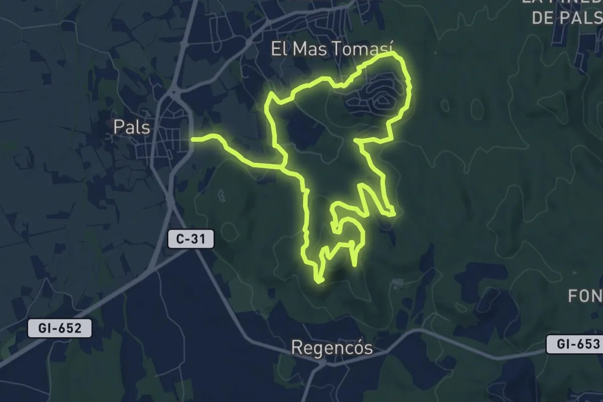
Medium · Summit
Pals al Quermany Gros i mines d'en Bofill
10.8 km · ↑ 293 m · 3 h 20 min · 8 km away
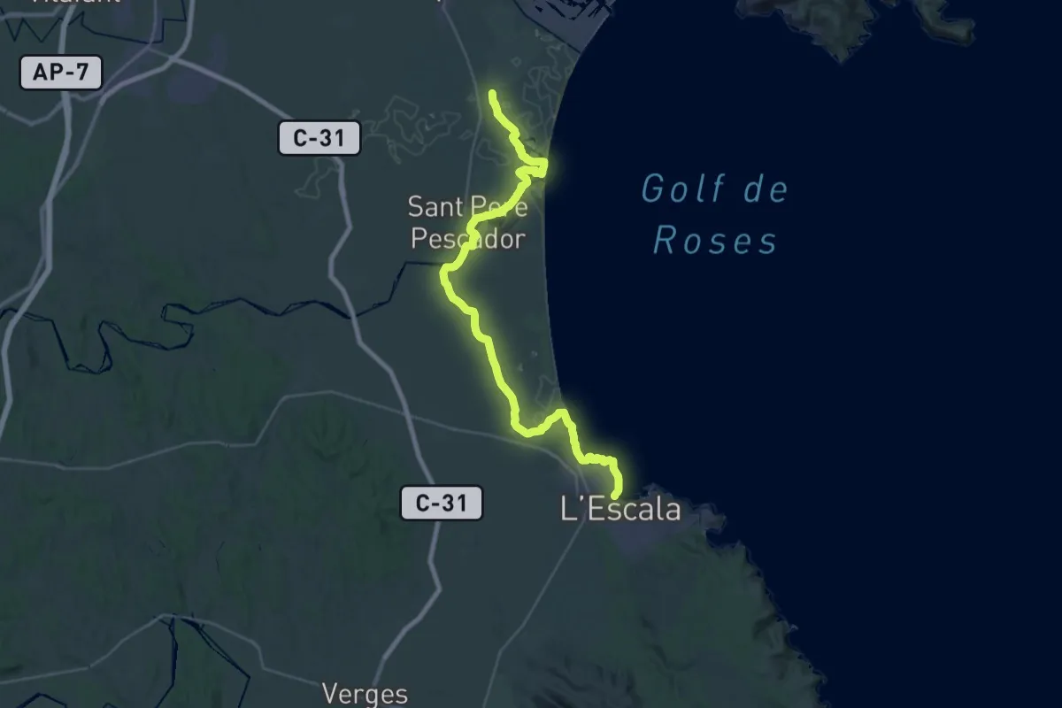
Demanding · Trail
Catalunya E05
20.1 km · ↑ 40 m · 5 h 6 min · 8 km away
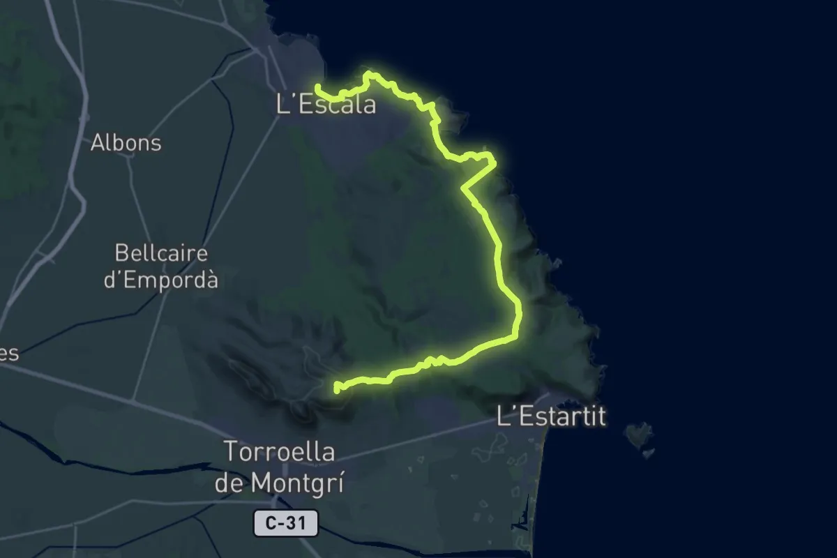
Demanding · Summit
Catalunya E06
31.2 km · ↑ 651 m · 8 h 47 min · 8 km away
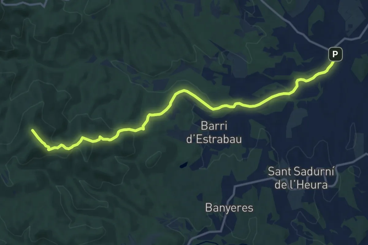
Medium · Summit
Monells - Quart
12.6 km · ↑ 342 m · 3 h 43 min · 13 km away
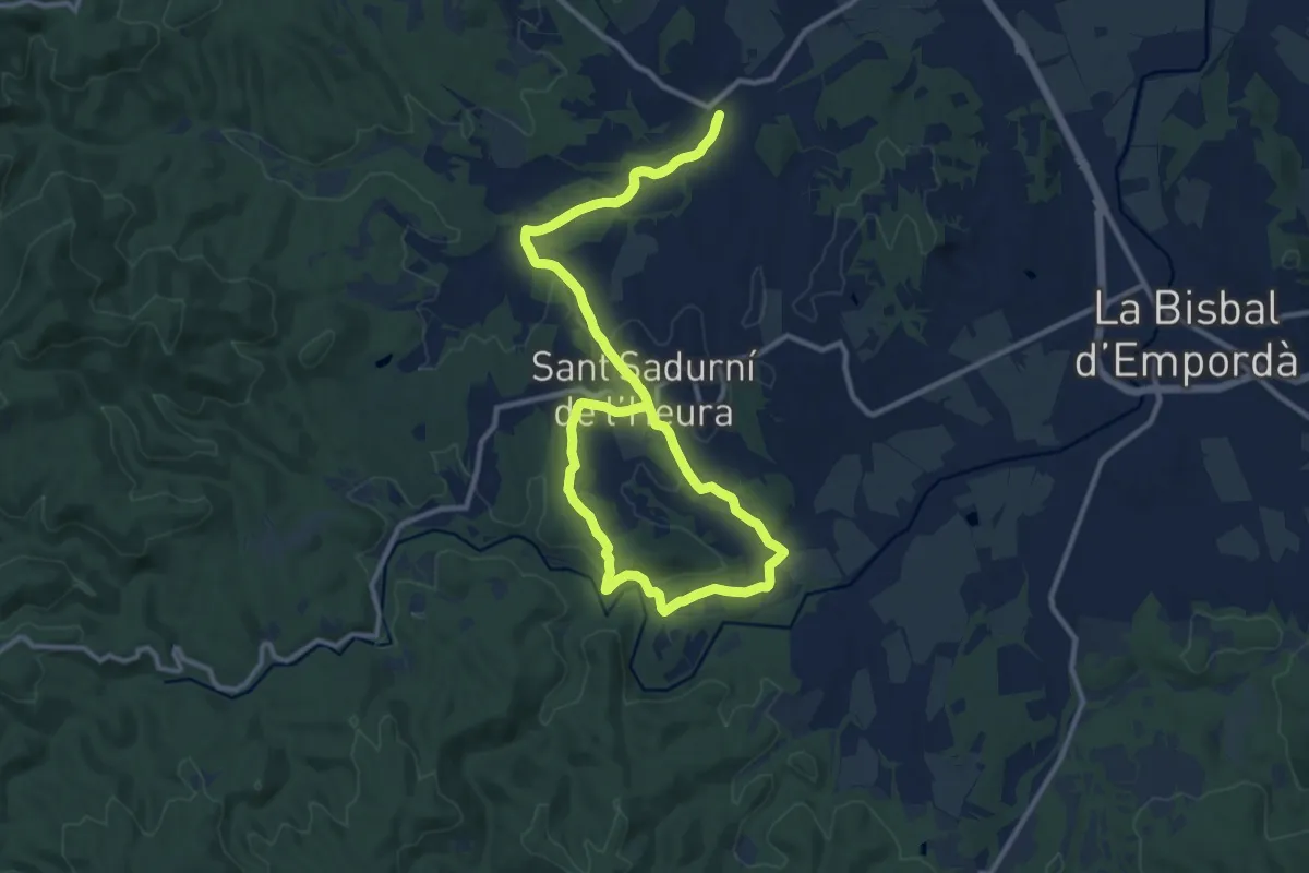
Medium · Trail
Monells a l'ermita de Sant Joan Salelles i el Molí d'en Frigola
12.5 km · ↑ 145 m · 3 h 27 min · 15 km away
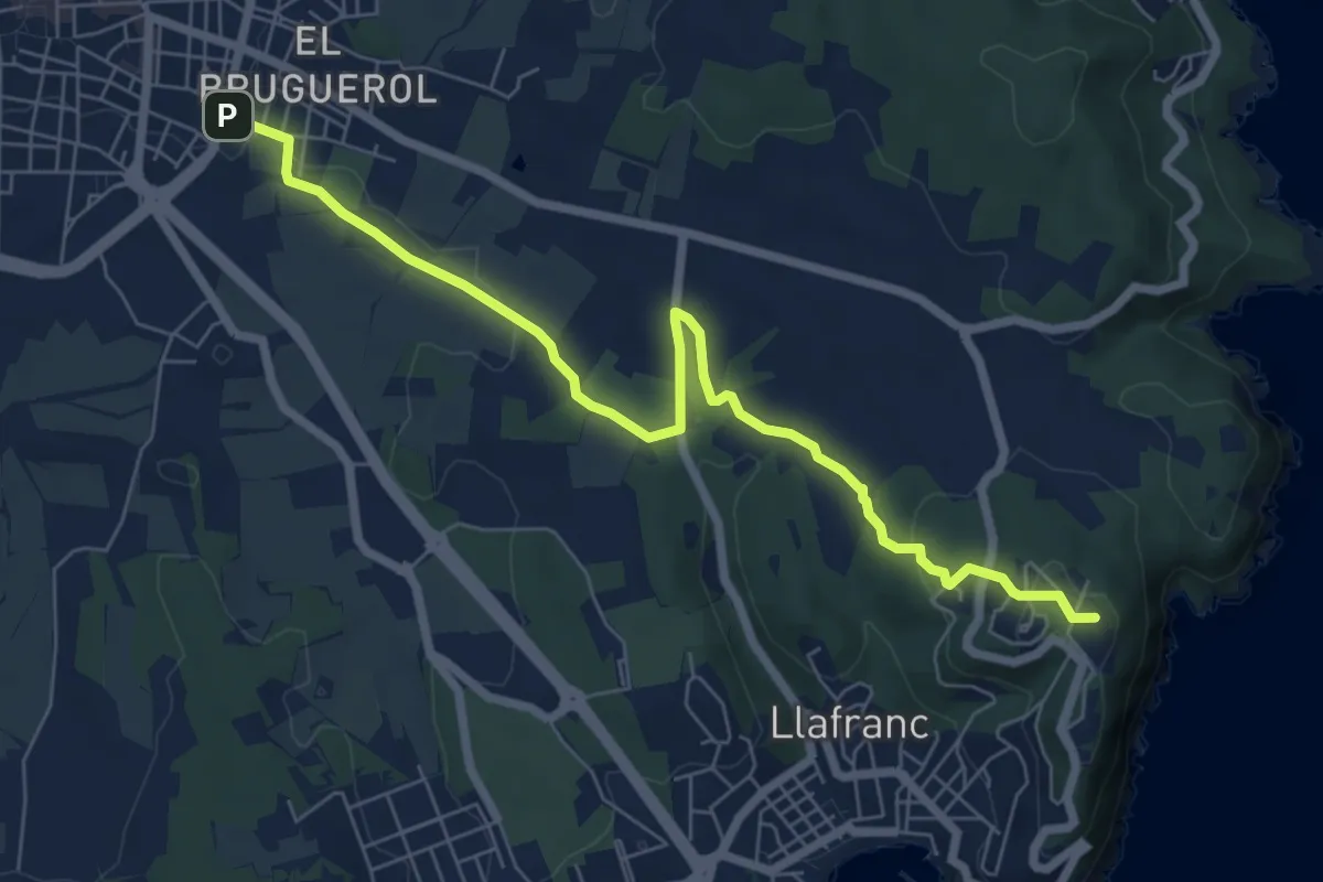
Medium · Summit
poblat ibèric de St. Sebastià de la Guàrdia
8.0 km · ↑ 131 m · 2 h 11 min · 15 km away
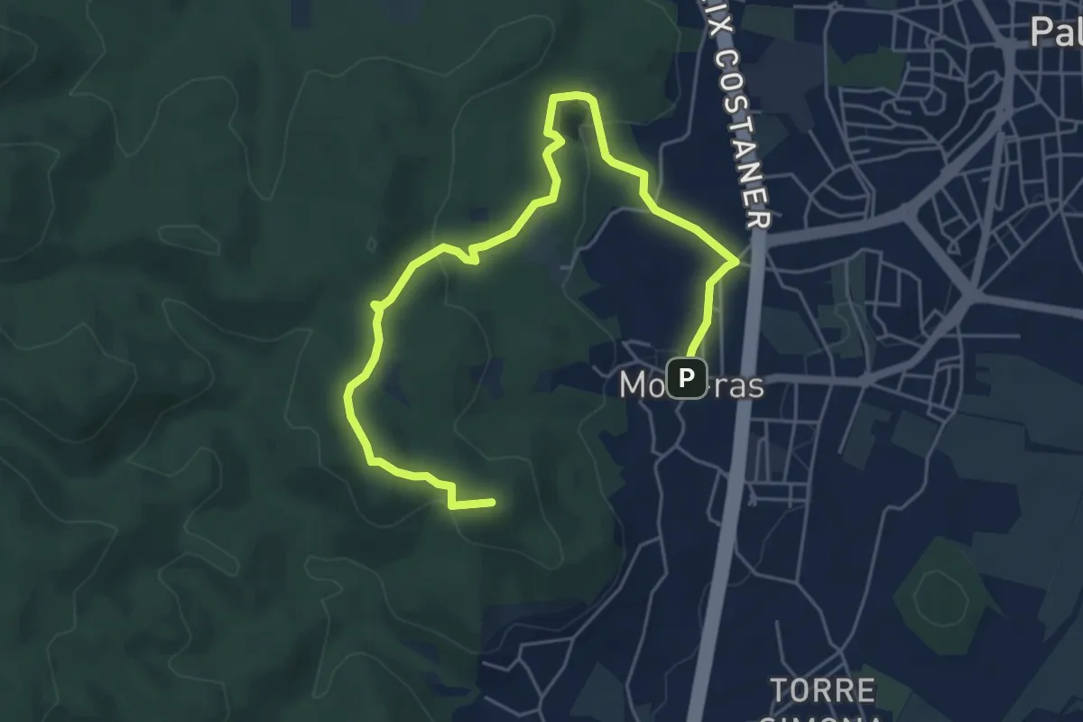
Easy · Summit
Mines de Mont-ras
7.1 km · ↑ 190 m · 2 h 5 min · 15 km away