Trails near Totana
25 hikes starting within 15 km, nearest first.
Nearest first
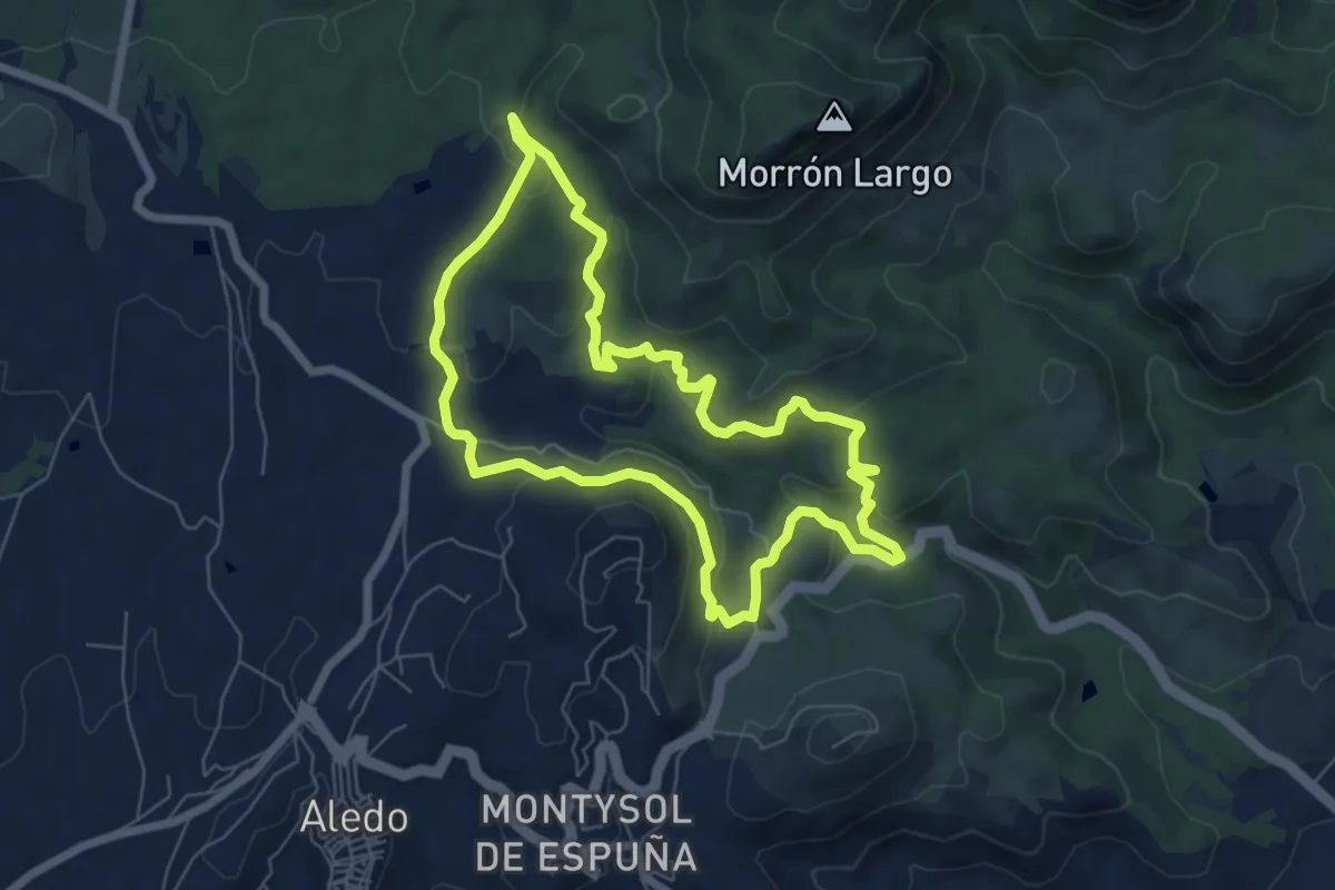
Easy · Summit
Sendero de la Santa
7.3 km · ↑ 261 m · 2 h 24 min · 7 km away
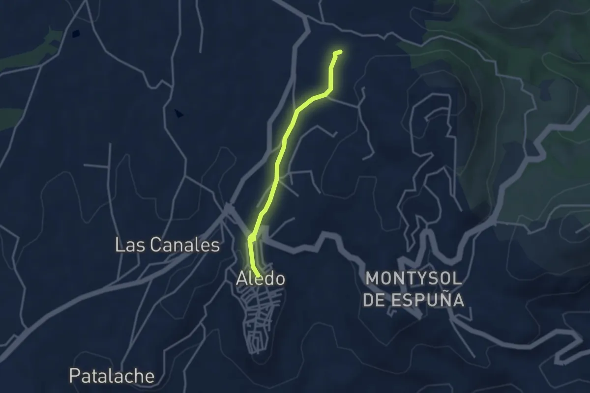
Easy · Trail
Variante a Aledo
3.0 km · ↑ 43 m · 48 min · 7 km away
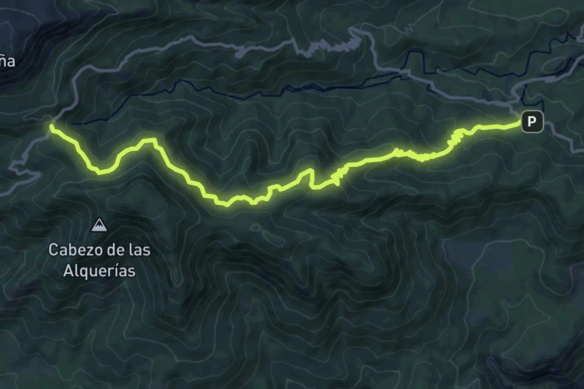
Medium · Trail
Umbría de Peña Apartada
14.9 km · ↑ 753 m · 5 h 10 min · 10 km away
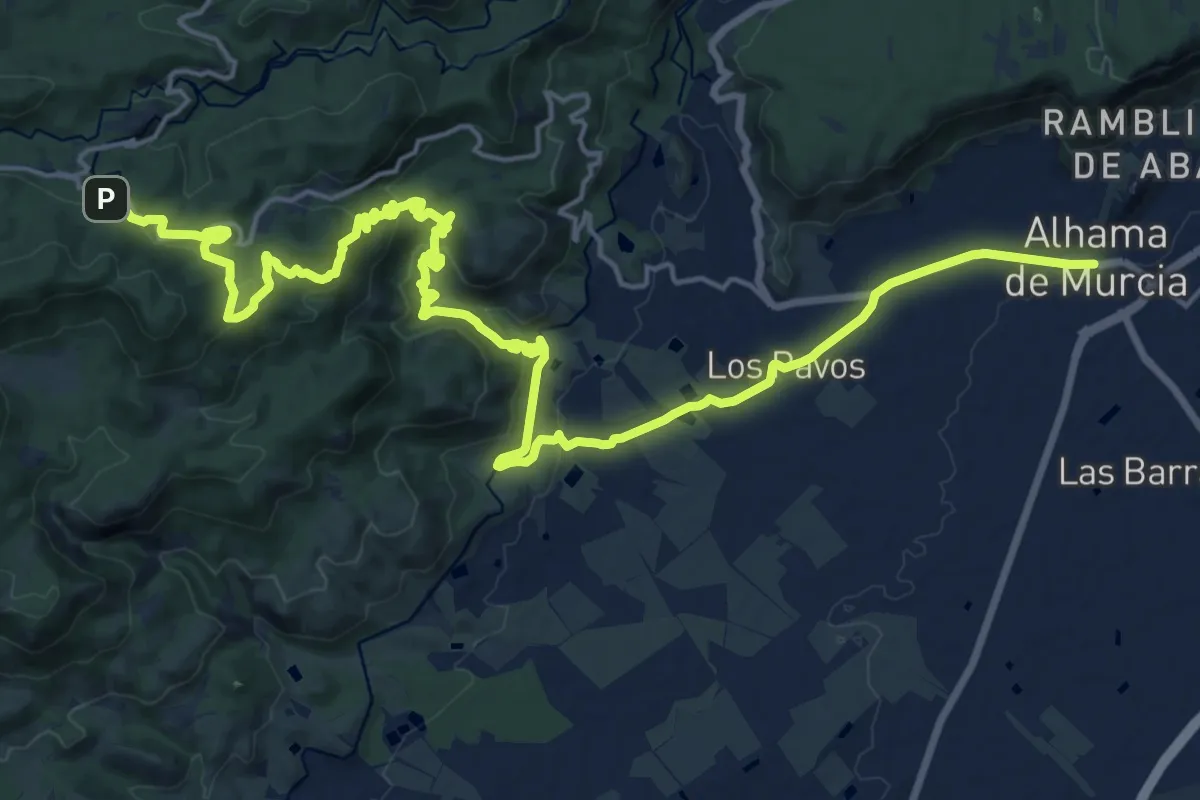
Medium · Trail
Sendero de Fuente Alta
15.5 km · ↑ 175 m · 4 h 32 min · 10 km away
Medium · Trail
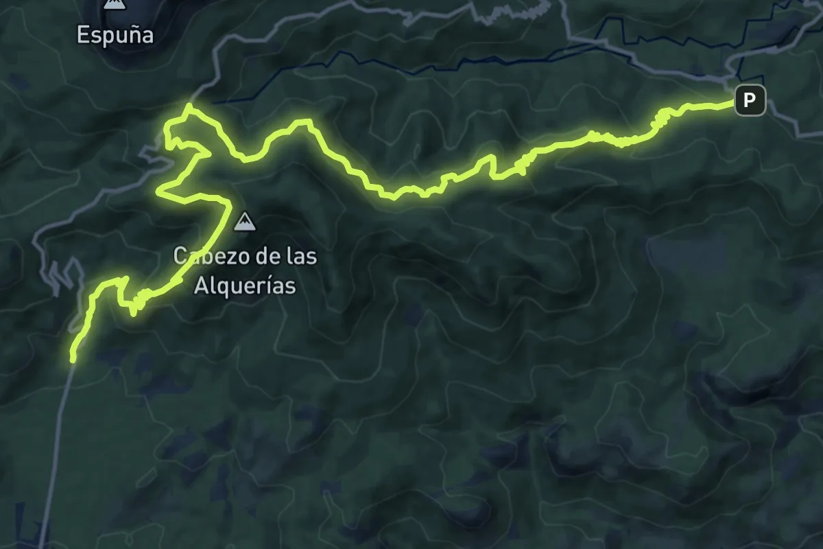
Esputrek. Tramo 4 Las Alquerías - Centro de Visitantes Ricardo Codorníu
12.8 km · ↑ 744 m · 4 h 48 min · 10 km away
Medium · Trail
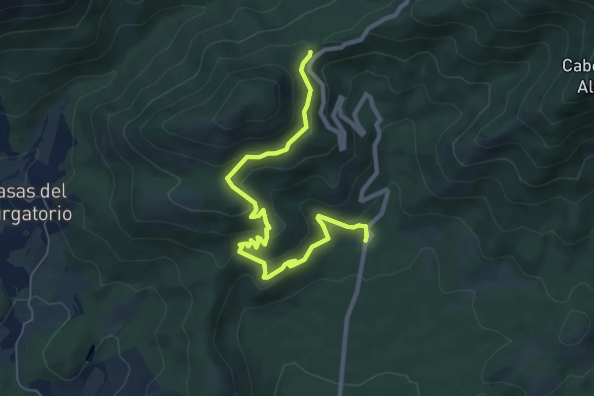
Senda del Lentisco
6.8 km · ↑ 358 m · 2 h 23 min · 10 km away
Medium · Trail
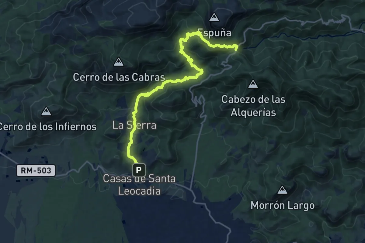
Sendero del Purgatorio
17.6 km · ↑ 736 m · 5 h 46 min · 10 km away
Easy · Trail
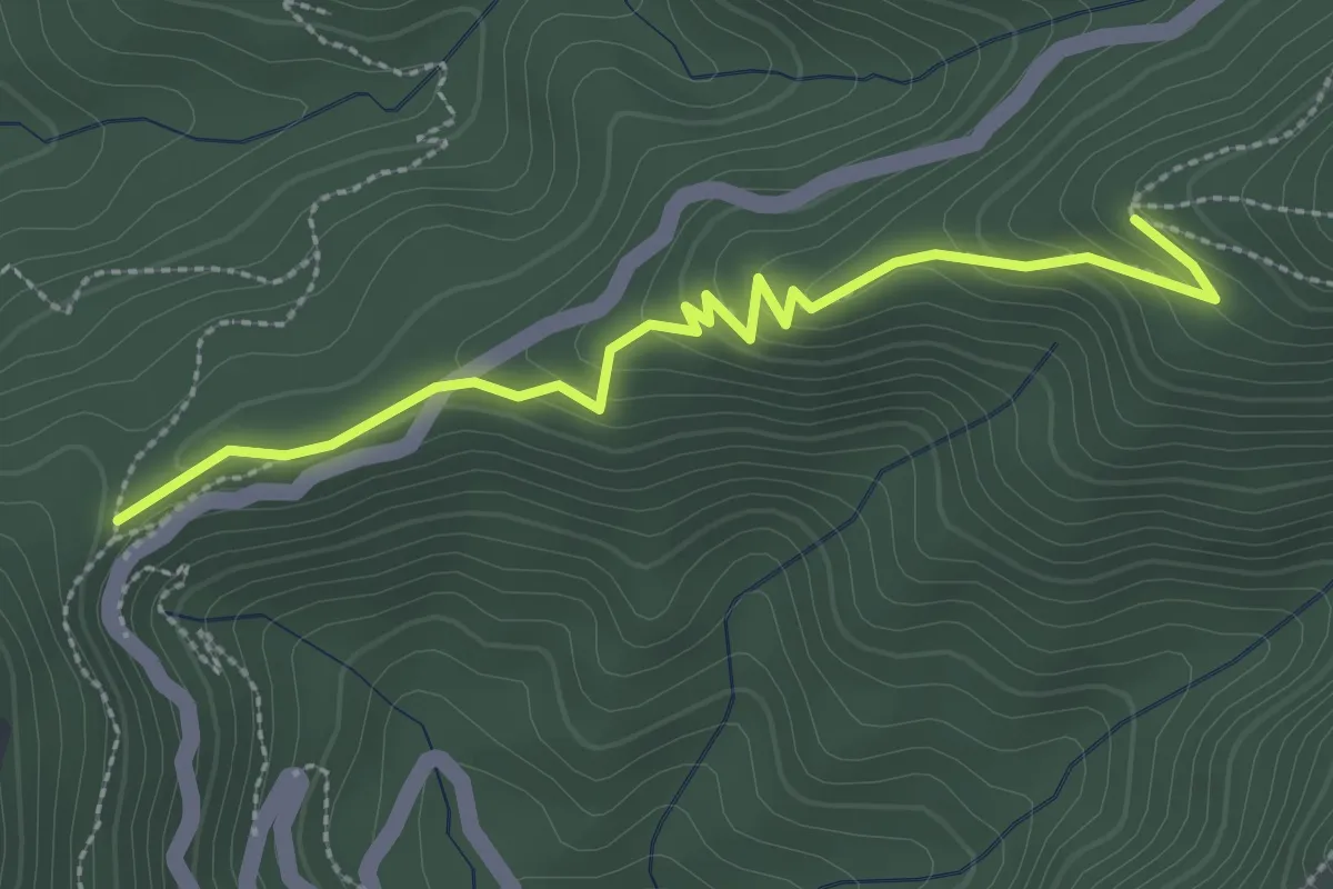
Variante al Collado del Pilón
3.3 km · ↑ 145 m · 1 h 5 min · 11 km away
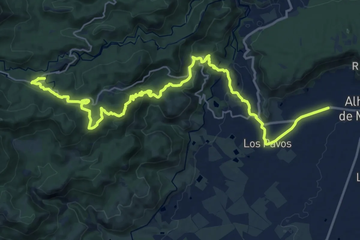
Demanding · Summit
Sendero histórico de los pozos de la nieve desde Alhama
27.1 km · ↑ 853 m · 8 h 15 min · 11 km away
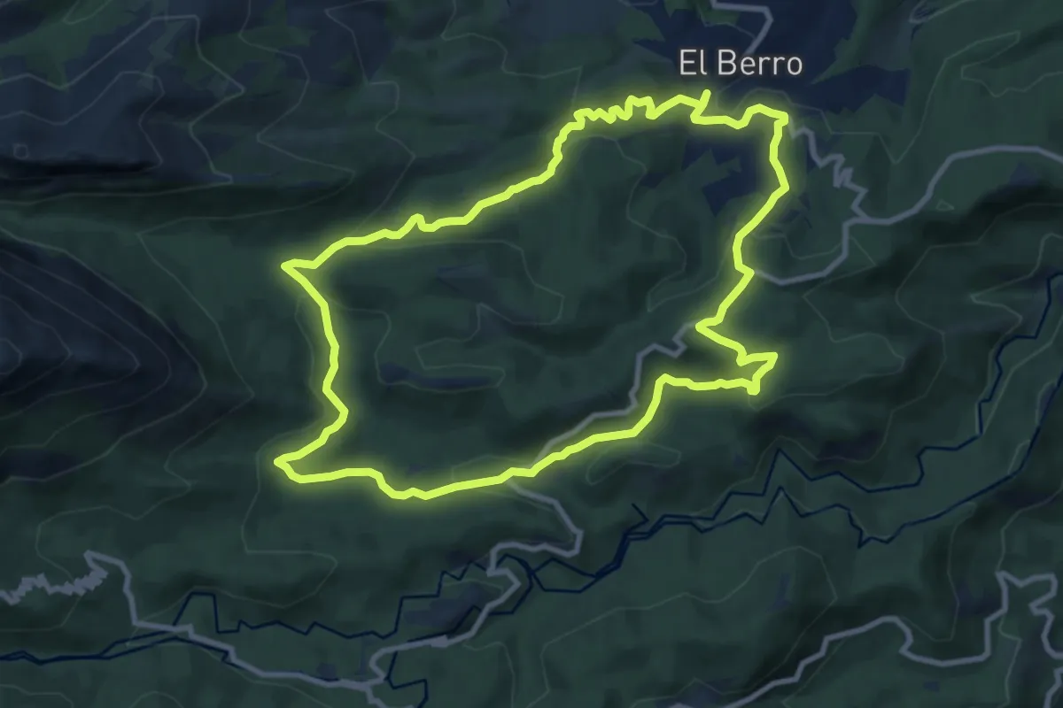
Medium · Trail
Sendero de El Berro
11.2 km · ↑ 324 m · 3 h 30 min · 11 km away
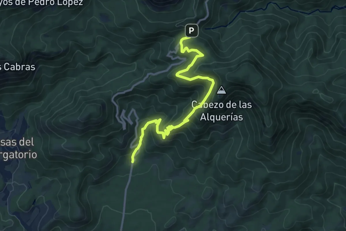
Medium · Trail
Senda del Barranco Ballesteros
10.6 km · ↑ 706 m · 4 h 3 min · 11 km away
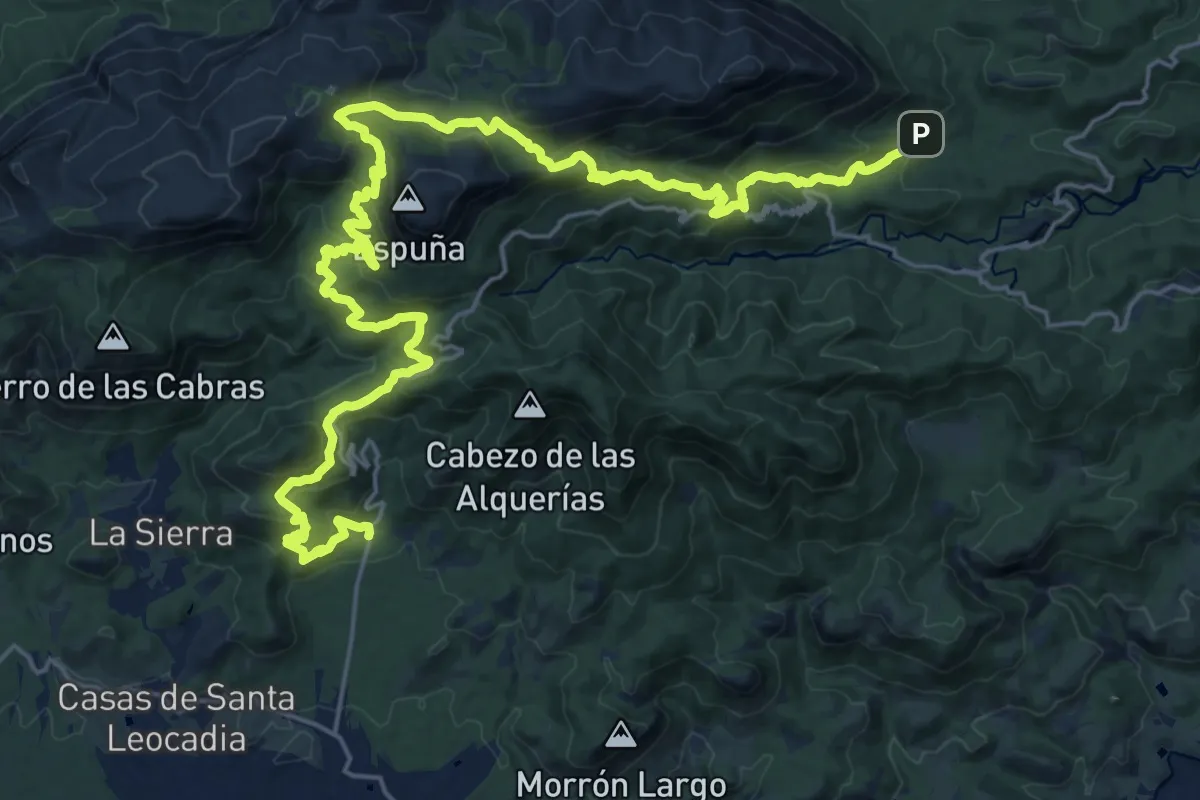
Demanding · Trail
Esputrek. Tramo 3 La Perdiz - Las Alquerías
17.9 km · ↑ 887 m · 6 h 23 min · 11 km away
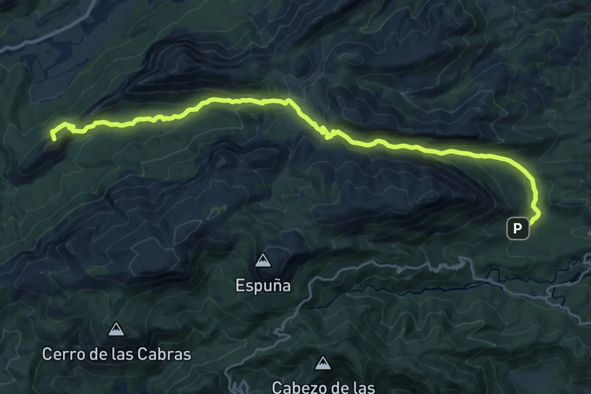
Demanding · Summit
Esputrek. Tramo 2 Casas Nuevas - La Perdiz
23.8 km · ↑ 1157 m · 8 h 8 min · 11 km away
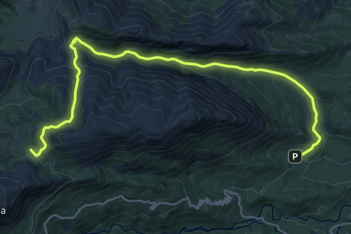
Medium · Trail
Sendero Valle de Leiva - Collado Mangueta
15.5 km · ↑ 713 m · 5 h 12 min · 11 km away
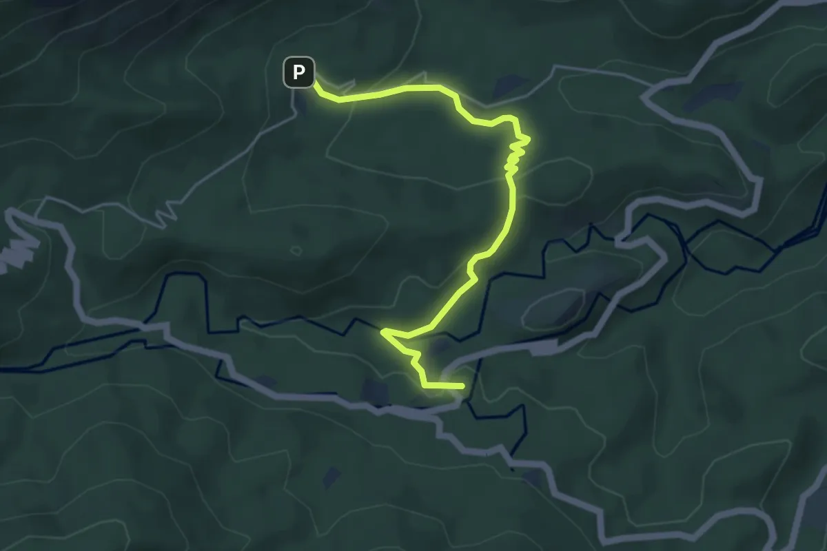
Easy · Summit
Sendero de los Siete Hermanos
5.4 km · ↑ 152 m · 1 h 36 min · 11 km away
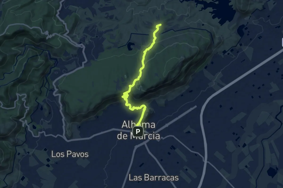
Medium · Summit
Sendero del Rento
13.1 km · ↑ 560 m · 4 h 19 min · 11 km away
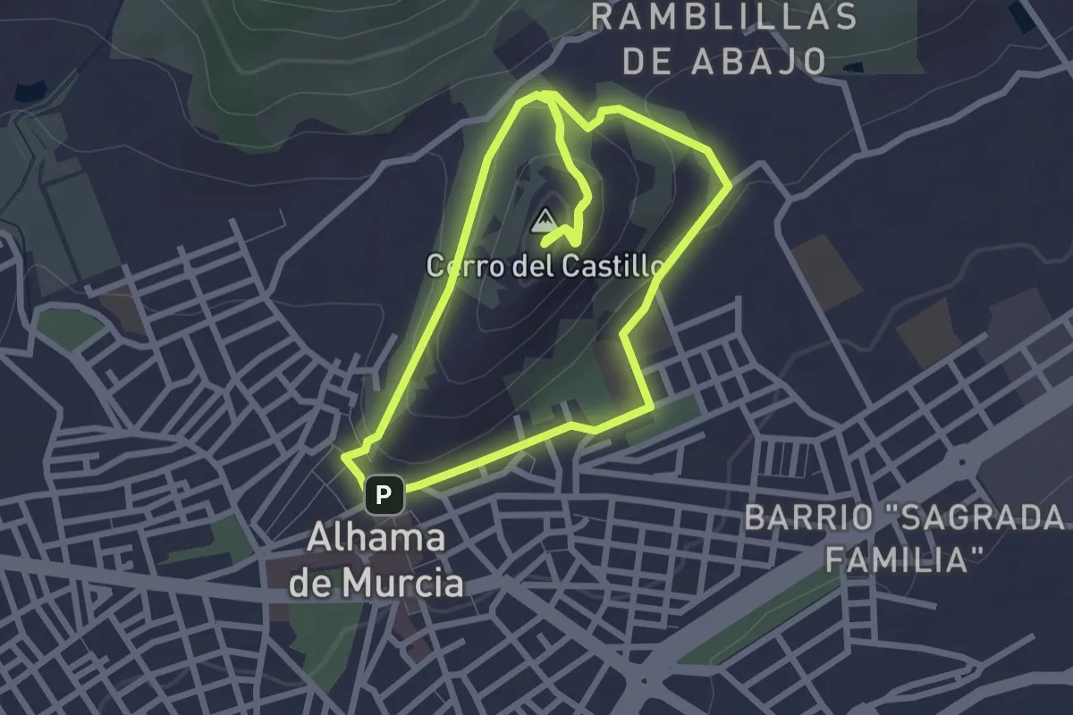
Easy · Summit
Sendero del Cerro del Castillo de Alhama
2.9 km · ↑ 92 m · 56 min · 11 km away
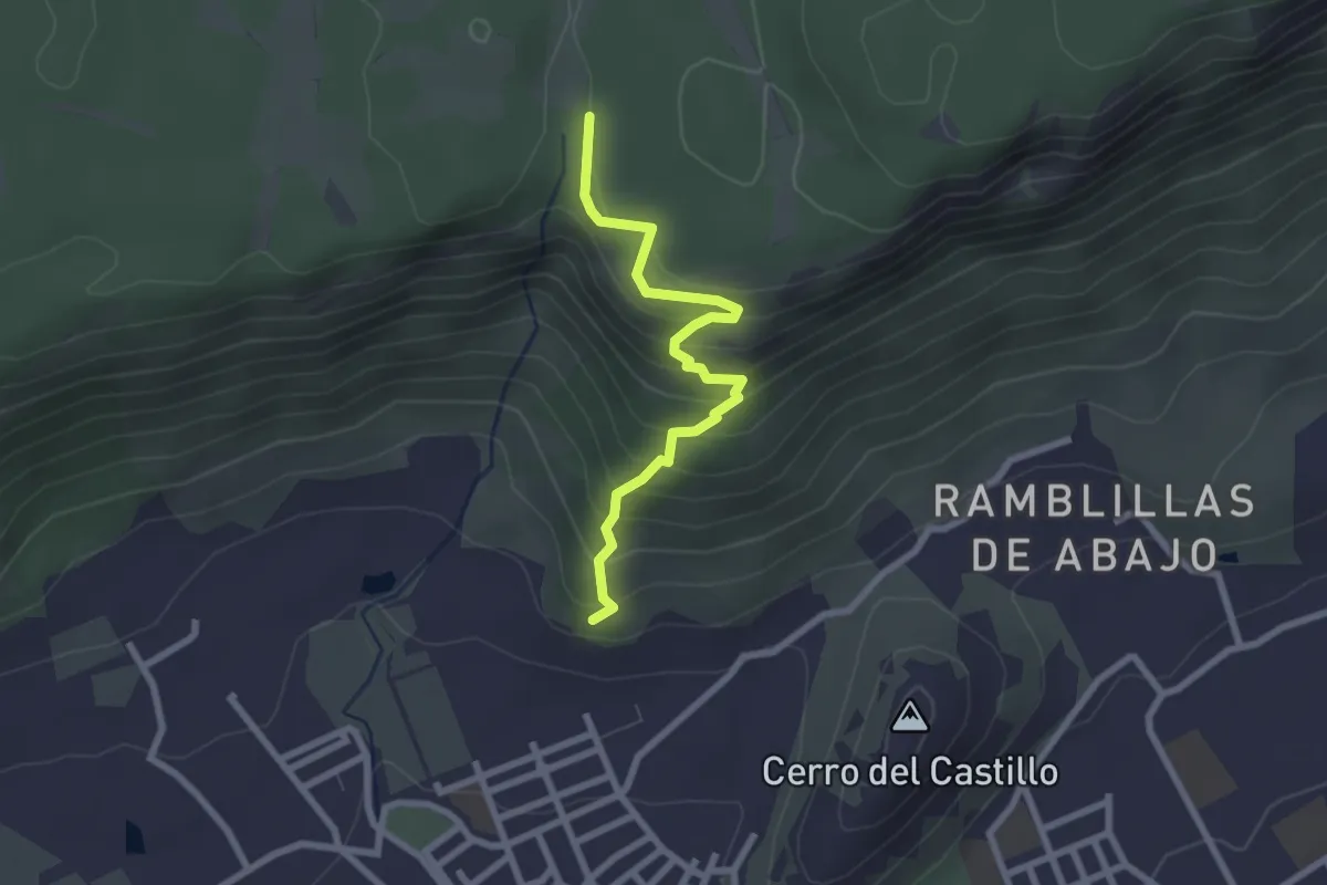
Easy · Trail
Sendero del Rento. (Variante temporal)
2.8 km · ↑ 268 m · 1 h 14 min · 12 km away
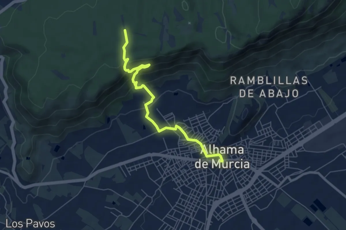
Easy · Trail
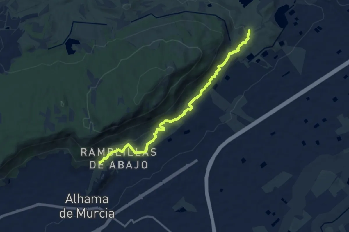
Sendero de la Cuesta del Salto
6.7 km · ↑ 316 m · 2 h 16 min · 12 km away
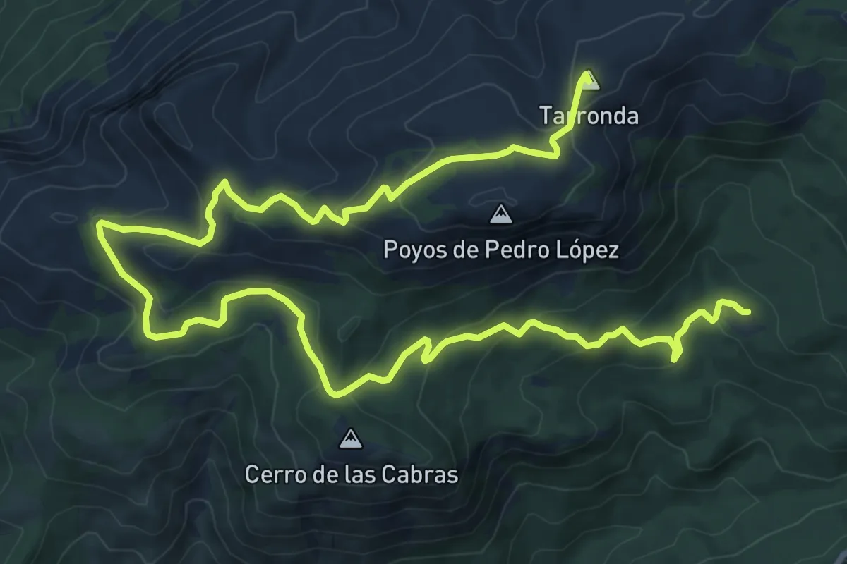
Medium · Summit
Sendero del Pedro López
16.3 km · ↑ 609 m · 5 h 10 min · 12 km away
Medium · Trail
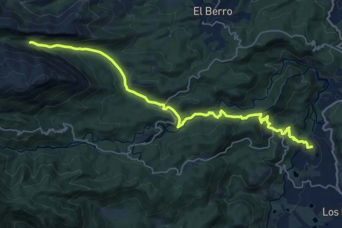
Sendero del Camino de la Fuente del Borrego
9.3 km · ↑ 316 m · 2 h 53 min · 12 km away
Demanding · Summit
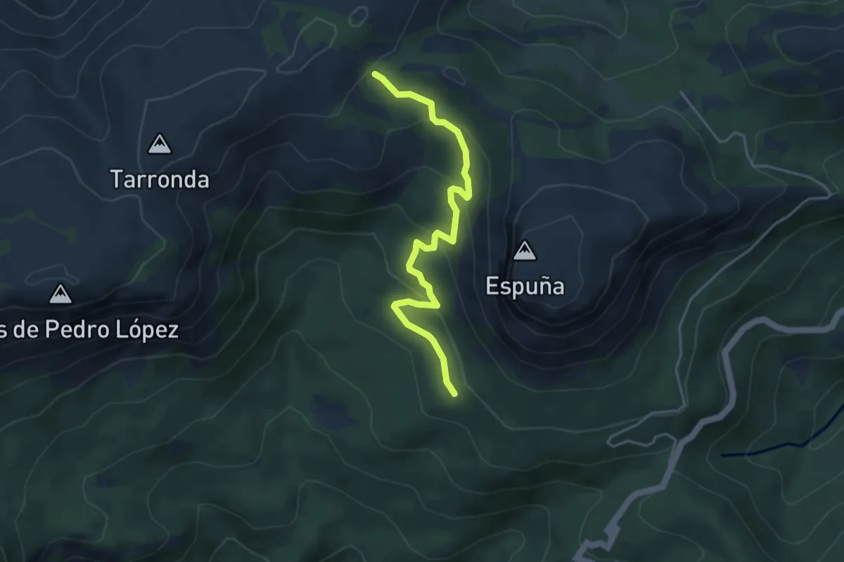
Sendero de Baldomero Brugarolas
20.7 km · ↑ 920 m · 6 h 52 min · 13 km away
Medium · Trail
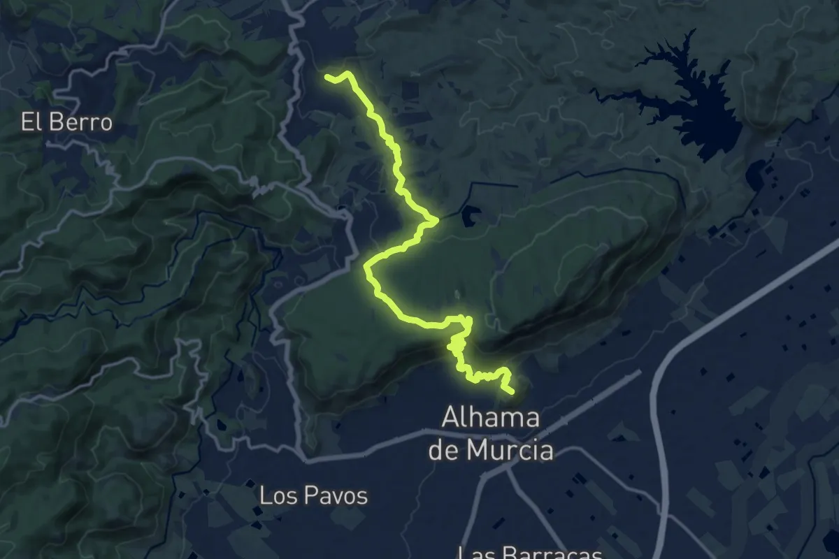
Variante Pedro López
4.7 km · ↑ 237 m · 1 h 37 min · 13 km away
Demanding · Summit
Camino del Bajo Guadalentín
18.5 km · ↑ 622 m · 5 h 43 min · 15 km away
Demanding · Trail
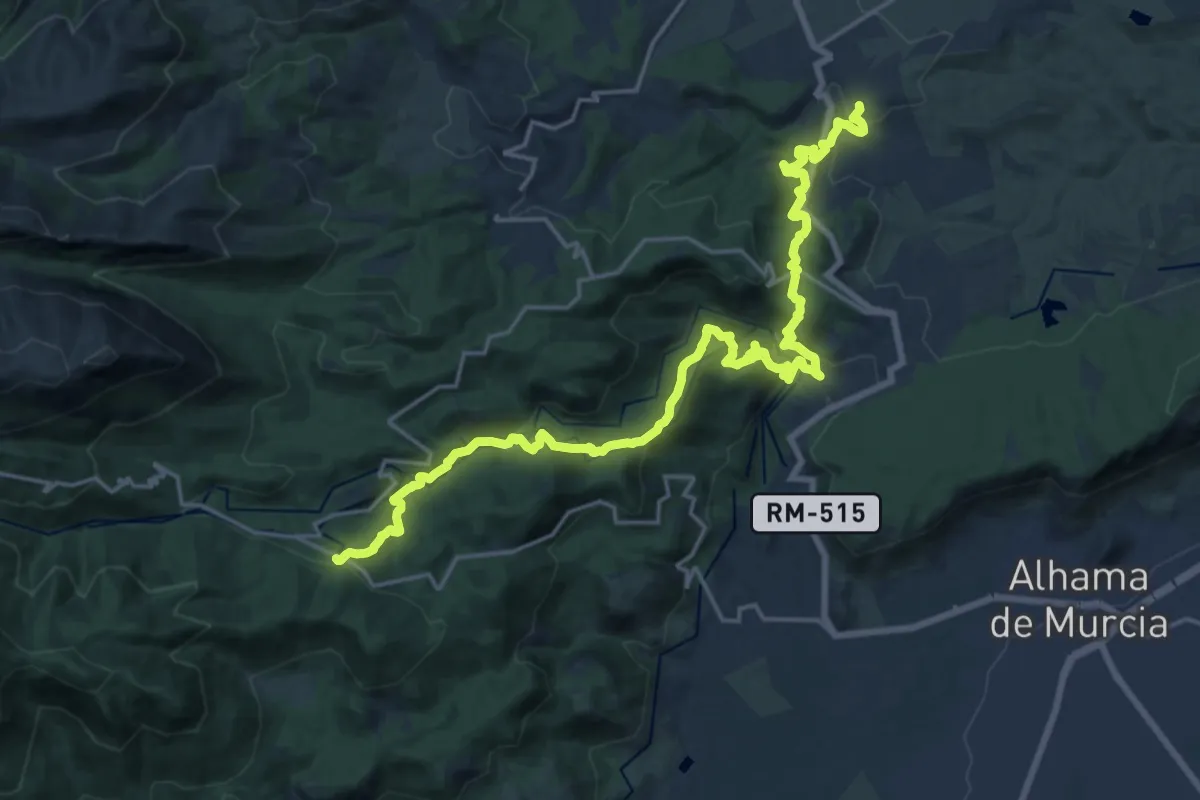
Esputrek. Tramo 5 Centro de Visitantes Ricardo Codorníu - Gebas
13.7 km · ↑ 854 m · 5 h 5 min · 15 km away