Trails near Valverde
25 hikes starting within 15 km, nearest first.
Nearest first
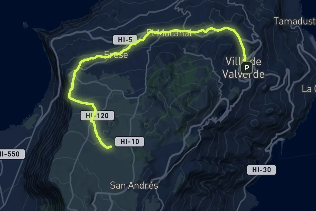
Demanding · Summit
La Peña Camino de el Norte
24.5 km · ↑ 921 m · 7 h 47 min · under 1 km away
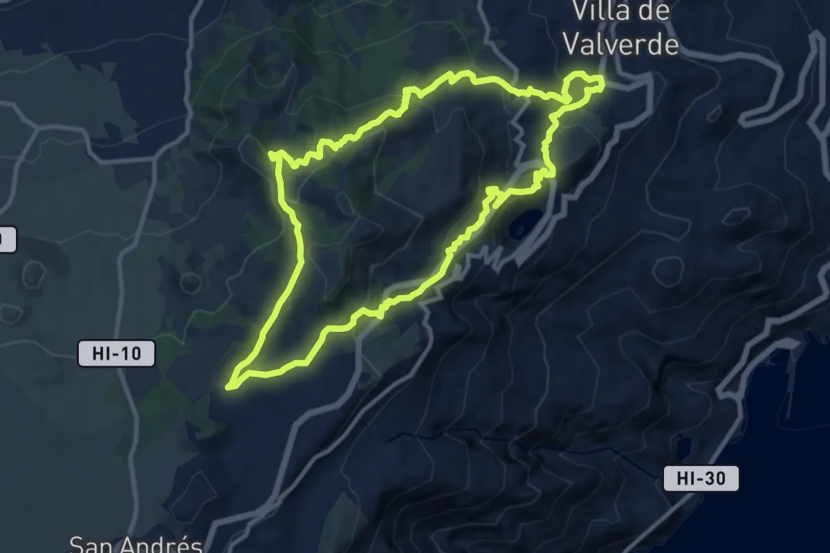
Medium · Summit
Ruta del Agua
11.6 km · ↑ 599 m · 4 h 12 min · 1 km away
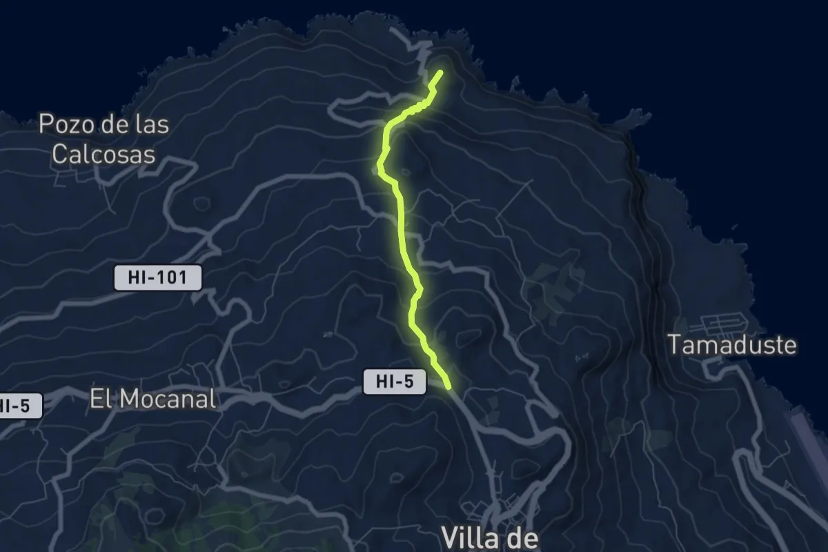
Medium · Summit
Cruz del Calvario-Charco Manso
6.3 km · ↑ 460 m · 2 h 28 min · 1 km away
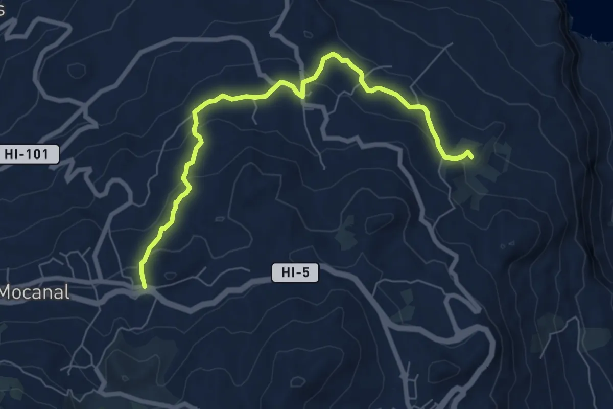
Medium · Summit
El Mocanal-El Tamaduste
8.5 km · ↑ 271 m · 2 h 35 min · 2 km away
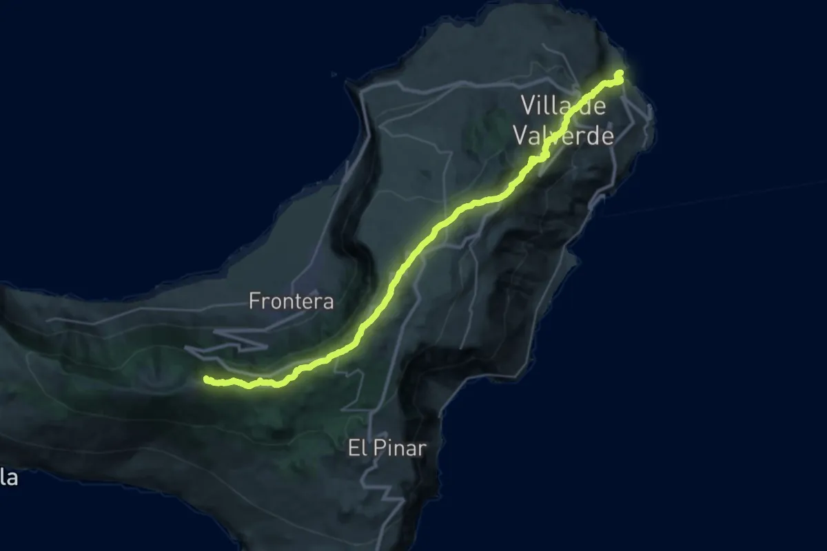
Demanding · Summit
Camino de la Virgen
43.4 km · ↑ 1830 m · 14 h 13 min · 3 km away
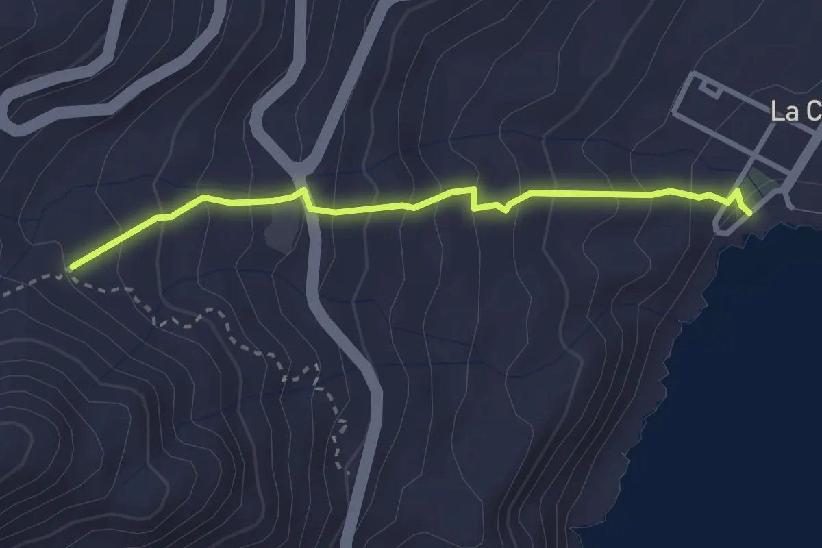
Medium · Trail
Valverde - La Caleta
3.4 km · ↑ 320 m · 1 h 30 min · 3 km away
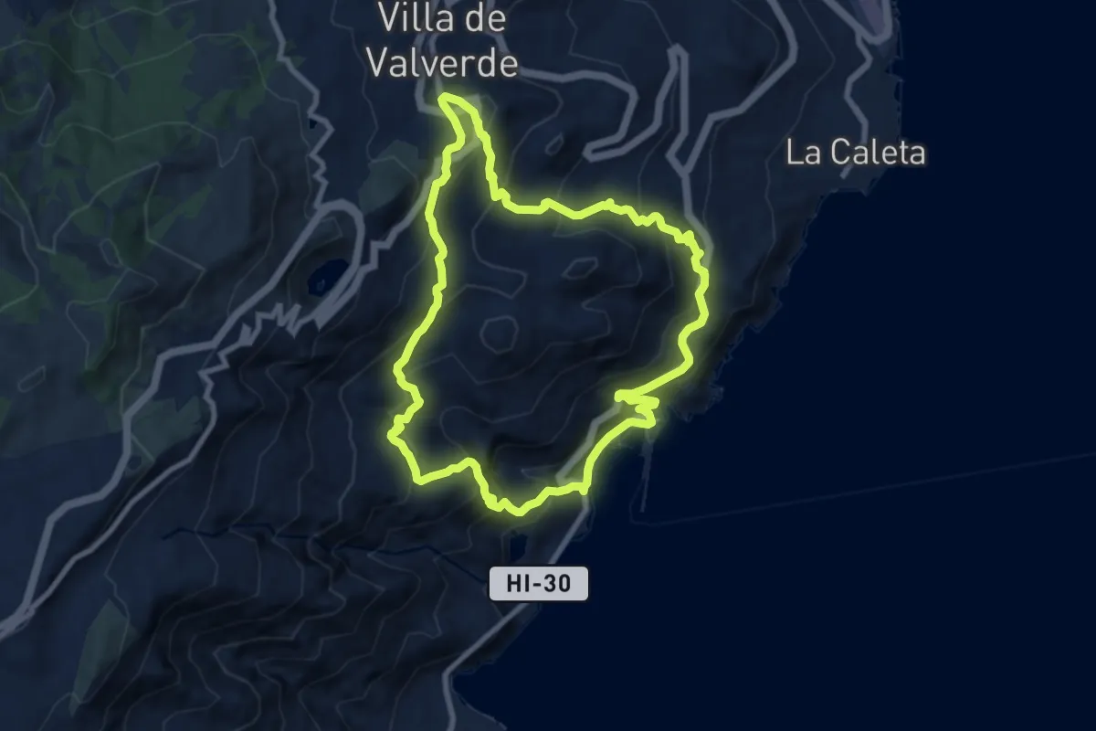
Medium · Trail
Puerto de La Estaca Valverde
10.4 km · ↑ 738 m · 4 h 12 min · 3 km away
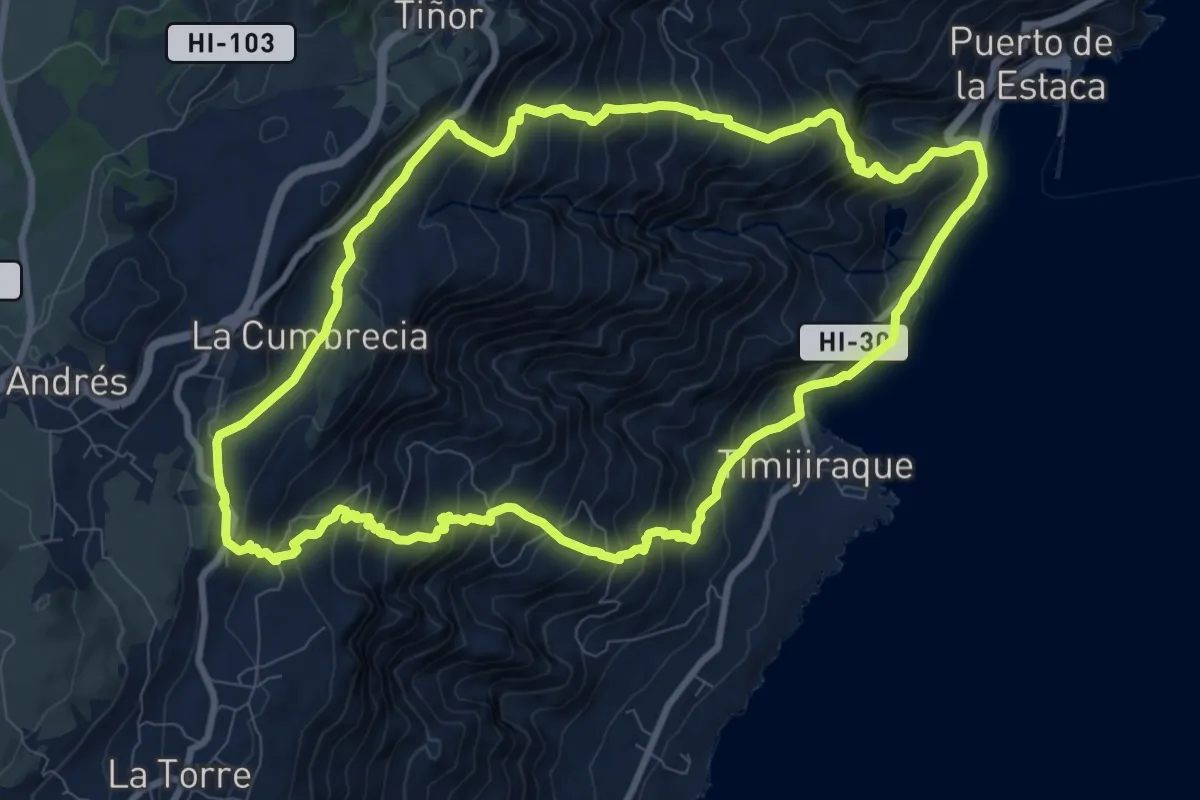
Demanding · Summit
Camino de Tiñor Puerto de la Estaca Tiñor
12.3 km · ↑ 987 m · 5 h 13 min · 3 km away
Easy · Trail
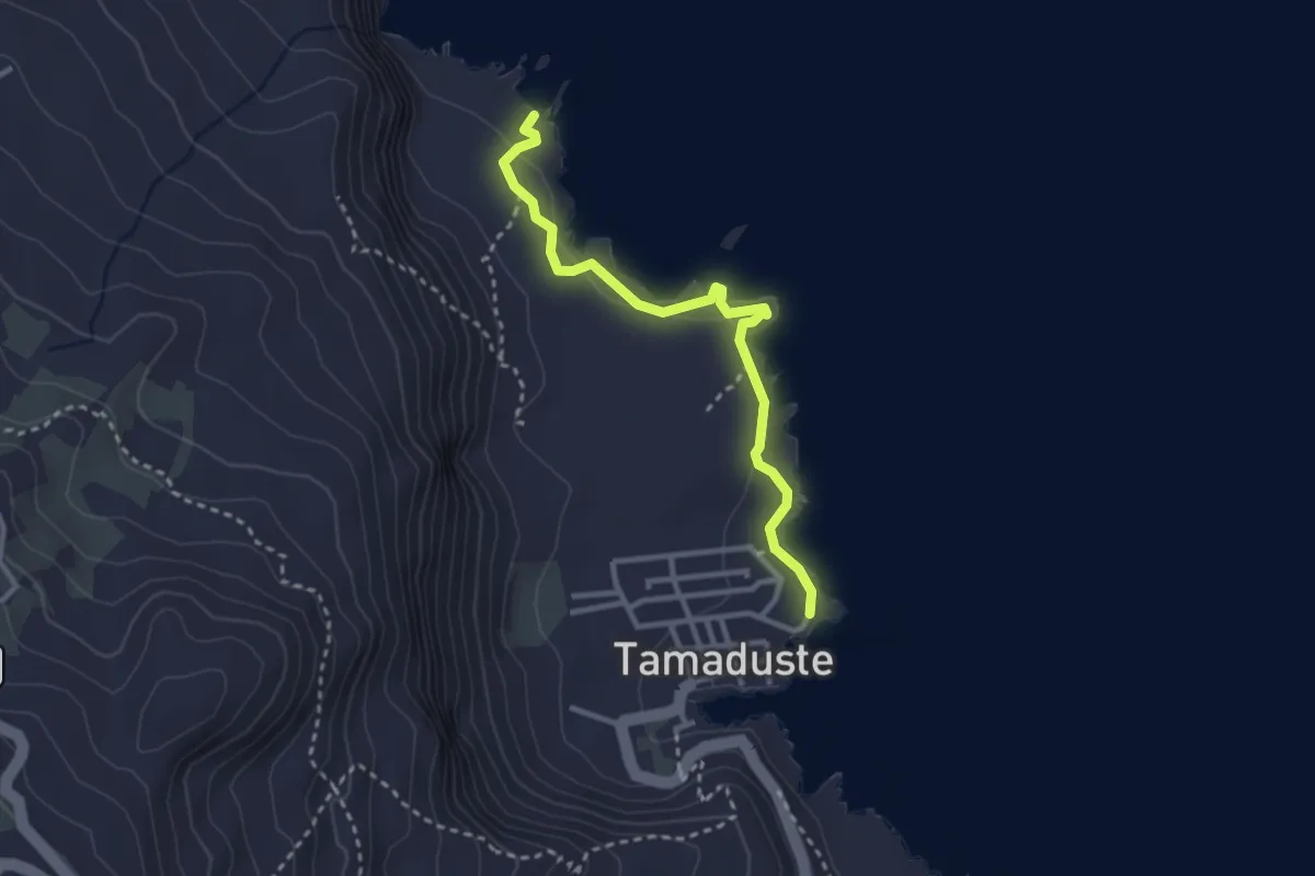
(Tamaduste - La Fortaleza)
3.7 km · ↑ 82 m · 1 h 3 min · 3 km away
Medium · Trail
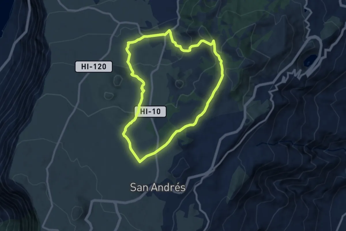
San Andrés - Árbol Santo - Las Montañetas
8.8 km · ↑ 323 m · 2 h 54 min · 4 km away
Demanding · Summit
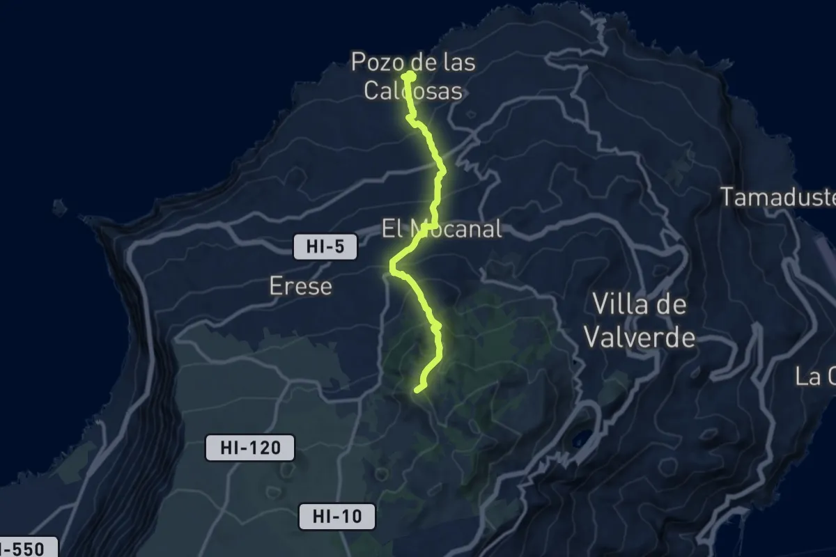
San Andrés - Pozo de las Calcosas
11.8 km · ↑ 1069 m · 5 h 7 min · 5 km away
Demanding · Summit
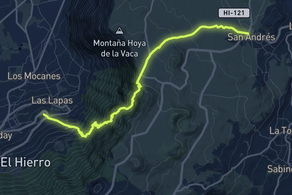
San Andrés El Golfo por Camino de Jinama
14.0 km · ↑ 1370 m · 6 h 17 min · 6 km away
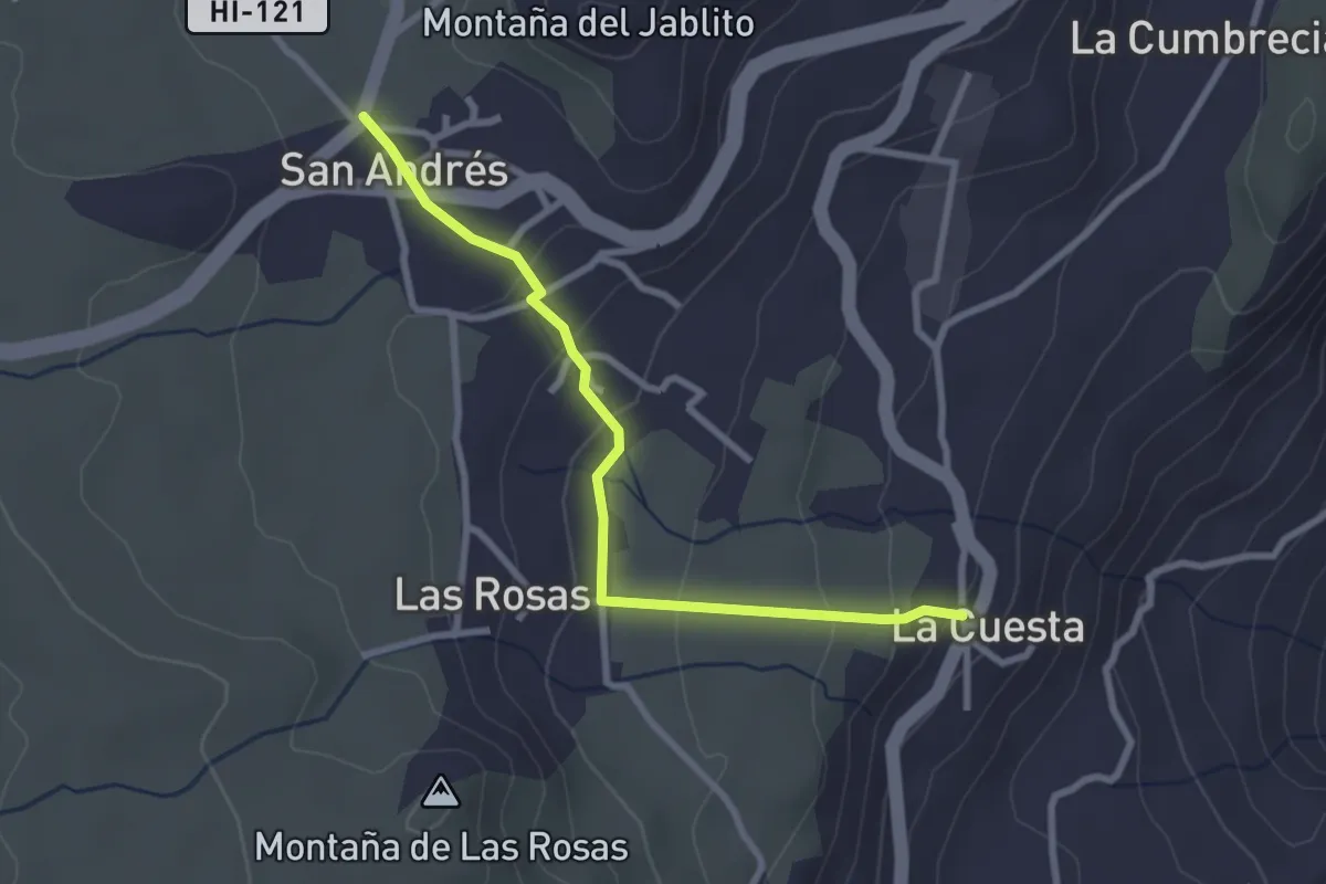
Easy · Trail
La Cuesta - San Andrés
3.5 km · ↑ 134 m · 1 h 7 min · 6 km away
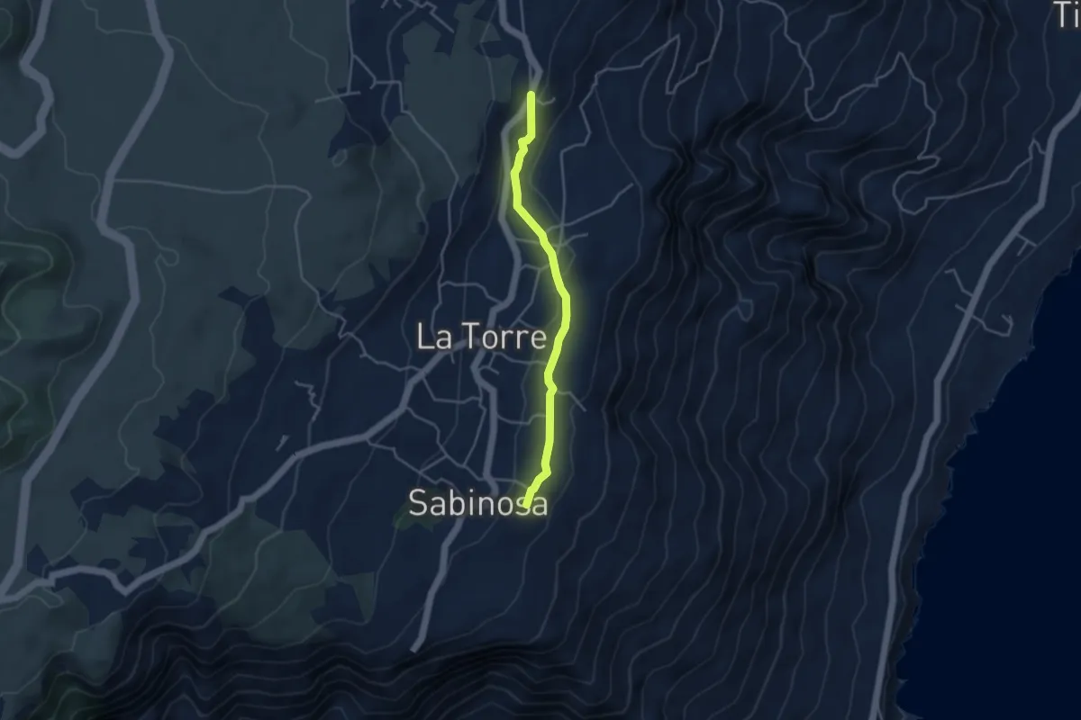
Easy · Trail
Mirador de Isora - La Cuesta
4.5 km · ↑ 86 m · 1 h 15 min · 8 km away
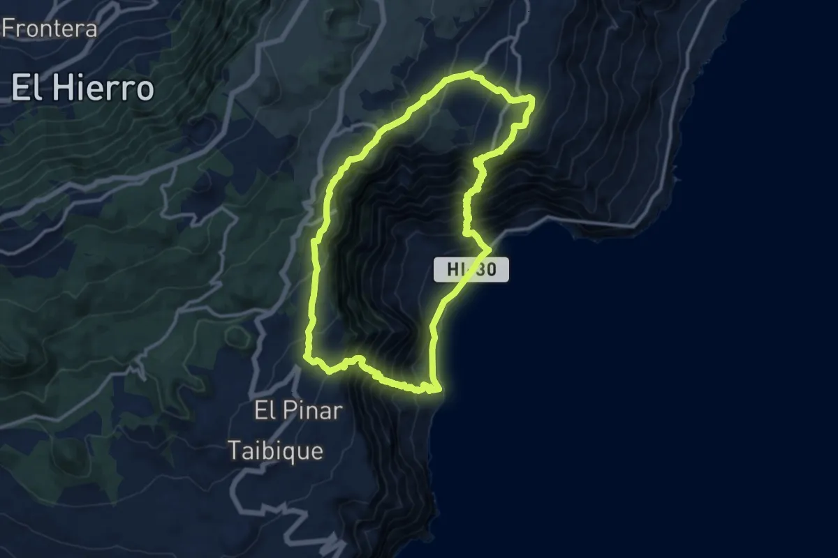
Demanding · Trail
Camino de Isora Las Playas Isora
14.2 km · ↑ 1198 m · 6 h 8 min · 9 km away
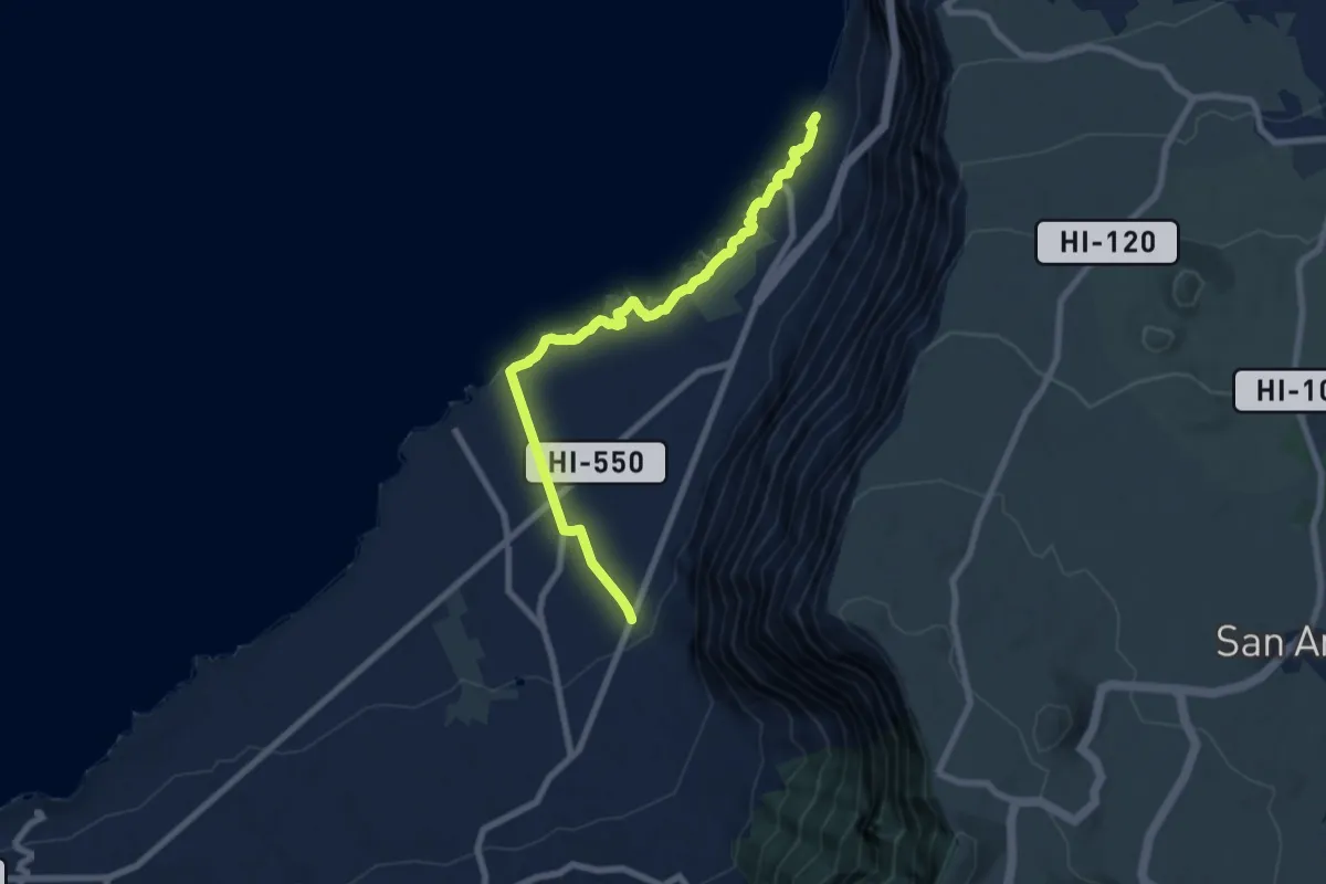
Medium · Trail
Ecomuseo de Guinea al Pozo de Los Padrones
9.9 km · ↑ 255 m · 2 h 54 min · 9 km away
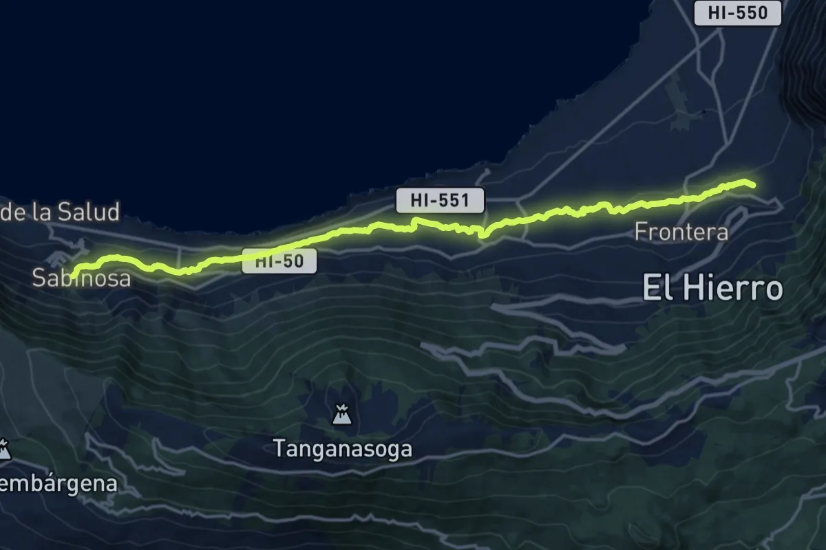
Demanding · Trail
Variante del Canal, La Frontera-Sabinosa
21.8 km · ↑ 522 m · 6 h 16 min · 10 km away
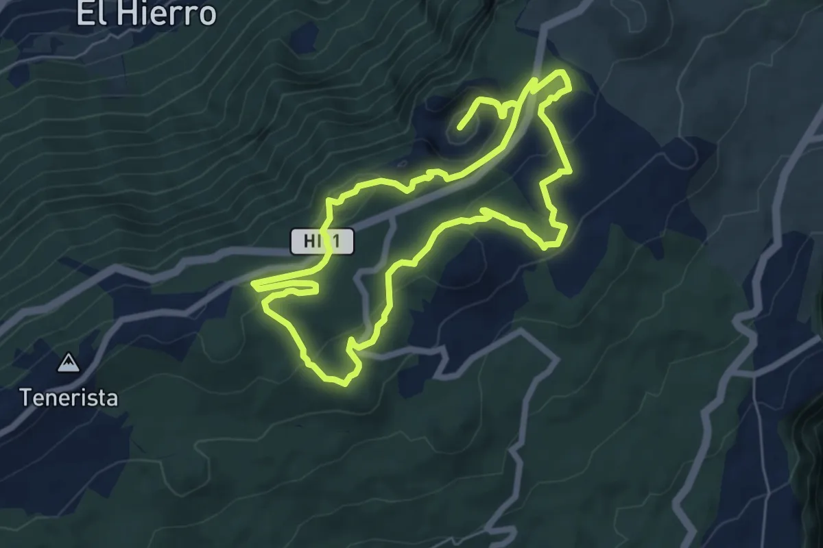
Medium · Summit
(Ruta de la Llanía)
7.6 km · ↑ 234 m · 2 h 25 min · 12 km away
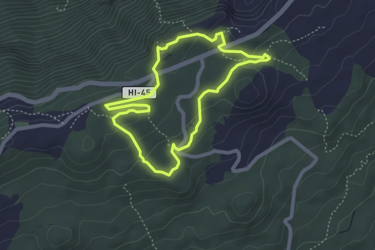
Medium · Summit
Fayal - Fuente del Lomo
4.5 km · ↑ 98 m · 1 h 20 min · 12 km away
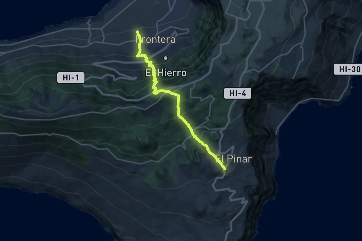
Demanding · Trail
El Pinar El Golfo Camino de el Golfo
9.5 km · ↑ 1150 m · 4 h 33 min · 12 km away
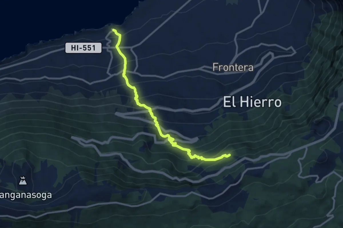
Demanding · Trail
Camino de Los Llanillos
11.3 km · ↑ 1081 m · 5 h · 13 km away
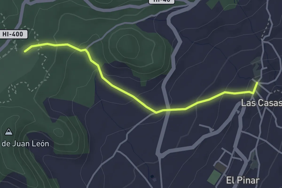
Easy · Trail
Las Casas-Hoya del Morcillo
4.0 km · ↑ 160 m · 1 h 18 min · 13 km away
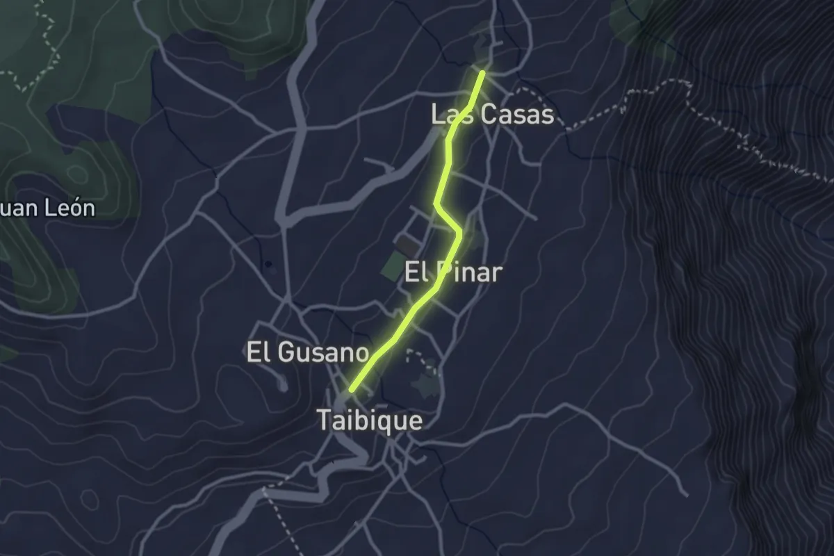
Easy · Trail
Las Casas-Taibique
2.7 km · ↑ 36 m · 43 min · 13 km away
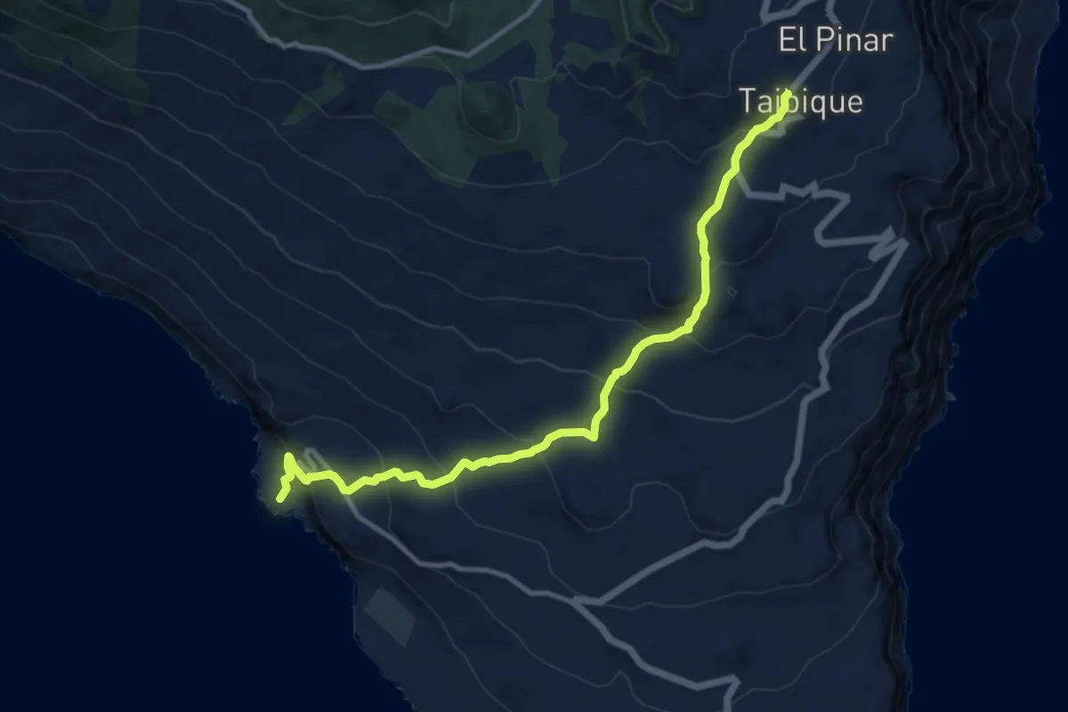
Demanding · Trail
Camino de Tacorón
14.9 km · ↑ 828 m · 5 h 18 min · 13 km away
Easy · Trail
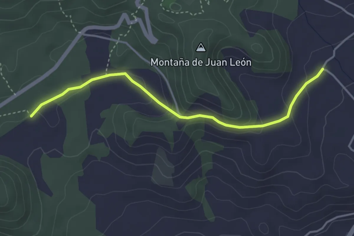
Variante Hoya del Gallego a Hoya del Morcillo
4.6 km · ↑ 160 m · 1 h 25 min · 15 km away