Trails near Vielha
48 hikes starting within 15 km, nearest first.
Nearest first
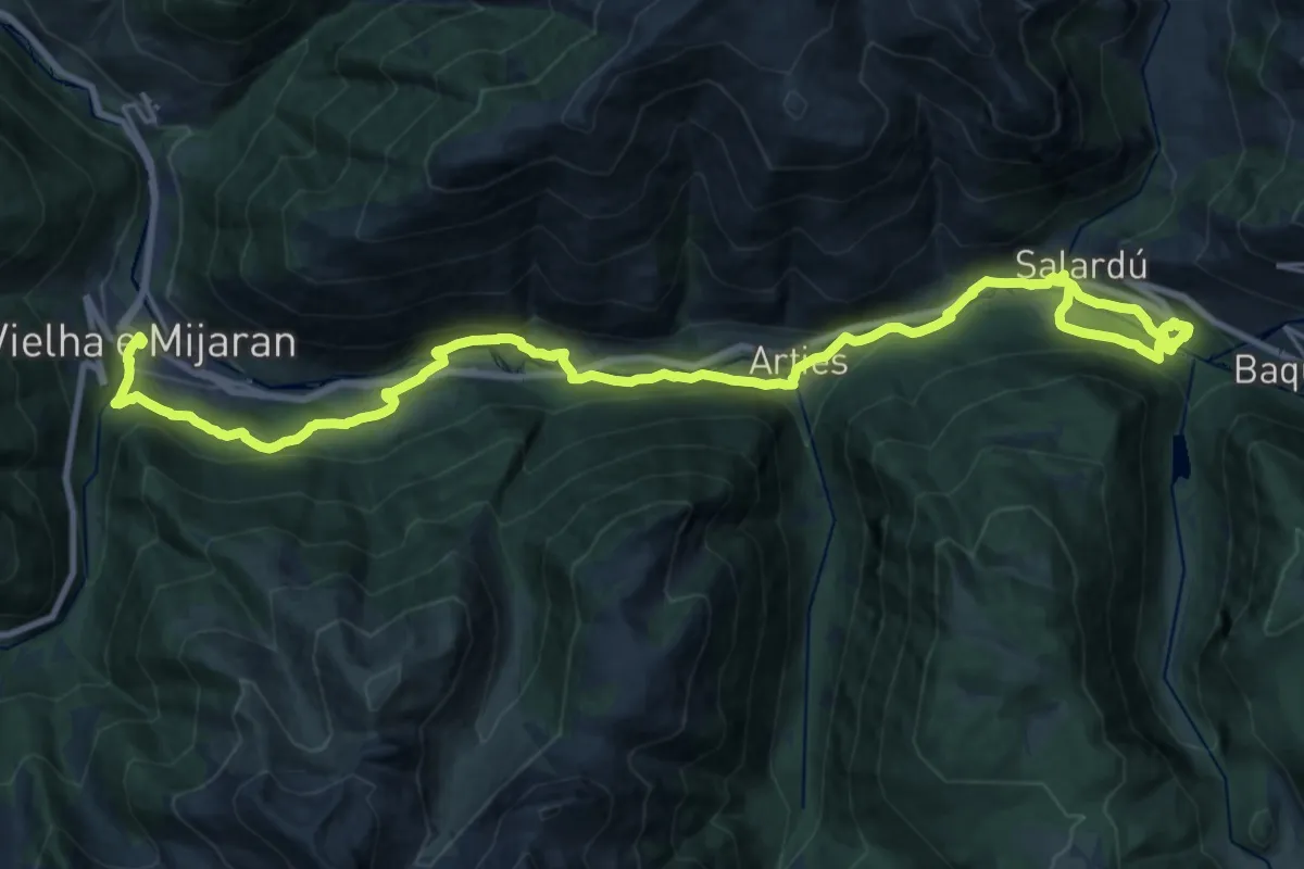
Medium · Trail
Camin Reiau - Etapa 1
15.6 km · ↑ 651 m · 5 h 10 min · under 1 km away
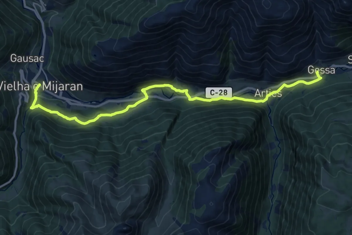
Demanding · Trail
Sender circular de la Val d'Aran. Variant Gessa - Vielha
20.7 km · ↑ 705 m · 6 h 25 min · under 1 km away
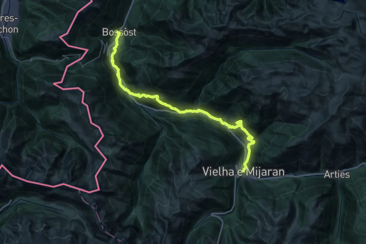
Demanding · Trail
Ramat de Camins. Etapa 12 : Bossòt => Vielha
20.2 km · ↑ 815 m · 6 h 56 min · under 1 km away
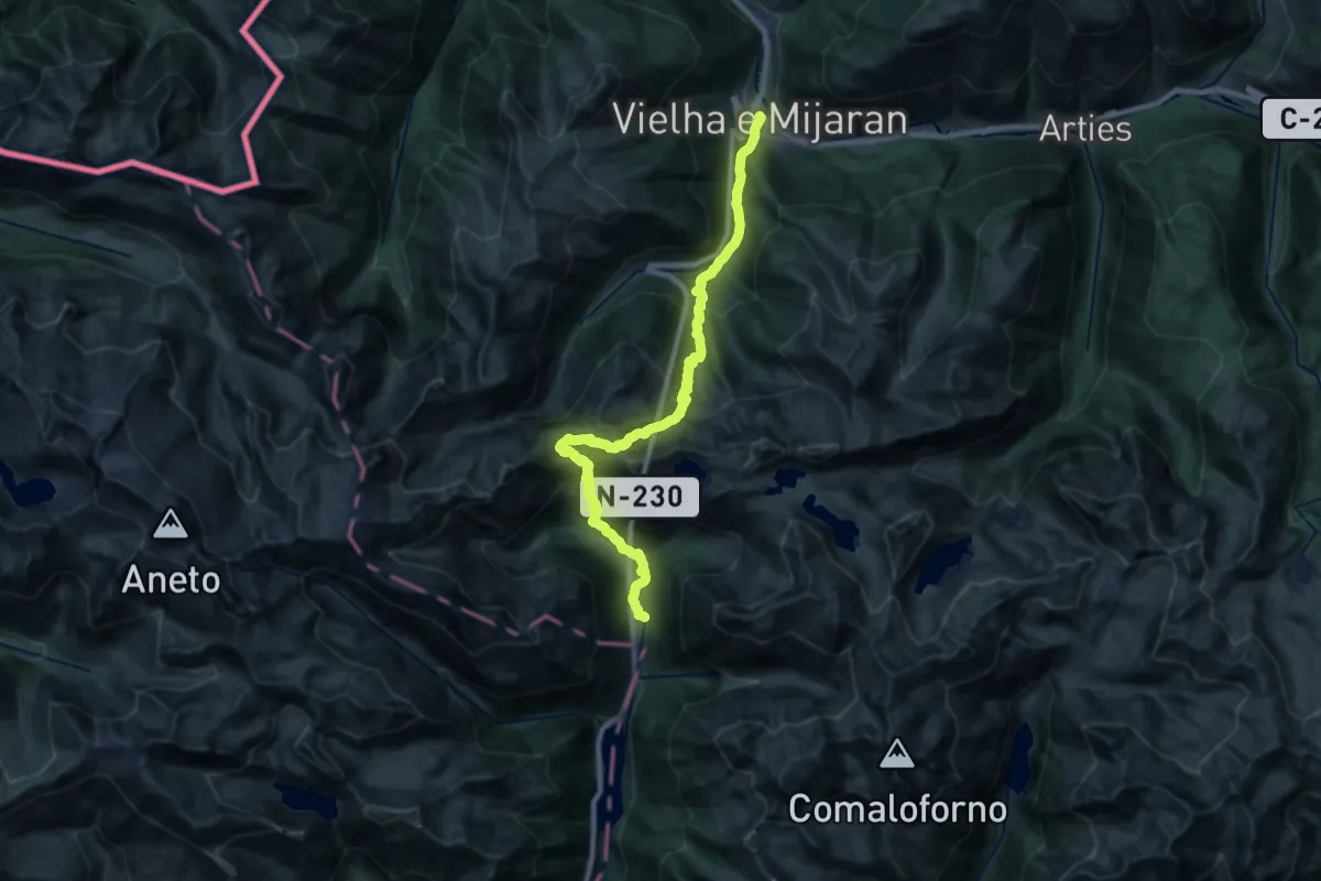
Demanding · Cabin
Ramat de Camins. Etapa 13 : Vielha => Refugi de Conangles
15.6 km · ↑ 1530 m · 6 h 55 min · under 1 km away
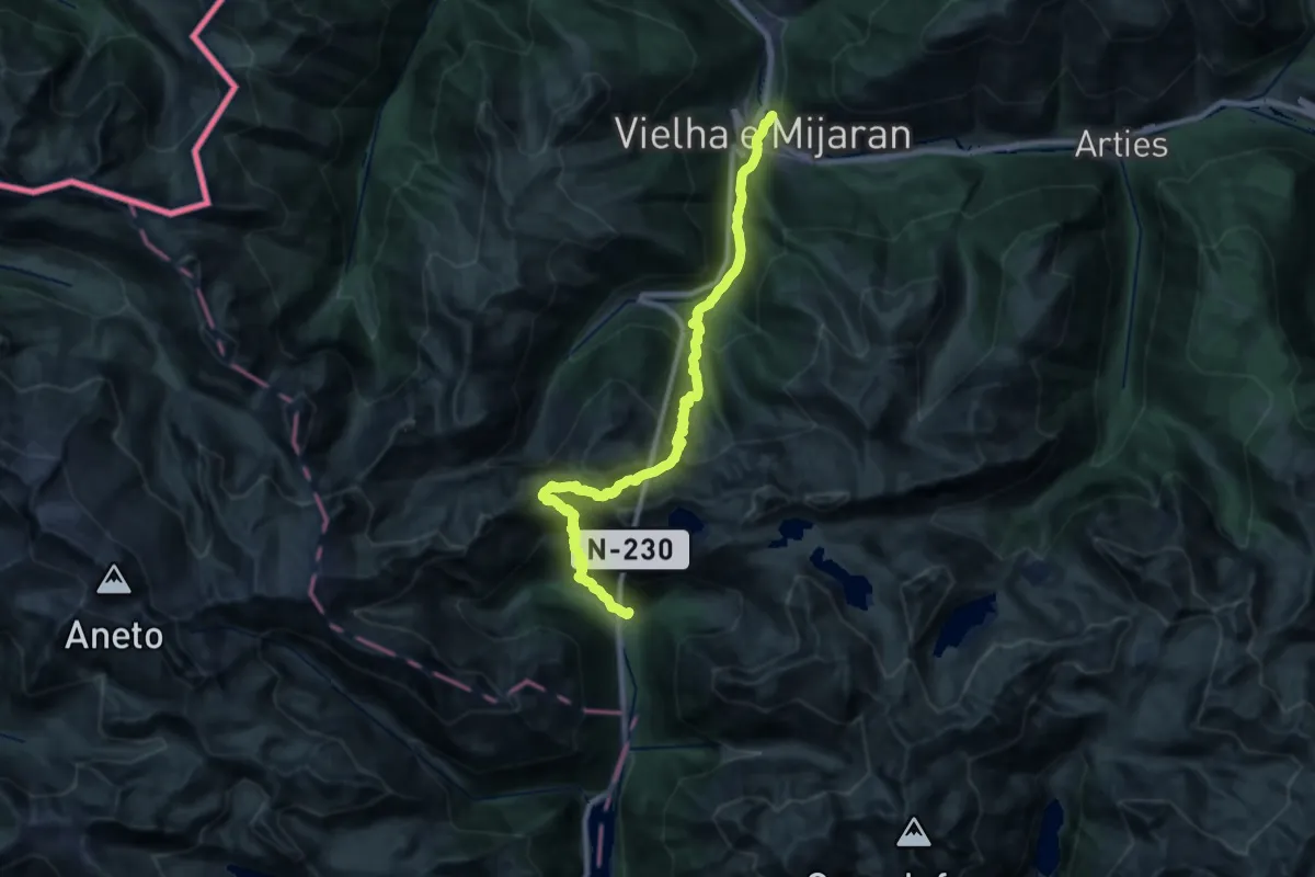
Demanding · Trail
Sender circular de la Val d'Aran. Variant Espitau de Vielha - Vielha
14.4 km · ↑ 1557 m · 6 h 37 min · under 1 km away
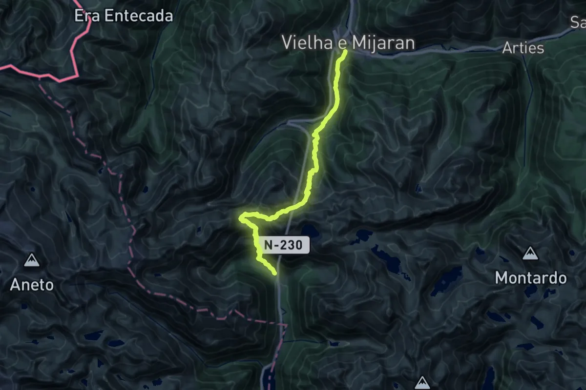
Demanding · Cabin
Camí Natural del Port de Vielha
13.3 km · ↑ 1499 m · 6 h 16 min · under 1 km away
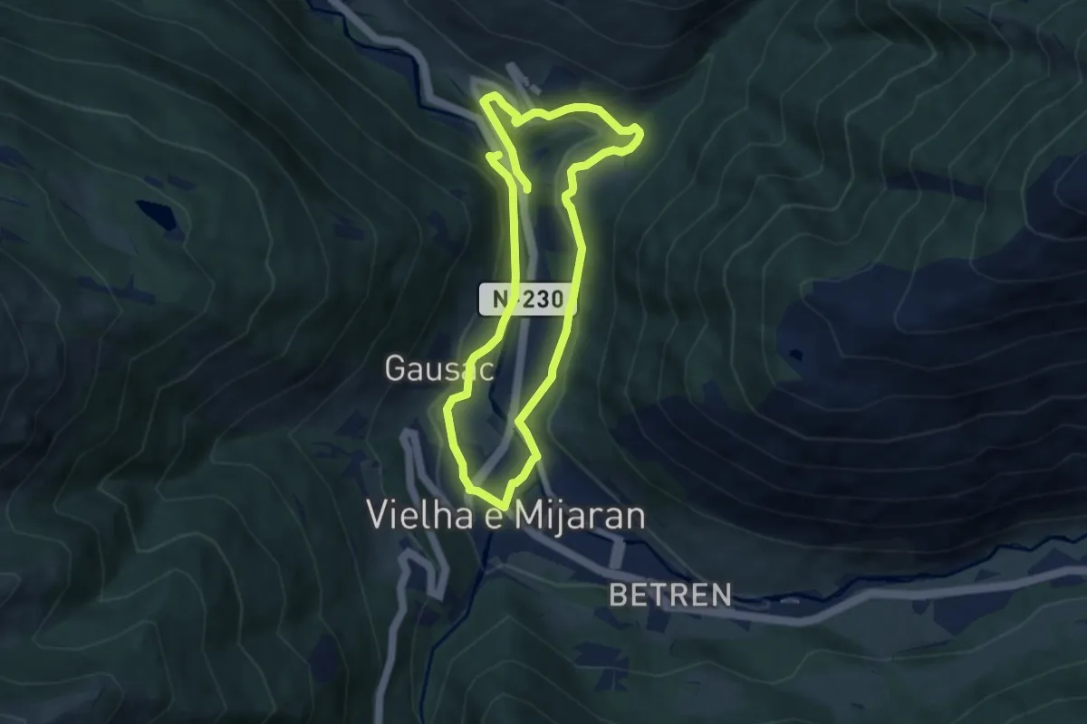
Easy · Trail
Passeig de contrastos per Mijaran
6.1 km · ↑ 137 m · 1 h 50 min · 2 km away
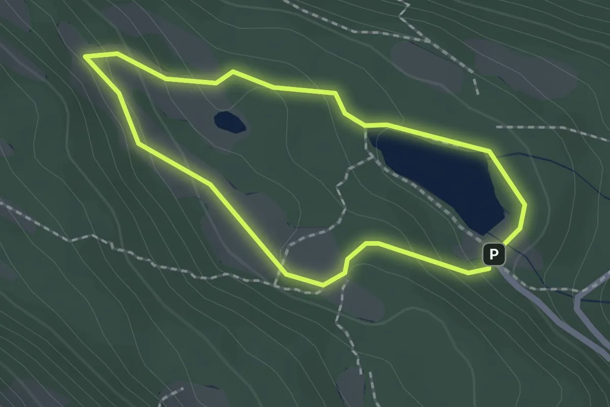
Medium · Cabin
Bassa d'Oles
1.7 km · ↑ 74 m · 36 min · 2 km away
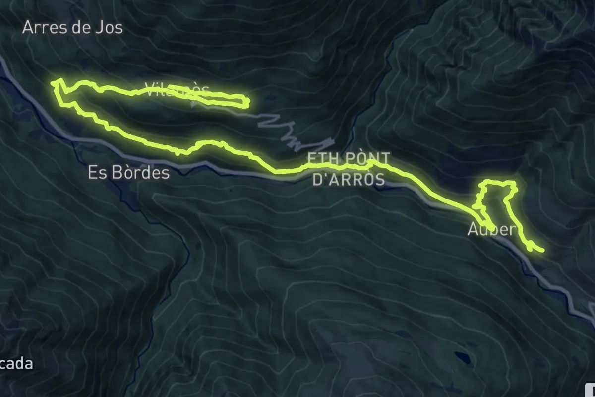
Demanding · Trail
Camin Reiau - Etapa 5
13.9 km · ↑ 837 m · 5 h 11 min · 3 km away
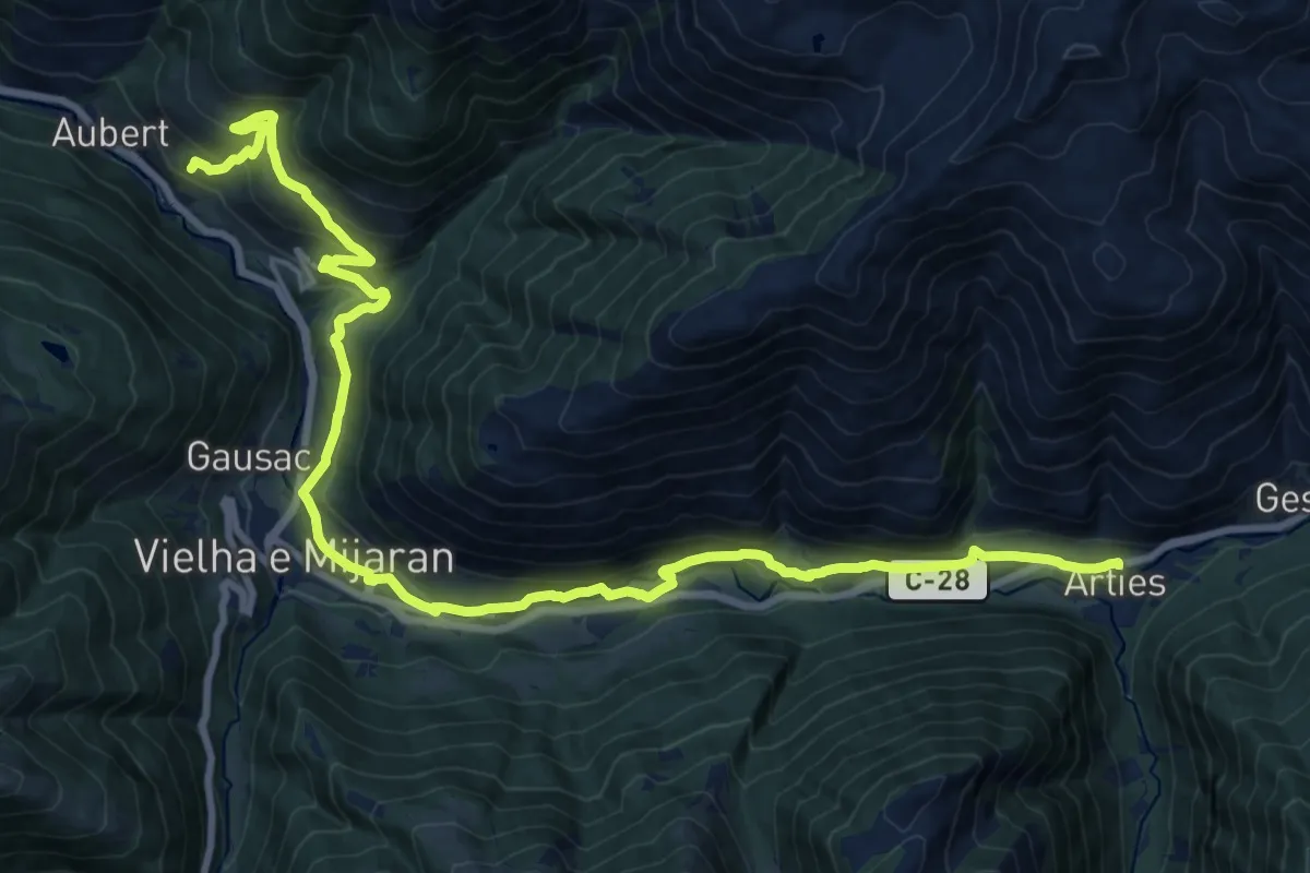
Medium · Trail
Camin Reiau - Etapa 4
13.1 km · ↑ 498 m · 4 h 18 min · 3 km away
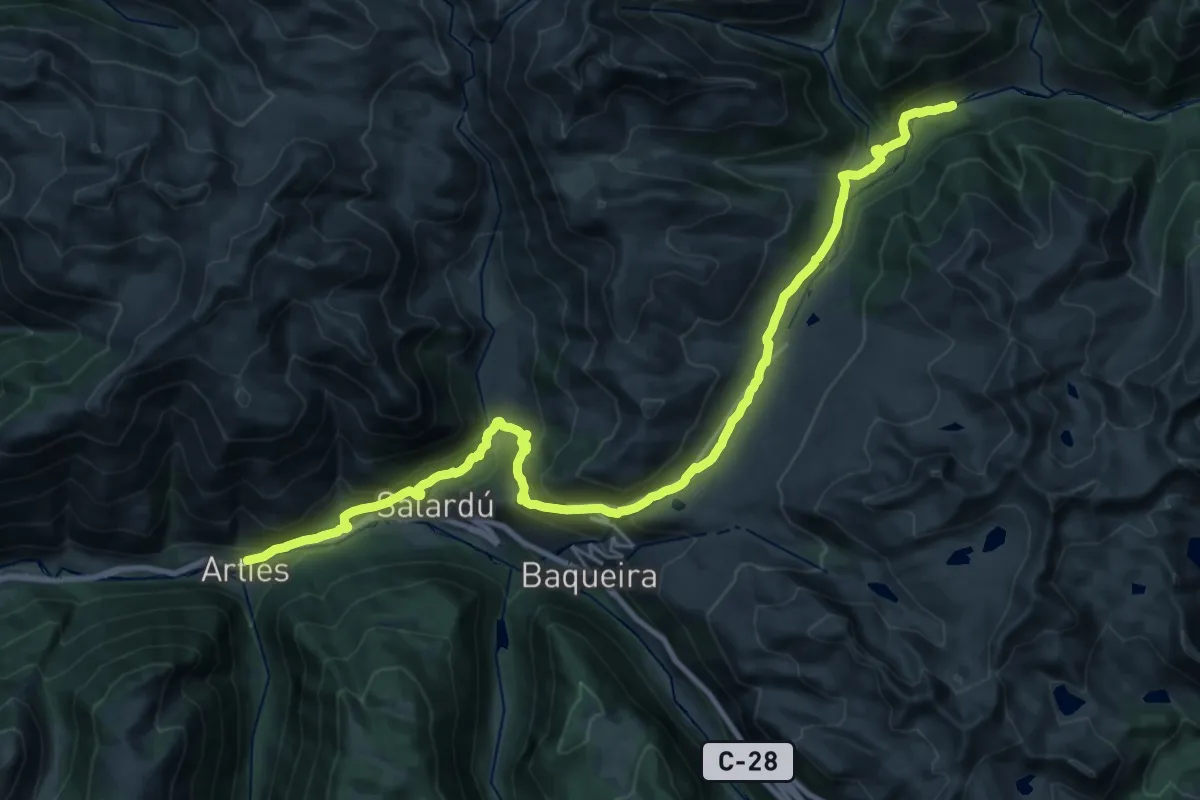
Demanding · Cabin
Camin Reiau - Etapa 3
16.4 km · ↑ 815 m · 5 h 36 min · 6 km away
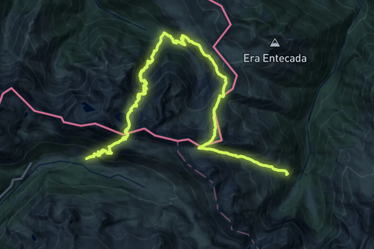
Demanding · Summit
Tour de l'Aneto
18.2 km · ↑ 1875 m · 8 h 29 min · 8 km away
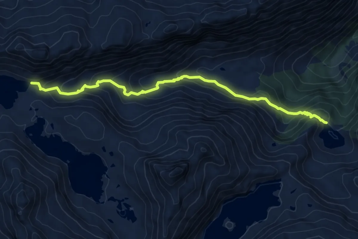
Demanding · Trail
HRP Variante 23.1
9.2 km · ↑ 624 m · 3 h 31 min · 9 km away
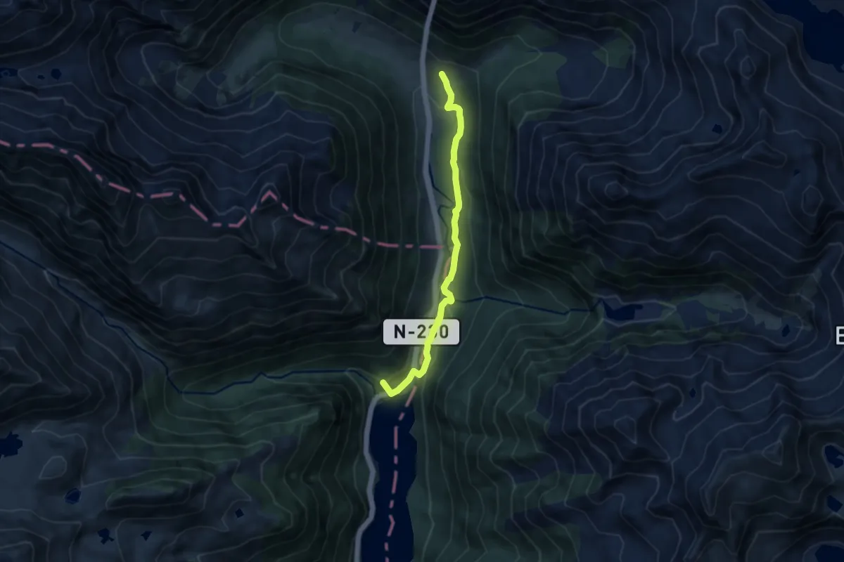
Medium · Summit
Variante 21.2
8.1 km · ↑ 278 m · 2 h 31 min · 9 km away
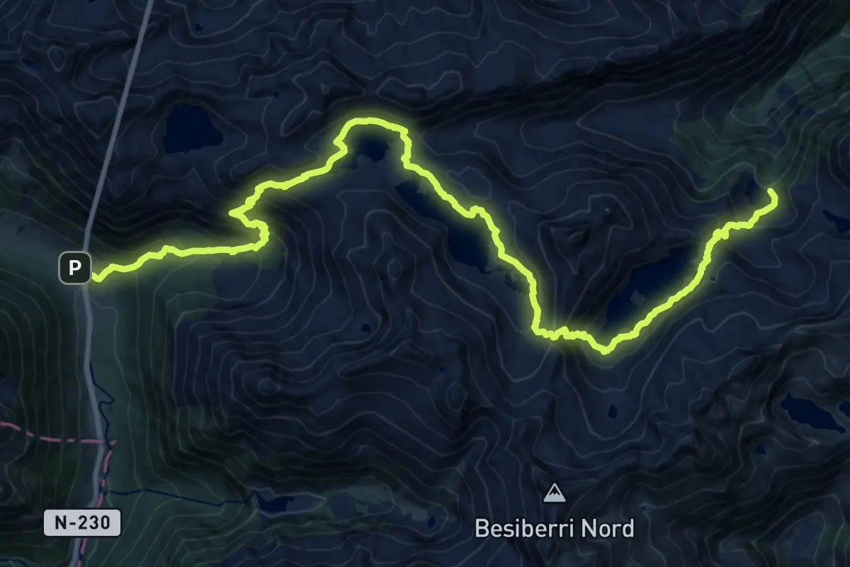
Demanding · Cabin
HRP Étape 23
13.2 km · ↑ 1039 m · 5 h 22 min · 9 km away
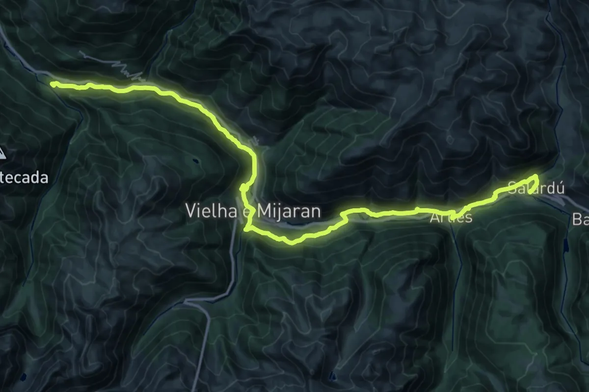
Demanding · Summit
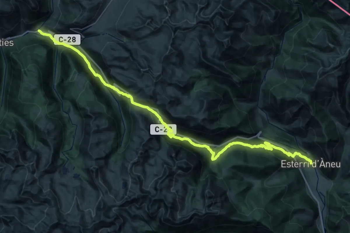
Ramat de Camins. Etapa 11 : Salardú => Bossòst
44.6 km · ↑ 1148 m · 13 h 1 min · 9 km away
Demanding · Trail
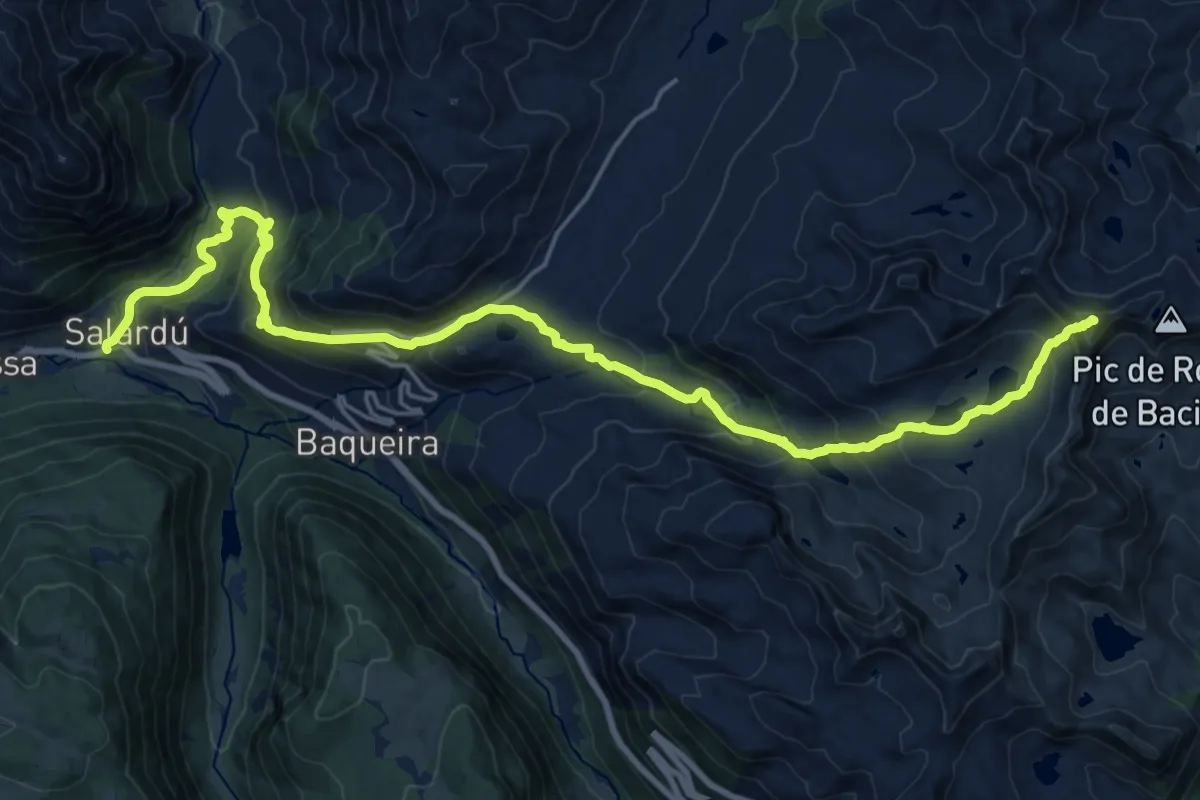
Ramat de Camins. Etapa 10 : Esterri d'Àneu => Salardú
26.3 km · ↑ 1153 m · 9 h 13 min · 9 km away
Demanding · Summit
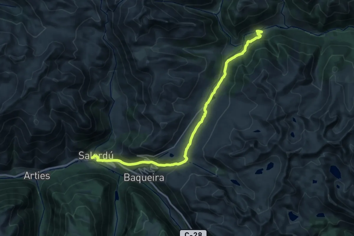
HRP Variante 25.1
25.5 km · ↑ 1507 m · 9 h 18 min · 9 km away
Demanding · Cabin
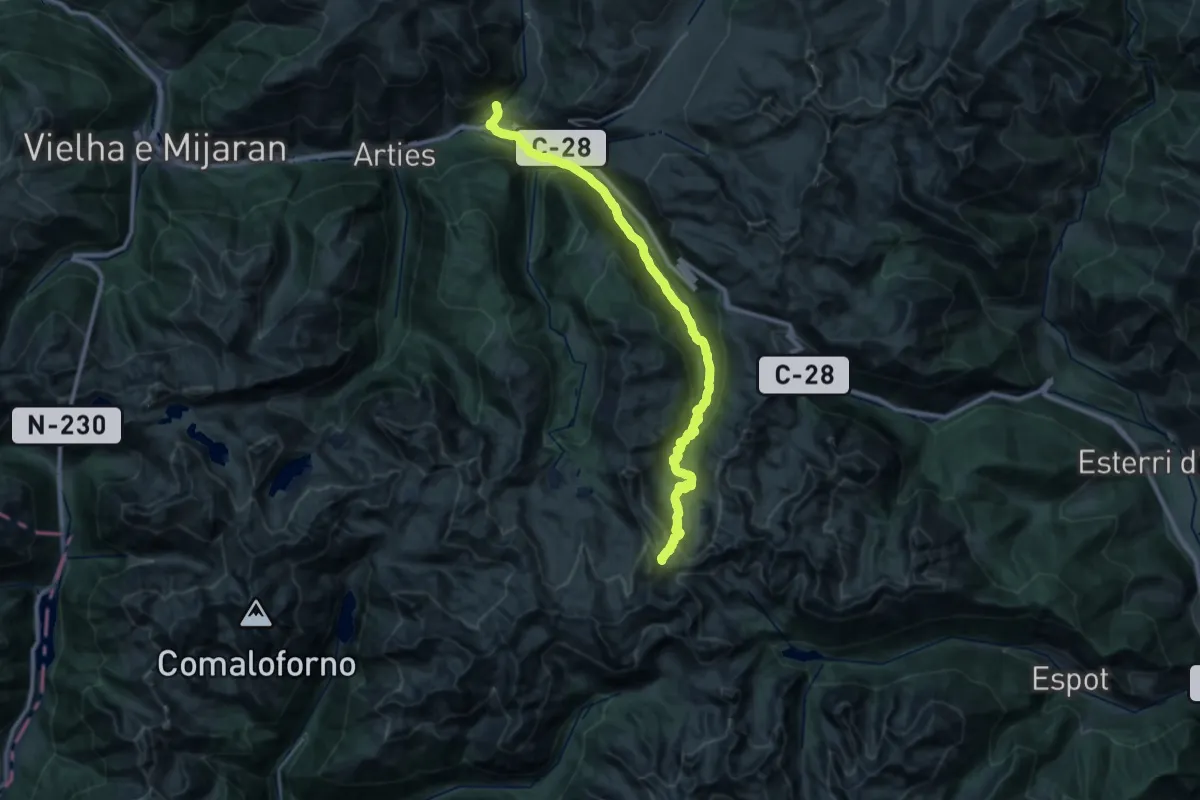
Camin Reiau - Etapa 2
24.9 km · ↑ 911 m · 7 h 52 min · 9 km away
Demanding · Trail
Sender circular de la Val d'Aran. Variant Pòrt de Ratèra de Colomèrs - Unha
17.1 km · ↑ 1369 m · 6 h 36 min · 9 km away
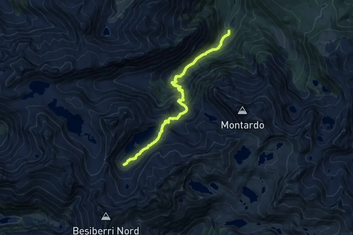
Demanding · Trail
Refuge de Restanca et lac de Mar
7.2 km · ↑ 88 m · 2 h 24 min · 10 km away
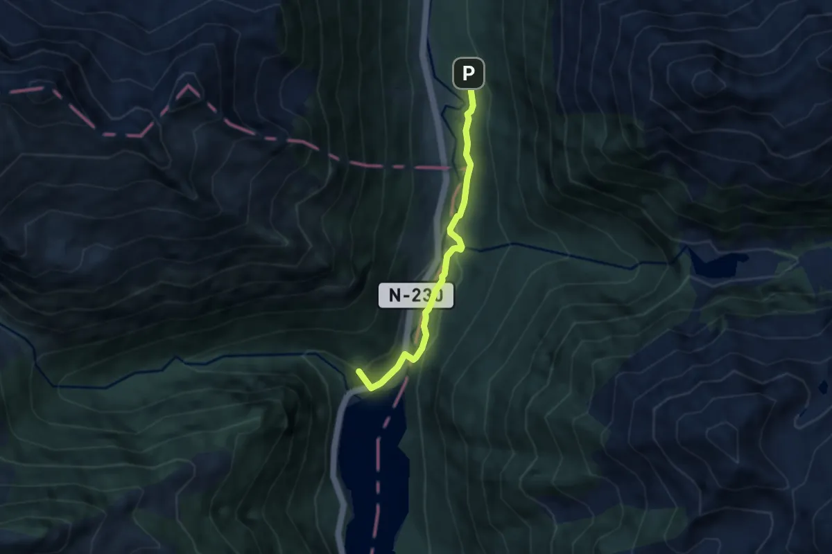
Easy · Summit
Senda Pirenaica - E20
5.5 km · ↑ 200 m · 1 h 44 min · 10 km away
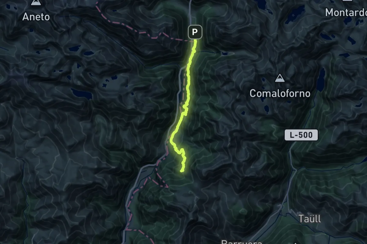
Demanding · Summit
Ramat de Camins. Etapa 14 : Refugi de Conangles => Barruera
20.8 km · ↑ 1073 m · 7 h 15 min · 10 km away
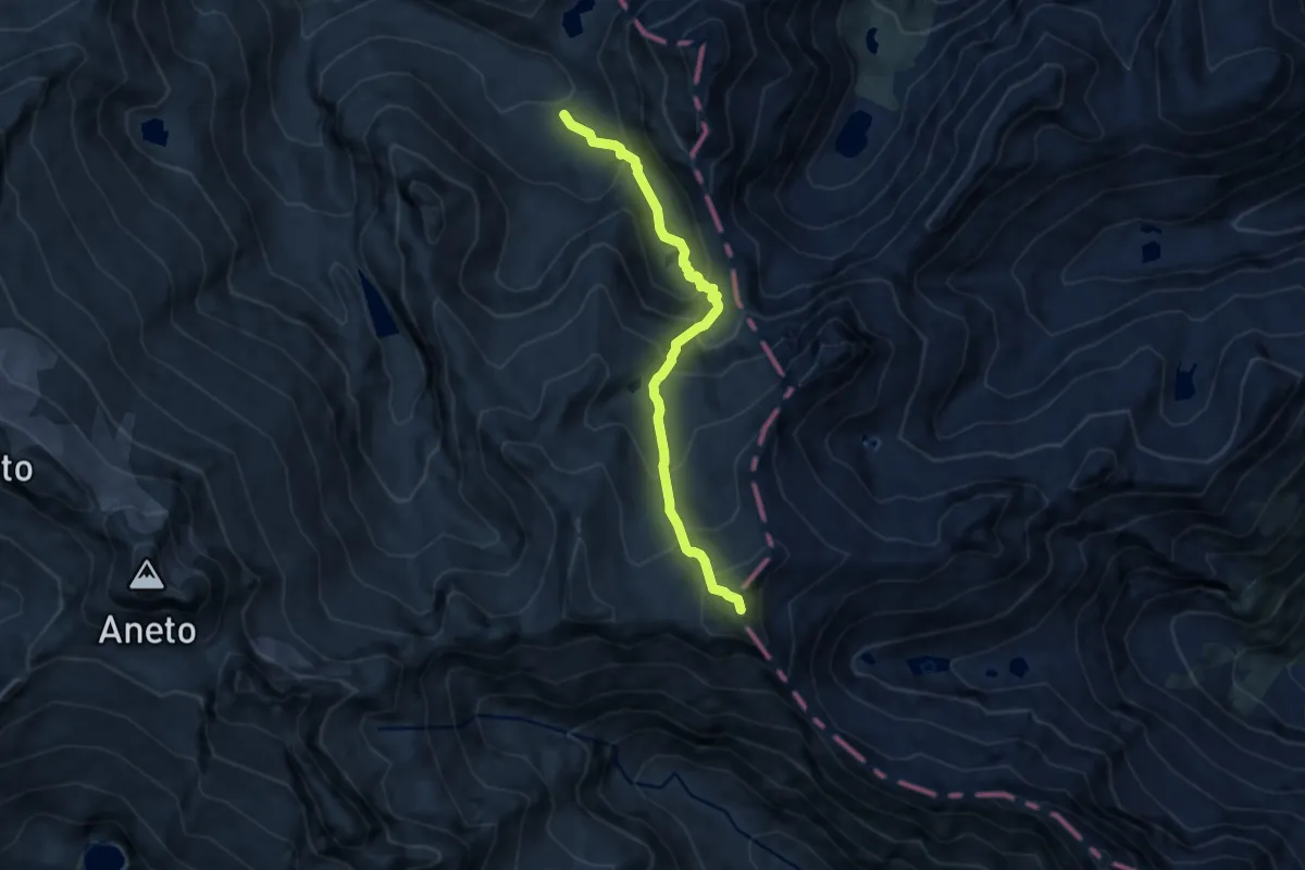
Expert · Summit
Étape 22
7.6 km · ↑ 779 m · 3 h 29 min · 10 km away
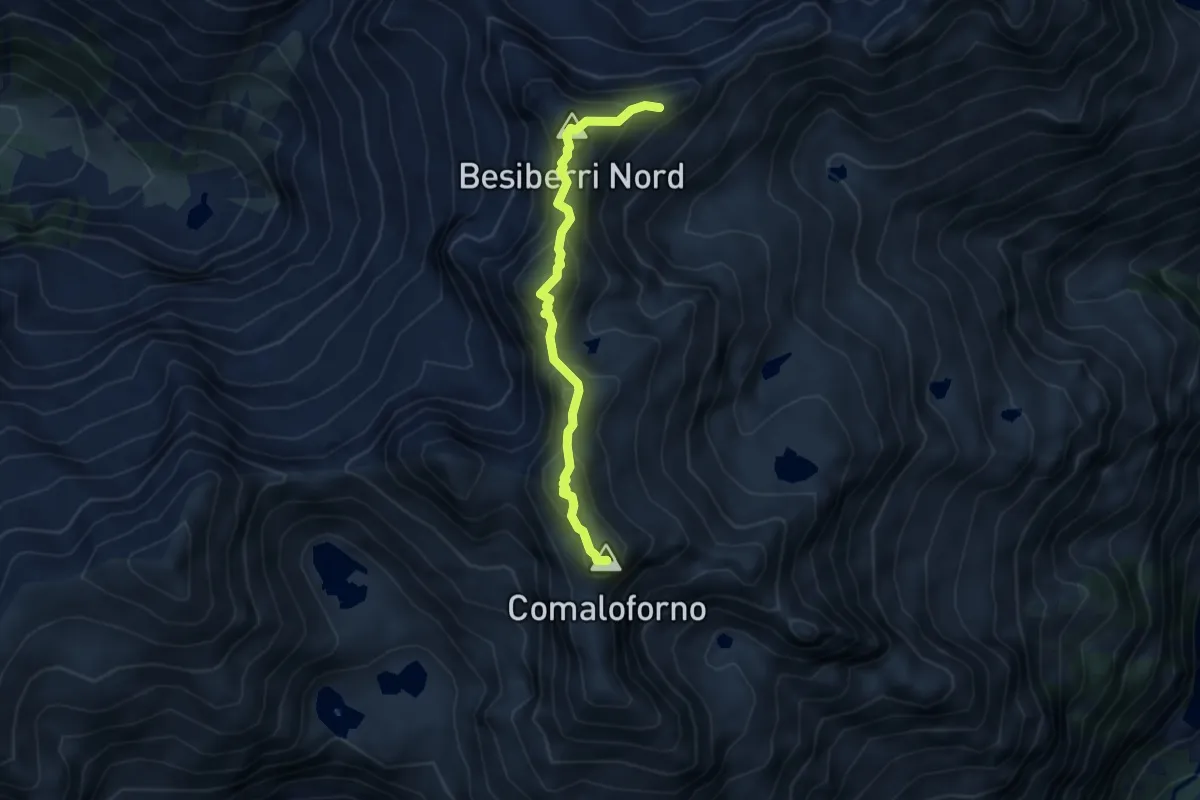
Expert · Summit
Cresta del Besiberri
4.4 km · ↑ 343 m · 1 h 47 min · 11 km away
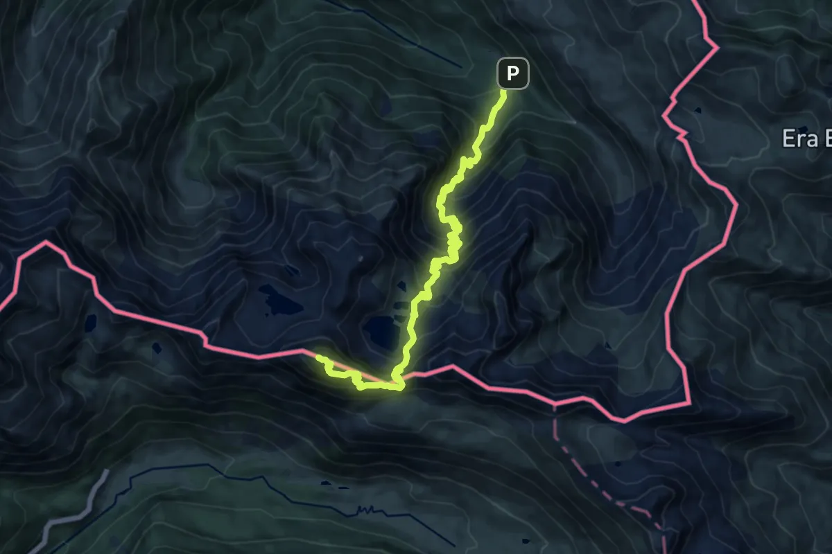
Demanding · Summit
Pic de la Sauvegarde
14.9 km · ↑ 1425 m · 6 h 37 min · 12 km away
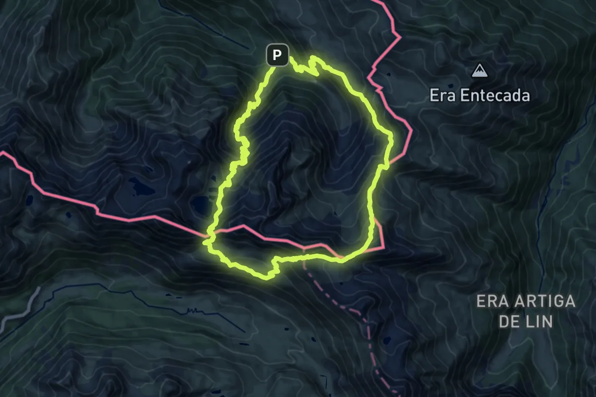
Demanding · Cabin
Grande boucle autour de l'Hospice de France
15.8 km · ↑ 1354 m · 6 h 54 min · 12 km away
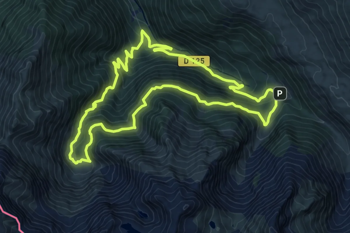
Demanding · Cabin
Cirque de la Glère
12.6 km · ↑ 803 m · 4 h 53 min · 12 km away
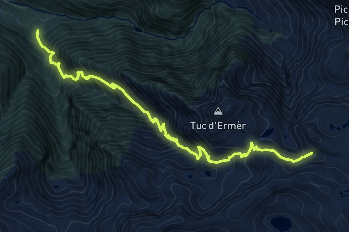
Demanding · Trail
Sender circular de la Val d'Aran. Variant Cap de les Comes de Liat - Eth Sarrat de Pièrres
12.7 km · ↑ 1437 m · 6 h 7 min · 12 km away
Expert · Summit
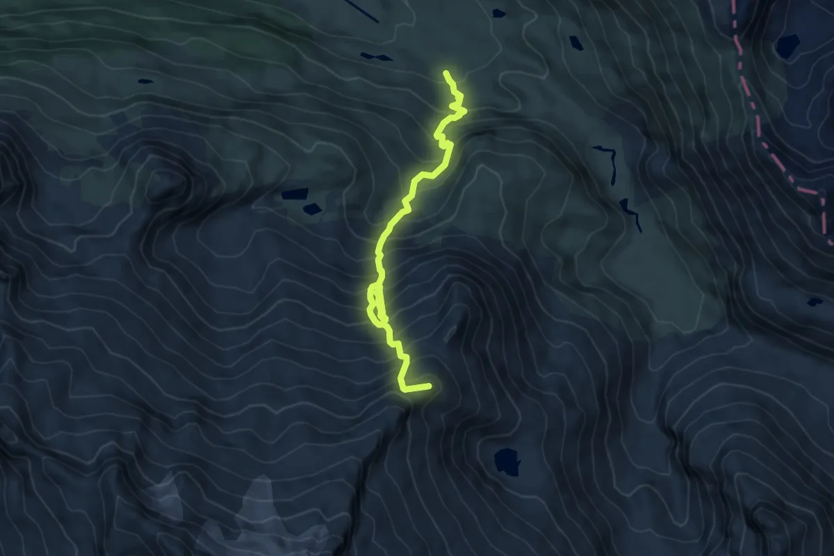
Variante 21.1
6.6 km · ↑ 1021 m · 3 h 47 min · 12 km away
Medium · Trail
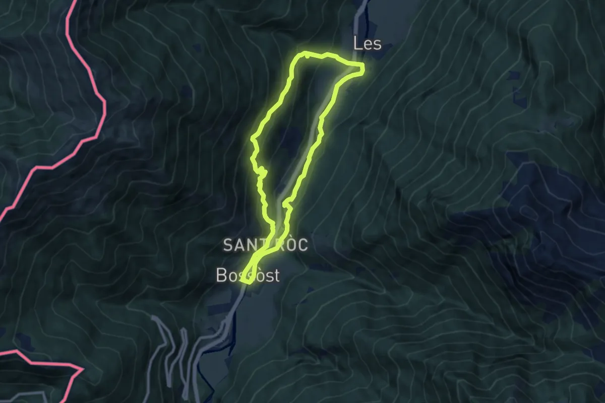
Espalias
8.1 km · ↑ 381 m · 2 h 51 min · 12 km away
Medium · Trail
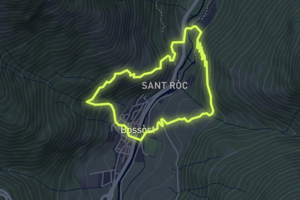
Soalas deth Casteràs
4.3 km · ↑ 310 m · 1 h 45 min · 12 km away
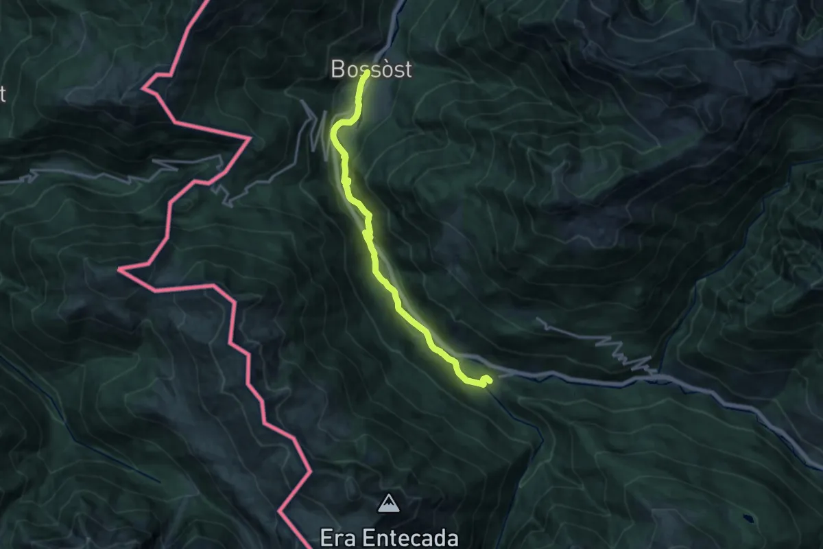
Medium · Summit
Camin Reiau - Etapa 8
15.0 km · ↑ 316 m · 4 h 14 min · 13 km away
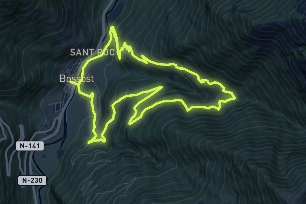
Medium · Trail
Bordes de Bossòst
10.6 km · ↑ 613 m · 4 h · 13 km away
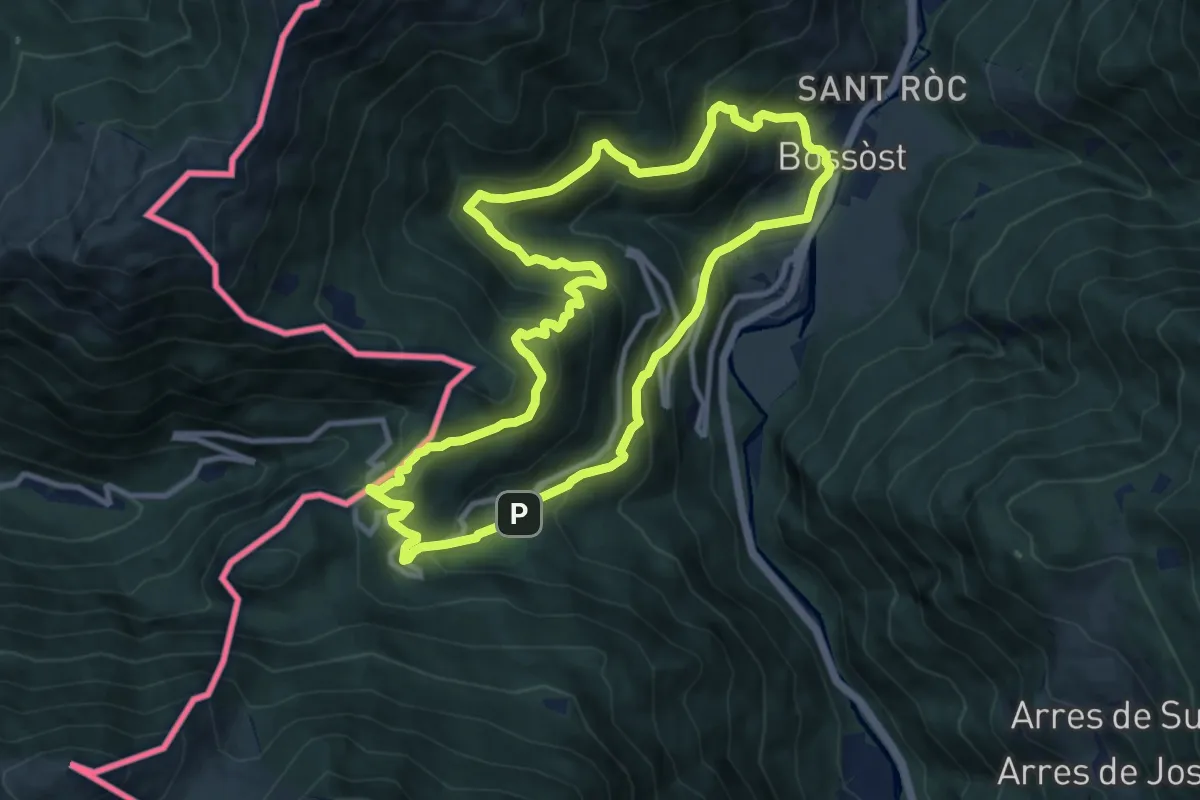
Medium · Summit
Portilhon
10.8 km · ↑ 795 m · 4 h 25 min · 13 km away
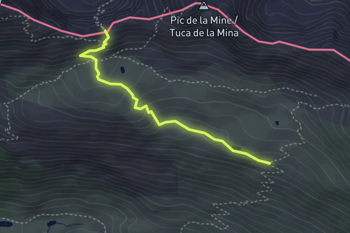
Medium · Trail
Transfronterizo
3.4 km · ↑ 190 m · 1 h 12 min · 13 km away
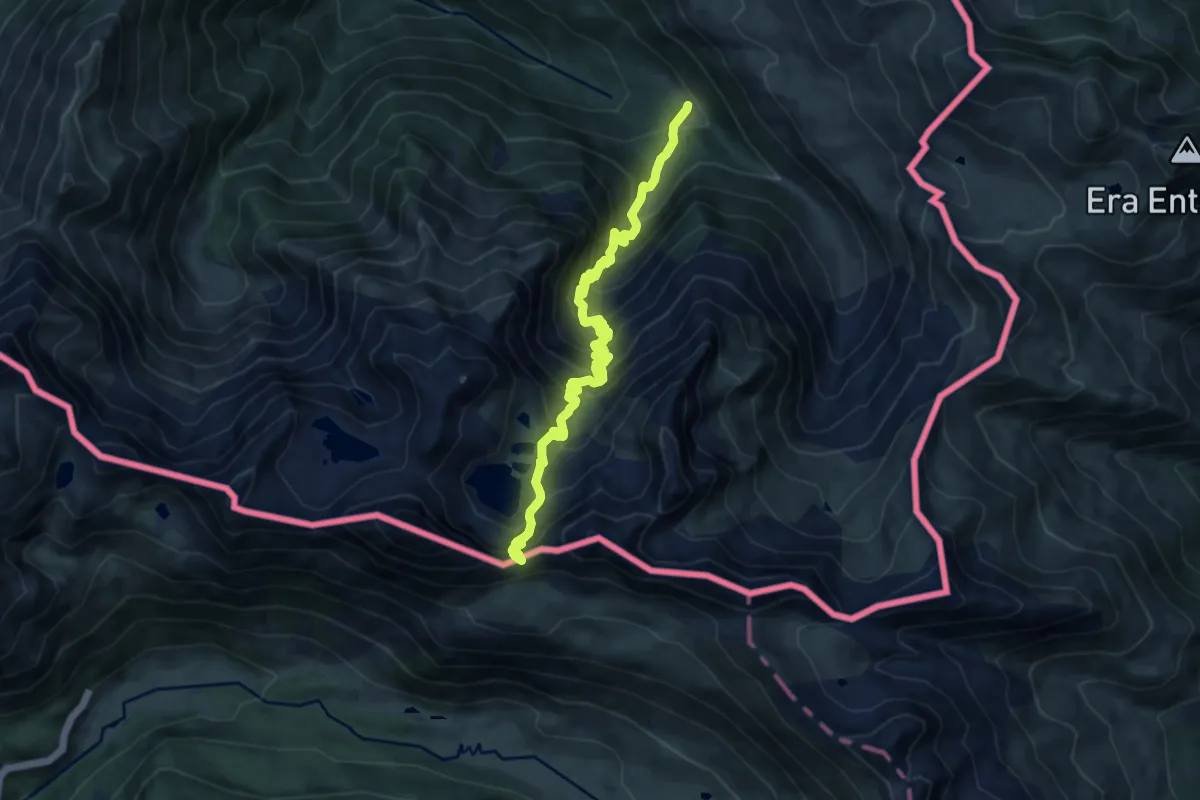
Demanding · Cabin
Refuge et Port de Vénasque
12.2 km · ↑ 1065 m · 5 h 11 min · 13 km away
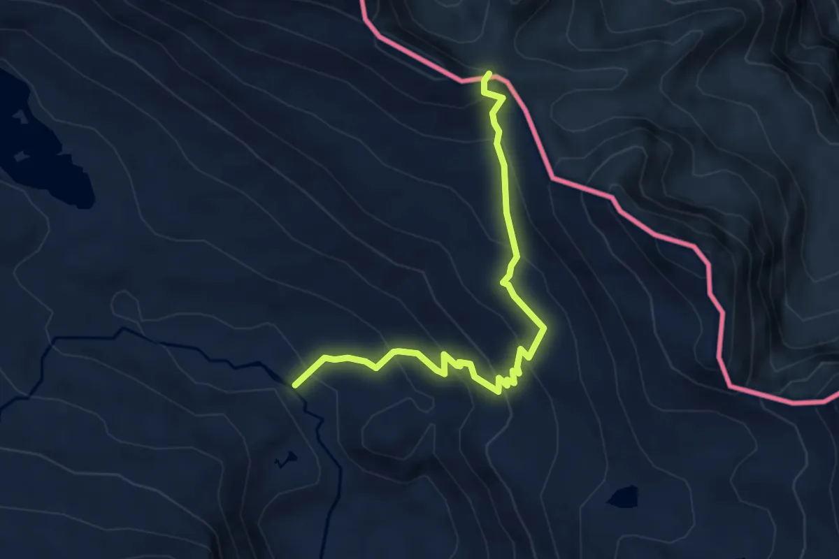
Medium · Summit
Plans del Pas Estret - Mines de Bentaillou
5.0 km · ↑ 359 m · 1 h 57 min · 13 km away
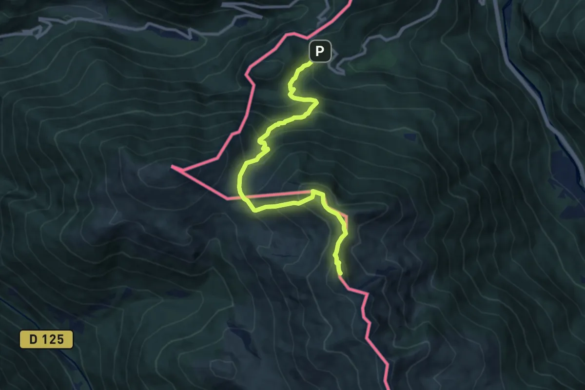
Demanding · Summit
Pic d'Arrès par le col du Portillon
10.1 km · ↑ 915 m · 4 h 22 min · 13 km away
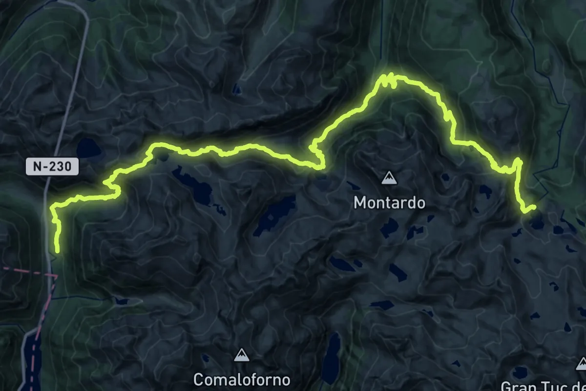
Demanding · Cabin
Senda Pirenaica - E19
25.0 km · ↑ 1484 m · 9 h 44 min · 13 km away
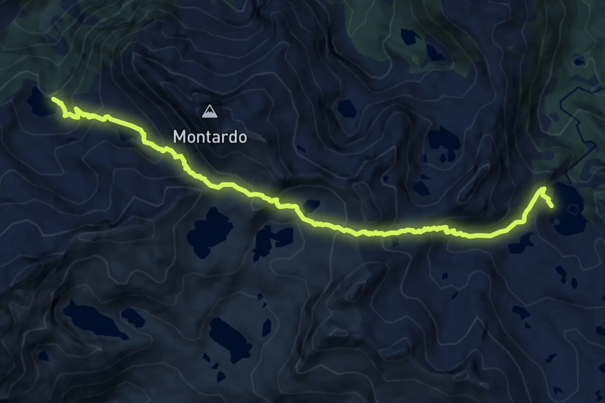
Demanding · Cabin
Variant Port de Caldes
14.4 km · ↑ 1204 m · 6 h · 13 km away
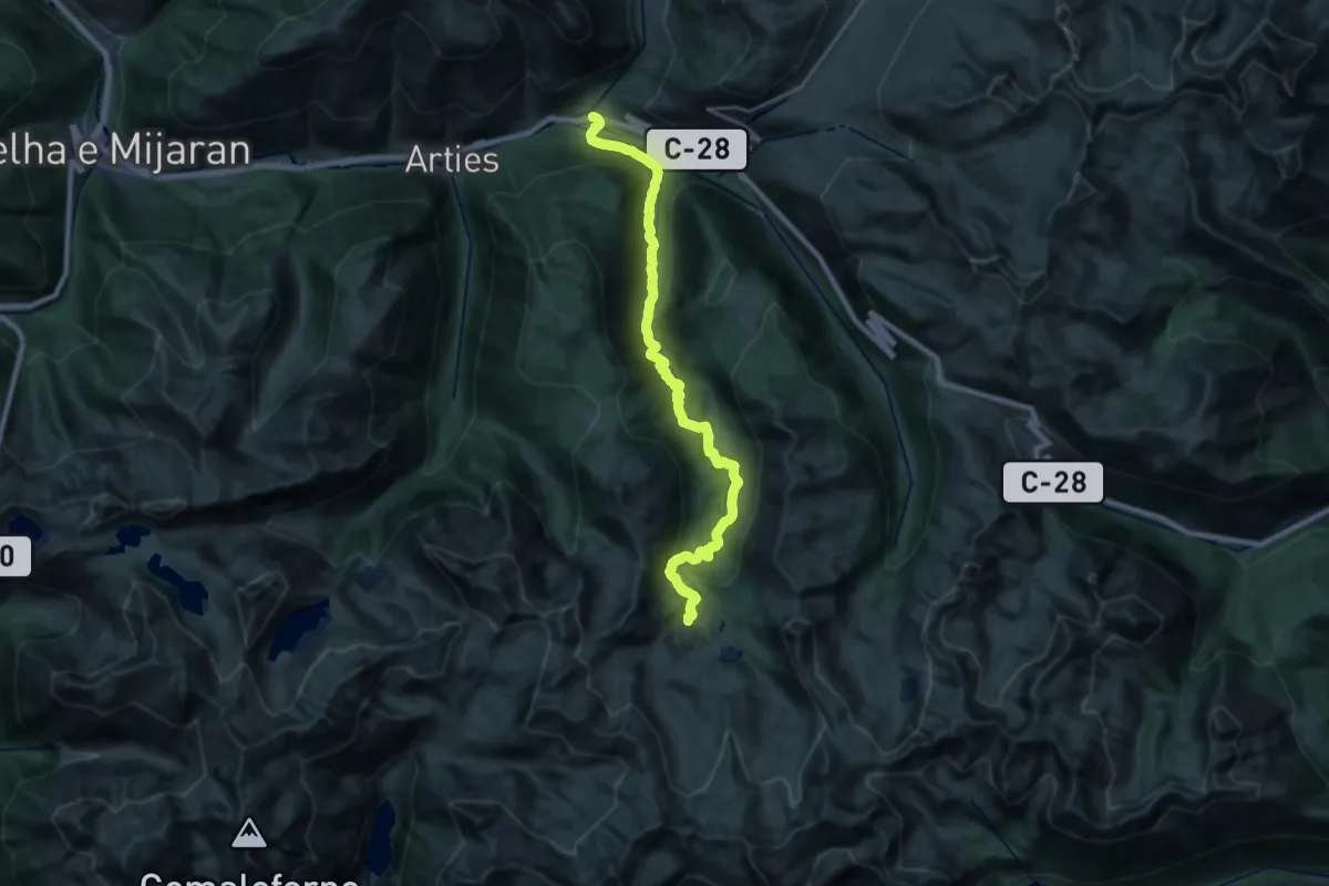
Medium · Trail
HRP Variante 24.1
13.0 km · ↑ 45 m · 3 h 47 min · 13 km away
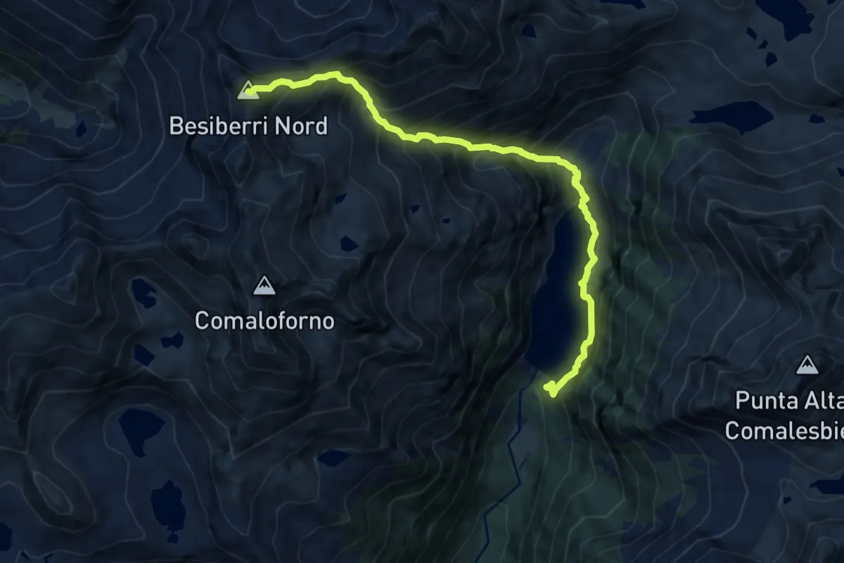
Expert · Summit
Presa de Cavallers-Besiberri Nord
10.8 km · ↑ 1456 m · 5 h 42 min · 14 km away
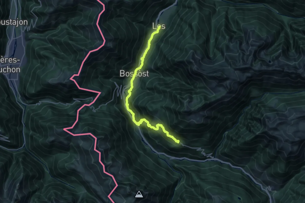
Demanding · Trail
Camin Reiau - Etapa 6
12.0 km · ↑ 851 m · 4 h 33 min · 14 km away
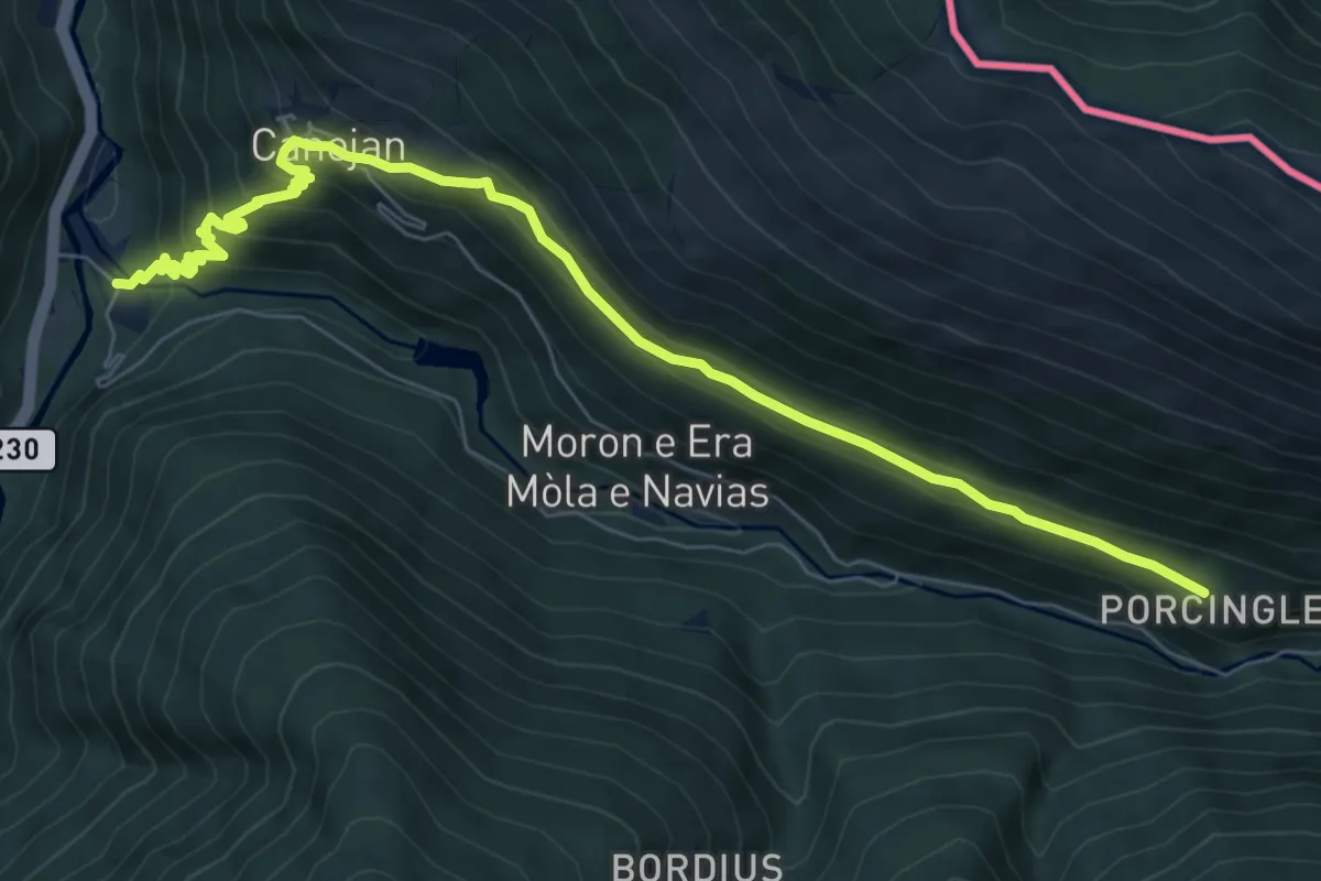
Medium · Trail
Camins miners i contrabandistes
8.9 km · ↑ 510 m · 3 h 13 min · 14 km away
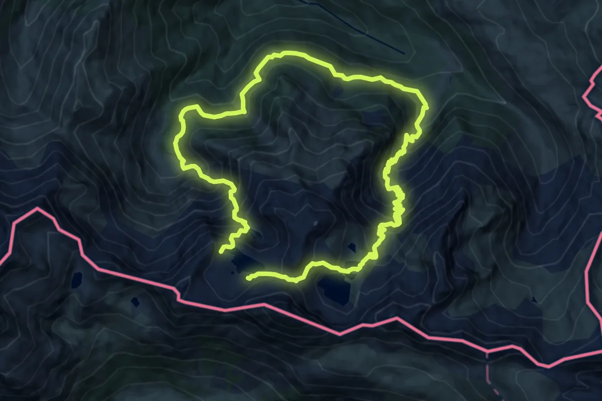
Demanding · Trail
Le Pic de la Montagnette depuis l'Hospice de France
12.1 km · ↑ 1260 m · 5 h 46 min · 14 km away
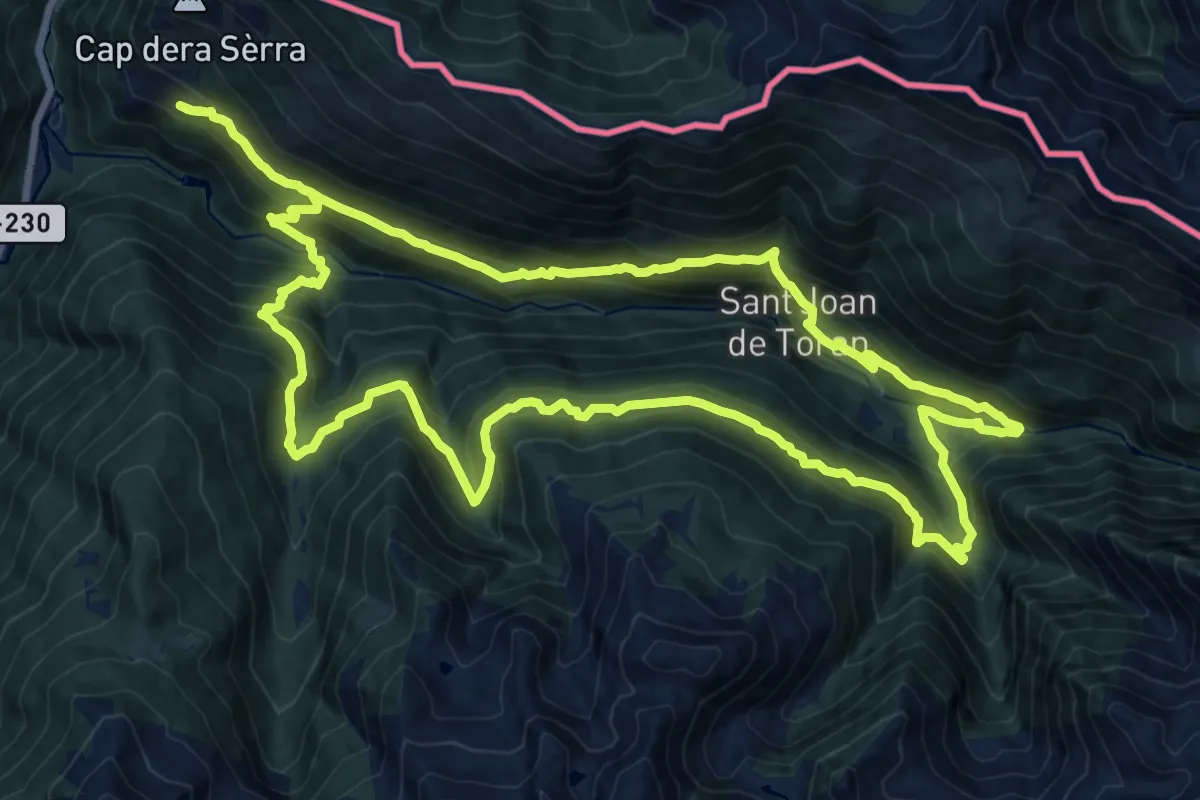
Demanding · Trail
Camin Reiau - Variant Canejan
20.3 km · ↑ 1394 m · 8 h 6 min · 14 km away
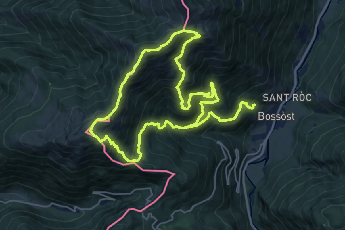
Demanding · Summit
Tuc de Tujastó
15.8 km · ↑ 1415 m · 7 h · 14 km away