Trails near Vilafranca del Penedès
20 hikes starting within 15 km, nearest first.
Nearest first
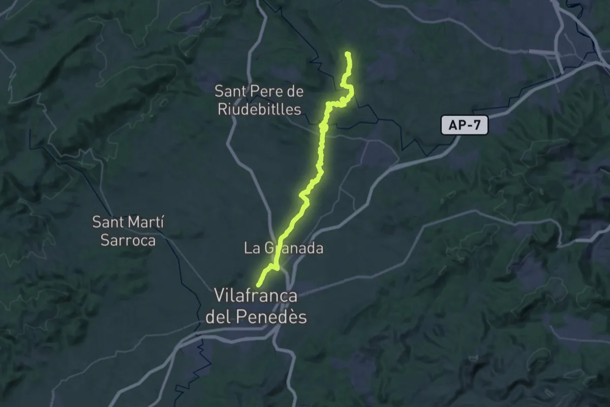
Demanding · Summit
Vilafranca del Penedès a Piera
40.3 km · ↑ 781 m · 11 h 12 min · 1 km away
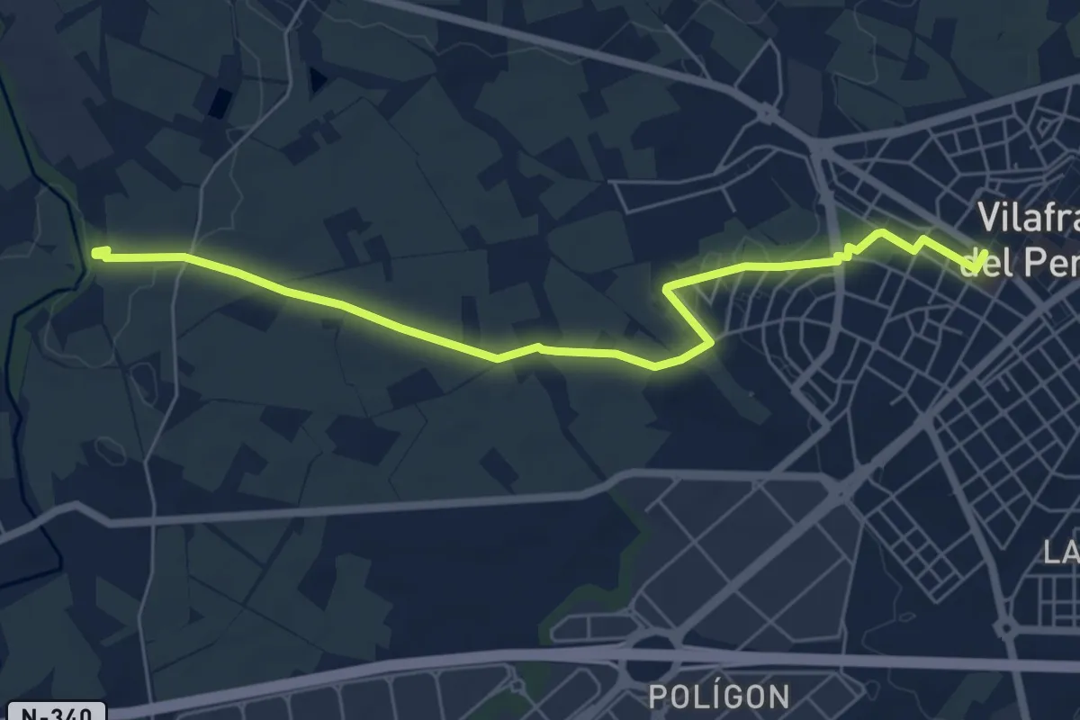
Easy · Trail
Camí del vi
7.1 km · ↑ 62 m · 1 h 49 min · 3 km away
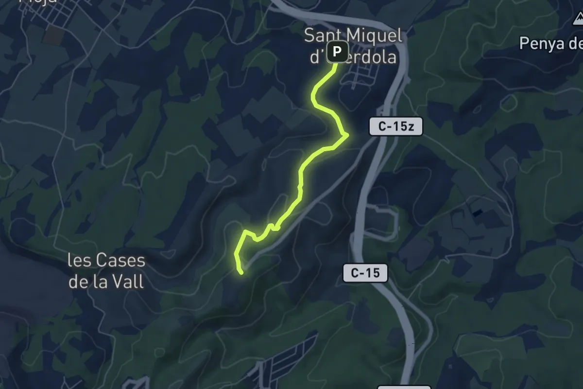
Easy · Trail
Castell d'Olèrdola-Sant Miquel d'Olèrdola
5.4 km · ↑ 191 m · 1 h 42 min · 3 km away
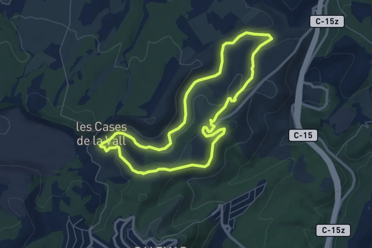
Easy · Trail
SL-C 131 Ruta de les Fonts i els Forns
6.5 km · ↑ 177 m · 2 h · 5 km away
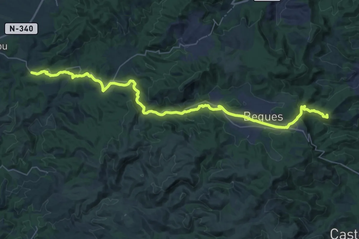
Demanding · Summit
Camí Ral de Barcelona a Vilafranca
35.0 km · ↑ 748 m · 9 h 53 min · 9 km away
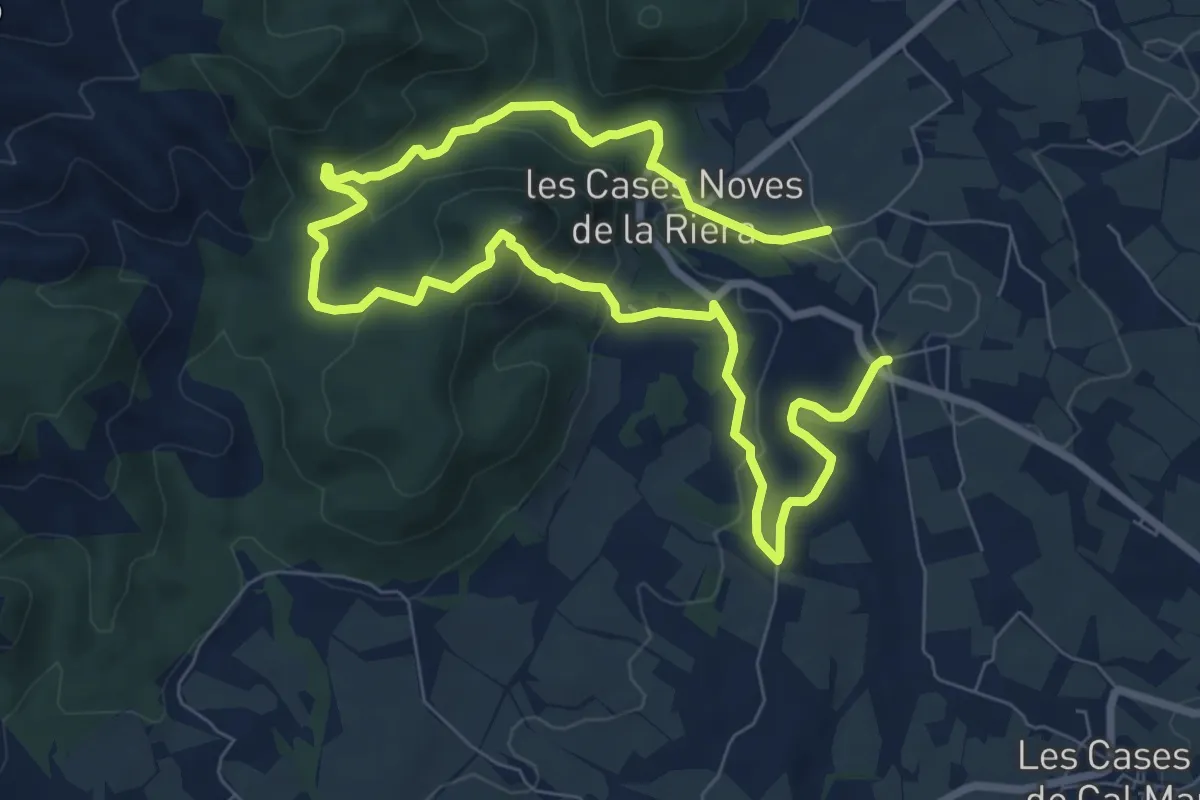
Medium · Summit
Cases Noves-El Maset
6.8 km · ↑ 229 m · 2 h 11 min · 9 km away
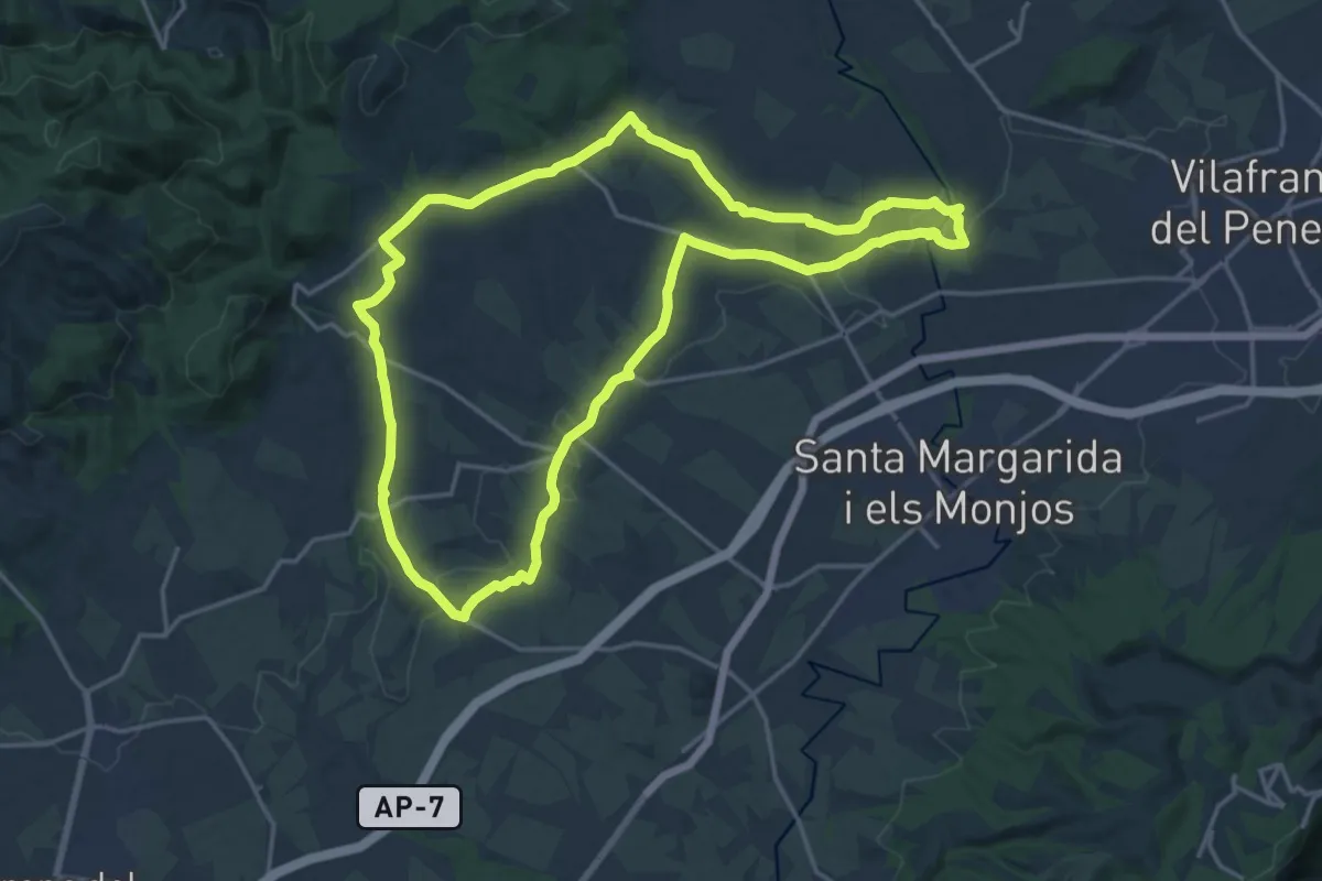
Demanding · Trail
La Múnia
19.7 km · ↑ 135 m · 5 h 12 min · 9 km away
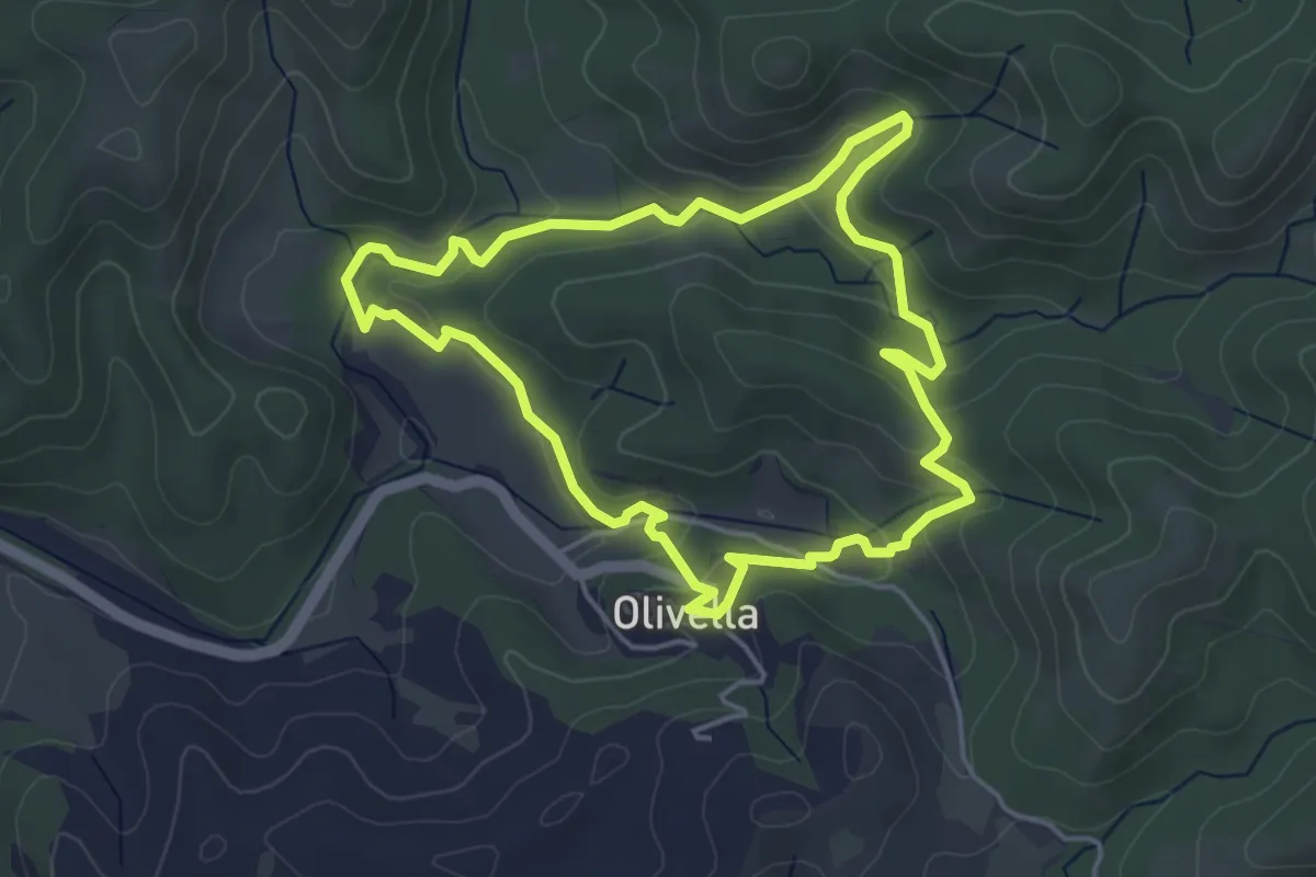
Medium · Trail
Castell Vell d'Olivella
4.7 km · ↑ 164 m · 1 h 32 min · 10 km away
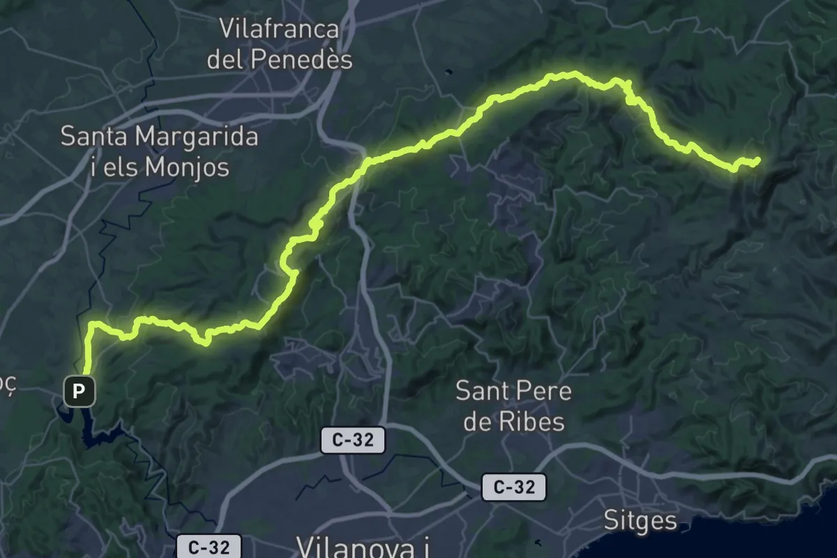
Demanding · Summit
Variant: La Clota - Castellet
56.9 km · ↑ 1829 m · 17 h 24 min · 10 km away
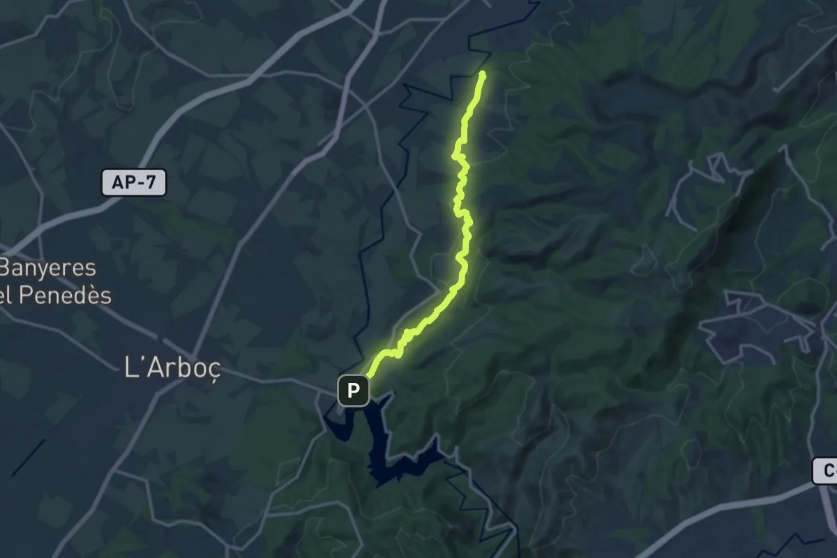
Medium · Trail
Penyafort-Castellet
13.5 km · ↑ 299 m · 3 h 51 min · 11 km away
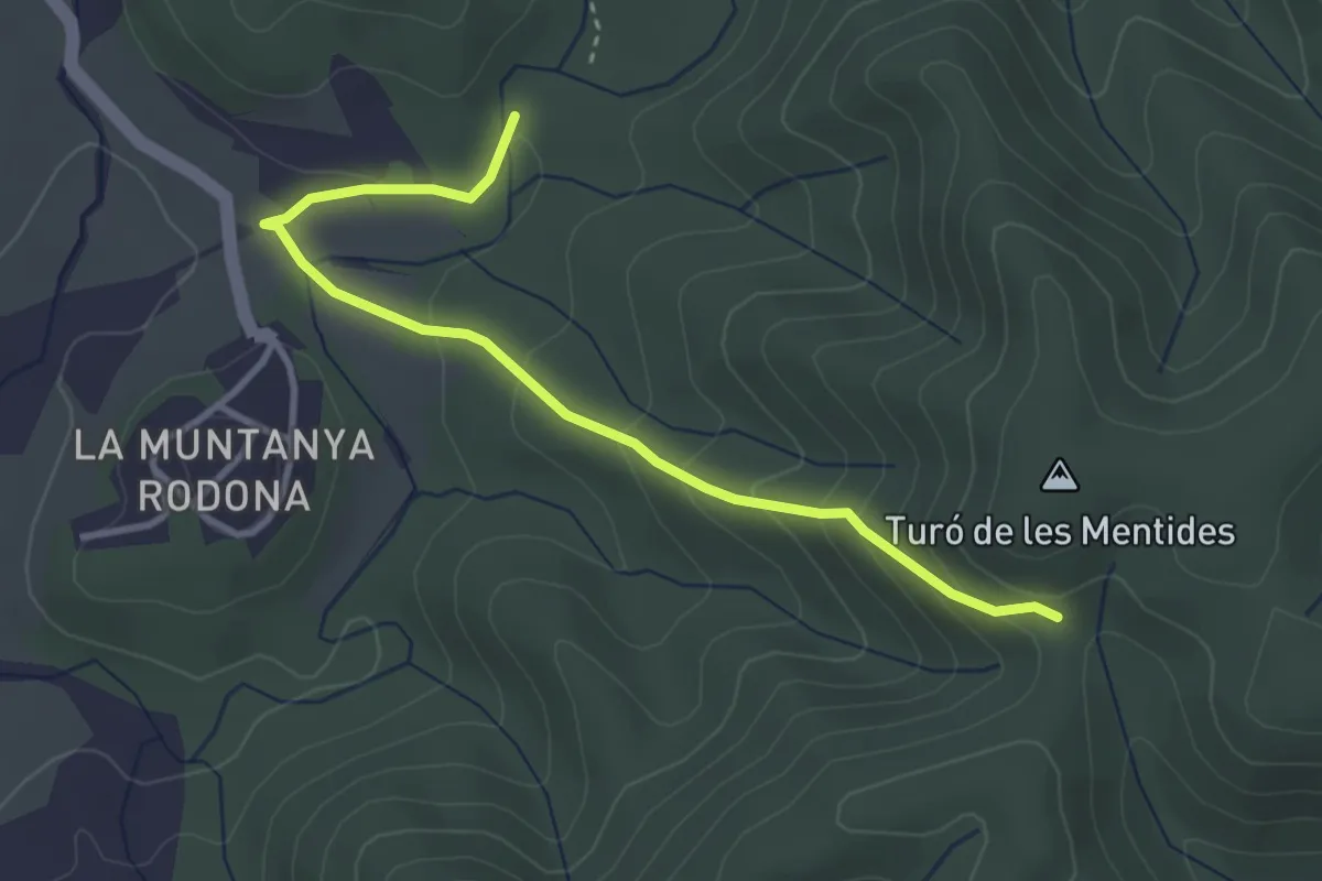
Easy · Trail
Variant PR-C 156 Garnatxa: Coll d'Esteles - Muntanya del Rovira
3.9 km · ↑ 212 m · 1 h 22 min · 11 km away
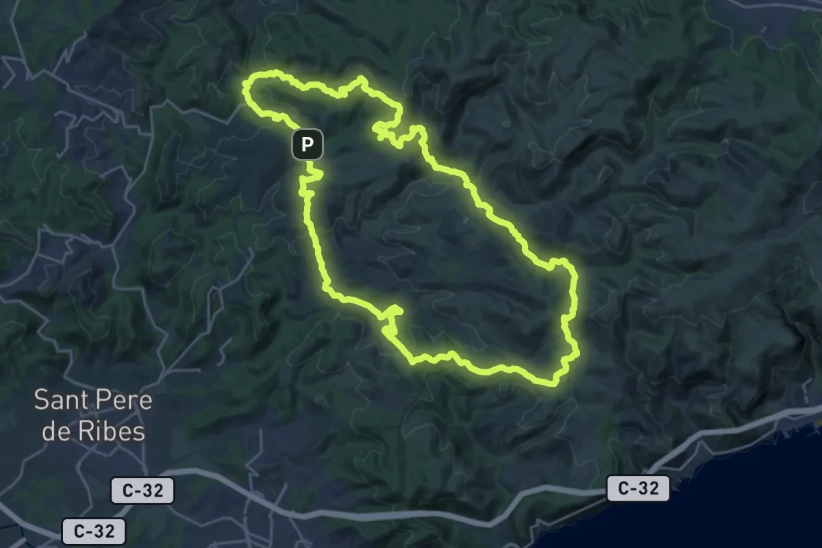
Demanding · Summit
Olivella
24.9 km · ↑ 740 m · 7 h 50 min · 11 km away
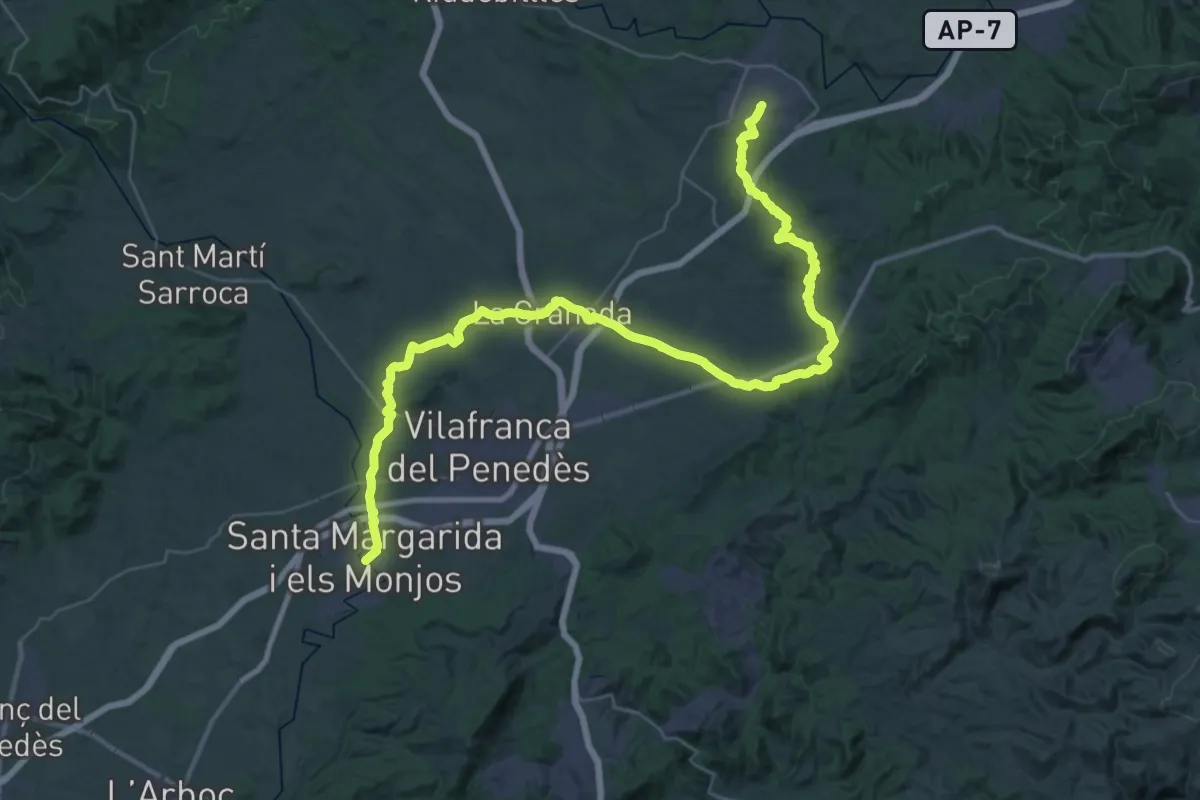
Demanding · Trail
Els Monjos - Sant Sadurní
28.0 km · ↑ 339 m · 7 h 45 min · 11 km away
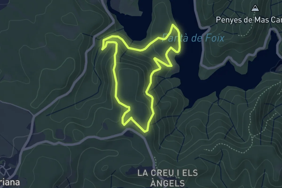
Easy · Trail
La Font d'Horta
4.1 km · ↑ 148 m · 1 h 20 min · 11 km away
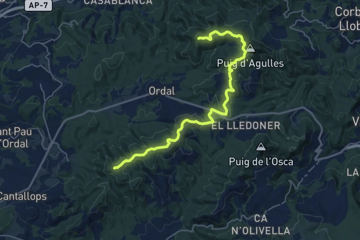
Demanding · Summit
Variant PR-C 156 Garnatxa: Turó de les Mentides - La Creueta
19.8 km · ↑ 645 m · 6 h 4 min · 12 km away
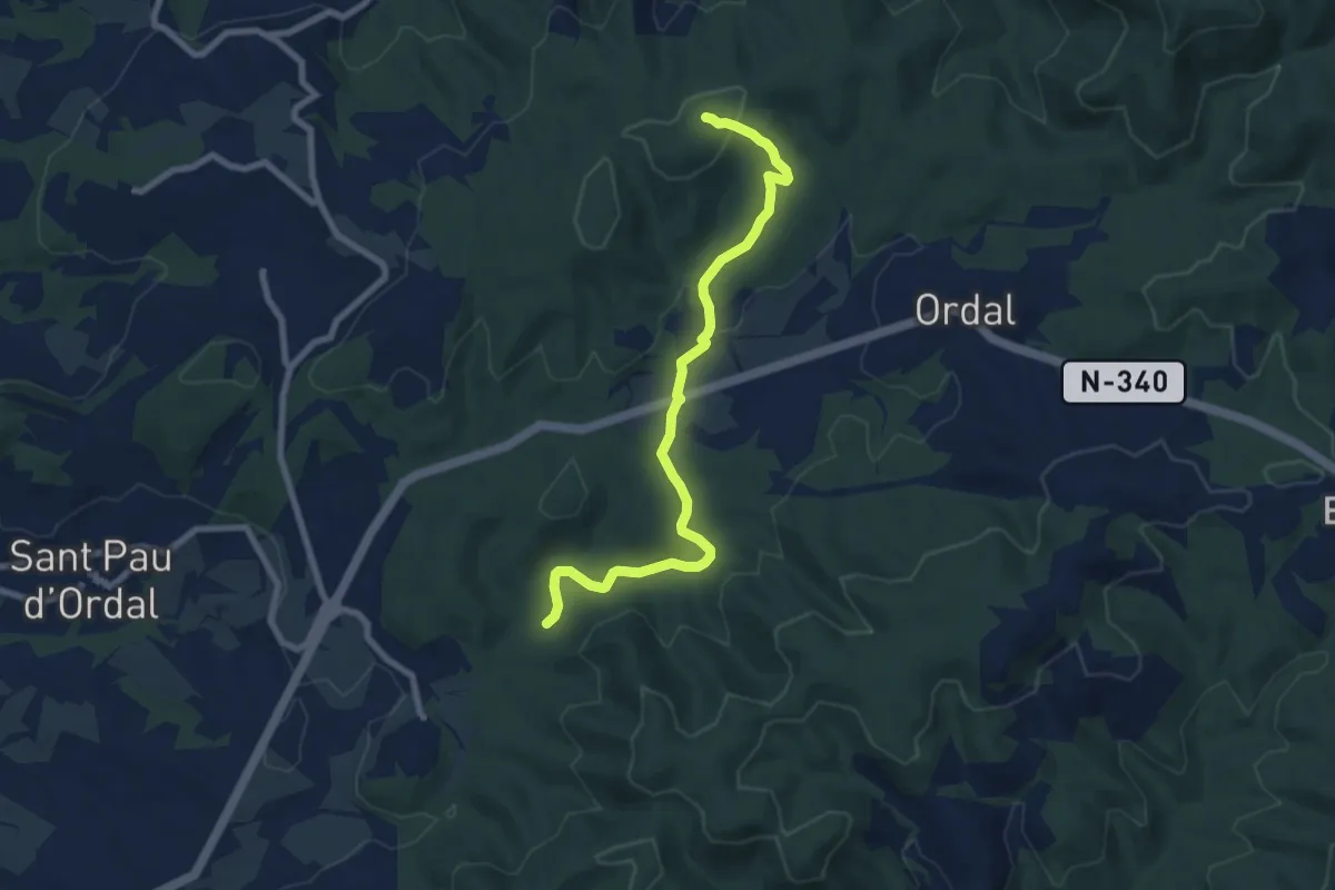
Medium · Trail
Variant PR-C 156 Garnatxa: Camí dels Vidriers - La Creueta
8.8 km · ↑ 239 m · 2 h 35 min · 13 km away
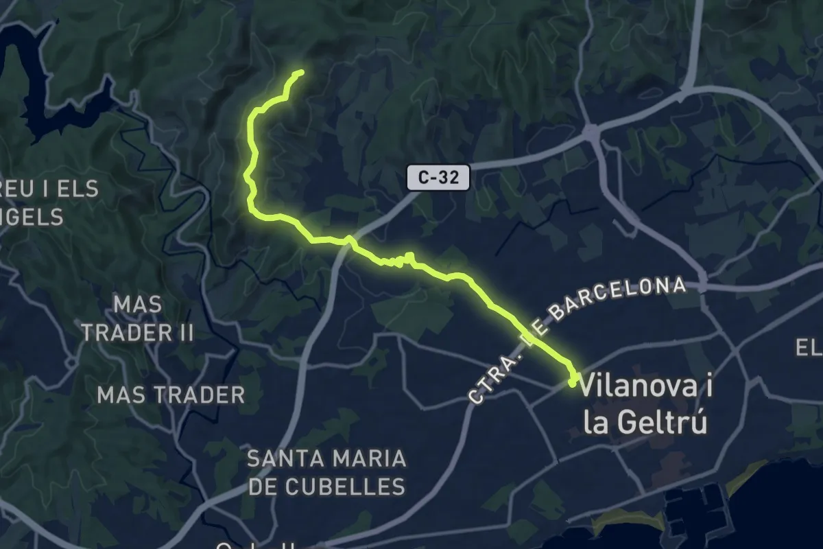
Medium · Summit
Variant Les Palmeres
14.3 km · ↑ 336 m · 4 h 6 min · 13 km away
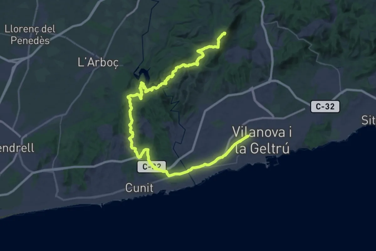
Demanding · Summit
Garraf
51.7 km · ↑ 1121 m · 14 h 38 min · 13 km away
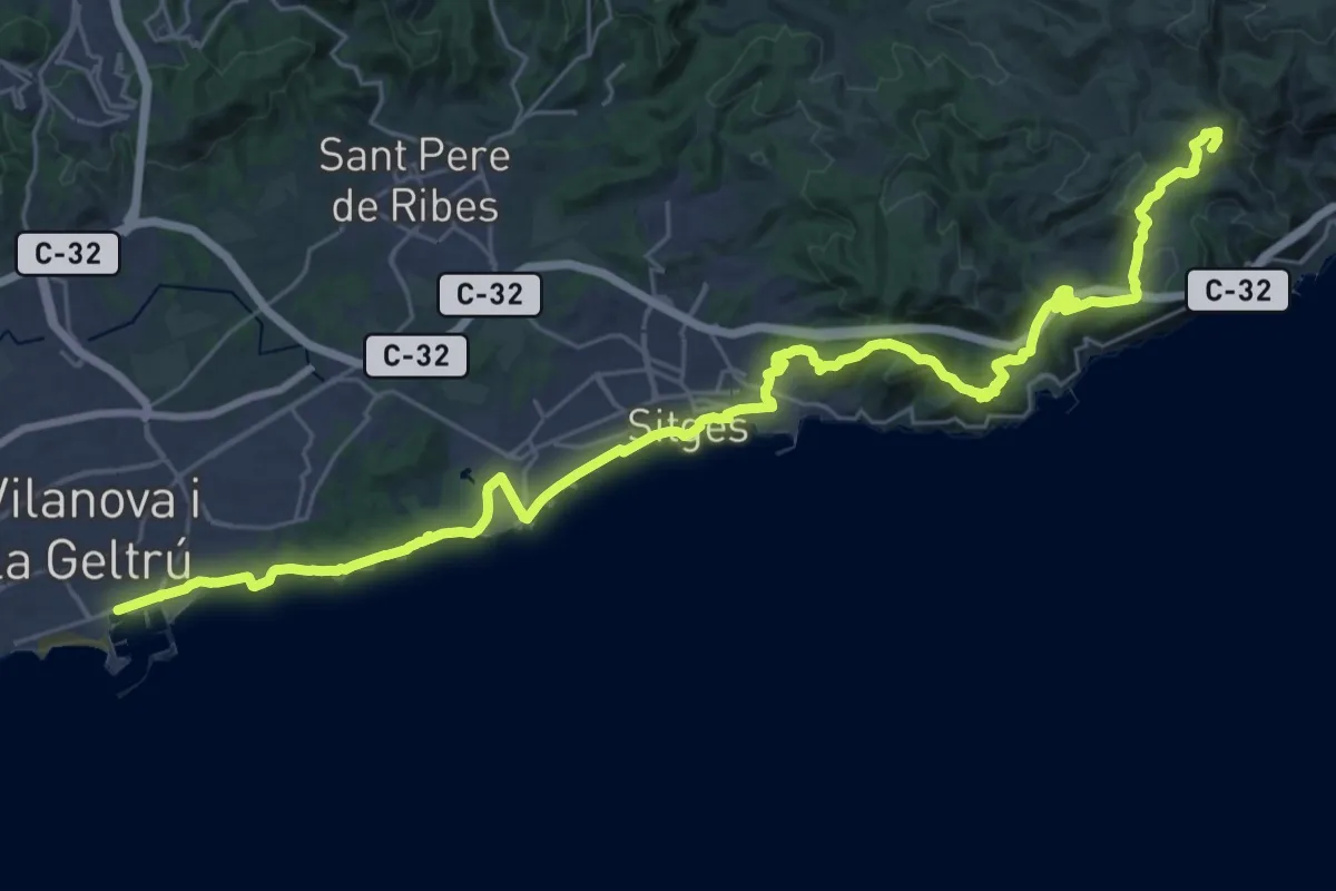
Demanding · Summit
Catalunya E22
40.6 km · ↑ 947 m · 11 h 38 min · 15 km away
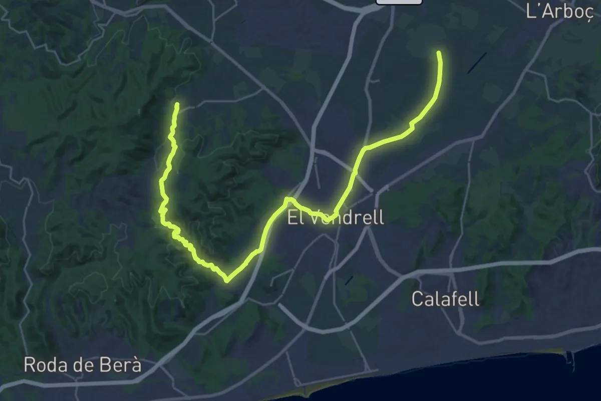
Medium · Trail
Santa Oliva-El Vendrell-Albinyana
16.1 km · ↑ 256 m · 4 h 33 min · 15 km away