Trails near Villarcayo
31 hikes starting within 15 km, nearest first.
Nearest first
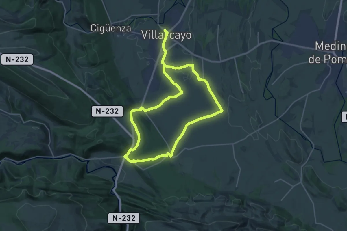
Medium · Trail
Sendas de Rebollarejo
17.0 km · ↑ 196 m · 4 h 41 min · under 1 km away
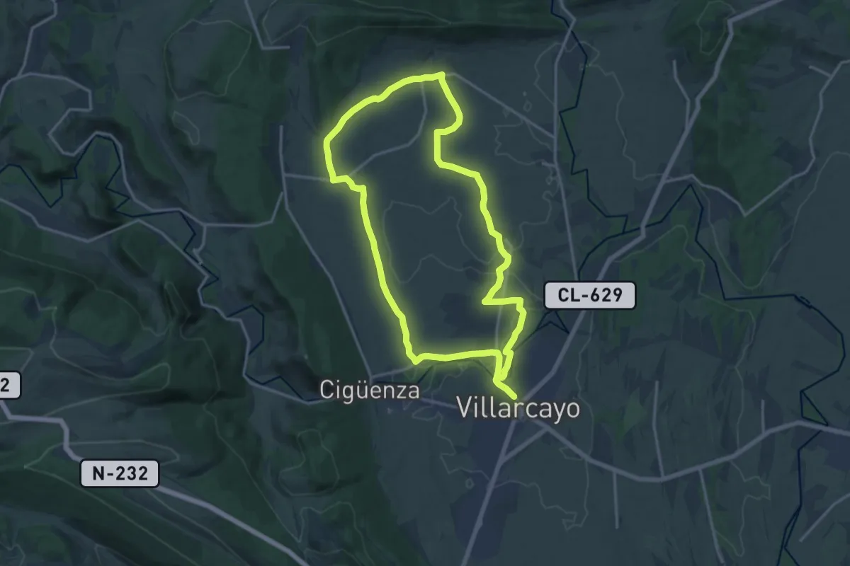
Medium · Trail
Llanos de Castilla la Vieja
15.1 km · ↑ 88 m · 3 h 58 min · 1 km away
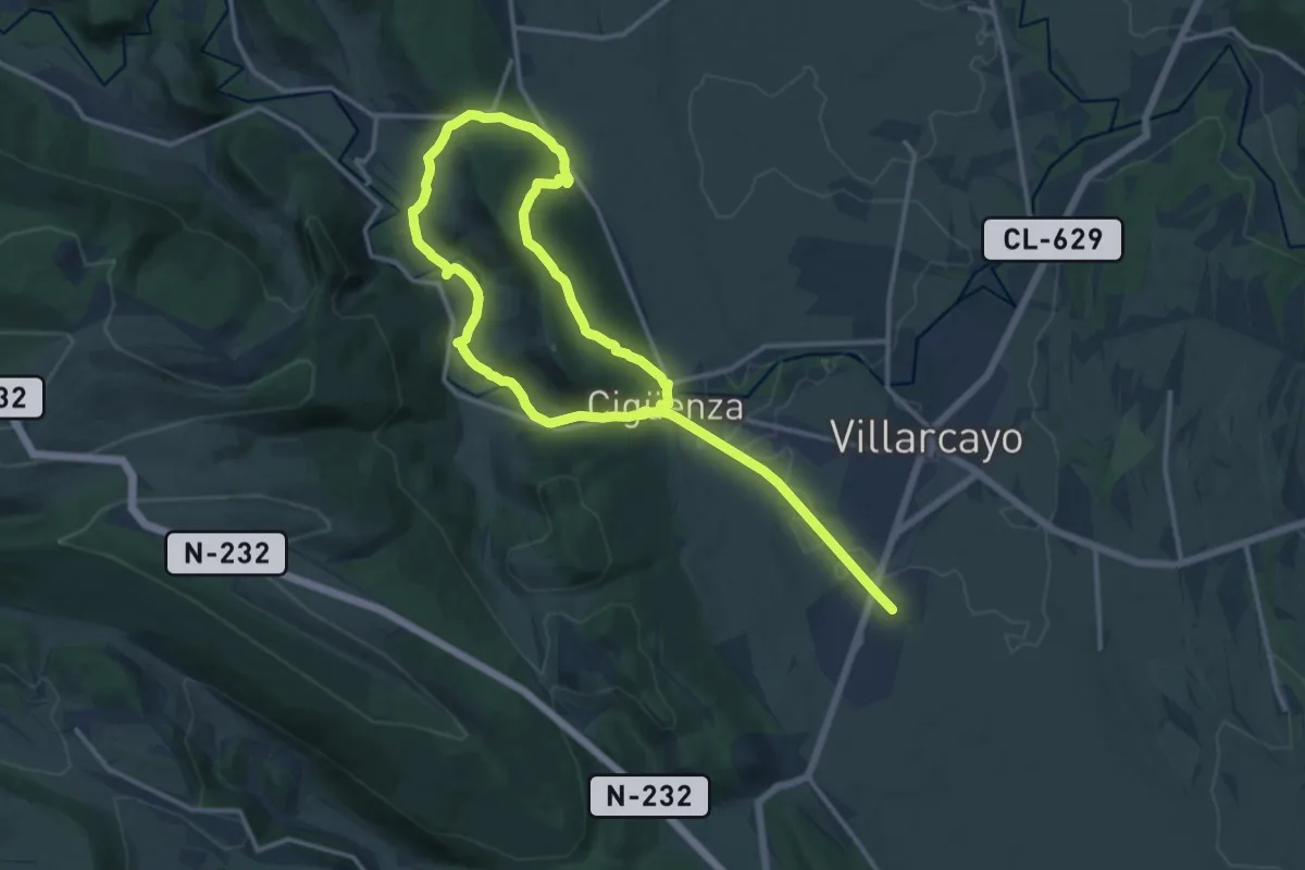
Demanding · Trail
La Riberal del Nela
24.5 km · ↑ 541 m · 6 h 57 min · 2 km away
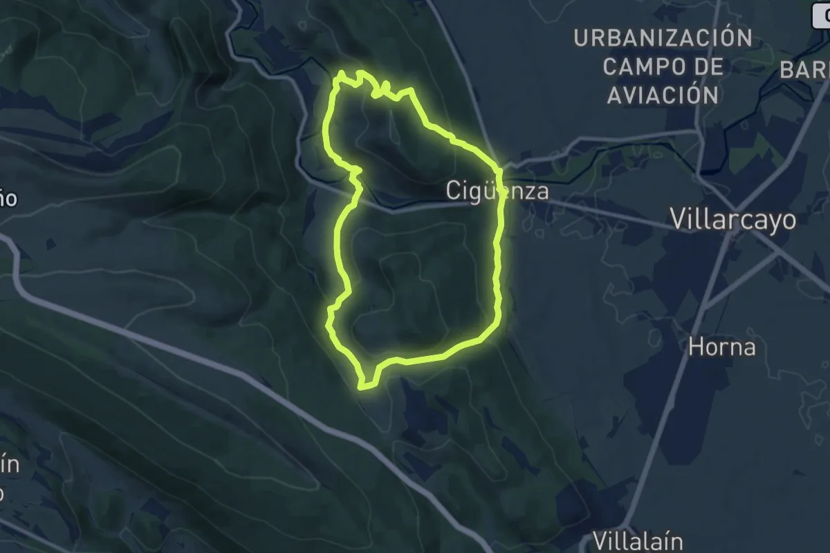
Medium · Trail
La Canaleja
9.5 km · ↑ 393 m · 3 h 13 min · 2 km away
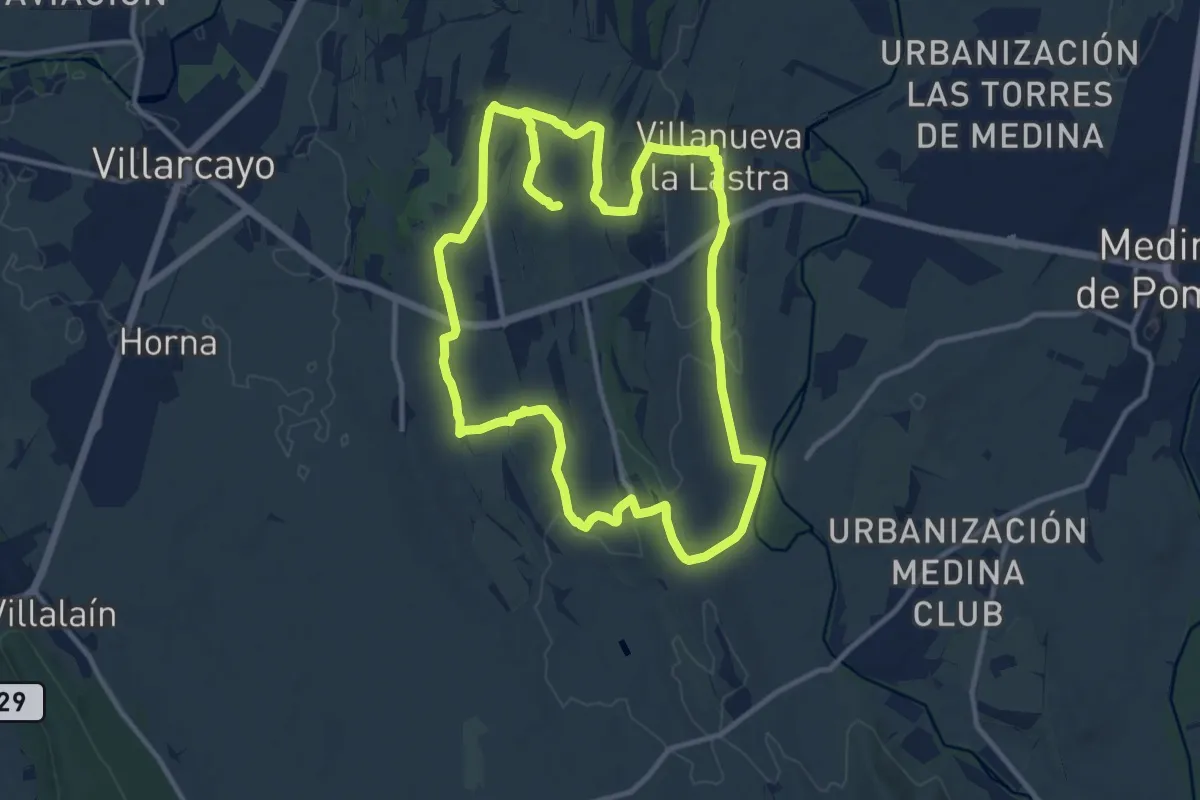
Medium · Trail
Caminos de Villazorana
12.4 km · ↑ 135 m · 3 h 23 min · 3 km away
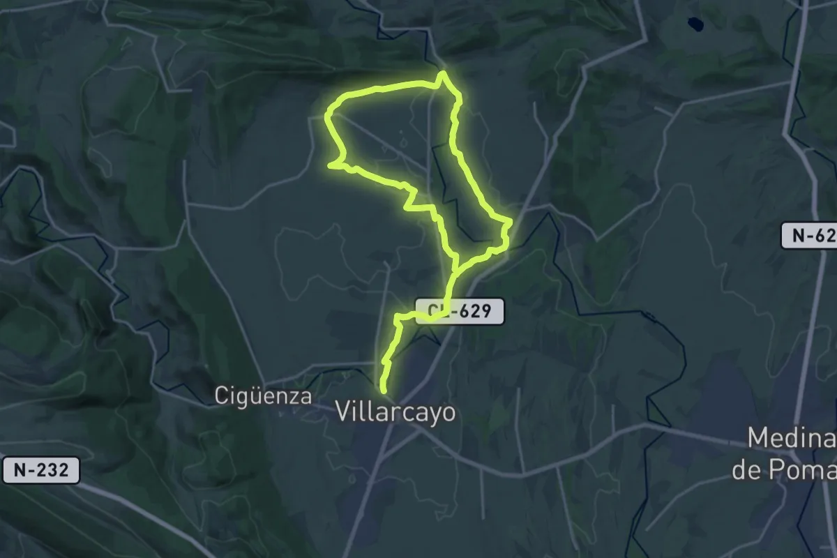
Demanding · Trail
El Nela y el Trema
30.4 km · ↑ 202 m · 7 h 37 min · 3 km away
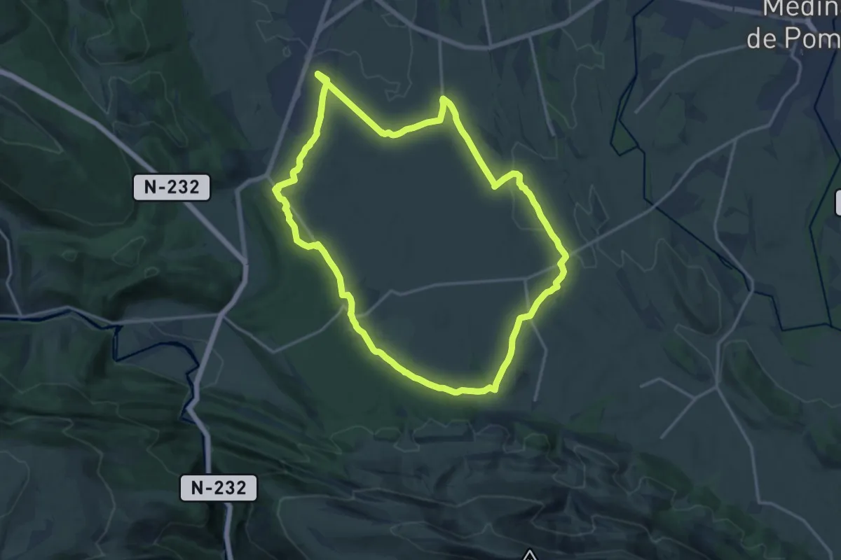
Medium · Trail
Los jueces de Castilla
17.1 km · ↑ 195 m · 4 h 42 min · 3 km away
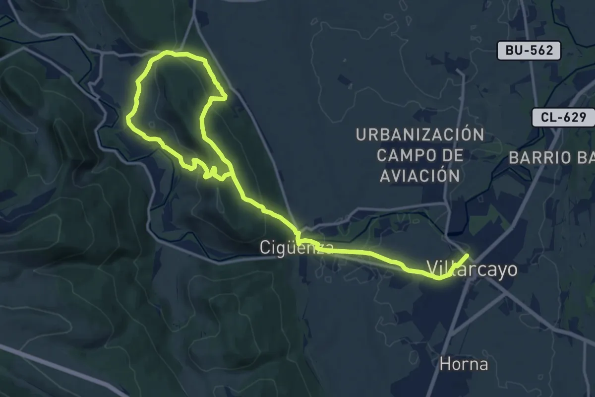
Demanding · Trail
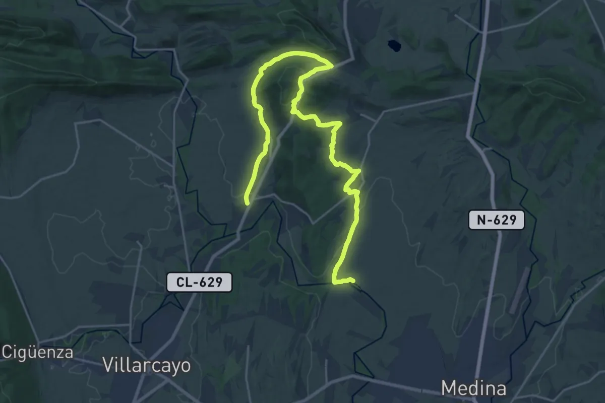
Miradores del Nela
9.8 km · ↑ 273 m · 3 h 7 min · 3 km away
Demanding · Trail
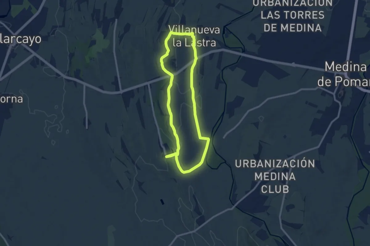
Peña Horrero
25.0 km · ↑ 530 m · 7 h 3 min · 4 km away
Demanding · Trail
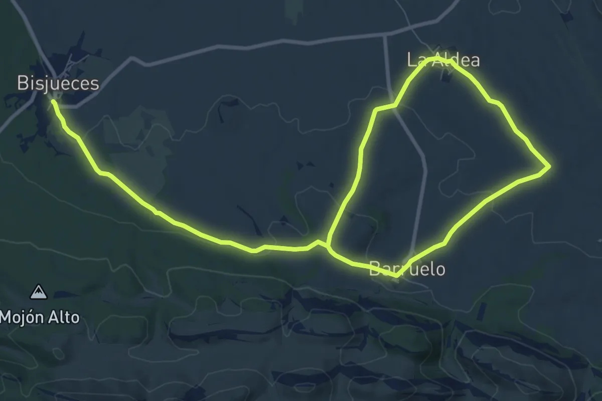
Camino de Villarías
18.8 km · ↑ 274 m · 5 h 2 min · 4 km away
Easy · Trail
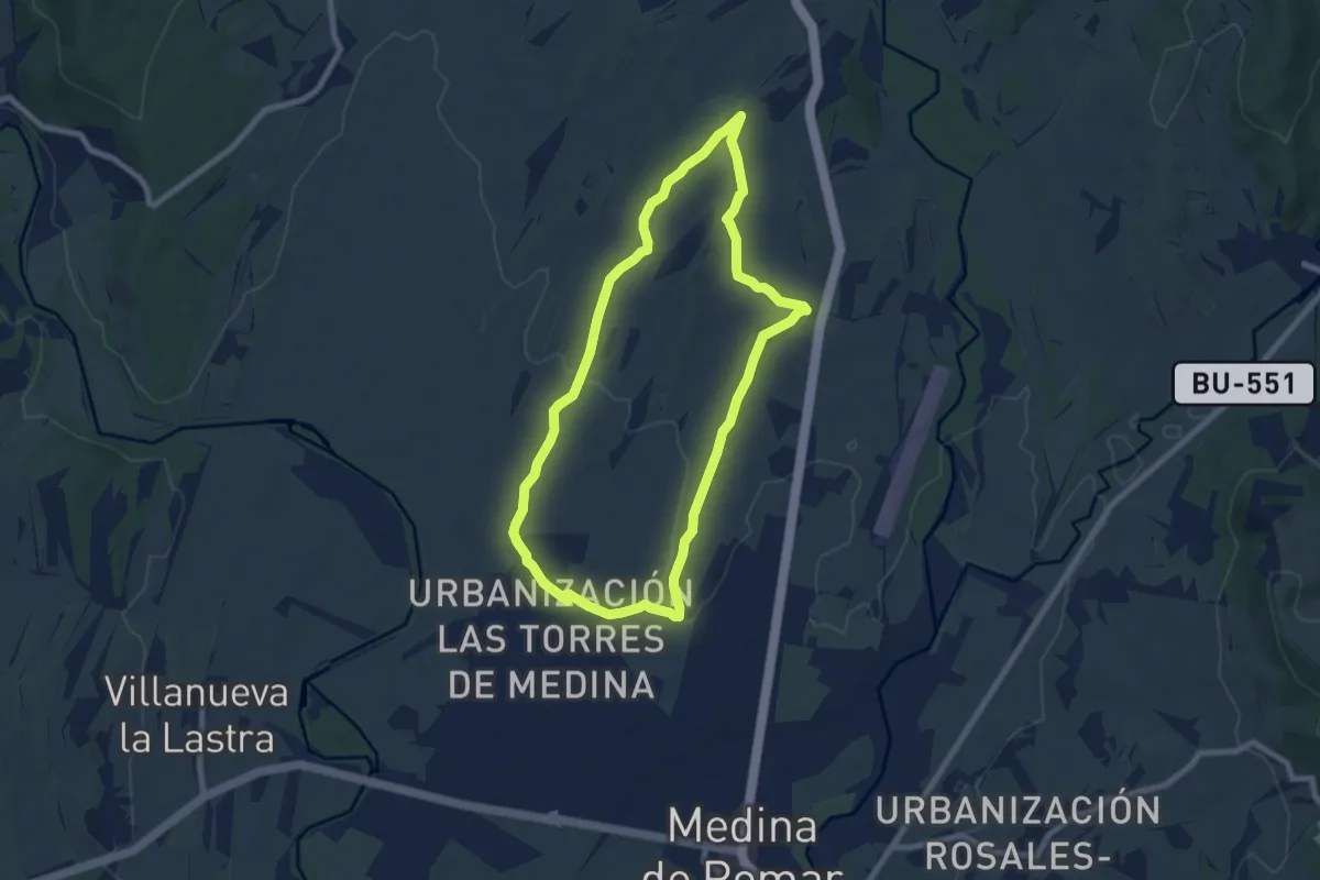
Sendero de la Rad
7.9 km · ↑ 176 m · 2 h 19 min · 5 km away
Easy · Trail
Los Valles
7.7 km · ↑ 104 m · 2 h 9 min · 6 km away
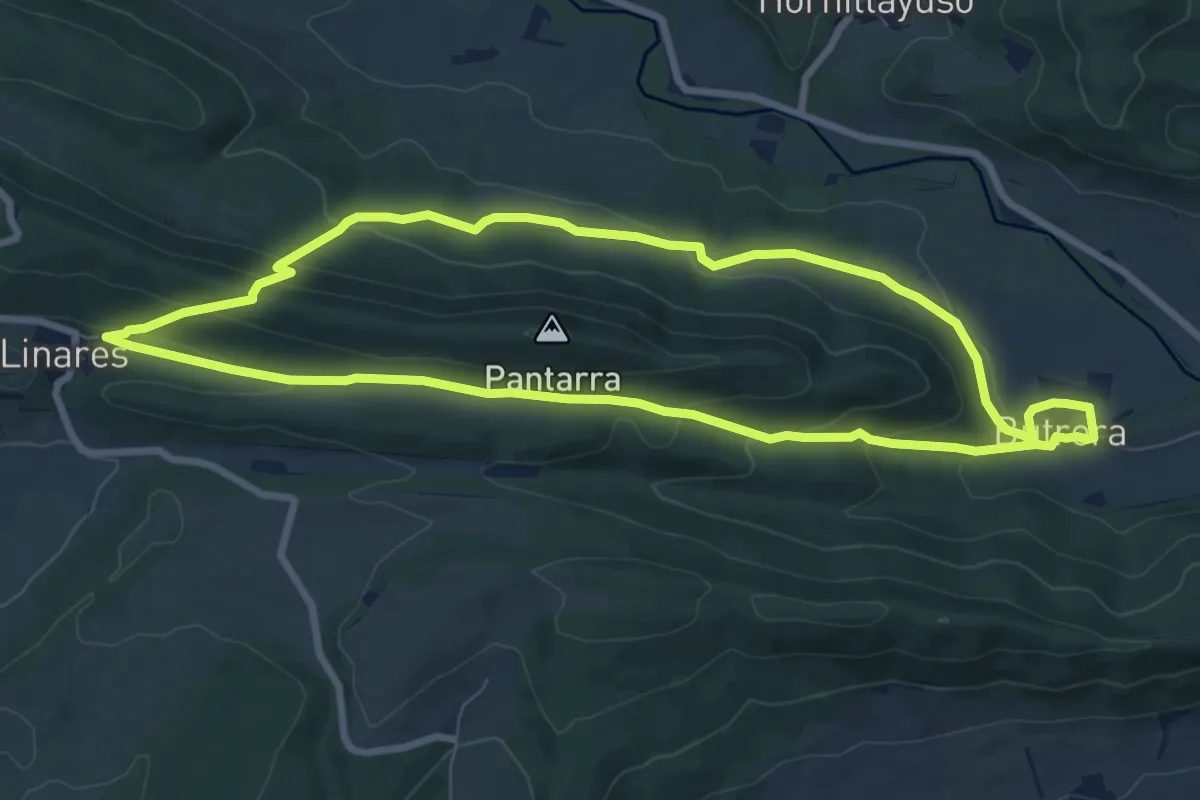
Medium · Trail
Vuelta a Pantarra
8.8 km · ↑ 315 m · 2 h 53 min · 7 km away
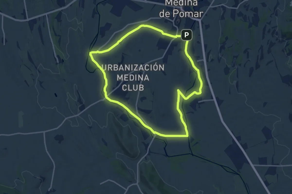
Medium · Trail
Riberas de Medina
12.3 km · ↑ 42 m · 3 h 9 min · 7 km away
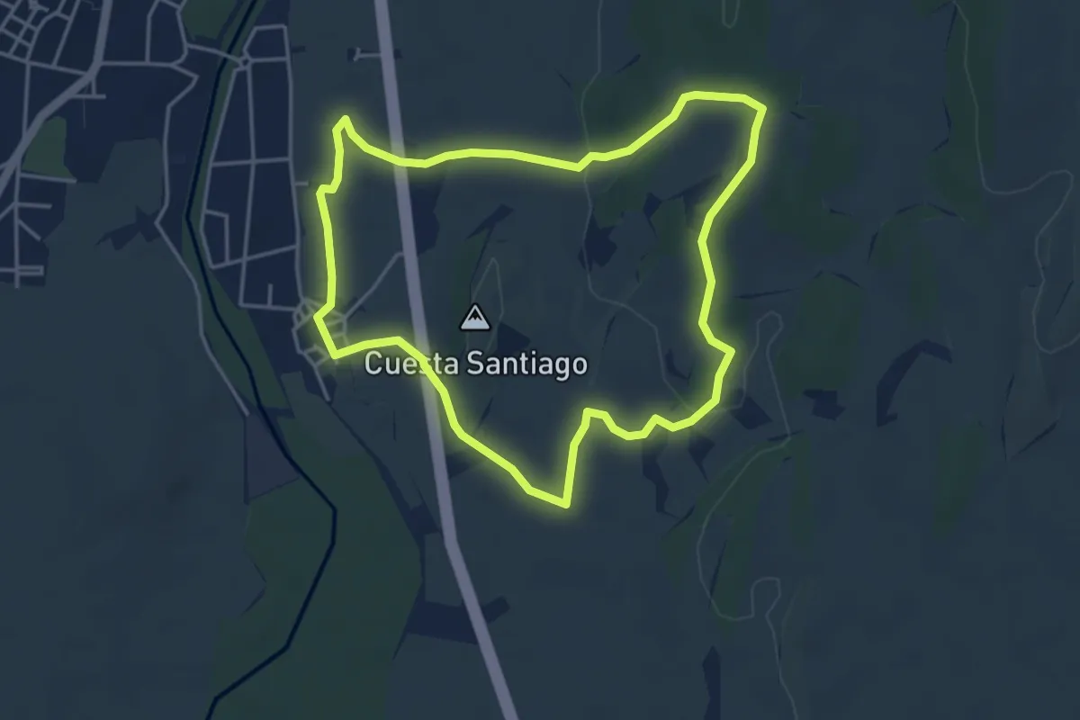
Easy · Trail
Cuestas de Medina
4.3 km · ↑ 57 m · 1 h 12 min · 8 km away
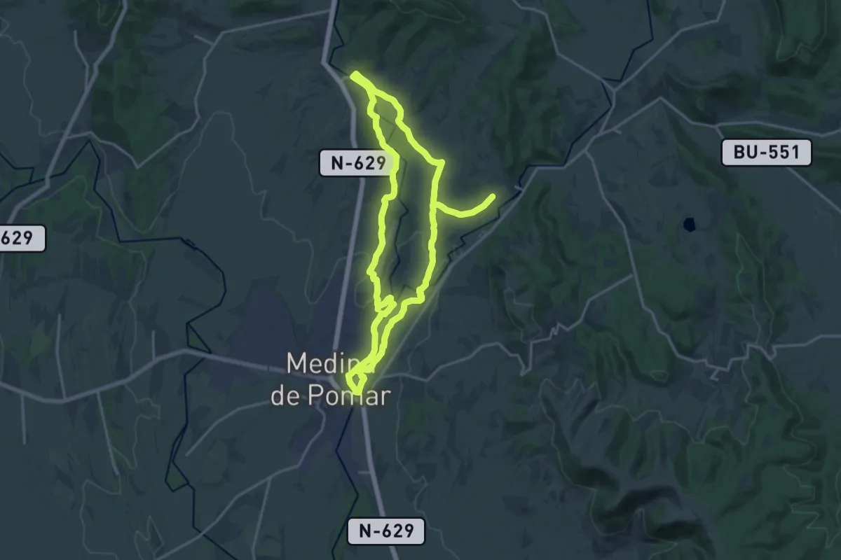
Demanding · Trail
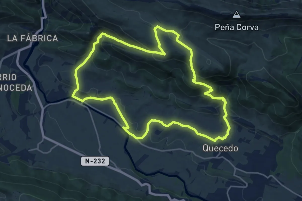
Caminos Ribereños del Norte
32.0 km · ↑ 143 m · 7 h 52 min · 9 km away
Medium · Trail
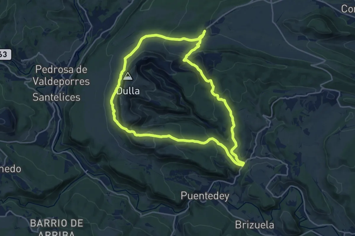
Sendero de Pilas
13.1 km · ↑ 580 m · 4 h 32 min · 9 km away
Medium · Trail
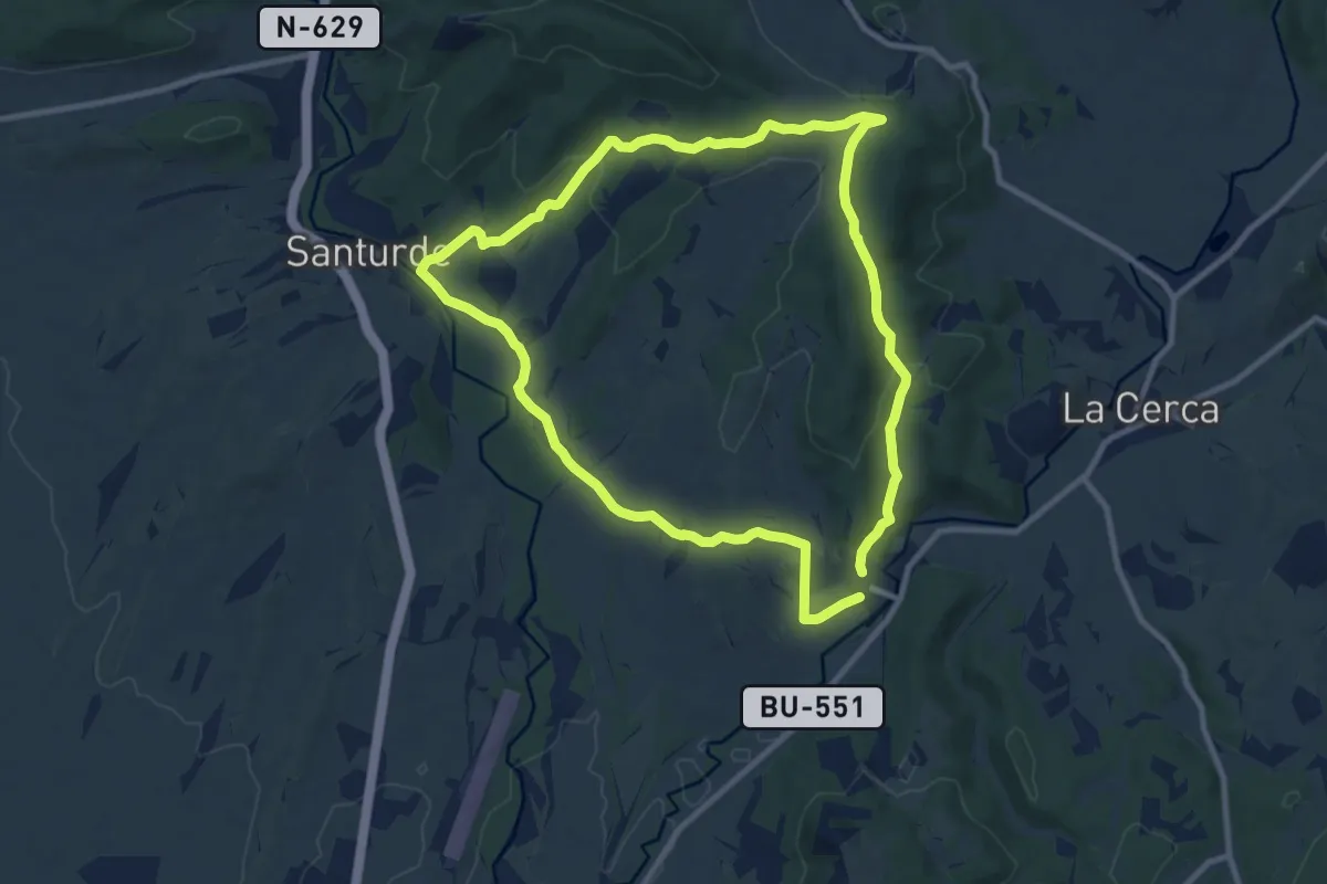
Canales de Dulla
15.5 km · ↑ 637 m · 5 h 15 min · 10 km away
Medium · Trail
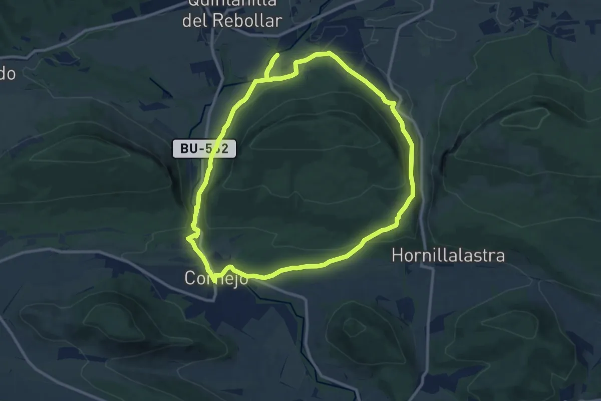
Caminos de San Román
10.1 km · ↑ 246 m · 3 h 4 min · 11 km away
Medium · Trail
Entre desfiladeros
9.7 km · ↑ 224 m · 2 h 55 min · 11 km away
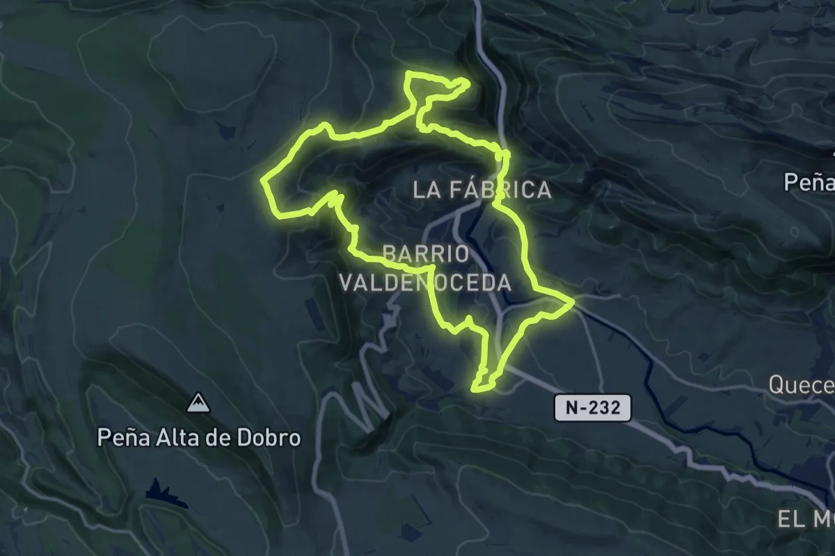
Medium · Summit
Sendero de los Hocinos
17.2 km · ↑ 761 m · 5 h 58 min · 12 km away
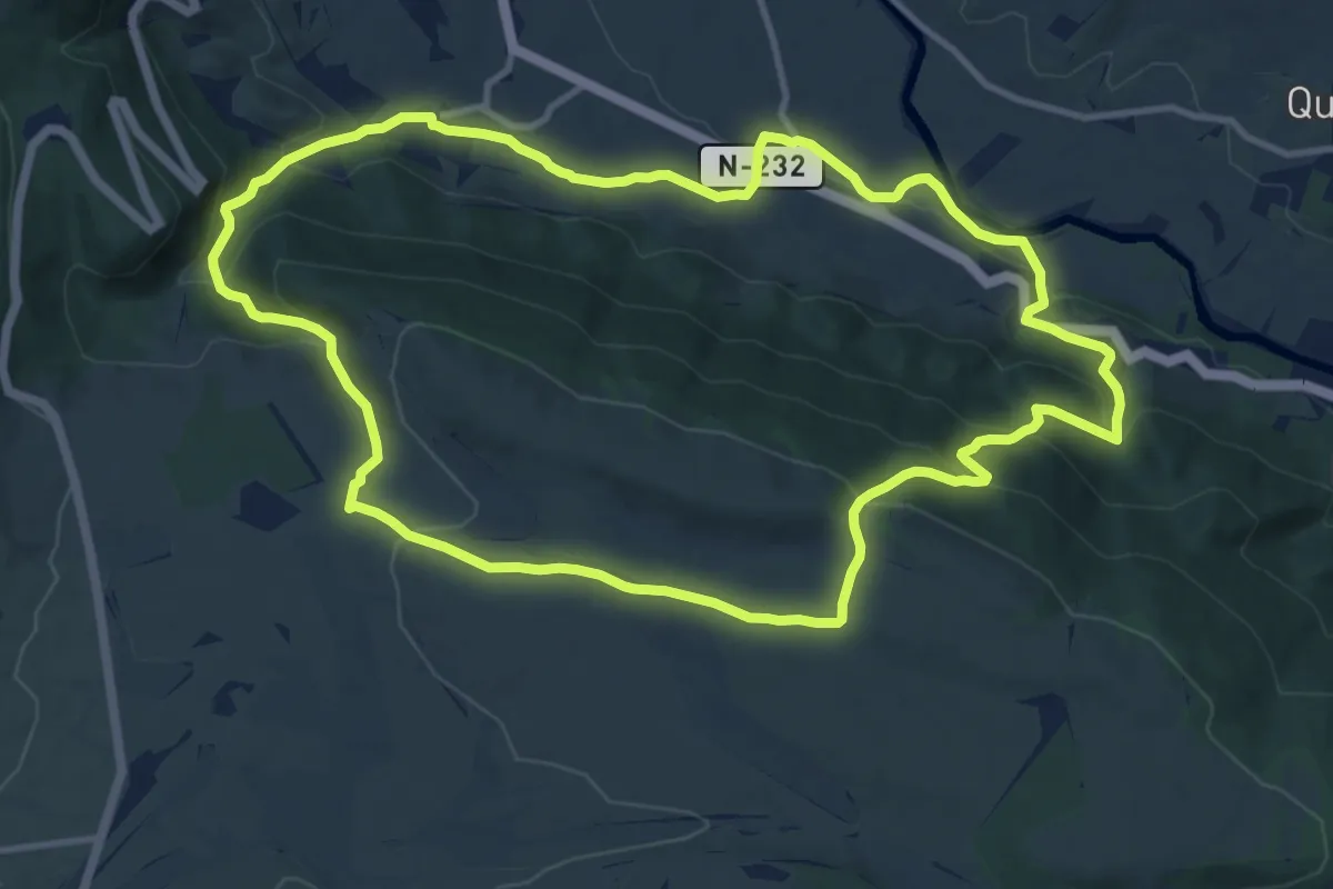
Medium · Summit
Sendero de Malvecino
12.8 km · ↑ 496 m · 4 h 17 min · 12 km away
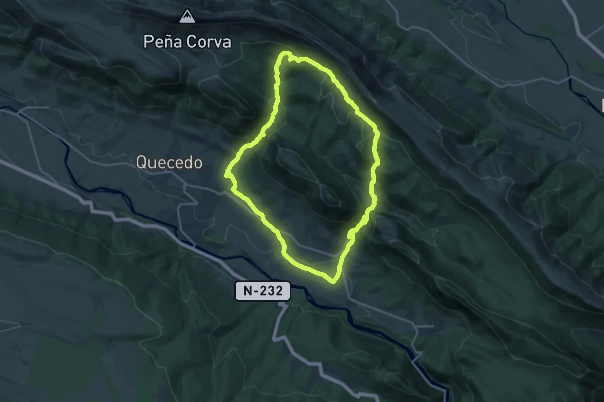
Medium · Trail
Sendero de la Tesla
14.0 km · ↑ 545 m · 4 h 41 min · 12 km away
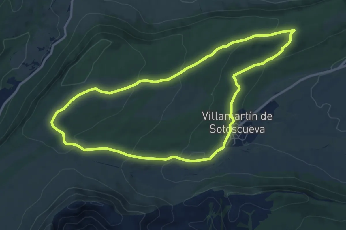
Easy · Trail
El Ventanón
7.7 km · ↑ 208 m · 2 h 22 min · 13 km away
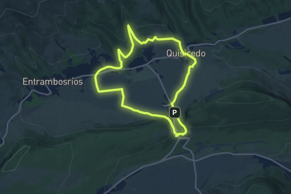
Medium · Summit
El Valle
8.8 km · ↑ 161 m · 2 h 34 min · 13 km away
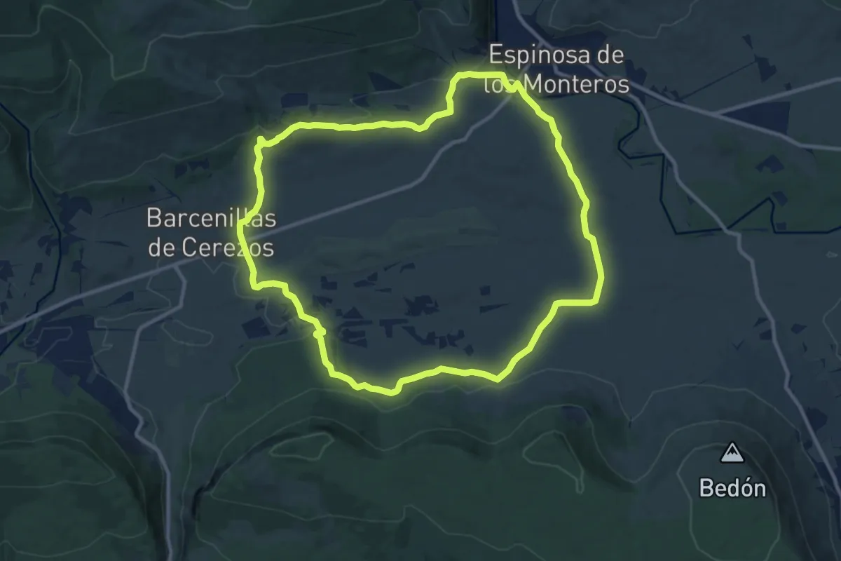
Medium · Trail
Camino de Noceda
11.1 km · ↑ 234 m · 3 h 17 min · 14 km away
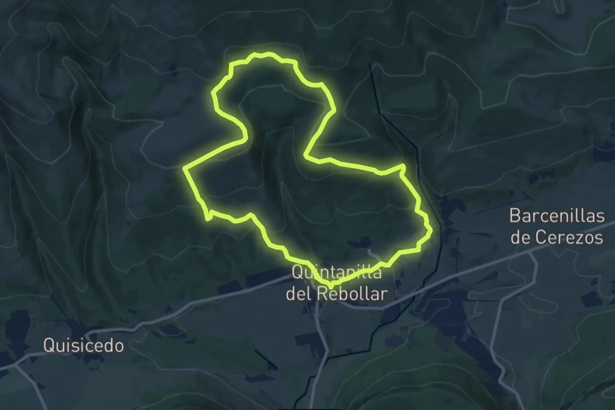
Medium · Trail
El hayal de Quintanilla y la Fuente de Uemas
10.8 km · ↑ 431 m · 3 h 39 min · 14 km away
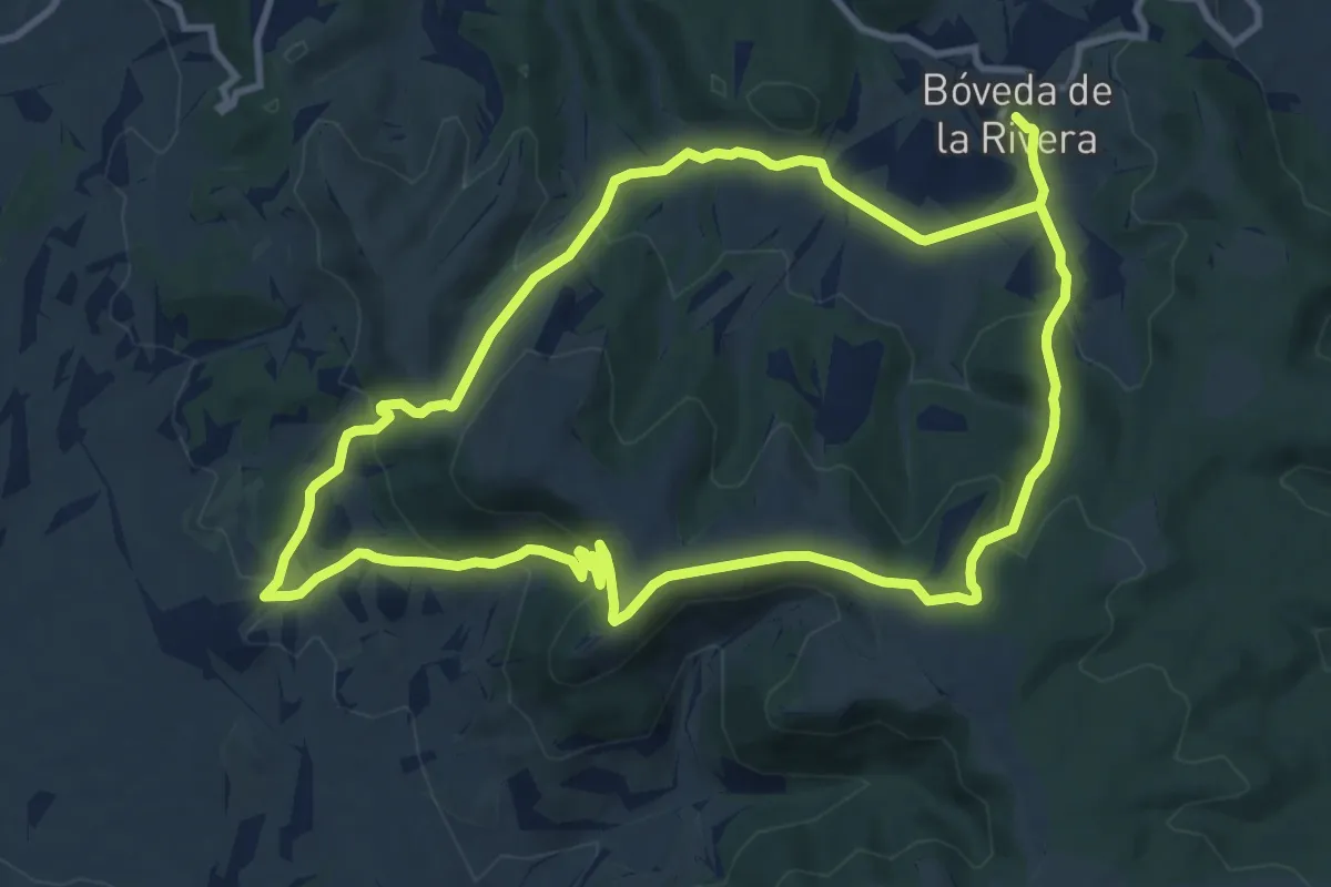
Demanding · Trail
Viejos caminos y despoblados
22.6 km · ↑ 888 m · 7 h 15 min · 14 km away
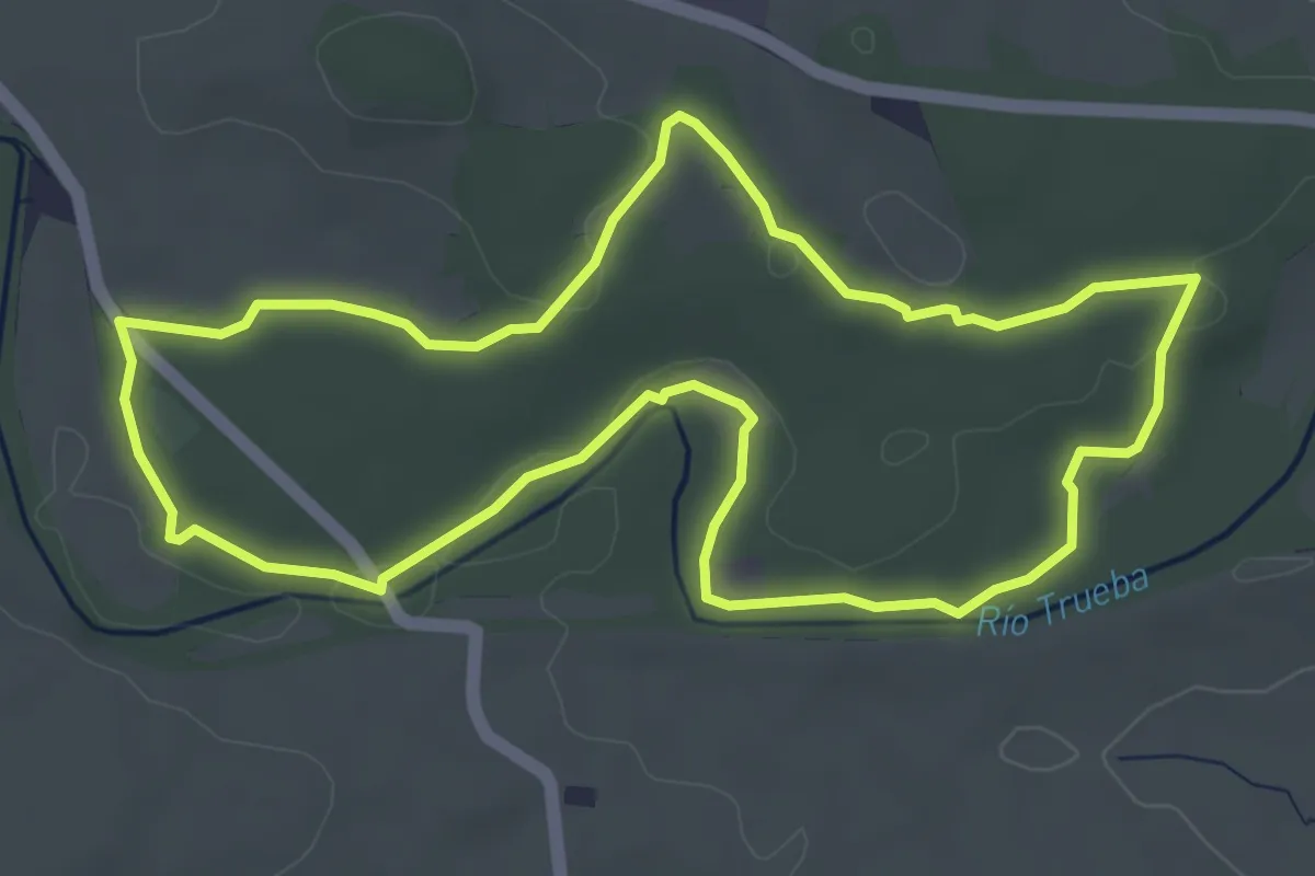
Easy · Trail
Senda El Robledal
4.8 km · ↑ 36 m · 1 h 17 min · 14 km away
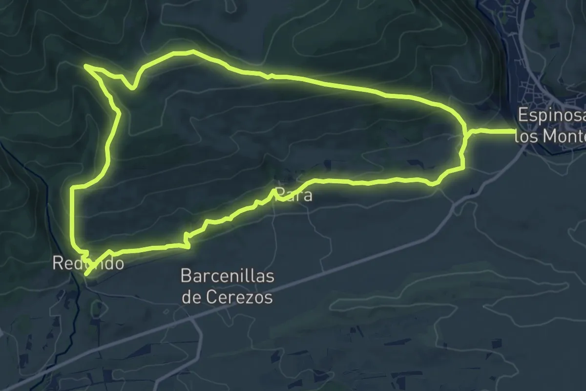
Medium · Summit
Caminos de Sonsierra
12.1 km · ↑ 457 m · 4 h 1 min · 15 km away
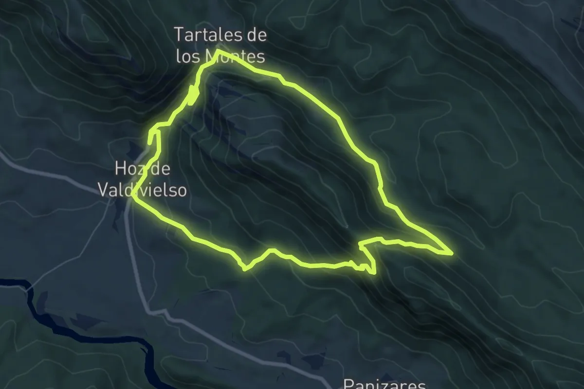
Medium · Trail
Sendero de Puerta
7.8 km · ↑ 430 m · 2 h 53 min · 15 km away