Trails in Spain
5,960 hiking trails, each with its route, climb, walking time and grade.
All trails, page 101 of 125
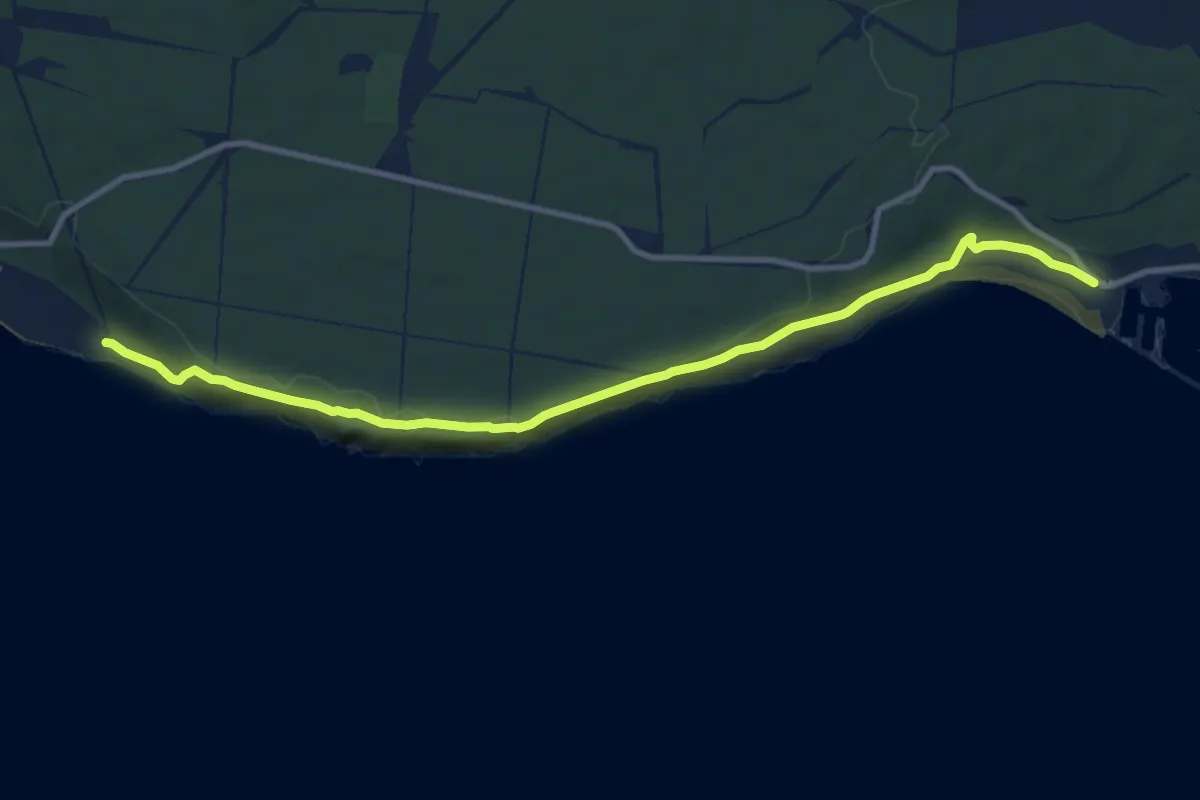
Medium · Trail
Sendero del Acantilado
12.6 km · ↑ 227 m · 3 h 28 min
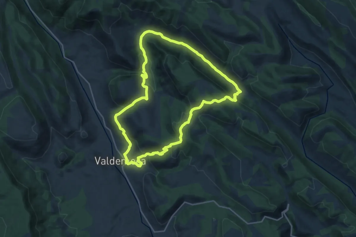
Medium · Cabin
Sendero de la Casa del Cura
16.3 km · ↑ 544 m · 5 h 15 min
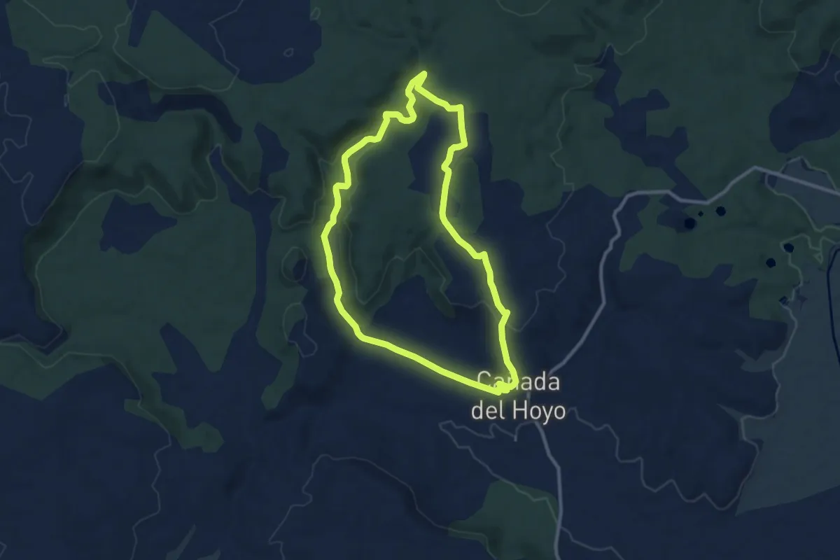
Medium · Trail
Sendero de la Colada del Barranco de La Palancosa
10.6 km · ↑ 184 m · 3 h 2 min
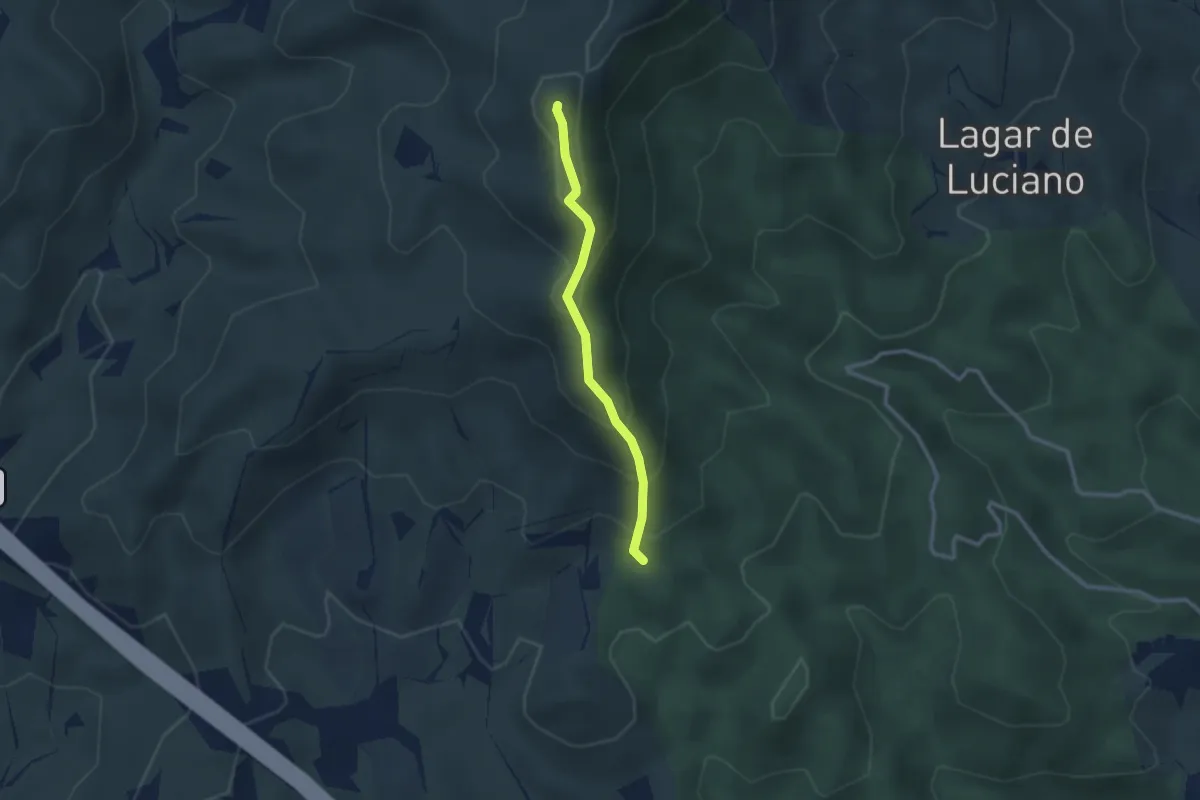
Easy · Summit
Sendero de la Cresta
2.7 km · ↑ 234 m · 1 h 9 min
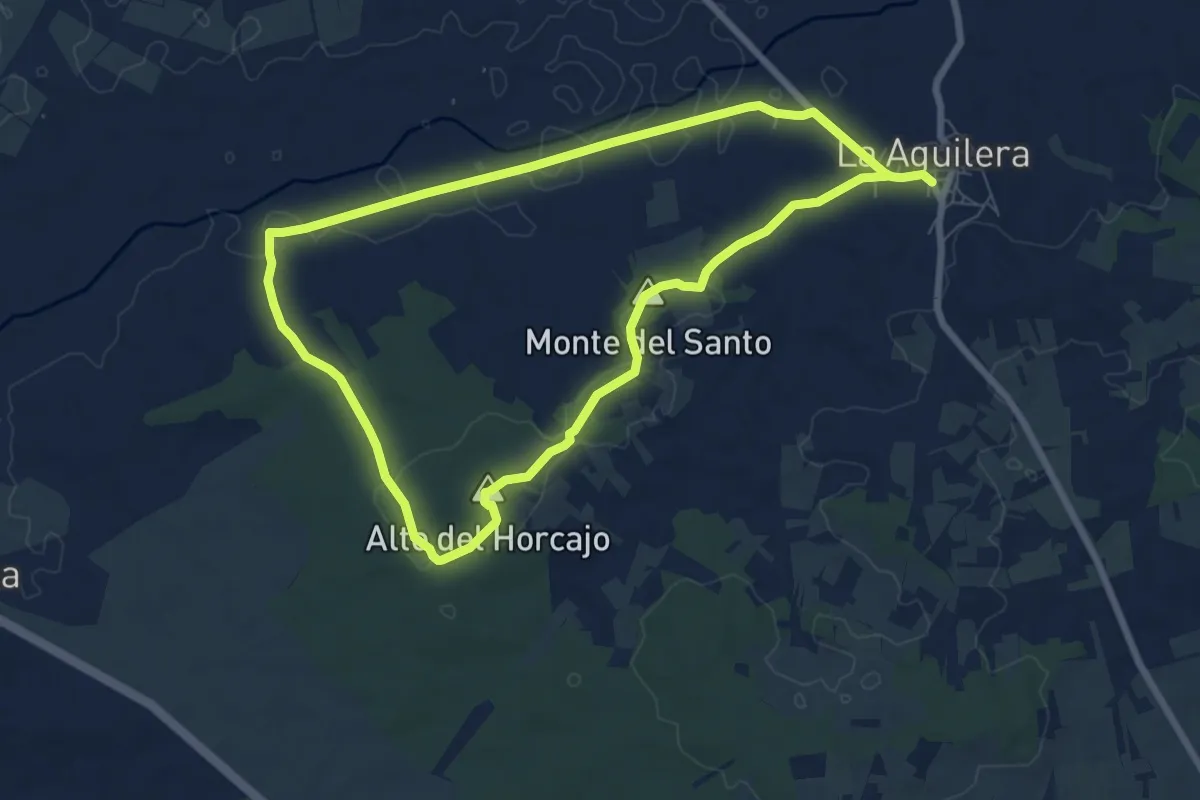
Easy · Summit
Sendero de la Cuesta del Águila
7.7 km · ↑ 95 m · 2 h 8 min
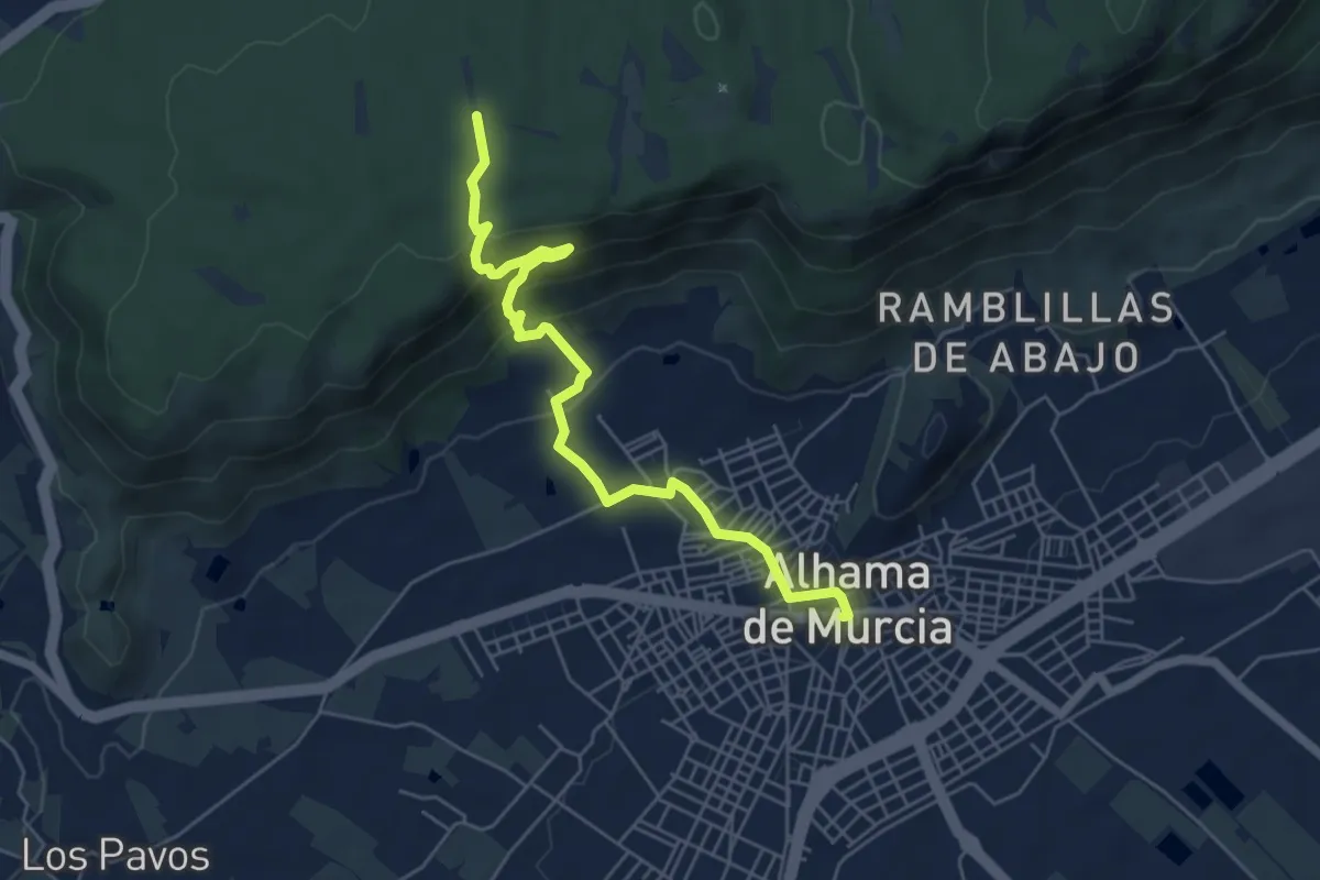
Easy · Trail
Sendero de la Cuesta del Salto
6.7 km · ↑ 302 m · 2 h 14 min
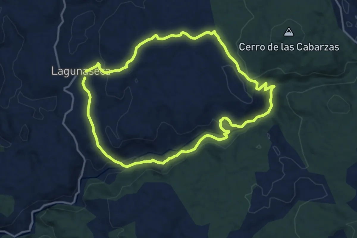
Medium · Trail
Sendero de la Cueva del Hoyo
10.2 km · ↑ 275 m · 3 h 9 min
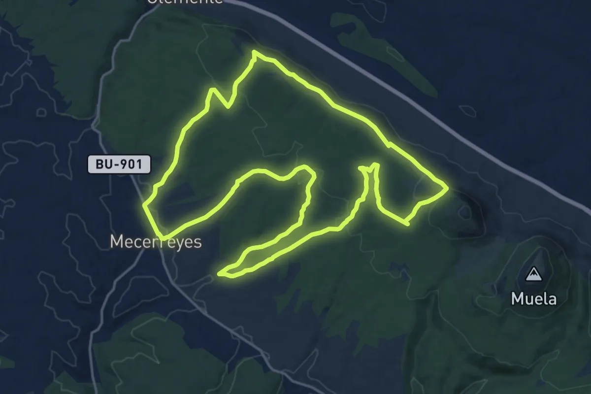
Demanding · Summit
Sendero de la Cuna del Buen Conde
18.2 km · ↑ 418 m · 5 h 28 min
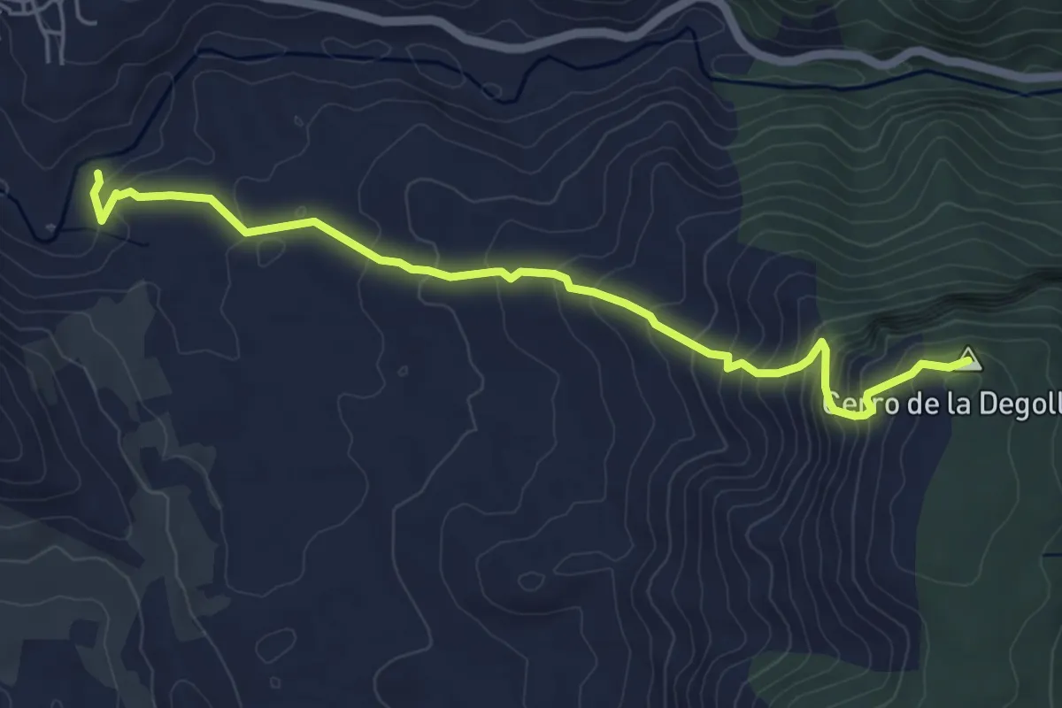
Expert · Summit
Sendero de la Degollada
6.0 km · ↑ 433 m · 2 h 21 min
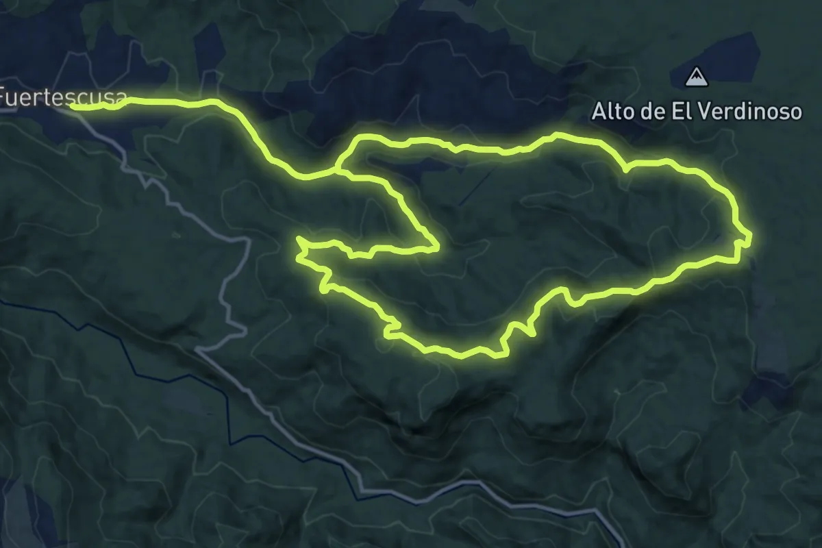
Medium · Summit
Sendero de la Dehesa
15.6 km · ↑ 454 m · 4 h 51 min
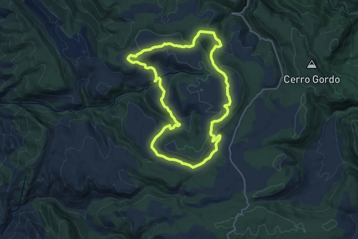
Medium · Trail
Sendero de la Dehesa de los Olmos
14.7 km · ↑ 359 m · 4 h 27 min
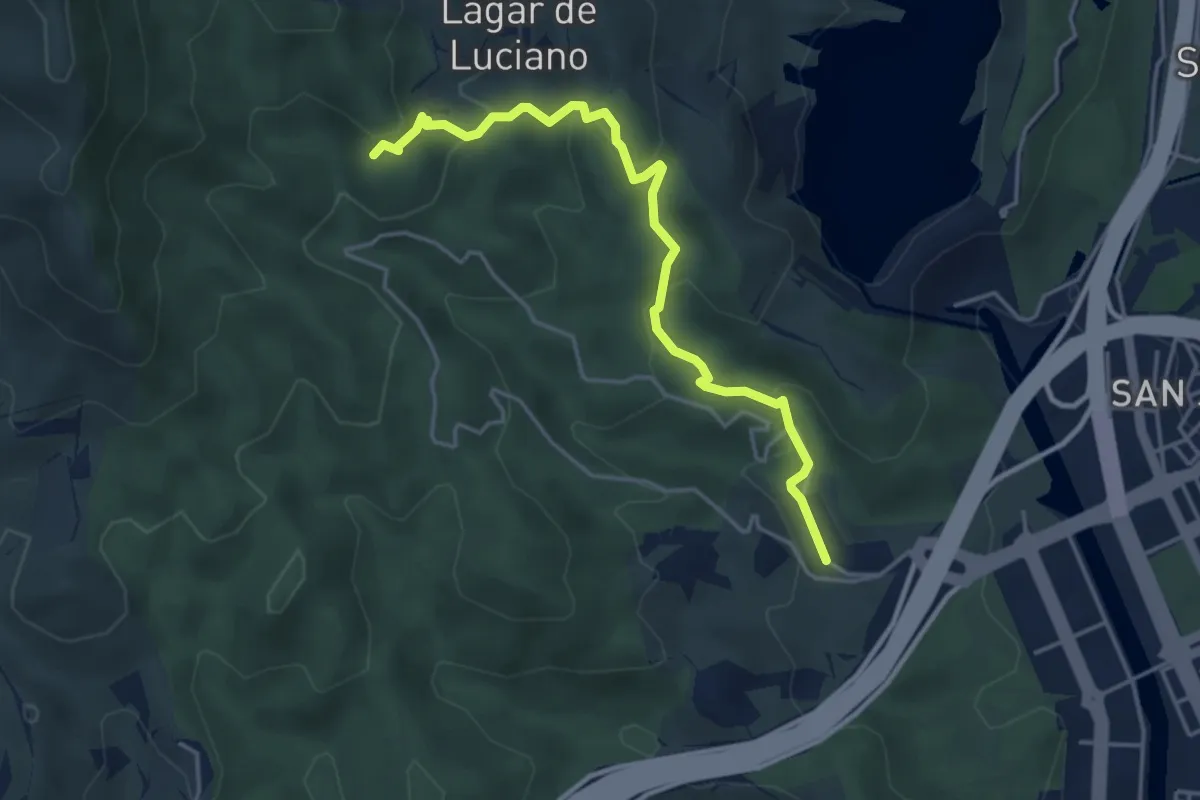
Easy · Trail
Sendero de la Era
5.0 km · ↑ 226 m · 1 h 40 min
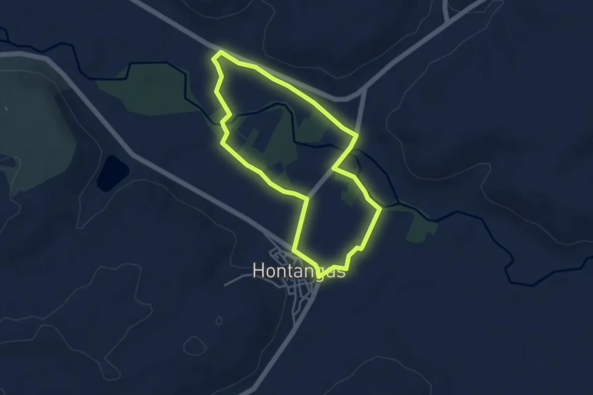
Easy · Trail
Sendero de la Ermita de San Mamés
3.5 km · ↑ 18 m · 55 min
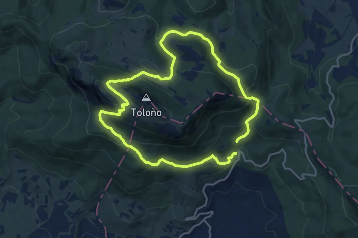
Demanding · Summit
Sendero de la Ermita de Toloño
9.6 km · ↑ 466 m · 3 h 26 min
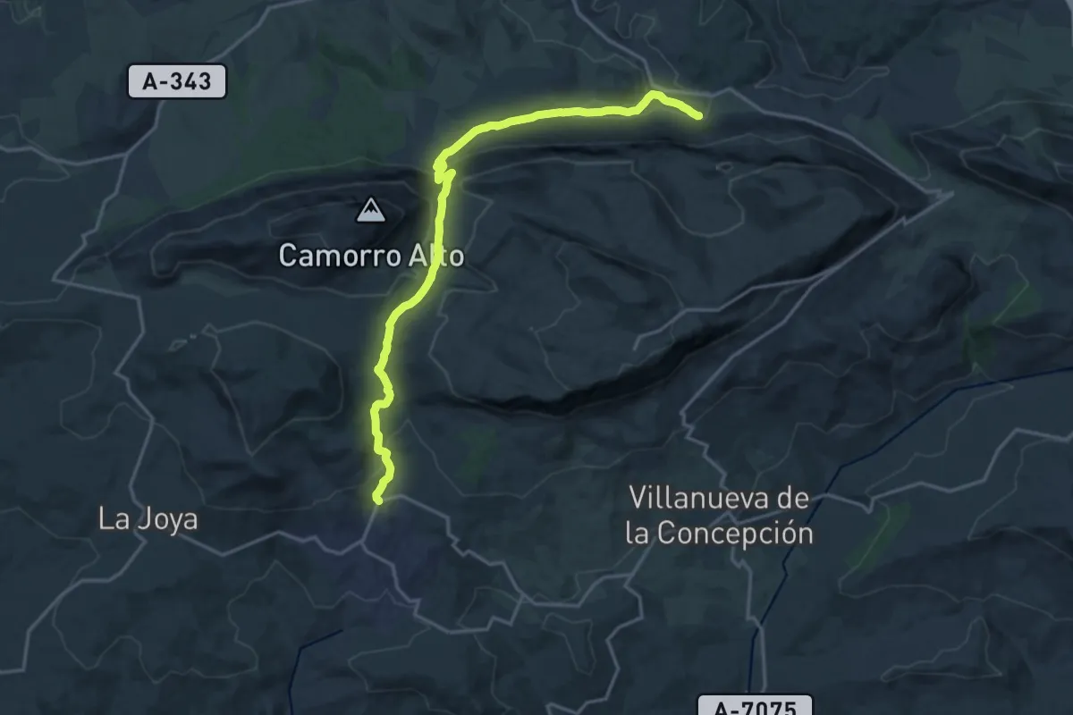
Demanding · Trail
Sendero de la Escaleruela
20.8 km · ↑ 666 m · 6 h 21 min
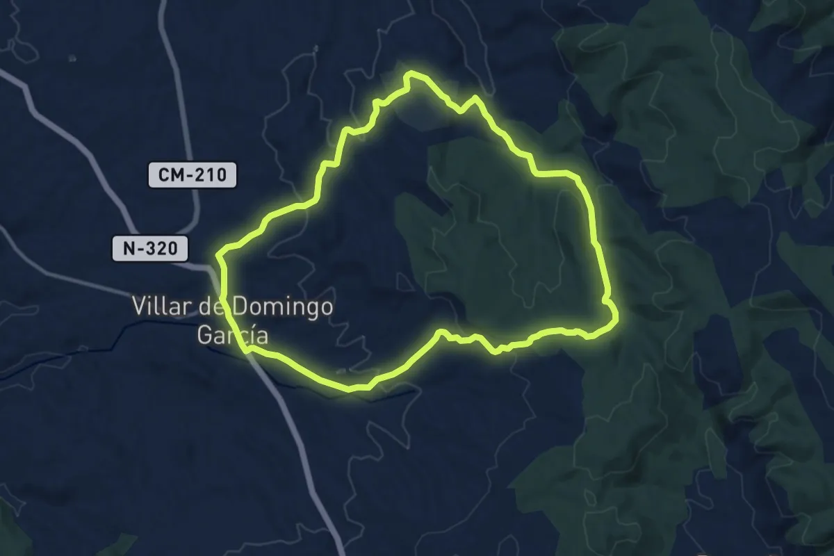
Medium · Trail
Sendero de la Fuente del Gallo
12.9 km · ↑ 324 m · 3 h 55 min
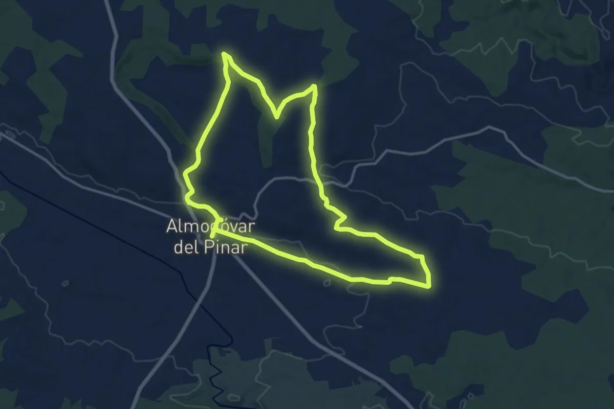
Medium · Trail
Sendero de la Fuente de Los Santos
13.5 km · ↑ 127 m · 3 h 40 min
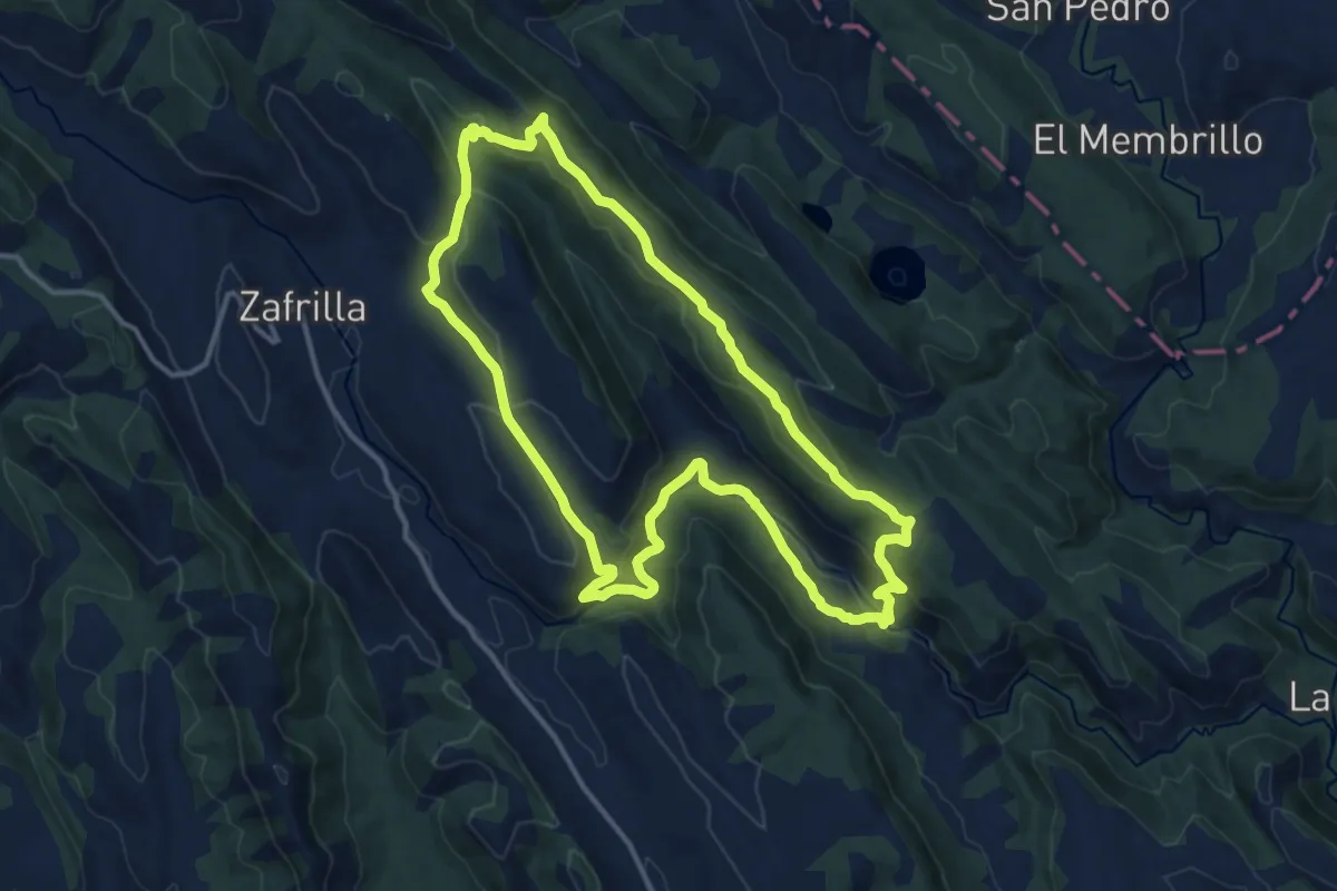
Medium · Trail
Sendero de la Fuente del Tejo
14.7 km · ↑ 498 m · 4 h 46 min
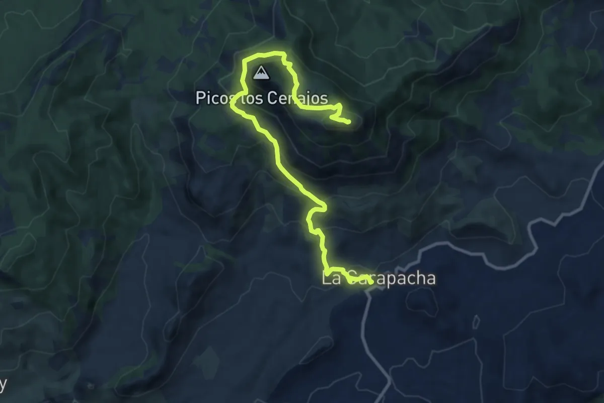
Medium · Summit
Sendero de la Garapacha al Pico de la Pila
11.7 km · ↑ 716 m · 4 h 19 min
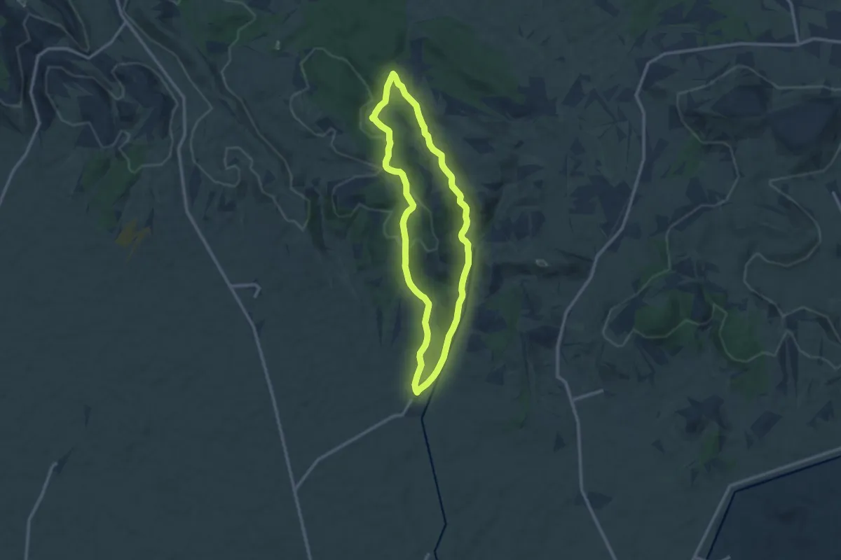
Medium · Trail
Sendero de la Gargantilla
10.2 km · ↑ 180 m · 2 h 56 min
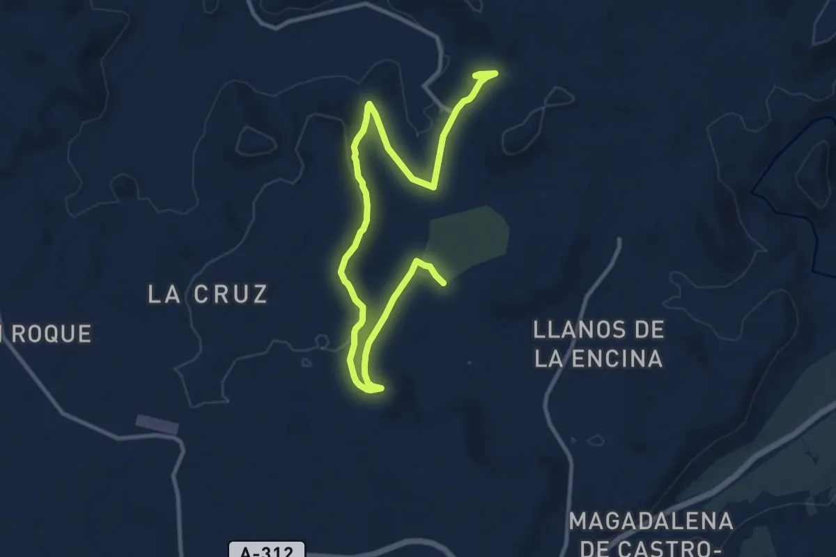
Easy · Trail
Sendero de La Garza
7.3 km · ↑ 123 m · 2 h 5 min
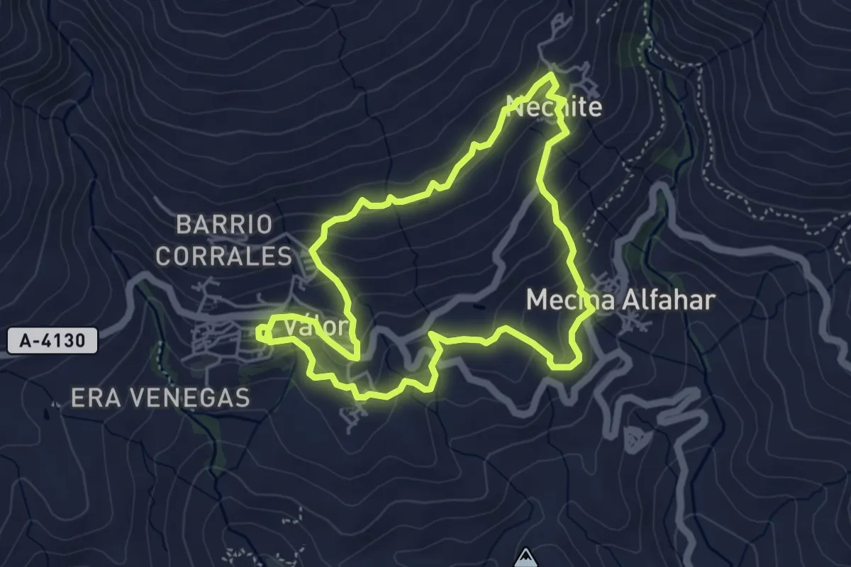
Easy · Trail
Sendero del Agua
5.0 km · ↑ 250 m · 1 h 47 min
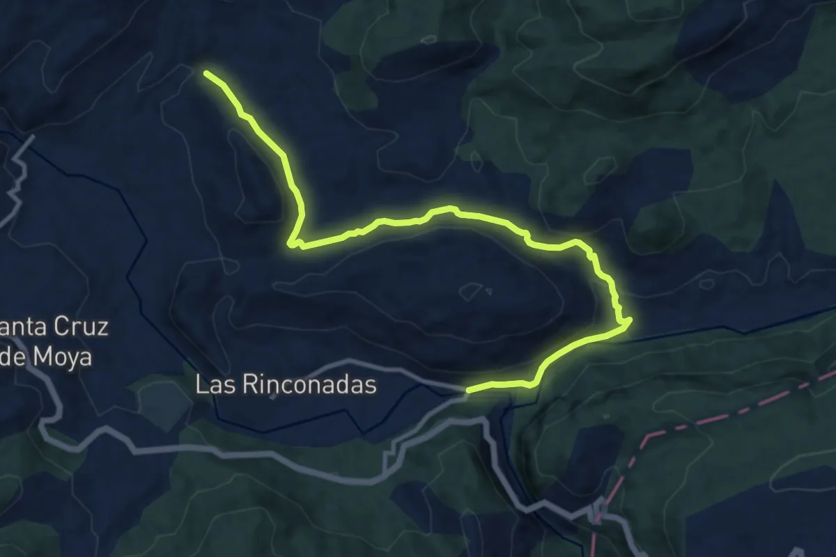
Medium · Trail
Sendero del Agua
12.2 km · ↑ 381 m · 3 h 42 min
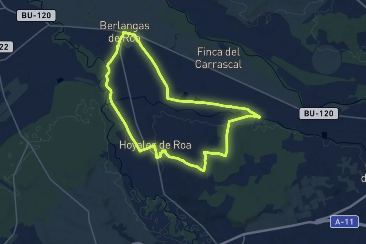
Medium · Trail
Sendero del Agua
15.2 km · ↑ 70 m · 3 h 56 min
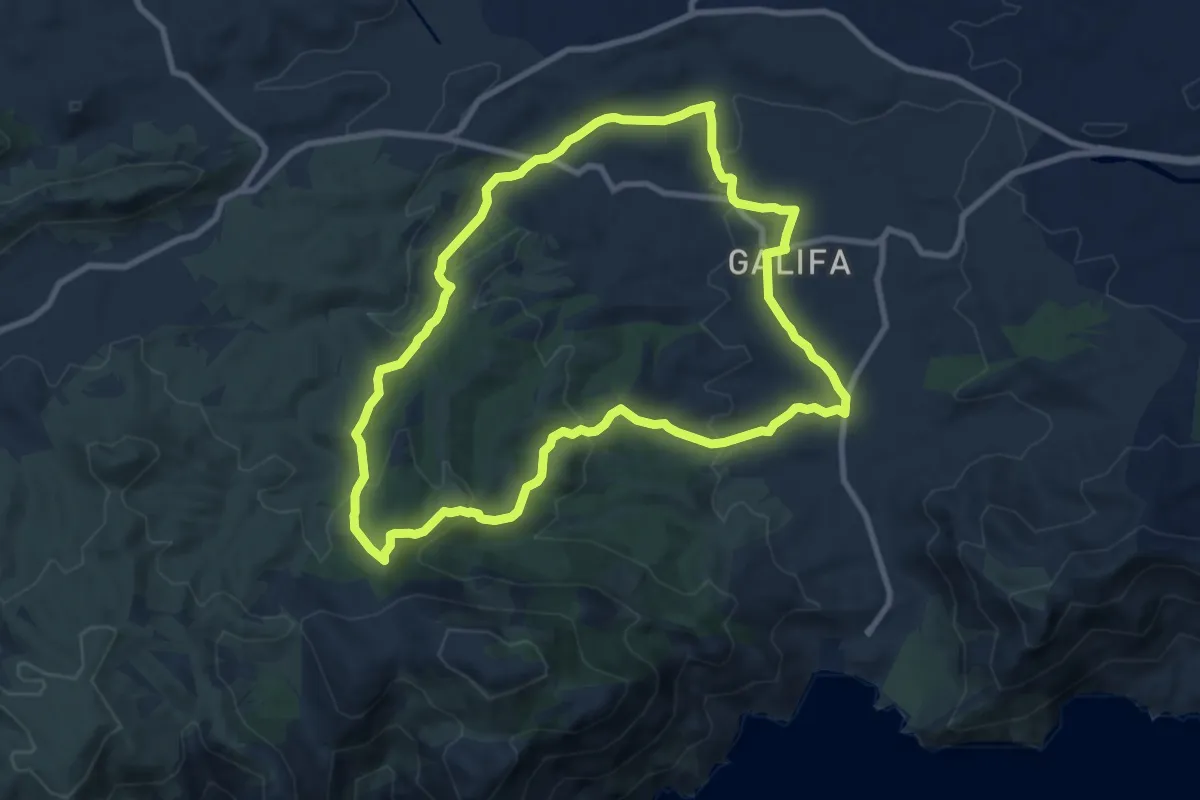
Medium · Summit
Sendero del Agua de Galifa - La Muela
10.1 km · ↑ 341 m · 3 h 16 min
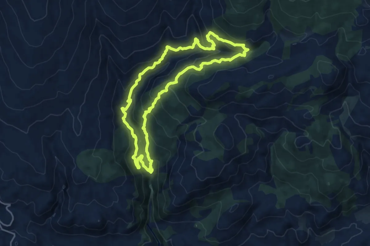
Demanding · Trail
Sendero del Aguadero
14.6 km · ↑ 867 m · 5 h 32 min
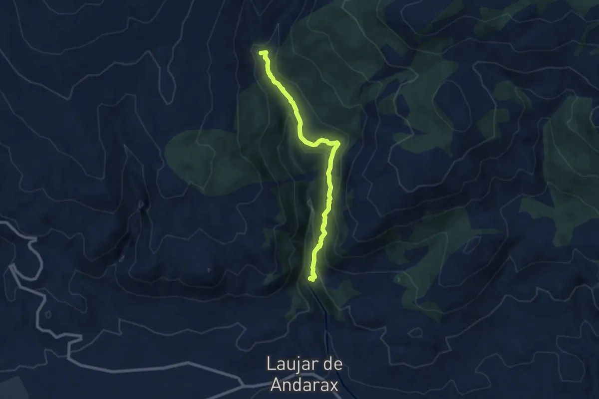
Medium · Trail
Sendero de la Hidroeléctrica
8.2 km · ↑ 492 m · 3 h
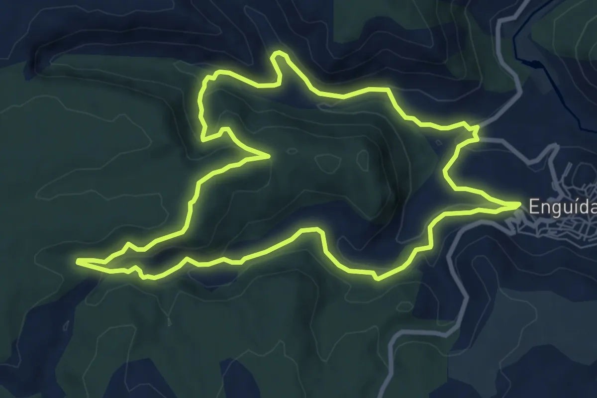
Medium · Trail
Sendero de la Hoz del Agua y Hoz Cerrada
8.7 km · ↑ 312 m · 2 h 51 min
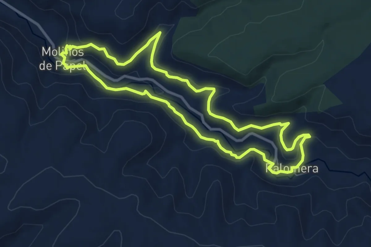
Medium · Trail
Sendero de la Hoz del Huécar
8.1 km · ↑ 194 m · 2 h 27 min
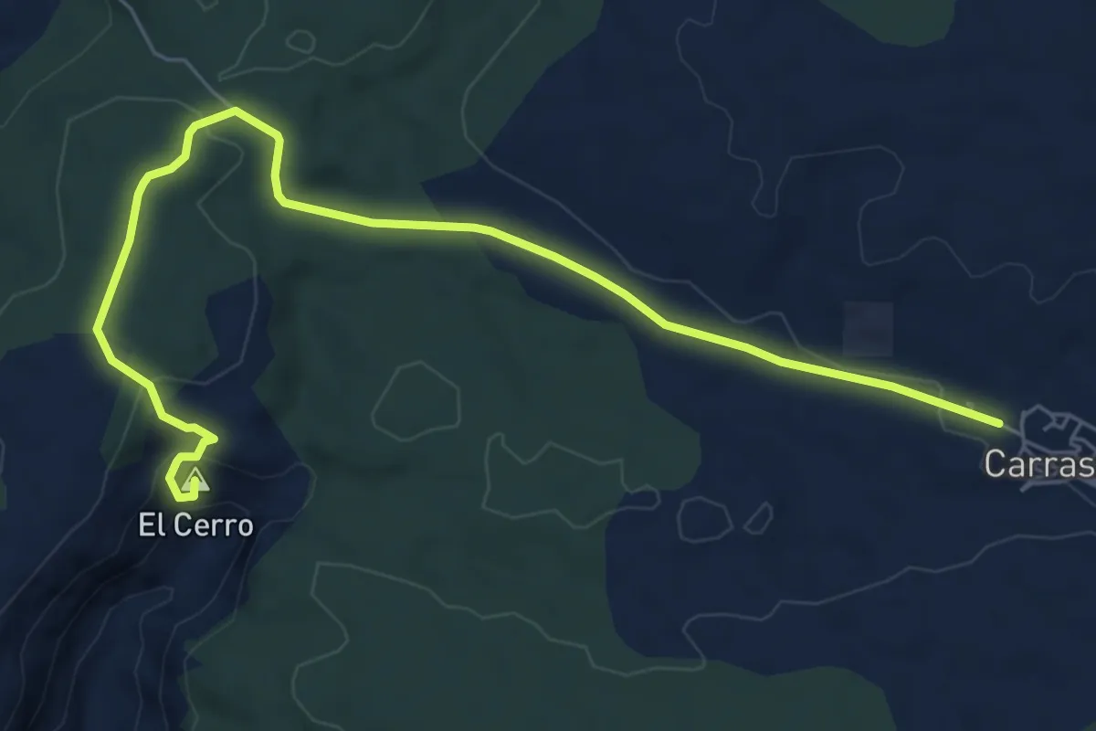
Easy · Summit
Sendero de la hoz Somera y los Castillejos
6.7 km · ↑ 151 m · 2 h 1 min
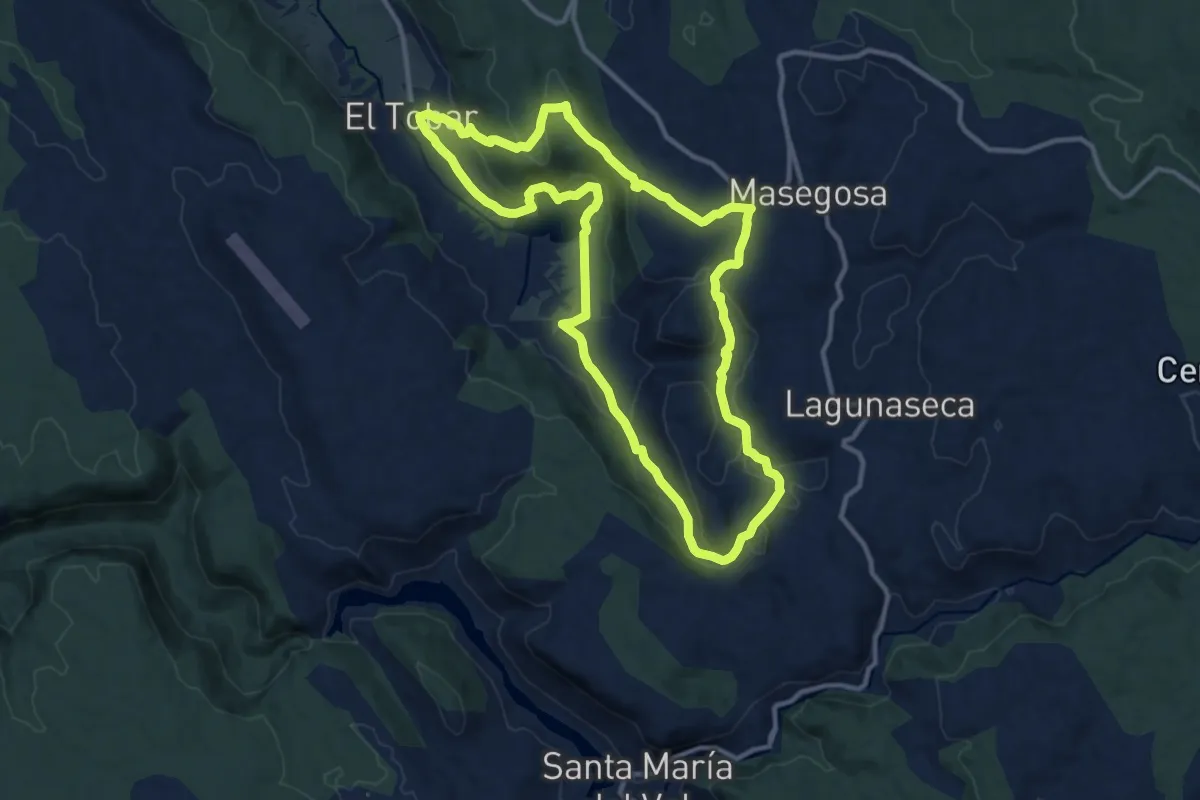
Medium · Trail
Sendero de la Laguna Grande y el Torcal de la Lagunaseca
12.7 km · ↑ 317 m · 3 h 52 min
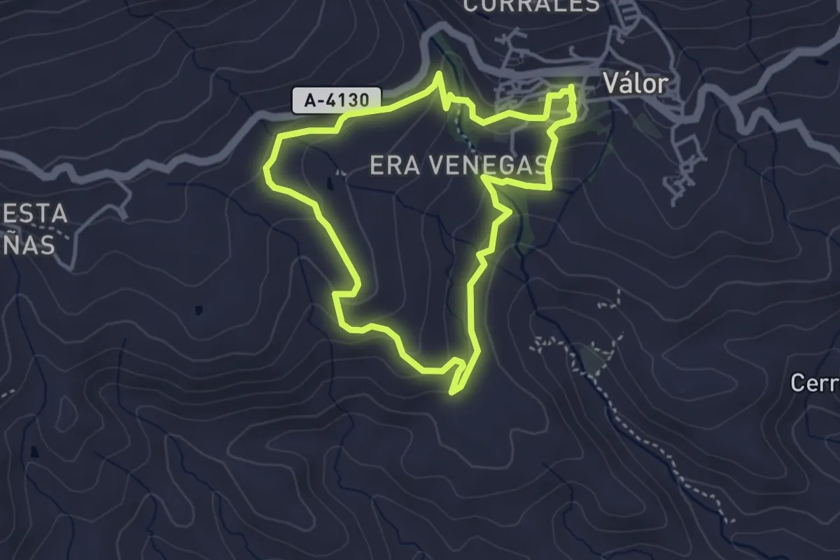
Easy · Trail
Sendero de la Launa
4.0 km · ↑ 157 m · 1 h 21 min
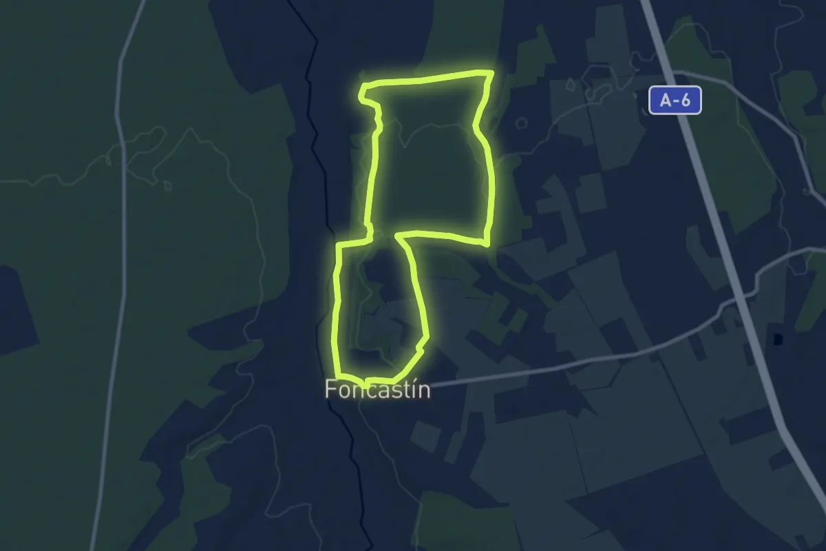
Medium · Trail
Sendero del Alcornocal de Foncastín
9.2 km · ↑ 44 m · 2 h 23 min
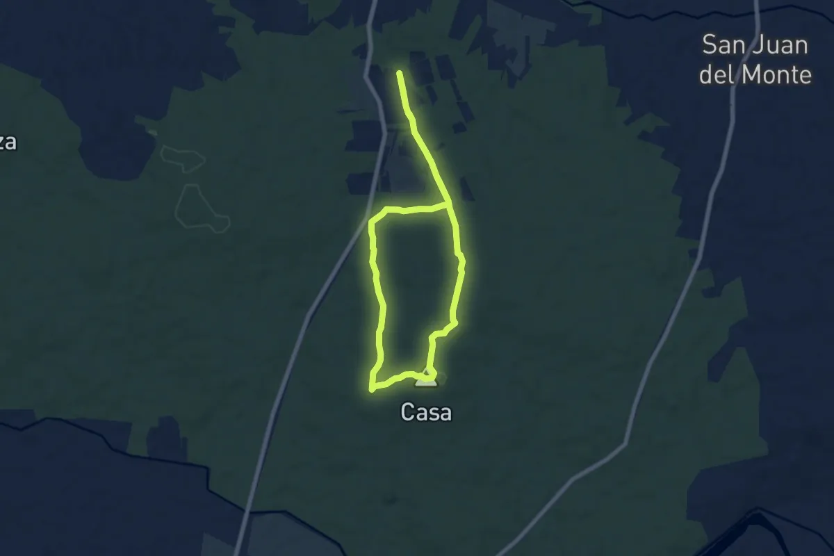
Easy · Summit
Sendero del Alto de La Casa
6.1 km · ↑ 58 m · 1 h 40 min
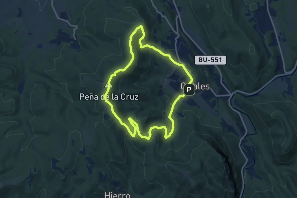
Medium · Summit
Sendero del Alto de la Cruz
8.9 km · ↑ 348 m · 2 h 59 min
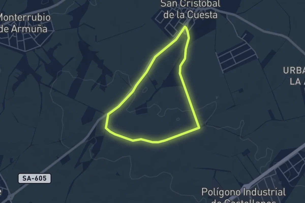
Easy · Trail
Sendero de la Mesa del Agua
4.0 km · ↑ 34 m · 1 h 4 min
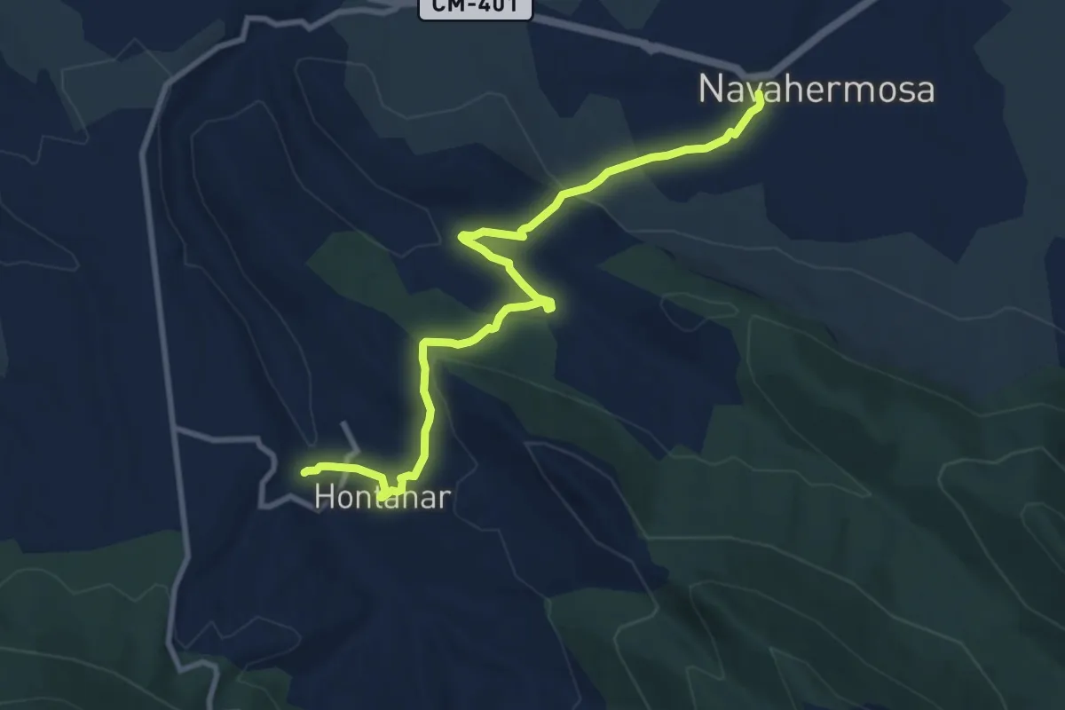
Medium · Trail
Sendero de la Milagra y El Cabezo
10.7 km · ↑ 292 m · 3 h 9 min
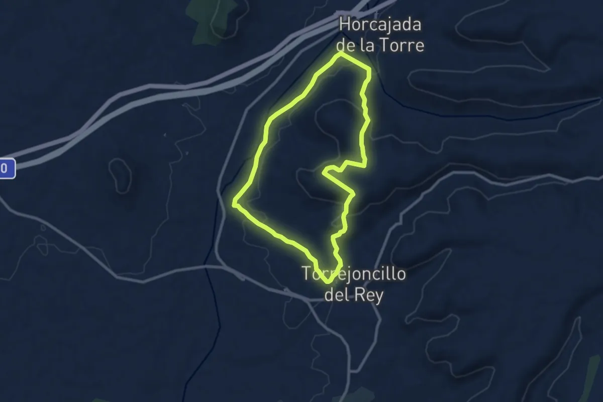
Medium · Trail
Sendero de la Mora Encantada
8.8 km · ↑ 226 m · 2 h 42 min
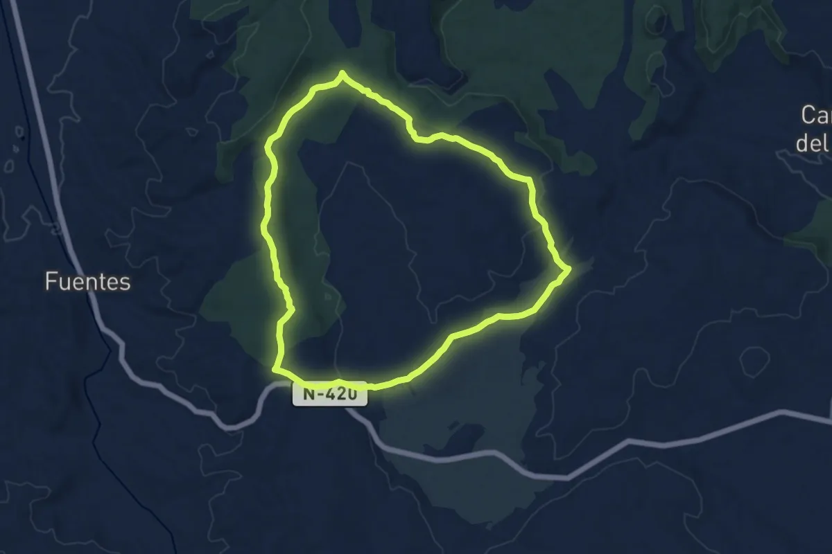
Medium · Trail
Sendero de la Navas
14.1 km · ↑ 184 m · 3 h 56 min
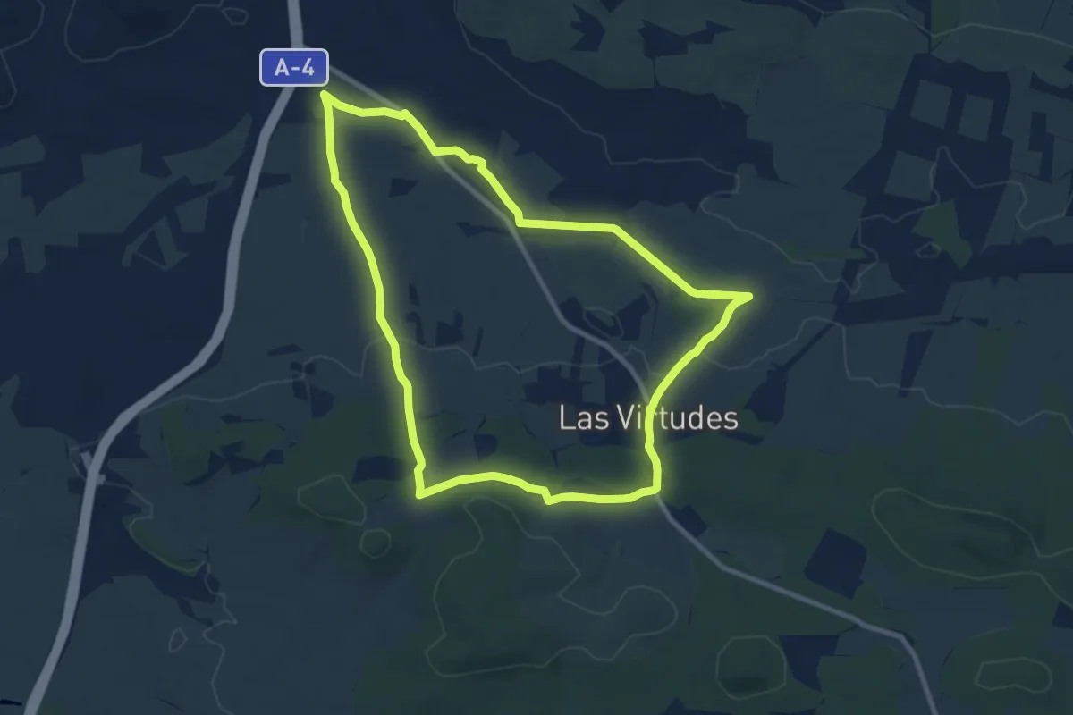
Medium · Trail
Sendero de la Noria Olaya
10.5 km · ↑ 120 m · 2 h 54 min
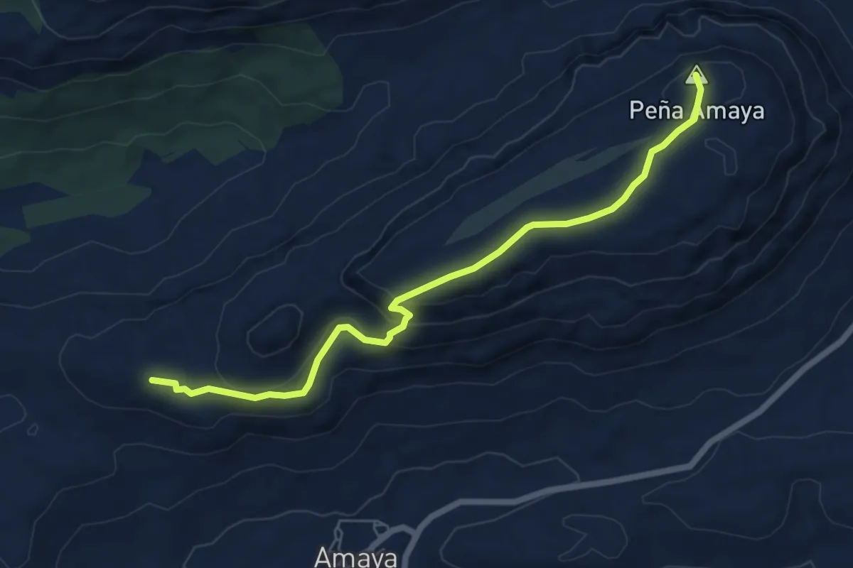
Easy · Summit
Sendero de la Peña Amaya
6.8 km · ↑ 212 m · 2 h 4 min
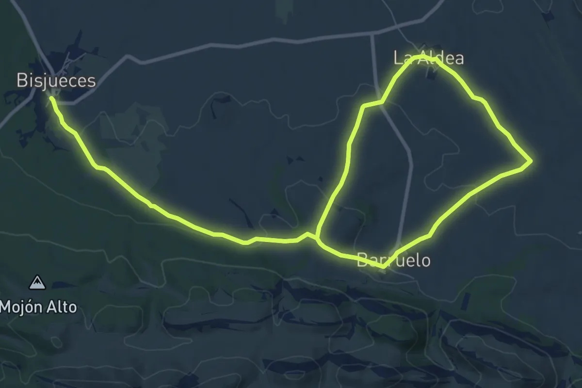
Easy · Trail
Sendero de la Rad
7.9 km · ↑ 176 m · 2 h 19 min
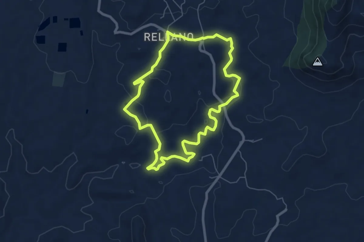
Easy · Trail
Sendero de la Rambla del Chorro
6.1 km · ↑ 122 m · 1 h 48 min
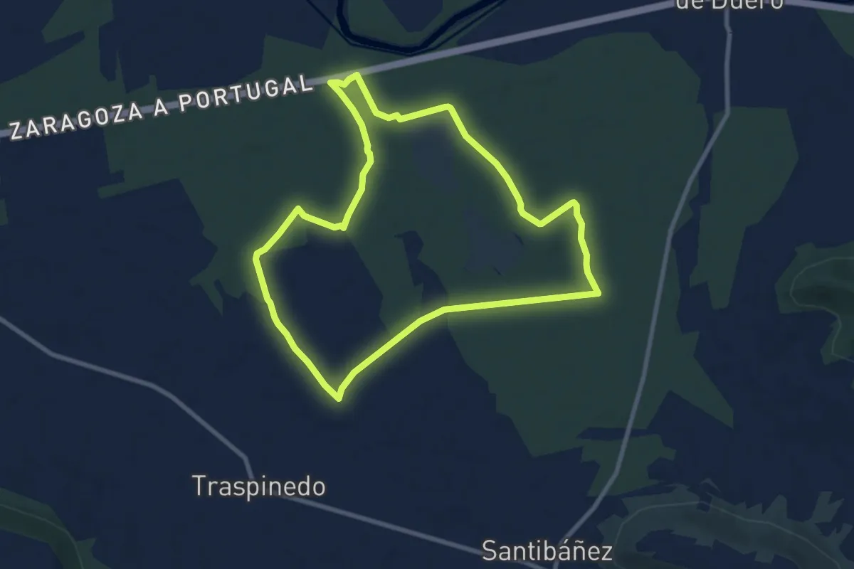
Medium · Trail
Sendero de la Resina Puente Hinojo
8.5 km · ↑ 21 m · 2 h 11 min
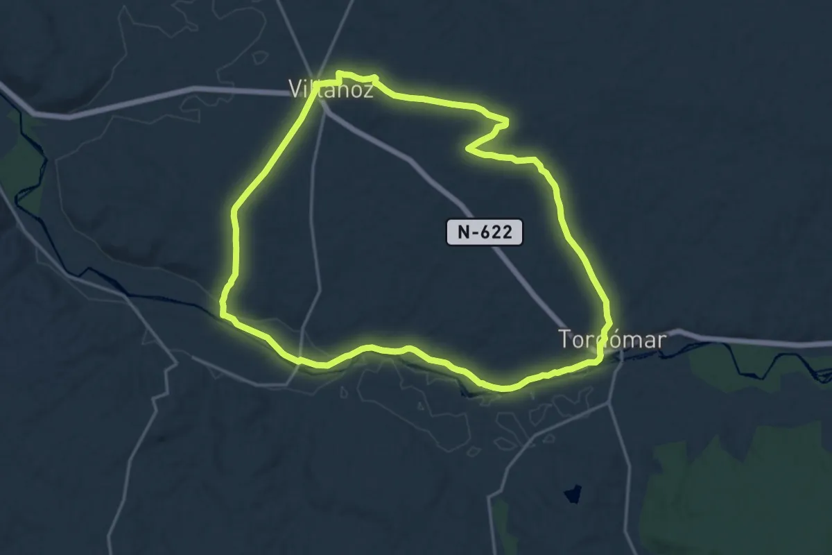
Medium · Trail
Sendero de la Ribera del Arlanza
17.2 km · ↑ 161 m · 4 h 39 min
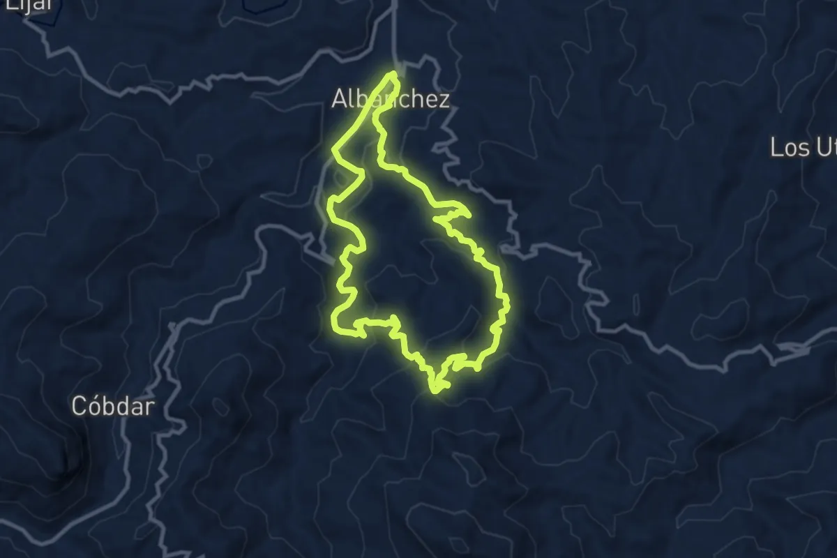
Medium · Trail
Sendero de las Aguas
10.8 km · ↑ 393 m · 3 h 33 min
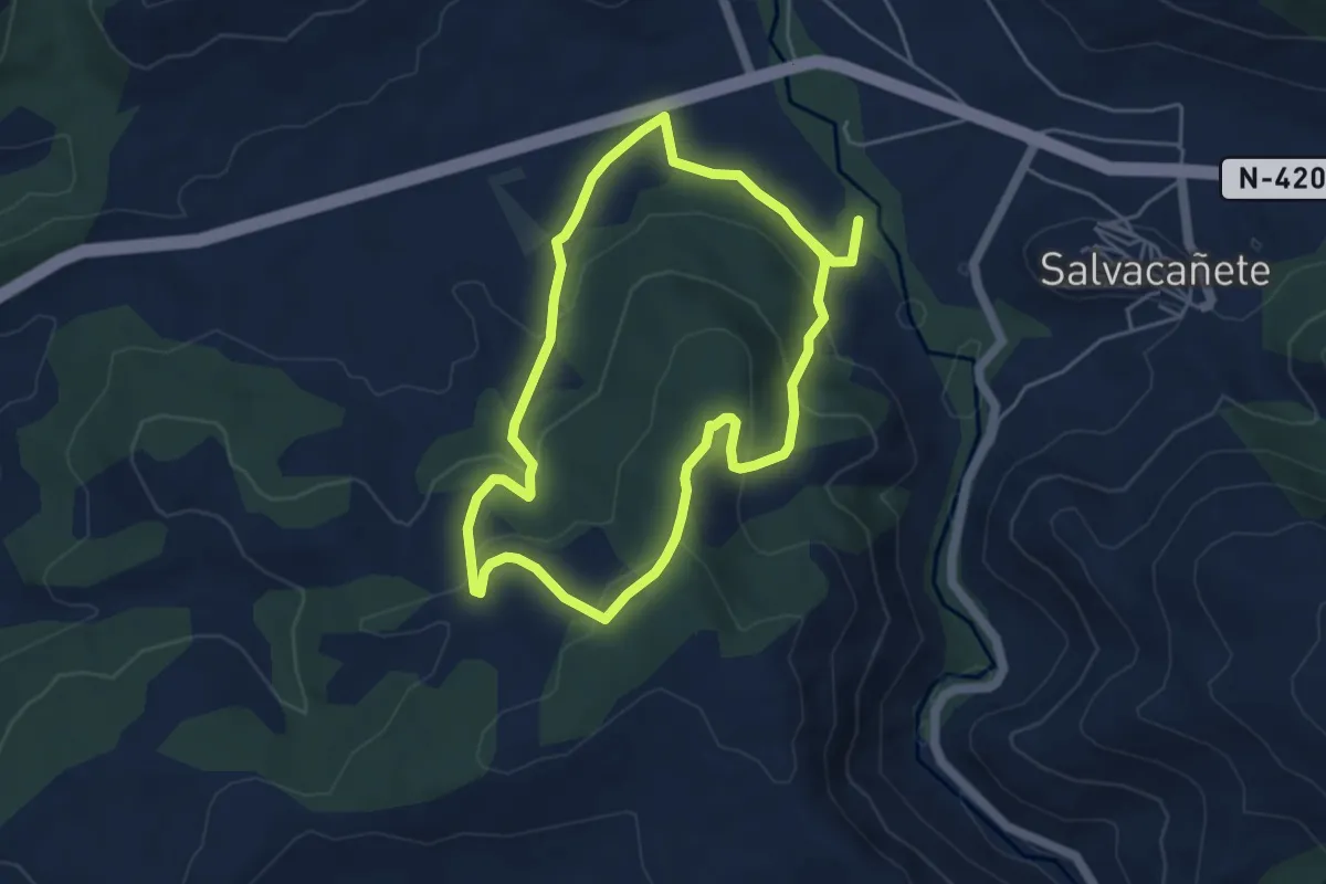
Easy · Trail
Sendero de las Almas
4.9 km · ↑ 212 m · 1 h 41 min
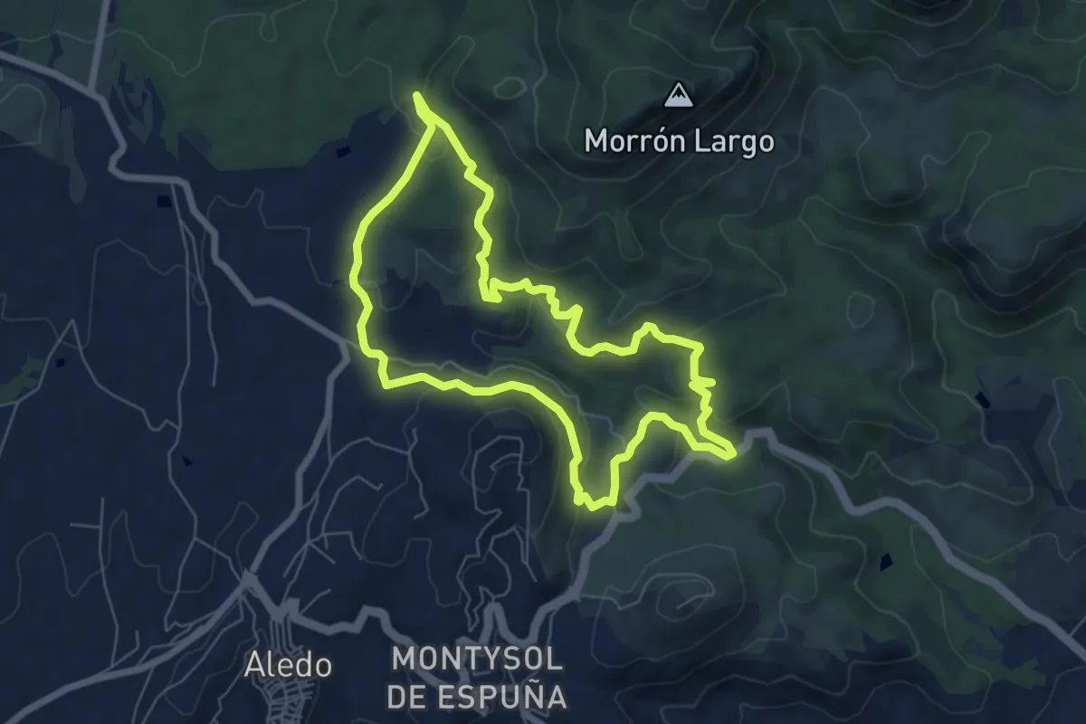
Easy · Summit
Sendero de la Santa
7.3 km · ↑ 261 m · 2 h 24 min