Trails in Spain
5,960 hiking trails, each with its route, climb, walking time and grade.
All trails, page 105 of 125
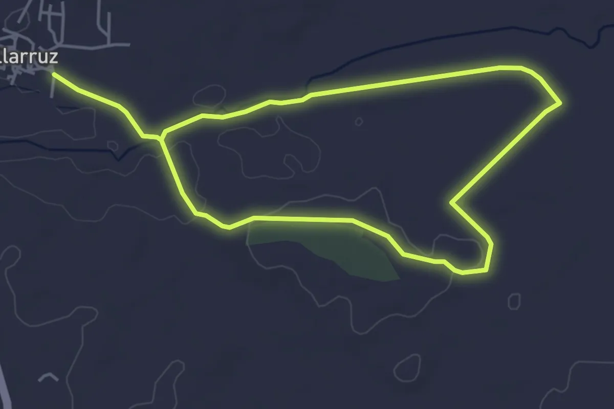
Medium · Trail
Sendero del Río Ausín
8.6 km · ↑ 59 m · 2 h 9 min
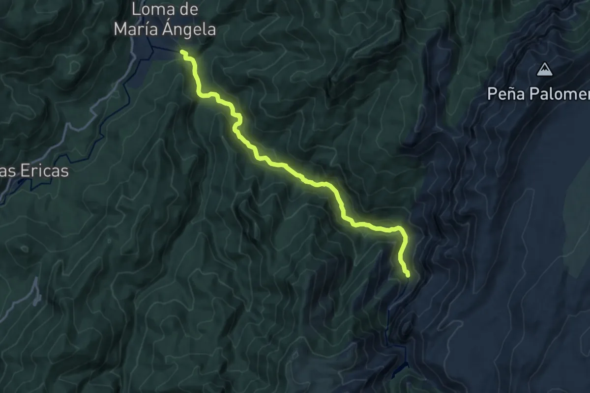
Medium · Trail
Sendero del Río Borosa
14.4 km · ↑ 419 m · 4 h 18 min
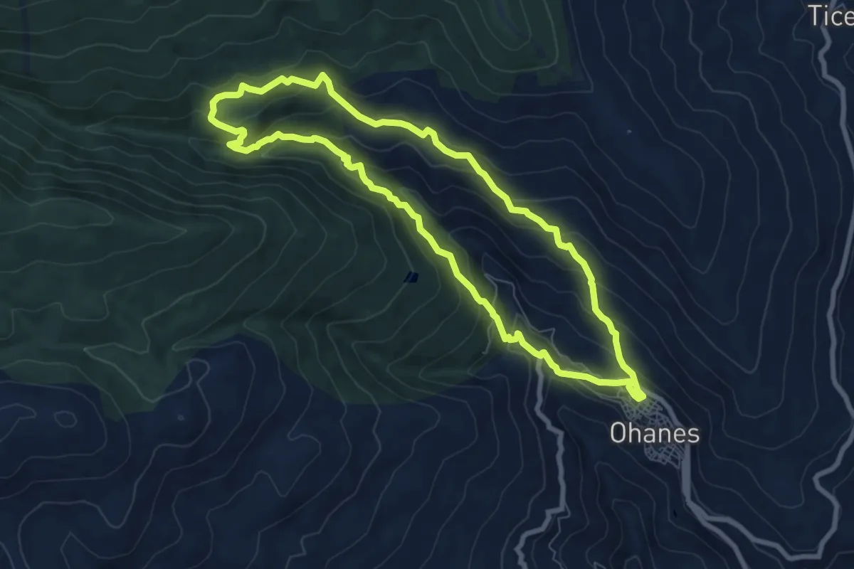
Medium · Trail
Sendero del Río Chico
8.2 km · ↑ 474 m · 3 h 5 min
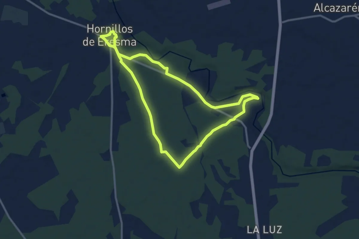
Medium · Trail
Sendero del Río Eresma
8.2 km · ↑ 29 m · 2 h 6 min
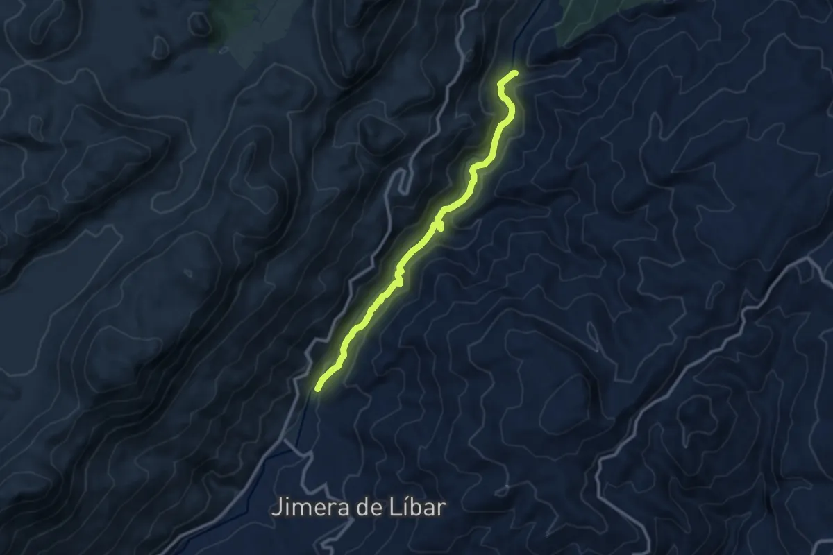
Medium · Trail
Sendero del Río Guadiaro
11.0 km · ↑ 304 m · 3 h 16 min
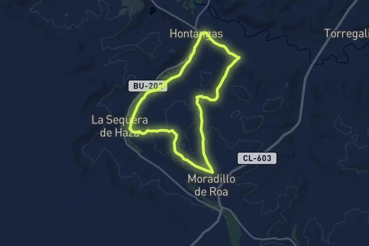
Medium · Trail
Sendero del Río Hontanguillas
9.8 km · ↑ 105 m · 2 h 41 min
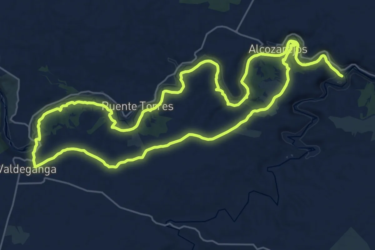
Demanding · Trail
Sendero del Rio Jucar
23.2 km · ↑ 321 m · 6 h 30 min
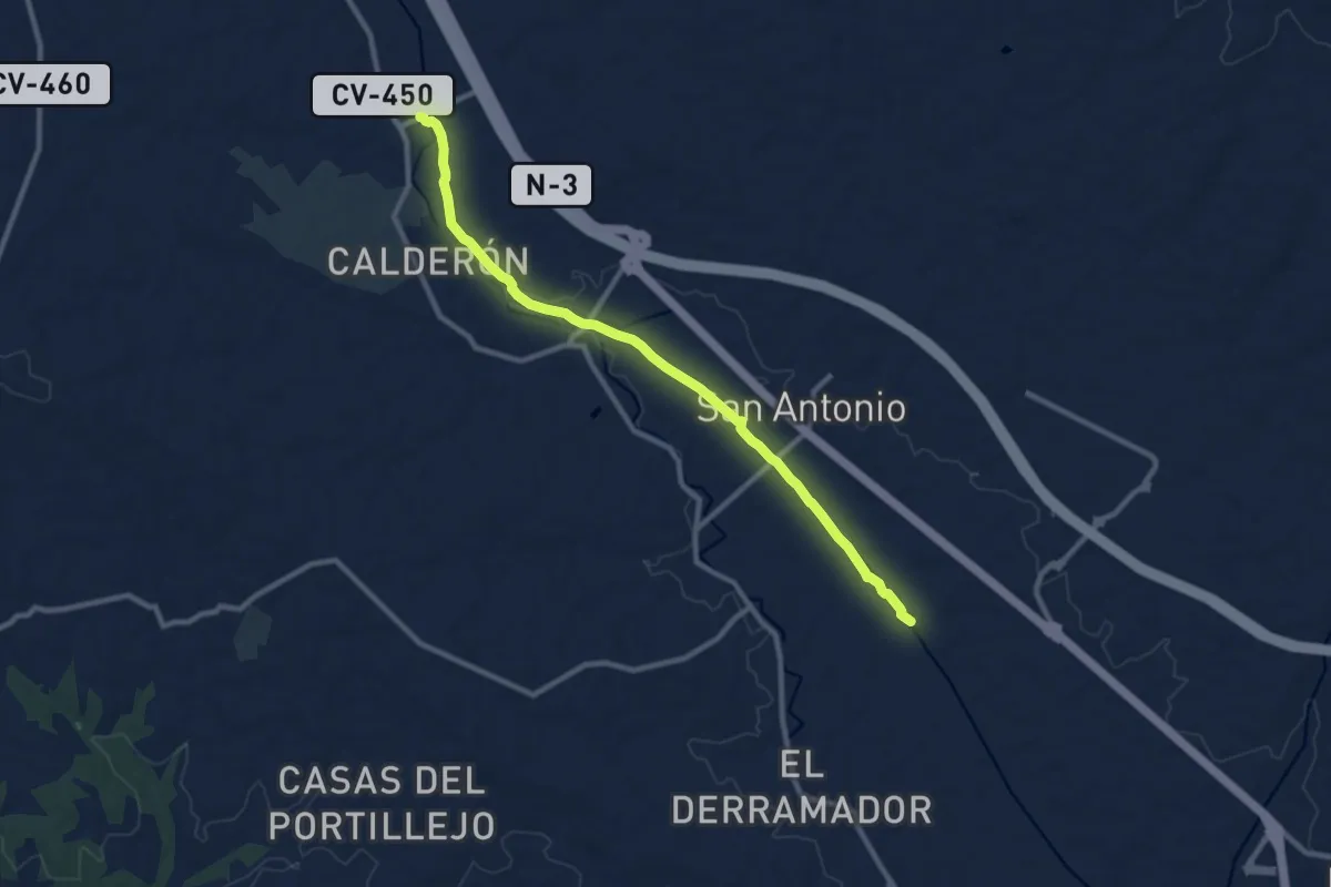
Medium · Trail
Sendero del Rio Magre
11.2 km · ↑ 34 m · 2 h 43 min
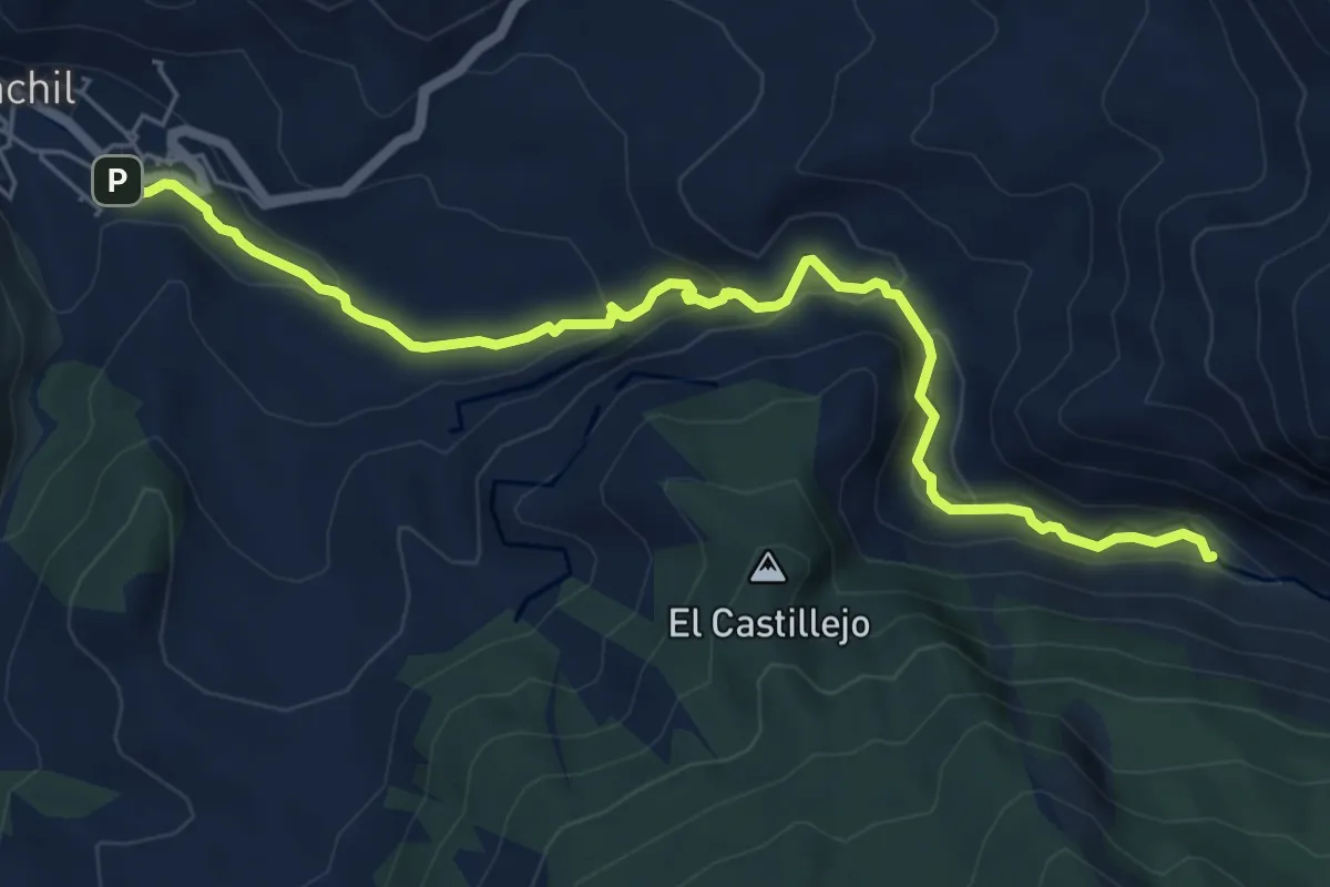
Easy · Trail
Sendero del Río Monachil
7.5 km · ↑ 293 m · 2 h 24 min
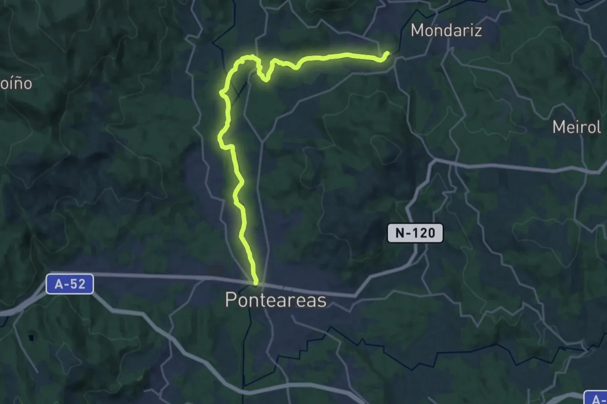
Demanding · Trail
Sendero del río Tea
21.9 km · ↑ 287 m · 5 h 47 min
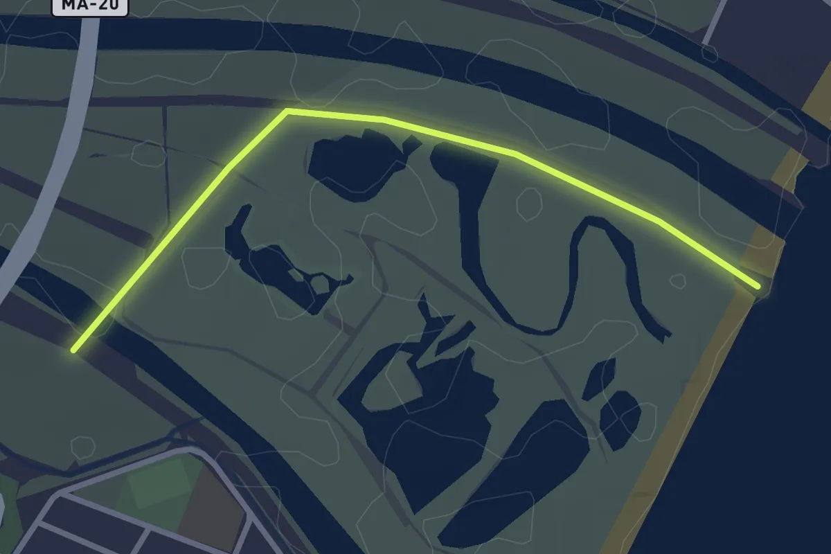
Easy · Trail
Sendero del Río Viejo
3.1 km · ↑ 0 m · 44 min
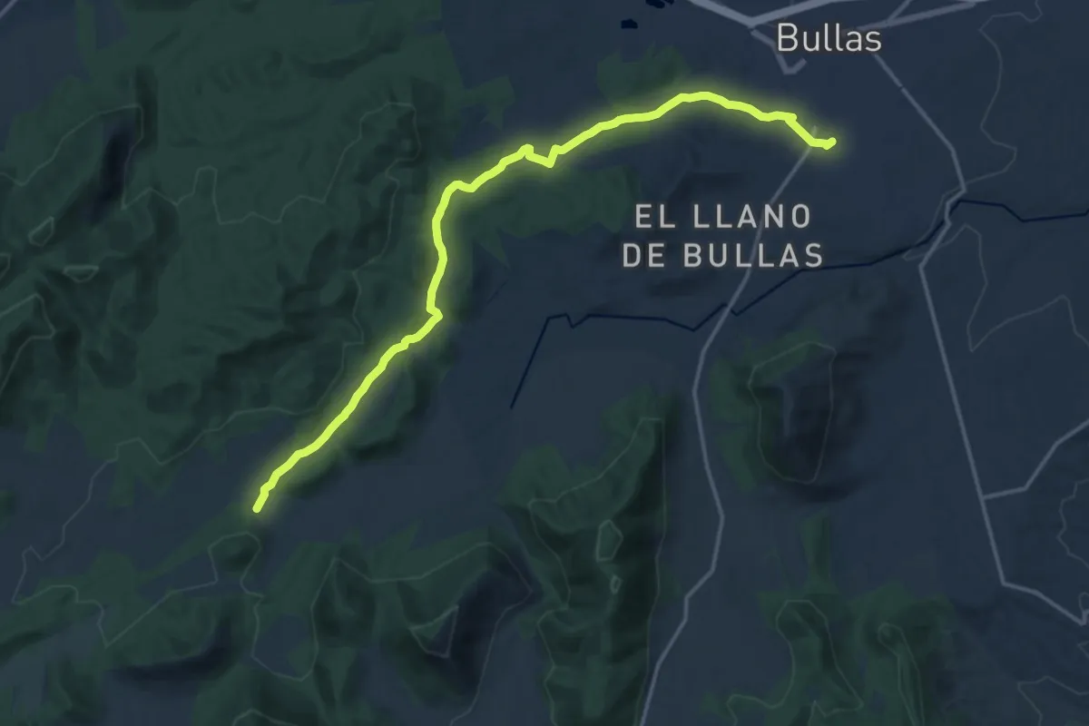
Demanding · Trail
Sendero del Romero
19.4 km · ↑ 237 m · 5 h 5 min
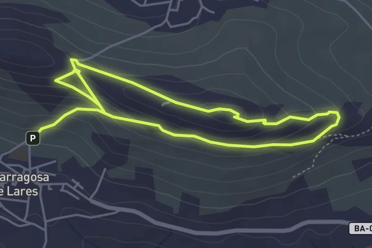
Easy · Trail
Sendero del Santero
4.0 km · ↑ 250 m · 1 h 30 min
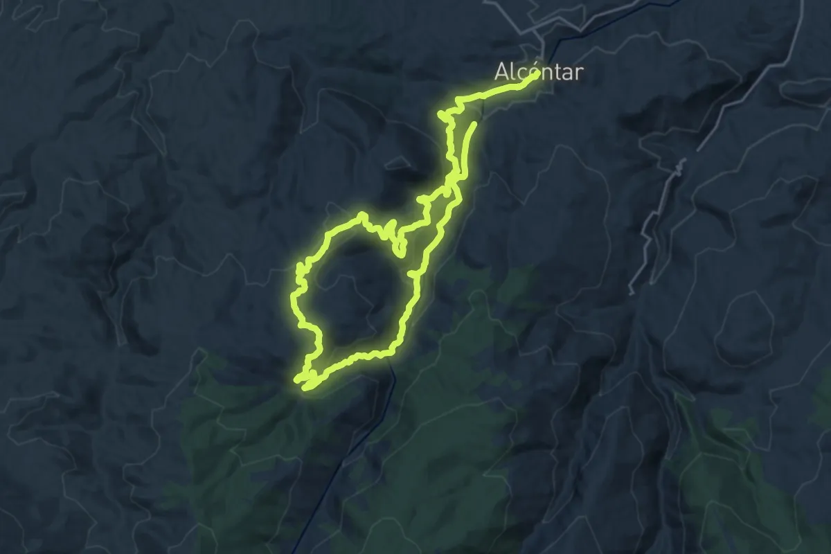
Demanding · Trail
Sendero del Sauco (Alcóntar-Carboneras)
19.0 km · ↑ 742 m · 6 h 20 min
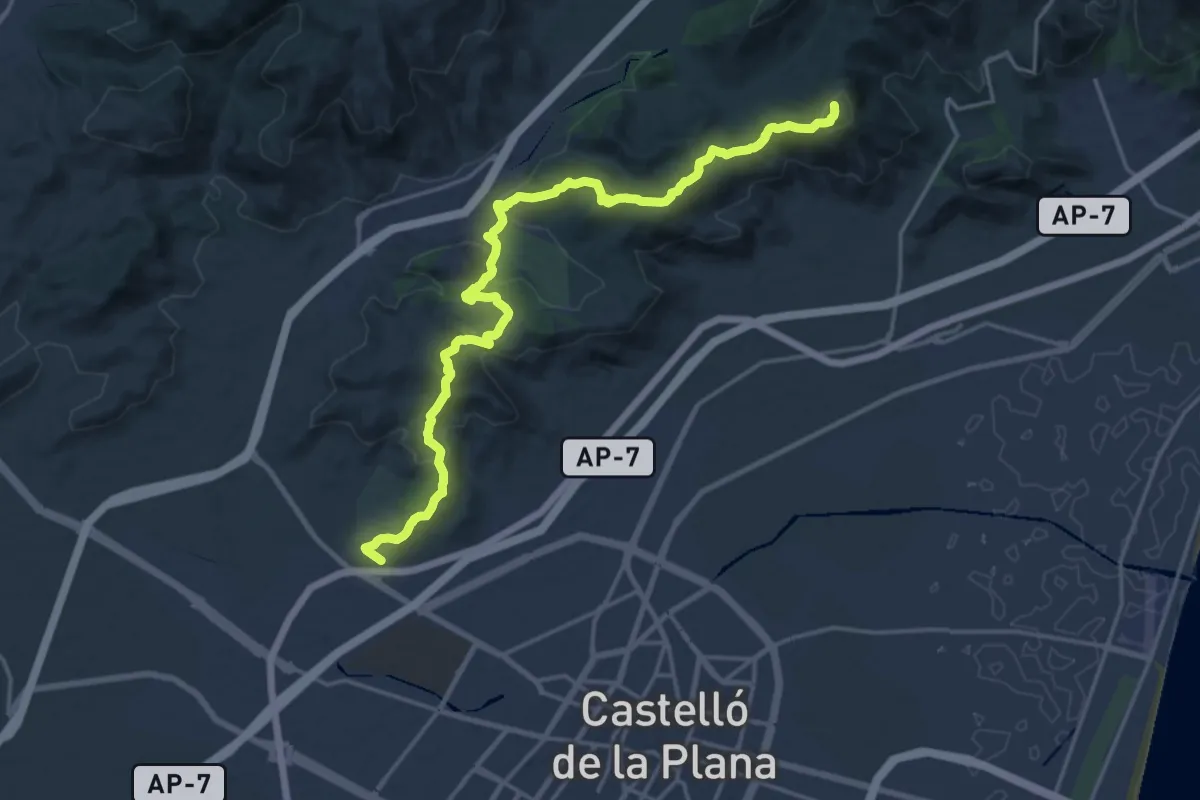
Demanding · Summit
Sendero dels Tossals de Castelló
22.4 km · ↑ 919 m · 7 h 17 min
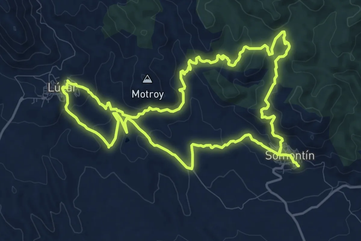
Medium · Trail
Sendero del Talco
13.3 km · ↑ 463 m · 4 h 21 min
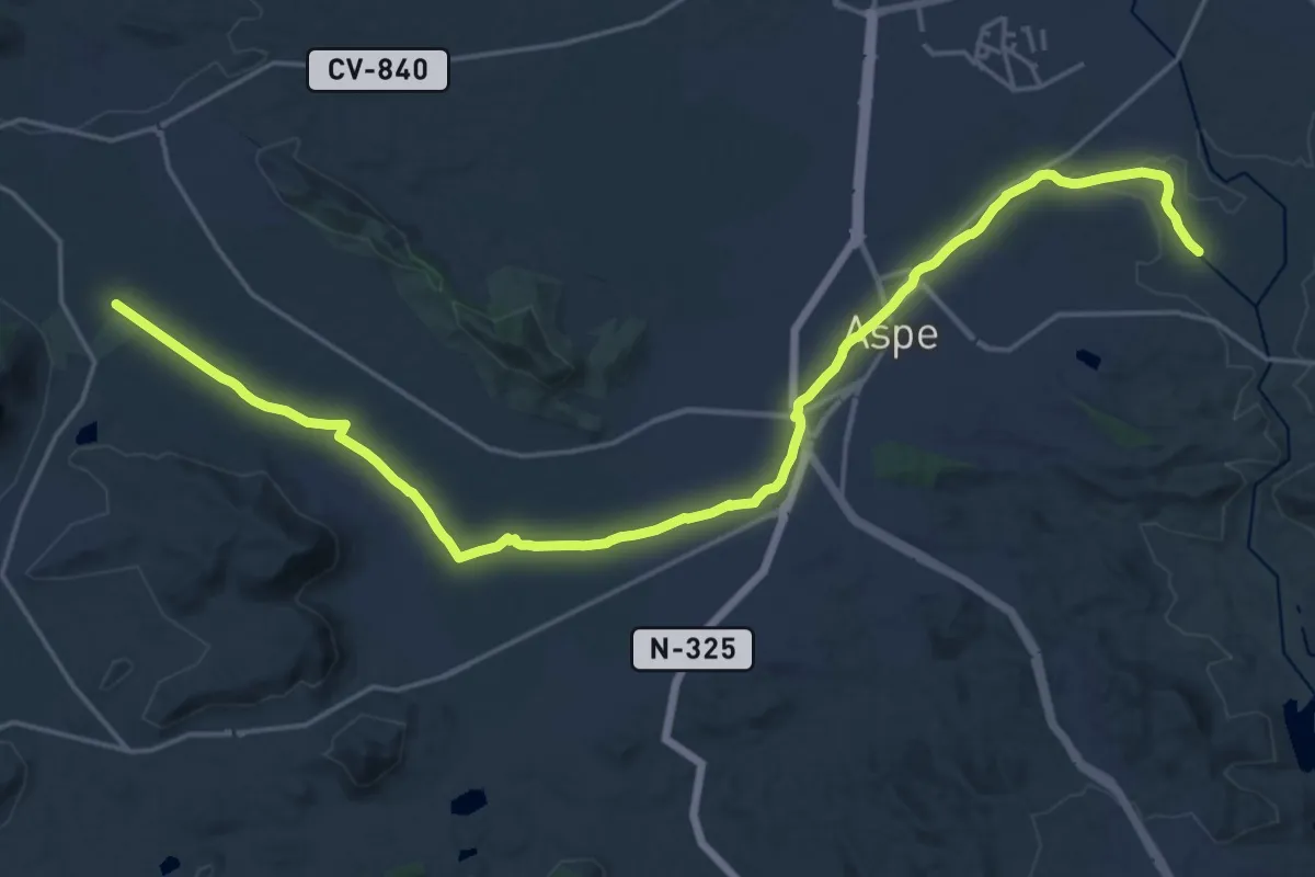
Demanding · Trail
Sendero del Tarafa
28.6 km · ↑ 163 m · 7 h 7 min
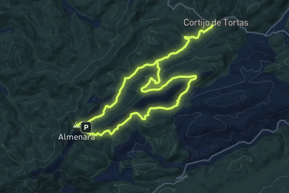
Medium · Summit
Sendero del Tejo Viejo
16.3 km · ↑ 613 m · 5 h 25 min
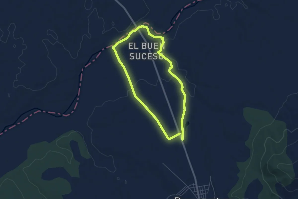
Easy · Trail
Sendero del Tiétar Buenaventura
5.4 km · ↑ 28 m · 1 h 24 min
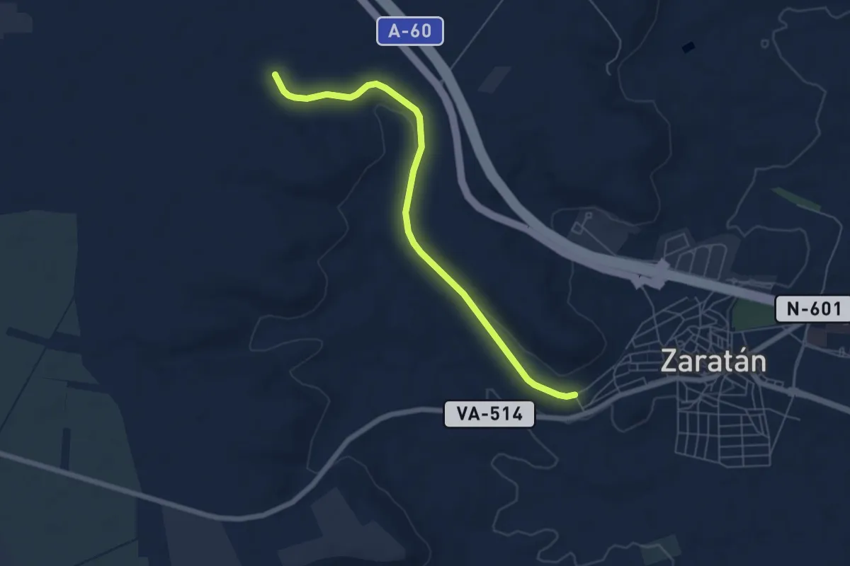
Easy · Trail
Sendero del Tren Burra
6.6 km · ↑ 78 m · 1 h 43 min
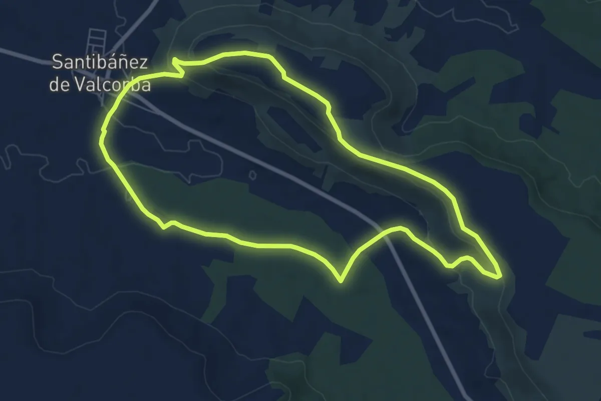
Easy · Trail
Sendero del Valcorba
7.4 km · ↑ 137 m · 2 h 8 min
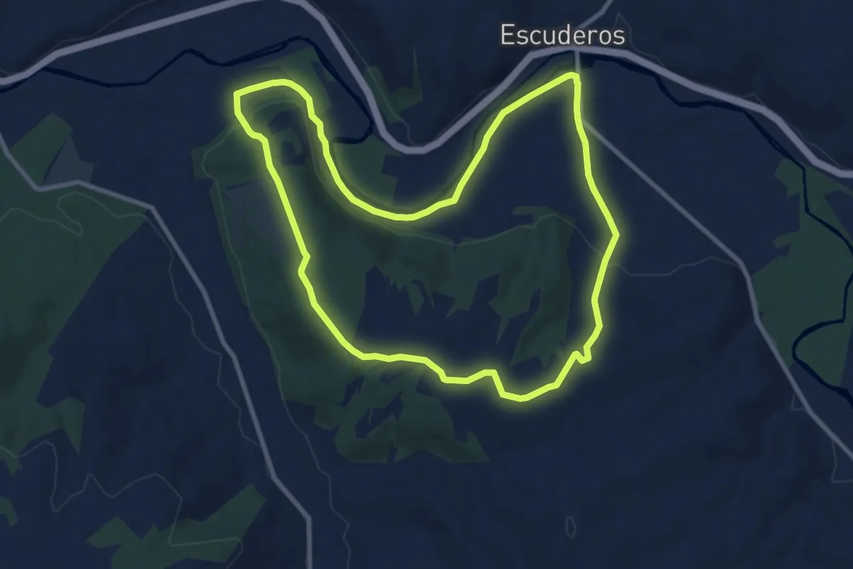
Medium · Trail
Sendero del Valle del Bajo Arlanza
9.1 km · ↑ 128 m · 2 h 33 min
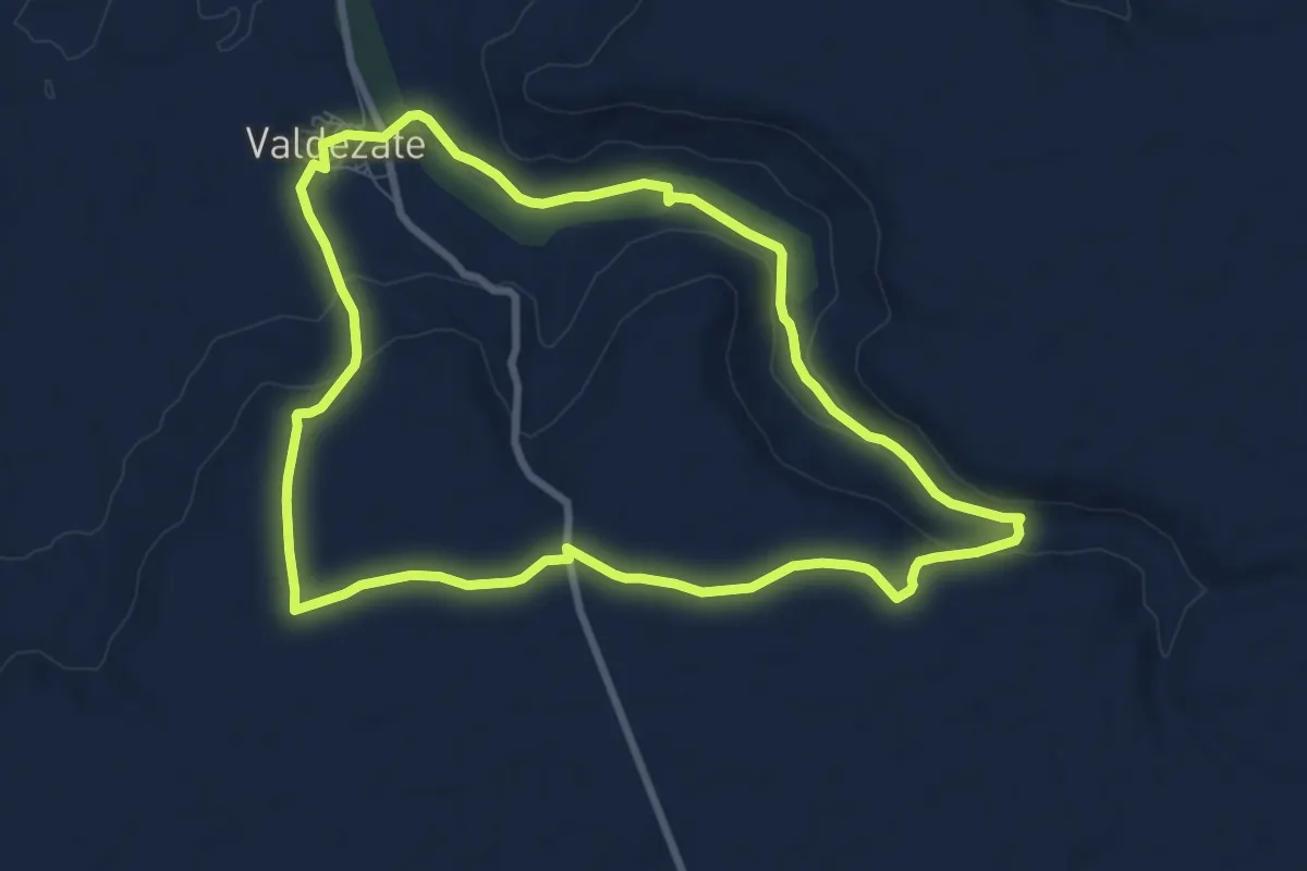
Medium · Trail
Sendero del Valle de Pozarón
9.0 km · ↑ 150 m · 2 h 34 min
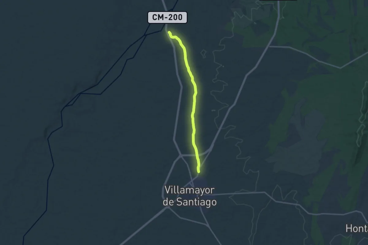
Medium · Trail
Sendero de Magaceda
13.3 km · ↑ 77 m · 3 h 18 min
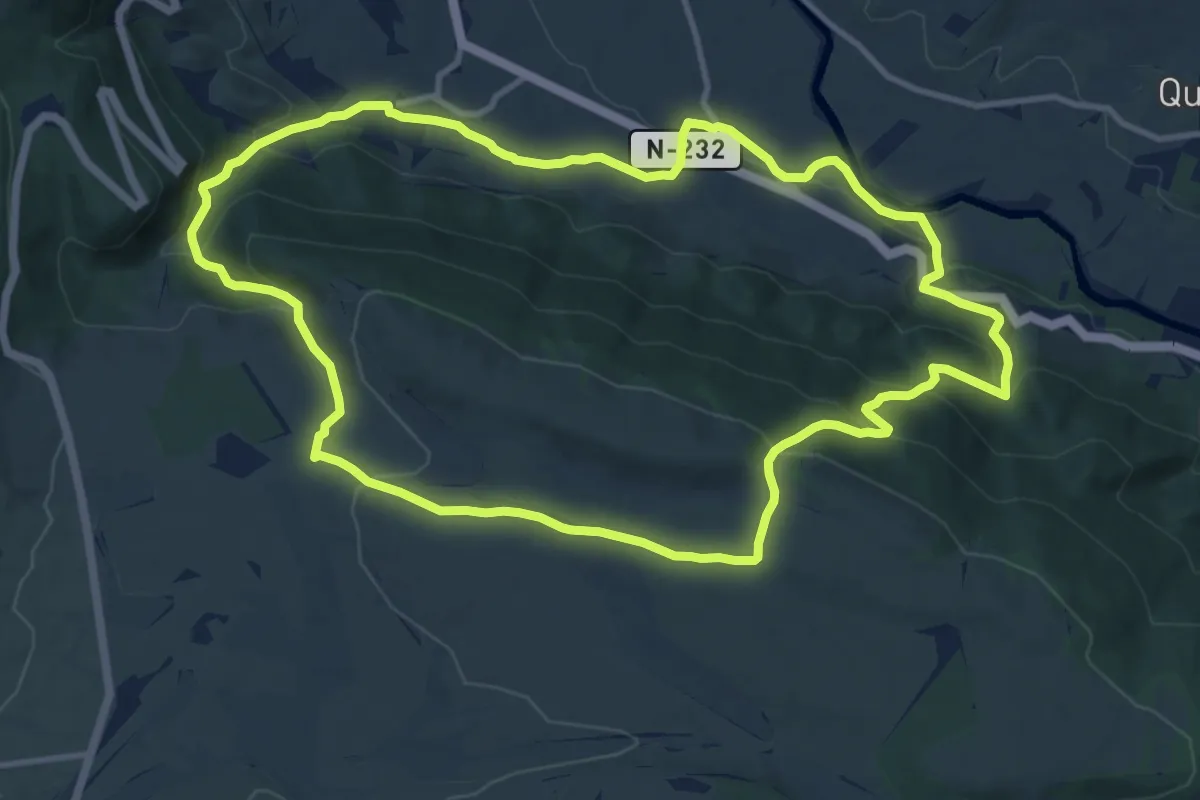
Medium · Summit
Sendero de Malvecino
12.8 km · ↑ 496 m · 4 h 17 min
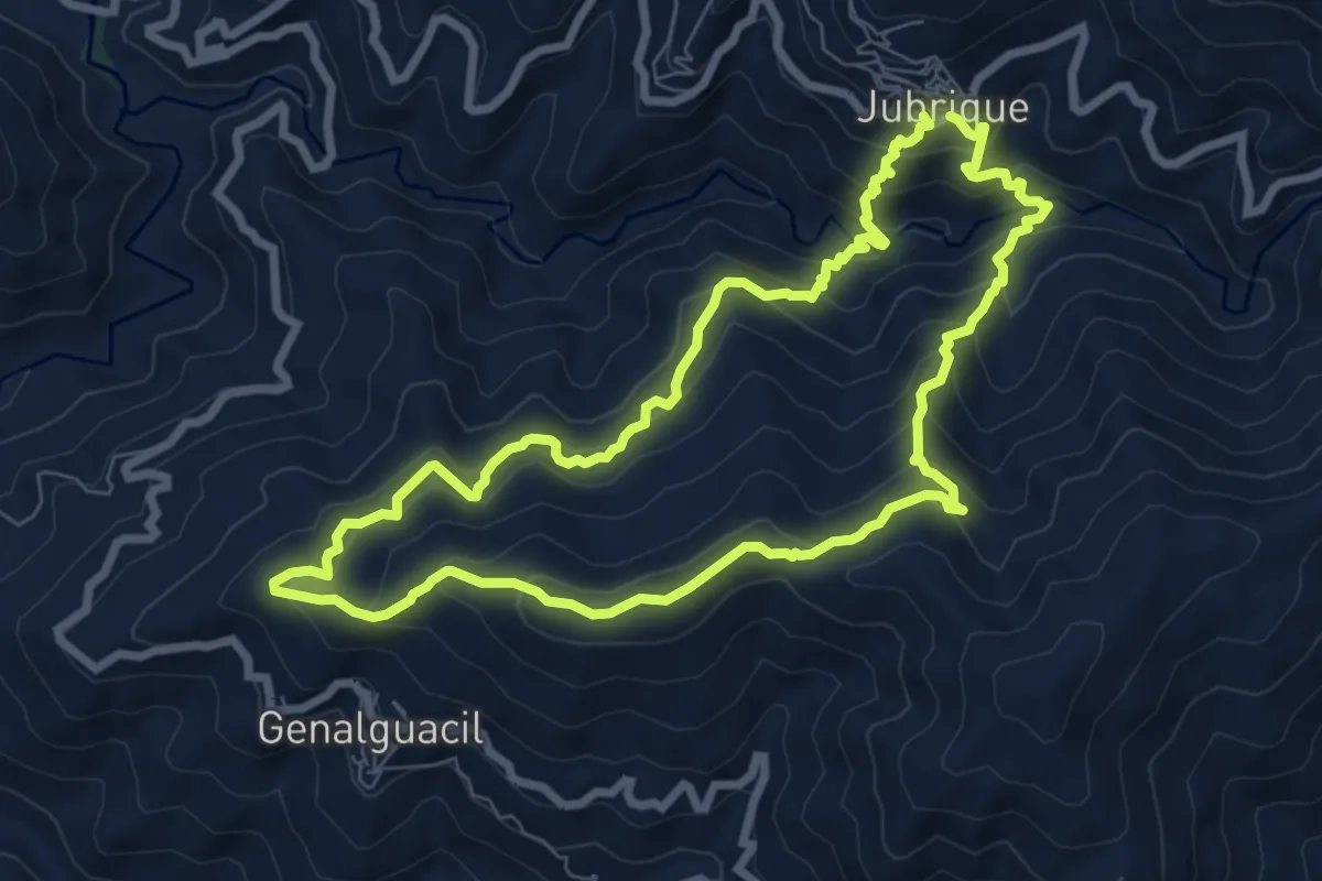
Medium · Trail
Sendero de Matagallar
8.5 km · ↑ 622 m · 3 h 28 min
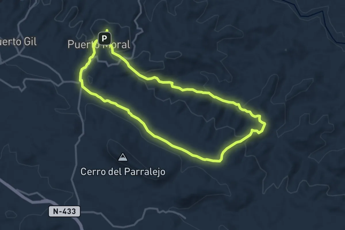
Medium · Trail
Sendero de Montenegrón
9.8 km · ↑ 273 m · 3 h 3 min
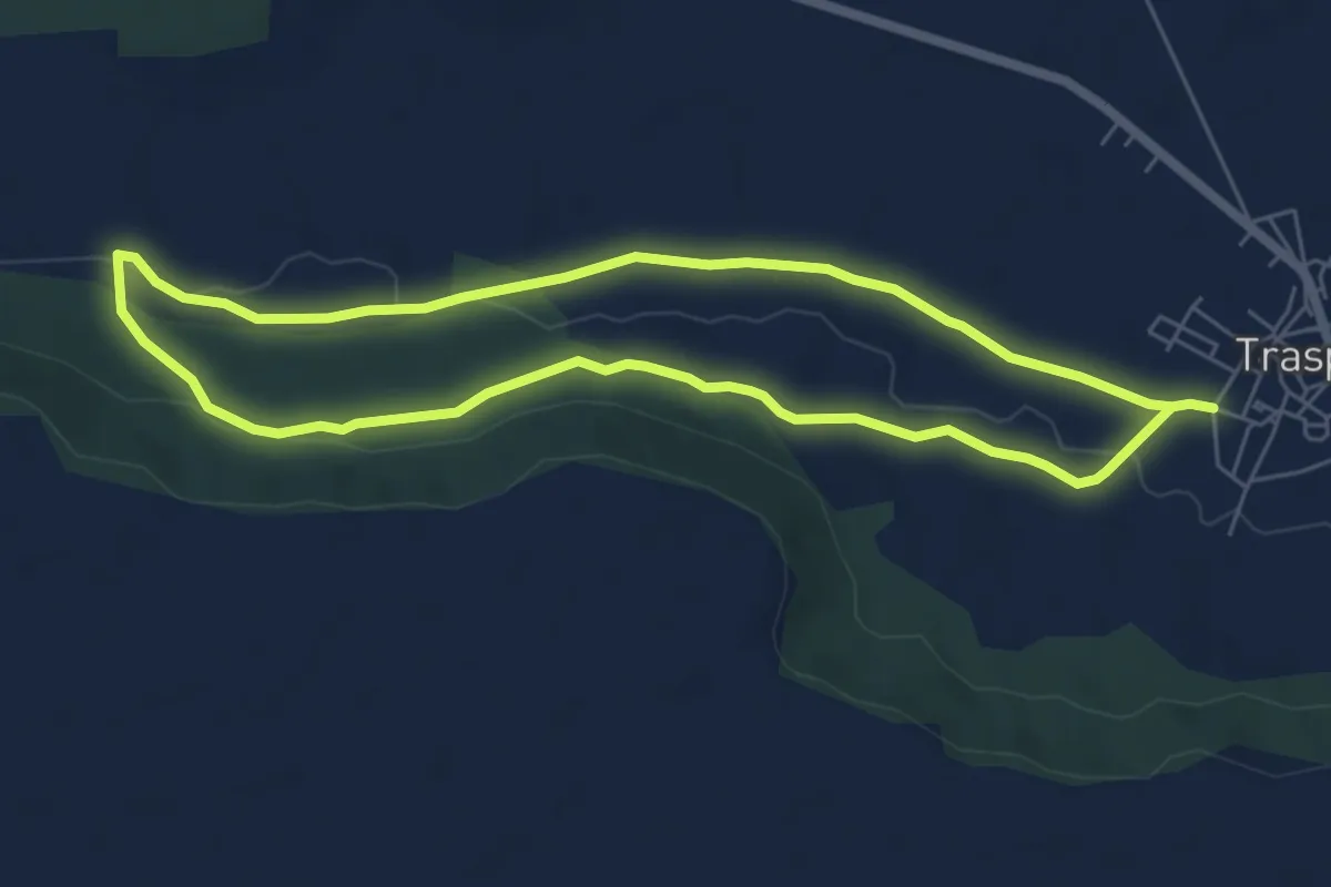
Easy · Trail
Sendero de Negredo
6.2 km · ↑ 82 m · 1 h 44 min
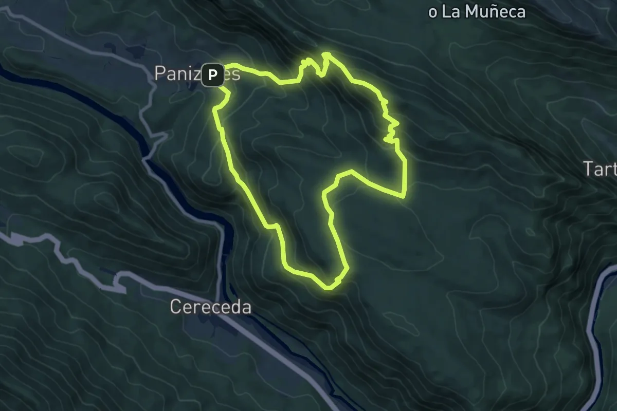
Medium · Summit
Sendero de Peña Escalera
8.0 km · ↑ 530 m · 3 h 8 min
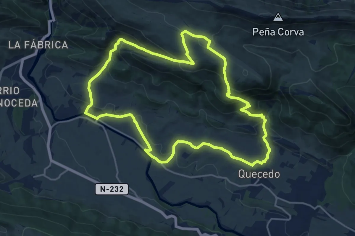
Medium · Trail
Sendero de Pilas
13.1 km · ↑ 580 m · 4 h 32 min
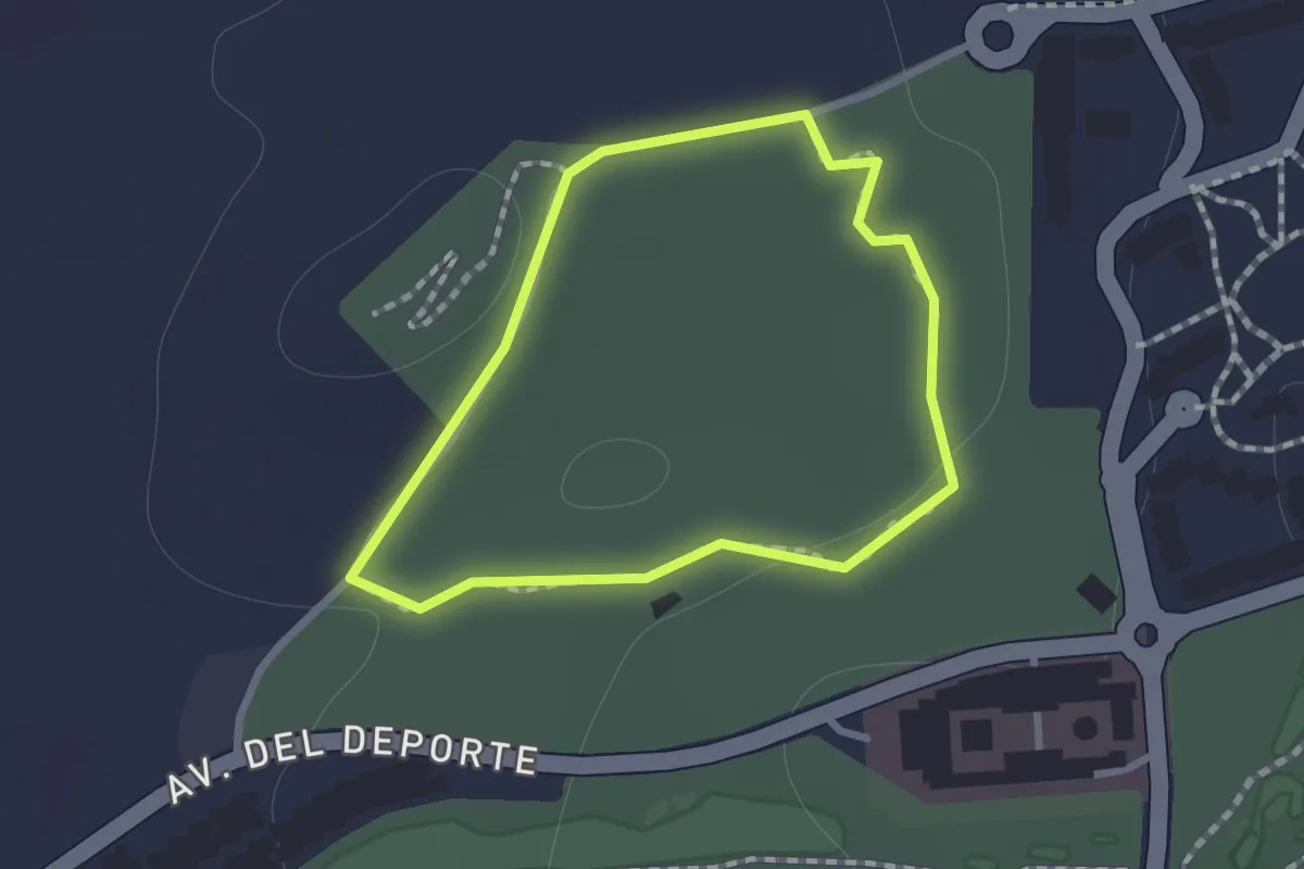
Easy · Trail
Sendero Deportivo Parque Camaleón
1.0 km · ↑ 10 m · 16 min
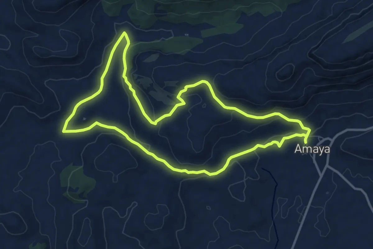
Medium · Trail
Sendero de Puentes de Amaya
9.6 km · ↑ 239 m · 2 h 56 min
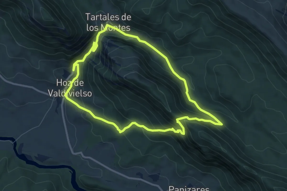
Medium · Trail
Sendero de Puerta
7.8 km · ↑ 430 m · 2 h 53 min
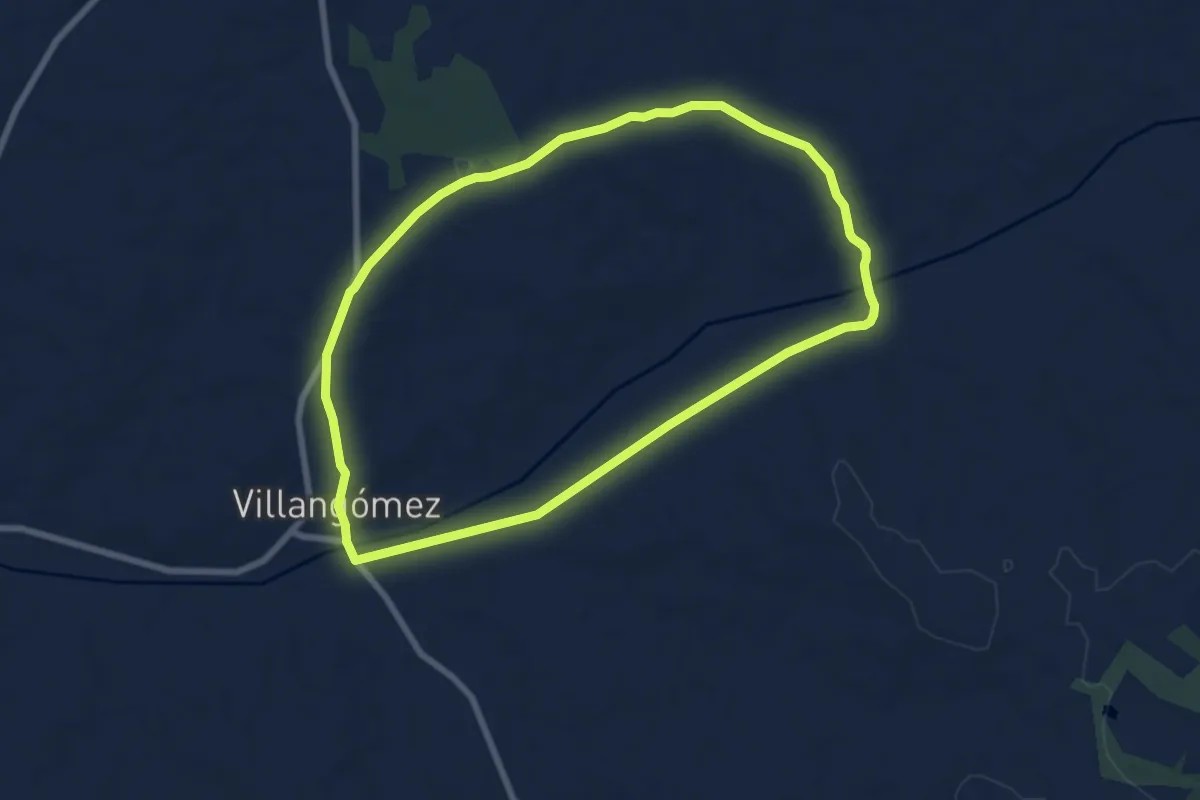
Easy · Trail
Sendero de Quintanilleja y Calzada
7.8 km · ↑ 73 m · 2 h 7 min
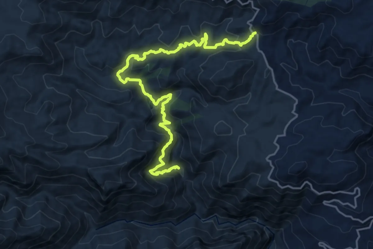
Demanding · Trail
Sendero de Río Verde
17.1 km · ↑ 1099 m · 6 h 25 min
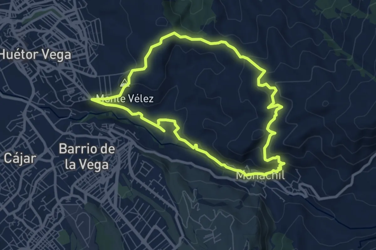
Easy · Summit
Sendero de San Antón
7.6 km · ↑ 306 m · 2 h 35 min
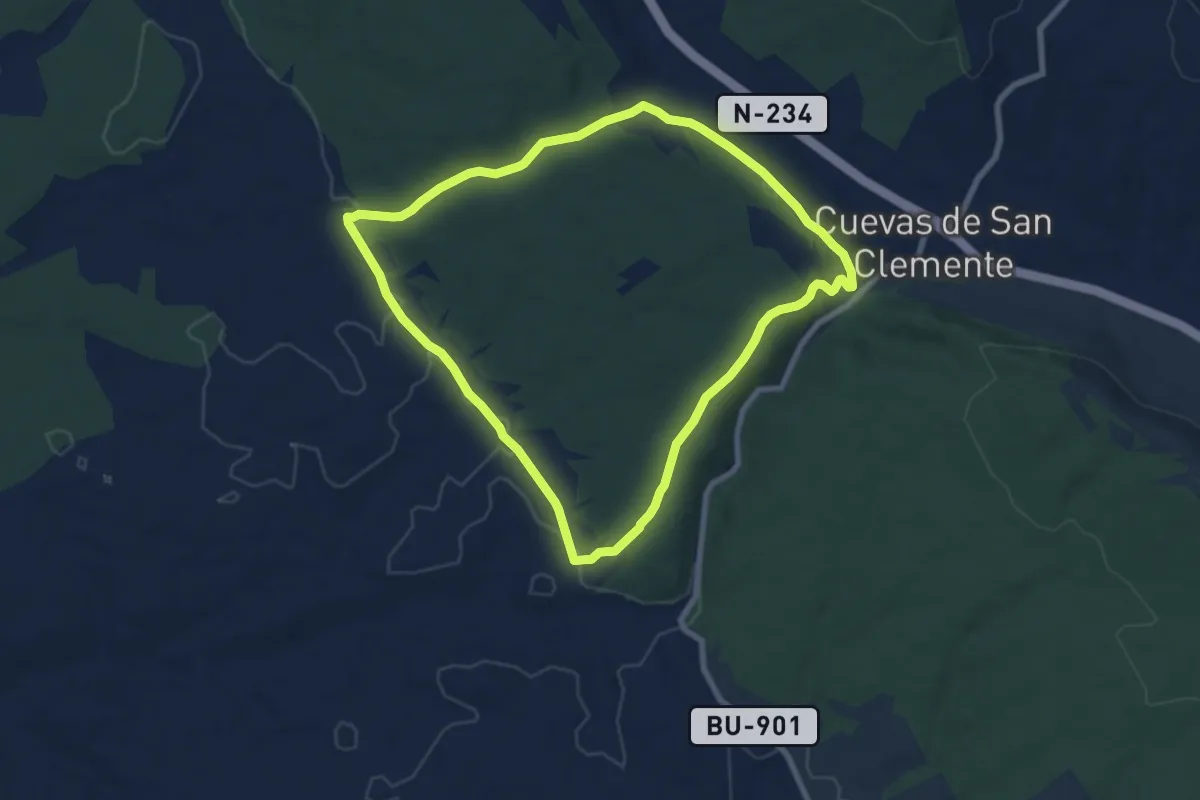
Medium · Summit
Sendero de San Clemente
8.1 km · ↑ 137 m · 2 h 20 min
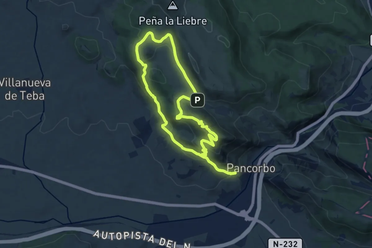
Medium · Summit
Sendero de Santa Engracia
9.7 km · ↑ 481 m · 3 h 28 min
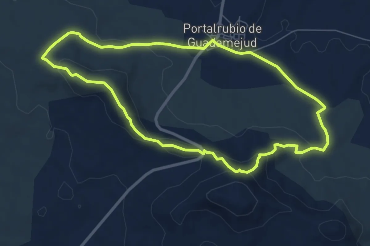
Easy · Trail
Sendero de Sierra Gorda. Portalrubio de Guadamejud
6.3 km · ↑ 202 m · 2 h 1 min
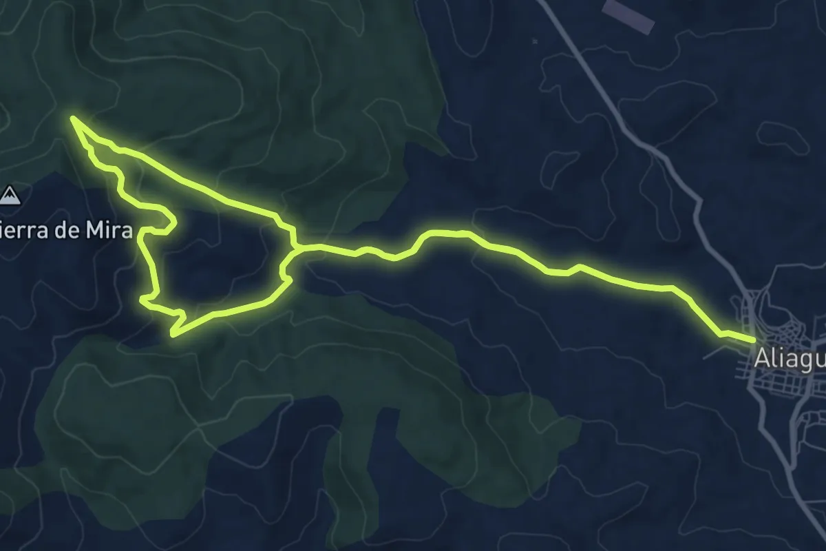
Medium · Trail
Sendero de Torrelahuerta
10.4 km · ↑ 339 m · 3 h 20 min
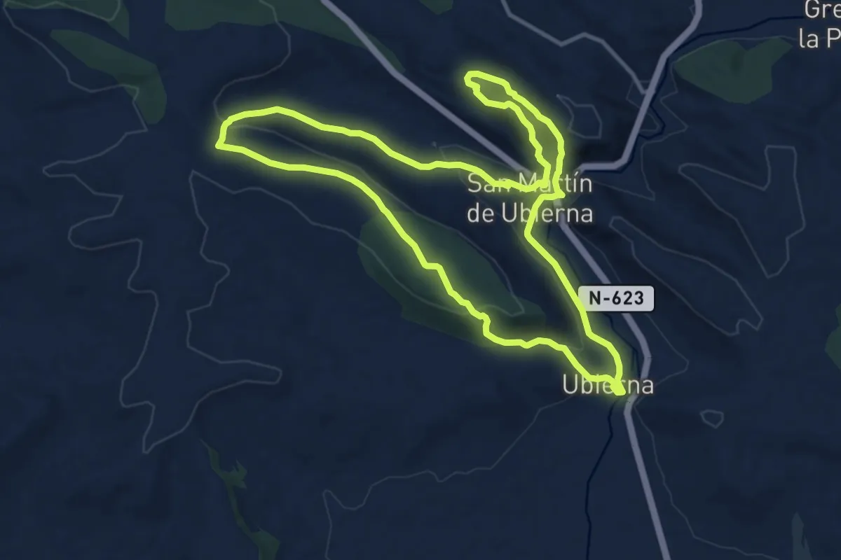
Medium · Trail
Sendero de Ubiernaentre la Dehesa y el Cañón
12.0 km · ↑ 266 m · 3 h 34 min
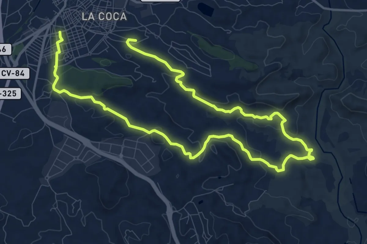
Demanding · Trail
Sendero de Upanel - Aspe
19.7 km · ↑ 450 m · 5 h 38 min
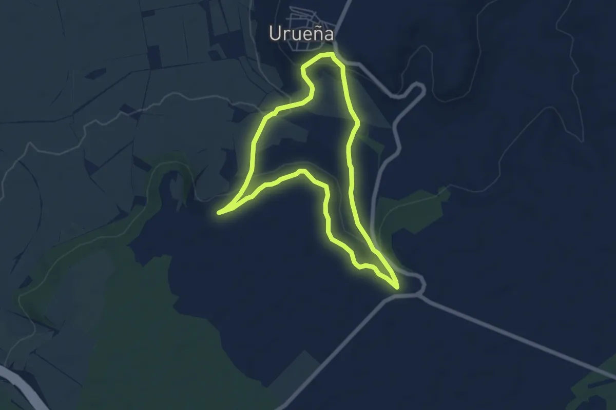
Easy · Trail
Sendero de Valdefuentes
5.5 km · ↑ 162 m · 1 h 44 min
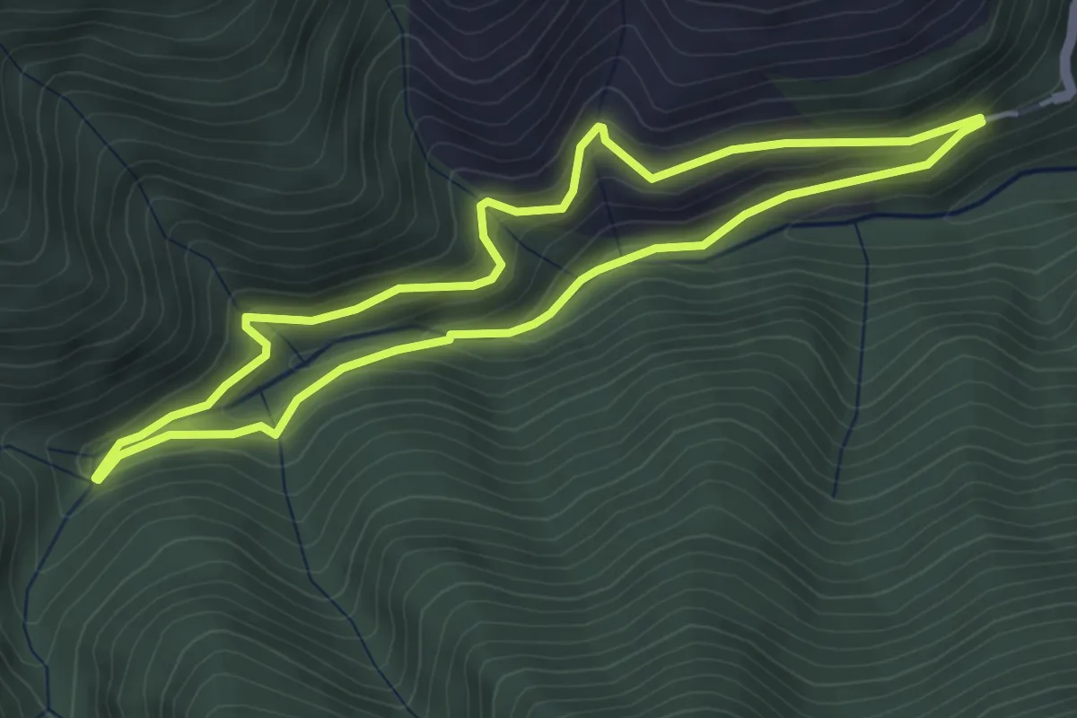
Easy · Trail
Sendero de Valvanera
4.4 km · ↑ 239 m · 1 h 37 min
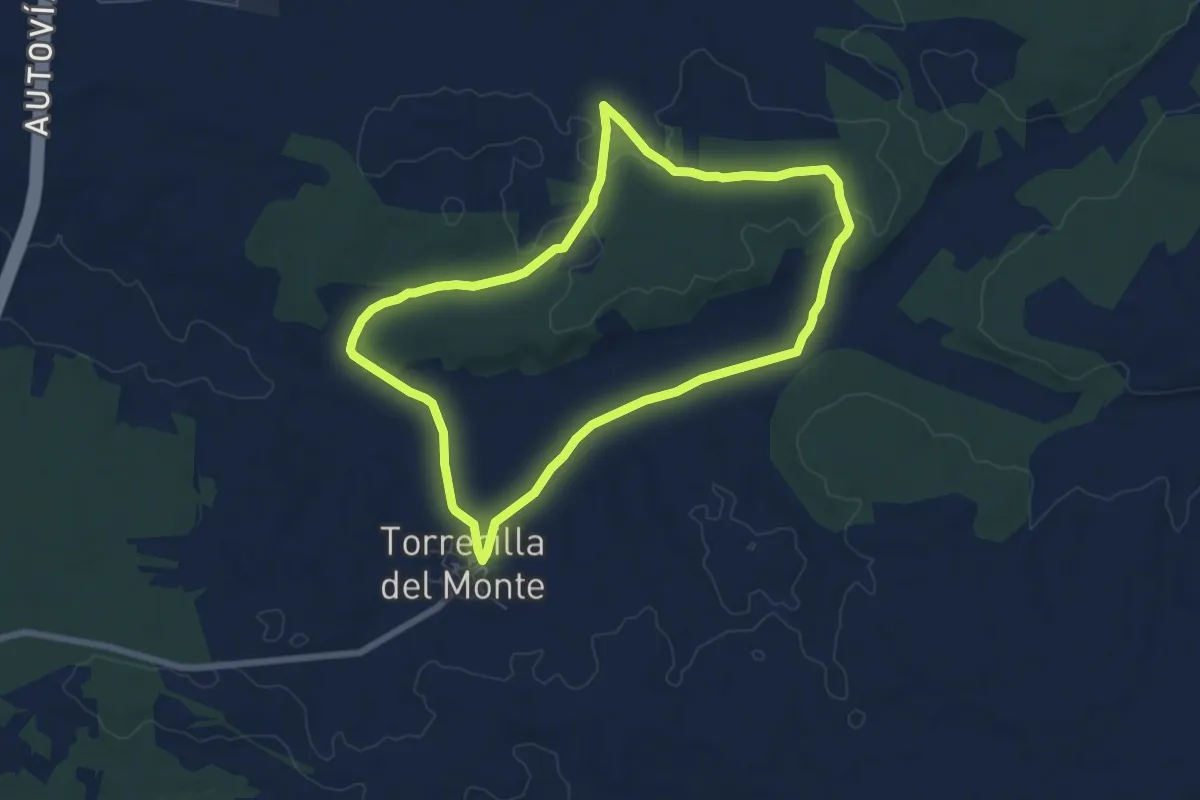
Easy · Trail
Sendero de Valzalamio
7.2 km · ↑ 88 m · 1 h 59 min
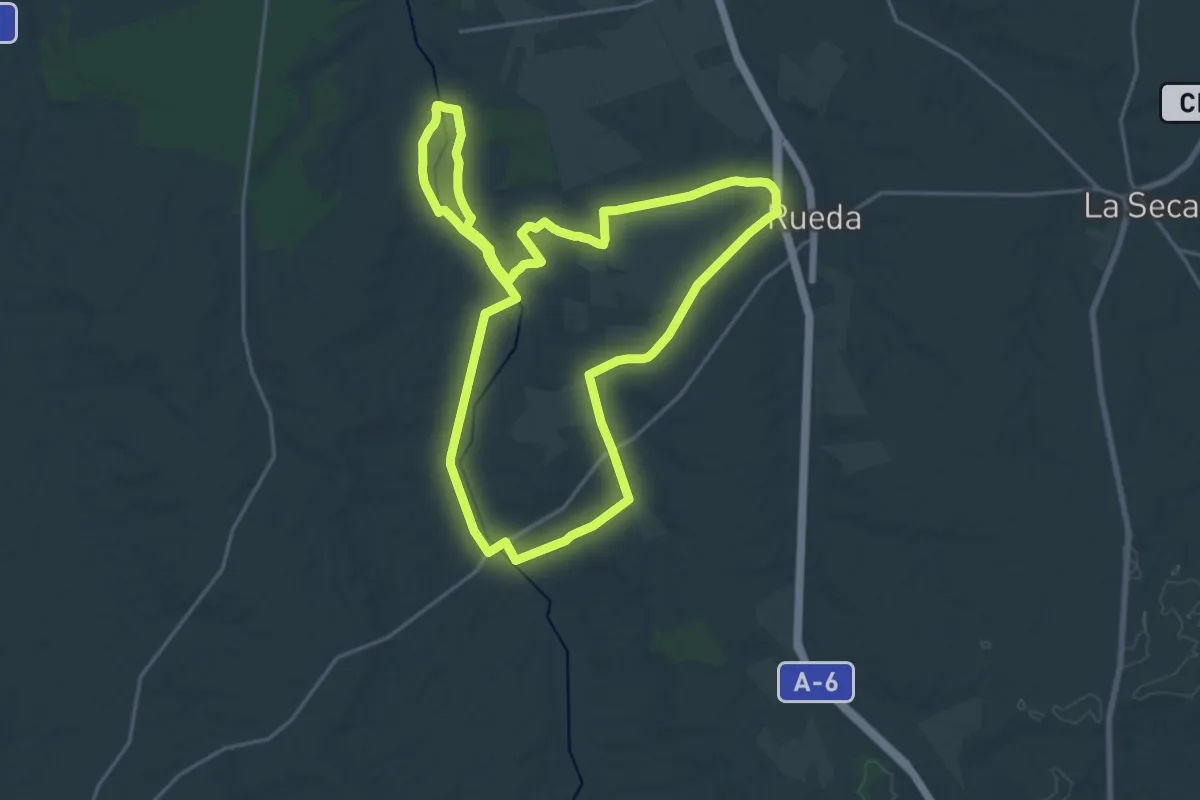
Demanding · Trail
Sendero de Zofraga
22.9 km · ↑ 145 m · 6 h 2 min
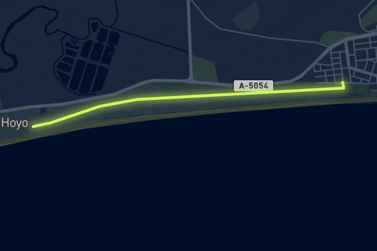
Easy · Trail
Sendero Dunas de Isla Cristina
5.8 km · ↑ 0 m · 1 h 22 min
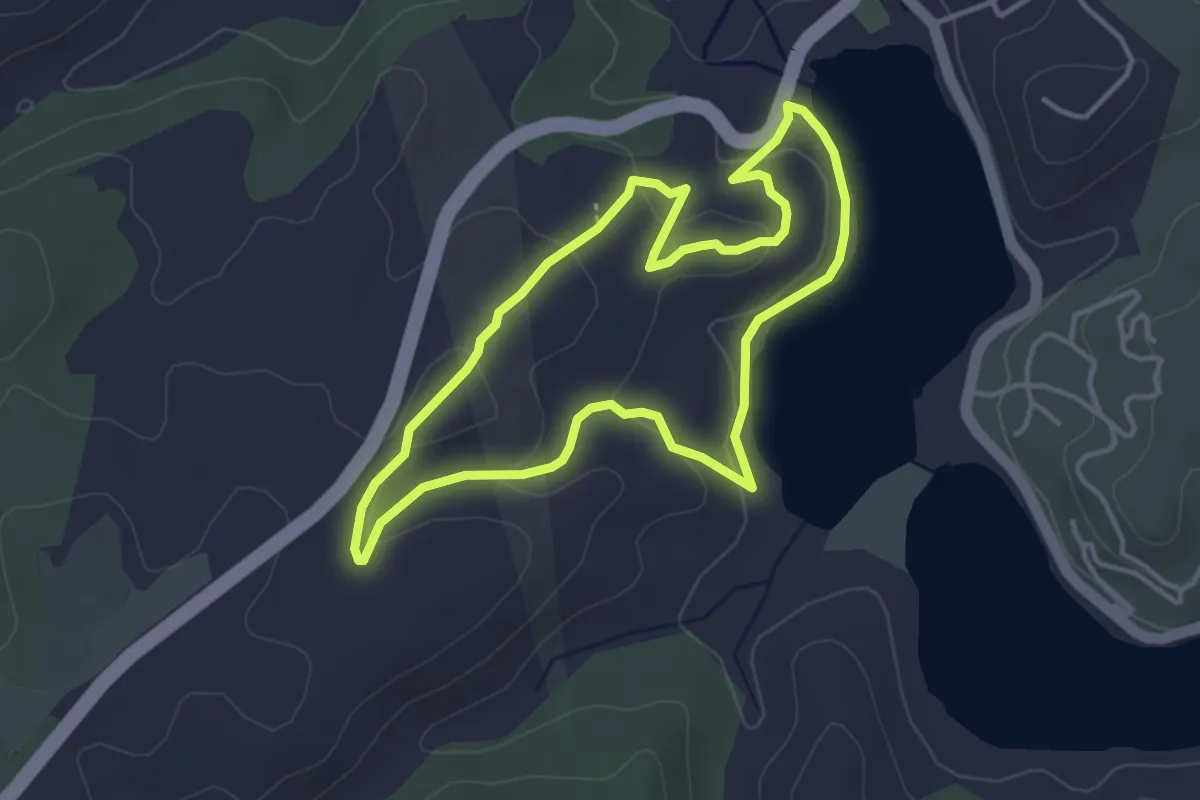
Easy · Trail
Sendero El Bao
4.1 km · ↑ 100 m · 1 h 14 min