Trails in Spain
5,960 hiking trails, each with its route, climb, walking time and grade.
All trails, page 107 of 125
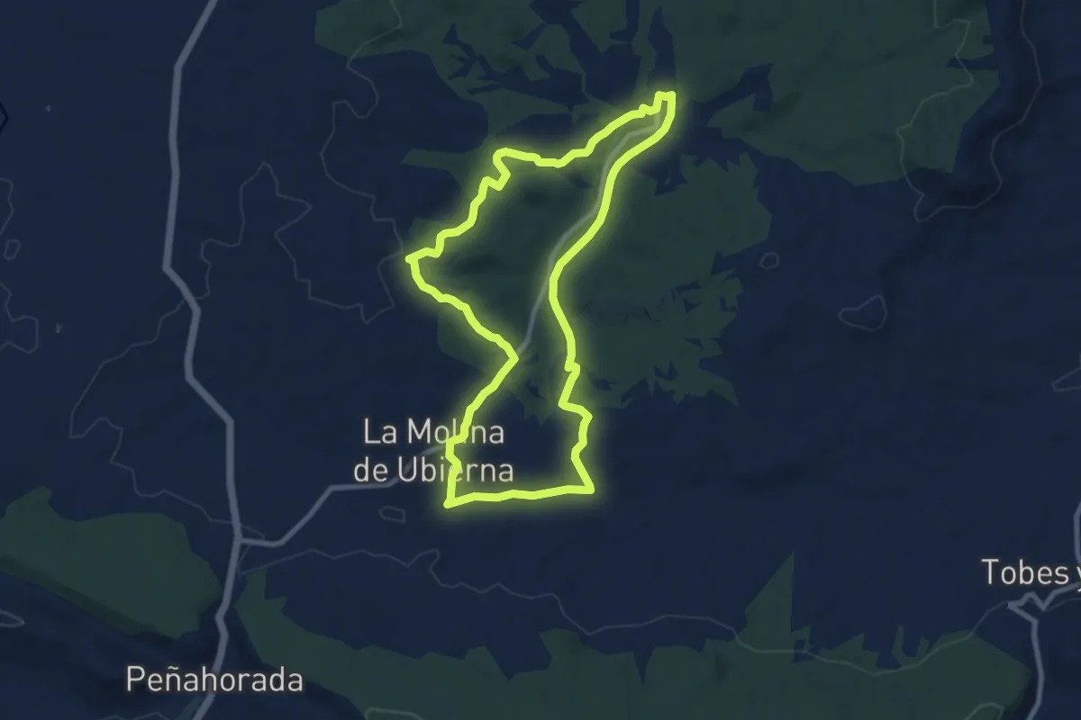
Medium · Trail
Sendero las Torcas
9.2 km · ↑ 162 m · 2 h 40 min
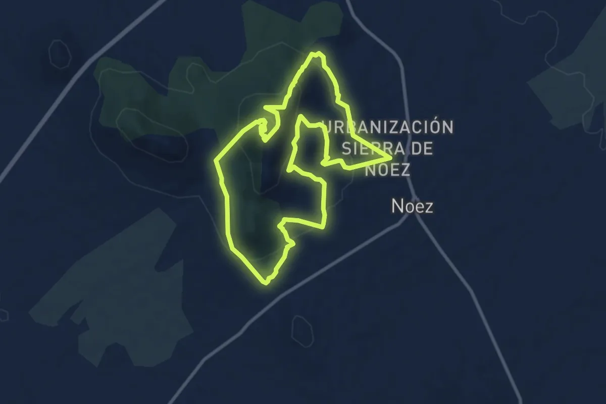
Medium · Summit
Sendero Las Trincheras
9.3 km · ↑ 414 m · 3 h 14 min
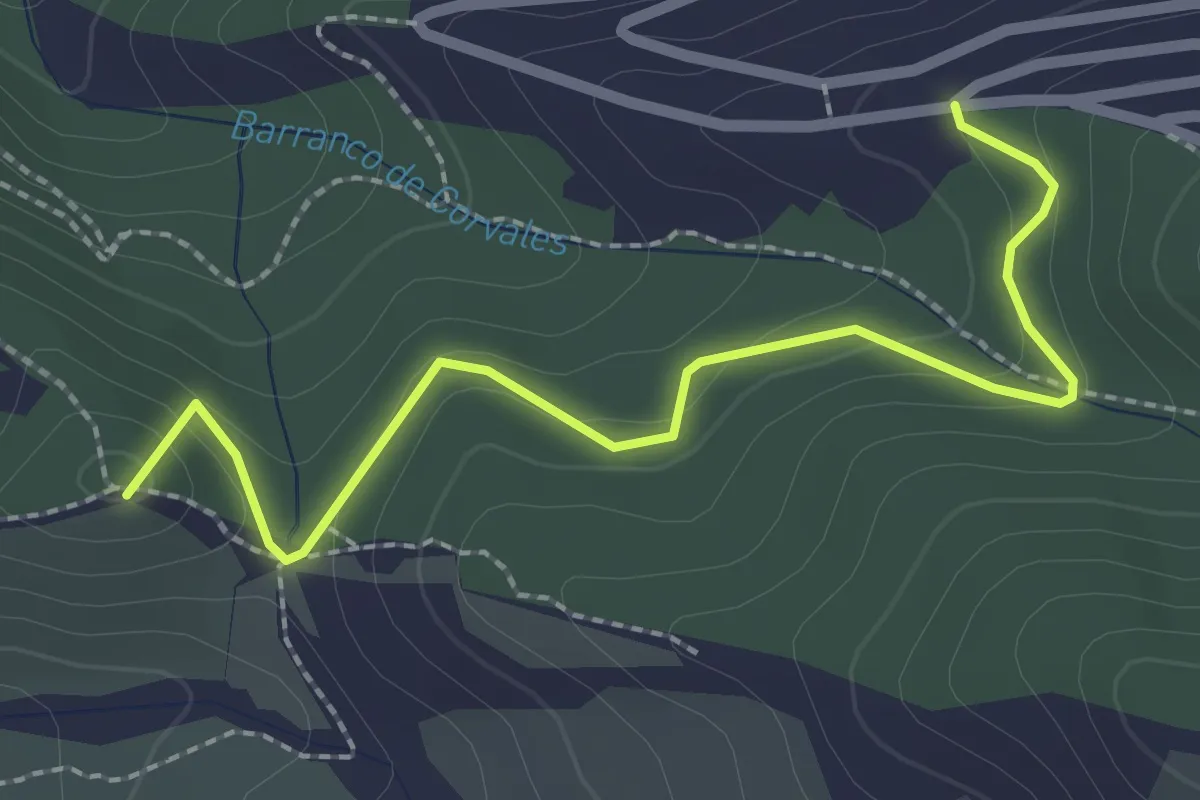
Easy · Summit
Sendero La Zubia - Cumbres Verdes
2.9 km · ↑ 132 m · 59 min
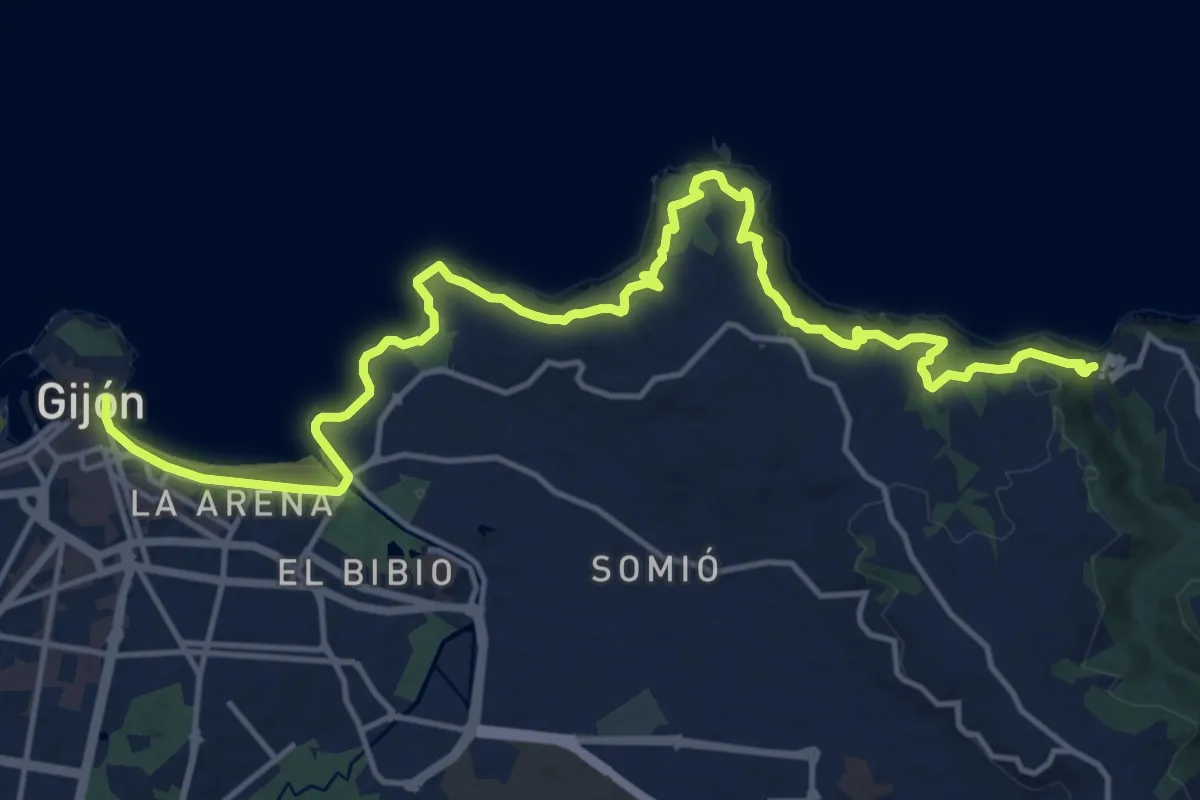
Demanding · Trail
Sendero litoral de la costa Este (peatonal)
20.5 km · ↑ 639 m · 6 h 13 min
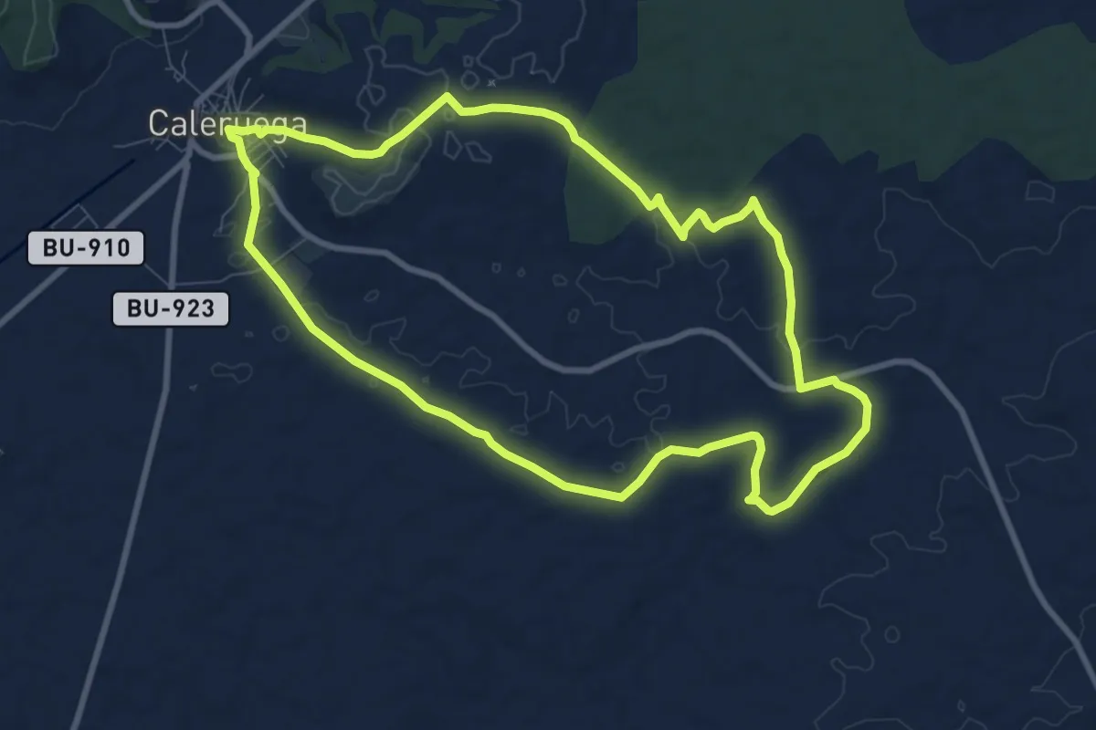
Medium · Trail
Sendero Loberas
9.6 km · ↑ 101 m · 2 h 38 min
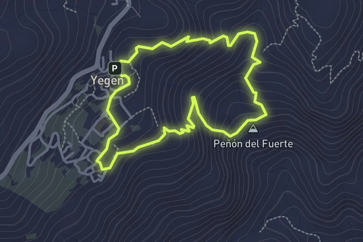
Easy · Summit
Sendero Local Gerald Brenan
2.9 km · ↑ 185 m · 1 h 7 min
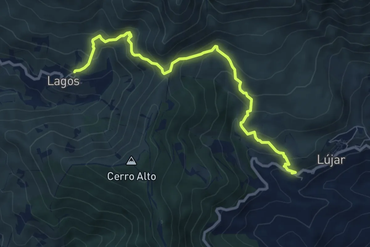
Medium · Trail
Sendero Lújar - Lagos
8.8 km · ↑ 675 m · 3 h 33 min
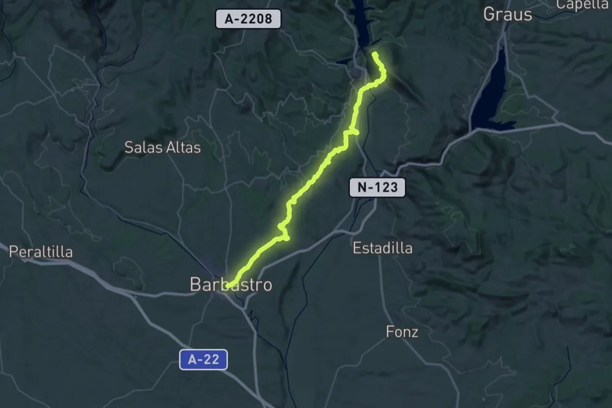
Demanding · Trail
Sendero Mariano
23.3 km · ↑ 797 m · 7 h 27 min
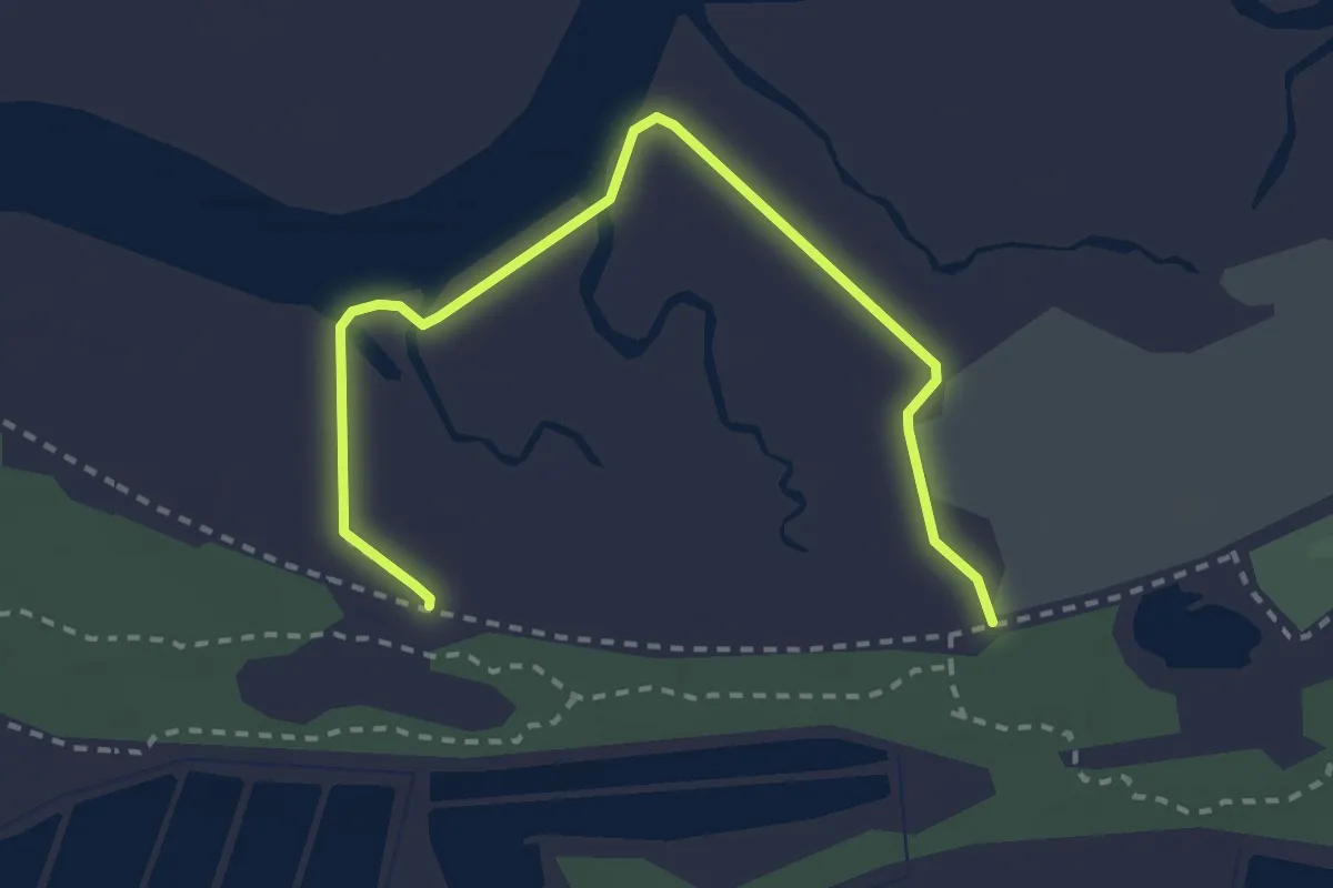
Easy · Trail
Sendero Marismas de San Miguel
3.5 km · ↑ 0 m · 49 min
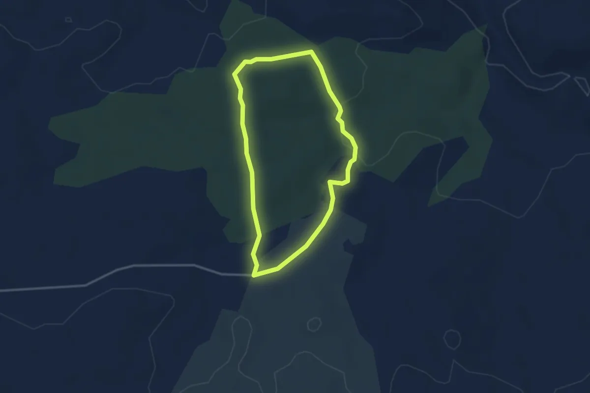
Easy · Trail
Sendero Melque
3.0 km · ↑ 40 m · 50 min
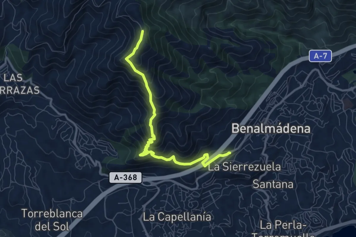
Medium · Trail
Sendero Mina de la Trinidad
9.5 km · ↑ 787 m · 3 h 56 min
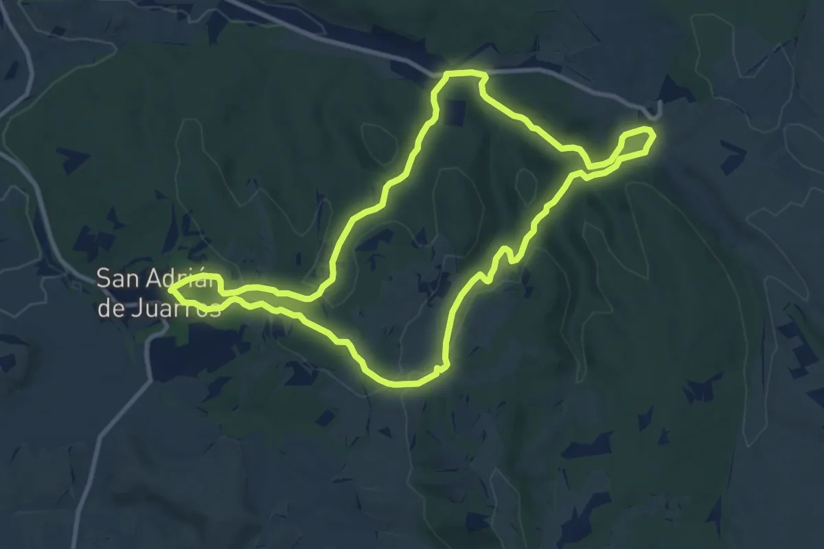
Medium · Trail
Sendero Minero de Juarros
10.4 km · ↑ 225 m · 3 h 5 min
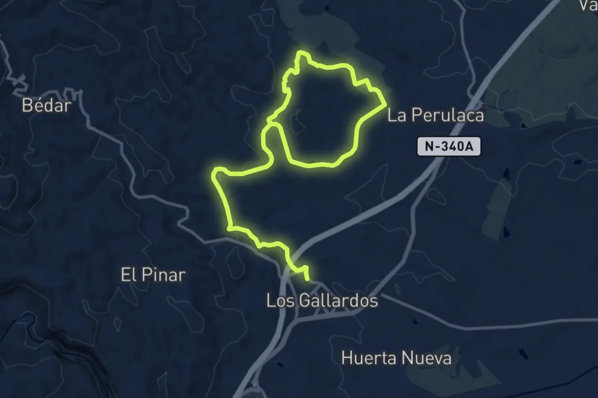
Medium · Summit
Sendero Minero Los Gallardos
9.0 km · ↑ 133 m · 2 h 35 min
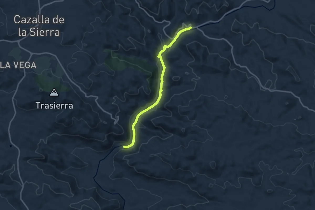
Medium · Trail
Sendero Molino del Corcho
9.7 km · ↑ 91 m · 2 h 30 min
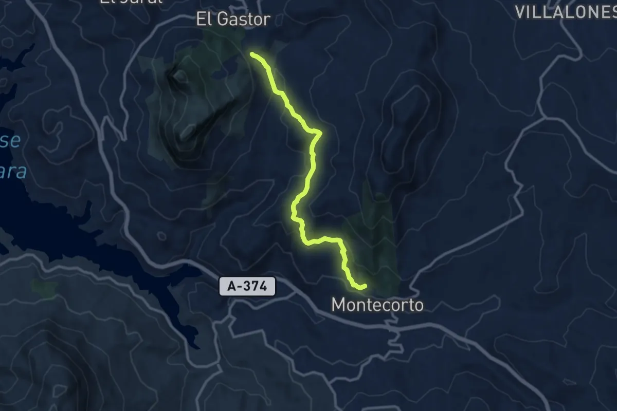
Medium · Trail
Sendero Montecorto - El Gastor
10.6 km · ↑ 419 m · 3 h 25 min
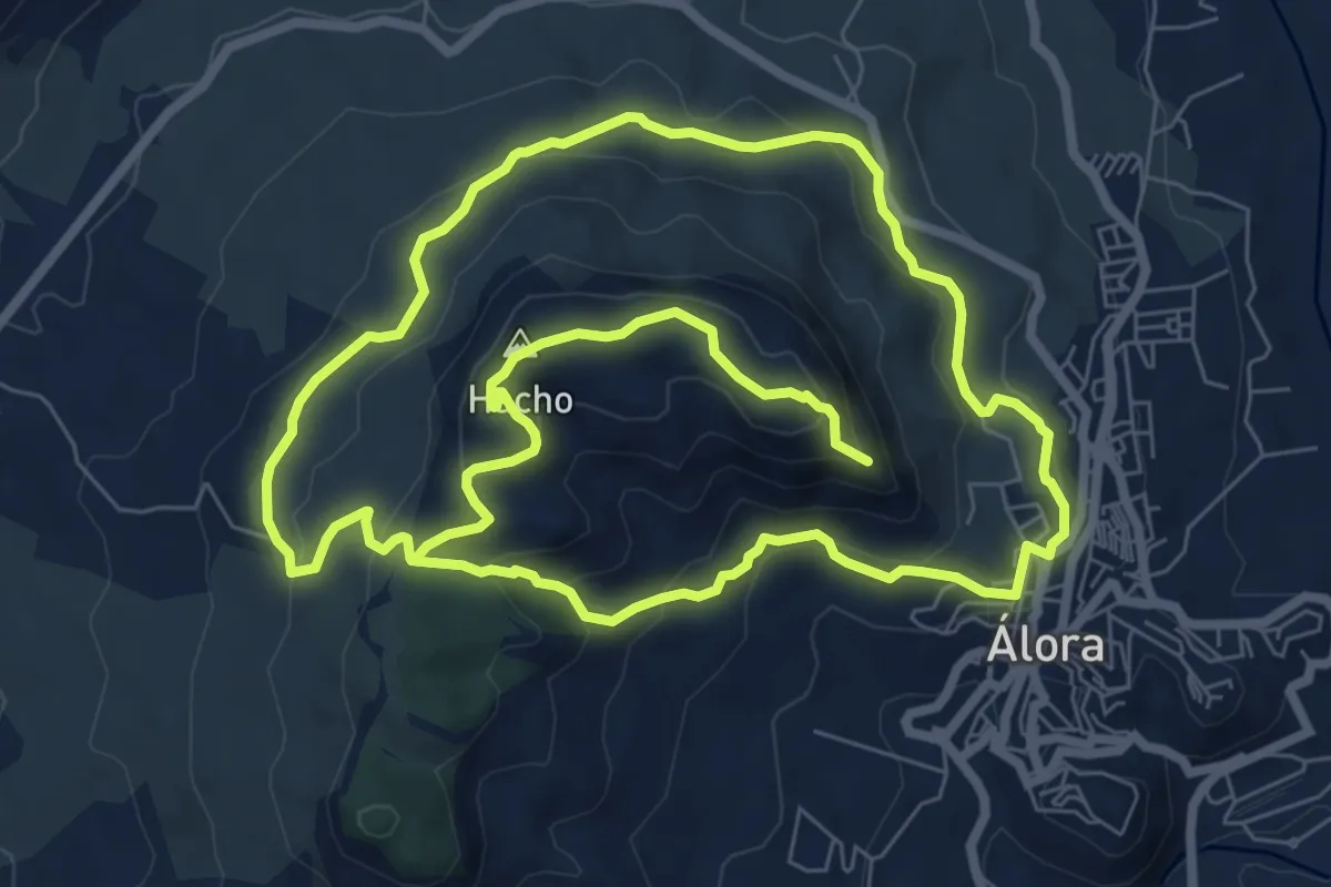
Medium · Summit
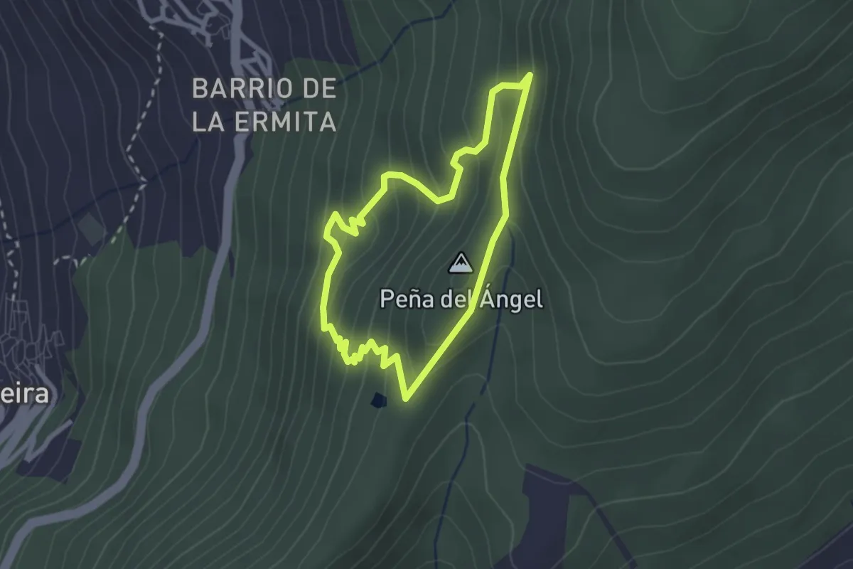
Sendero Monte Hacho
9.3 km · ↑ 416 m · 3 h 14 min
Easy · Summit
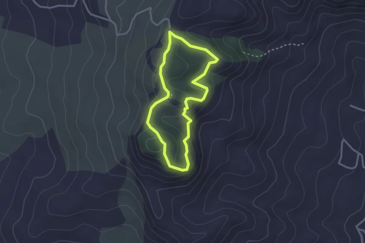
Sendero Monte Pecho "La Tala"
2.5 km · ↑ 197 m · 1 h 3 min
Medium · Trail
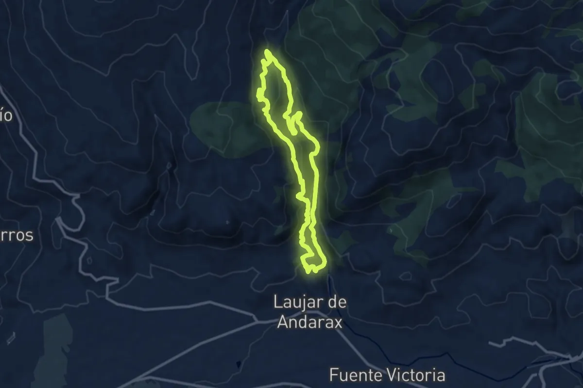
Sendero Monte Redondo
2.5 km · ↑ 108 m · 52 min
Medium · Trail
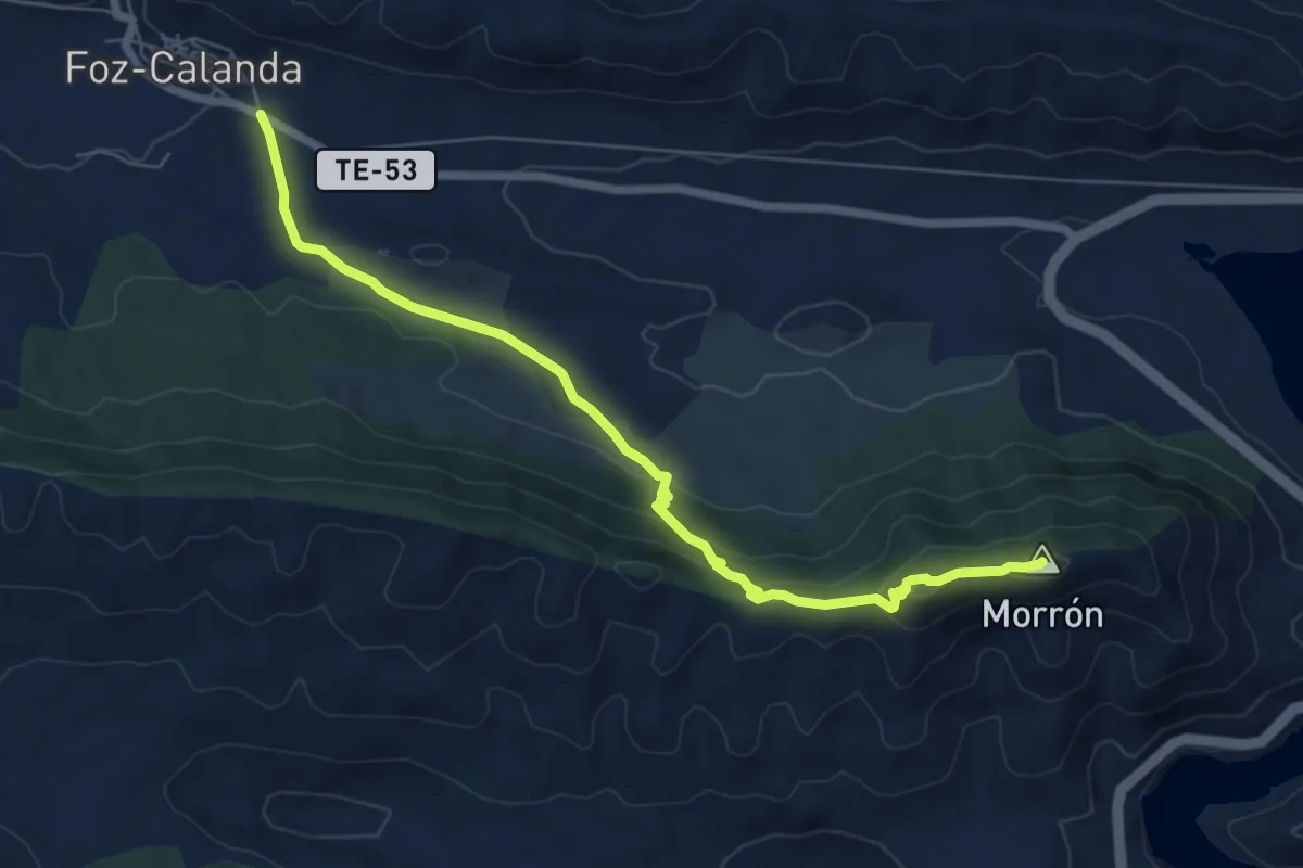
Sendero Monterrey
10.1 km · ↑ 497 m · 3 h 36 min
Easy · Summit
Sendero Monte Tolocha
7.8 km · ↑ 302 m · 2 h 30 min
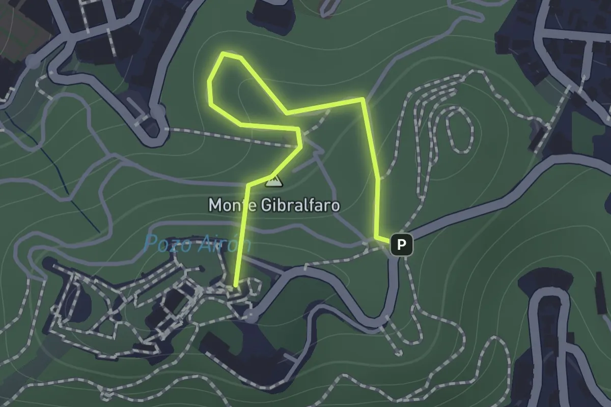
Easy · Summit
Sendero Mundo Nuevo
1.4 km · ↑ 103 m · 33 min
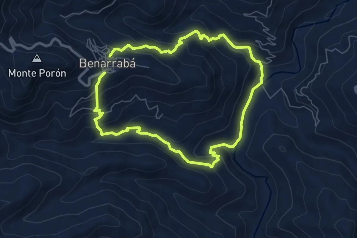
Medium · Trail
Sendero Ornitológico
5.8 km · ↑ 392 m · 2 h 17 min
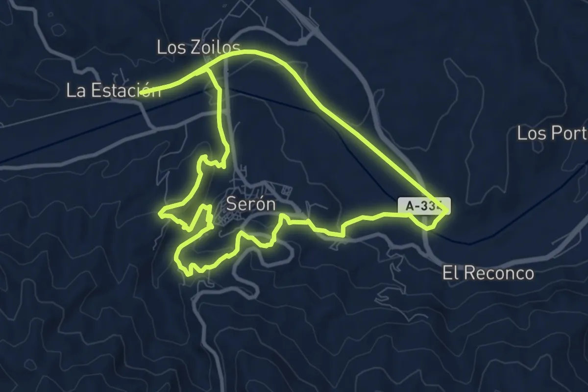
Medium · Trail
Sendero Panorámico de Serón
9.4 km · ↑ 251 m · 2 h 53 min
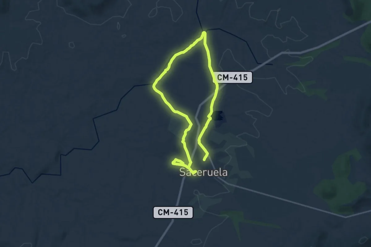
Medium · Trail
Sendero Pantano-Charco Las Parras. Campo de Aviación
12.6 km · ↑ 125 m · 3 h 25 min
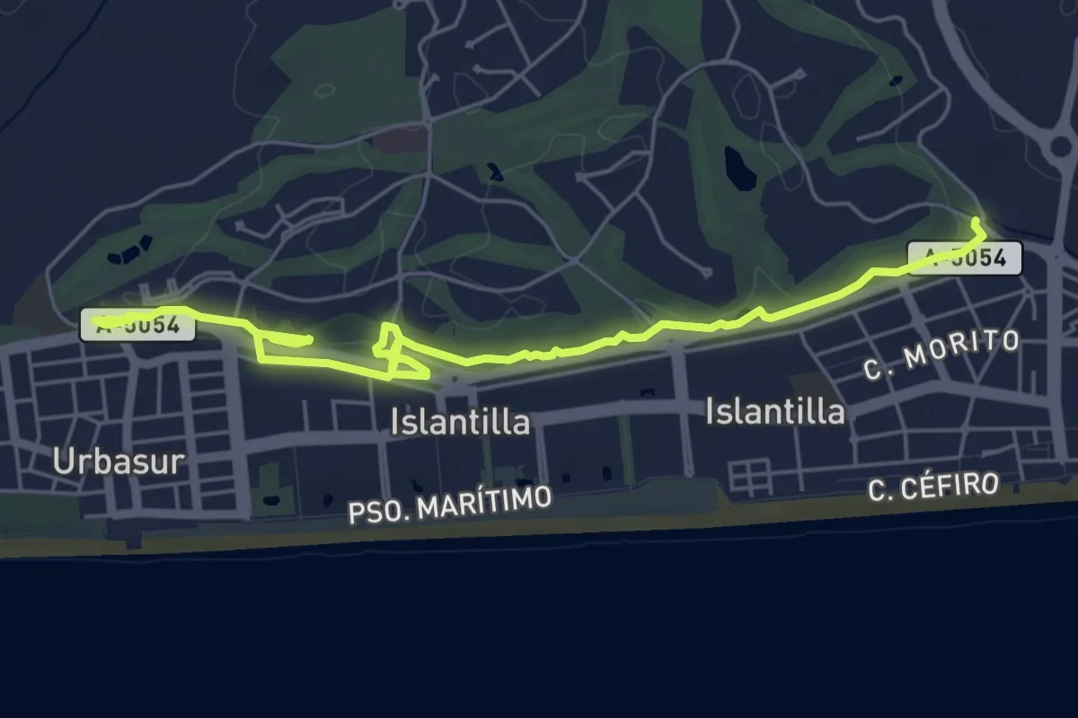
Easy · Trail
Sendero Parque de los Cabezos
7.6 km · ↑ 79 m · 1 h 57 min
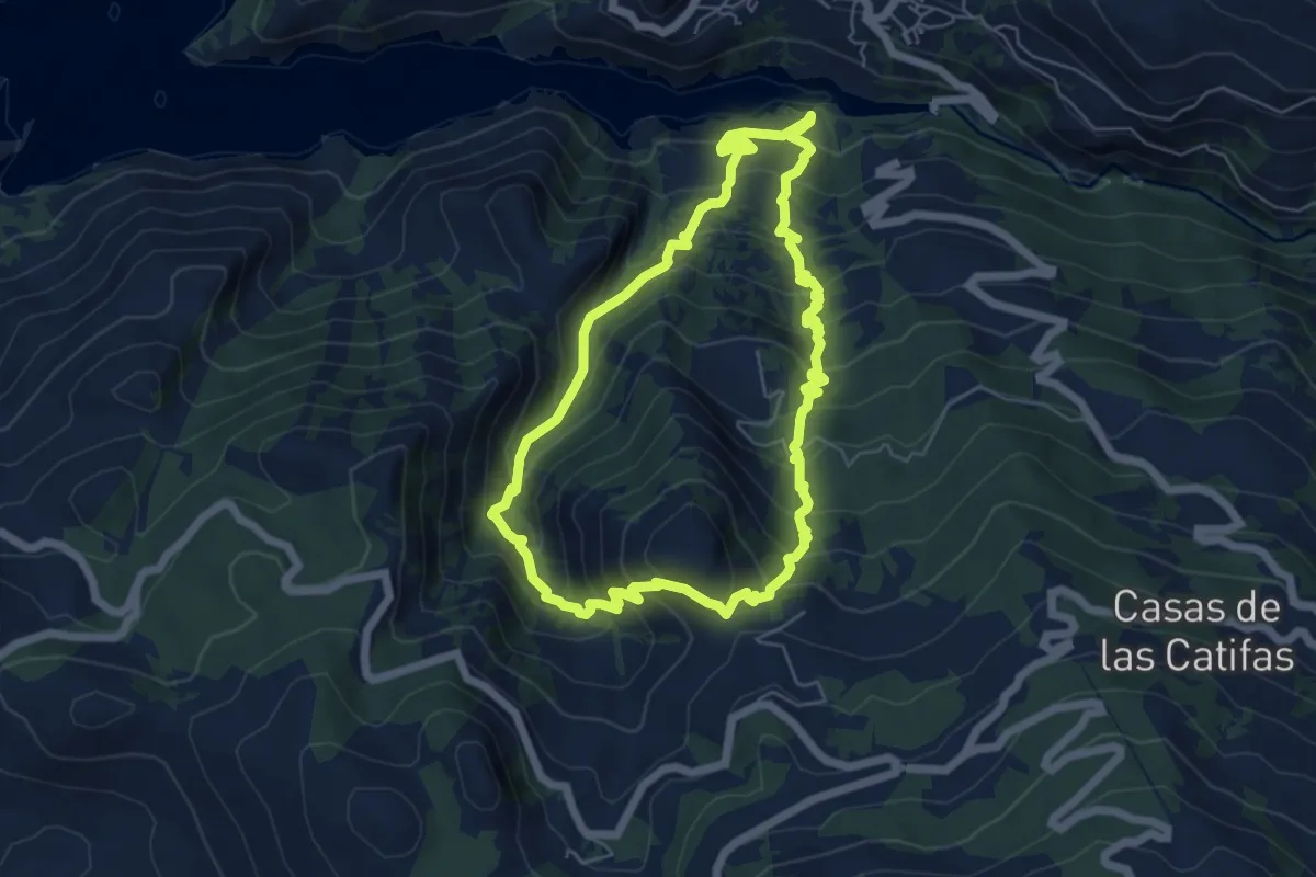
Demanding · Summit
Sendero "Paso de los Viajeros Románticos"
6.5 km · ↑ 632 m · 2 h 59 min
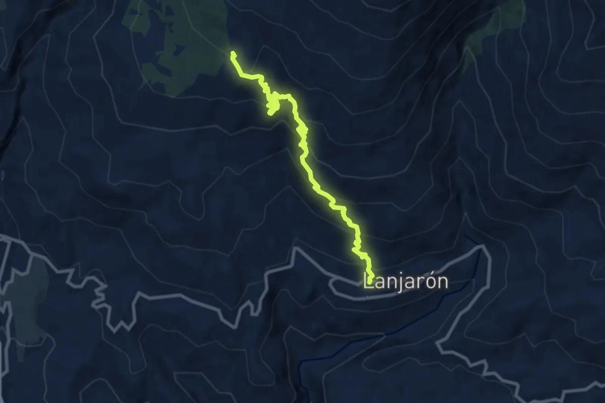
Medium · Cabin
Sendero Pedro Calvo
9.4 km · ↑ 709 m · 3 h 45 min
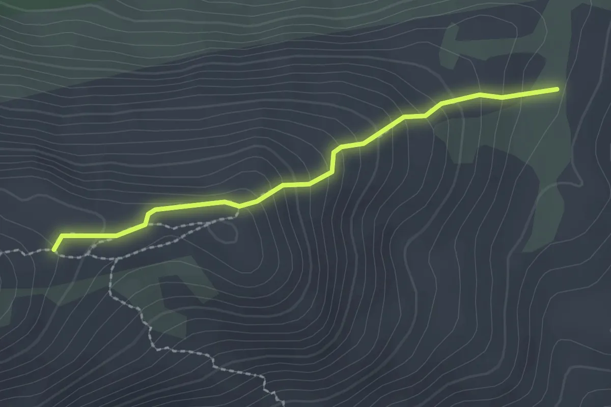
Medium · Trail
Sendero Peñas Sordas
2.3 km · ↑ 197 m · 58 min
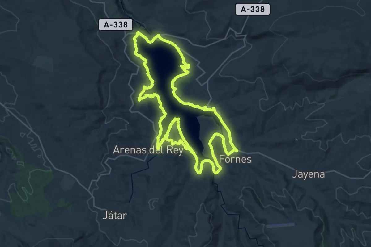
Demanding · Trail
Sendero perimetral del Pantano de los Bermejales
27.1 km · ↑ 370 m · 7 h 35 min
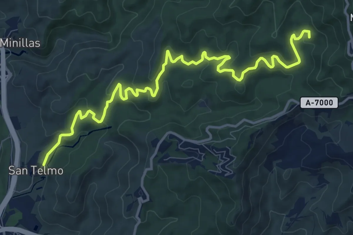
Medium · Trail
Sendero Picapedrero-Boticario
13.1 km · ↑ 600 m · 4 h 24 min
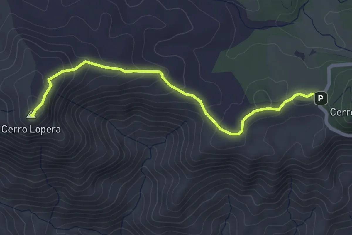
Easy · Summit
Sendero Pico de Lopera
5.1 km · ↑ 236 m · 1 h 43 min
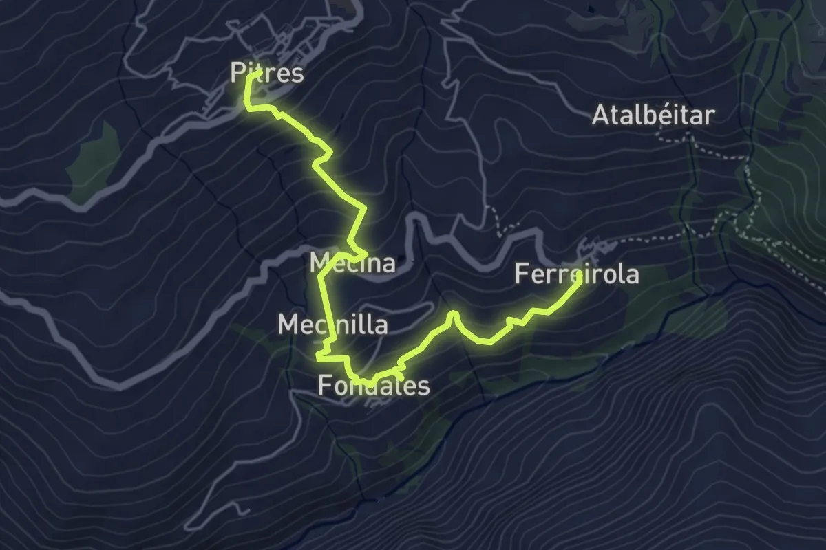
Medium · Trail
Sendero Pitres-Ferreirola
6.0 km · ↑ 432 m · 2 h 21 min
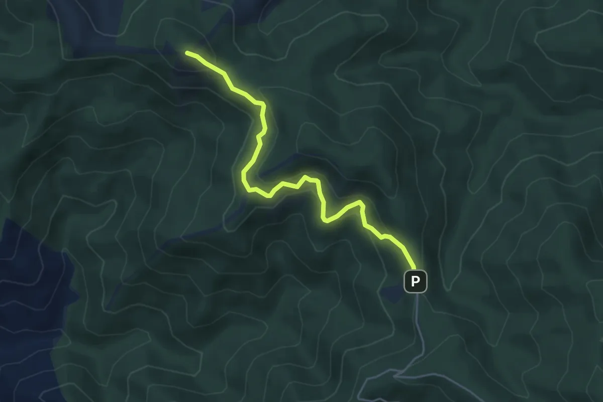
Medium · Trail
Sendero Pocopán
5.2 km · ↑ 343 m · 1 h 58 min
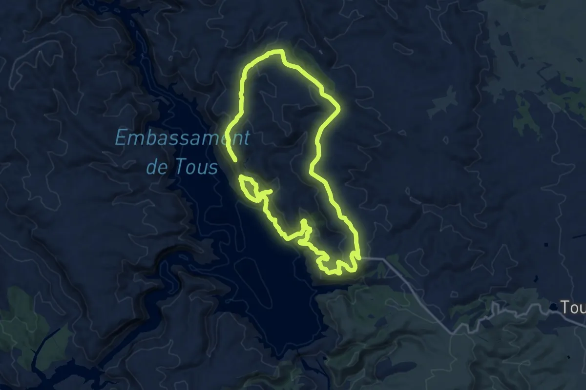
Demanding · Summit
Sendero Pollet - Terrabona
30.0 km · ↑ 1033 m · 9 h 19 min
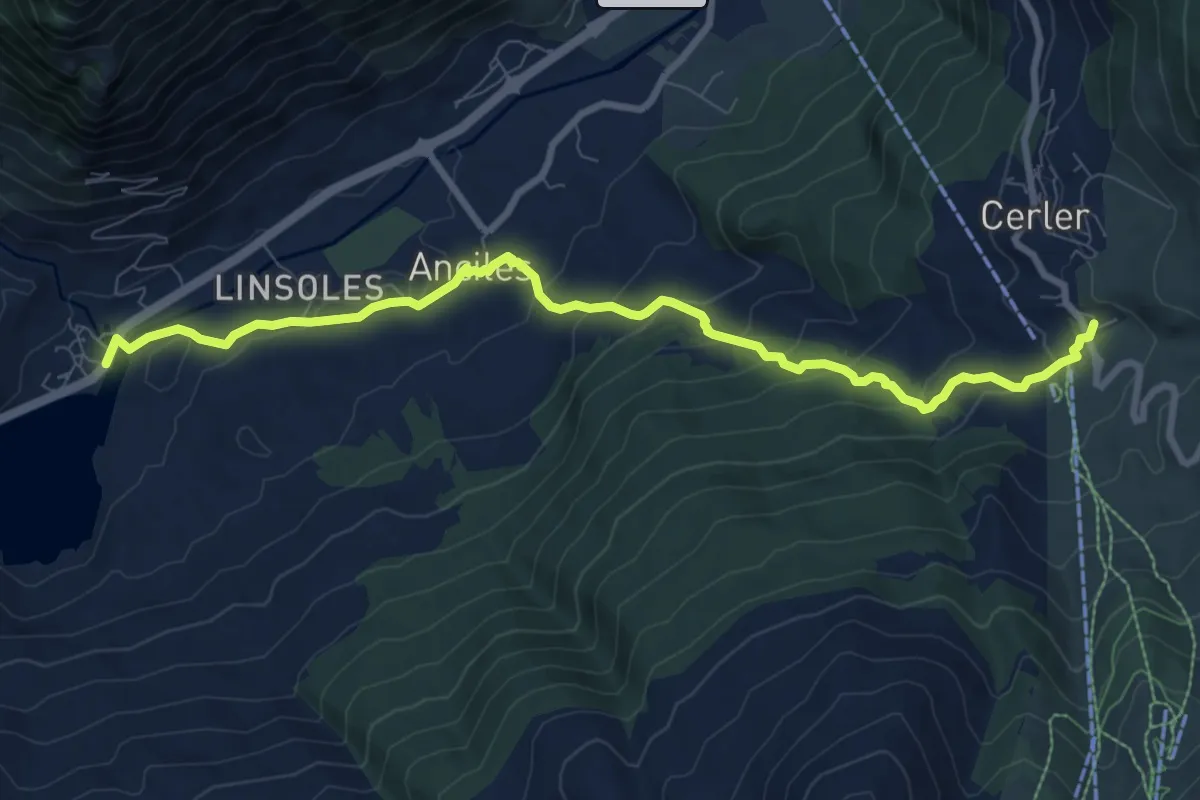
Medium · Trail
Sendero Praus de Cases
10.1 km · ↑ 474 m · 3 h 25 min
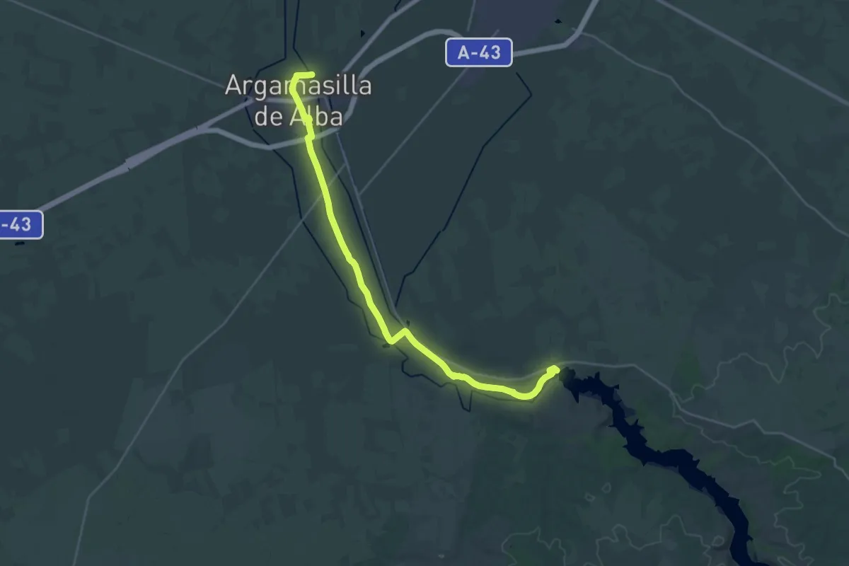
Demanding · Trail
Sendero Priorato de San Juan
29.5 km · ↑ 87 m · 7 h 9 min
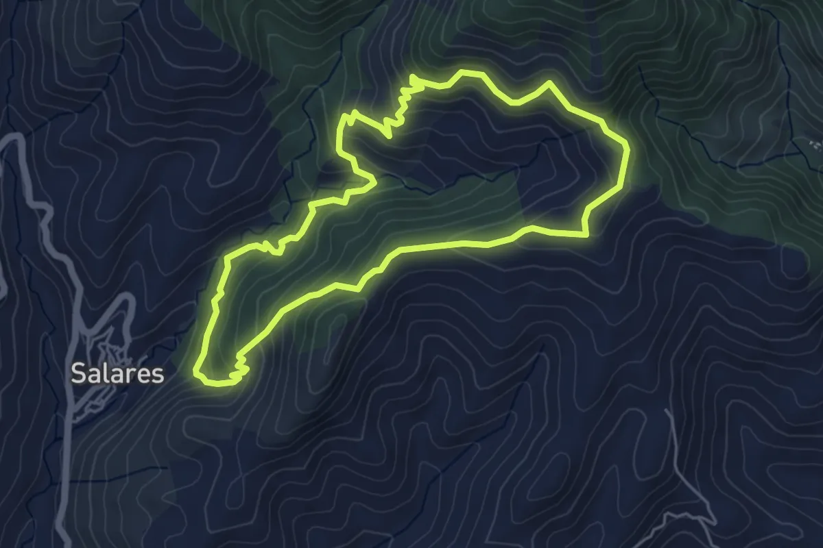
Easy · Summit
Sendero Puente Árabe
5.4 km · ↑ 300 m · 2 h
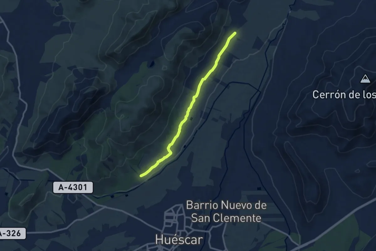
Medium · Trail
Sendero Puente Roque - Estación Tratamiento Agua Potable
9.8 km · ↑ 42 m · 2 h 24 min
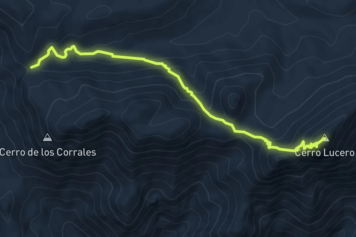
Demanding · Summit
Sendero Puerto Blanquillo - Cerro Lucero
7.9 km · ↑ 506 m · 2 h 58 min
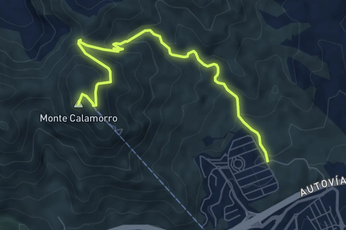
Medium · Summit
Sendero Puerto de las Ovejas - Calamorro
8.1 km · ↑ 518 m · 3 h 2 min
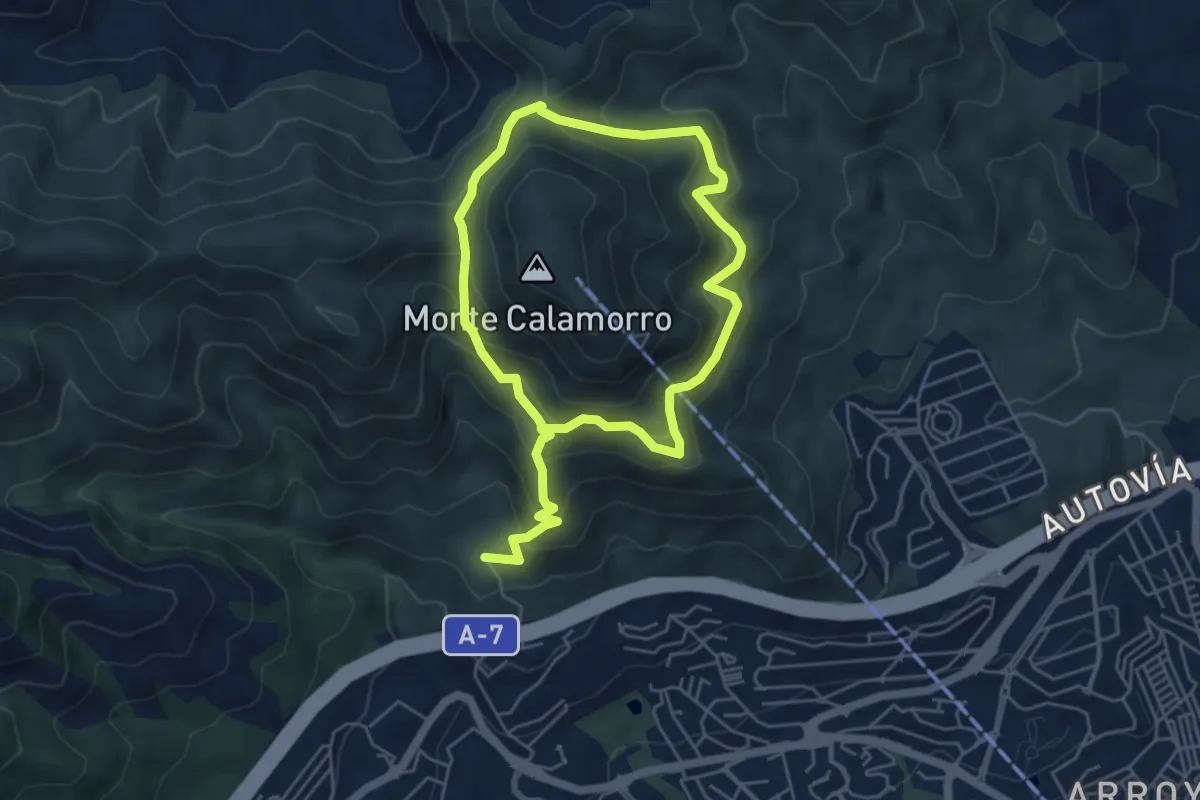
Demanding · Trail
Sendero Puerto Viejo
10.0 km · ↑ 839 m · 4 h 10 min
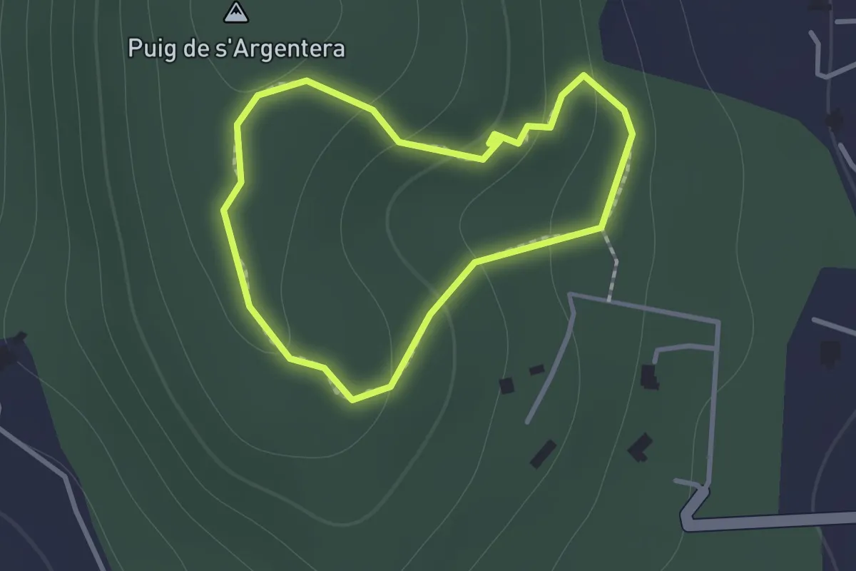
Medium · Summit
Sendero Puig de S'Argentera
1.1 km · ↑ 58 m · 24 min
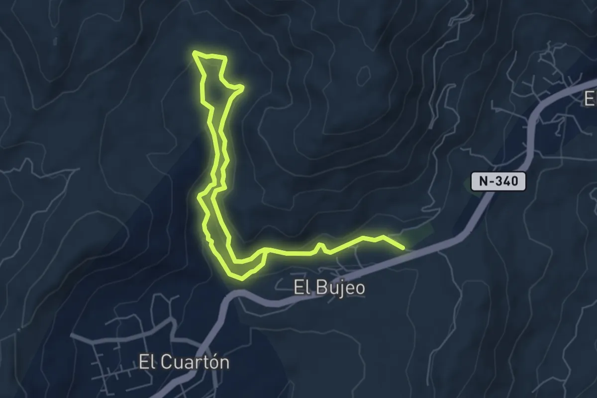
Easy · Trail
Sendero Río Guadalmesí
5.4 km · ↑ 155 m · 1 h 42 min
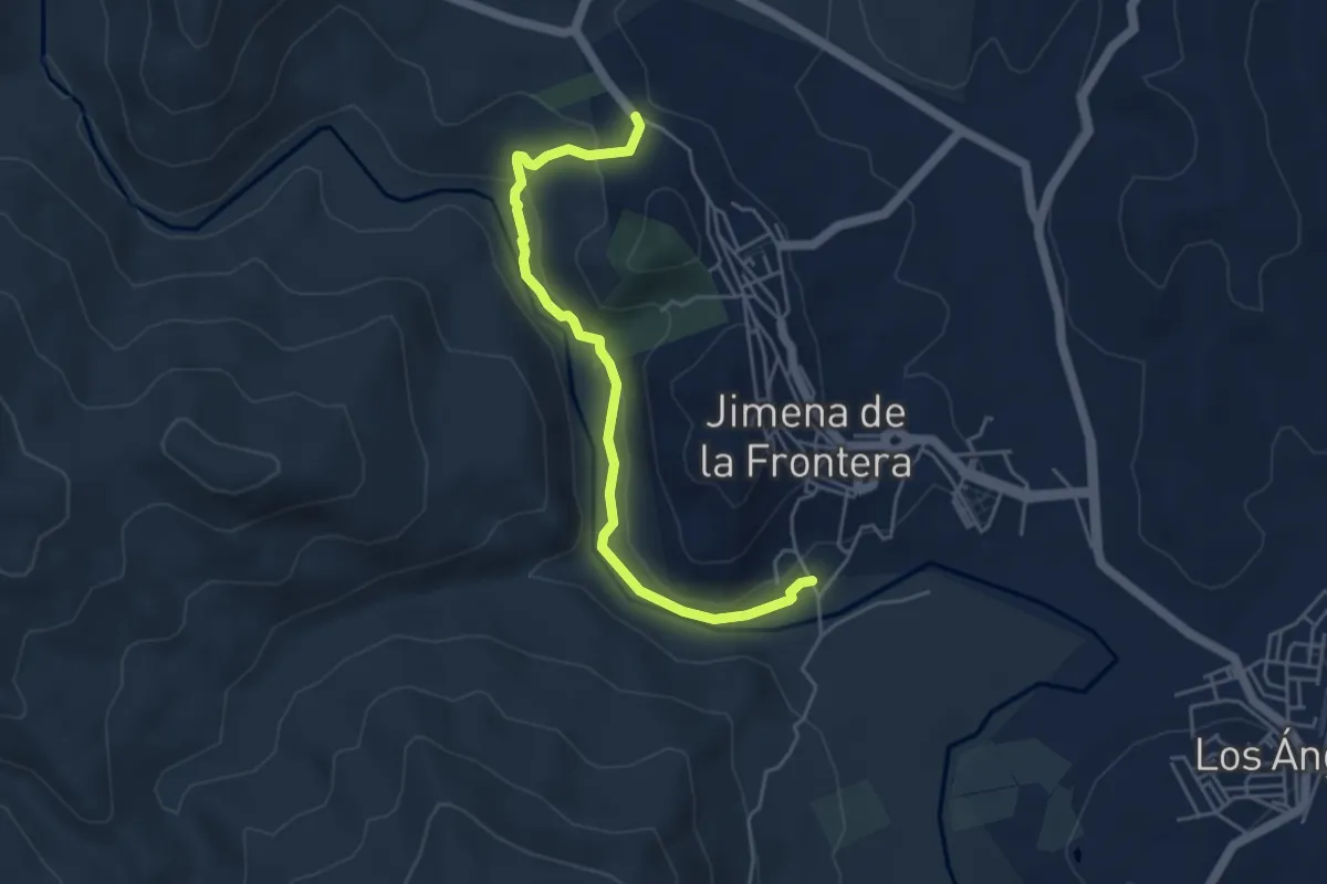
Easy · Trail
Sendero Río Hozgarganta
5.5 km · ↑ 127 m · 1 h 35 min
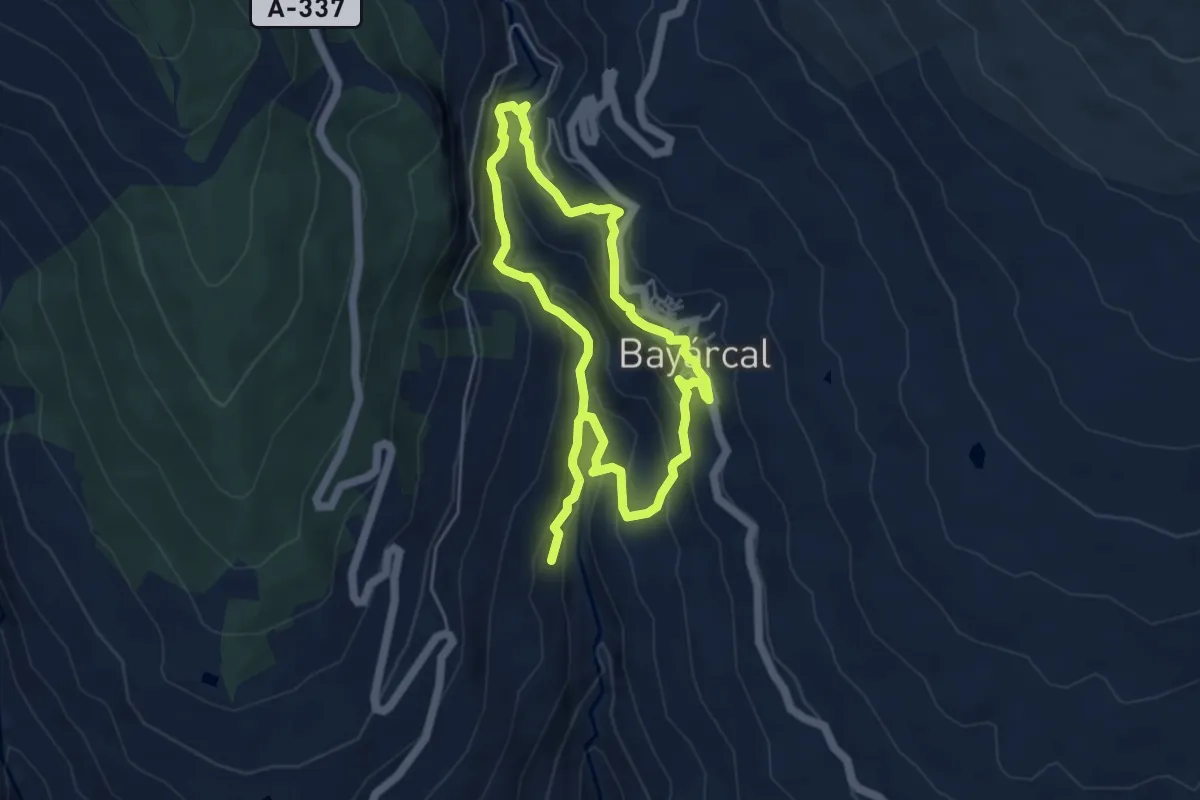
Easy · Trail
Sendero Río Molinos
4.8 km · ↑ 303 m · 1 h 52 min
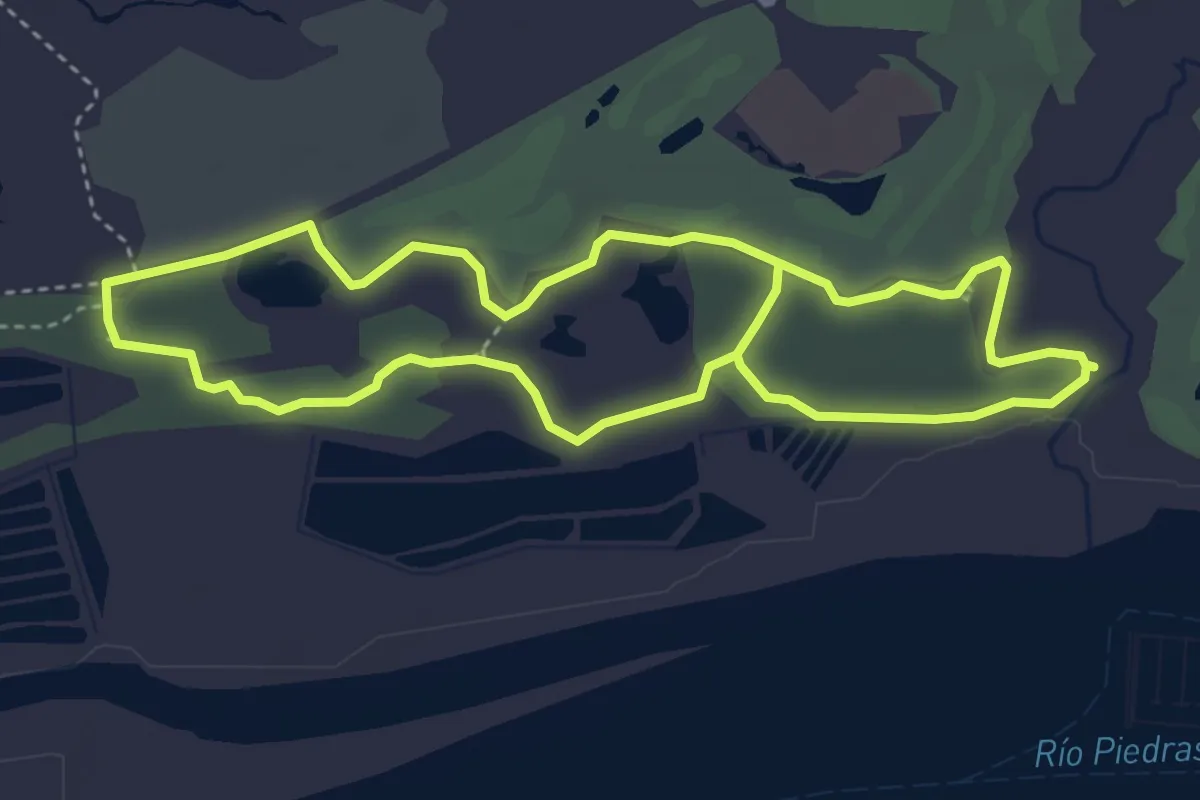
Easy · Trail
Sendero Río Piedras
4.5 km · ↑ 9 m · 1 h 8 min
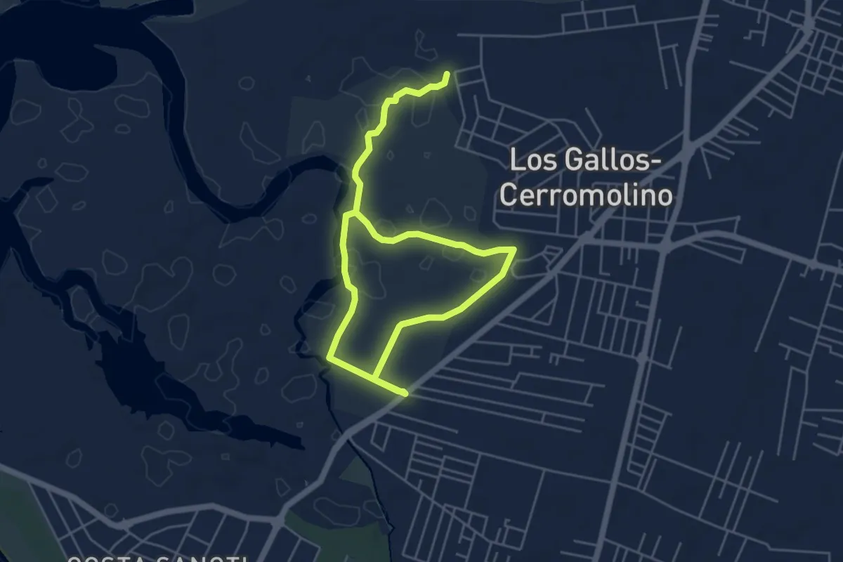
Easy · Trail
Sendero Salina de Carboneros
4.3 km · ↑ 9 m · 1 h 5 min
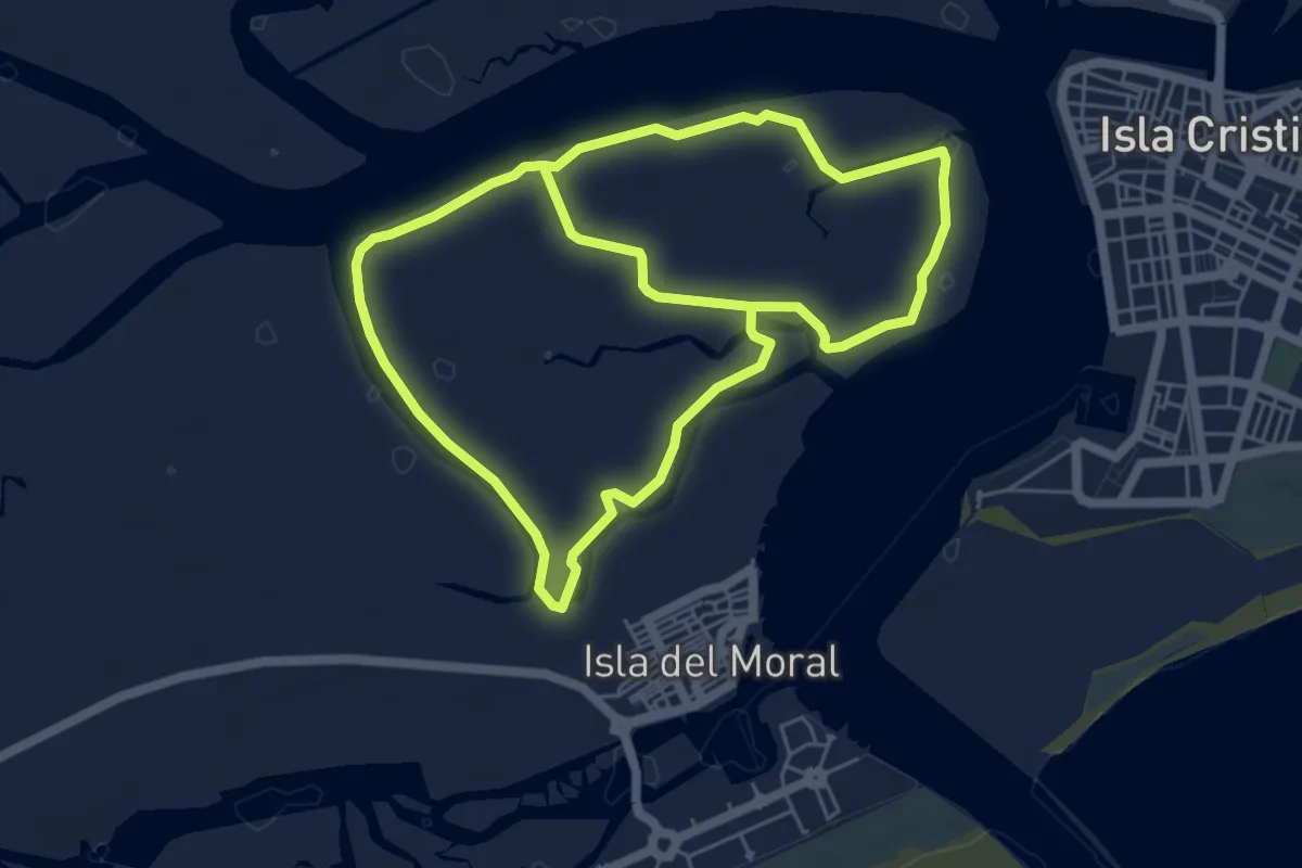
Medium · Trail
Sendero Salinas del Duque
13.1 km · ↑ 0 m · 3 h 6 min