Trails in Spain
5,963 hiking trails, each with its route, climb, walking time and grade.
All trails, page 12 of 125
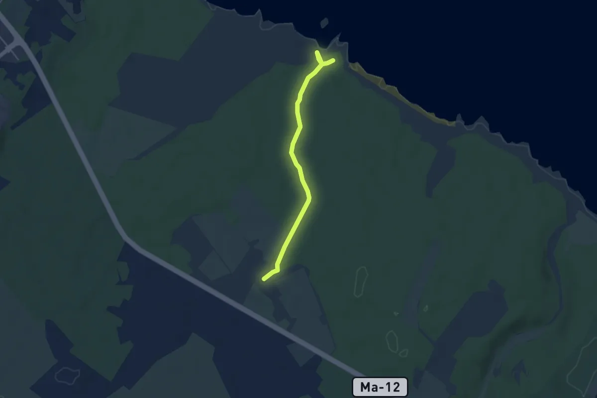
Easy · Cabin
Camí de s'Illot des Porros - refugi
4.2 km · ↑ 27 m · 1 h 4 min
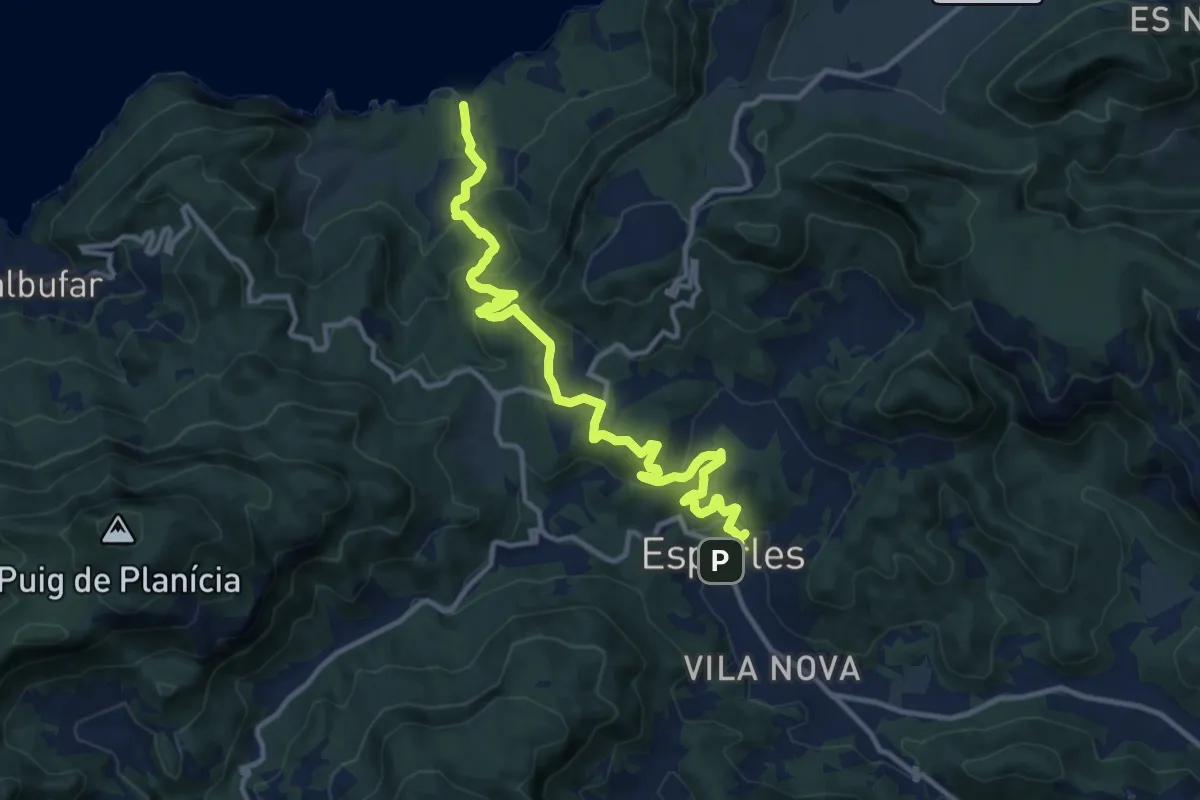
Medium · Trail
Camí des Pescadors
15.5 km · ↑ 601 m · 4 h 58 min
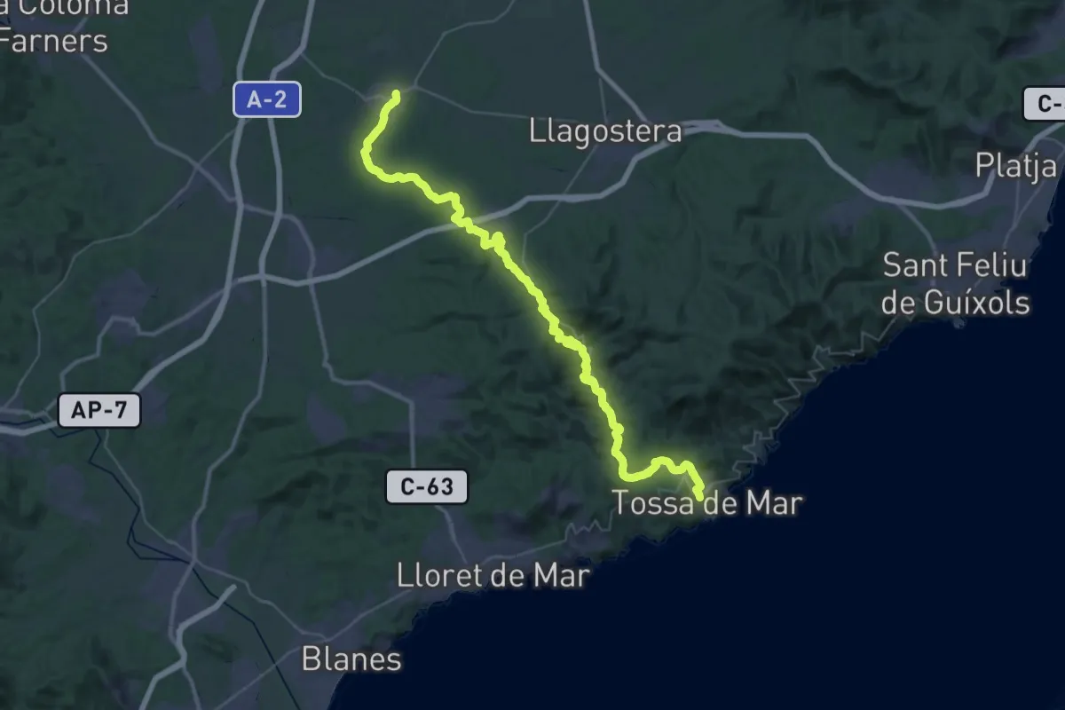
Demanding · Trail
Camí de Terranegra
25.1 km · ↑ 476 m · 7 h 16 min
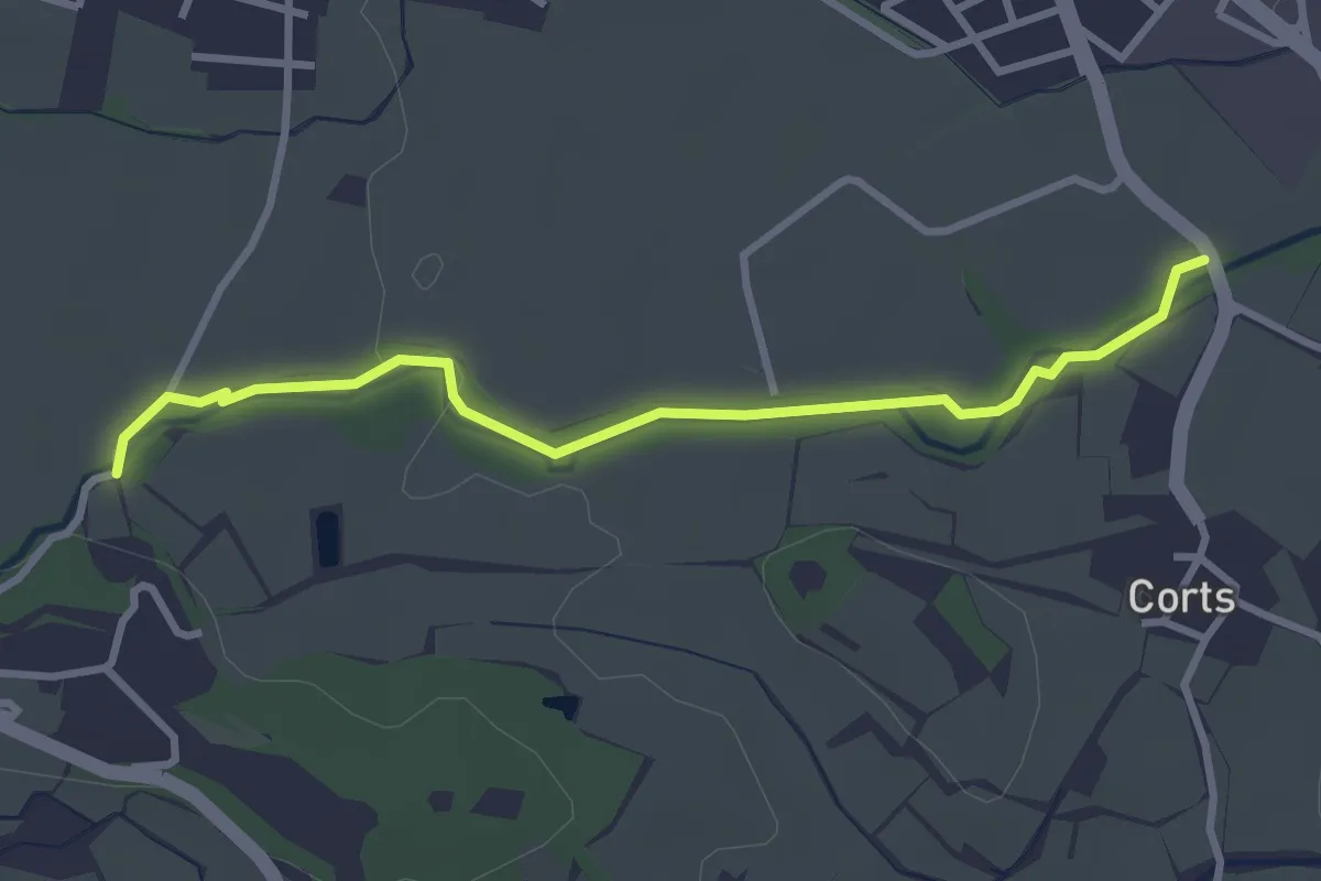
Easy · Trail
Camí de tornada a l’escola
3.4 km · ↑ 30 m · 52 min
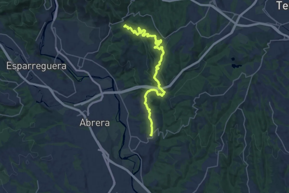
Demanding · Summit
Camí de Vilalba
20.6 km · ↑ 667 m · 6 h 19 min
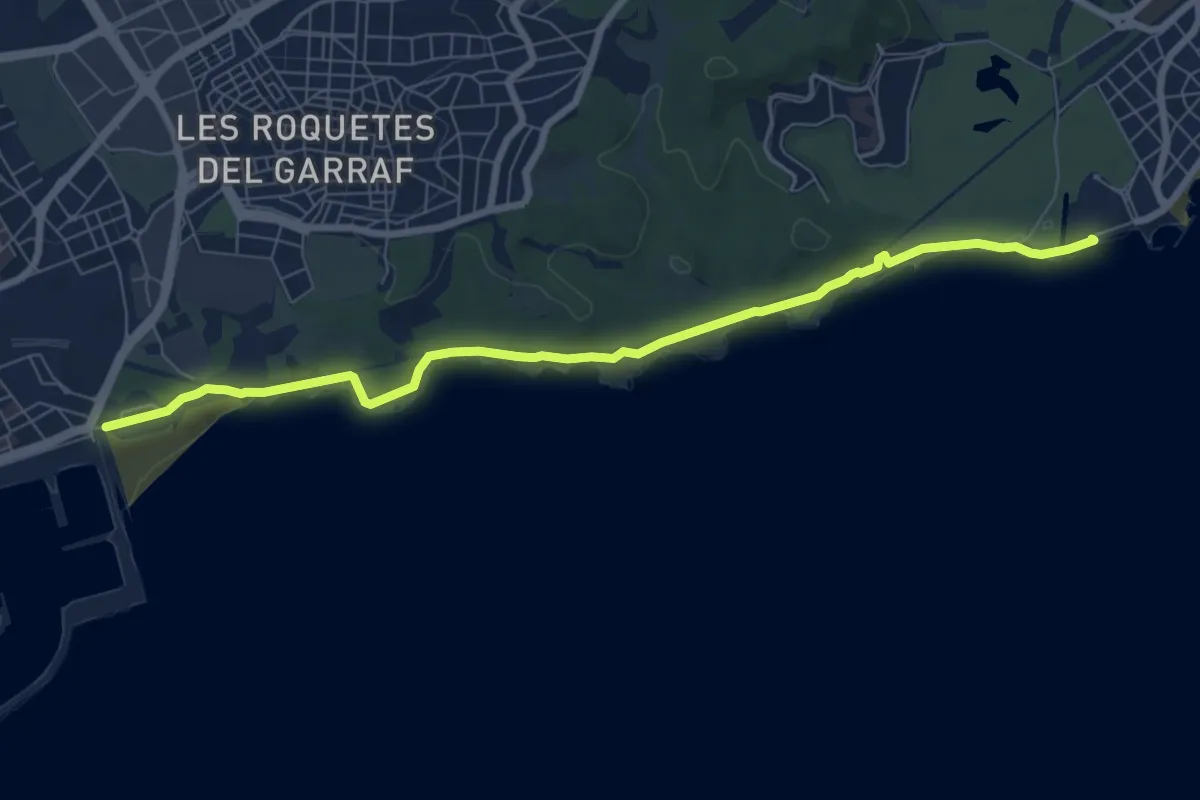
Medium · Trail
Camí de Vilanova a Sitges
8.9 km · ↑ 54 m · 2 h 13 min
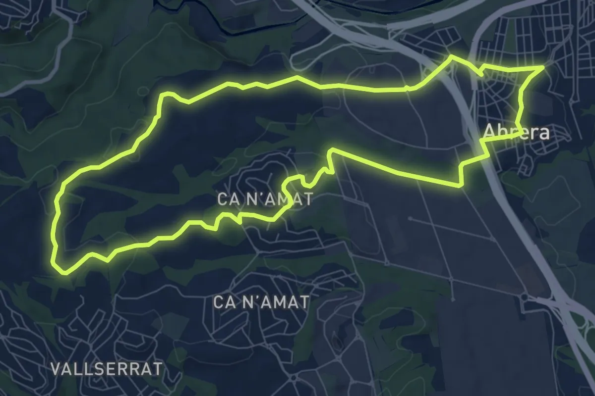
Medium · Trail
Camí històric d'Abrera
9.8 km · ↑ 130 m · 2 h 43 min
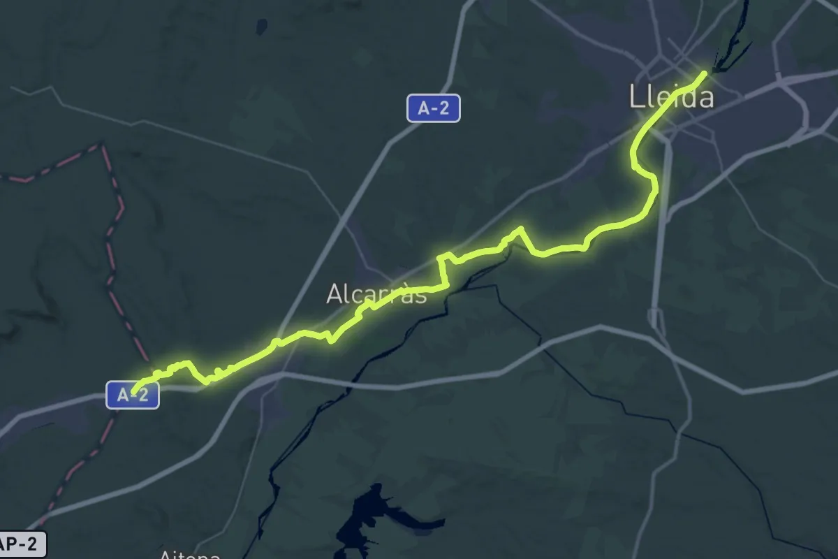
Demanding · Trail
Camí Ignasià Català 1: Soses - Lleida
25.3 km · ↑ 139 m · 6 h 38 min
Demanding · Trail
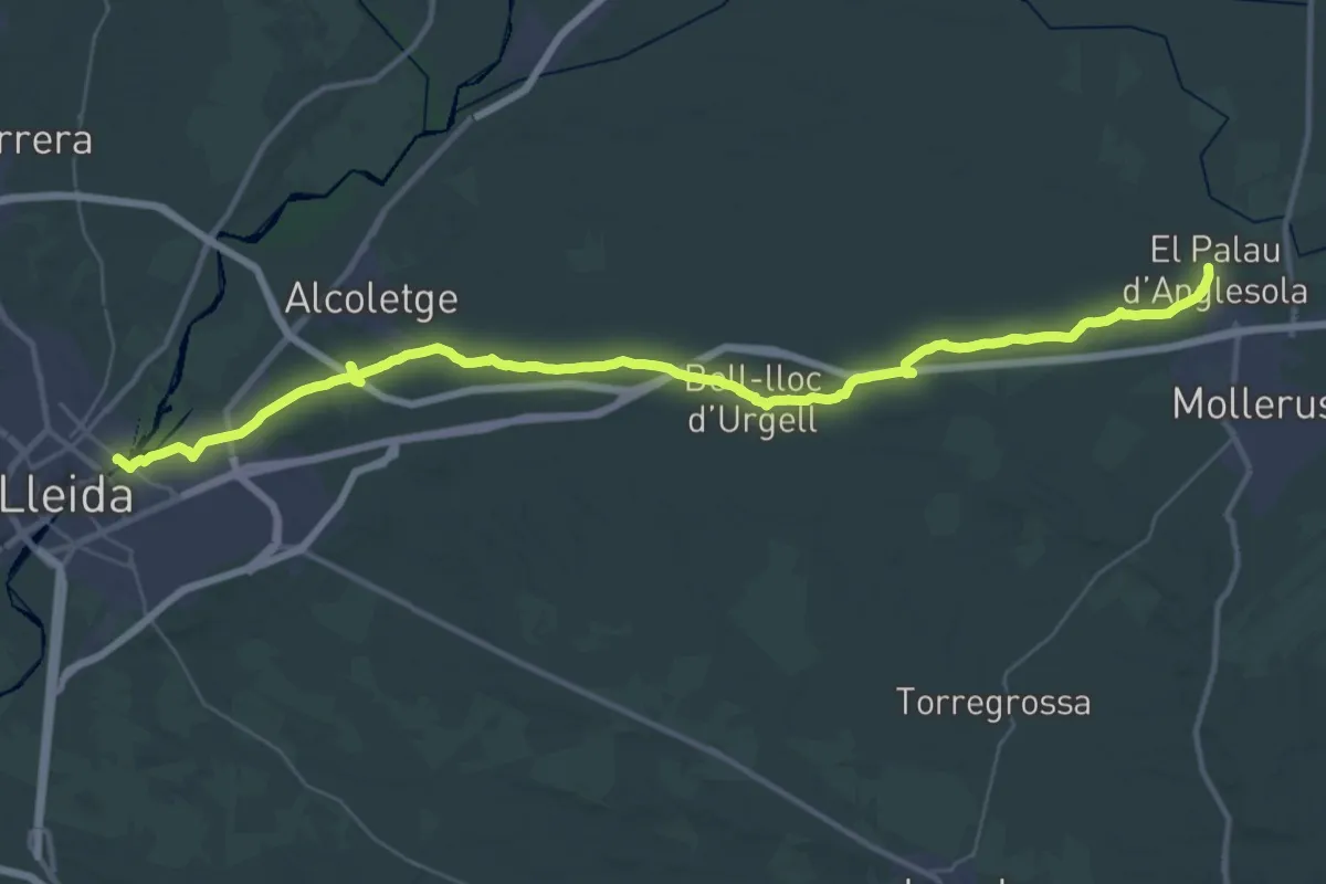
Camí Ignasià Català 2: Lleida - Palau d'Anglesola
23.5 km · ↑ 53 m · 6 h 2 min
Demanding · Trail
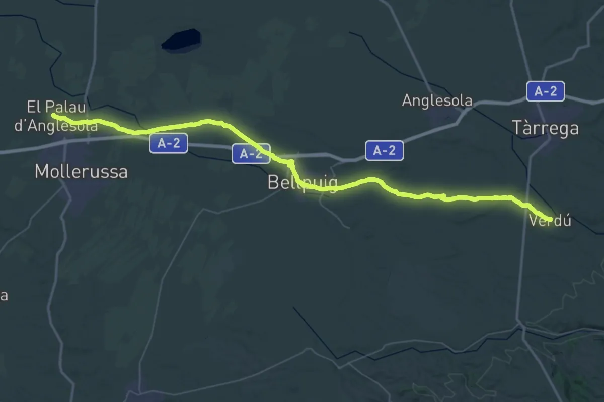
Camí Ignasià Català 3: Palau d'Anglesola - Verdú
25.0 km · ↑ 248 m · 6 h 41 min
Medium · Trail
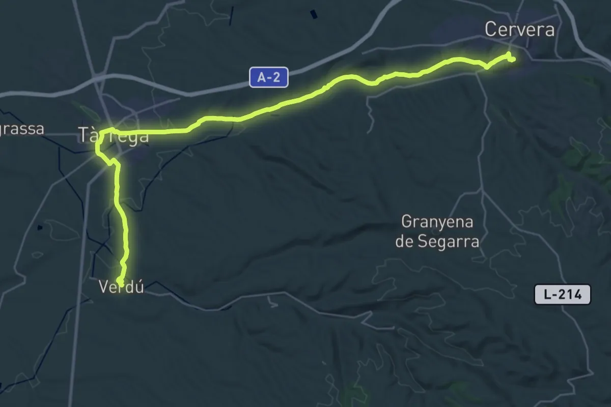
Camí Ignasià Català 4: Verdú - Cervera
17.2 km · ↑ 260 m · 4 h 48 min
Demanding · Trail
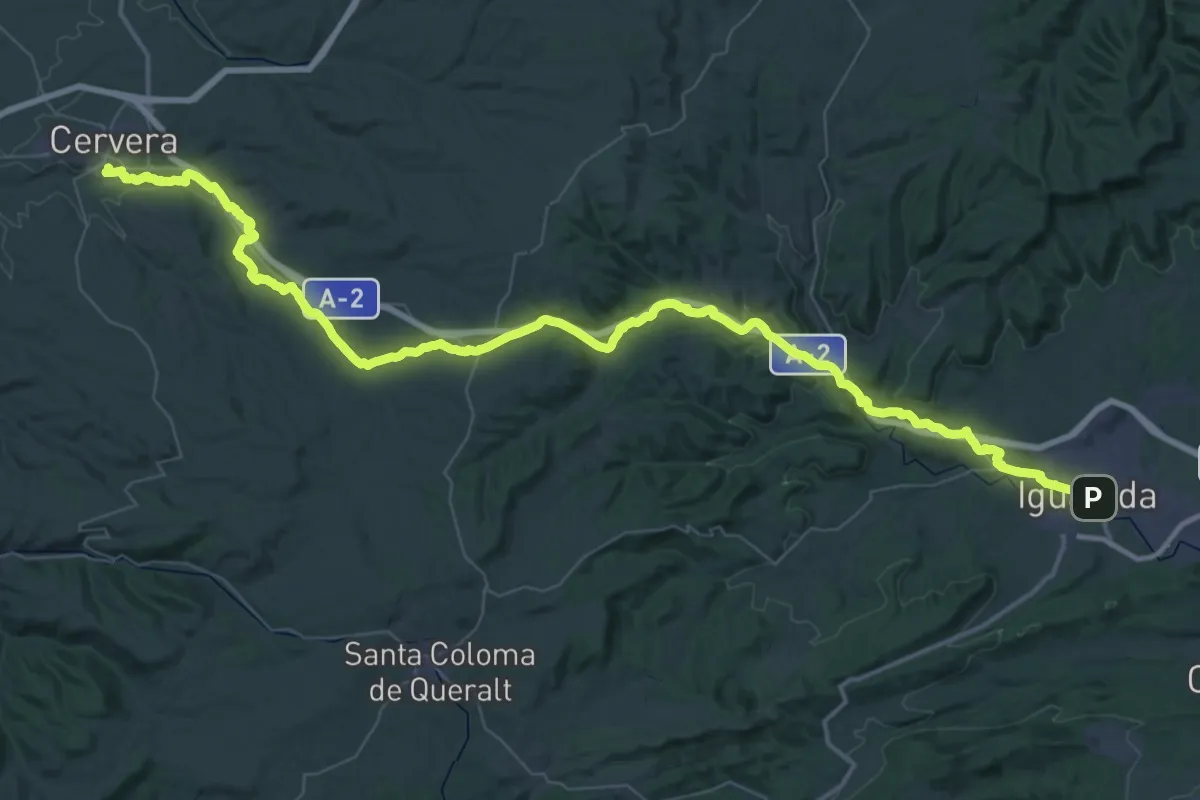
Camí Ignasià Català 5: Cervera - Igualada
39.2 km · ↑ 607 m · 11 h 1 min
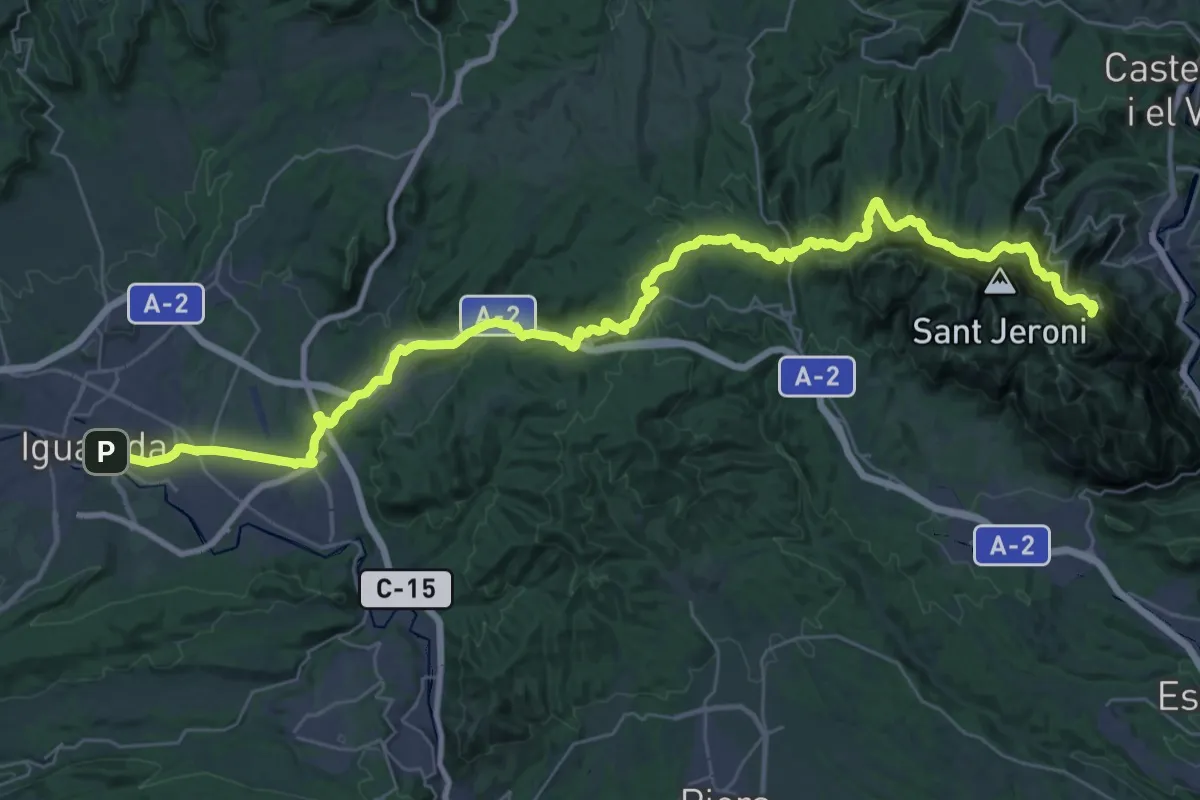
Expert · Summit
Camí Ignasià Català 6: Igualada - Montserrat
49.1 km · ↑ 1716 m · 15 h 19 min
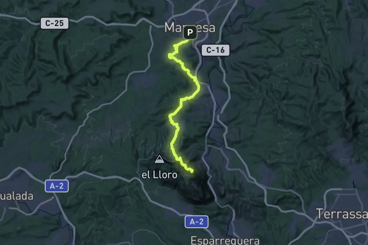
Expert · Summit
Camí Ignasià Català 7: Montserrat - Manresa
46.8 km · ↑ 1645 m · 14 h 37 min
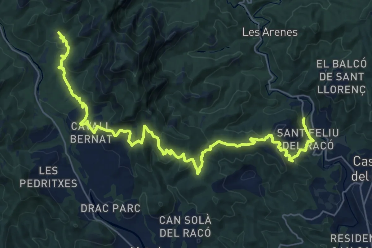
Medium · Trail
Camí Moliner
13.1 km · ↑ 288 m · 4 h 5 min
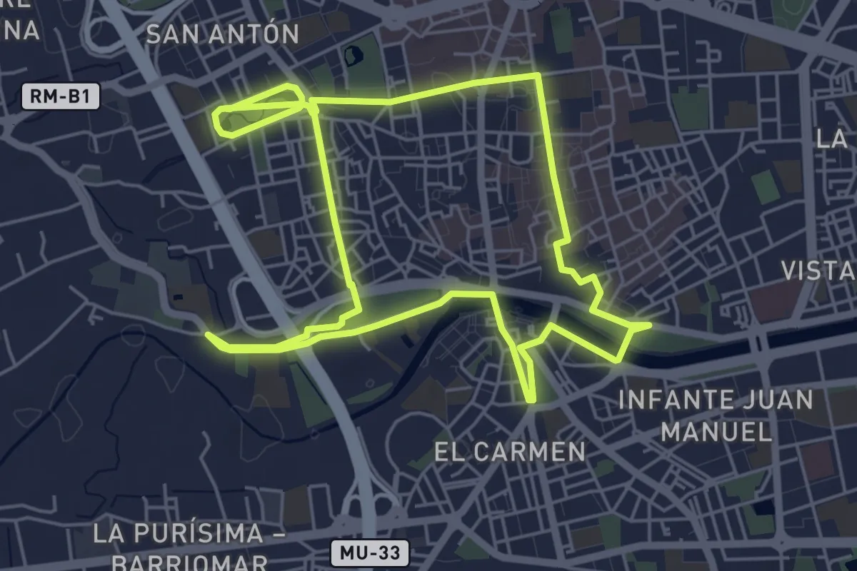
Medium · Trail
Camina 10000 Pasos
12.7 km · ↑ 66 m · 3 h 8 min
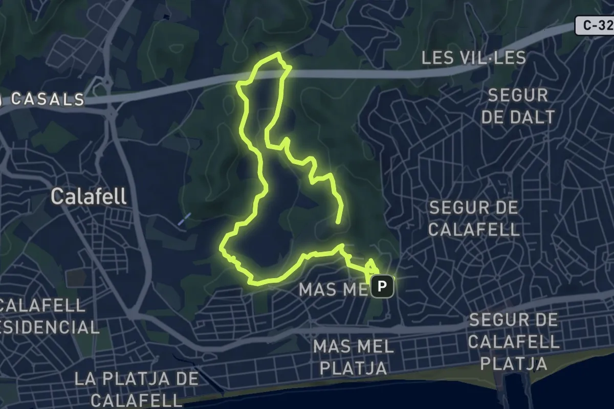
Medium · Summit
Camina que coneixeràs - De la Coma Farella al Mas de l'Espasa
13.0 km · ↑ 339 m · 3 h 48 min
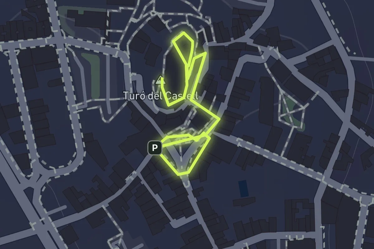
Easy · Summit
Camina que coneixeràs - El nucli històric de Calafell
1.1 km · ↑ 0 m · 15 min
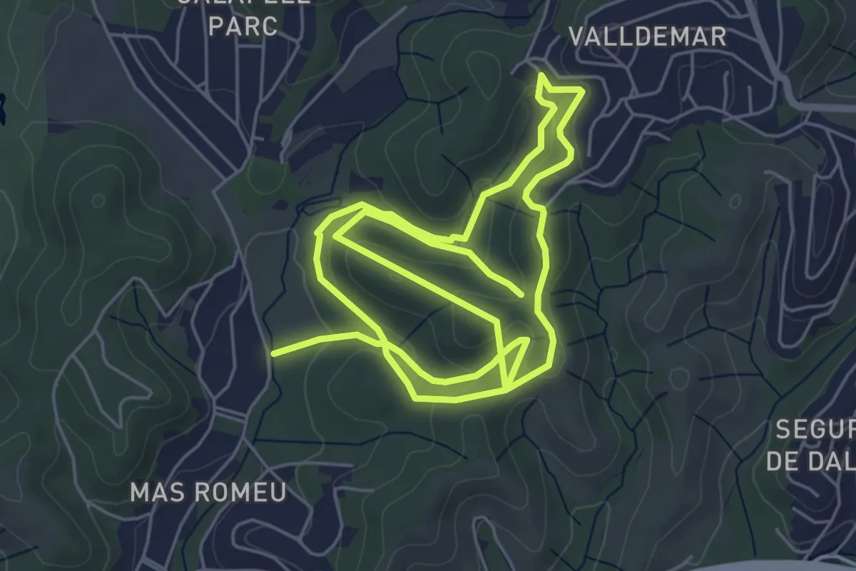
Medium · Trail
Camina que coneixeràs - Els Fondos de Montpaó
12.3 km · ↑ 374 m · 3 h 43 min
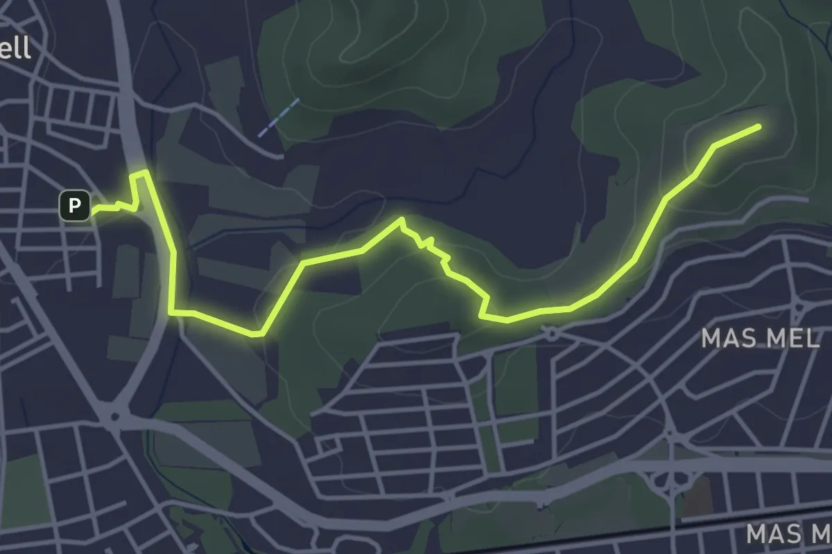
Easy · Summit
Camina que coneixeràs - La Muntanya del Comú
5.3 km · ↑ 136 m · 1 h 33 min
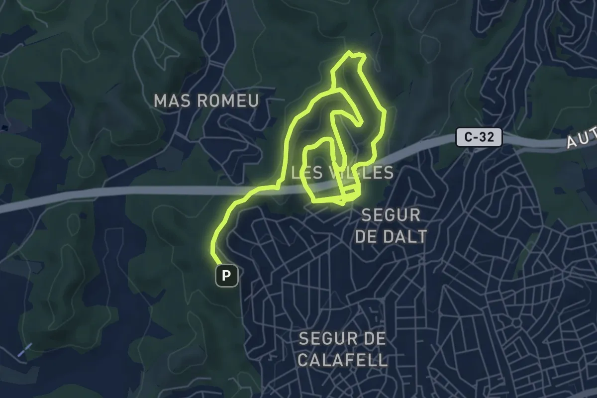
Medium · Trail
Camina que coneixeràs - La Serra de la Granja
13.8 km · ↑ 427 m · 4 h 11 min
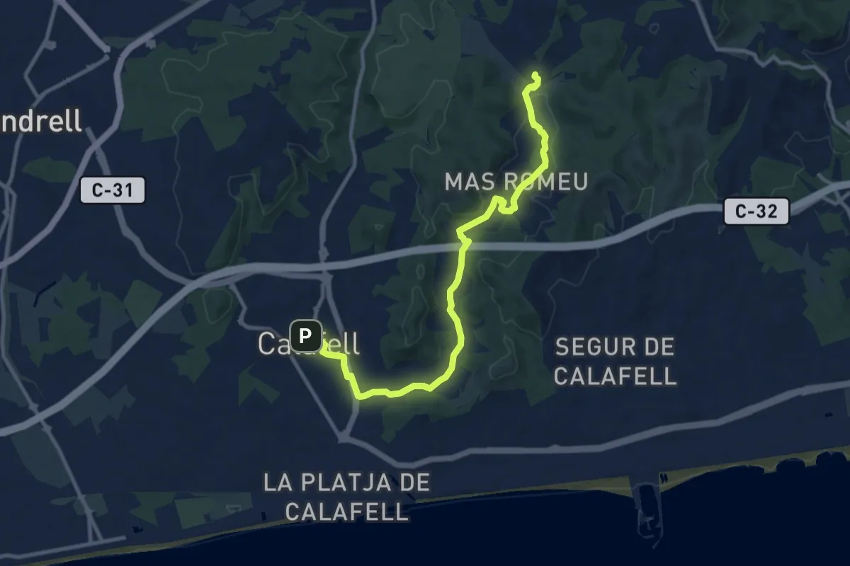
Medium · Summit
Camina que coneixeràs - Ruta pels Antics Camins Medievals
12.1 km · ↑ 168 m · 3 h 13 min
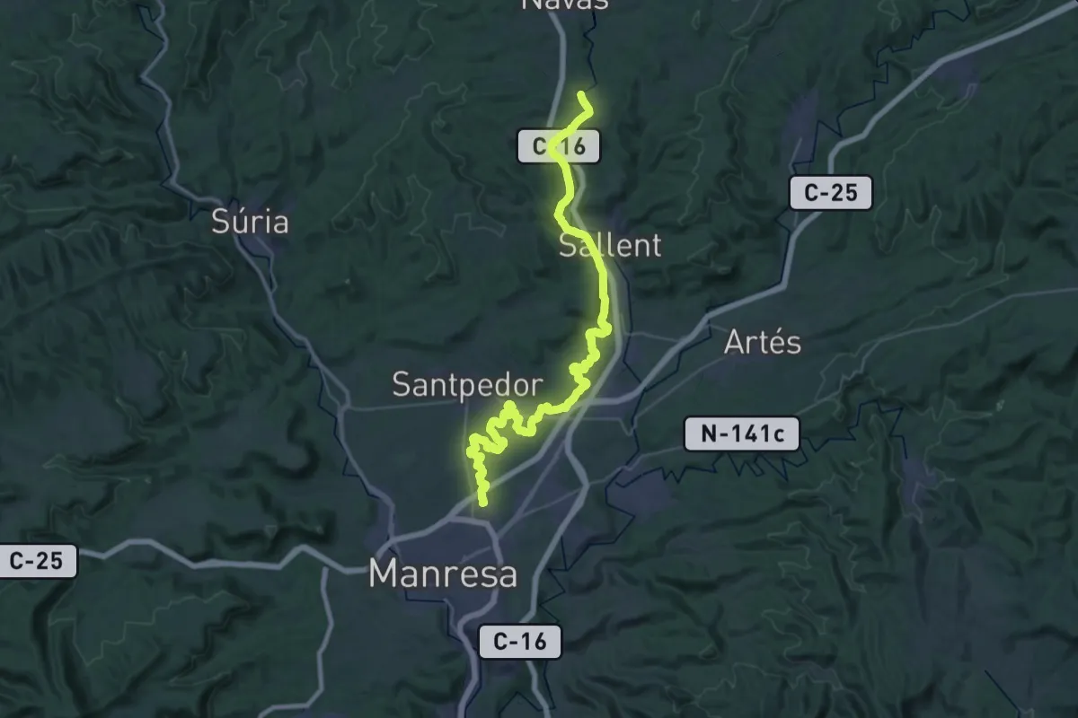
Demanding · Trail
Camí Natural de la Sèquia
24.6 km · ↑ 189 m · 6 h 33 min
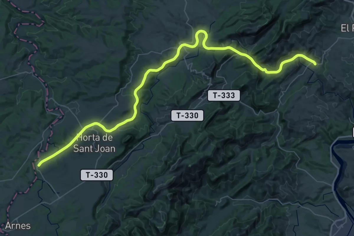
Demanding · Trail
Camí Natural de la Terra Alta
23.6 km · ↑ 840 m · 7 h 34 min
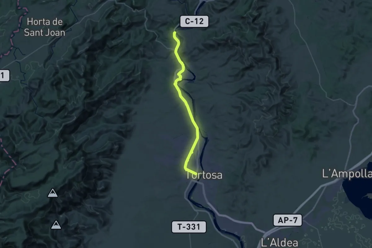
Demanding · Summit
Camí Natural del Baix Ebre
36.9 km · ↑ 282 m · 9 h 20 min
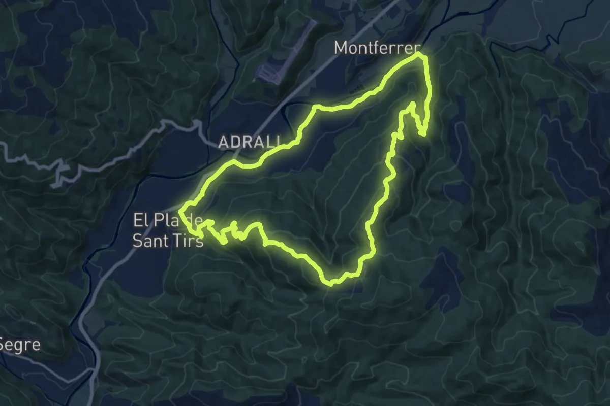
Medium · Trail
Camí Natural de les Mines de la Ribera de l'Urgellet
17.4 km · ↑ 647 m · 5 h 45 min
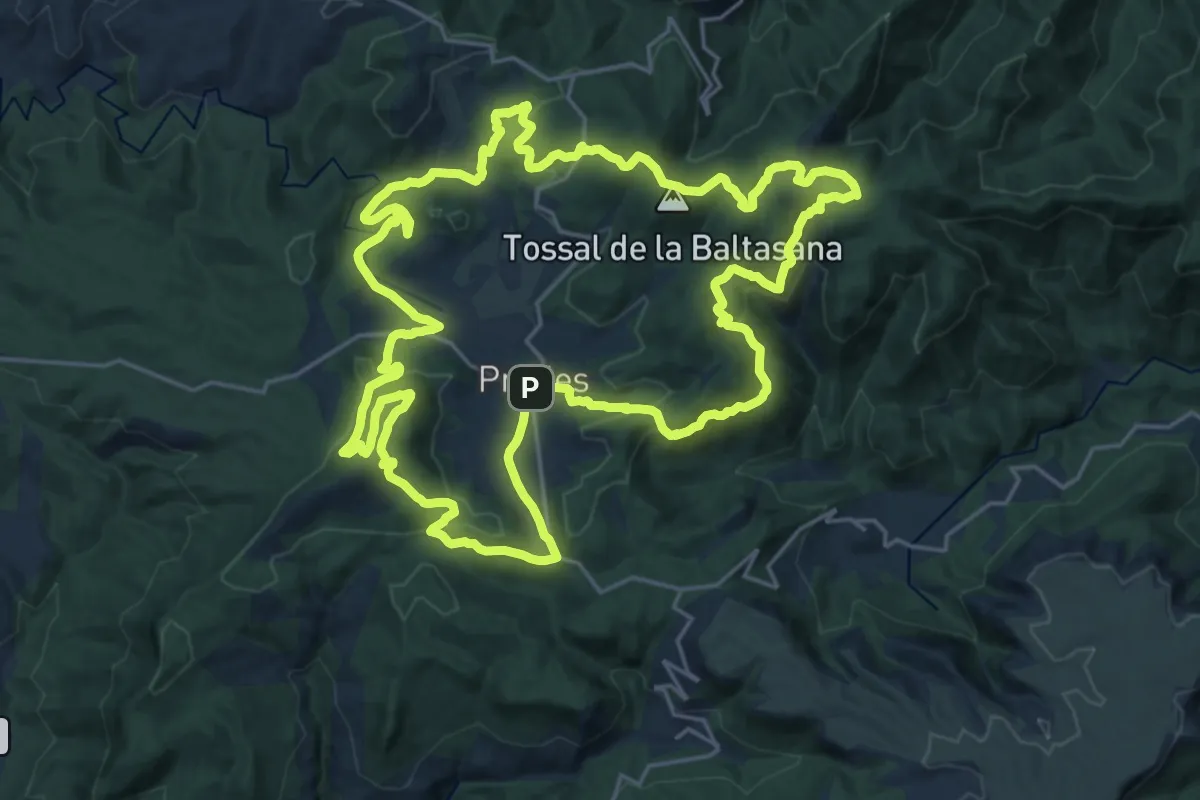
Demanding · Summit
Camí natural de les Muntanyes de Prades
26.5 km · ↑ 782 m · 8 h 20 min
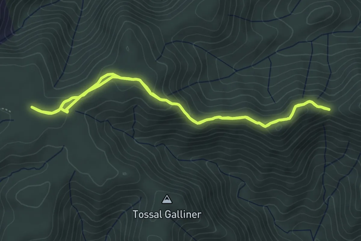
Easy · Trail
Camí natural de les Muntanyes de Prades. Variant de la Serra del Bosc o dels Quatre Batlles
5.3 km · ↑ 156 m · 1 h 40 min
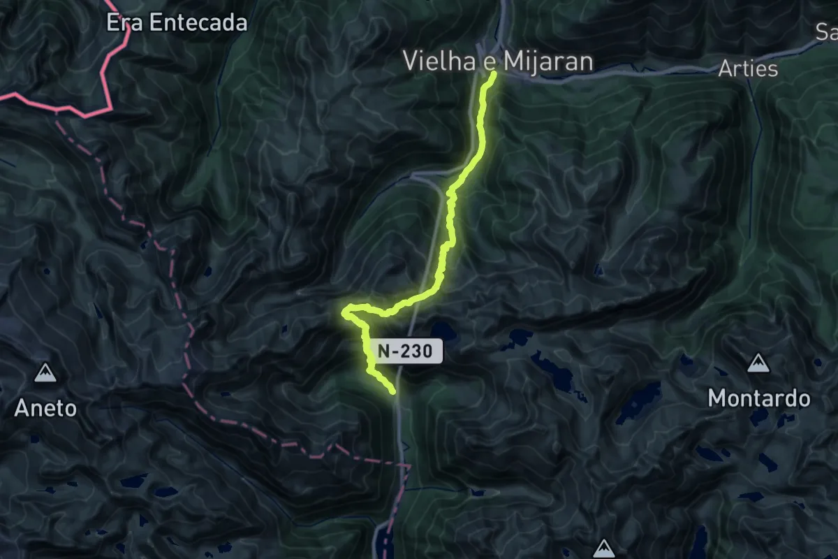
Demanding · Cabin
Camí Natural del Port de Vielha
13.3 km · ↑ 1499 m · 6 h 16 min
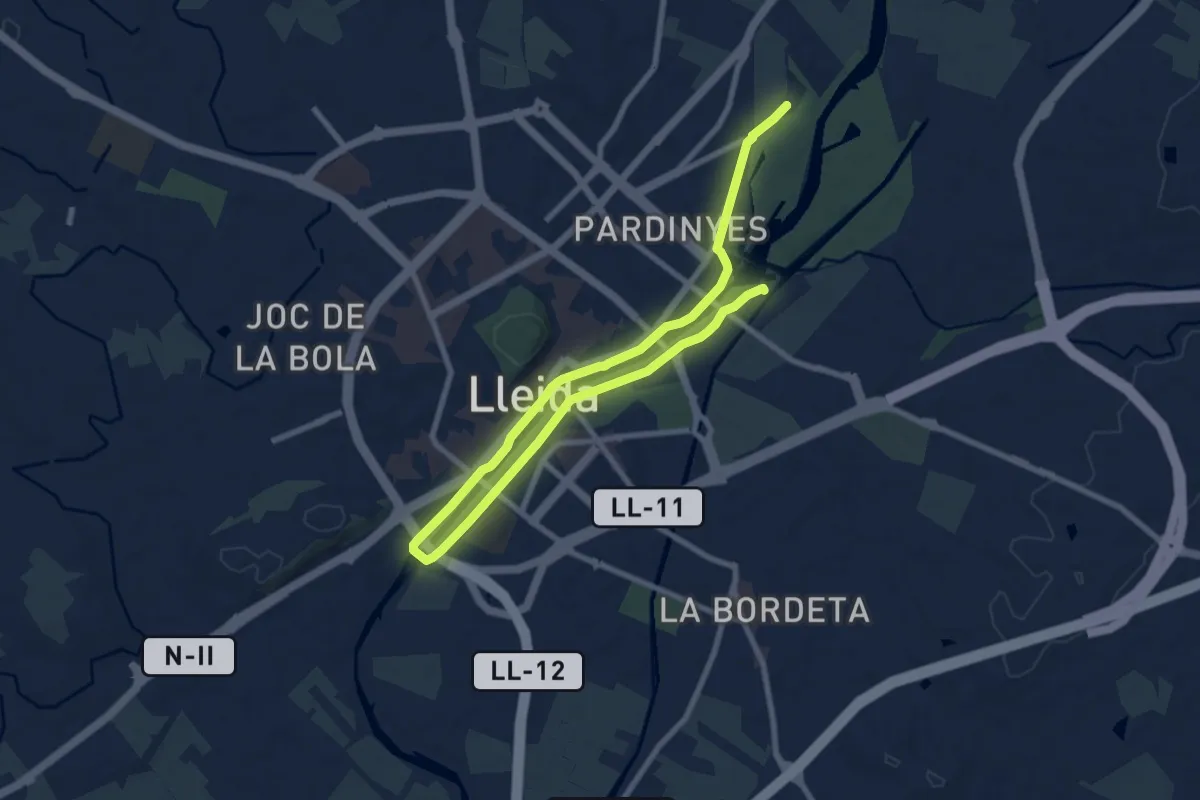
Medium · Trail
Camí Natural del Riu. Ruta 1
13.2 km · ↑ 61 m · 3 h 15 min
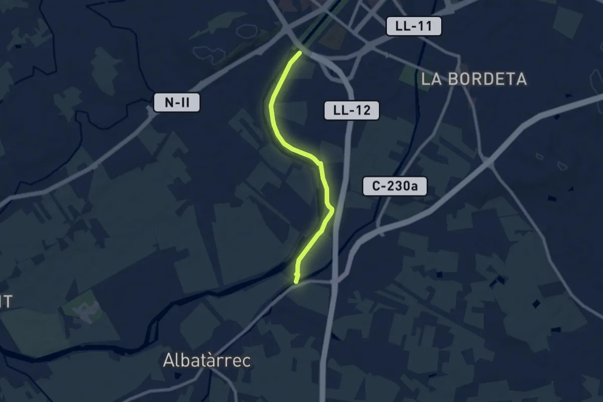
Easy · Trail
Camí Natural del Riu. Ruta 2a
6.5 km · ↑ 17 m · 1 h 35 min
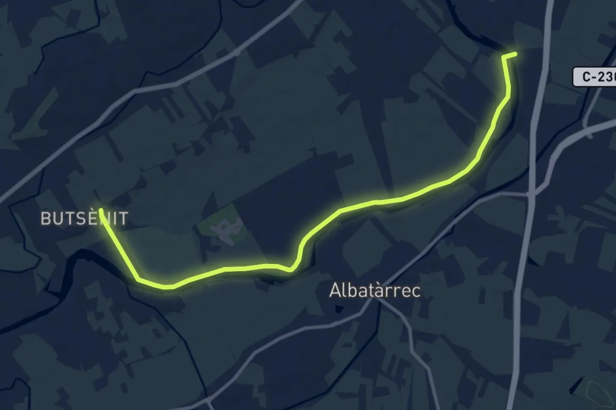
Medium · Trail
Camí Natural del Riu. Ruta 2b
11.3 km · ↑ 24 m · 2 h 43 min
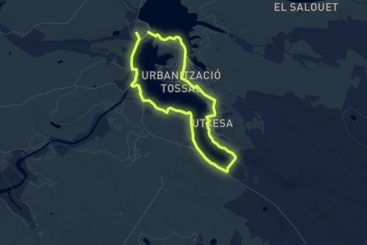
Medium · Summit
Camí Natural del Riu Segre i Embassament d'Utxesa
13.4 km · ↑ 93 m · 3 h 22 min
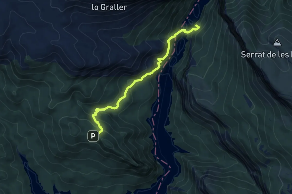
Demanding · Summit
Camí natural de Montfalcó al Congost de Mont-rebei
7.0 km · ↑ 596 m · 2 h 57 min
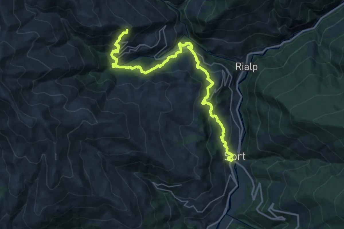
Demanding · Summit
Camí Natural de Sort i la Vall d'Àssua
26.7 km · ↑ 1593 m · 9 h 45 min
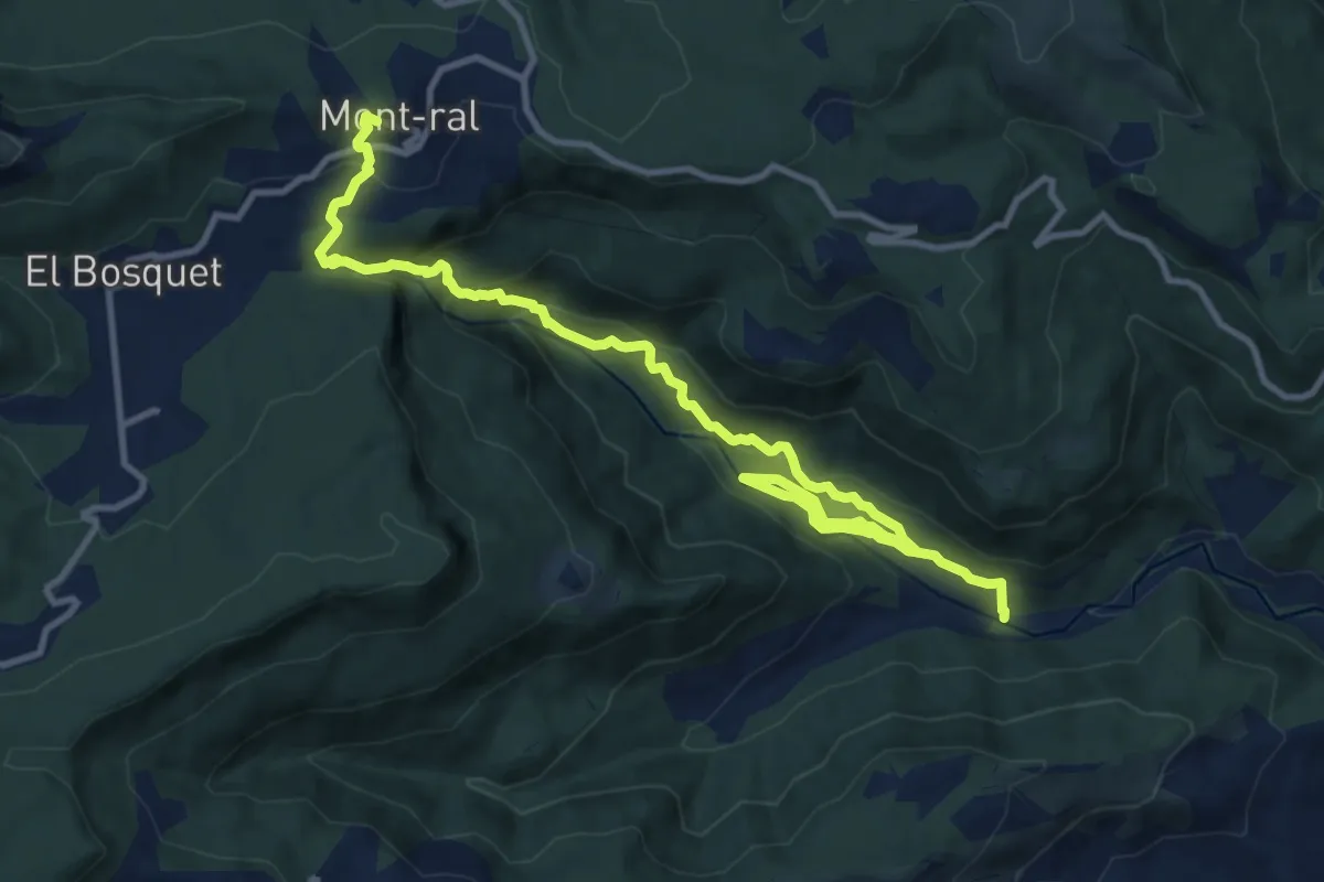
Medium · Cabin
Camí natural Ruta del Glorieta
15.0 km · ↑ 786 m · 5 h 15 min
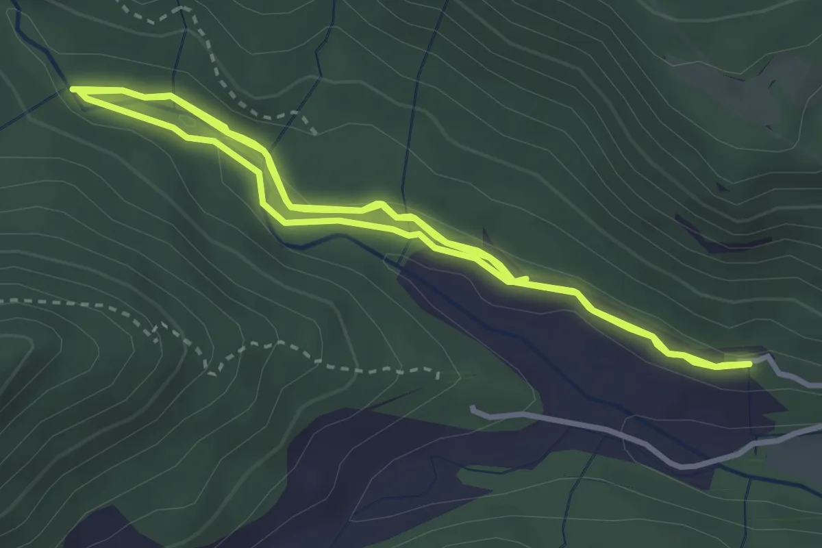
Easy · Trail
Camí natural Ruta del Glorieta. Variant cèquia del Mas de Forés
4.0 km · ↑ 54 m · 1 h 8 min
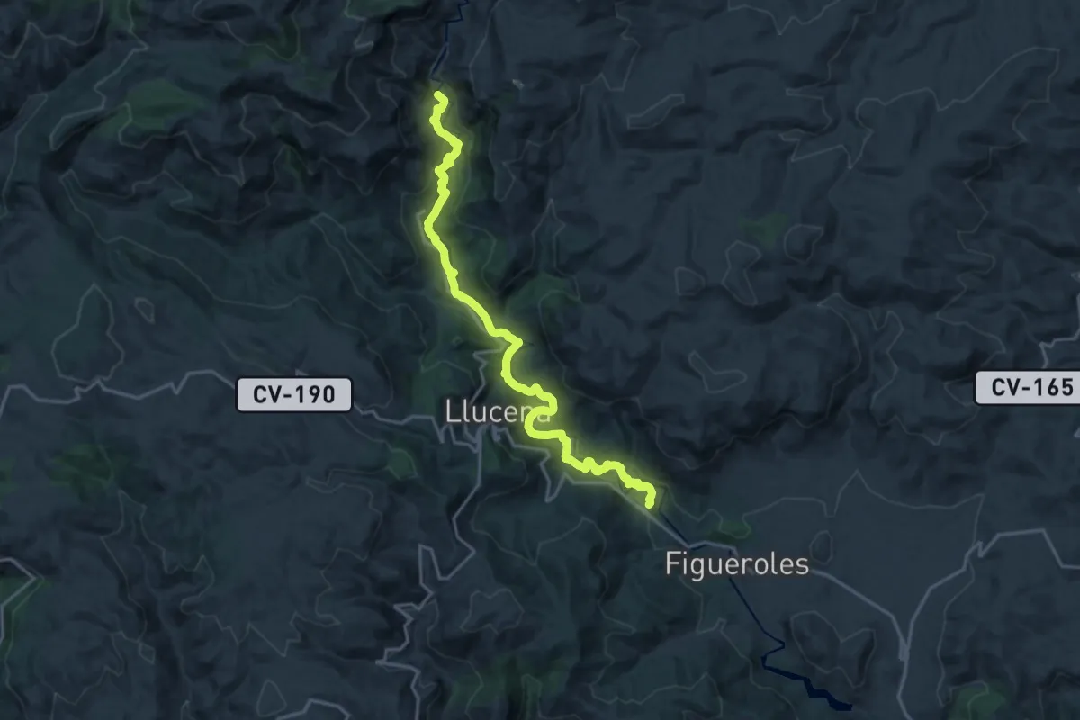
Demanding · Trail
Camí Natural Ruta dels Molins d'Aigua
21.9 km · ↑ 576 m · 6 h 26 min
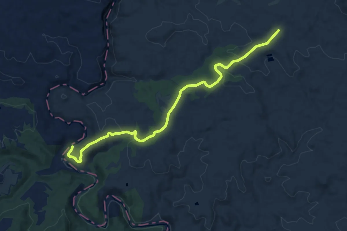
Medium · Trail
Camí Natural Turia - Cabriel
14.7 km · ↑ 273 m · 4 h 4 min
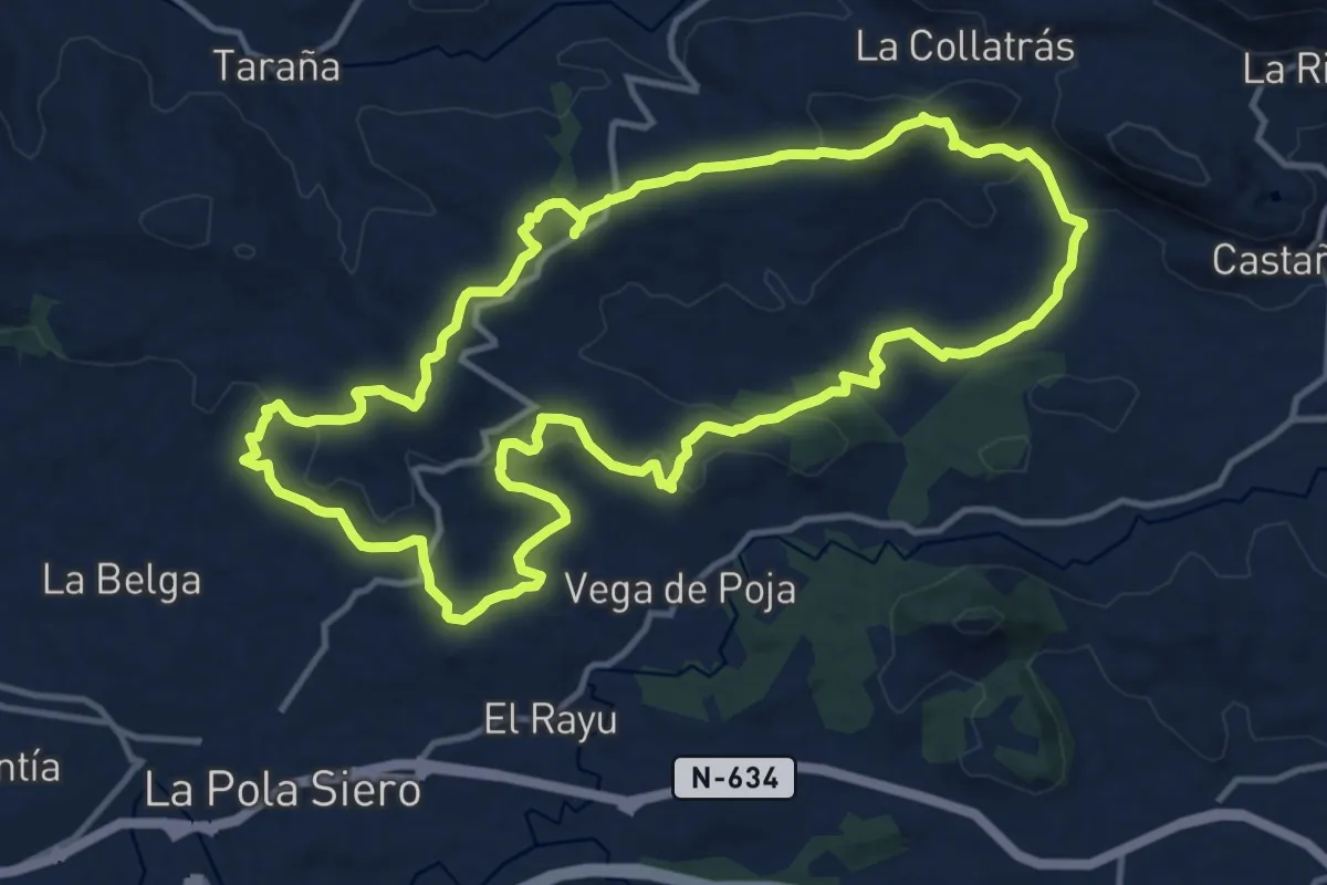
Medium · Summit
Camin de Careses
14.0 km · ↑ 361 m · 4 h 16 min
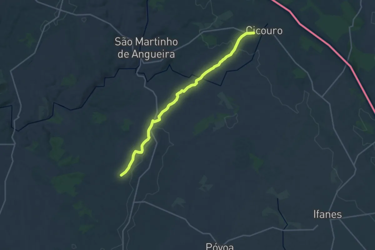
Medium · Trail
Caminho de Santo Amaro a Especiosa
16.6 km · ↑ 167 m · 4 h 17 min
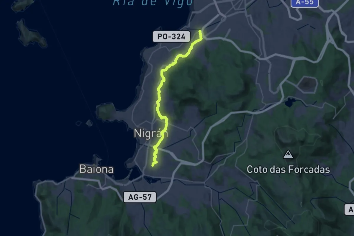
Demanding · Trail
Caminho Português da Costa (A Ramalosa - Vigo)
24.9 km · ↑ 534 m · 7 h 2 min
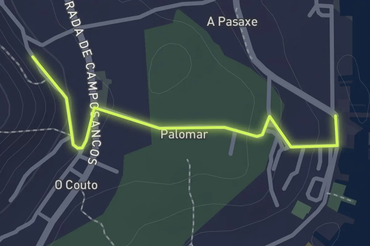
Easy · Trail
Caminho Português de Santiago
2.1 km · ↑ 53 m · 37 min
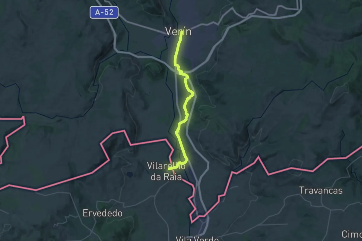
Demanding · Trail
Caminho Português do Interior
28.2 km · ↑ 192 m · 7 h 4 min
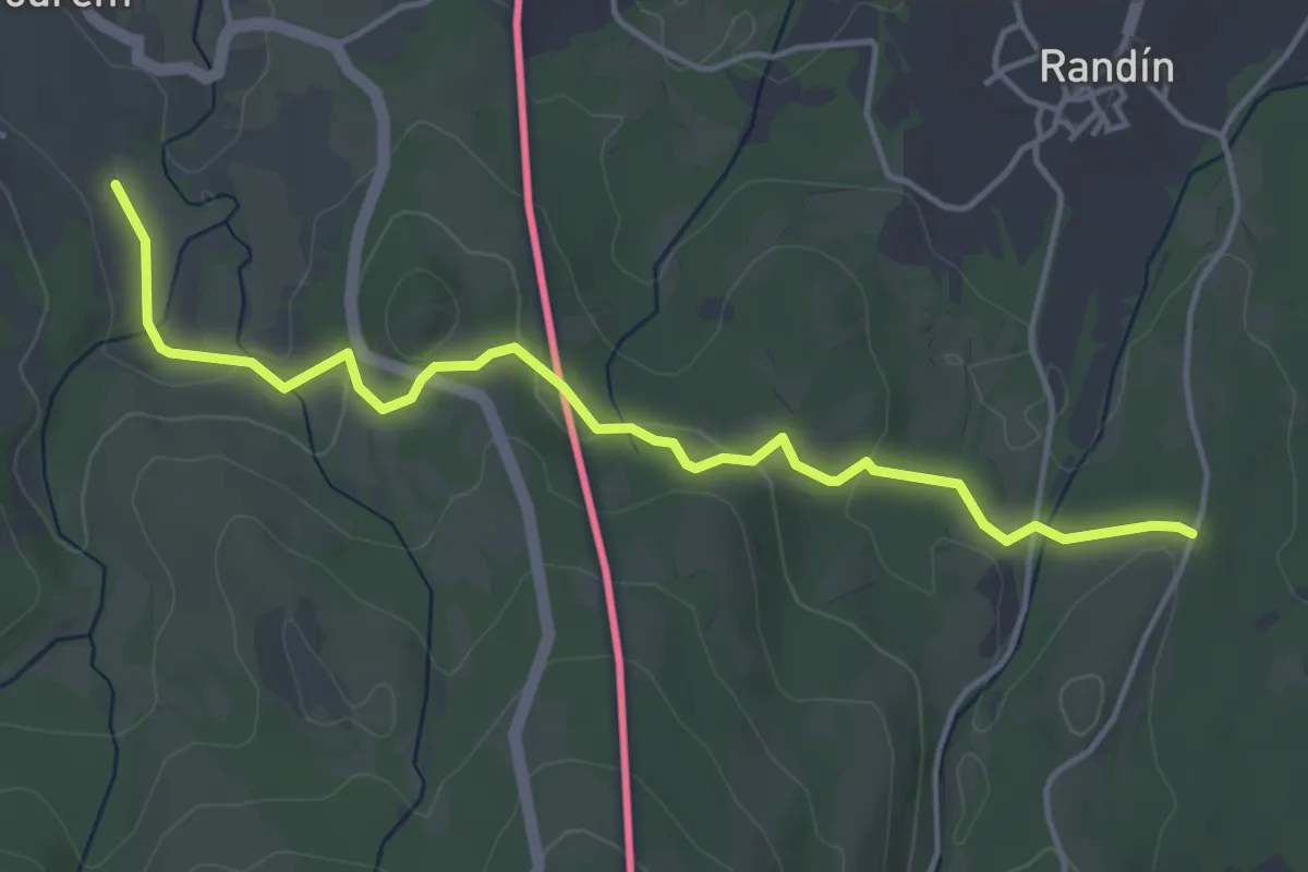
Easy · Trail
Caminho privilegiado do Couto Misto
5.1 km · ↑ 166 m · 1 h 33 min
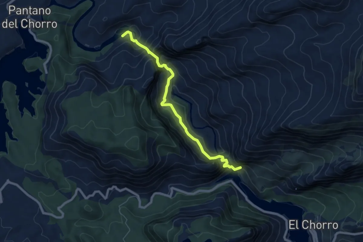
Demanding · Trail
Caminito del Rey
6.5 km · ↑ 813 m · 3 h 17 min
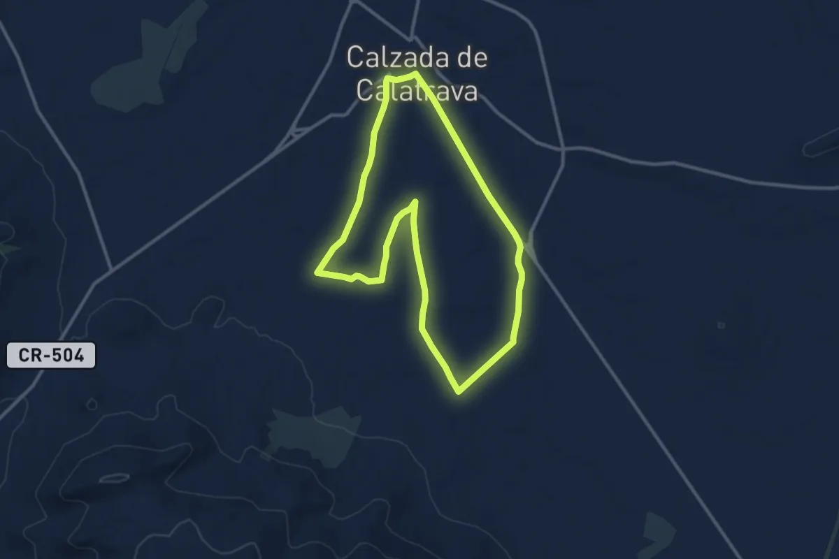
Medium · Trail
Camino a Fontanar
11.6 km · ↑ 42 m · 2 h 59 min
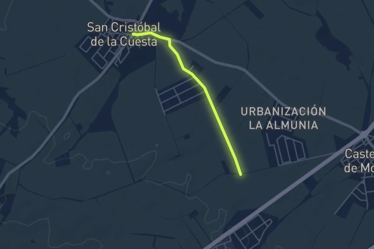
Easy · Trail
Camino a la Calzada de Medina
3.7 km · ↑ 35 m · 56 min