Trails in Spain
5,963 hiking trails, each with its route, climb, walking time and grade.
All trails, page 19 of 125
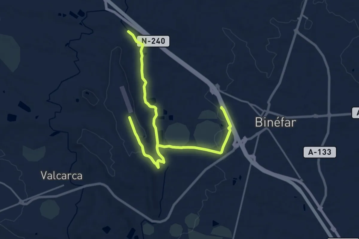
Demanding · Trail
Camino Natural de la Sierra de San Quílez
20.0 km · ↑ 224 m · 5 h 12 min
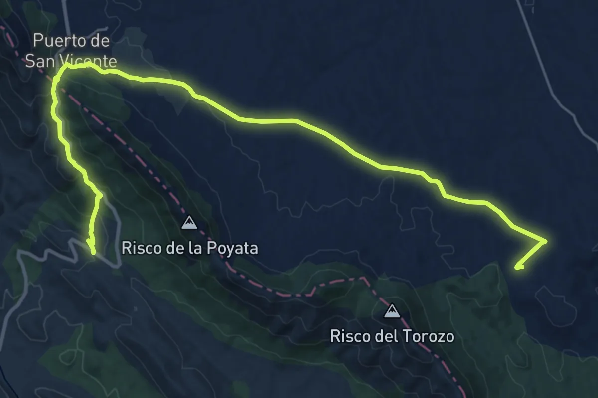
Demanding · Trail
Camino Natural de Las Villuercas
26.1 km · ↑ 581 m · 7 h 25 min
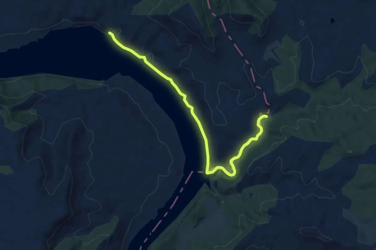
Medium · Trail
Camino natural del Ebro - Aragón
9.6 km · ↑ 226 m · 2 h 45 min
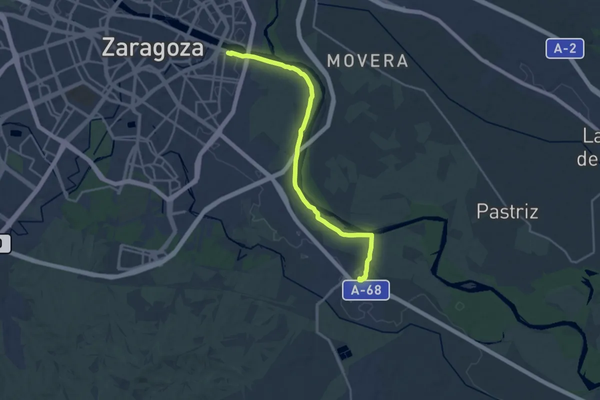
Medium · Trail
Camino Natural del Ebro de Zaragoza a La Cartuja
16.1 km · ↑ 26 m · 3 h 51 min
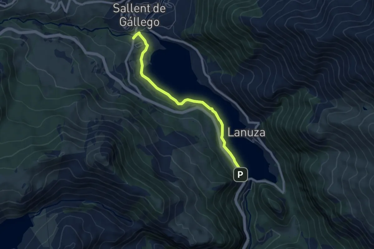
Easy · Trail
Camino Natural del Embalse de Lanuza
6.1 km · ↑ 108 m · 1 h 40 min
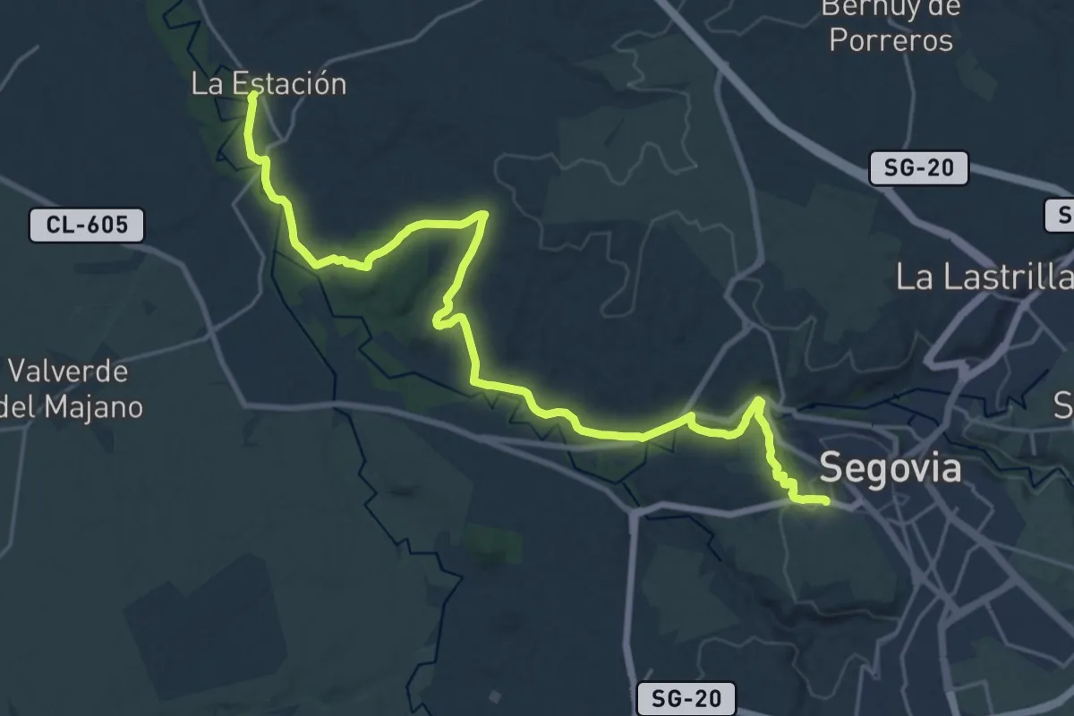
Demanding · Trail
Camino Natural del Eresma
26.9 km · ↑ 343 m · 7 h 6 min
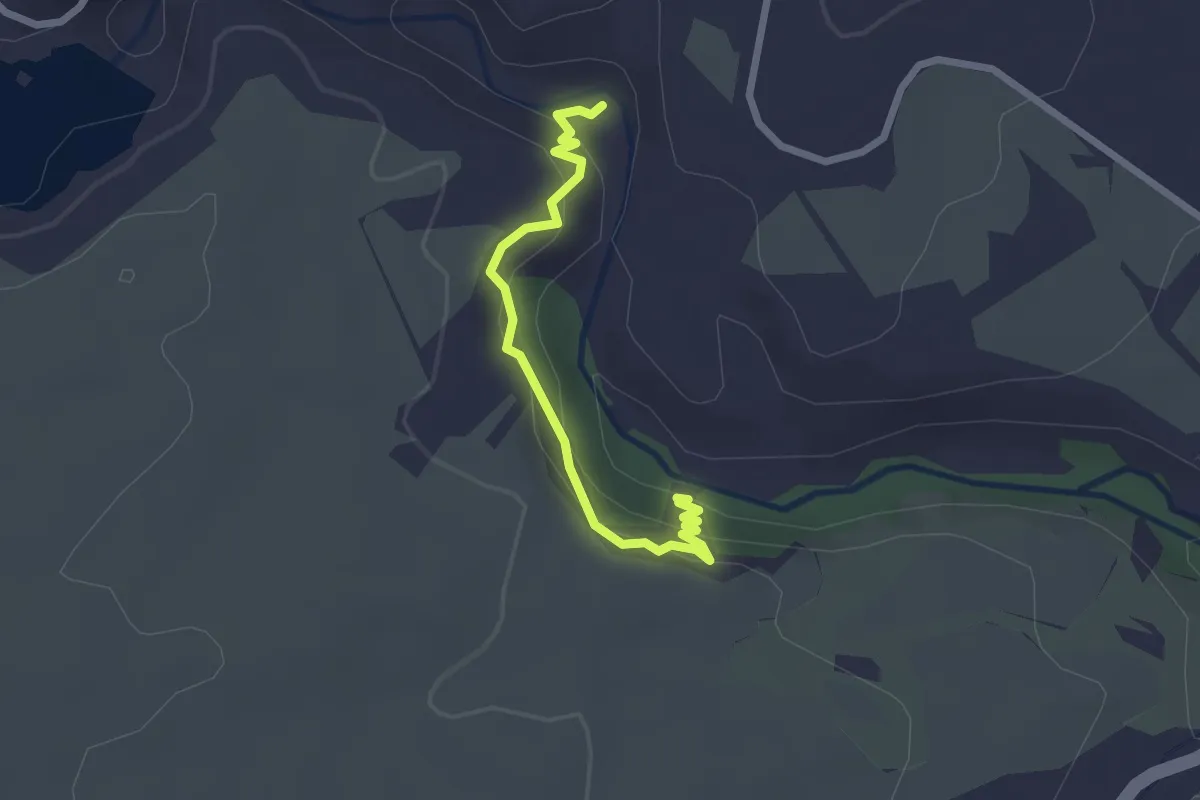
Easy · Trail
Camino Natural del Guadalaviar
2.5 km · ↑ 109 m · 50 min
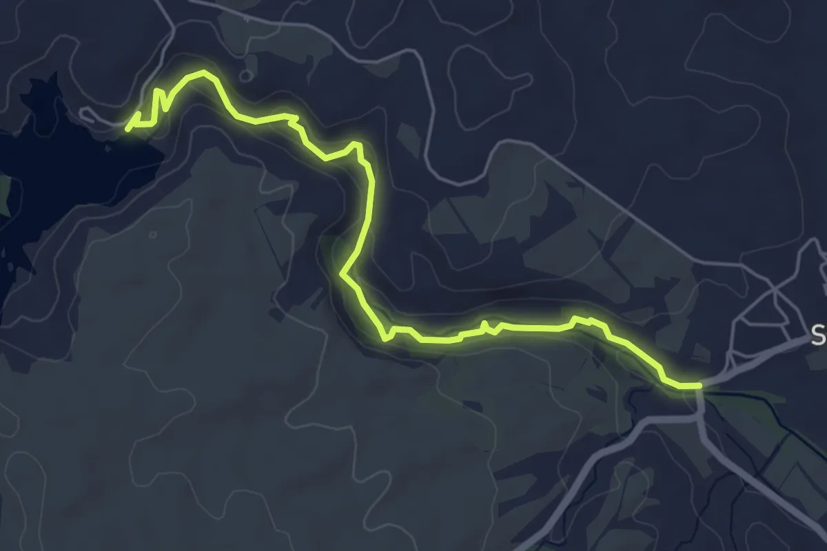
Easy · Trail
Camino Natural del Guadalaviar
6.3 km · ↑ 180 m · 1 h 53 min
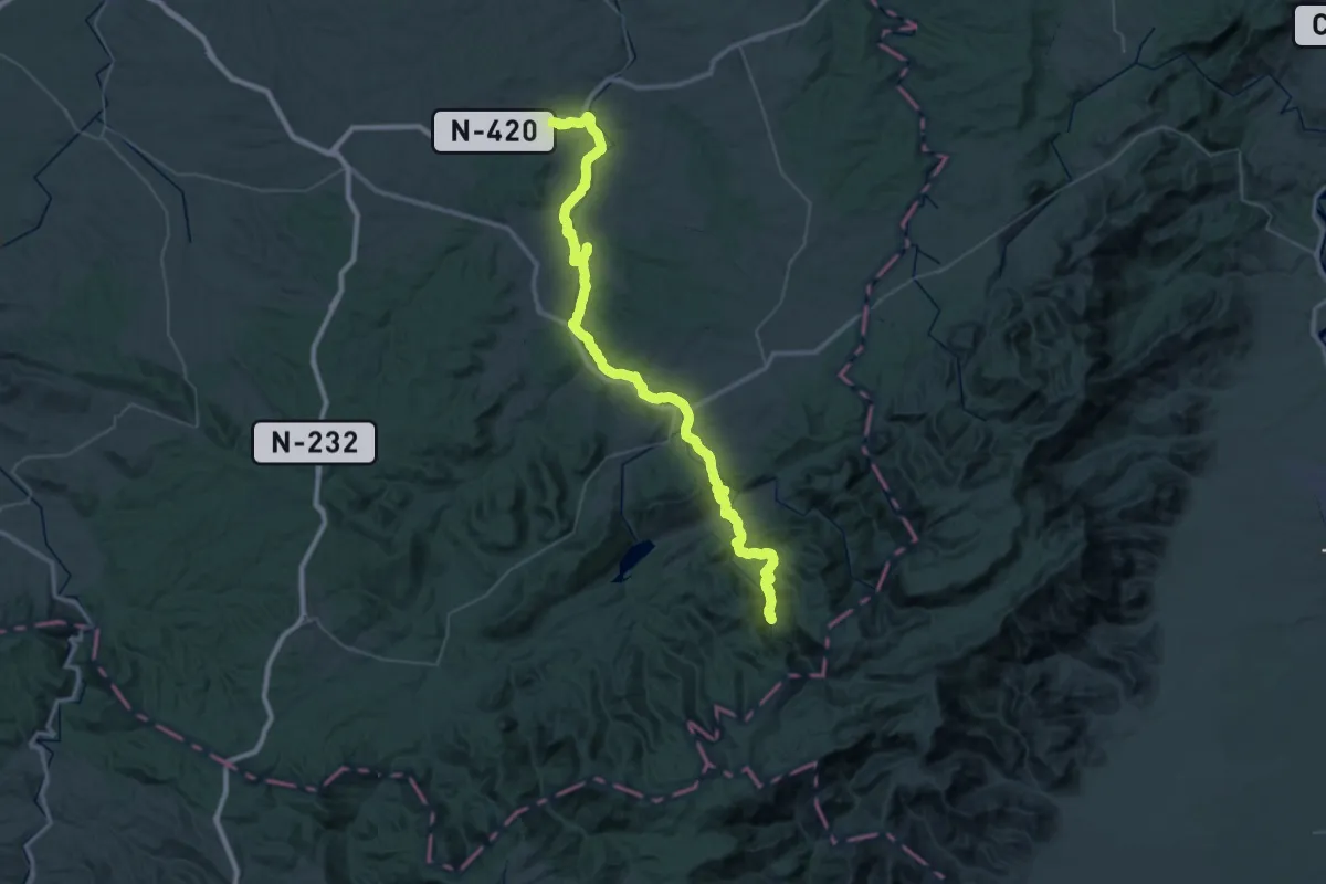
Demanding · Trail
Camino Natural del Matarraña - Algars
34.7 km · ↑ 898 m · 10 h 29 min
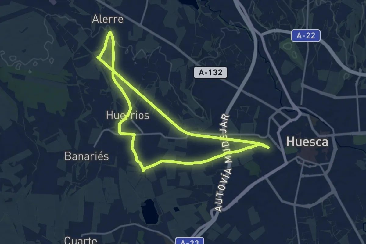
Medium · Trail
Camino Natural de Loreto y el Canfranero
12.0 km · ↑ 39 m · 3 h 6 min
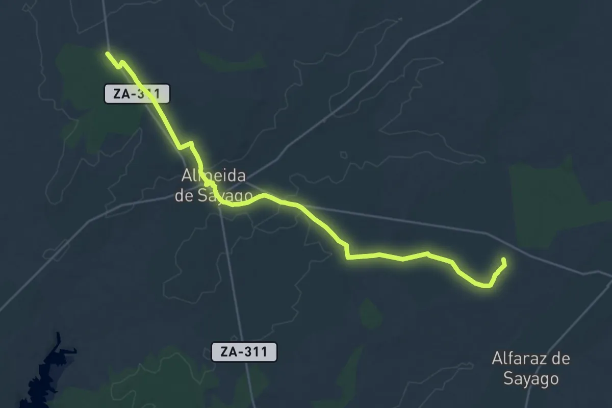
Demanding · Summit
Camino Natural del Paisaje Agrario Sayagués
26.4 km · ↑ 202 m · 6 h 41 min
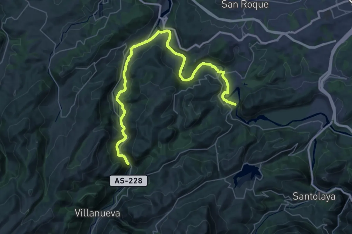
Medium · Trail
Camino Natural del Rio Naló (Fuso a Tuñaón)
15.7 km · ↑ 400 m · 4 h 45 min
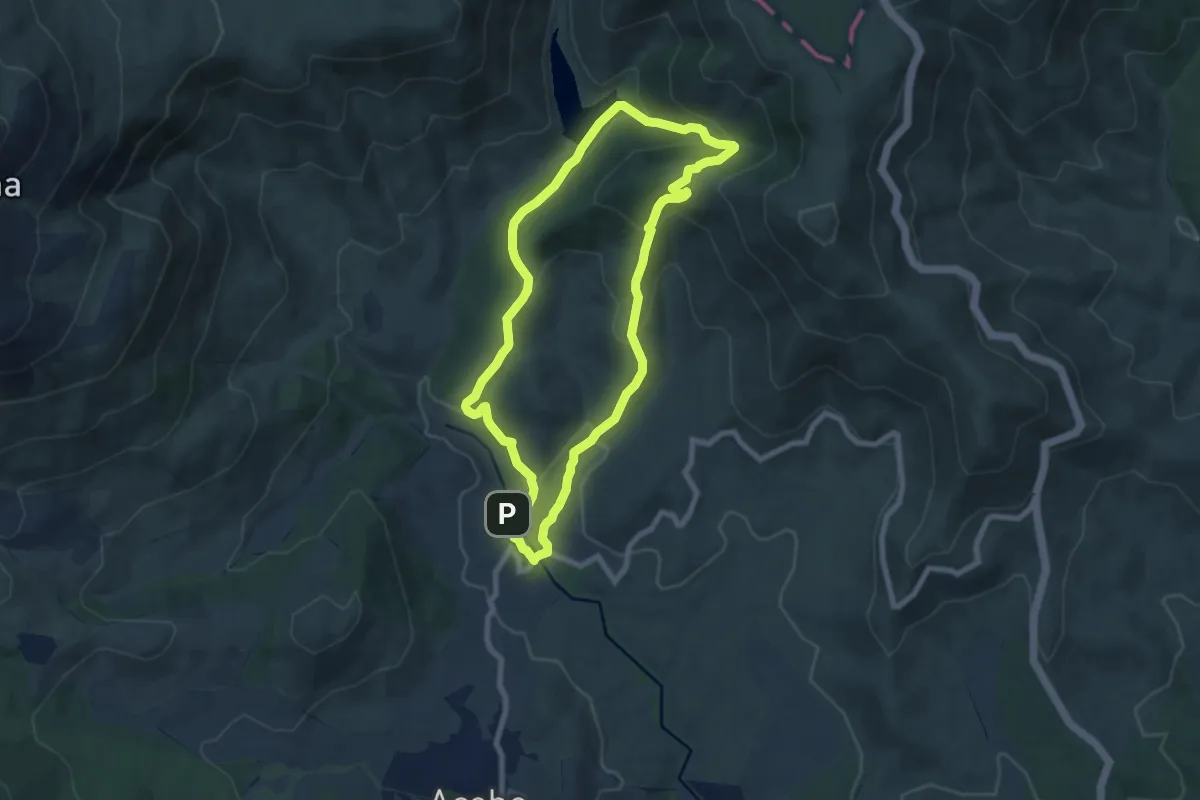
Medium · Trail
Camino Natural del Rio Ribera de Acebo
8.1 km · ↑ 386 m · 2 h 52 min
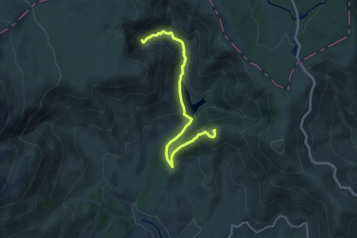
Medium · Summit
Camino Natural del Rio Ribera de Acebo (variante)
9.3 km · ↑ 425 m · 3 h 6 min
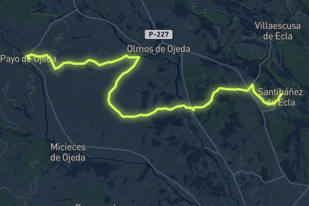
Demanding · Trail
Camino Natural del Románico Palentino. Alternativa 1: Santibañez de Ecla a Payo de Ojeda
27.4 km · ↑ 395 m · 7 h 19 min
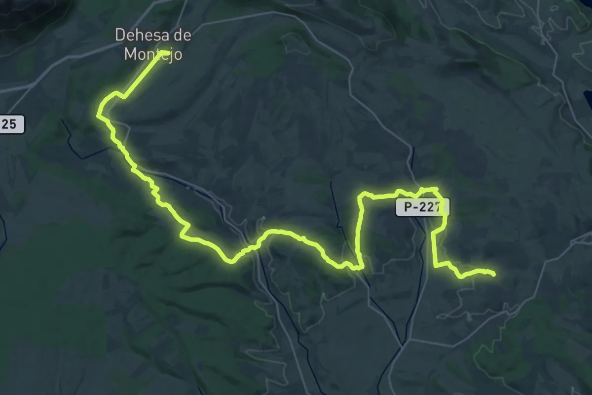
Demanding · Trail
Camino Natural del Románico Palentino. Alternativa 2: Perazancas de Ojeda a Dehesa de Montejo
22.4 km · ↑ 357 m · 6 h 23 min
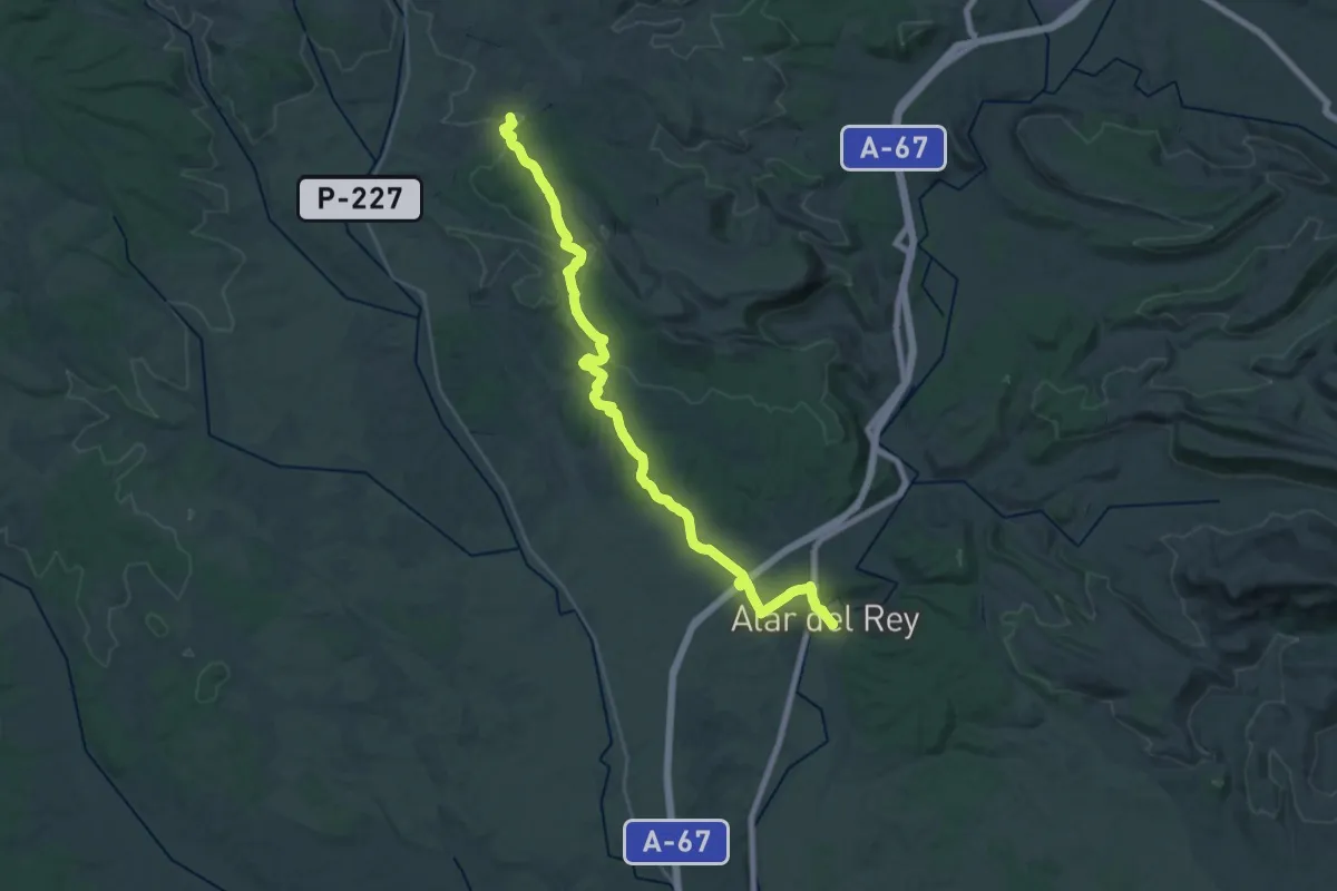
Medium · Trail
Camino Natural del Románico Palentino. Ruta del Carbón de cok. Etapa 1
17.0 km · ↑ 196 m · 4 h 44 min
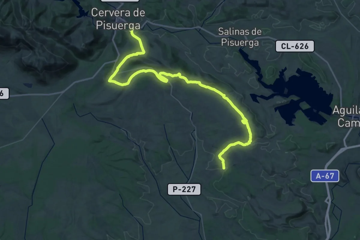
Demanding · Trail
Camino Natural del Románico Palentino. Ruta del Carbón de cok. Etapa 2
27.9 km · ↑ 582 m · 8 h 14 min
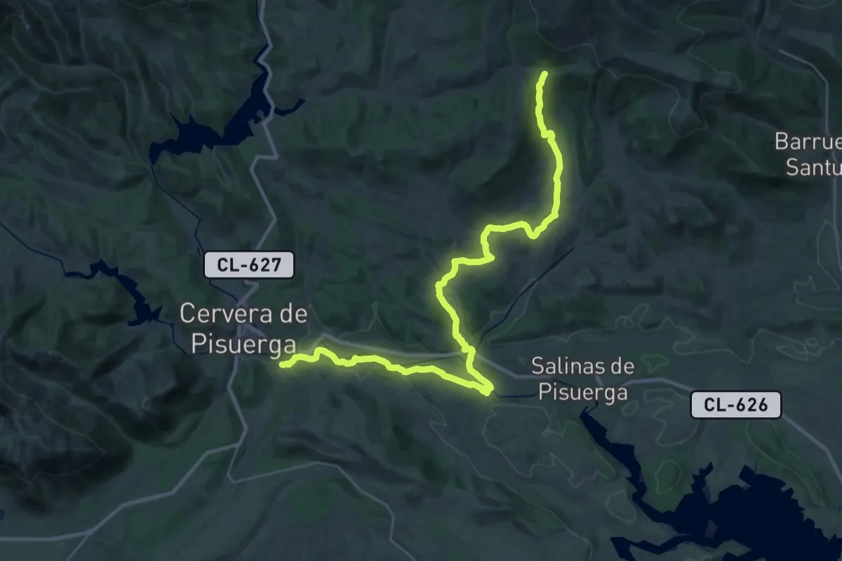
Demanding · Summit
Camino Natural del Románico Palentino. Ruta del Carbón de cok. Etapa 3
42.1 km · ↑ 655 m · 11 h 22 min
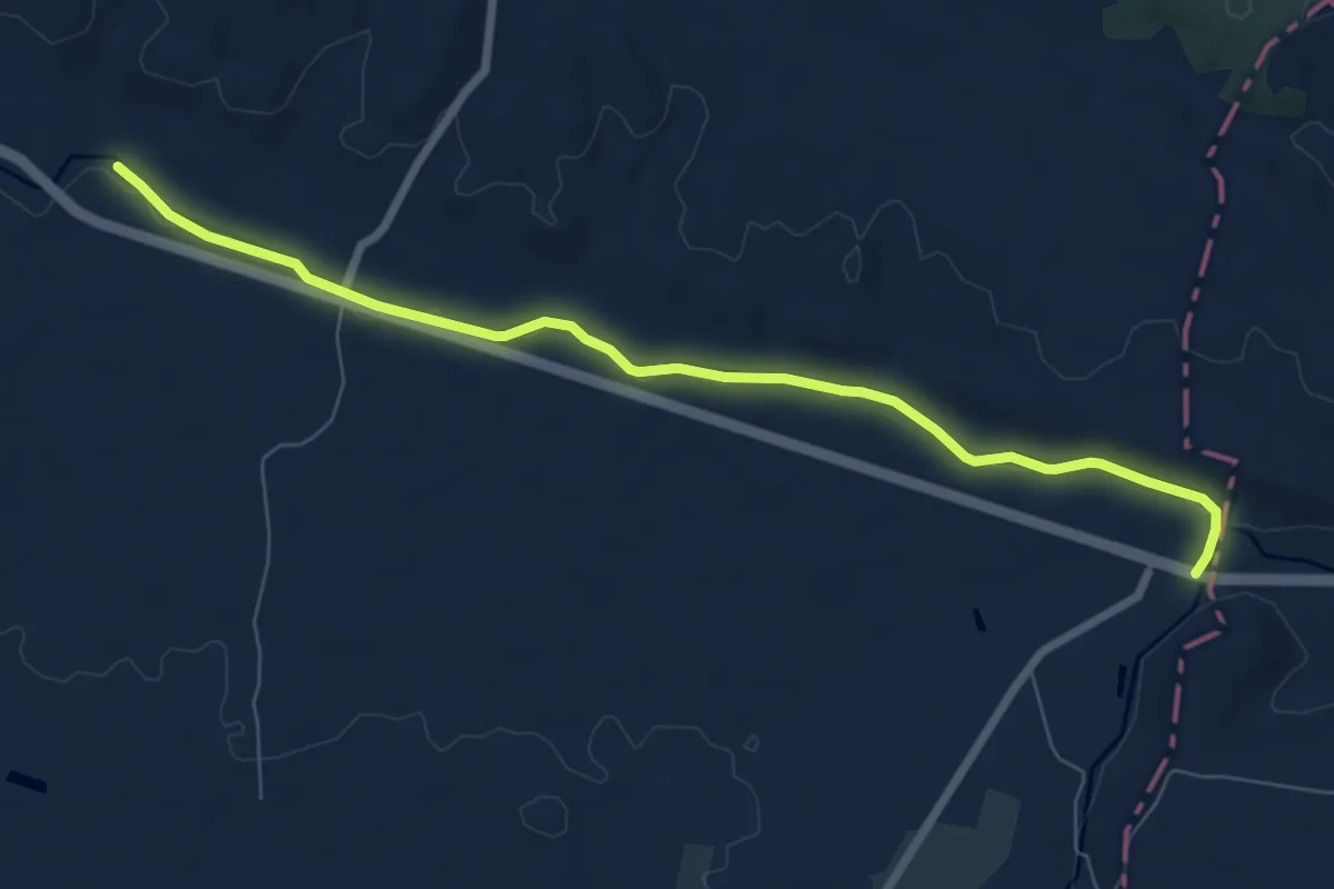
Medium · Trail
Camino Natural del Sifón de Albelda
8.5 km · ↑ 12 m · 2 h 3 min
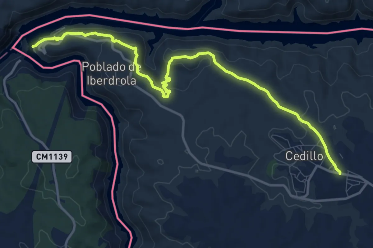
Medium · Trail
Camino Natural del Tajo
11.7 km · ↑ 350 m · 3 h 31 min
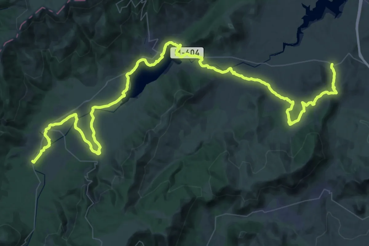
Demanding · Trail
Camino Natural del Valle del Lozoya
39.5 km · ↑ 484 m · 10 h 55 min
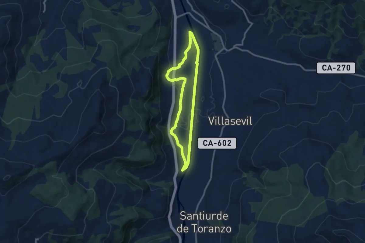
Easy · Trail
Camino Natural del Valle de Toranzo. Ruta de Corvera
6.9 km · ↑ 45 m · 1 h 50 min
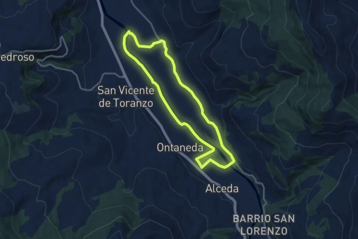
Medium · Trail
Camino Natural del Valle de Toranzo. Ruta de Ontaneda
8.1 km · ↑ 46 m · 2 h 8 min
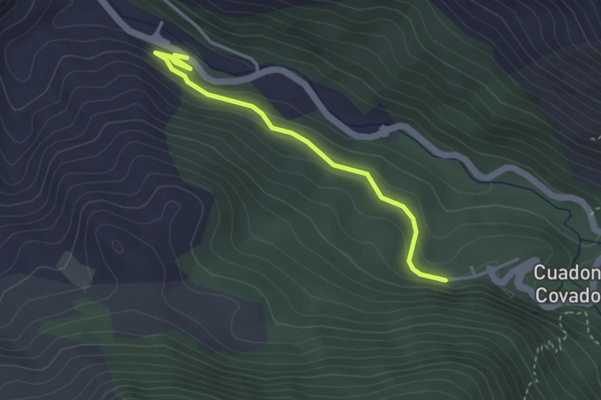
Easy · Trail
Camino Natural de Muñigo - Covadonga
3.1 km · ↑ 172 m · 1 h 7 min
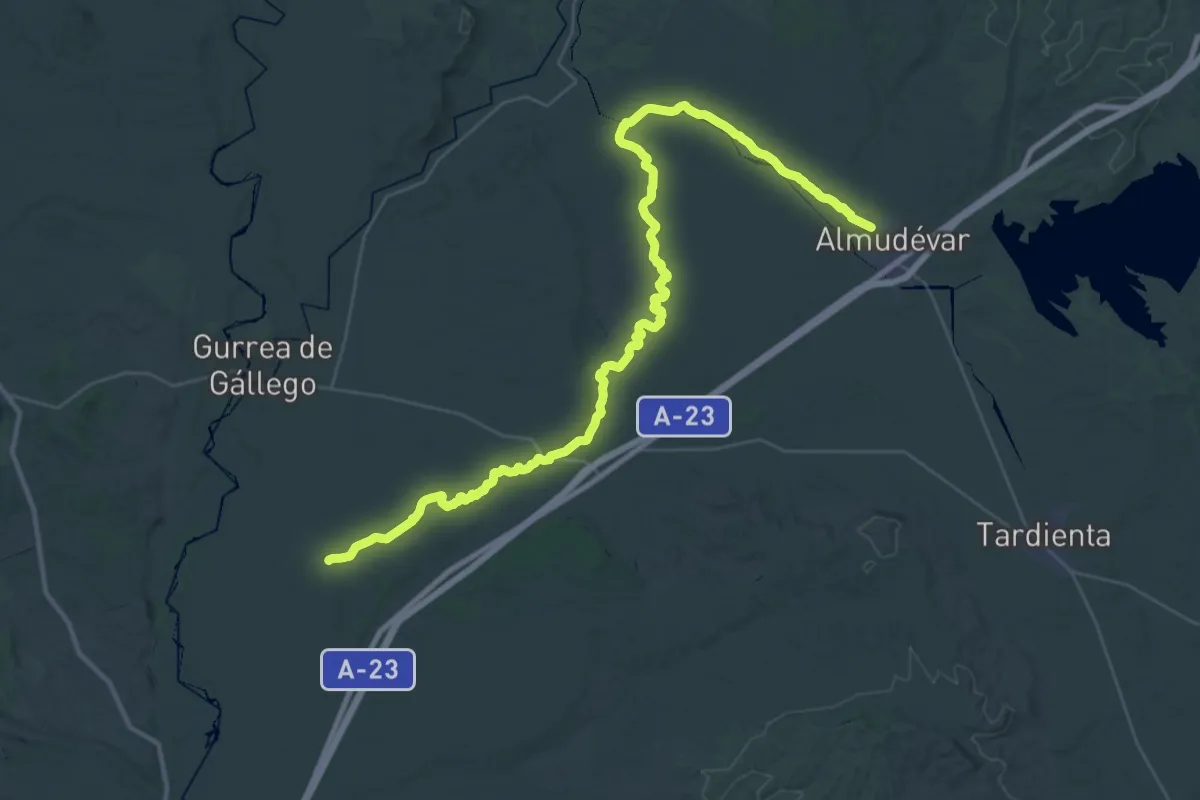
Demanding · Trail
Camino Natural de Pedro Saputo
25.8 km · ↑ 83 m · 6 h 40 min
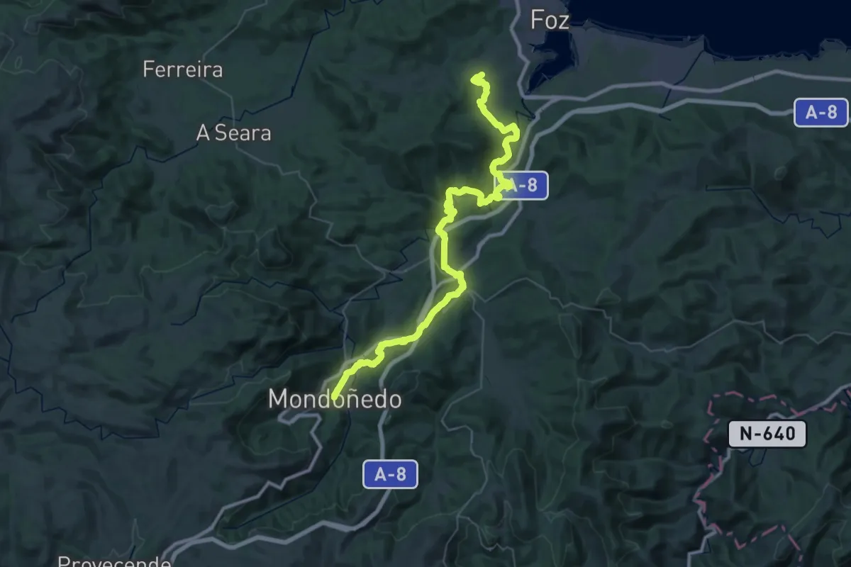
Demanding · Trail
Camiño natural de San Rosendo (Foz - Mondoñedo)
25.6 km · ↑ 747 m · 8 h
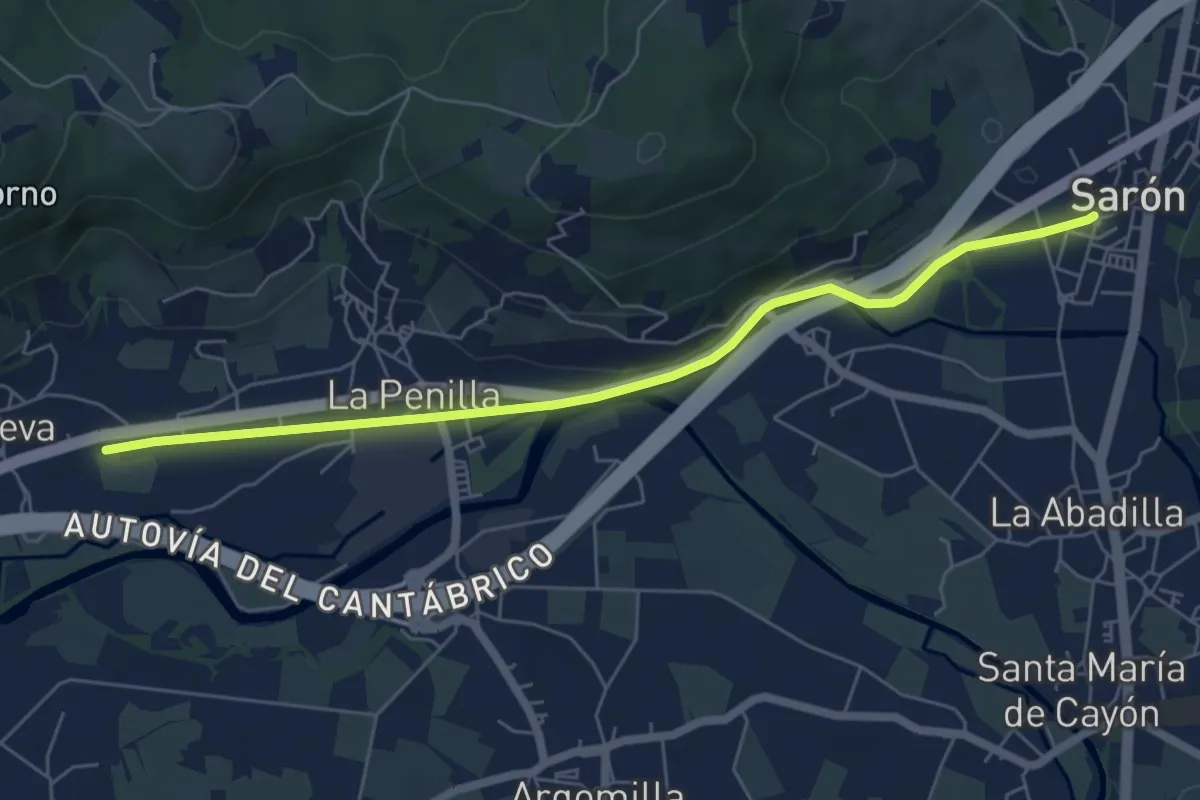
Easy · Trail
Camino Natural de Sarón - La Penilla
6.6 km · ↑ 46 m · 1 h 39 min
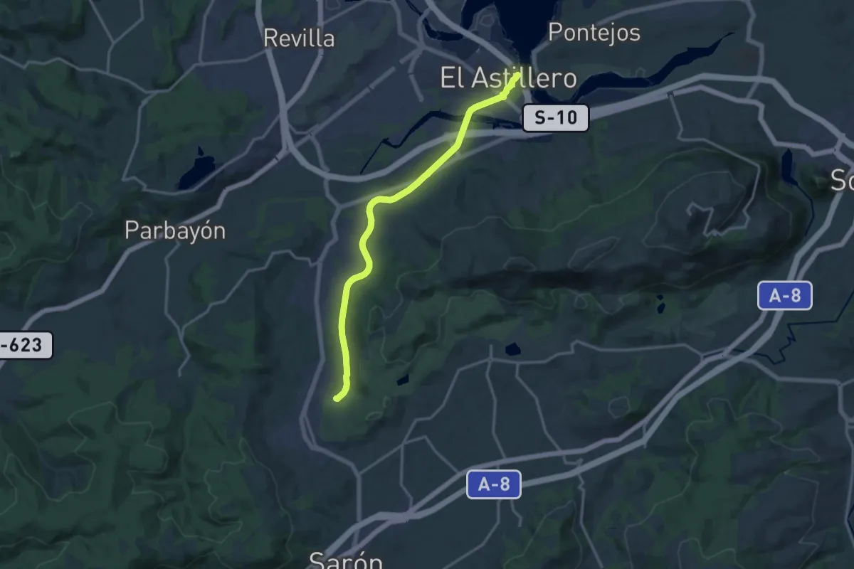
Medium · Trail
Camino Natural de Villaescusa
14.9 km · ↑ 138 m · 3 h 49 min
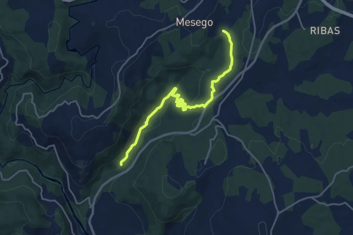
Medium · Trail
Camiño Natural dos Arrieiros
11.9 km · ↑ 361 m · 3 h 36 min
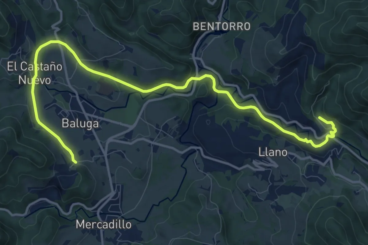
Medium · Trail
Camino Natural Via Verde de Galdames a Sopuerta
13.4 km · ↑ 279 m · 3 h 46 min
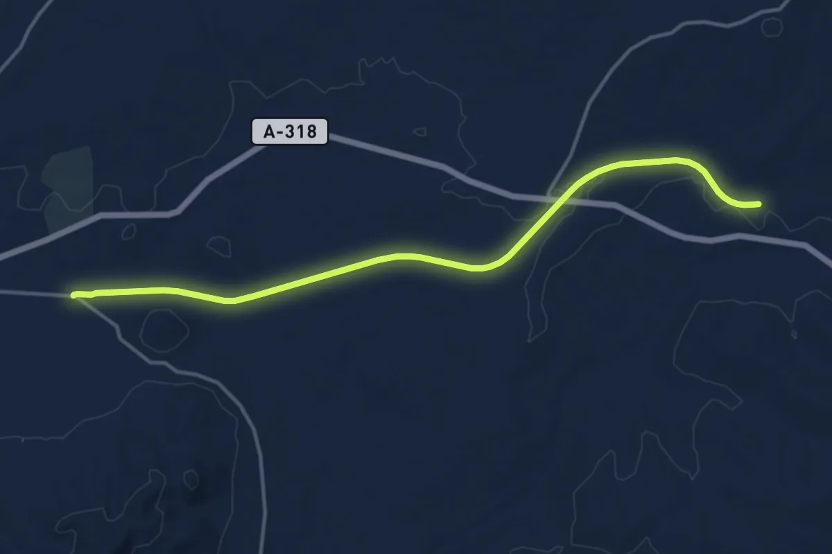
Medium · Trail
Camino Natural Via Verde del Aceite: Moriles a Campo Real
15.8 km · ↑ 55 m · 3 h 52 min
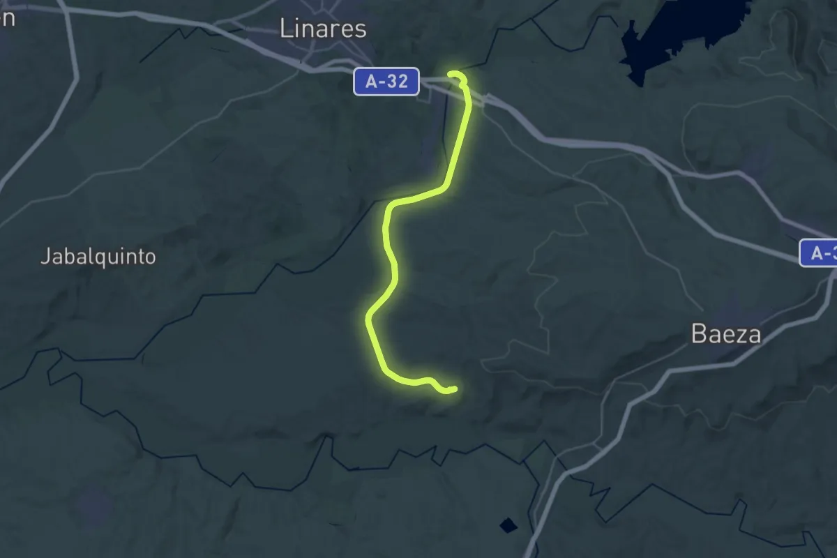
Medium · Trail
Camino Natural Via Verde del Guadalimar
15.9 km · ↑ 285 m · 4 h 32 min
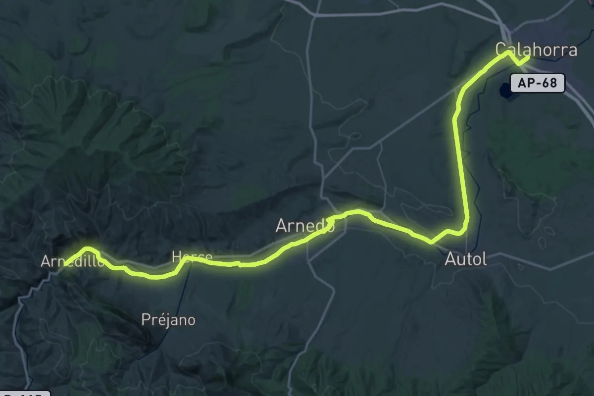
Demanding · Trail
Camino Natural Via Verde del rio Cidacos
33.3 km · ↑ 499 m · 9 h 13 min
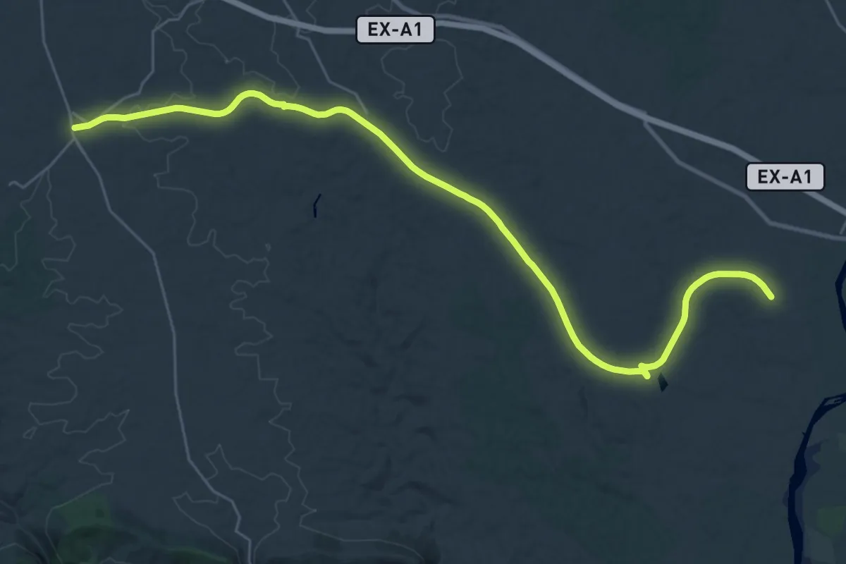
Medium · Trail
Camino Natural Via Verde de Monfragüe
17.6 km · ↑ 60 m · 4 h 36 min
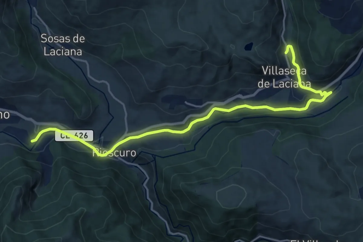
Medium · Trail
Camino Natural Via Verde de Villablino a Vilaseca
15.3 km · ↑ 218 m · 4 h 5 min
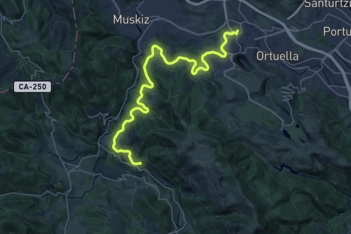
Demanding · Summit
Camino Natural Via Verde Montes de Hierro (tramo de Atxuriaga a Gallarta)
27.4 km · ↑ 666 m · 7 h 55 min
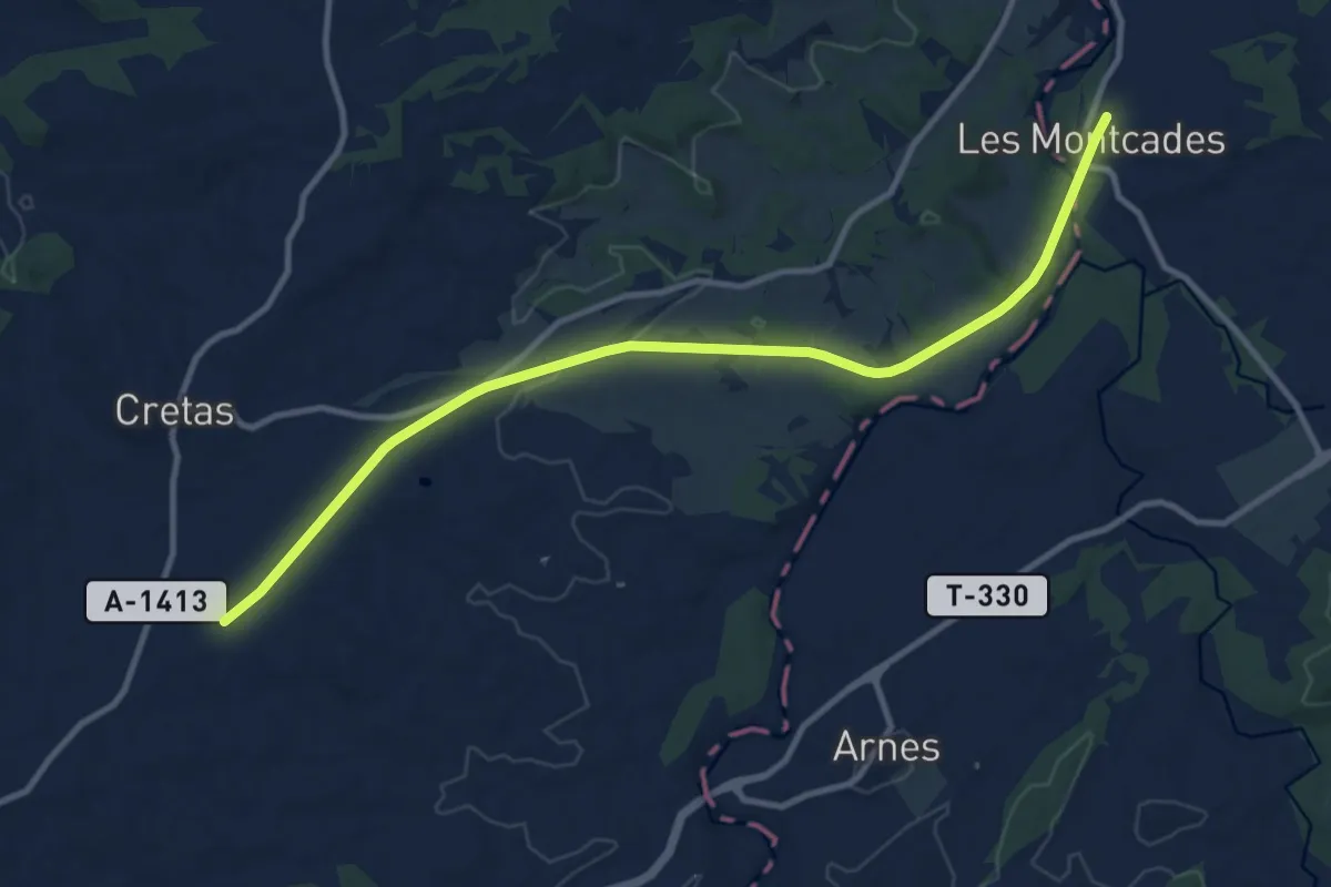
Medium · Trail
Camino Natural Vía Verde Val de Zafán
12.8 km · ↑ 148 m · 3 h 21 min
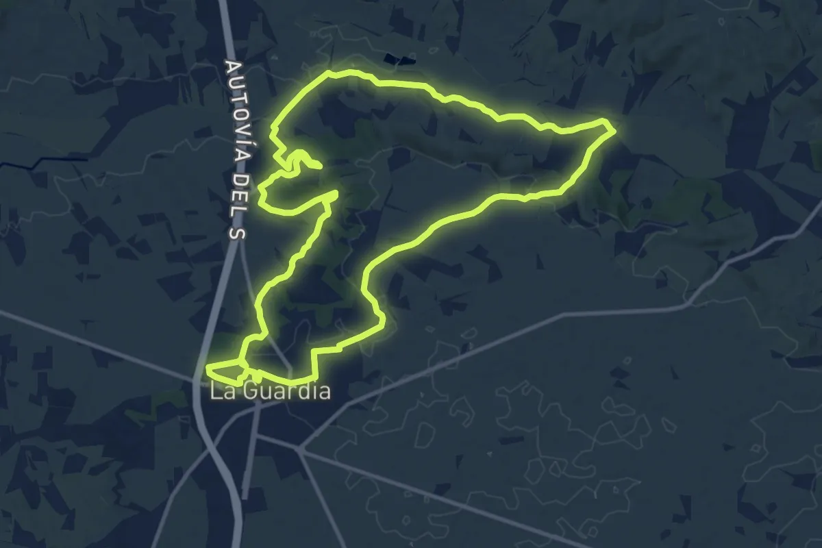
Medium · Trail
Camino Norte de la Laguna-La Guardia
14.0 km · ↑ 242 m · 4 h 2 min
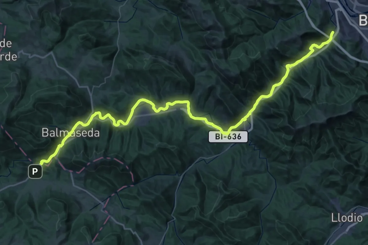
Demanding · Trail
Camino Olvidado (Bilbao-Villasante)
31.5 km · ↑ 265 m · 8 h 31 min
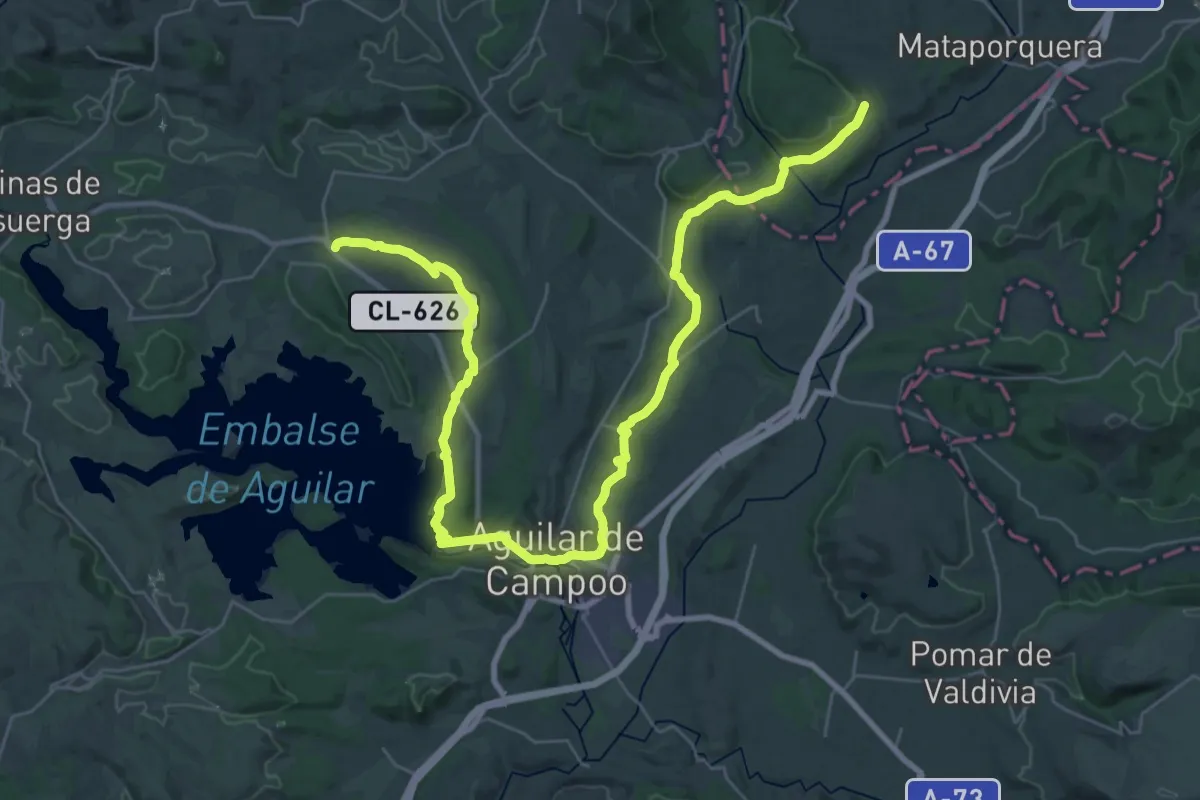
Demanding · Trail
Camino Olvidado (Bimón-Matamorisca)
23.0 km · ↑ 299 m · 6 h 23 min
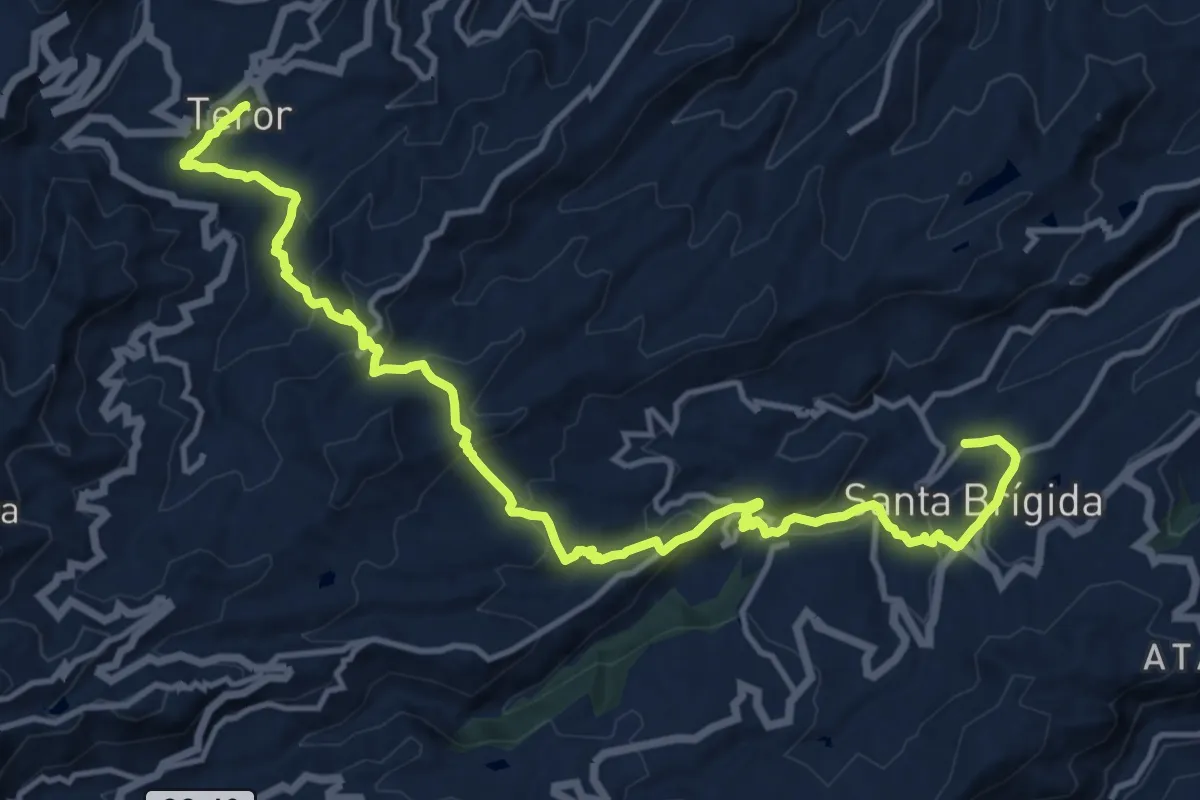
Medium · Pilgrim path
Camino Pál Pino de Santa Brígida a Teror
10.4 km · ↑ 348 m · 3 h 26 min
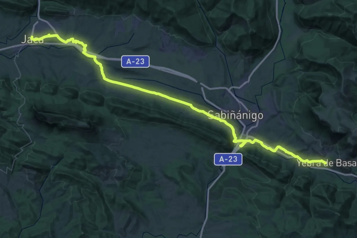
Demanding · Trail
Camino Pastor
29.5 km · ↑ 341 m · 8 h 8 min
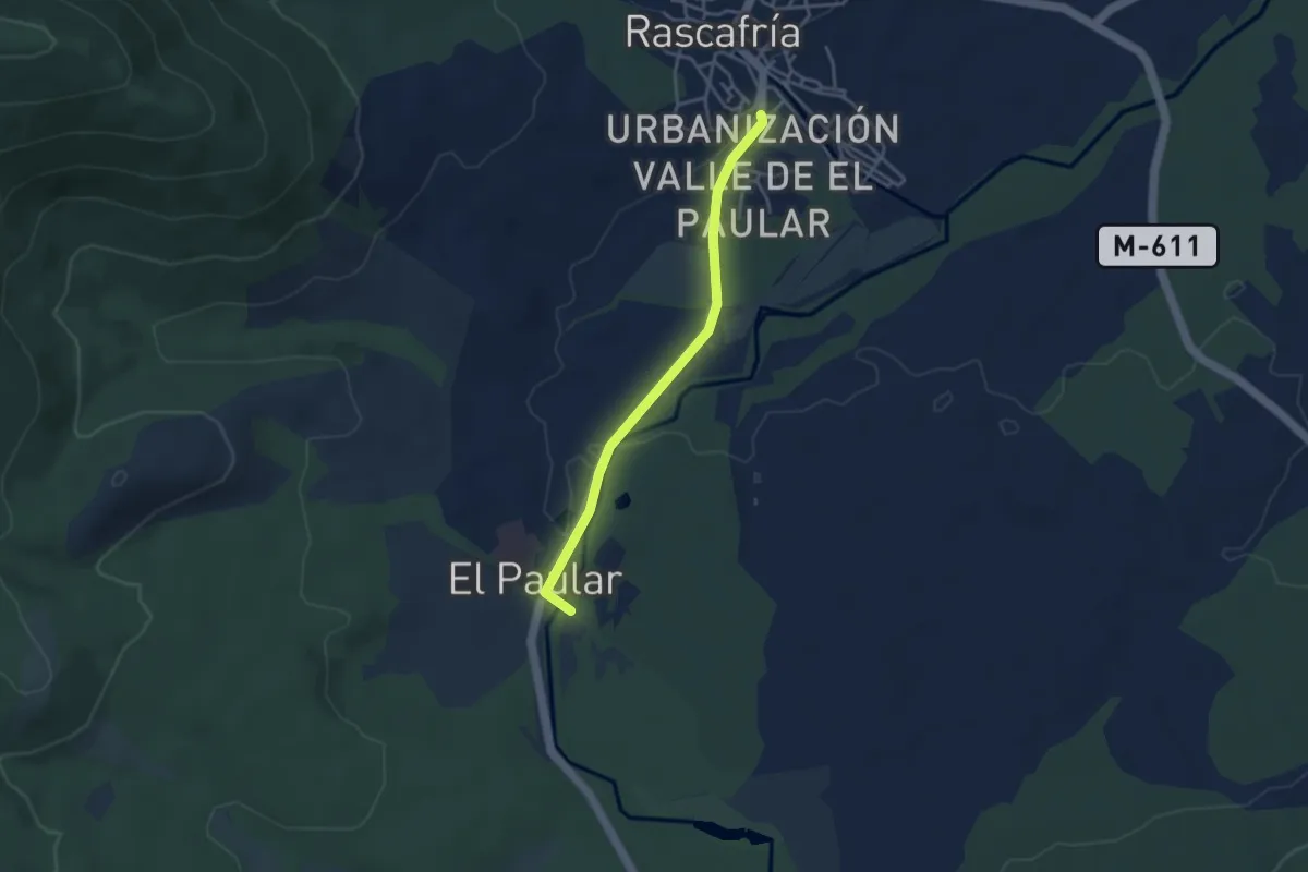
Easy · Trail
Camino peatonal Rascafría - El Paular
3.8 km · ↑ 20 m · 56 min
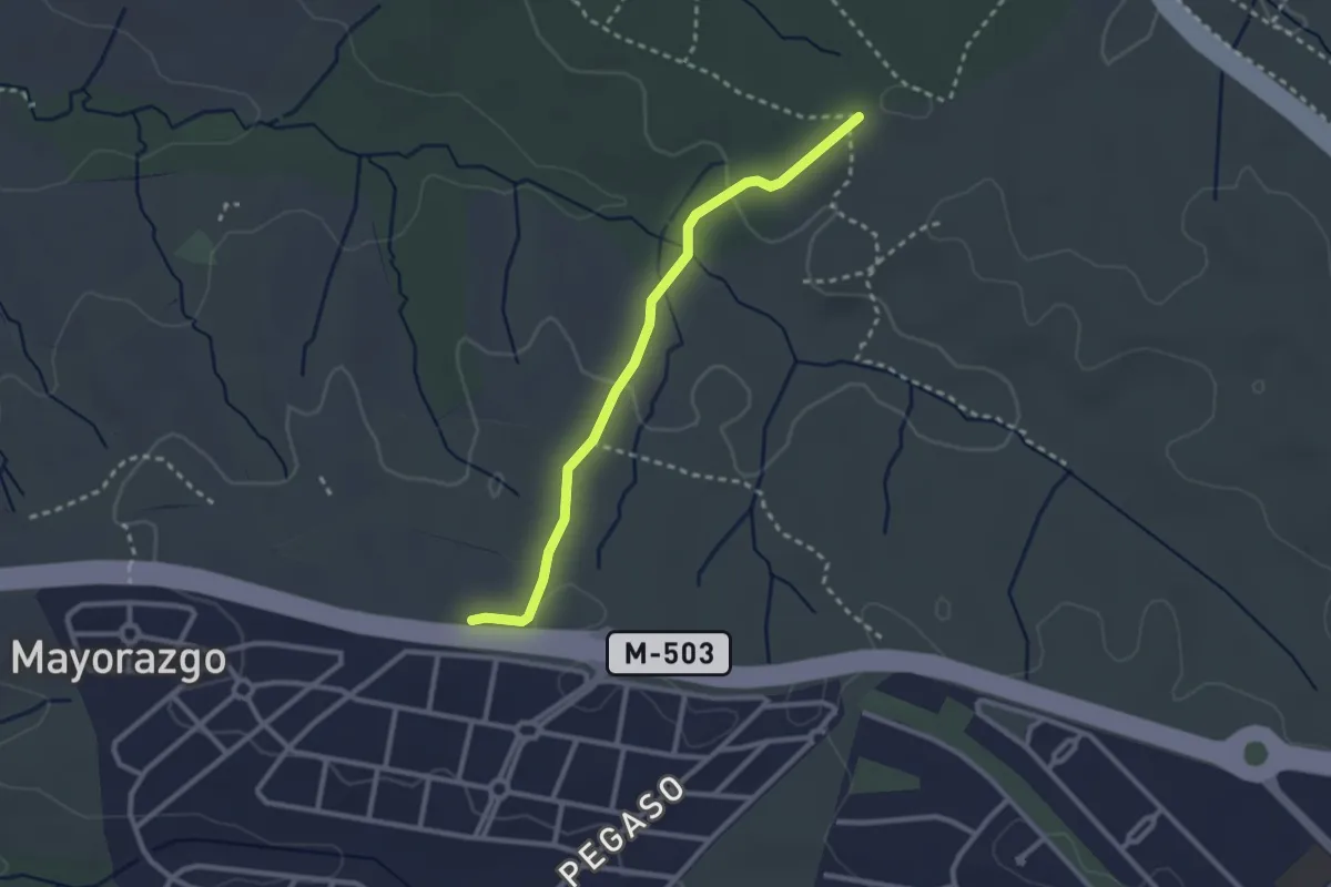
Easy · Trail
Camino Perrera
2.9 km · ↑ 56 m · 48 min
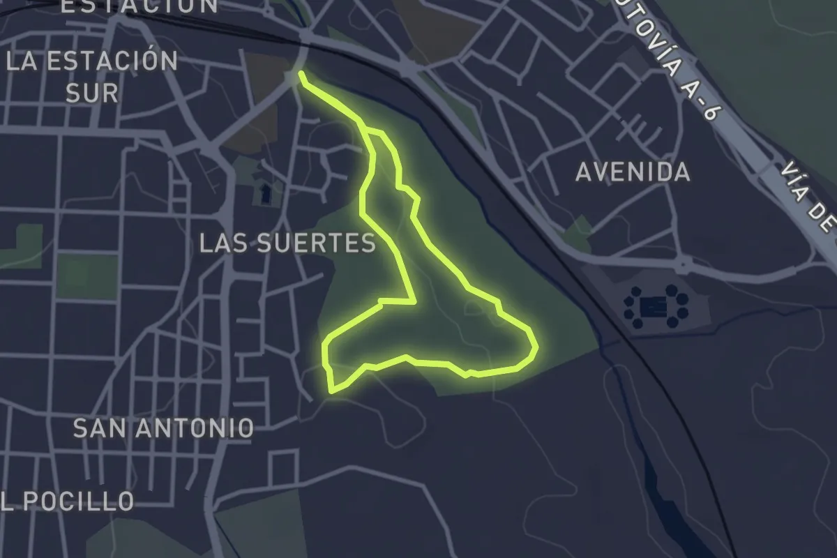
Easy · Trail
Camino por el Coto de las Suertes
2.8 km · ↑ 31 m · 46 min
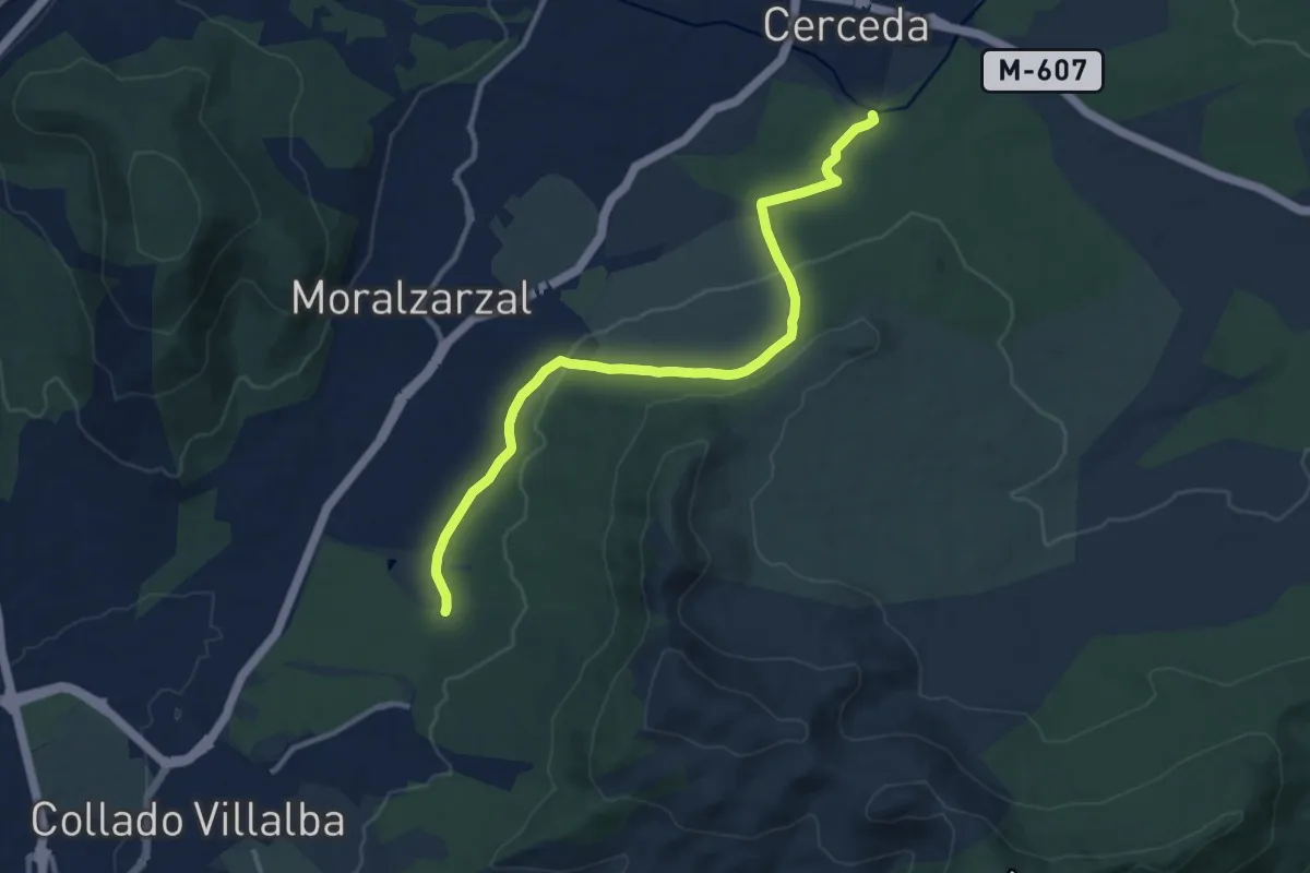
Medium · Trail
Camino por el Señorío del Real de Manzanares
13.1 km · ↑ 289 m · 3 h 43 min
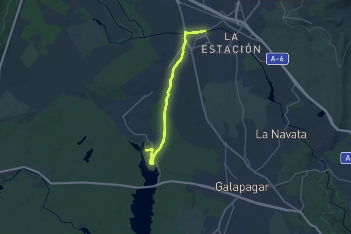
Medium · Trail
Camino por la Cañada Real Segoviana
14.1 km · ↑ 142 m · 3 h 39 min