Trails in Spain
5,963 hiking trails, each with its route, climb, walking time and grade.
All trails, page 22 of 125
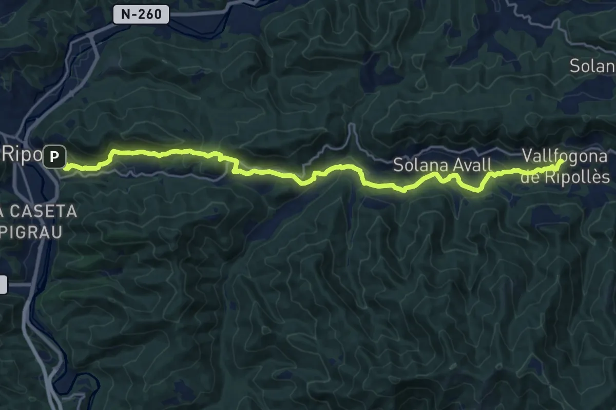
Demanding · Trail
Camí Ral de Vallfogona a Ripoll
21.2 km · ↑ 607 m · 6 h 19 min
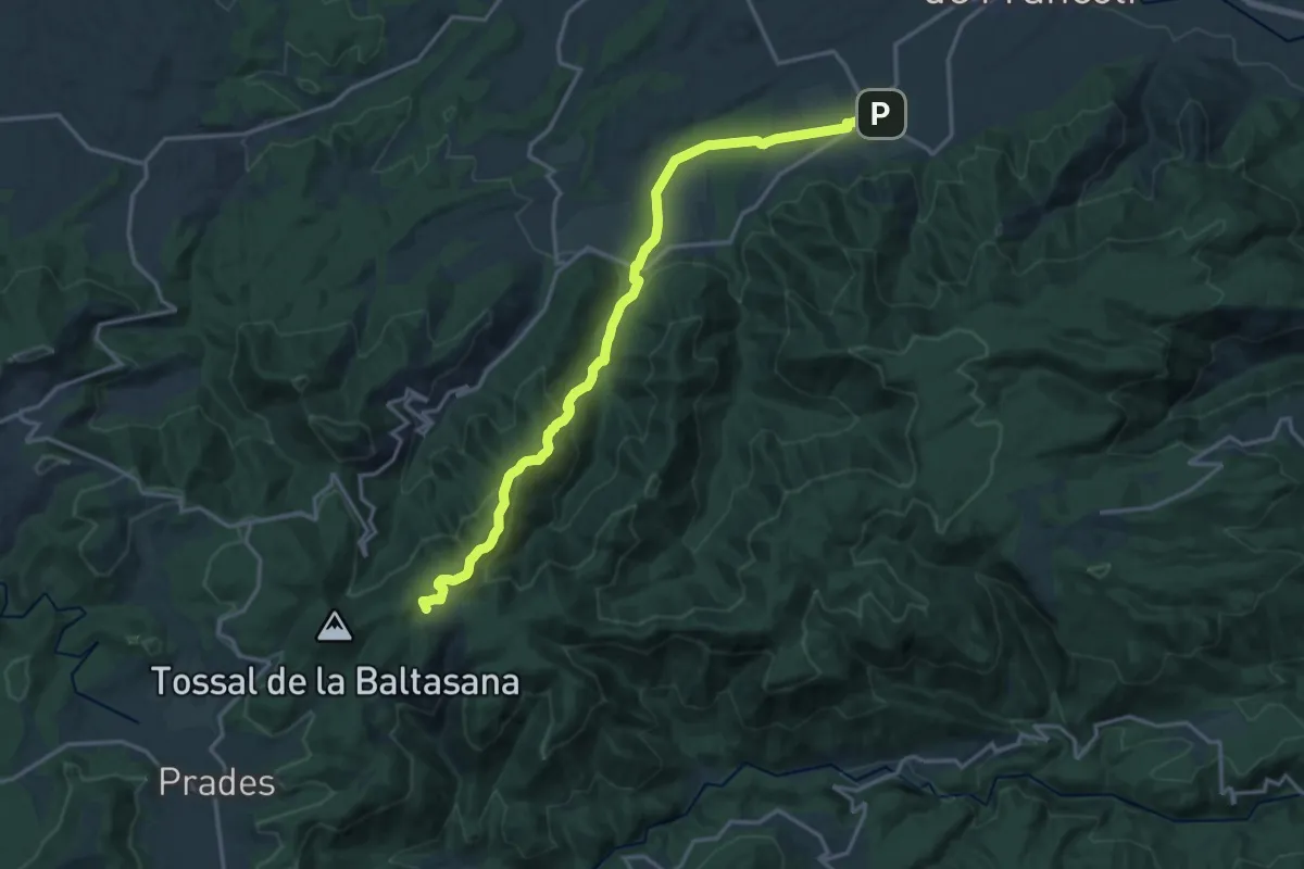
Demanding · Summit
Camí ramader del Monestir de Poblet a Prades
19.1 km · ↑ 707 m · 6 h 3 min
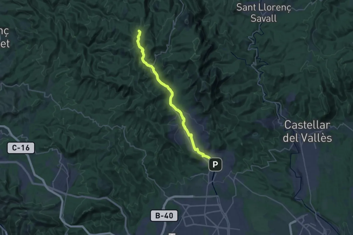
Demanding · Summit
Camí ramader del Vallès
21.0 km · ↑ 583 m · 6 h 13 min
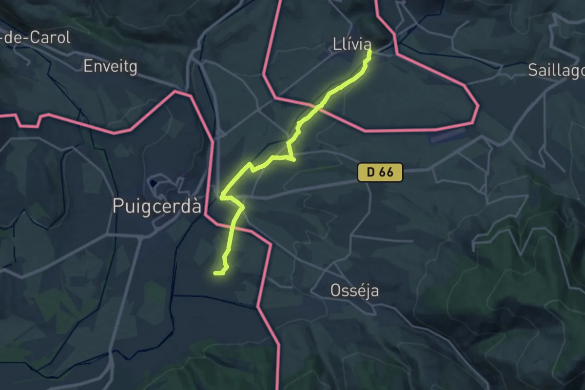
Medium · Trail
Camí Ramader de Marina
15.6 km · ↑ 99 m · 3 h 54 min
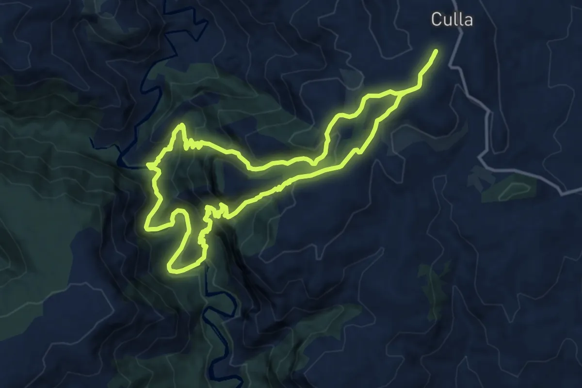
Medium · Trail
Camí Roca Penyacalba
12.6 km · ↑ 735 m · 4 h 45 min
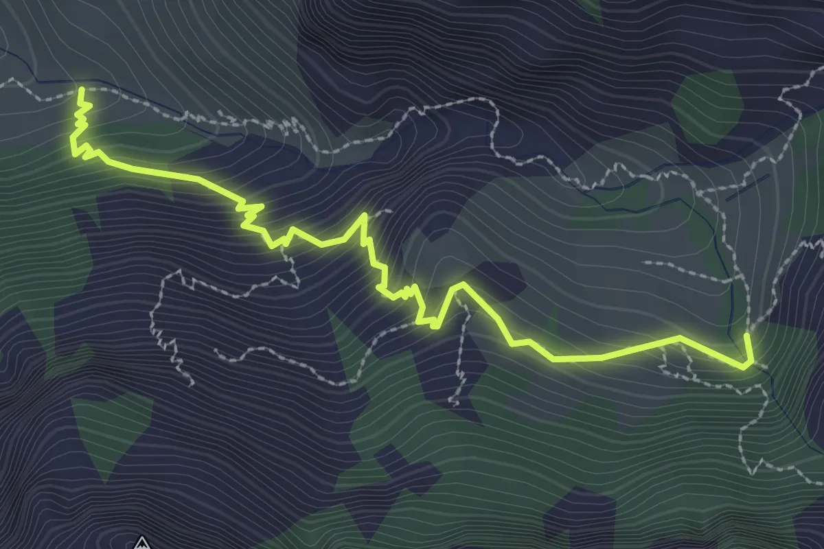
Medium · Cabin
Camí Vell
3.5 km · ↑ 358 m · 1 h 36 min
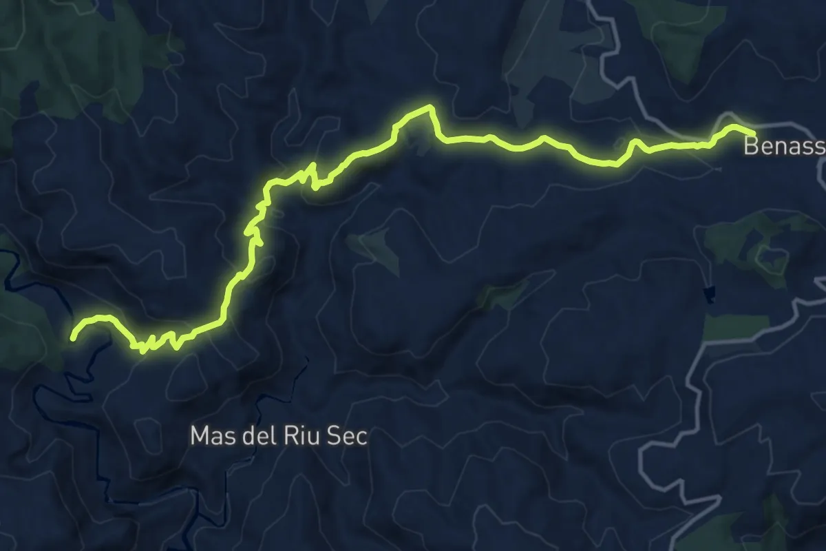
Demanding · Trail
Camí Vell de Benassal a Vistavella (pel Molí del Pas)
18.1 km · ↑ 682 m · 5 h 45 min
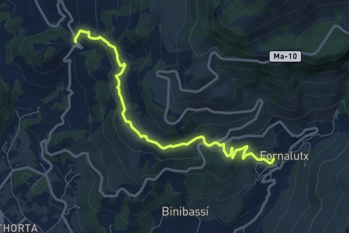
Medium · Trail
Camí vell de Fornalutx a sa Figuera
8.0 km · ↑ 324 m · 2 h 35 min
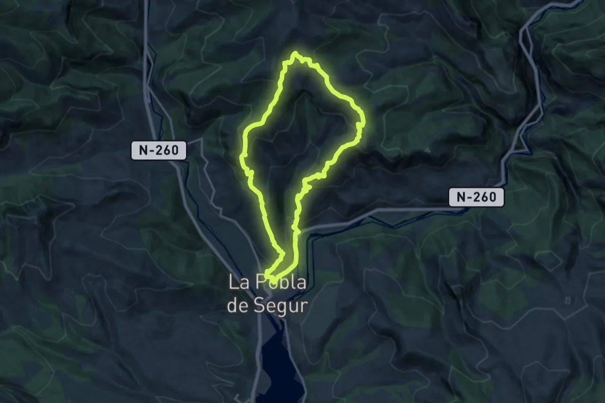
Demanding · Summit
Camí Vell de Montsor
13.9 km · ↑ 826 m · 5 h 16 min
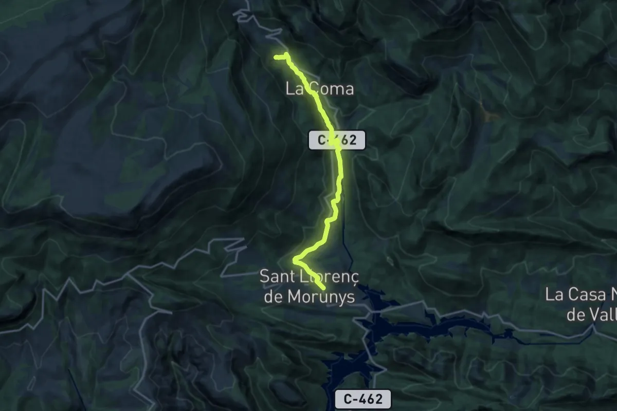
Medium · Trail
Camí verd de la Vall de Lord
14.4 km · ↑ 392 m · 4 h 15 min
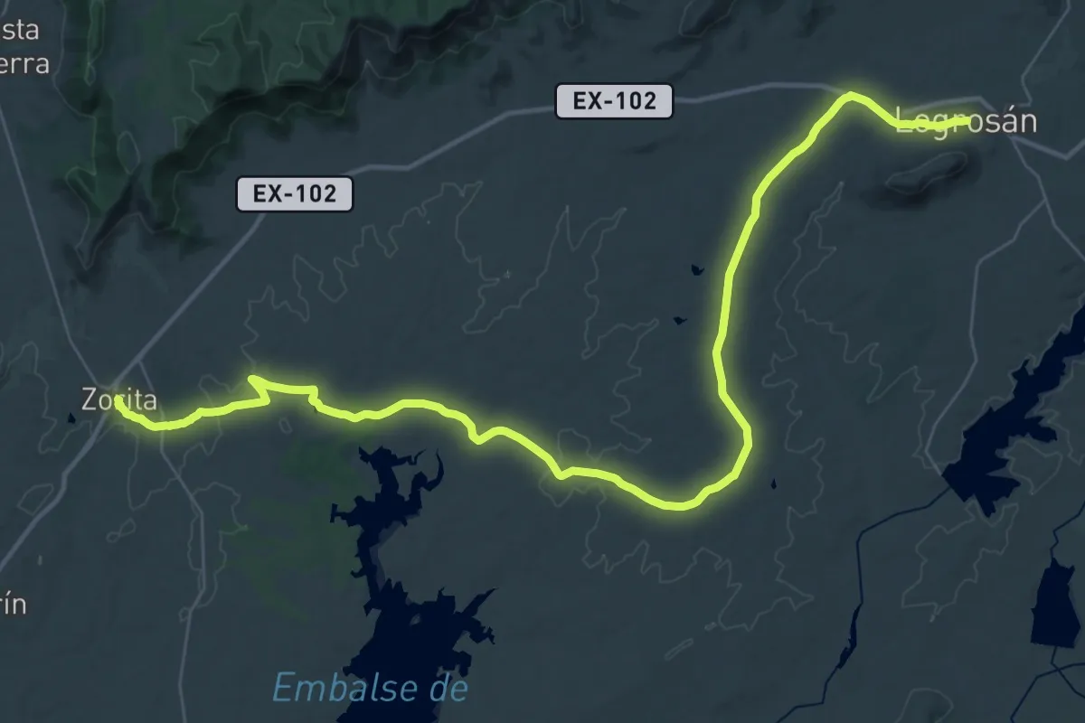
Demanding · Trail
Camnino Visigodo - Etapa 4
27.7 km · ↑ 269 m · 7 h 30 min
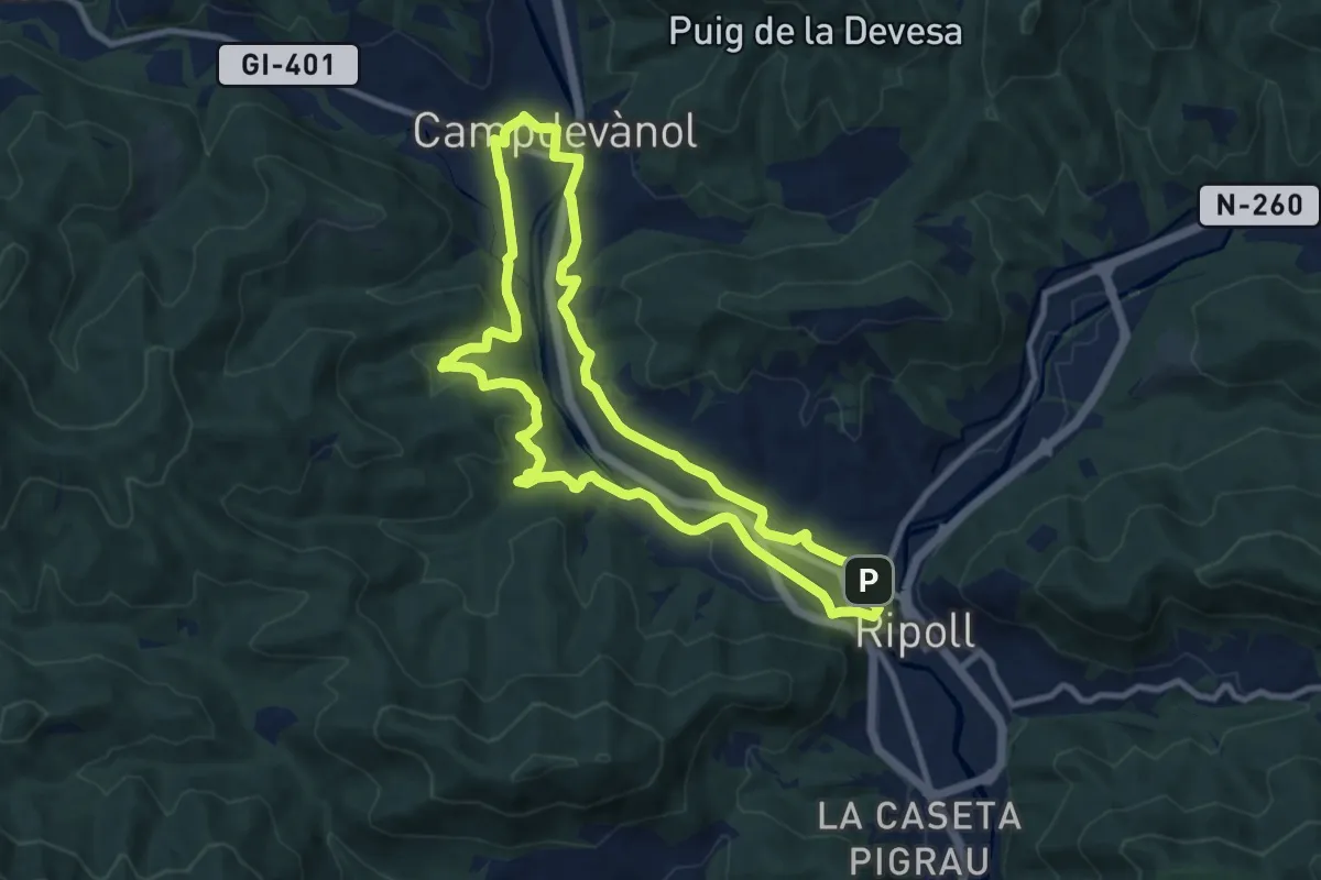
Medium · Trail
Campdevànol-Ripoll pel camí ral
9.9 km · ↑ 197 m · 2 h 55 min
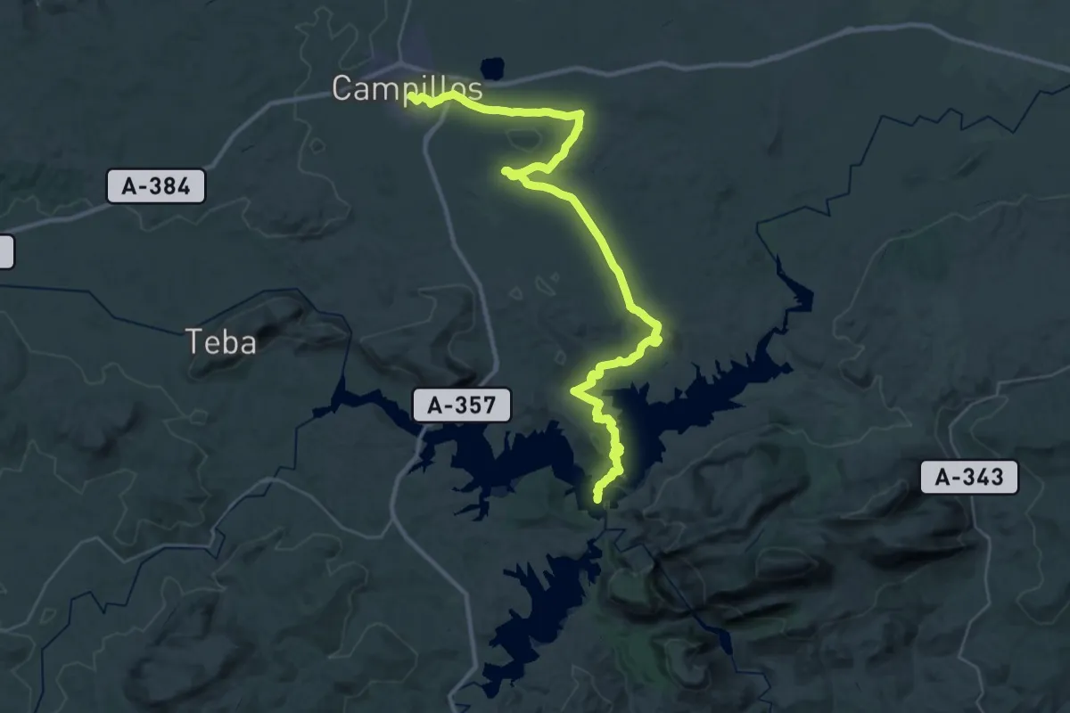
Demanding · Trail
Campillos - Embalses del Guadalhorce
23.5 km · ↑ 270 m · 6 h 31 min
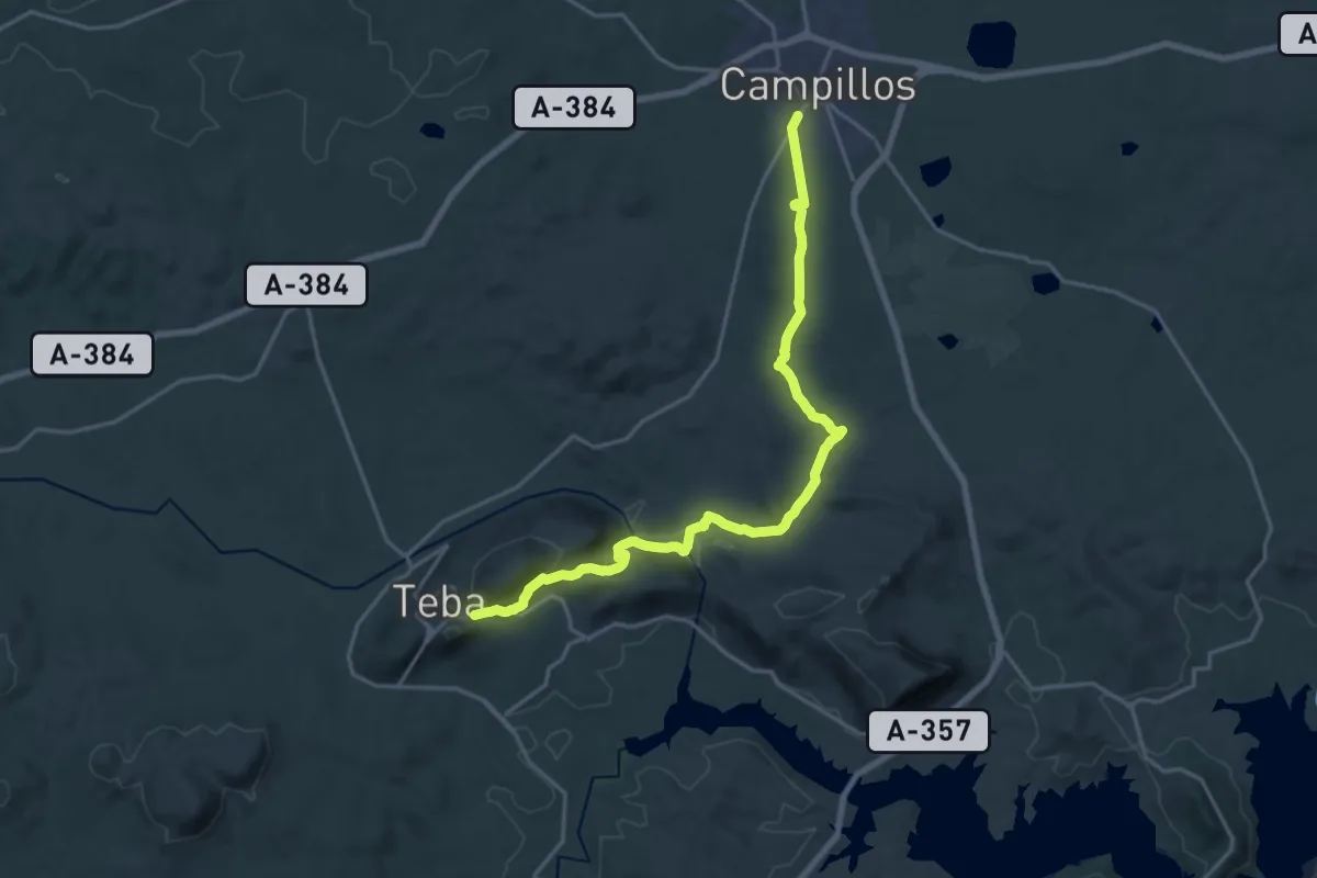
Demanding · Trail
Campillos - Teba
24.2 km · ↑ 344 m · 6 h 28 min
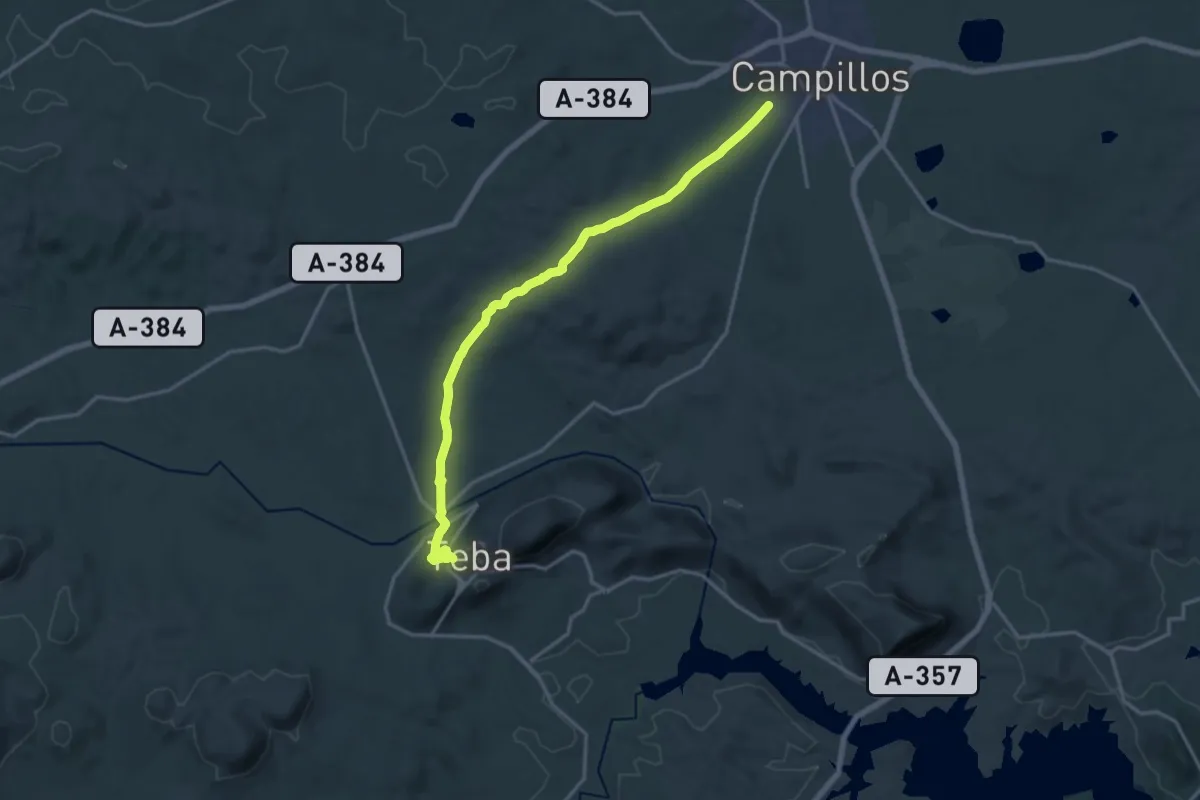
Demanding · Trail
Campillos - Teba
20.3 km · ↑ 306 m · 5 h 27 min
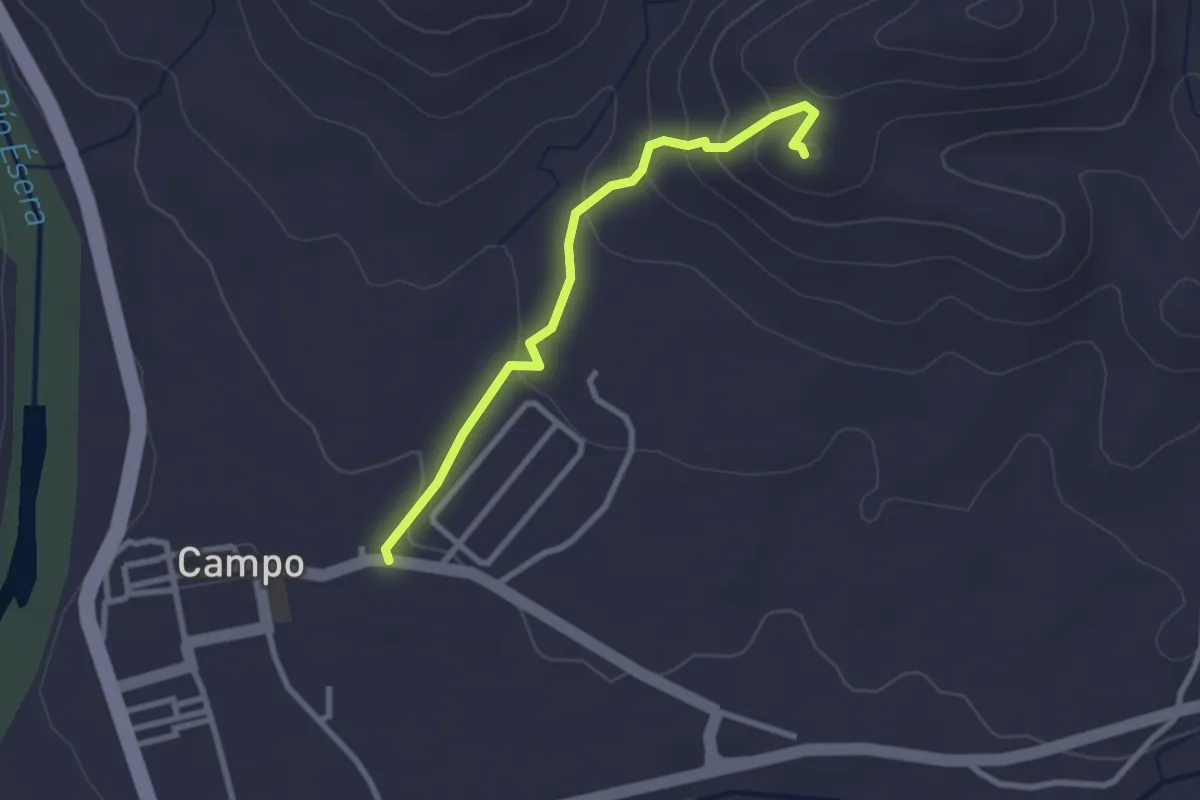
Easy · Trail
Campo - Castell de Sin
2.8 km · ↑ 140 m · 58 min
Medium · Summit
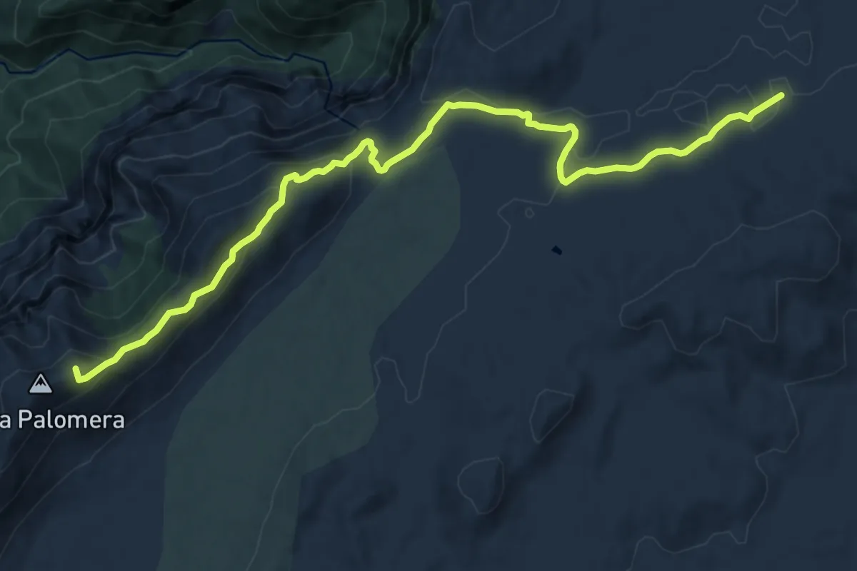
Campo del Espino - Banderillas
15.1 km · ↑ 366 m · 4 h 21 min
Demanding · Trail
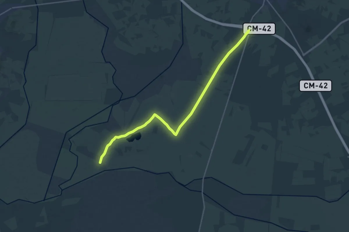
Campo eólico de San Juan
20.3 km · ↑ 38 m · 4 h 53 min
Demanding · Trail
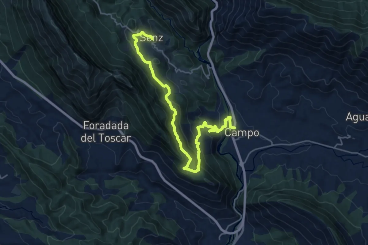
Campo - Foradada del Toscar - Senz
19.0 km · ↑ 1032 m · 6 h 43 min
Demanding · Trail
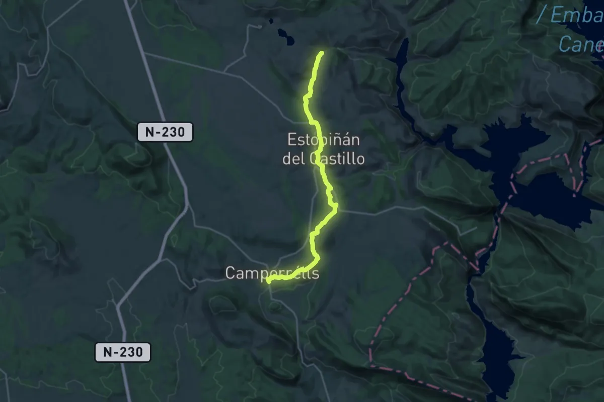
Camporrells - Estopiñán
20.4 km · ↑ 427 m · 5 h 45 min
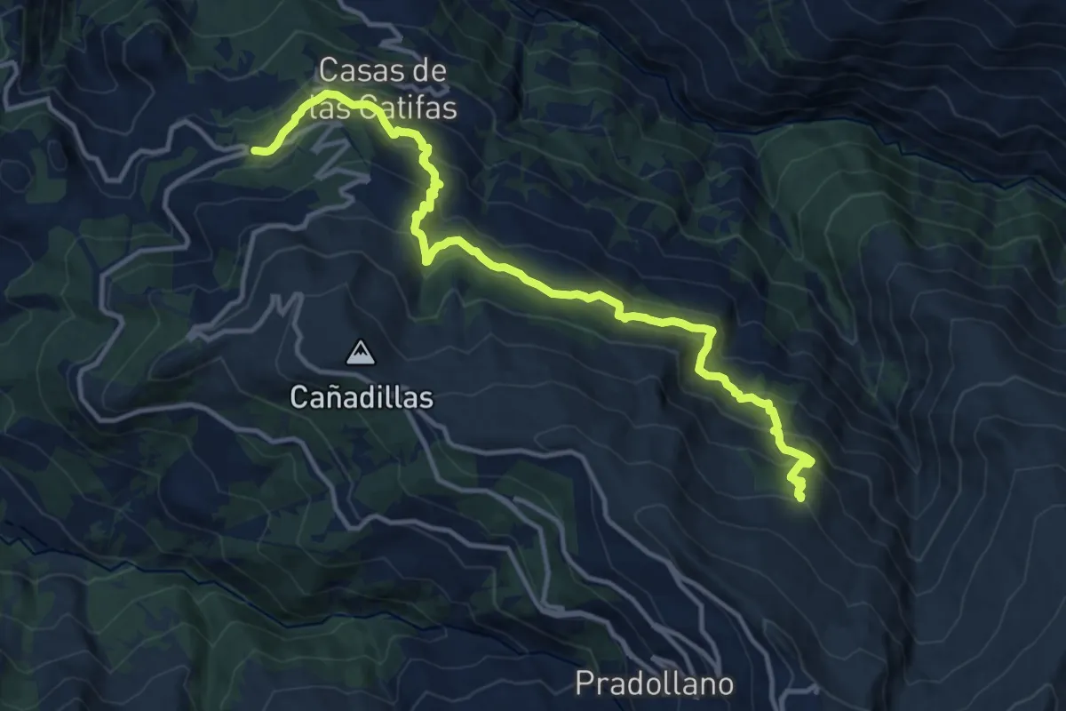
Demanding · Cabin
Campos de Otero
16.1 km · ↑ 977 m · 5 h 54 min
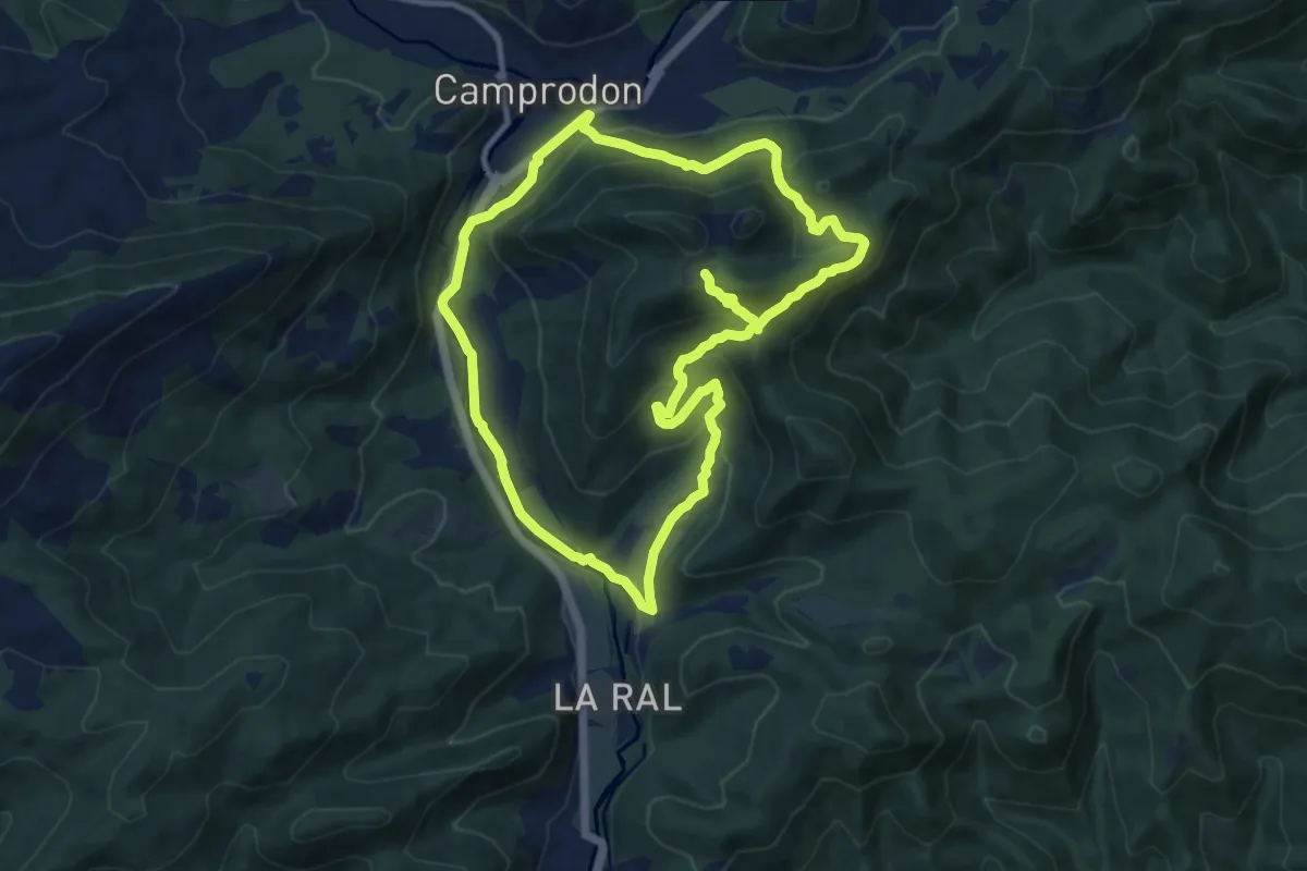
Medium · Summit
Camprodon, la muntanya de Sant Antoni i el Santuari del Remei
11.5 km · ↑ 510 m · 3 h 59 min
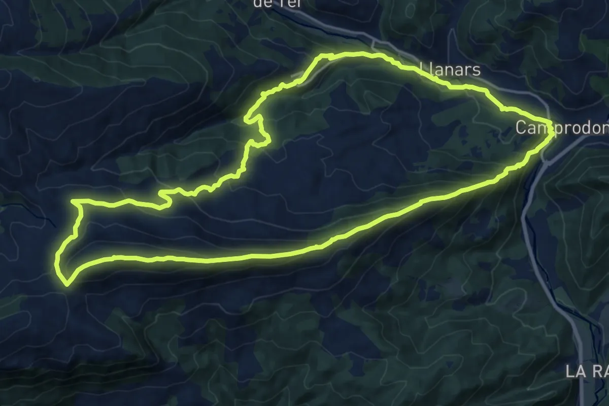
Demanding · Summit
Camprodon ruta per la carena de Serra Cavallera
20.4 km · ↑ 1098 m · 7 h 28 min
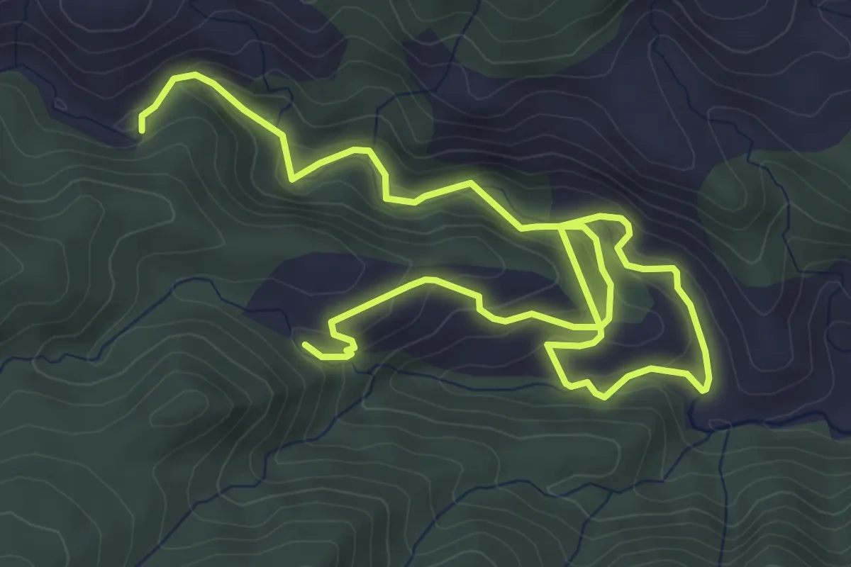
Easy · Trail
Camuza - Gola de Lucino
4.5 km · ↑ 181 m · 1 h 32 min
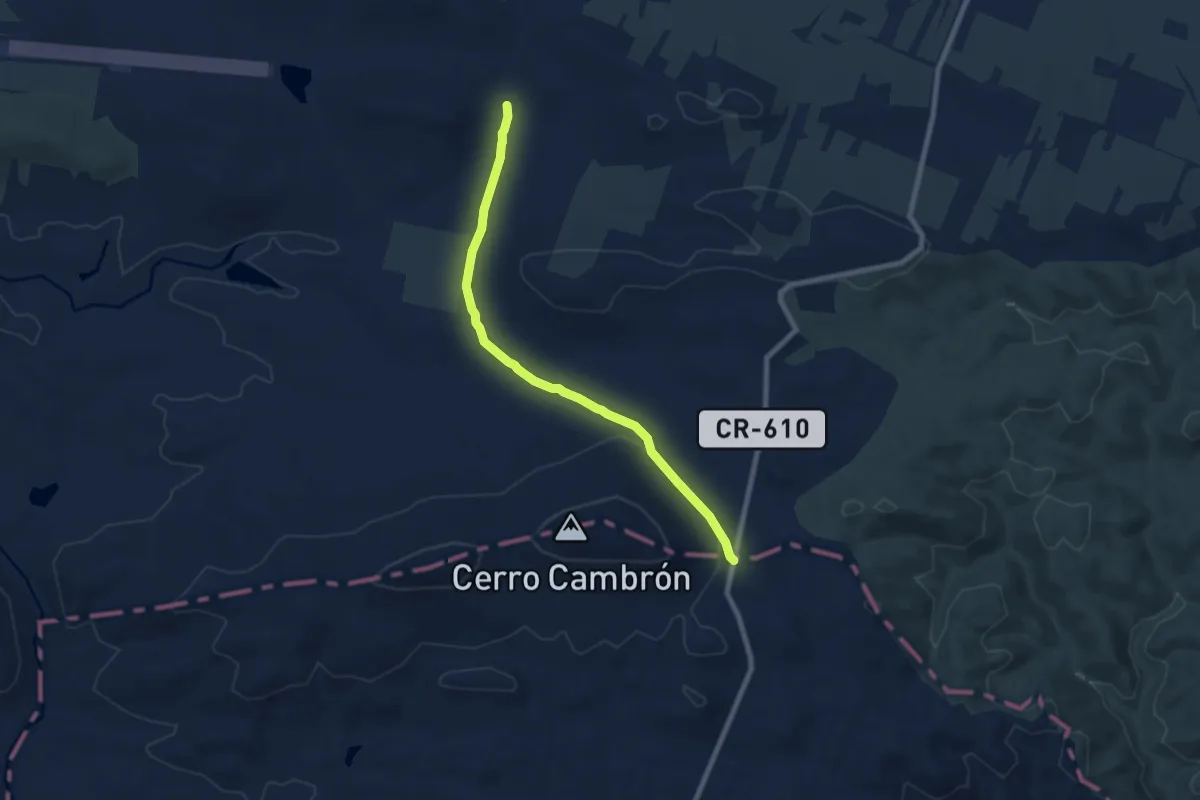
Medium · Trail
Cañada Conquense o De Los Serranos
8.9 km · ↑ 138 m · 2 h 24 min
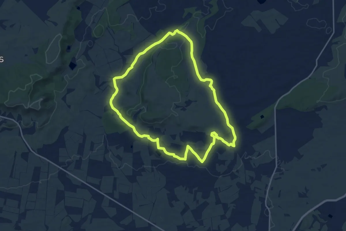
Medium · Trail
Cañada de la Plata y Cotico
15.2 km · ↑ 168 m · 4 h 10 min
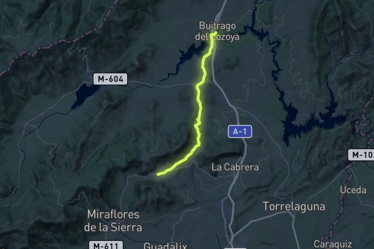
Demanding · Trail
Cañada de las Merinas
20.0 km · ↑ 539 m · 6 h 3 min
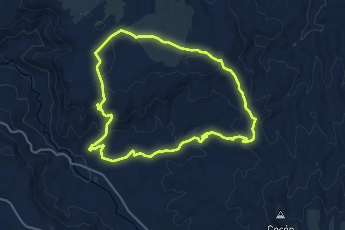
Medium · Trail
Cañada de la Ventanilla-Campillos
8.4 km · ↑ 175 m · 2 h 28 min
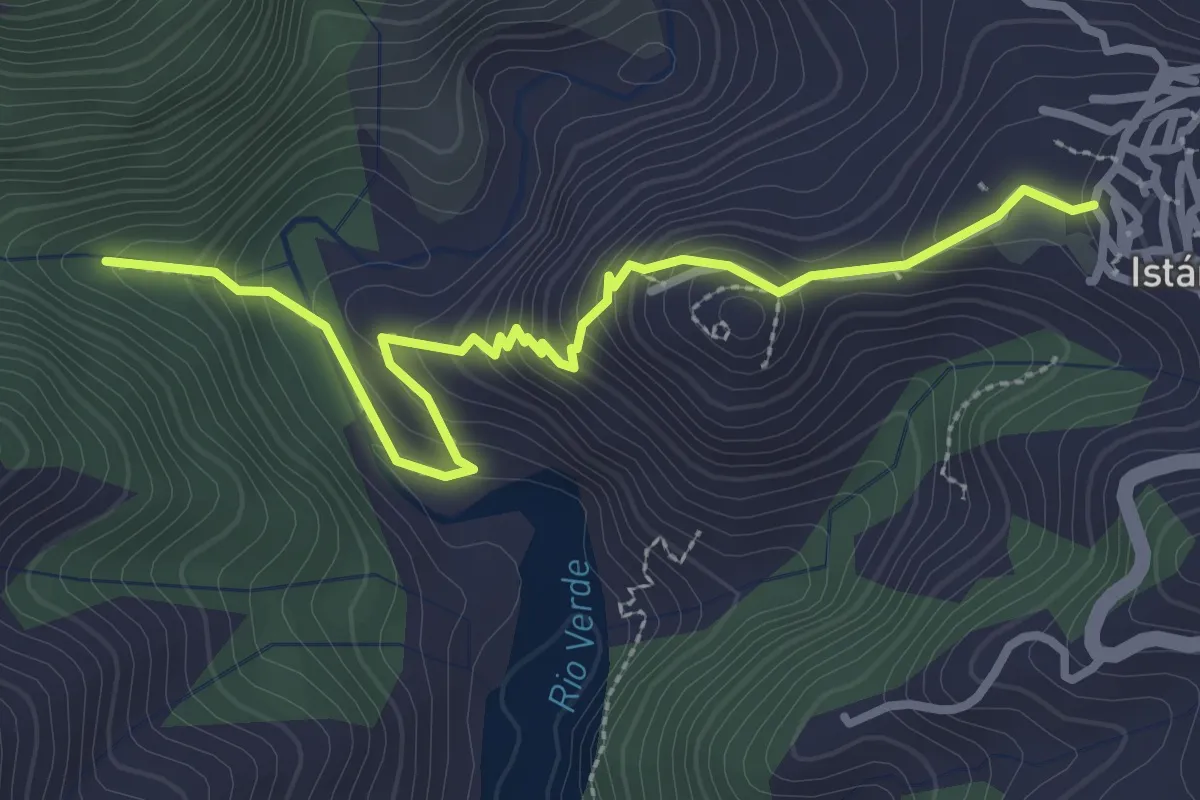
Easy · Trail
Cañada de los Laureles
3.8 km · ↑ 244 m · 1 h 25 min
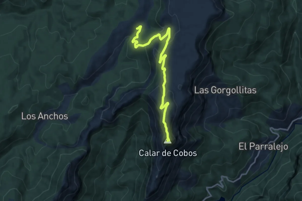
Medium · Summit
Cañada del Saucar - Puntal de la Misa
11.6 km · ↑ 468 m · 3 h 46 min
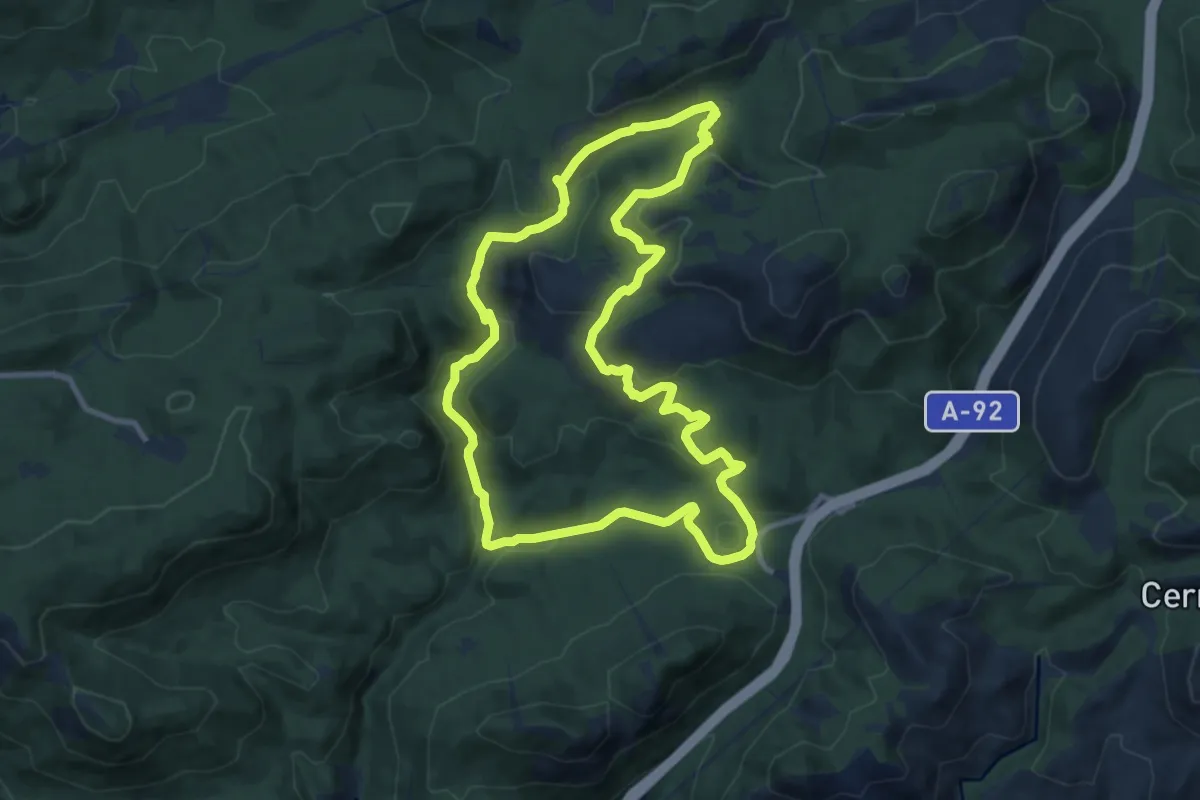
Medium · Summit
Cañada del Sereno
11.4 km · ↑ 358 m · 3 h 37 min
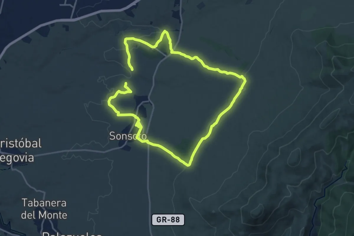
Demanding · Trail
Cañada Real
25.0 km · ↑ 314 m · 6 h 34 min
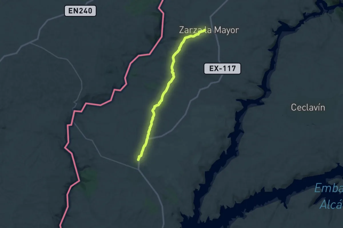
Demanding · Trail
Cañada Real de Gata
25.0 km · ↑ 381 m · 6 h 43 min
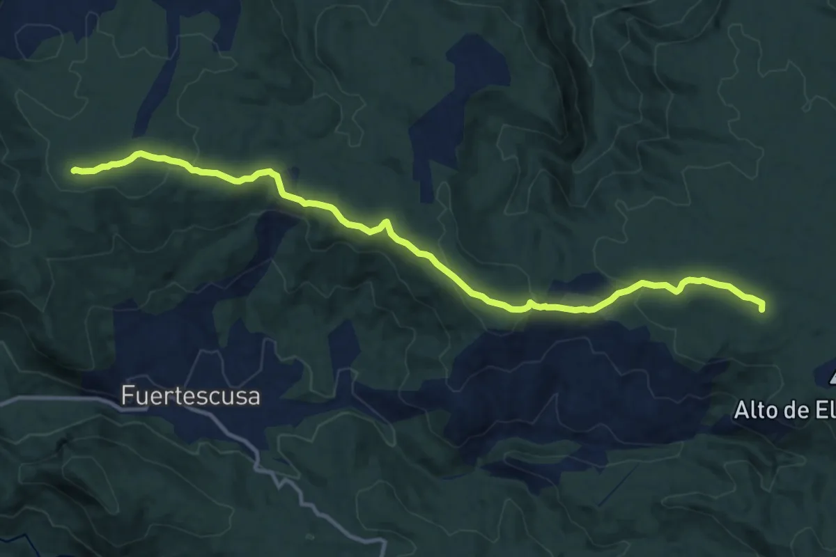
Medium · Summit
Cañada Real de la Sierra
13.8 km · ↑ 338 m · 3 h 59 min
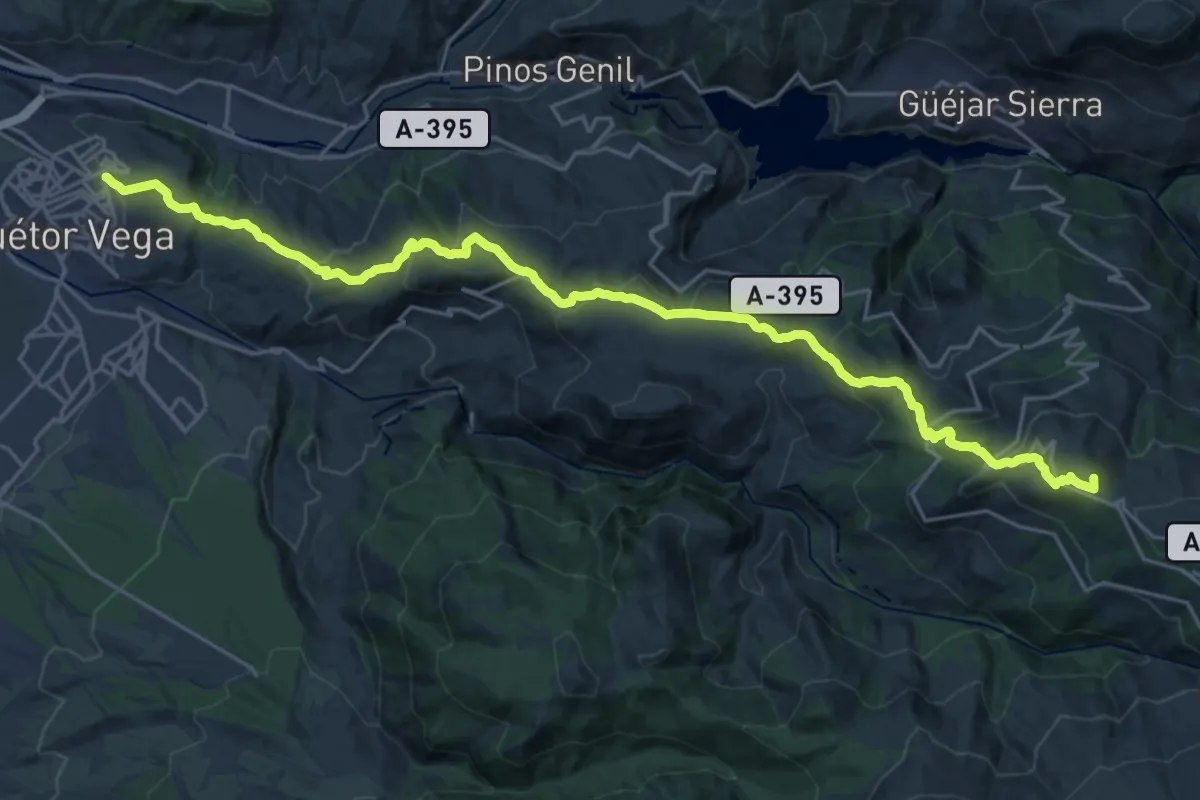
Demanding · Summit
Cañada Real de los Neveros
31.3 km · ↑ 1616 m · 10 h 53 min
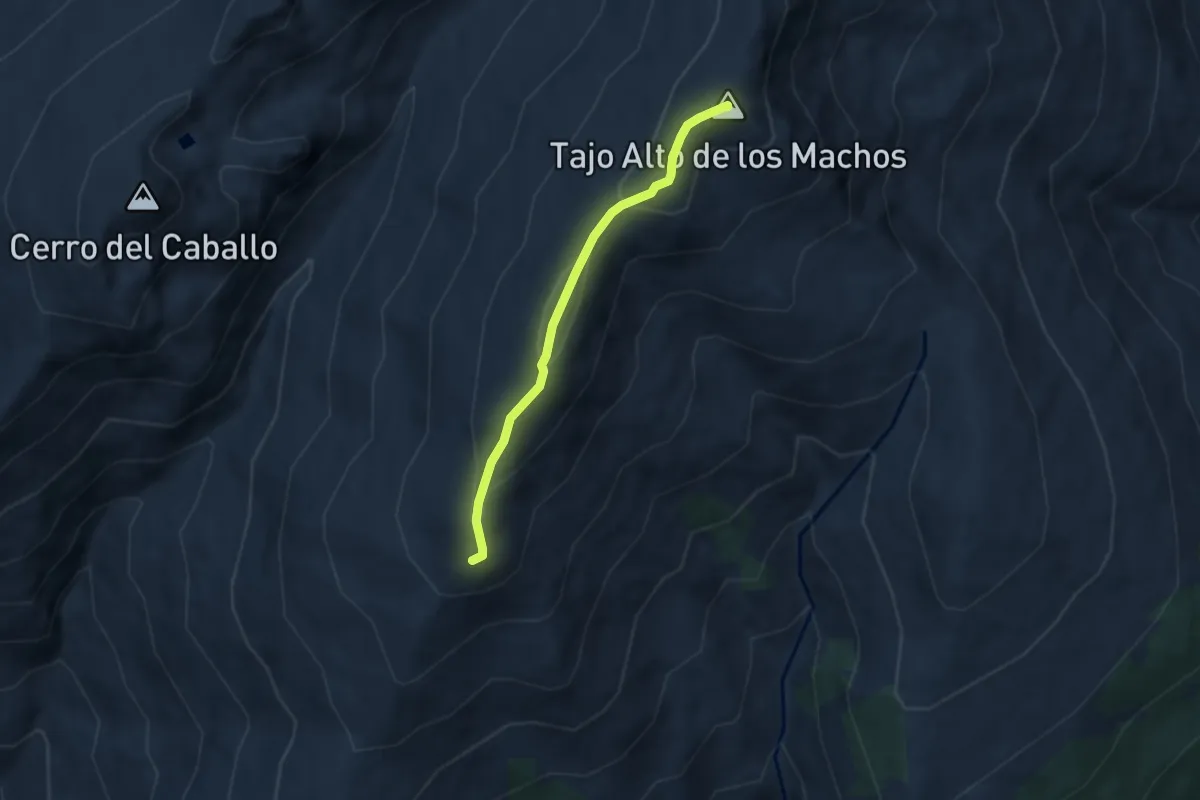
Easy · Summit
Cañada Real de Sierra Nevada
5.8 km · ↑ 254 m · 1 h 55 min
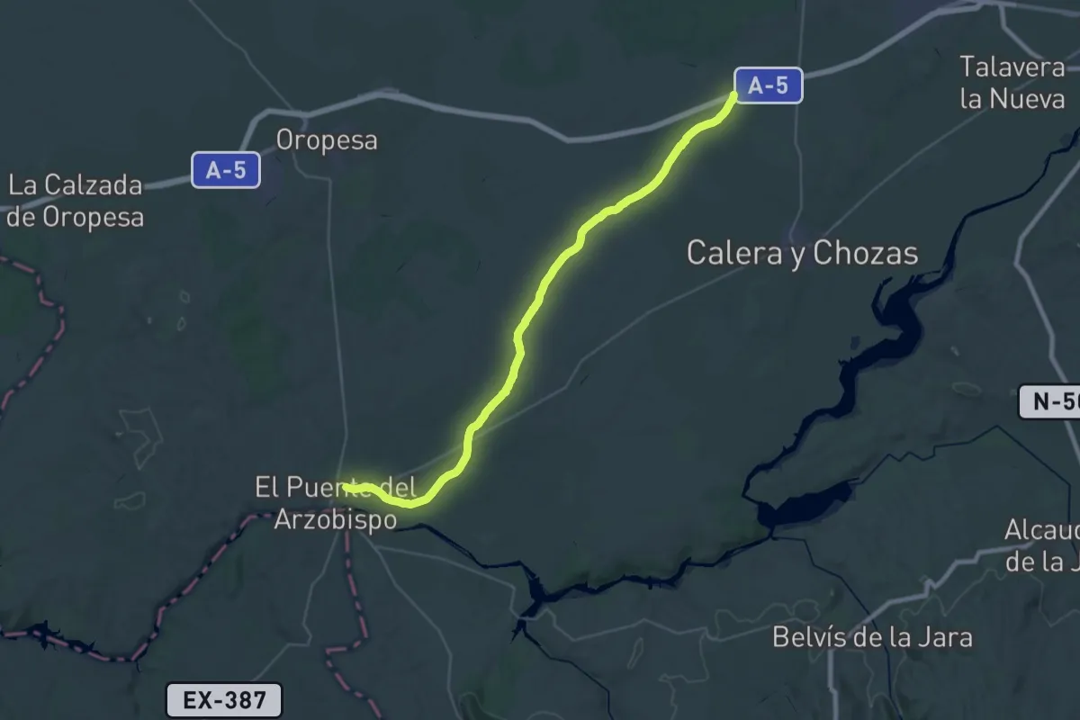
Demanding · Trail
Cañada Real Leonesa Oriental
22.1 km · ↑ 74 m · 5 h 43 min
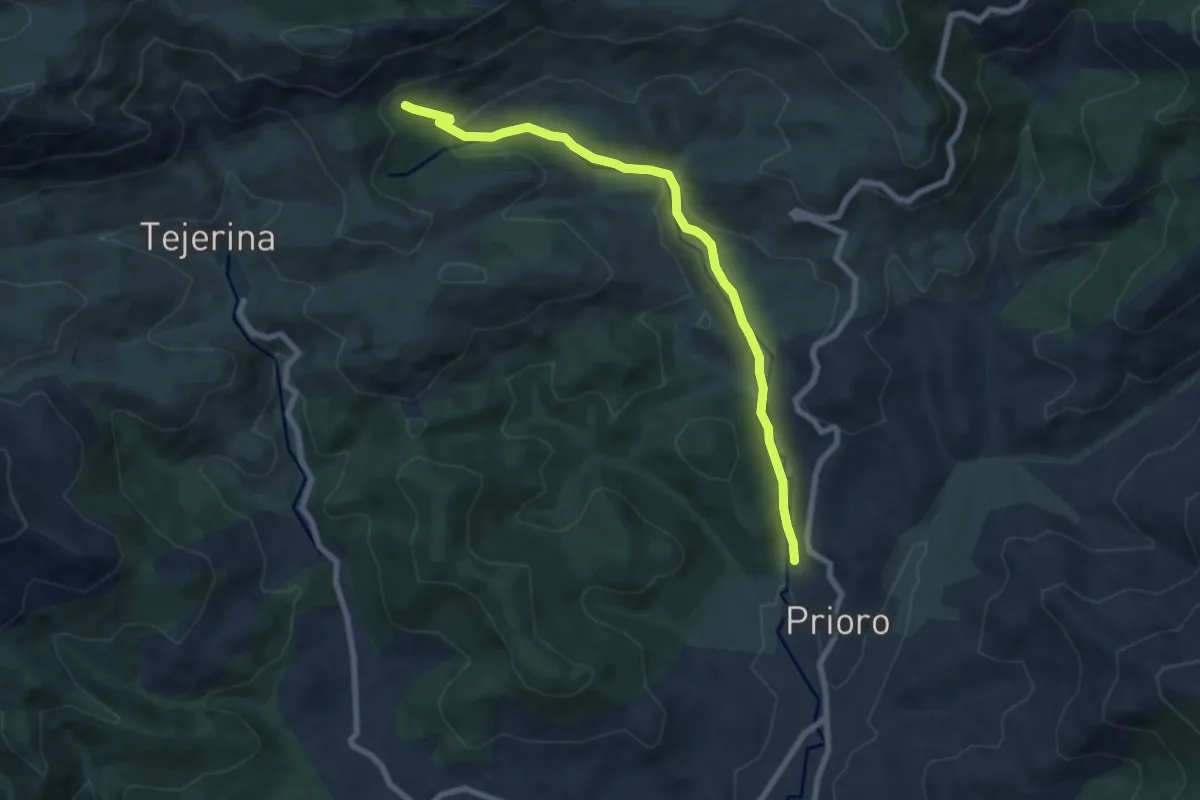
Medium · Cabin
Cañada Real Leonesa Oriental
8.1 km · ↑ 315 m · 2 h 35 min
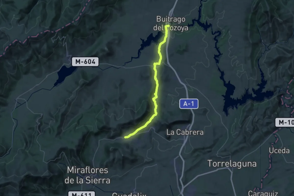
Demanding · Trail
Cañada Real Segoviana
19.9 km · ↑ 542 m · 6 h 2 min
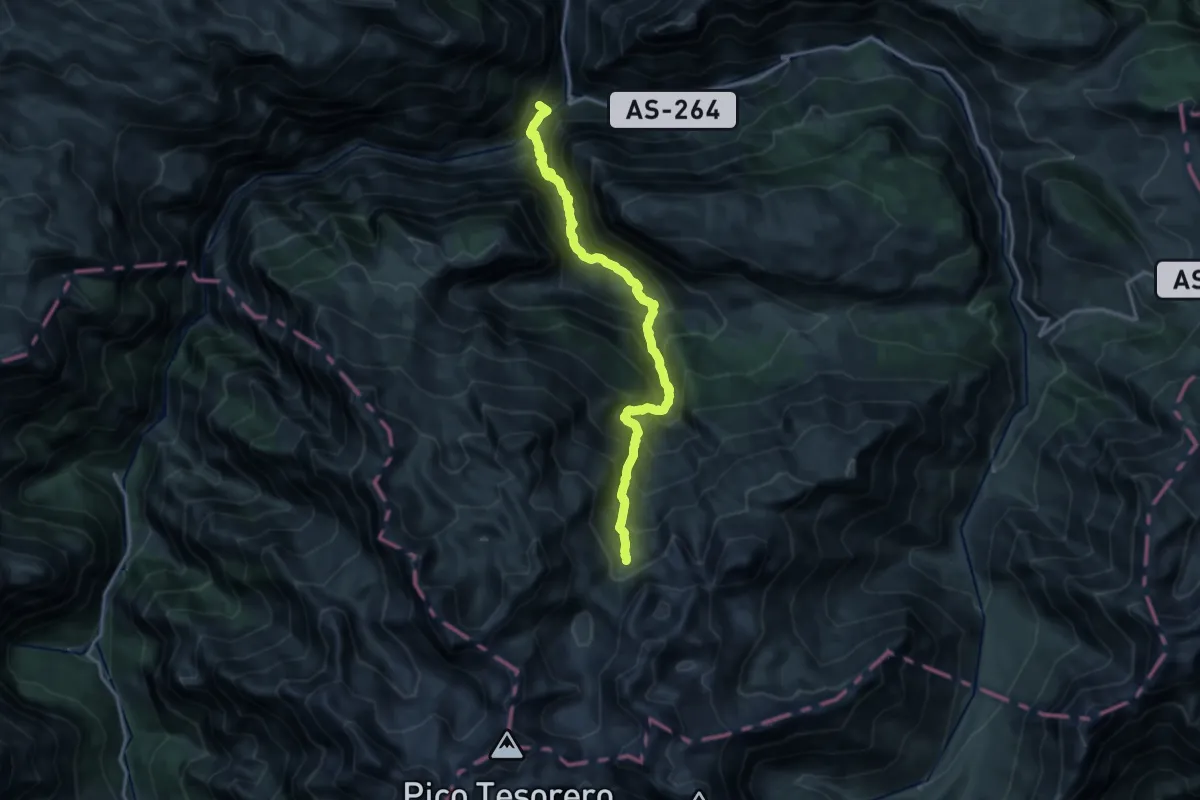
Demanding · Summit
Canal de Camburero
16.7 km · ↑ 2070 m · 8 h 26 min
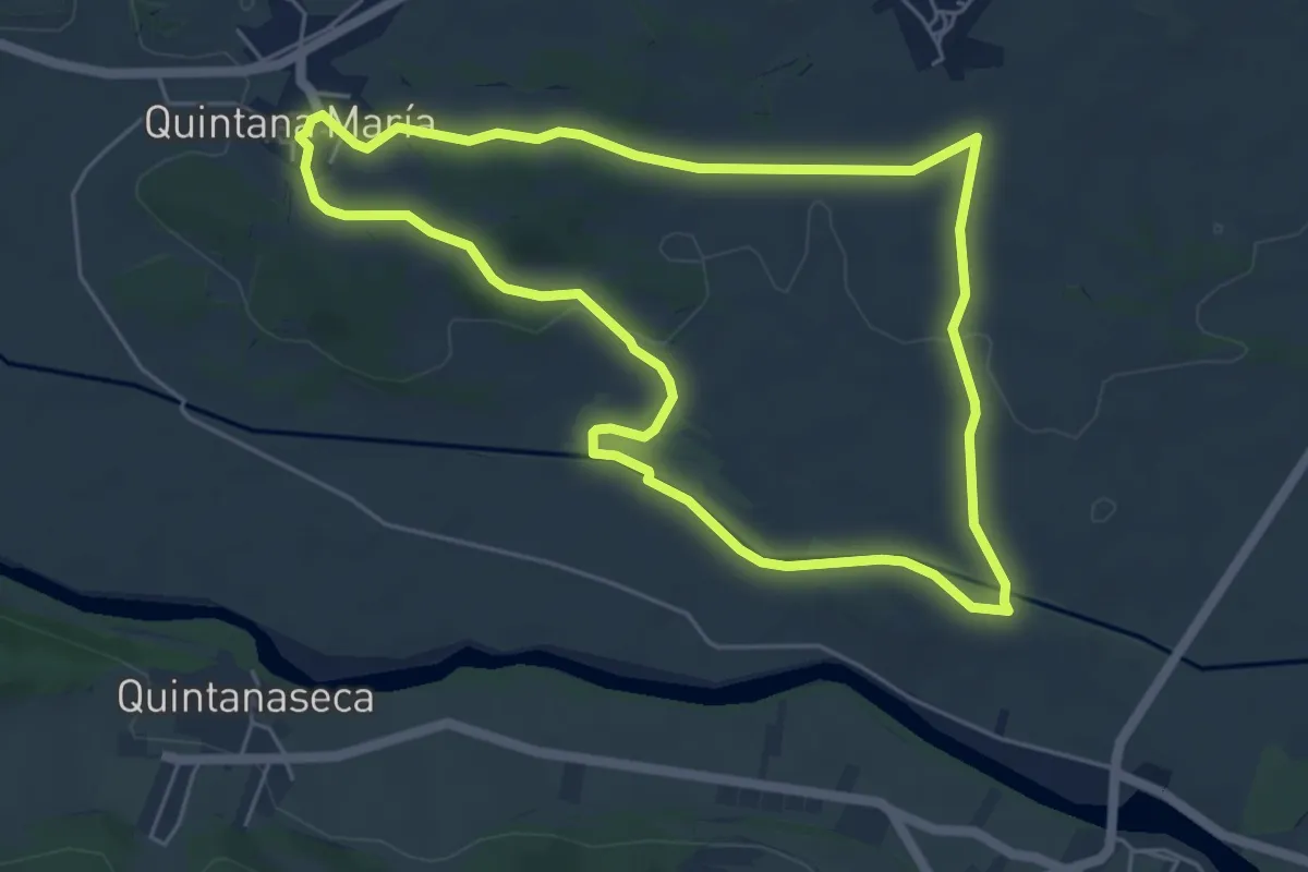
Easy · Summit
Canal de Fontecha
5.9 km · ↑ 70 m · 1 h 37 min
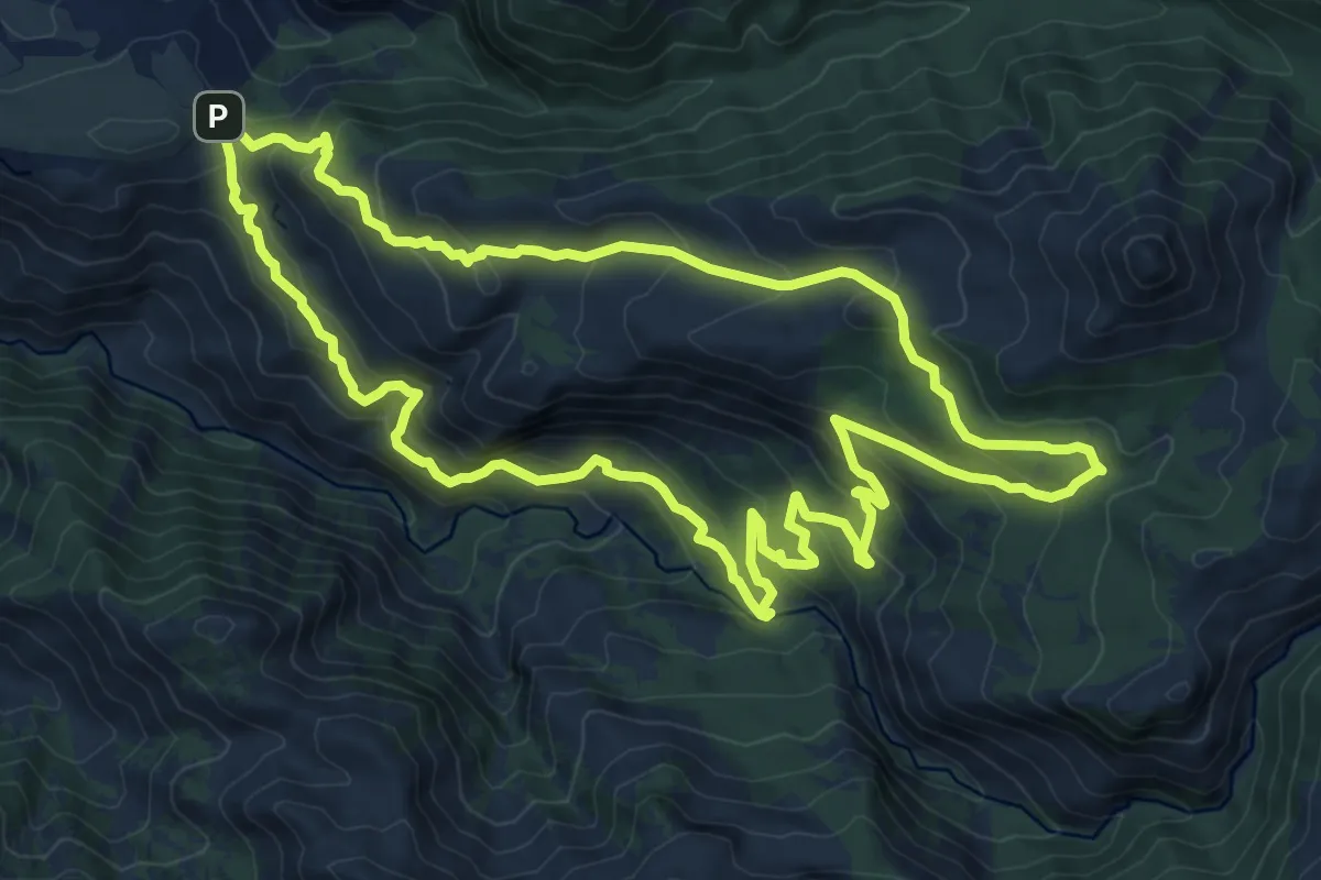
Medium · Trail
Canal de la Espartera - Arenales del Trevenque
12.2 km · ↑ 651 m · 4 h 27 min
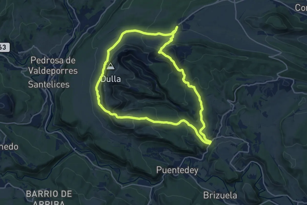
Medium · Trail
Canales de Dulla
15.5 km · ↑ 637 m · 5 h 15 min
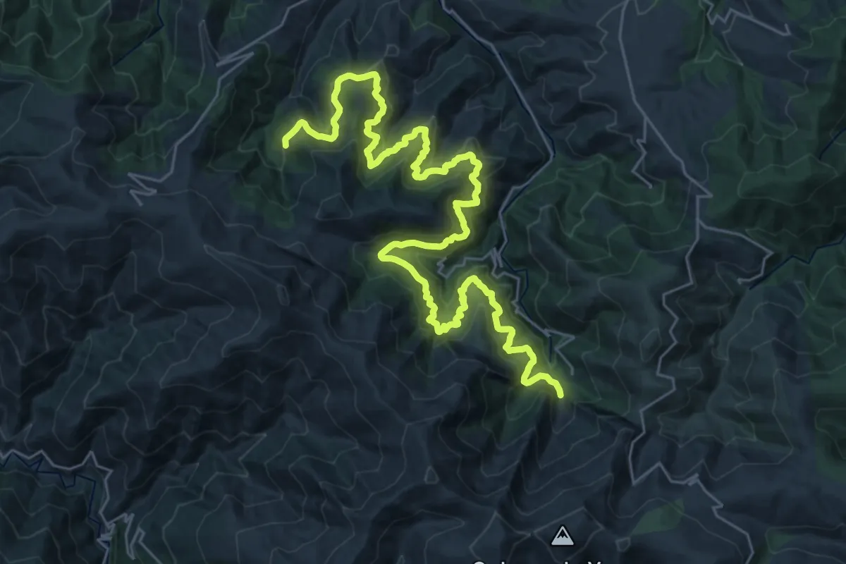
Demanding · Trail
Canales Romanos de las Médulas
19.4 km · ↑ 1171 m · 7 h 25 min
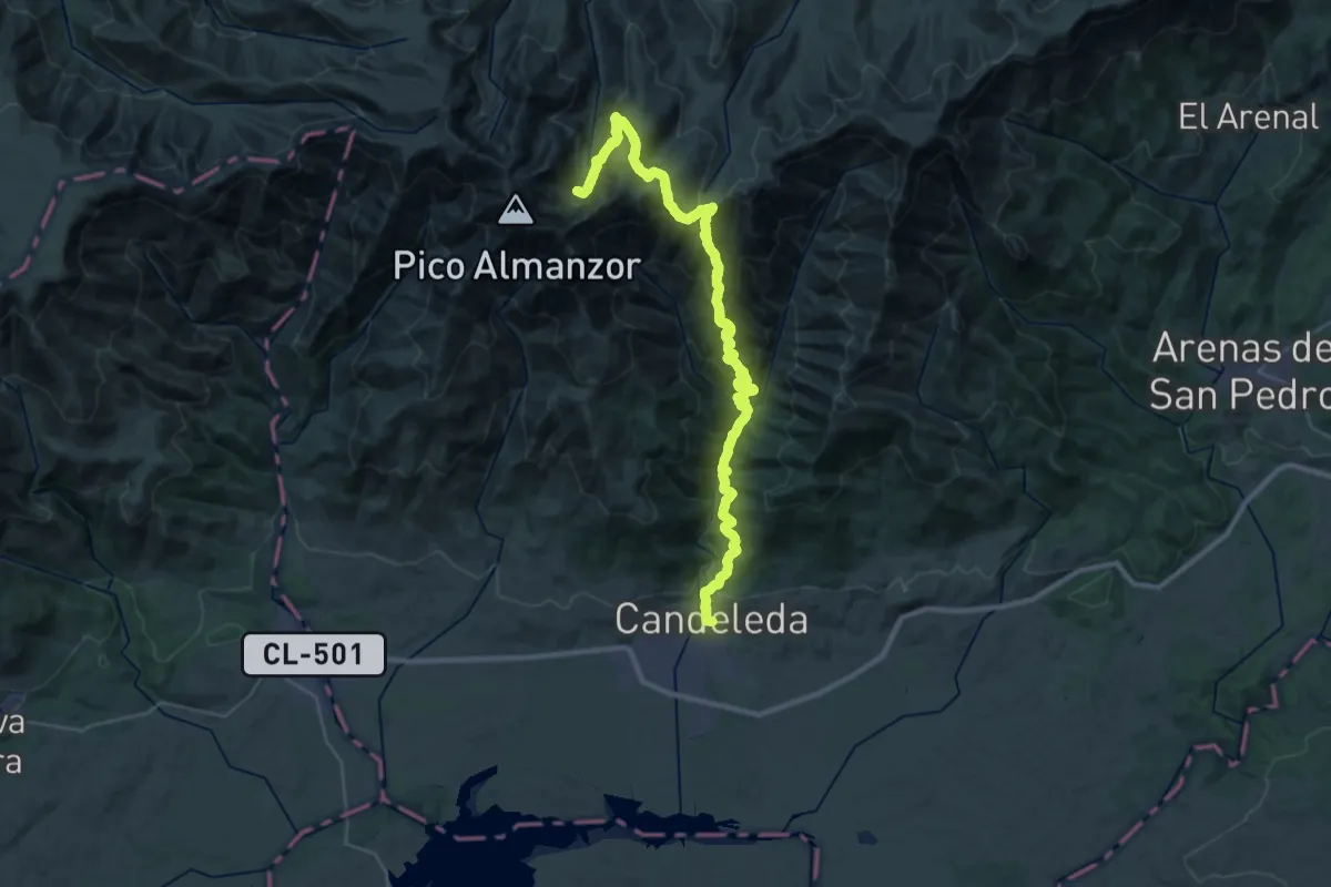
Demanding · Cabin
Candeleda-Puerto de Candeleda-Laguna Grande
21.4 km · ↑ 2044 m · 9 h 1 min
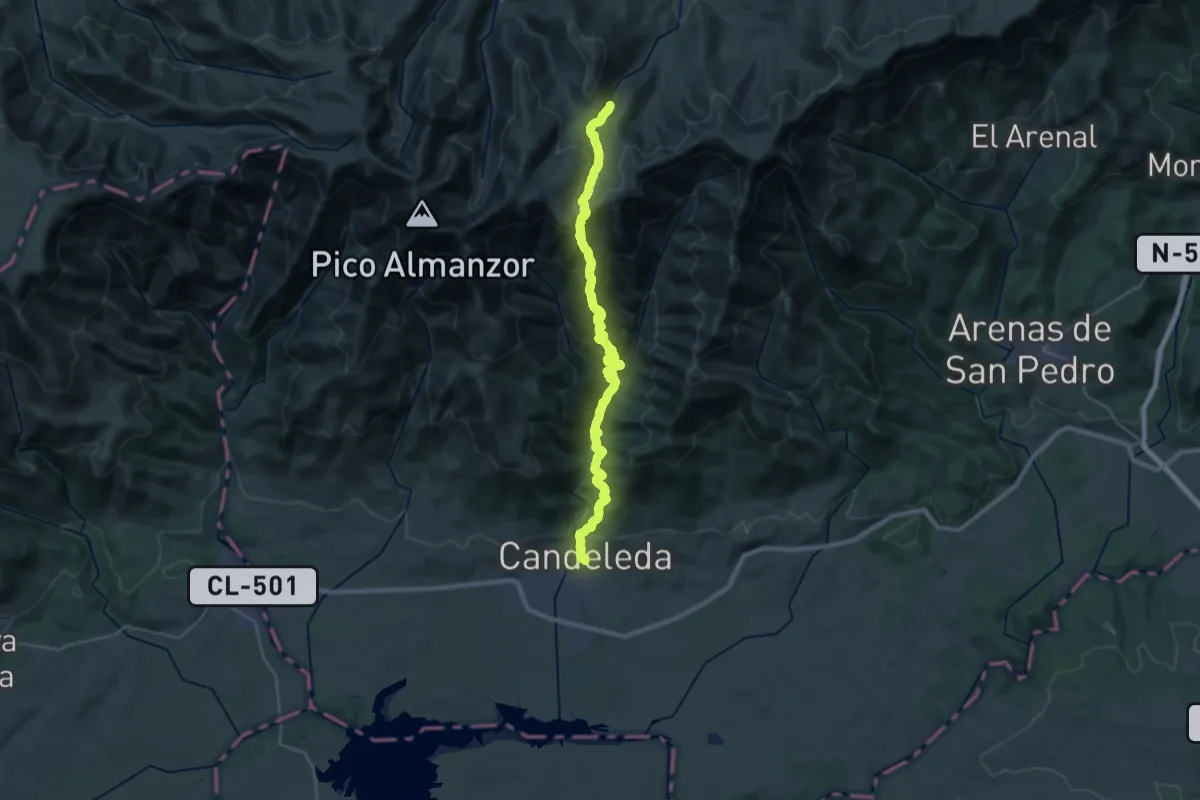
Demanding · Trail
Candeleda-Puerto de Candeleda-Plataforma
18.0 km · ↑ 1741 m · 7 h 35 min
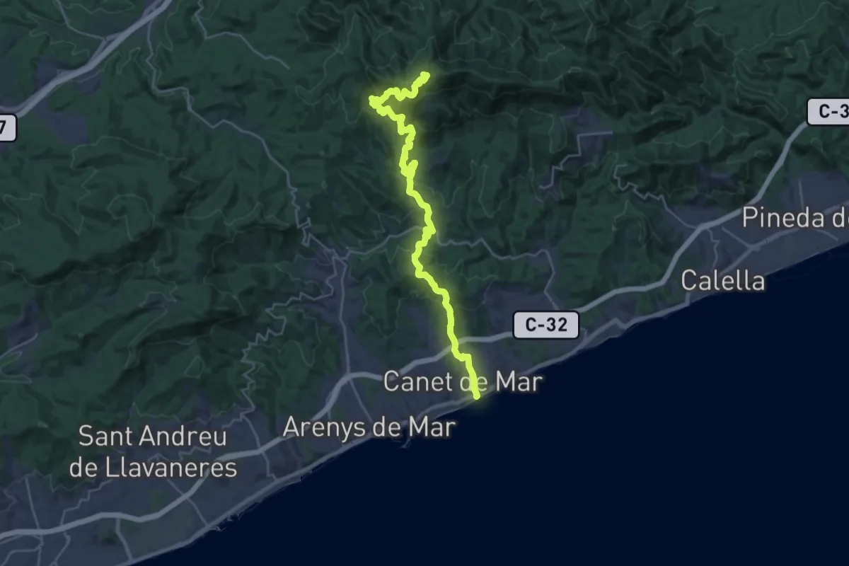
Demanding · Summit
Canet de Mar-Coll de Basses
28.2 km · ↑ 1309 m · 9 h 29 min
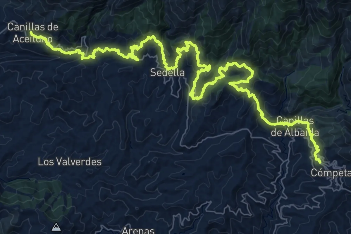
Demanding · Summit
Canillas de Aceituno - Cómpeta
23.9 km · ↑ 1270 m · 8 h 43 min