Trails in Spain
5,962 hiking trails, each with its route, climb, walking time and grade.
All trails, page 85 of 125
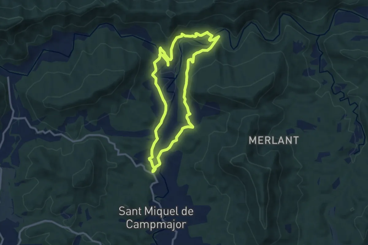
Medium · Trail
Ruta del veïnat de Roca i Briolf
8.7 km · ↑ 200 m · 2 h 36 min
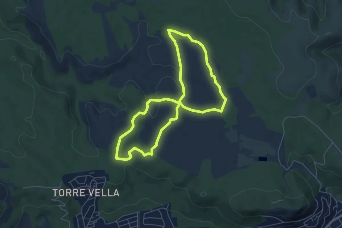
Easy · Trail
Ruta del Vent
5.5 km · ↑ 51 m · 1 h 30 min
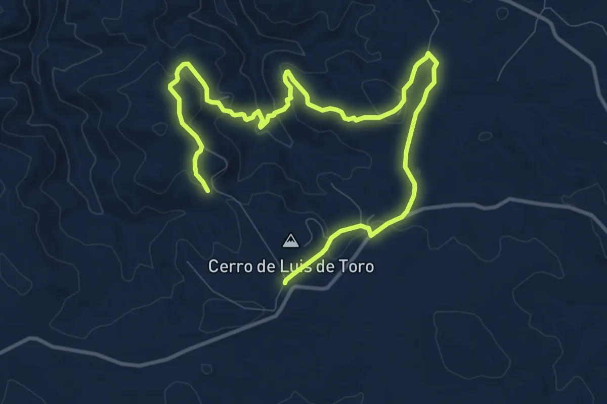
Easy · Trail
Ruta del Viento, Los Barrancos
7.8 km · ↑ 212 m · 2 h 25 min
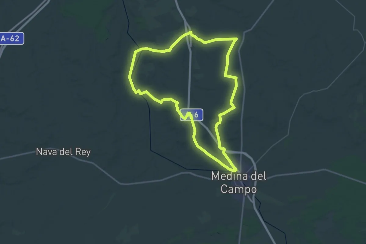
Demanding · Trail
Ruta del Vino de Rueda
38.1 km · ↑ 250 m · 10 h 4 min
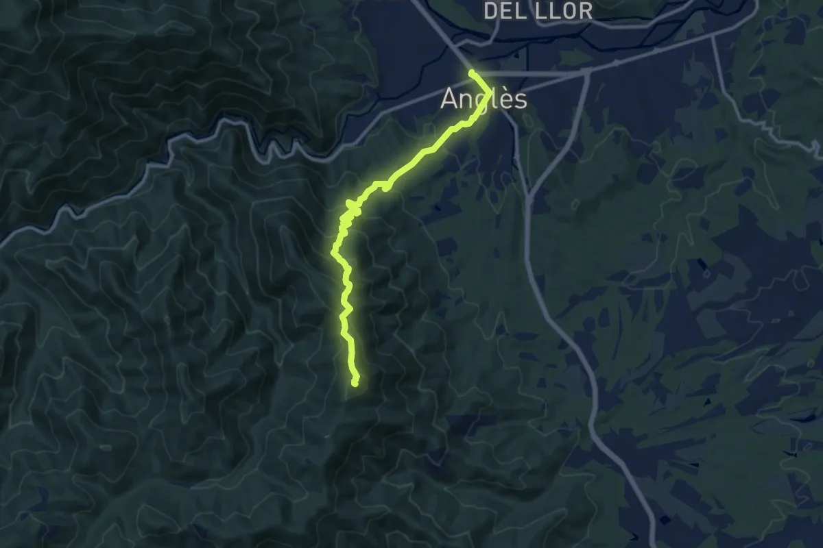
Medium · Summit
Ruta d'en Serrallonga. Variant Coll de Roscall - Anglès
11.6 km · ↑ 708 m · 4 h 16 min
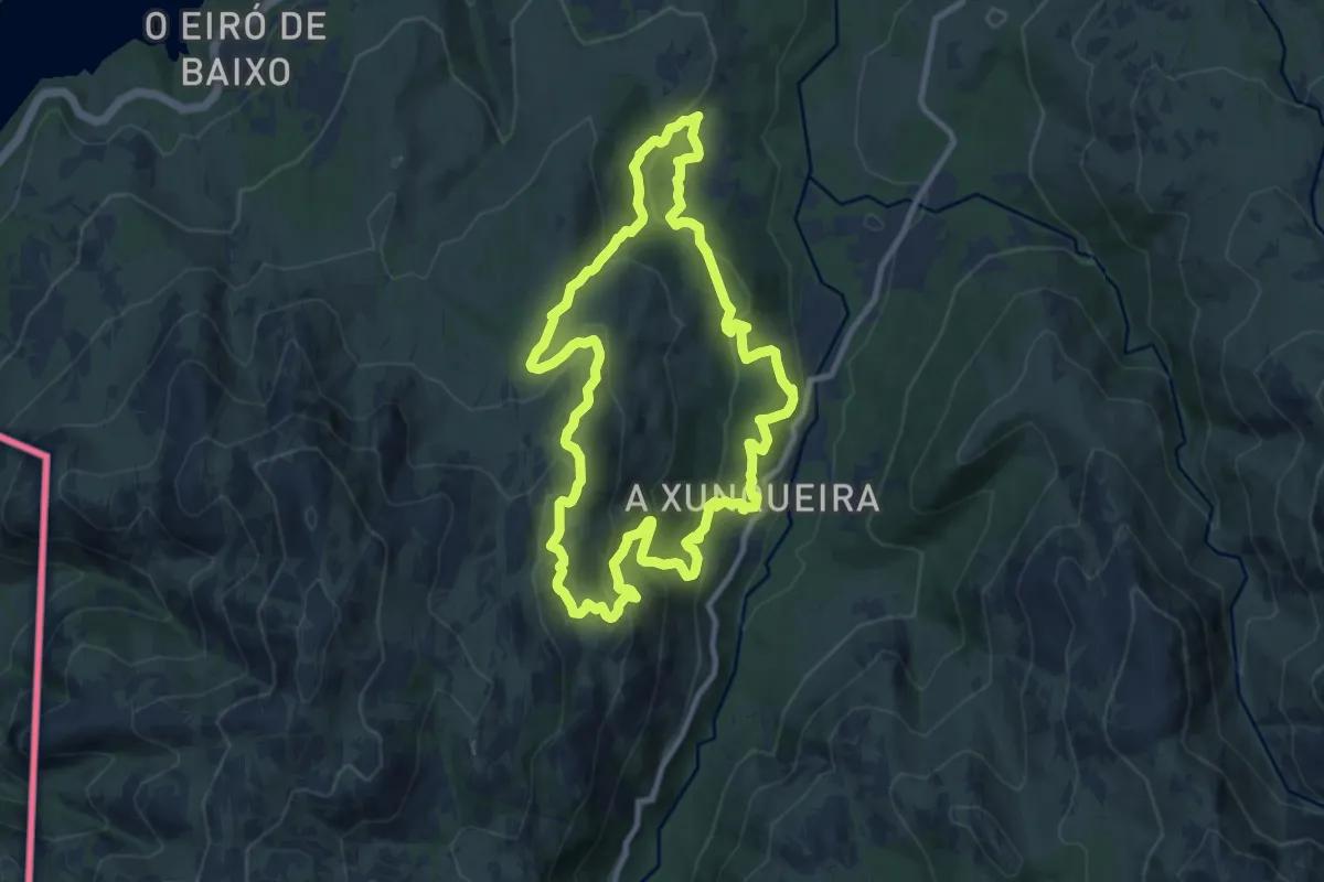
Medium · Trail
Ruta de Padrendo
10.5 km · ↑ 548 m · 3 h 49 min
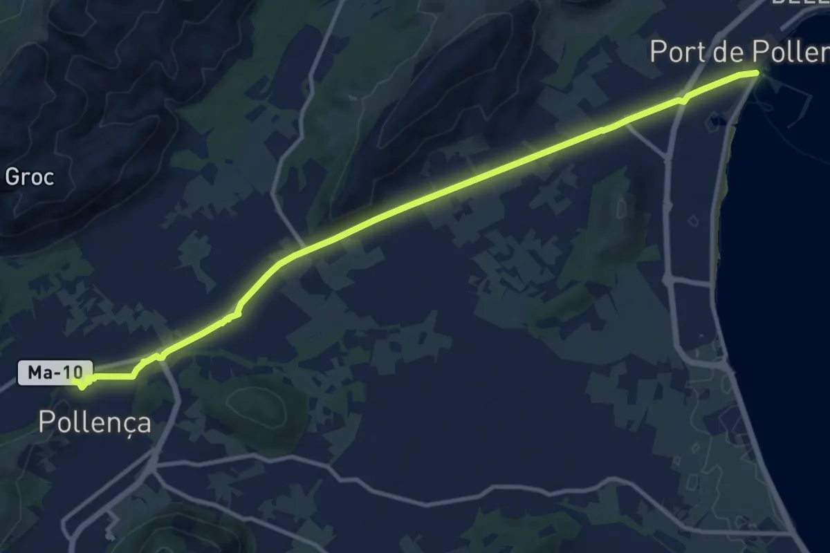
Medium · Trail
Ruta de Pedra en Sec - Etapa 8
13.5 km · ↑ 61 m · 3 h 19 min
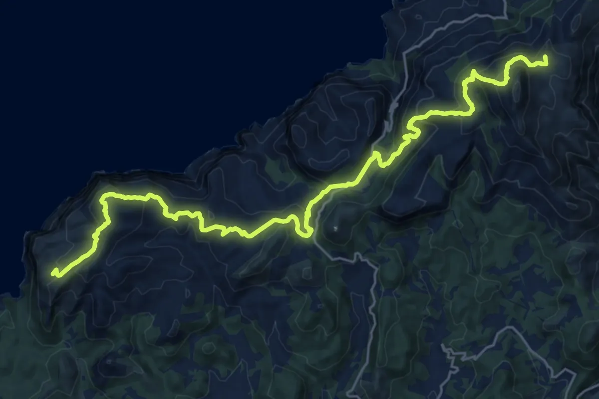
Demanding · Summit
Ruta de Pedra en Sec: Stage 1: strength La Trapa-Coma d'en Vidal
27.3 km · ↑ 1394 m · 9 h 28 min
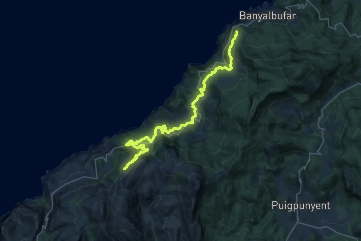
Demanding · Summit
Ruta de Pedra en Sec: Stage 2: Coma d'en Vidal-Esporles
23.6 km · ↑ 1456 m · 8 h 44 min
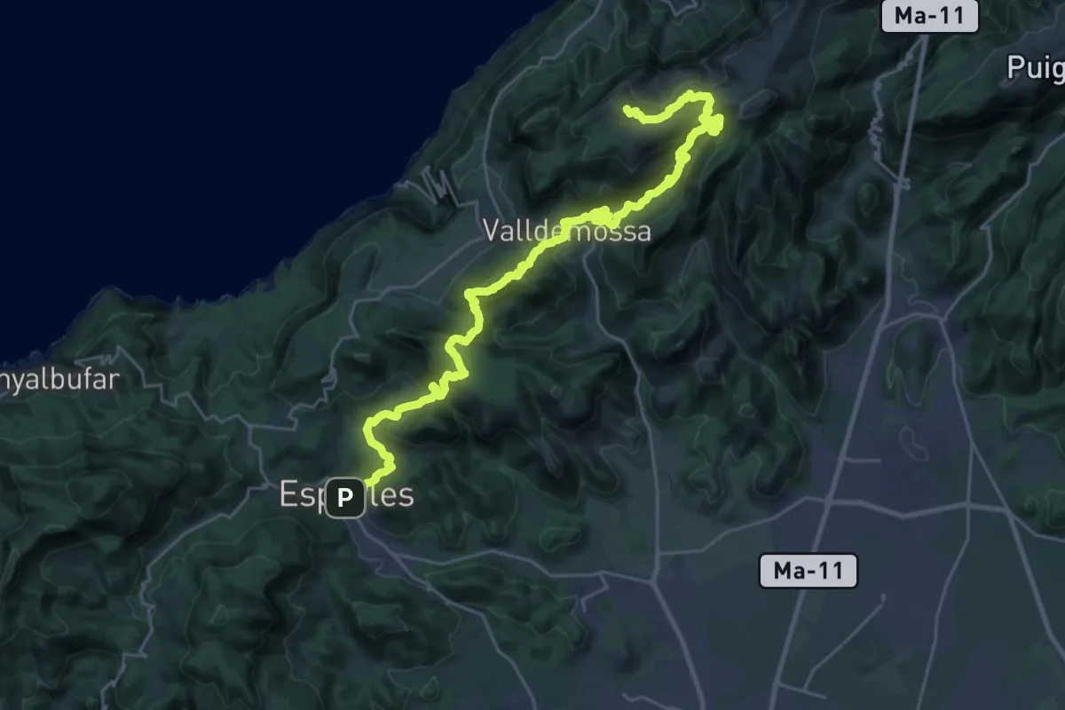
Demanding · Summit
Ruta de Pedra en Sec: Stage 3: Esporles - Can Boi
35.6 km · ↑ 2079 m · 12 h 54 min
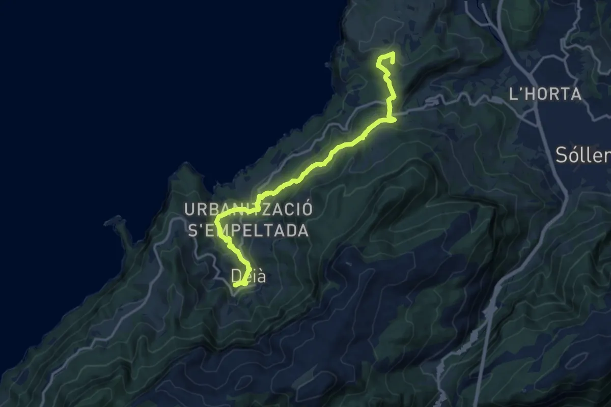
Medium · Summit
Ruta de Pedra en Sec: Stage 4: Can Boi - Muleta
14.9 km · ↑ 687 m · 5 h
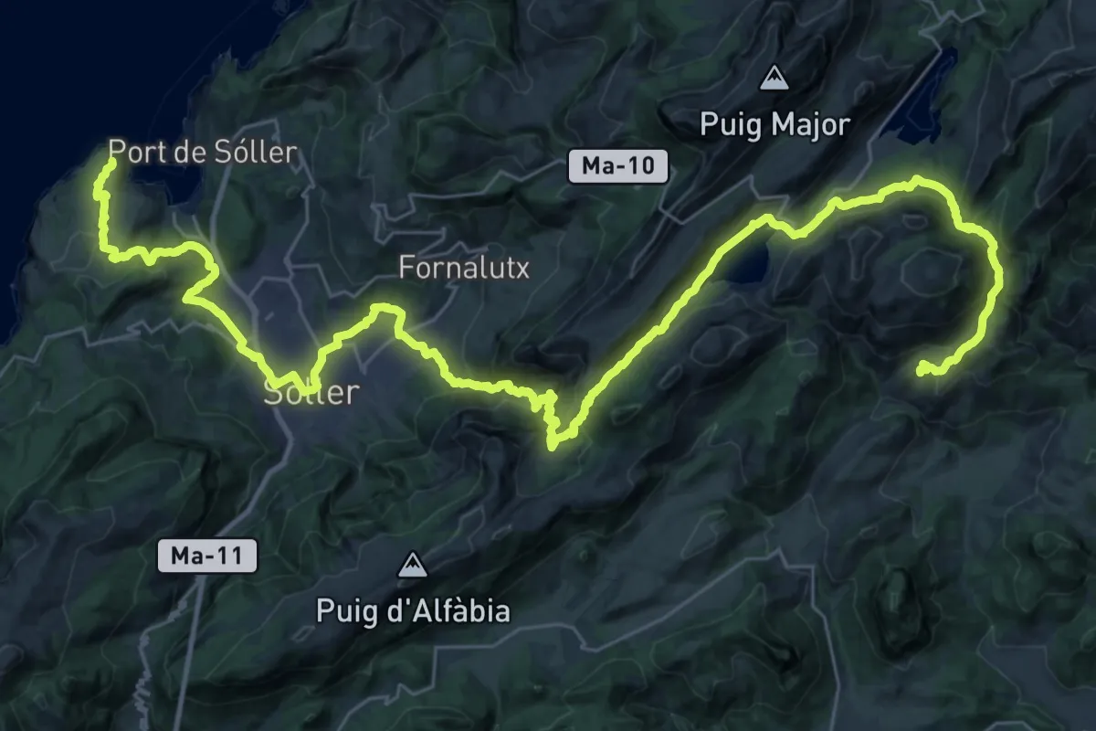
Demanding · Cabin
Ruta de Pedra en Sec: Stage 5: Muleta - Tossals verds
27.0 km · ↑ 1031 m · 9 h 12 min
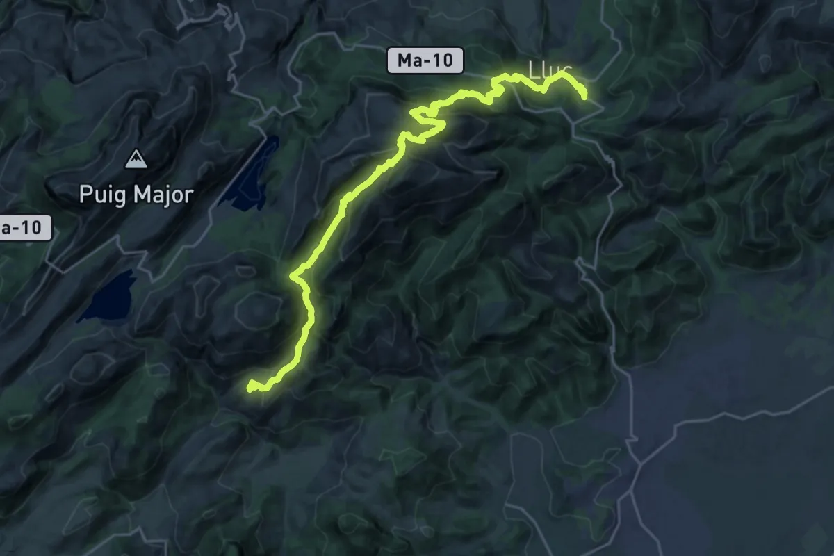
Demanding · Cabin
Ruta de Pedra en Sec: Stage 6: Tossals Verds - Son Amer
14.5 km · ↑ 930 m · 5 h 39 min
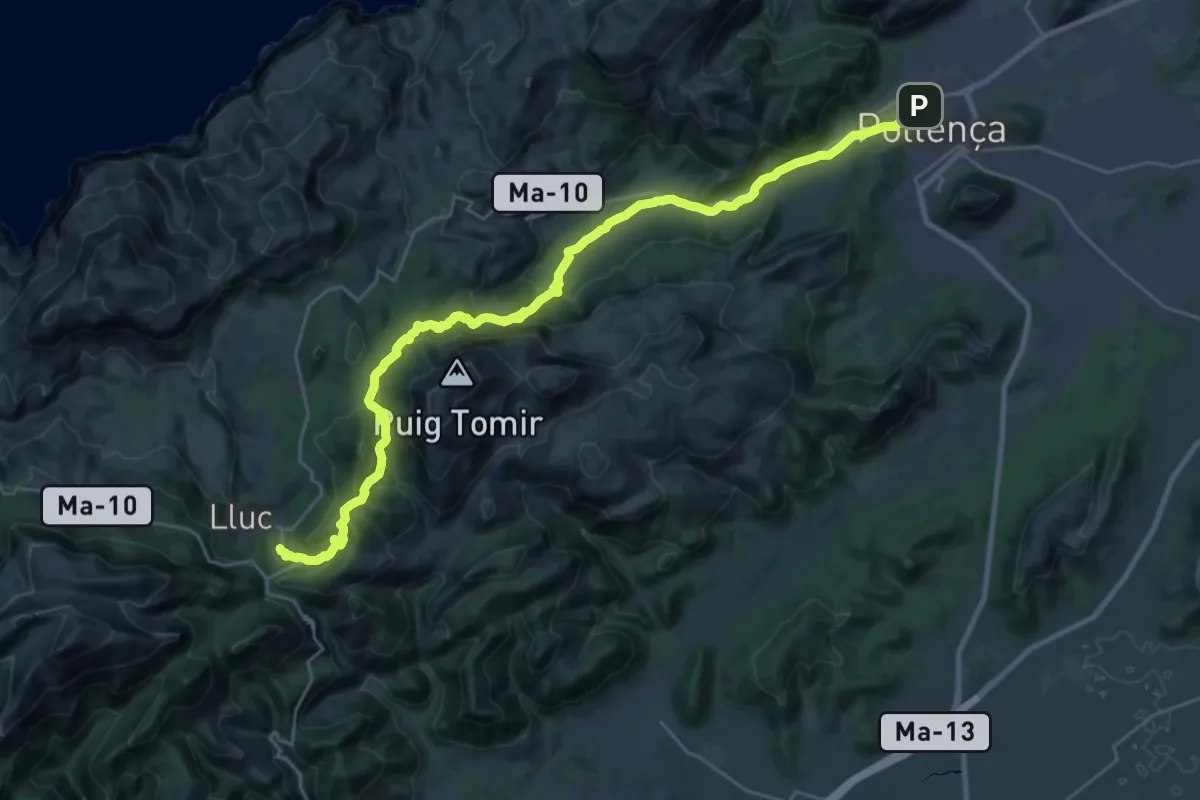
Medium · Cabin
Ruta de Pedra en Sec: Stage 7: Son Amer - Pont Romà
16.7 km · ↑ 695 m · 5 h 27 min
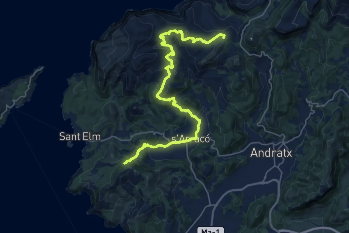
Demanding · Summit
Ruta de Pedra en Sec: Variant 1: s'Arracó
22.4 km · ↑ 852 m · 7 h 9 min
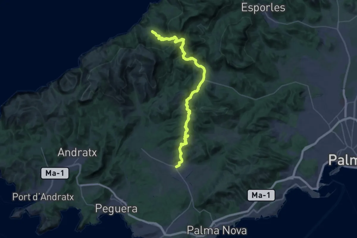
Demanding · Trail
Ruta de Pedra en Sec: Variant 2 Galatzó: stretch Calvià-Estellencs
18.2 km · ↑ 918 m · 6 h 31 min
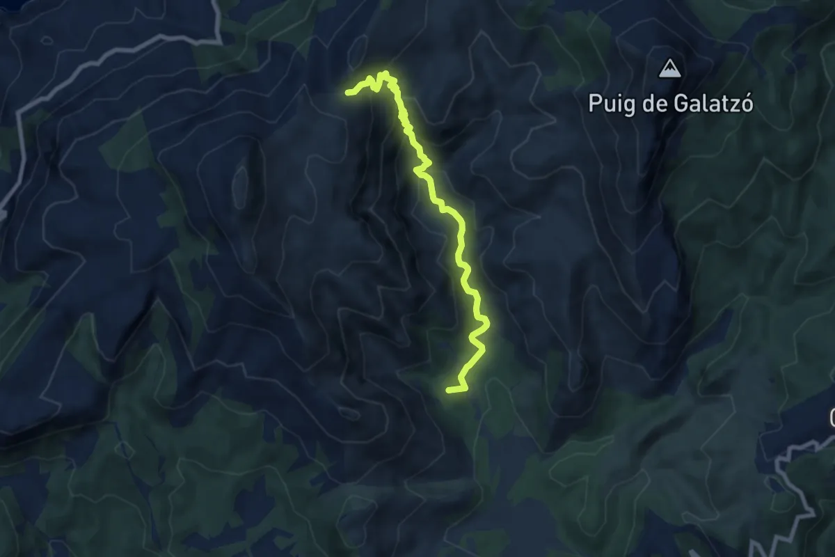
Medium · Summit
Ruta de Pedra en Sec: Variant 2 Galatzó: stretch Es Capdellà-pass to Coma d'en Vidal
8.3 km · ↑ 588 m · 3 h 14 min
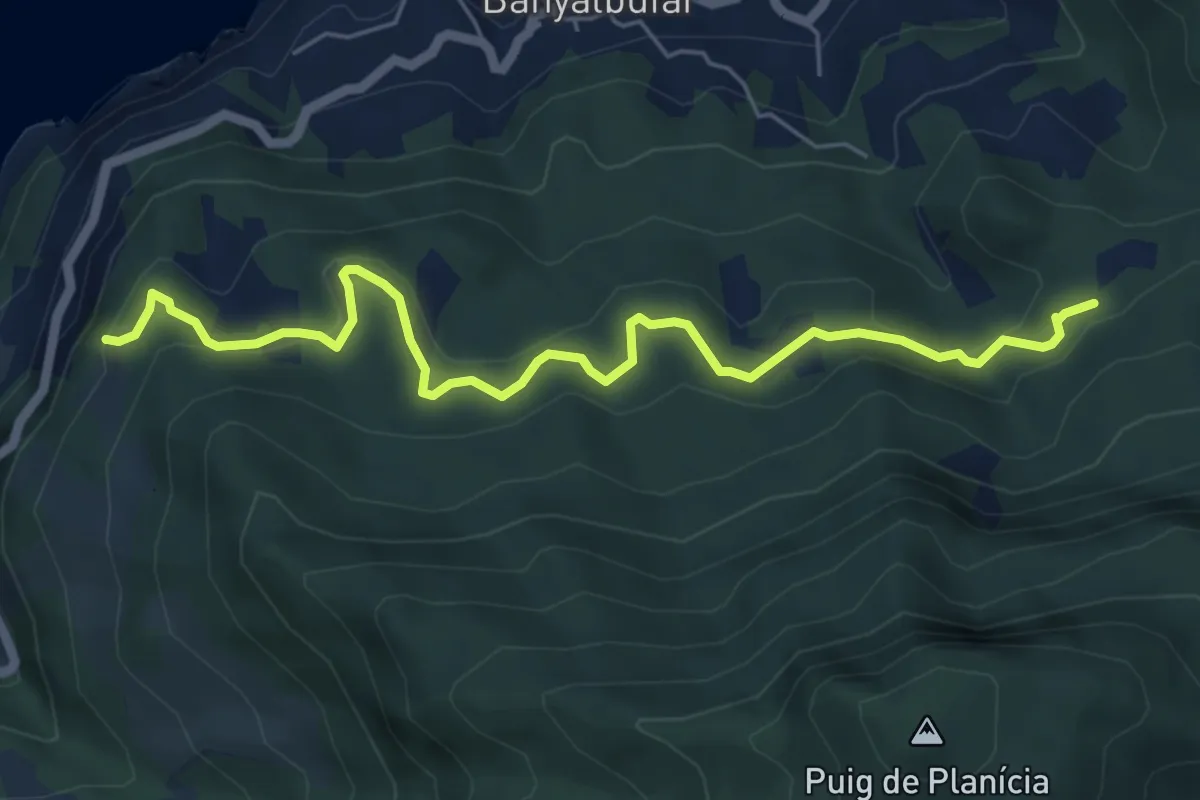
Easy · Trail
Ruta de Pedra en Sec: Variant 3 Son Sanutges
7.0 km · ↑ 291 m · 2 h 17 min
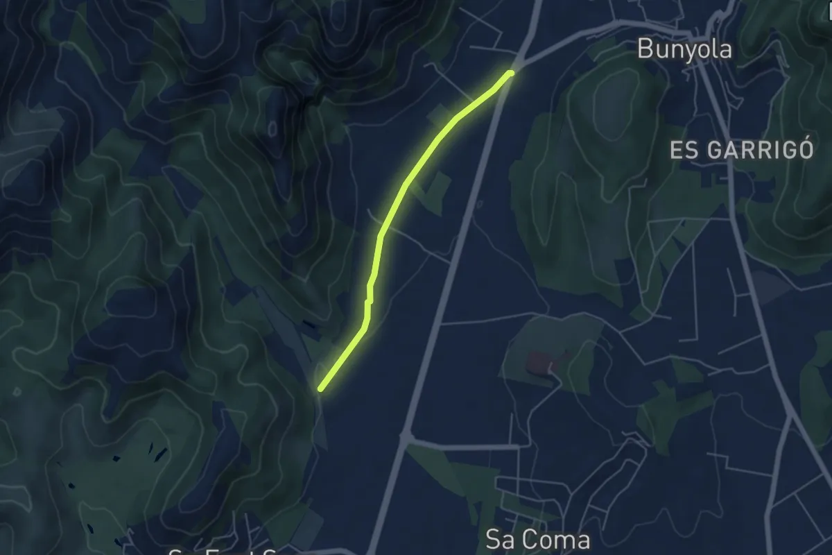
Easy · Trail
Ruta de Pedra en Sec: Variant 5 Castell d'Alaró: stretch Raixa
4.6 km · ↑ 28 m · 1 h 9 min
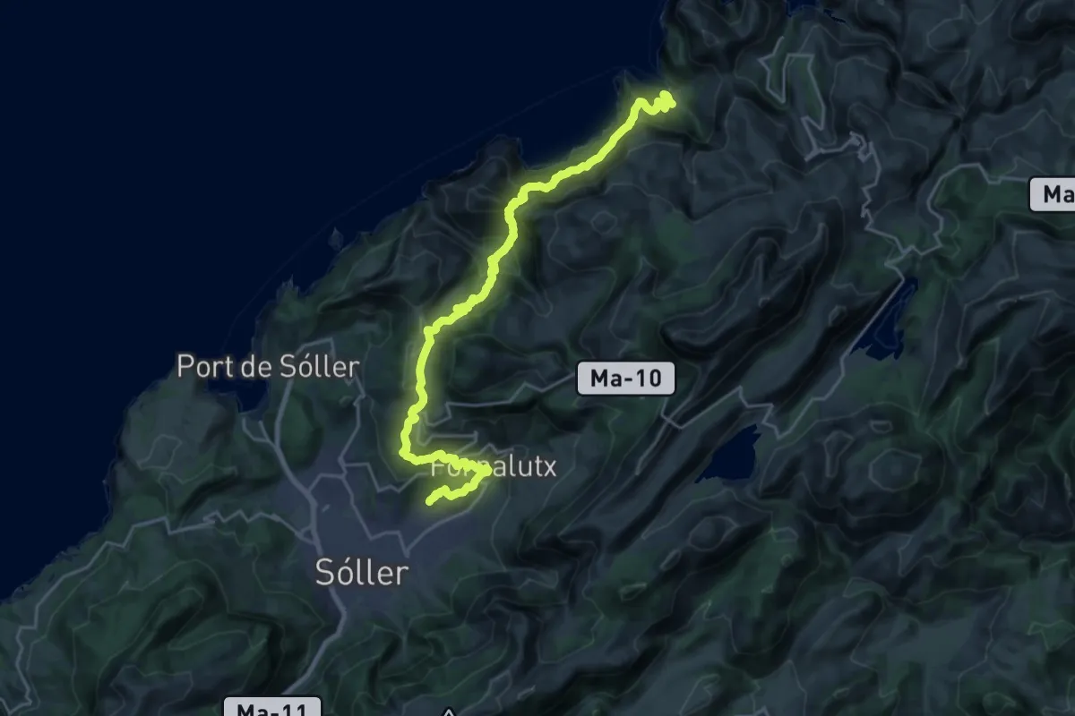
Demanding · Trail
Ruta de Pedra en Sec: Variant 6 Sa Costera: stretch Binibassí - Cala Tuent
13.9 km · ↑ 940 m · 5 h 28 min
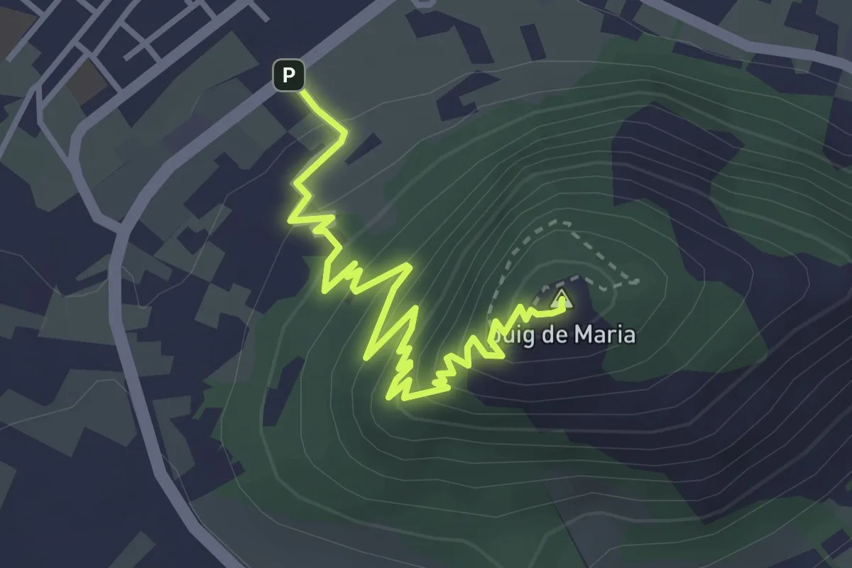
Medium · Summit
Ruta de Pedra en Sec - Variant H Puig de Maria
4.2 km · ↑ 338 m · 1 h 43 min
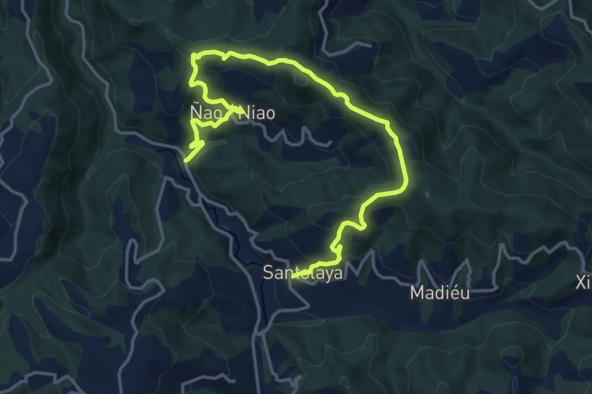
Medium · Trail
Ruta de Peña Cabrera
14.2 km · ↑ 720 m · 4 h 55 min
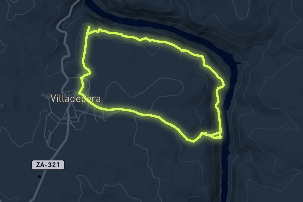
Medium · Trail
Ruta de Peña Centigosa a Peña Blanca
6.2 km · ↑ 341 m · 2 h 16 min
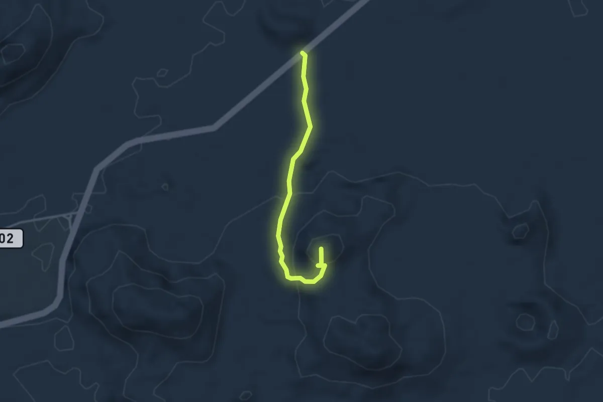
Easy · Summit
Ruta de Pico Partido
3.6 km · ↑ 157 m · 1 h 12 min
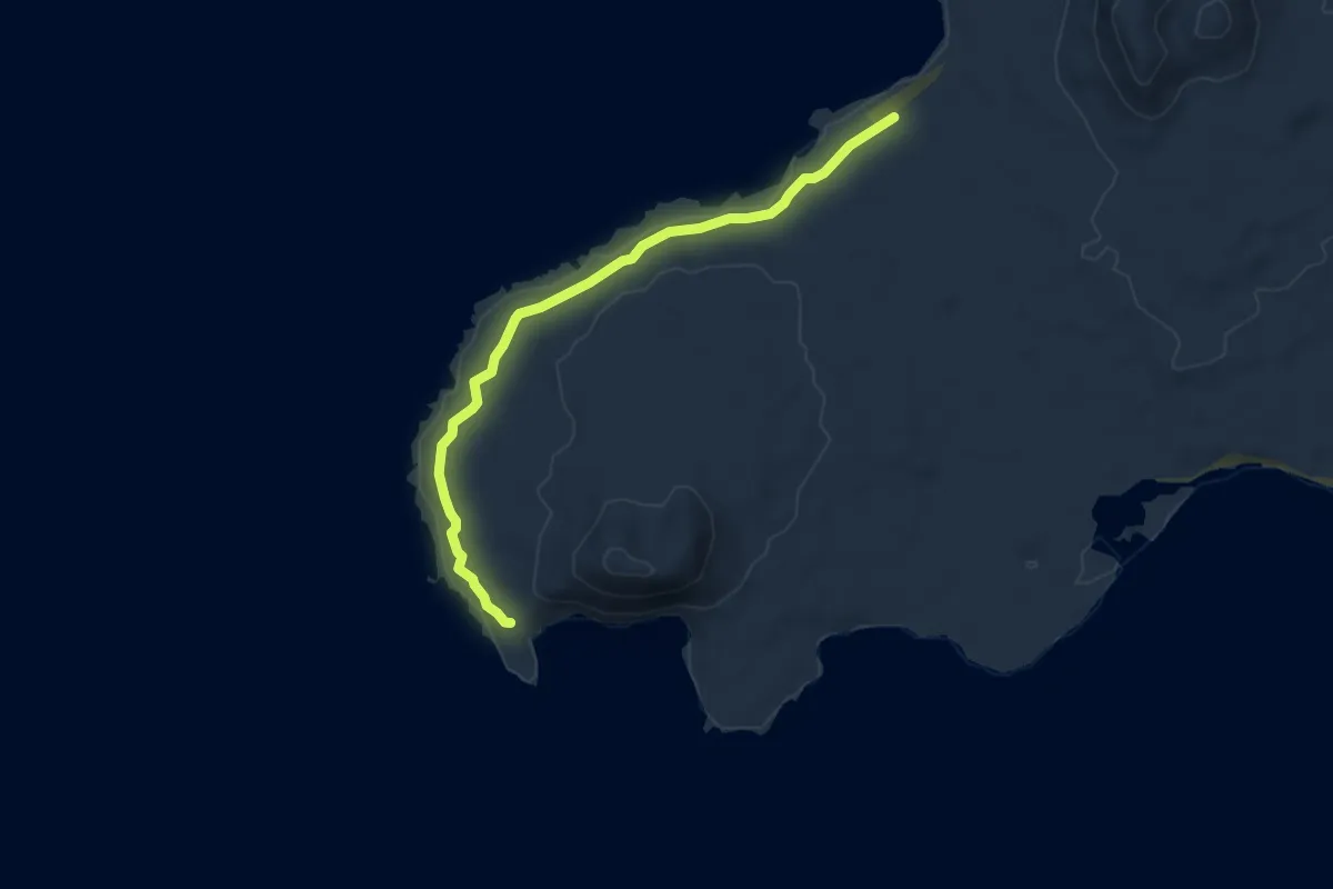
Easy · Trail
Ruta de Punta del Pobre
6.6 km · ↑ 17 m · 1 h 36 min
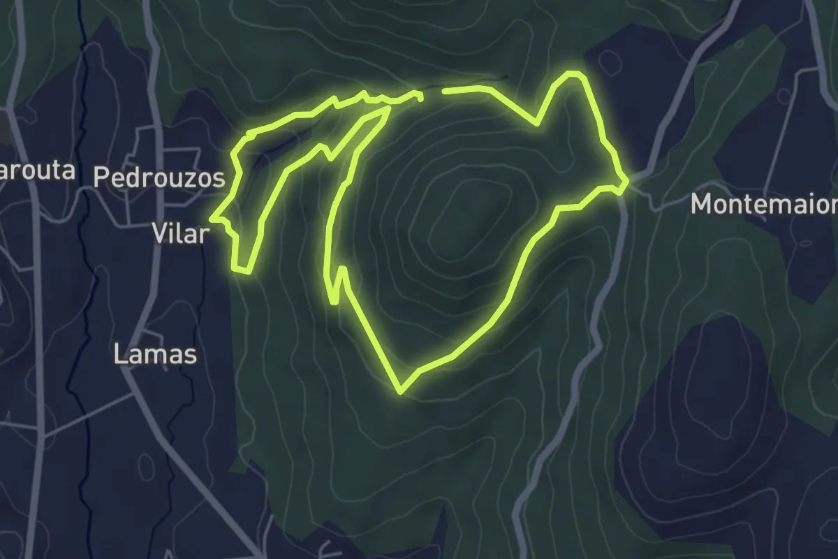
Easy · Trail
Ruta de riamonte
5.4 km · ↑ 212 m · 1 h 48 min
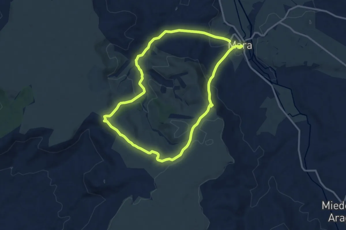
Medium · Trail
Ruta de San Fabián
9.3 km · ↑ 233 m · 2 h 50 min
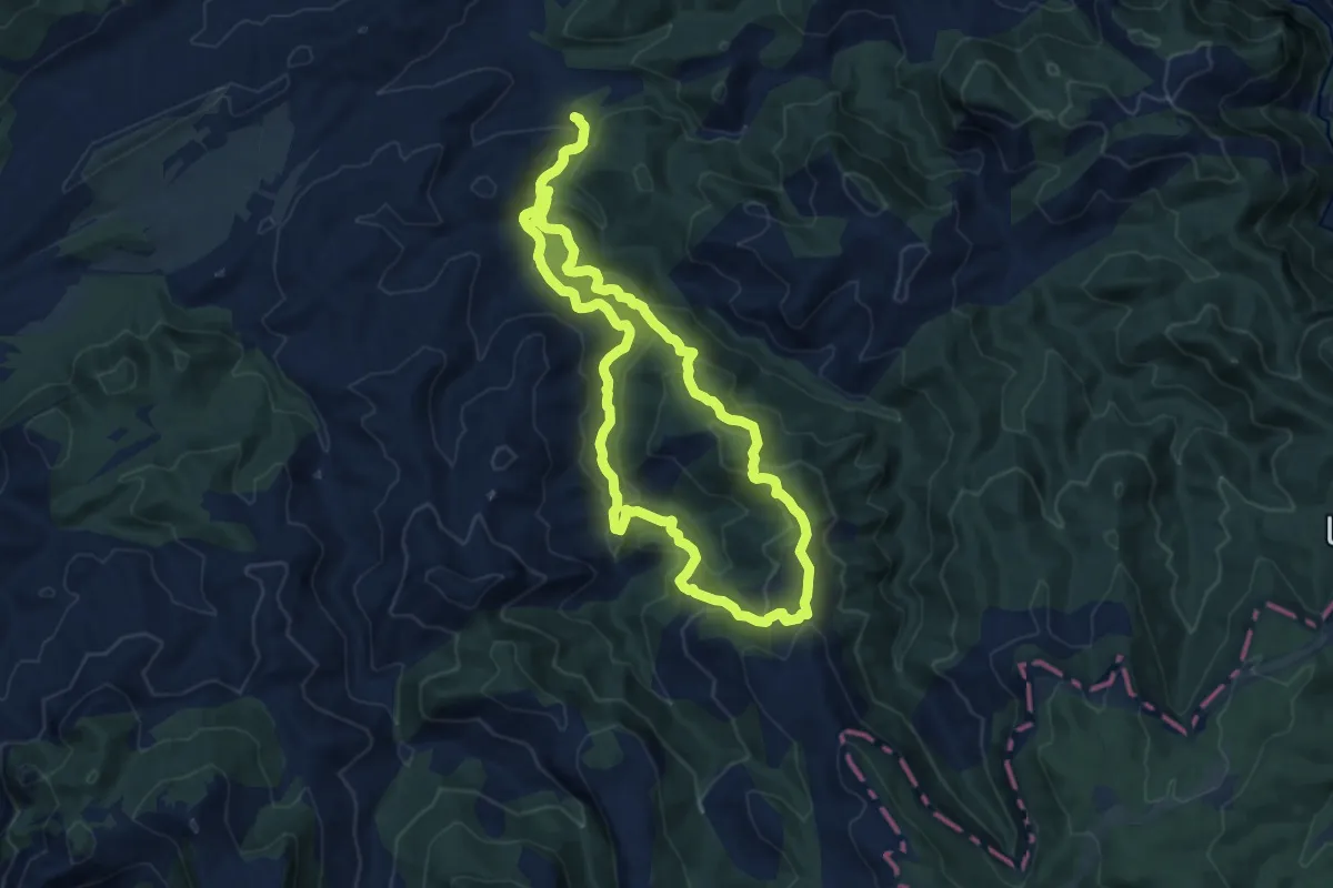
Medium · Summit
Ruta de Sant Miquel d'Espinalbar
12.0 km · ↑ 568 m · 4 h 13 min
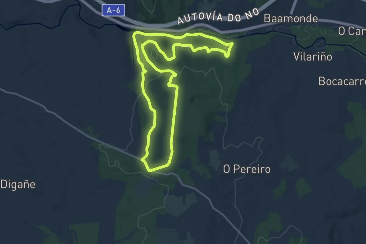
Medium · Trail
Ruta de Sendeirismo das Bidueiras
10.7 km · ↑ 290 m · 3 h 18 min
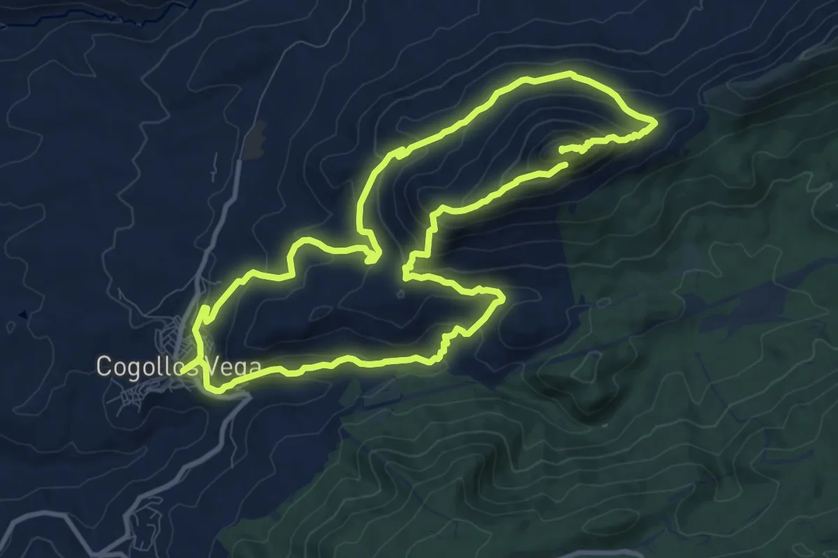
Demanding · Summit
Ruta de senderismo Peñón de la Mata
23.1 km · ↑ 1260 m · 8 h 11 min
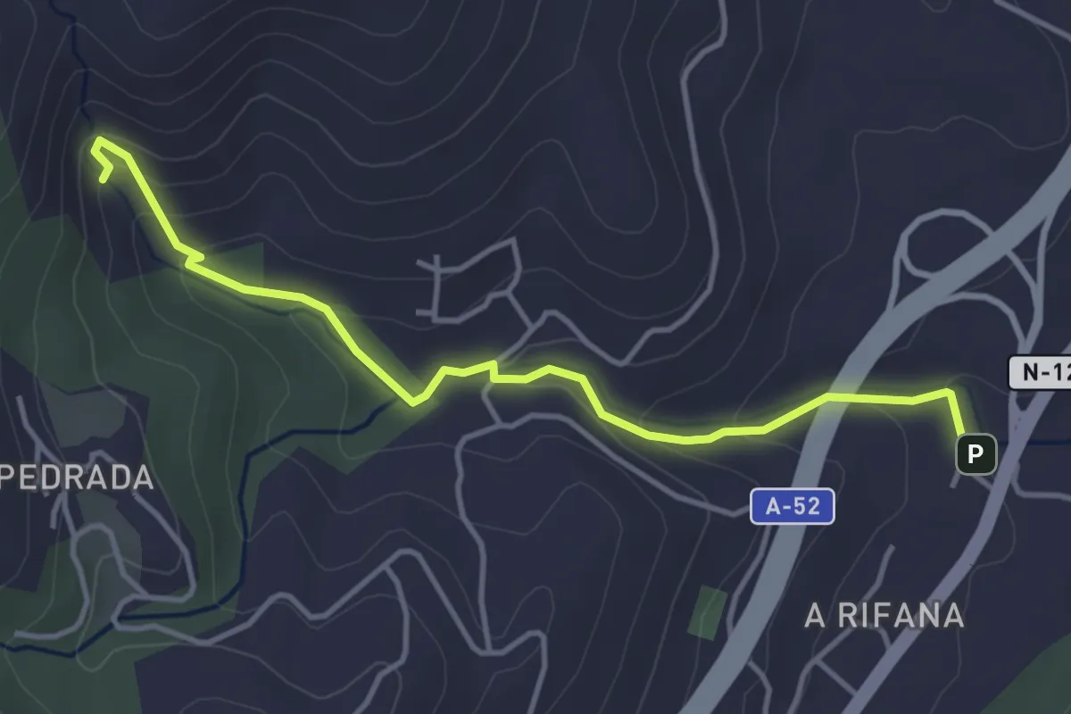
Easy · Trail
Ruta de senderismo Pozas de Melón
4.5 km · ↑ 237 m · 1 h 34 min
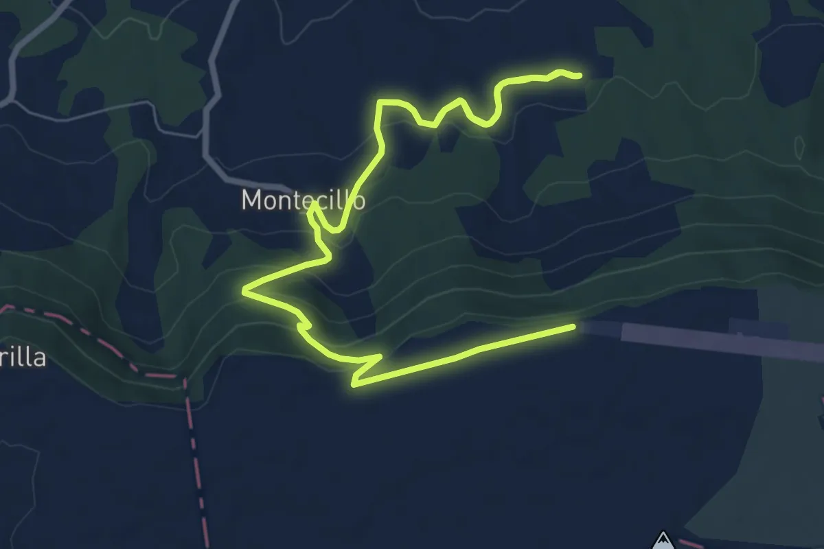
Medium · Trail
Ruta de Sobrepeña a Lorilla
10.4 km · ↑ 330 m · 3 h 11 min
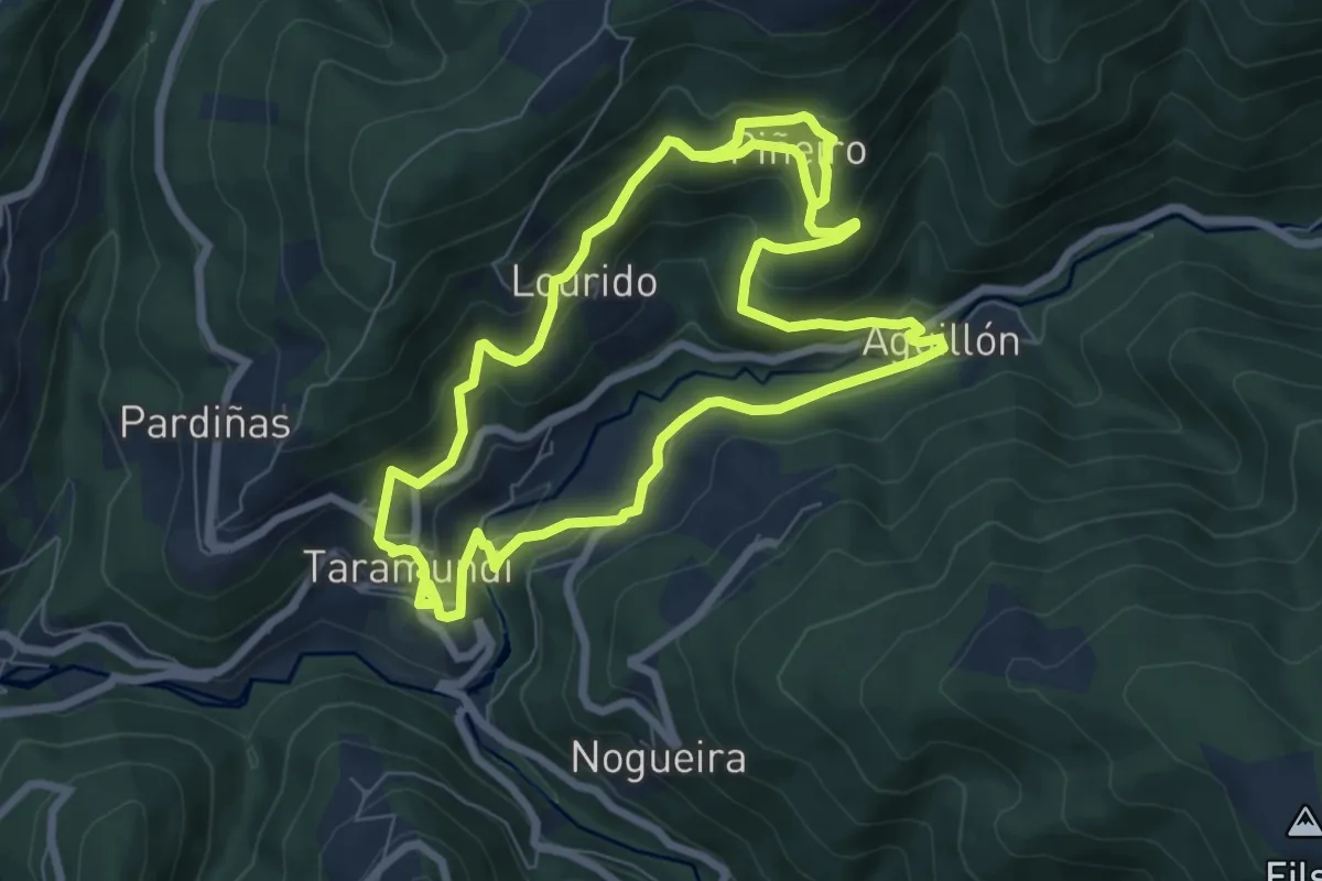
Medium · Trail
Ruta de sol y sombra
7.6 km · ↑ 398 m · 2 h 47 min
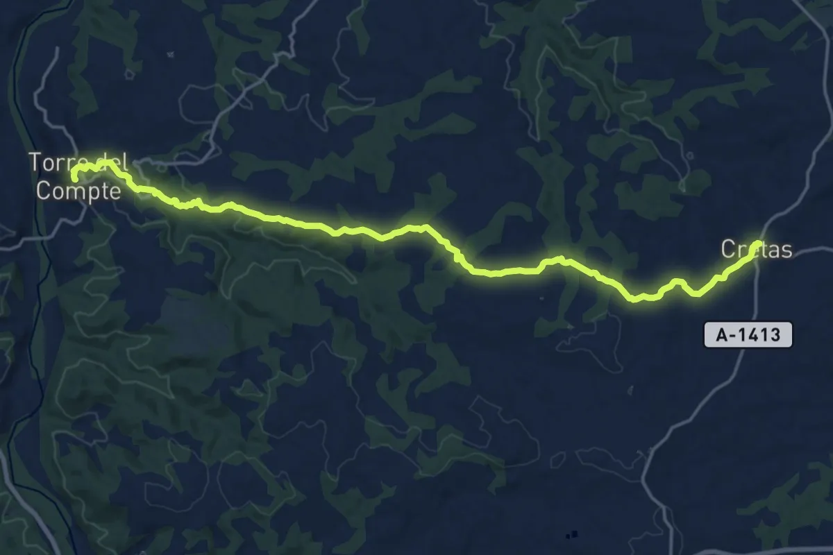
Demanding · Trail
Ruta de Torre del Compte a Cretas
21.4 km · ↑ 415 m · 5 h 57 min
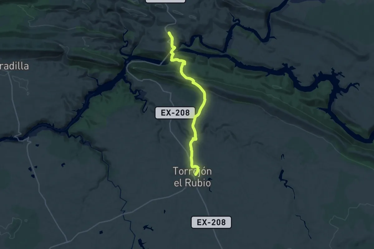
Demanding · Trail
Ruta de Torrejón el Rubio
22.3 km · ↑ 785 m · 6 h 58 min
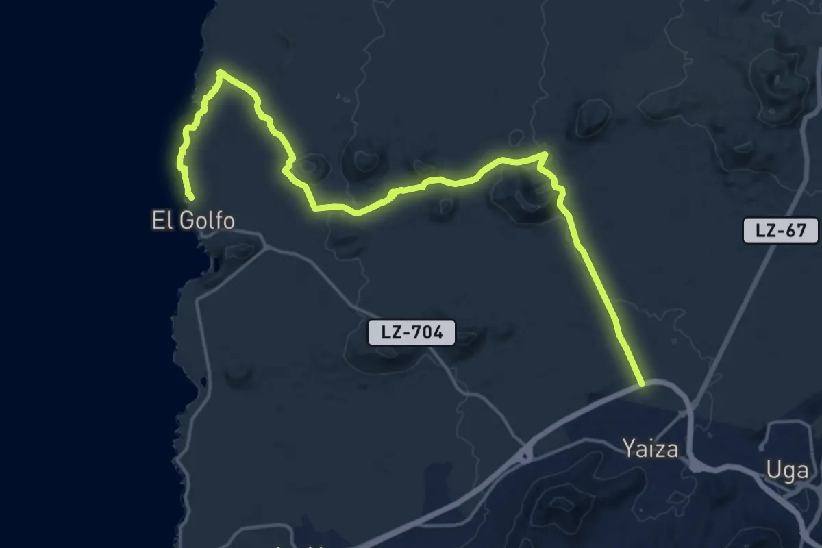
Demanding · Trail
Ruta de Tremesana
25.0 km · ↑ 387 m · 6 h 45 min
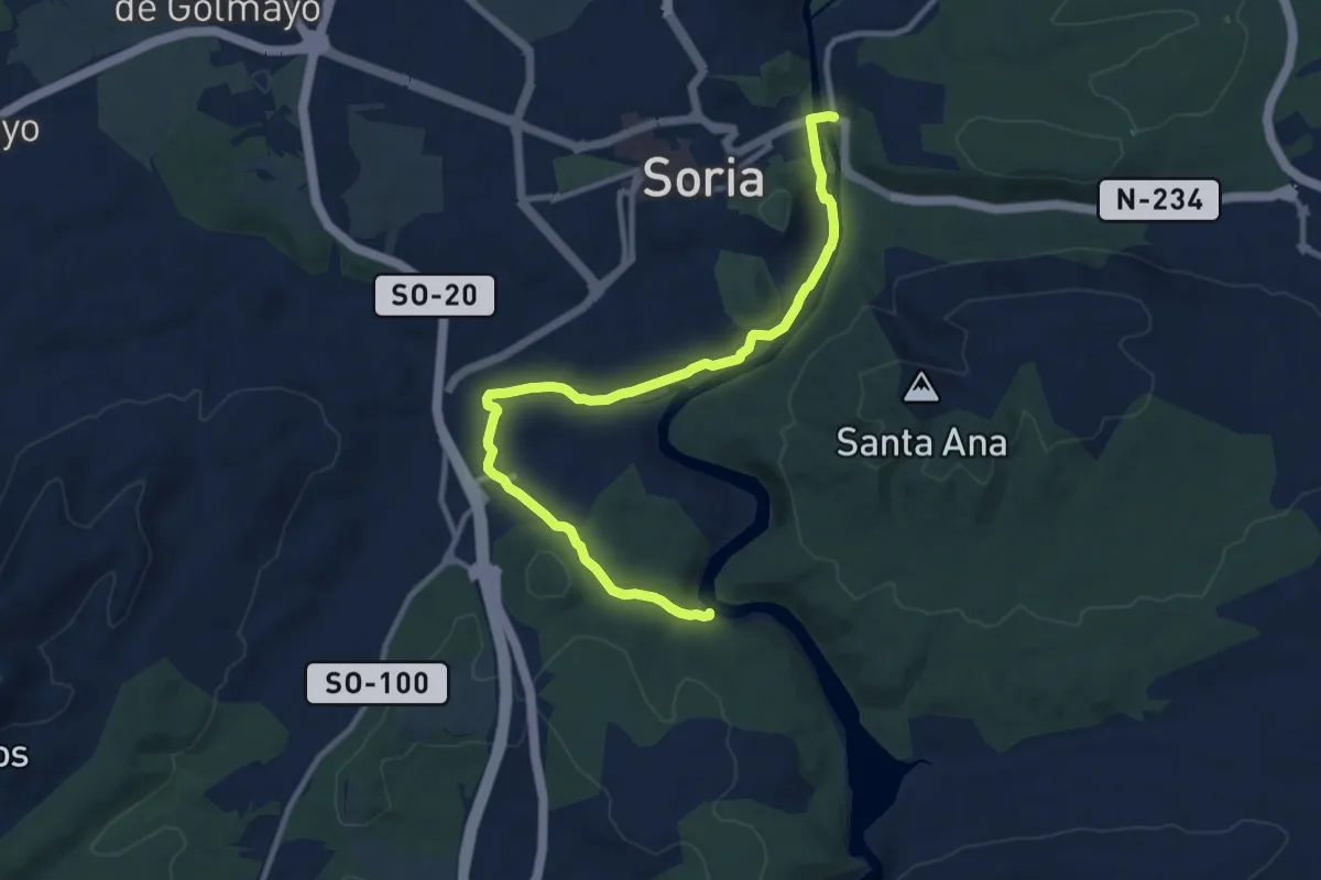
Medium · Trail
Ruta de Valhondo
12.5 km · ↑ 209 m · 3 h 24 min
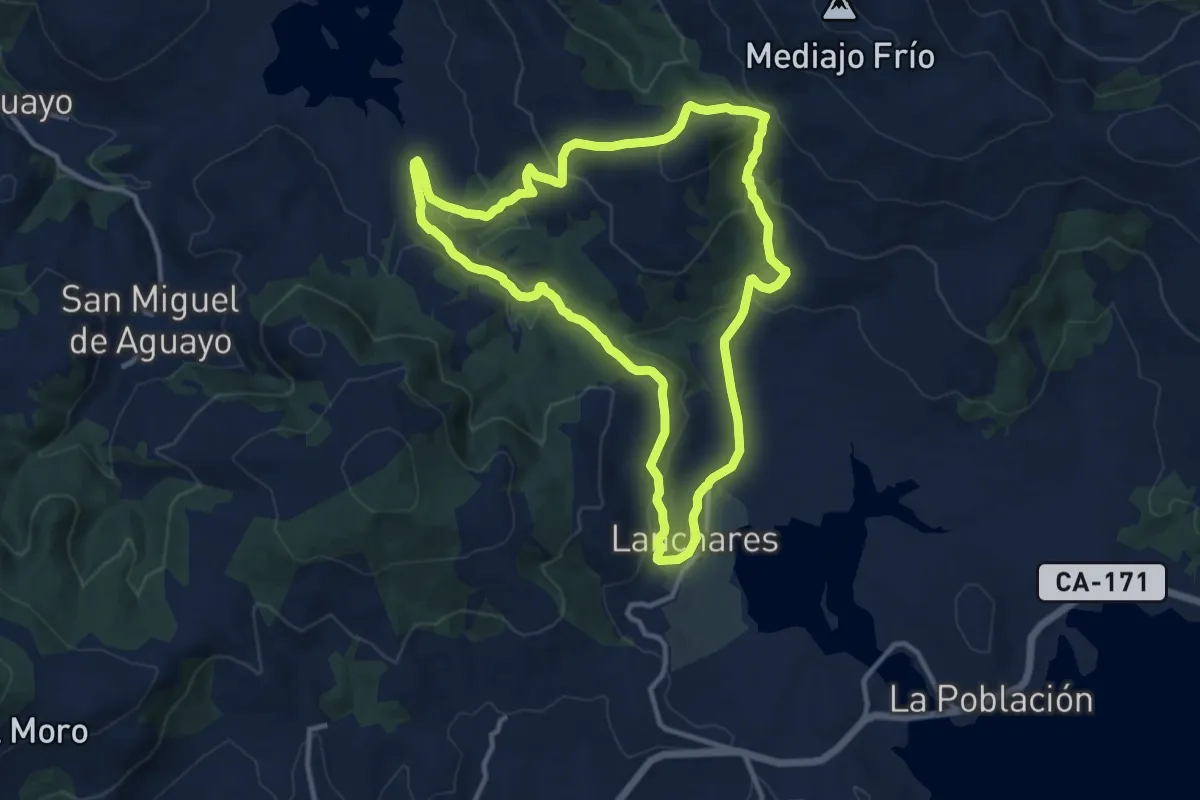
Medium · Summit
Ruta de Vallejo Rucandano
12.3 km · ↑ 415 m · 3 h 59 min
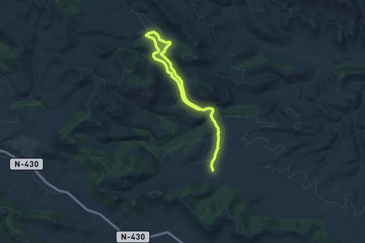
Medium · Trail
Ruta de Valtriguero
11.0 km · ↑ 166 m · 3 h 9 min
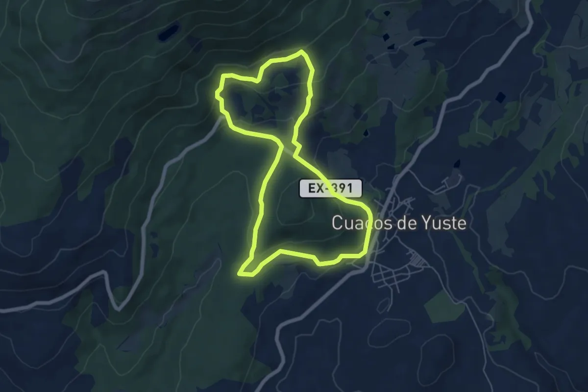
Easy · Trail
Ruta de Yuste
6.0 km · ↑ 212 m · 1 h 58 min
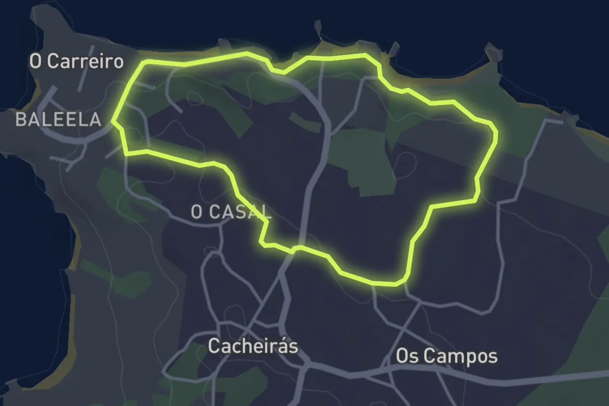
Easy · Trail
Ruta do Adro Vello
3.6 km · ↑ 49 m · 1 h
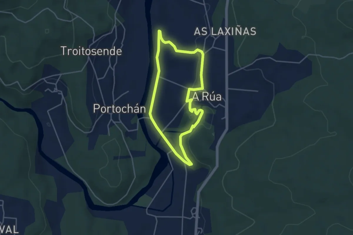
Easy · Trail
Ruta do Andoriña
3.5 km · ↑ 48 m · 59 min
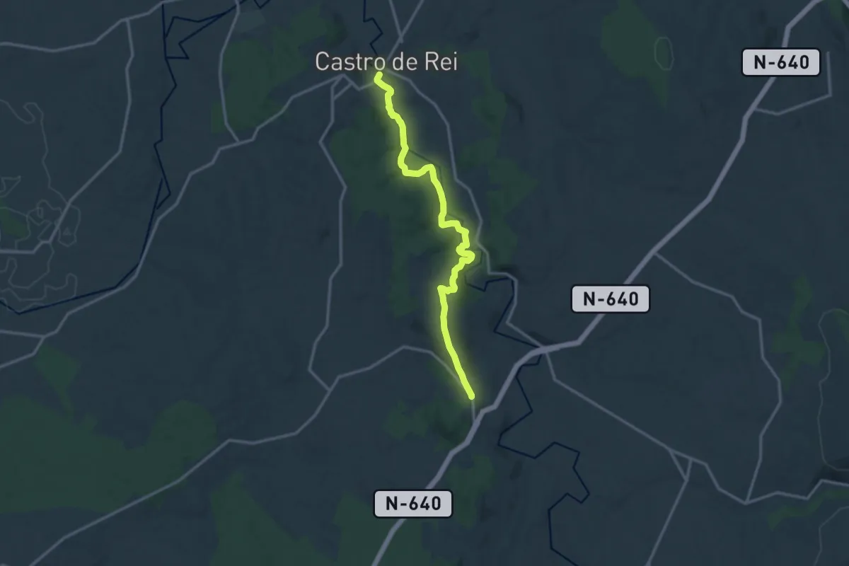
Medium · Trail
Ruta do Azúmara
13.8 km · ↑ 319 m · 3 h 57 min
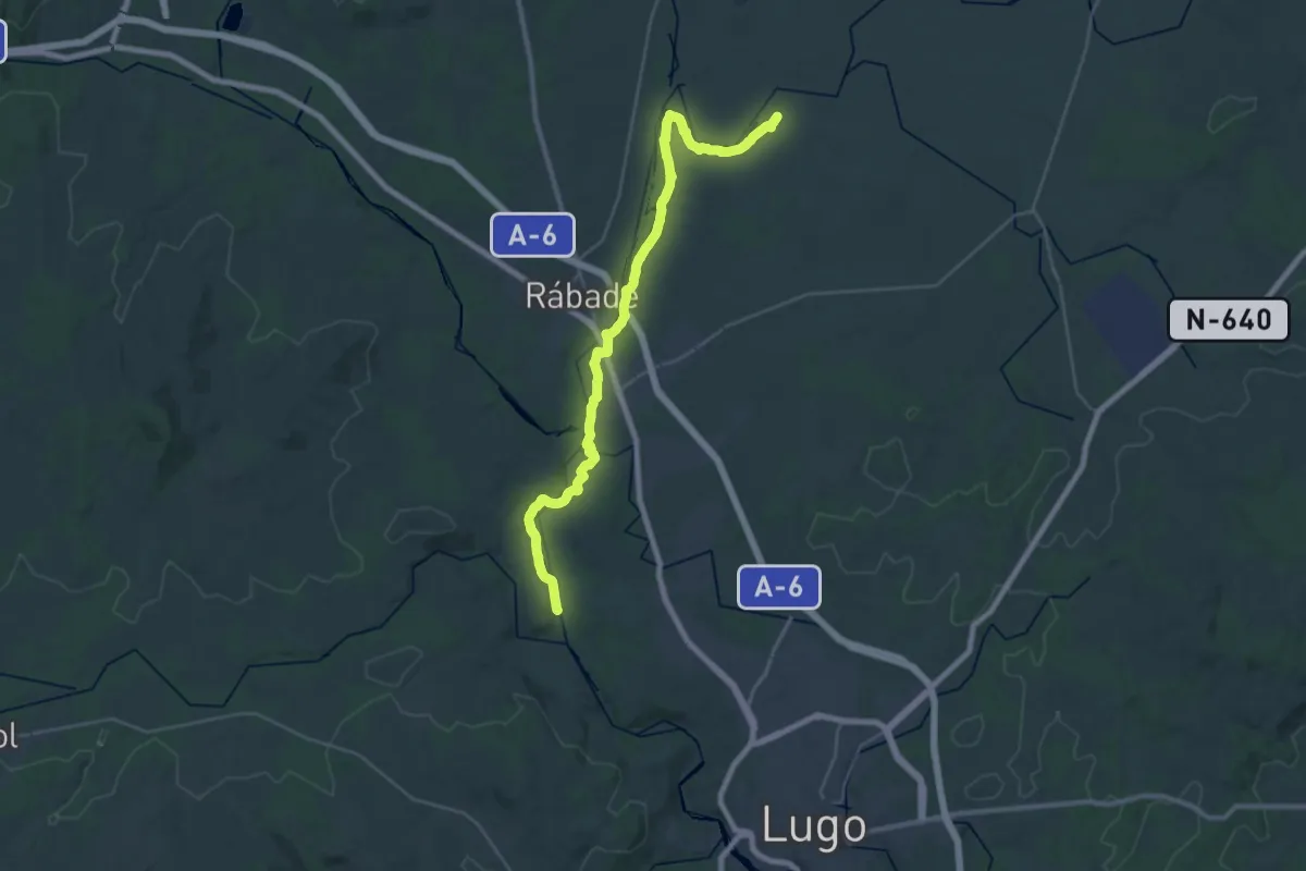
Medium · Trail
Ruta do Camiño do Miño
17.5 km · ↑ 135 m · 4 h 39 min
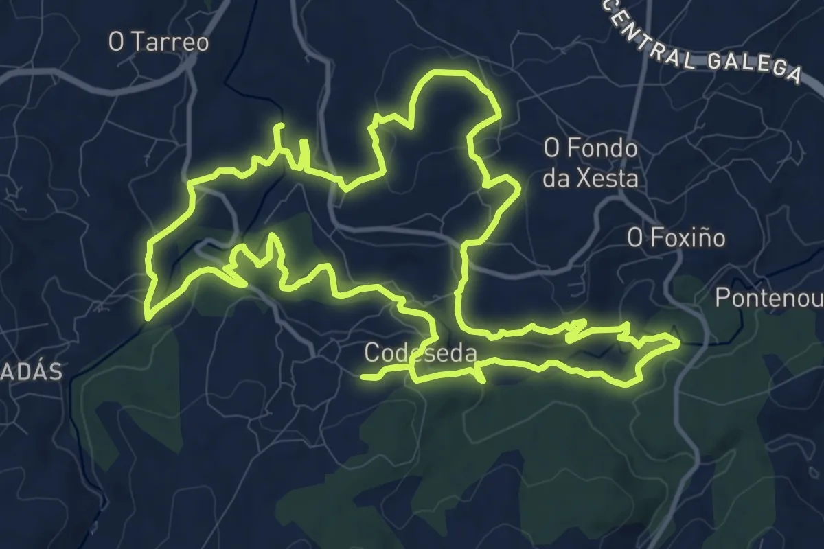
Medium · Trail
Ruta do Castro de Doade
15.0 km · ↑ 323 m · 4 h 27 min
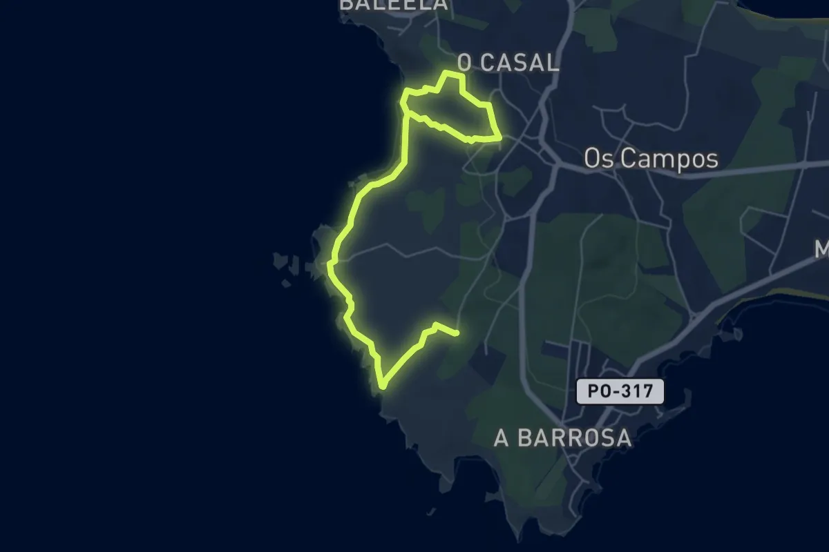
Easy · Trail
Ruta do Con Negro
7.3 km · ↑ 125 m · 2 h
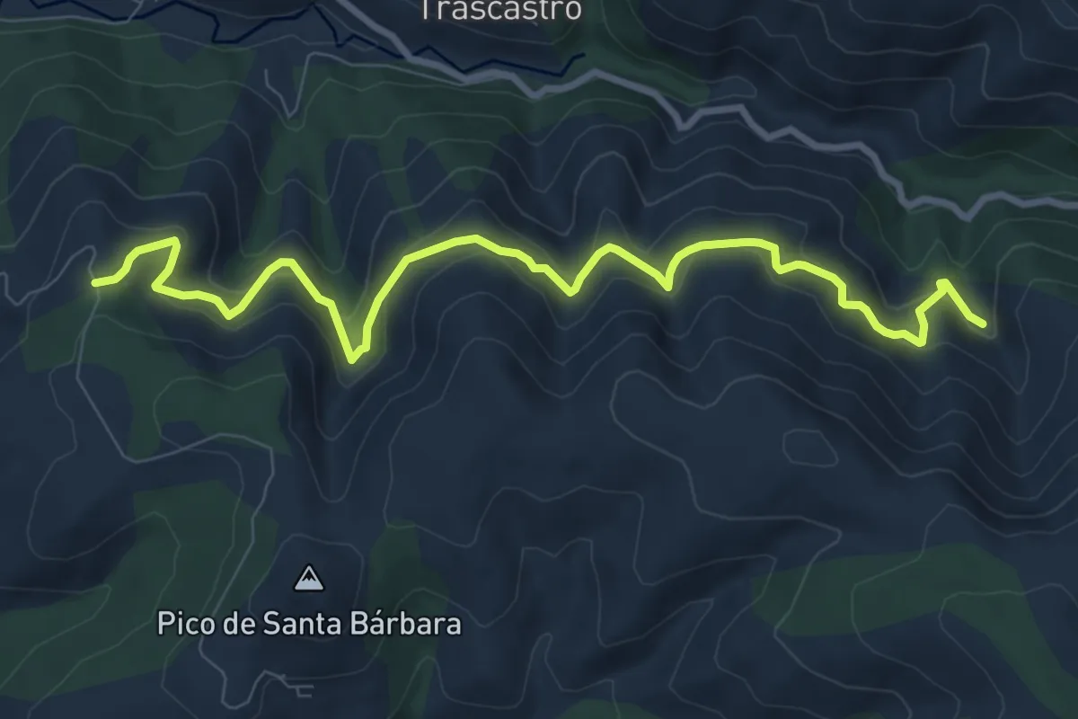
Medium · Trail
Ruta do Ferro
10.4 km · ↑ 557 m · 3 h 39 min
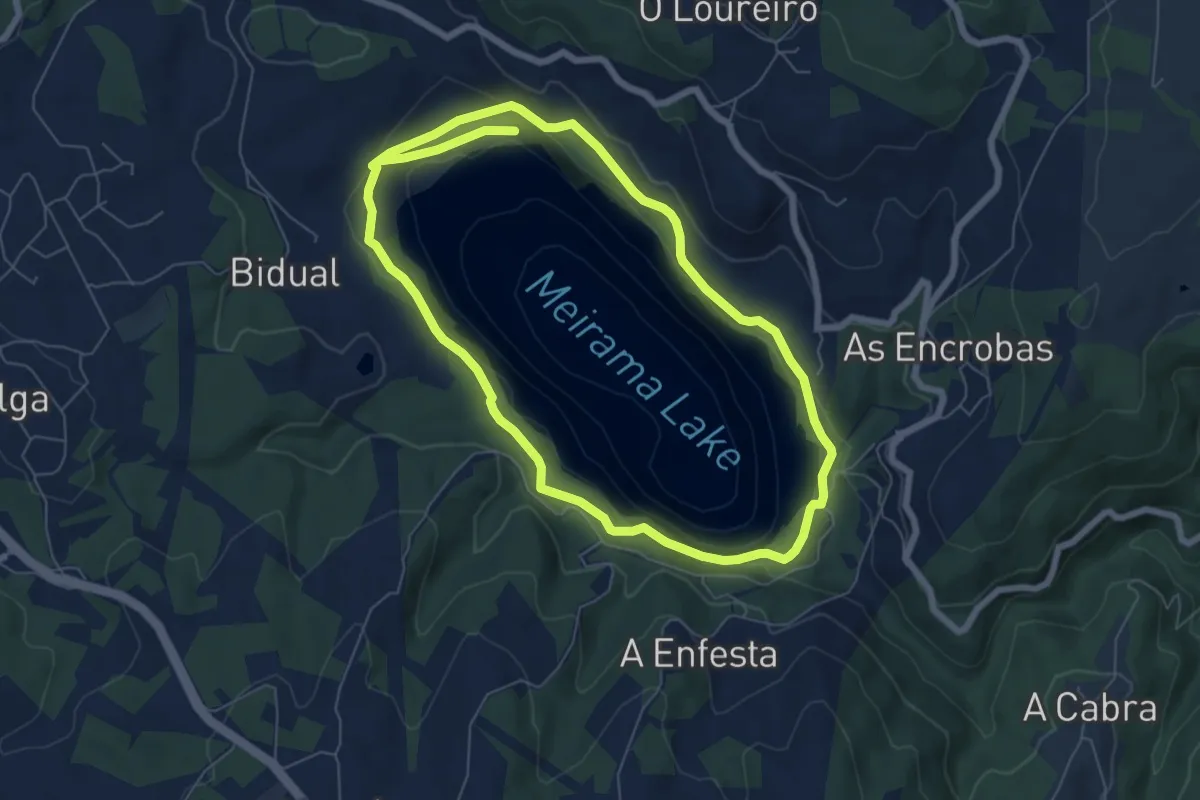
Medium · Trail
Ruta do Lago das Encrobas
13.6 km · ↑ 310 m · 3 h 53 min