Trails in Spain
5,962 hiking trails, each with its route, climb, walking time and grade.
All trails, page 95 of 125
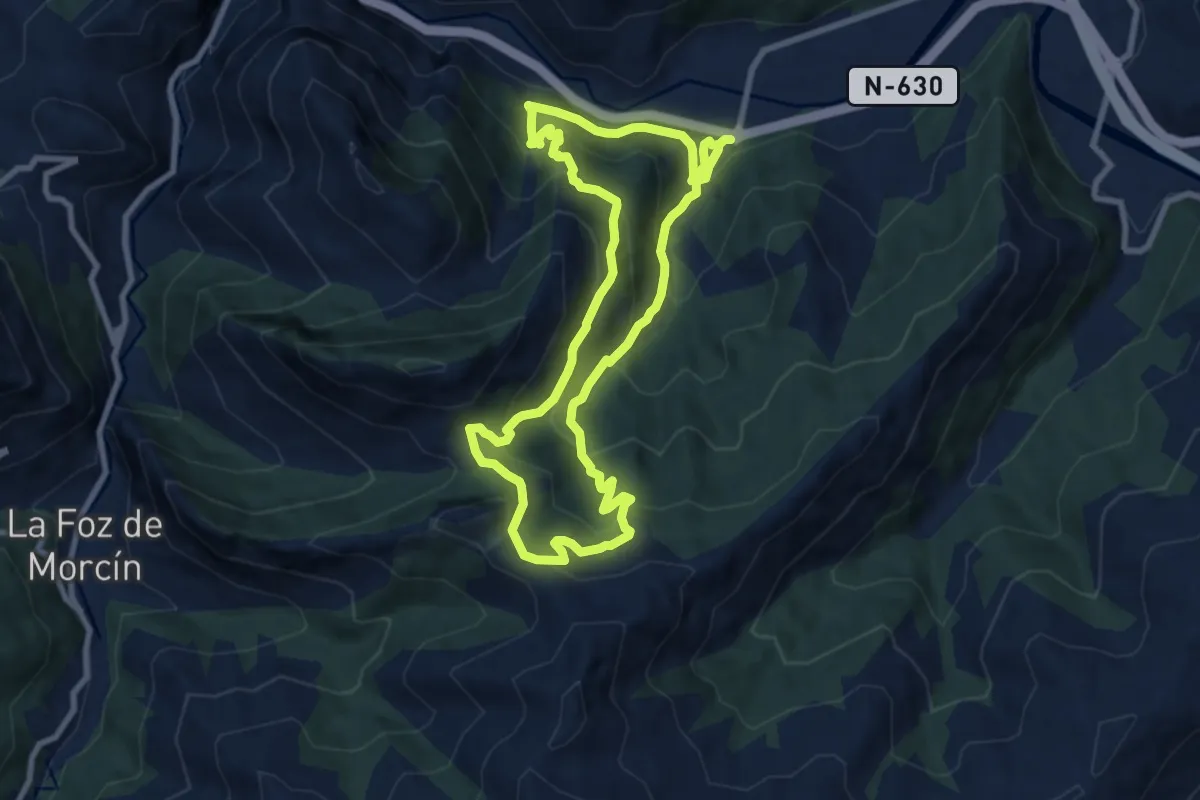
Medium · Trail
Senda del Valle de Lloreo
8.5 km · ↑ 598 m · 3 h 25 min
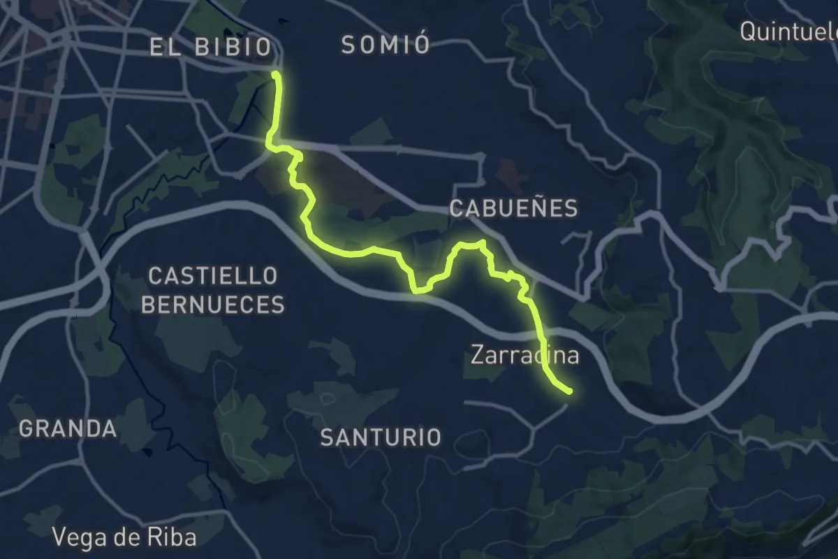
Medium · Trail
Senda de Peña Francia (peatonal)
12.7 km · ↑ 79 m · 3 h 11 min
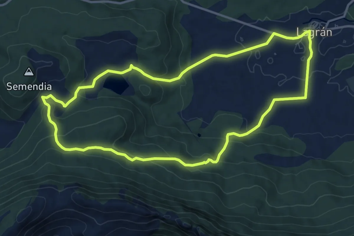
Medium · Trail
Senda de Pipaón
9.6 km · ↑ 295 m · 3 h 3 min
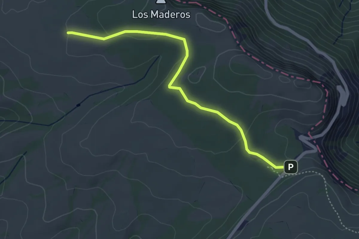
Easy · Trail
Senda de Pozolagua
5.0 km · ↑ 88 m · 1 h 23 min
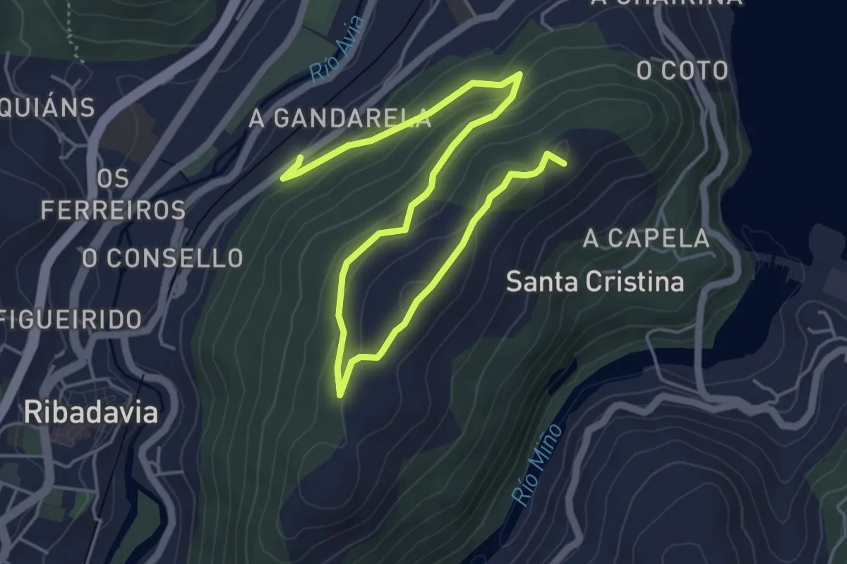
Easy · Summit
Senda de Santa Marta
6.8 km · ↑ 241 m · 2 h 7 min
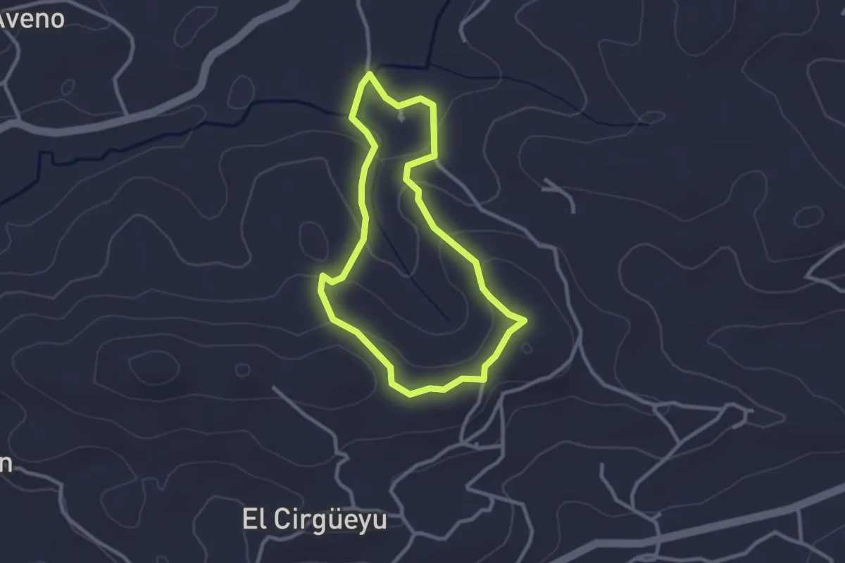
Easy · Trail
Senda de Toceo
2.6 km · ↑ 85 m · 49 min
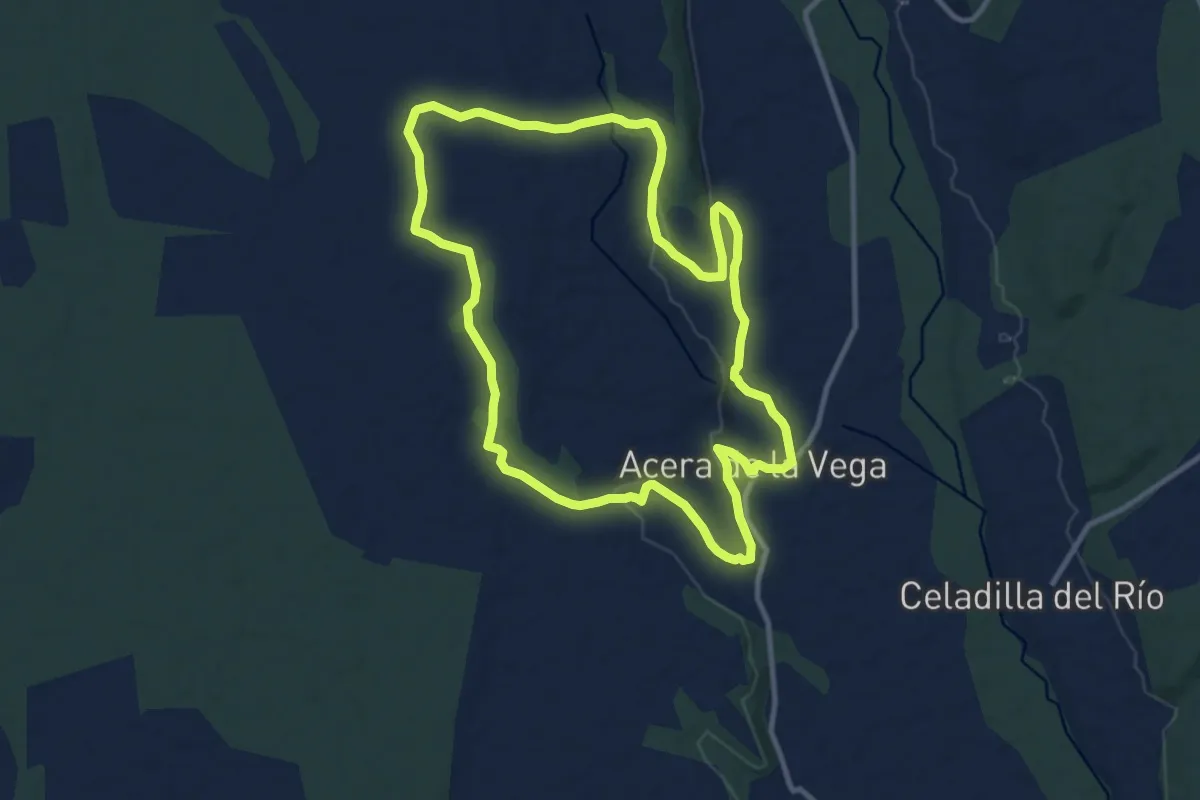
Medium · Trail
Senda de Valdecastro
11.4 km · ↑ 152 m · 3 h 10 min
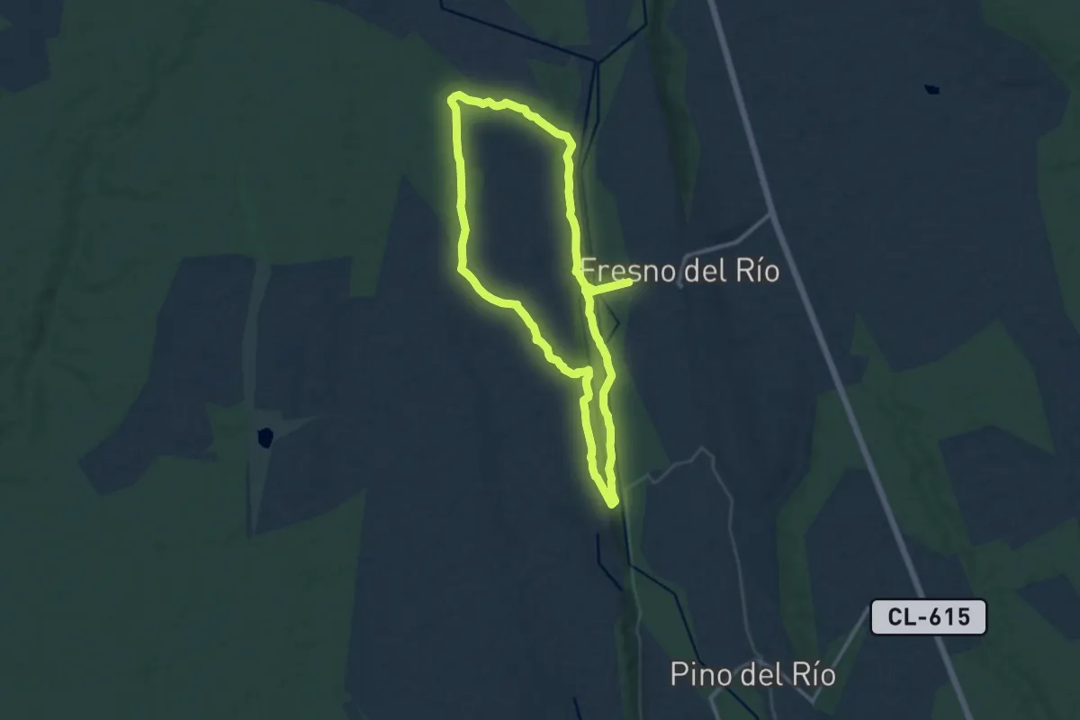
Medium · Trail
Senda de Valdelobos
11.6 km · ↑ 175 m · 3 h 17 min
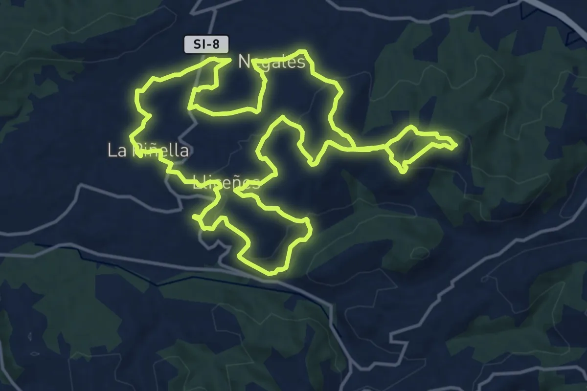
Medium · Trail
Senda de Valdesoto (tramo este)
15.9 km · ↑ 444 m · 4 h 55 min
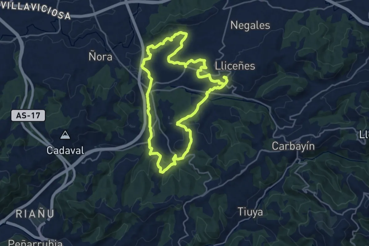
Medium · Trail
Senda de Valdesoto (tramo oeste)
15.1 km · ↑ 405 m · 4 h 38 min
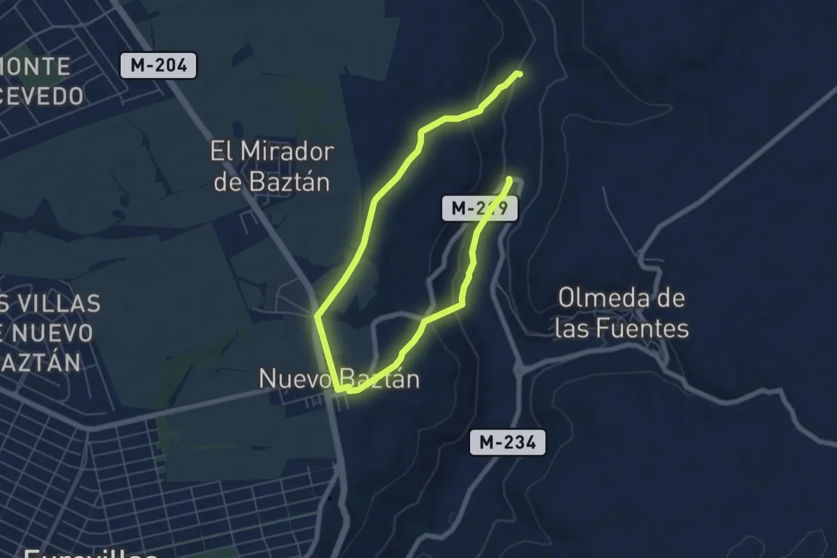
Easy · Trail
Senda de Valmores
4.6 km · ↑ 107 m · 1 h 23 min
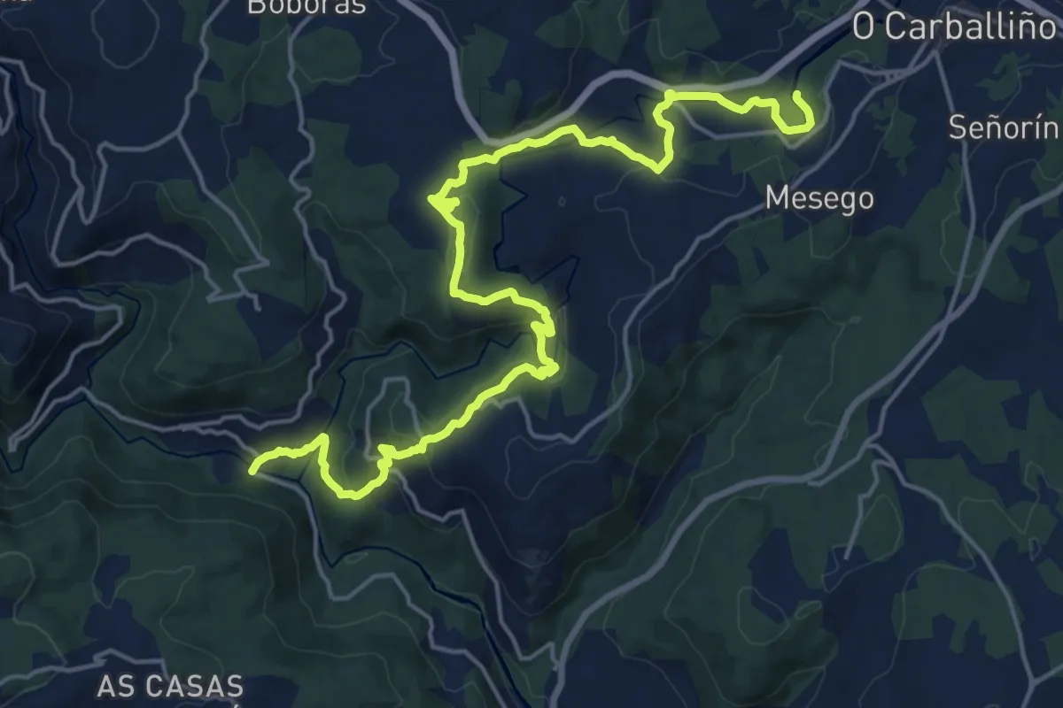
Demanding · Trail
Senda do Arenteiro
23.4 km · ↑ 717 m · 7 h 5 min
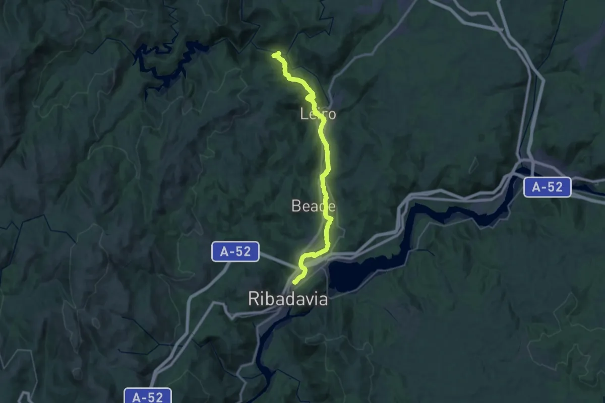
Medium · Trail
Senda do Río Avia
15.7 km · ↑ 312 m · 4 h 35 min
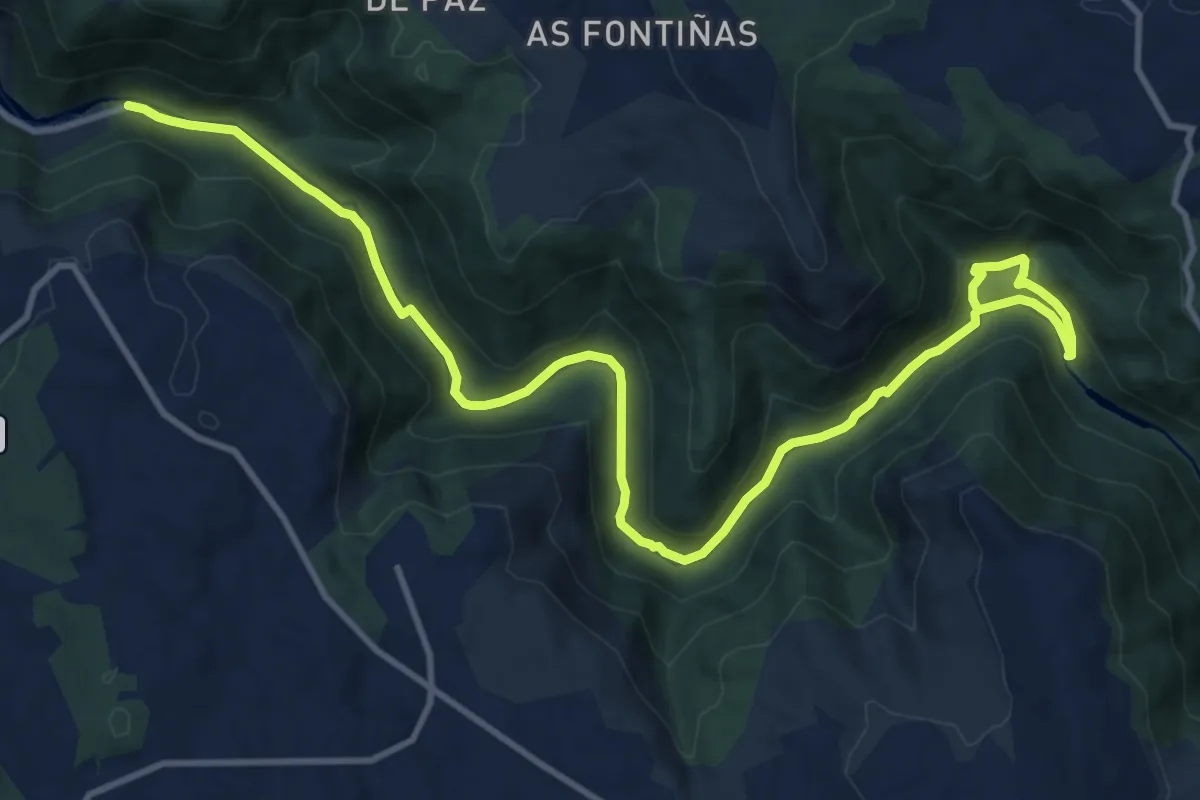
Medium · Trail
Senda dos encomendeiros
15.8 km · ↑ 456 m · 4 h 43 min
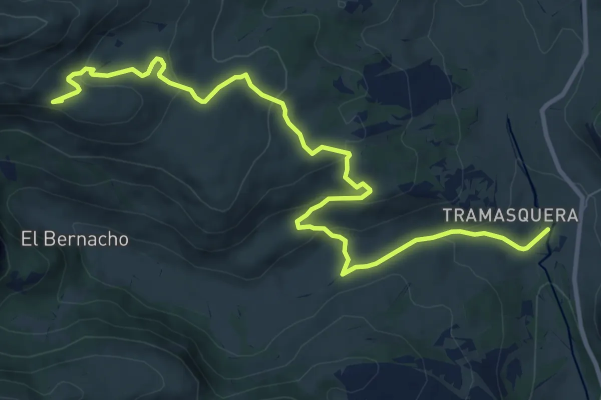
Medium · Summit
Senda El Resquebrajo
10.2 km · ↑ 388 m · 3 h 15 min
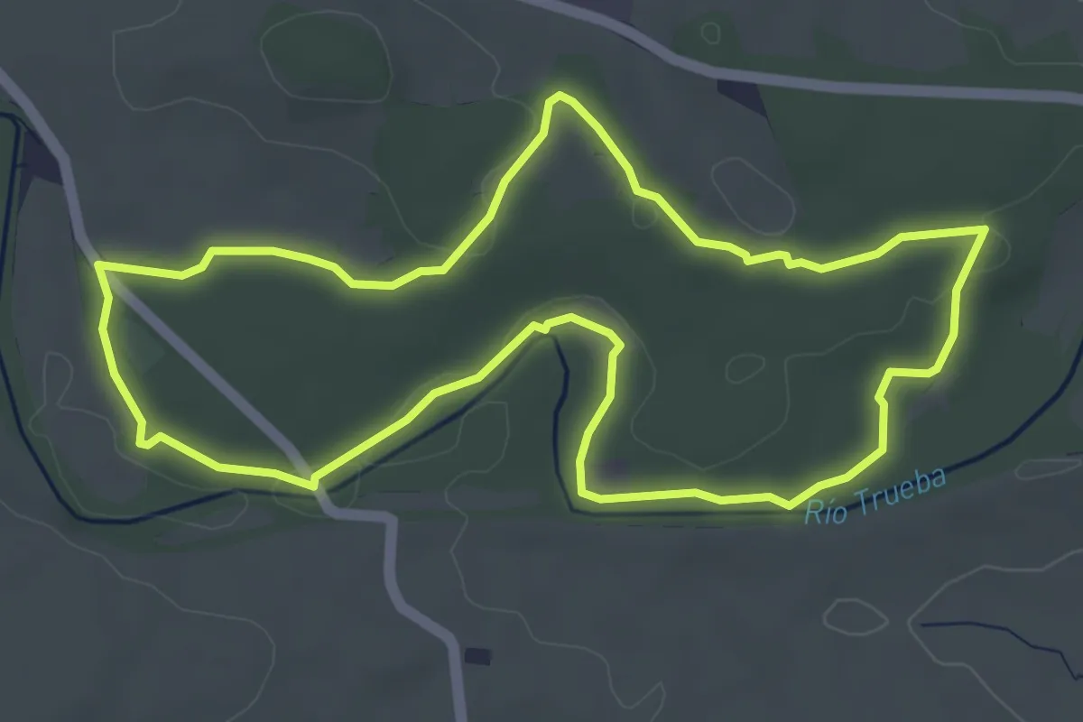
Easy · Trail
Senda El Robledal
4.8 km · ↑ 36 m · 1 h 17 min
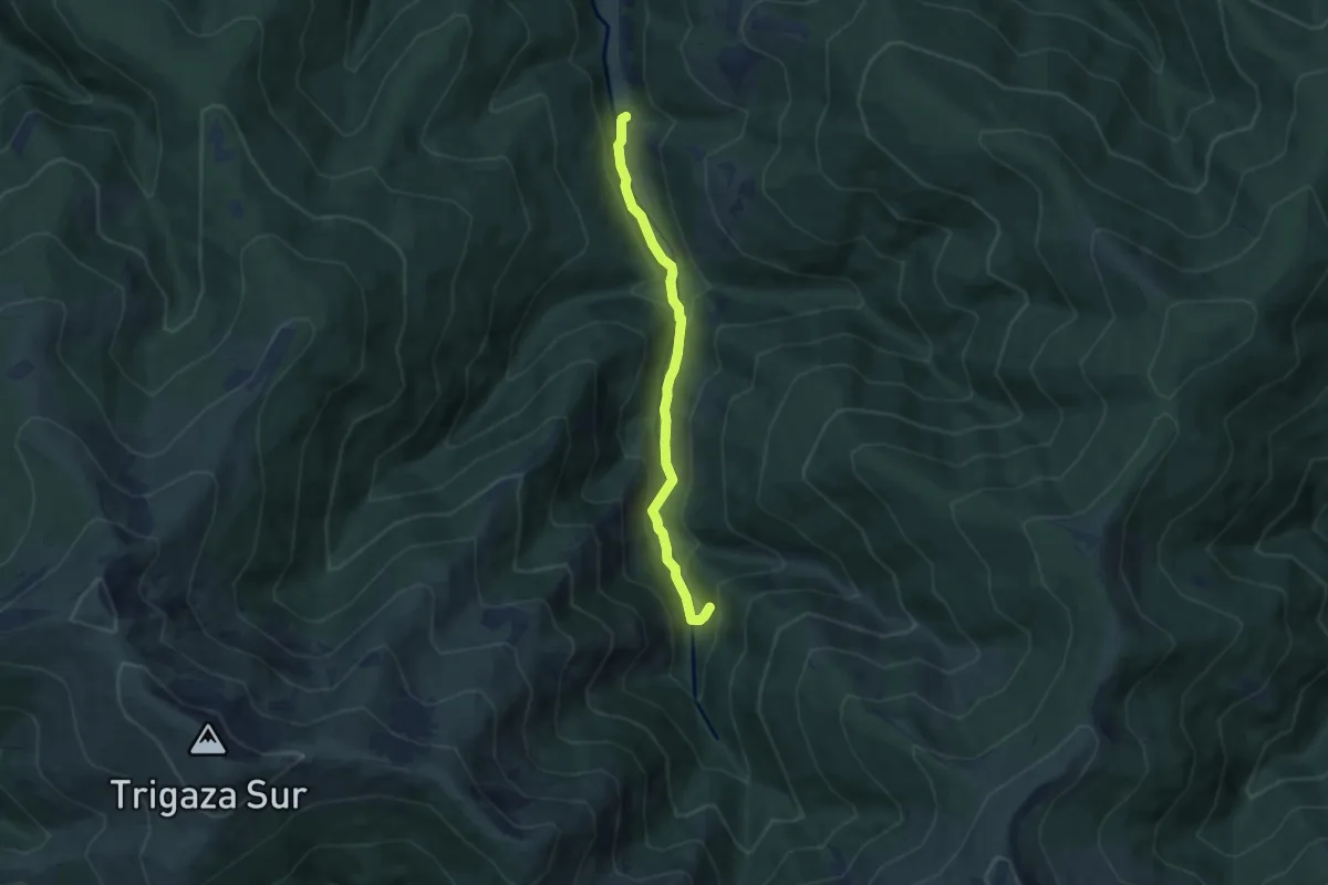
Easy · Cabin
Senda Enrique del Ribero
6.4 km · ↑ 232 m · 2 h 1 min
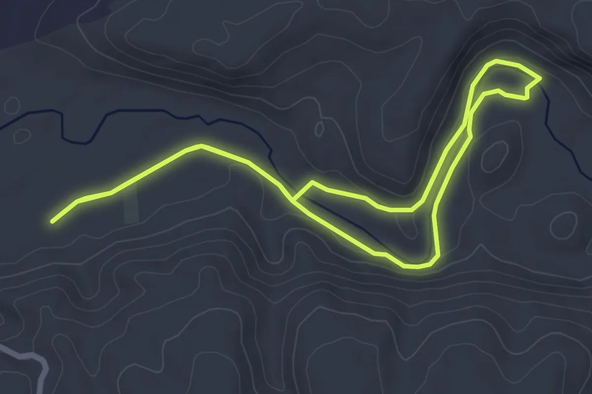
Easy · Trail
Senda entre Puentes
5.3 km · ↑ 64 m · 1 h 27 min
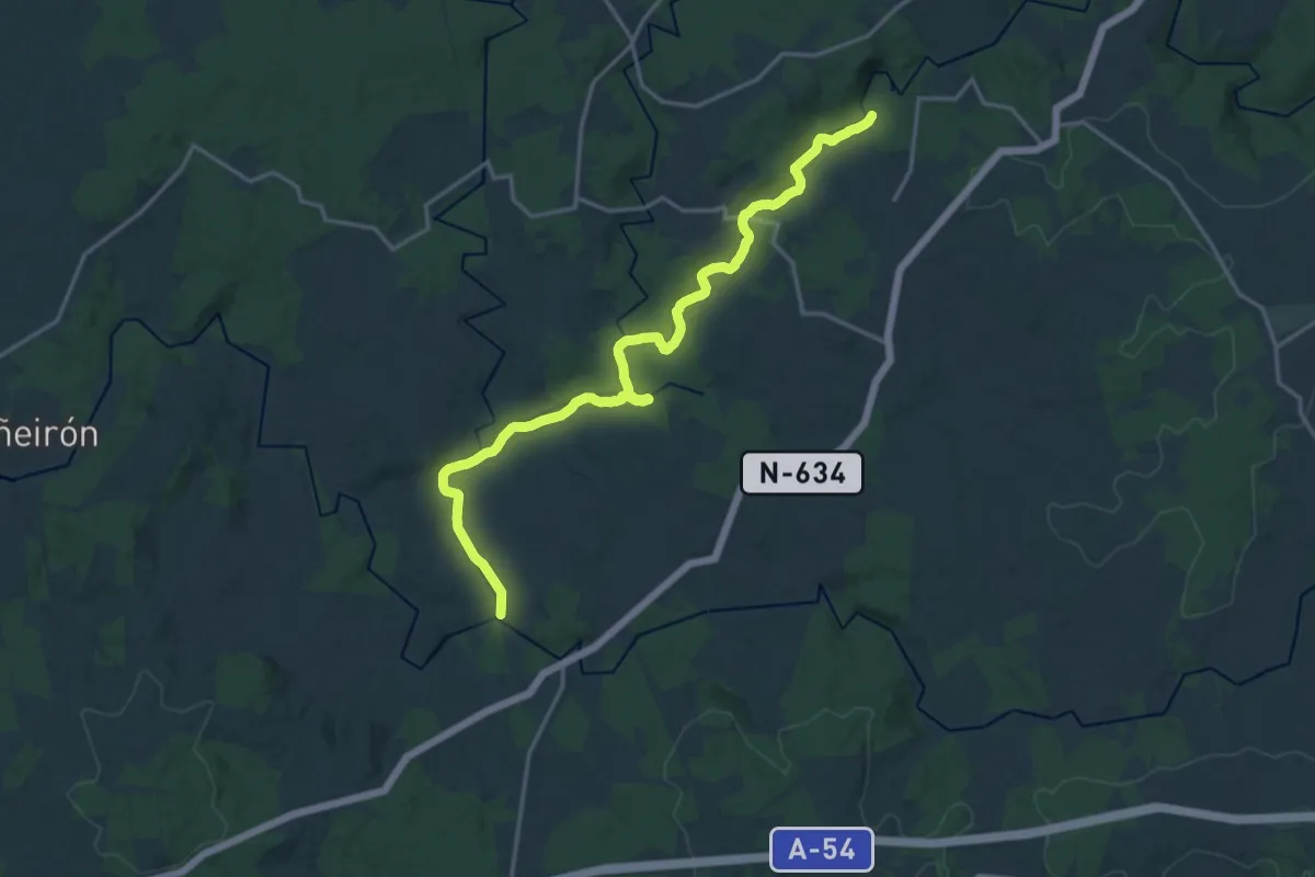
Demanding · Trail
Senda Fluvial da Tarroeira
20.3 km · ↑ 86 m · 4 h 58 min
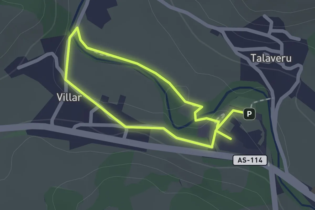
Easy · Trail
Senda Fluvial del Río Güeña
1.3 km · ↑ 9 m · 20 min
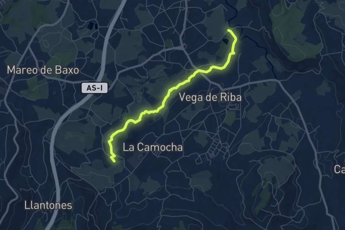
Easy · Trail
Senda fluvial del Rio Llantones (peatonal)
6.7 km · ↑ 45 m · 1 h 41 min
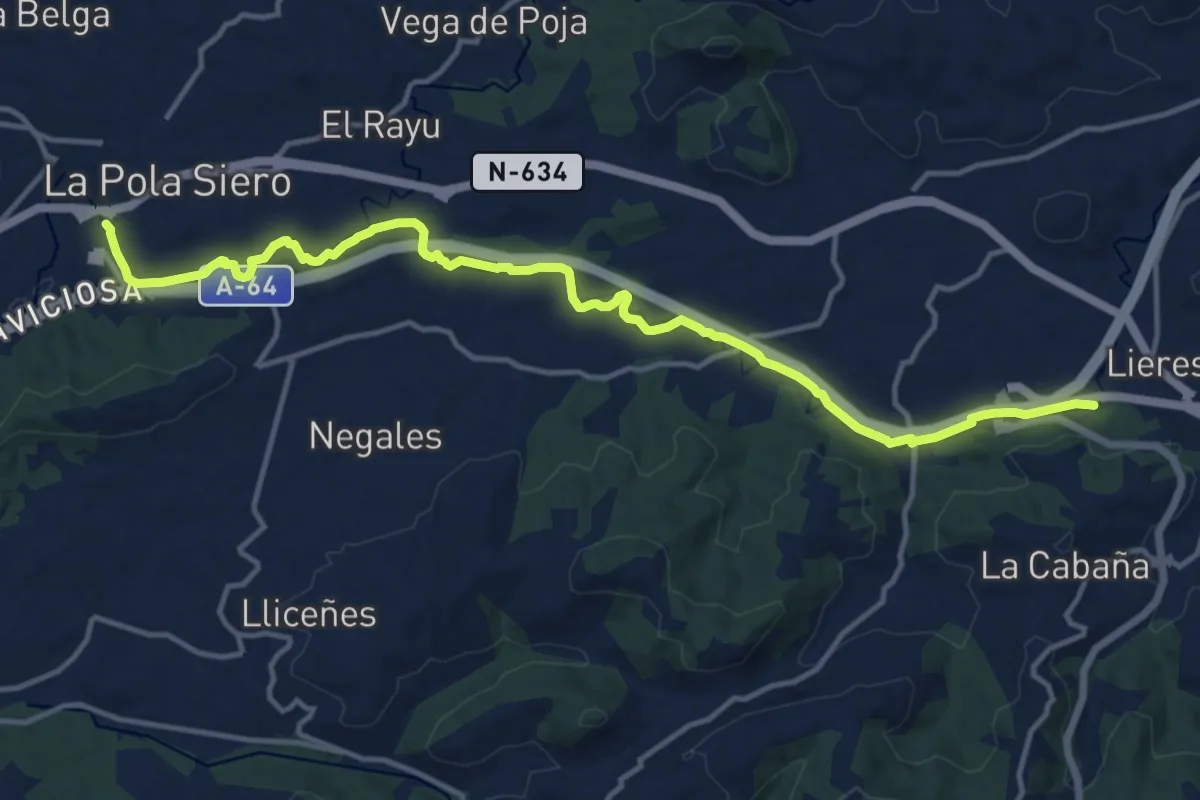
Medium · Trail
Senda fluvial del Río Nora (peatonal)
16.3 km · ↑ 64 m · 3 h 59 min
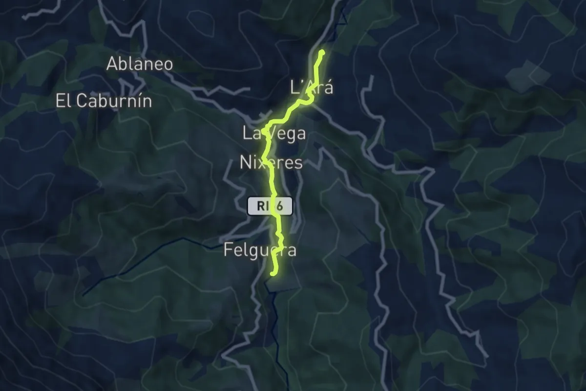
Easy · Trail
Senda Fluvial La Ará - Felguera
5.6 km · ↑ 105 m · 1 h 32 min
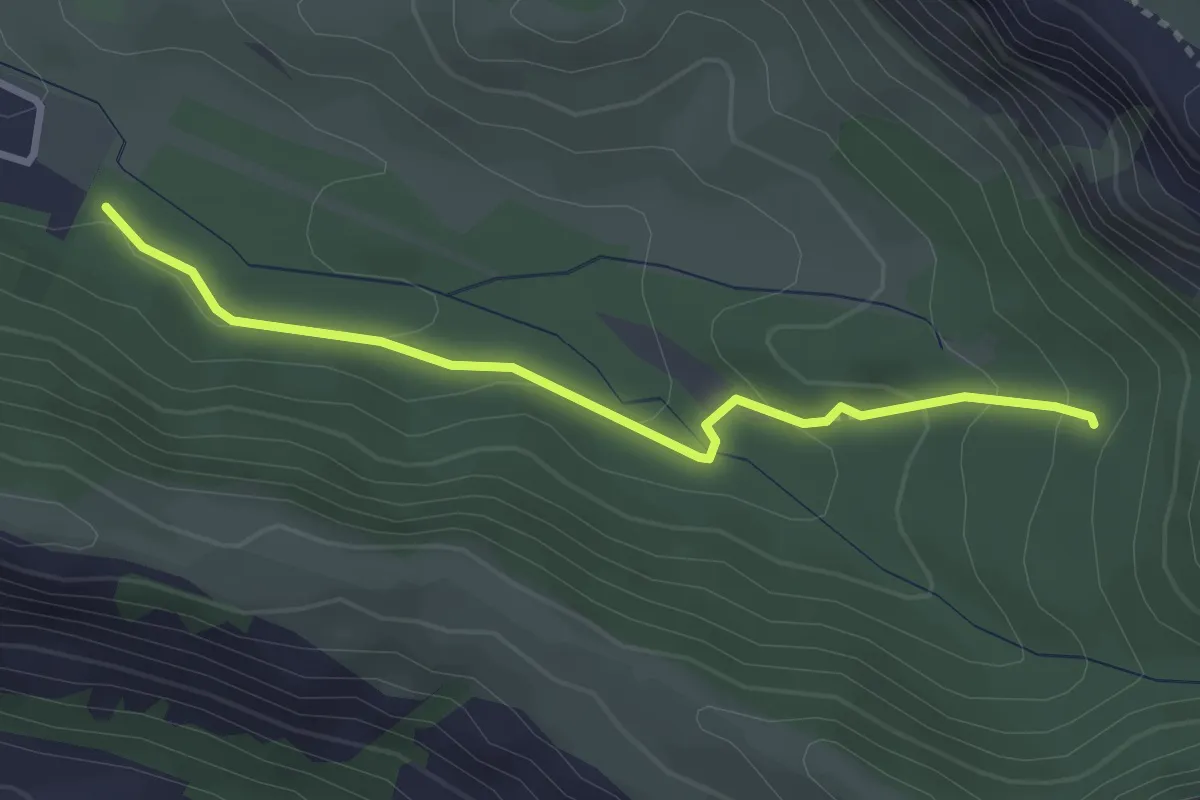
Medium · Trail
Senda Històrica
3.3 km · ↑ 115 m · 1 h 2 min
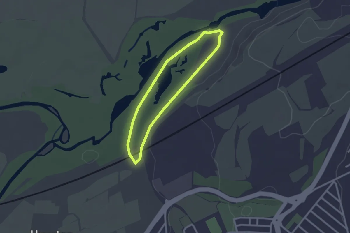
Easy · Trail
Senda Laguna de las Islillas
2.1 km · ↑ 4 m · 32 min
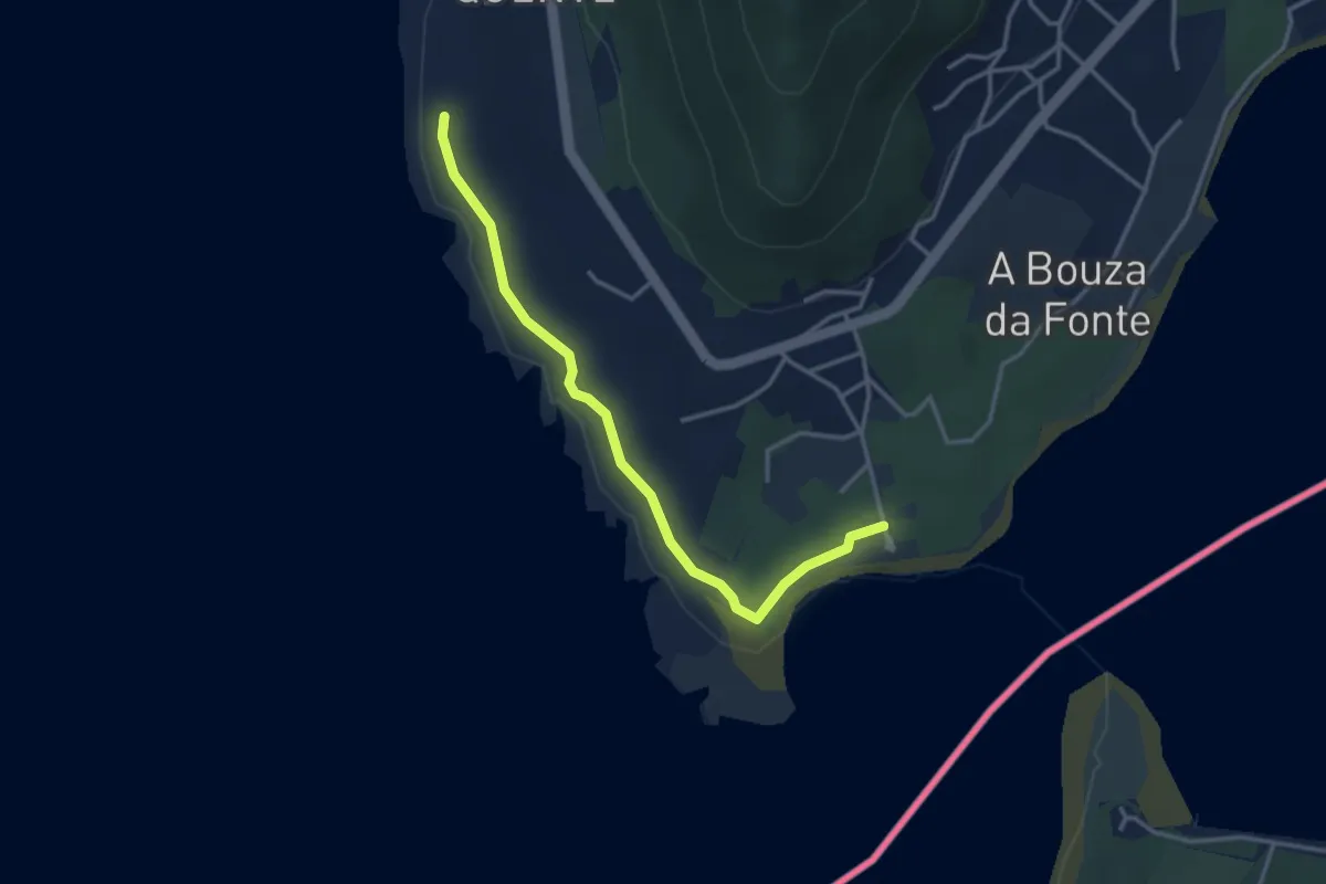
Easy · Trail
Senda Litoral de (A Guarda)
3.7 km · ↑ 9 m · 54 min
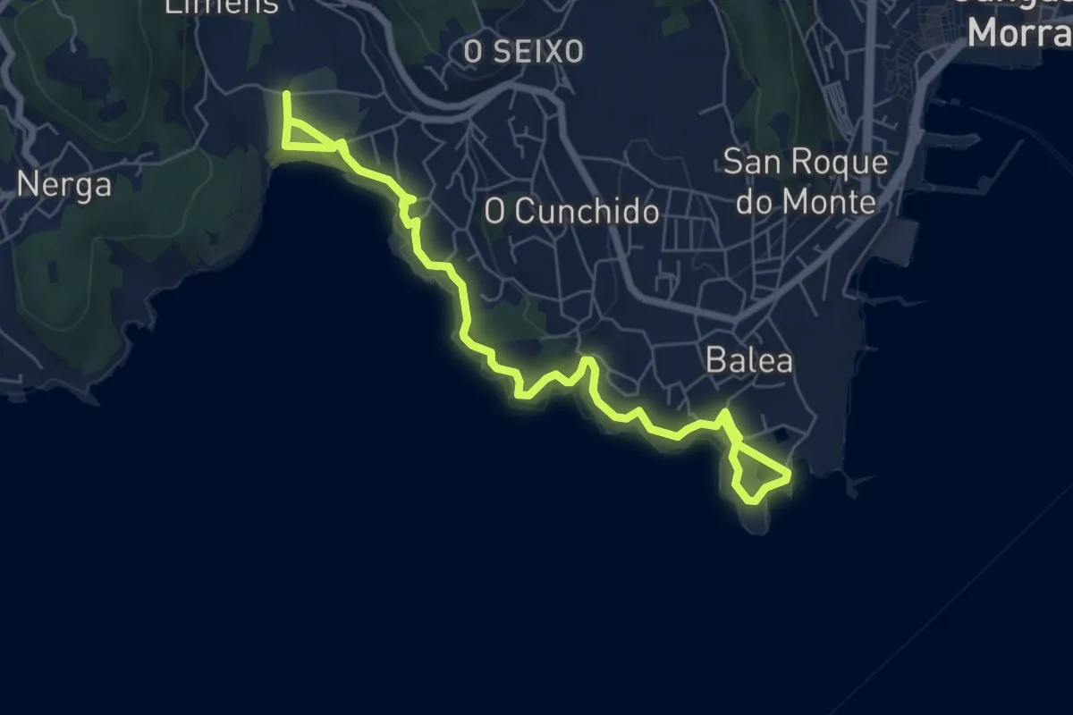
Medium · Trail
Senda litoral de Liméns-Areamilla
8.8 km · ↑ 167 m · 2 h 26 min
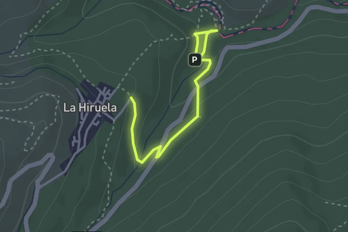
Medium · Trail
Senda Los Oficios de la Vida
1.4 km · ↑ 76 m · 30 min
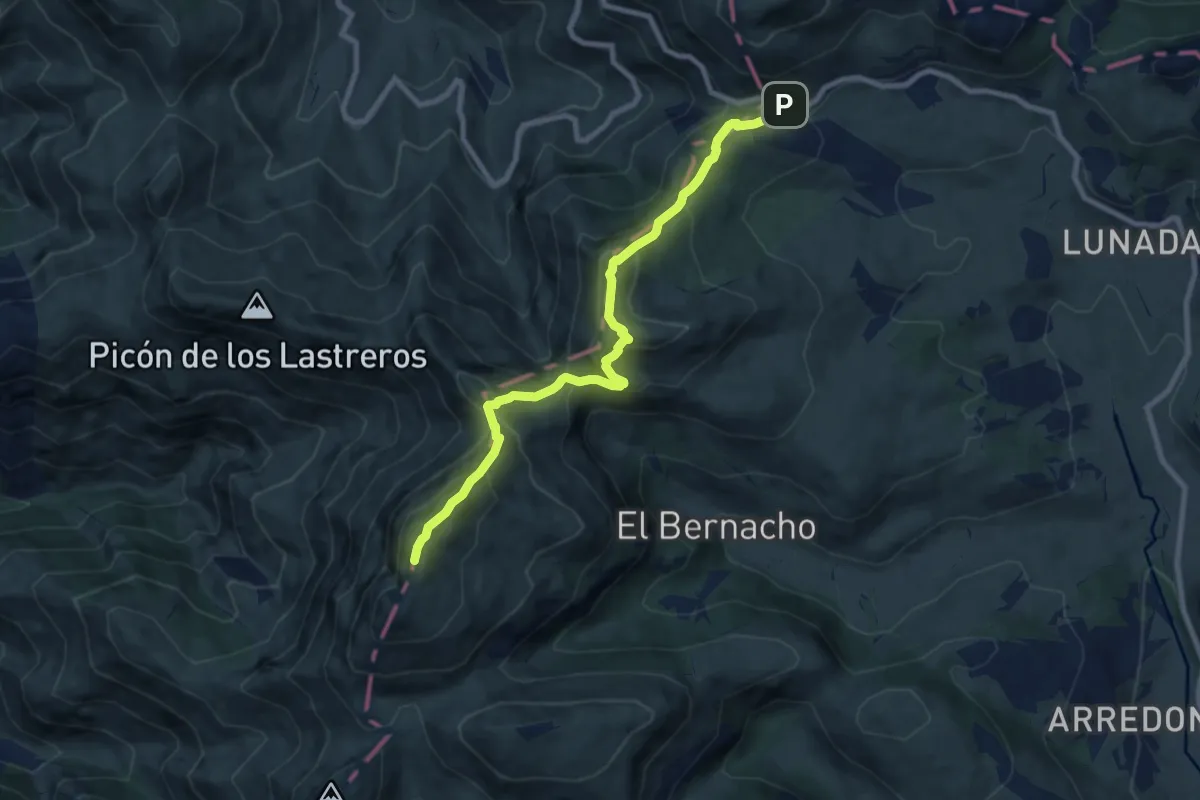
Demanding · Summit
Senda Lunada al Castro Valnera
9.3 km · ↑ 714 m · 3 h 45 min
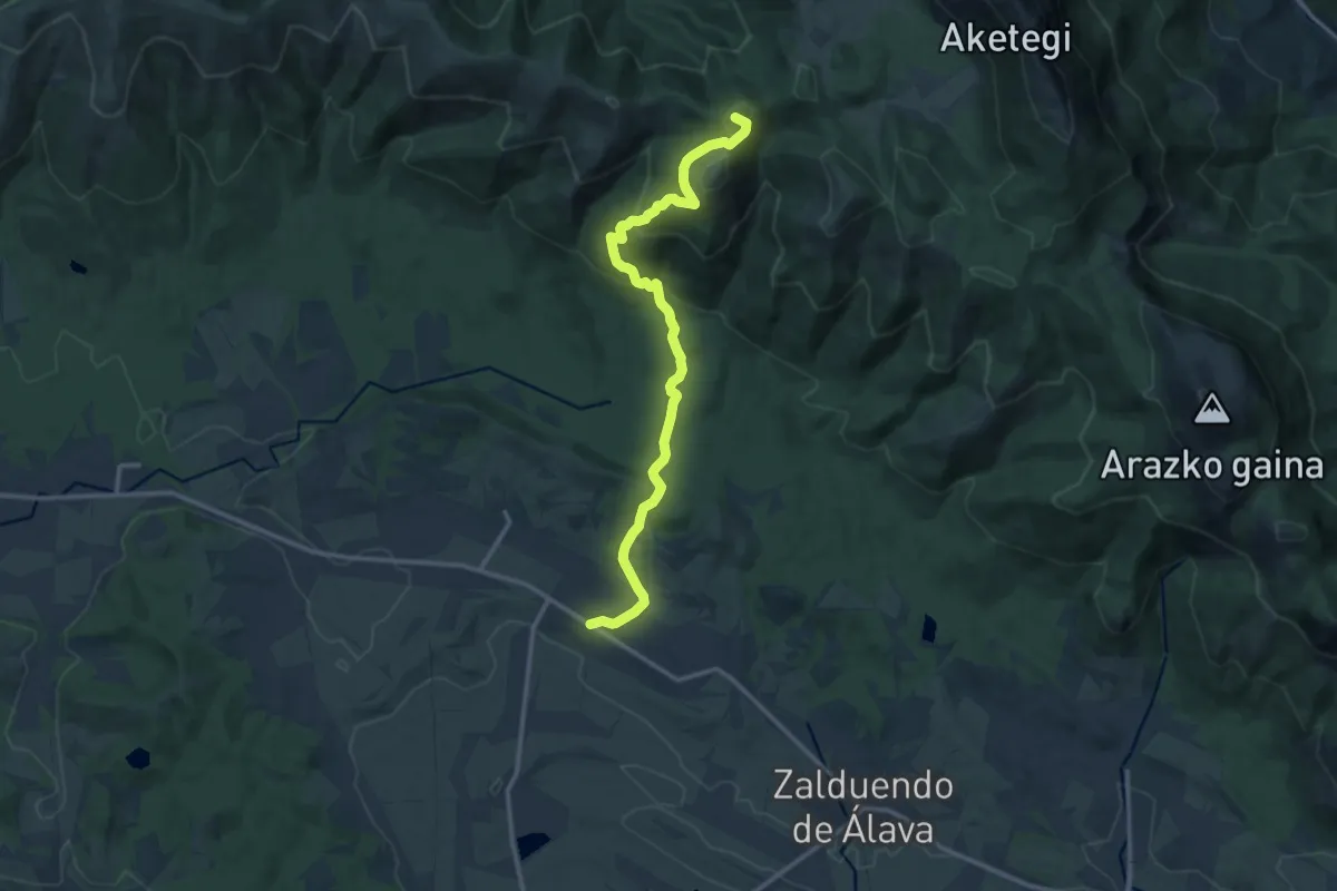
Medium · Summit
Senda Malkorra
14.8 km · ↑ 734 m · 5 h 5 min
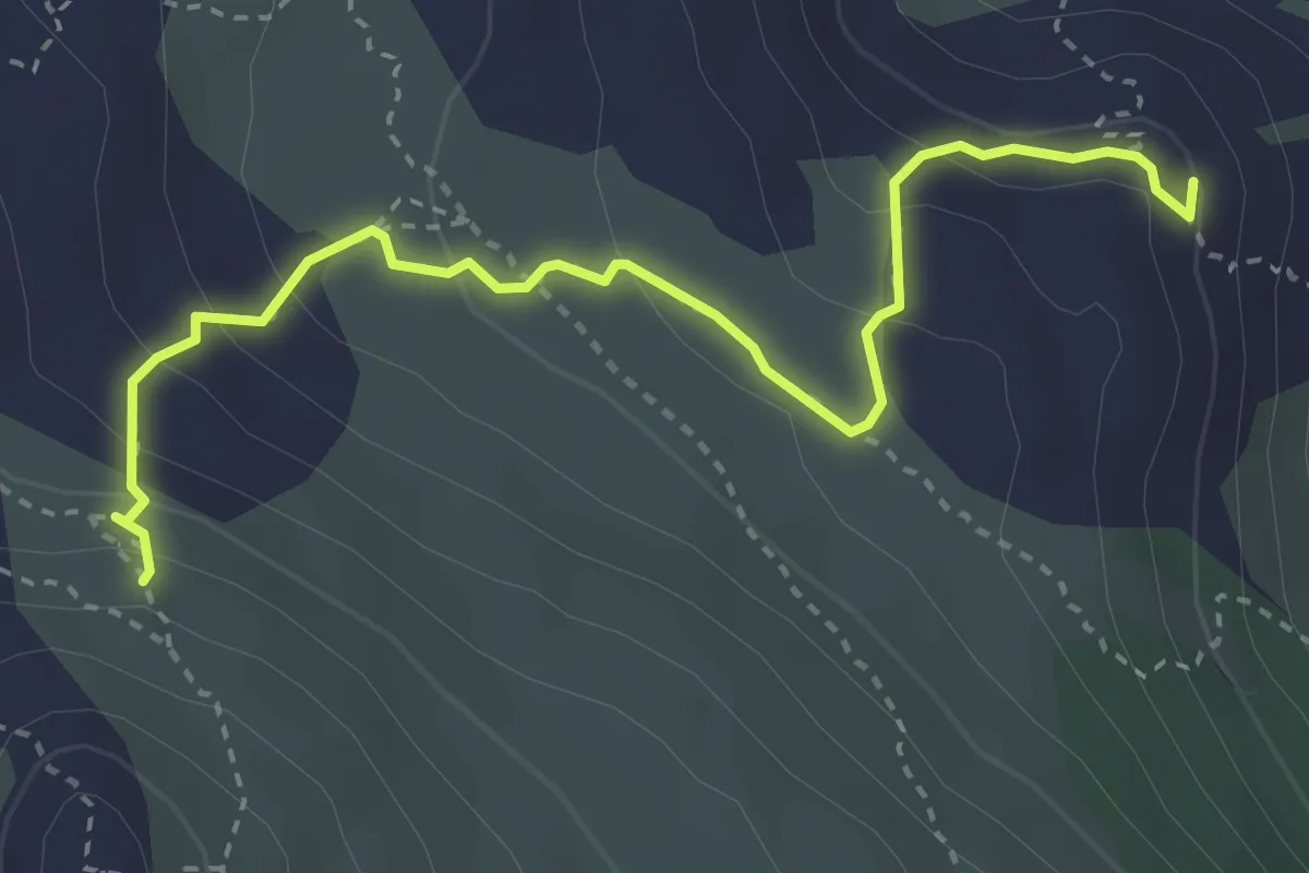
Medium · Summit
Senda Marina
4.0 km · ↑ 224 m · 1 h 26 min
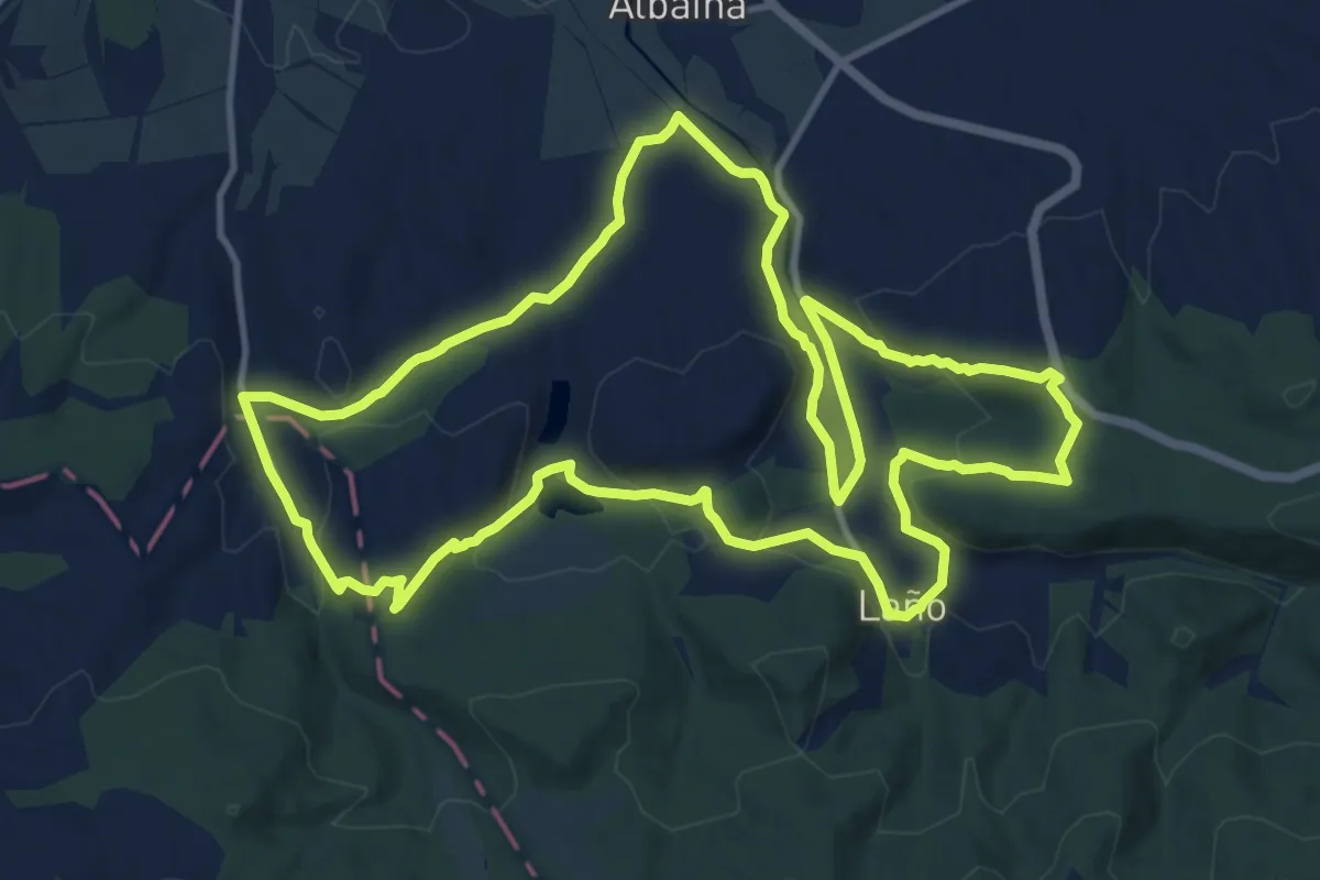
Medium · Summit
Senda Micaela Portilla Ibilbidea
14.6 km · ↑ 376 m · 4 h 28 min
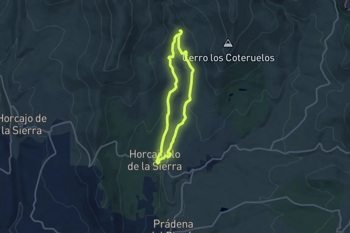
Easy · Trail
Senda Molino del Tio Cecilio
7.8 km · ↑ 158 m · 2 h 17 min
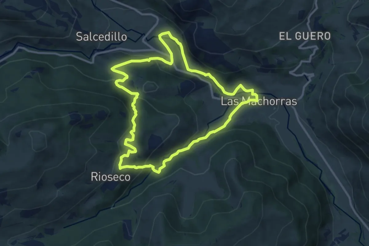
Medium · Trail
Senda Monte la Frente
9.3 km · ↑ 356 m · 3 h 5 min
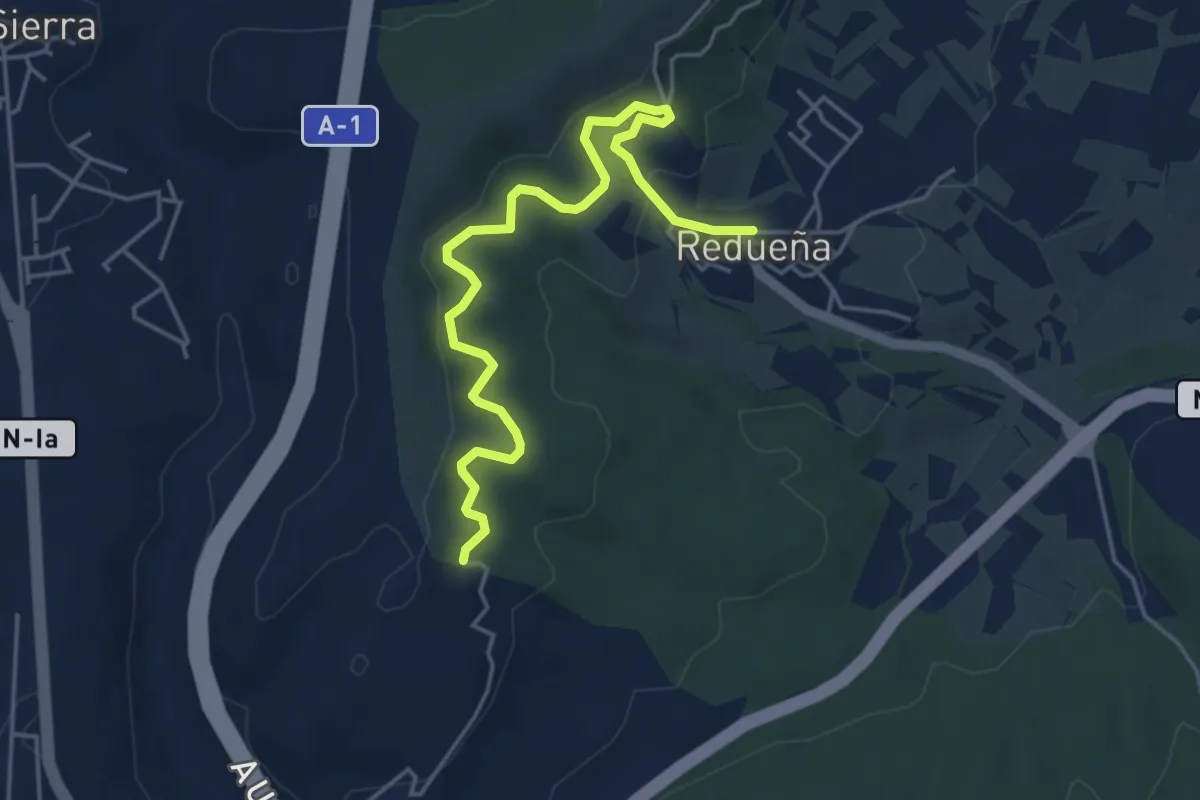
Easy · Trail
Senda para todos. Redueña
5.5 km · ↑ 188 m · 1 h 42 min
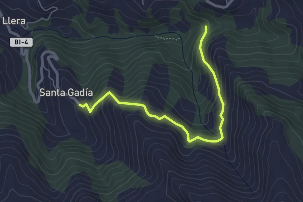
Medium · Trail
Senda Peña del Hombre
5.0 km · ↑ 381 m · 2 h 1 min
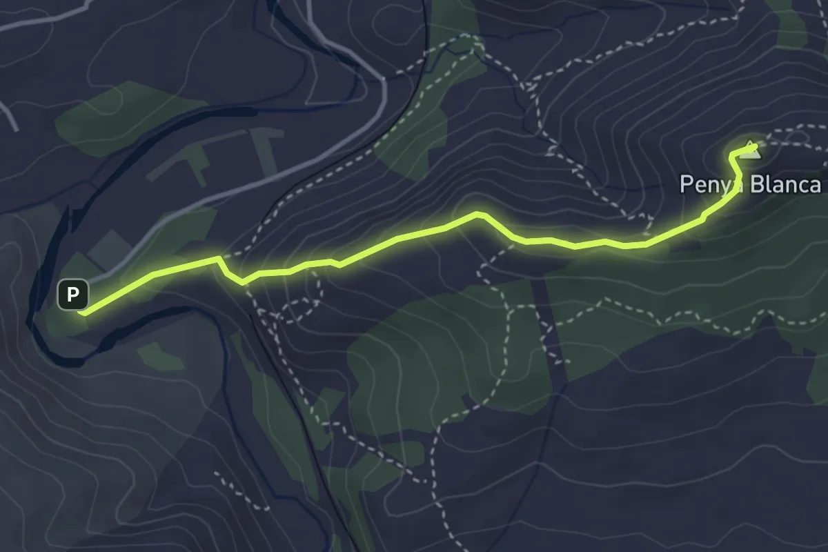
Medium · Summit
Senda Penya Blanca
4.0 km · ↑ 300 m · 1 h 35 min
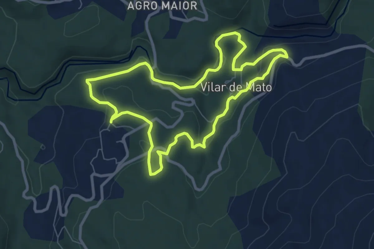
Easy · Trail
Senda Peonil da Ponte do Ramo
6.6 km · ↑ 182 m · 2 h 3 min
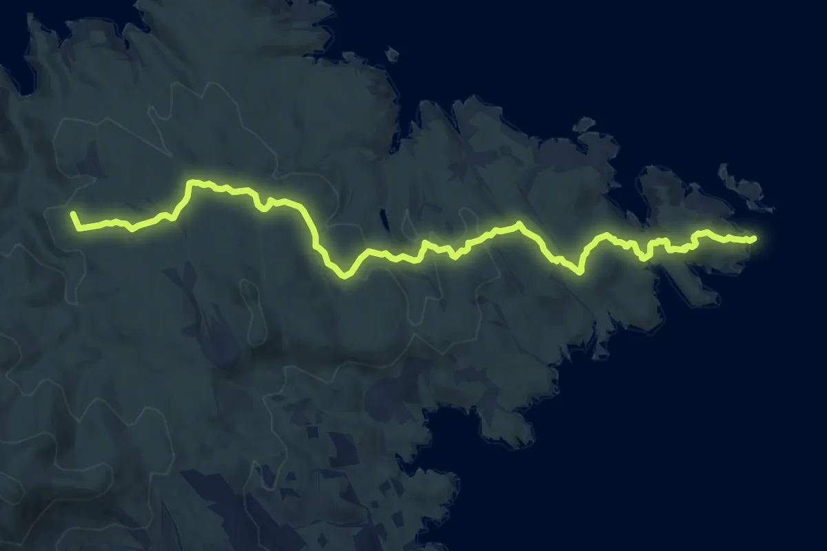
Medium · Summit
Senda Pirenaica - E01
15.2 km · ↑ 407 m · 4 h 29 min
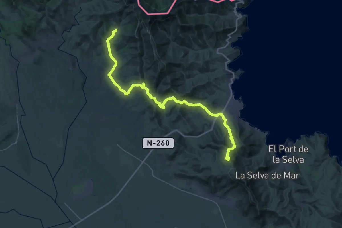
Demanding · Summit
Senda Pirenaica - E02
40.2 km · ↑ 1450 m · 12 h 38 min
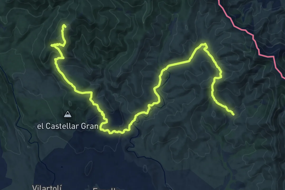
Demanding · Summit
Senda Pirenaica - E03
33.8 km · ↑ 1190 m · 10 h 34 min
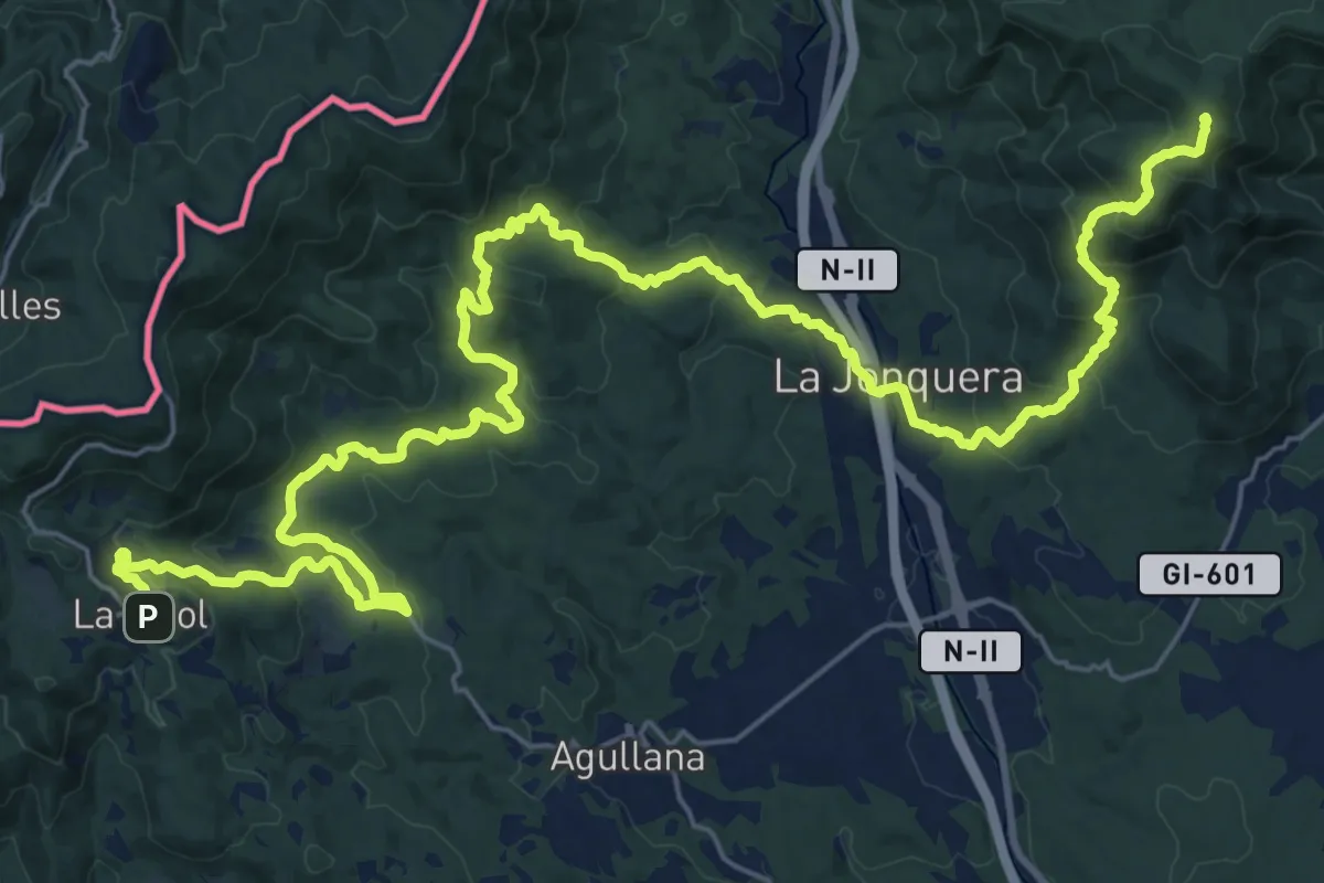
Demanding · Summit
Senda Pirenaica - E04
39.8 km · ↑ 1562 m · 12 h 48 min
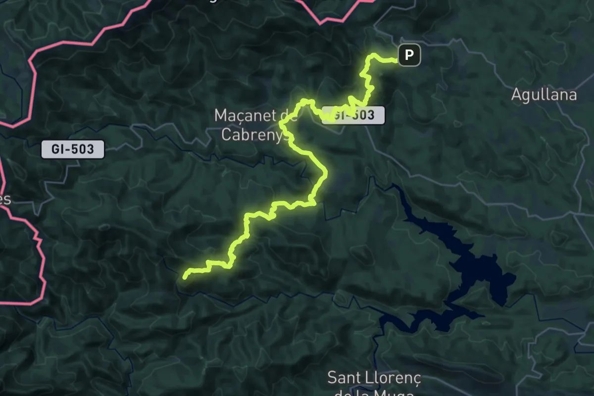
Demanding · Summit
Senda Pirenaica - E05
35.1 km · ↑ 1406 m · 11 h 20 min
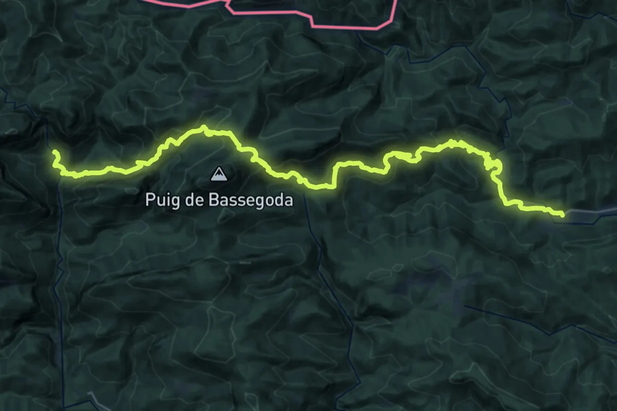
Demanding · Cabin
Senda Pirenaica - E06
18.6 km · ↑ 1204 m · 7 h 9 min
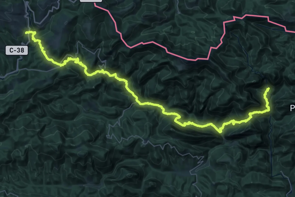
Demanding · Cabin
Senda Pirenaica - E07
26.7 km · ↑ 1119 m · 9 h 28 min
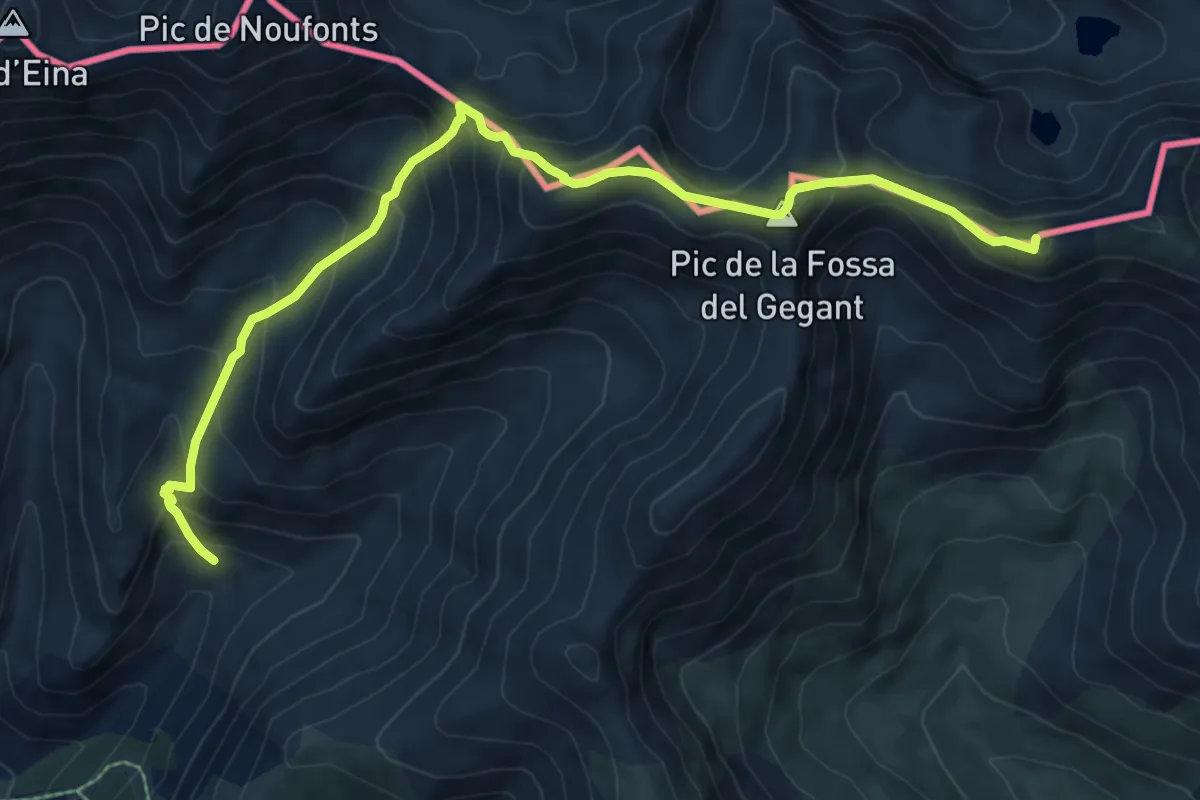
Demanding · Summit
Senda Pirenaica - E09
9.3 km · ↑ 836 m · 4 h
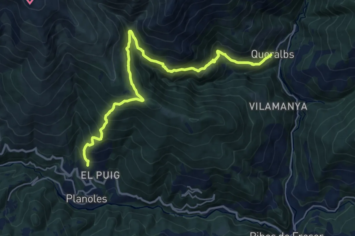
Medium · Trail
Senda Pirenaica - E10
10.3 km · ↑ 716 m · 4 h 9 min
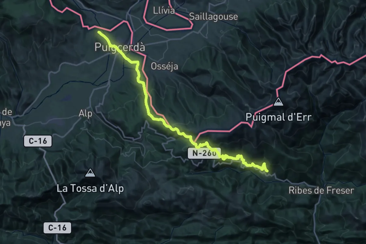
Demanding · Trail
Senda Pirenaica - E11
29.6 km · ↑ 1180 m · 9 h 59 min