Trails in Spain
5,962 hiking trails, each with its route, climb, walking time and grade.
All trails, page 97 of 125
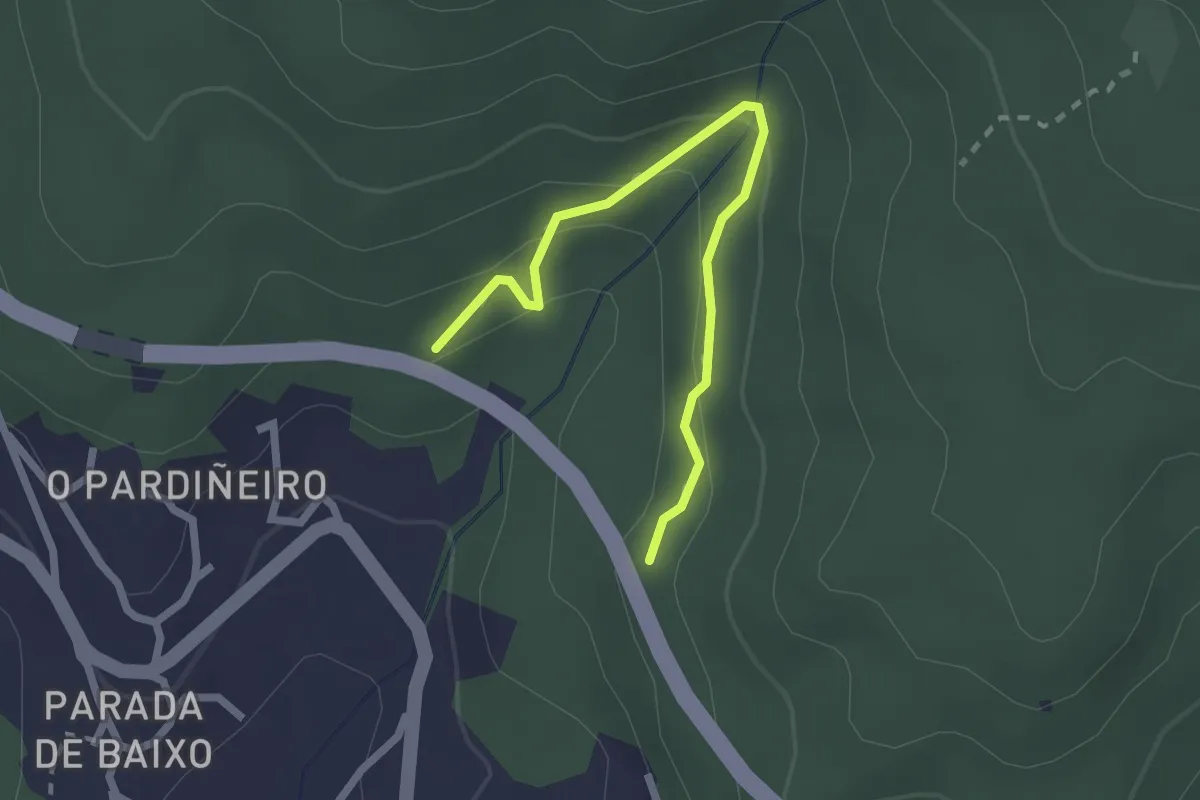
Easy · Trail
Sendeiro da Fraga de Coiro
2.5 km · ↑ 140 m · 54 min
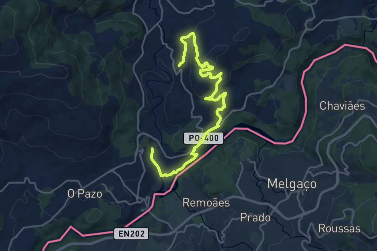
Medium · Trail
Sendeiro da Moura
15.6 km · ↑ 496 m · 4 h 45 min
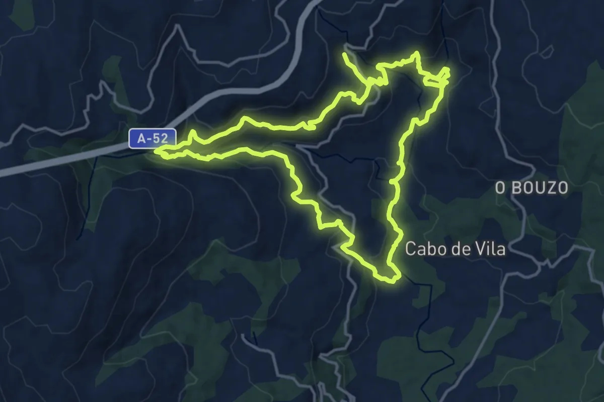
Medium · Trail
Sendeiro das Fragas e levadas do Calvo e Deva
14.5 km · ↑ 709 m · 5 h 11 min
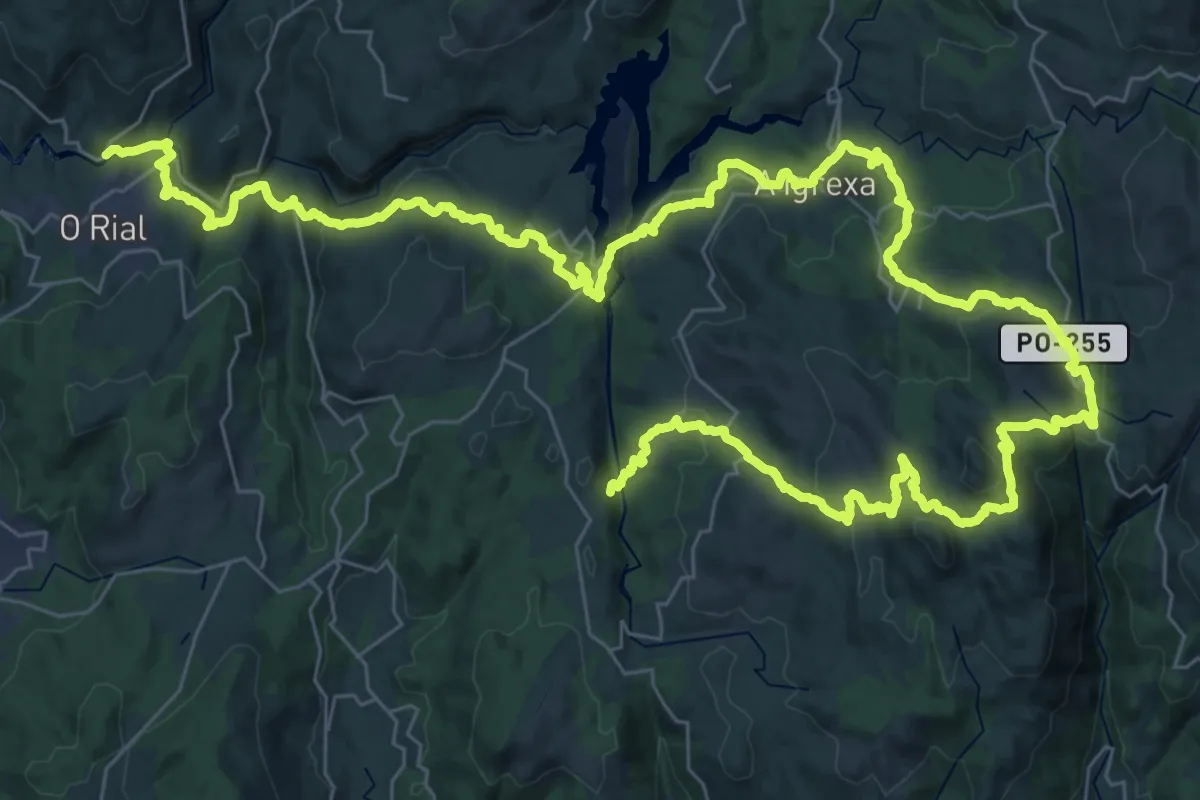
Demanding · Trail
Sendeiro das Greas
35.6 km · ↑ 1062 m · 11 h 21 min
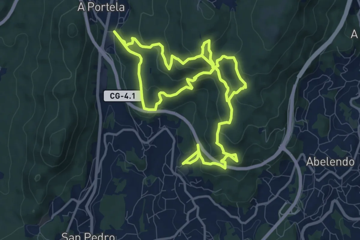
Medium · Trail
Sendeiro das pedras de Coiro
10.5 km · ↑ 614 m · 3 h 51 min
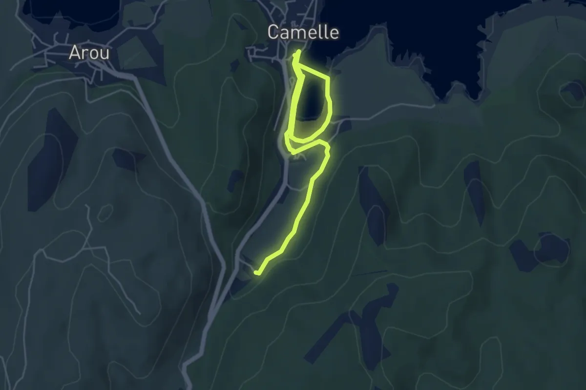
Easy · Trail
Sendeiro de Camelle
6.4 km · ↑ 69 m · 1 h 40 min
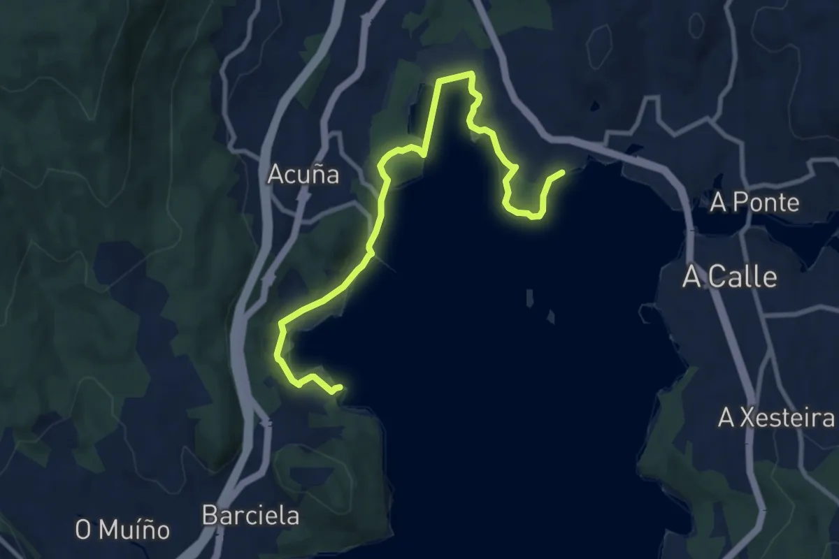
Medium · Trail
Sendeiro de Croa
10.2 km · ↑ 135 m · 2 h 42 min
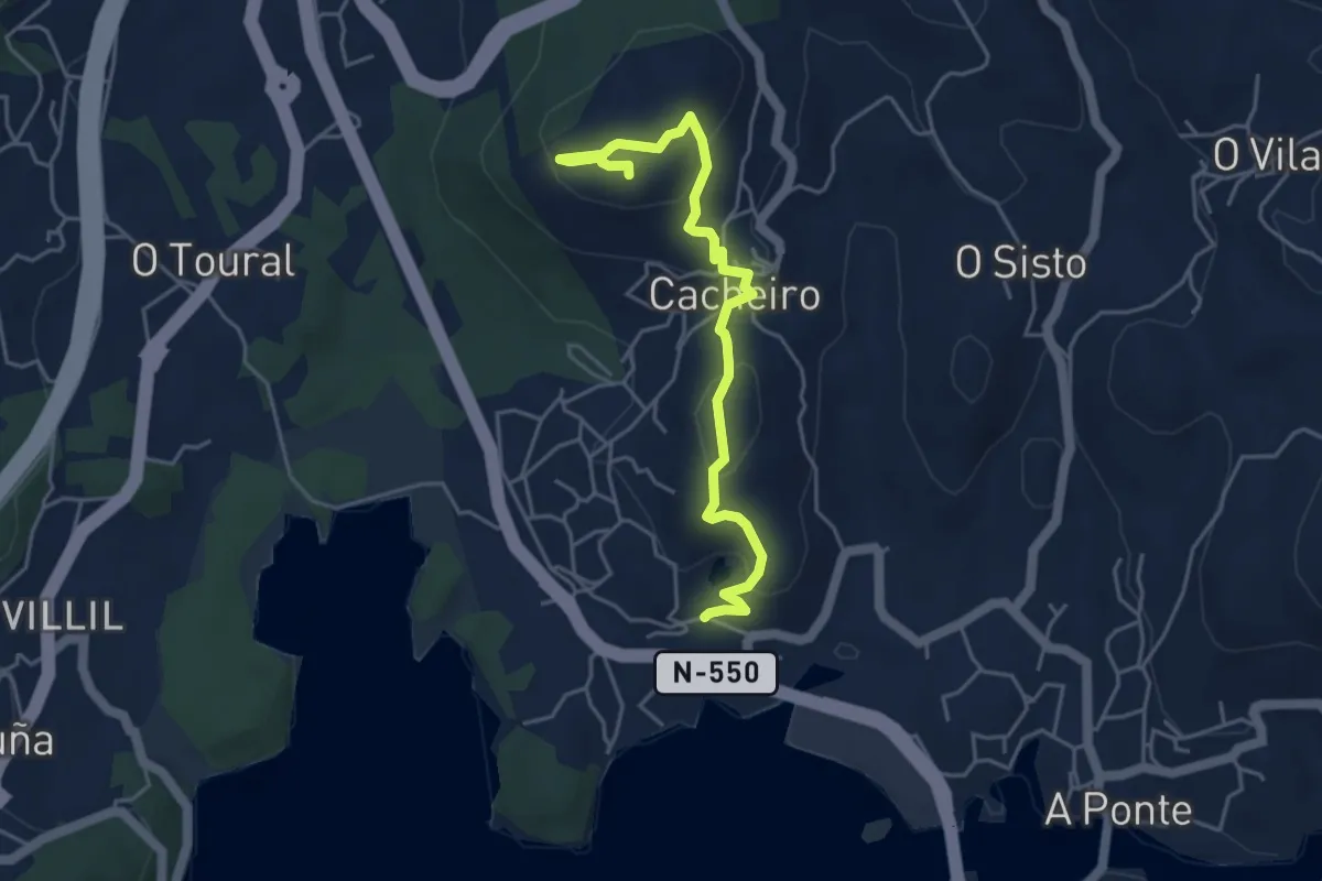
Easy · Trail
Sendeiro de Pedra Miranda
5.2 km · ↑ 188 m · 1 h 38 min
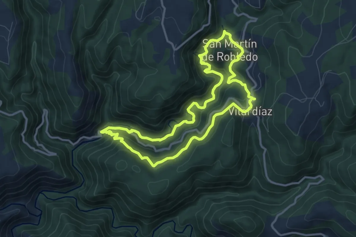
Medium · Trail
Sendeiro de Pena Guímara
9.0 km · ↑ 449 m · 3 h 13 min
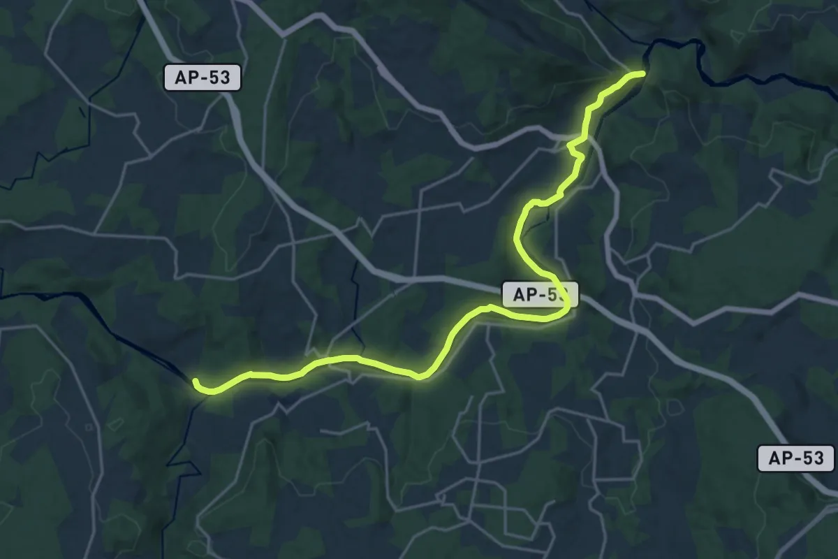
Demanding · Summit
Sendeiro de San Xoán da Cova
22.2 km · ↑ 266 m · 5 h 50 min
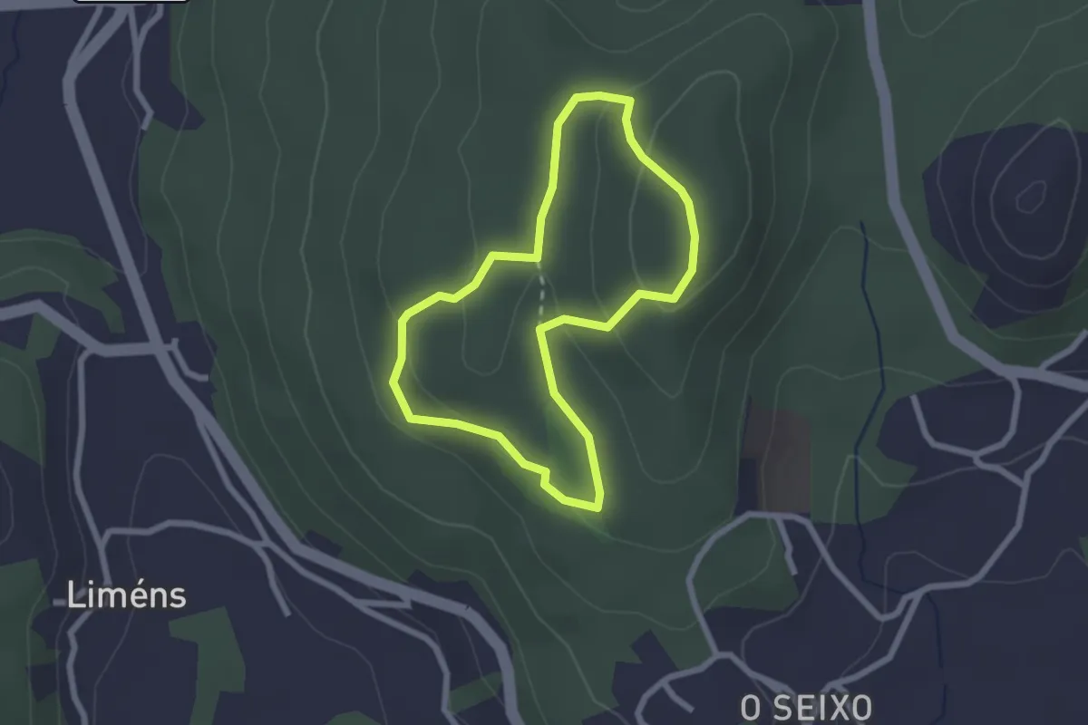
Easy · Summit
Sendeiro de Varalonga
2.2 km · ↑ 77 m · 43 min
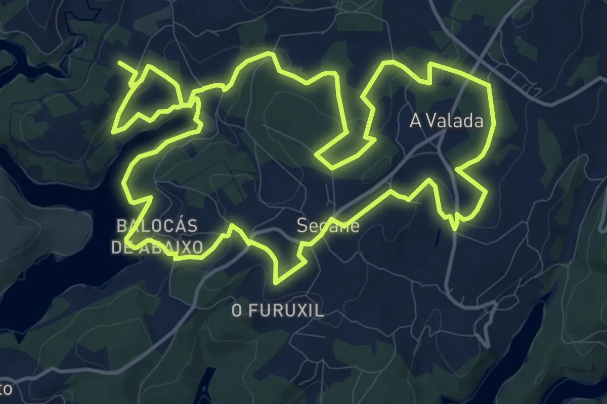
Medium · Trail
sendeiro de Visantoña
14.7 km · ↑ 384 m · 4 h 29 min
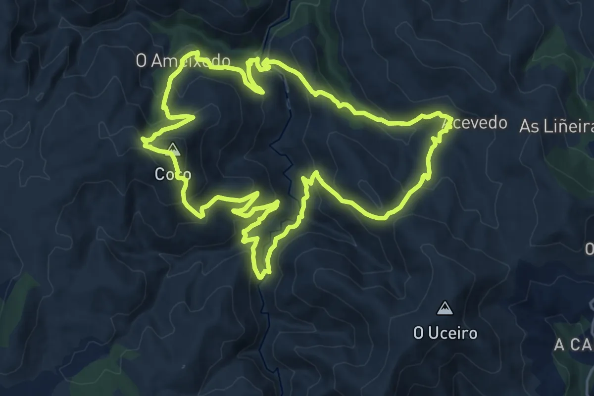
Demanding · Summit
Sendeiro de Zobra
18.0 km · ↑ 984 m · 6 h 38 min
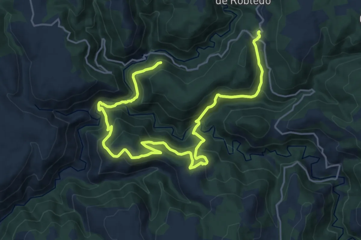
Demanding · Trail
Sendeiro do Gallol
21.1 km · ↑ 1289 m · 7 h 47 min
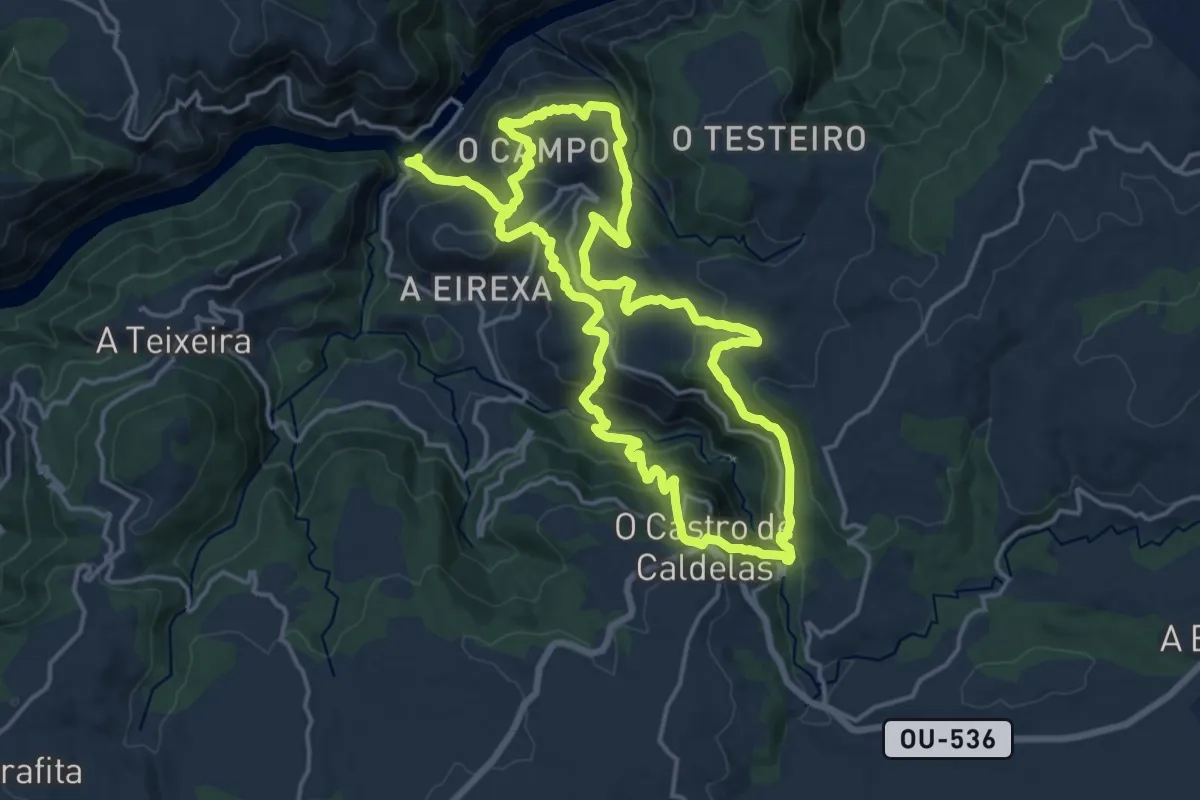
Demanding · Trail
Sendeiro do Miradoiro de Matacás
17.8 km · ↑ 956 m · 6 h 31 min
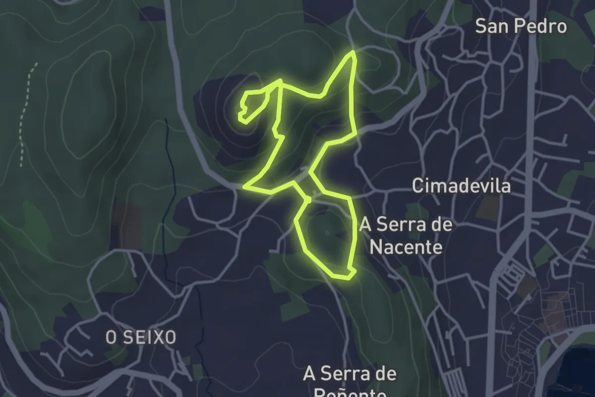
Easy · Summit
Sendeiro do Monte do Castelo
3.2 km · ↑ 127 m · 1 h 4 min
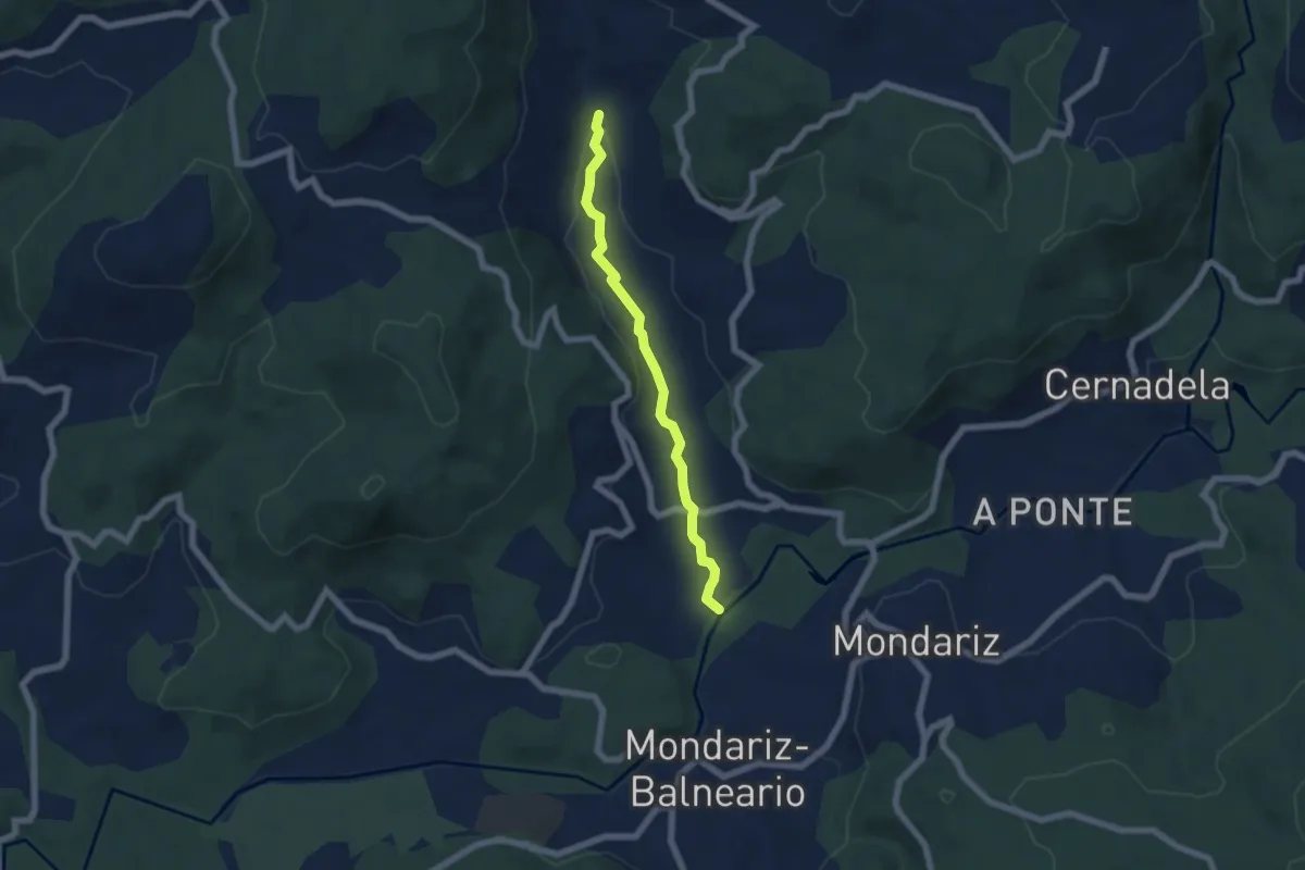
Easy · Trail
Sendeiro do río Aboal
5.9 km · ↑ 55 m · 1 h 31 min
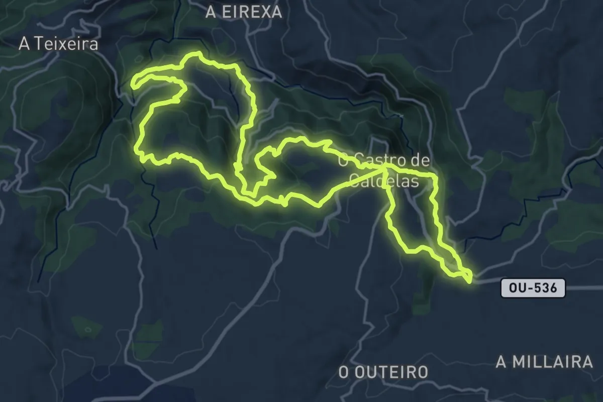
Demanding · Trail
Sendeiro dos Bosques Máxicos do Castro de Caldelas
20.1 km · ↑ 830 m · 6 h 49 min
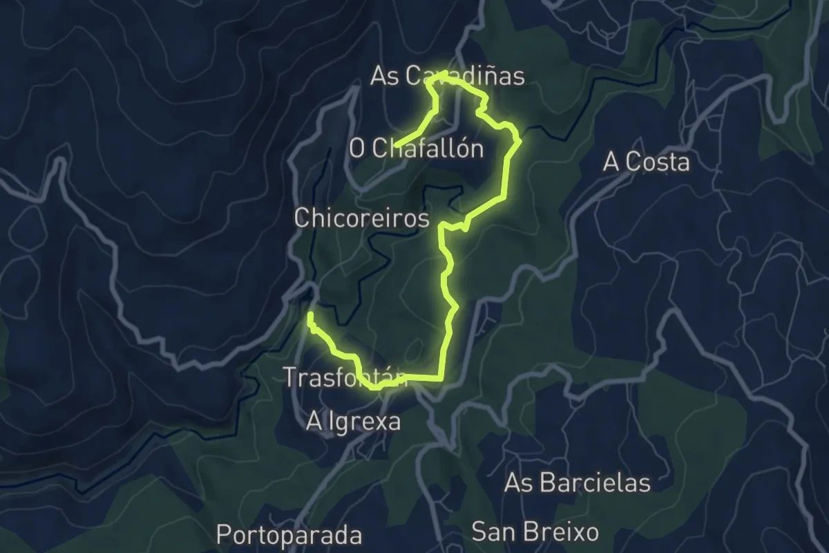
Medium · Trail
Sendeiro dos Carranos
8.8 km · ↑ 336 m · 2 h 48 min
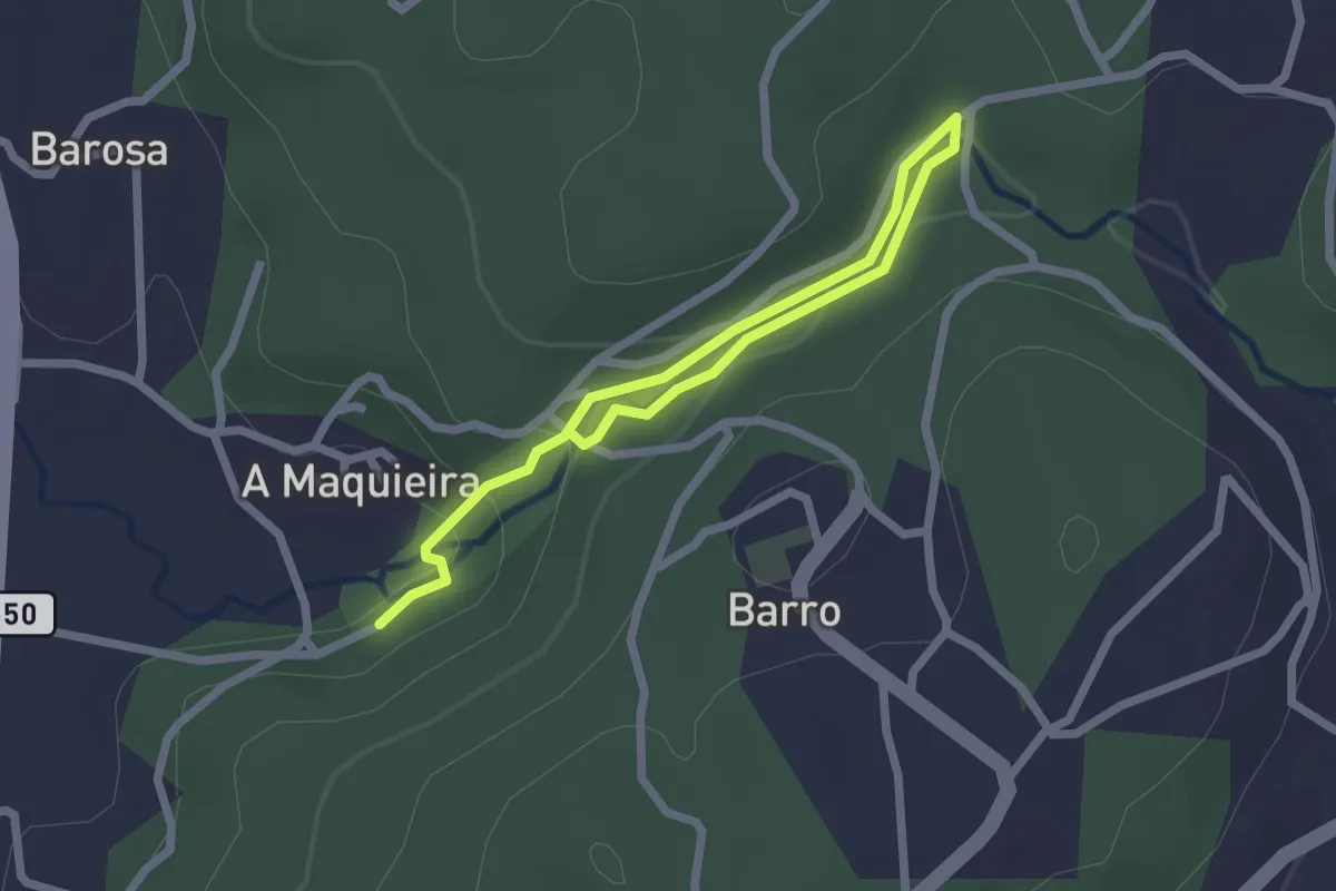
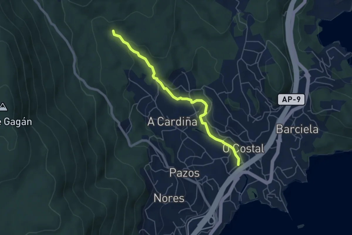
Easy · Trail
Sendeiro dos Muíños de Barosa
3.3 km · ↑ 85 m · 58 min
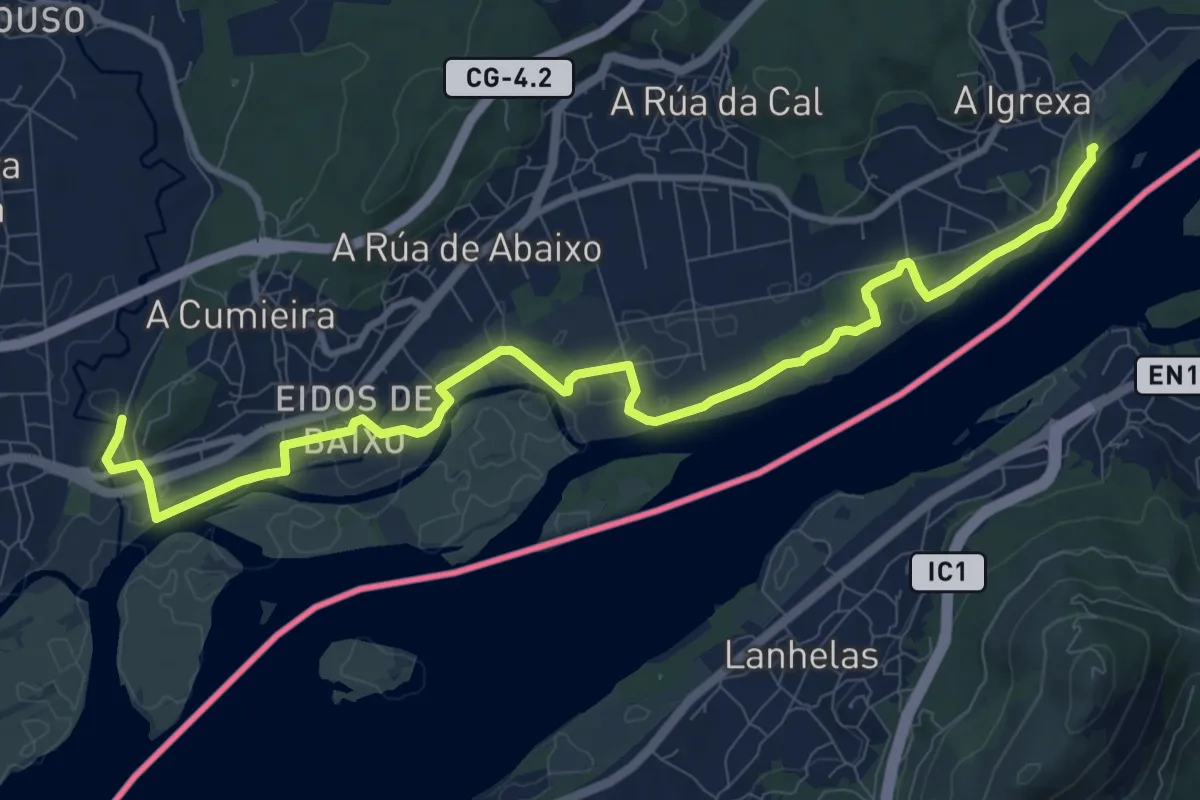
Easy · Trail
Sendeiro dos Muíños de Riomaior
5.0 km · ↑ 161 m · 1 h 32 min
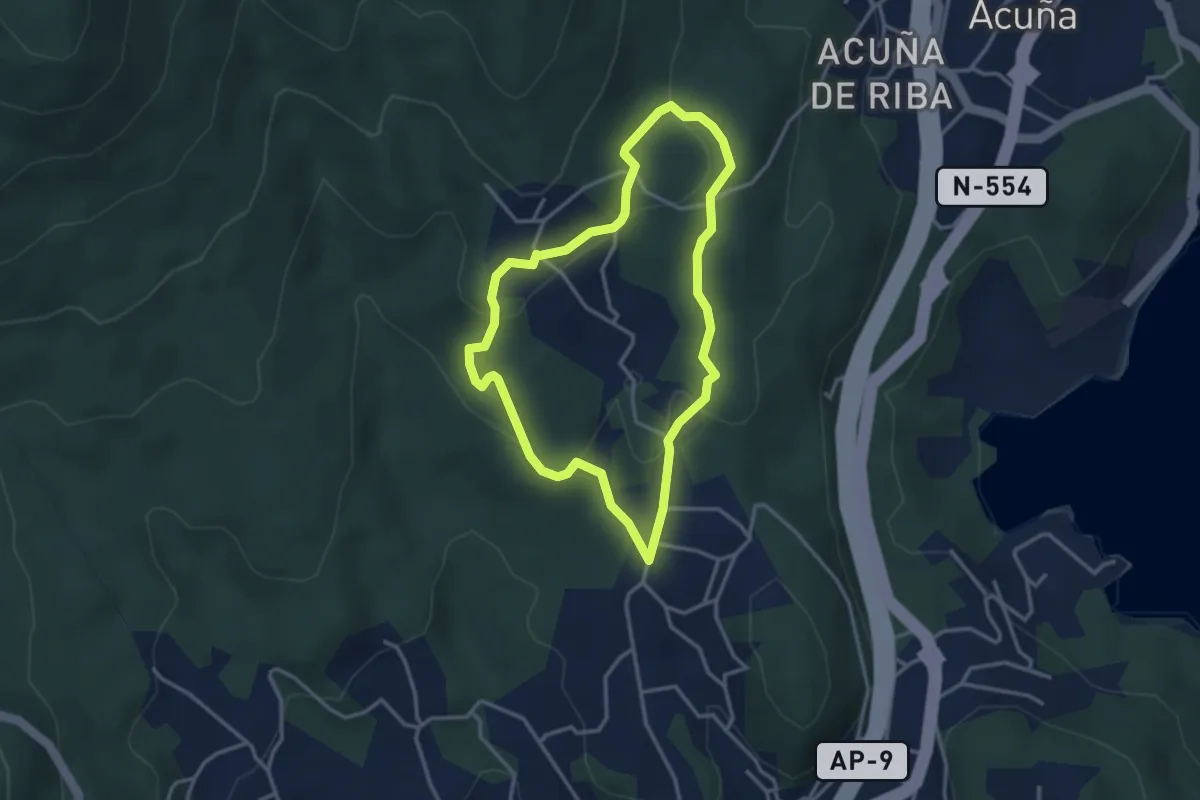
Medium · Trail
Sendeiro dos Pescadores
12.5 km · ↑ 4 m · 2 h 58 min
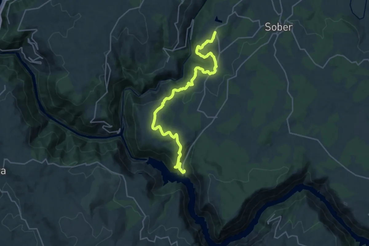
Easy · Trail
Sendeiro dos Petroglifos dos Cobres
3.3 km · ↑ 101 m · 1 h 3 min
Demanding · Trail
Sendeiro dos Viñedos da Ribeira Sacra
22.0 km · ↑ 732 m · 6 h 47 min
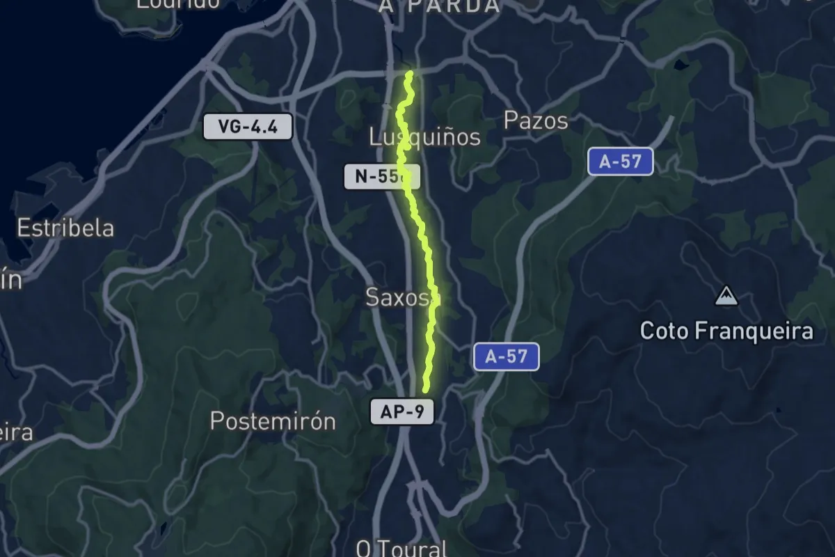
Medium · Trail
Sendeiro fluvial do Río Dos Gafos
11.4 km · ↑ 48 m · 2 h 47 min
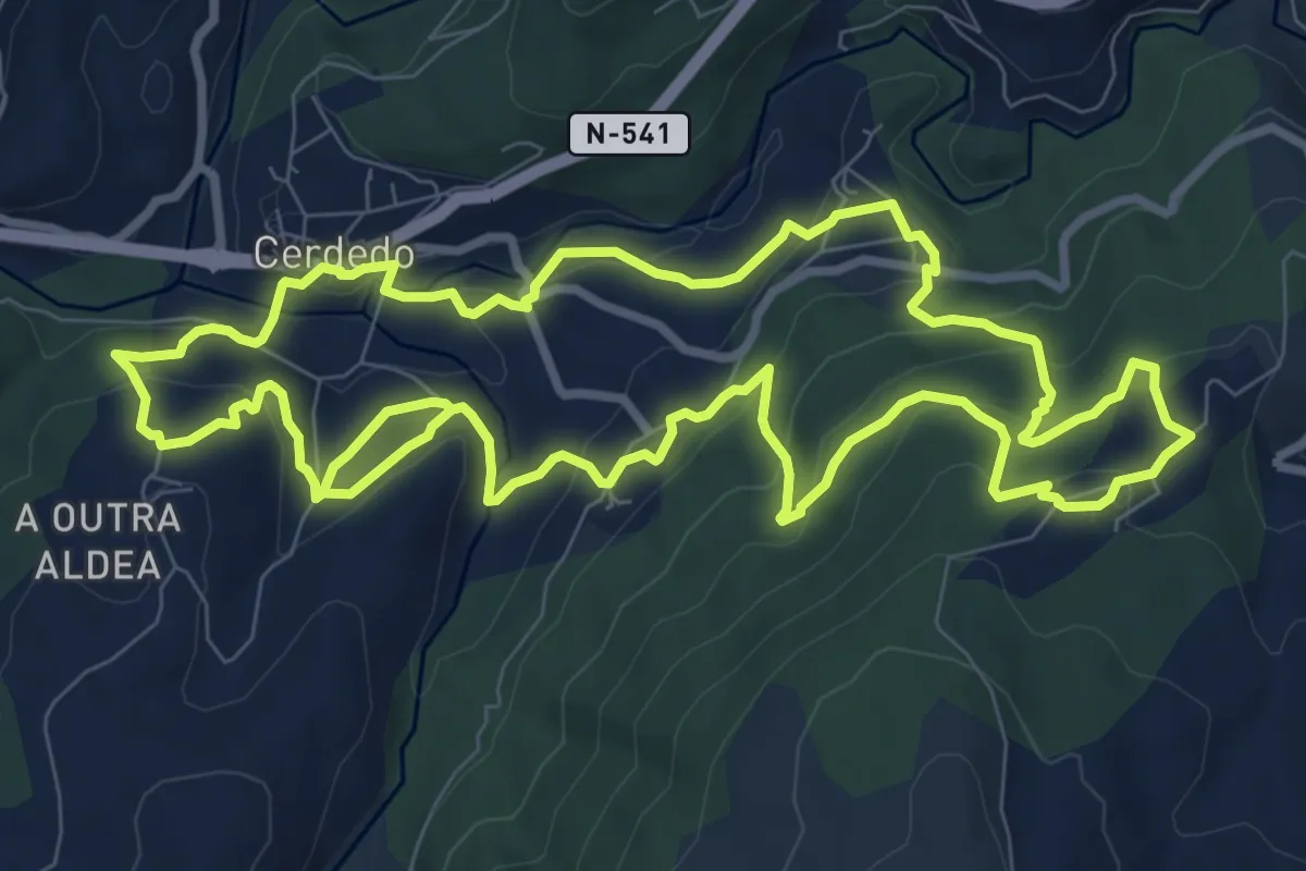
Demanding · Trail
Sendeiro Frei Martín Sarmiento
21.0 km · ↑ 988 m · 7 h 6 min
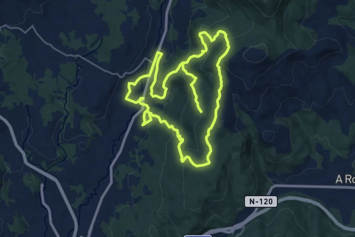
Medium · Trail
Sendeiro histórico de Mos
14.1 km · ↑ 418 m · 4 h 29 min
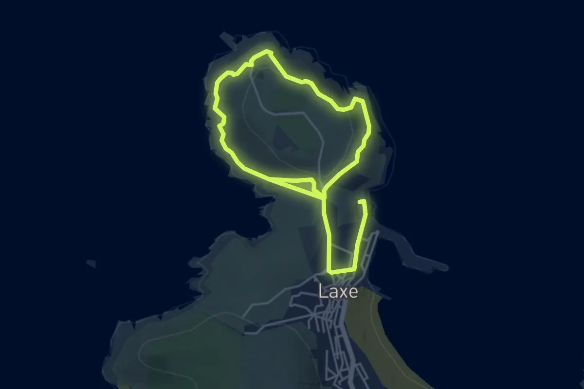
Easy · Trail
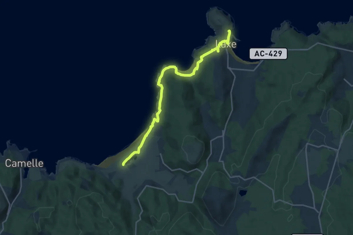
Sendeiro Laxe-Punta Insua
3.6 km · ↑ 111 m · 1 h 9 min
Medium · Trail
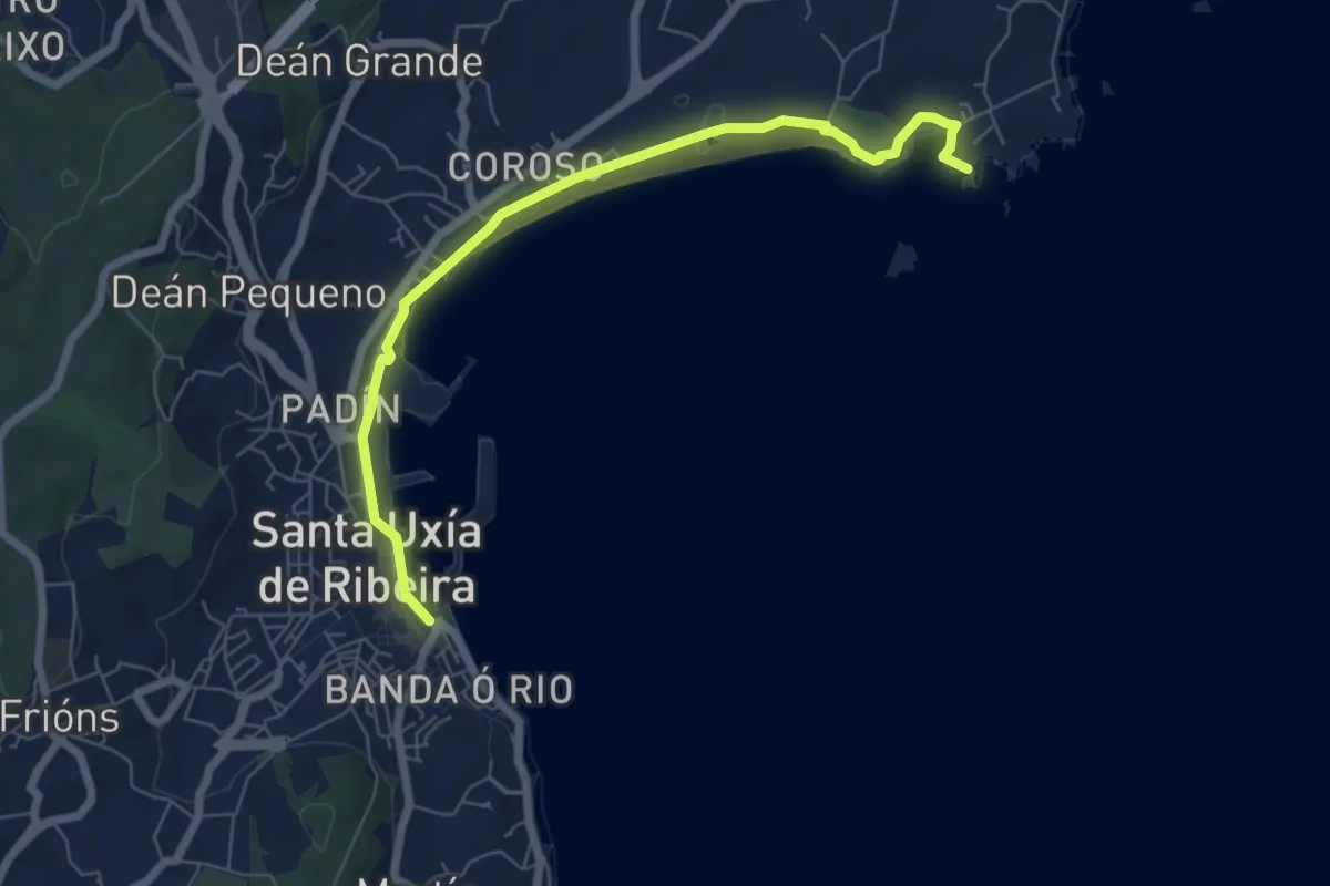
Sendeiro Laxe-Traba
16.3 km · ↑ 237 m · 4 h 22 min
Easy · Trail
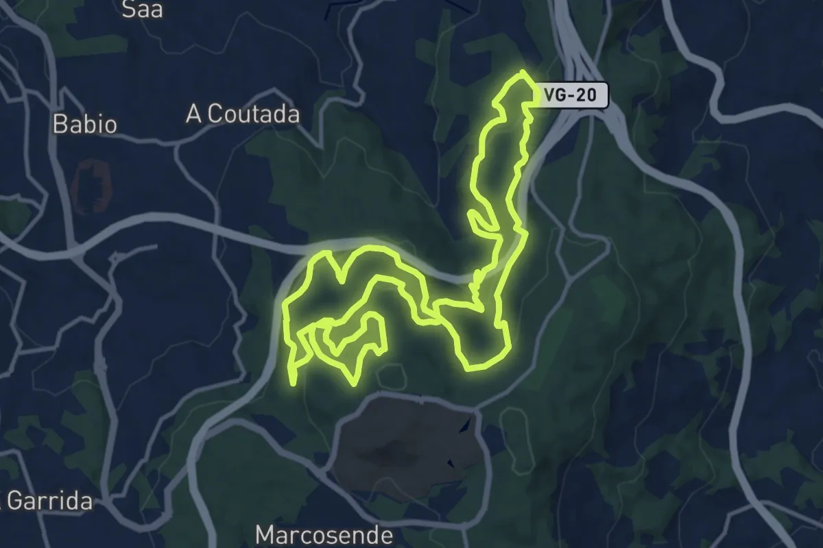
Sendeiro Litoral de Coroso - Río Azor
7.3 km · ↑ 24 m · 1 h 47 min
Medium · Trail
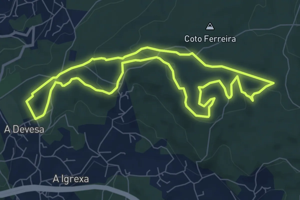
Sendeiro Local de Bembrive-Beade
14.4 km · ↑ 576 m · 4 h 51 min
Easy · Trail
Sendeiro Local de Candeán
7.2 km · ↑ 176 m · 2 h 11 min
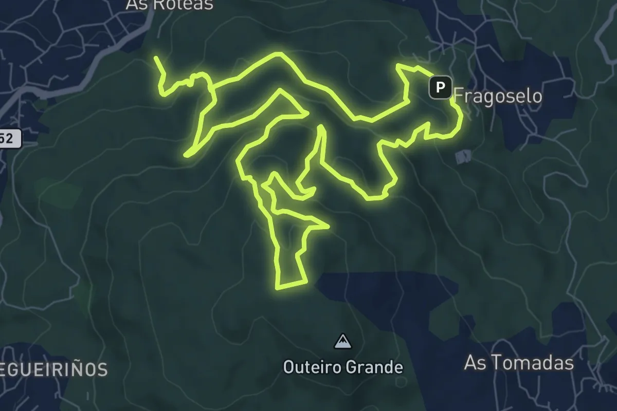
Medium · Summit
Sendeiro Local de Coruxo
10.1 km · ↑ 483 m · 3 h 35 min
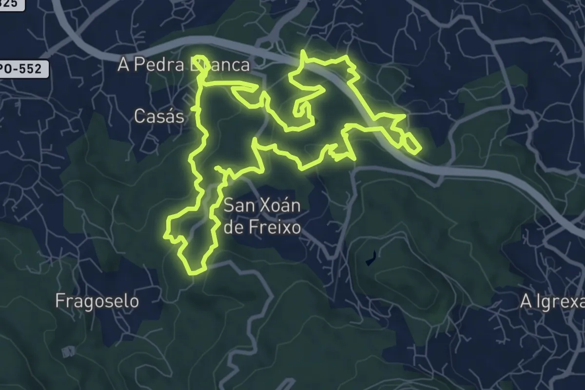
Medium · Summit
Sendeiro Local de Matamá-Comesaña
10.5 km · ↑ 403 m · 3 h 29 min
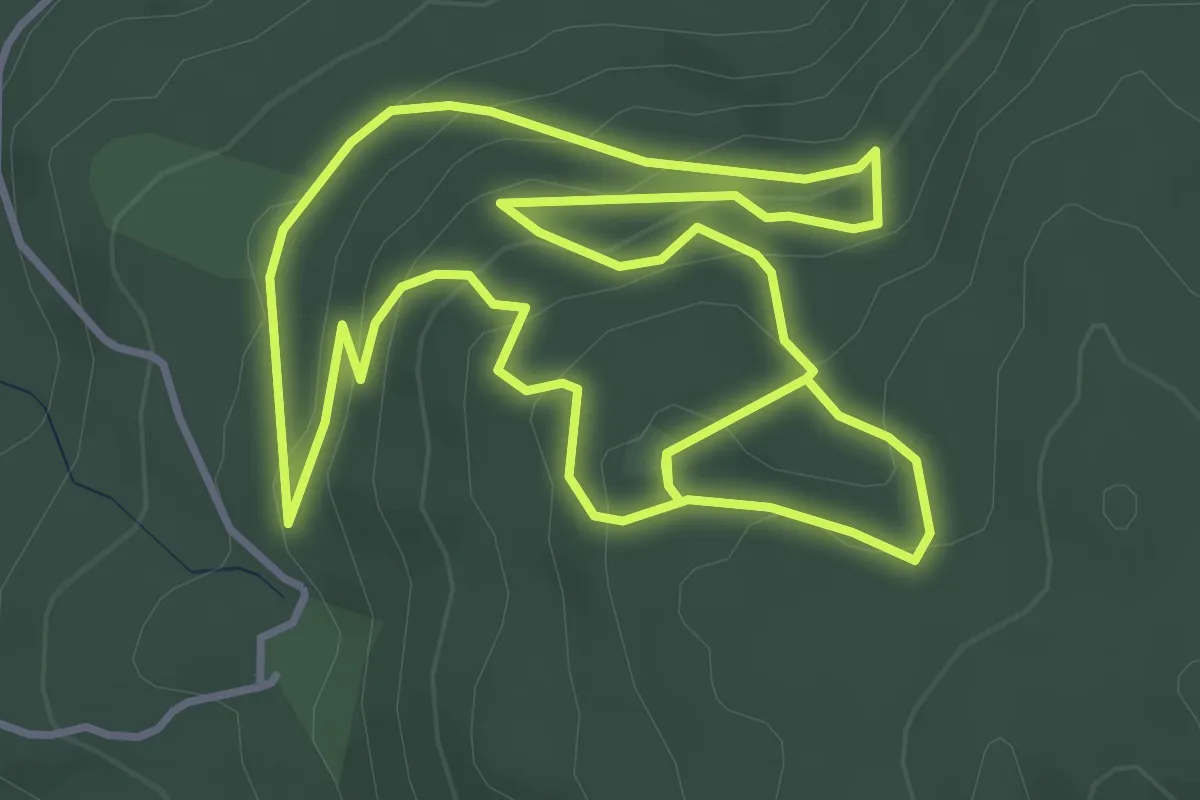
Easy · Summit
Sendeiro Local de Oia
4.5 km · ↑ 235 m · 1 h 38 min
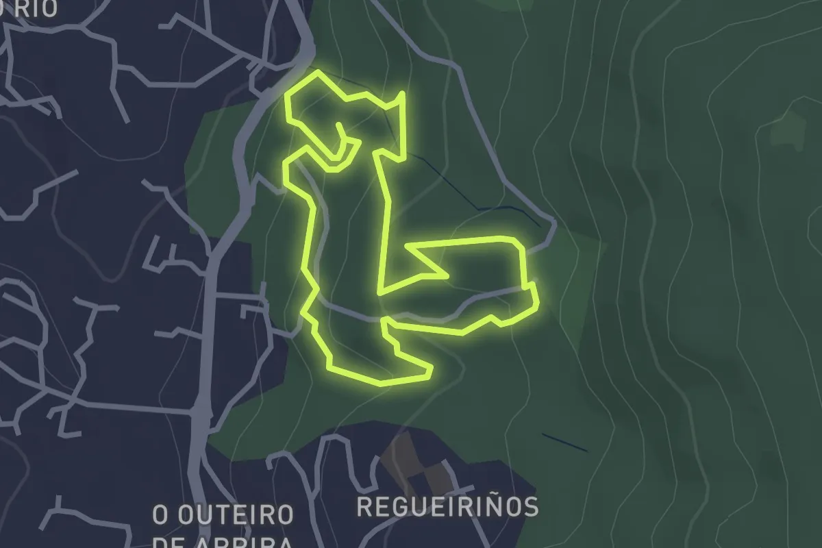
Easy · Trail
Sendeiro Local de Saiáns
2.9 km · ↑ 155 m · 1 h 4 min
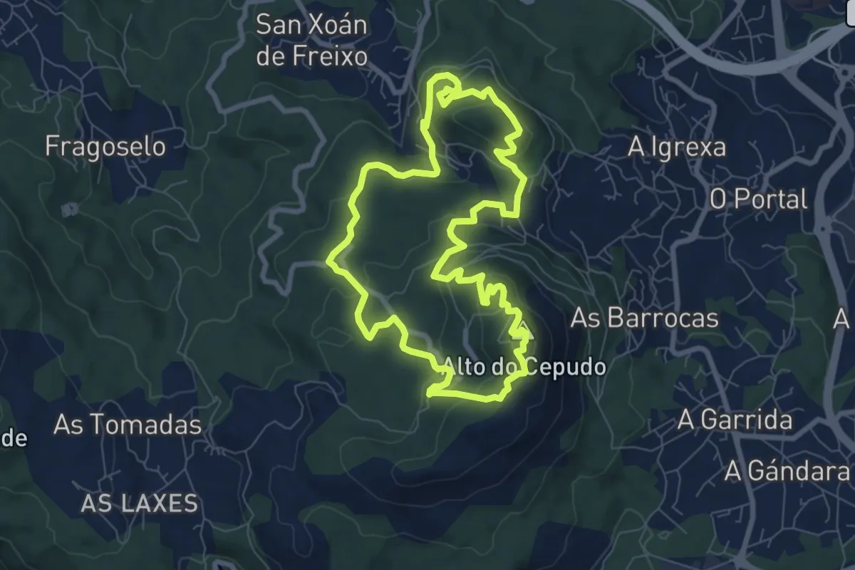
Easy · Summit
Sendeiro Local de Valadares
7.9 km · ↑ 297 m · 2 h 37 min
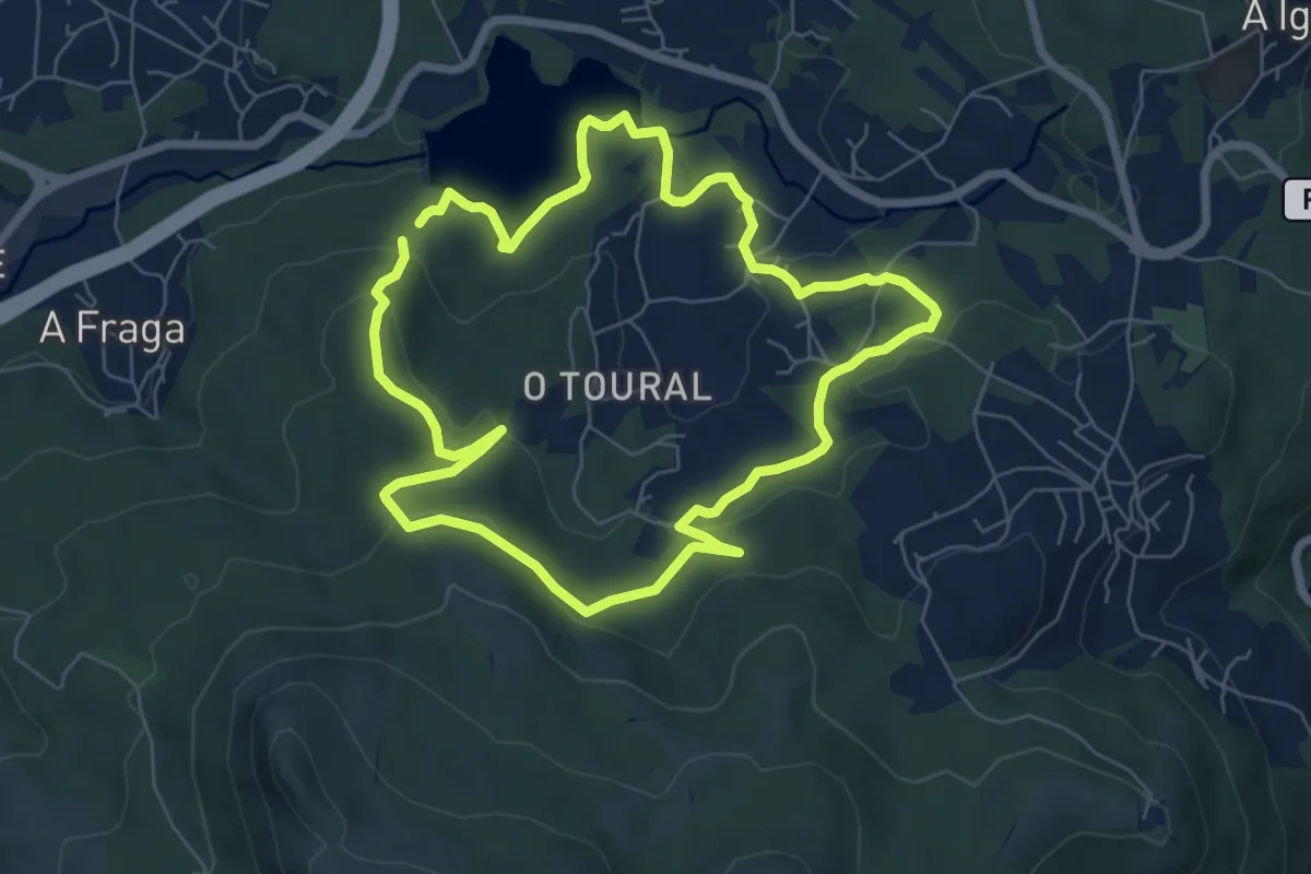
Easy · Trail
Sendeiro Local de Zamáns
7.1 km · ↑ 212 m · 2 h 14 min
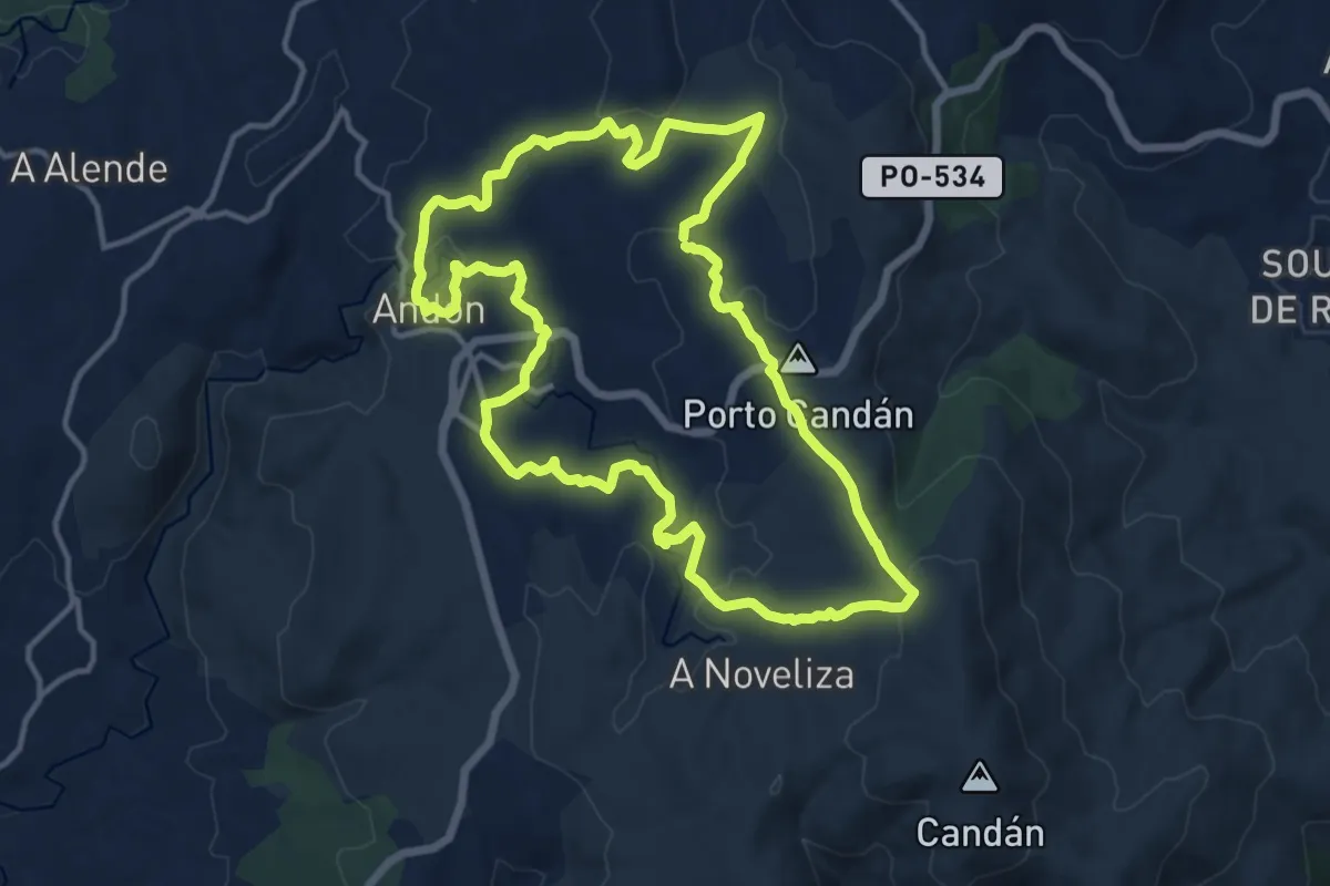
Medium · Trail
Sendeiro Natural Aciveiro-Candán
14.3 km · ↑ 307 m · 4 h 15 min
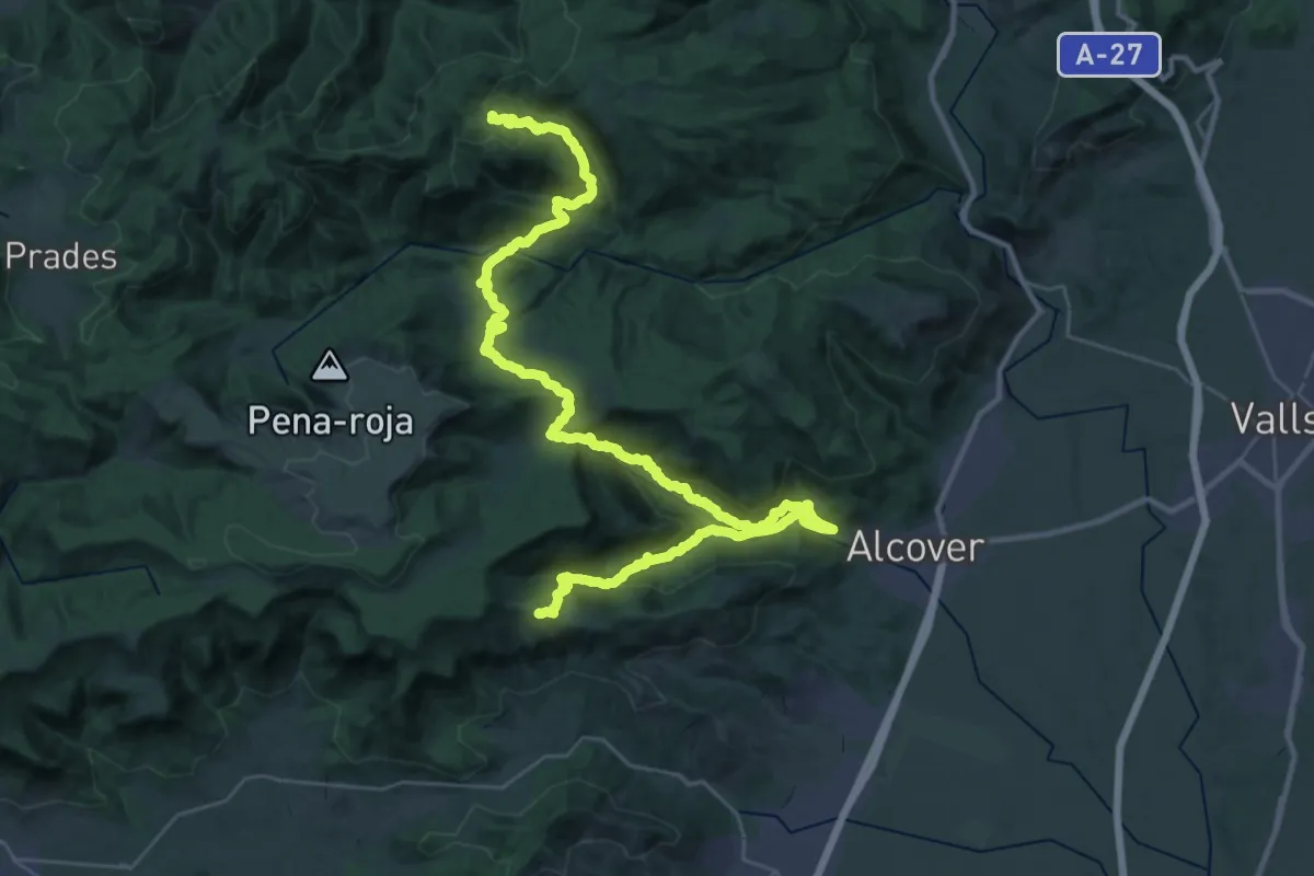
Demanding · Cabin
Sender Albiol - Cogullons
24.6 km · ↑ 1286 m · 8 h 51 min
Easy · Trail
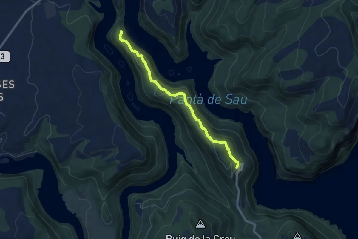
Sender al Monastir
5.9 km · ↑ 305 m · 2 h 3 min
Demanding · Trail
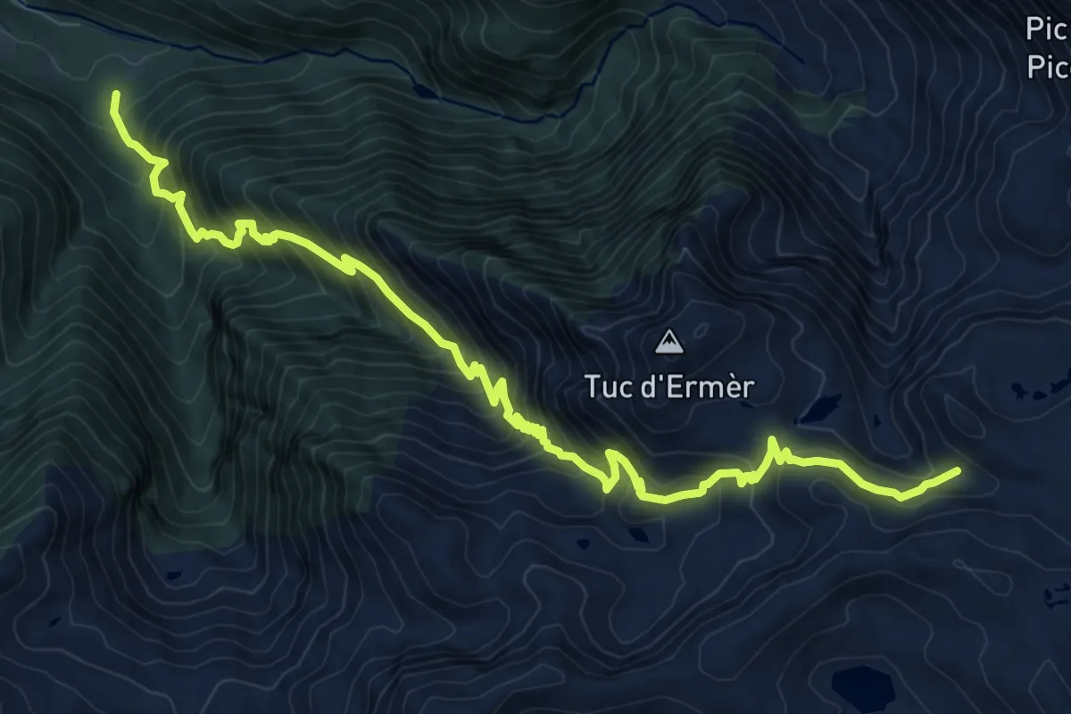
Sender circular de la Val d'Aran. Variant Cap de les Comes de Liat - Eth Sarrat de Pièrres
12.7 km · ↑ 1437 m · 6 h 7 min
Demanding · Trail
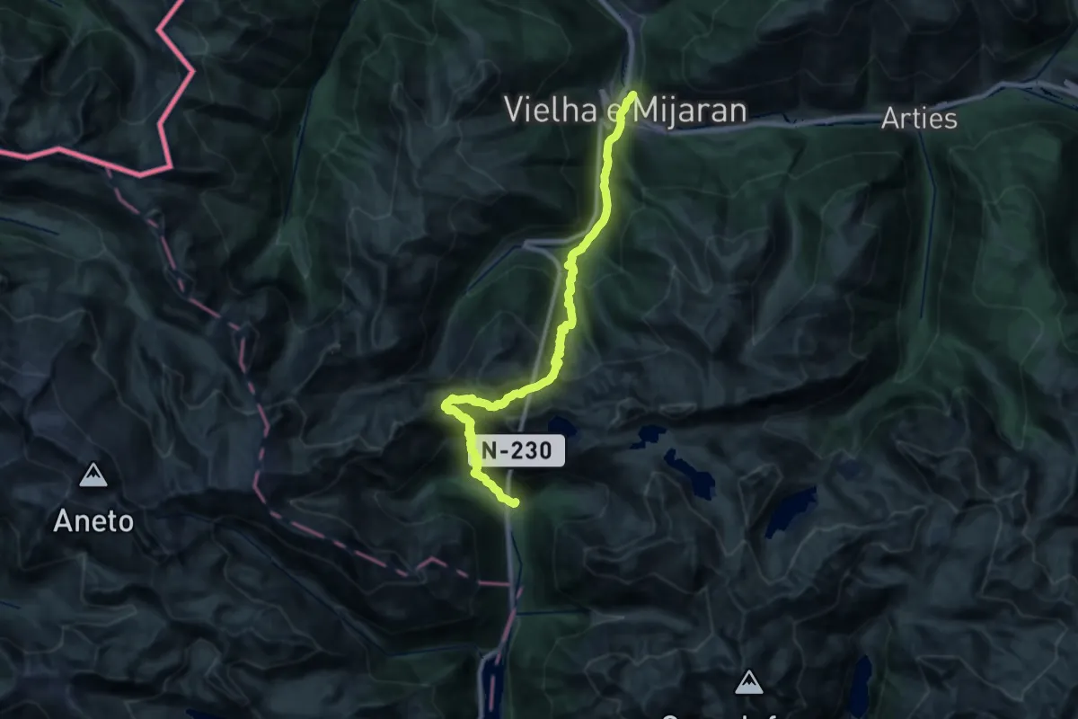
Sender circular de la Val d'Aran. Variant Espitau de Vielha - Vielha
14.4 km · ↑ 1557 m · 6 h 37 min
Demanding · Trail
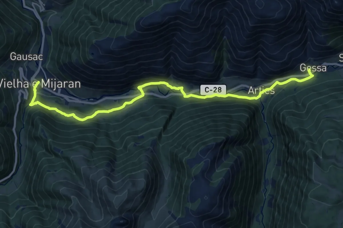
Sender circular de la Val d'Aran. Variant Gessa - Vielha
20.7 km · ↑ 705 m · 6 h 25 min
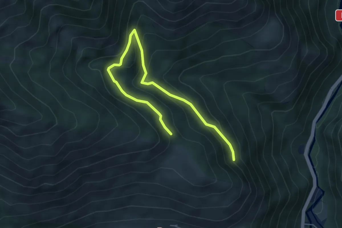
Medium · Trail
Sender circular de la Val d'Aran. Variant Les - Pont dera Lana
6.1 km · ↑ 398 m · 2 h 19 min
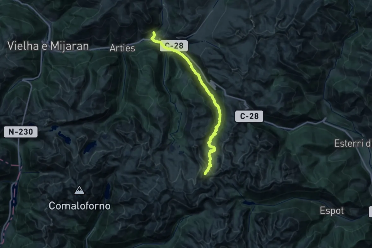
Demanding · Trail
Sender circular de la Val d'Aran. Variant Pòrt de Ratèra de Colomèrs - Unha
17.1 km · ↑ 1369 m · 6 h 36 min
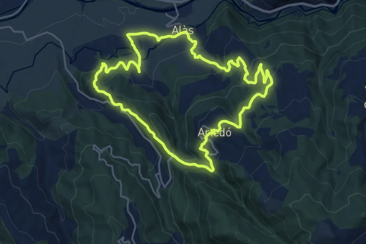
Medium · Trail
Sender d'Alàs
13.2 km · ↑ 553 m · 4 h 31 min
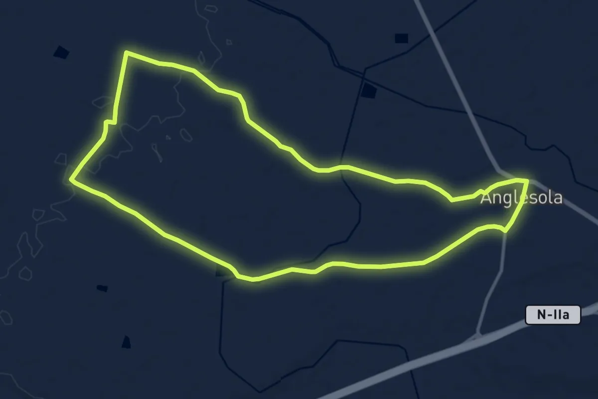
Medium · Trail
Sender d'Anglesola
11.3 km · ↑ 46 m · 2 h 55 min