Trails in Spain
5,960 hiking trails, each with its route, climb, walking time and grade.
All trails, page 99 of 125
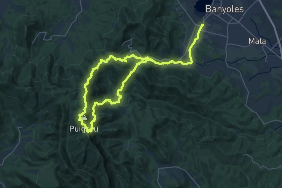
Demanding · Summit
Sender de Rocacorba
18.7 km · ↑ 1026 m · 6 h 58 min
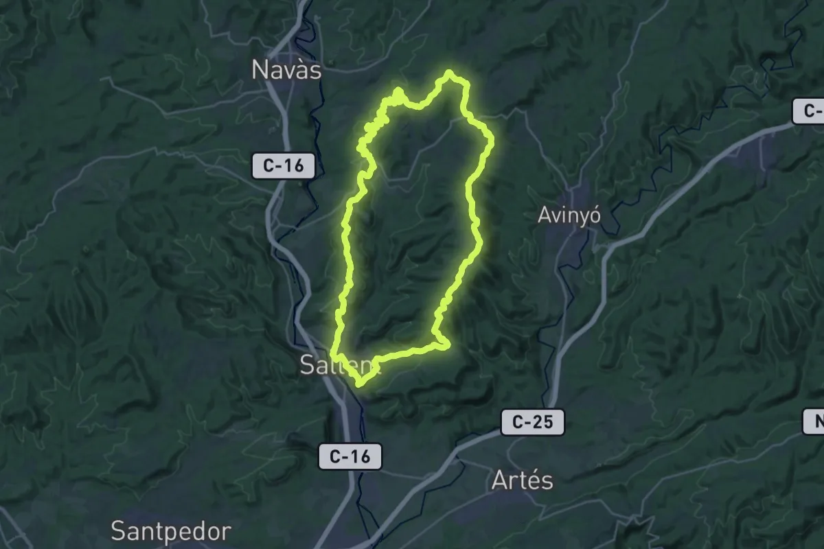
Demanding · Summit
Sender de Sallent
27.9 km · ↑ 726 m · 8 h 32 min
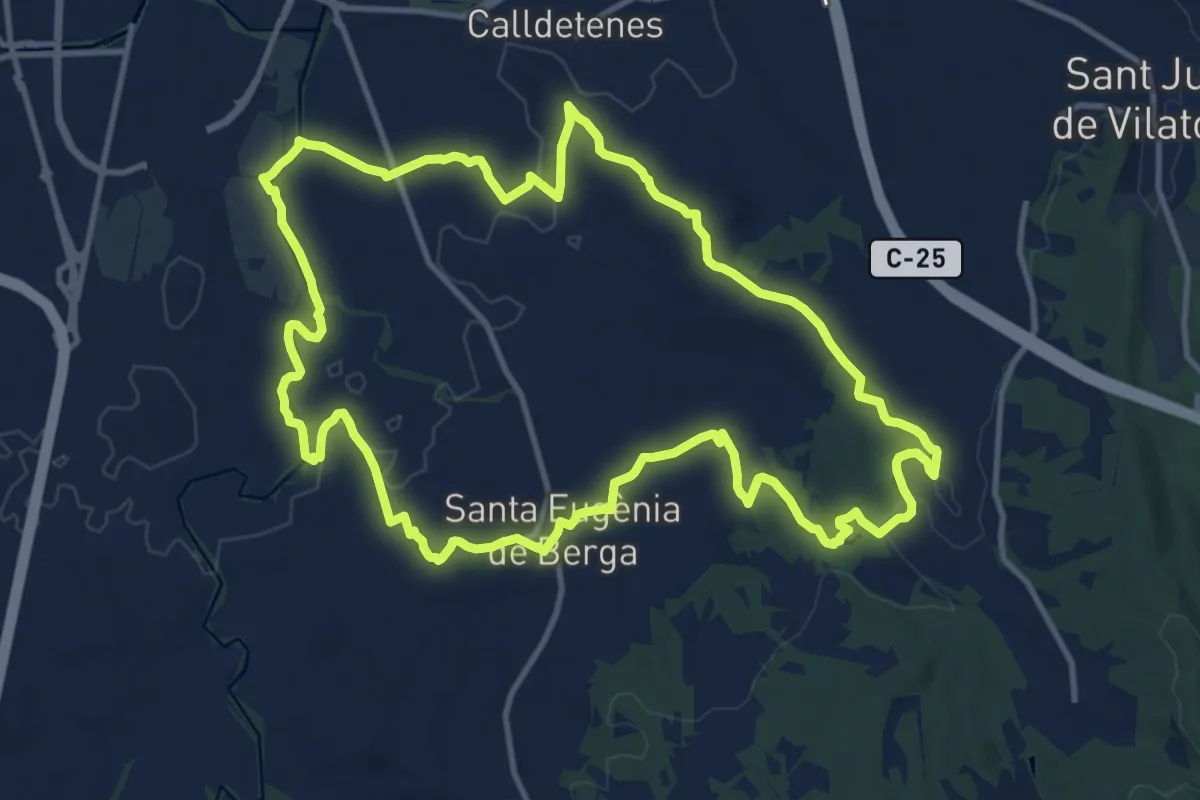
Medium · Trail
Sender de Santa Eugènia de Berga
14.2 km · ↑ 161 m · 3 h 54 min
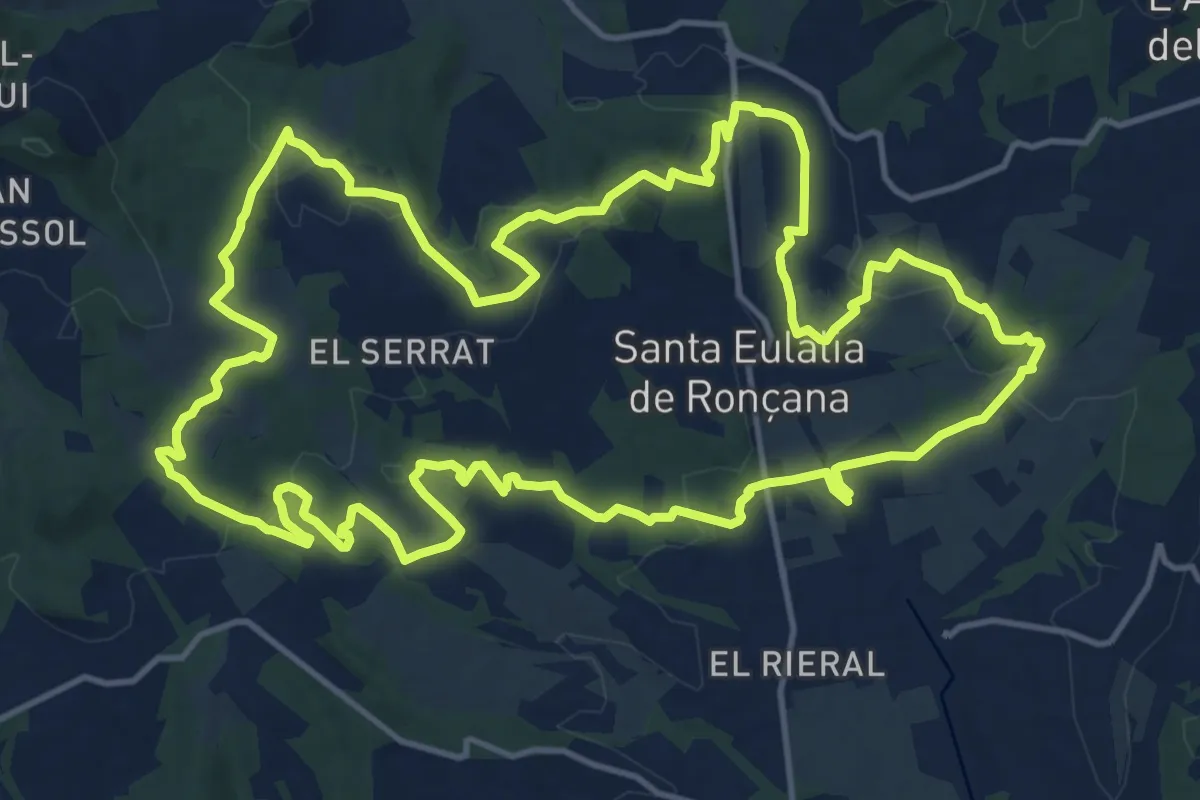
Demanding · Trail
Sender de Santa Eulàlia de Ronçana
18.2 km · ↑ 387 m · 5 h 23 min
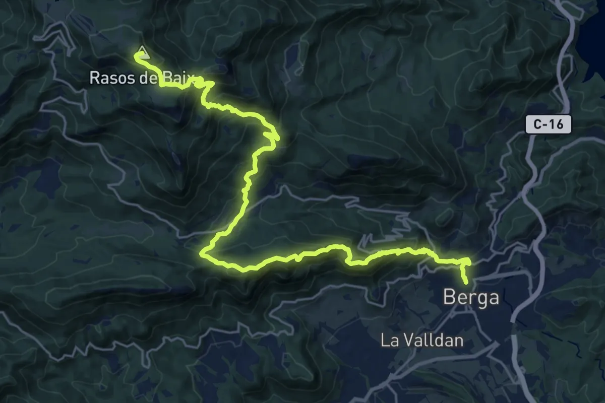
Demanding · Summit
Sender de Sant Corneli
25.6 km · ↑ 1928 m · 10 h 14 min
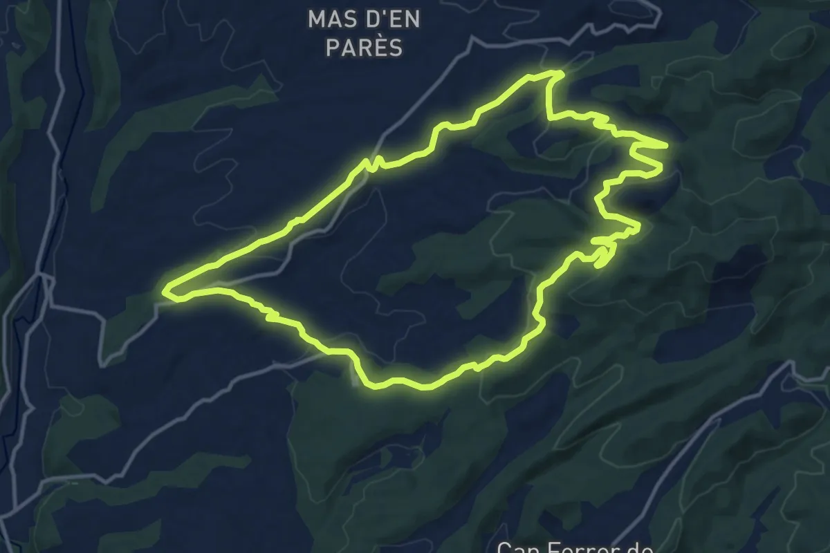
Medium · Trail
Sender de Santes Creus
15.0 km · ↑ 389 m · 4 h 35 min
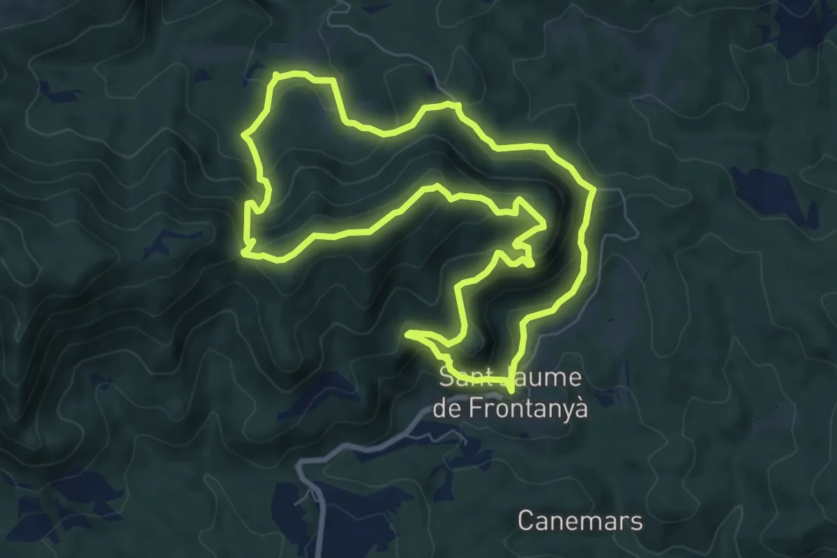
Medium · Summit
Sender de Sant Jaume de Frontanyà
8.3 km · ↑ 455 m · 3 h 4 min
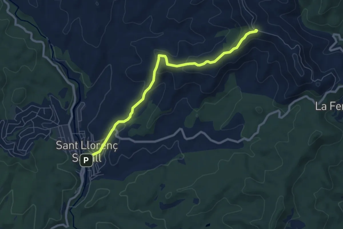
Easy · Trail
Sender de Sant Llorenç Savall
7.3 km · ↑ 274 m · 2 h 19 min
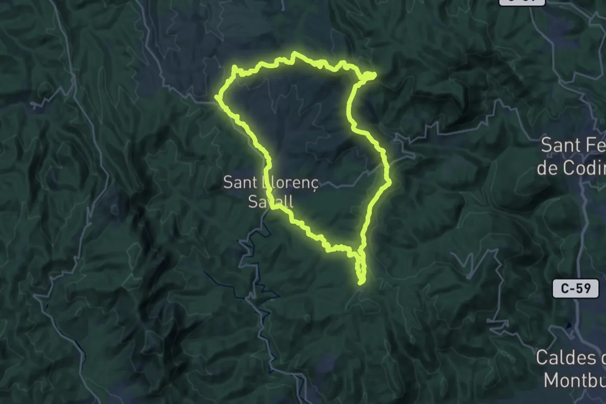
Demanding · Summit
Sender de Sant Llorenç Savall
23.4 km · ↑ 614 m · 7 h 11 min
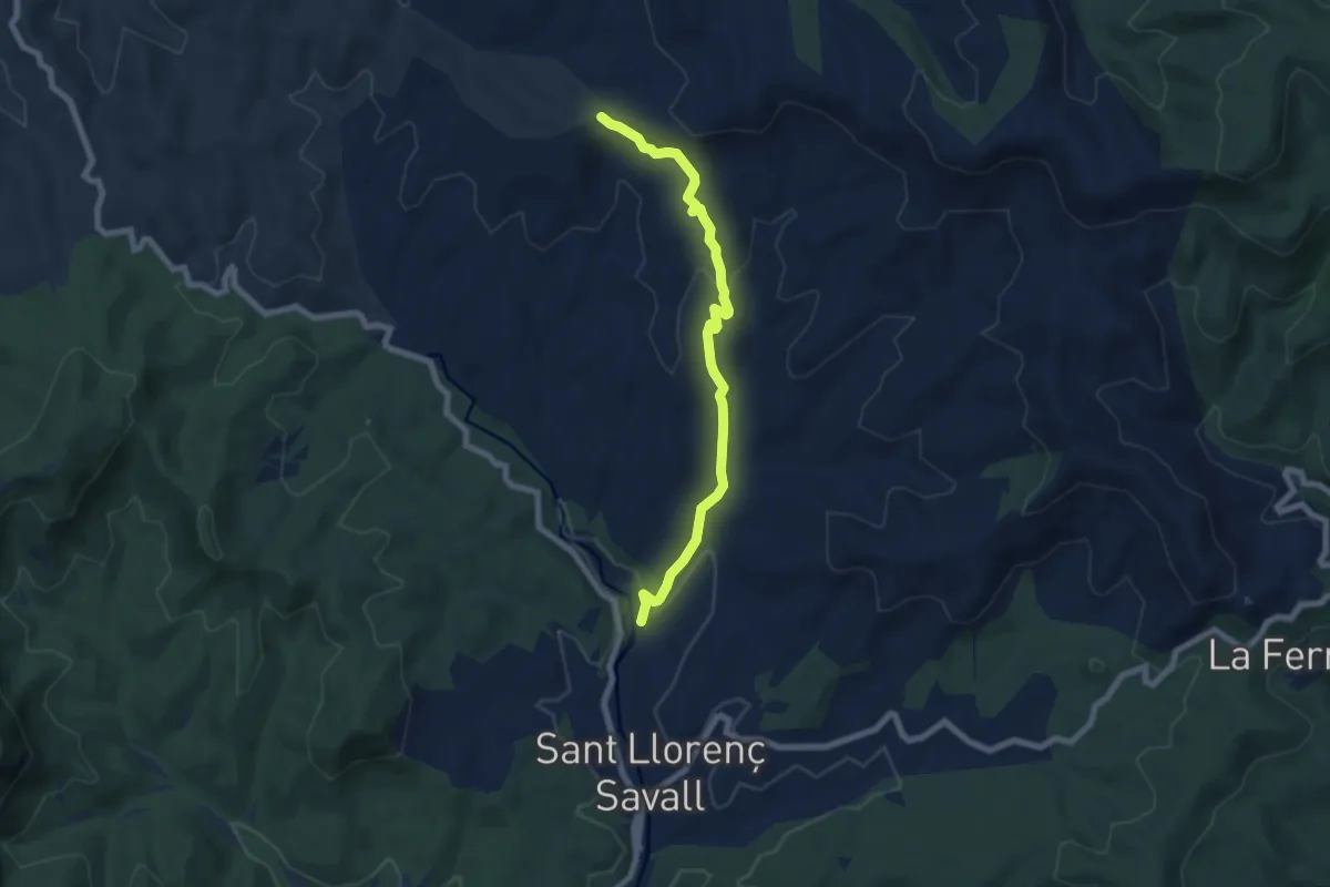
Easy · Trail
Sender de Sant Llorenç Savall
7.4 km · ↑ 202 m · 2 h 11 min
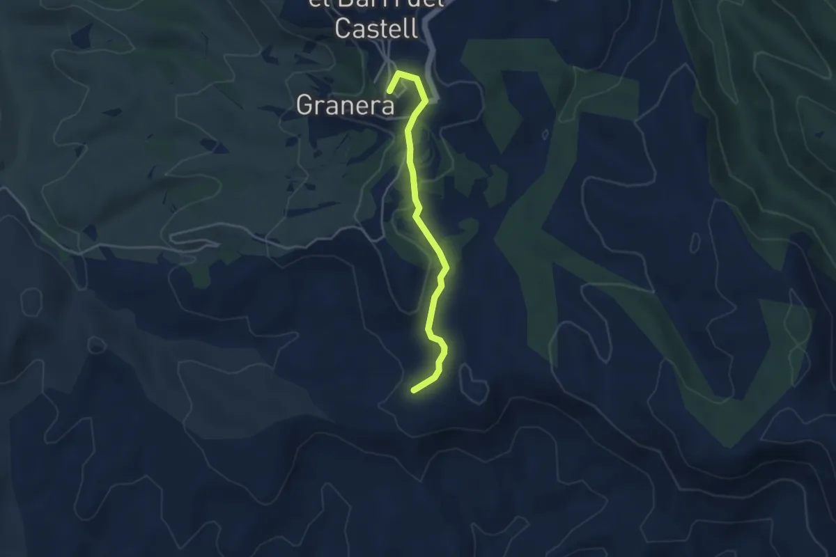
Easy · Summit
Sender de Sant Llorenç Savall
3.8 km · ↑ 79 m · 1 h 4 min
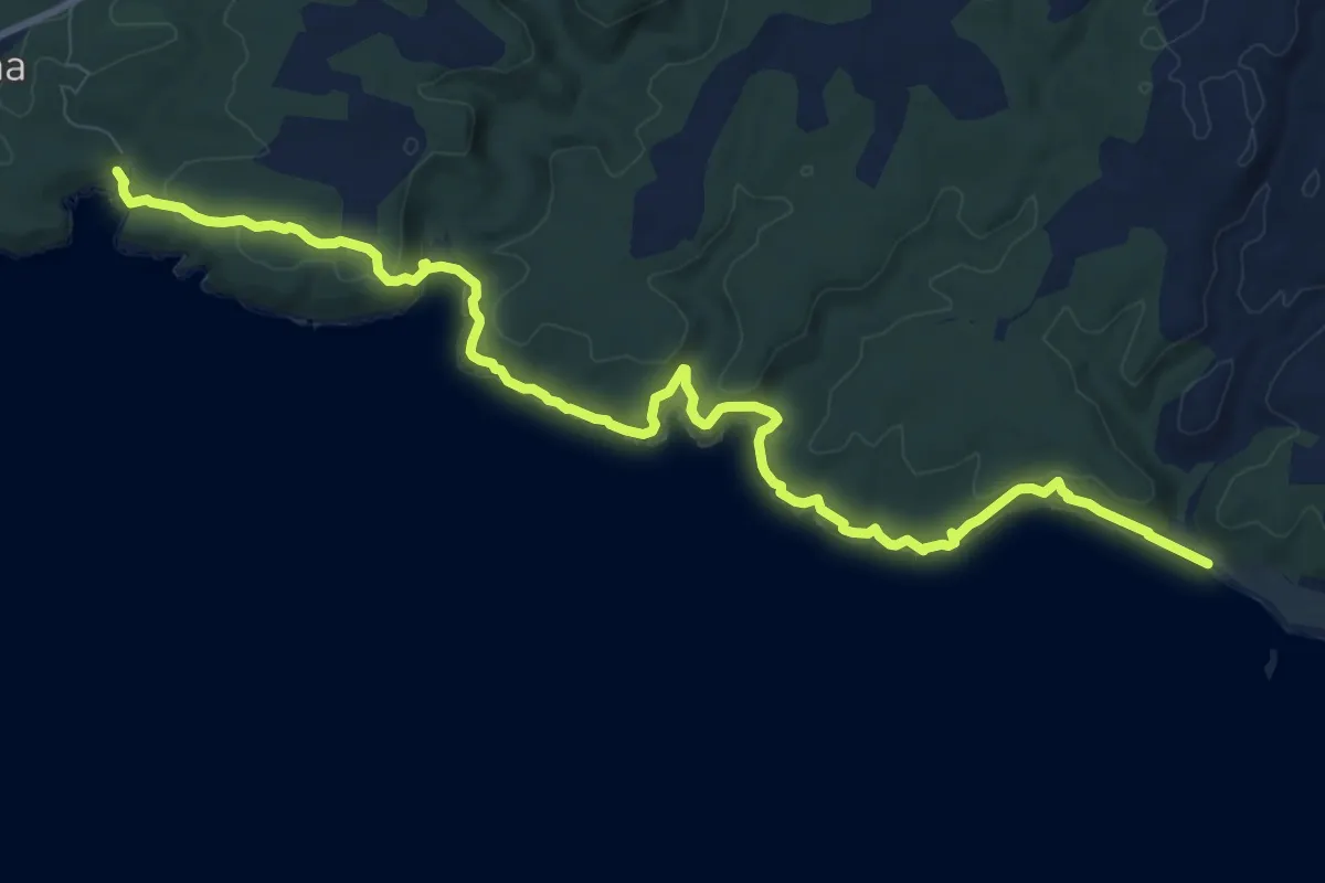
Medium · Trail
Sender des Litoral
13.2 km · ↑ 301 m · 3 h 47 min
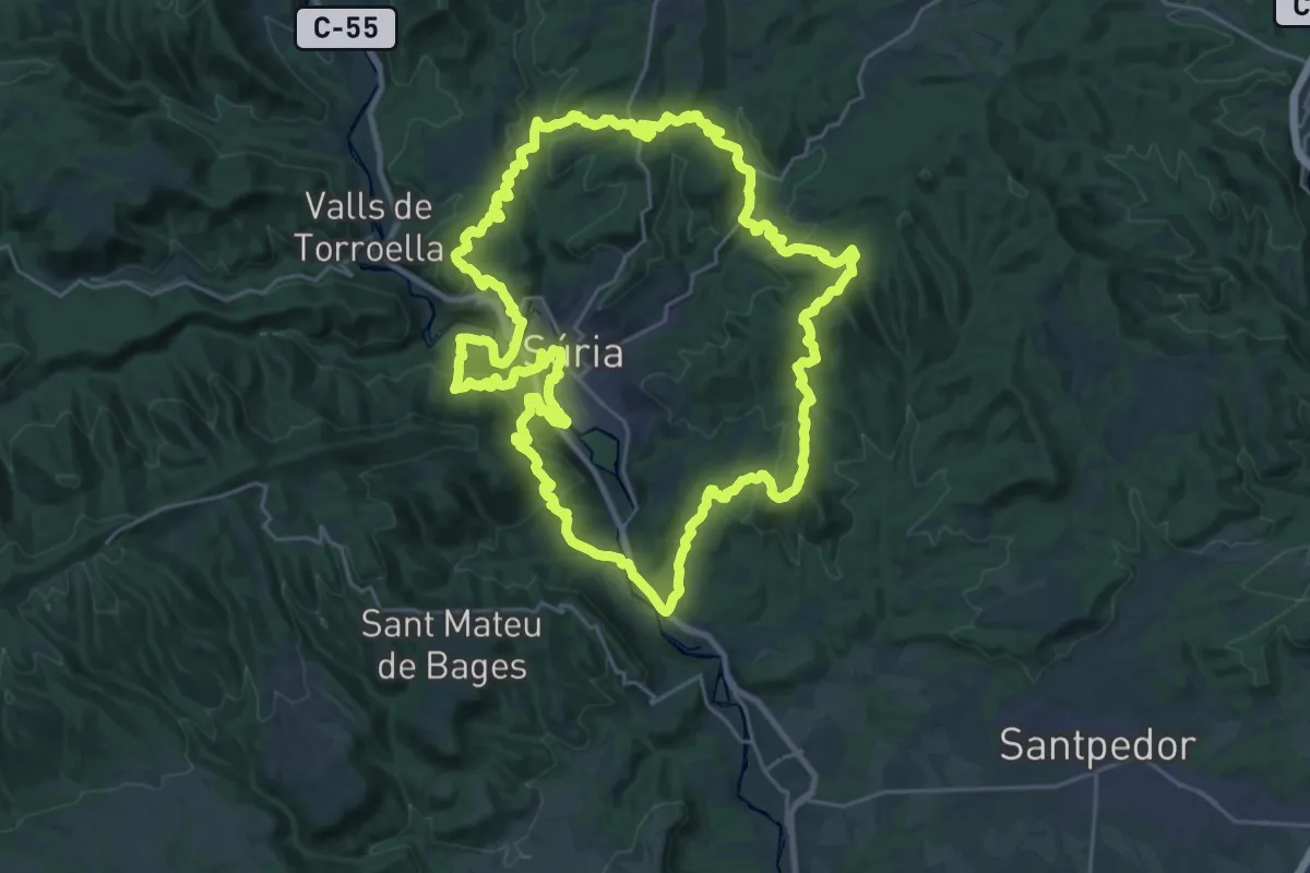
Demanding · Summit
Sender de Súria
31.0 km · ↑ 1103 m · 10 h 8 min
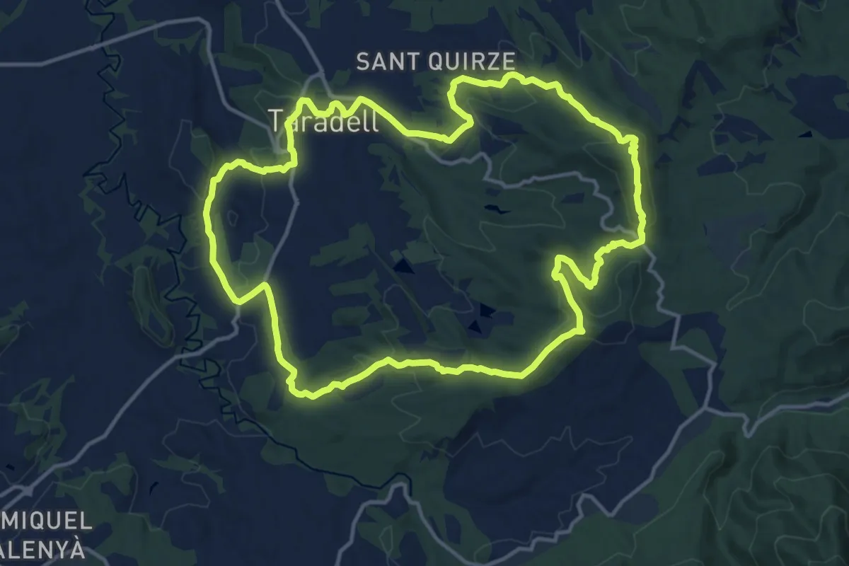
Medium · Summit
Sender de Taradell
14.8 km · ↑ 397 m · 4 h 34 min
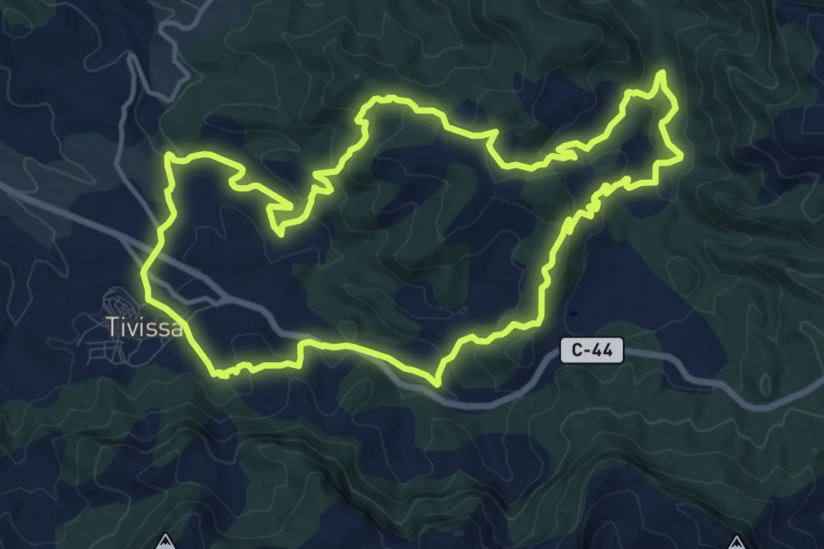
Medium · Trail
Sender de Tivissa
13.0 km · ↑ 429 m · 4 h 10 min
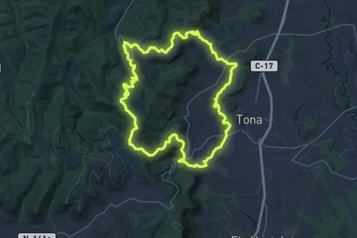
Demanding · Trail
Sender de Tona
22.0 km · ↑ 724 m · 7 h 5 min
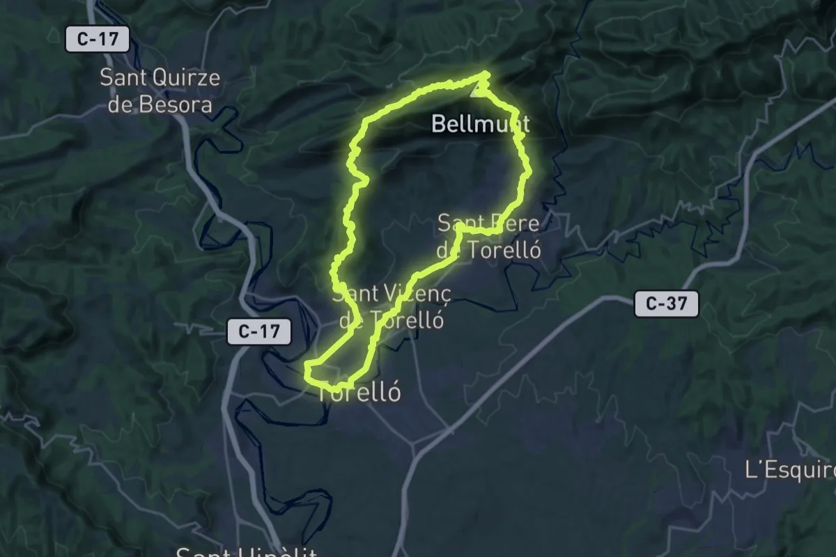
Demanding · Summit
Sender de Torelló
21.5 km · ↑ 933 m · 7 h 23 min
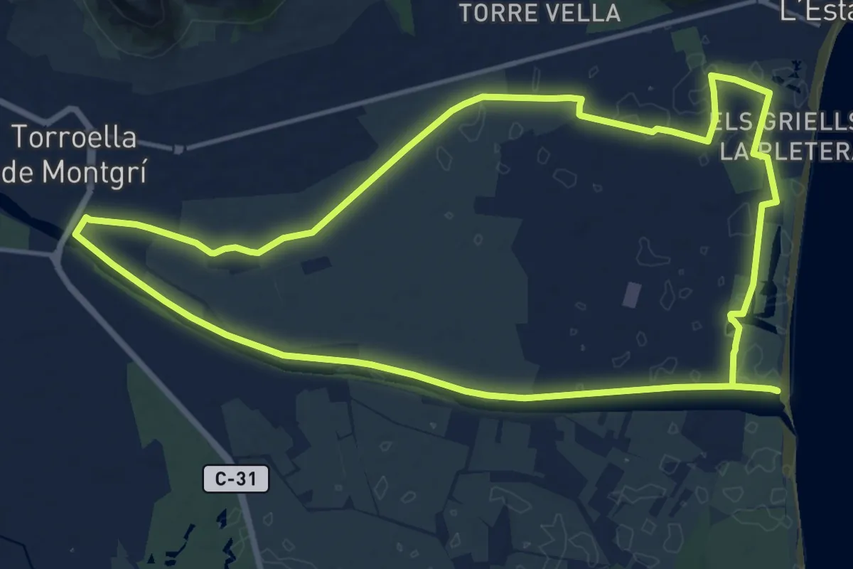
Medium · Trail
Sender de Torroella de Montgrí
15.5 km · ↑ 4 m · 3 h 54 min
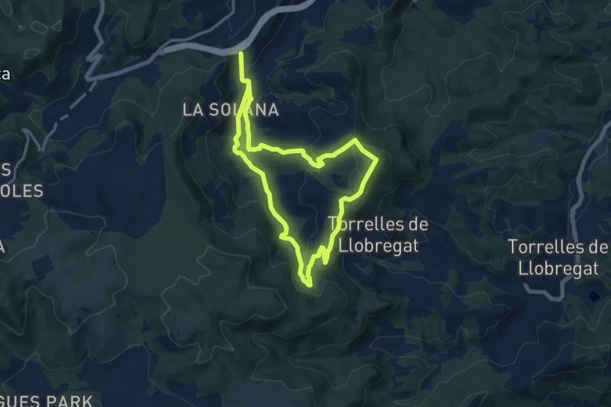
Medium · Summit
Sender de Vallirana
9.7 km · ↑ 399 m · 3 h 17 min
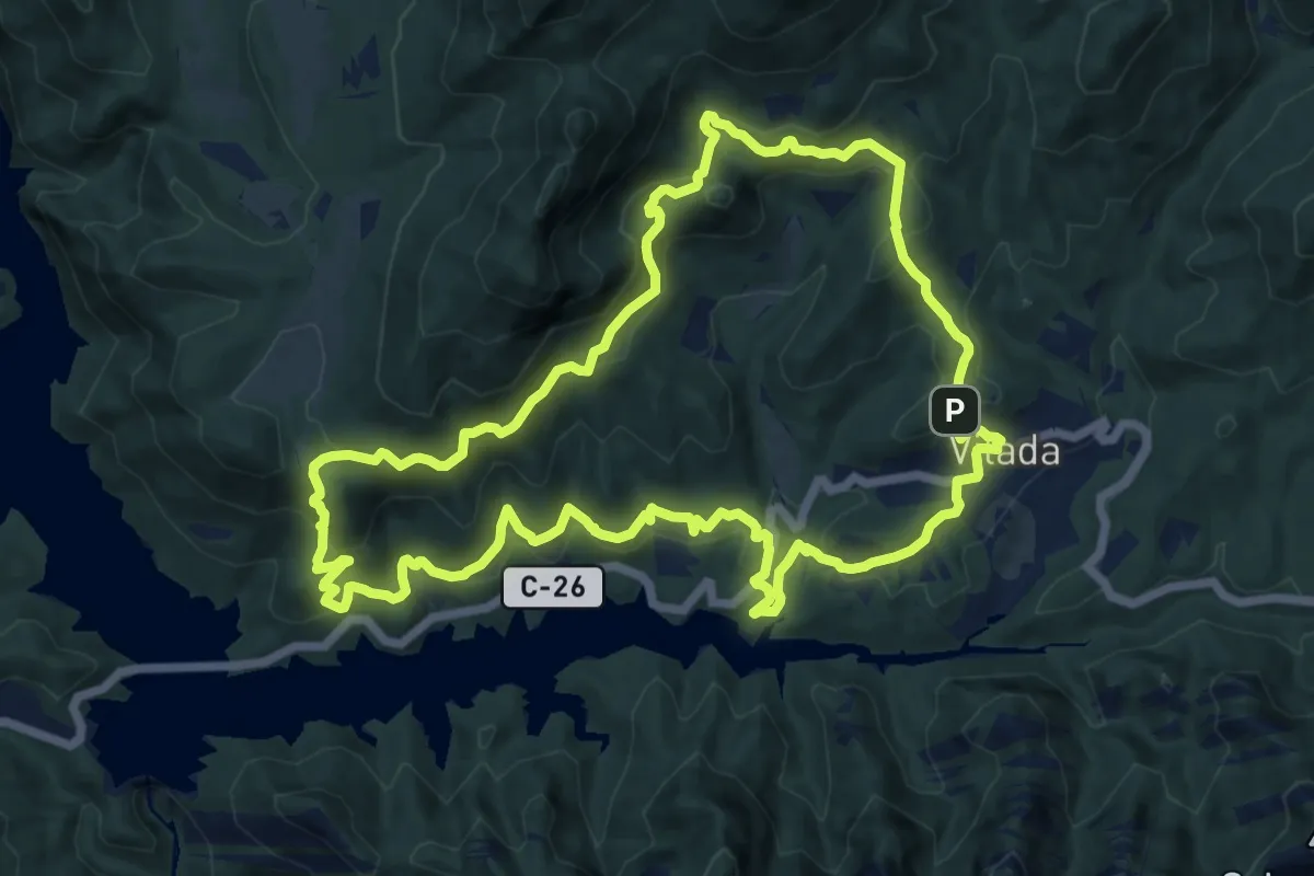
Medium · Summit
Sender de Vilada
13.6 km · ↑ 715 m · 4 h 58 min
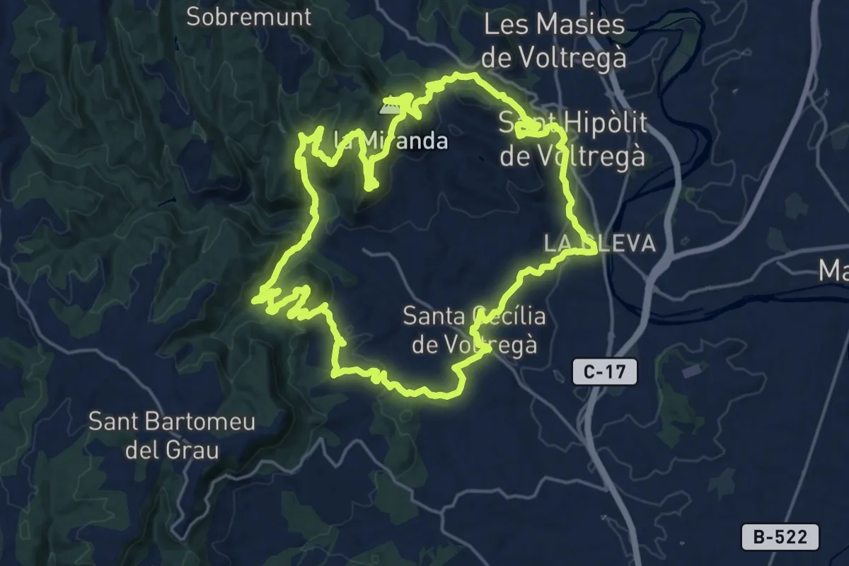
Demanding · Summit
Sender de Voltregà
22.6 km · ↑ 959 m · 7 h 43 min
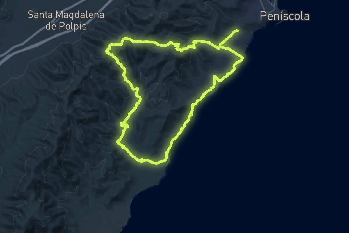
Demanding · Summit
Sender d'Irta
22.7 km · ↑ 686 m · 7 h 10 min
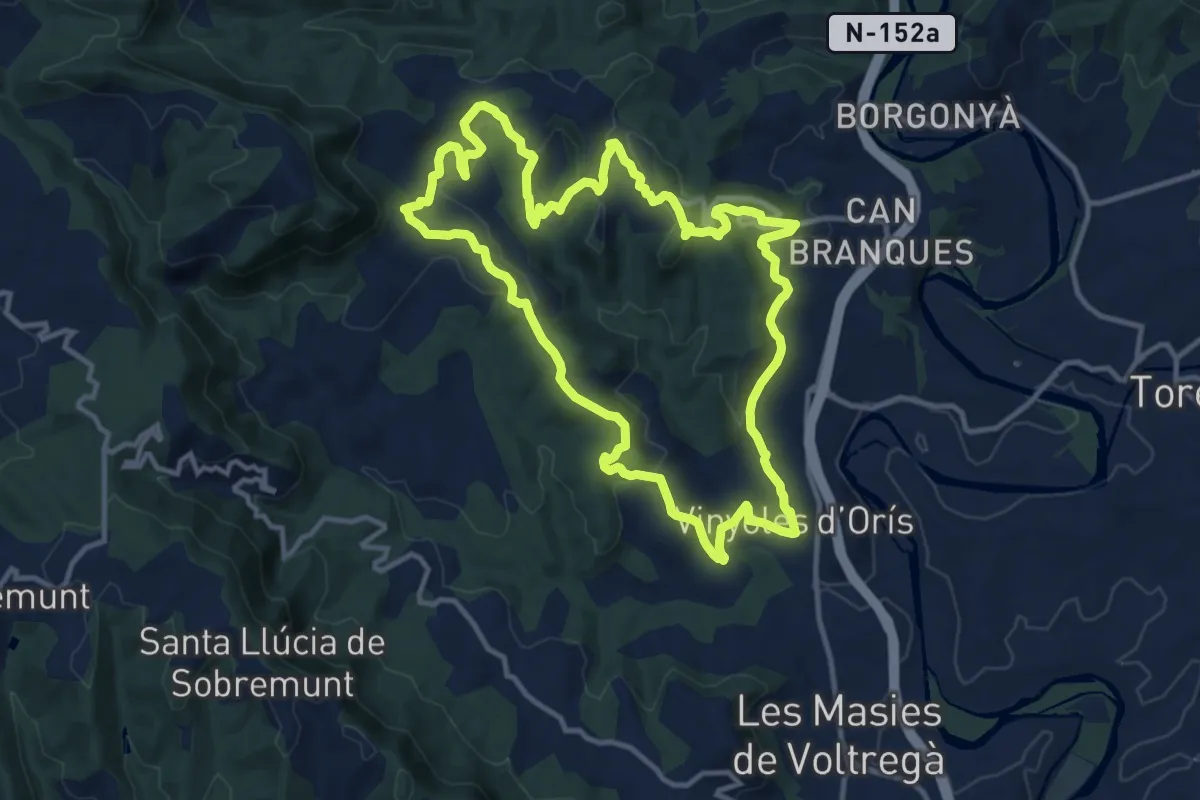
Medium · Summit
Sender d'Orís
13.2 km · ↑ 419 m · 4 h 13 min
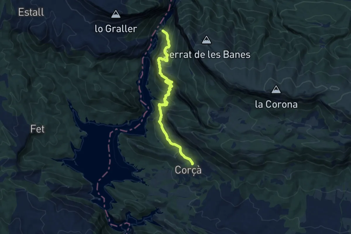
Demanding · Summit
Sender Històric: Catalunya
13.3 km · ↑ 917 m · 5 h 7 min
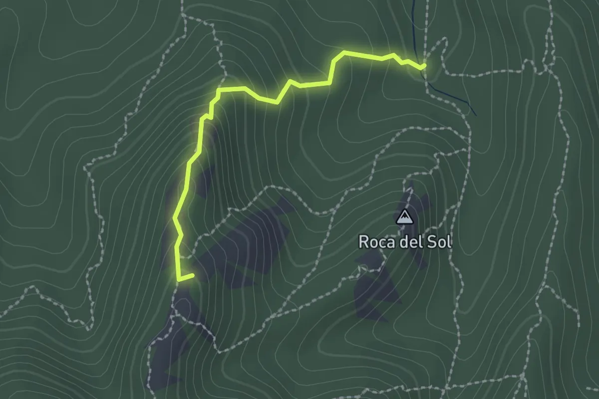
Demanding · Summit
sender local Els Carcaixells
2.1 km · ↑ 185 m · 53 min
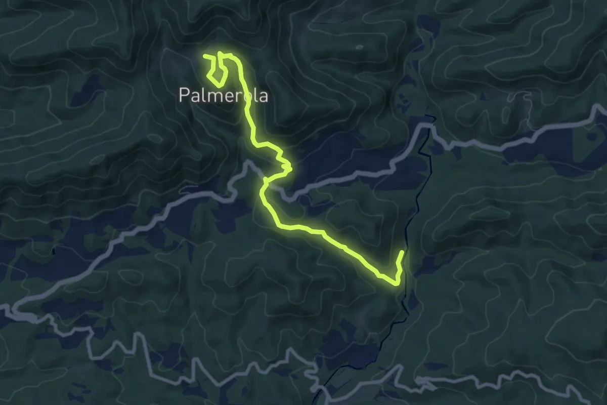
Medium · Cabin
Sender Local: Molí de la Farga - Palmerola
8.9 km · ↑ 400 m · 2 h 58 min
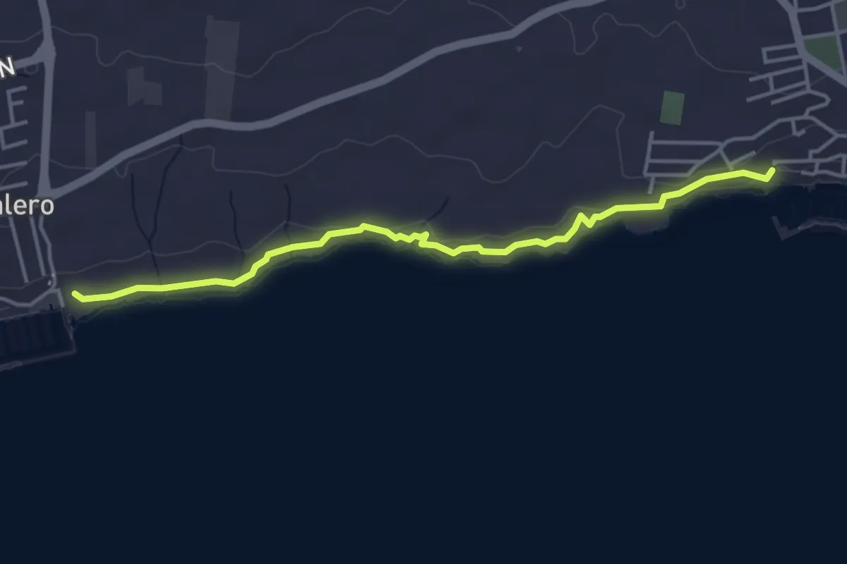
Easy · Trail
Sendero 1
5.2 km · ↑ 71 m · 1 h 23 min
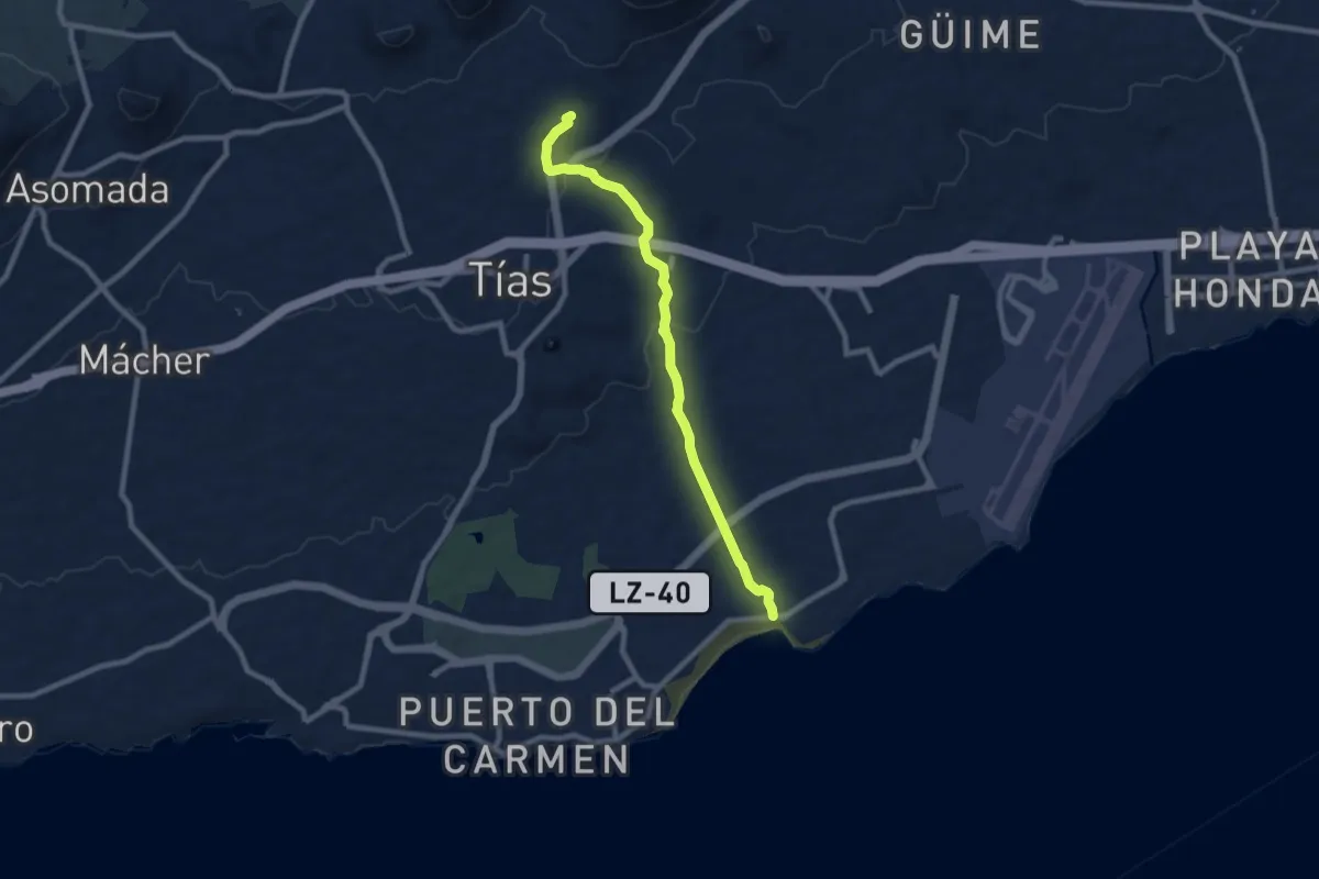
Medium · Trail
Sendero 2
10.4 km · ↑ 248 m · 3 h
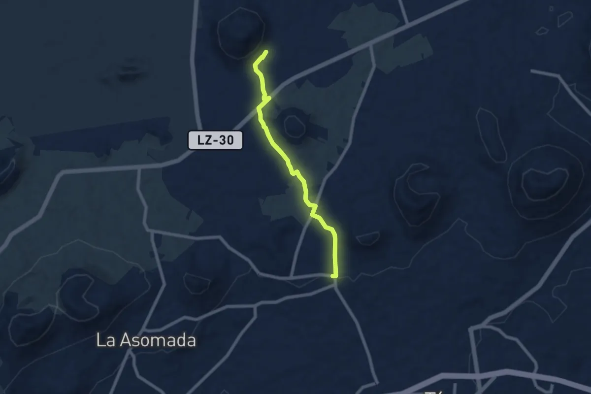
Easy · Trail
Sendero 3
7.0 km · ↑ 72 m · 1 h 49 min
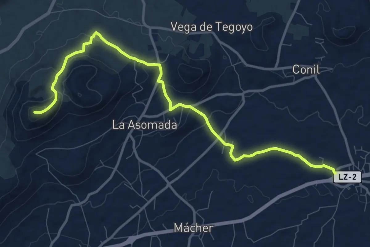
Medium · Summit
Sendero 4
12.4 km · ↑ 446 m · 3 h 54 min
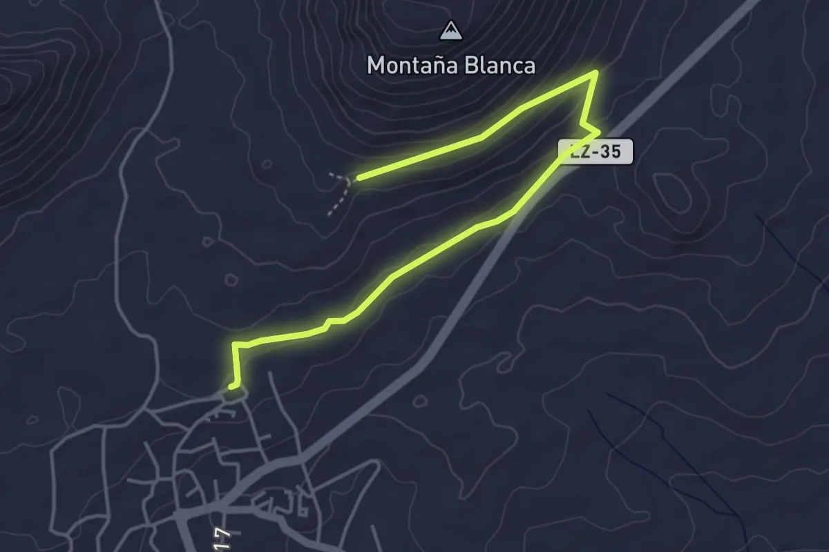
Easy · Trail
Sendero 5
5.8 km · ↑ 172 m · 1 h 45 min
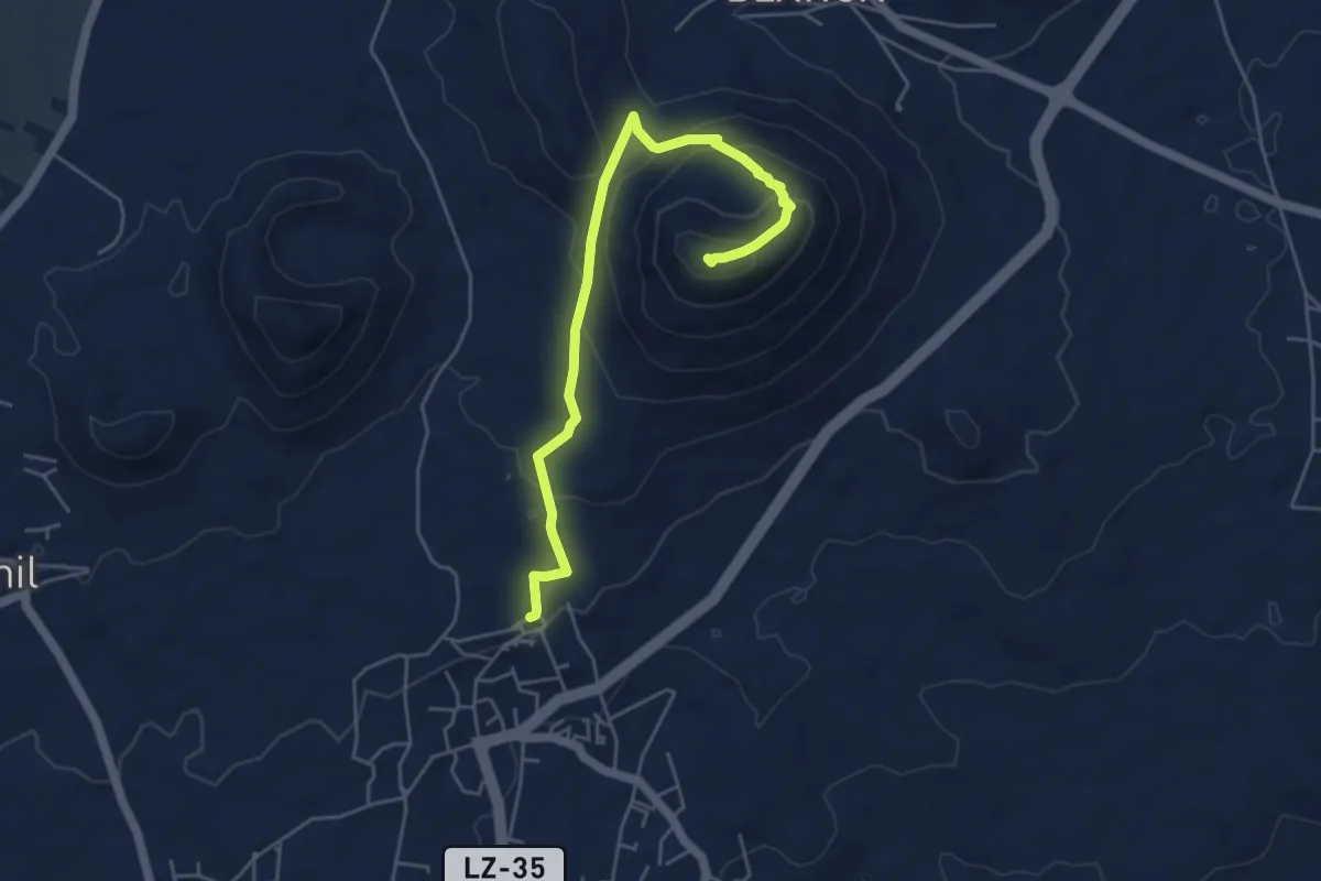
Medium · Summit
Sendero 6
6.5 km · ↑ 362 m · 2 h 20 min
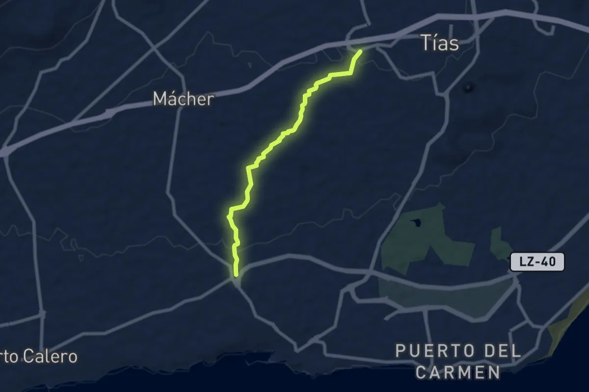
Easy · Trail
Sendero 7
7.3 km · ↑ 115 m · 1 h 59 min
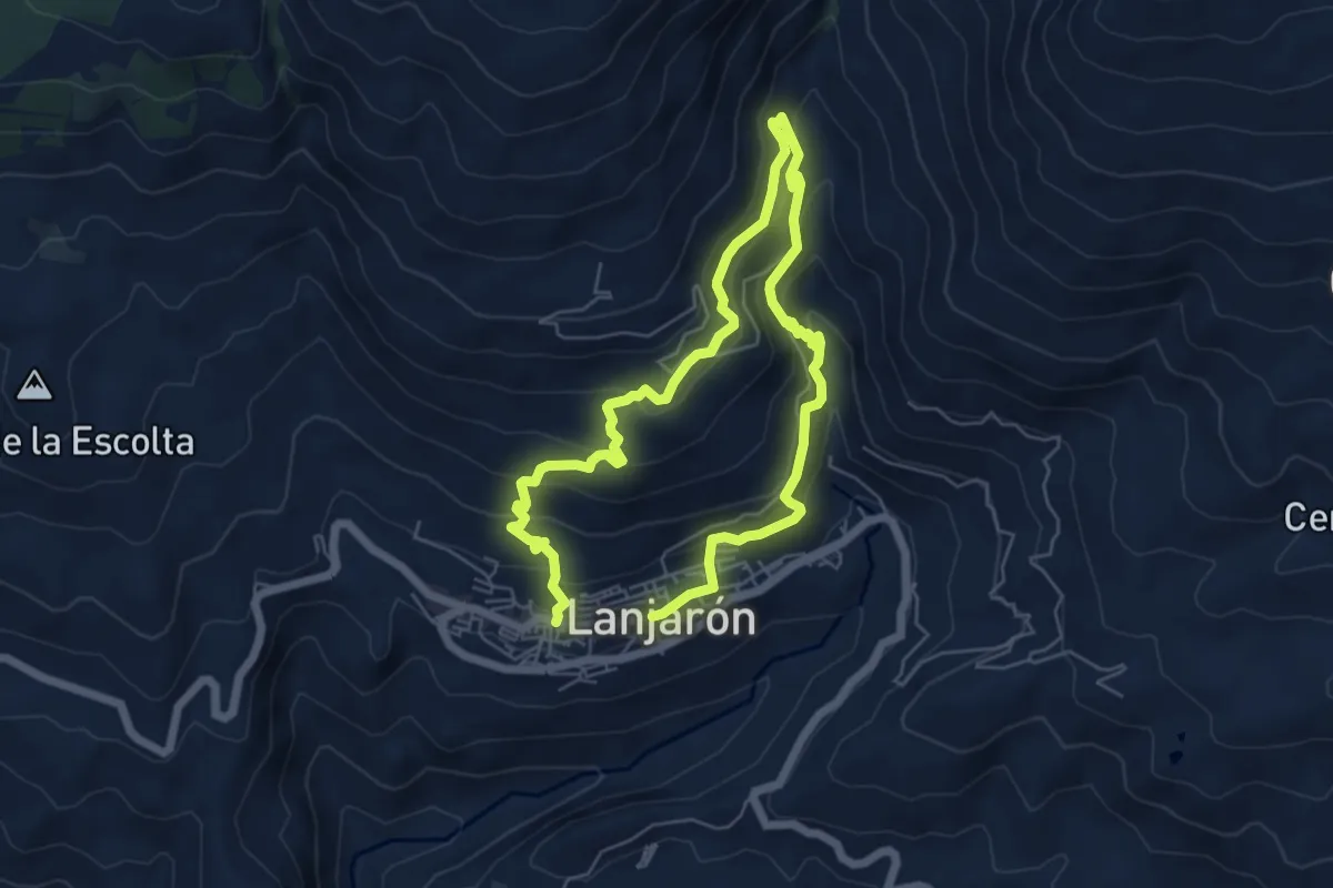
Medium · Trail
Sendero Acequia Aceituno - Cecarta
5.6 km · ↑ 335 m · 2 h 7 min
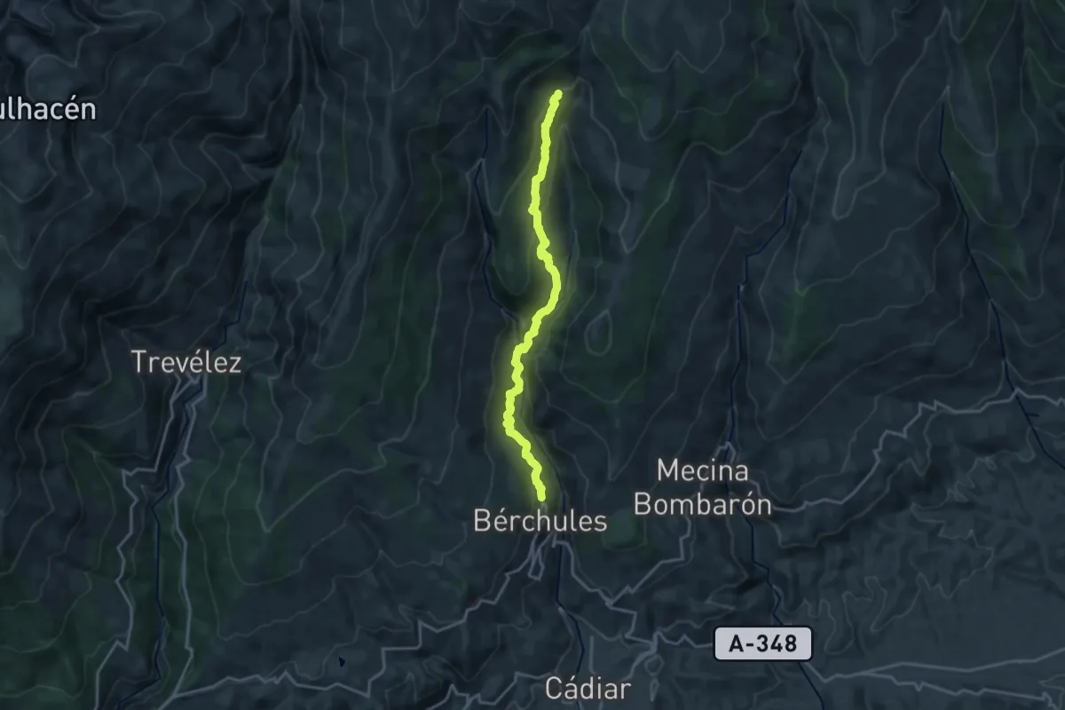
Demanding · Trail
Sendero a la Junta de los Ríos
19.1 km · ↑ 937 m · 6 h 32 min
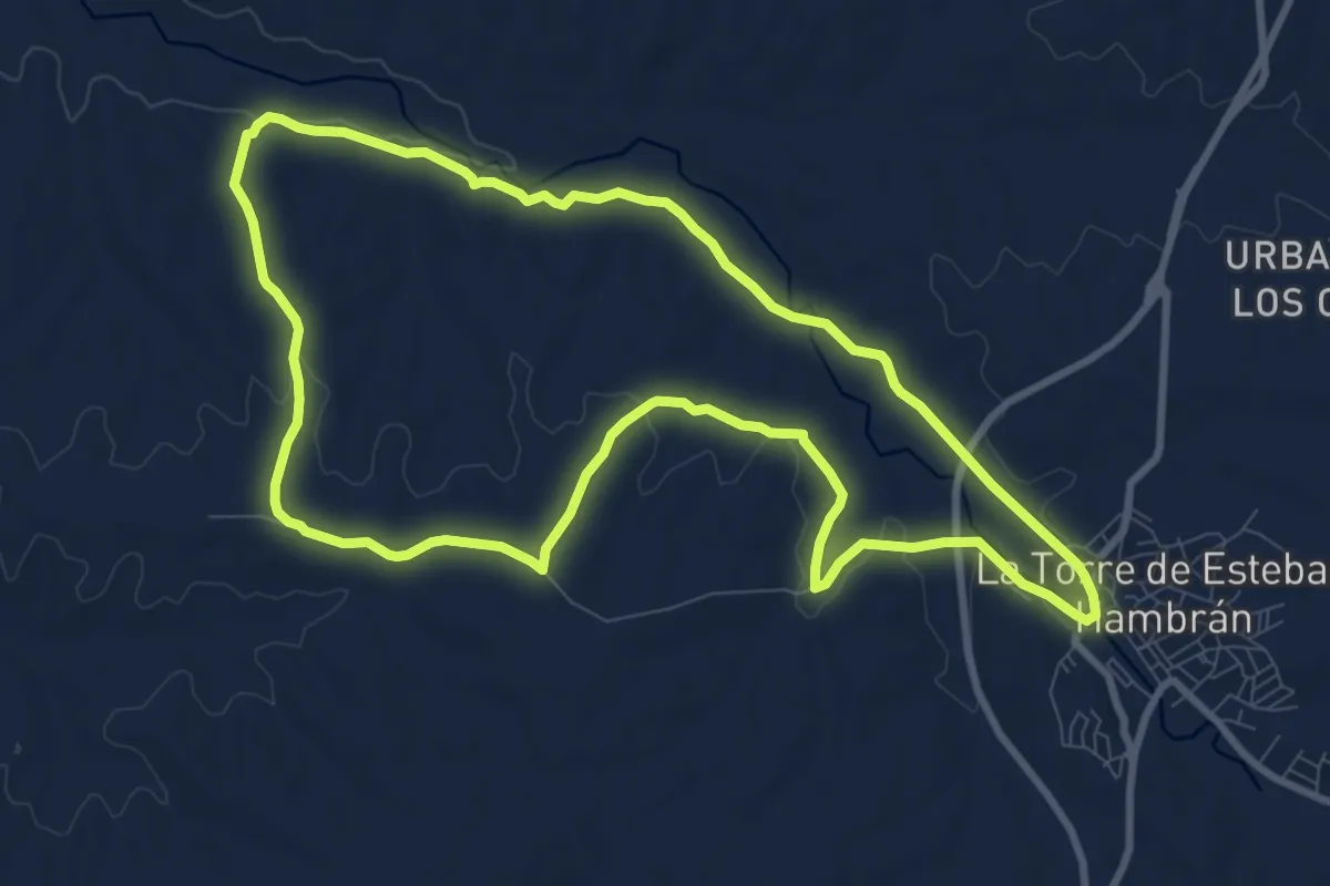
Medium · Trail
Sendero Alamín
10.5 km · ↑ 119 m · 2 h 53 min
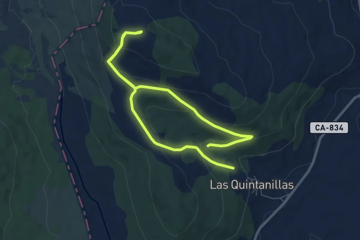
Easy · Trail
Sendero a la Peña Siete Cruces
5.2 km · ↑ 191 m · 1 h 44 min
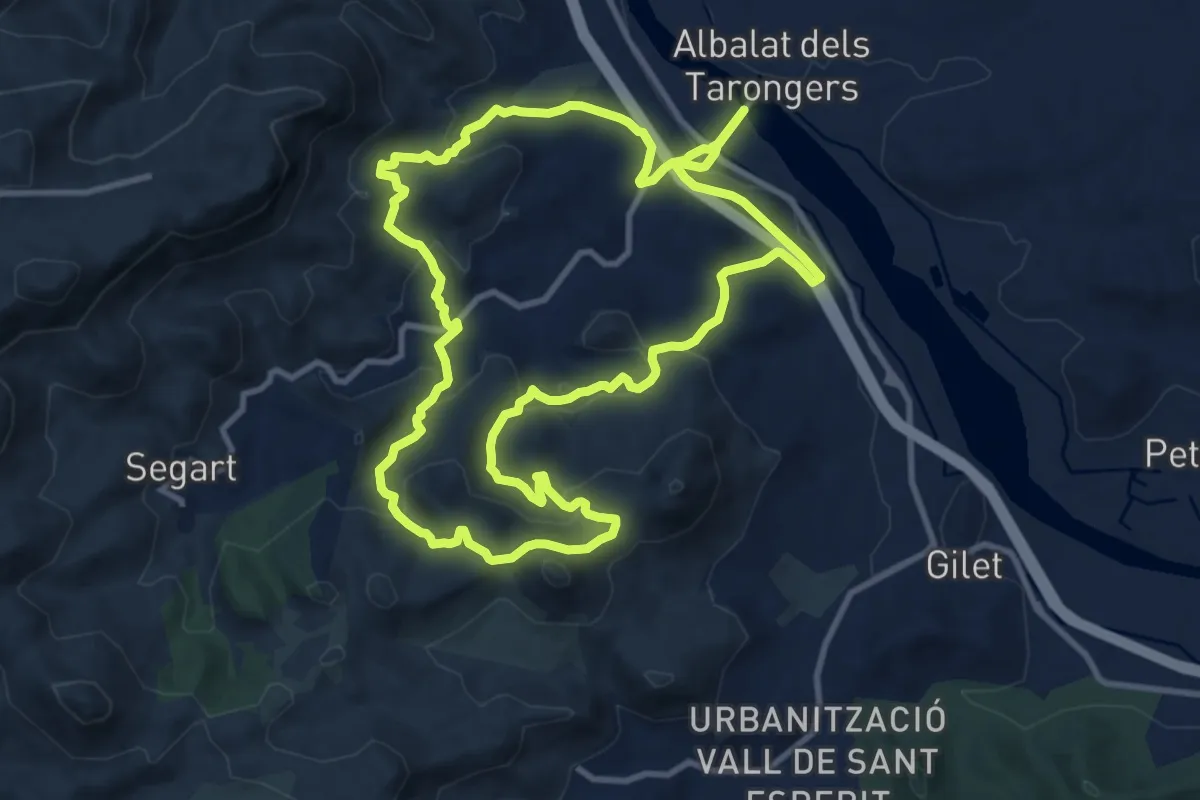
Medium · Summit
Sendero Albalat dels Tarongers
12.2 km · ↑ 452 m · 4 h 1 min
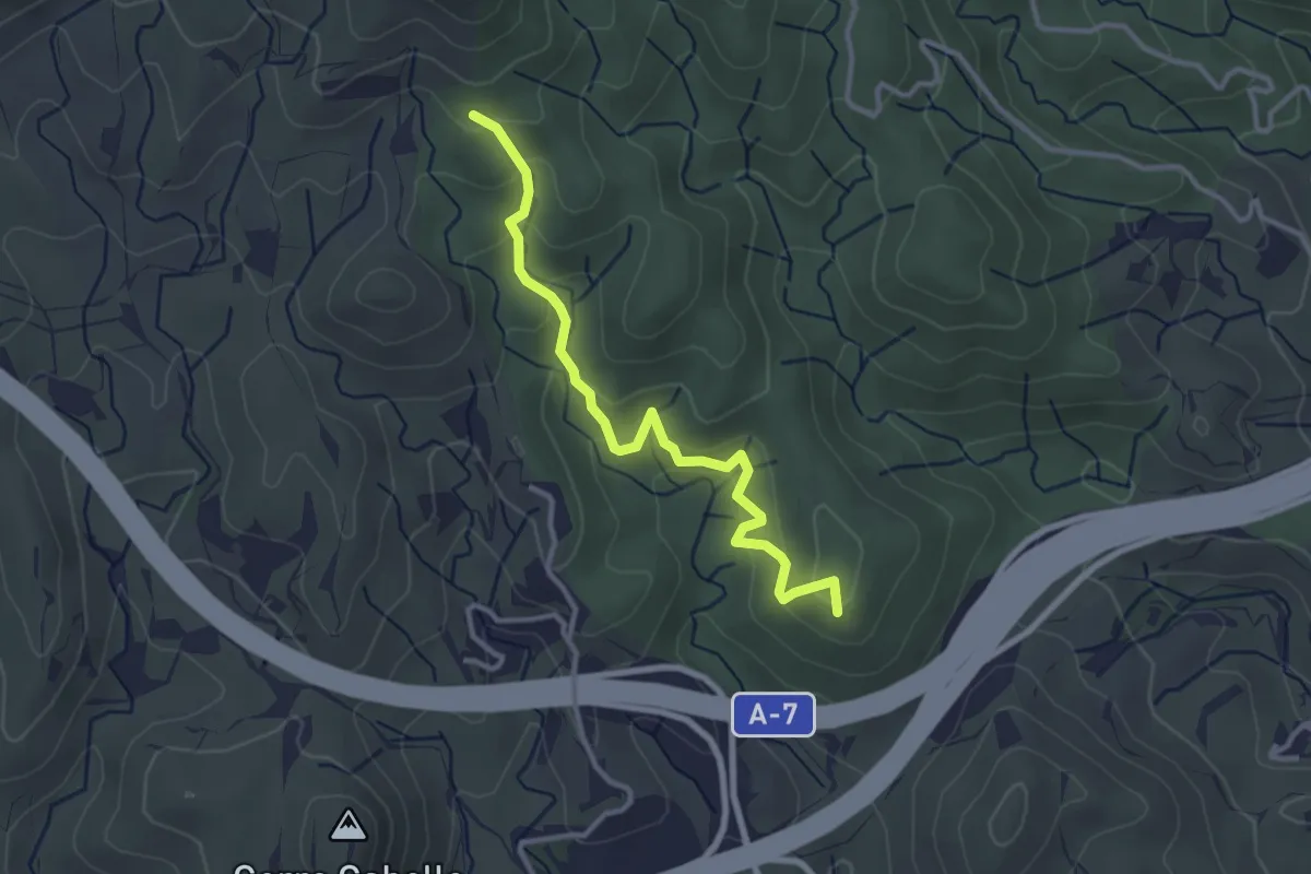
Easy · Trail
Sendero Alcabuceros
3.7 km · ↑ 223 m · 1 h 22 min
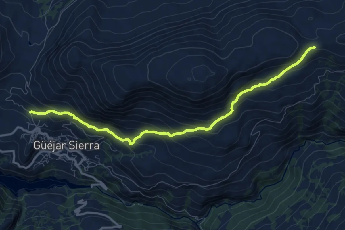
Medium · Trail
Sendero al Collado de la Gitana
10.4 km · ↑ 601 m · 3 h 45 min
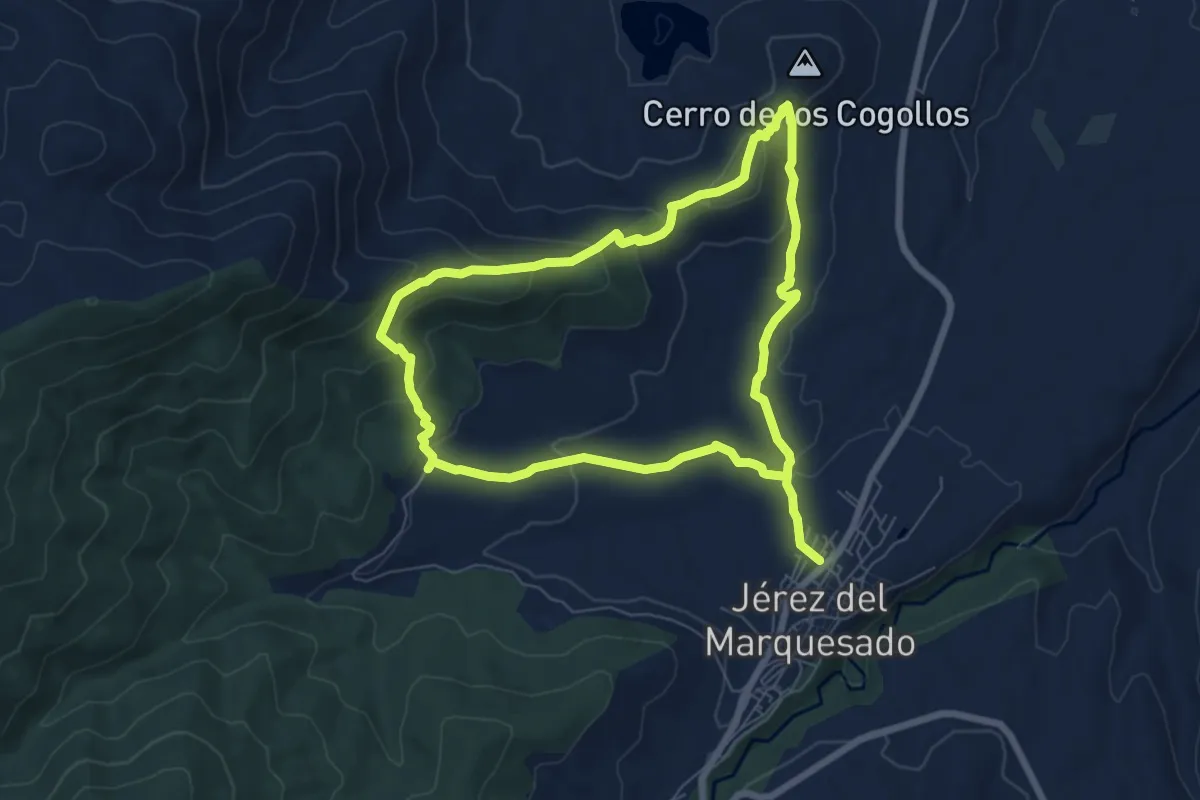
Easy · Trail
Sendero Alrután y Minas de Santa Constanza
7.5 km · ↑ 267 m · 2 h 27 min
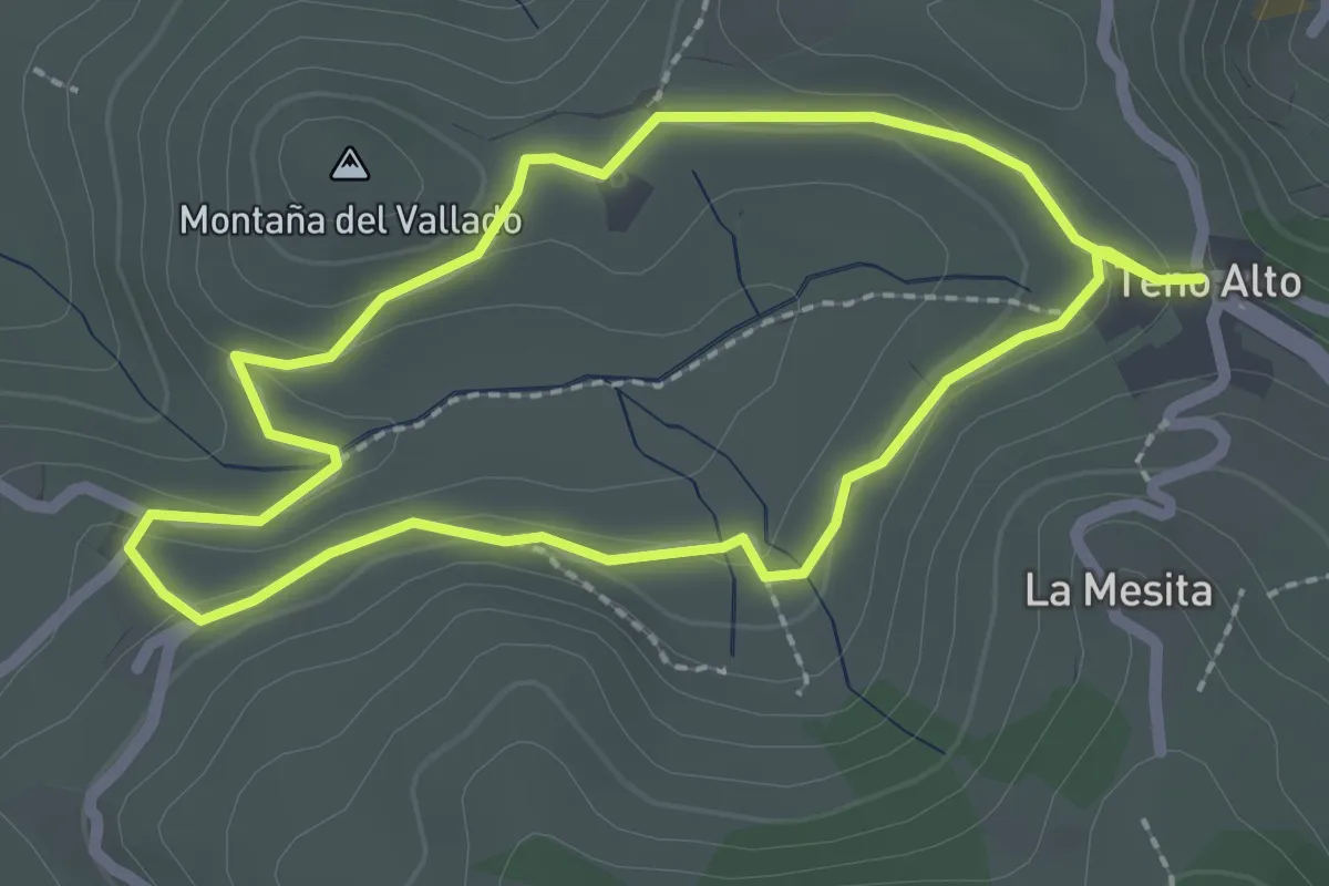
Easy · Summit
Sendero Autoguiado Teno Alto
2.7 km · ↑ 45 m · 47 min
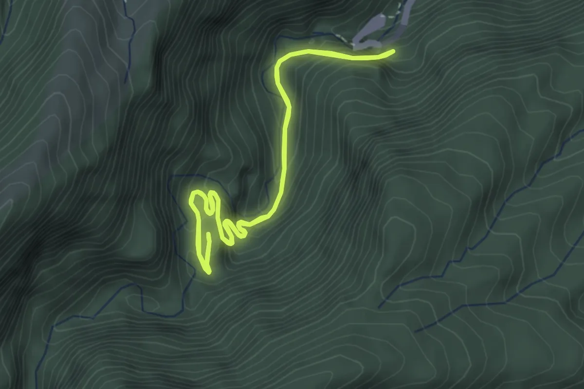
Medium · Trail
Sendero Autoguiado - Un balcón atravesado entre las brumas
4.4 km · ↑ 286 m · 1 h 44 min
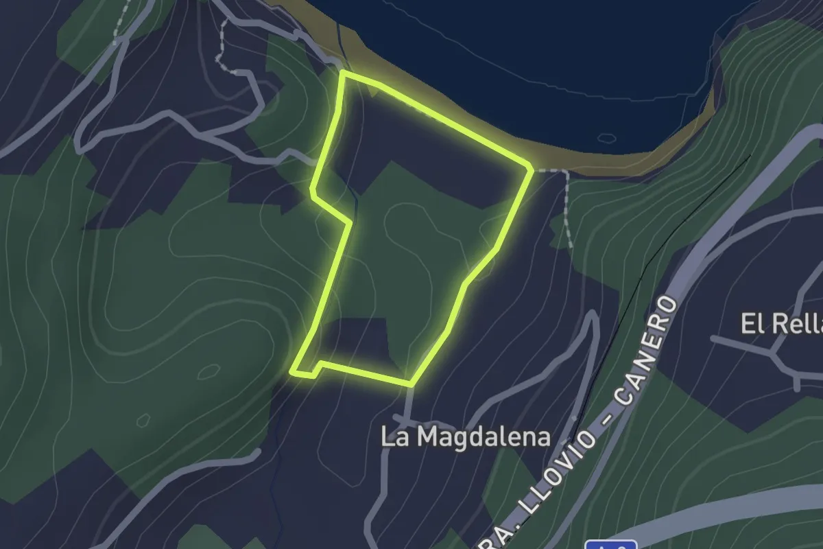
Easy · Trail
Sendero Azul
1.3 km · ↑ 53 m · 26 min
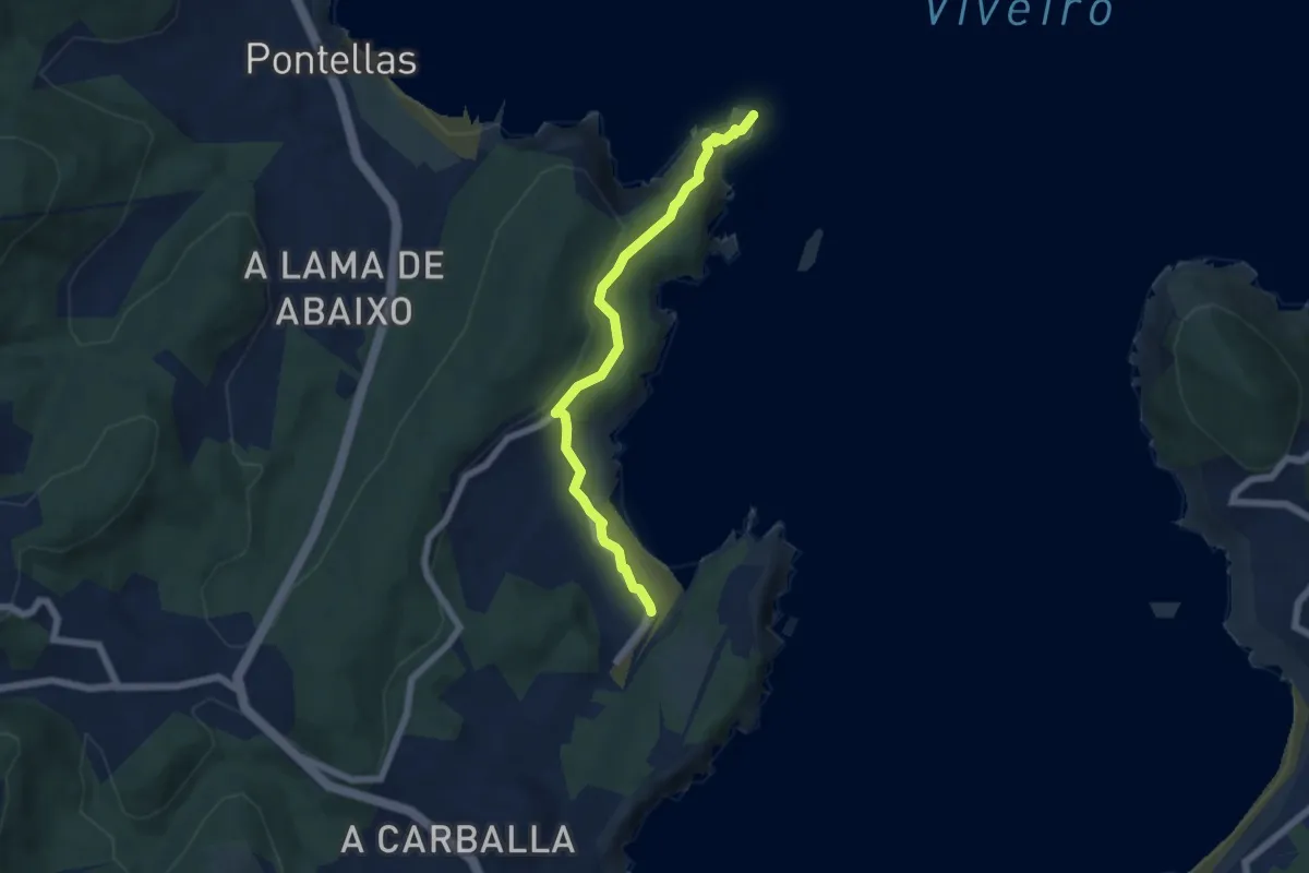
Easy · Trail
Sendero Azul Playa de Abrela - Punta Socastro (Fuciño do Porco)
5.9 km · ↑ 194 m · 1 h 49 min
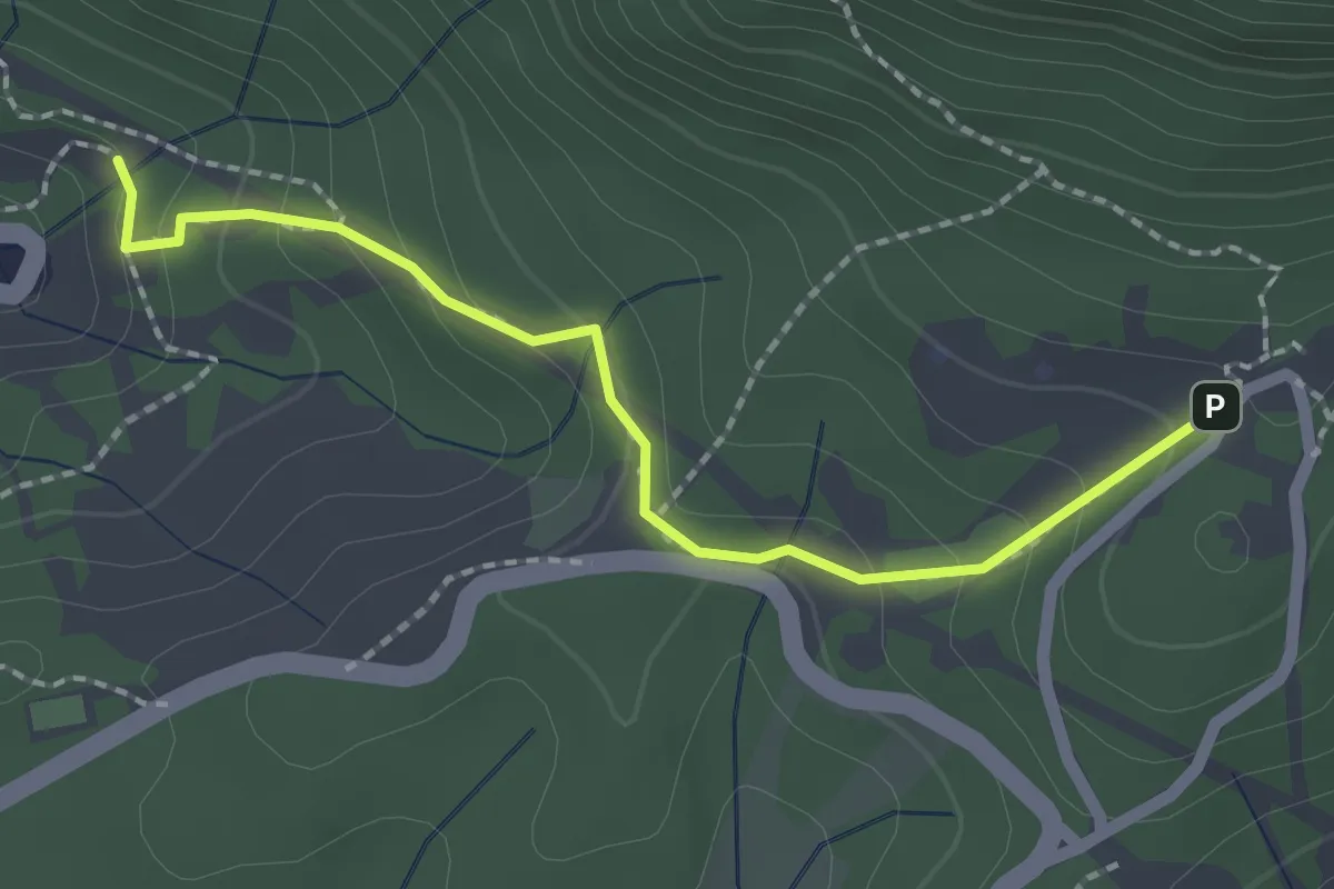
Easy · Trail
Sendero Barranco de Víznar
2.4 km · ↑ 144 m · 52 min
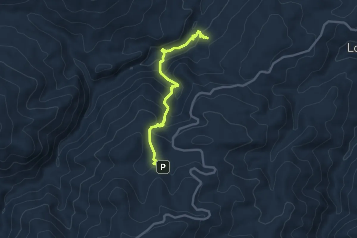
Medium · Trail
Sendero Bastidas - Floranes
6.5 km · ↑ 418 m · 2 h 27 min
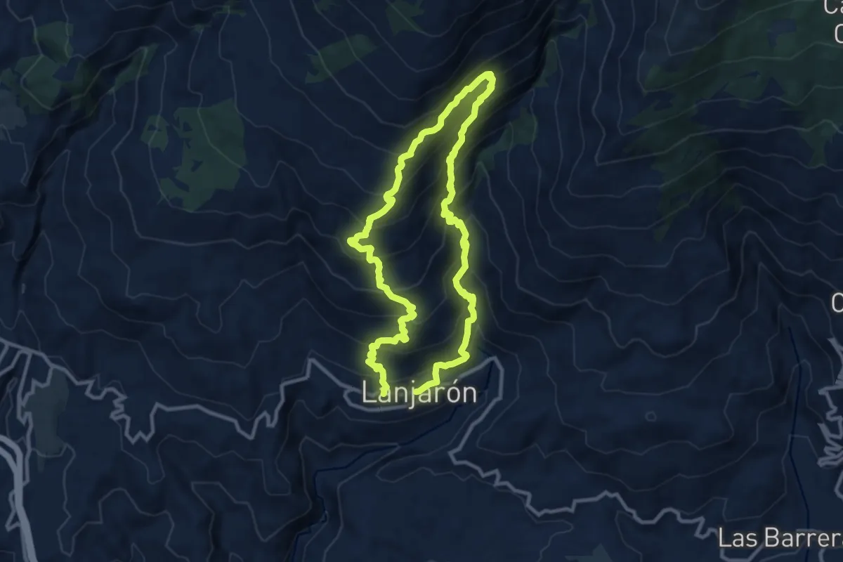
Demanding · Trail
Sendero Bordaila - Acequia Nueva
10.4 km · ↑ 841 m · 4 h 26 min