Trails in Sweden
3,247 hiking trails, each with its route, climb, walking time and grade.
All trails, page 51 of 68
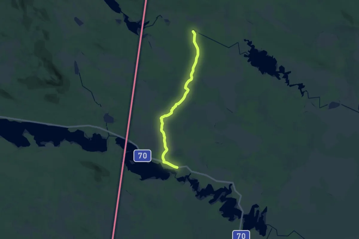
Medium · Trail
Södra Kungsleden - Stage 9
16.1 km · ↑ 97 m · 4 h 1 min
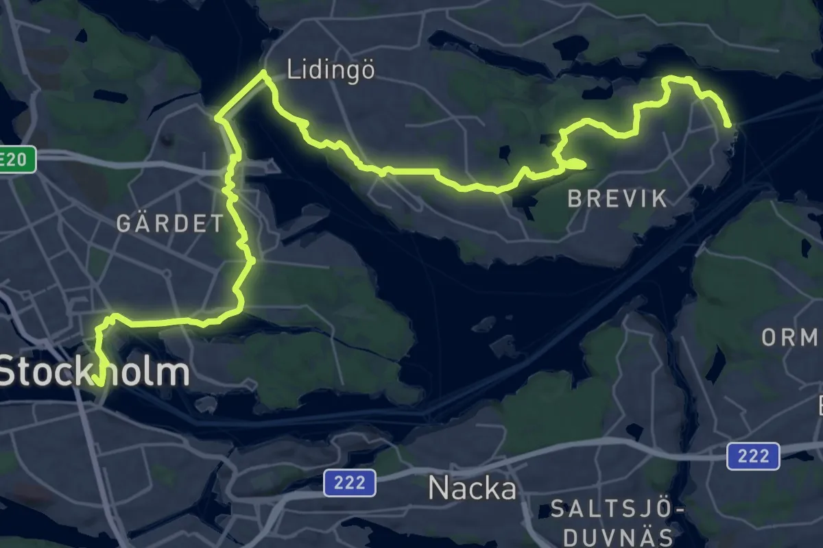
Demanding · Trail
Södra Lidingöstråket
18.8 km · ↑ 186 m · 5 h 6 min
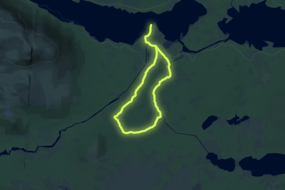
Demanding · Trail
Södra Ridvadsrundan
15.5 km · ↑ 1009 m · 6 h 4 min
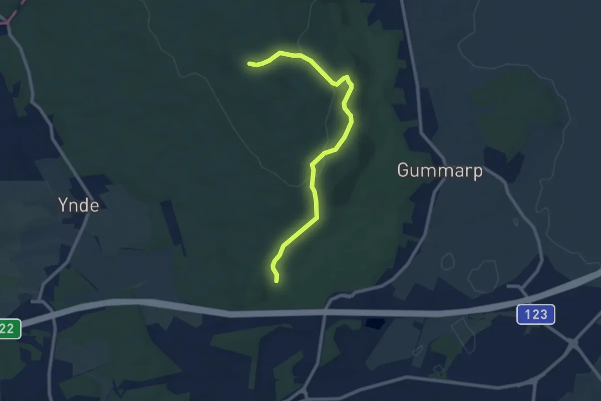
Easy · Trail
Södra Ryssberget, Blå
5.2 km · ↑ 147 m · 1 h 33 min
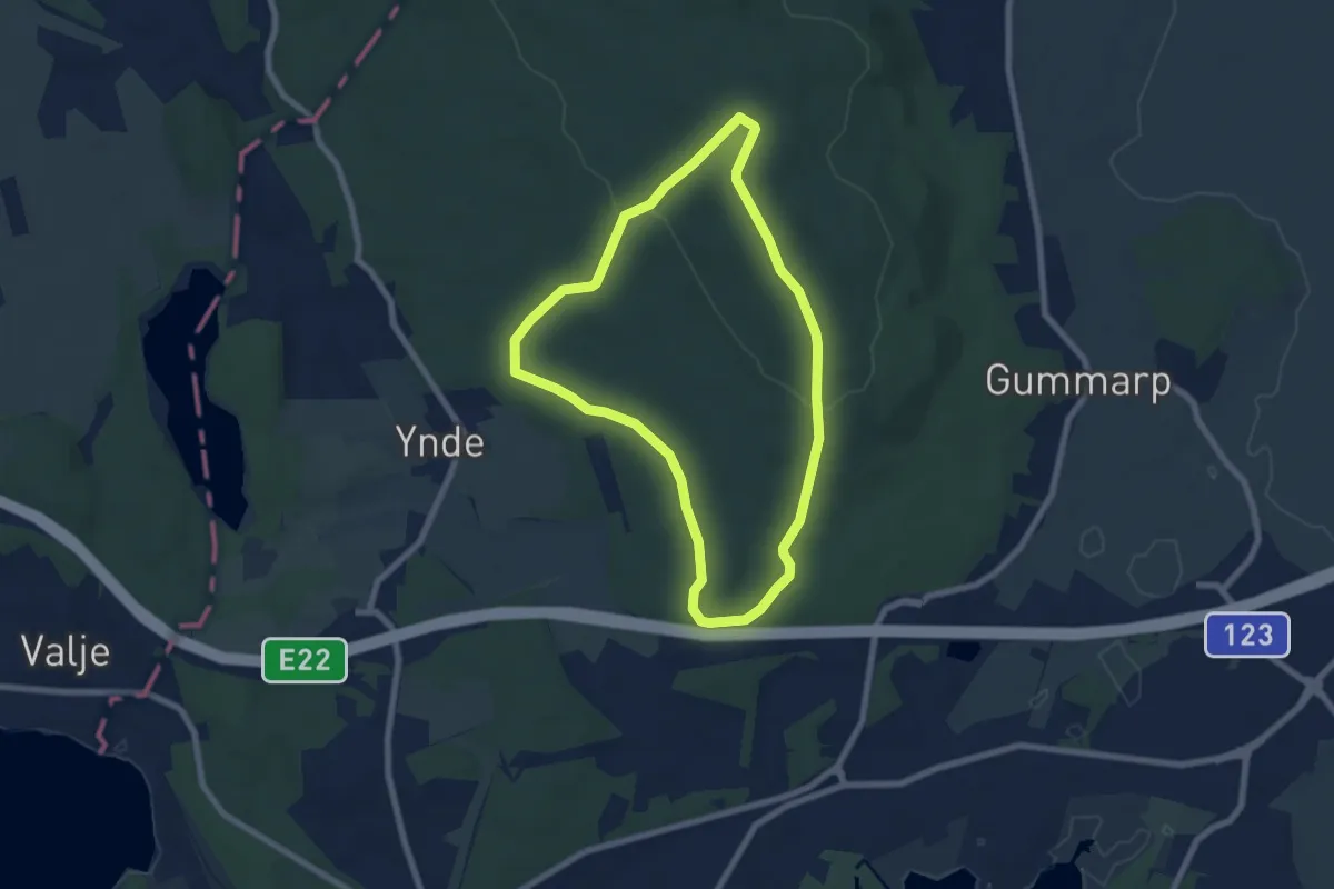
Easy · Summit
Södra Ryssberget, Gul
5.4 km · ↑ 84 m · 1 h 32 min
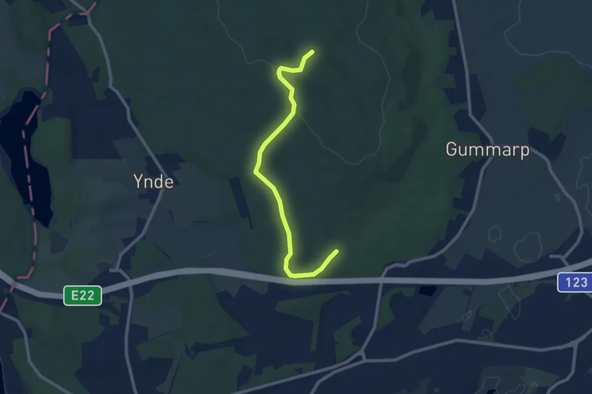
Easy · Trail
Södra Ryssberget, Vit
5.3 km · ↑ 84 m · 1 h 26 min
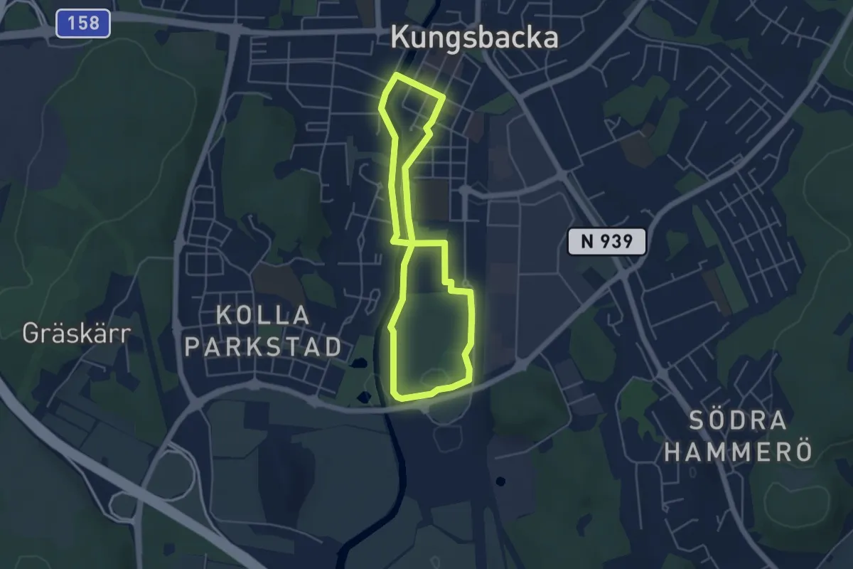
Easy · Trail
Södra slingan
3.4 km · ↑ 0 m · 51 min
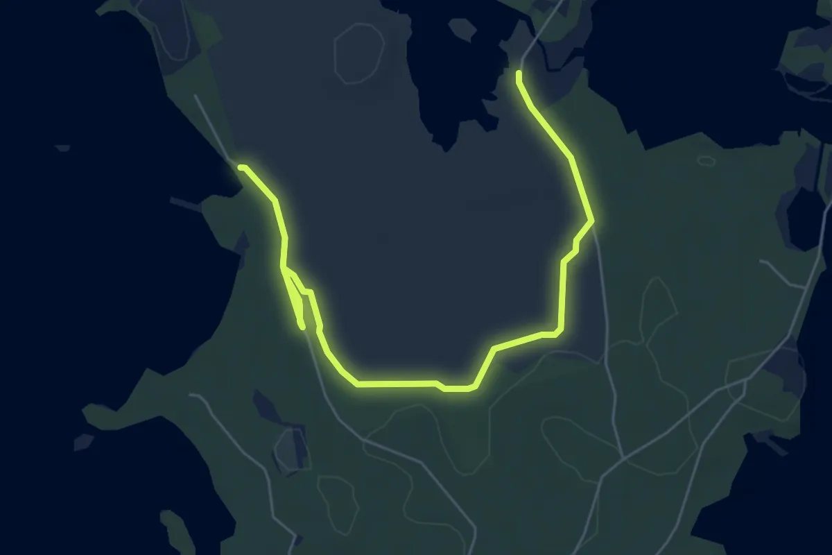
Easy · Trail
Södra Slingan
5.4 km · ↑ 4 m · 1 h 17 min
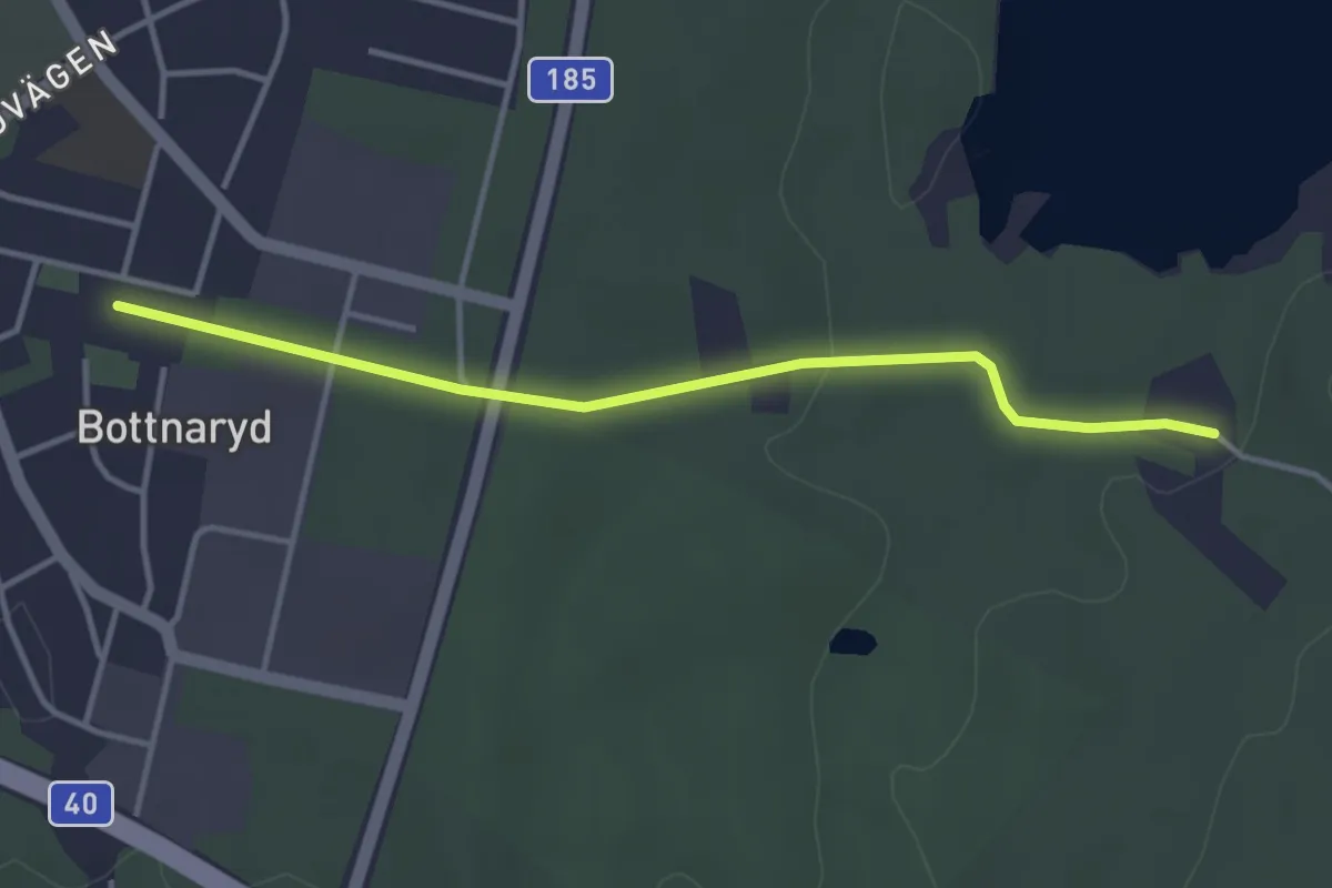
Easy · Trail
Södra Vätterleden: Bottnaryd
2.8 km · ↑ 18 m · 43 min
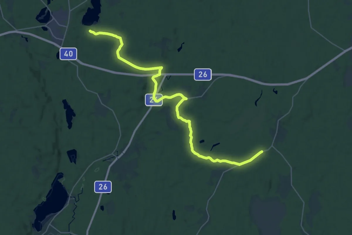
Demanding · Trail
Södra Vätterleden: Bottnaryd–Nissan
24.3 km · ↑ 173 m · 6 h 6 min
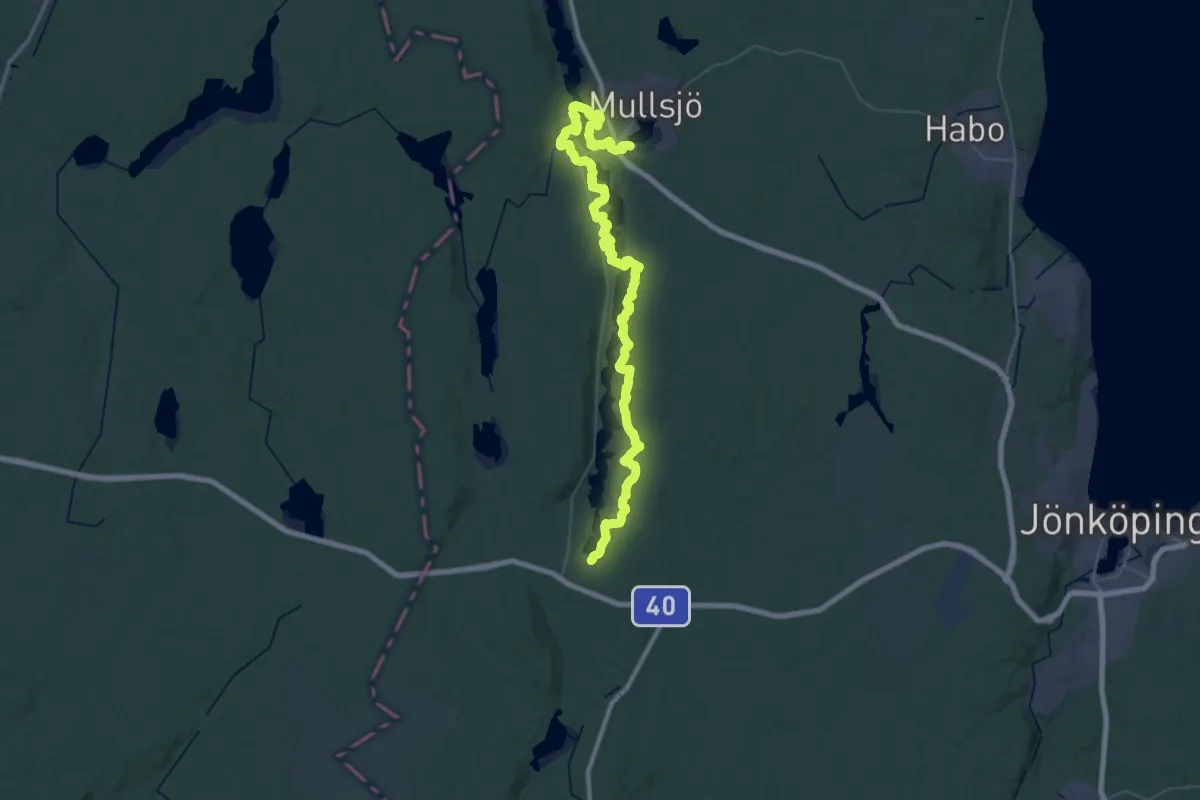
Demanding · Trail
Södra Vätterleden: Mullsjö–Bottnaryd
28.5 km · ↑ 285 m · 7 h 43 min
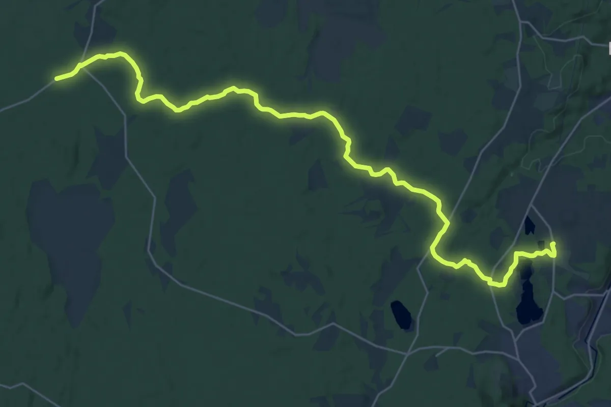
Demanding · Trail
Södra Vätterleden: Nissan–Martinsgården
24.5 km · ↑ 176 m · 6 h 10 min
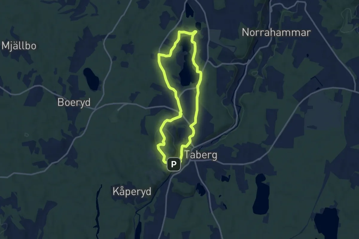
Easy · Trail
Södra Vätterleden: Taberg
7.9 km · ↑ 179 m · 2 h 22 min
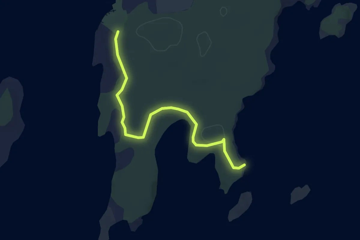
Easy · Trail
Sohuvudsudden
3.3 km · ↑ 15 m · 48 min
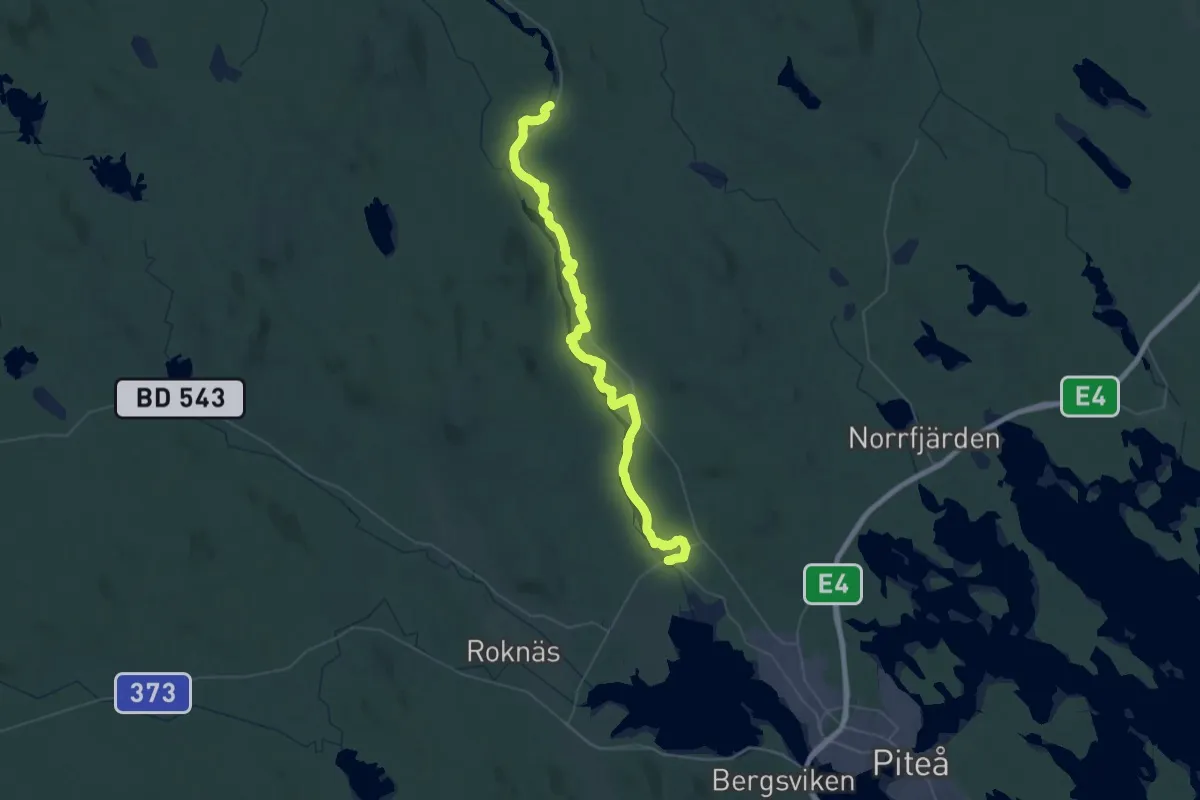
Demanding · Trail
Solanderleden - Blå
24.1 km · ↑ 1016 m · 8 h 13 min
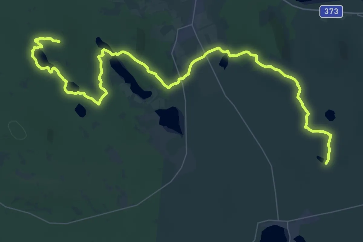
Demanding · Summit
Solanderleden - Grön
30.4 km · ↑ 952 m · 9 h 15 min
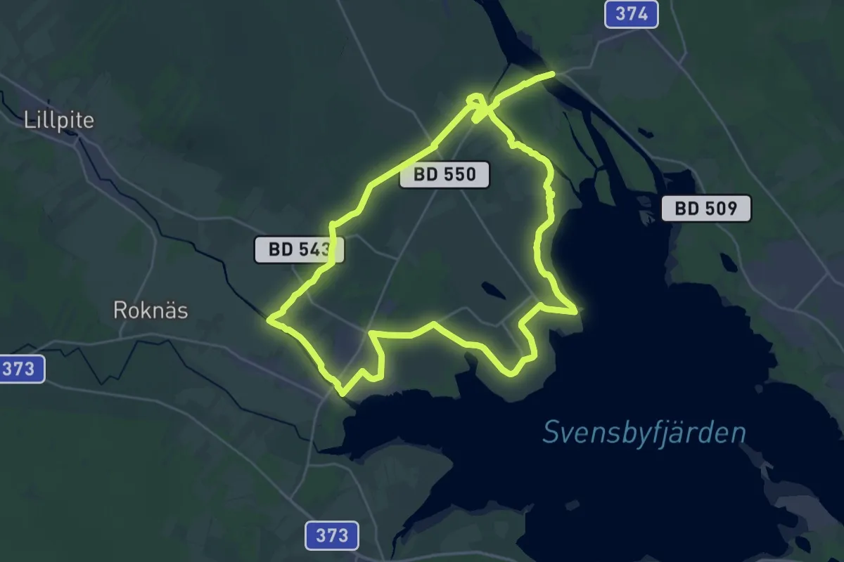
Medium · Trail
Solanderleden - Gul
17.4 km · ↑ 322 m · 5 h 3 min
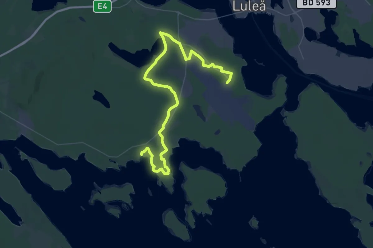
Medium · Trail
Solanderleden - Ljusorange
16.8 km · ↑ 92 m · 4 h 24 min
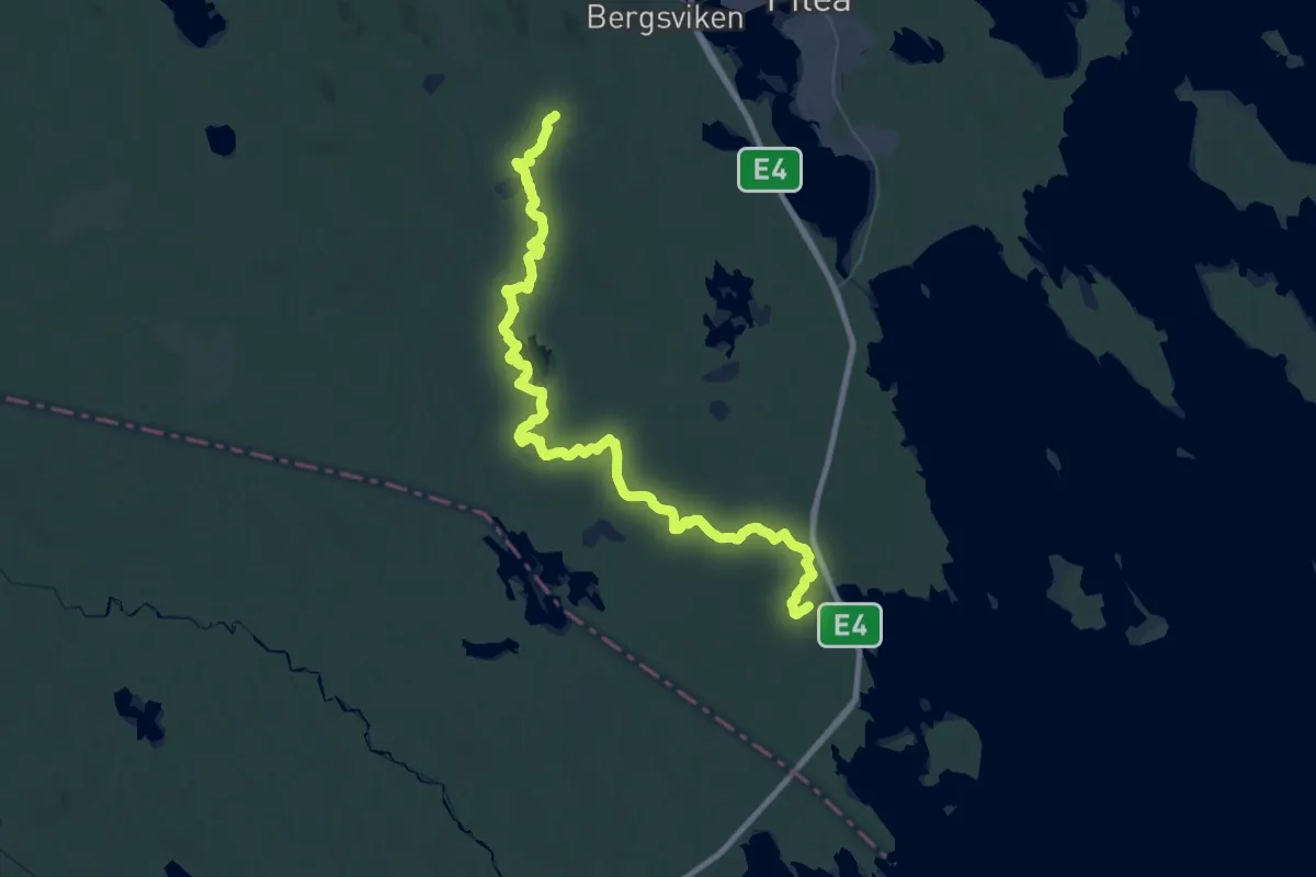
Demanding · Summit
Solanderleden - Röd
64.3 km · ↑ 1893 m · 19 h 16 min
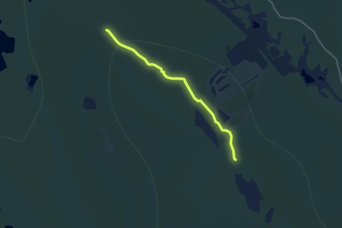
Easy · Trail
Solbergsleden
5.2 km · ↑ 67 m · 1 h 22 min
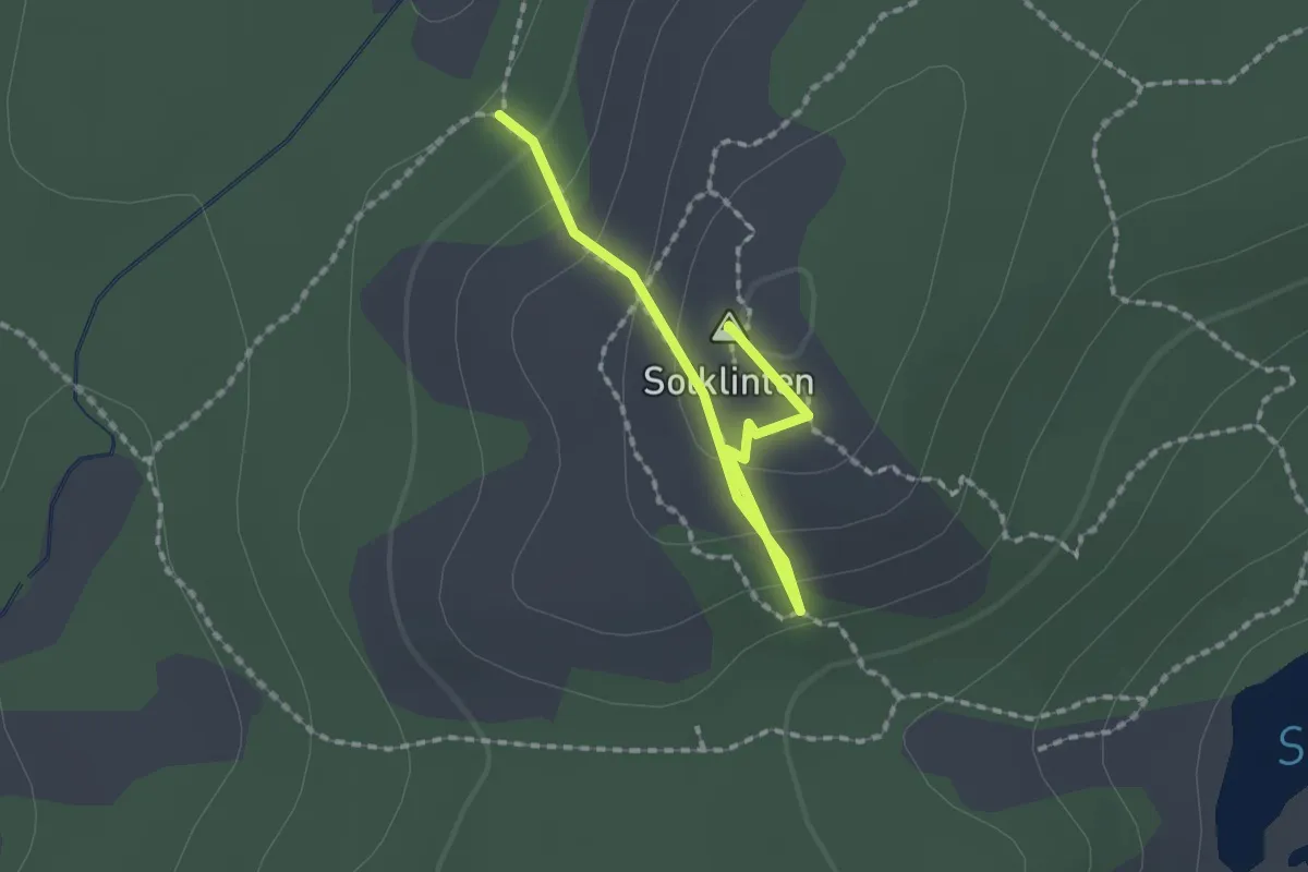
Easy · Summit
Solklinten
1.5 km · ↑ 101 m · 34 min
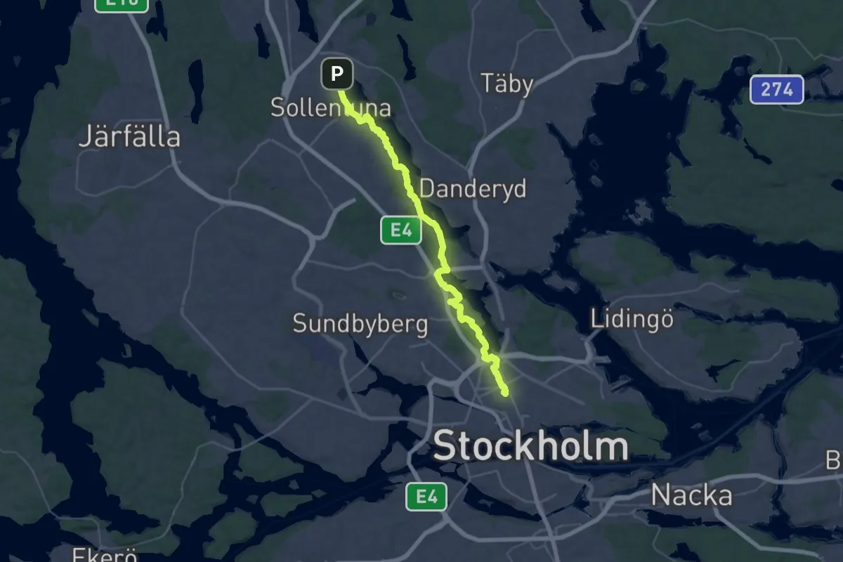
Demanding · Summit
Sollentunastråket
31.4 km · ↑ 297 m · 8 h 3 min
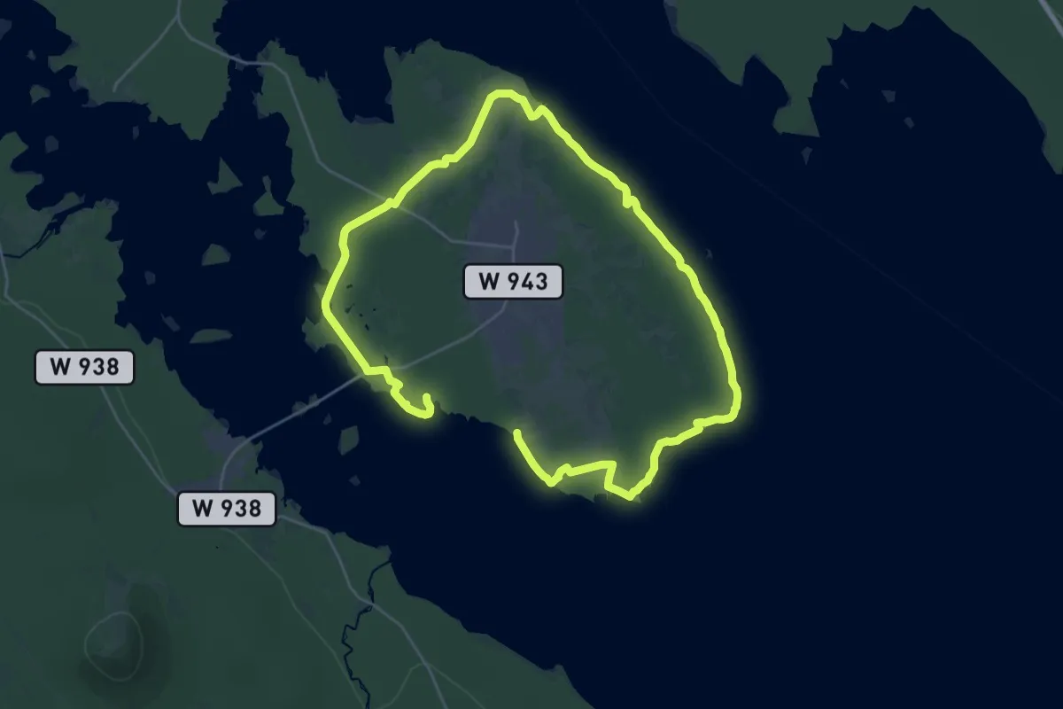
Medium · Trail
Sollerön runt
16.6 km · ↑ 653 m · 5 h 35 min
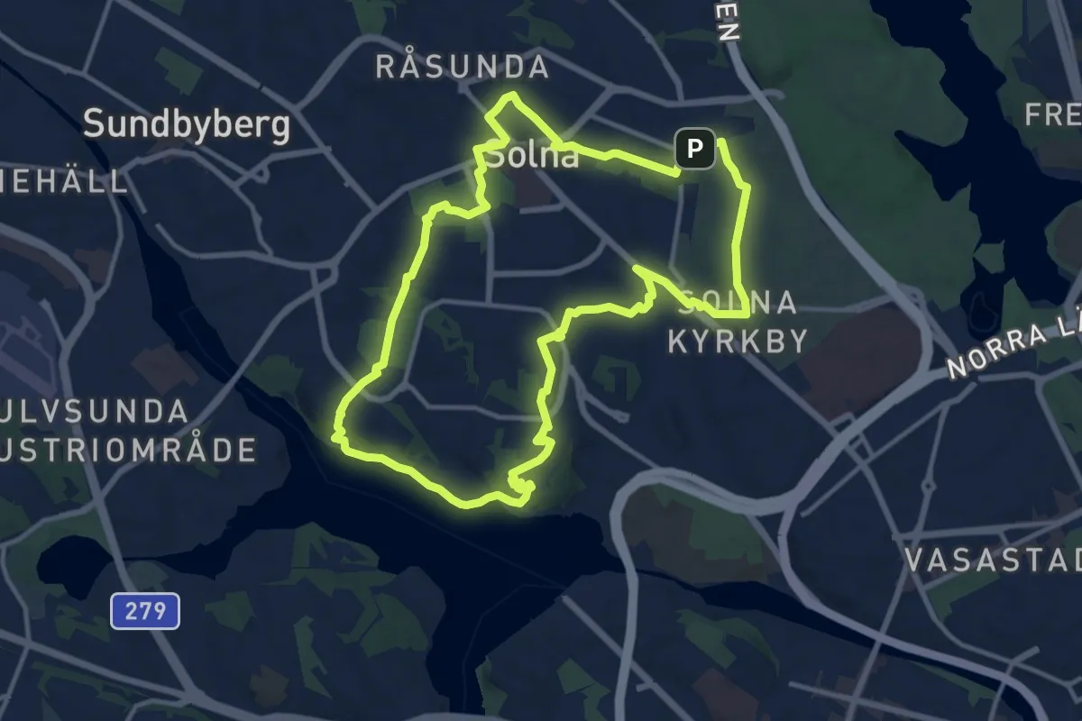
Medium · Trail
Solnarundan
9.4 km · ↑ 103 m · 2 h 34 min
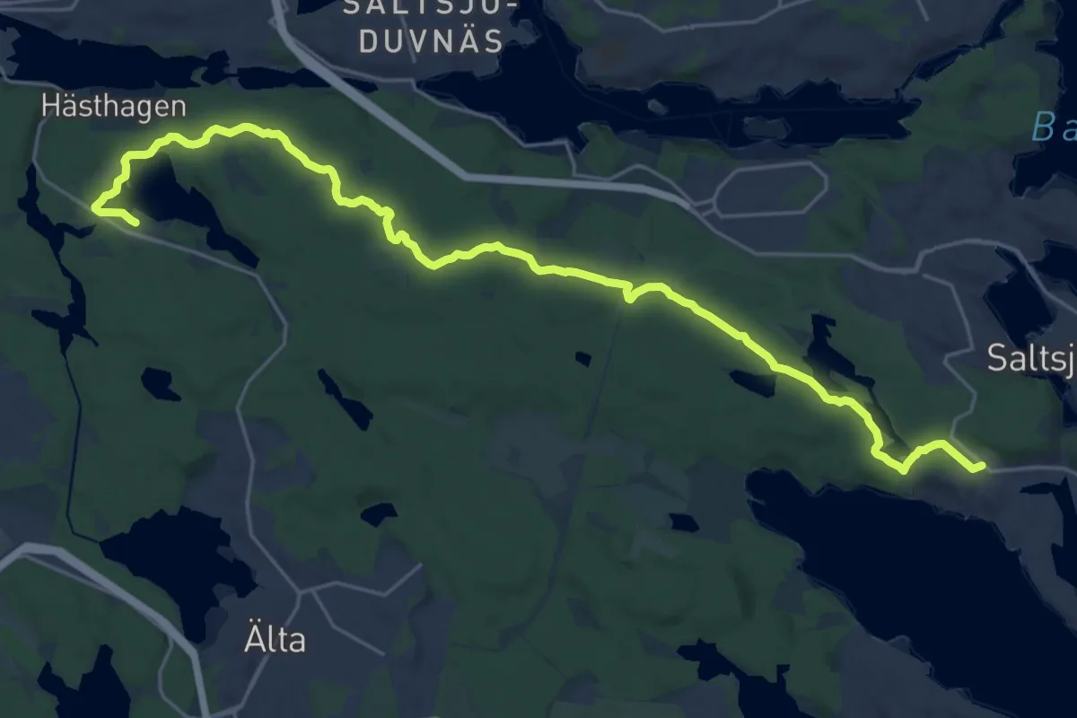
Demanding · Trail
Solsidan norra
21.1 km · ↑ 100 m · 5 h 12 min
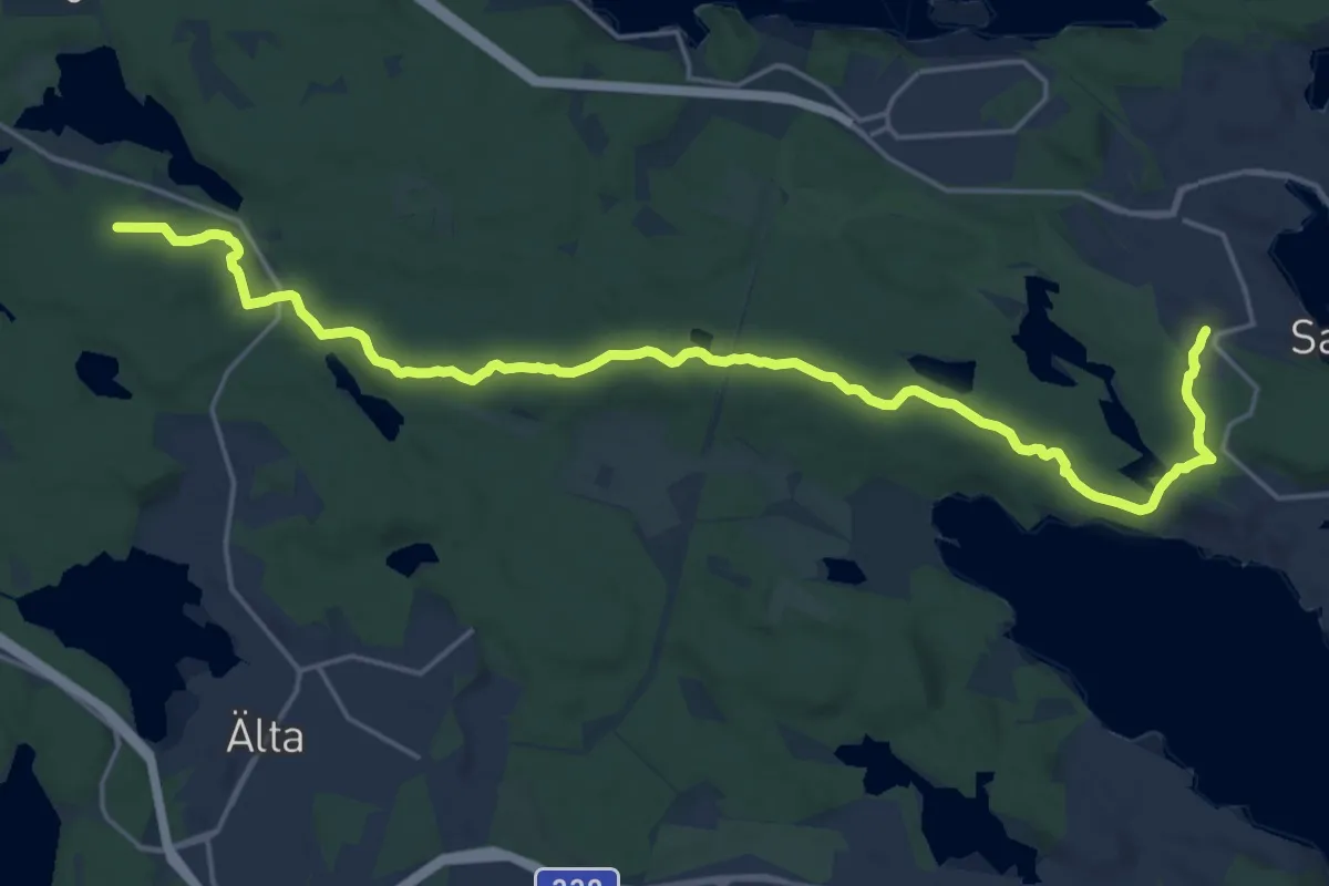
Medium · Trail
Solsidan södra
17.9 km · ↑ 163 m · 4 h 35 min
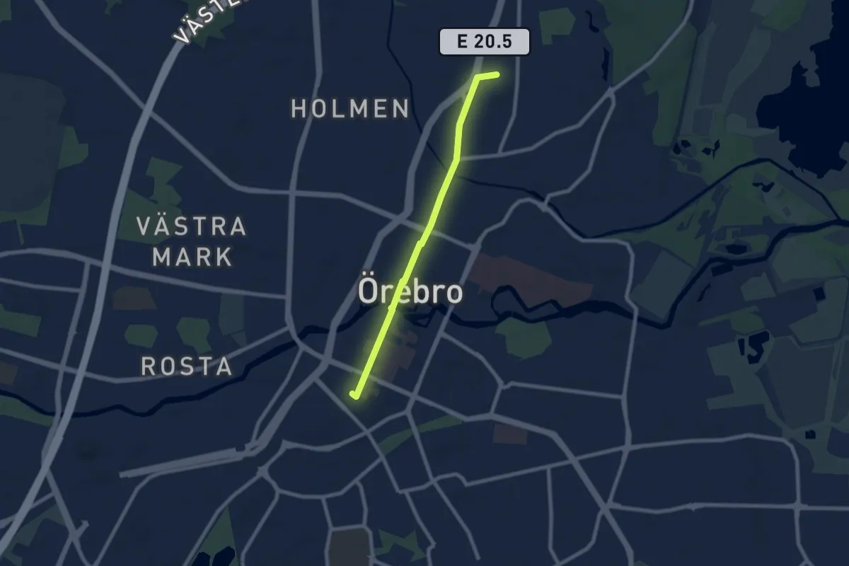
Easy · Trail
Solsystemet i Örebroformat
5.0 km · ↑ 12 m · 1 h 12 min
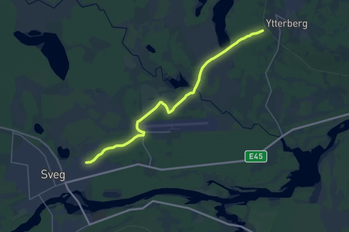
Medium · Trail
Sommarstigen
13.5 km · ↑ 58 m · 3 h 19 min
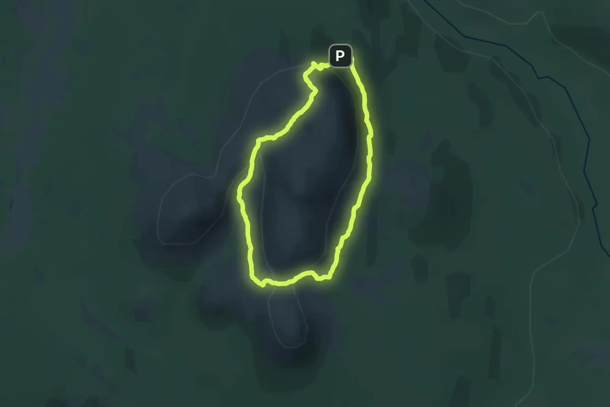
Demanding · Trail
Sonfjället runt
16.1 km · ↑ 882 m · 5 h 56 min
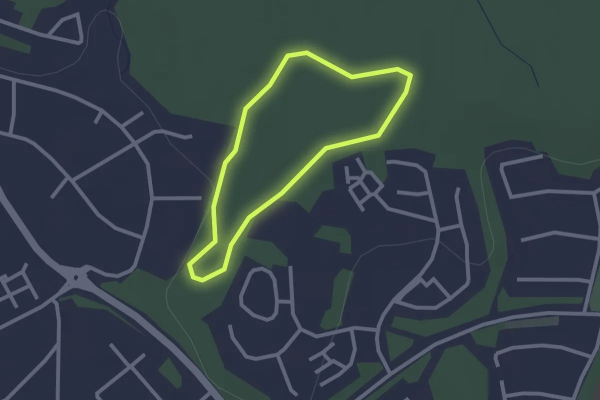
Easy · Trail
Söraspåret
1.3 km · ↑ 13 m · 21 min
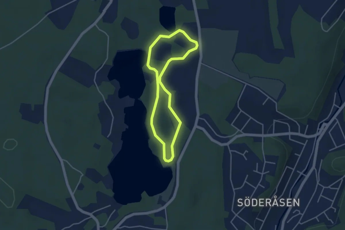
Easy · Trail
Sörgården - Eljusspåret
2.3 km · ↑ 14 m · 37 min
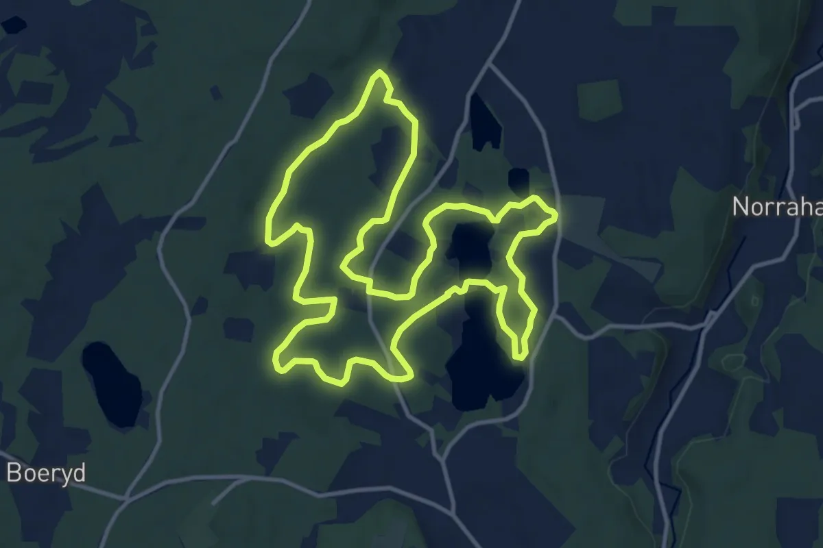
Medium · Trail
Sörgården - Gröna spåret
9.3 km · ↑ 86 m · 2 h 31 min
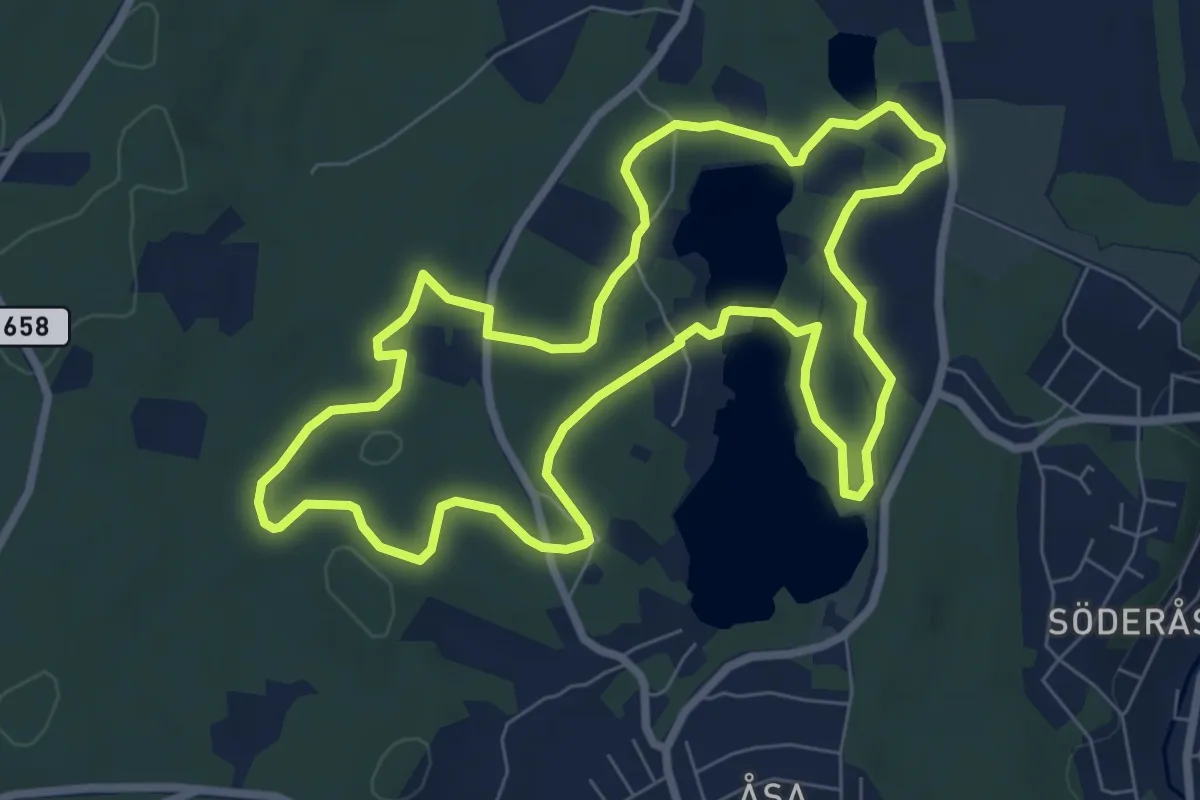
Easy · Trail
Sörgården - Gula spåret
6.2 km · ↑ 52 m · 1 h 39 min
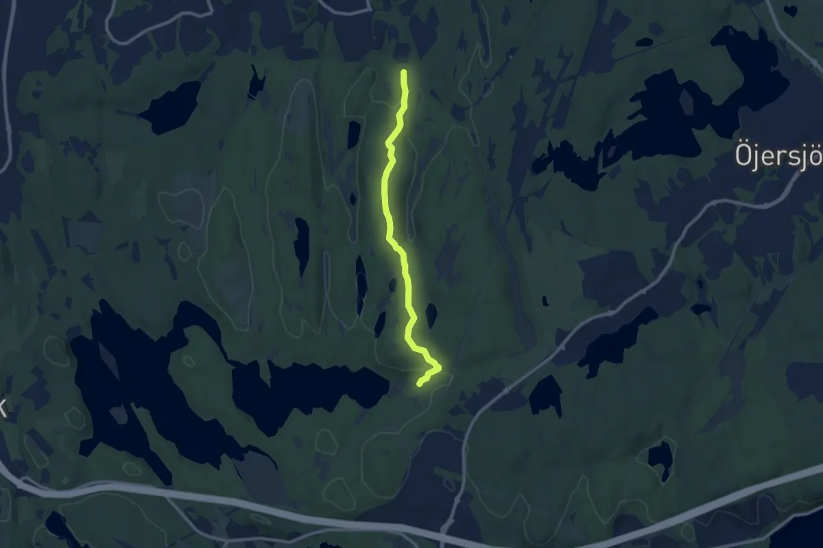
Easy · Trail
Sörlyckan - Bertilssons stuga
6.6 km · ↑ 103 m · 1 h 47 min
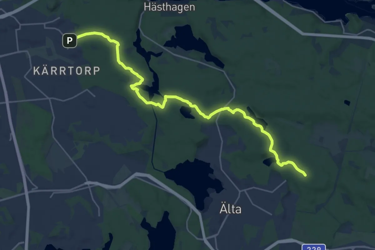
Medium · Trail
Sörmlandsleden, etapp 1
16.9 km · ↑ 175 m · 4 h 23 min
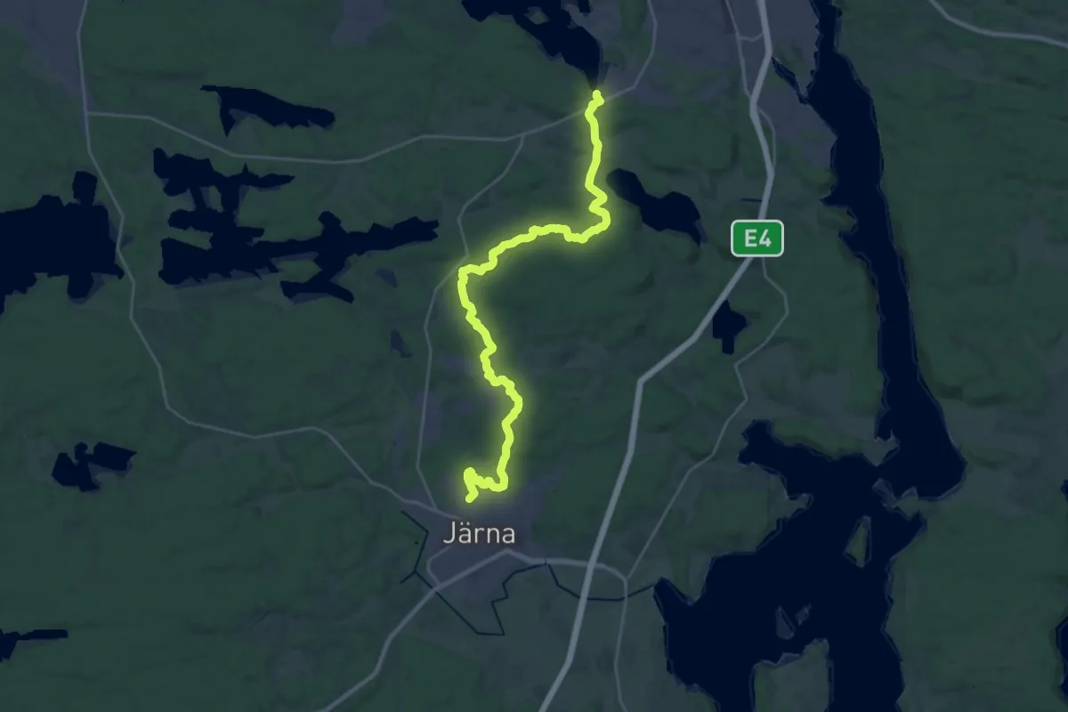
Demanding · Trail
Sörmlandsleden, etapp 10
23.2 km · ↑ 221 m · 5 h 57 min
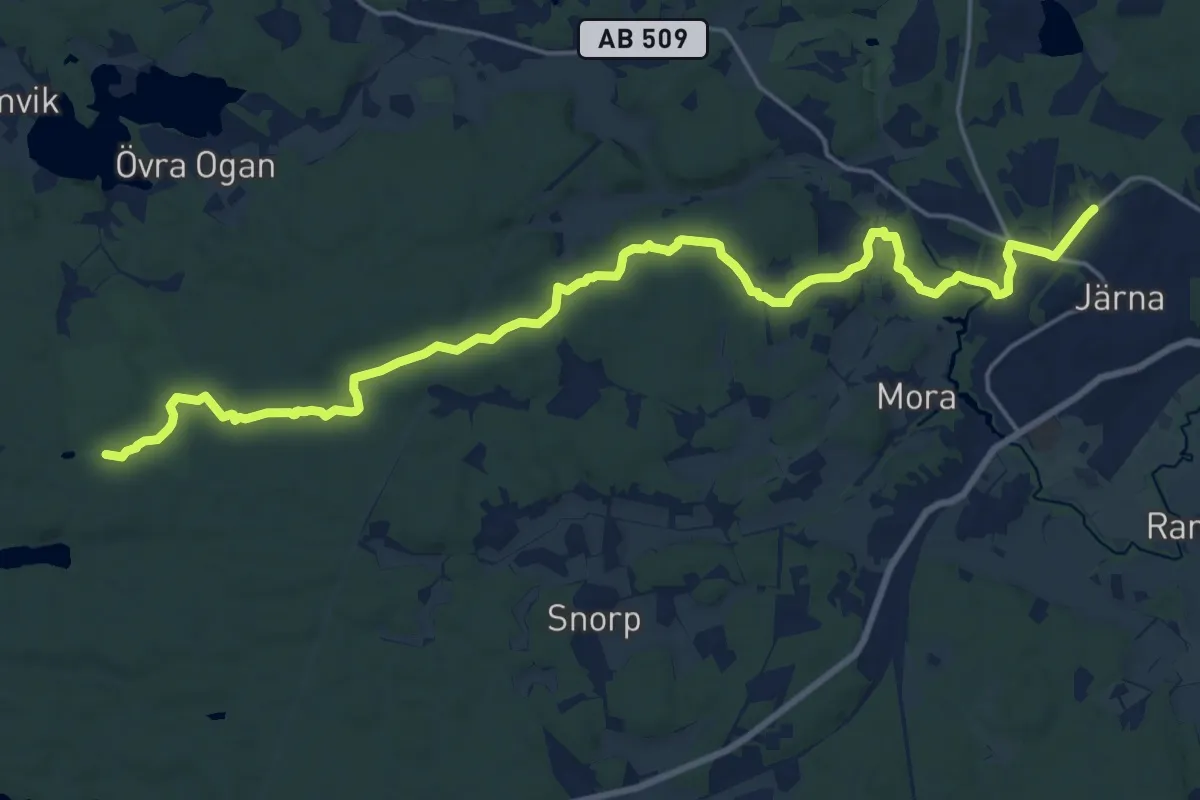
Medium · Trail
Sörmlandsleden, etapp 11
17.8 km · ↑ 136 m · 4 h 30 min
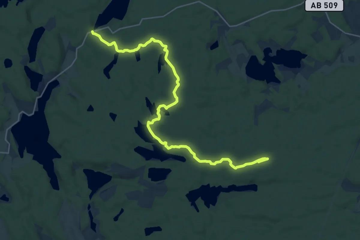
Medium · Trail
Sörmlandsleden, etapp 12
17.0 km · ↑ 108 m · 4 h 15 min
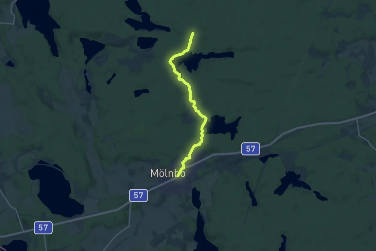
Medium · Trail
Sörmlandsleden, etapp 12:1
9.8 km · ↑ 102 m · 2 h 33 min
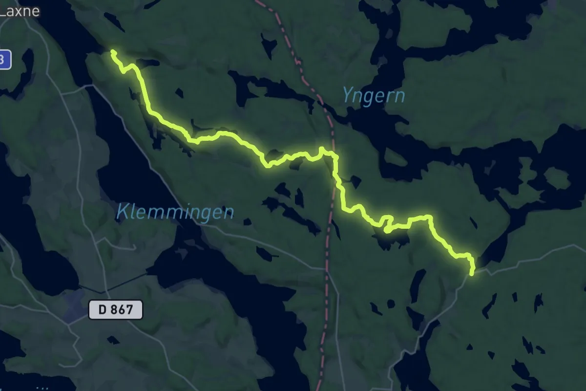
Demanding · Trail
Sörmlandsleden, etapp 13
28.8 km · ↑ 307 m · 7 h 28 min
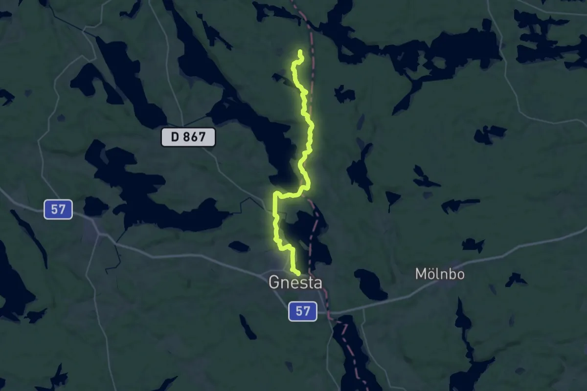
Demanding · Trail
Sörmlandsleden, etapp 13:1
26.5 km · ↑ 244 m · 6 h 48 min
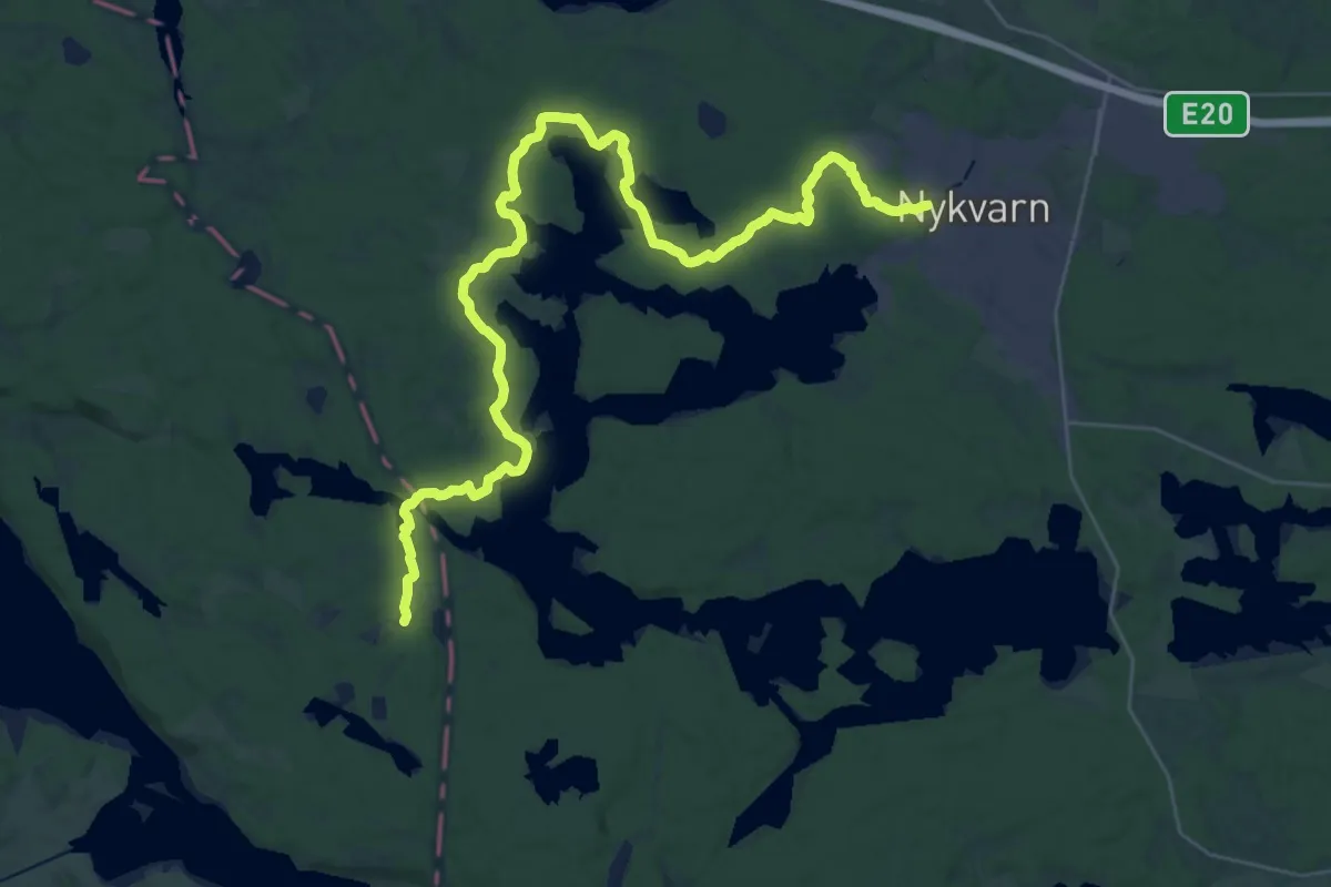
Medium · Trail
Sörmlandsleden, etapp 13:2
16.1 km · ↑ 115 m · 4 h 16 min
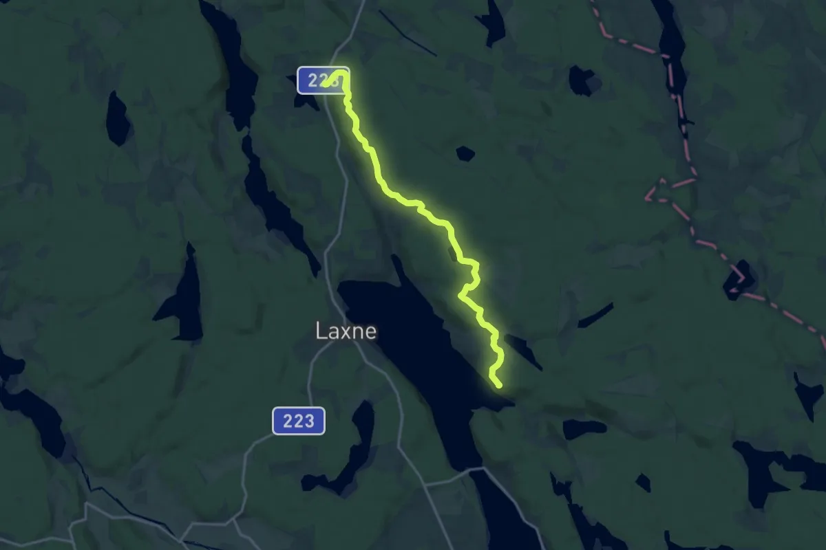
Medium · Summit
Sörmlandsleden, etapp 14
11.8 km · ↑ 143 m · 3 h 5 min
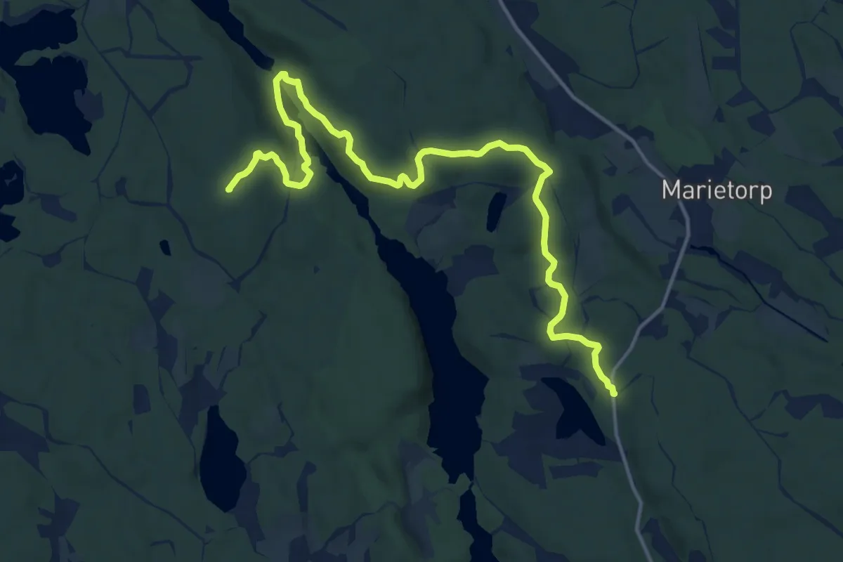
Medium · Summit
Sörmlandsleden, etapp 15
12.7 km · ↑ 280 m · 3 h 37 min
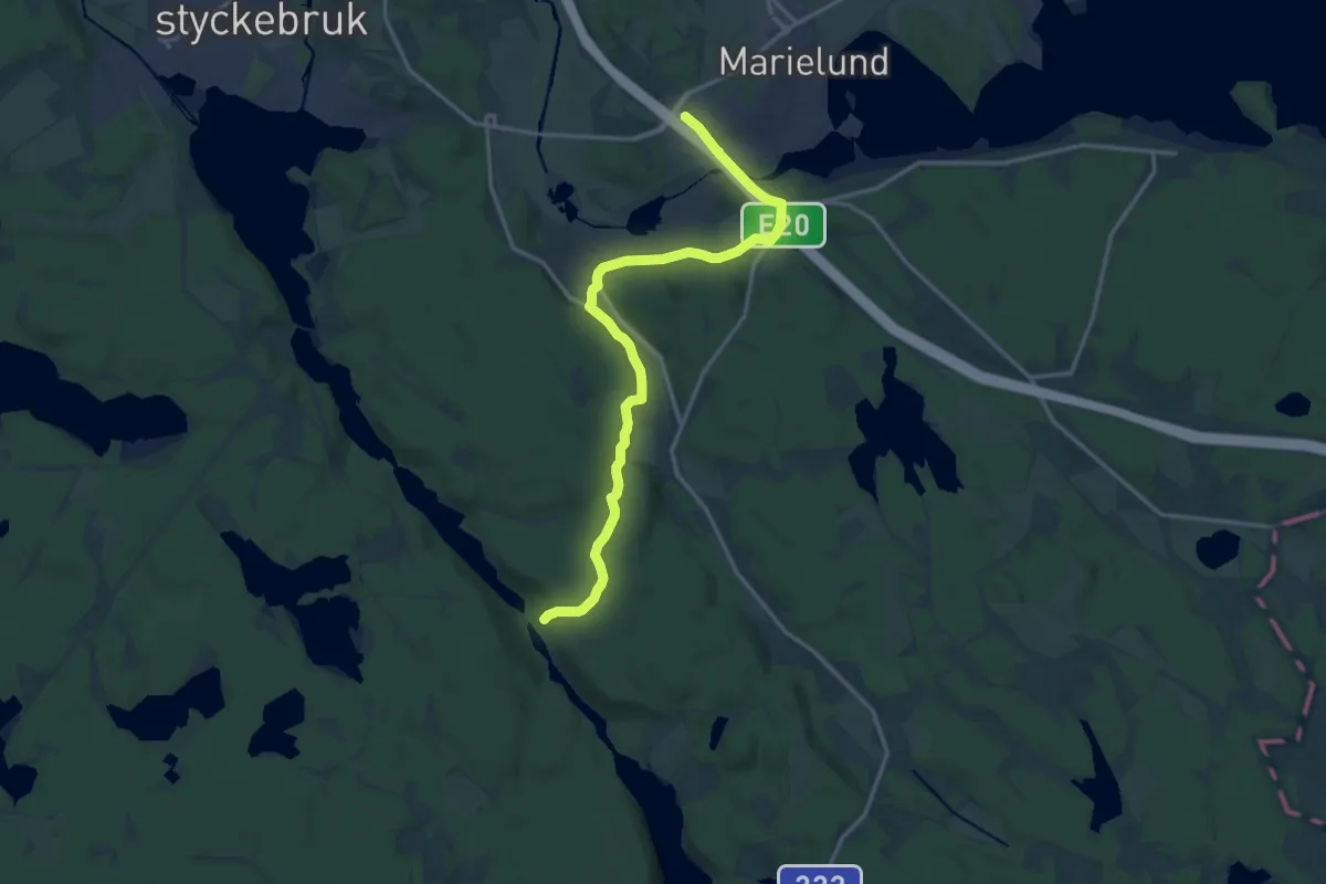
Medium · Trail
Sörmlandsleden, etapp 15:1
12.3 km · ↑ 175 m · 3 h 17 min
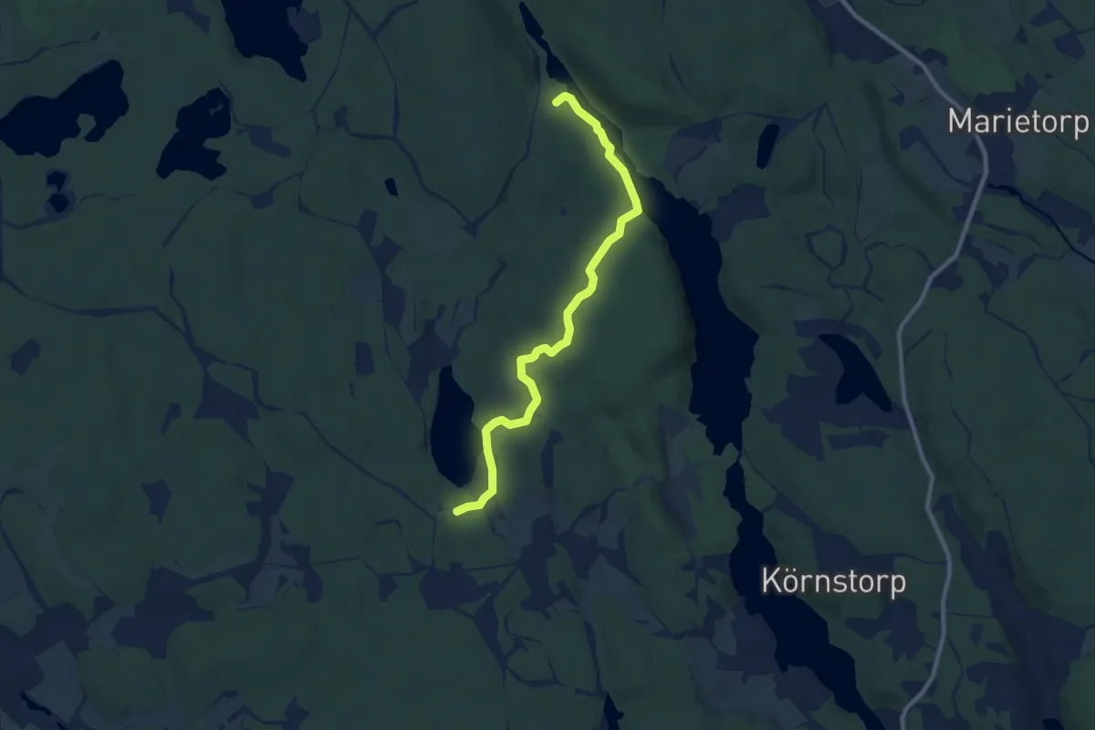
Easy · Trail
Sörmlandsleden, etapp 15:2
7.1 km · ↑ 127 m · 1 h 57 min
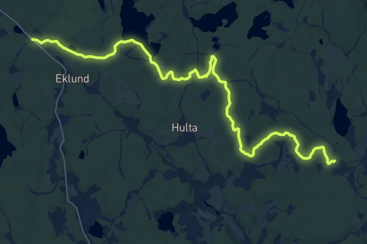
Demanding · Trail
Sörmlandsleden, etapp 16
19.6 km · ↑ 128 m · 4 h 54 min
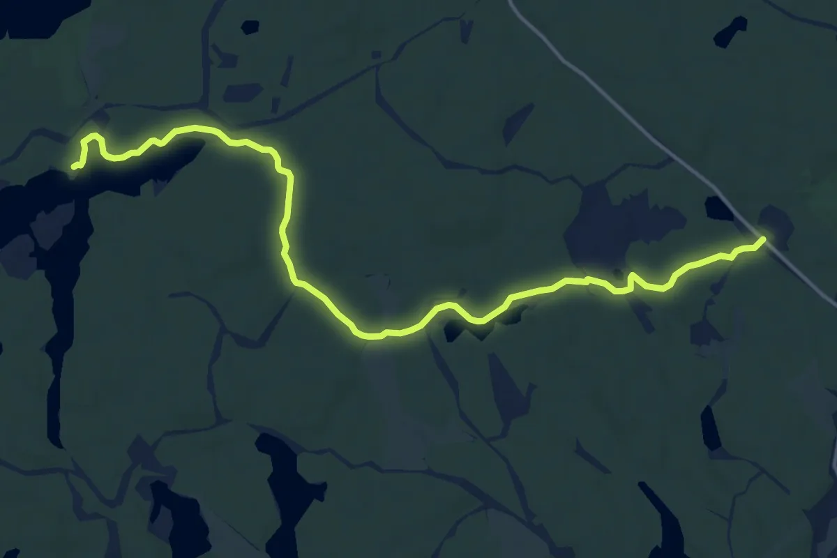
Medium · Trail
Sörmlandsleden, etapp 17
11.6 km · ↑ 44 m · 2 h 51 min