Trails in Sweden
3,247 hiking trails, each with its route, climb, walking time and grade.
All trails, page 54 of 68
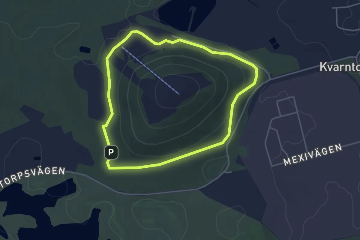
Easy · Trail
Spåret runt Kvarntorpshögen - 2.6 km
2.6 km · ↑ 32 m · 43 min
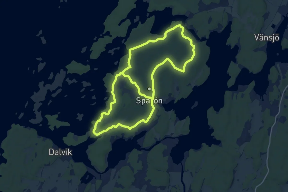
Demanding · Trail
Spårön vandringsled
22.8 km · ↑ 107 m · 5 h 37 min
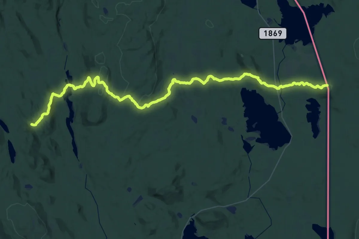
Demanding · Trail
Spikern
23.4 km · ↑ 614 m · 7 h 14 min
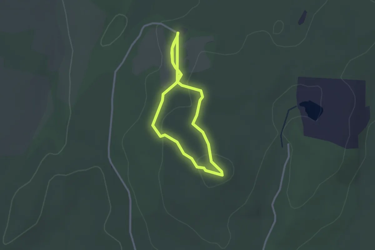
Easy · Trail
Sporrakullastigen
3.8 km · ↑ 73 m · 1 h 3 min
Easy · Trail
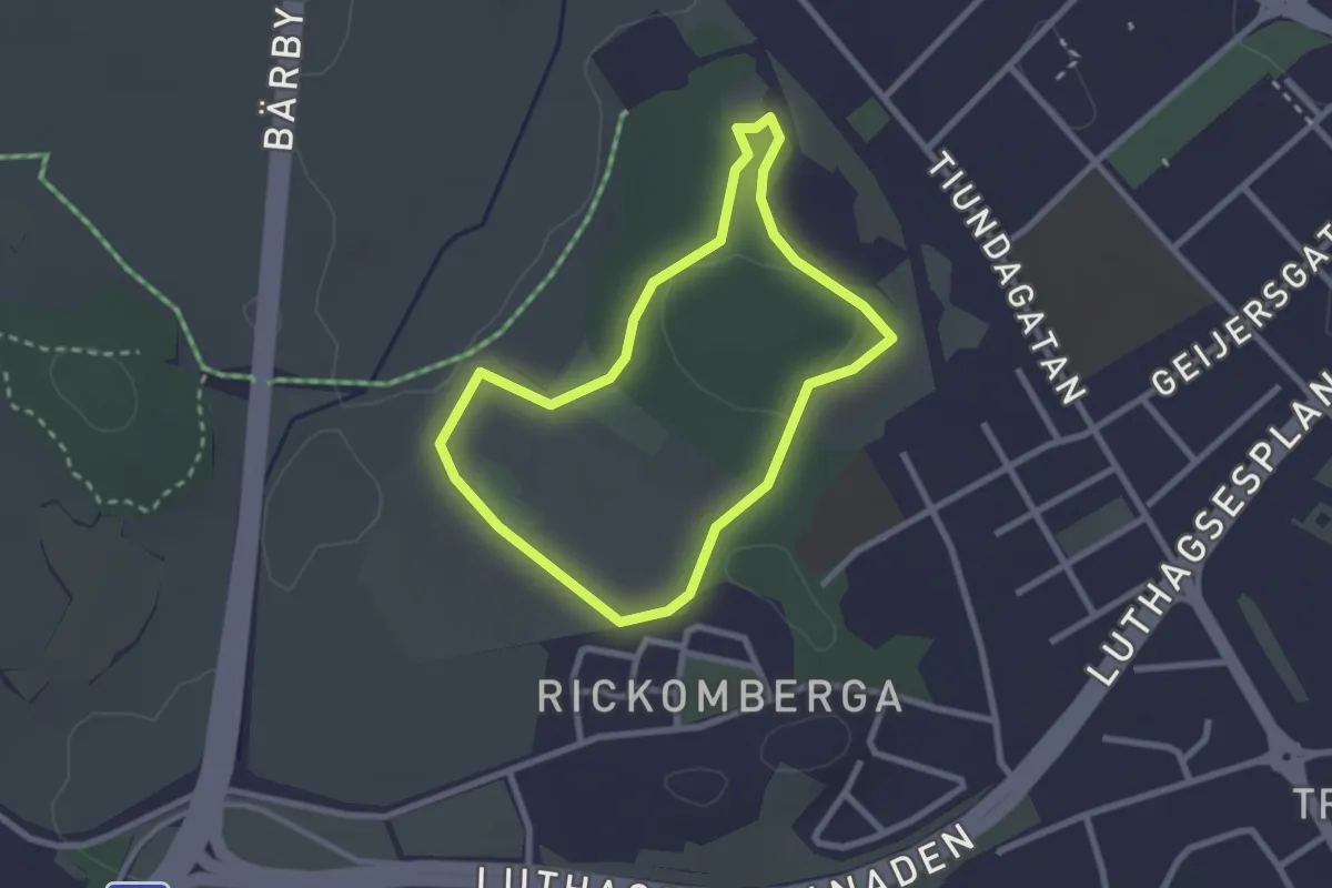
Stabby elljusspår
1.7 km · ↑ 19 m · 28 min
Easy · Trail
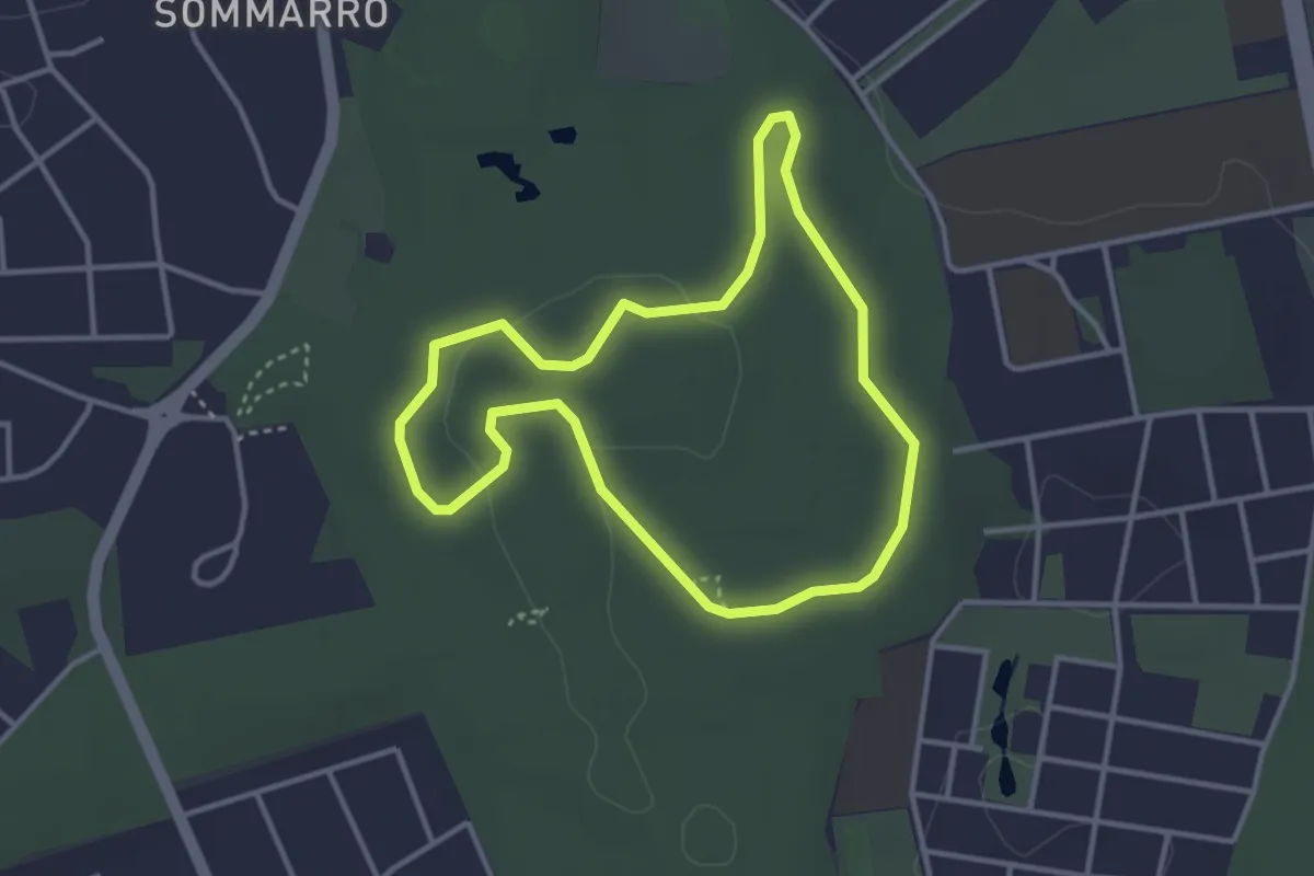
Stadsskogens elljusspår
2.4 km · ↑ 12 m · 37 min
Medium · Trail
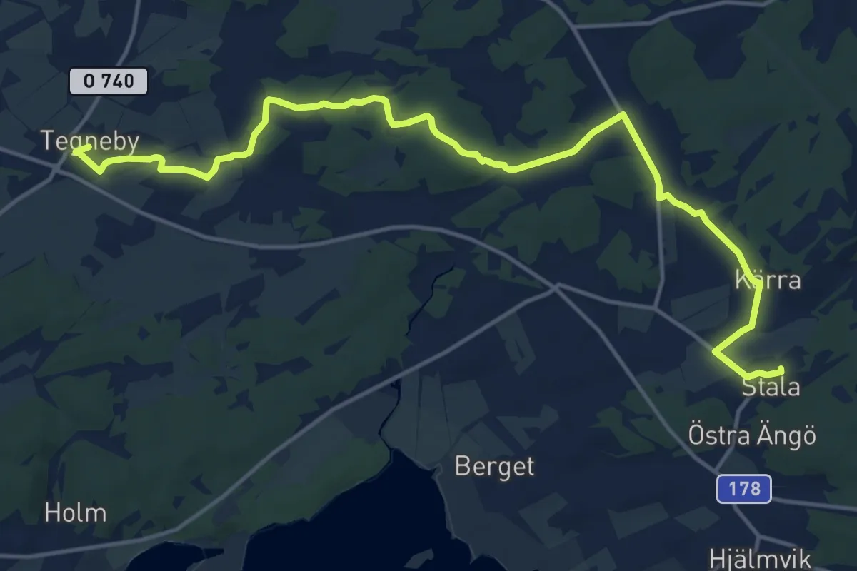
Stala kyrka – Tegneby kyrka
13.4 km · ↑ 100 m · 3 h 23 min
Easy · Trail
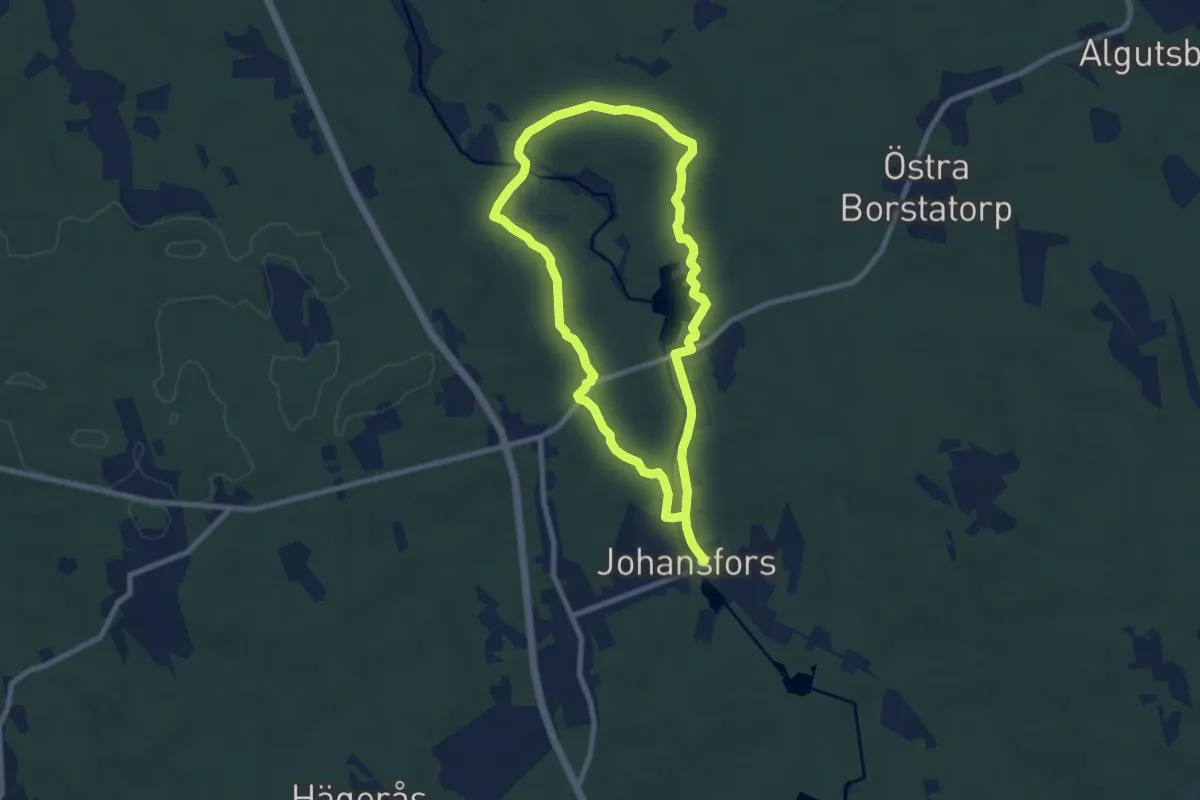
Stampaleden
6.4 km · ↑ 25 m · 1 h 40 min
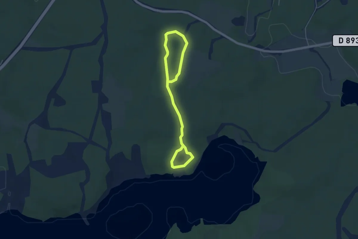
Easy · Trail
Stampmossen och Magsjötorp vandringsslinga
4.5 km · ↑ 38 m · 1 h 9 min
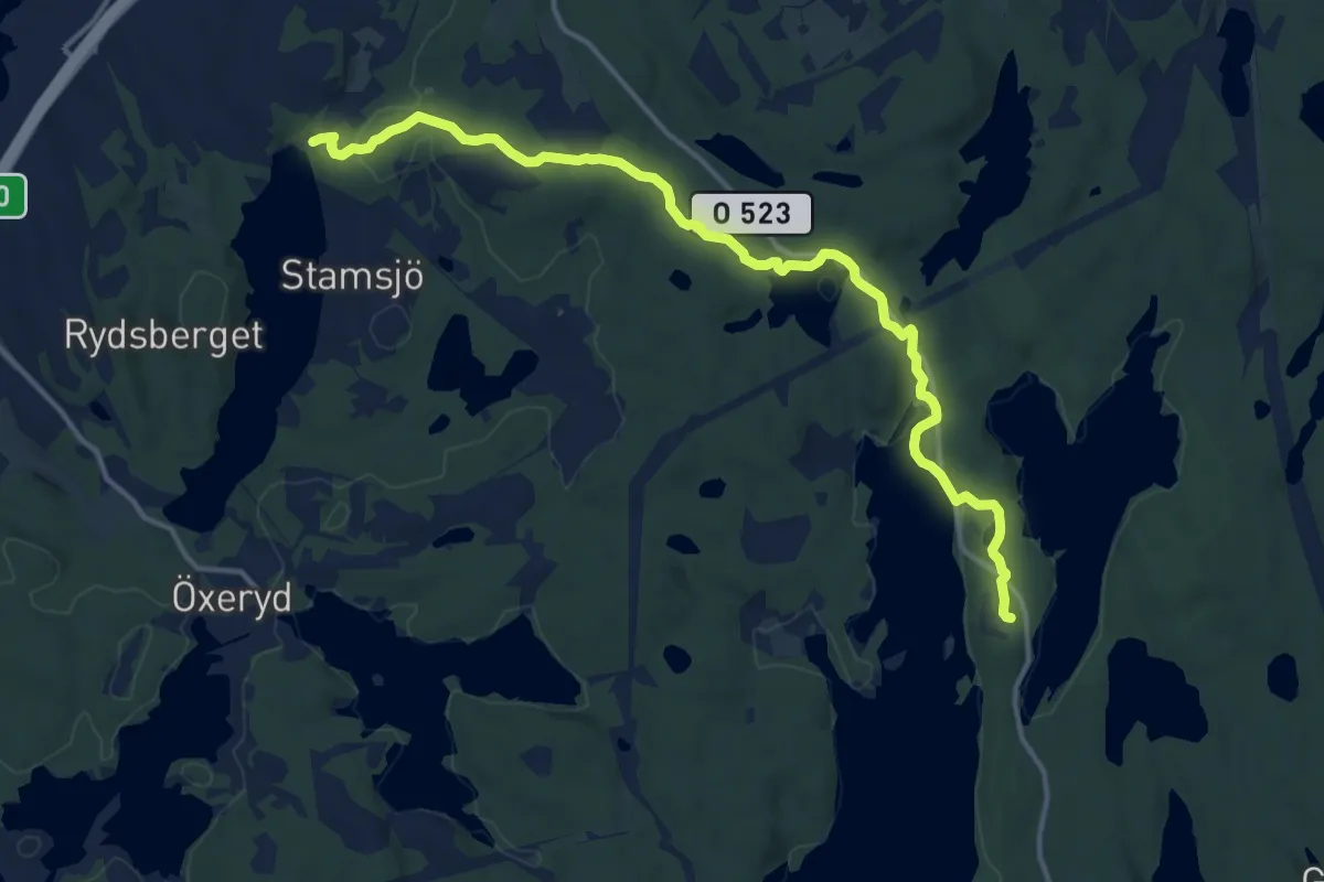
Medium · Trail
Stamsjöleden
12.1 km · ↑ 176 m · 3 h 14 min
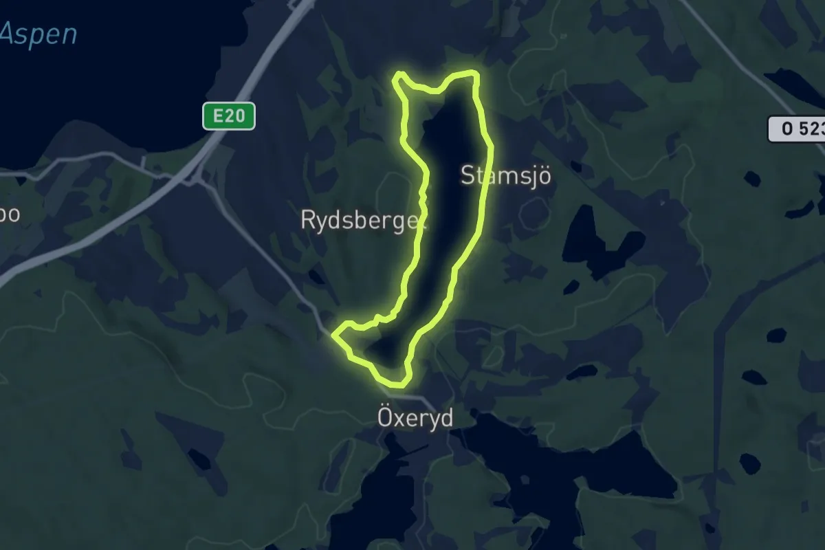
Easy · Trail
Stamsjöspåret
6.0 km · ↑ 81 m · 1 h 41 min
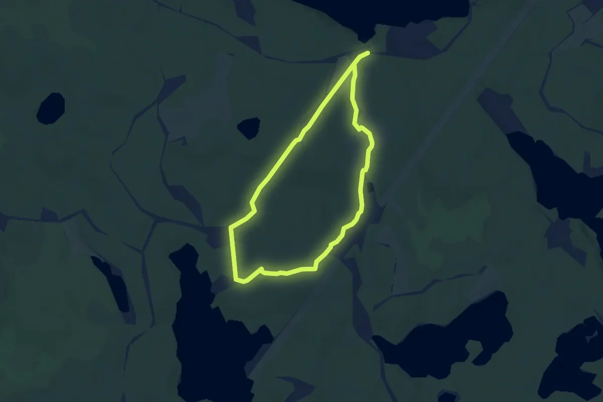
Easy · Trail
Stånggångsleden
4.0 km · ↑ 31 m · 1 h 4 min
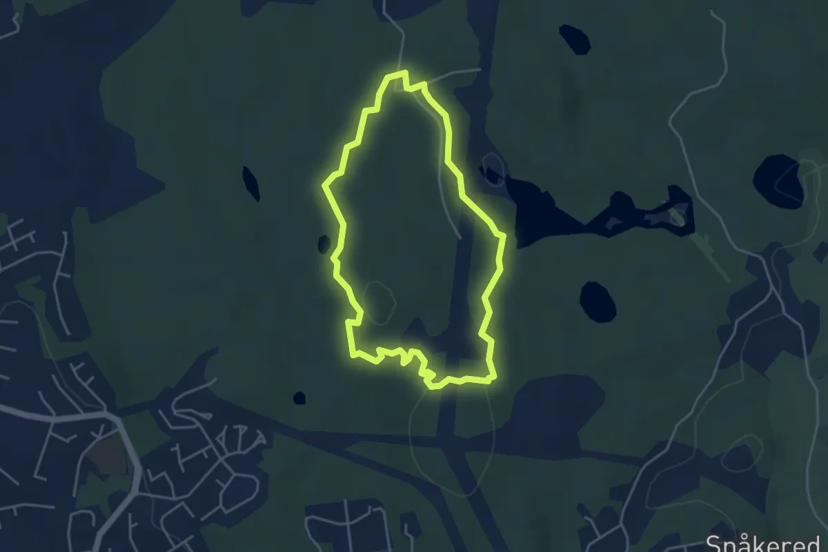
Easy · Trail
Startslingan
3.0 km · ↑ 33 m · 50 min
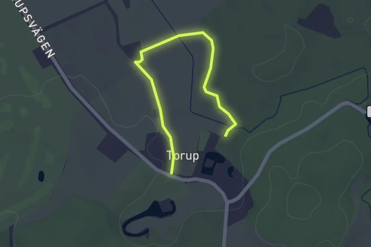
Easy · Trail
Statarspåret
3.1 km · ↑ 13 m · 45 min
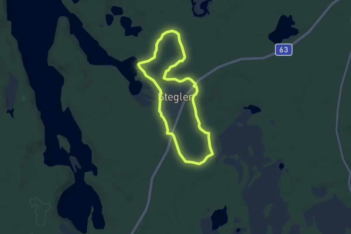
Easy · Trail
Stegelmosslingan
5.2 km · ↑ 31 m · 1 h 23 min
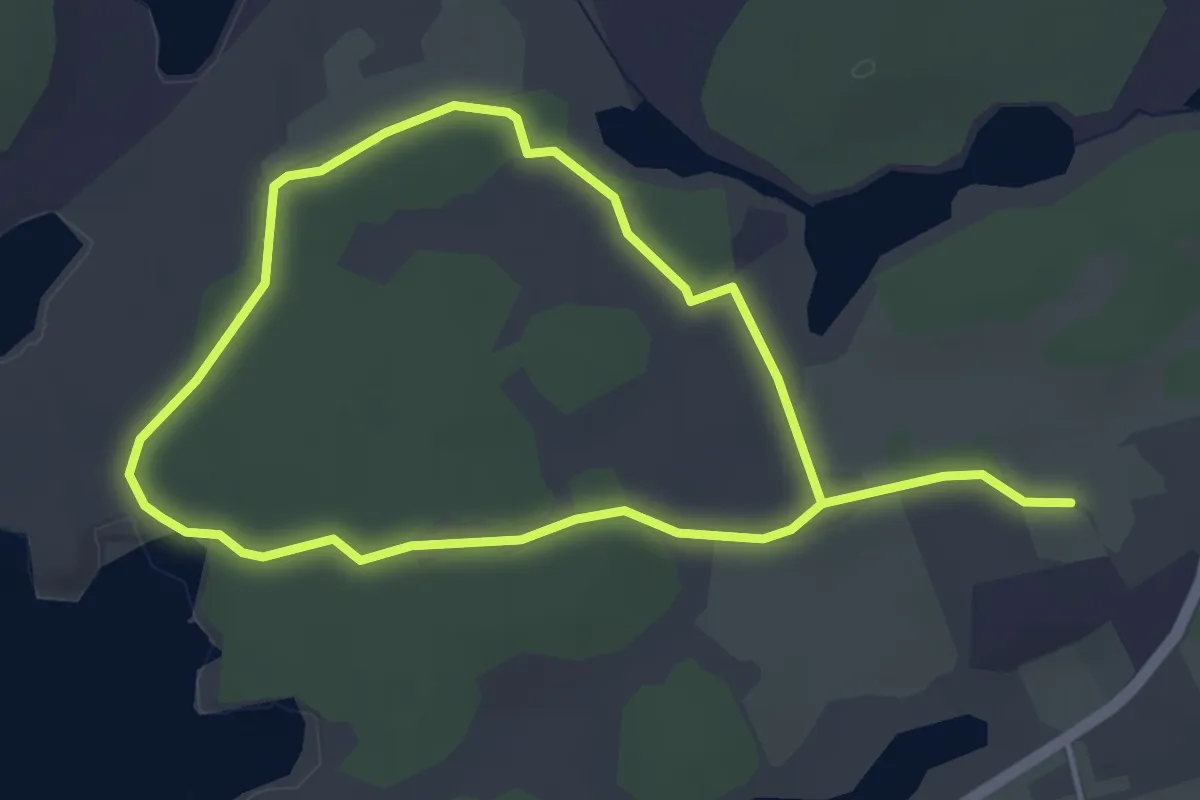
Easy · Trail
Stegsholmsrundan
5.6 km · ↑ 8 m · 1 h 21 min
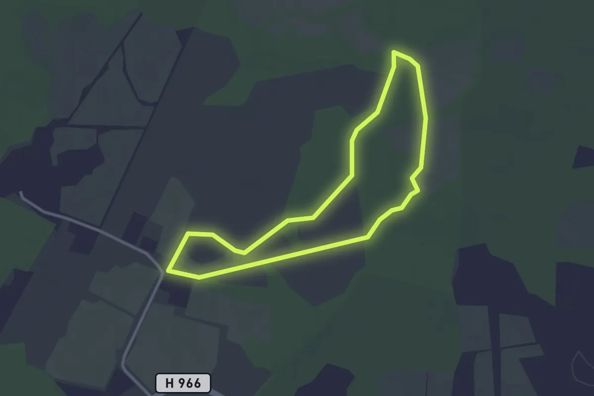
Easy · Trail
Stenängsåkersleden
2.3 km · ↑ 0 m · 34 min
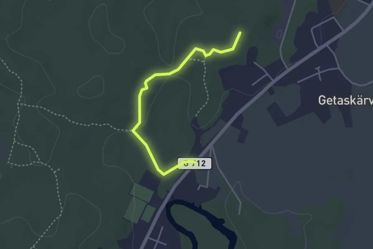
Easy · Trail
Stenbandetspåret
2.7 km · ↑ 27 m · 41 min
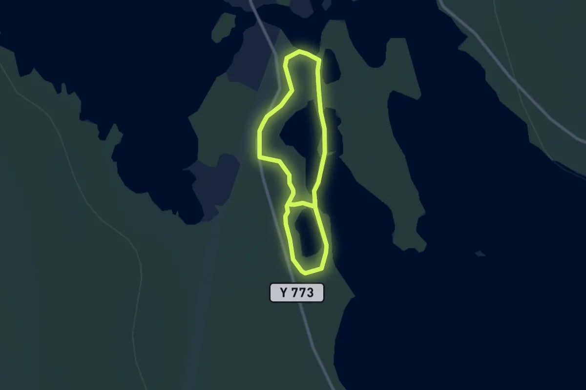
Medium · Trail
Stenbergsleden
7.9 km · ↑ 498 m · 2 h 56 min
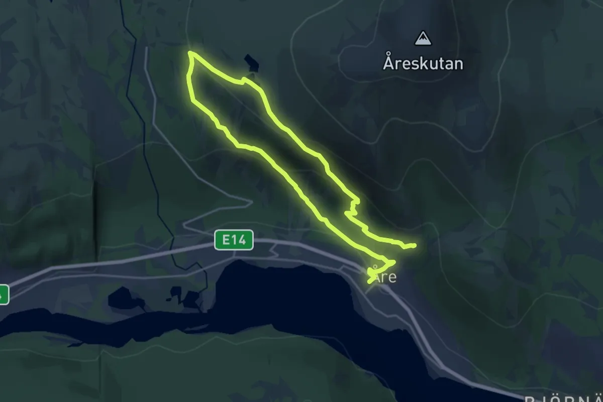
Demanding · Trail
Stendalsrundan
9.9 km · ↑ 1111 m · 4 h 46 min
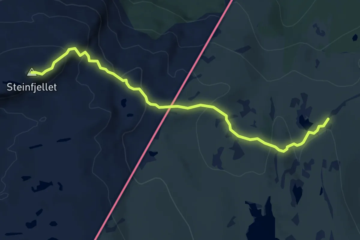
Easy · Summit
Stenfjället
5.7 km · ↑ 290 m · 1 h 58 min
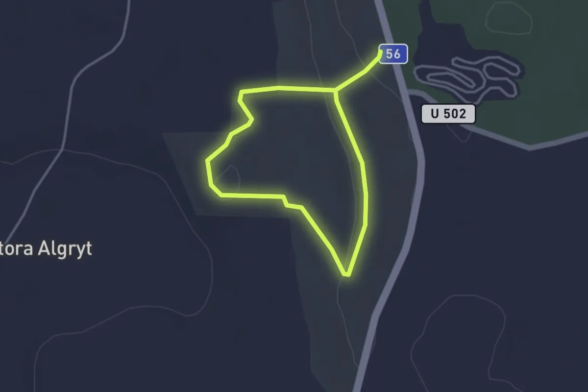
Easy · Trail
Stengärdet vandringsslinga
3.7 km · ↑ 27 m · 56 min
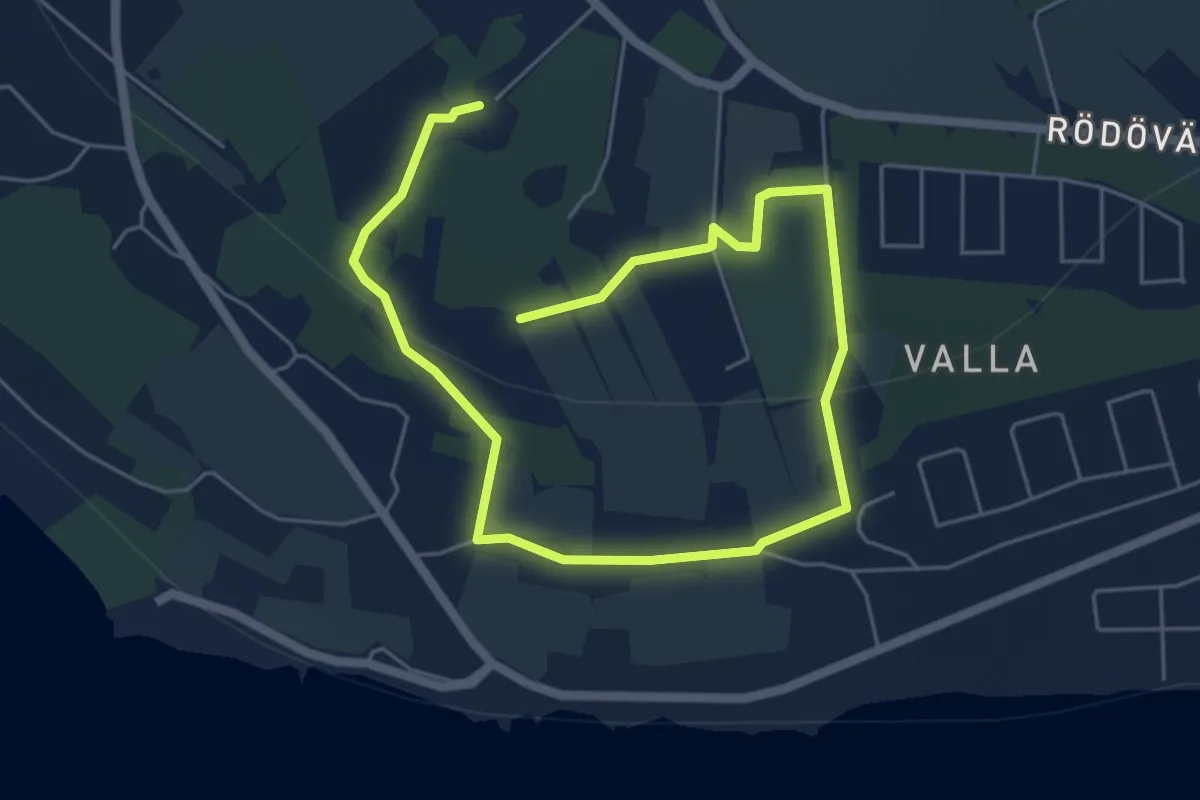
Easy · Trail
Stengårdsstigen
5.6 km · ↑ 305 m · 1 h 59 min
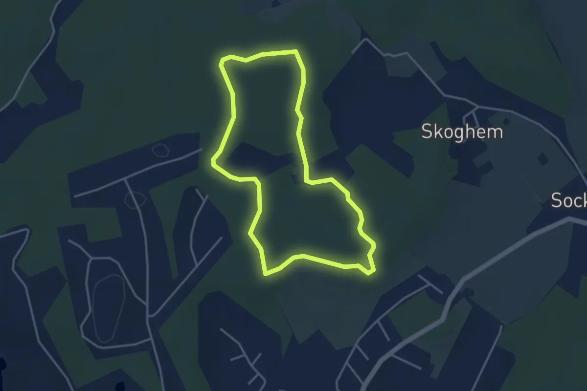
Easy · Trail
Stenhamra elljusspår 2.5 km
2.5 km · ↑ 8 m · 38 min
Easy · Trail
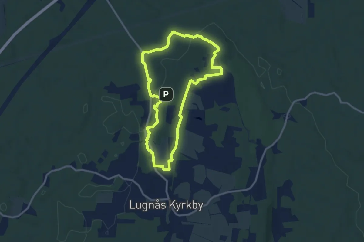
Stenhuggarstigen
5.6 km · ↑ 74 m · 1 h 34 min
Medium · Trail
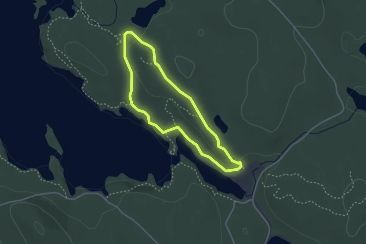
Stenkällerundan
2.0 km · ↑ 26 m · 33 min
Medium · Trail
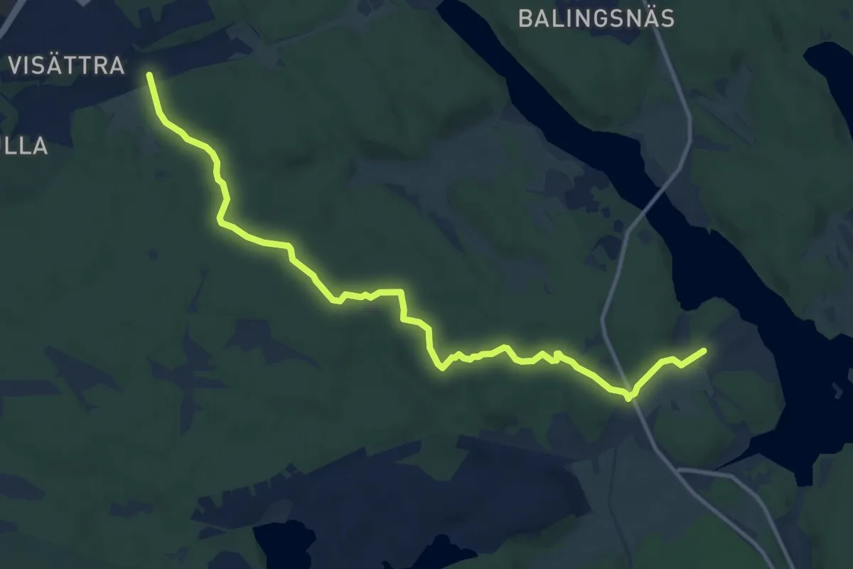
Stensbergsleden
9.7 km · ↑ 79 m · 2 h 27 min
Medium · Cabin
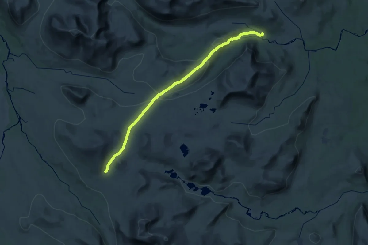
Stensdalen - Gåsen sommarled
14.3 km · ↑ 161 m · 4 h 6 min
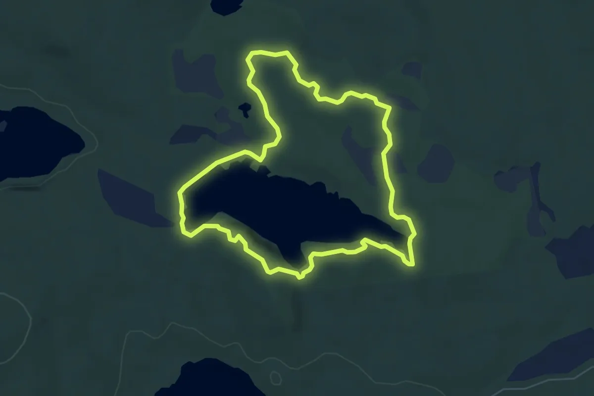
Easy · Trail
Stensjön
4.6 km · ↑ 39 m · 1 h 15 min
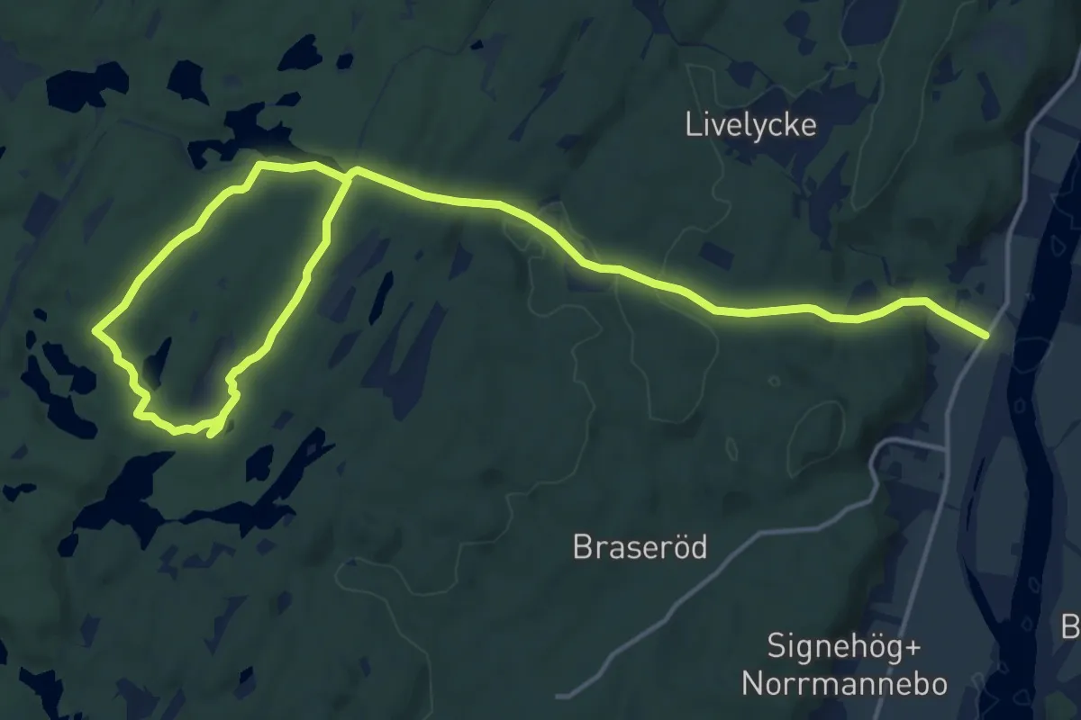
Medium · Trail
Stenstugan Blå
16.9 km · ↑ 269 m · 4 h 35 min
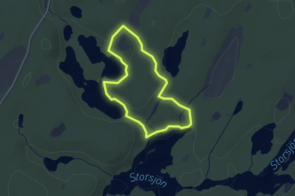
Easy · Trail
Stenstugan Grön
2.3 km · ↑ 27 m · 38 min
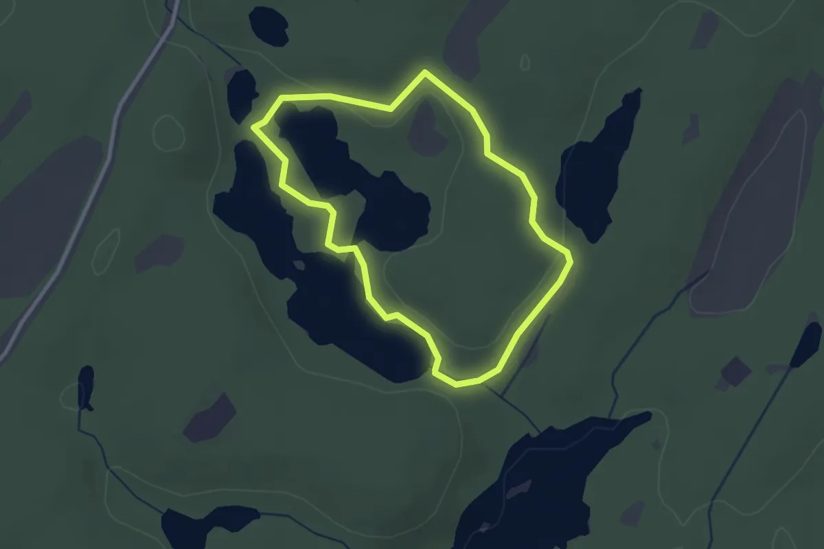
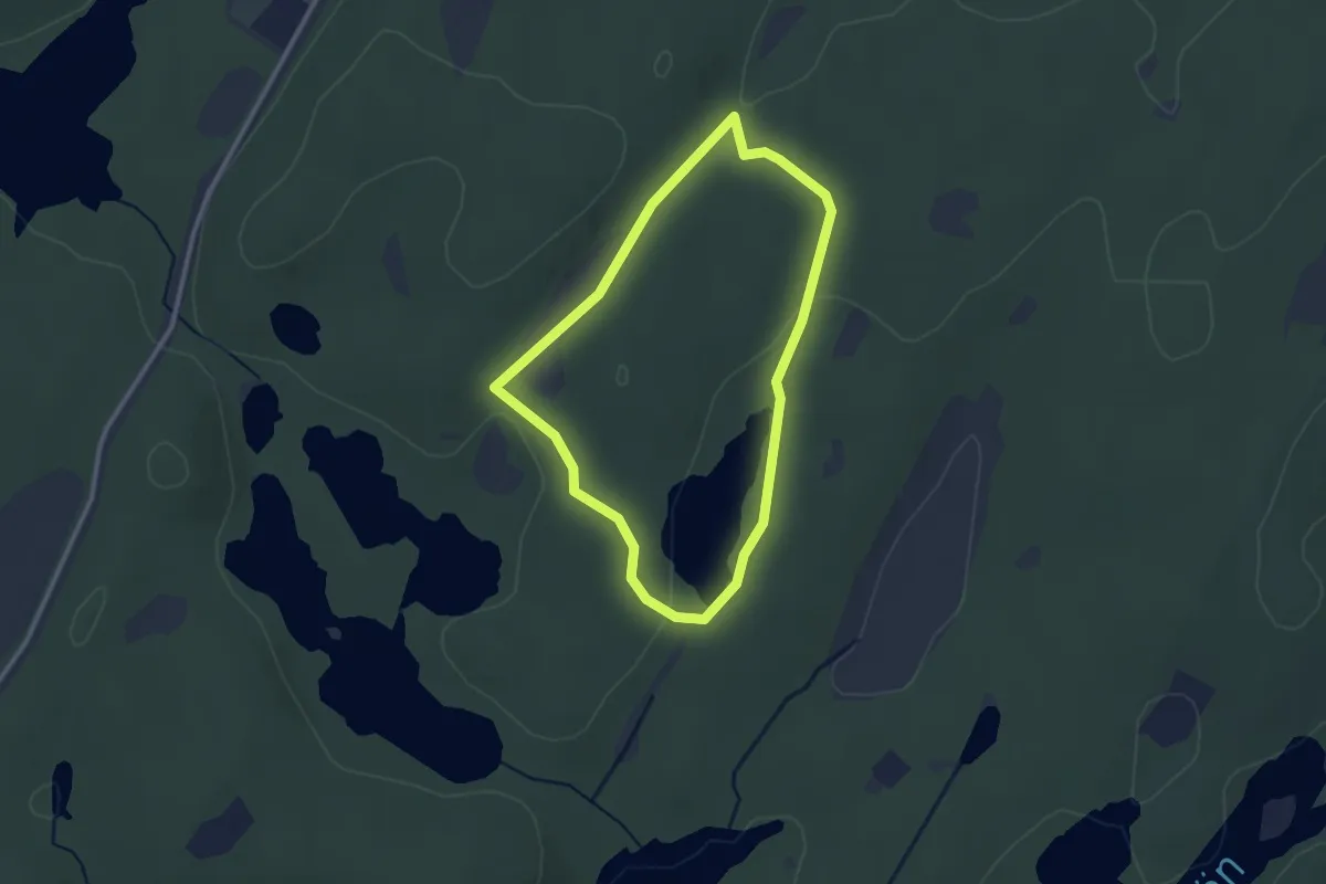
Easy · Trail
Stenstugan Gul
1.9 km · ↑ 13 m · 31 min
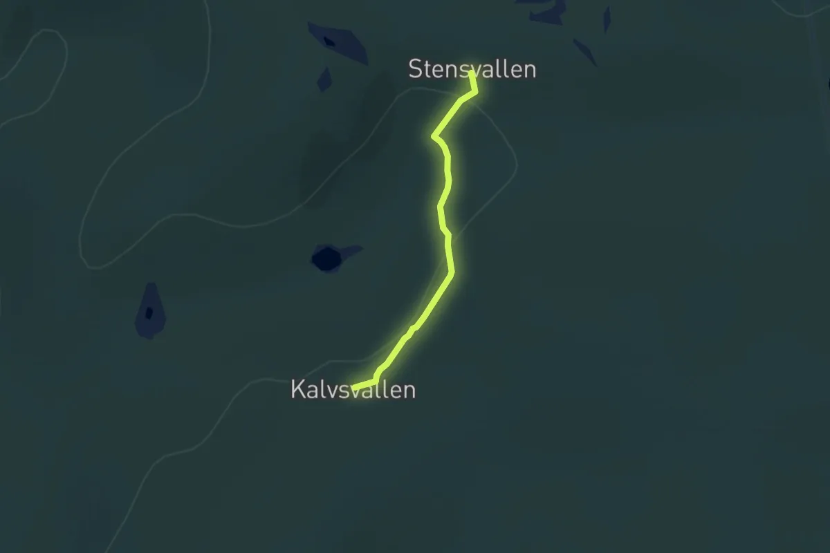
Easy · Trail
Stenstugan Röd
1.9 km · ↑ 17 m · 31 min
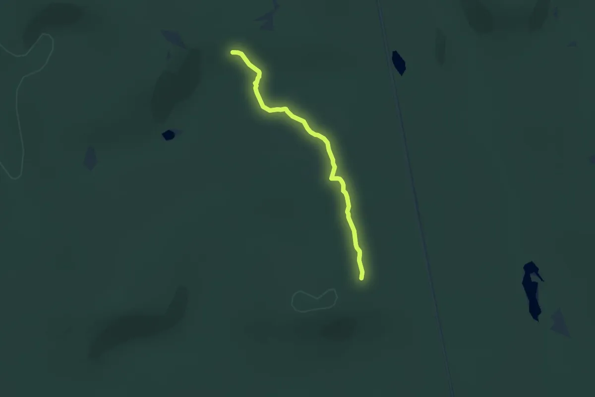
Easy · Trail
Stensvallen-Kalvsvallen 2.6km
5.1 km · ↑ 176 m · 1 h 35 min
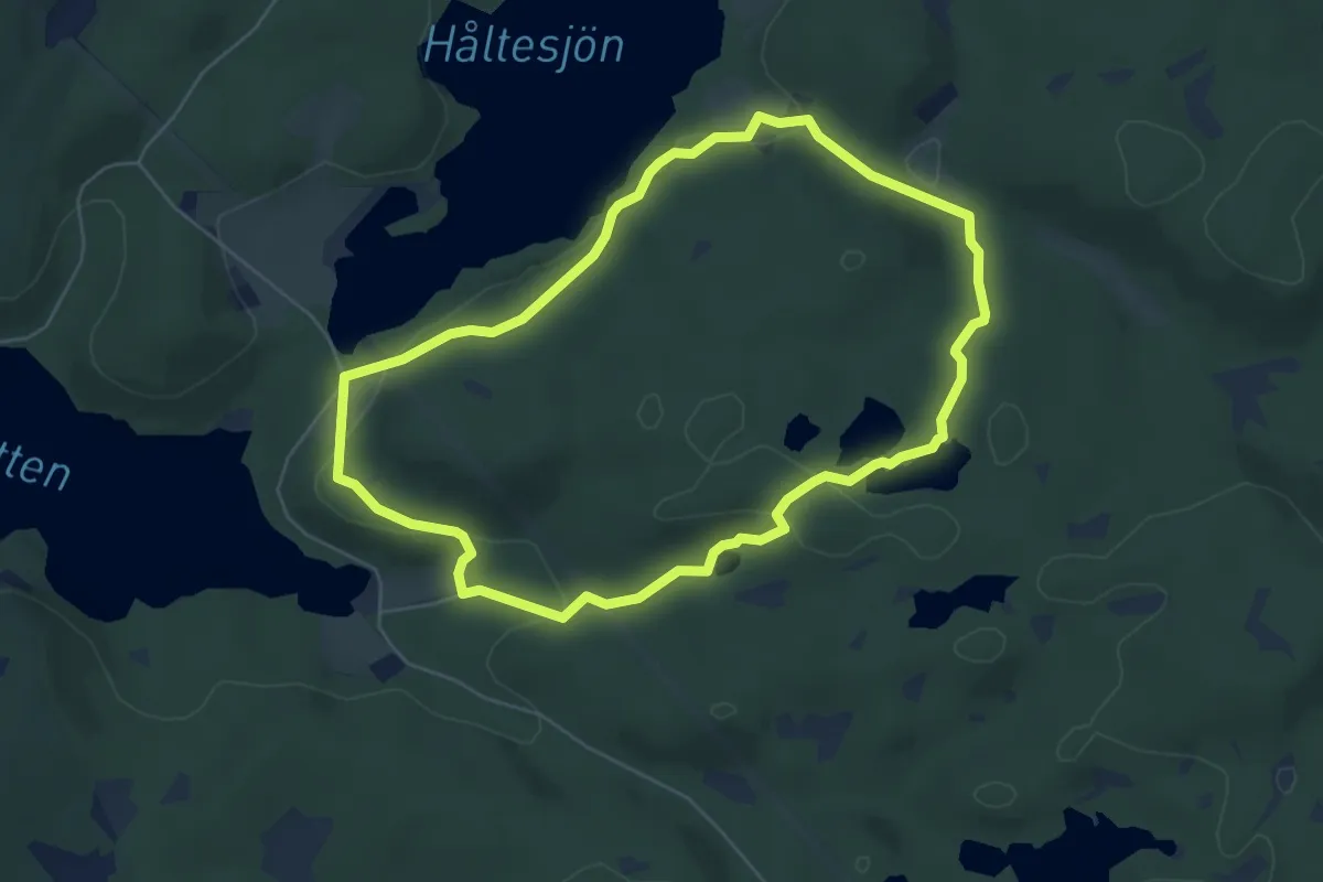
Medium · Trail
Stensvallen-Pervallen 4.6km
9.1 km · ↑ 225 m · 2 h 39 min
Easy · Trail
Stenugnsleden
4.4 km · ↑ 96 m · 1 h 18 min
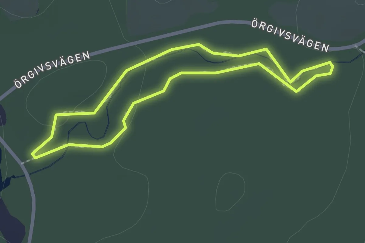
Easy · Trail
STF-slingan
1.4 km · ↑ 13 m · 23 min
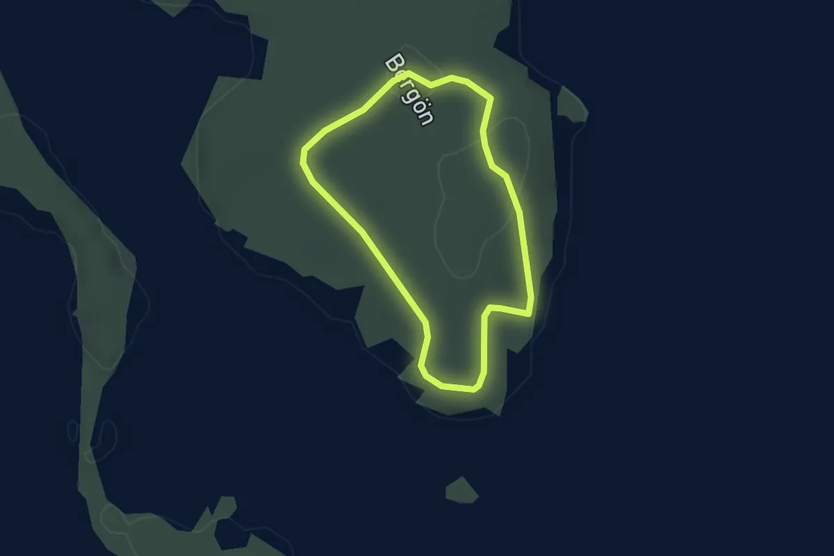
Easy · Trail
Stig
1.8 km · ↑ 25 m · 30 min
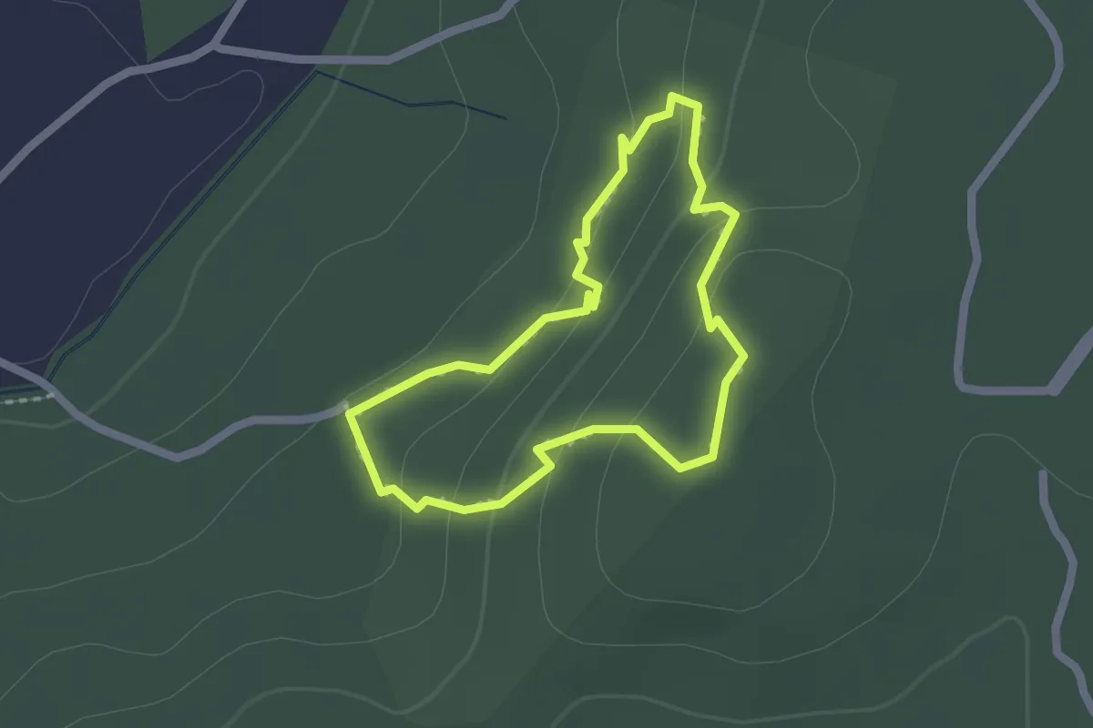
Easy · Trail
Stigen runt Svarta Klippan
1.4 km · ↑ 60 m · 28 min
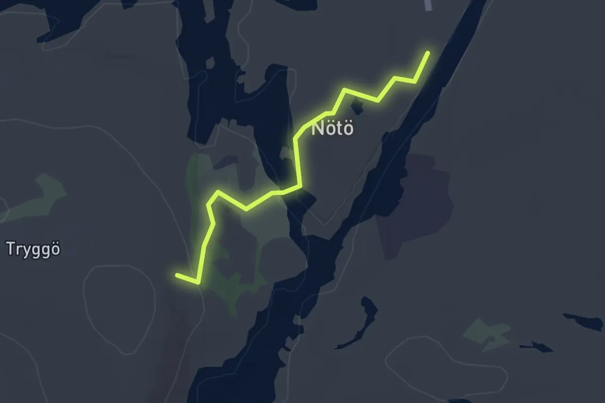
Easy · Trail
Stig grön
2.1 km · ↑ 37 m · 35 min
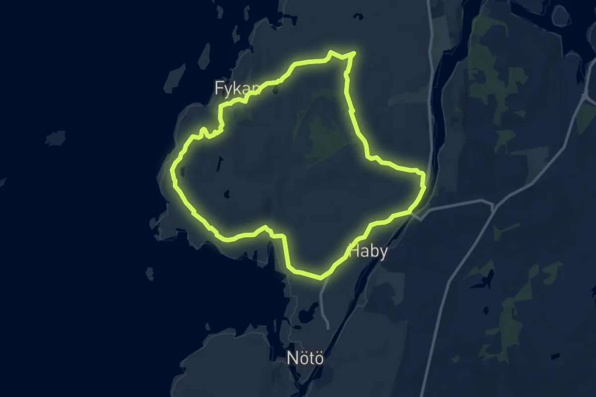
Expert · Summit
Stig -gul slinga
8.0 km · ↑ 91 m · 2 h 12 min
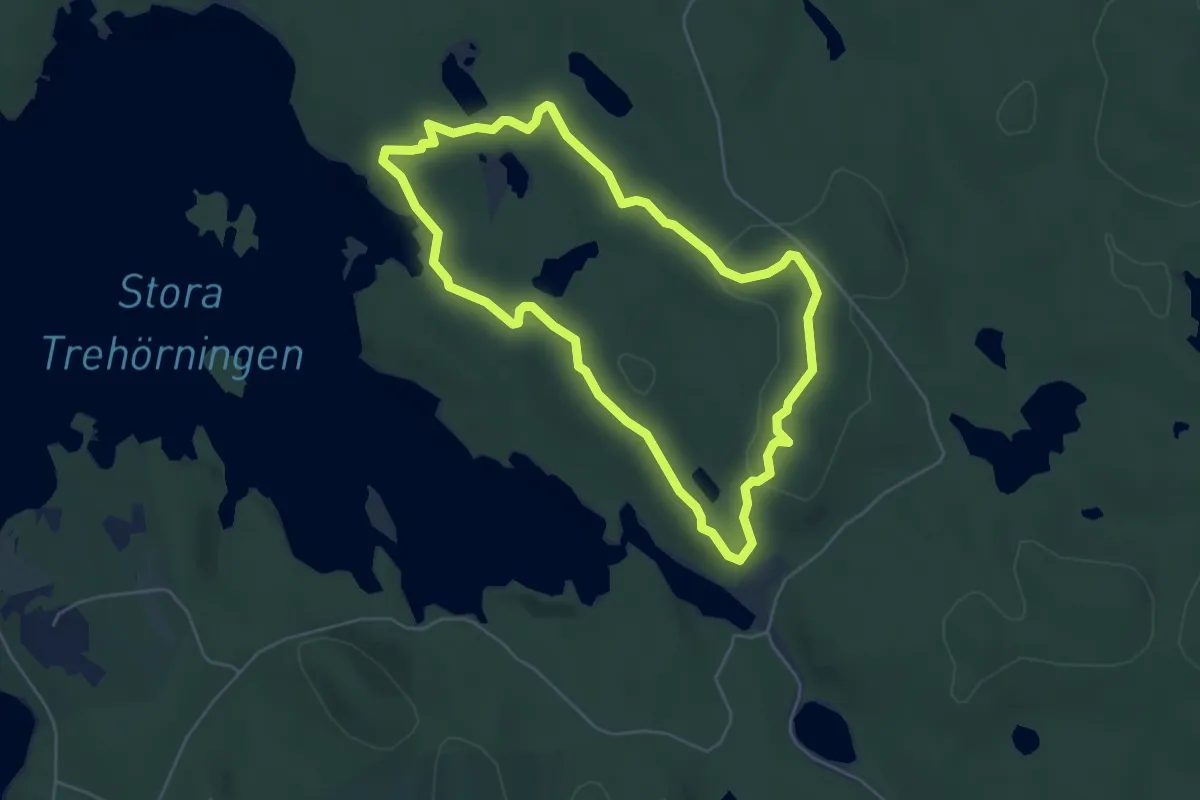
Medium · Trail
Stigmansrundan
3.9 km · ↑ 53 m · 1 h 5 min
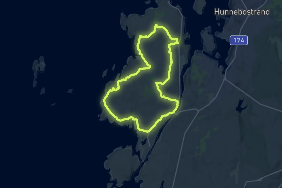
Expert · Summit
Stig -orange slinga
12.2 km · ↑ 120 m · 3 h 19 min
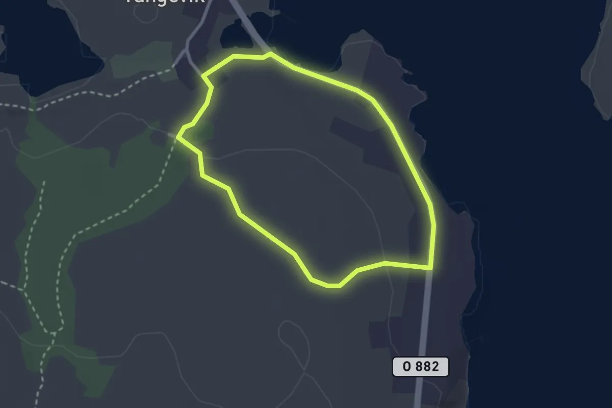
Easy · Trail
Stig -röd slinga
1.8 km · ↑ 24 m · 30 min
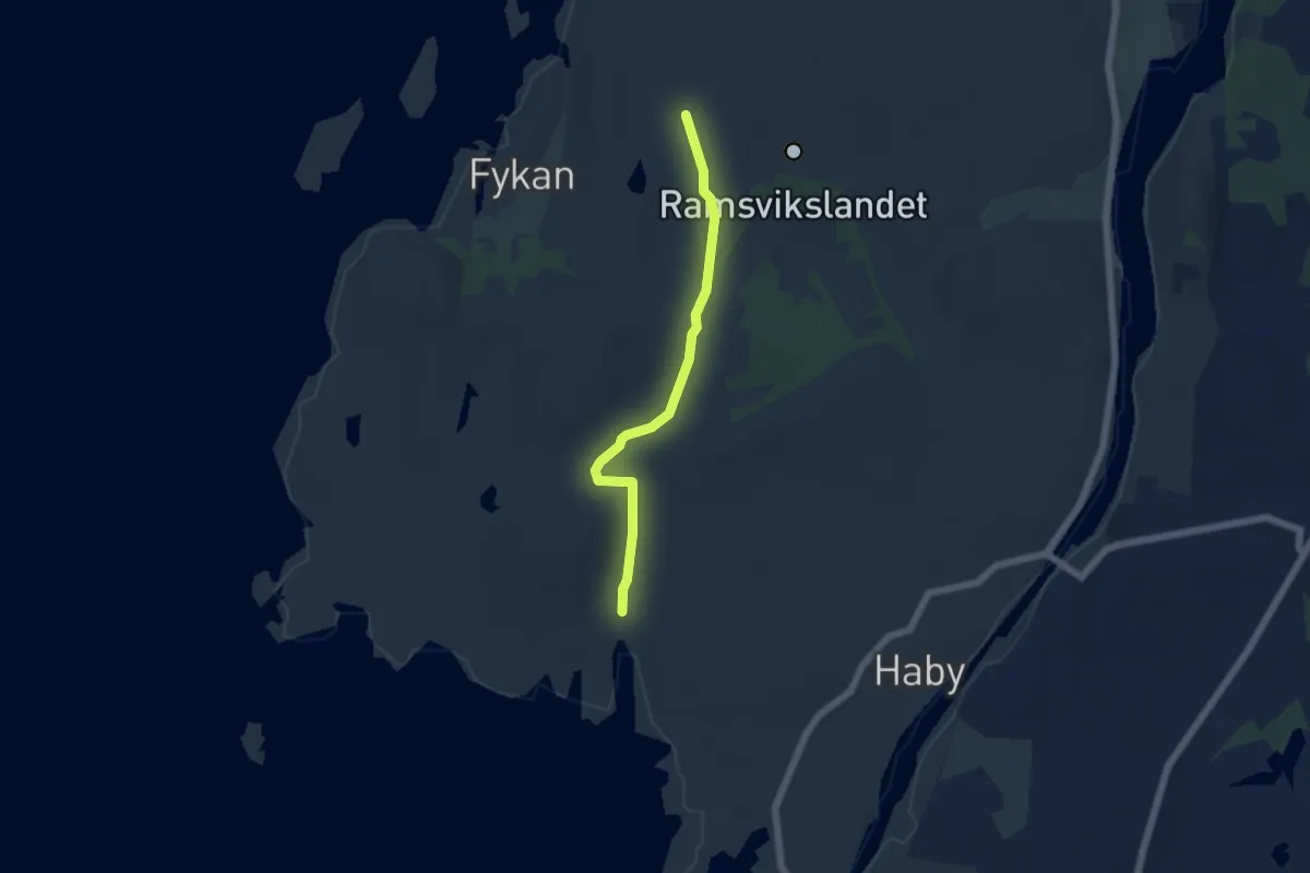
Easy · Trail
Stig svart
3.7 km · ↑ 51 m · 59 min
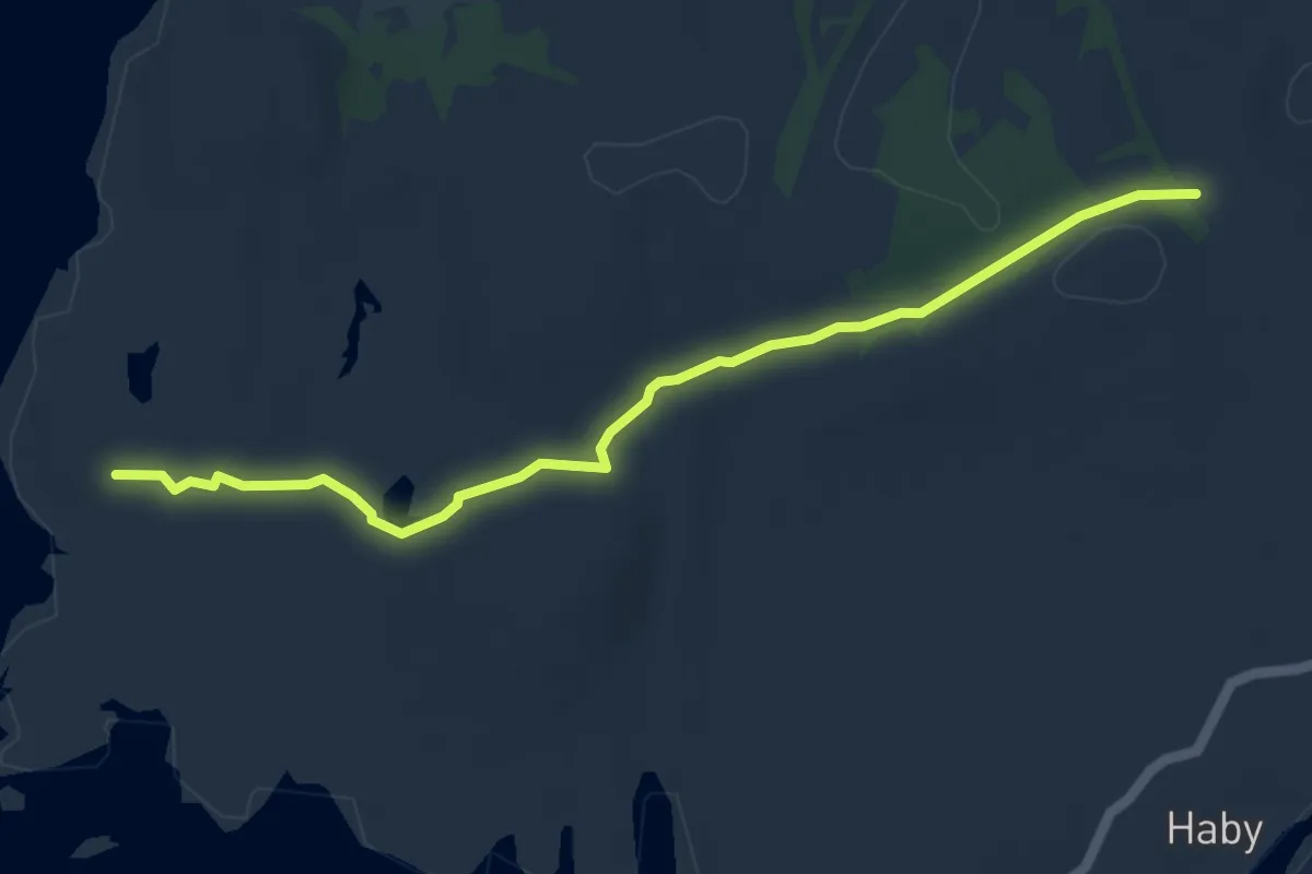
Easy · Trail
Stig vit
4.2 km · ↑ 56 m · 1 h 6 min
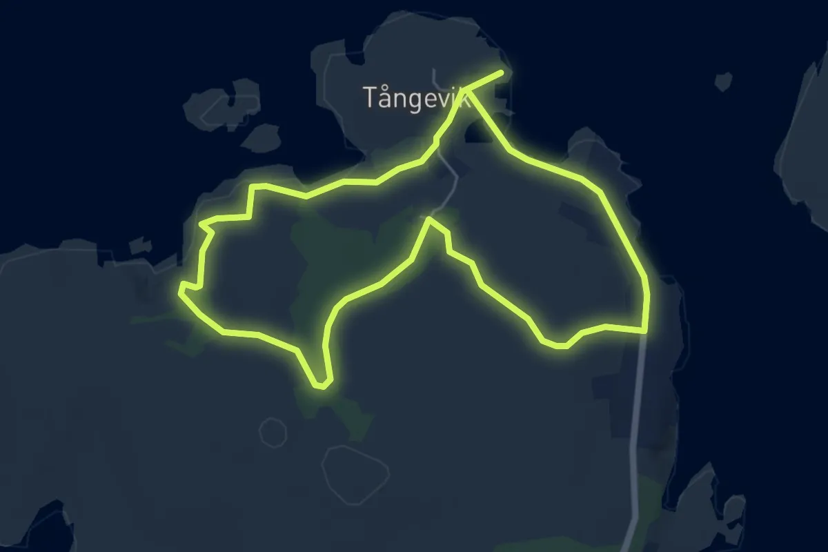
Easy · Trail
Stig -vit slinga
4.0 km · ↑ 47 m · 1 h 7 min
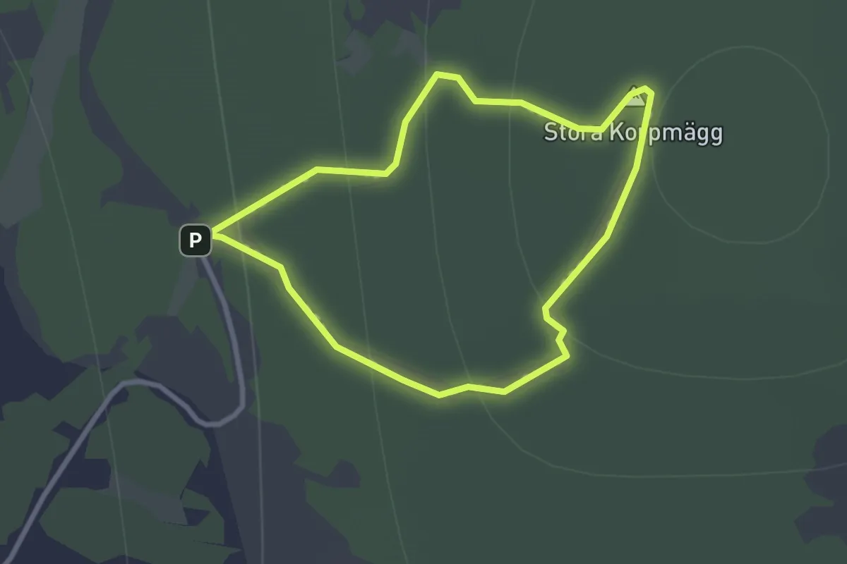
Easy · Summit
St. Korpmägg slinga
1.7 km · ↑ 104 m · 40 min