Trails in Sweden
3,247 hiking trails, each with its route, climb, walking time and grade.
All trails, page 59 of 68
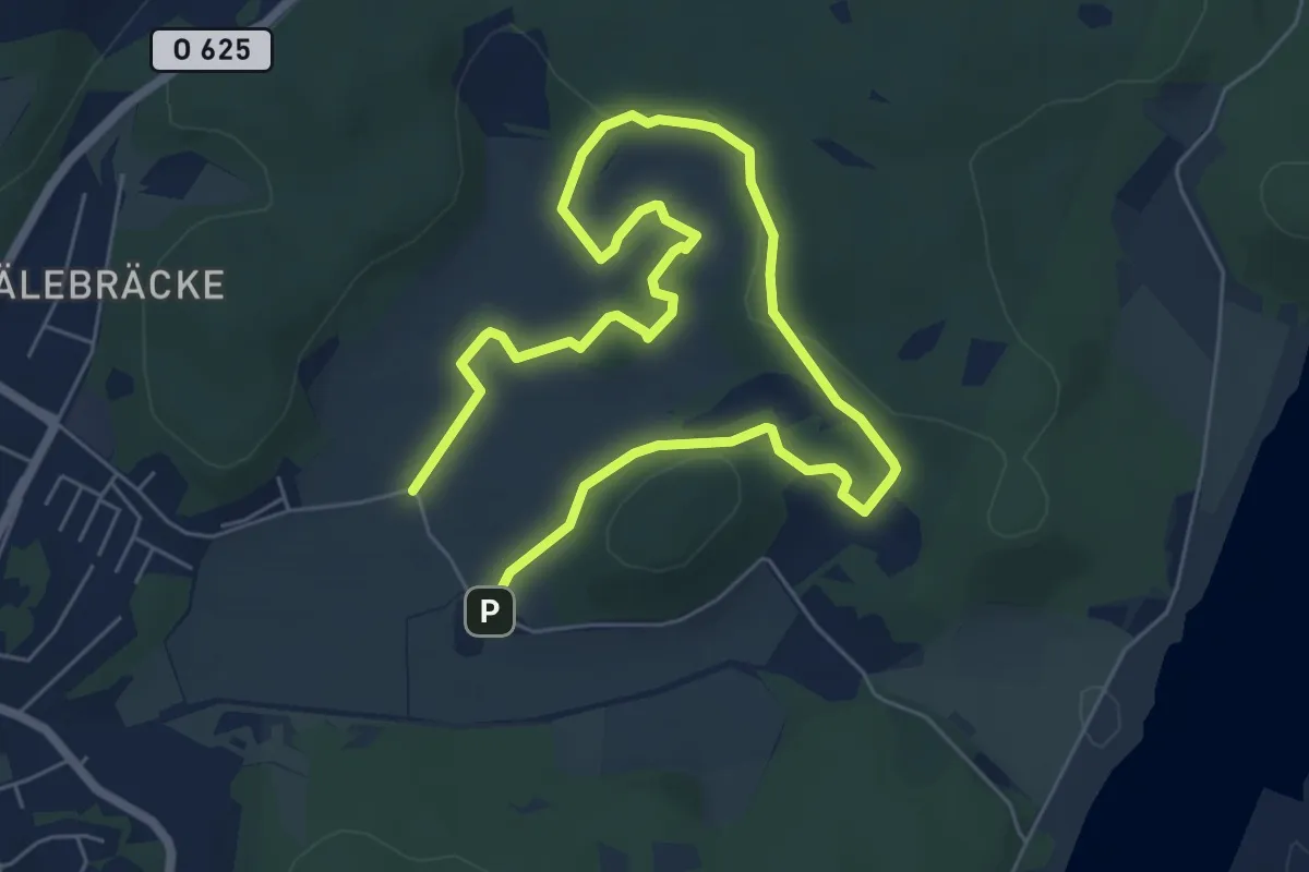
Easy · Trail
Trankärrsslingan
7.6 km · ↑ 139 m · 2 h 6 min
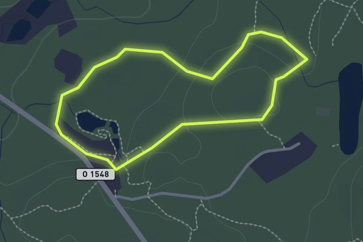
Easy · Trail
Trasten 1,5 km Elljusspår
1.6 km · ↑ 23 m · 27 min
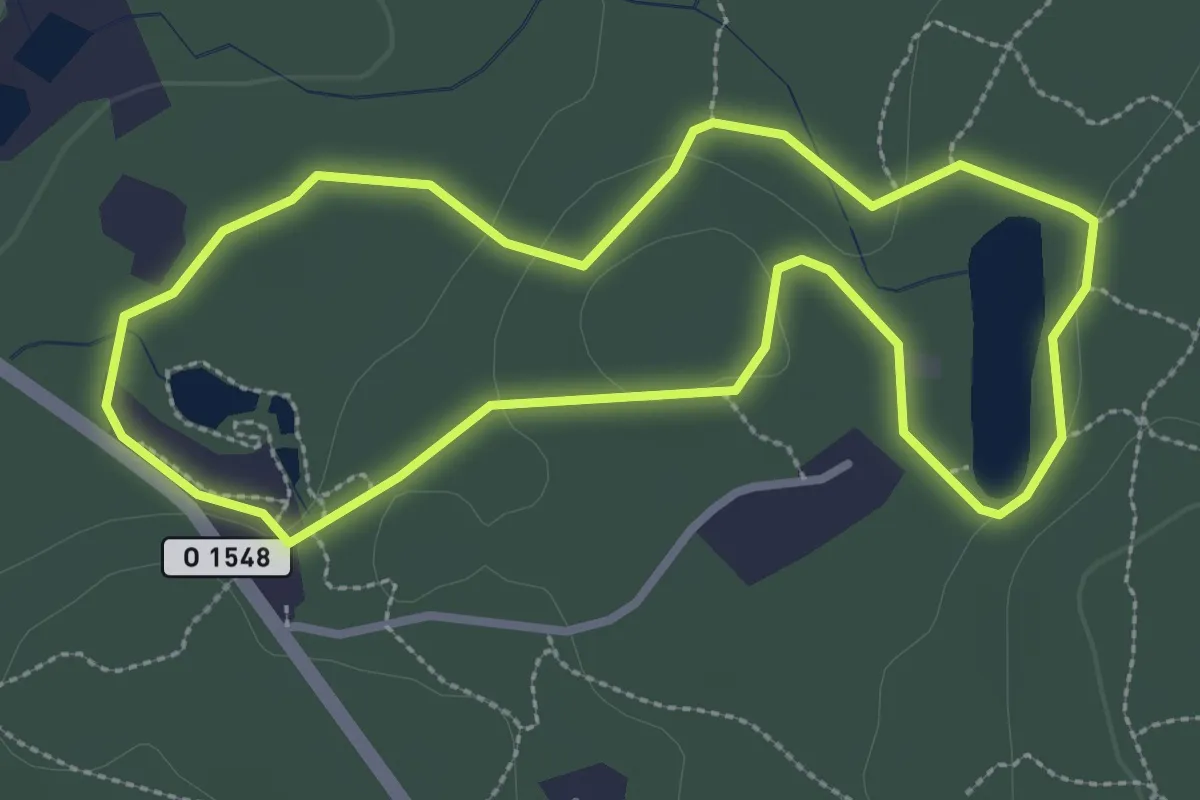
Easy · Trail
Trasten 2,2 km Elljusspår
2.3 km · ↑ 30 m · 39 min
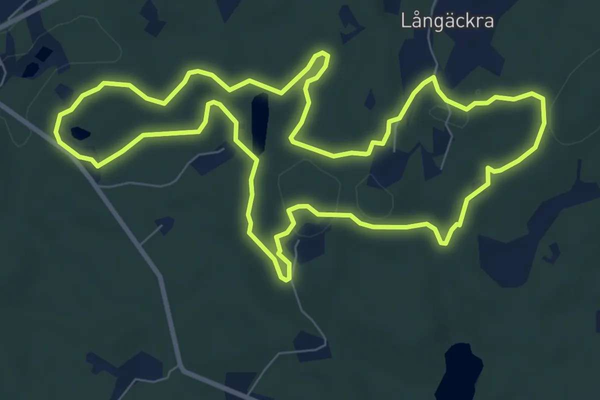
Easy · Trail
Trasten 5,6 km Motionsspår
6.0 km · ↑ 69 m · 1 h 39 min
Medium · Trail
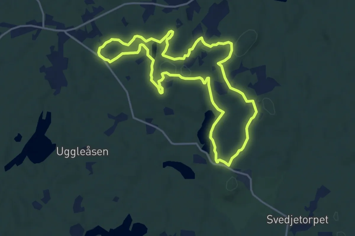
Trasten 8,8 km Motionsspår
8.9 km · ↑ 94 m · 2 h 26 min
Medium · Trail
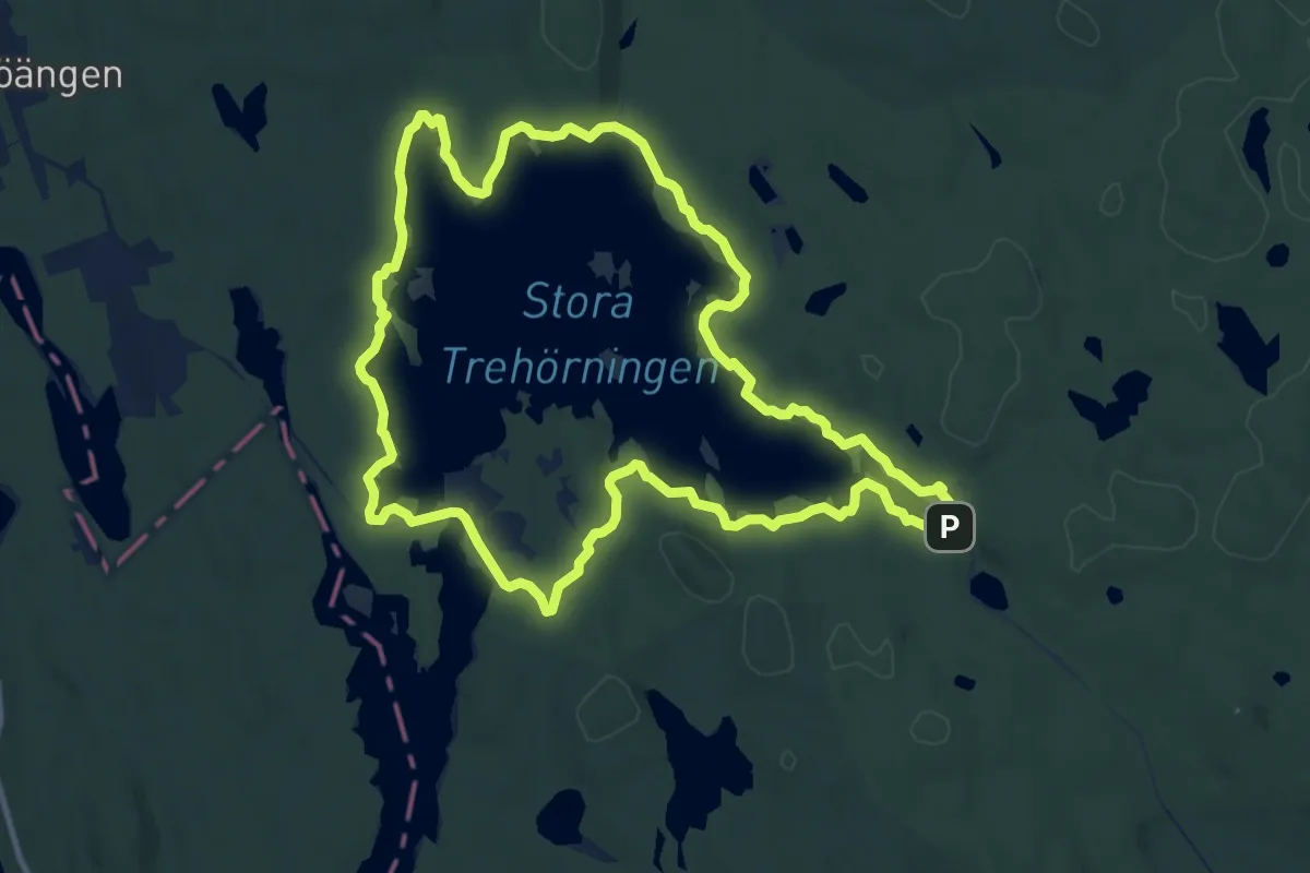
Trehörningsrundan
9.2 km · ↑ 120 m · 2 h 34 min
Easy · Trail
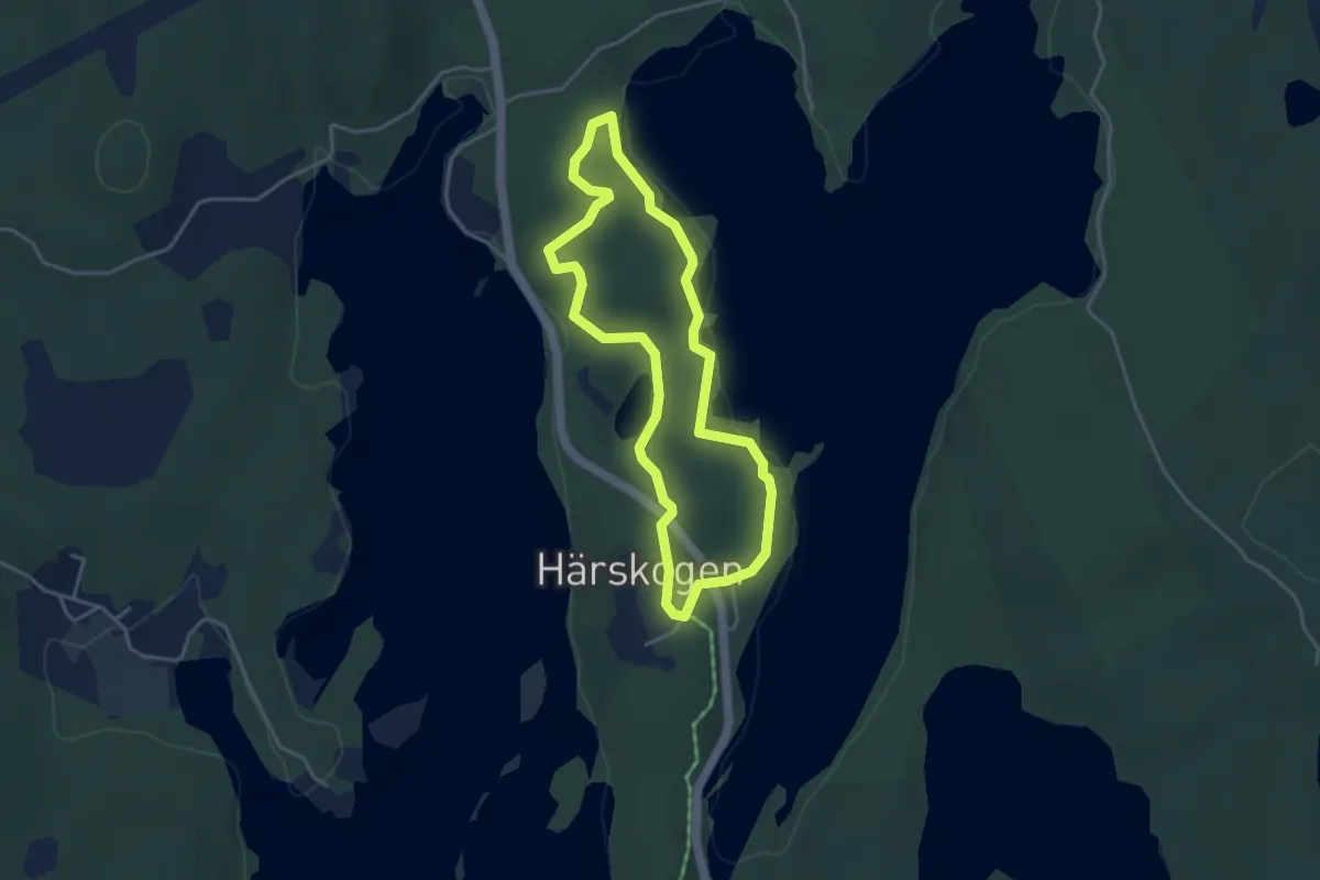
Tre Knallar
2.9 km · ↑ 60 m · 51 min
Easy · Trail
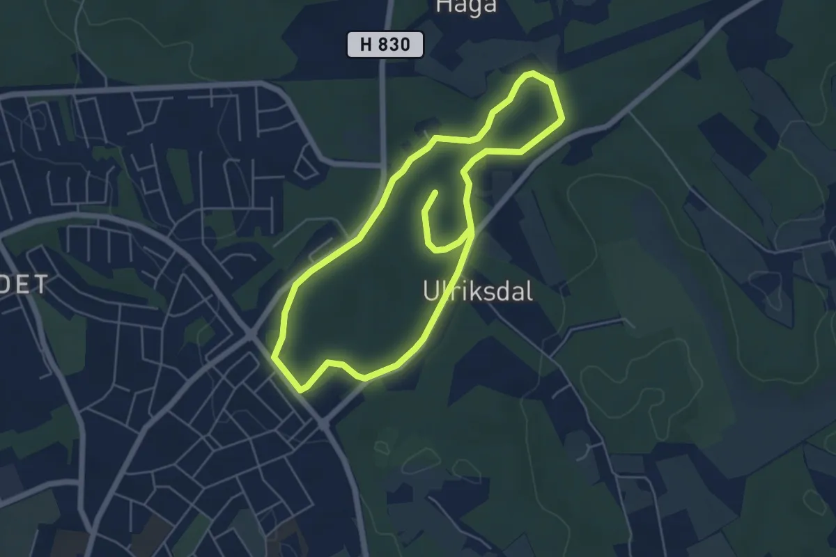
Trekommafemman
3.8 km · ↑ 44 m · 1 h 4 min
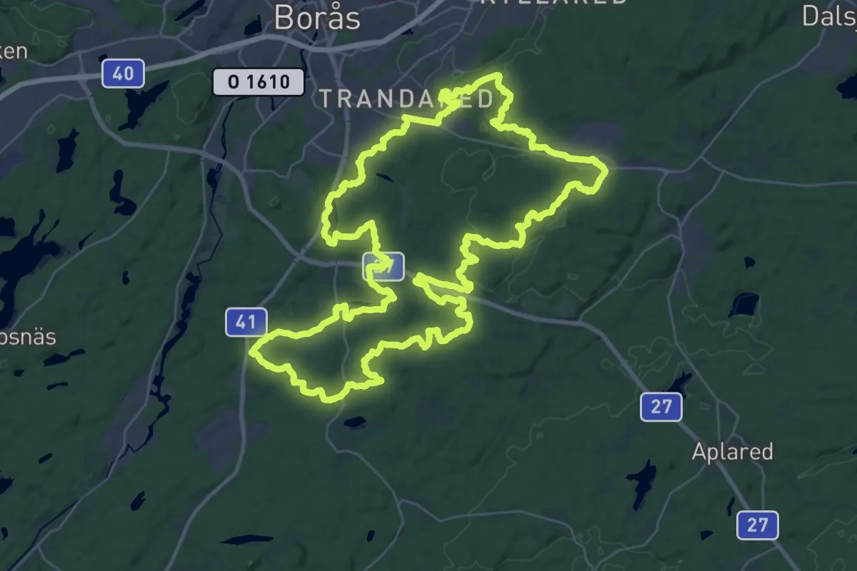
Demanding · Trail
Tremilaleden
32.0 km · ↑ 365 m · 8 h 47 min
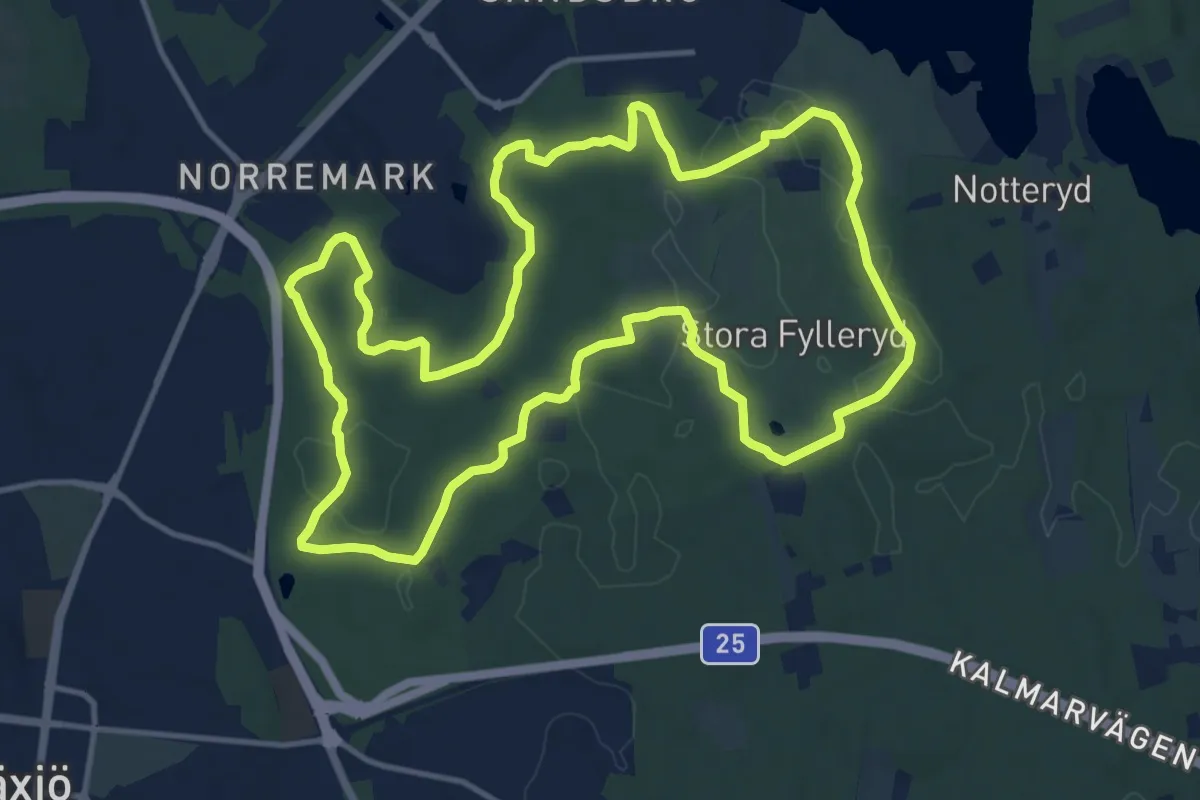
Medium · Trail
Trestugespåret
11.4 km · ↑ 80 m · 3 h 1 min
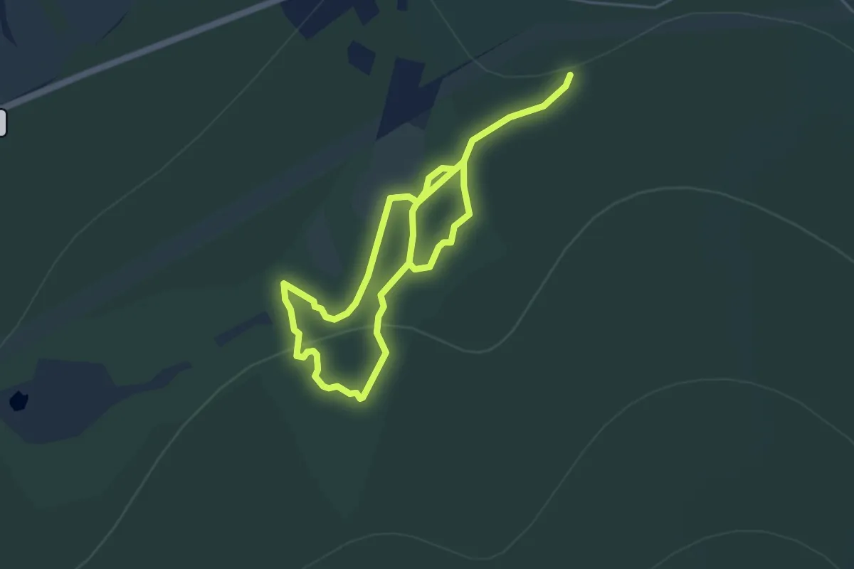
Easy · Trail
Trolldalen
5.7 km · ↑ 199 m · 1 h 46 min
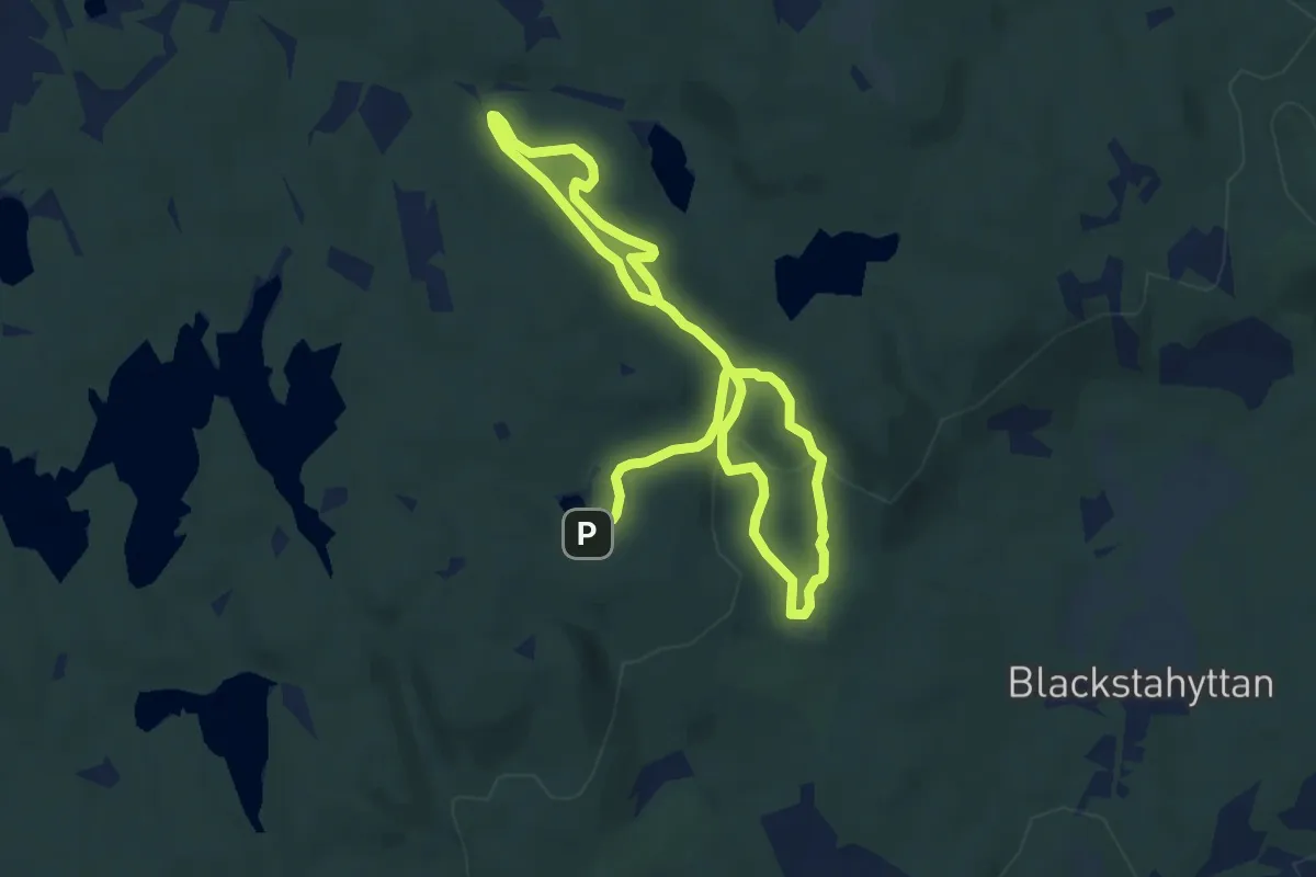
Medium · Trail
Trolldalen och Vargkitteln
10.8 km · ↑ 172 m · 2 h 55 min
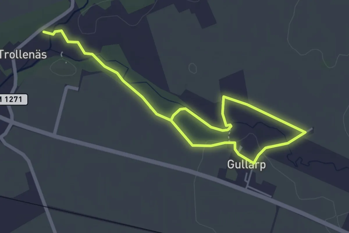
Easy · Trail
Trollestigen
2.6 km · ↑ 8 m · 40 min
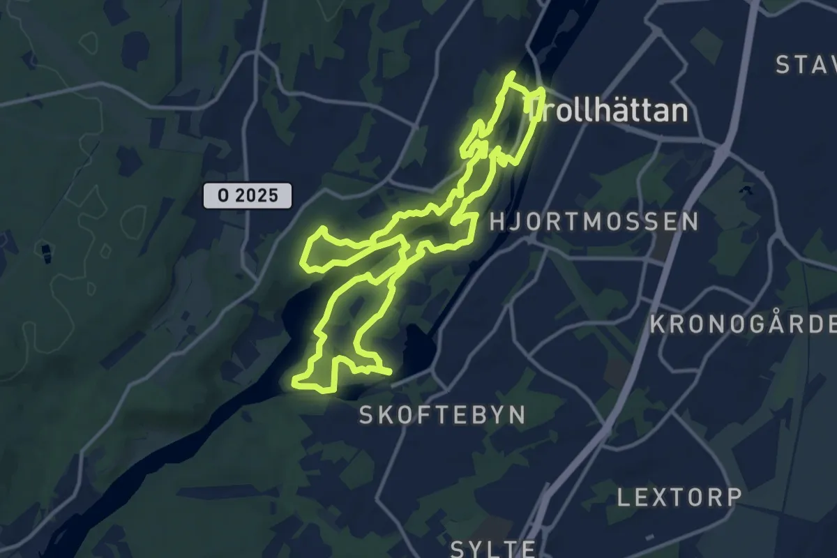
Medium · Trail
Trollhättan City Trail
10.5 km · ↑ 286 m · 3 h 15 min
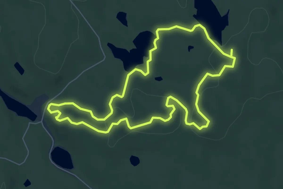
Medium · Summit
Trollkyrkorundan
4.6 km · ↑ 70 m · 1 h 18 min
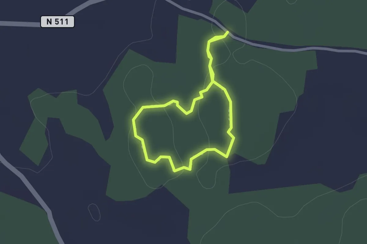
Easy · Trail
Trollrundan
1.4 km · ↑ 4 m · 21 min
Easy · Trail
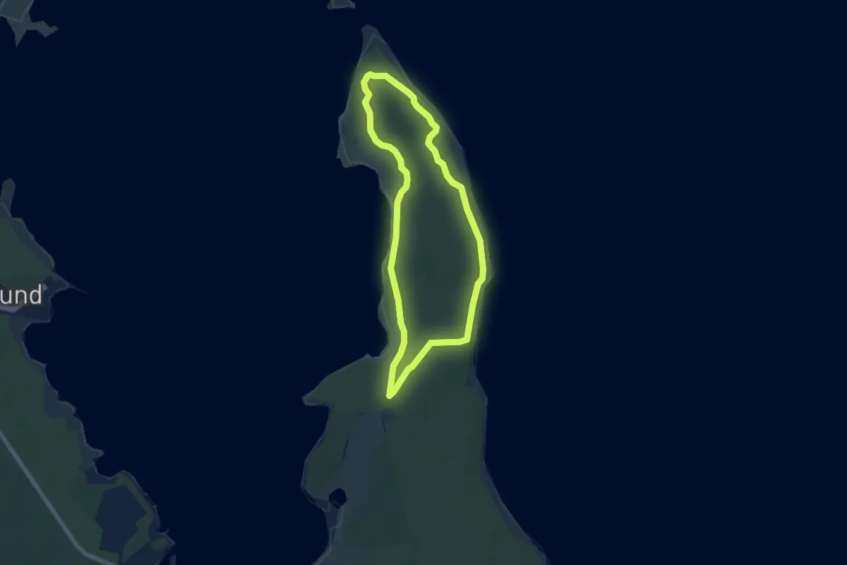
Trollskogsstigen
4.3 km · ↑ 17 m · 1 h 7 min
Medium · Trail
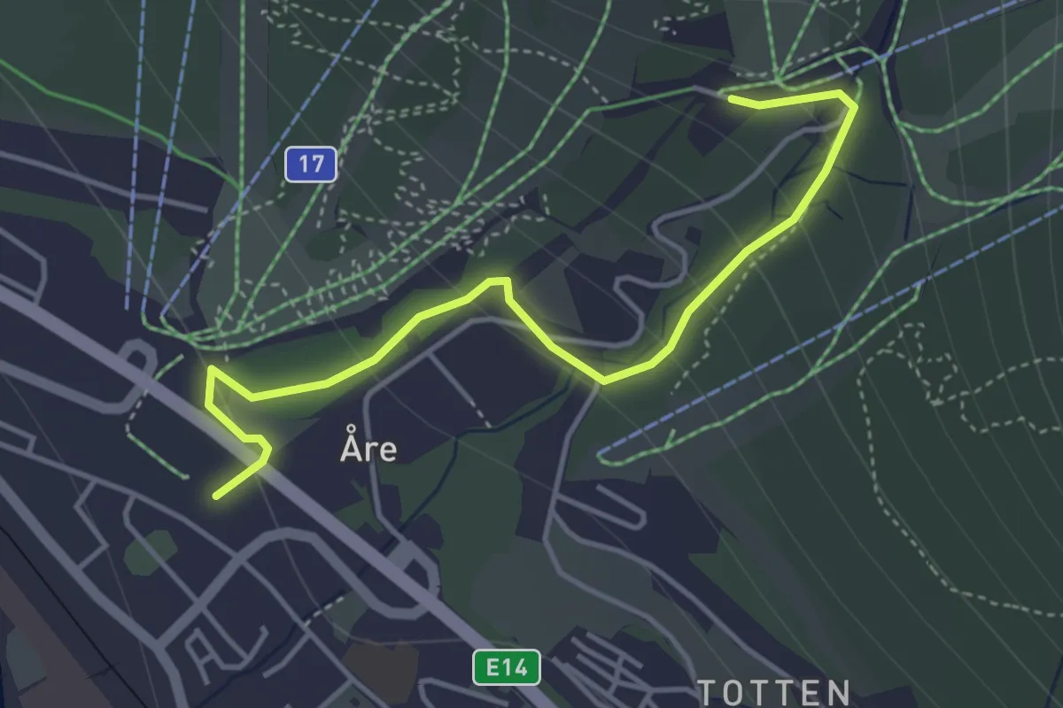
Trollstigen
2.8 km · ↑ 410 m · 1 h 33 min
Easy · Trail
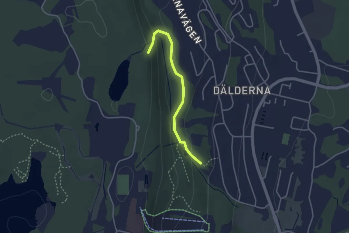
Trollstigen - Billingetrollets trollstig
2.0 km · ↑ 76 m · 38 min
Easy · Trail
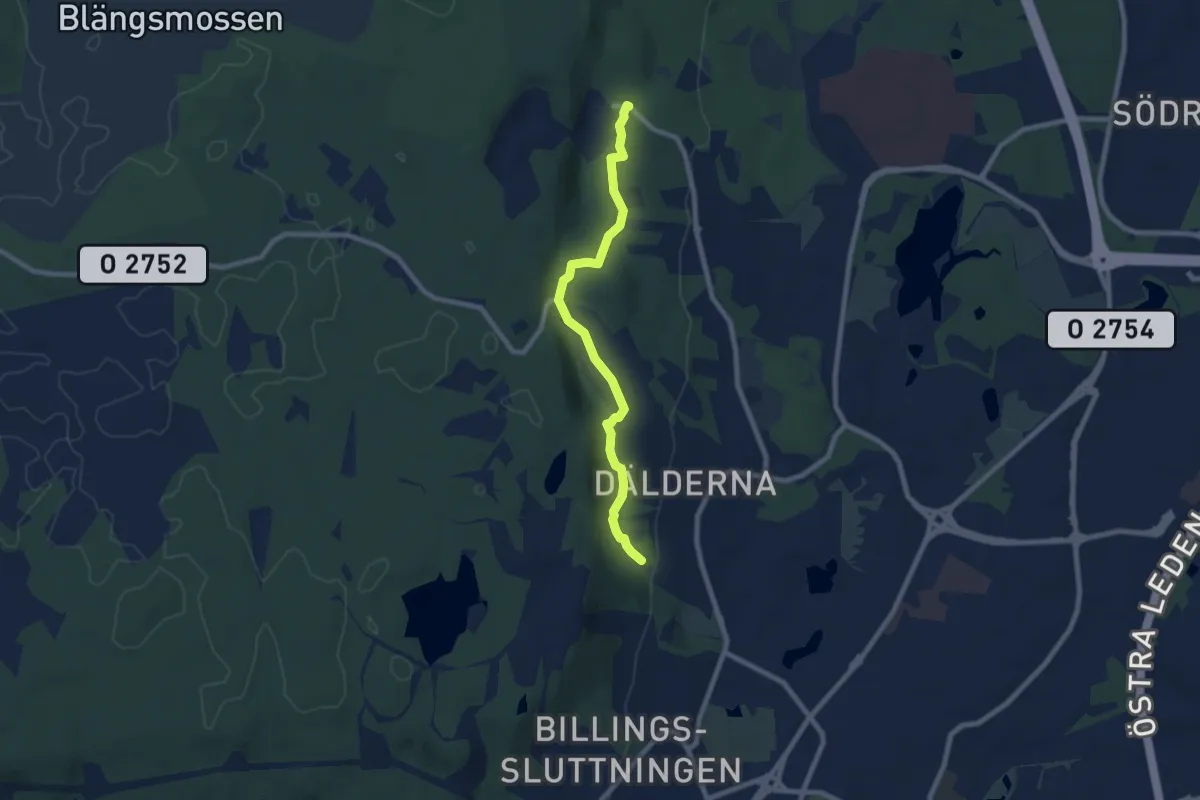
Trollstigen - Den historiska leden
5.8 km · ↑ 122 m · 1 h 38 min
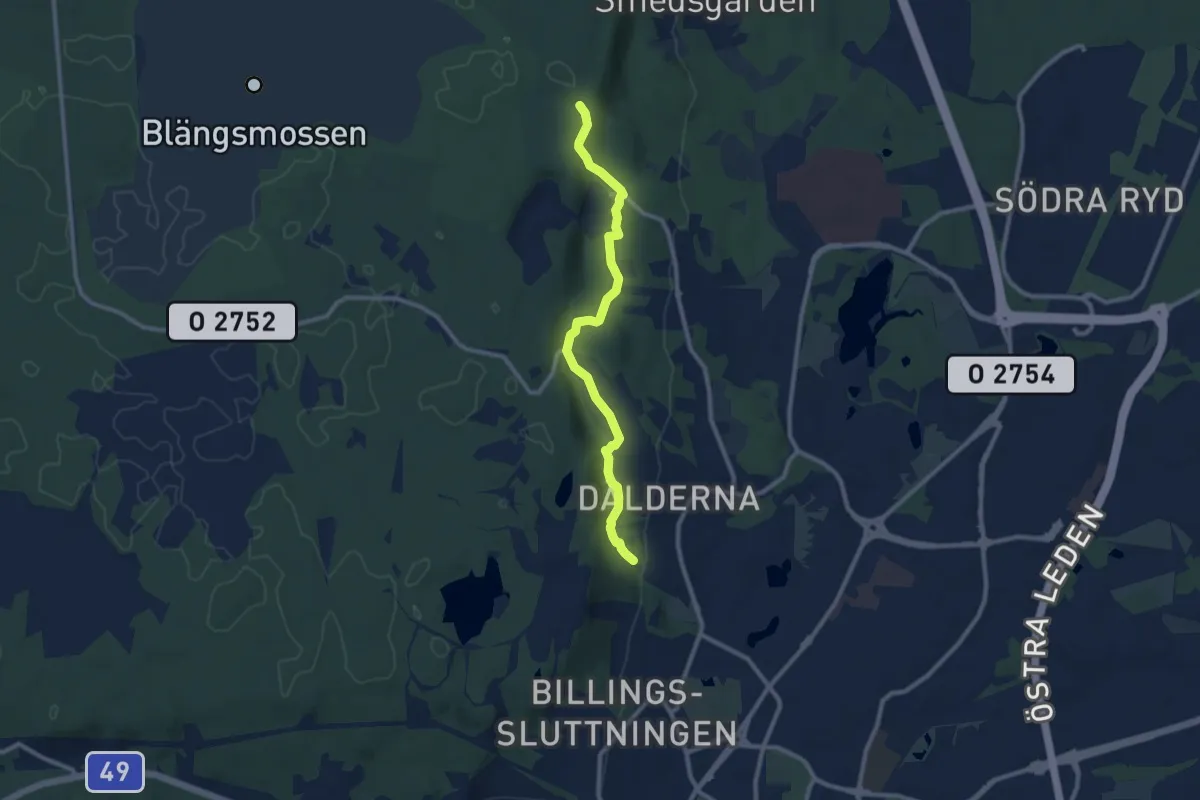
Easy · Trail
Trollstigen - Den Vidunderliga Vandringen
7.2 km · ↑ 171 m · 2 h 5 min
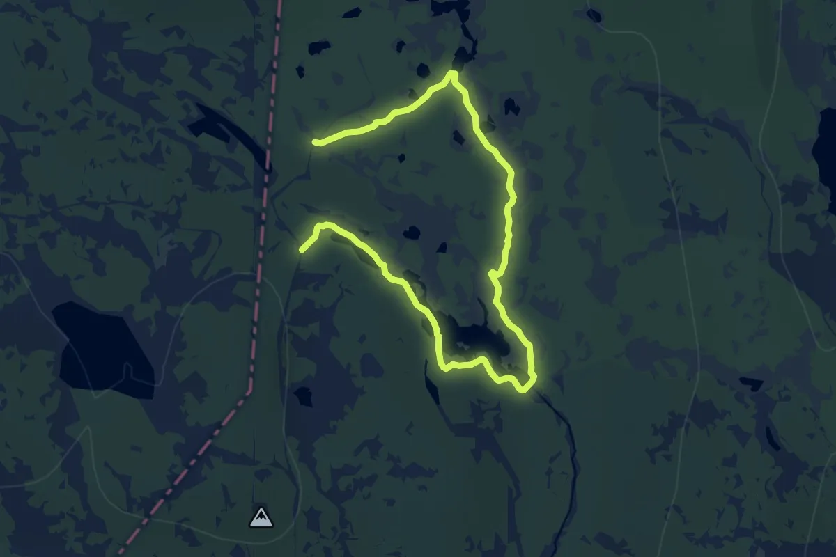
Medium · Trail
Trubbingslingan
13.7 km · ↑ 156 m · 3 h 34 min
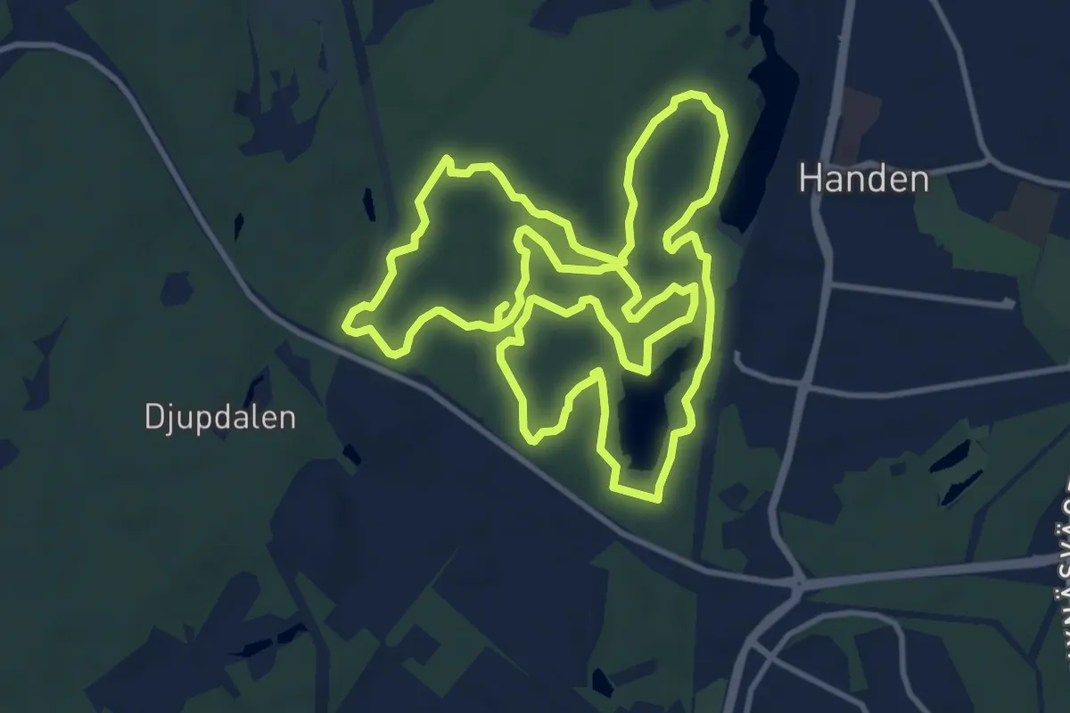
Medium · Trail
Trylenslingan
9.8 km · ↑ 72 m · 2 h 36 min
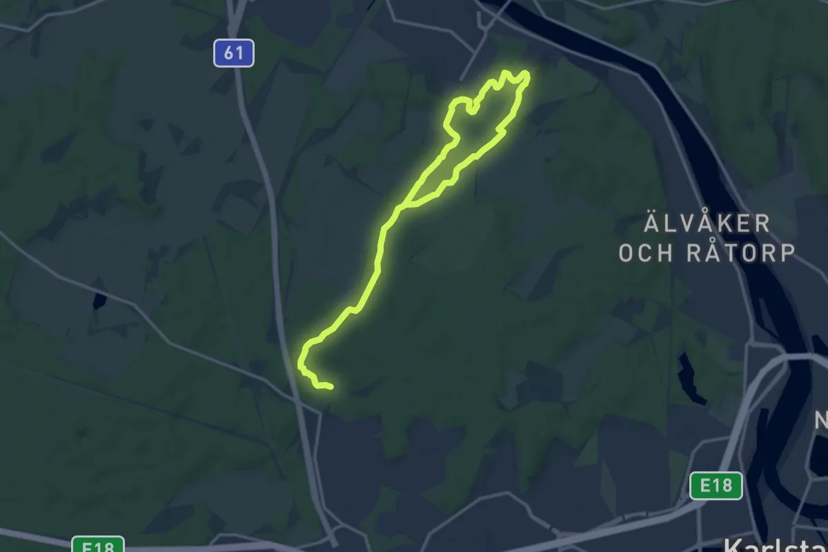
Medium · Trail
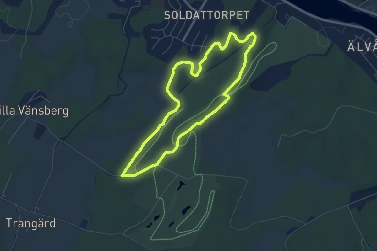
Tuggelite 10 km motionsspår
13.5 km · ↑ 104 m · 3 h 25 min
Easy · Trail
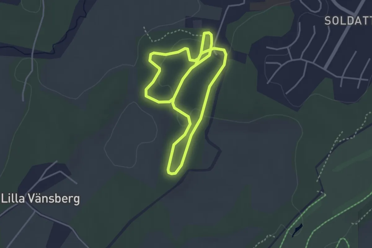
Tuggelite 5 km motionsspår
4.4 km · ↑ 43 m · 1 h 11 min
Easy · Trail
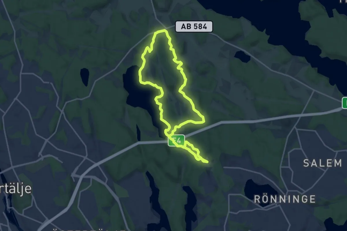
Tuggelite motionsspår/skidspår
5.0 km · ↑ 113 m · 1 h 25 min
Medium · Trail
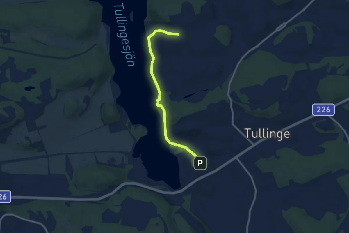
Tullanleden
10.0 km · ↑ 133 m · 2 h 47 min
Easy · Trail
Tullinge strandpromenad
2.5 km · ↑ 49 m · 43 min
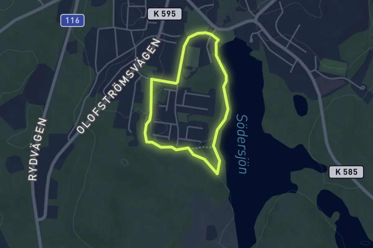
Easy · Trail
Tulsebodaslingan
2.2 km · ↑ 4 m · 34 min
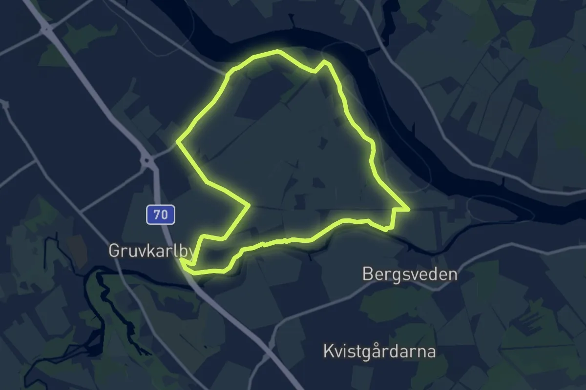
Easy · Trail
Tunaåleden
6.8 km · ↑ 41 m · 1 h 47 min
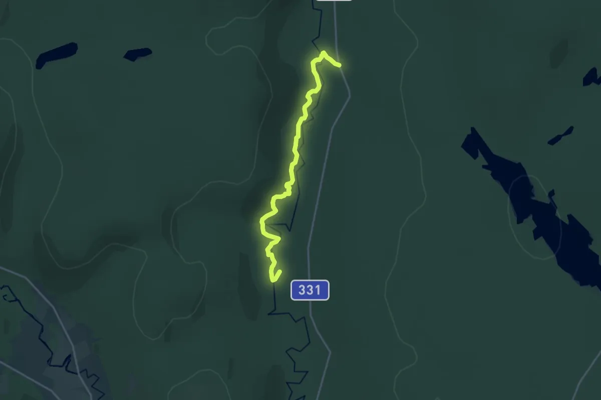
Medium · Trail
Tuna fäbodstig
11.3 km · ↑ 337 m · 3 h 24 min
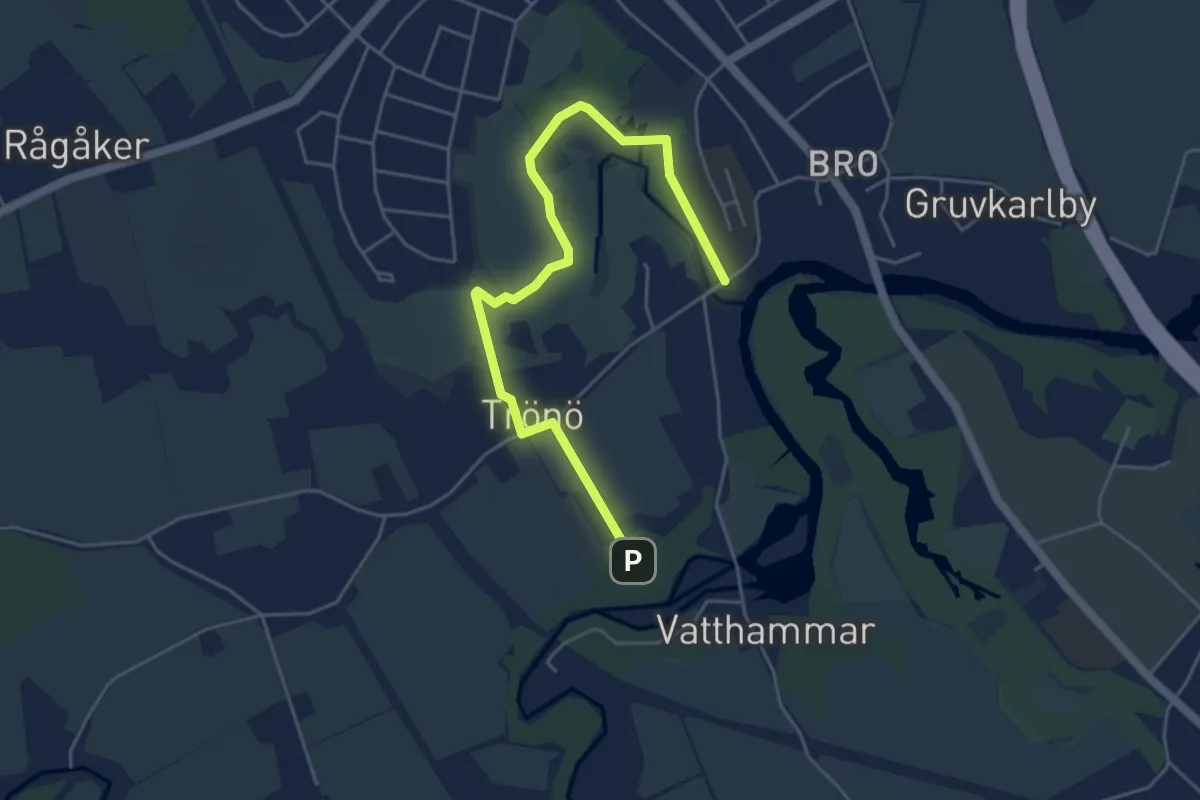
Easy · Trail
Tunarundan
3.8 km · ↑ 35 m · 59 min
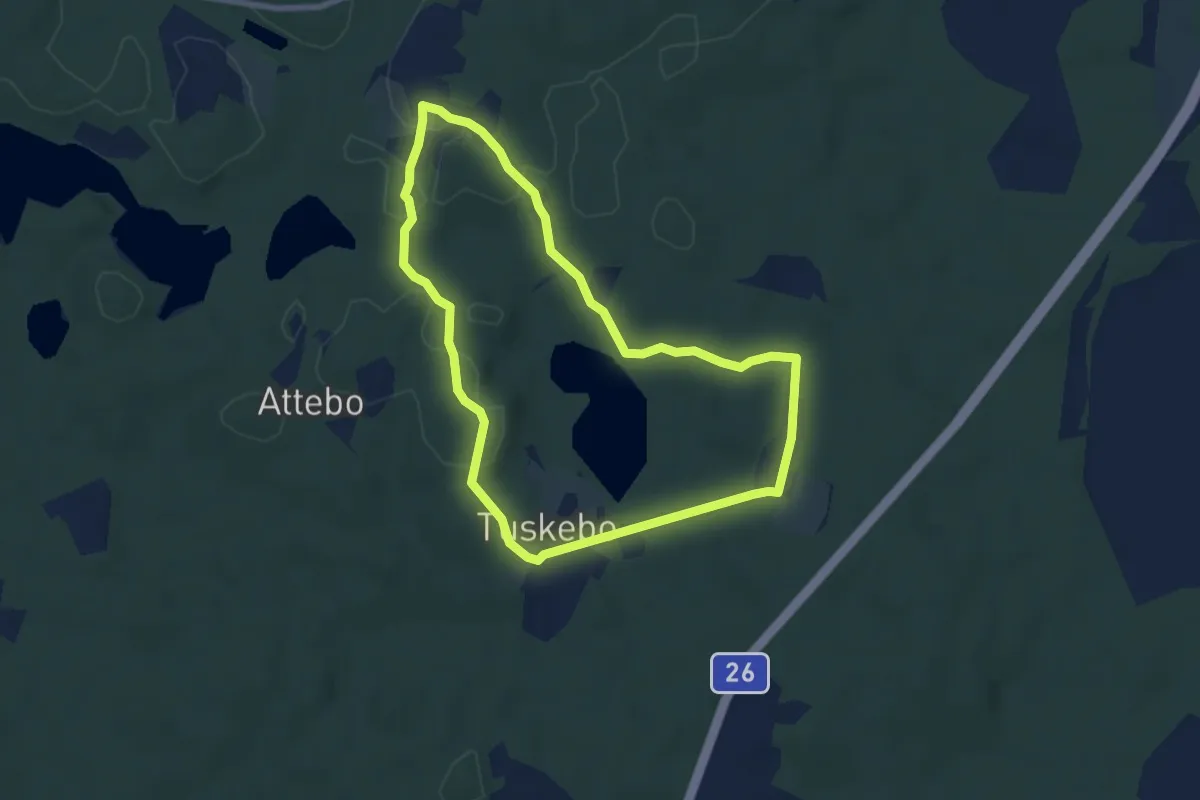
Easy · Trail
Tuskebo promenadstig
5.4 km · ↑ 47 m · 1 h 28 min
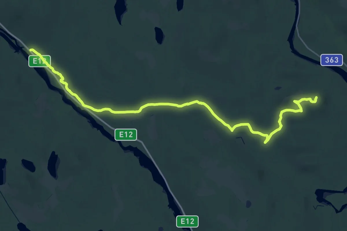
Demanding · Summit
Tvåälvsleden
45.7 km · ↑ 632 m · 12 h 9 min
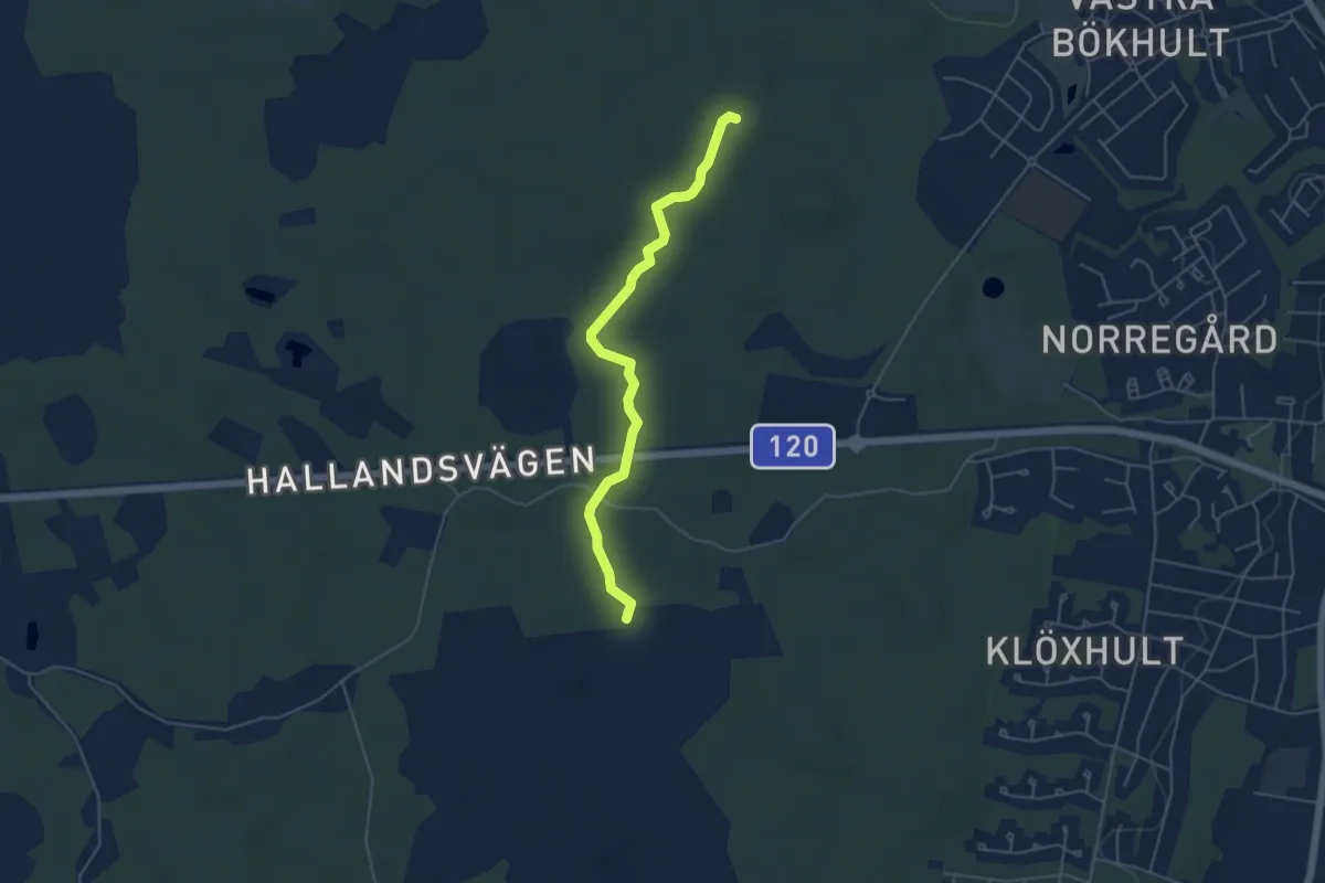
Easy · Trail
Tvärleden
3.9 km · ↑ 25 m · 59 min
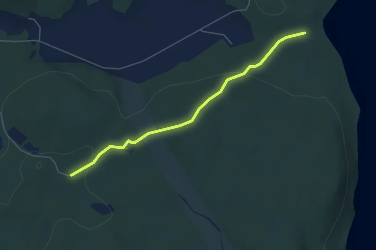
Easy · Trail
Tvärleden
3.6 km · ↑ 68 m · 1 h
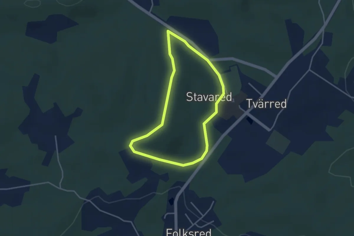
Easy · Trail
Tvärreds IF Eljusspår
2.2 km · ↑ 37 m · 38 min
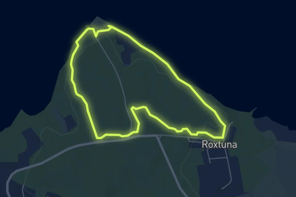
Easy · Trail
Tvärskogsudde motionsspår
3.7 km · ↑ 30 m · 59 min
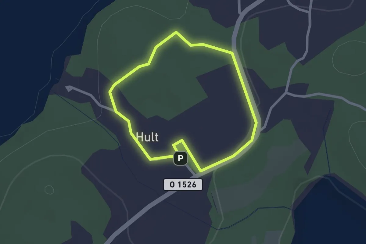
Easy · Trail
Två Skyttlar 1,5 km Elljusspår
1.4 km · ↑ 29 m · 25 min
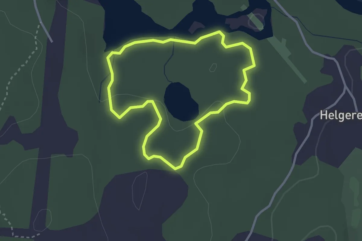
Easy · Trail
Två tjärnar
1.9 km · ↑ 23 m · 32 min
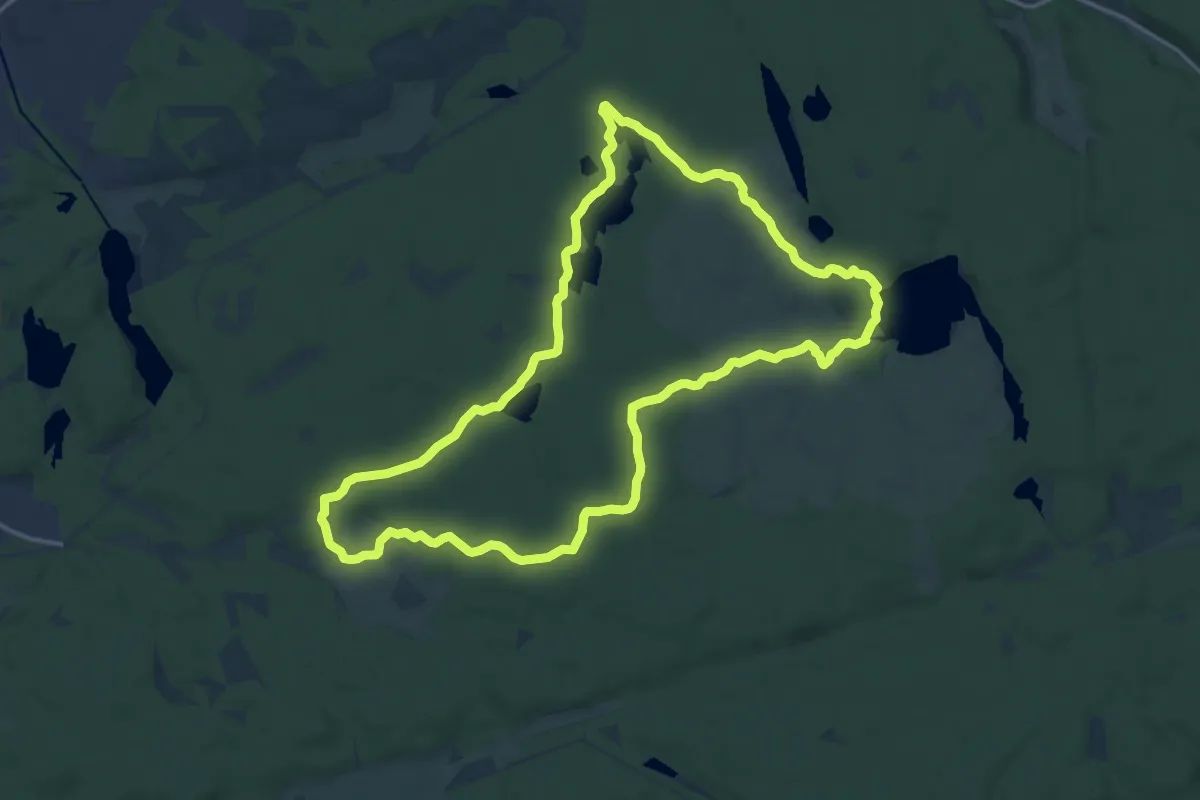
Medium · Trail
Tyrestarundan
12.9 km · ↑ 86 m · 3 h 25 min
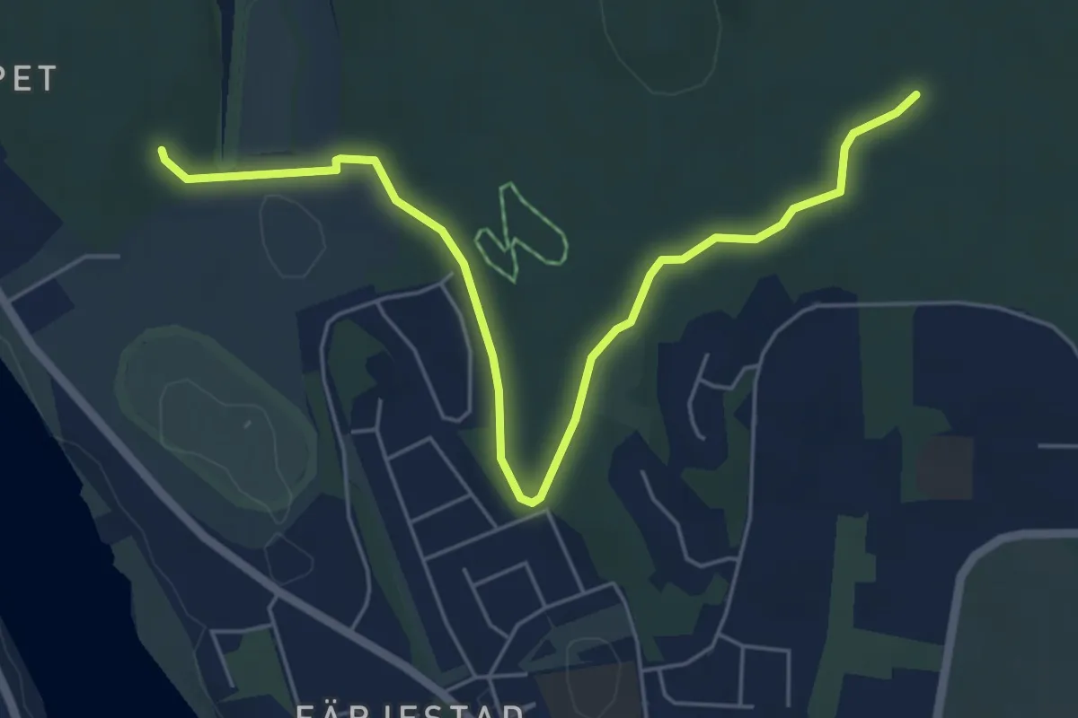
Easy · Trail
Tyr-Rud motionsspår
4.6 km · ↑ 87 m · 1 h 17 min
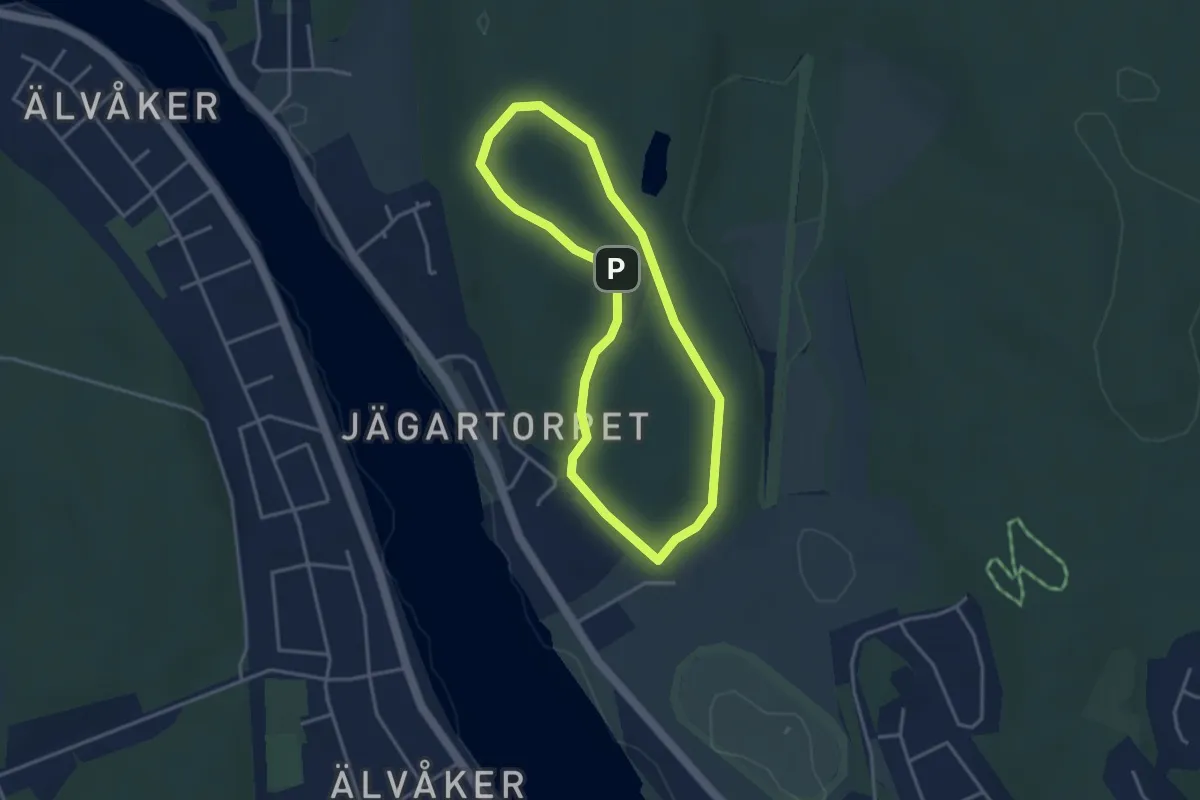
Easy · Trail
Tyrs motionsspår
2.4 km · ↑ 41 m · 41 min
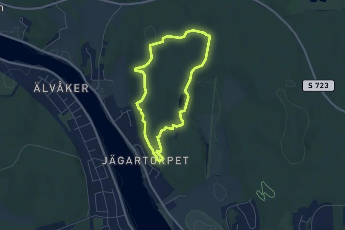
Easy · Trail
Tyrterrängens naturstig
3.6 km · ↑ 63 m · 1 h 2 min
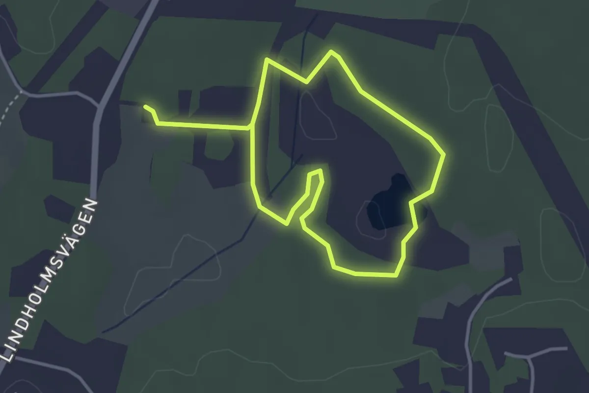
Easy · Trail
Ubbysjön runt 2km blå
2.1 km · ↑ 13 m · 34 min
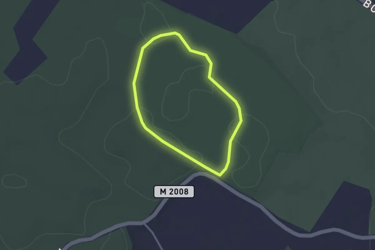
Easy · Trail
Uddarp Tillgänglig stig
1.7 km · ↑ 4 m · 26 min
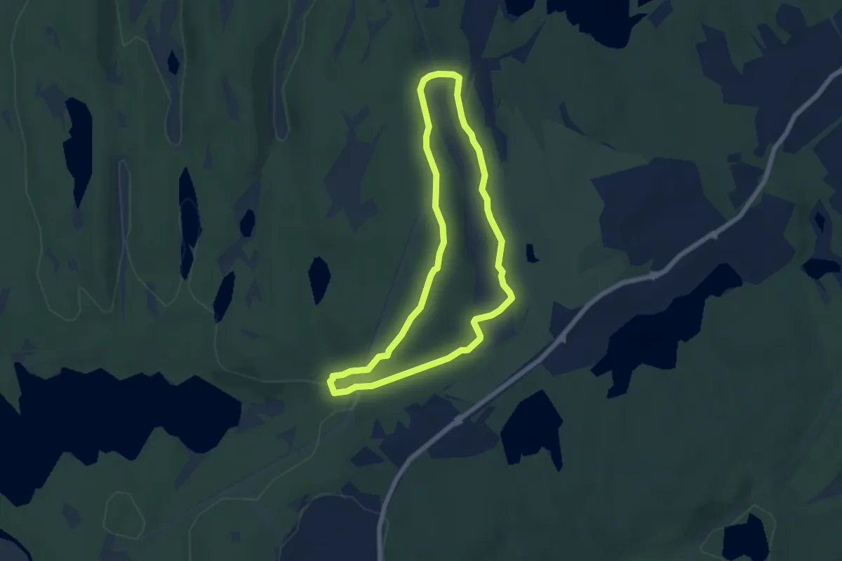
Easy · Trail
Ugglemossen runt
4.3 km · ↑ 75 m · 1 h 14 min
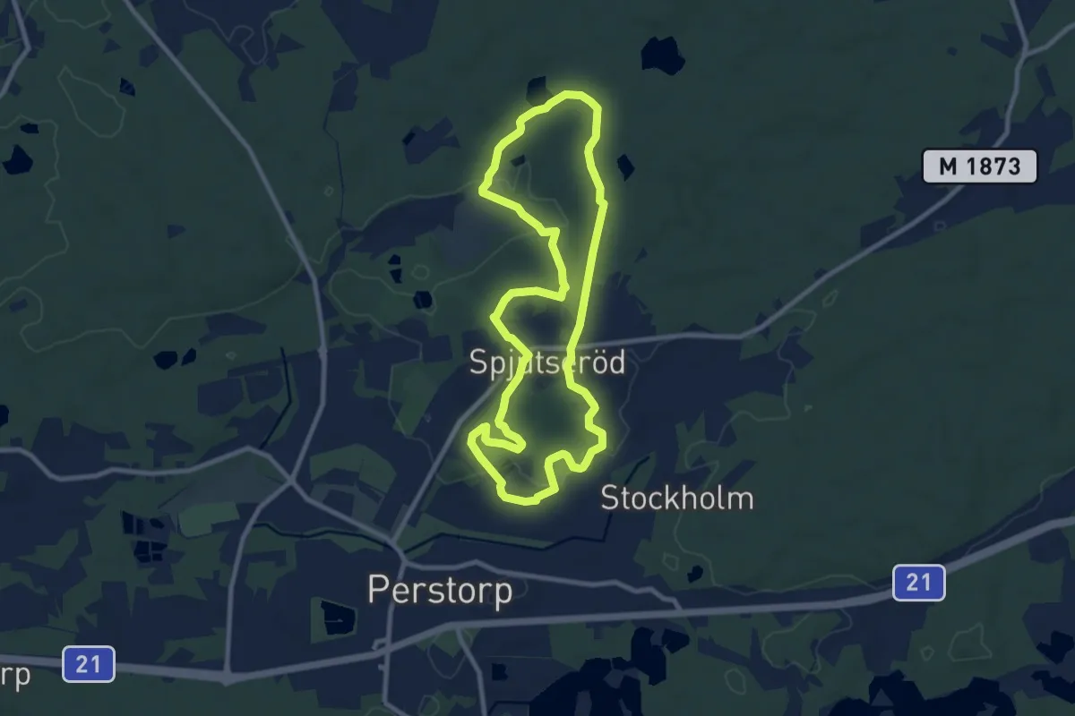
Easy · Trail
Uggleskogen Grön
7.2 km · ↑ 42 m · 1 h 53 min