Trails in Sweden
3,247 hiking trails, each with its route, climb, walking time and grade.
All trails, page 61 of 68
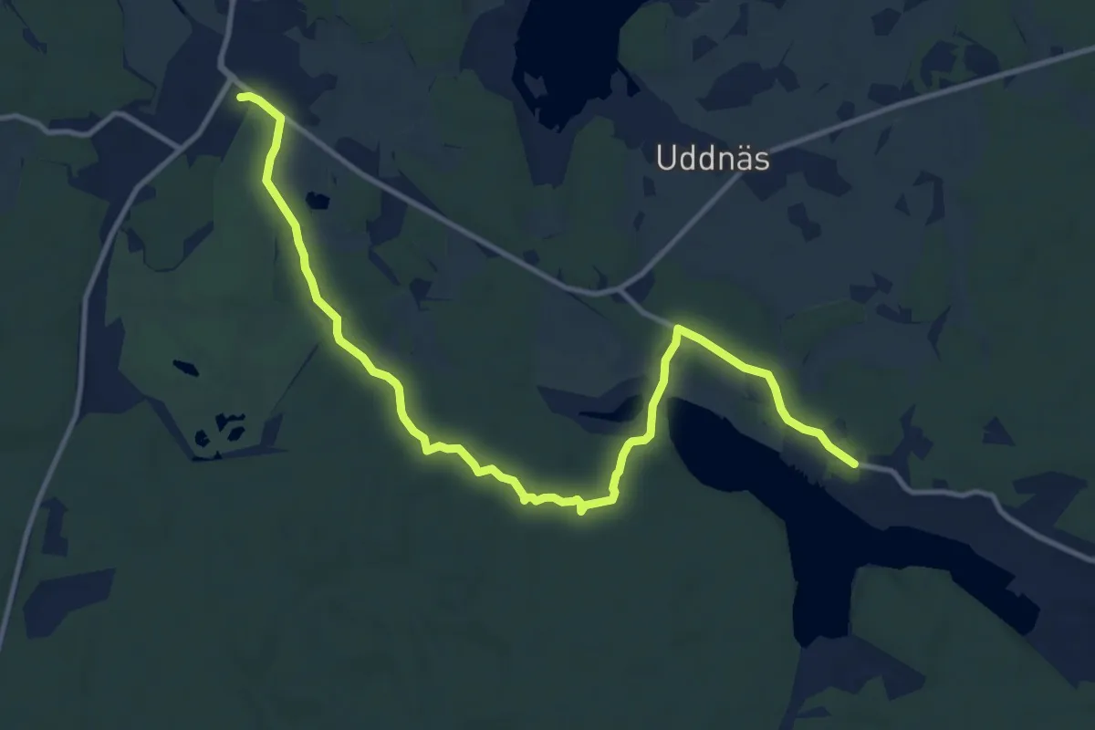
Medium · Trail
Upplandsleden, etapp 5
10.0 km · ↑ 64 m · 2 h 30 min
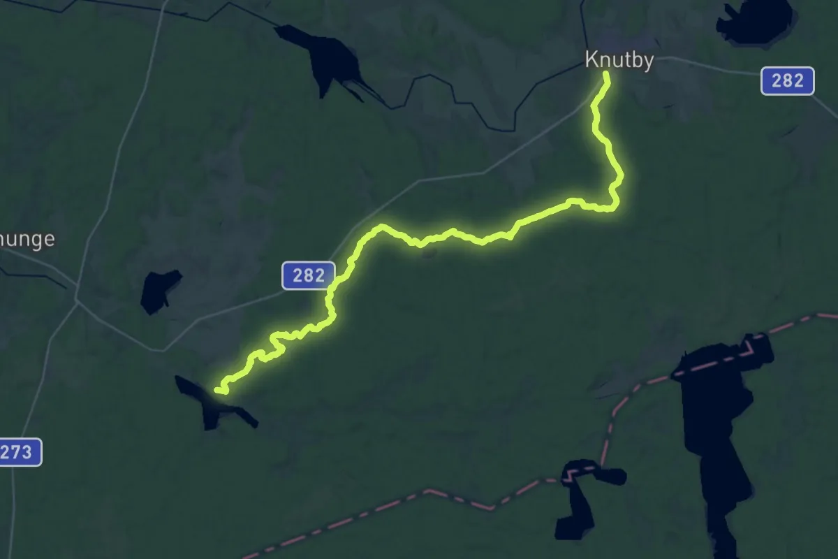
Demanding · Trail
Upplandsleden, etapp 6
30.1 km · ↑ 155 m · 7 h 27 min
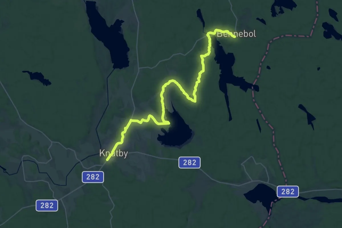
Demanding · Trail
Upplandsleden, etapp 7
26.5 km · ↑ 165 m · 6 h 38 min
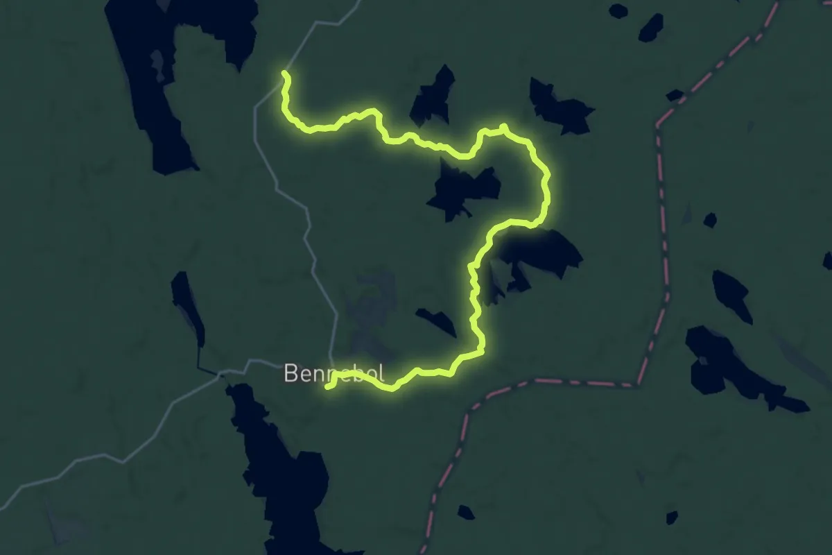
Demanding · Trail
Upplandsleden, etapp 8
18.1 km · ↑ 78 m · 4 h 26 min
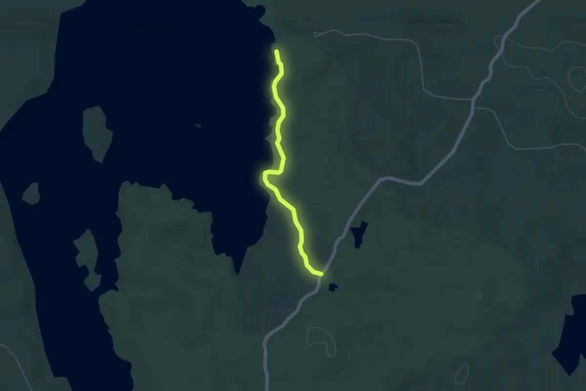
Easy · Trail
Upplandsleden, etapp 9
3.2 km · ↑ 166 m · 1 h 7 min
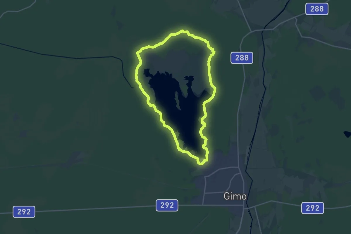
Medium · Summit
Upplandsleden, slinga 10:1 Dammleden
12.4 km · ↑ 298 m · 3 h 44 min
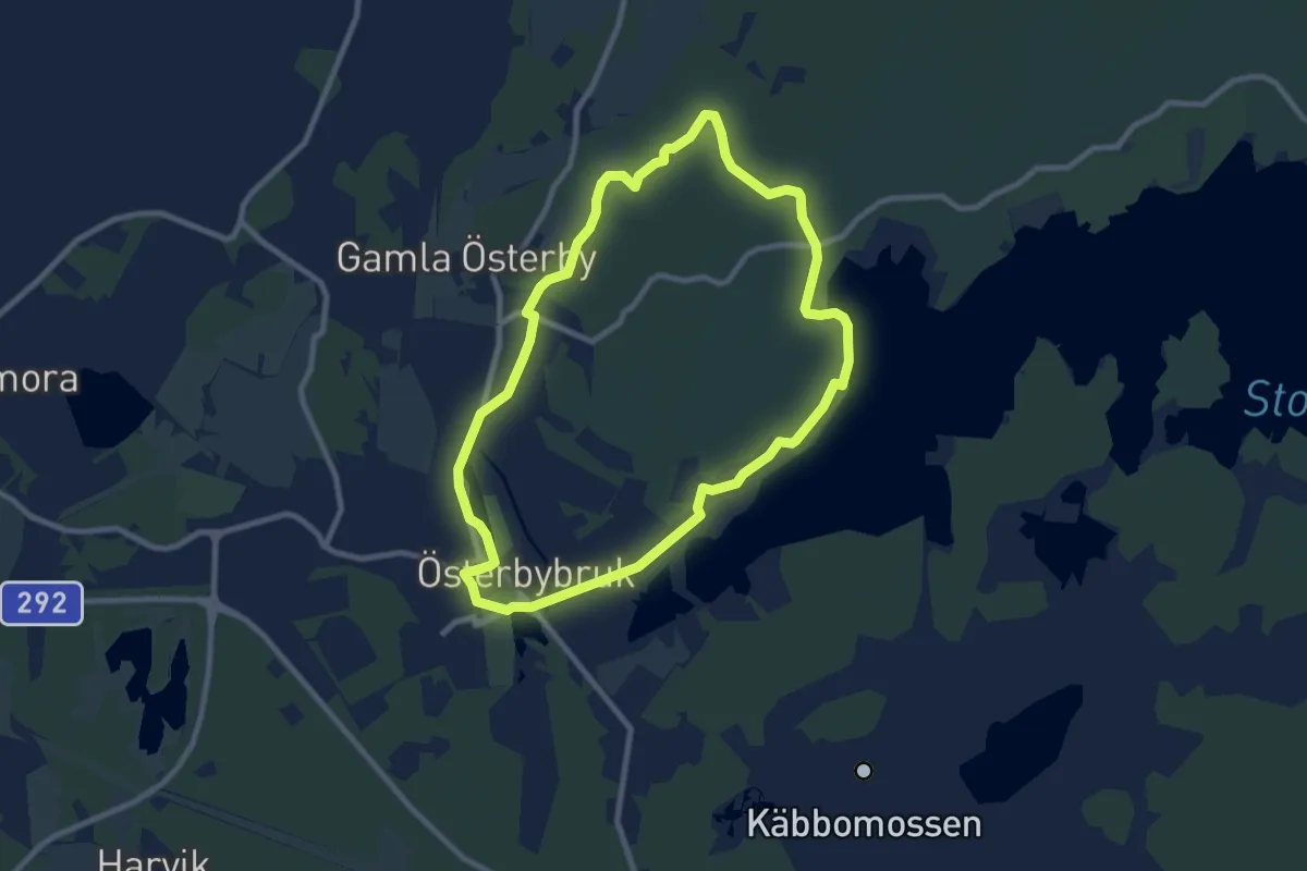
Easy · Trail
Upplandsleden, slinga 12:1 Österbybruk
6.4 km · ↑ 82 m · 1 h 46 min
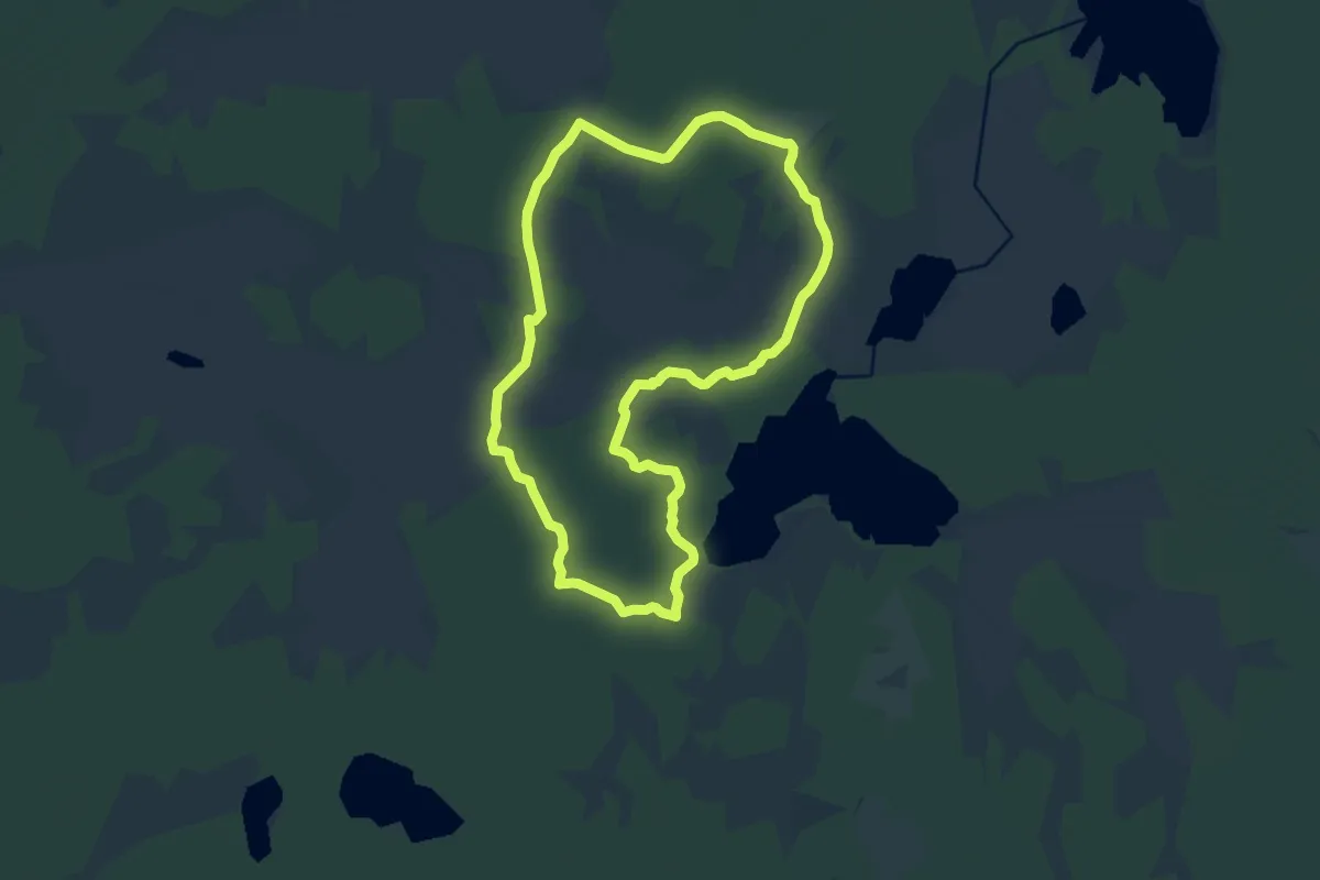
Medium · Trail
Upplandsleden, slinga 12:2 Florarna
9.8 km · ↑ 175 m · 2 h 49 min
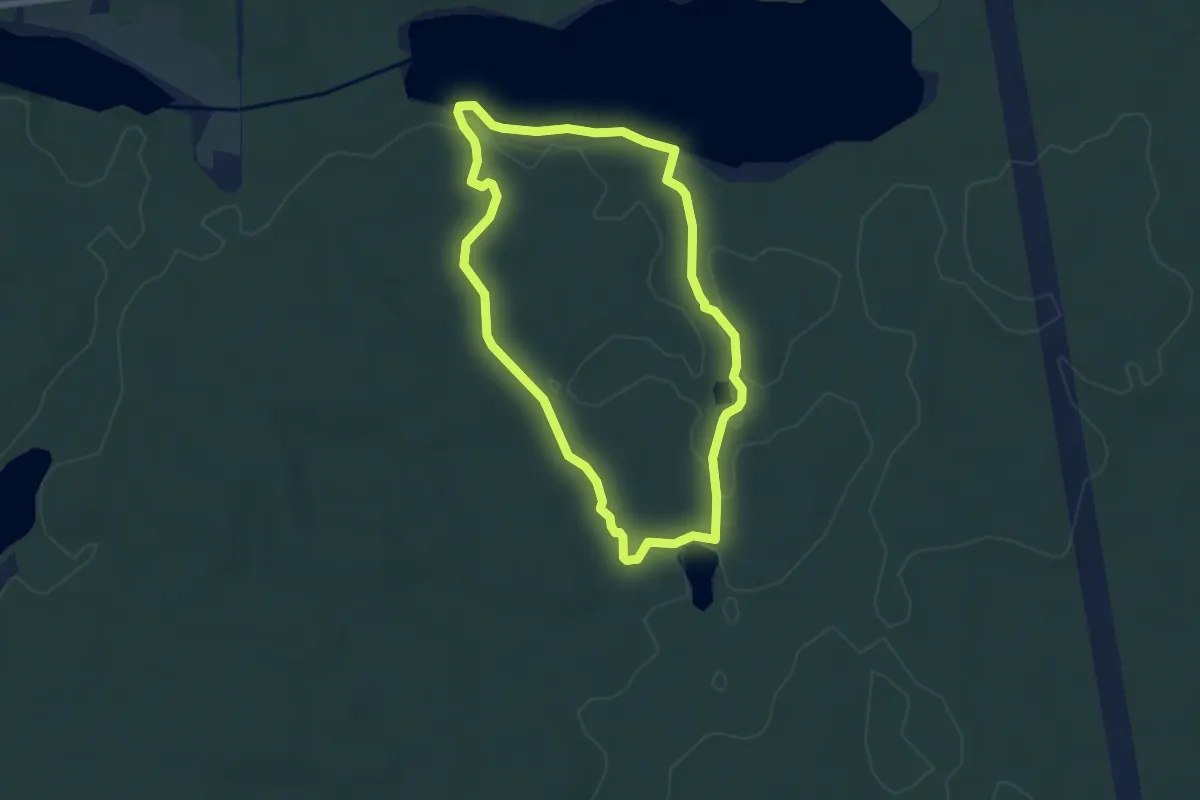
Easy · Trail
Upplandsleden, slinga 21:1 Ramsmossjöarna
4.4 km · ↑ 71 m · 1 h 15 min
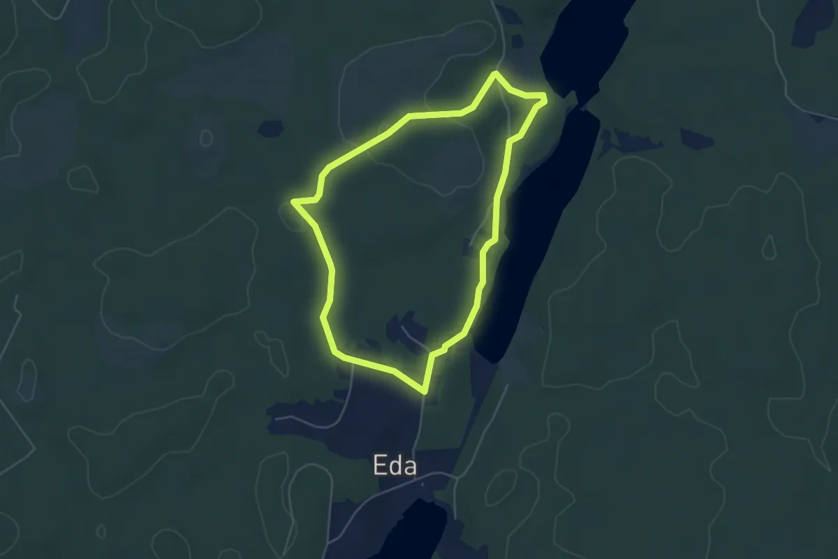
Easy · Trail
Upplandsleden, slinga 2:1, Eda
3.4 km · ↑ 22 m · 54 min
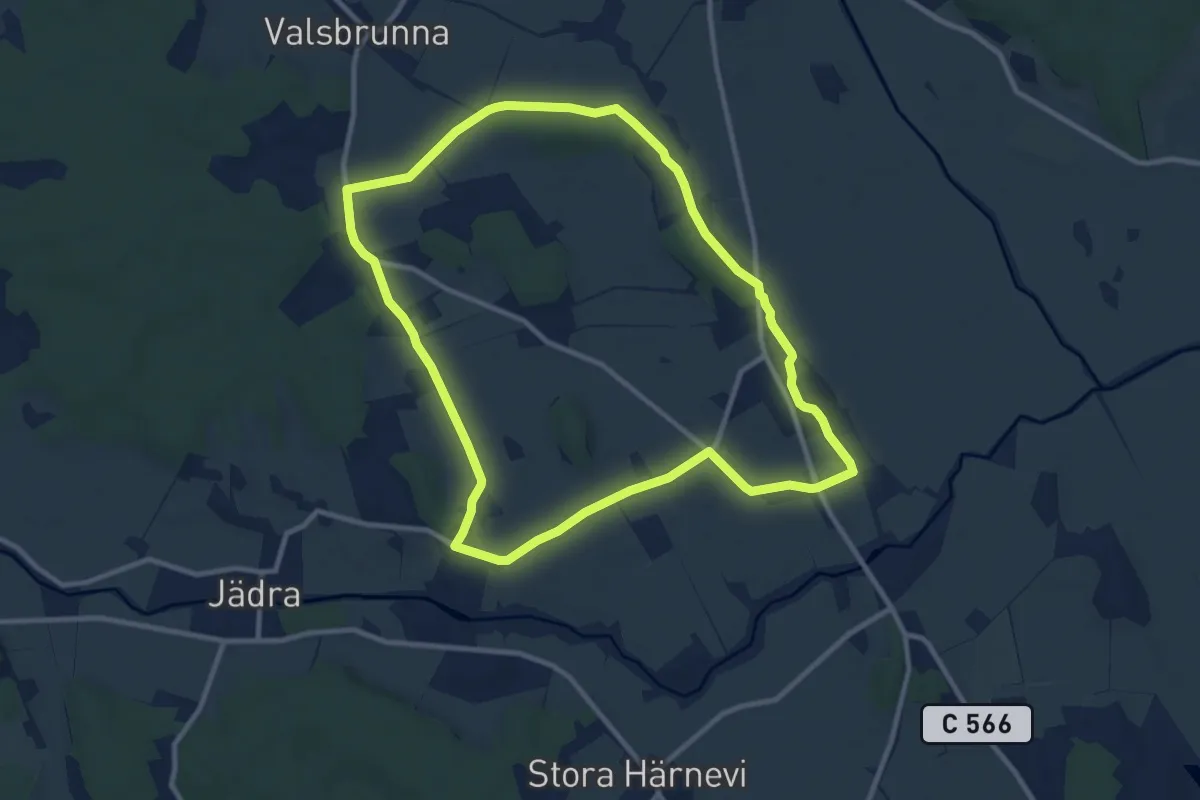
Easy · Trail
Upplandsleden, slinga 23:1, Torslunda
7.7 km · ↑ 45 m · 2 h 1 min
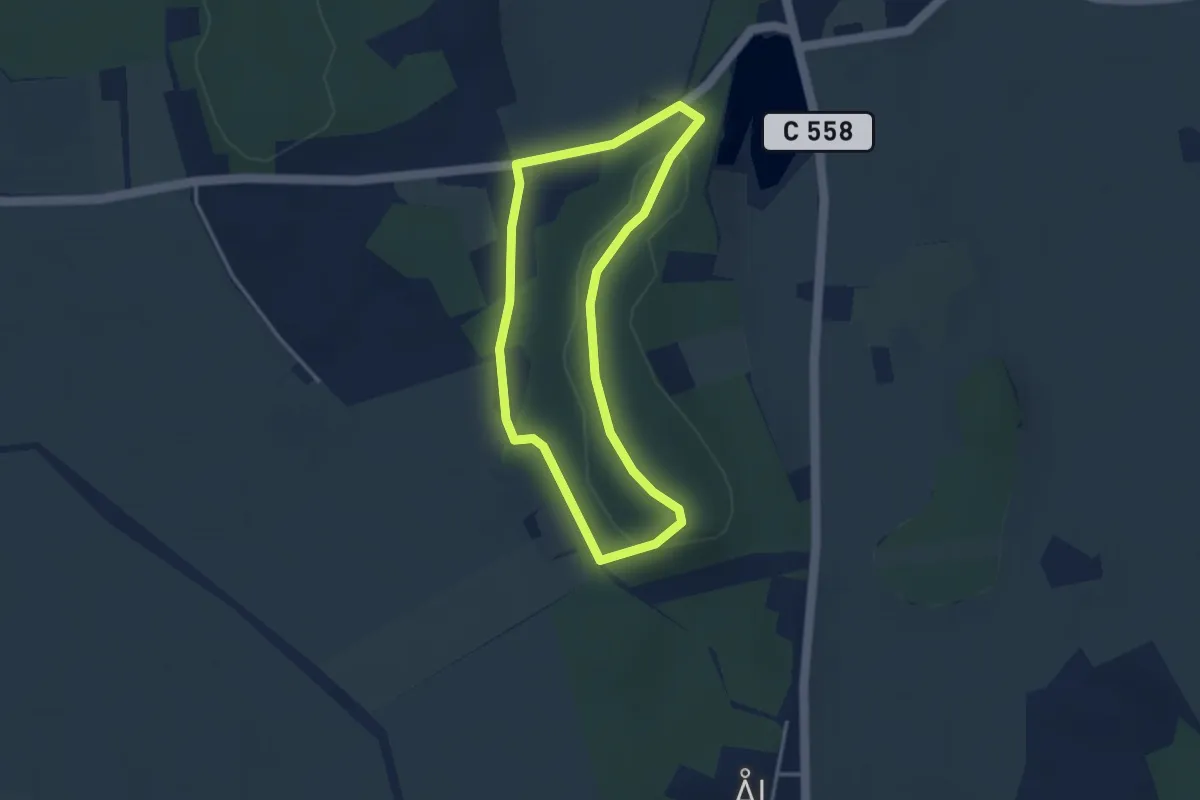
Easy · Trail
Upplandsleden, slinga 24:1 Äs puss
2.3 km · ↑ 27 m · 39 min
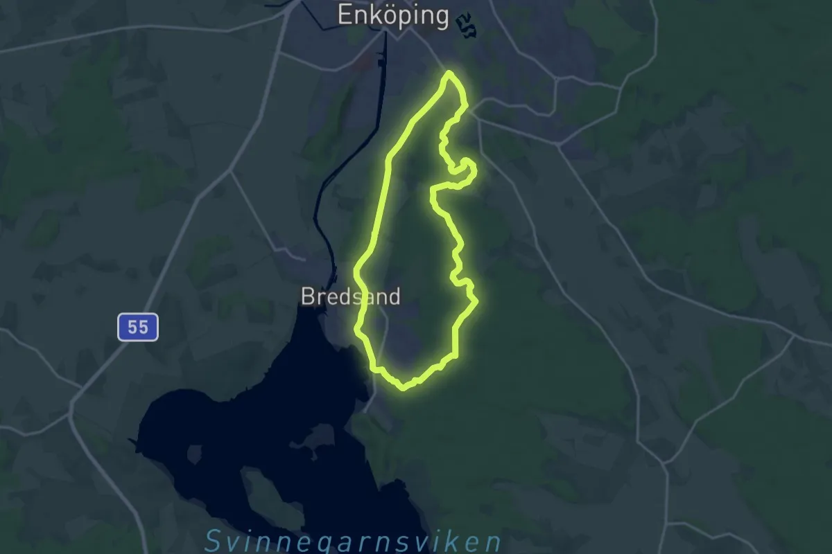
Medium · Trail
Upplandsleden, slinga 25:1 Bredsand
12.1 km · ↑ 70 m · 3 h 10 min
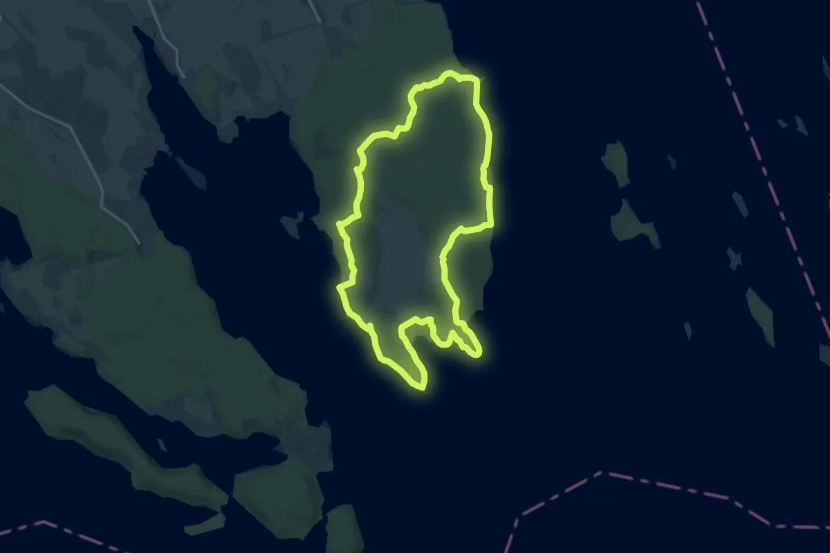
Medium · Trail
Upplandsleden, slinga 28:1, Härjaröslingan
11.8 km · ↑ 104 m · 3 h 11 min
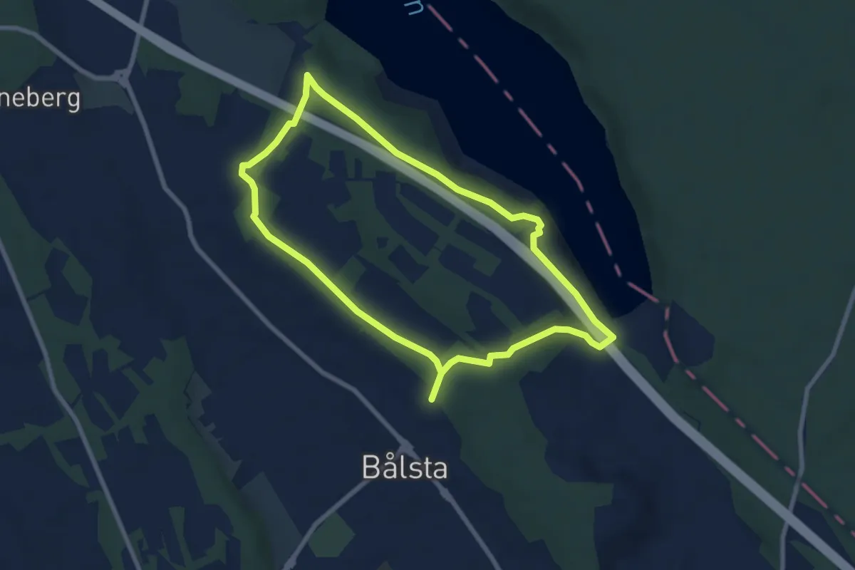
Easy · Trail
Upplandsleden, slinga 29:1, Björkbacka
5.0 km · ↑ 70 m · 1 h 24 min
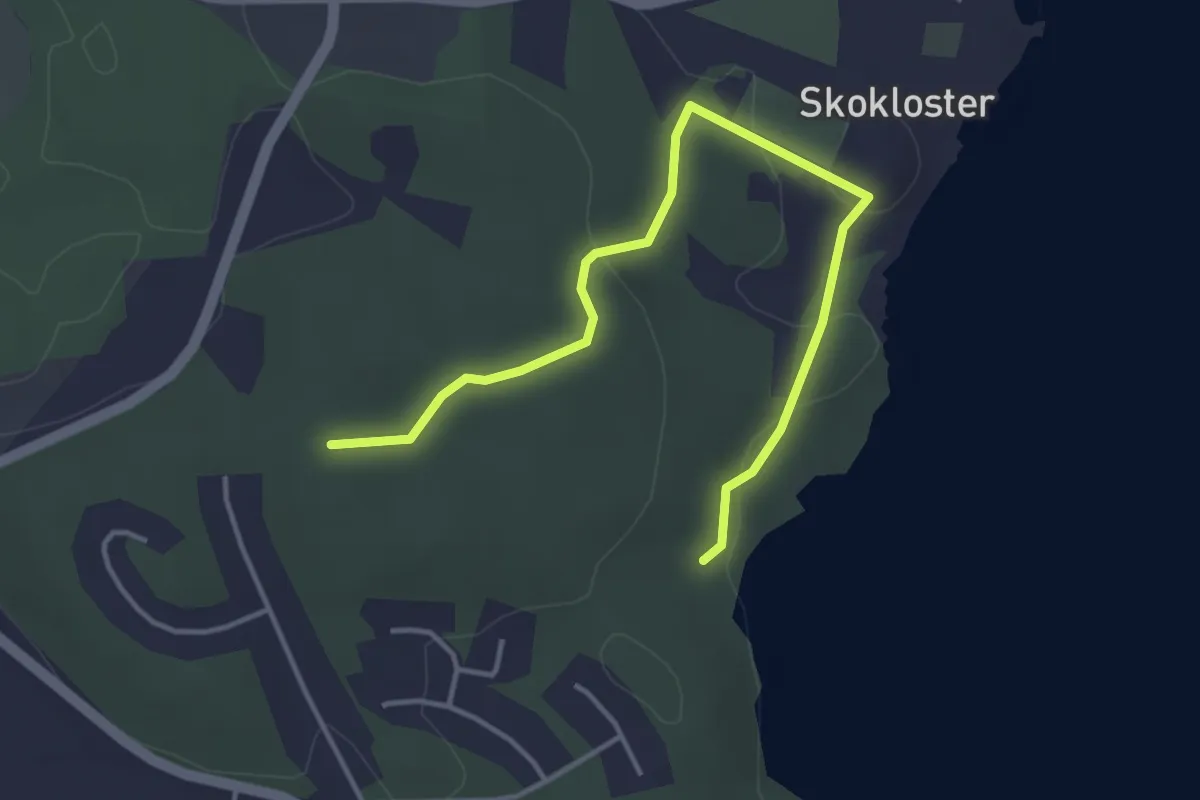
Easy · Trail
Upplandsleden, slinga 30:1, Stenhuggarslingan
1.7 km · ↑ 37 m · 29 min
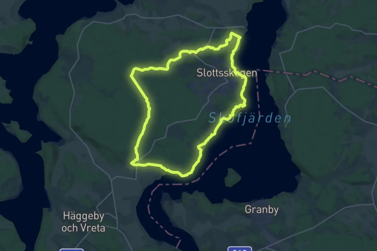
Medium · Trail
Upplandsleden, slinga 31:1, Skokloster
14.4 km · ↑ 135 m · 3 h 54 min
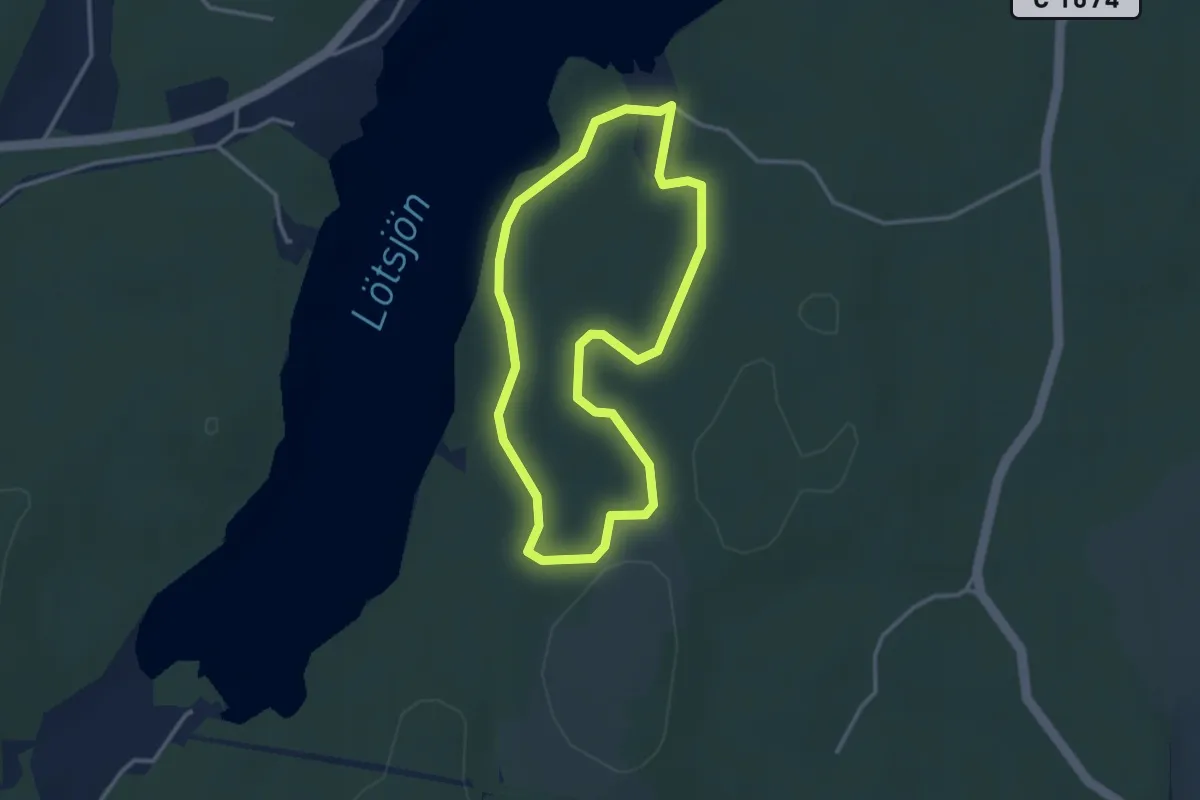
Easy · Trail
Upplandsleden, slinga 3:1 Borgardal
2.2 km · ↑ 14 m · 34 min
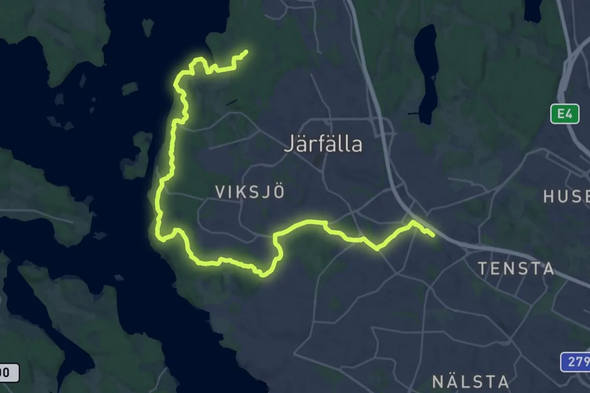
Demanding · Summit
Upplandsleden Stockholms län etapp 1
30.2 km · ↑ 329 m · 7 h 51 min
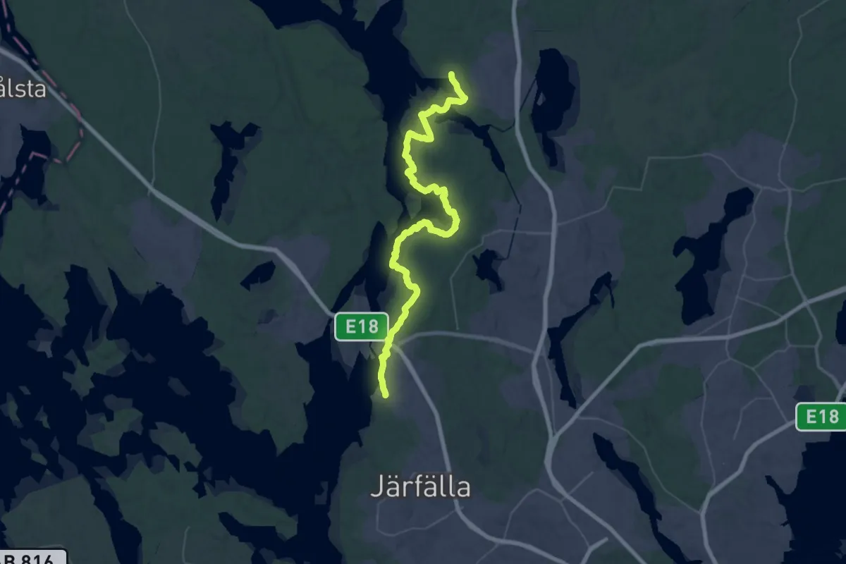
Demanding · Trail
Upplandsleden Stockholms län etapp 2
22.9 km · ↑ 252 m · 6 h 17 min
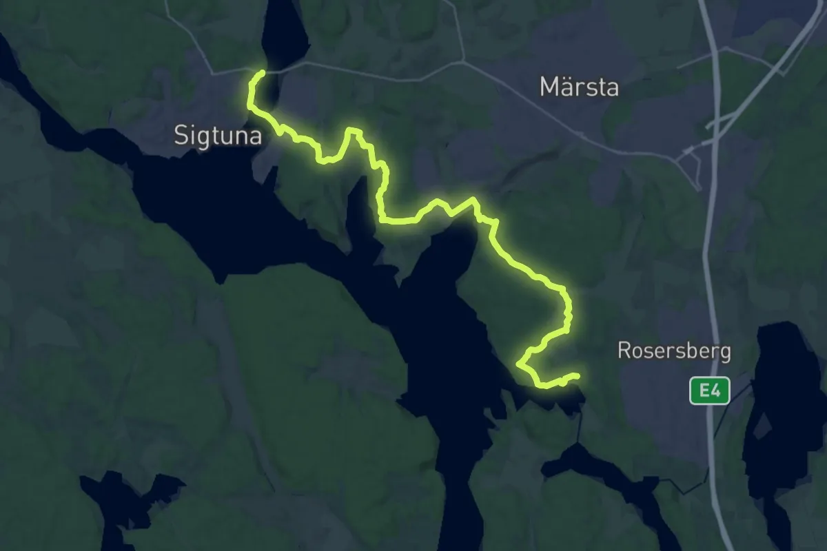
Demanding · Trail
Upplandsleden Stockholms län etapp 3
30.6 km · ↑ 343 m · 7 h 58 min
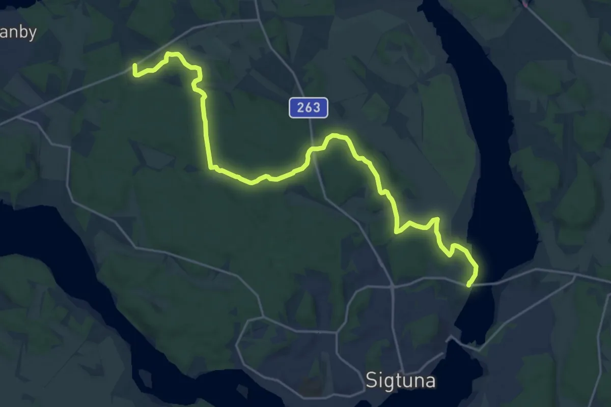
Medium · Trail
Upplandsleden Stockholms län etapp 4
16.6 km · ↑ 185 m · 4 h 20 min
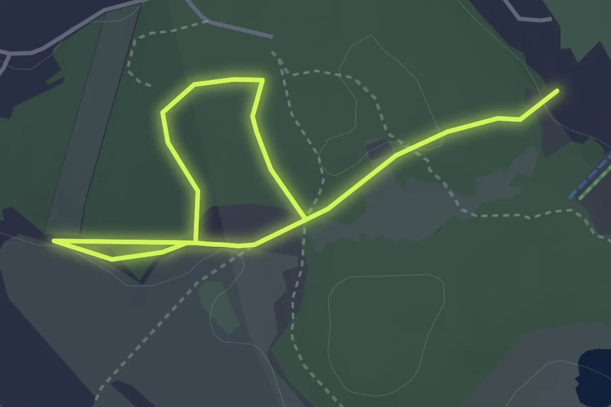
Easy · Trail
Upplevelsestigen
3.8 km · ↑ 39 m · 59 min
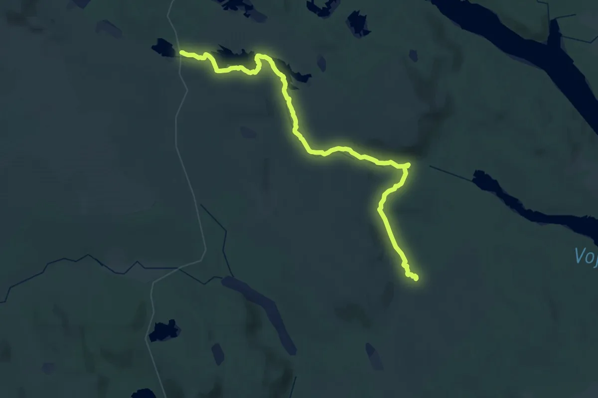
Demanding · Trail
Urskogsleden
26.1 km · ↑ 652 m · 7 h 57 min
Easy · Trail
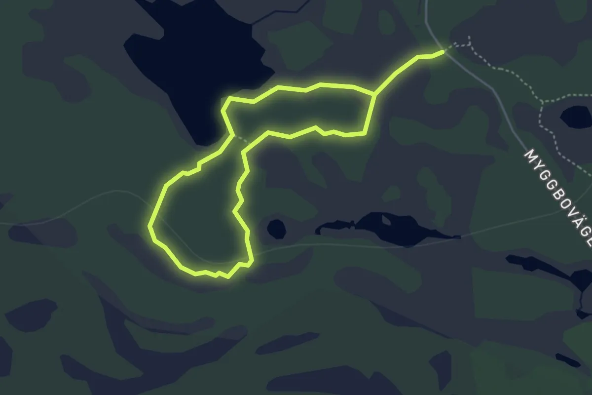
Urskogslingan
2.4 km · ↑ 18 m · 39 min
Easy · Trail
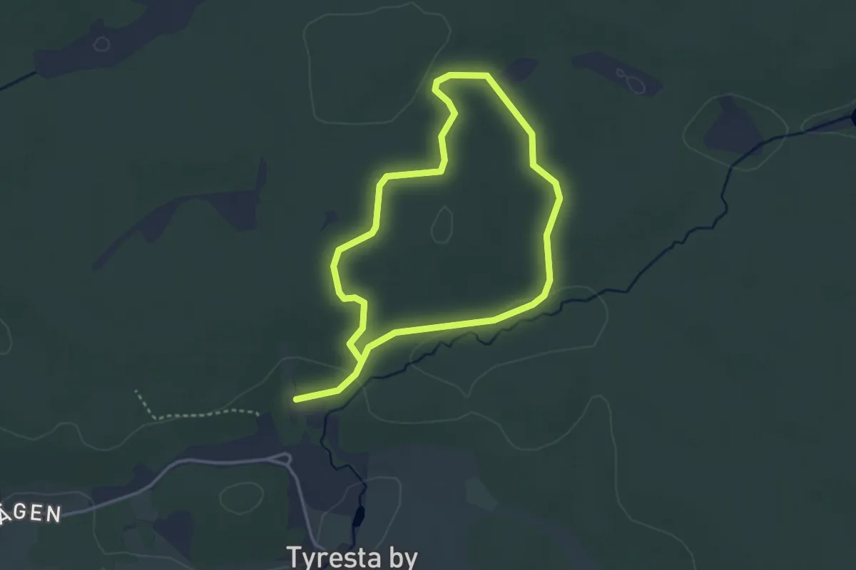
Urskogsstigen
2.2 km · ↑ 13 m · 35 min
Medium · Summit
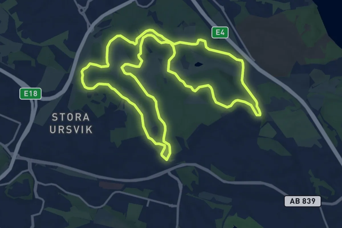
Ursvik 10 km
9.9 km · ↑ 141 m · 2 h 46 min
Medium · Summit
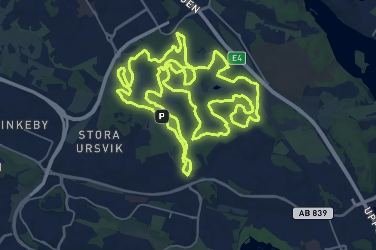
Ursvik 15 km Xtreme
15.0 km · ↑ 215 m · 4 h 13 min
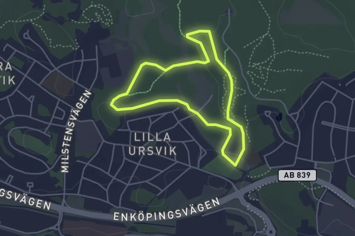
Easy · Trail
Ursvik 2.5 km
2.6 km · ↑ 39 m · 43 min
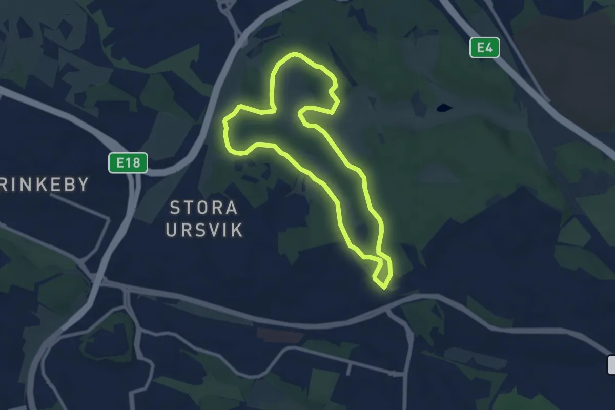
Easy · Trail
Ursvik 5 km
5.0 km · ↑ 68 m · 1 h 24 min
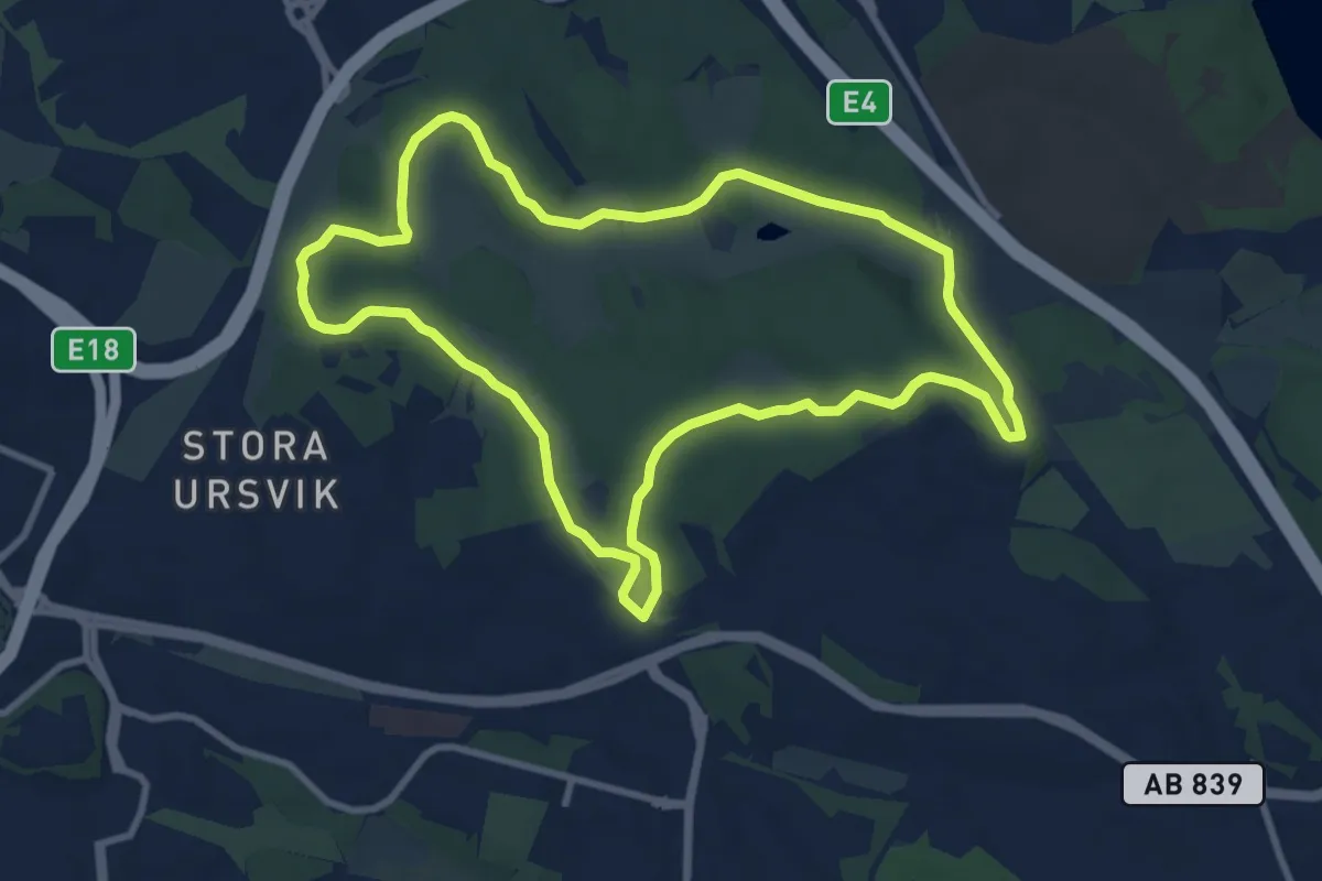
Easy · Trail
Ursvik 7 km
7.2 km · ↑ 80 m · 1 h 58 min
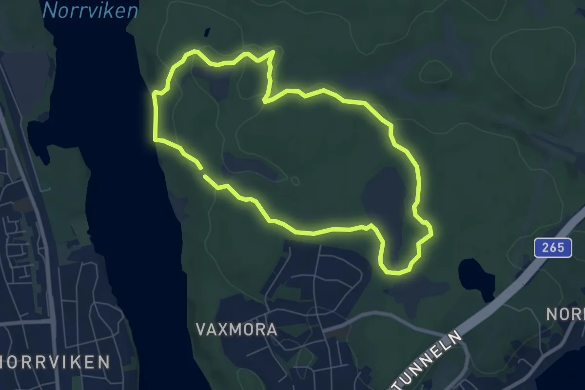
Easy · Trail
Urtid-Istid-Nutid
4.7 km · ↑ 61 m · 1 h 19 min
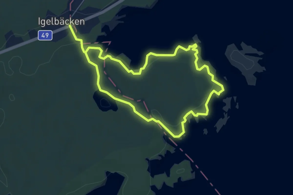
Easy · Trail
Utnäset-Uvviken
7.6 km · ↑ 114 m · 2 h 3 min
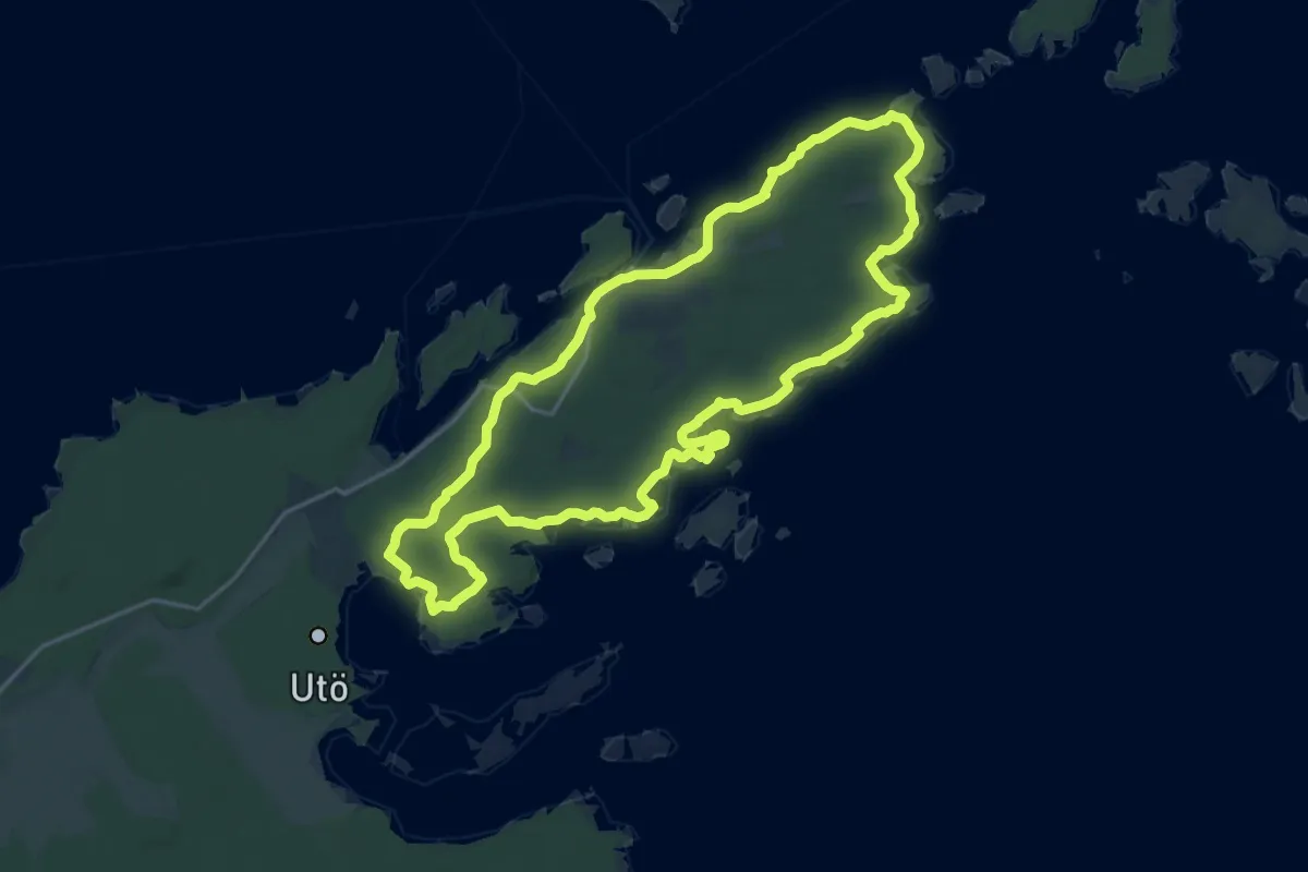
Medium · Trail
Utö runt
14.9 km · ↑ 115 m · 3 h 58 min
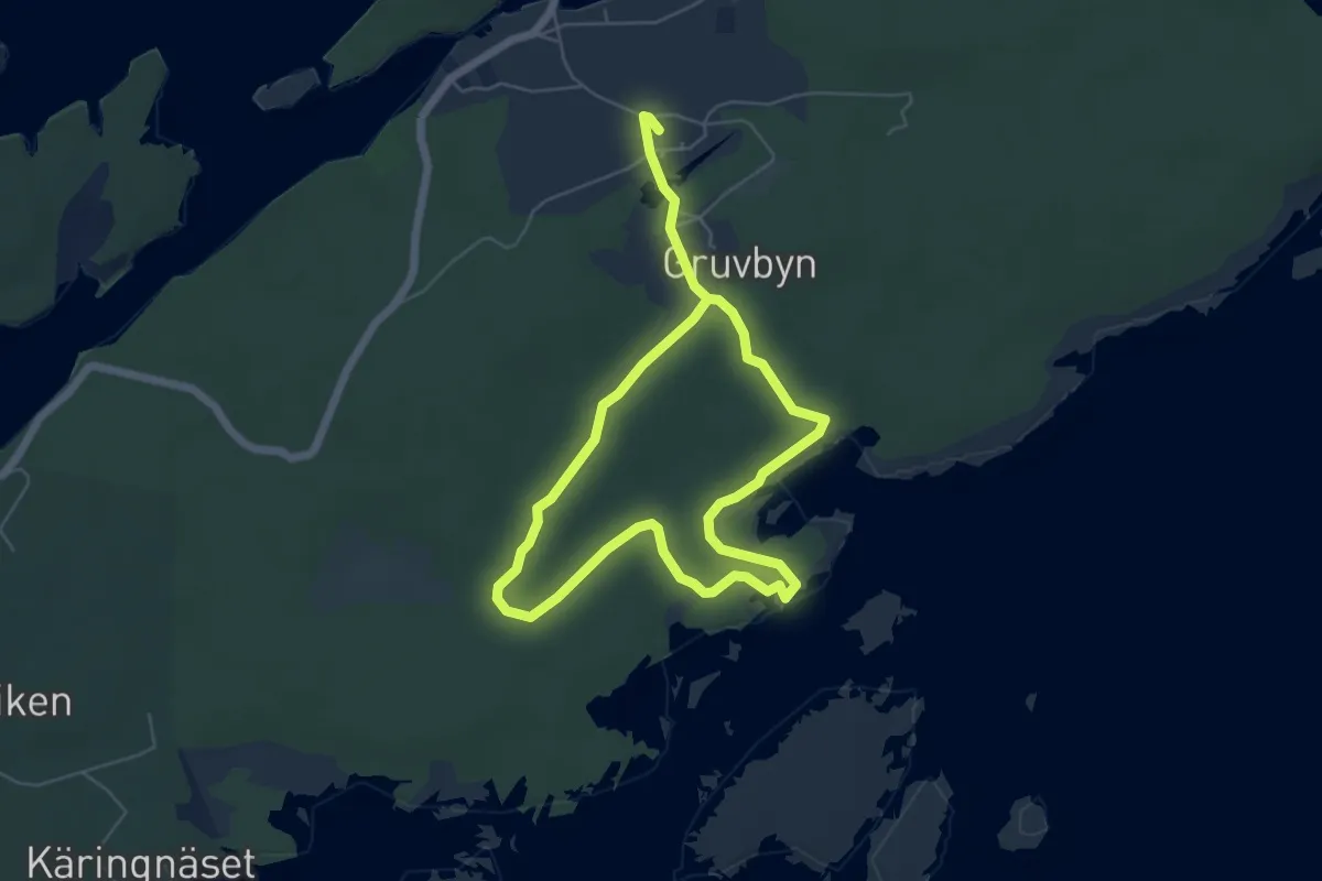
Easy · Trail
Utöstigen
7.2 km · ↑ 43 m · 1 h 48 min
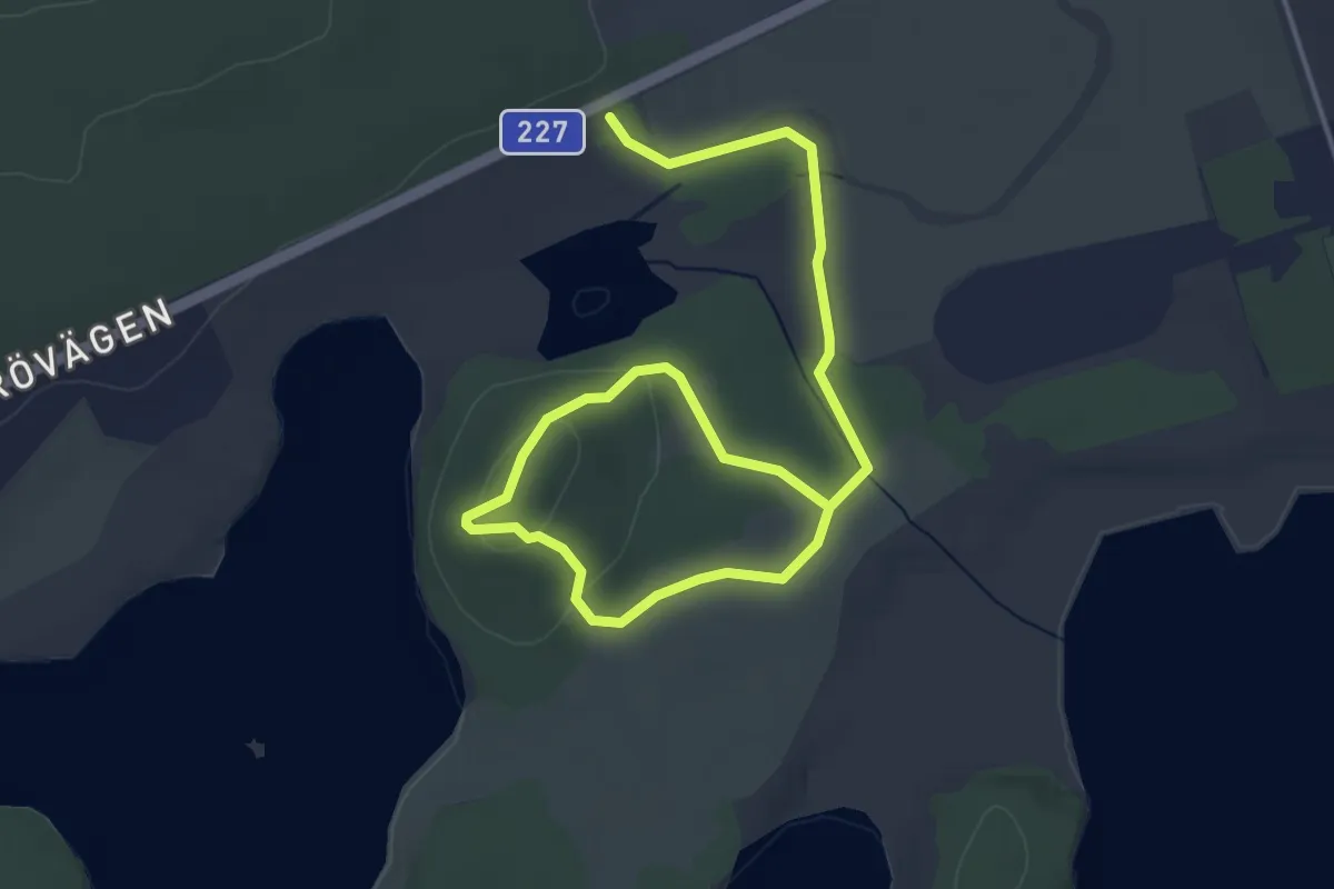
Easy · Trail
Utsiktsplatsen
2.2 km · ↑ 37 m · 39 min
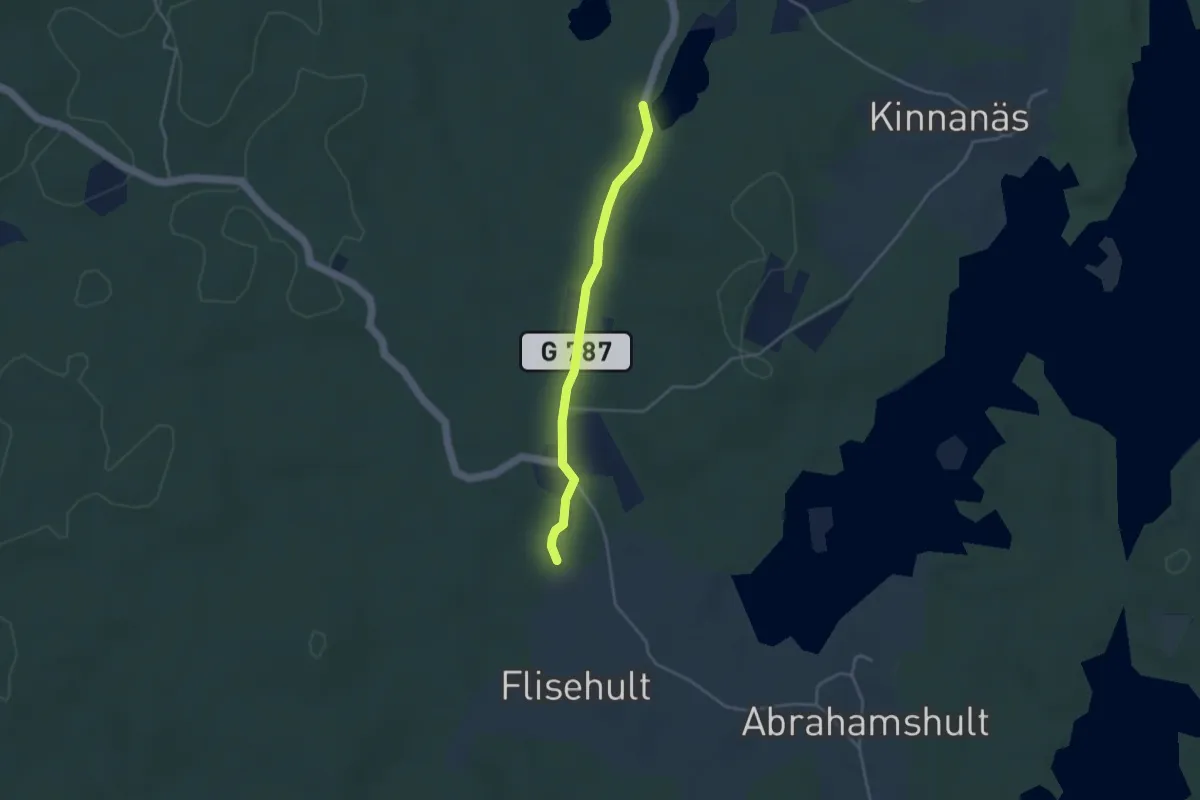
Easy · Trail
Utvandrarleden, avstickare till Kulagölen och vindskydd Åskefällalund
2.7 km · ↑ 17 m · 40 min
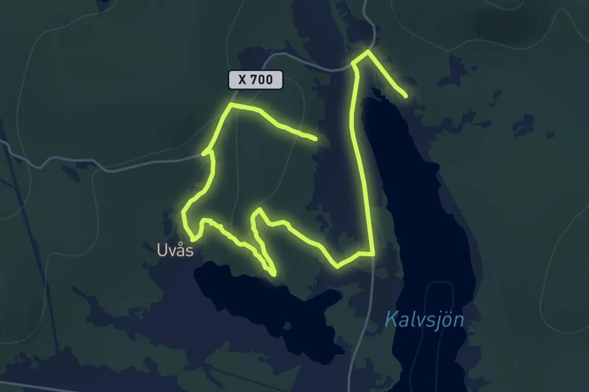
Medium · Summit
Uvåsberget 12.6km
11.3 km · ↑ 337 m · 3 h 34 min
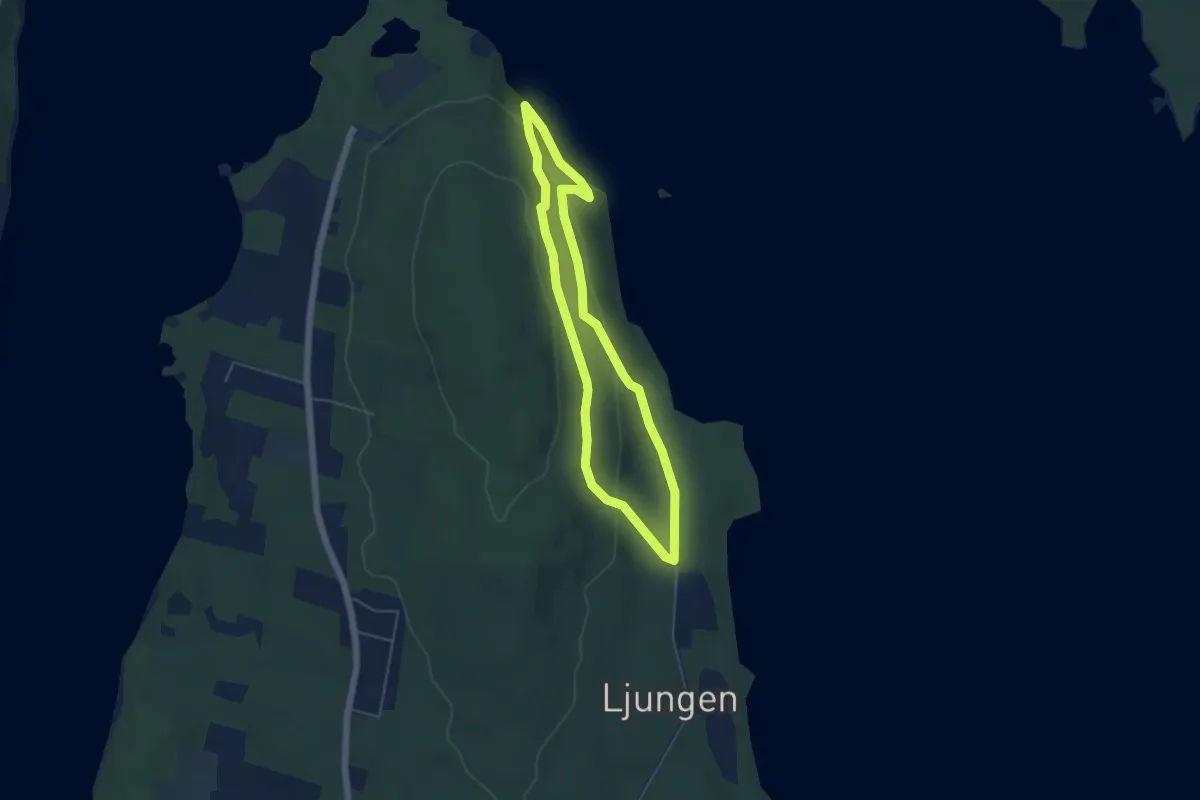
Easy · Trail
Vägghallarundan
3.6 km · ↑ 113 m · 1 h 10 min
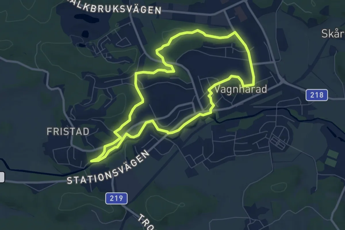
Easy · Trail
Vagnhärad runt
5.8 km · ↑ 56 m · 1 h 34 min
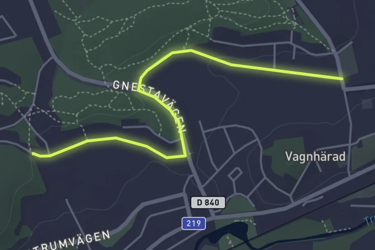
Easy · Trail
Vagnhärad runt, genväg
3.5 km · ↑ 39 m · 55 min
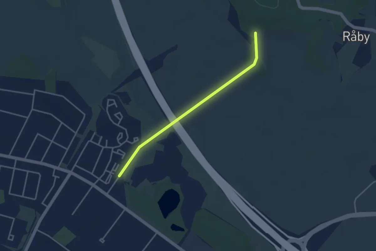
Easy · Trail
Vaksalavandringen
2.1 km · ↑ 13 m · 32 min
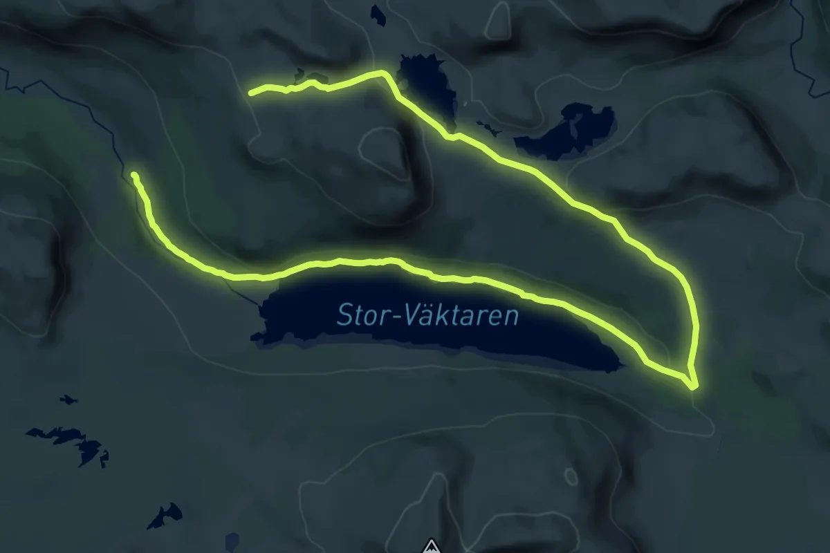
Demanding · Trail
Väktardalen
18.5 km · ↑ 474 m · 5 h 30 min
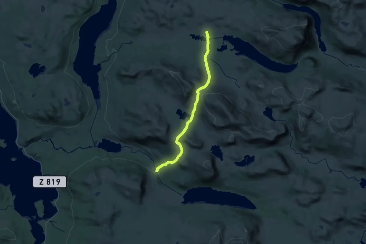
Medium · Trail
Väktarmon - Sielken
12.2 km · ↑ 413 m · 4 h 4 min
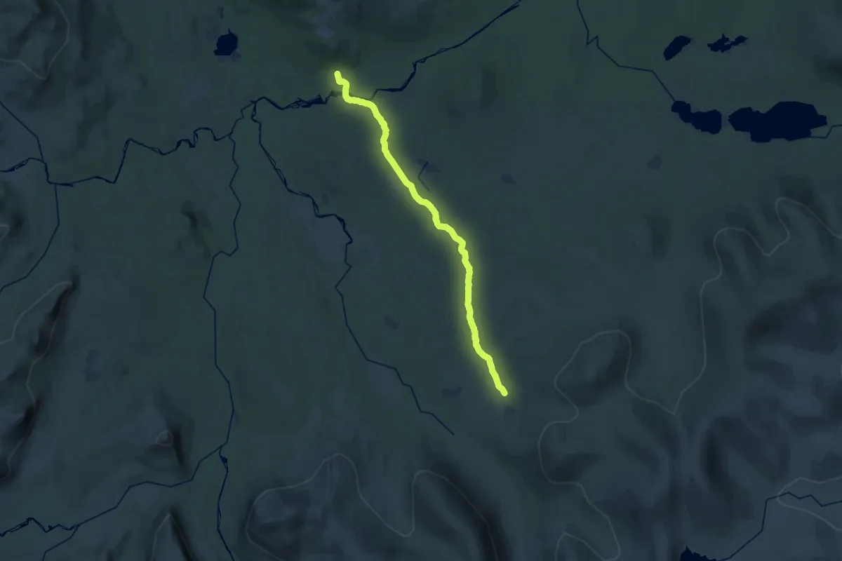
Demanding · Cabin
Vålådalen - Lunndörren sommarled
11.9 km · ↑ 1130 m · 5 h 19 min
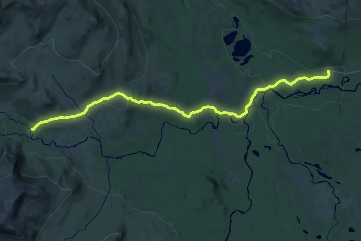
Demanding · Cabin
Vålådalen - Stensdalen sommarled
27.1 km · ↑ 421 m · 7 h 19 min
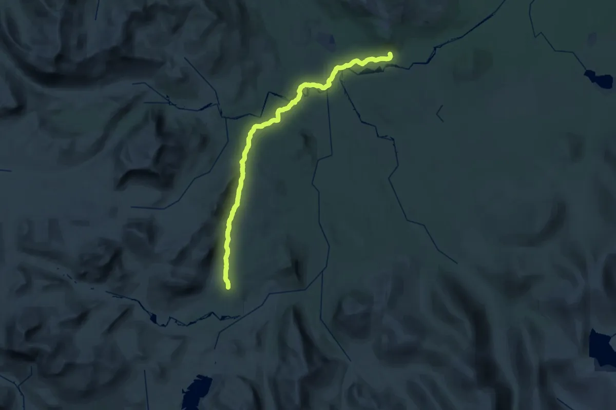
Demanding · Cabin
Vålådalen - Vålåstugorna sommarled
18.4 km · ↑ 379 m · 5 h 16 min
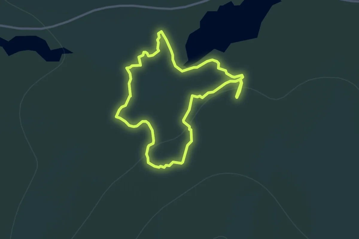
Easy · Trail
Vålbergsleden
5.2 km · ↑ 153 m · 1 h 38 min