Trails near Adliswil
580 hikes starting within 15 km, nearest first.
Nearest first, page 12 of 13
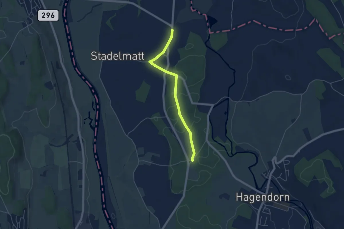
Easy · Trail
Bützen - Schachen Witi
4.5 km · ↑ 13 m · 1 h 5 min · 14 km away
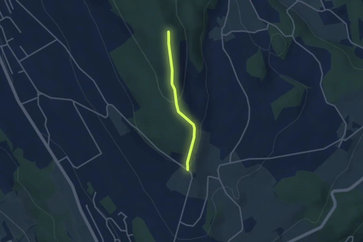
Easy · Trail
Hasenberg - Heitersberghöhe
2.1 km · ↑ 83 m · 41 min · 14 km away
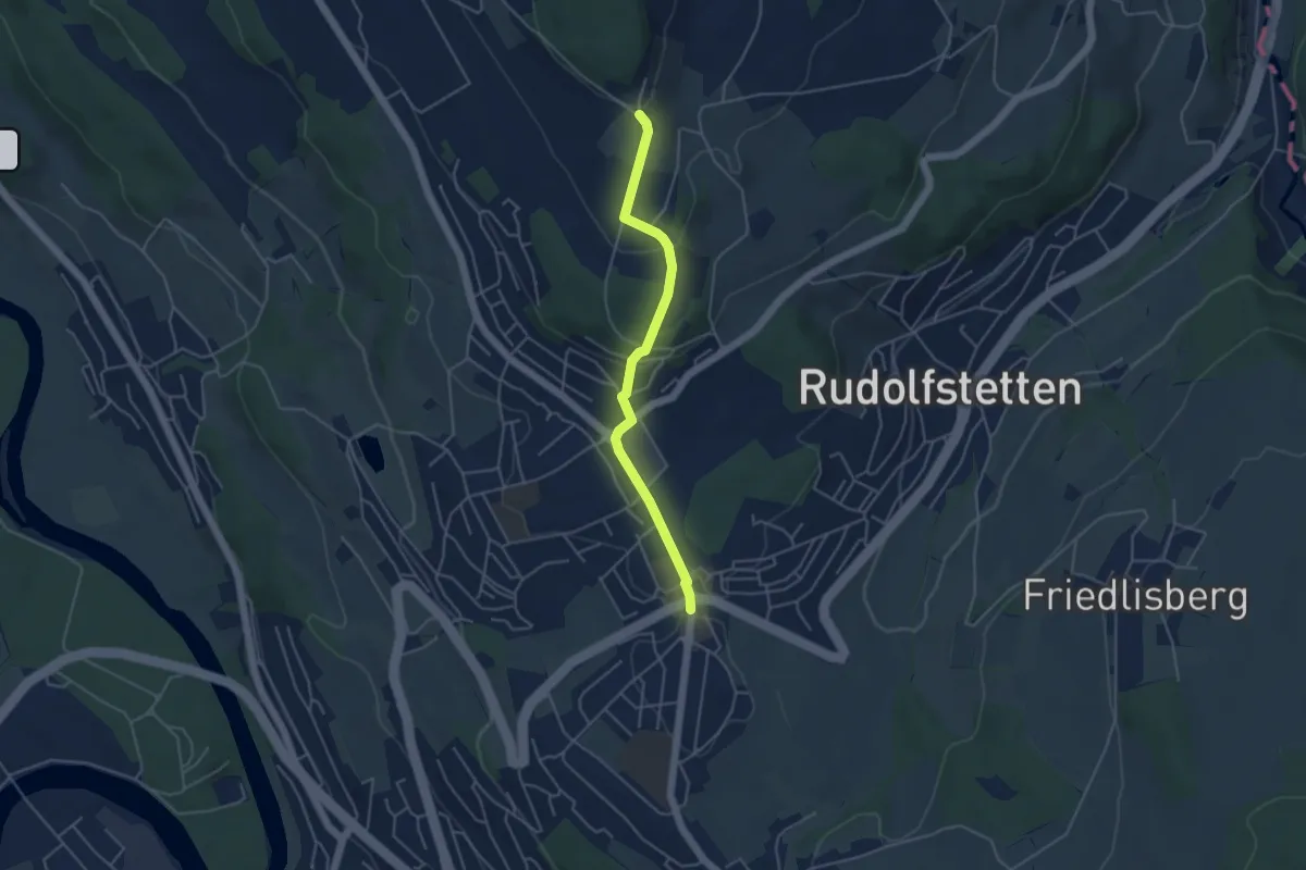
Easy · Trail
Berikon Widen - Hasenberg
4.2 km · ↑ 144 m · 1 h 18 min · 14 km away
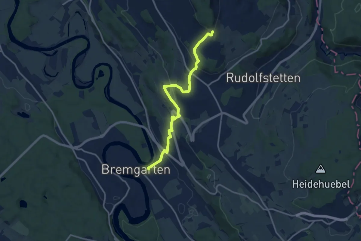
Medium · Trail
Bremgarten - Hasenberg
9.6 km · ↑ 346 m · 3 h 1 min · 14 km away
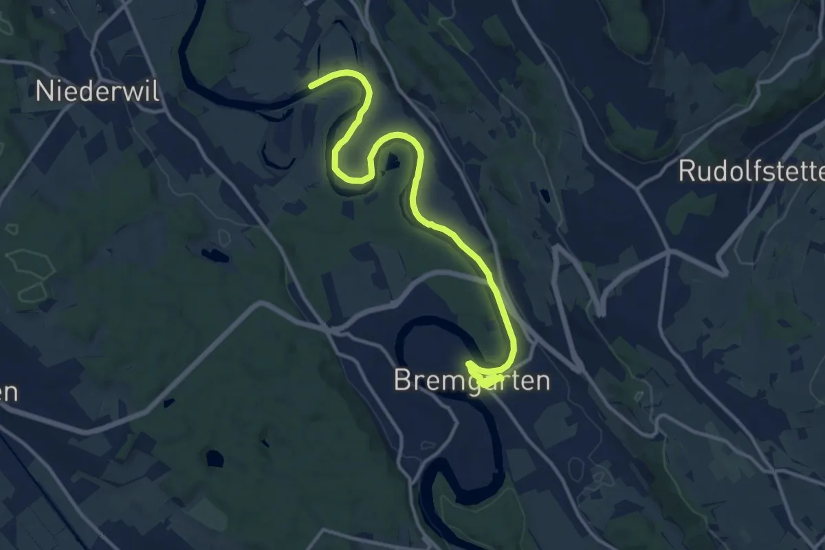
Medium · Trail
Sulz Fähre - Bremgarten
12.8 km · ↑ 73 m · 3 h 11 min · 14 km away
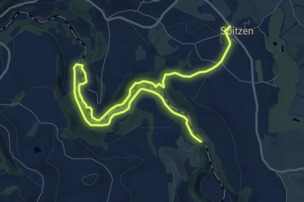
Medium · Trail
Spitzen-Sihlsprung
11.1 km · ↑ 218 m · 3 h 6 min · 14 km away
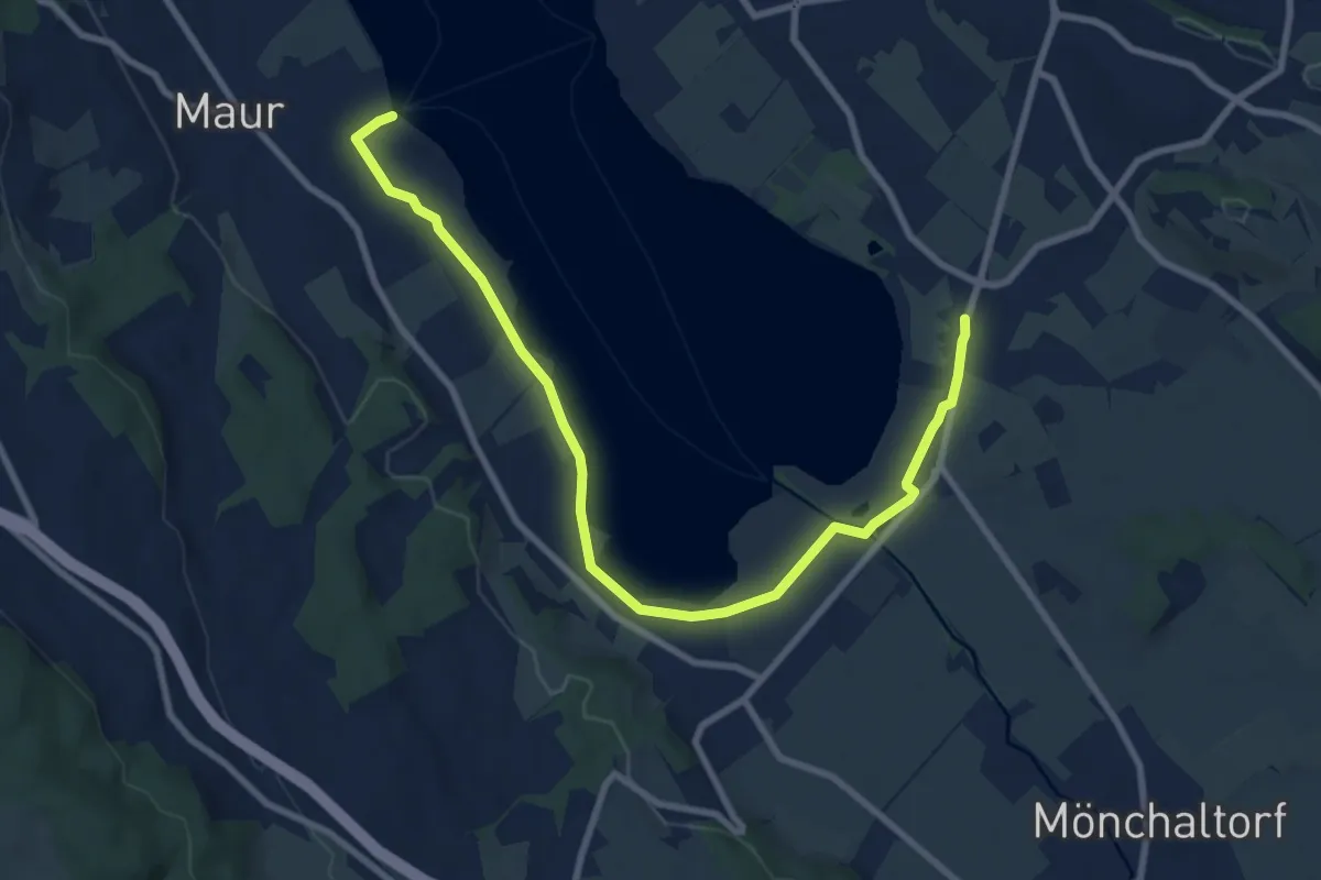
Medium · Trail
Riedikon - Maur Schifflände
9.8 km · ↑ 24 m · 2 h 22 min · 14 km away
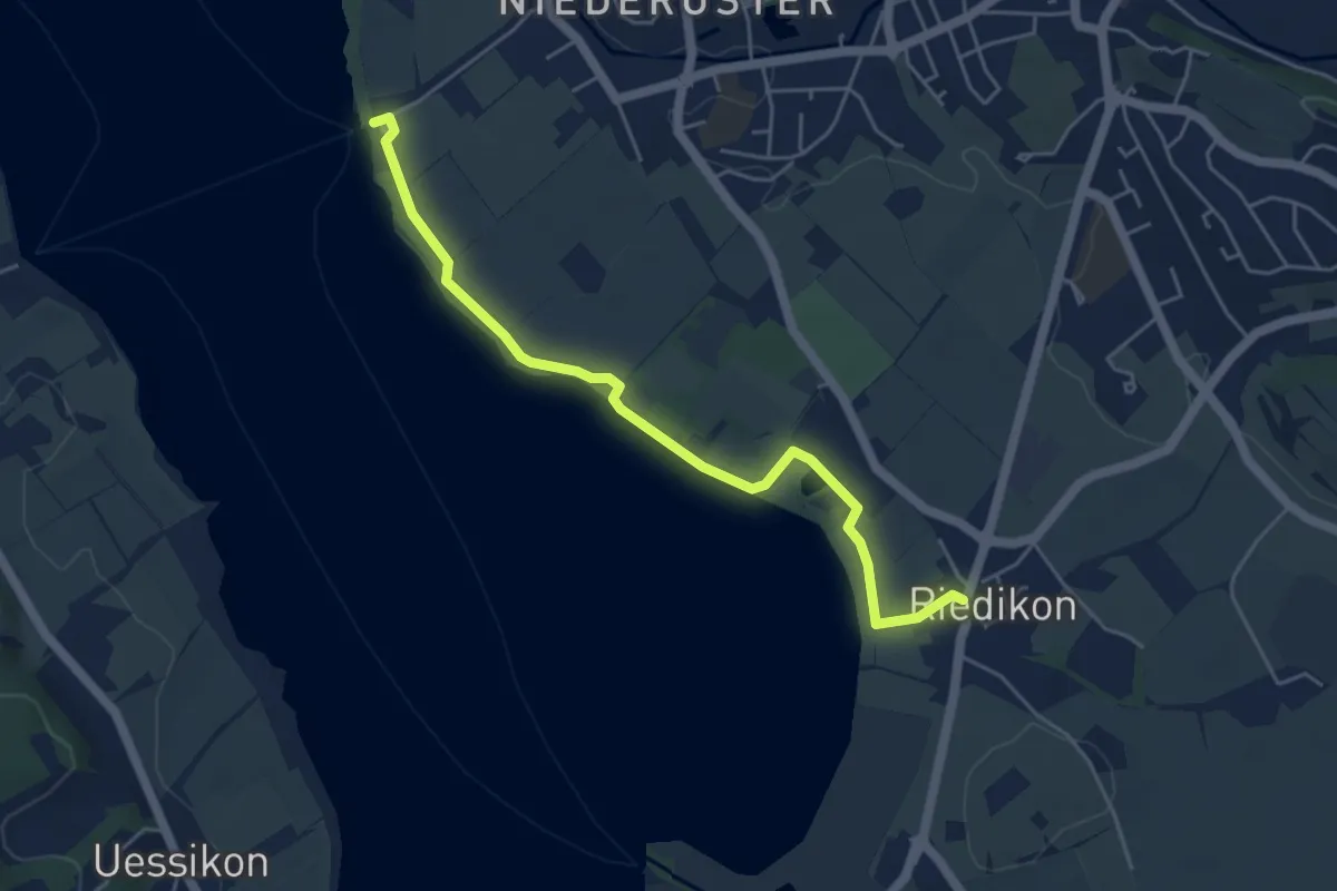
Easy · Trail
Niederuster – Riedikon
5.0 km · ↑ 13 m · 1 h 13 min · 14 km away
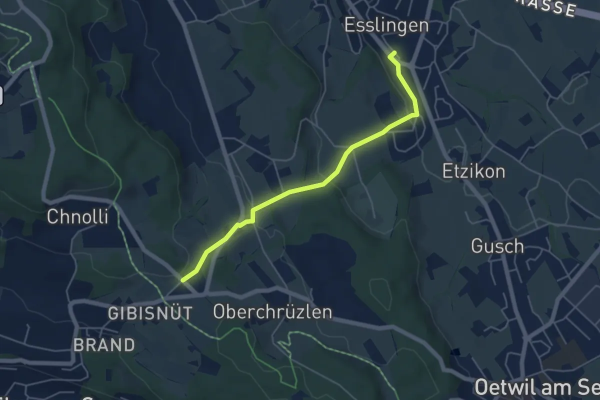
Easy · Trail
Esslingen – Gibisnüd
4.3 km · ↑ 161 m · 1 h 22 min · 14 km away
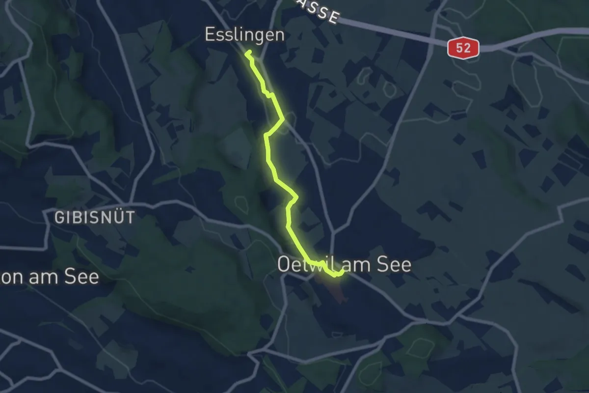
Easy · Trail
Esslingen – Oetwil
5.4 km · ↑ 60 m · 1 h 24 min · 14 km away
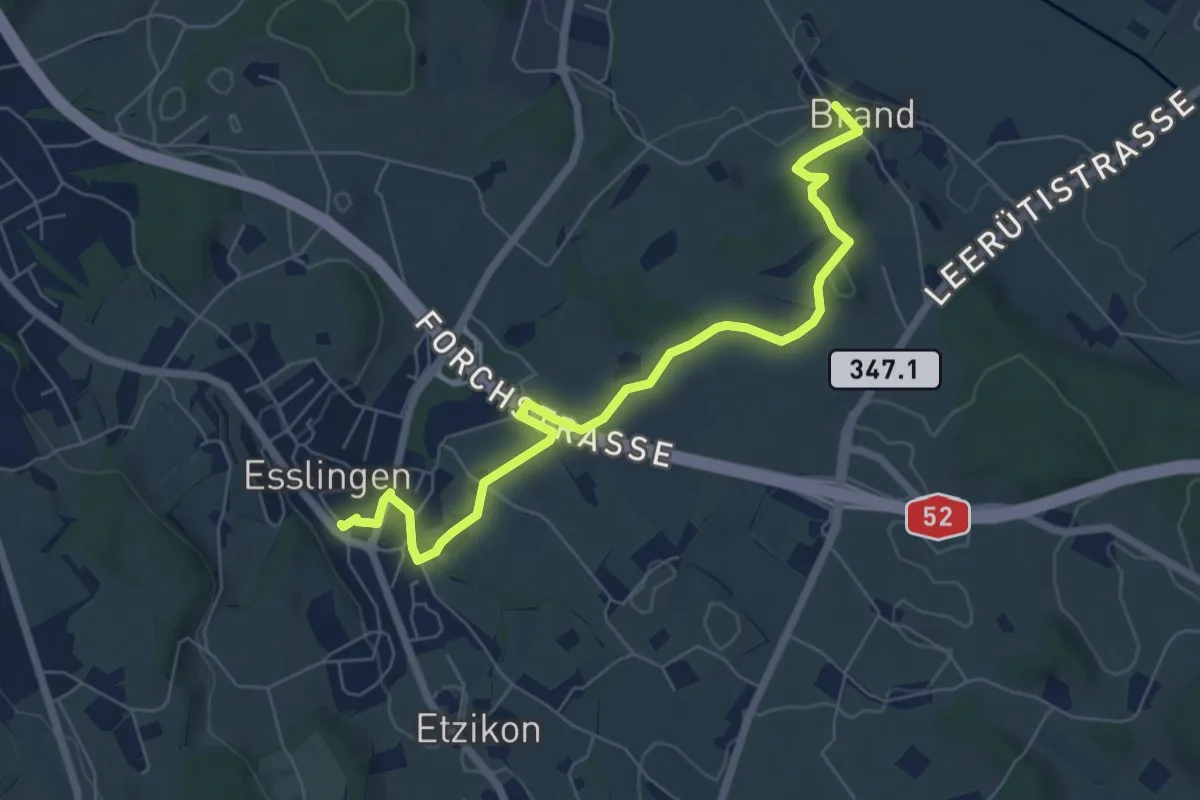
Easy · Trail
Brand – Esslingen
7.1 km · ↑ 77 m · 1 h 50 min · 14 km away
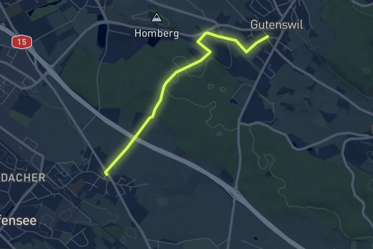
Easy · Trail
Nänikon - Gutenswil
5.8 km · ↑ 96 m · 1 h 35 min · 14 km away
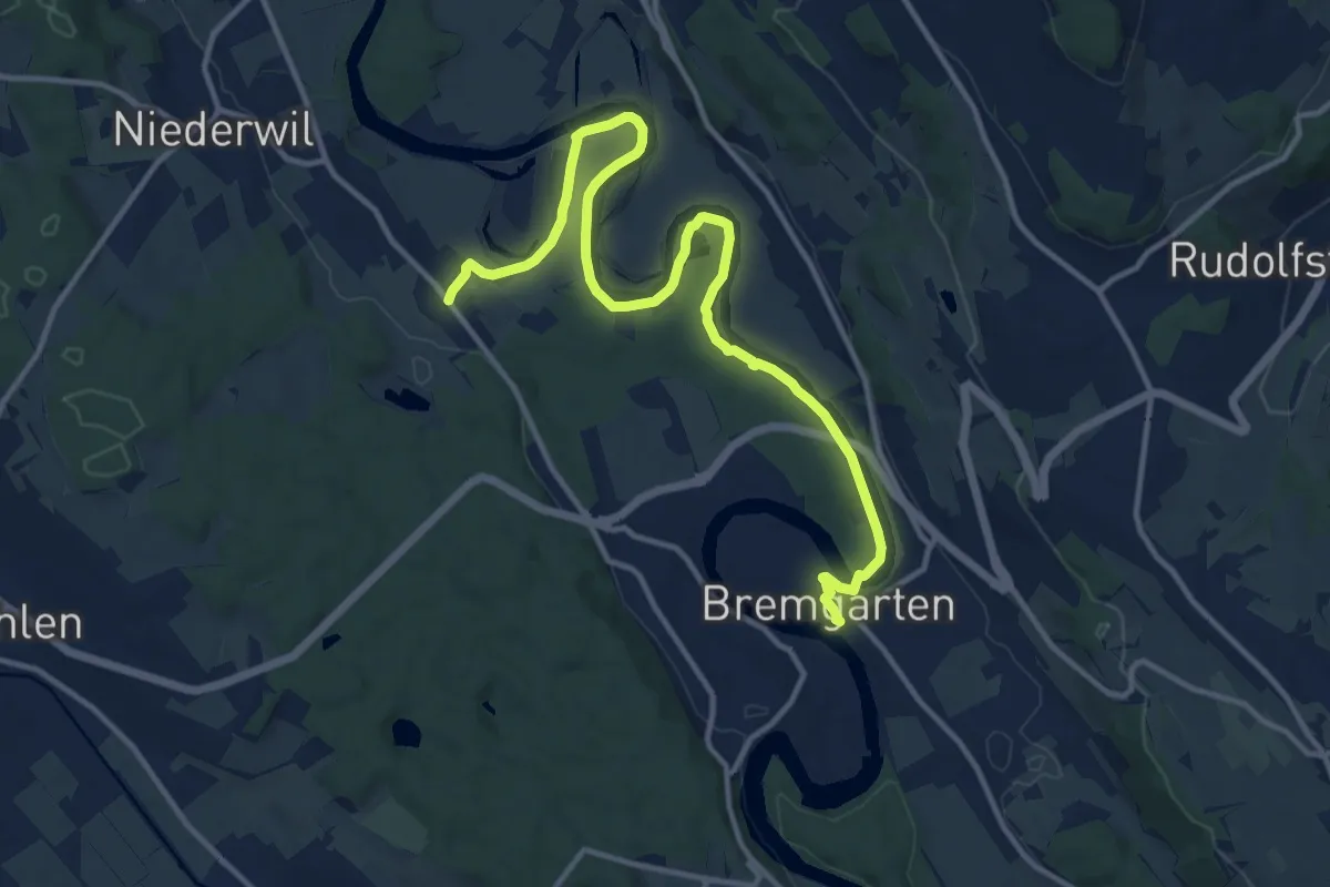
Medium · Trail
Bremgarten - Fischbach
14.7 km · ↑ 138 m · 3 h 47 min · 14 km away
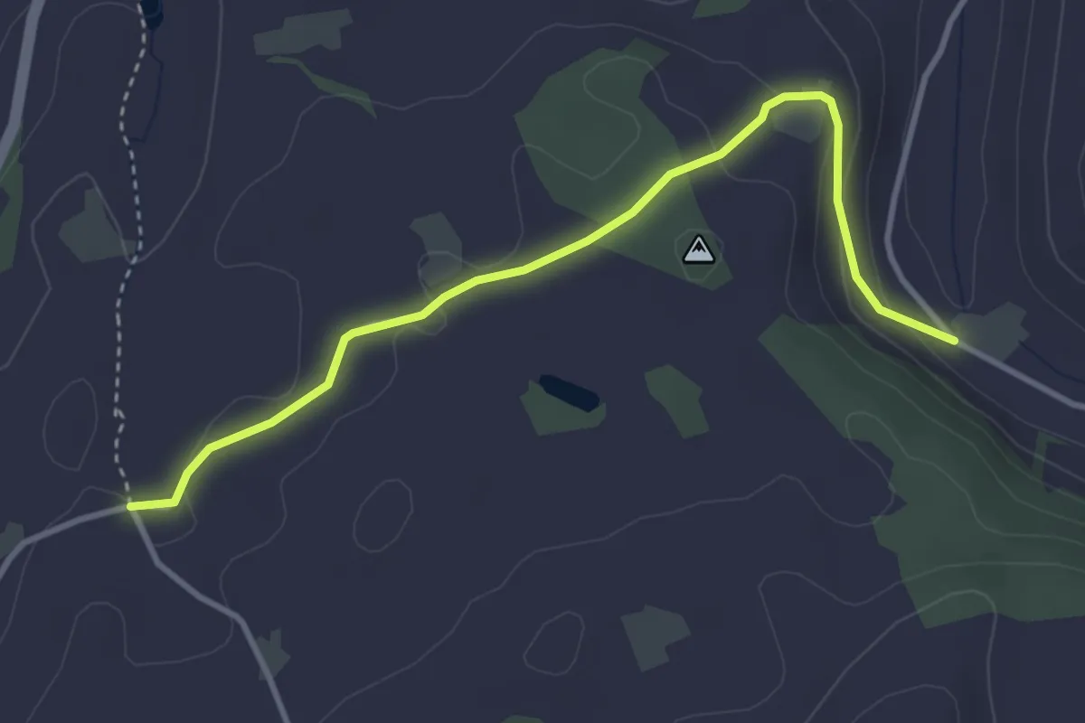
Easy · Trail
Lüthärtigen - Erlenbach
3.7 km · ↑ 97 m · 1 h 5 min · 14 km away
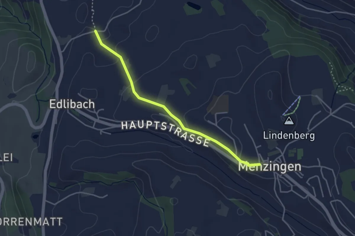
Easy · Trail
Lüthärtigen - Menzingen
3.2 km · ↑ 83 m · 57 min · 14 km away
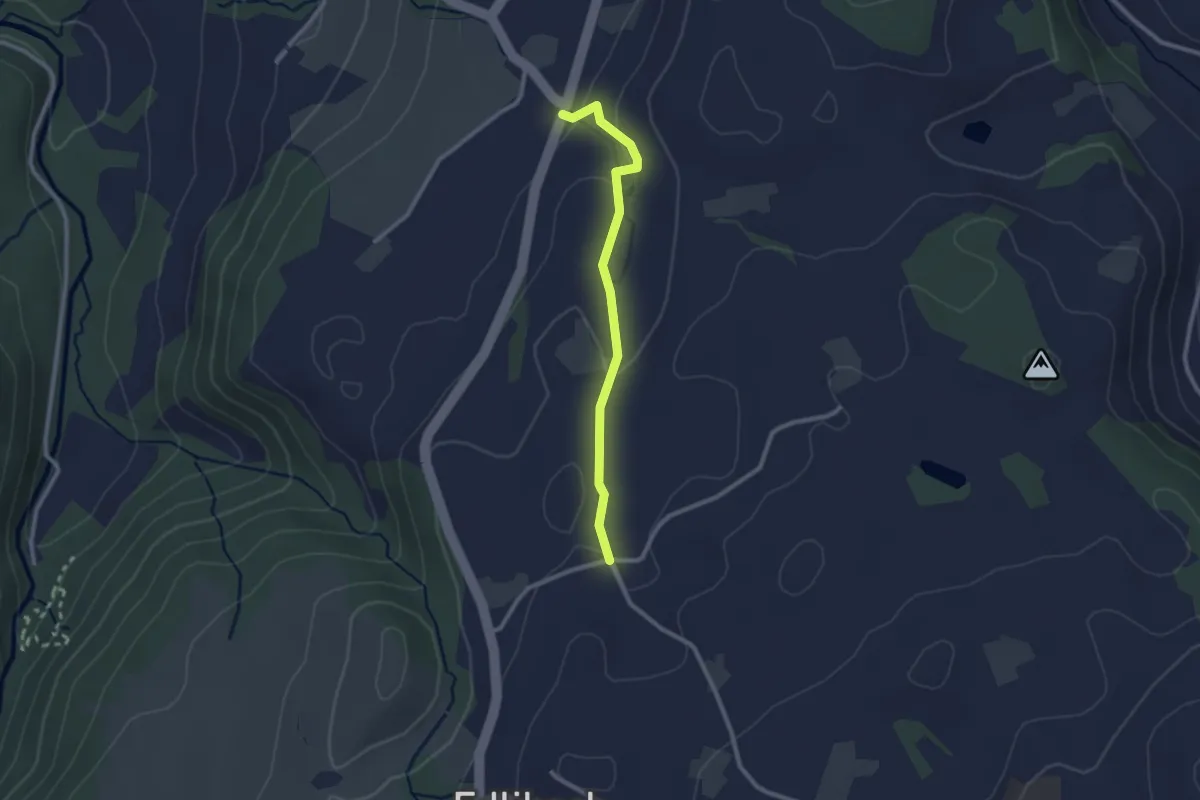
Easy · Trail
Lüthärtigen - Hinterburg-Müll
2.3 km · ↑ 62 m · 40 min · 14 km away
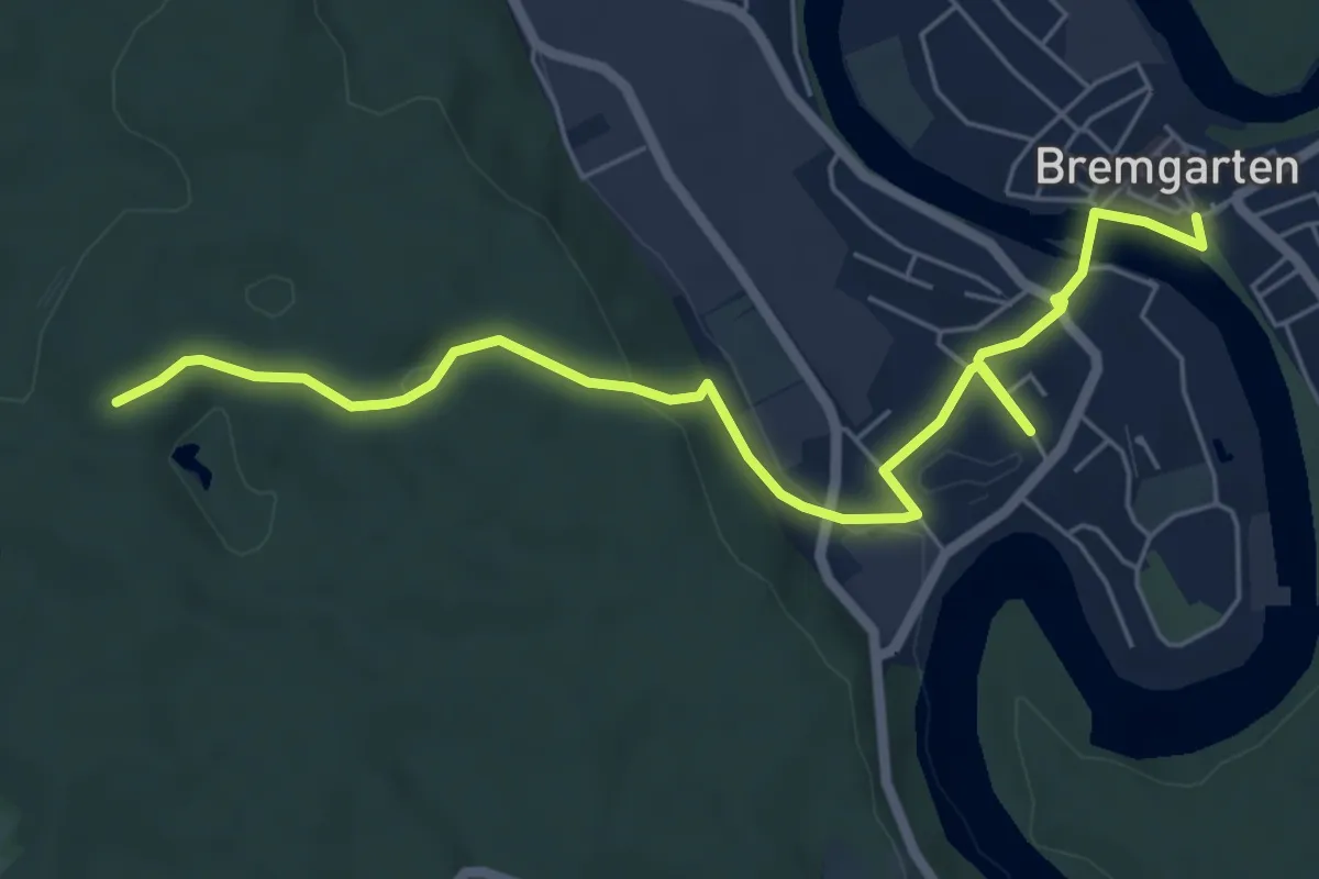
Easy · Trail
Bremgarten - Erdmannlistein
6.8 km · ↑ 137 m · 1 h 55 min · 14 km away
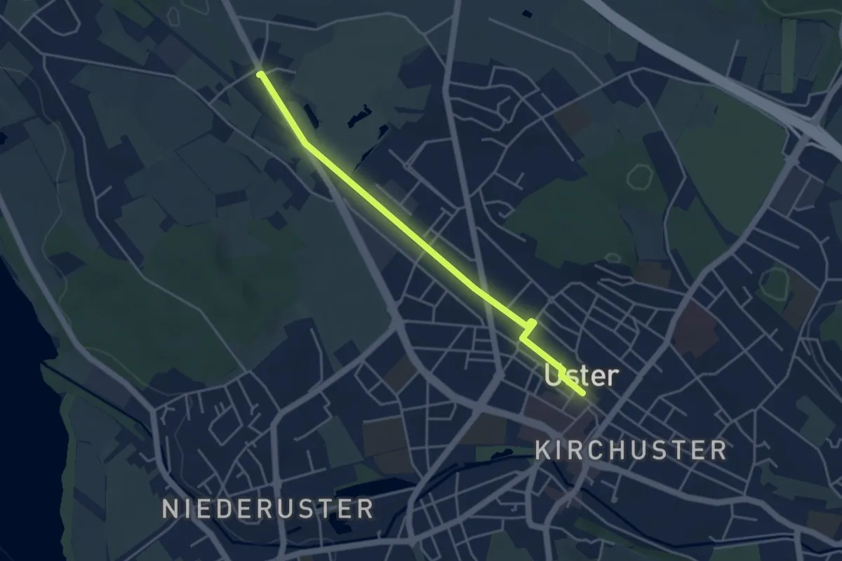
Easy · Trail
Werrikon - Uster
4.0 km · ↑ 8 m · 57 min · 14 km away
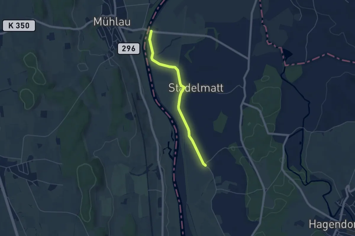
Easy · Trail
Brücke Mühlau - Unter Chamau
4.7 km · ↑ 4 m · 1 h 7 min · 14 km away
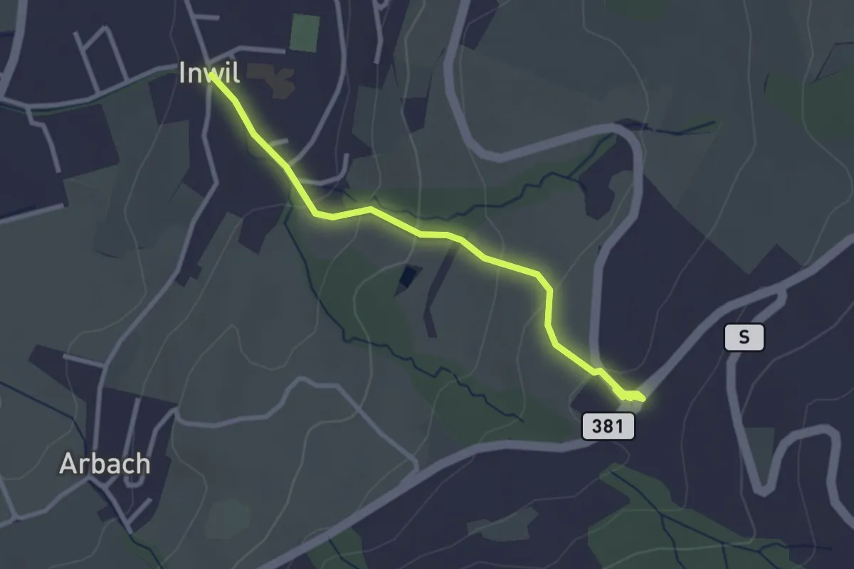
Easy · Trail
Inwil - Talacher
2.7 km · ↑ 119 m · 54 min · 14 km away
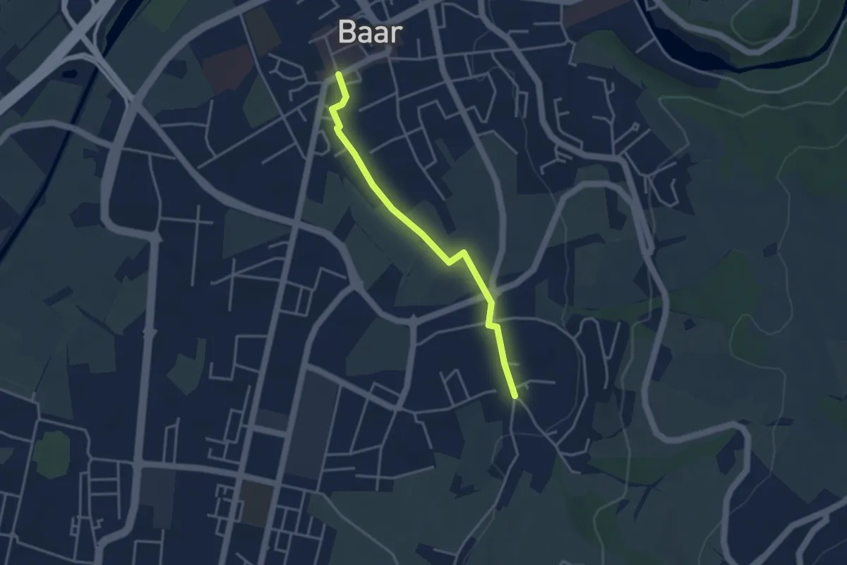
Easy · Trail
Baar Dorfstrasse - Inwil
3.3 km · ↑ 17 m · 48 min · 14 km away
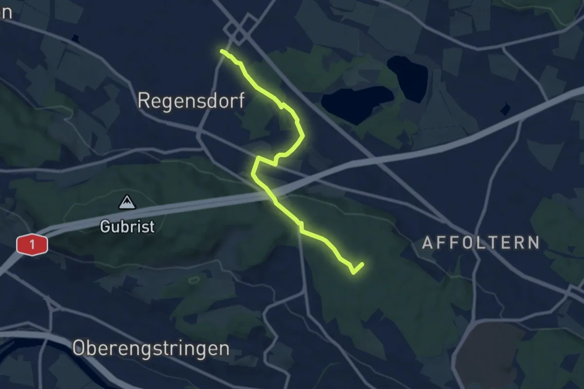
Easy · Summit
Regensdorf Bahnhof – Höngg
7.4 km · ↑ 126 m · 2 h 1 min · 14 km away
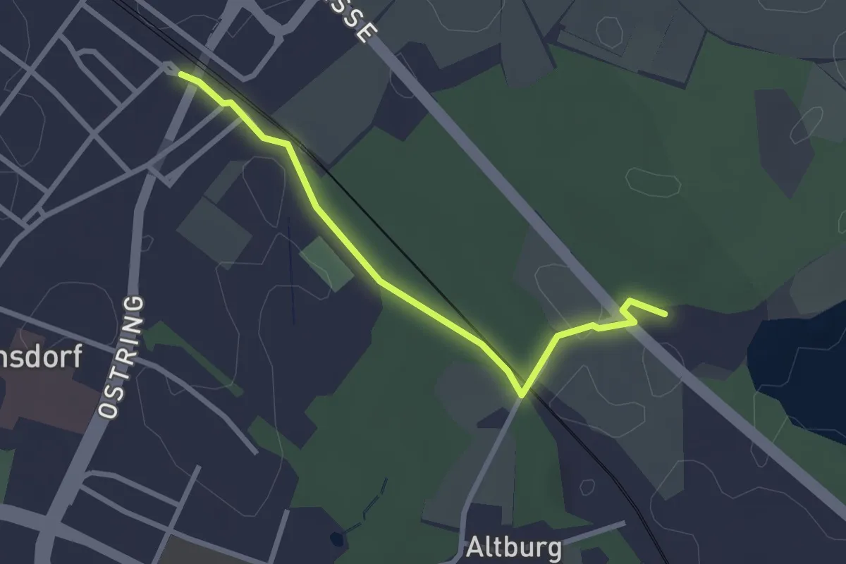
Easy · Trail
Regensdorf Bahnhof – Gut Katzensee
2.5 km · ↑ 17 m · 37 min · 14 km away
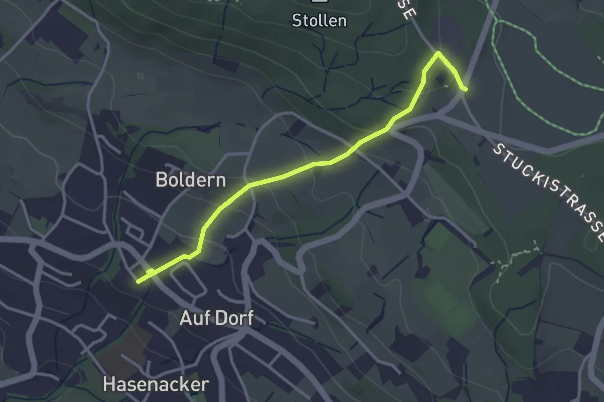
Easy · Trail
Stäfnertürli – Boldernstrasse
3.0 km · ↑ 158 m · 1 h 2 min · 14 km away
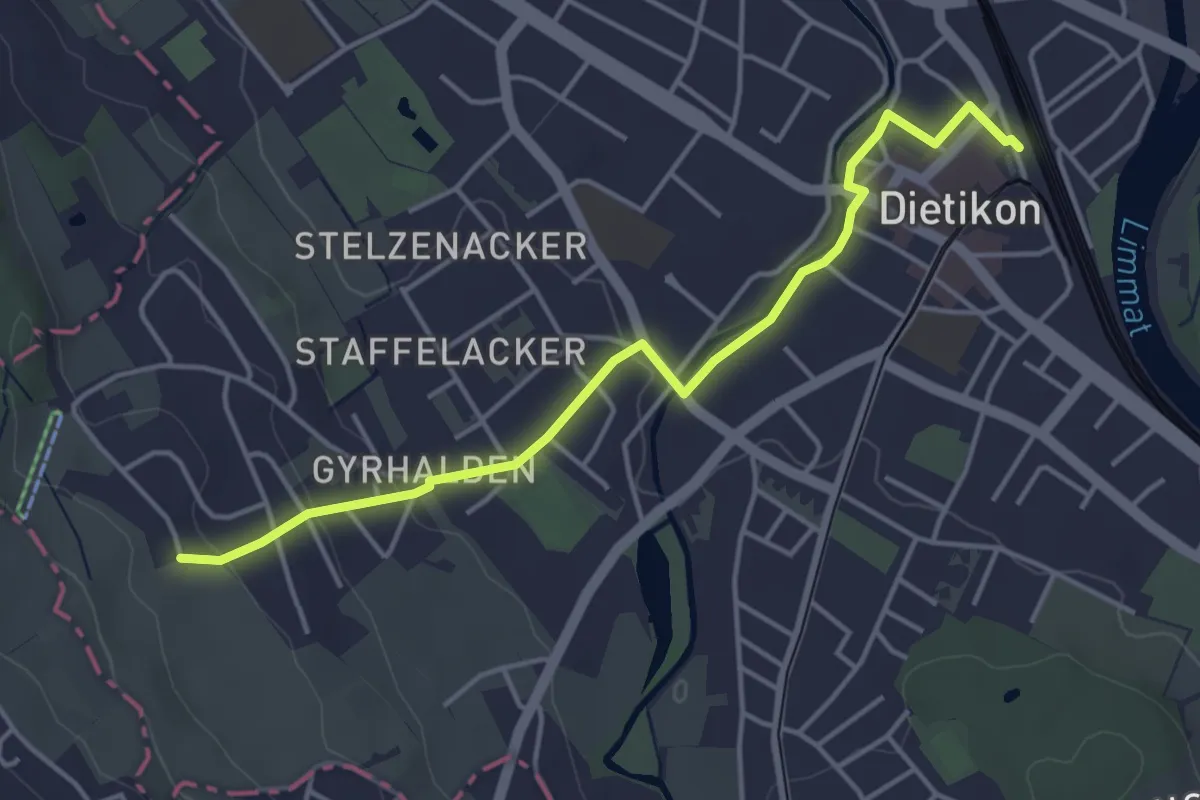
Easy · Trail
Dietikon - Rüteren
4.3 km · ↑ 80 m · 1 h 12 min · 14 km away
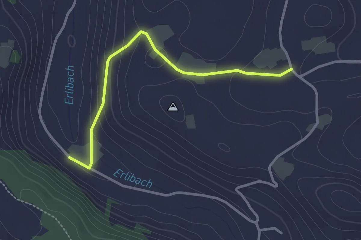
Easy · Trail
Blachen - Erlenbach
2.5 km · ↑ 87 m · 46 min · 14 km away
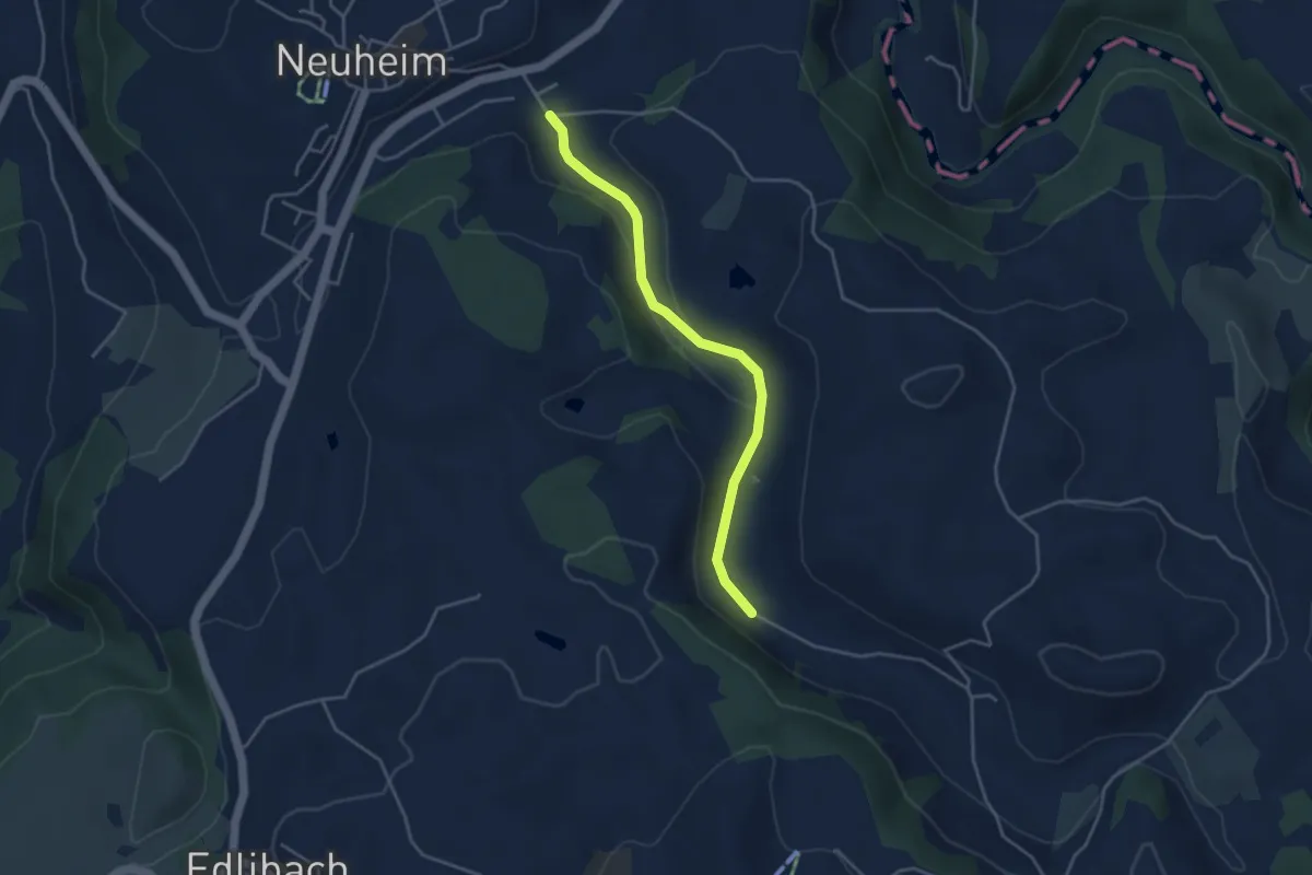
Easy · Trail
Erlenbach - Sarbach
3.8 km · ↑ 84 m · 1 h 5 min · 14 km away
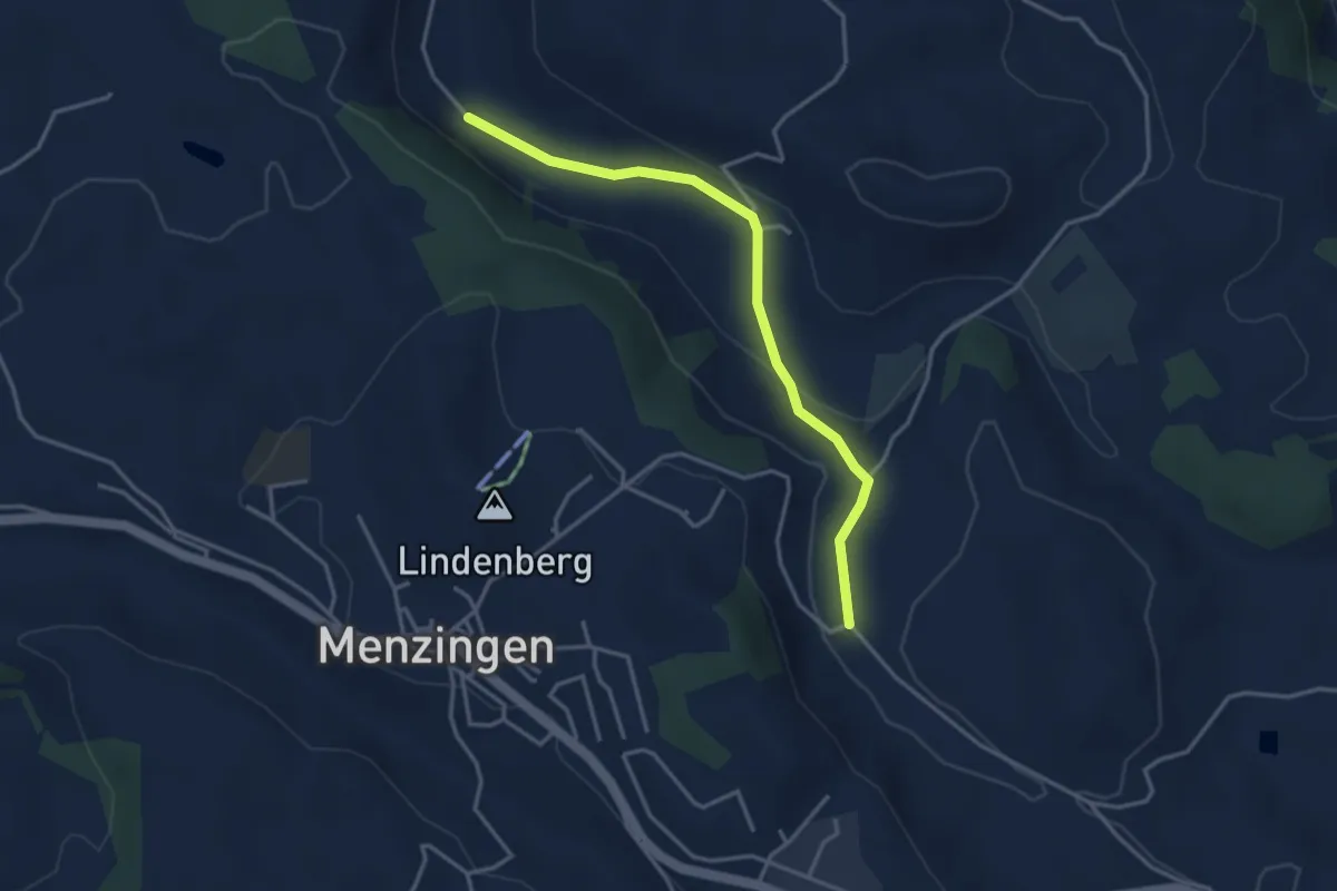
Easy · Trail
Brättigen - Erlenbach
3.6 km · ↑ 79 m · 1 h 1 min · 14 km away
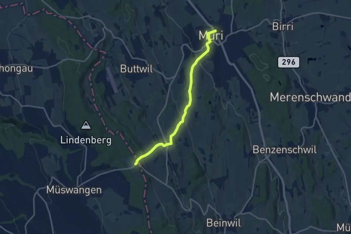
Medium · Trail
Muri - Geltwil - Schlatt
9.7 km · ↑ 370 m · 3 h 5 min · 15 km away
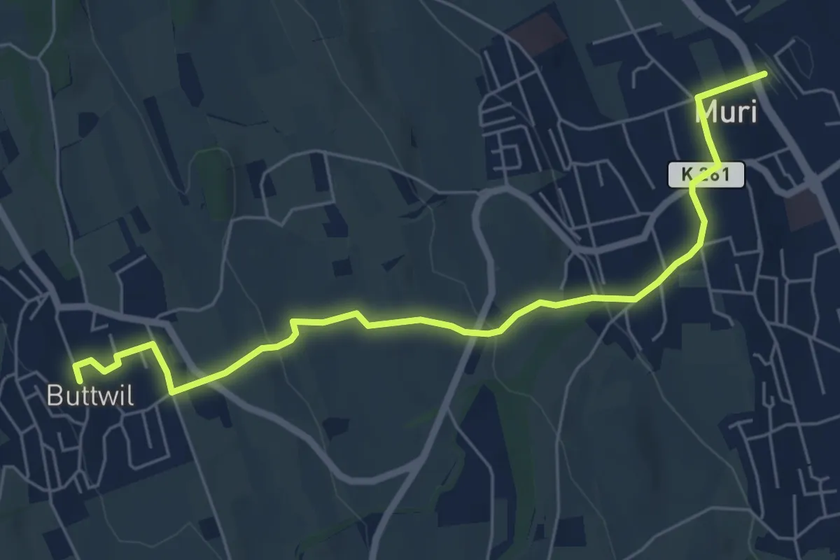
Easy · Trail
Muri - Buttwil
6.3 km · ↑ 182 m · 1 h 53 min · 15 km away
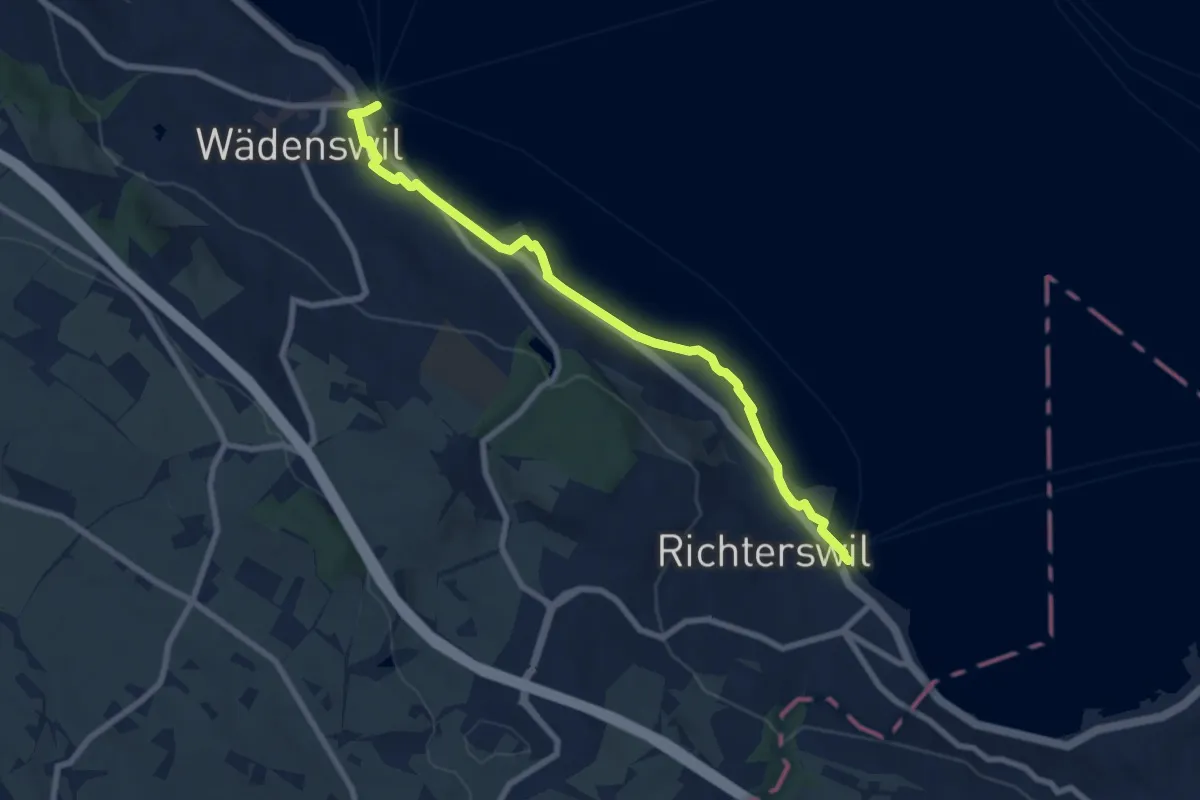
Medium · Trail
Wädenswil - Richterswil (Seeweg)
8.1 km · ↑ 76 m · 2 h 5 min · 15 km away
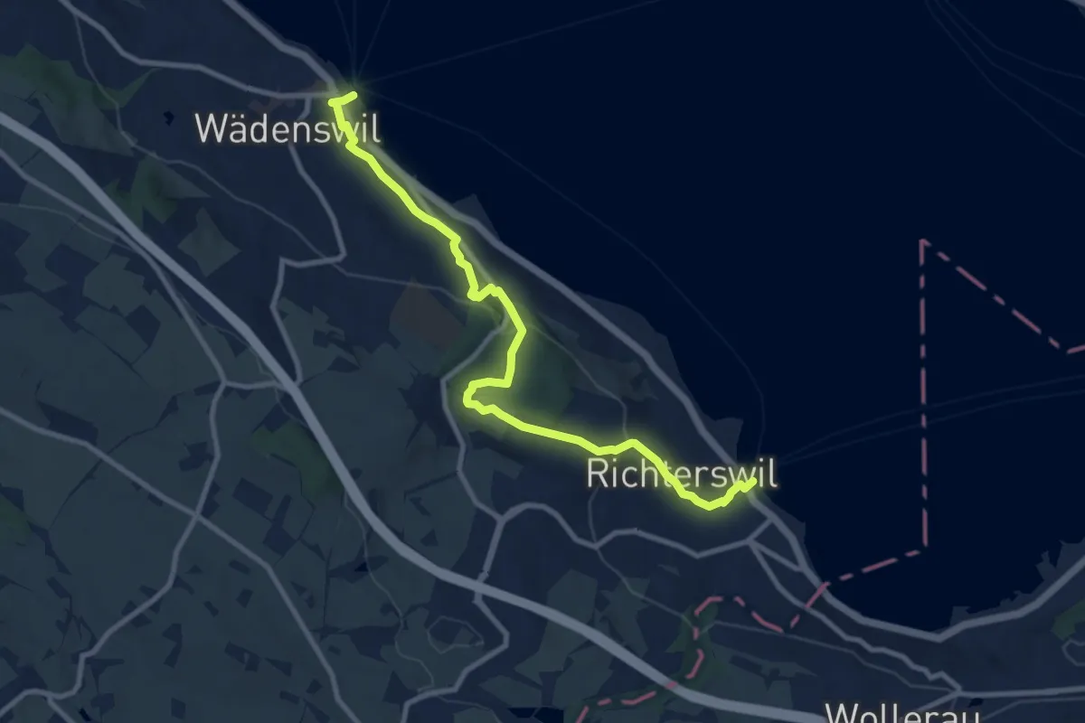
Medium · Trail
Richterswil Bahnhof - Wädenswil Bahnhof
10.0 km · ↑ 371 m · 3 h 10 min · 15 km away
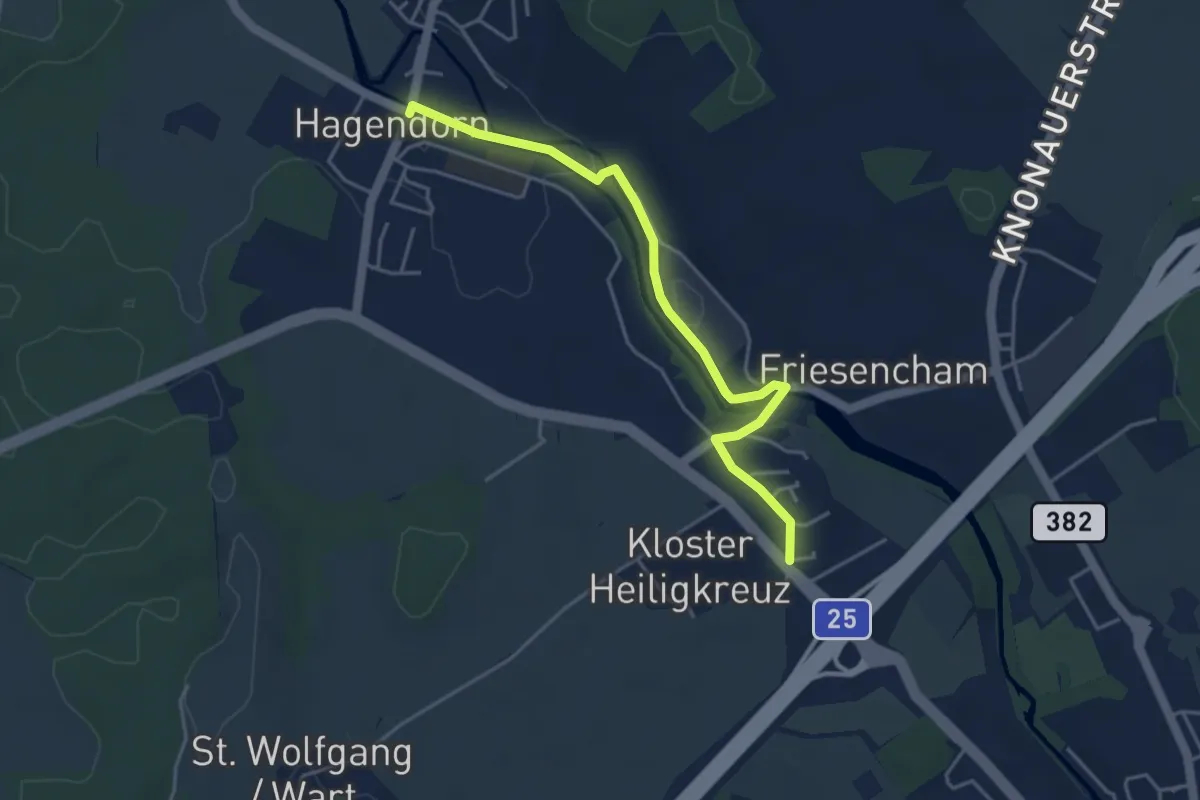
Easy · Trail
Hagendorn - Röhrliberg
4.3 km · ↑ 47 m · 1 h 7 min · 15 km away
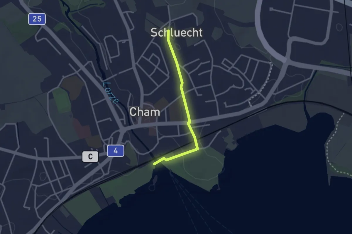
Easy · Trail
Cham - Schluecht
2.4 km · ↑ 28 m · 38 min · 15 km away
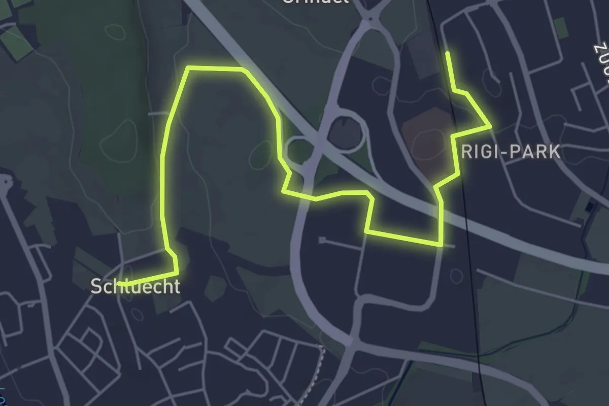
Easy · Trail
Steinhausen - Schluecht
6.5 km · ↑ 49 m · 1 h 38 min · 15 km away
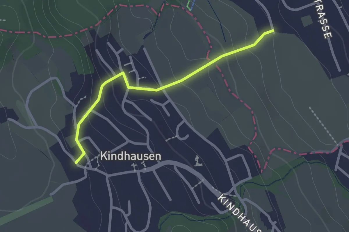
Easy · Trail
Rüteren - Kindhausen
2.1 km · ↑ 118 m · 45 min · 15 km away
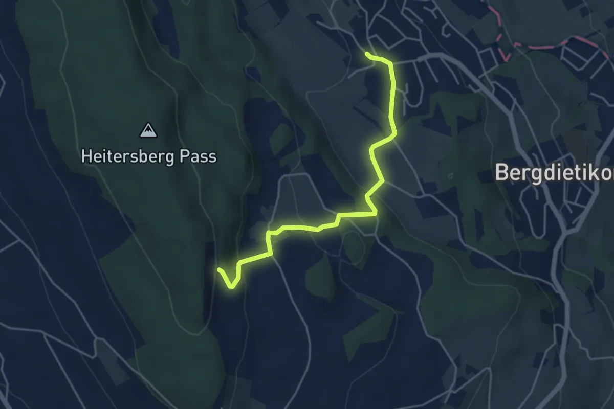
Easy · Trail
Waldhof - Kindhausen
4.0 km · ↑ 168 m · 1 h 19 min · 15 km away
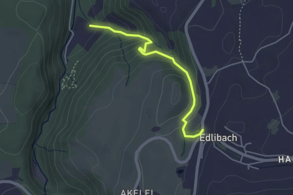
Easy · Trail
Edlibach - Höll
3.2 km · ↑ 254 m · 1 h 19 min · 15 km away
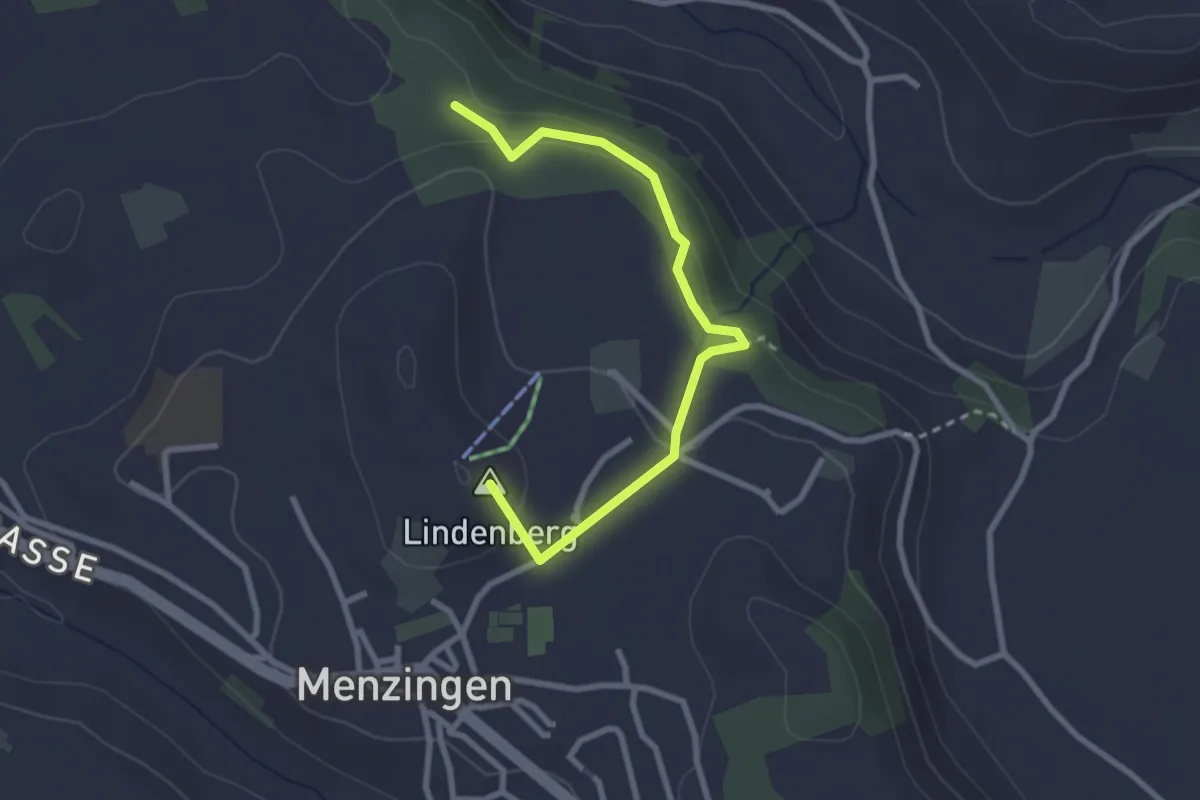
Easy · Summit
Chälenwald - Menzingen
2.8 km · ↑ 122 m · 55 min · 15 km away
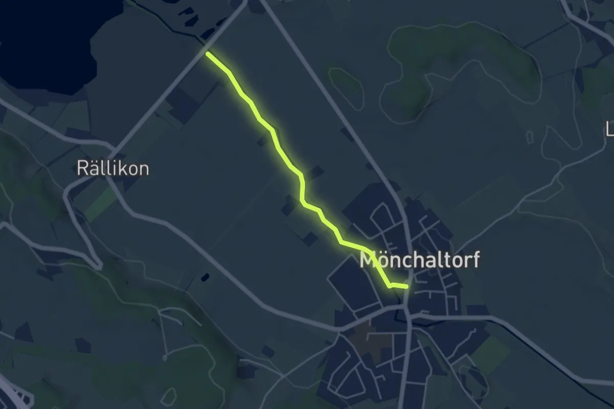
Easy · Trail
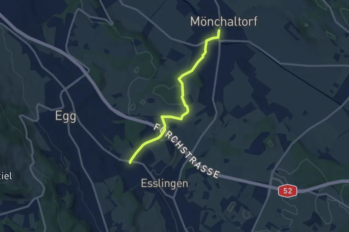
Silberweide - Mönchaltorf
3.7 km · ↑ 4 m · 53 min · 15 km away
Easy · Trail
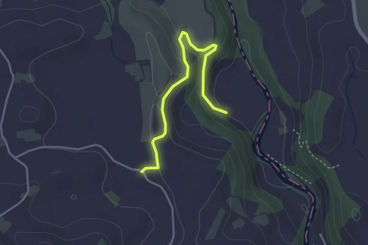
Mönchaltorf - Emmat
6.4 km · ↑ 97 m · 1 h 44 min · 15 km away
Easy · Trail
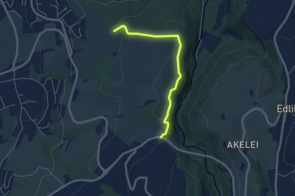
Sihlmatt - Schwand
3.0 km · ↑ 115 m · 57 min · 15 km away
Easy · Trail
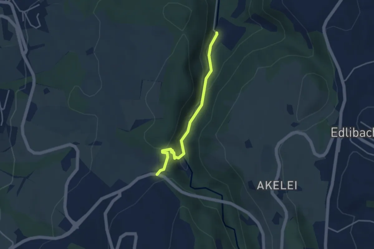
Talbrücke - Ober Allmend
3.9 km · ↑ 130 m · 1 h 12 min · 15 km away
Easy · Trail
Höllbrücke - Talbrücke
2.9 km · ↑ 116 m · 56 min · 15 km away
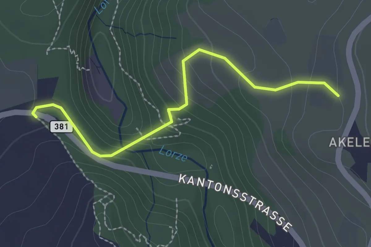
Easy · Trail
Talbrücke - Wulfligen
2.4 km · ↑ 152 m · 53 min · 15 km away
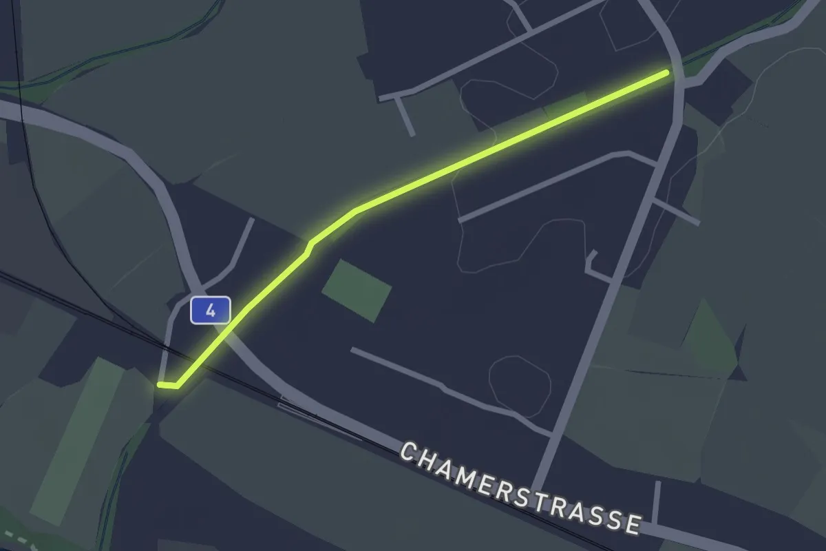
Easy · Trail
Chollermülli - Steinhauserbrücke
2.0 km · ↑ 5 m · 29 min · 15 km away
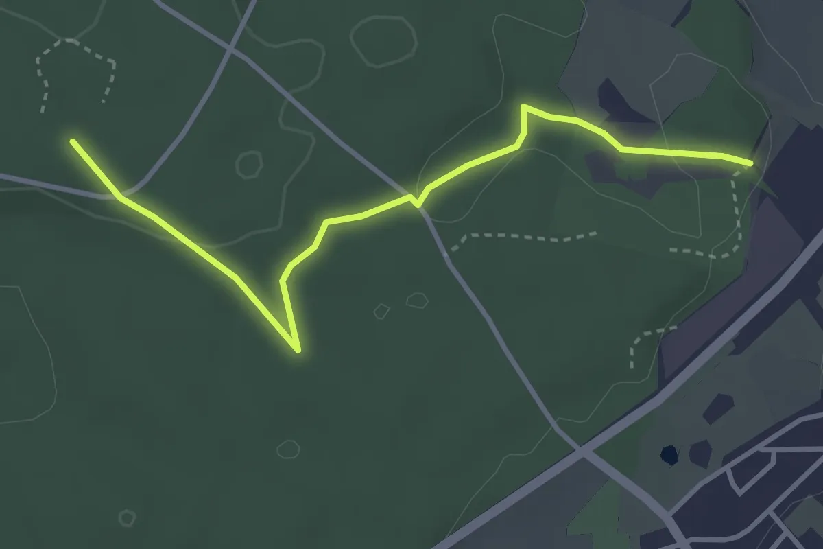
Easy · Trail
Walderlebnispfad Hardwald
3.5 km · ↑ 43 m · 56 min · 15 km away
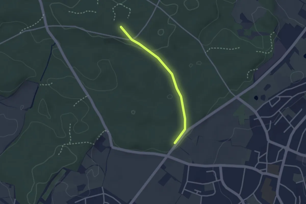
Easy · Trail
Walderlebnispfad Hardwald
2.4 km · ↑ 23 m · 36 min · 15 km away