Trails near Affoltern am Albis
527 hikes starting within 15 km, nearest first.
Nearest first, page 10 of 11
Easy · Trail
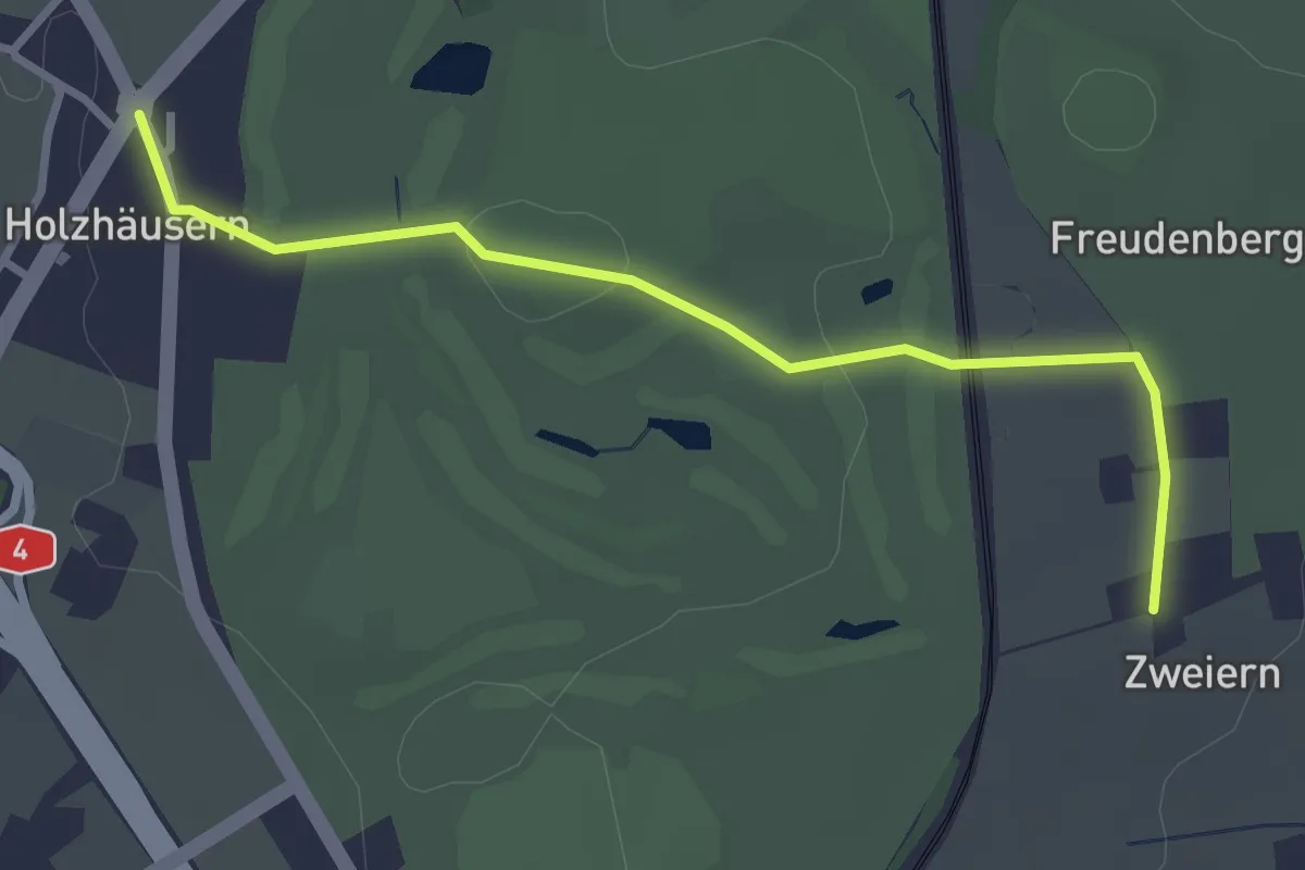
Holzhäusern - Zwijeren
3.1 km · ↑ 45 m · 49 min · 14 km away
Easy · Trail
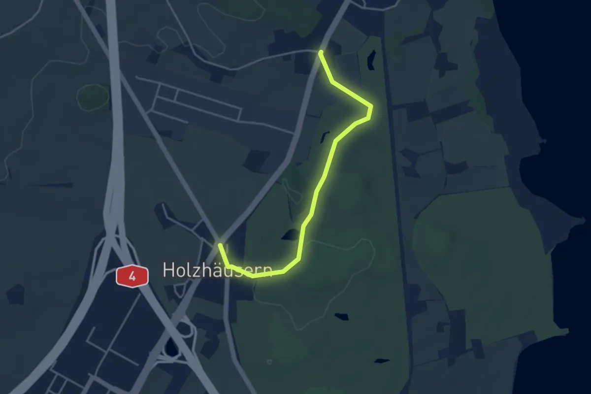
Langrüti - Holzhäusern
3.5 km · ↑ 28 m · 54 min · 14 km away
Easy · Trail
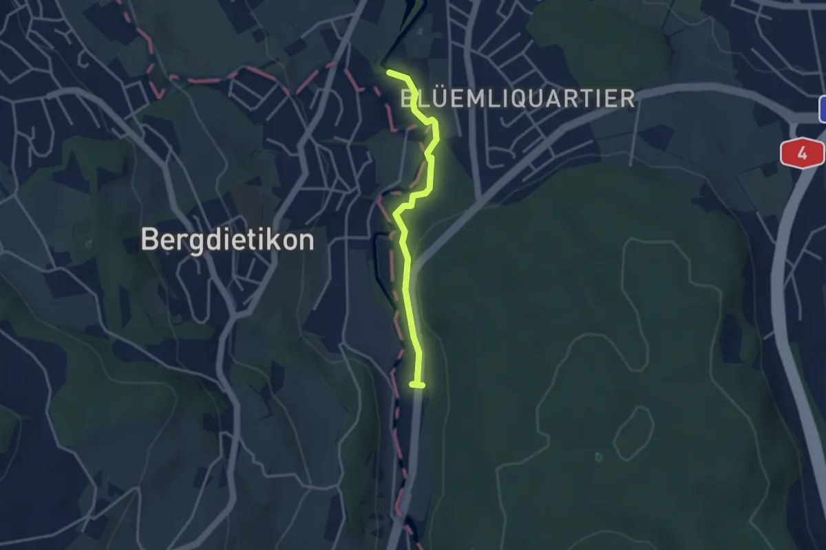
Repischhof - Basi
2.9 km · ↑ 58 m · 49 min · 14 km away
Easy · Trail
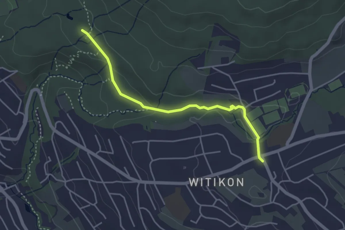
Witikon - Degenried
3.5 km · ↑ 57 m · 57 min · 14 km away
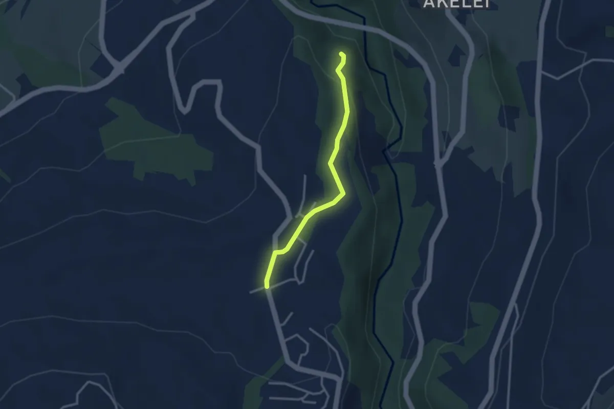
Easy · Trail
Allenwinden - Wildenburg
2.4 km · ↑ 50 m · 41 min · 14 km away
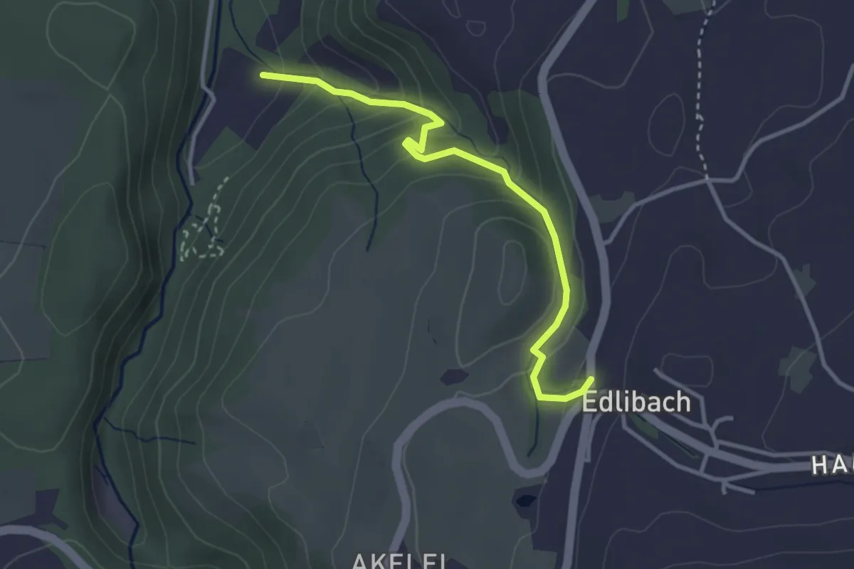
Easy · Trail
Edlibach - Höll
3.2 km · ↑ 254 m · 1 h 19 min · 14 km away
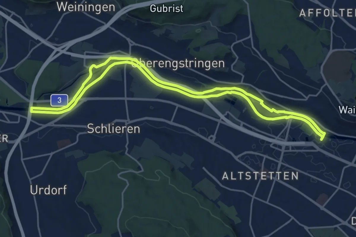
Medium · Trail
Limmat-Uferweg
15.1 km · ↑ 41 m · 3 h 52 min · 14 km away
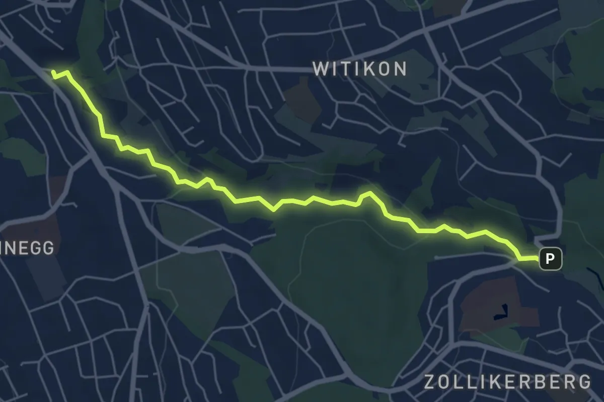
Easy · Trail
Trichtenhusen - Burgwis
5.7 km · ↑ 116 m · 1 h 35 min · 14 km away
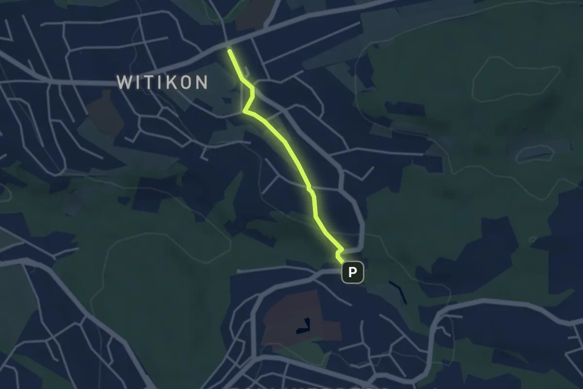
Easy · Trail
Witikon - Trichtenhusen
2.5 km · ↑ 40 m · 41 min · 14 km away
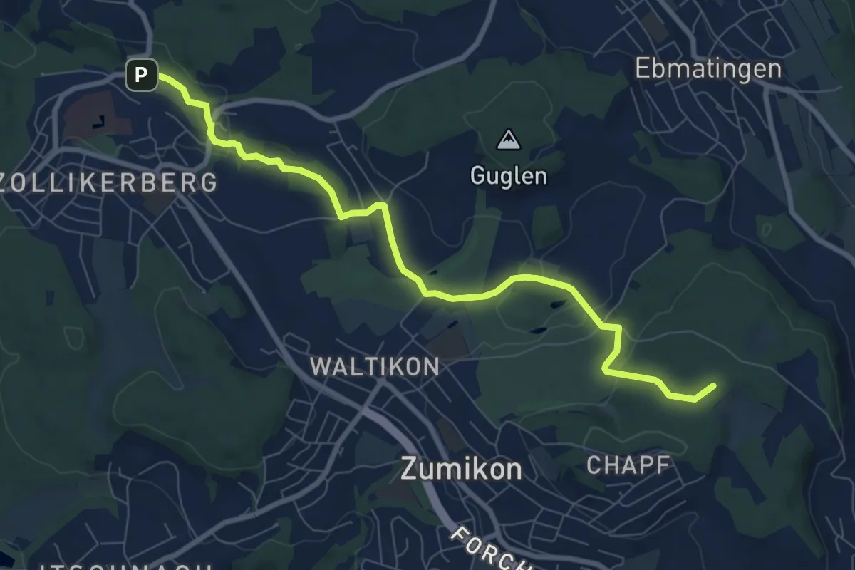
Medium · Summit
Trichtenhusen – Wehrmännerdenkmal
8.4 km · ↑ 188 m · 2 h 23 min · 14 km away
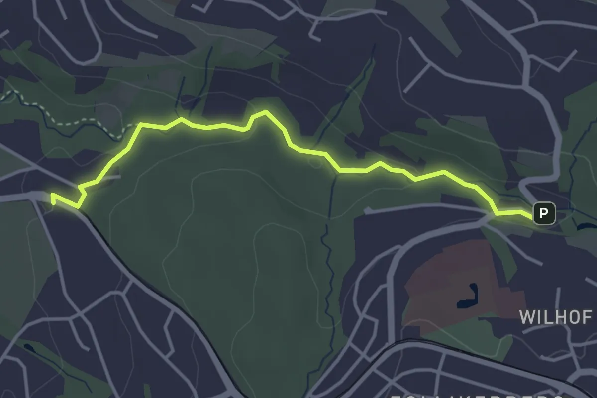
Easy · Trail
Rehalp – Trichtenhusen
3.6 km · ↑ 57 m · 58 min · 14 km away
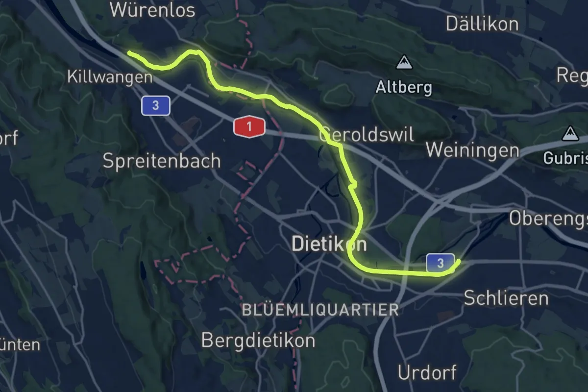
Medium · Trail
Werd – Würenlos Brücke
17.8 km · ↑ 50 m · 4 h 19 min · 14 km away
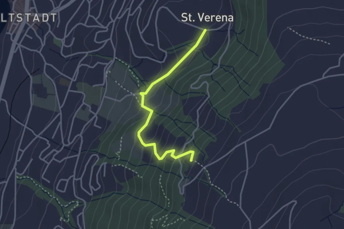
Easy · Trail
St. Verena – Blasenberg
3.1 km · ↑ 219 m · 1 h 12 min · 14 km away
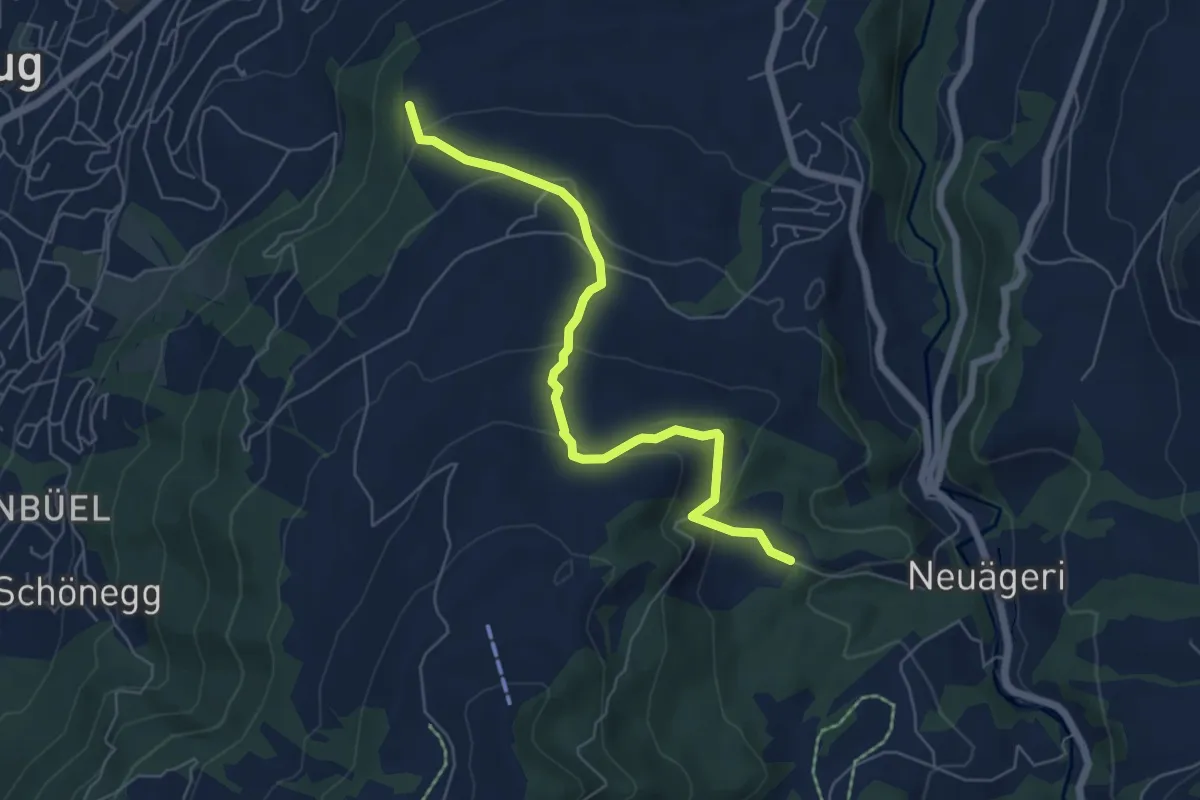
Easy · Trail
Steren-Unter Brunegg
6.0 km · ↑ 296 m · 2 h 3 min · 14 km away
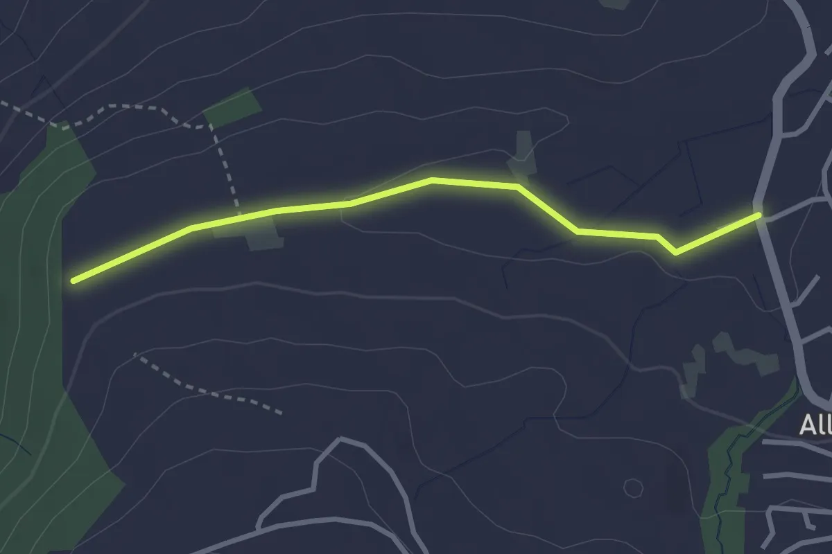
Easy · Trail
Steren - Allenwinden
2.7 km · ↑ 25 m · 41 min · 14 km away
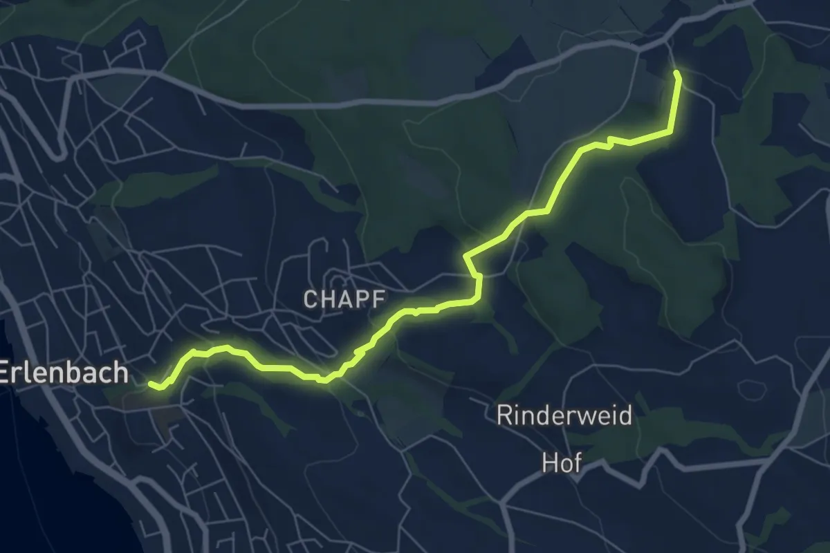
Easy · Trail
Limberg - Erlenbach Dorfbach
7.0 km · ↑ 273 m · 2 h 15 min · 14 km away
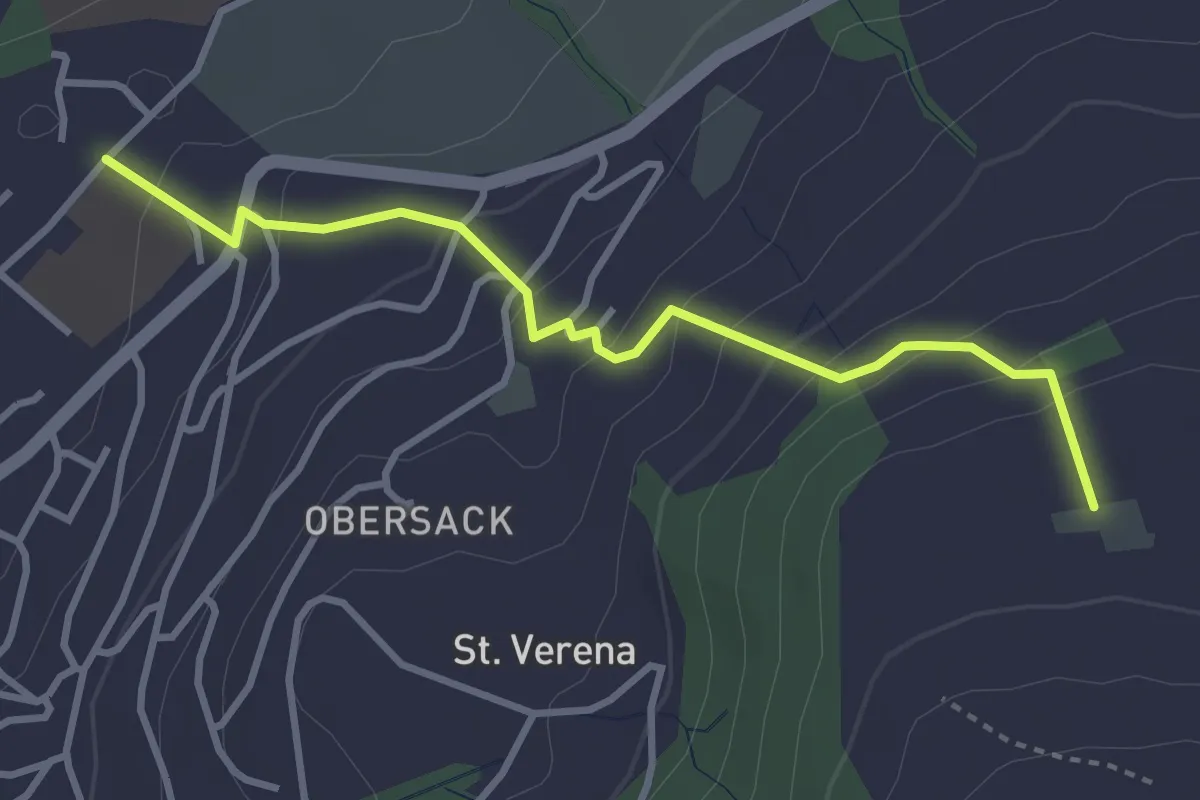
Easy · Trail
Loreto - Wildenburg
3.4 km · ↑ 225 m · 1 h 17 min · 14 km away
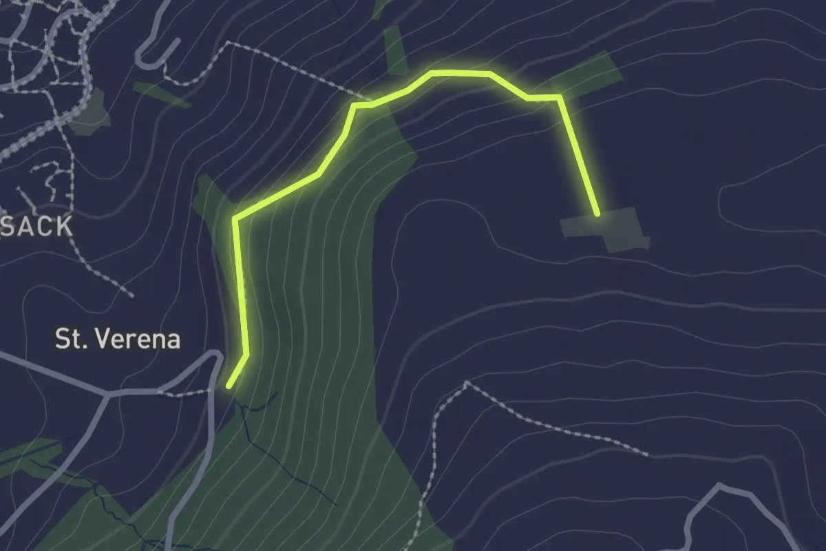
Easy · Trail
Wildenburg - Schönegg - fixme
2.1 km · ↑ 121 m · 45 min · 14 km away
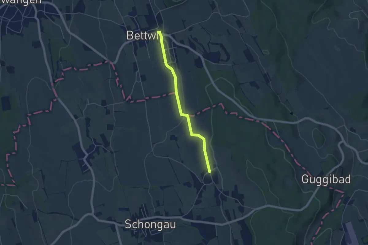
Easy · Trail
Bettwil - Oberschongau
4.3 km · ↑ 48 m · 1 h 7 min · 14 km away
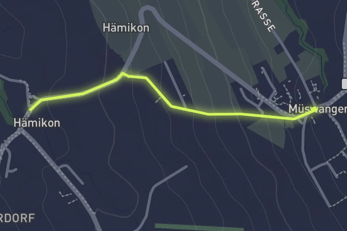
Easy · Trail
Hämikon - Müswangen
2.1 km · ↑ 96 m · 42 min · 14 km away
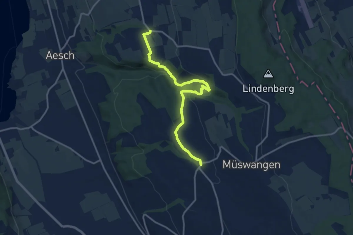
Medium · Trail
Rüediken - Hämikon
9.2 km · ↑ 233 m · 2 h 41 min · 14 km away
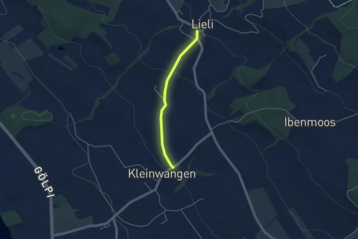
Easy · Trail
Kleinwangen – Lieli
2.9 km · ↑ 87 m · 52 min · 14 km away
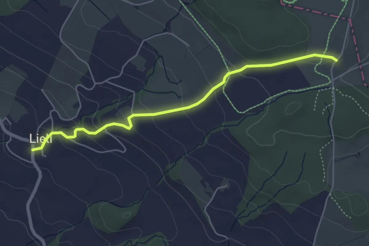
Easy · Trail
Oberillau – Lieli
4.5 km · ↑ 184 m · 1 h 28 min · 14 km away
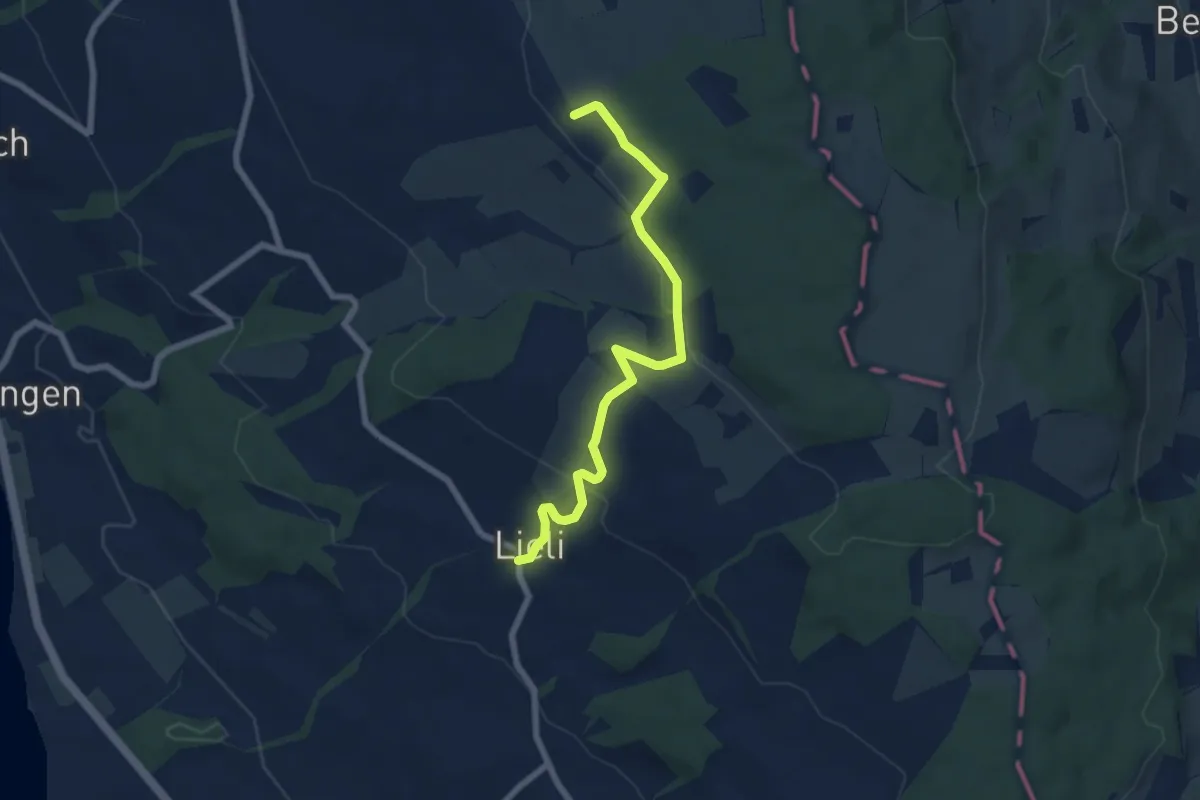
Easy · Trail
Lieli – Sulzerberg
6.8 km · ↑ 237 m · 2 h 8 min · 14 km away
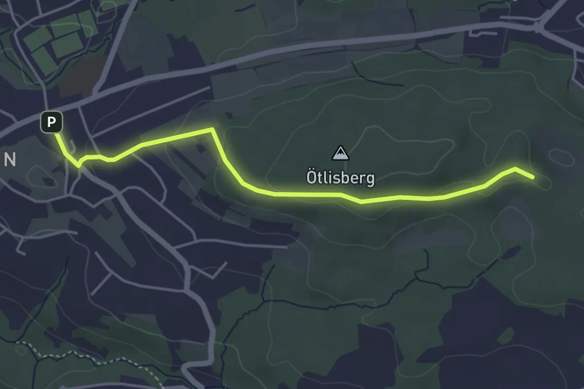
Easy · Trail
Witikon - Fridlimatt
4.1 km · ↑ 106 m · 1 h 12 min · 14 km away
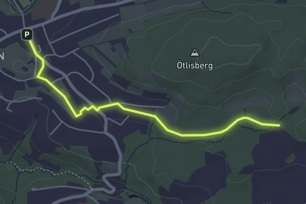
Easy · Trail
Witikon - Detschwingen
4.2 km · ↑ 50 m · 1 h 7 min · 14 km away
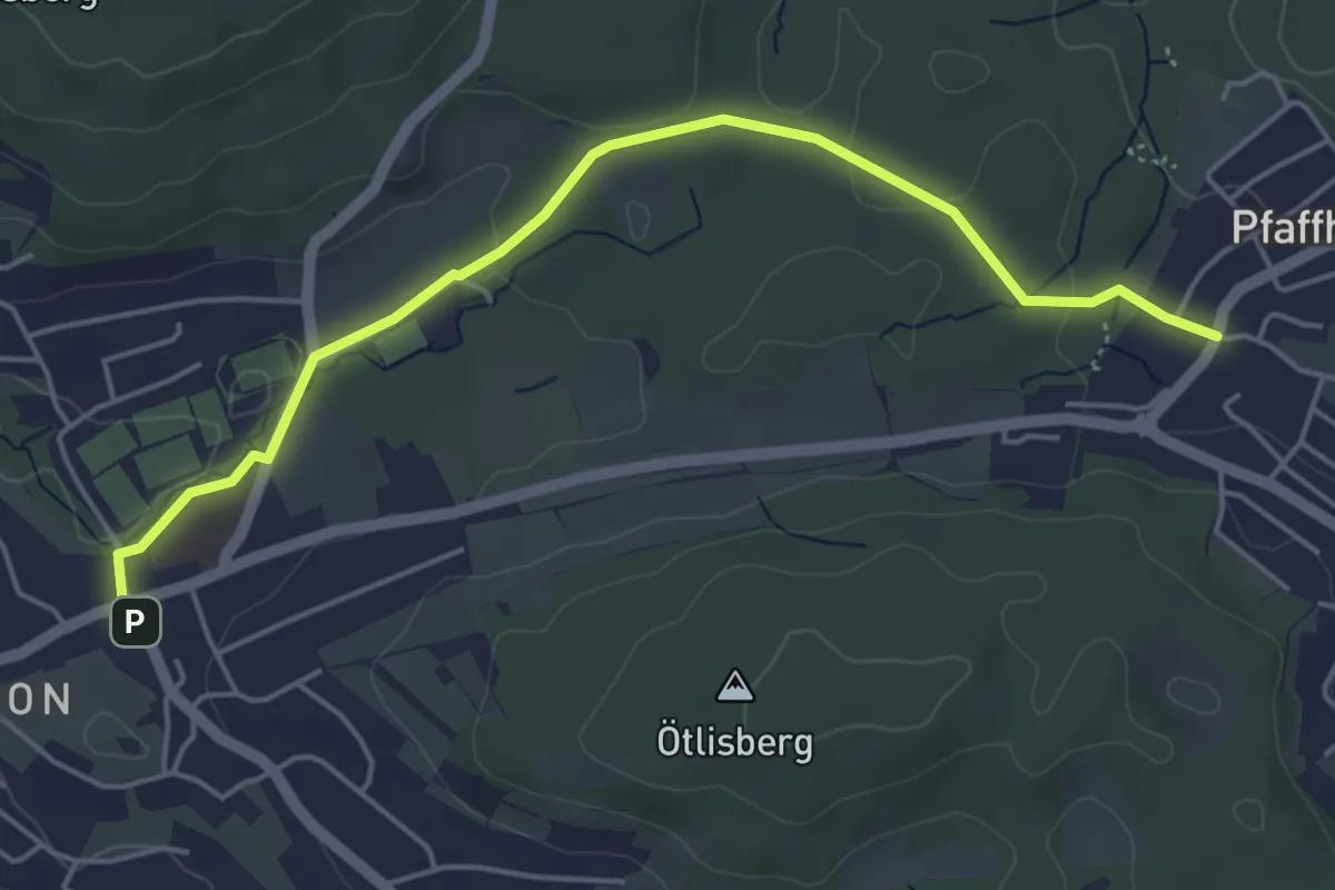
Easy · Trail
Witikon - Pfaffhausen
5.1 km · ↑ 77 m · 1 h 22 min · 14 km away
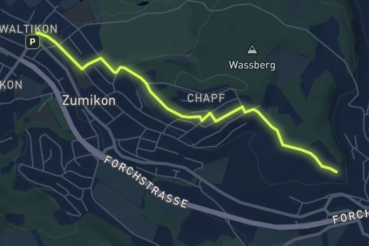
Easy · Trail
Waltikon – Wehrmännerdenkmal
5.9 km · ↑ 149 m · 1 h 43 min · 14 km away
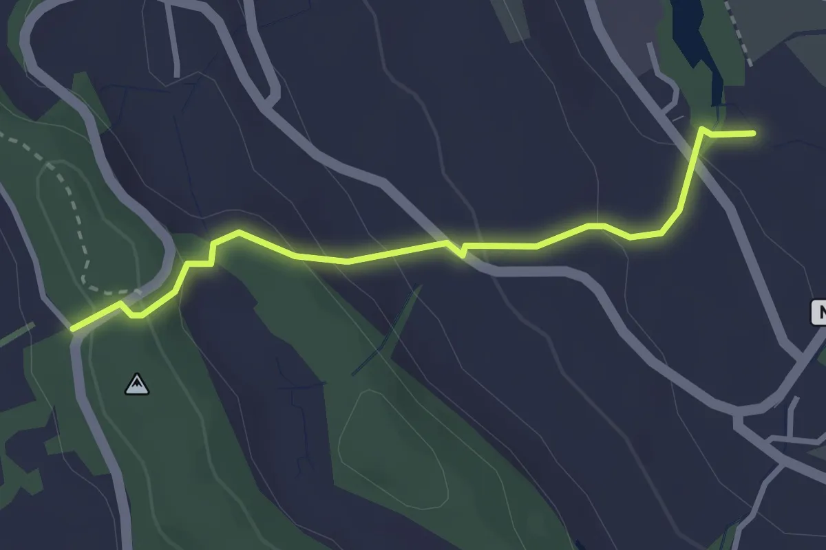
Easy · Trail
Chrutzelen – Aamüli
2.7 km · ↑ 160 m · 59 min · 14 km away
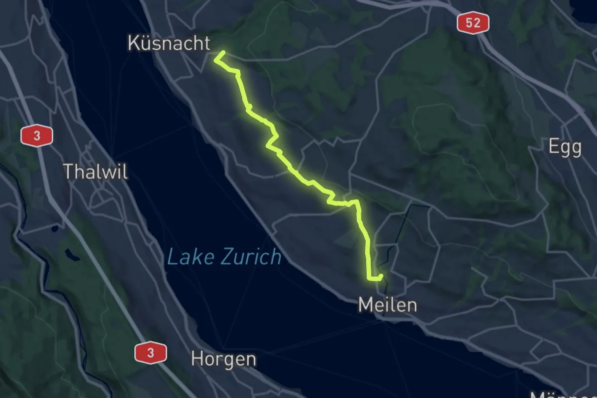
Medium · Trail
Zürichsee Rundweg - Etappe 9
14.2 km · ↑ 227 m · 3 h 51 min · 14 km away
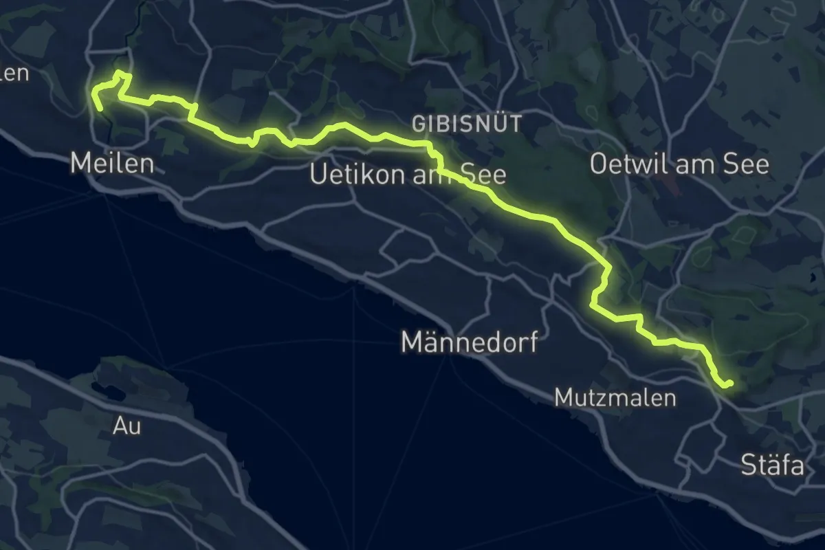
Demanding · Trail
Zürichsee Rundweg - Etappe 8
20.0 km · ↑ 434 m · 5 h 39 min · 14 km away
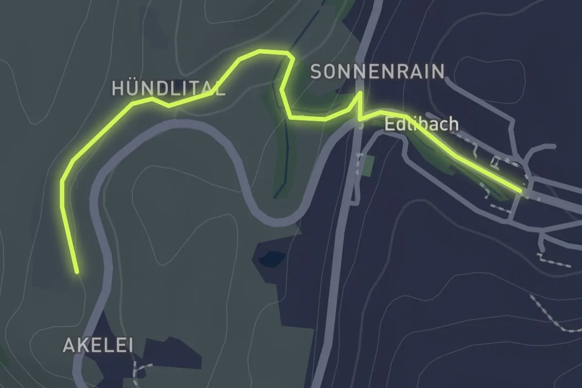
Easy · Trail
Wulfligen - Edlibach
2.5 km · ↑ 76 m · 46 min · 14 km away
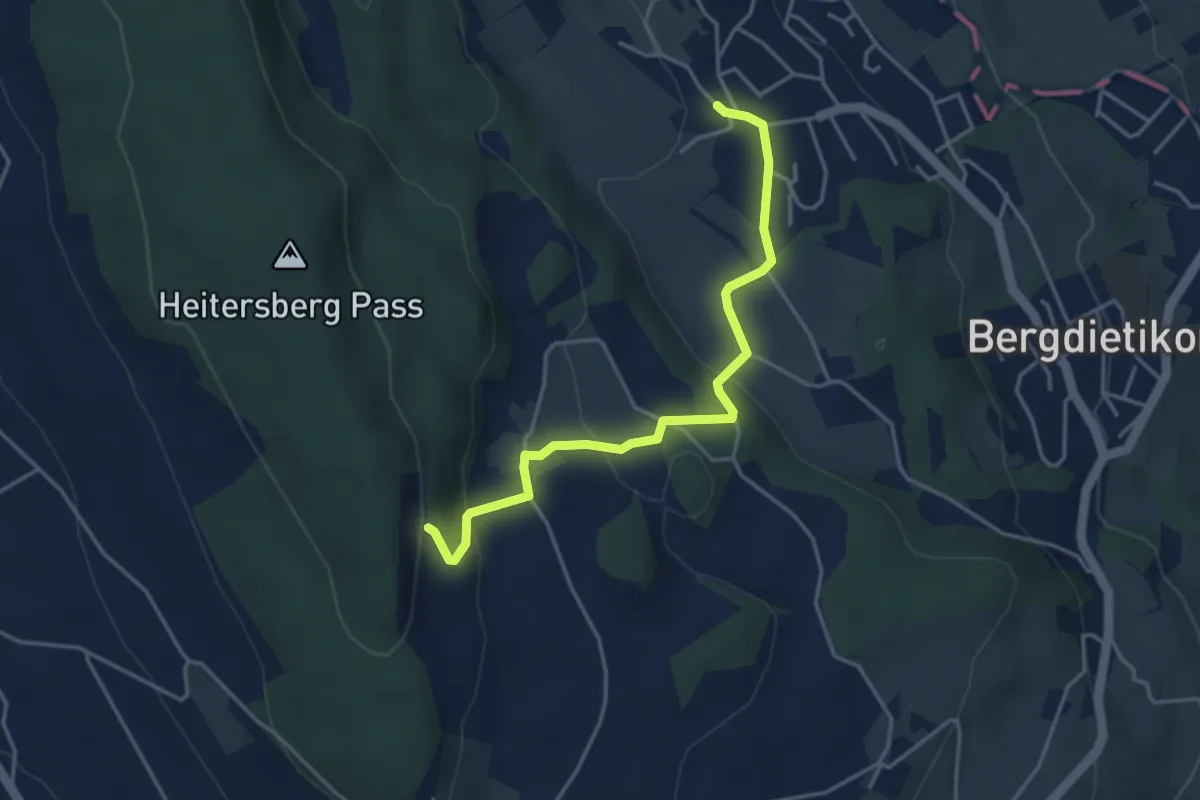
Easy · Trail
Waldhof - Kindhausen
4.0 km · ↑ 168 m · 1 h 19 min · 14 km away
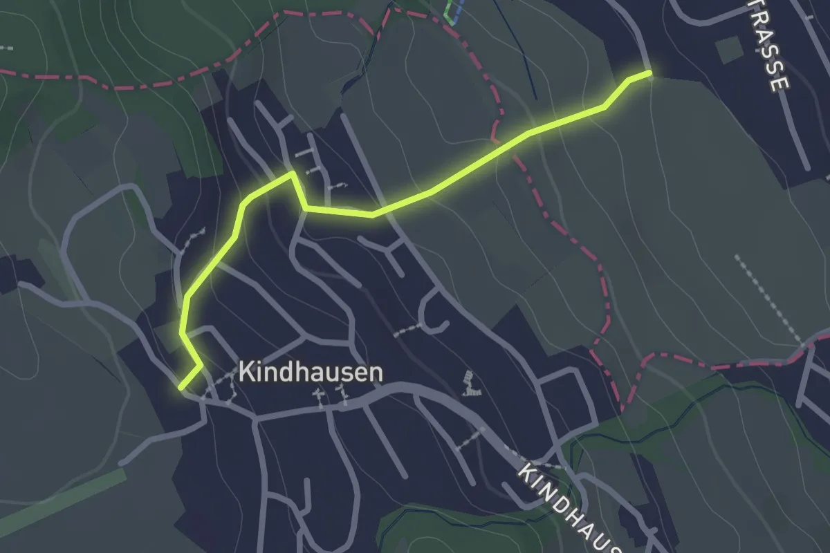
Easy · Trail
Rüteren - Kindhausen
2.1 km · ↑ 118 m · 45 min · 14 km away
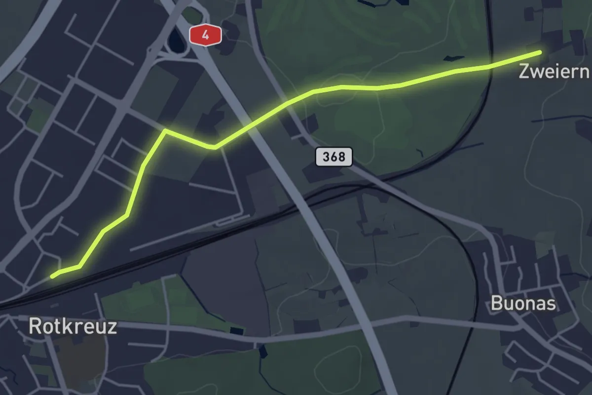
Easy · Trail
Rotkreuz - Zwijeren
4.5 km · ↑ 17 m · 1 h 6 min · 14 km away
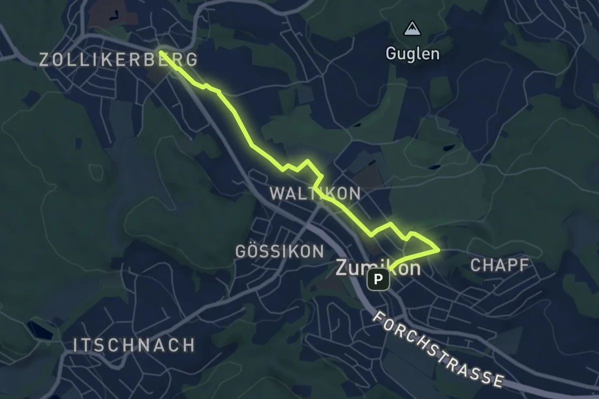
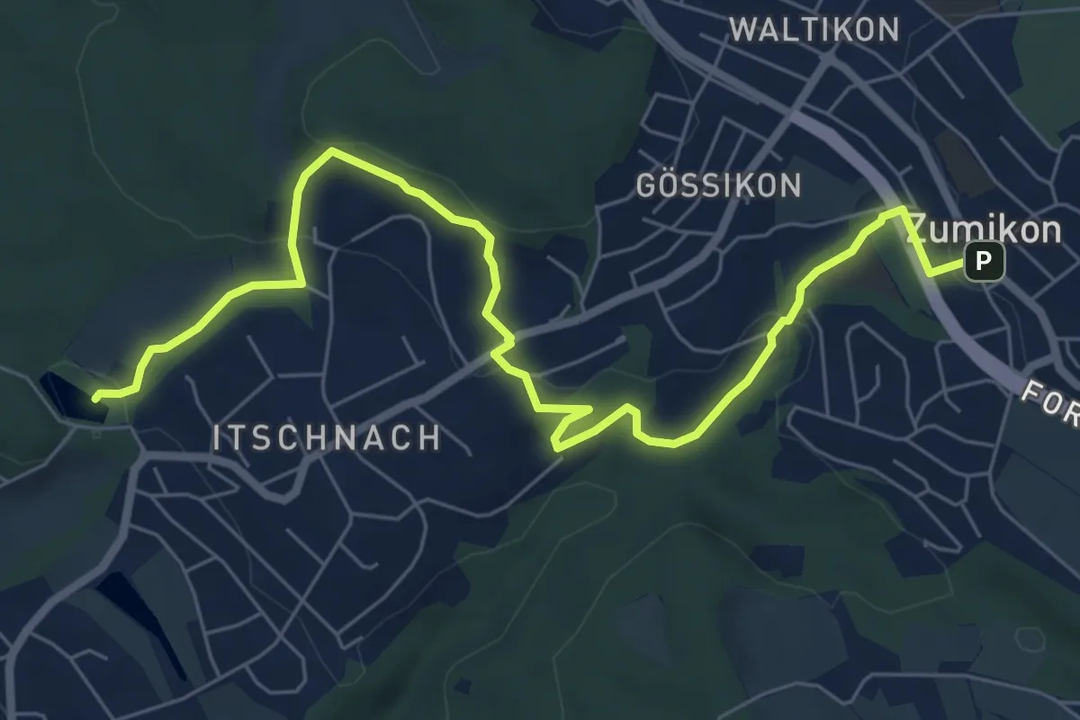
Easy · Trail
Zollikerberg – Zumikon
6.6 km · ↑ 172 m · 1 h 56 min · 14 km away
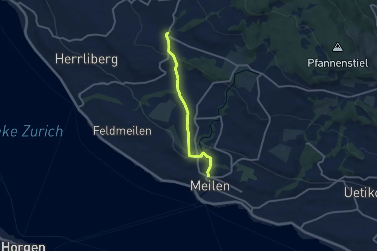
Medium · Trail
Rumensee – Zumikon
8.1 km · ↑ 282 m · 2 h 32 min · 14 km away
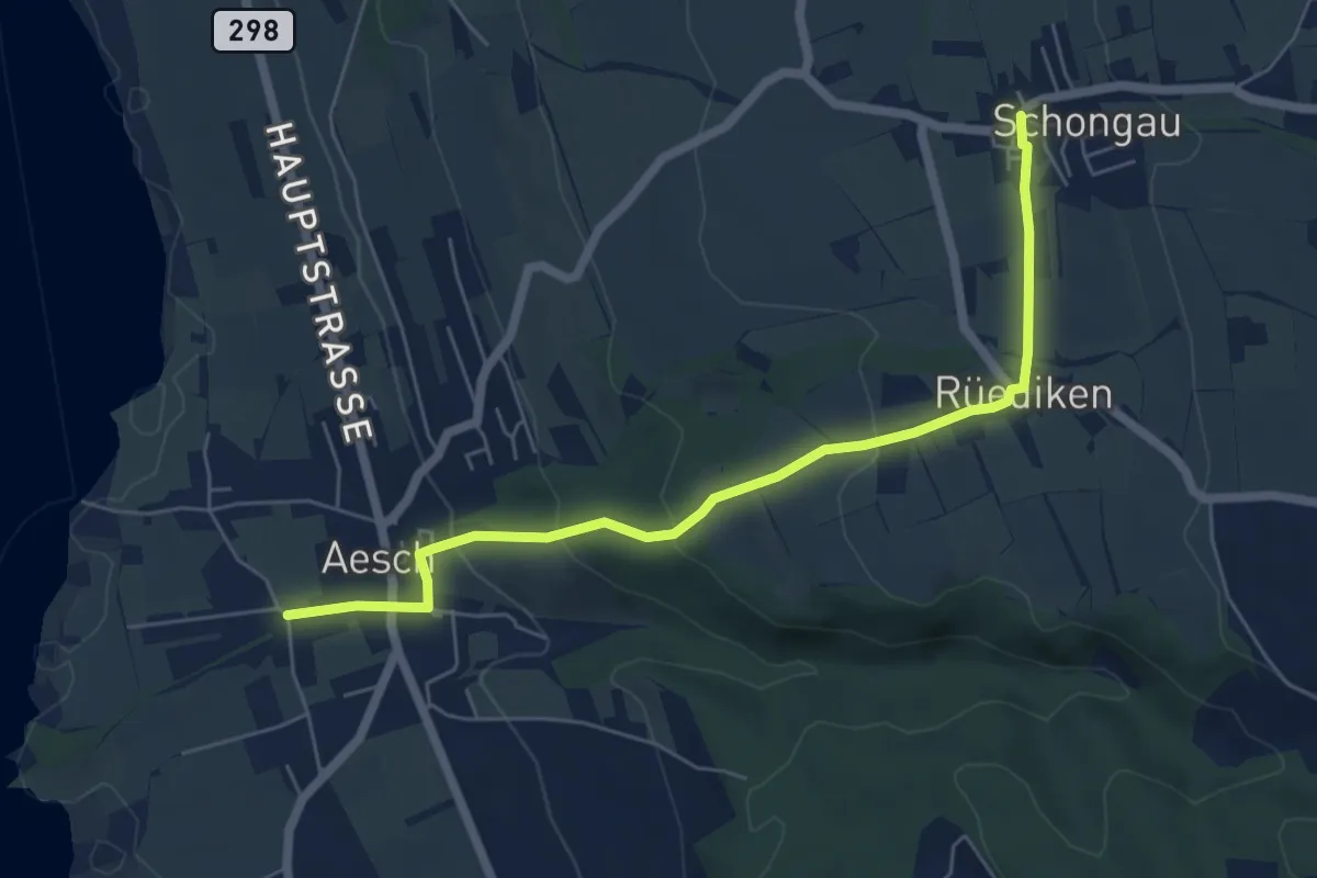
Easy · Trail
Wetzwil – Meilen Dorfbach
6.1 km · ↑ 203 m · 1 h 53 min · 14 km away
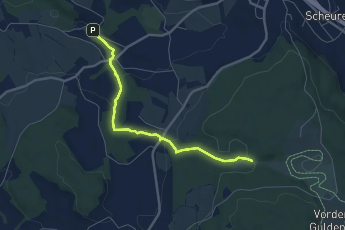
Easy · Trail
Mettmenschongau - Aesch
6.1 km · ↑ 204 m · 1 h 53 min · 14 km away
Easy · Trail
Tobelmüli – Chüelenmorgen
5.3 km · ↑ 157 m · 1 h 35 min · 14 km away
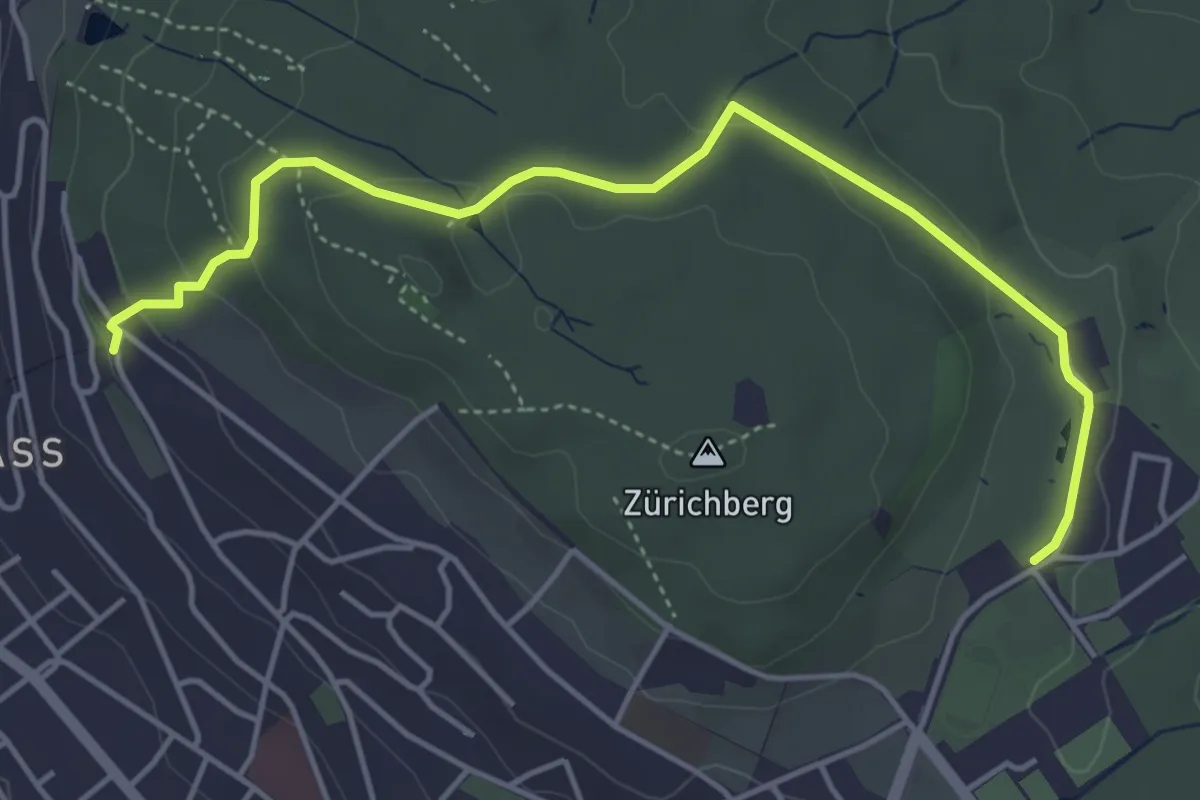
Easy · Trail
Familien-Wanderweg Rigiblick - Zoo
5.0 km · ↑ 133 m · 1 h 28 min · 14 km away
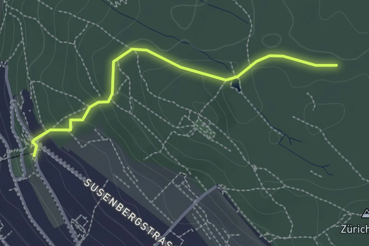
Easy · Trail
Rigiblick – Zürichberg
2.4 km · ↑ 76 m · 44 min · 14 km away
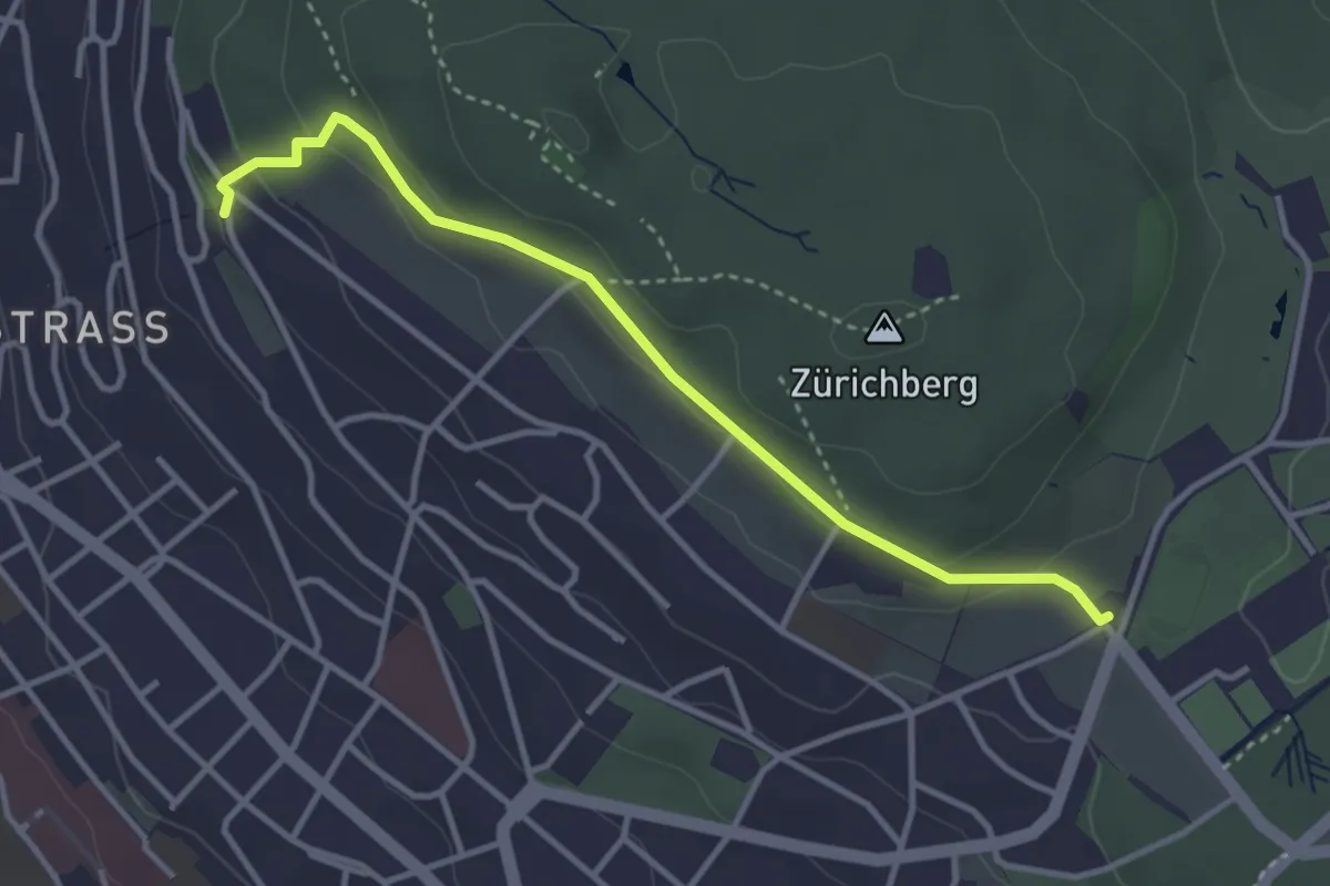
Easy · Trail
Rigiblick – Fluntern
3.5 km · ↑ 136 m · 1 h 7 min · 14 km away
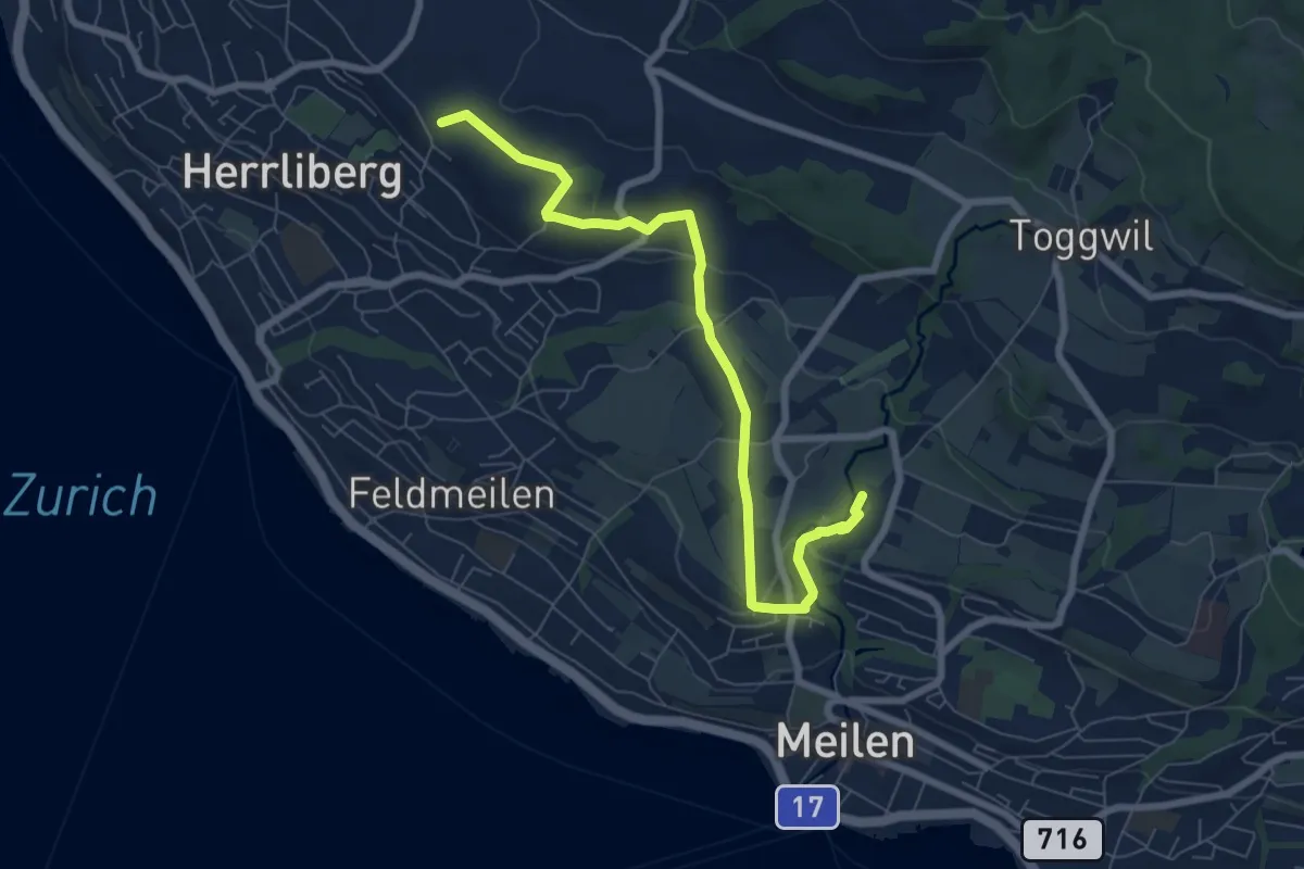
Easy · Trail
Wängi – Rne. Friedberg
7.6 km · ↑ 151 m · 2 h 8 min · 14 km away
Easy · Trail
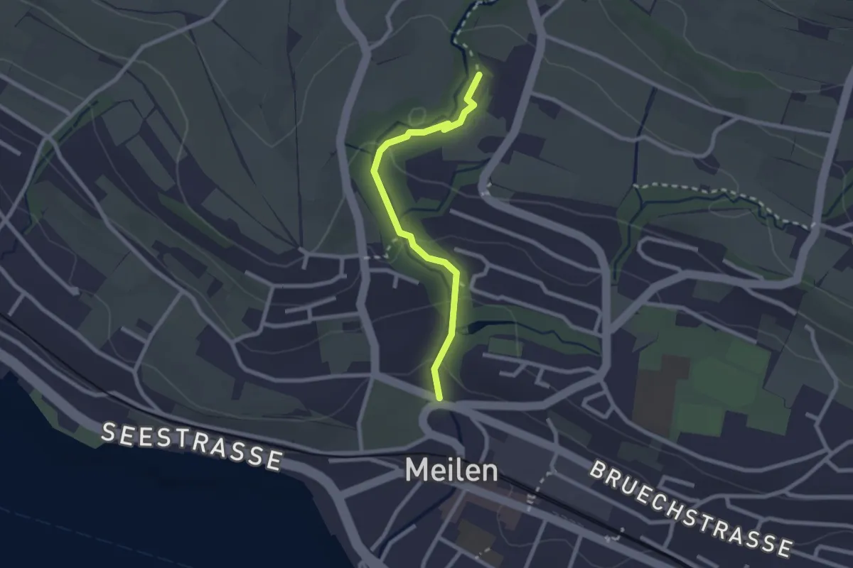
Rne. Friedberg – Meilen Dorfbach
2.2 km · ↑ 74 m · 41 min · 14 km away
Easy · Trail
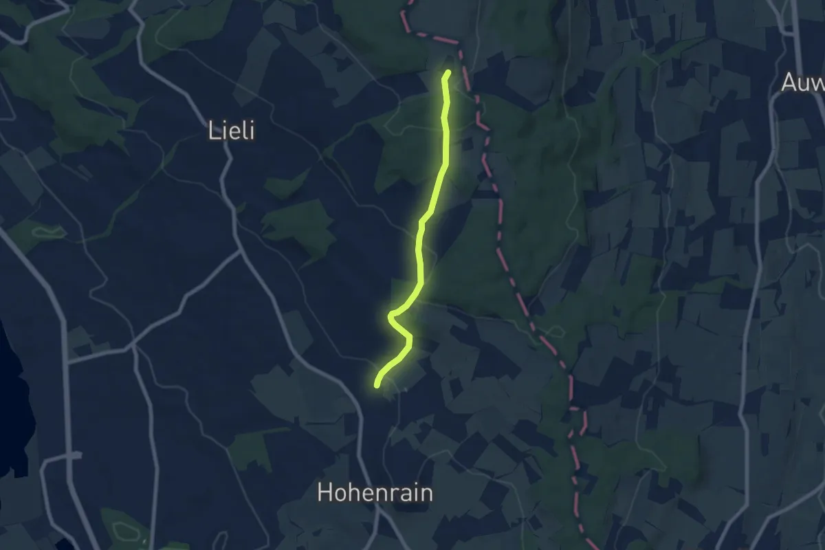
Güniken – Oberillau
6.1 km · ↑ 254 m · 2 h · 14 km away
Easy · Trail
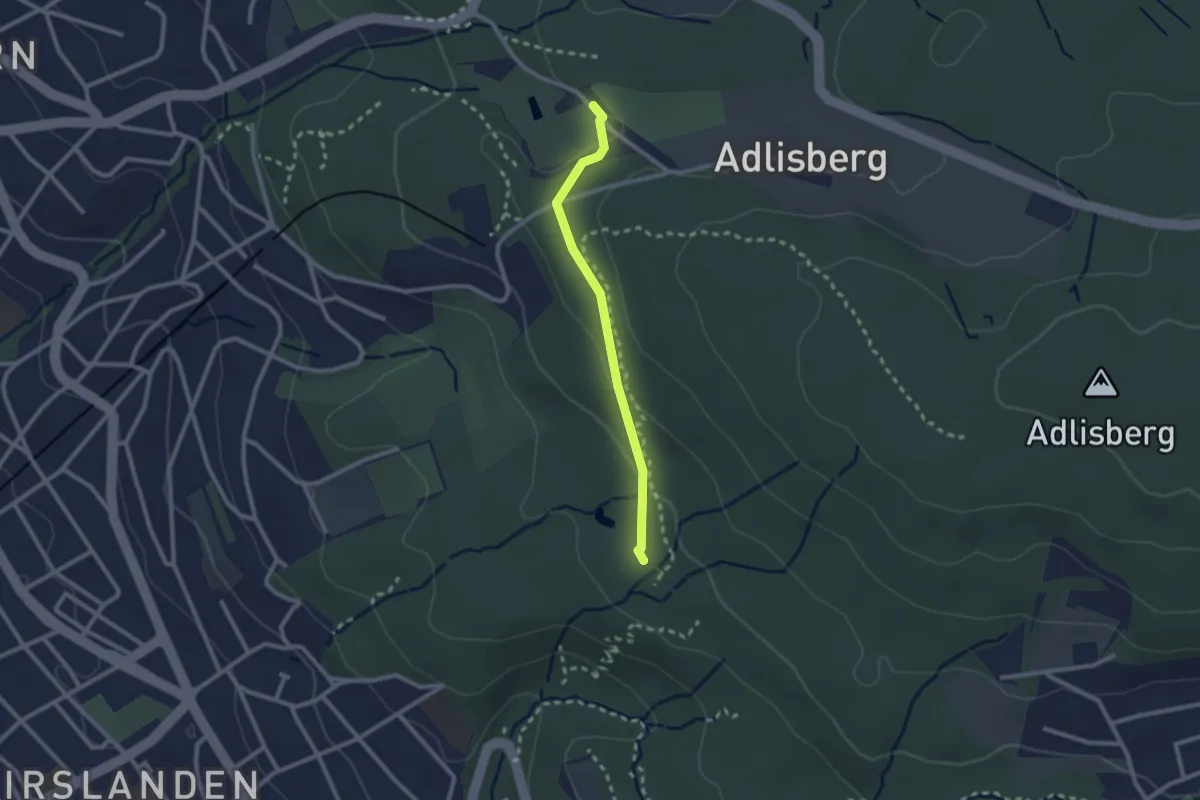
Degenried - Dolder
2.1 km · ↑ 69 m · 39 min · 14 km away
Easy · Trail
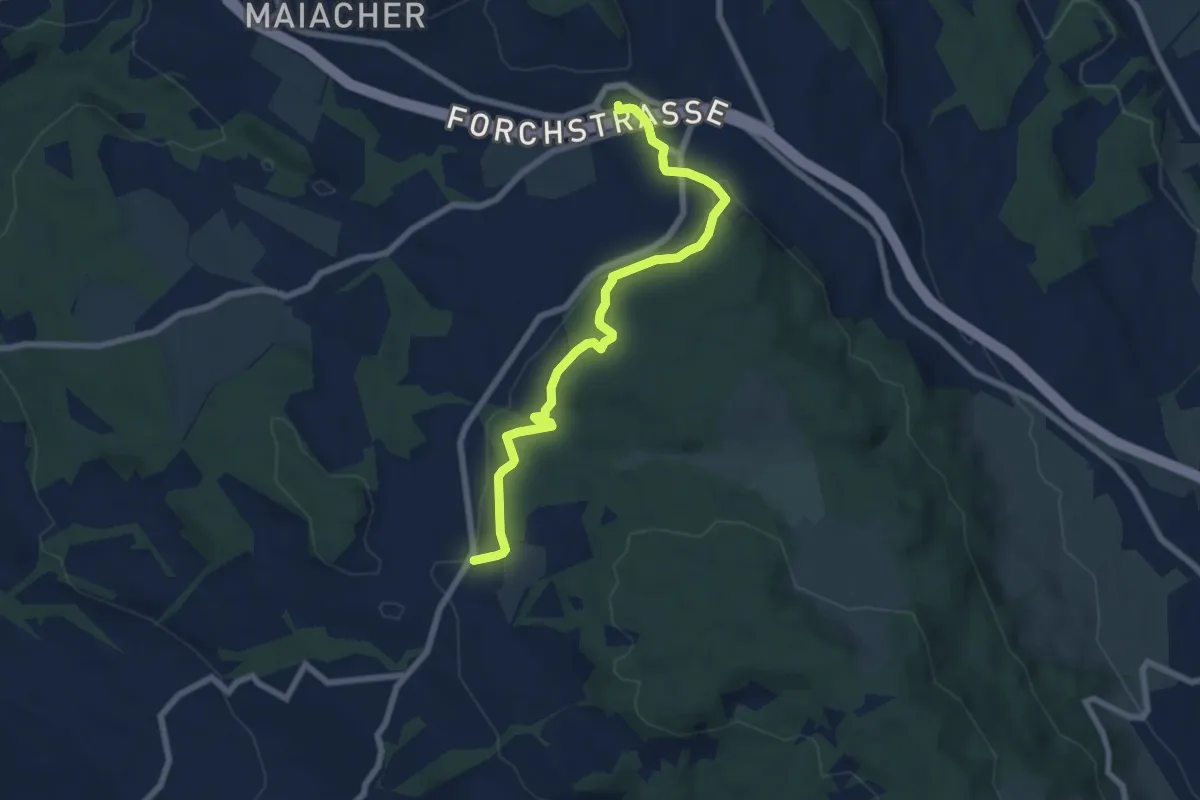
Rütihof – Forch
7.2 km · ↑ 229 m · 2 h 12 min · 14 km away