Trails near Affoltern am Albis
527 hikes starting within 15 km, nearest first.
Nearest first, page 8 of 11
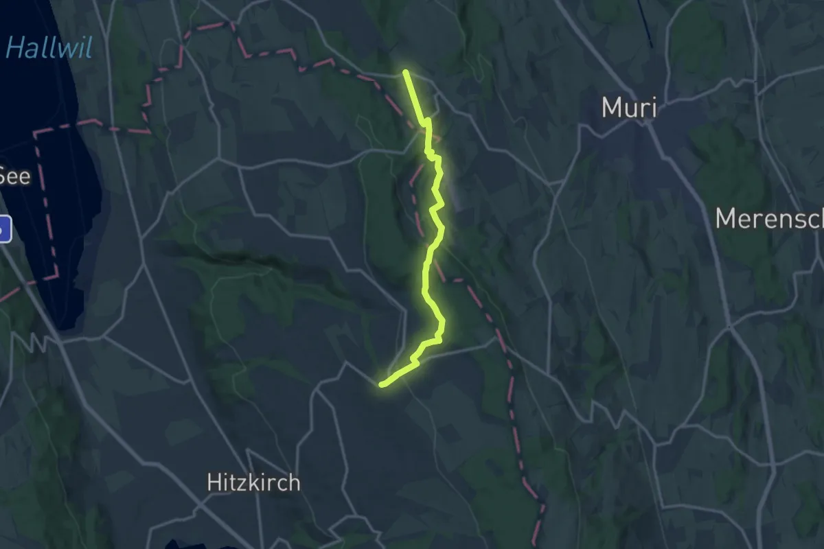
Medium · Trail
Guggibad - Müswangen
12.0 km · ↑ 305 m · 3 h 29 min · 12 km away
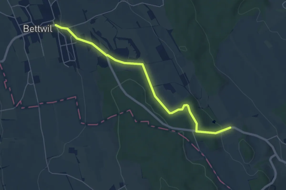
Easy · Trail
Bettwil - Brandholz
5.3 km · ↑ 140 m · 1 h 33 min · 12 km away
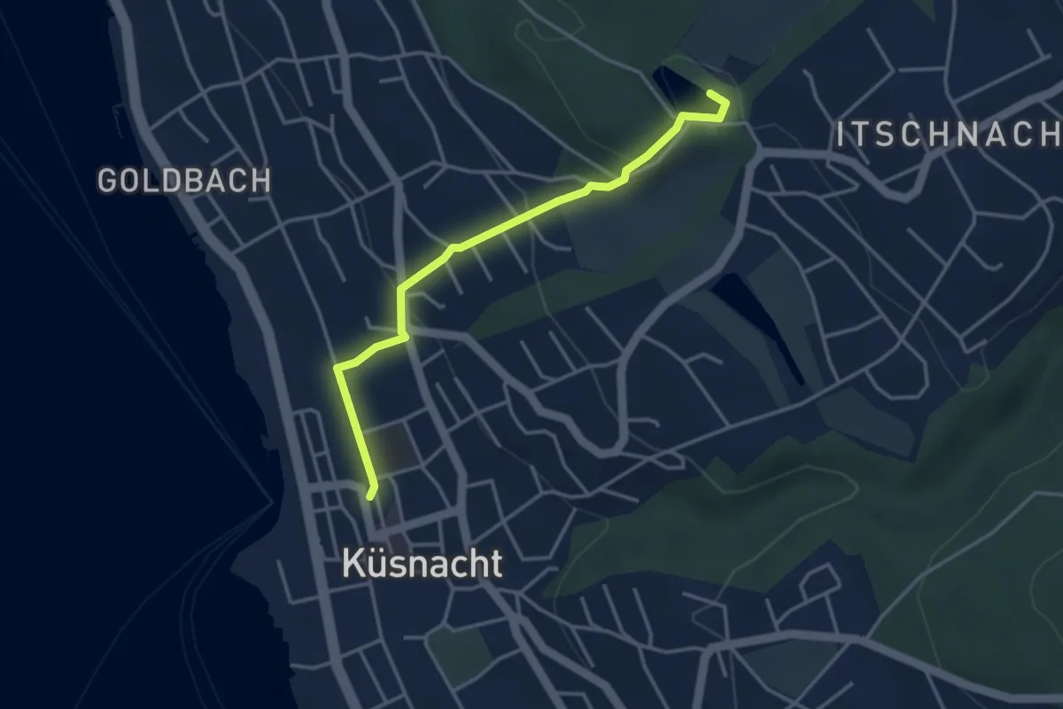
Easy · Trail
Küsnacht – Rumensee
3.4 km · ↑ 127 m · 1 h 5 min · 12 km away
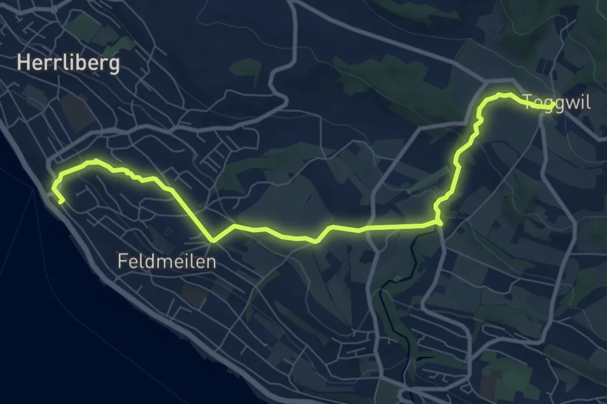
Medium · Trail
Herrliberg Feldmeilen – Toggwil
8.9 km · ↑ 231 m · 2 h 36 min · 12 km away
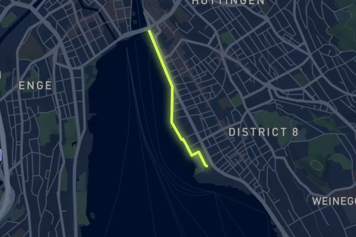
Easy · Trail
Zürichhorn - Bellvue
3.3 km · ↑ 4 m · 47 min · 12 km away
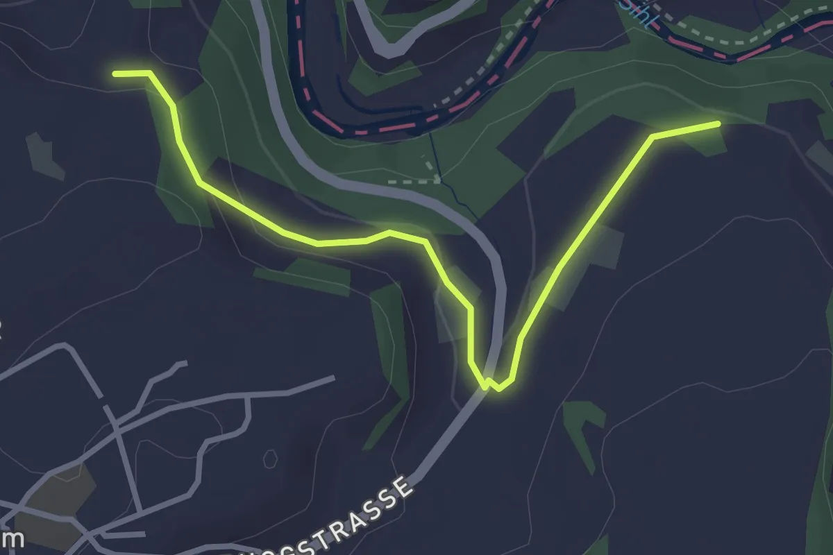
Easy · Trail
Sennweid - Neuhaus
3.0 km · ↑ 84 m · 54 min · 12 km away
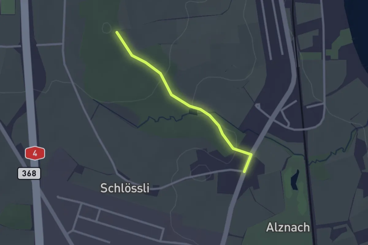
Easy · Trail
Langholz - Langrüti
2.1 km · ↑ 45 m · 35 min · 12 km away
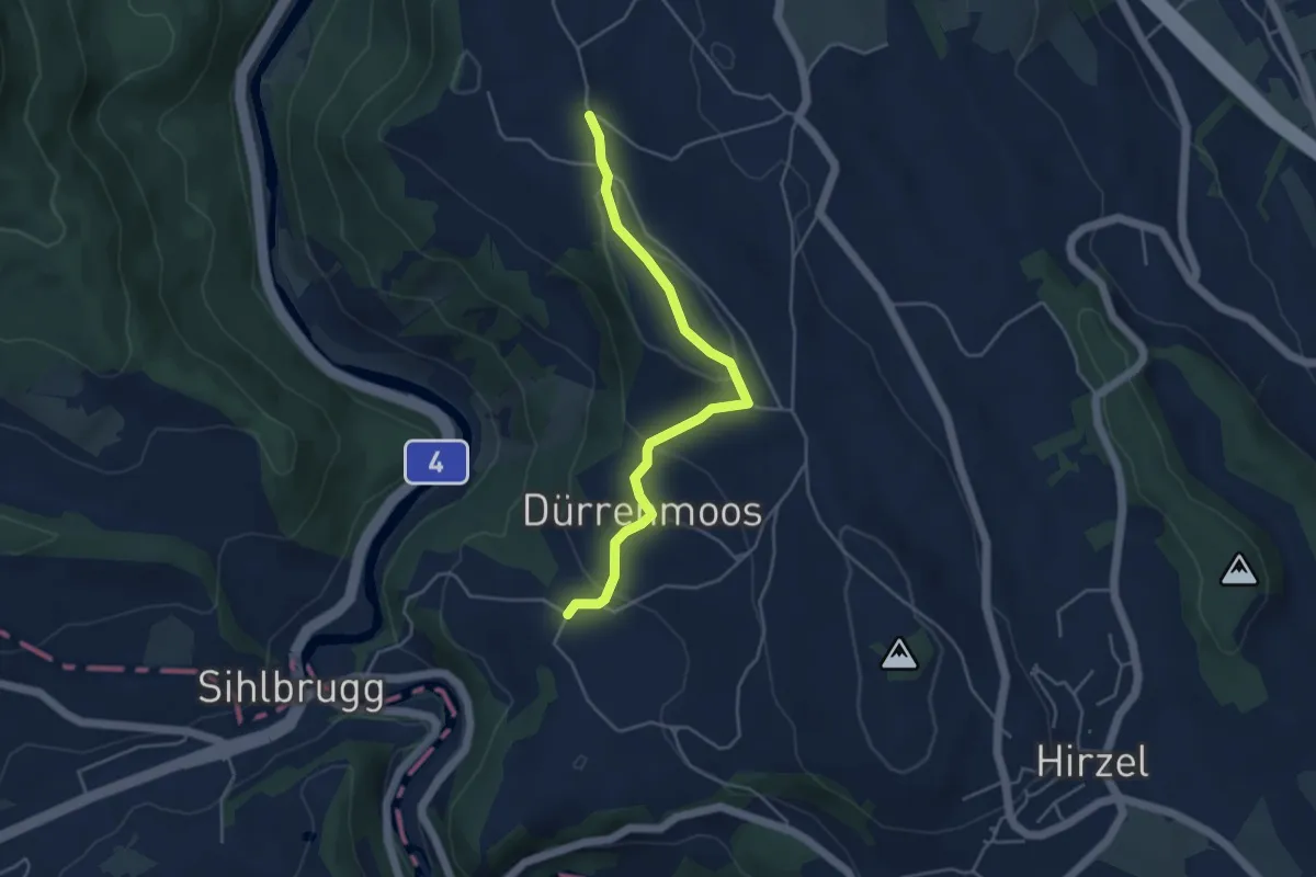
Easy · Trail
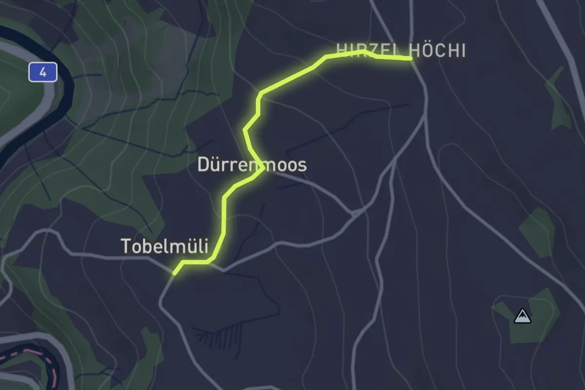
Zimmerberg – Tobelmüli
4.3 km · ↑ 140 m · 1 h 20 min · 12 km away
Easy · Trail
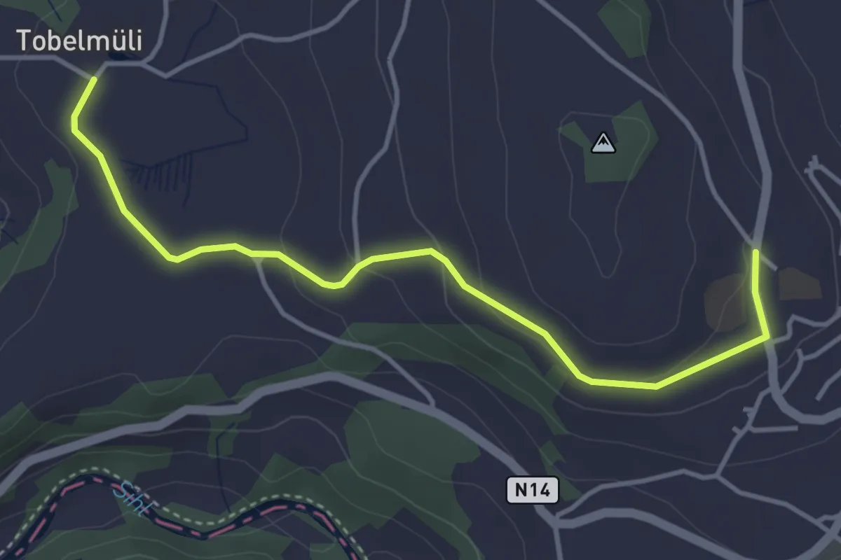
Tobelmüli – Höhi
2.4 km · ↑ 94 m · 47 min · 12 km away
Easy · Trail
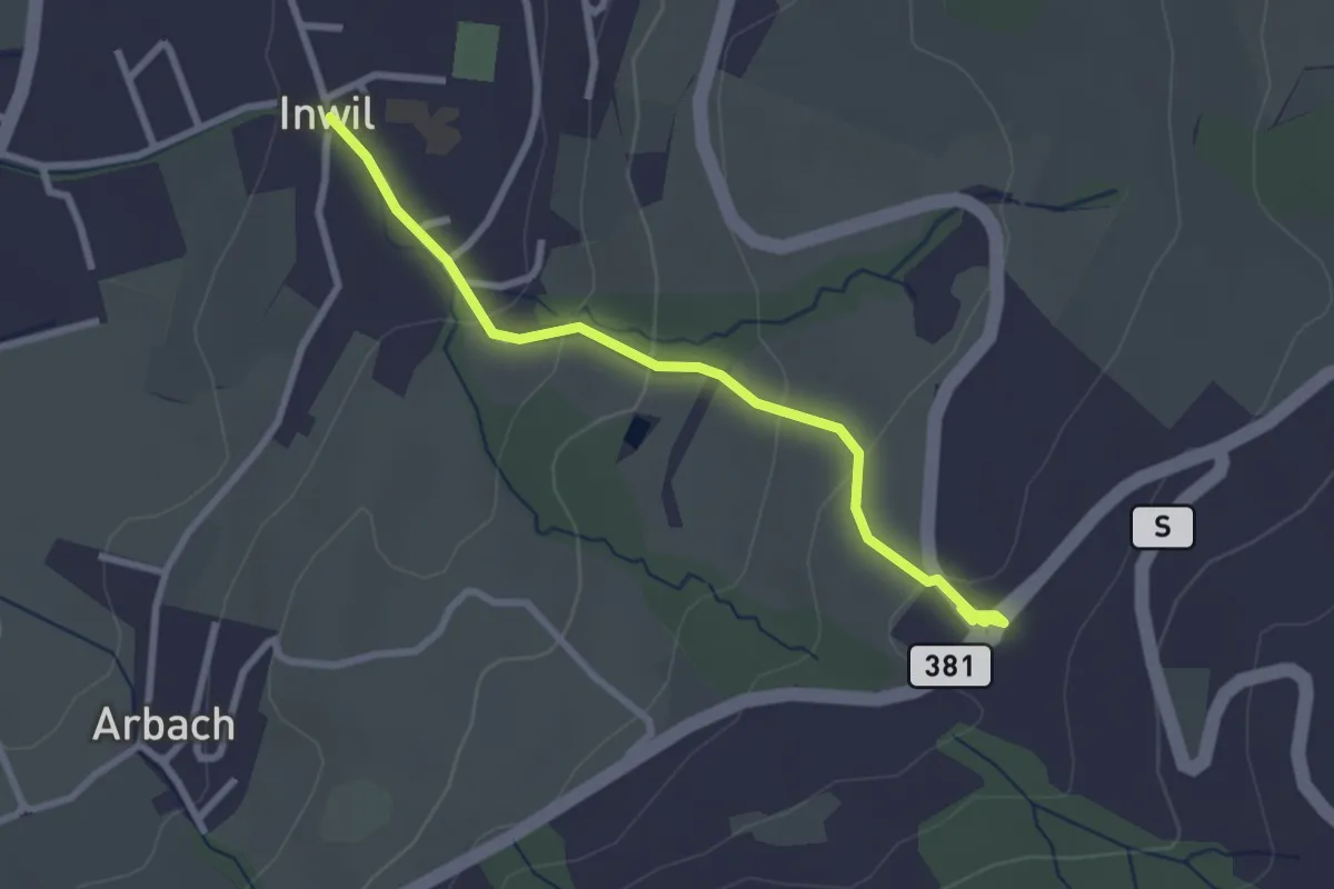
Tobelmüli – Hirzel
4.1 km · ↑ 108 m · 1 h 12 min · 12 km away
Easy · Trail
Inwil - Talacher
2.7 km · ↑ 119 m · 54 min · 12 km away
Easy · Trail
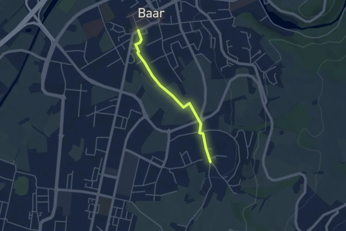
Baar Dorfstrasse - Inwil
3.3 km · ↑ 17 m · 48 min · 12 km away
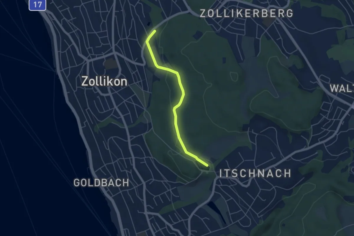
Easy · Trail
Zollikon – Allmend
4.3 km · ↑ 77 m · 1 h 11 min · 12 km away
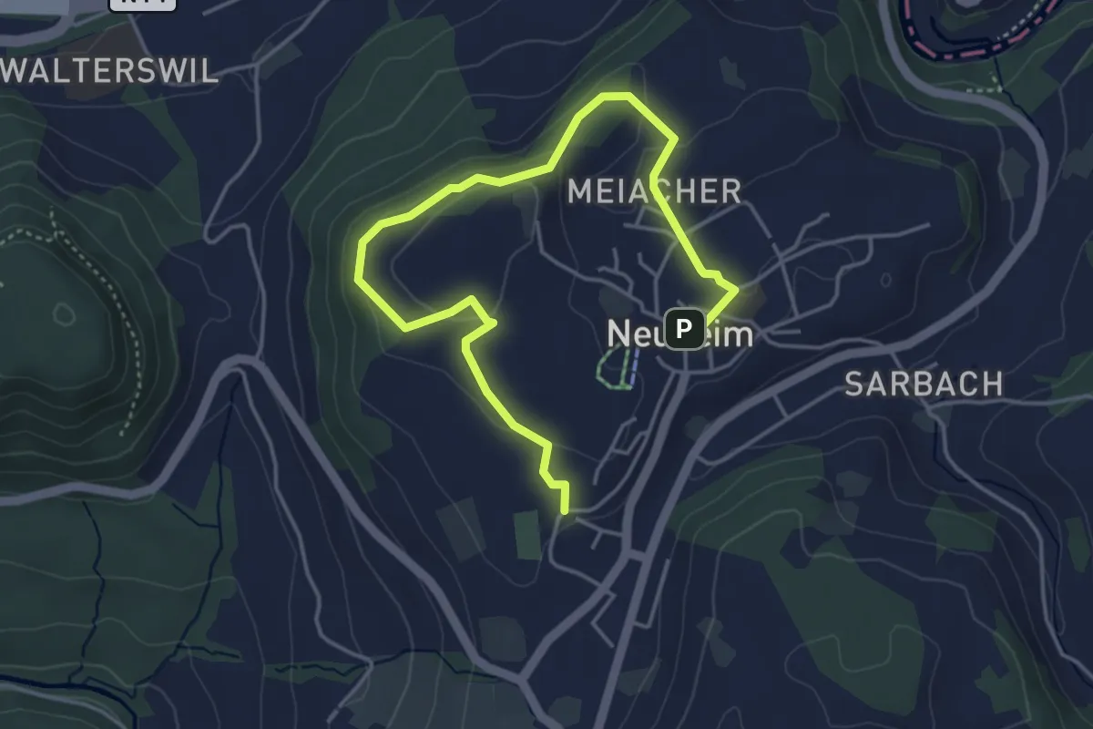
Easy · Trail
Josefsgütsch Rundwanderweg
5.2 km · ↑ 119 m · 1 h 29 min · 12 km away
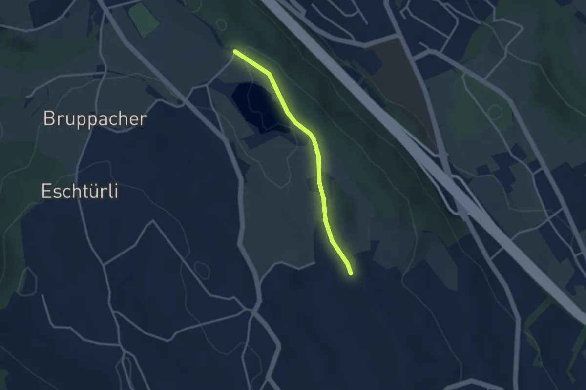
Easy · Trail
Bergweier – Simmismoos
2.5 km · ↑ 24 m · 38 min · 12 km away
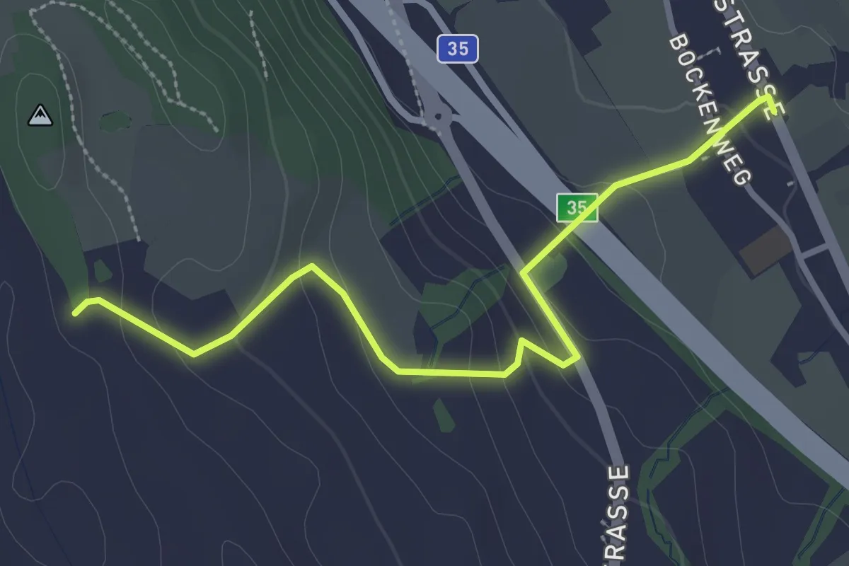
Easy · Trail
Simmismoos – Arn
3.0 km · ↑ 120 m · 59 min · 12 km away
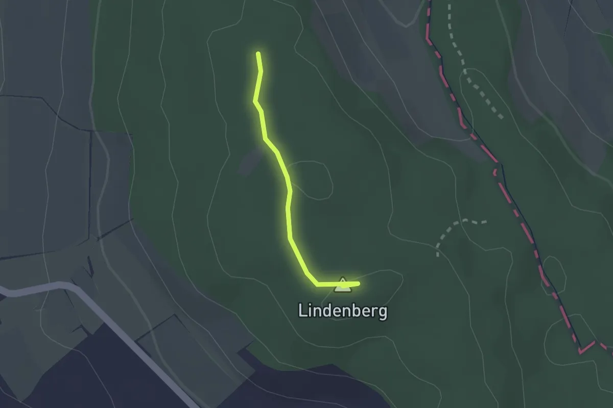
Easy · Summit
Lindenberg 872
1.5 km · ↑ 16 m · 24 min · 12 km away
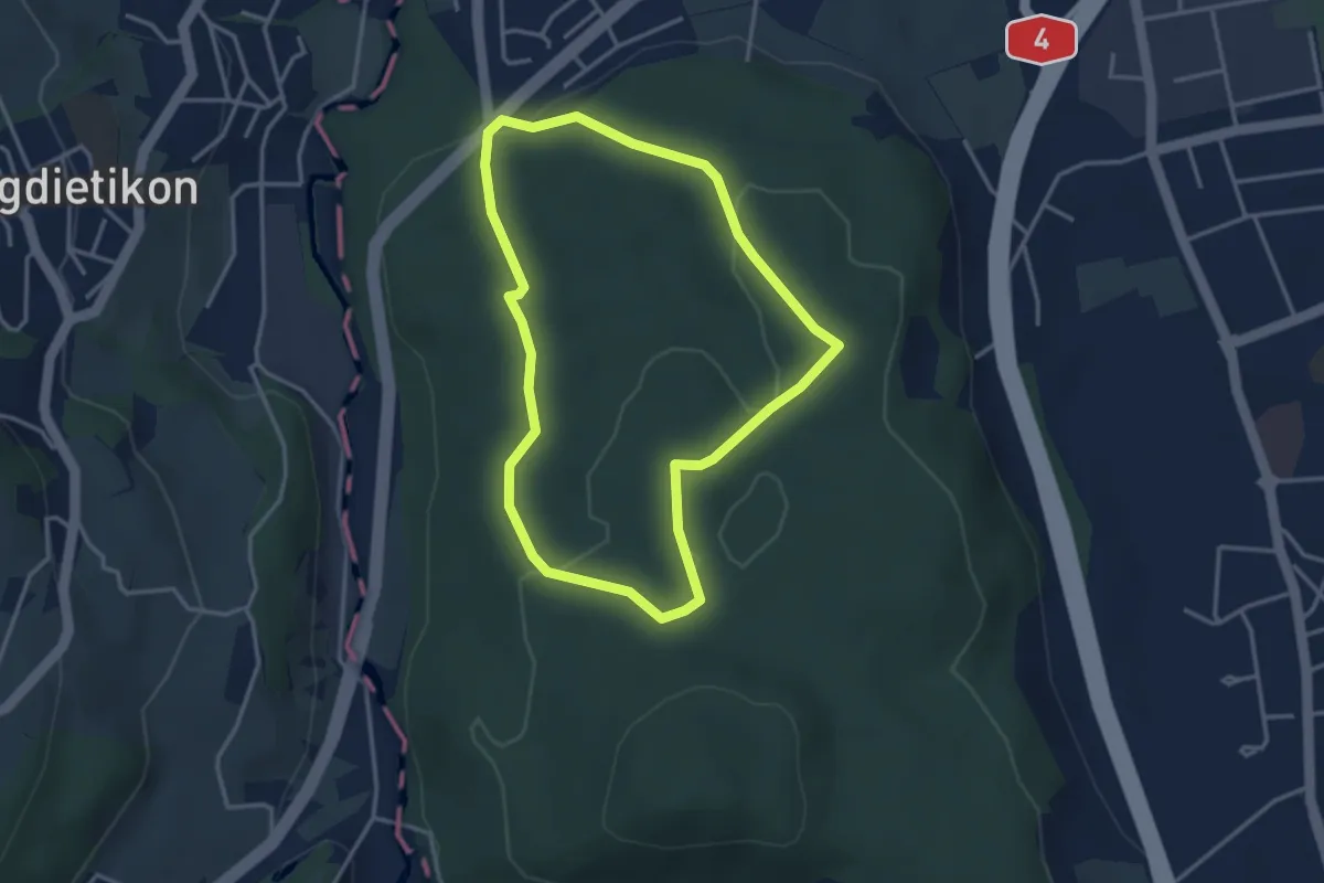
Easy · Trail
Rundweg
3.2 km · ↑ 69 m · 57 min · 12 km away
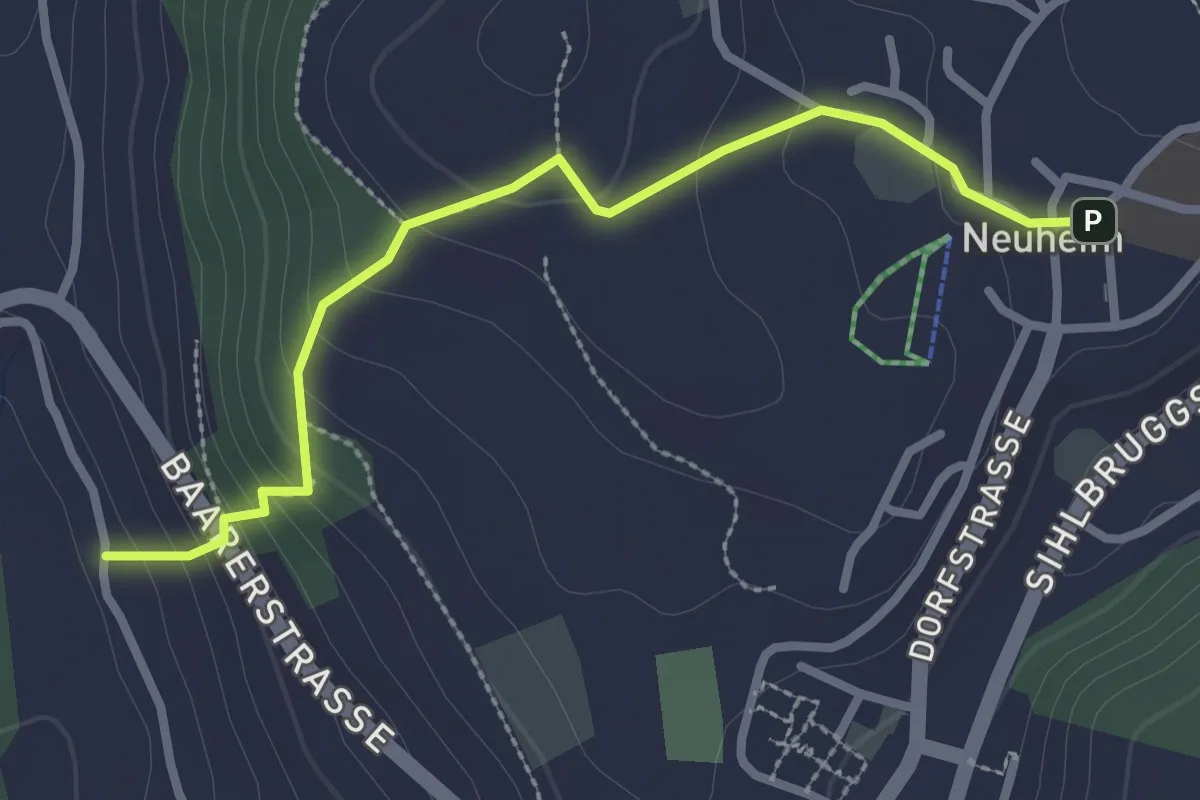
Easy · Trail
Neuheim - Baarburg
2.7 km · ↑ 177 m · 1 h 2 min · 12 km away
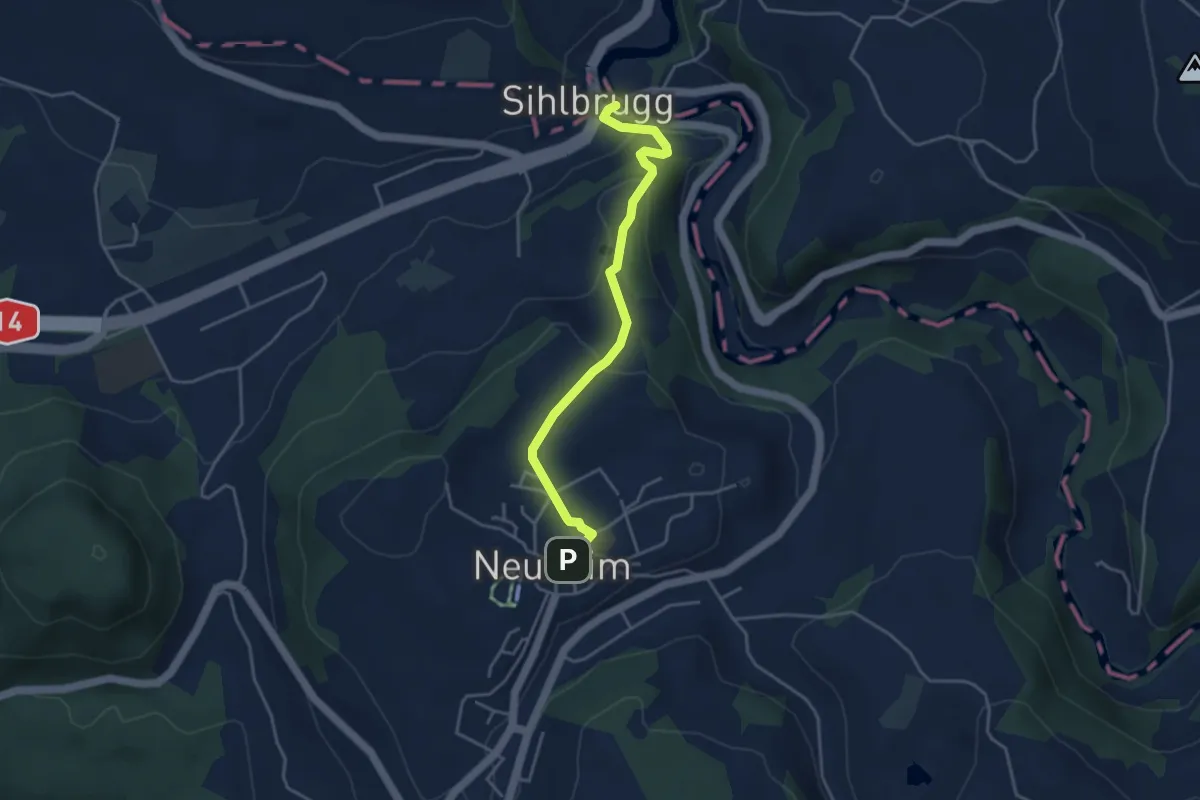
Easy · Trail
Sihlbrugg Dorf – Neuheim
4.0 km · ↑ 138 m · 1 h 14 min · 12 km away
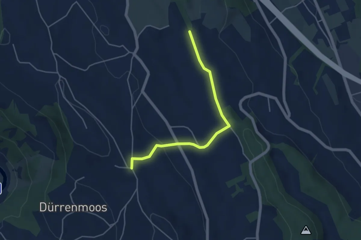
Easy · Trail
Simmismoos – Höhi
3.7 km · ↑ 70 m · 1 h 2 min · 12 km away
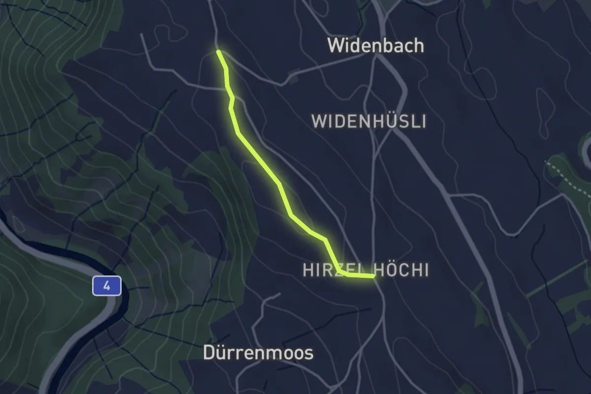
Easy · Trail
Zimmerberg – Höhi
2.5 km · ↑ 46 m · 41 min · 12 km away
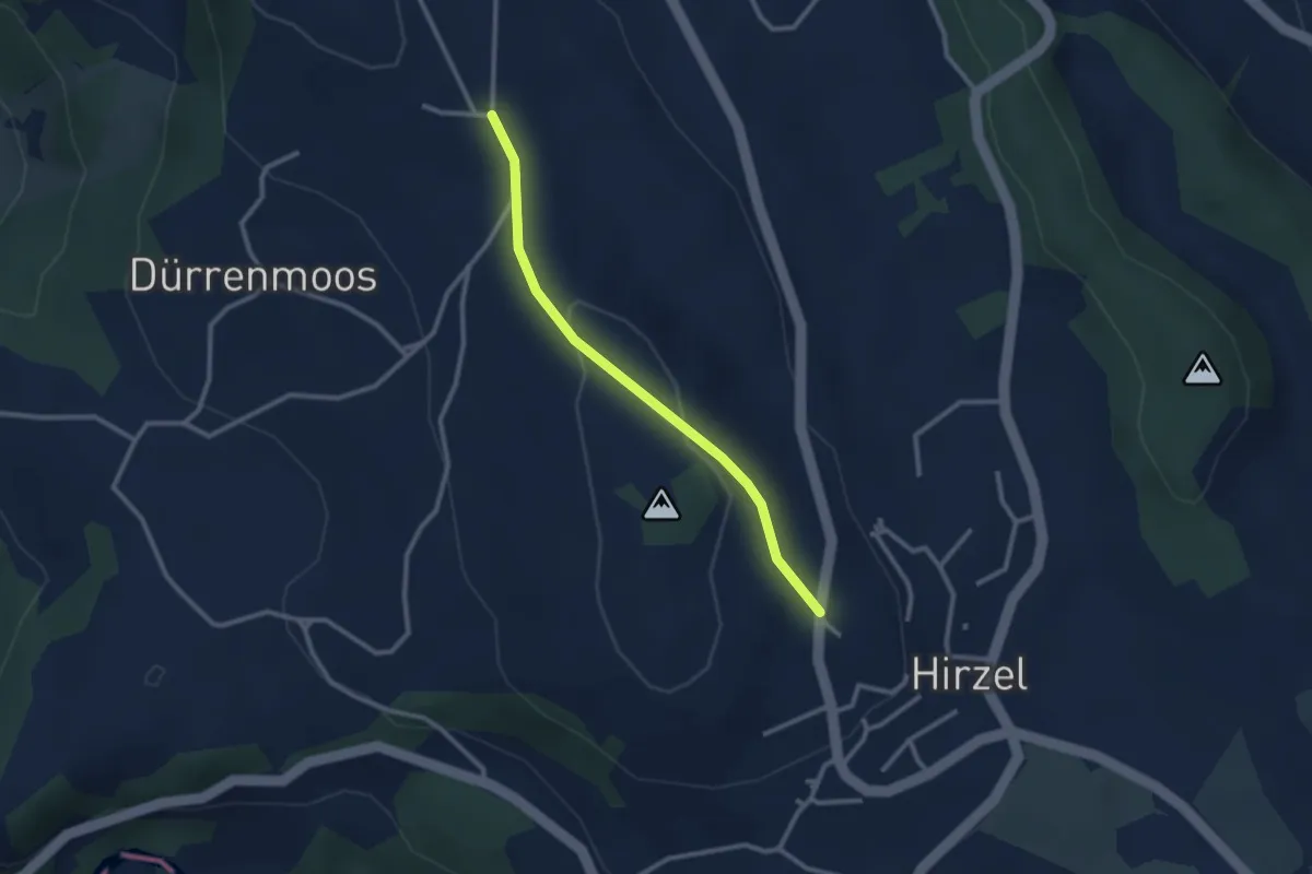
Easy · Trail
Höhi – Hirzel
2.5 km · ↑ 64 m · 44 min · 12 km away
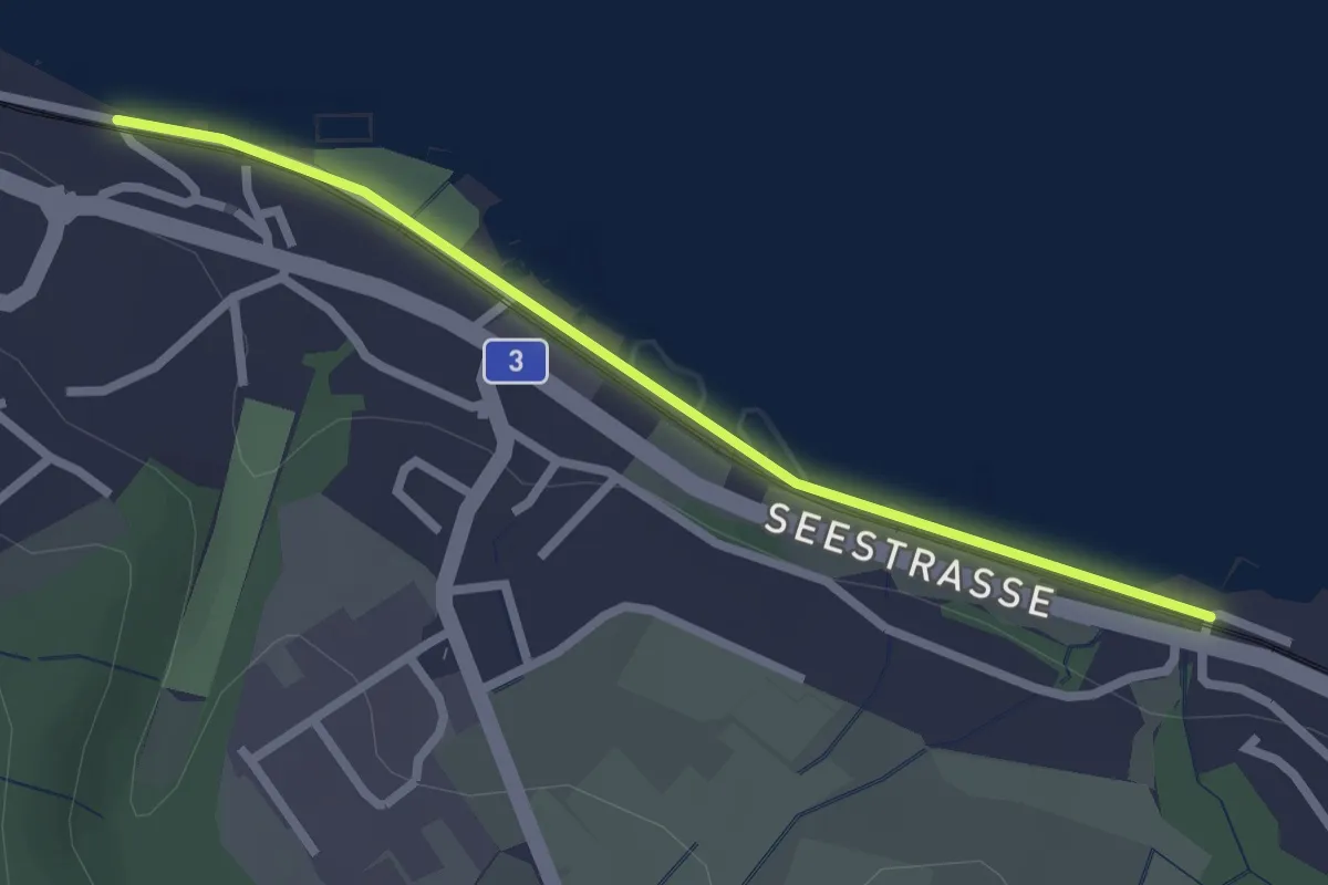
Easy · Trail
Käpfnach – Meilibach
2.4 km · ↑ 8 m · 35 min · 12 km away
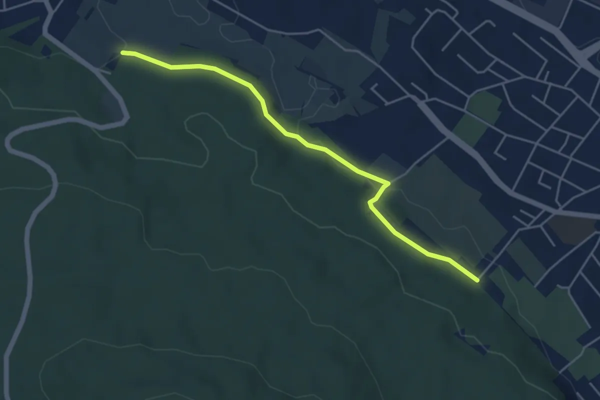
Easy · Trail
Altstetten – Stärpel
4.1 km · ↑ 94 m · 1 h 11 min · 13 km away
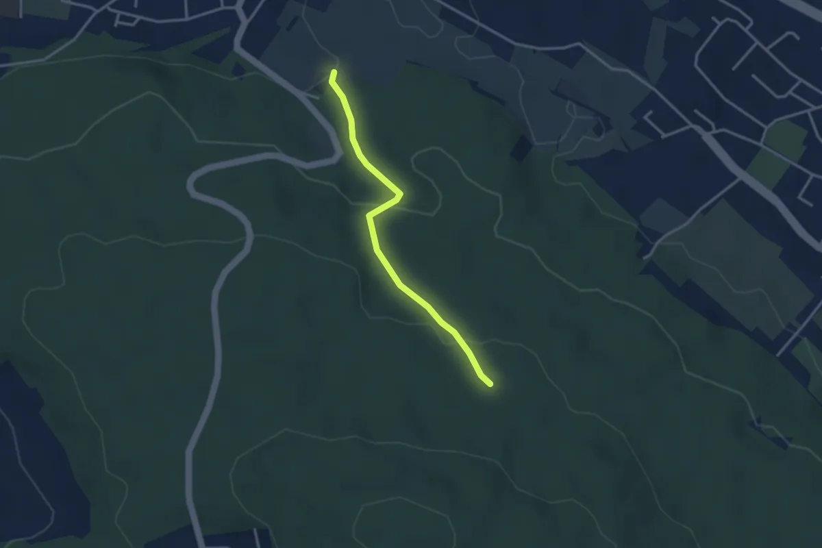
Easy · Trail
Stärpel – Frauenmatt
2.8 km · ↑ 113 m · 54 min · 13 km away
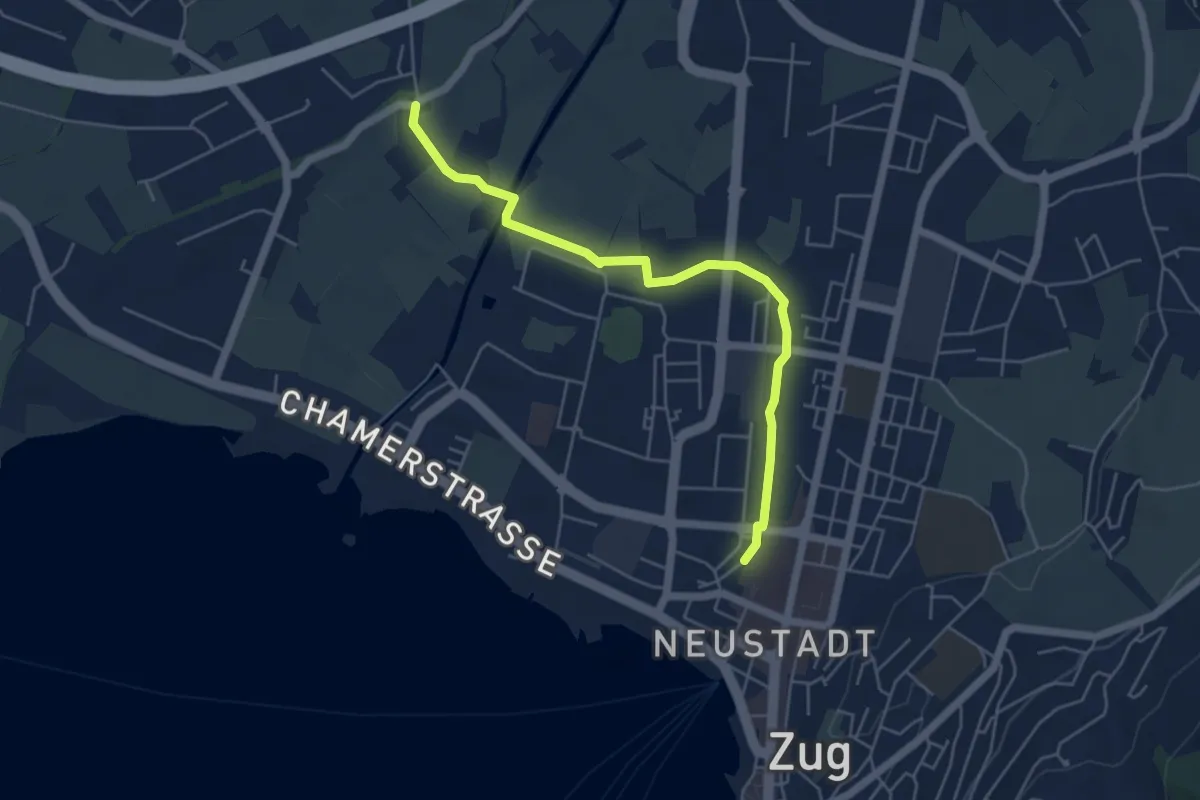
Easy · Trail
Zug Bahnhof - Chollermühli
5.2 km · ↑ 0 m · 1 h 13 min · 13 km away
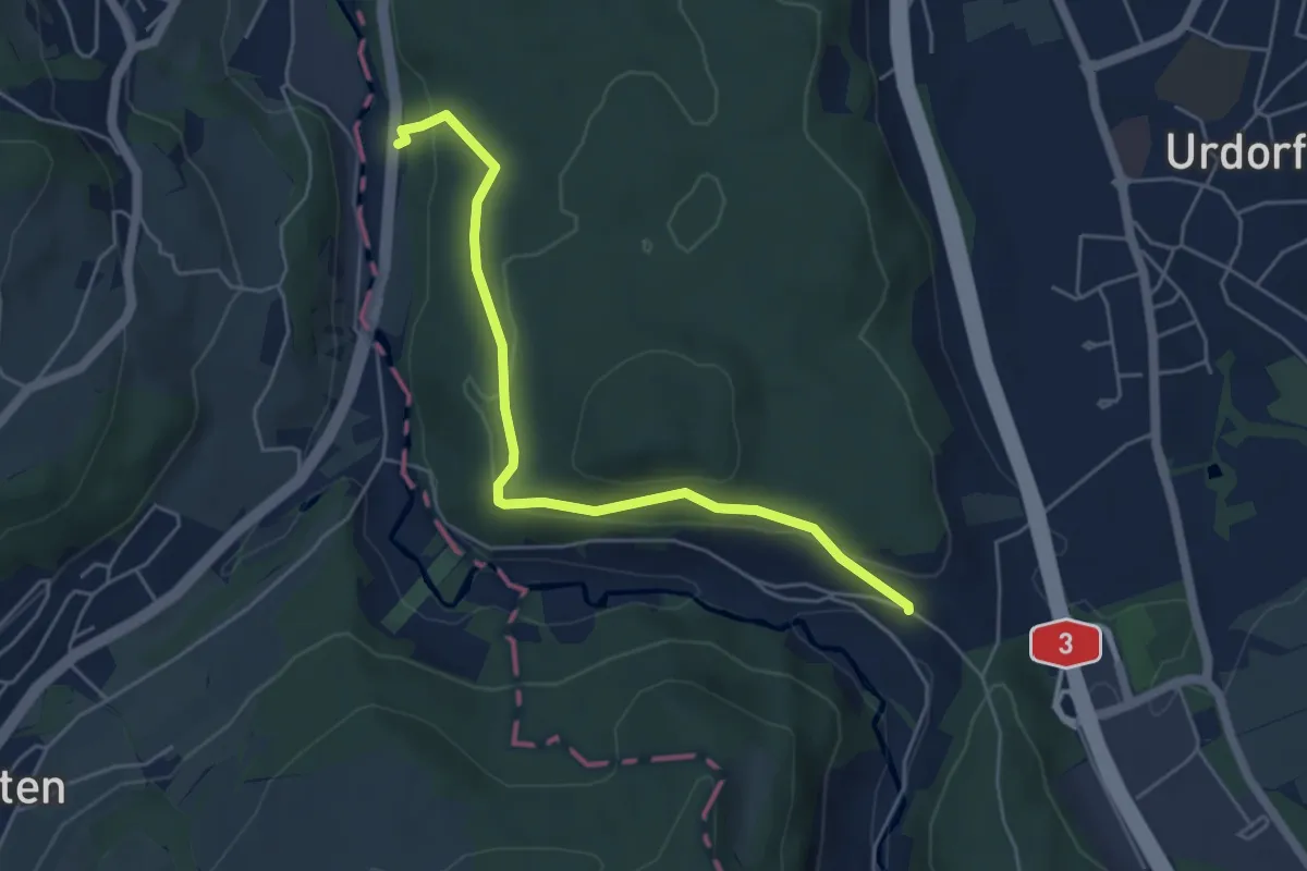
Easy · Trail
Reppischhof - Unter Reppischtal
5.0 km · ↑ 190 m · 1 h 36 min · 13 km away
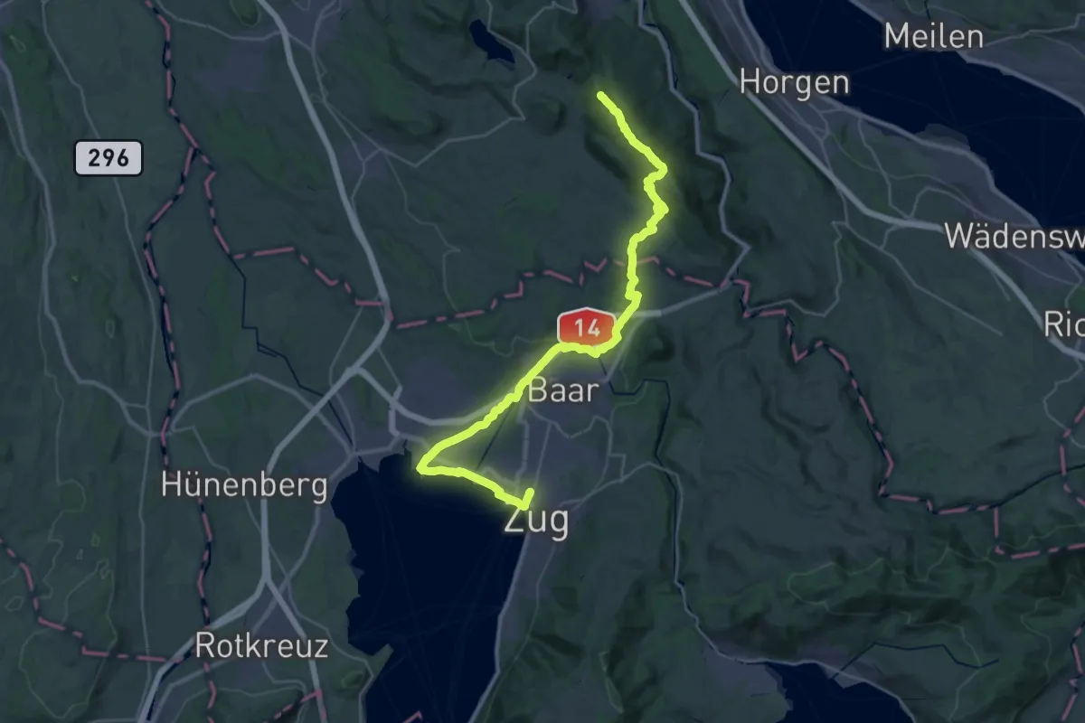
Demanding · Summit
Zürich-Zugerland-Panoramaweg - Etappe 2
35.3 km · ↑ 671 m · 9 h 47 min · 13 km away
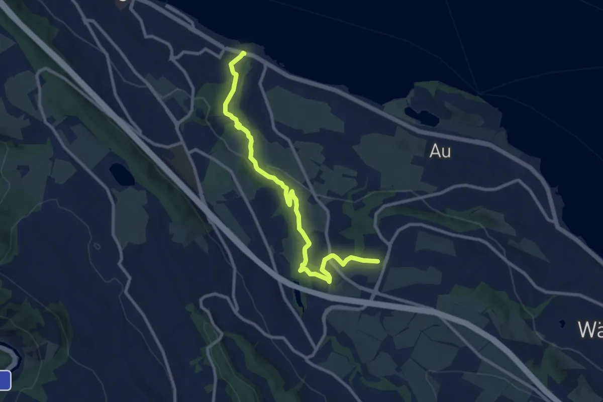
Medium · Trail
Käpfnach (Bus) – Neubühl
9.0 km · ↑ 212 m · 2 h 36 min · 13 km away
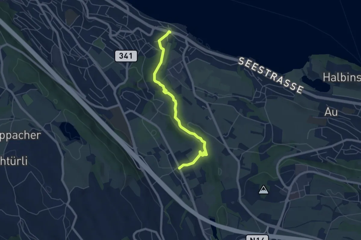
Easy · Trail
Käpfnach (Bus) – Arn
5.3 km · ↑ 151 m · 1 h 35 min · 13 km away
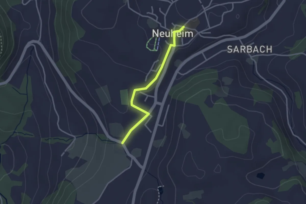
Easy · Trail
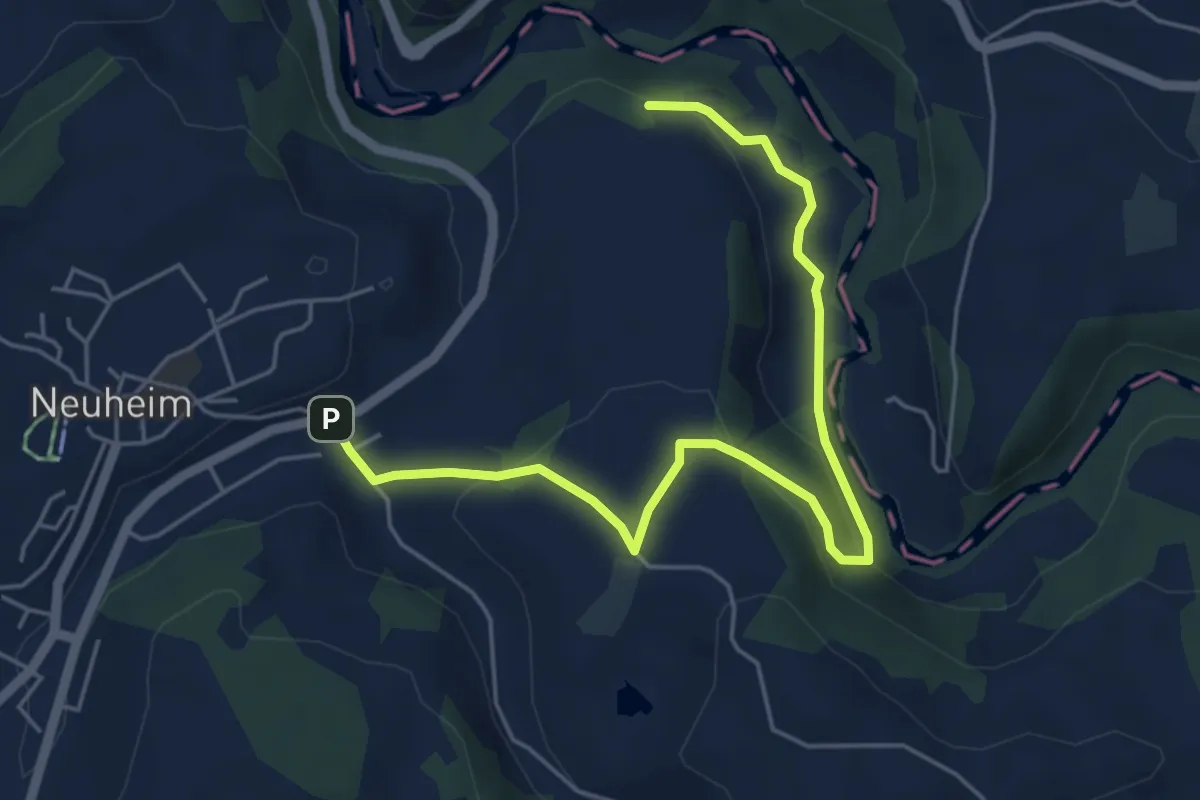
Hinterburg - Neuheim
2.4 km · ↑ 37 m · 39 min · 13 km away
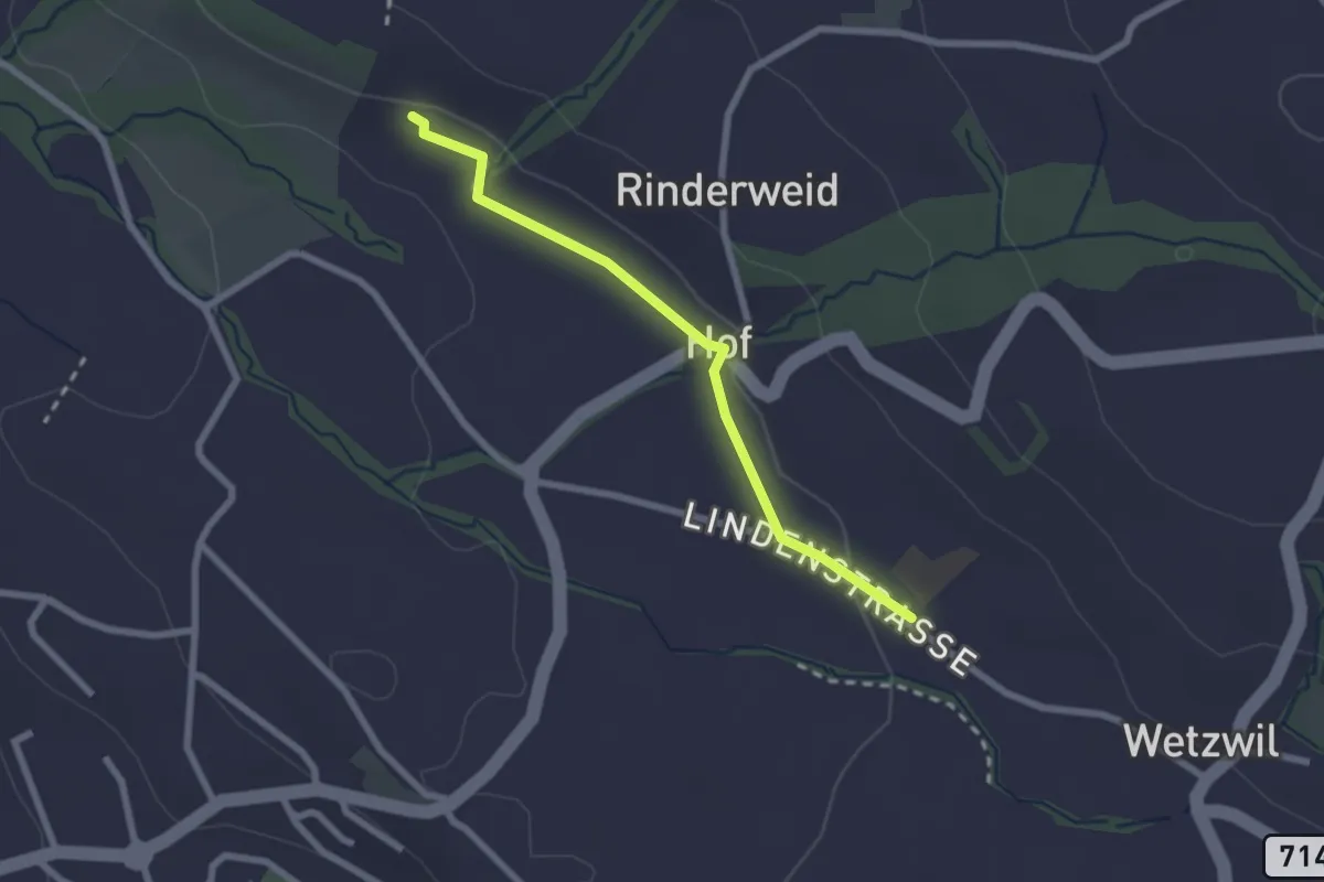
Easy · Trail
Blüemlisalp - Wetzwil Kirche
2.2 km · ↑ 15 m · 33 min · 13 km away
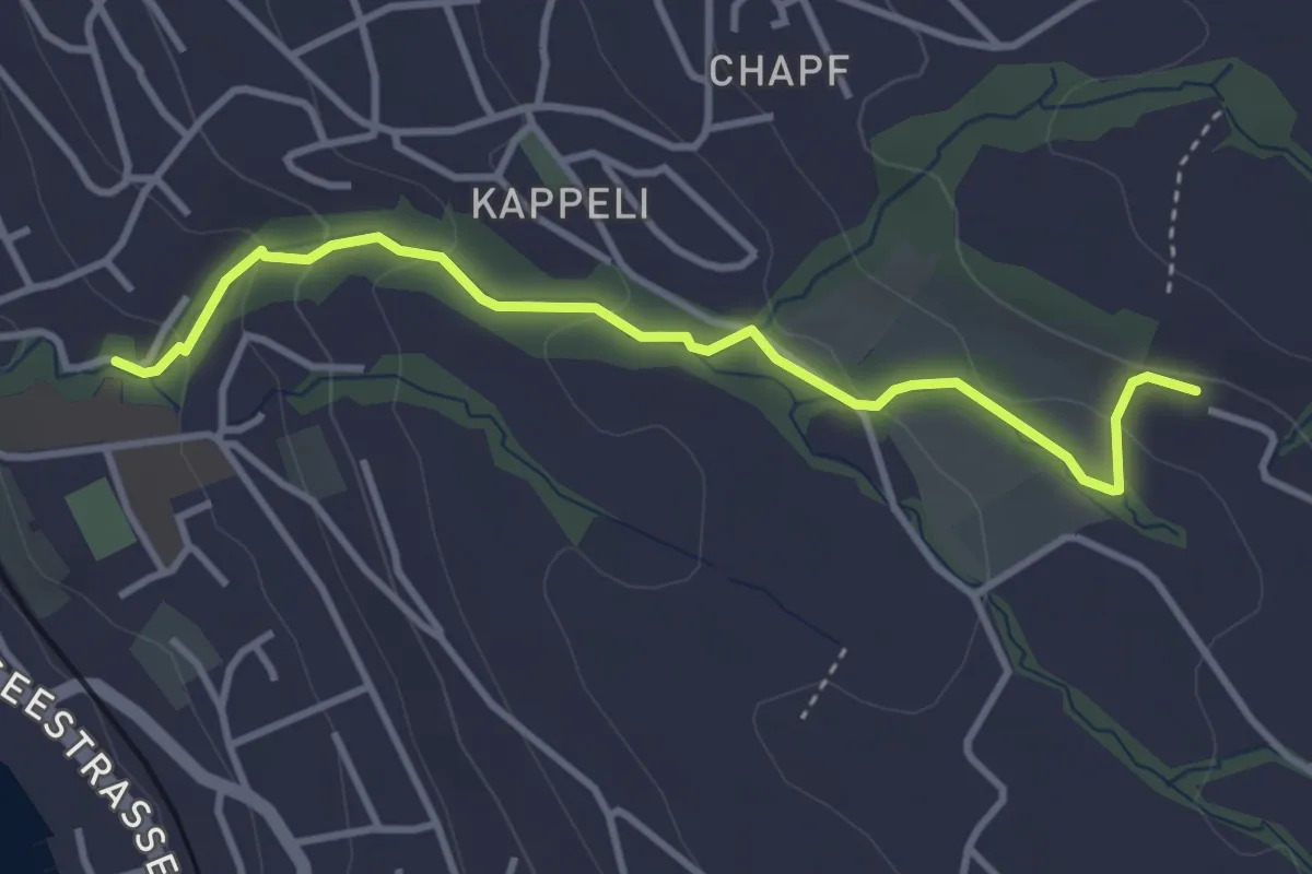
Easy · Trail
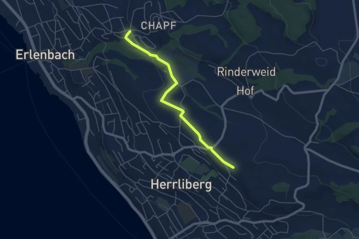
Erlenbach Dorfbach - Blüemlisalp
3.6 km · ↑ 147 m · 1 h 10 min · 13 km away
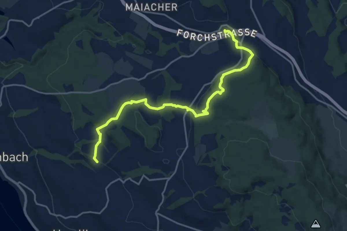
Medium · Trail
Blüemlisalp – Forch
11.9 km · ↑ 335 m · 3 h 33 min · 13 km away
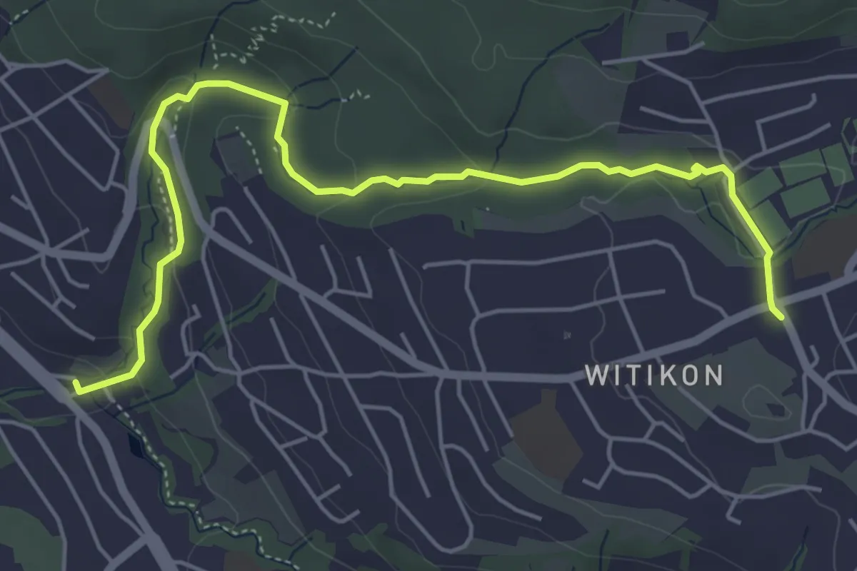
Easy · Trail
Burgwis - Witikon
5.8 km · ↑ 143 m · 1 h 40 min · 13 km away
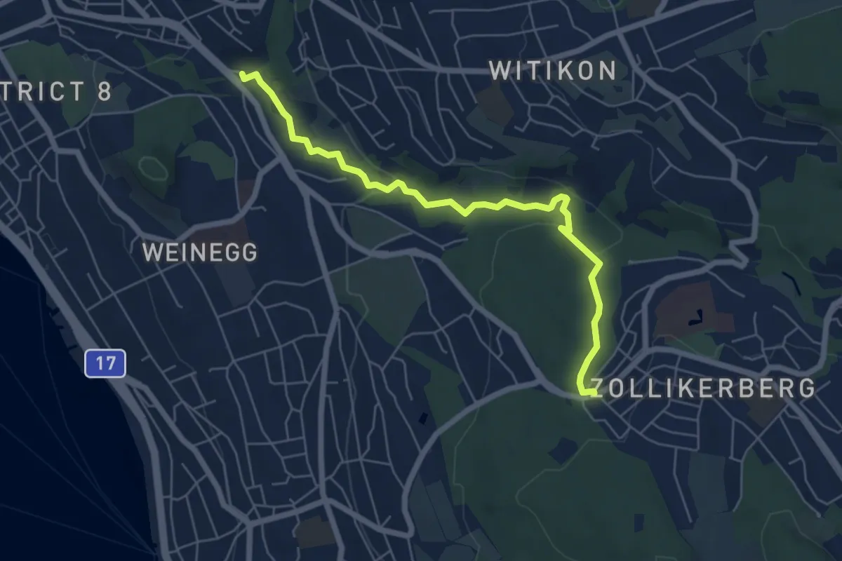
Easy · Trail
Burgwis - Waldburg
6.0 km · ↑ 128 m · 1 h 41 min · 13 km away
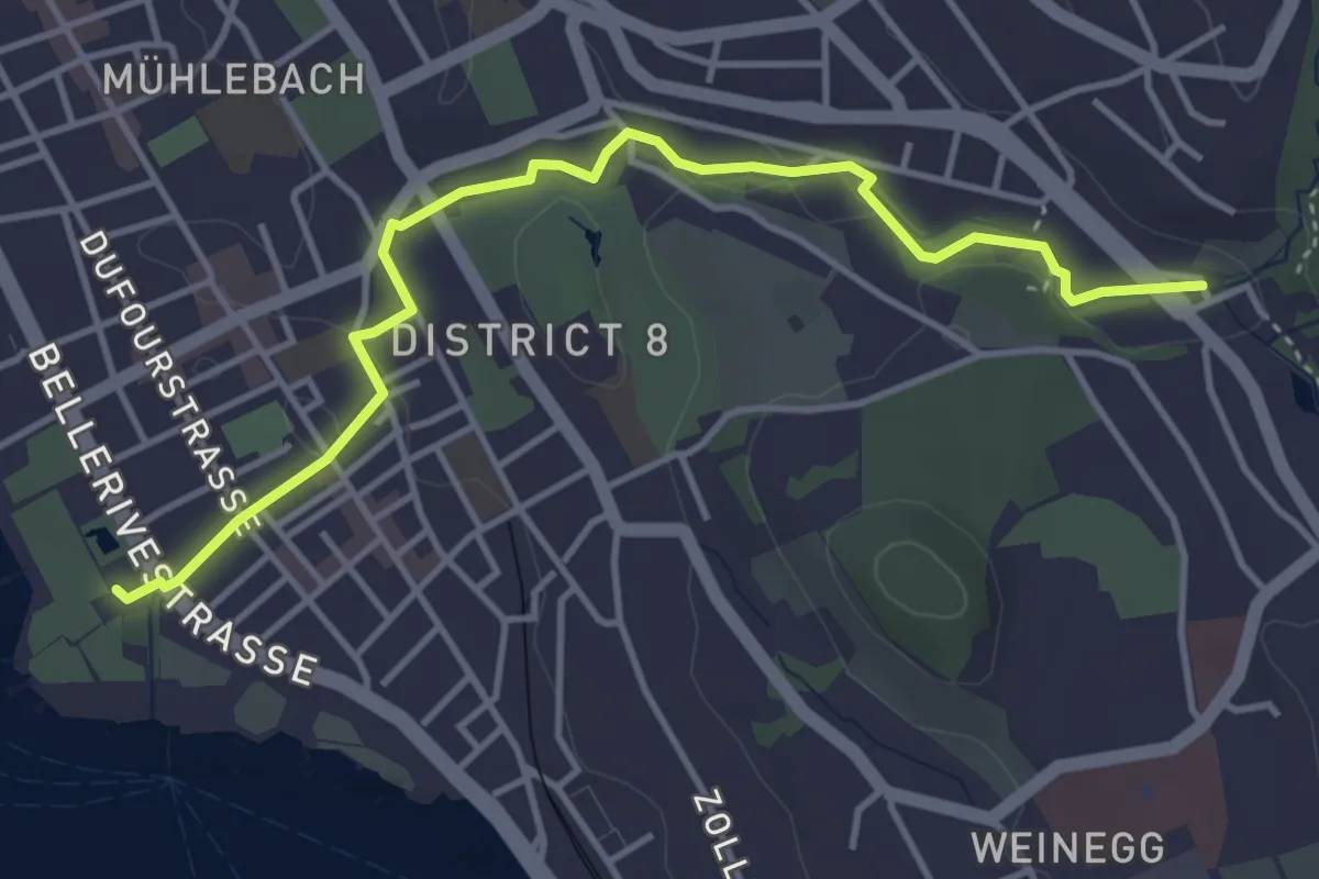
Easy · Trail
Burgwis - Zürichhorn
4.4 km · ↑ 49 m · 1 h 8 min · 13 km away
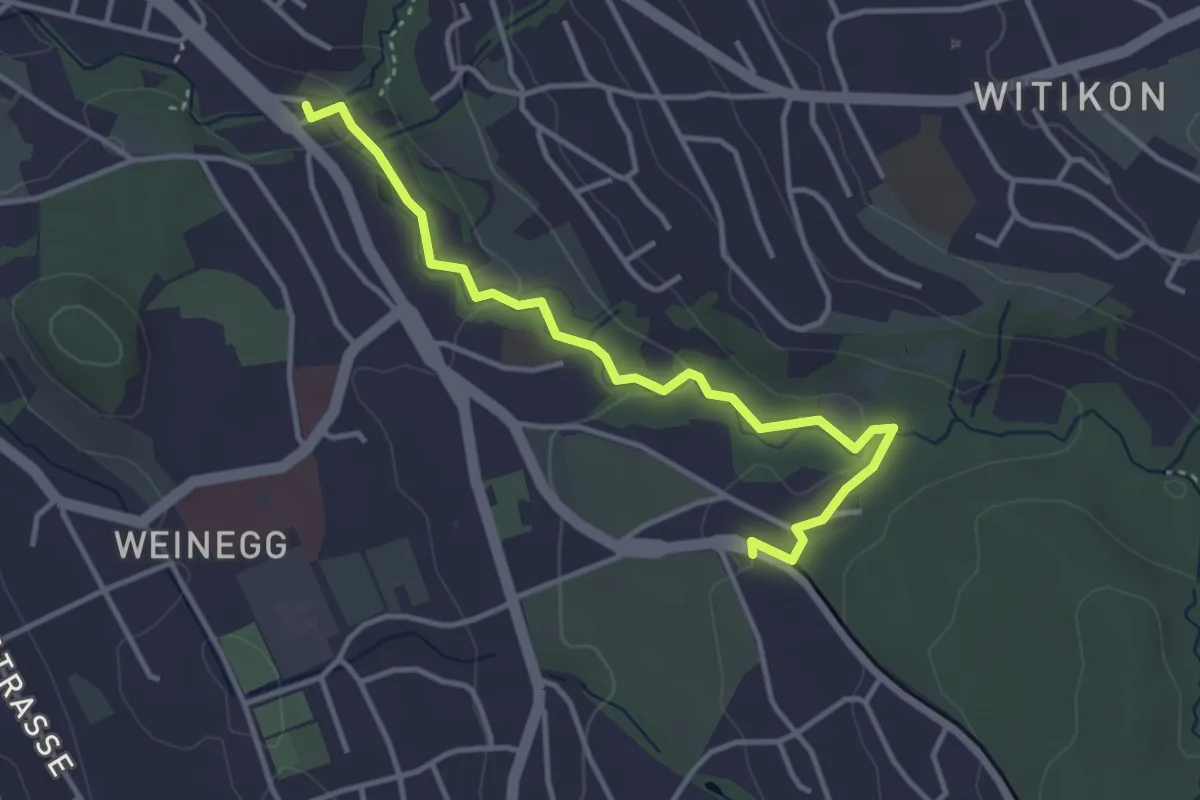
Easy · Trail
Burgwis – Rehalp
3.8 km · ↑ 69 m · 1 h 3 min · 13 km away
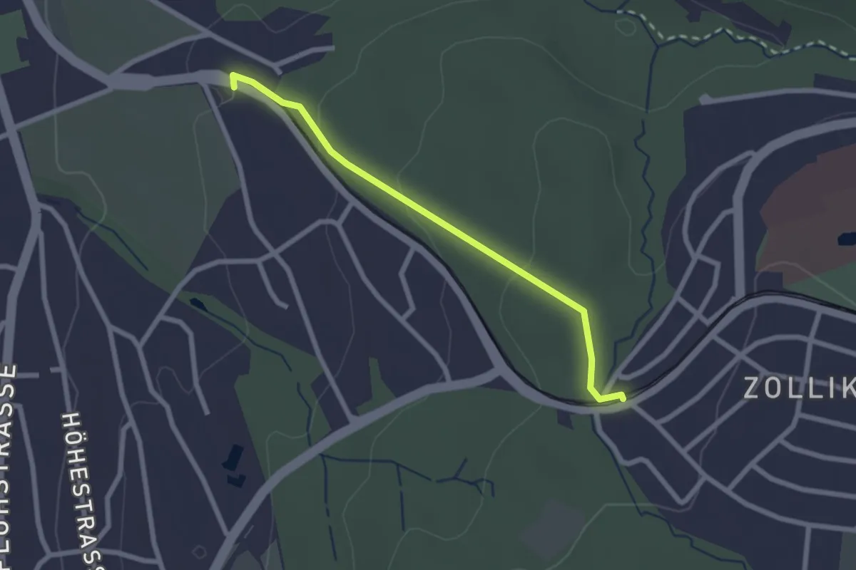
Easy · Trail
Rehalp – Waldburg
2.2 km · ↑ 64 m · 39 min · 13 km away
Easy · Trail
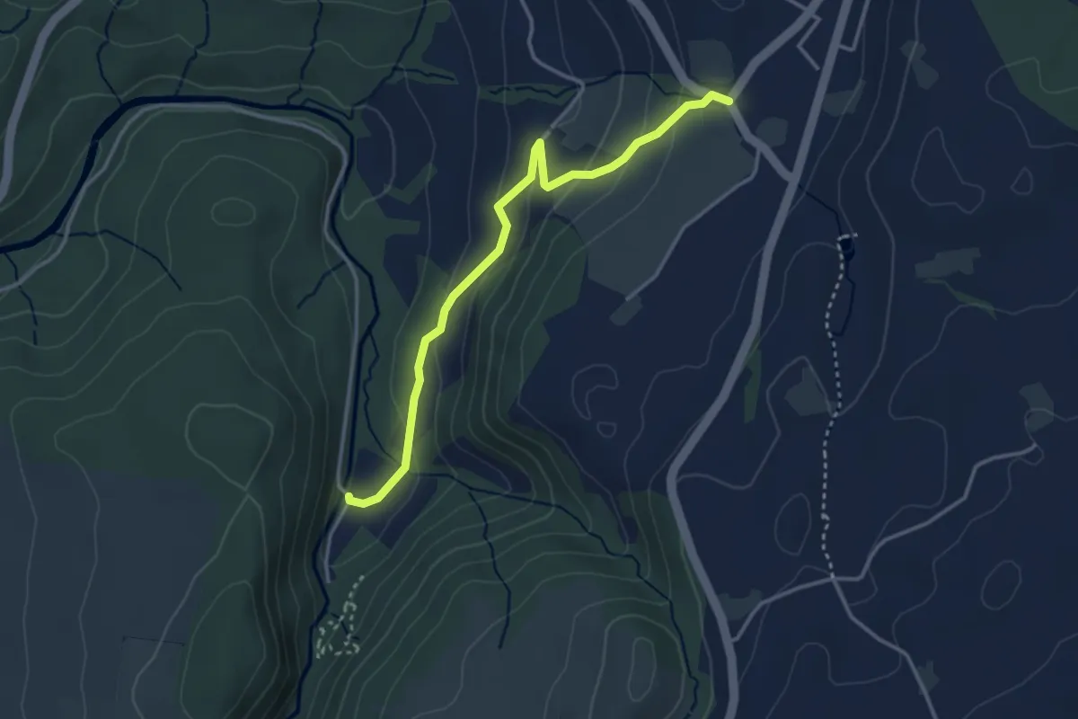
Höllbrücke - Hinterburg
3.4 km · ↑ 150 m · 1 h 8 min · 13 km away
Easy · Trail
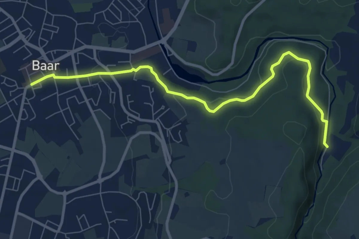
Höllbrücke - Dorfstrasse
7.6 km · ↑ 194 m · 2 h 13 min · 13 km away
Easy · Trail
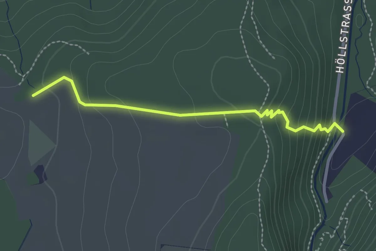
Höllbrücke - Ober Allmend
2.3 km · ↑ 128 m · 49 min · 13 km away
Easy · Trail
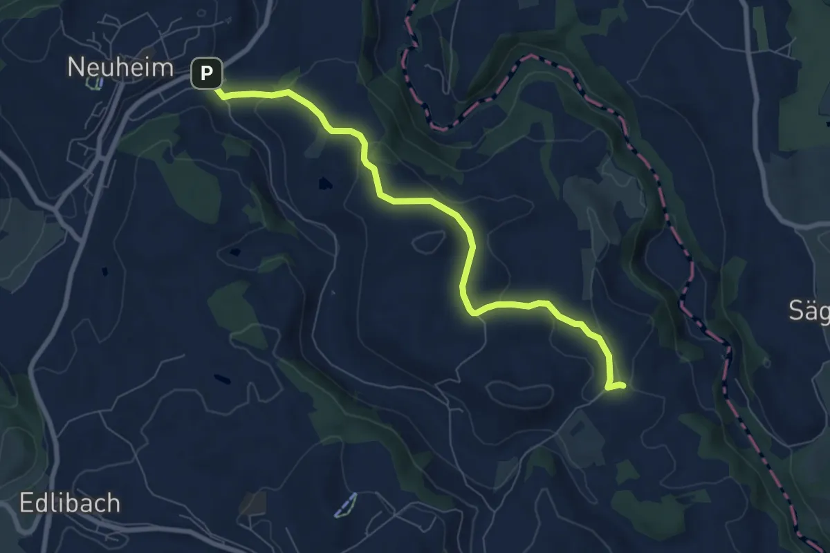
Sarbach - Schwand
7.4 km · ↑ 156 m · 2 h 5 min · 13 km away
Easy · Trail
Sarbach - Sennweid
5.9 km · ↑ 190 m · 1 h 48 min · 13 km away
Easy · Trail
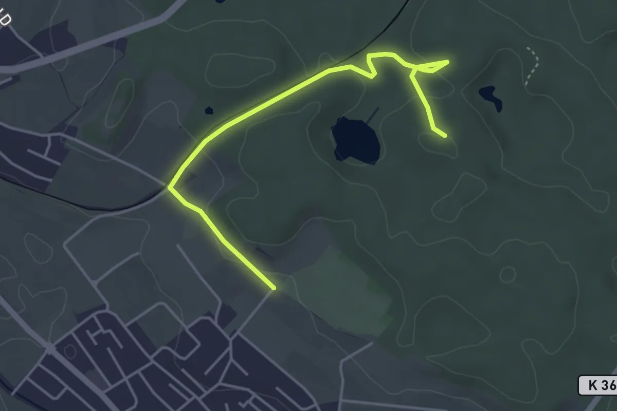
Erlenbach Allmend – Wängi
4.7 km · ↑ 77 m · 1 h 17 min · 13 km away
Easy · Trail
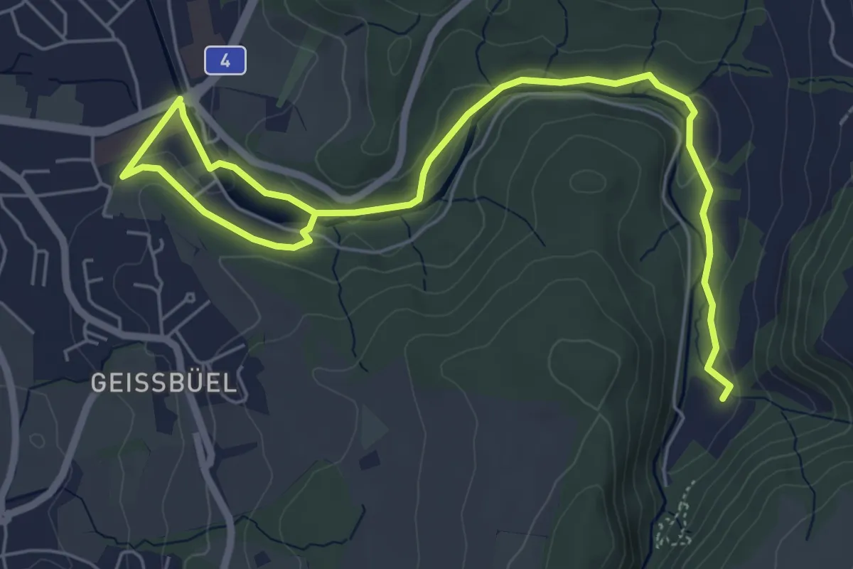
Erdmannlistein – Tierpark
4.3 km · ↑ 62 m · 1 h 9 min · 13 km away
Easy · Trail
Baar - Höllgrotten
7.7 km · ↑ 130 m · 2 h 6 min · 13 km away