Trails near Altdorf UR
351 hikes starting within 15 km, nearest first.
Nearest first, page 1 of 8
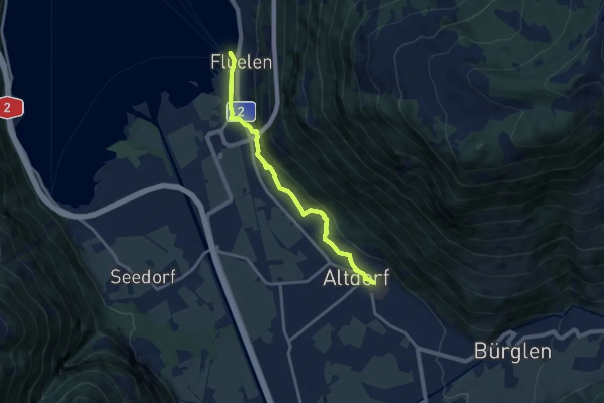
Easy · Trail
ViaGottardo
6.9 km · ↑ 112 m · 1 h 53 min · under 1 km away
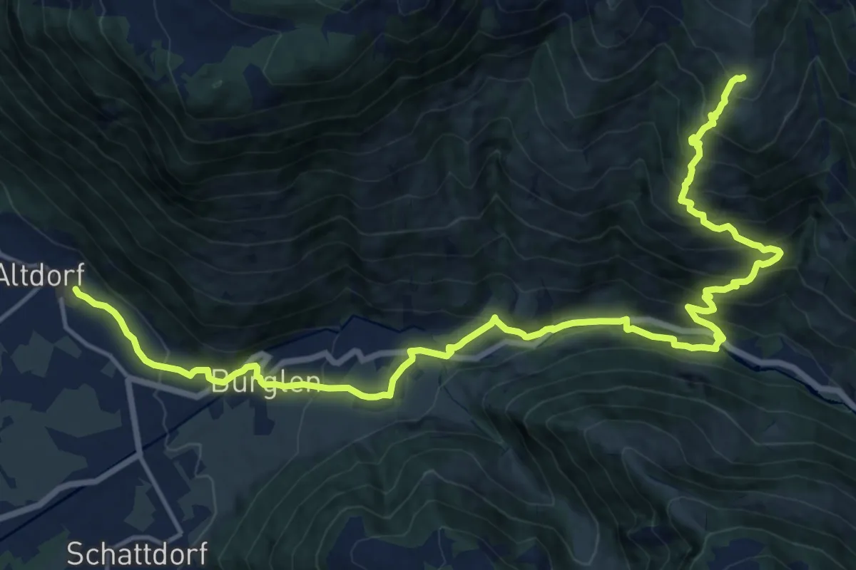
Demanding · Trail
ViaSuworow
19.3 km · ↑ 1252 m · 7 h 16 min · under 1 km away
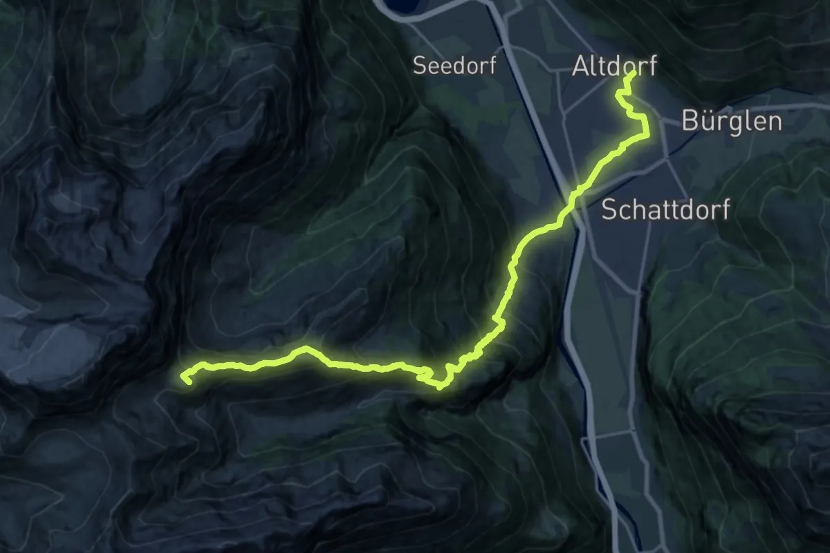
Demanding · Summit
Via Alpina
23.8 km · ↑ 1697 m · 9 h 18 min · under 1 km away
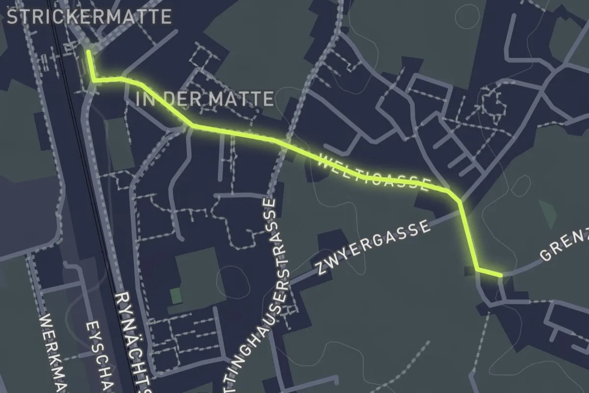
Easy · Trail
Altdorf Bahnhof – Ringli
2.1 km · ↑ 18 m · 32 min · 1 km away
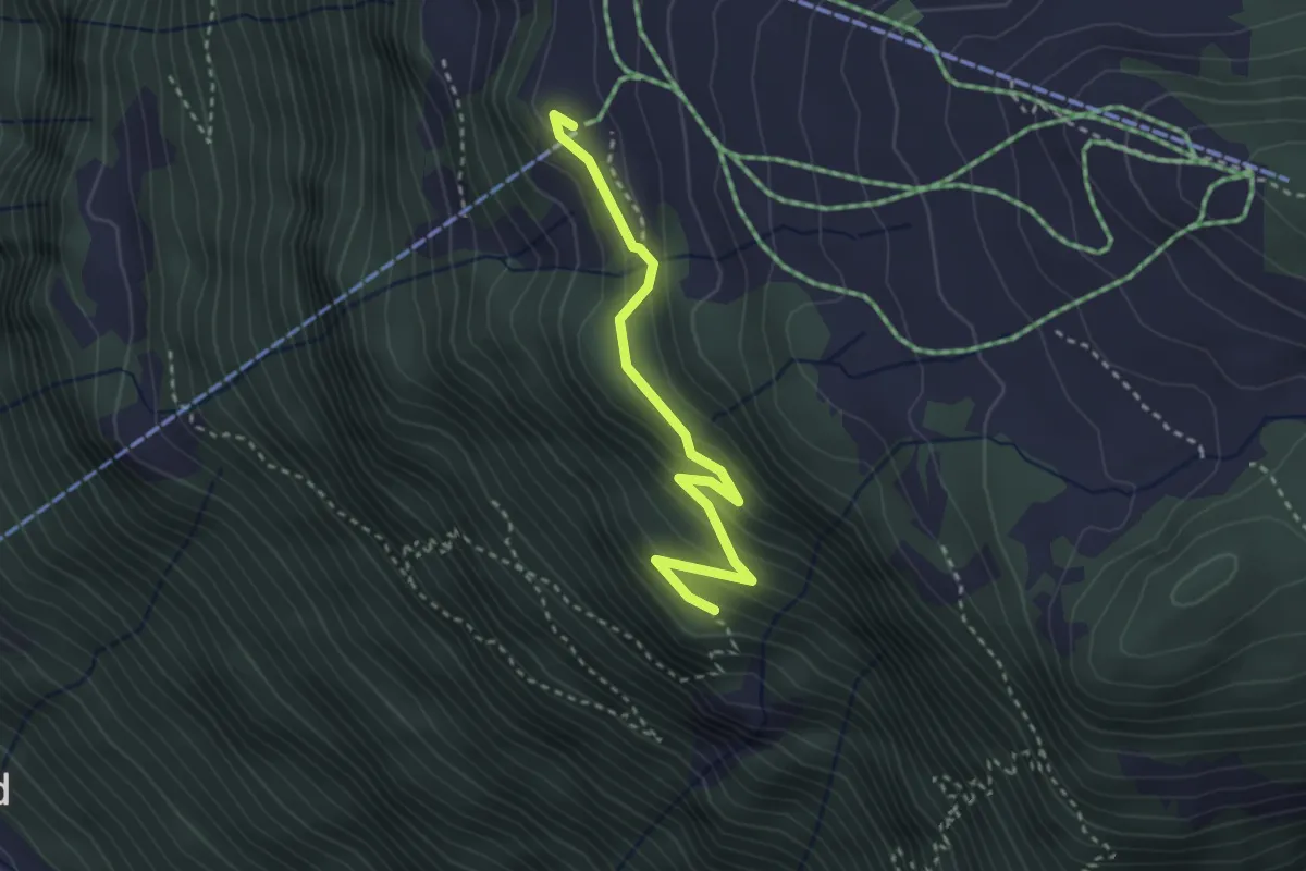
Medium · Trail
Bergstation – Rot Flue
3.0 km · ↑ 190 m · 1 h 7 min · 1 km away
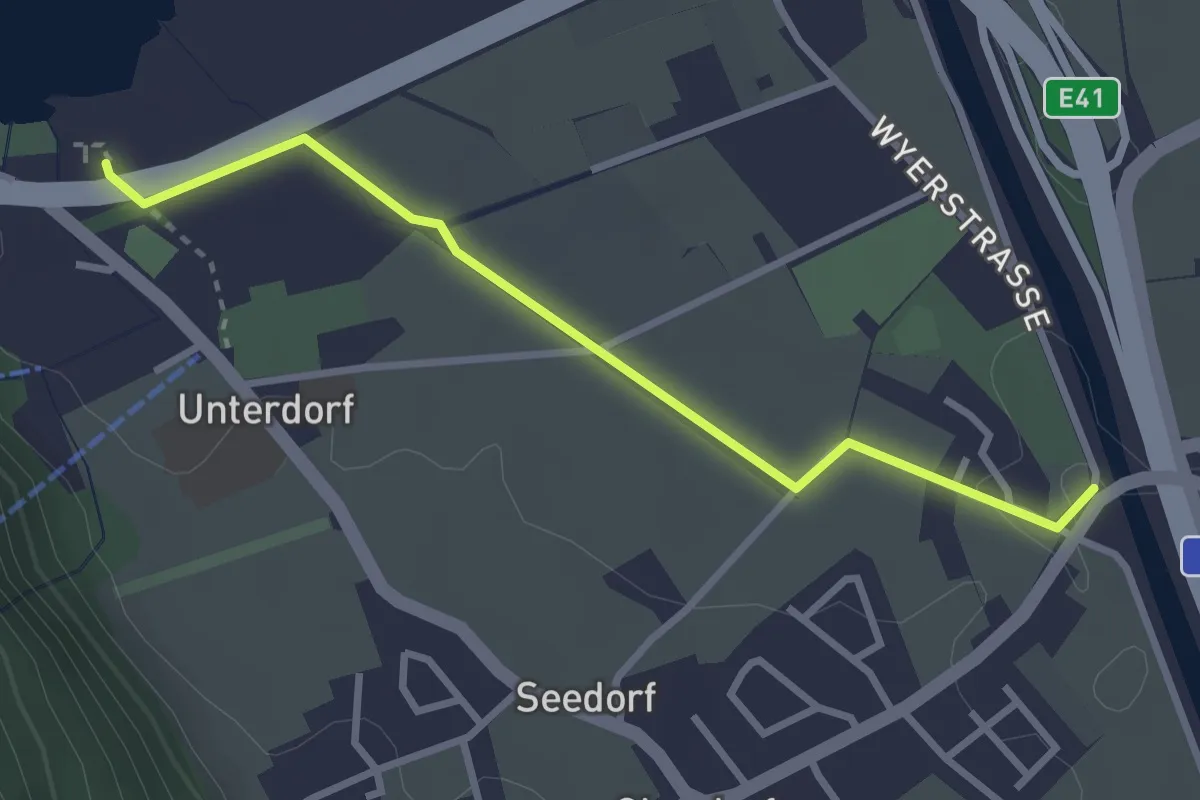
Easy · Trail
Seedorfer Brücke-Seerestaurant
3.0 km · ↑ 4 m · 43 min · 2 km away
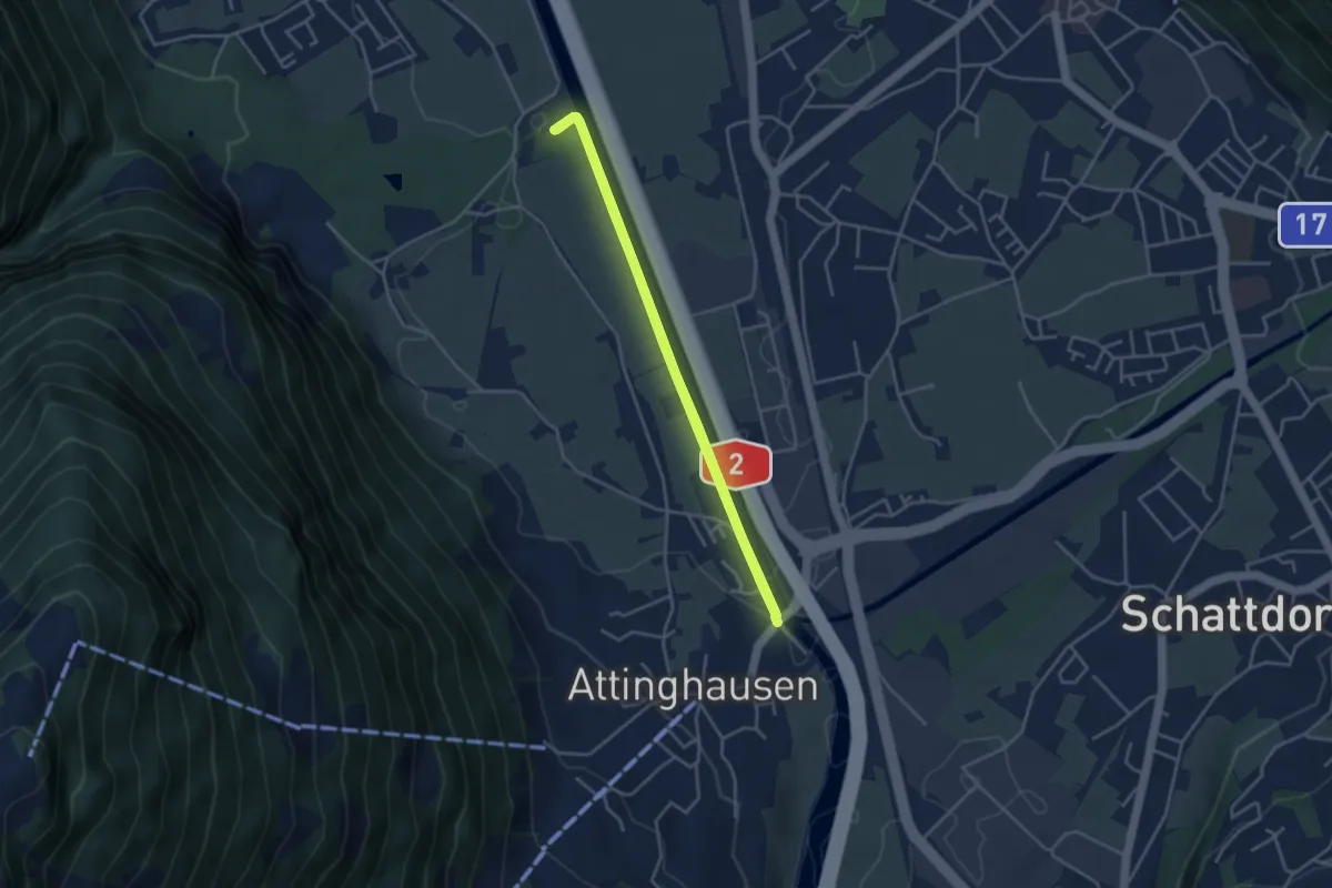
Easy · Trail
Attighauser Brücke-Seedorfer Brücke
3.5 km · ↑ 13 m · 55 min · 2 km away
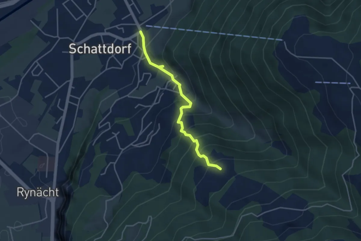
Medium · Trail
Schattdorf – Lehn
3.3 km · ↑ 395 m · 1 h 38 min · 2 km away
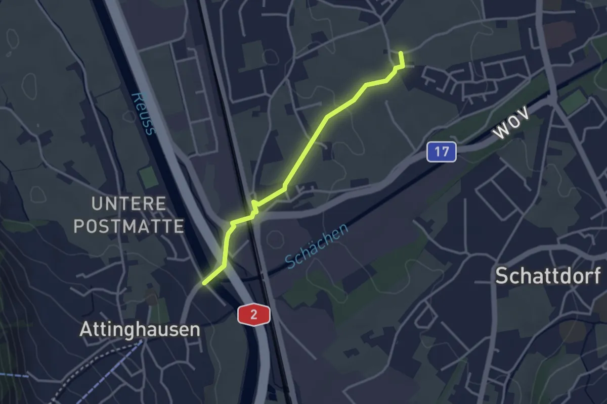
Easy · Trail
Ringli – Attinghauser Brücke
2.8 km · ↑ 17 m · 42 min · 2 km away
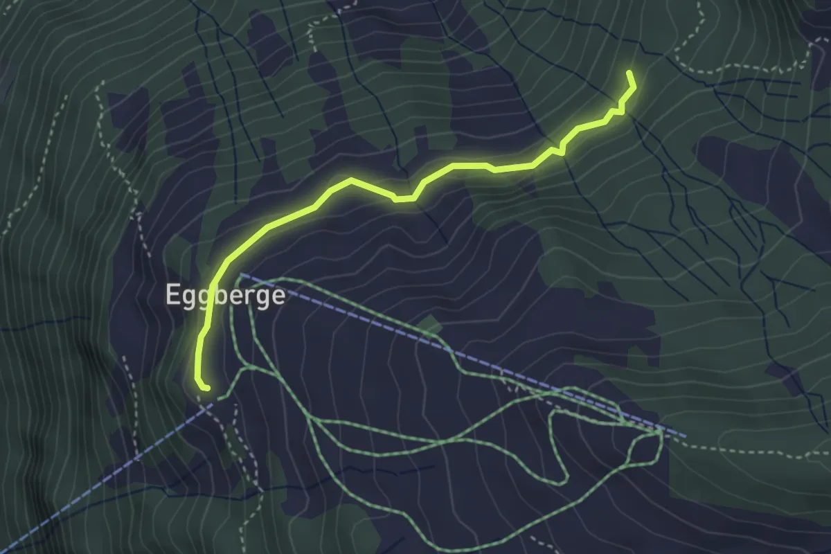
Medium · Trail
Eggberge – Chaltebrunne
3.3 km · ↑ 137 m · 1 h 5 min · 2 km away
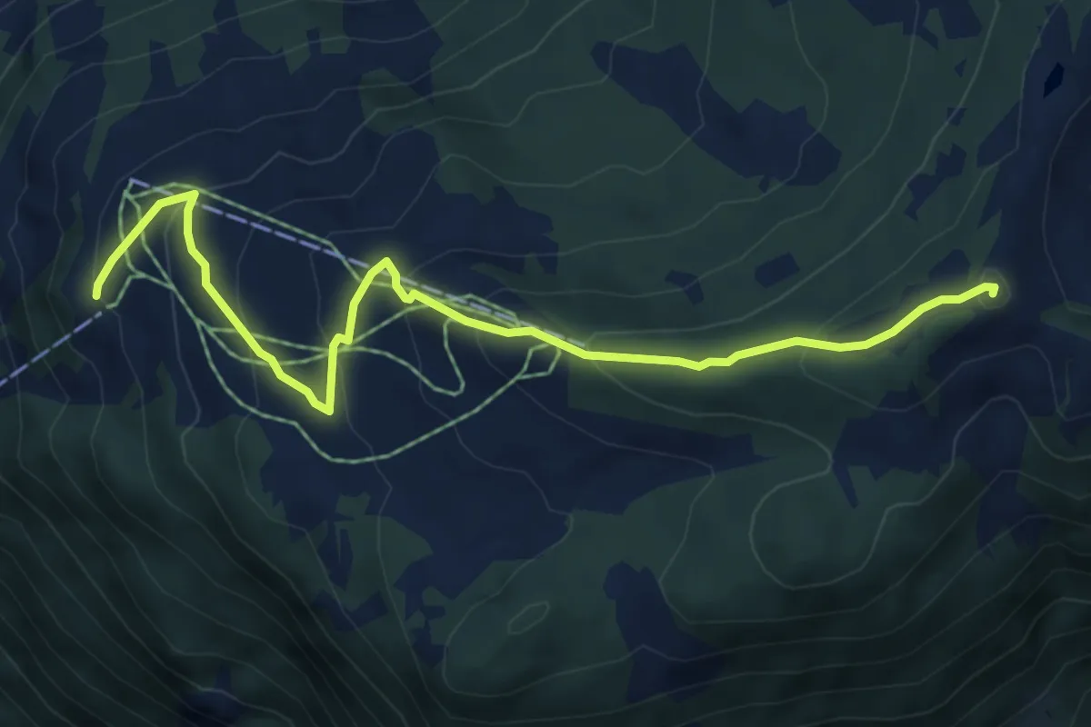
Medium · Summit
Hüenderegg – Eggberge
6.4 km · ↑ 396 m · 2 h 23 min · 2 km away
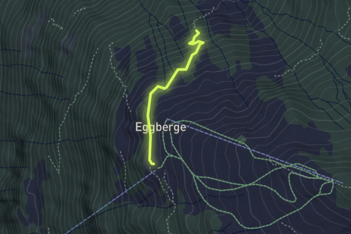
Easy · Trail
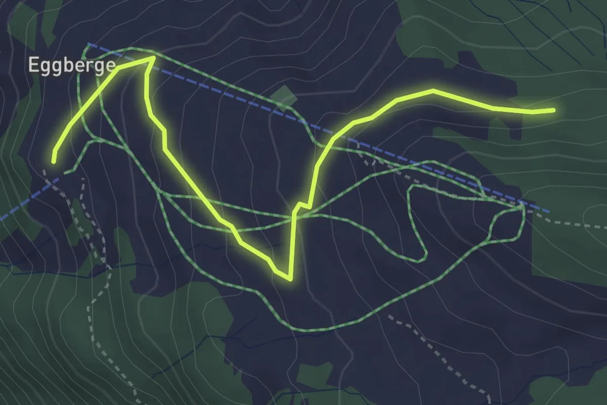
Eggeli – Eggberge
2.4 km · ↑ 217 m · 1 h 2 min · 2 km away
Easy · Trail
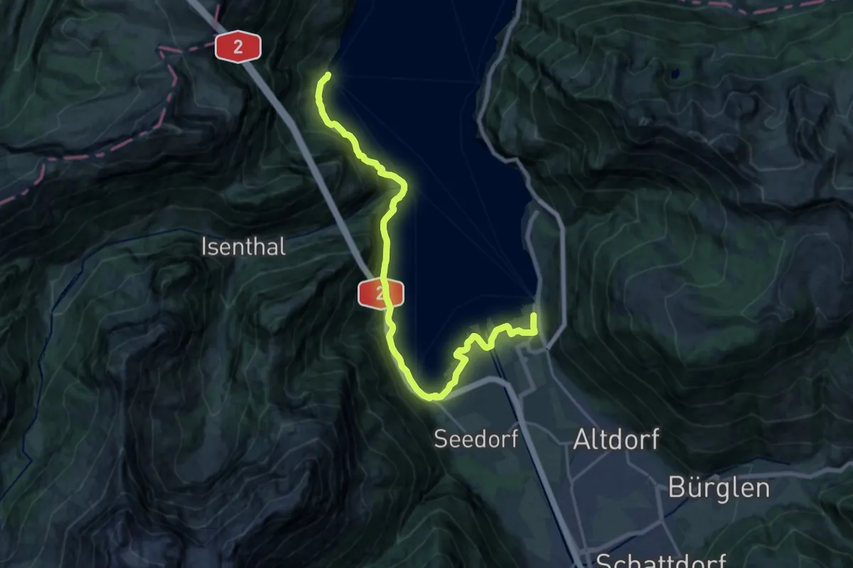
Eggberge – Angelingen
4.1 km · ↑ 186 m · 1 h 22 min · 2 km away
Demanding · Trail
Weg der Schweiz
19.6 km · ↑ 1092 m · 6 h 59 min · 2 km away
Easy · Trail
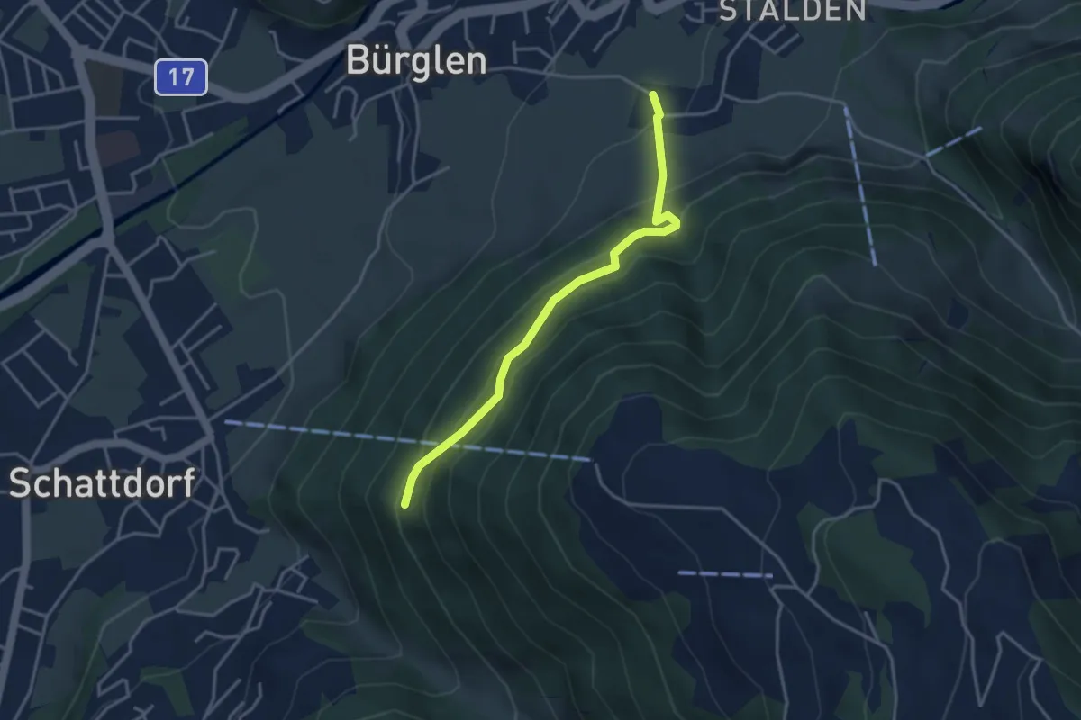
Bürglen – Äbnet
3.4 km · ↑ 312 m · 1 h 29 min · 3 km away
Medium · Trail
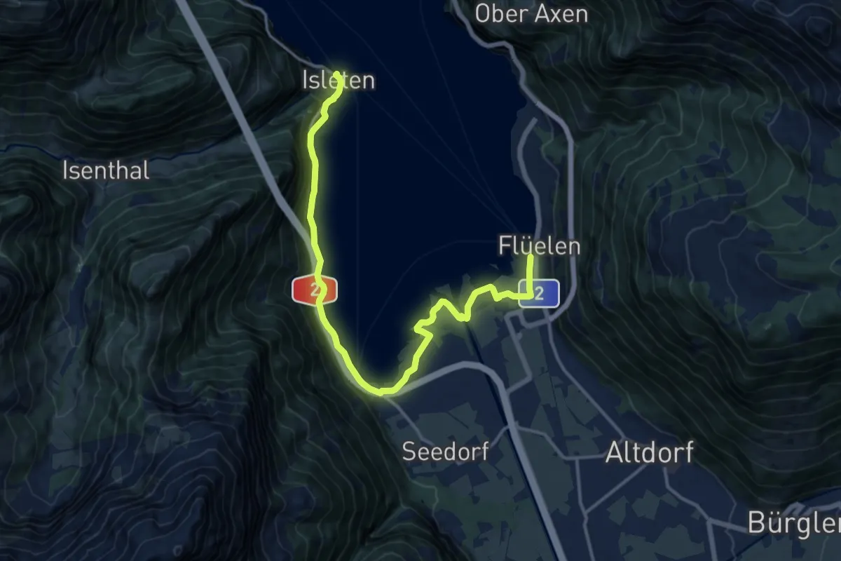
Urnersee-Uferweg
14.9 km · ↑ 181 m · 3 h 55 min · 3 km away
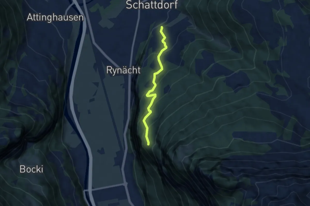
Medium · Trail
Erstfeld – Schattdorf
5.2 km · ↑ 443 m · 2 h 11 min · 3 km away
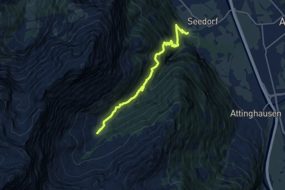
Demanding · Trail
Gitschitaler Boden – Im Bodenwald
10.4 km · ↑ 1203 m · 5 h 4 min · 3 km away
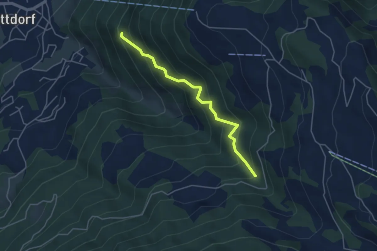
Medium · Trail
Äbnet – Figstuhl
3.6 km · ↑ 453 m · 1 h 50 min · 3 km away
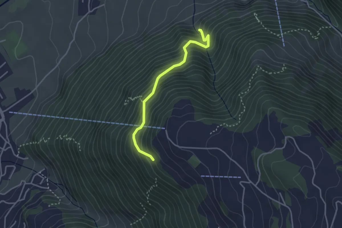
Medium · Trail
Bürglen – Bergstation Haldi
2.9 km · ↑ 396 m · 1 h 32 min · 3 km away
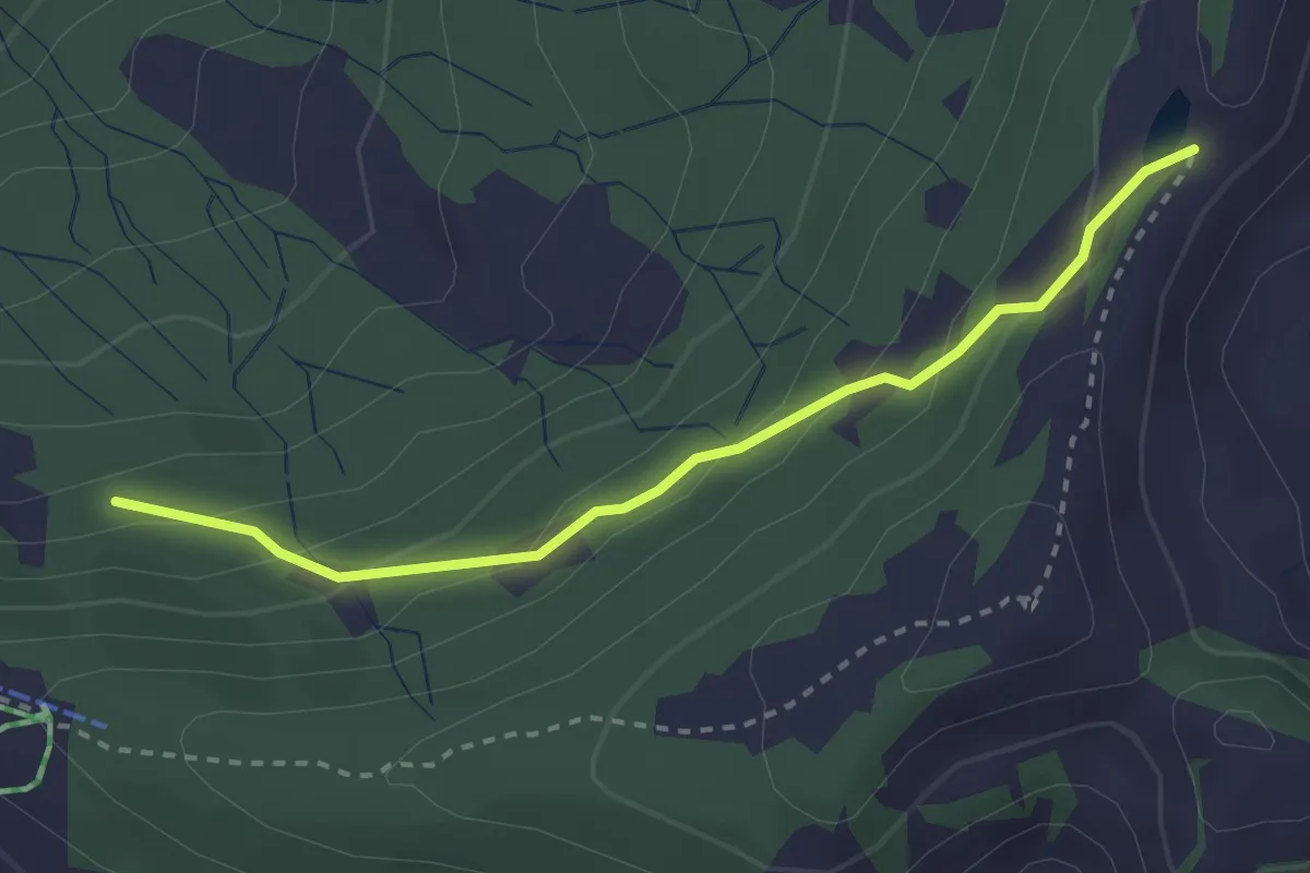
Easy · Trail
Fleschsee – Angelingen
2.8 km · ↑ 165 m · 1 h 1 min · 3 km away
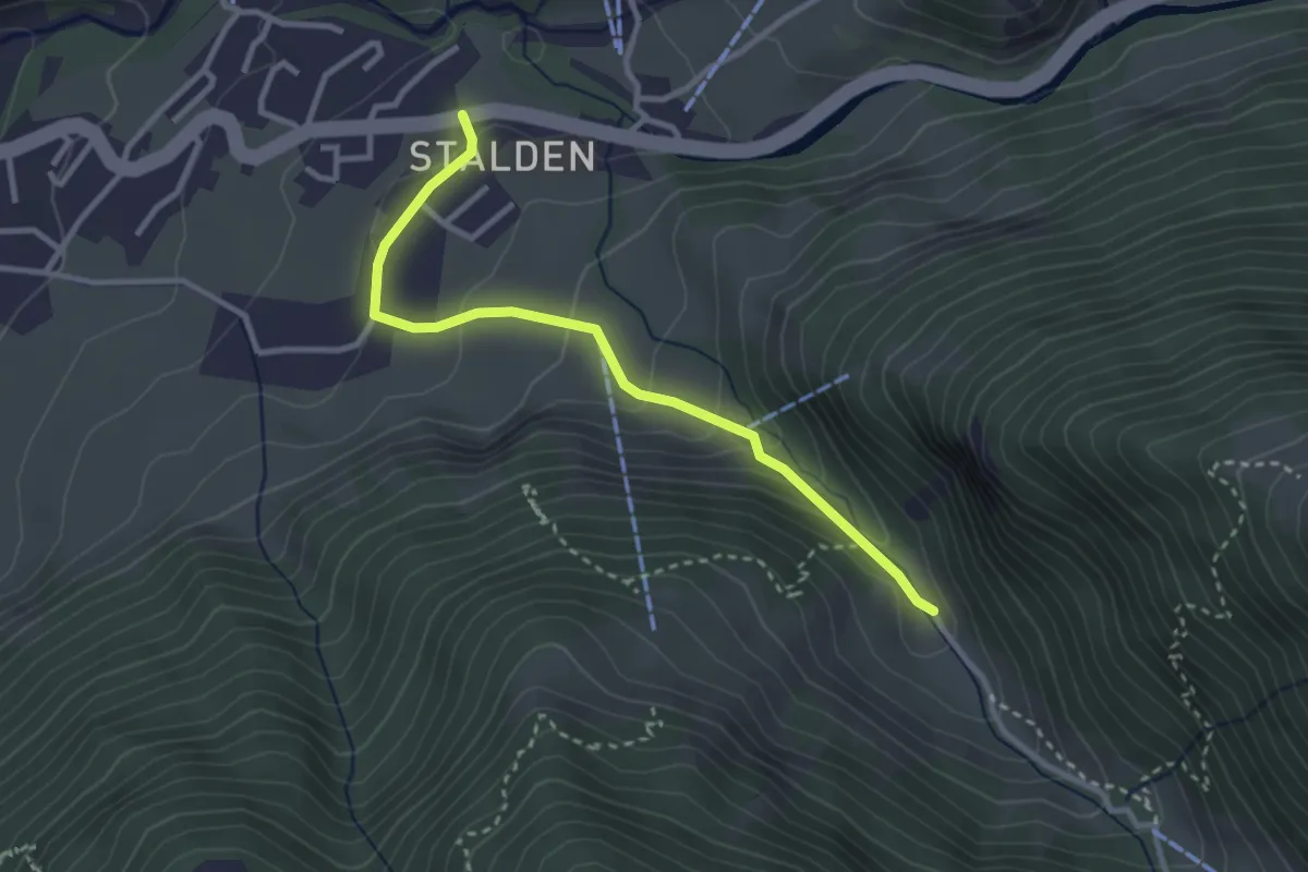
Easy · Trail
Lorenzo-?
3.0 km · ↑ 168 m · 1 h 4 min · 3 km away
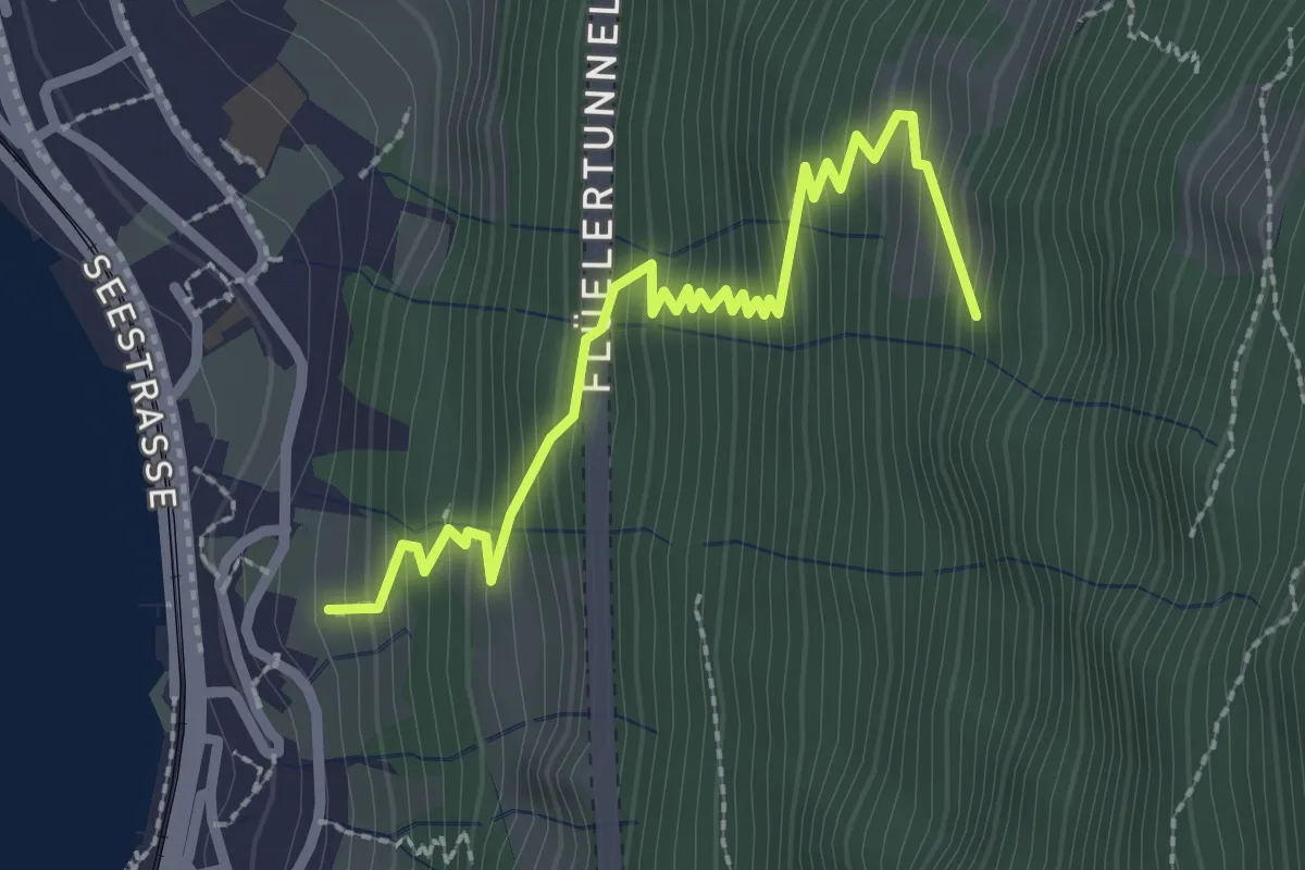
Medium · Trail
Urmis – Flülen
2.8 km · ↑ 381 m · 1 h 29 min · 3 km away
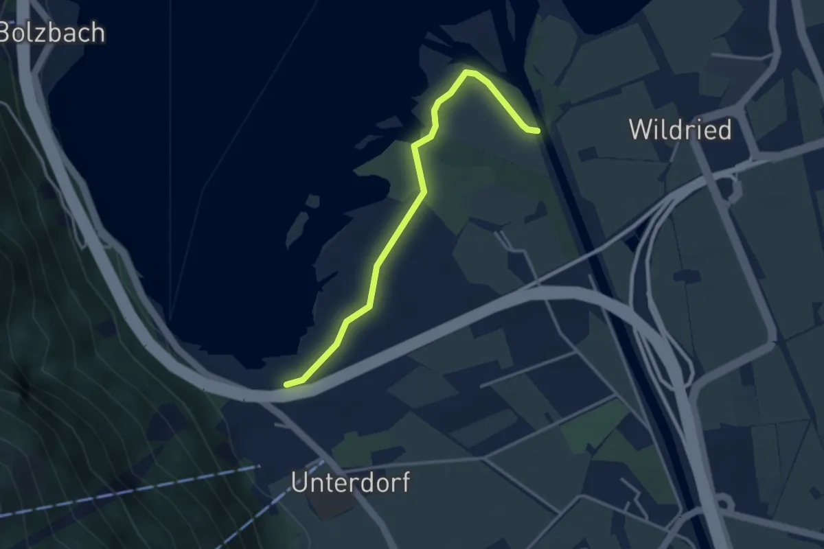
Easy · Trail
Seerestaurant-Schanz
3.1 km · ↑ 4 m · 44 min · 3 km away
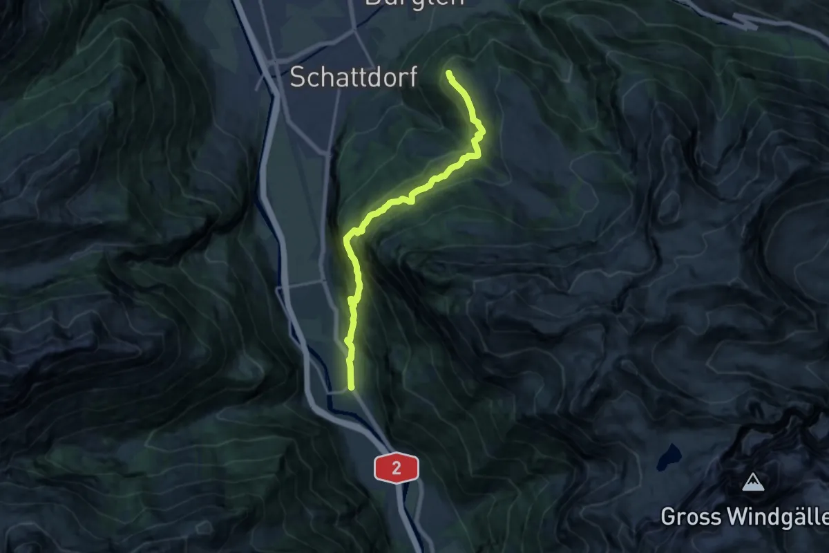
Expert · Trail
Erstfeld-Haldi
14.2 km · ↑ 1112 m · 5 h 45 min · 3 km away
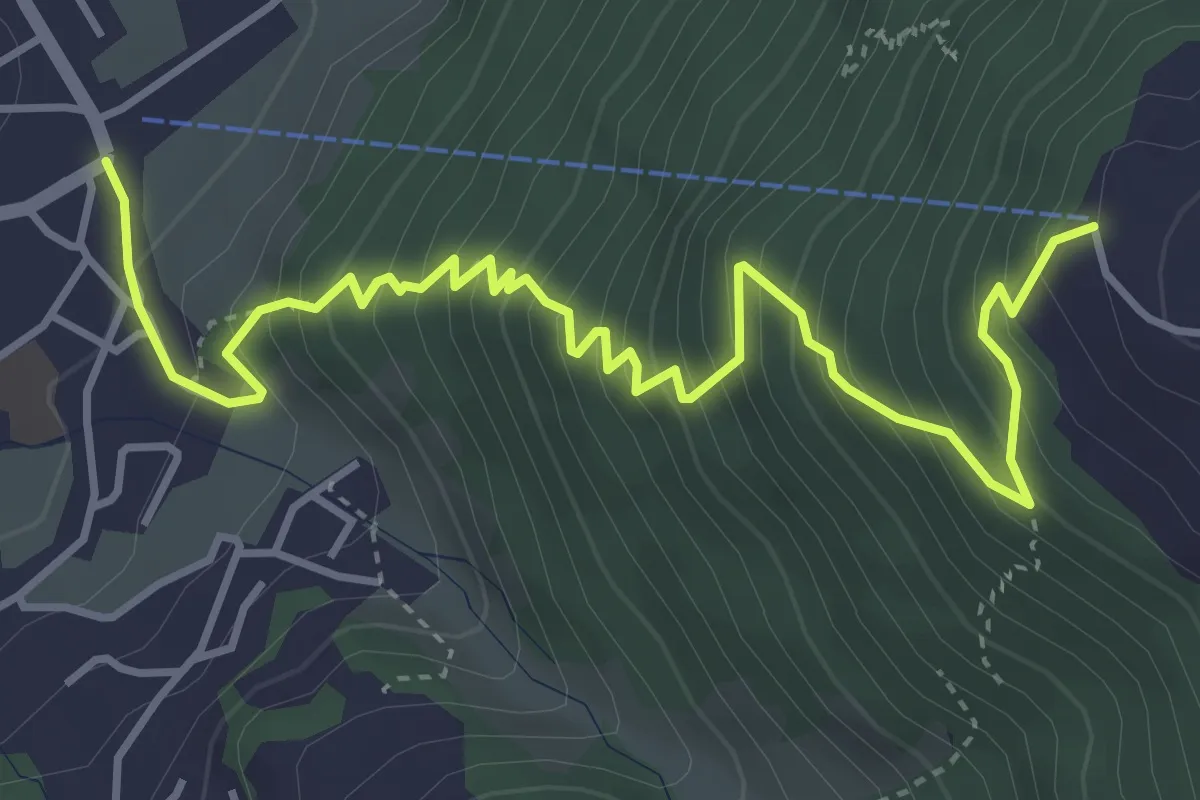
Medium · Trail
Schattdorf Talstation – Haldi Bergstation
5.0 km · ↑ 621 m · 2 h 31 min · 3 km away
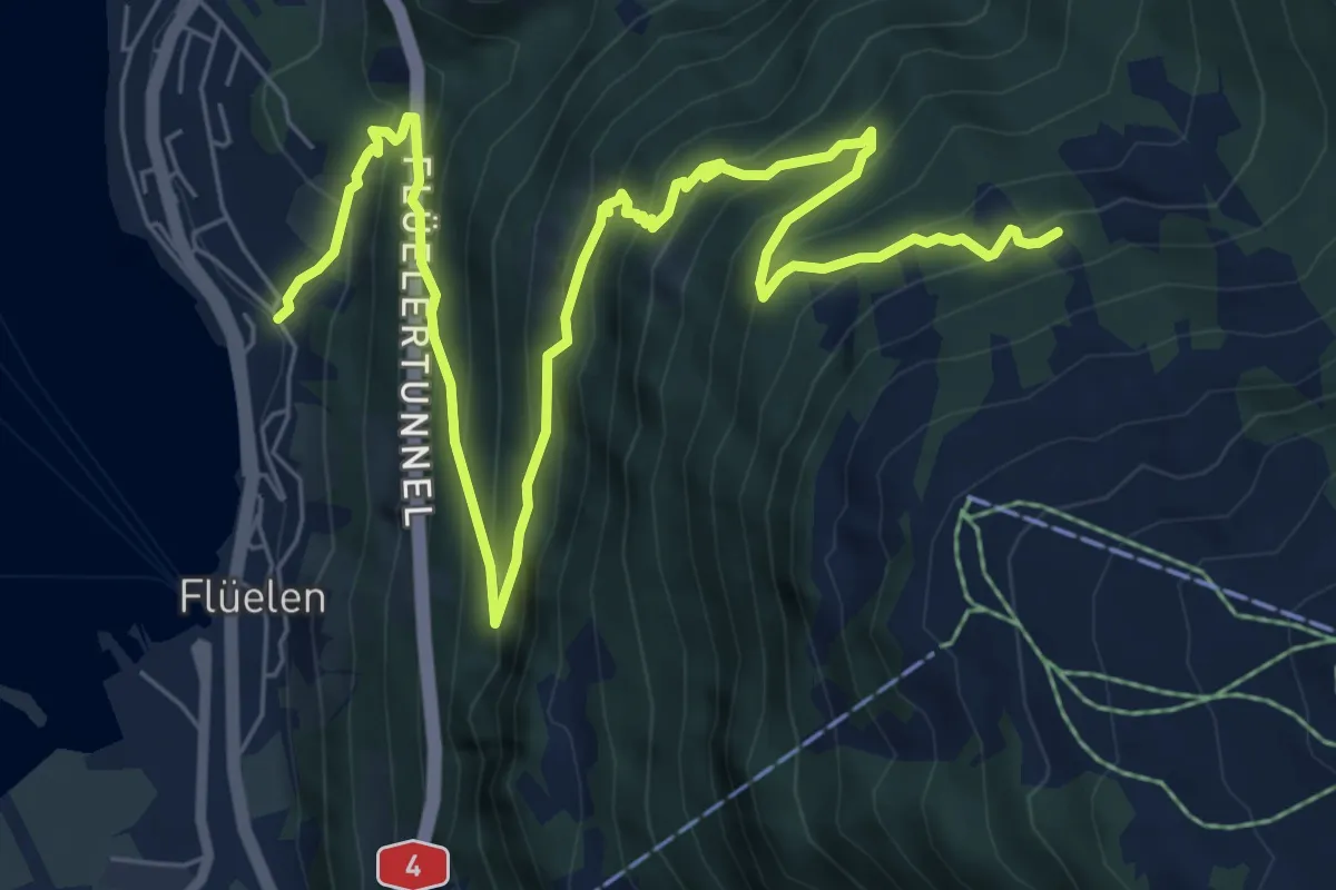
Demanding · Trail
Eggli – Flülen
9.6 km · ↑ 898 m · 4 h 13 min · 3 km away
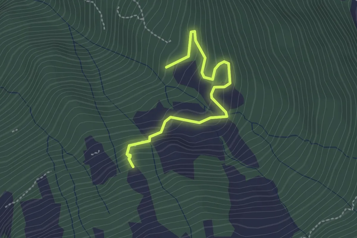
Demanding · Trail
Gruonbergli – Eggeli
2.5 km · ↑ 198 m · 1 h 1 min · 3 km away
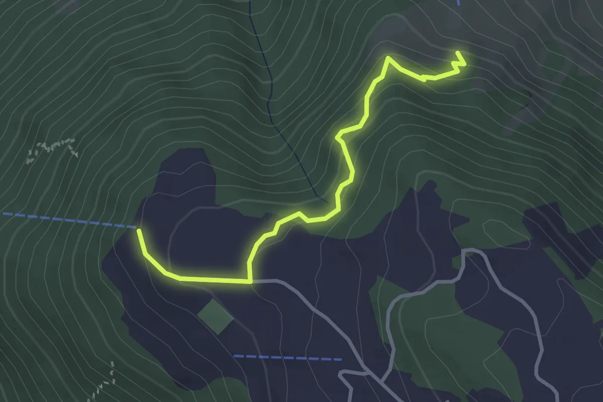
Medium · Trail
Haldi – Gammerschwand
3.0 km · ↑ 238 m · 1 h 14 min · 3 km away
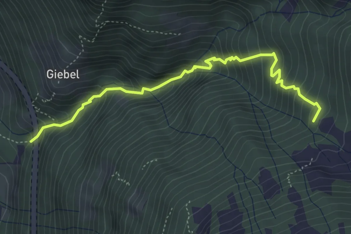
Medium · Trail
Ruozig – Gruonbergli
4.7 km · ↑ 623 m · 2 h 28 min · 3 km away
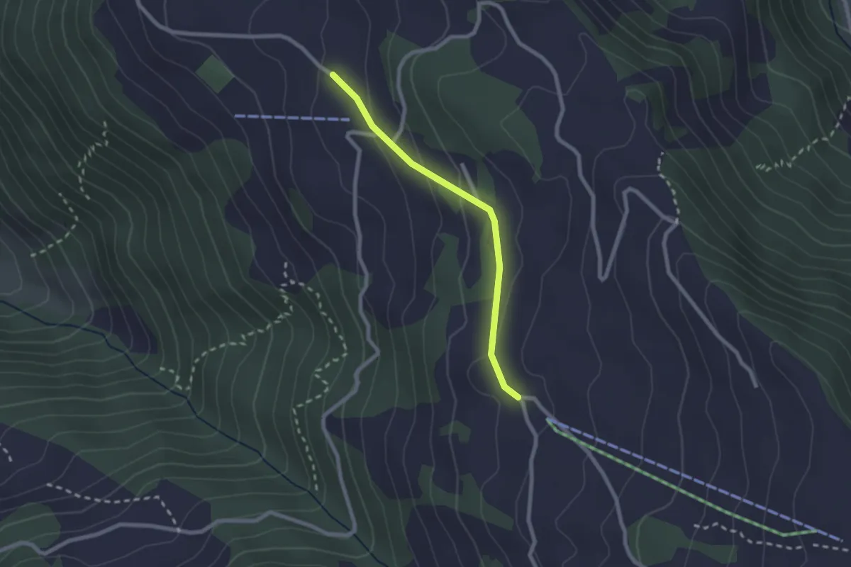
Easy · Trail
Schwandiberg – Haldi
2.0 km · ↑ 83 m · 39 min · 3 km away
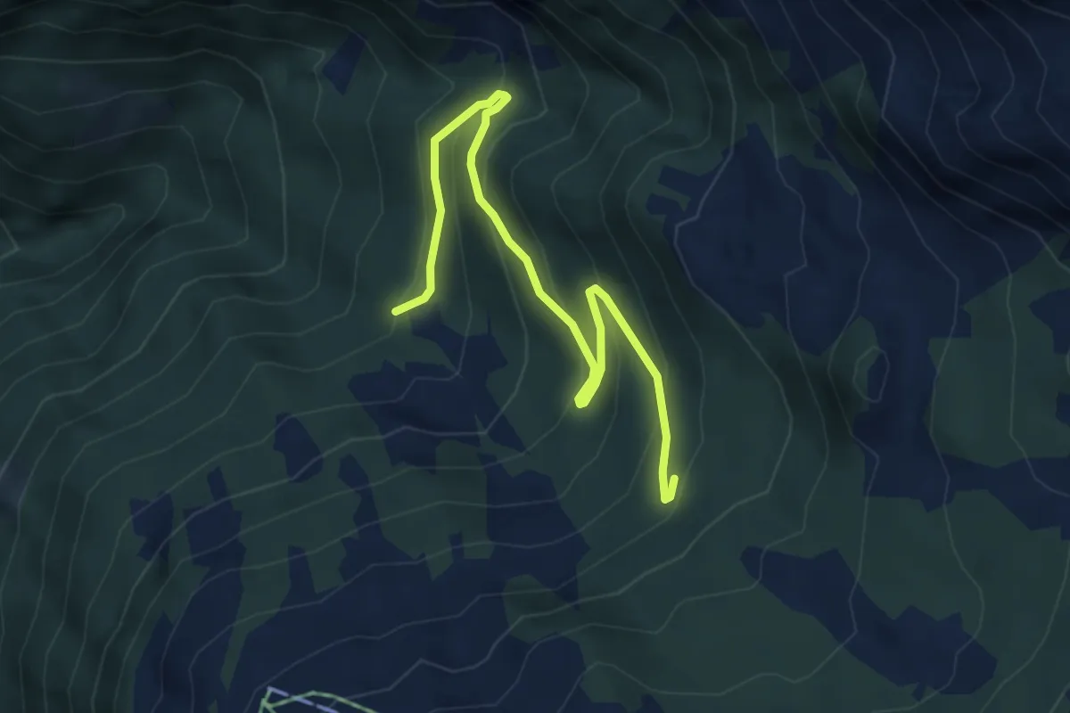
Medium · Trail
Gruonbergli – Chaltebrunne
5.1 km · ↑ 324 m · 1 h 54 min · 3 km away
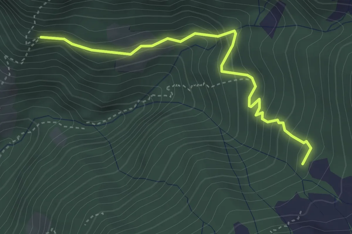
Medium · Trail
Gruonbergli – ?
3.7 km · ↑ 323 m · 1 h 34 min · 3 km away
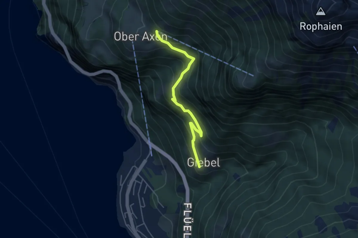
Medium · Trail
Giebel-Oberaxen
4.0 km · ↑ 349 m · 1 h 42 min · 4 km away
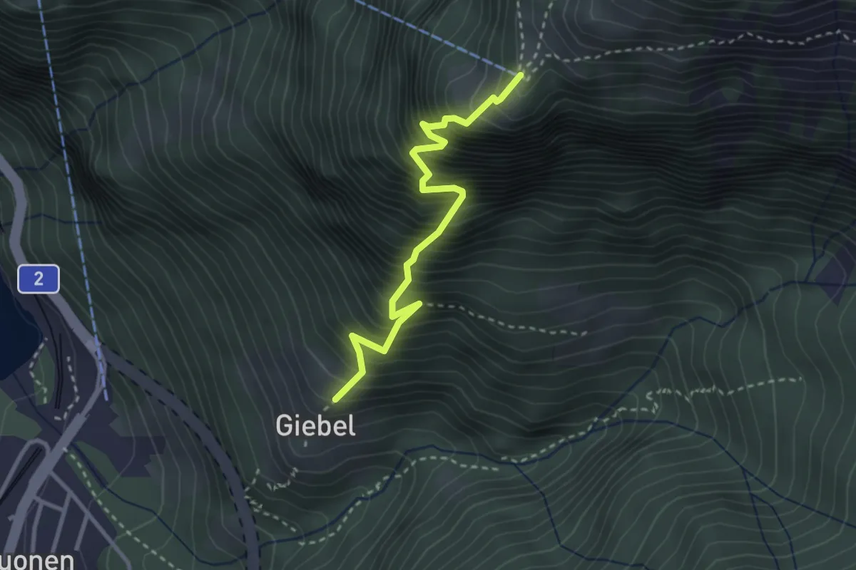
Expert · Trail
Gibel – Franzen
2.9 km · ↑ 687 m · 2 h 11 min · 4 km away
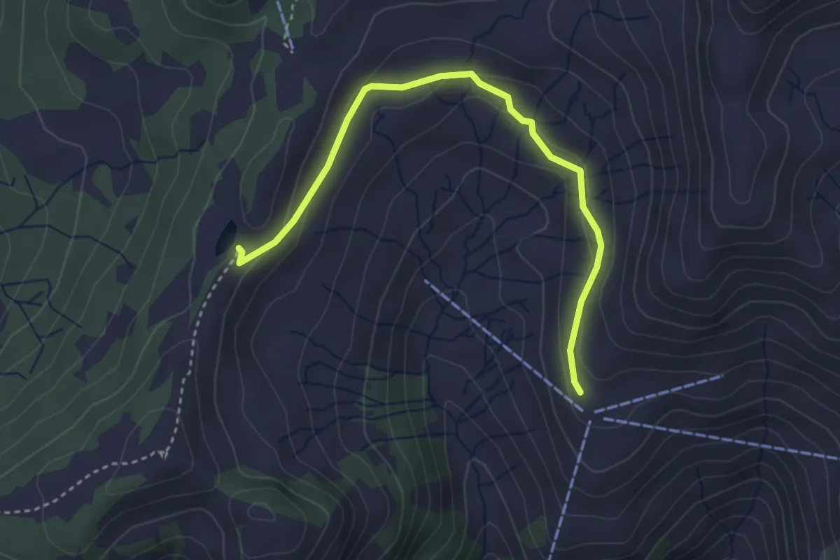
Easy · Trail
Ruegig – Fleschsee
3.6 km · ↑ 123 m · 1 h 7 min · 4 km away
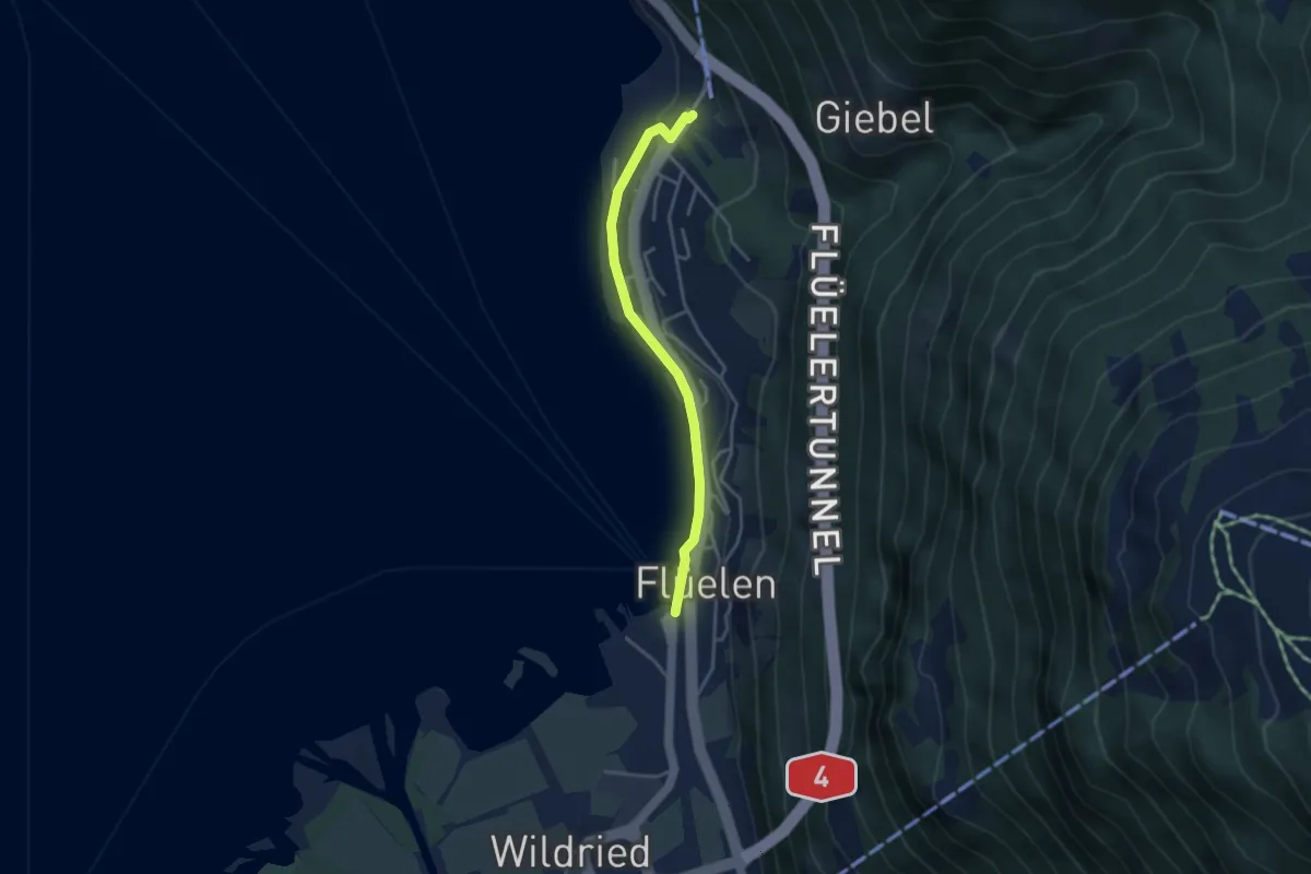
Easy · Trail
Flüelen – Flüelen Gruonbach
3.4 km · ↑ 48 m · 55 min · 4 km away
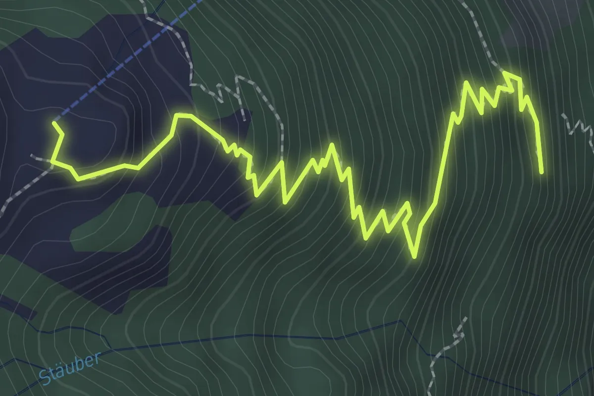
Medium · Trail
Gitschenberg – Unter Müllerberg
3.6 km · ↑ 422 m · 1 h 46 min · 4 km away
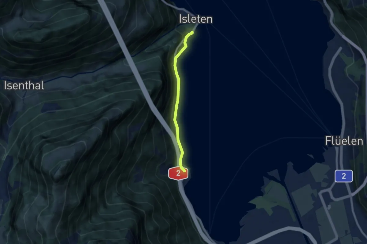
Easy · Trail
Bolzbach – Isleten
4.5 km · ↑ 105 m · 1 h 18 min · 4 km away
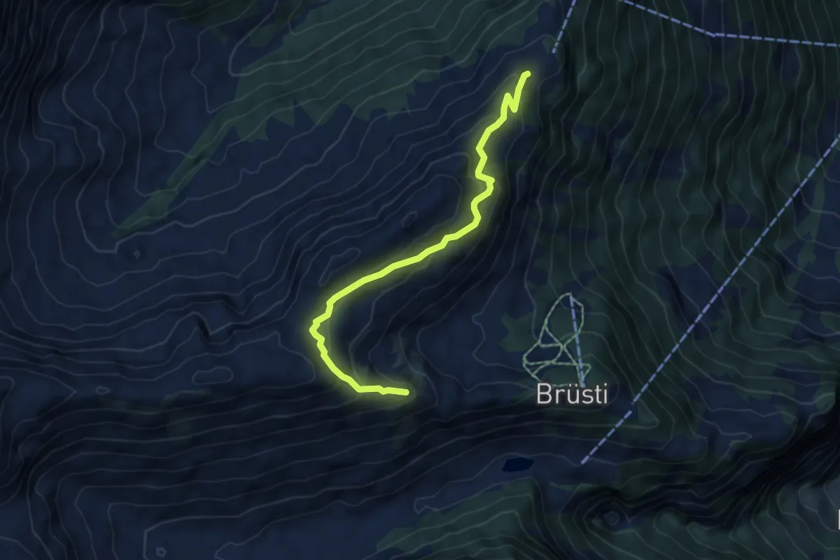
Medium · Trail
Chraienhöreli – Seewli
5.7 km · ↑ 383 m · 2 h 11 min · 4 km away
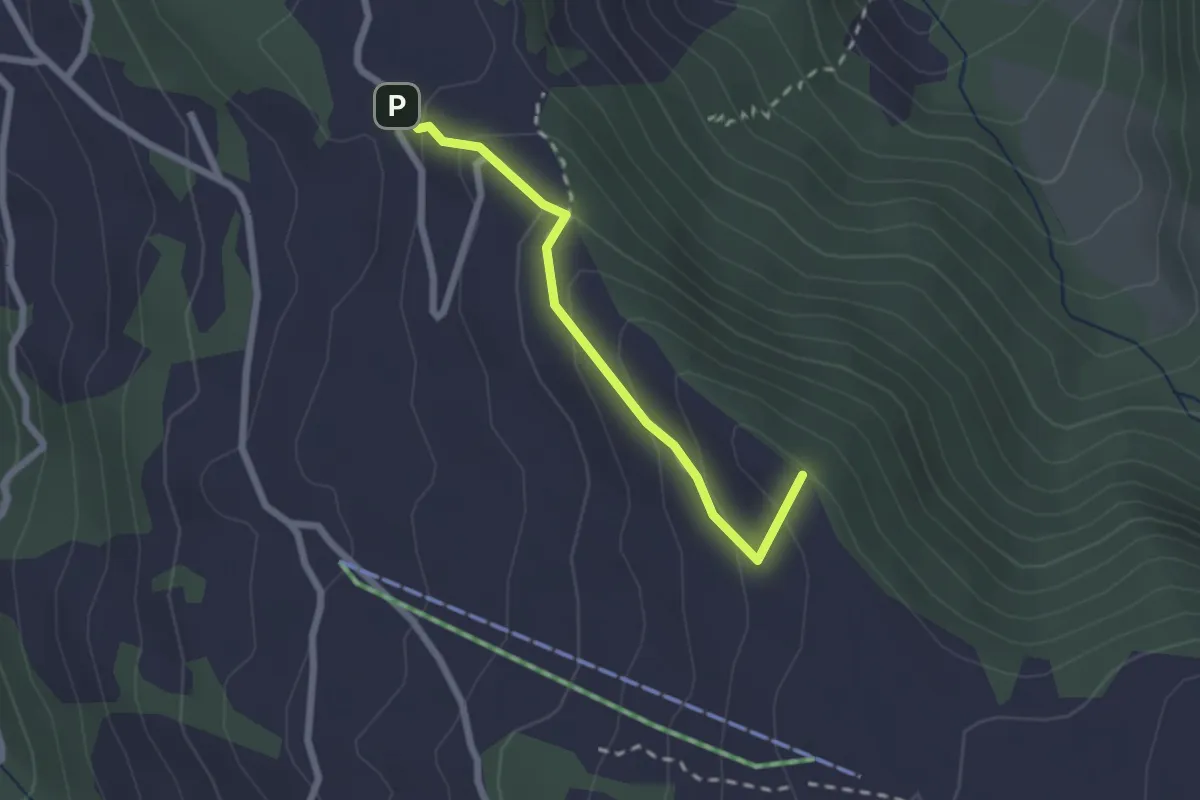
Easy · Summit
Pfaffenwald – Suntigsboden
2.0 km · ↑ 121 m · 45 min · 4 km away
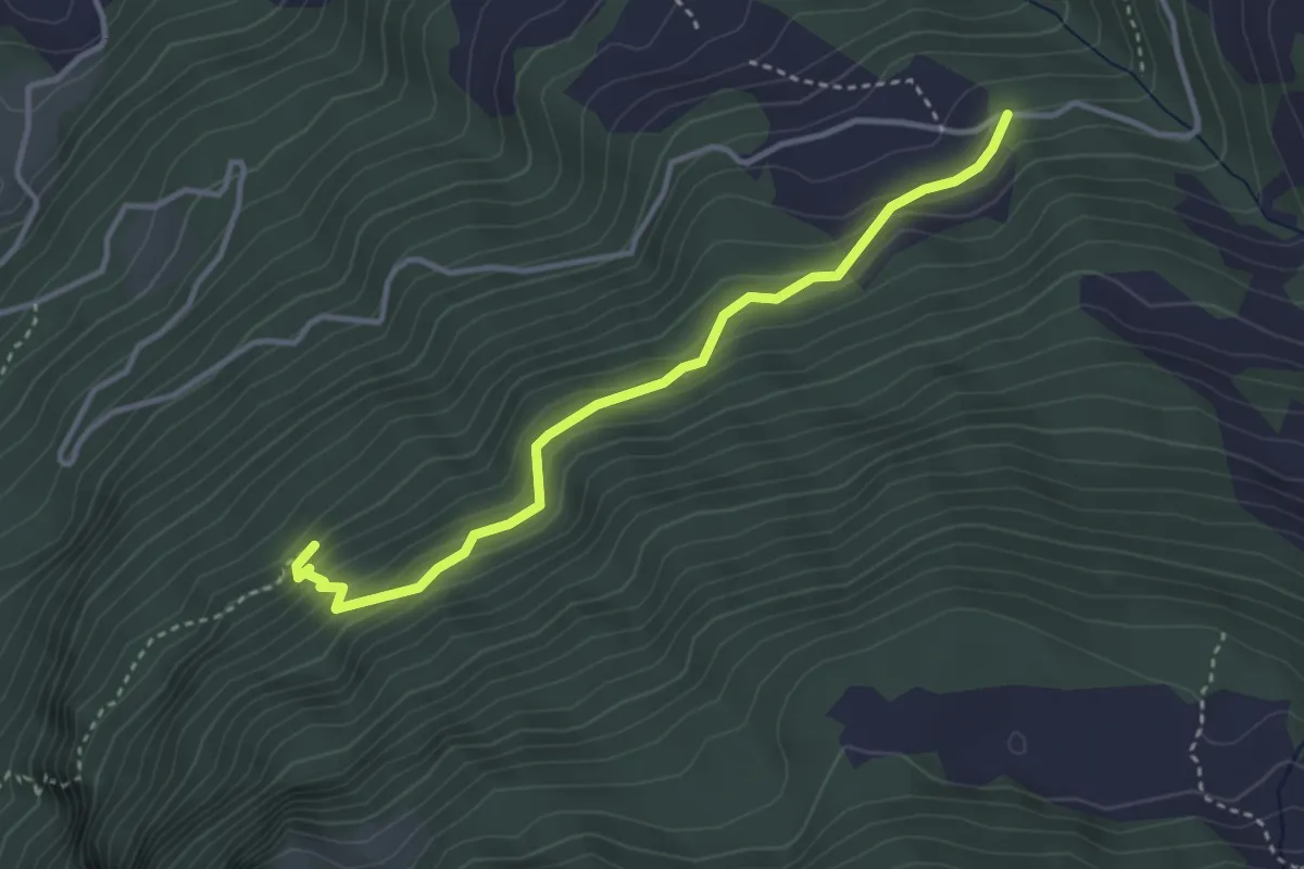
Medium · Trail
Figstuel – Plätteli
3.5 km · ↑ 279 m · 1 h 26 min · 4 km away
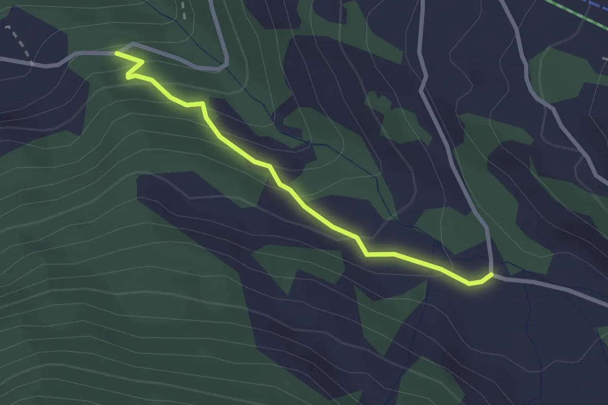
Easy · Trail
Süessberg – Figstuel
2.2 km · ↑ 174 m · 54 min · 4 km away
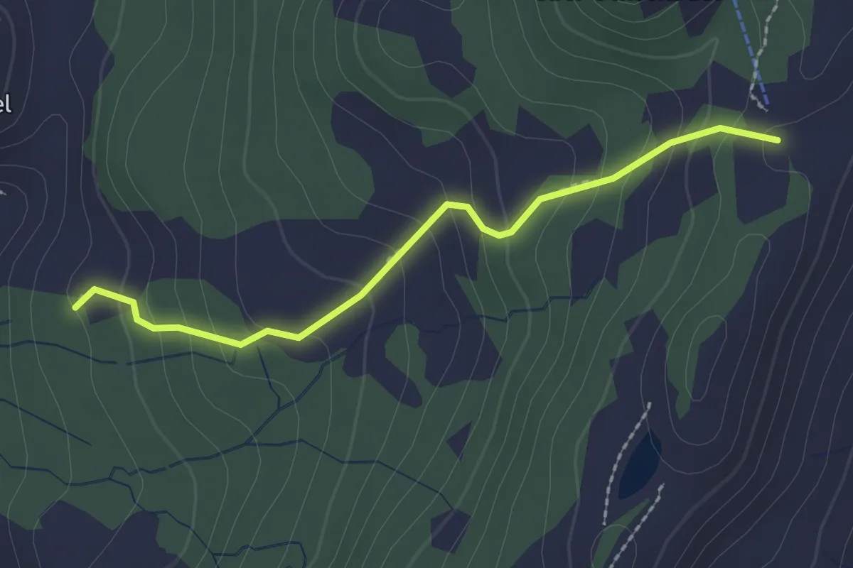
Easy · Trail
Chalberweid – Nätschegg
2.1 km · ↑ 169 m · 52 min · 4 km away
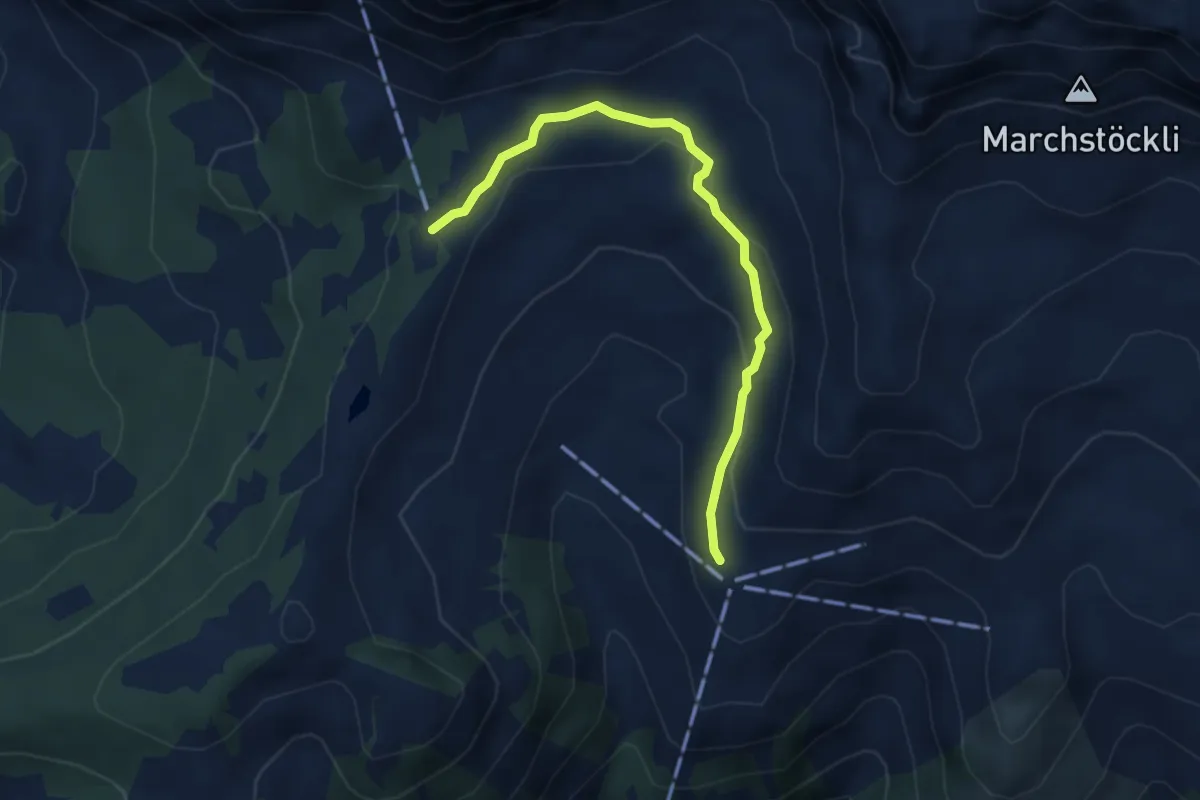
Medium · Trail
Ruegig – Chalberweid
3.8 km · ↑ 134 m · 1 h 12 min · 4 km away
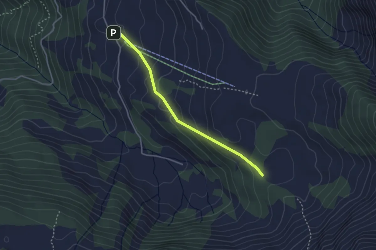
Easy · Trail
Schwandiberg – Oberfeld
2.8 km · ↑ 143 m · 59 min · 4 km away
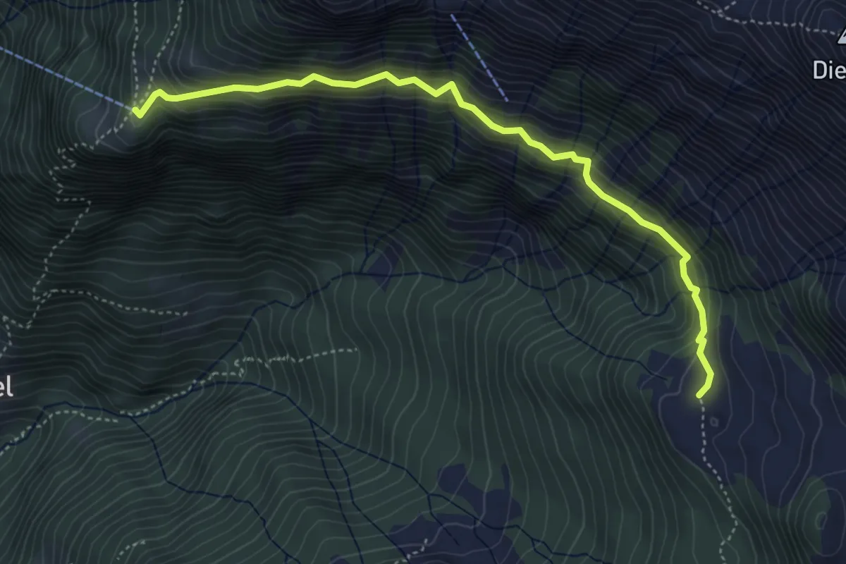
Medium · Trail
Unter Hüttenboden – Franzen
4.9 km · ↑ 469 m · 2 h 10 min · 5 km away
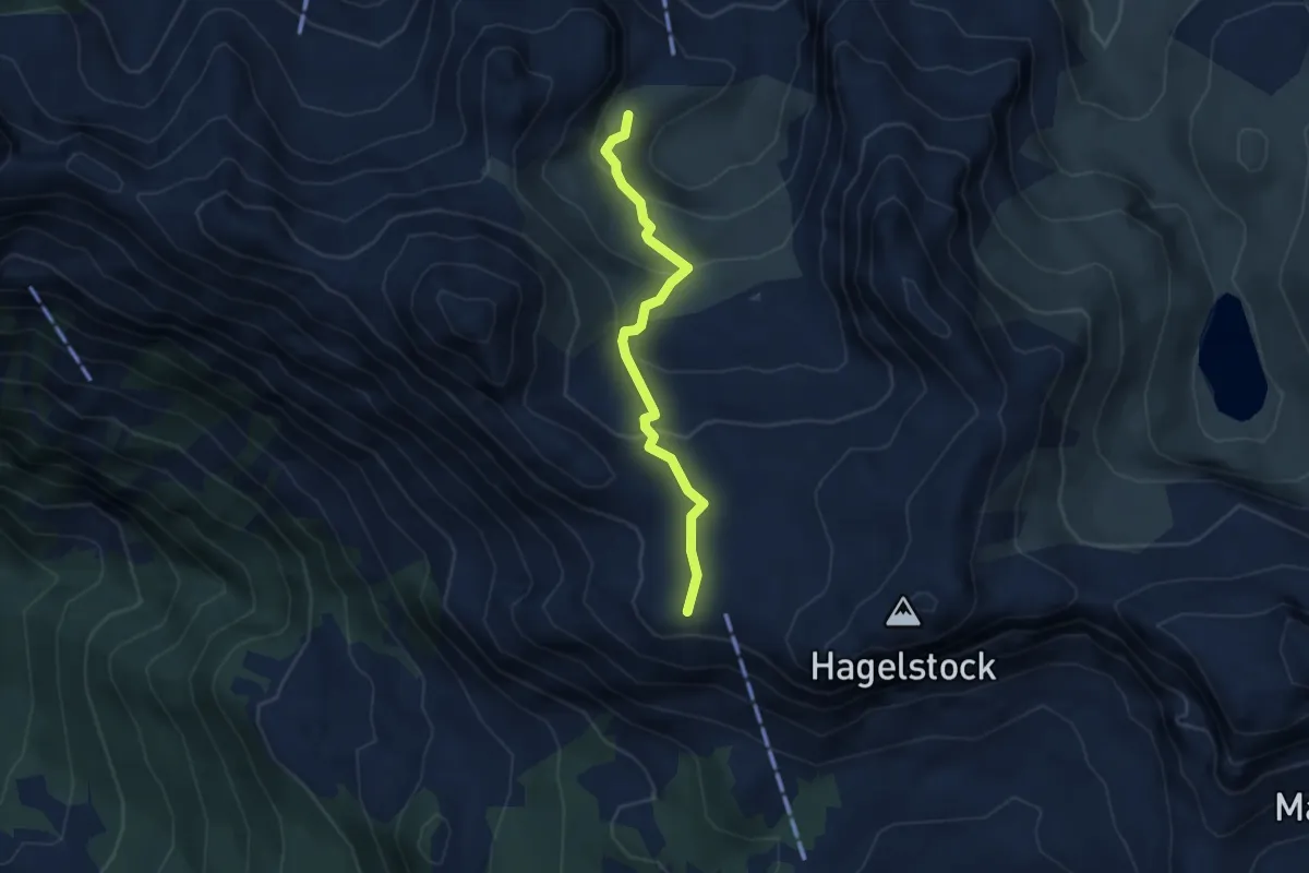
Medium · Trail
Rotenbalm – Schön Chulm
3.4 km · ↑ 202 m · 1 h 15 min · 5 km away