Trails near Altdorf UR
351 hikes starting within 15 km, nearest first.
Nearest first, page 3 of 8
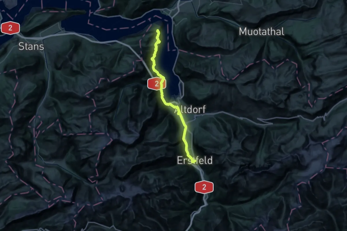
Demanding · Trail
Trans Swiss Trail
23.0 km · ↑ 1174 m · 8 h 7 min · 7 km away
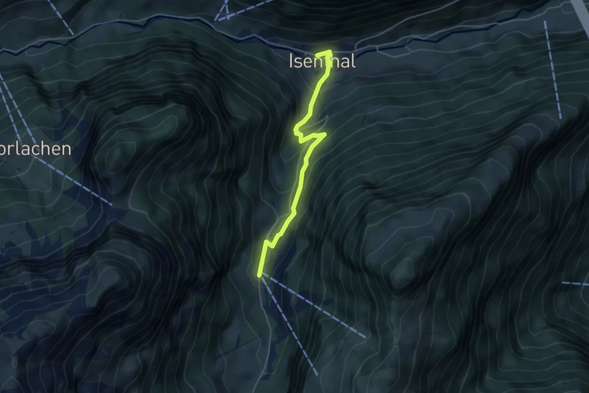
Easy · Trail
Gietisflue Talstation – Isenthal
3.9 km · ↑ 272 m · 1 h 31 min · 7 km away
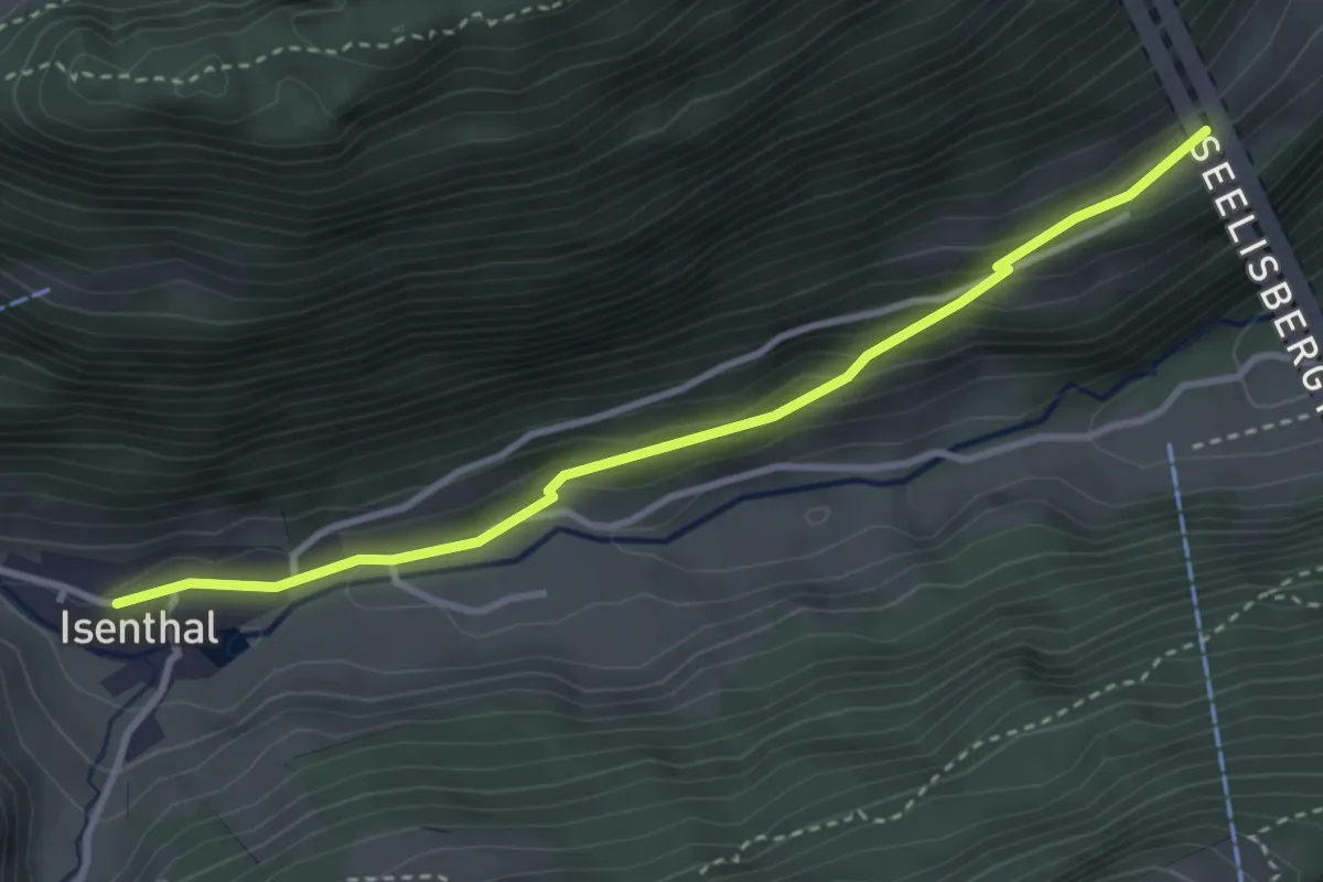
Easy · Trail
Hinter Bärchi – Isenthal
3.4 km · ↑ 137 m · 1 h 6 min · 7 km away
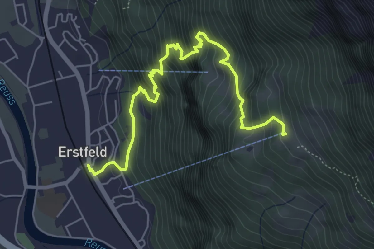
Medium · Trail
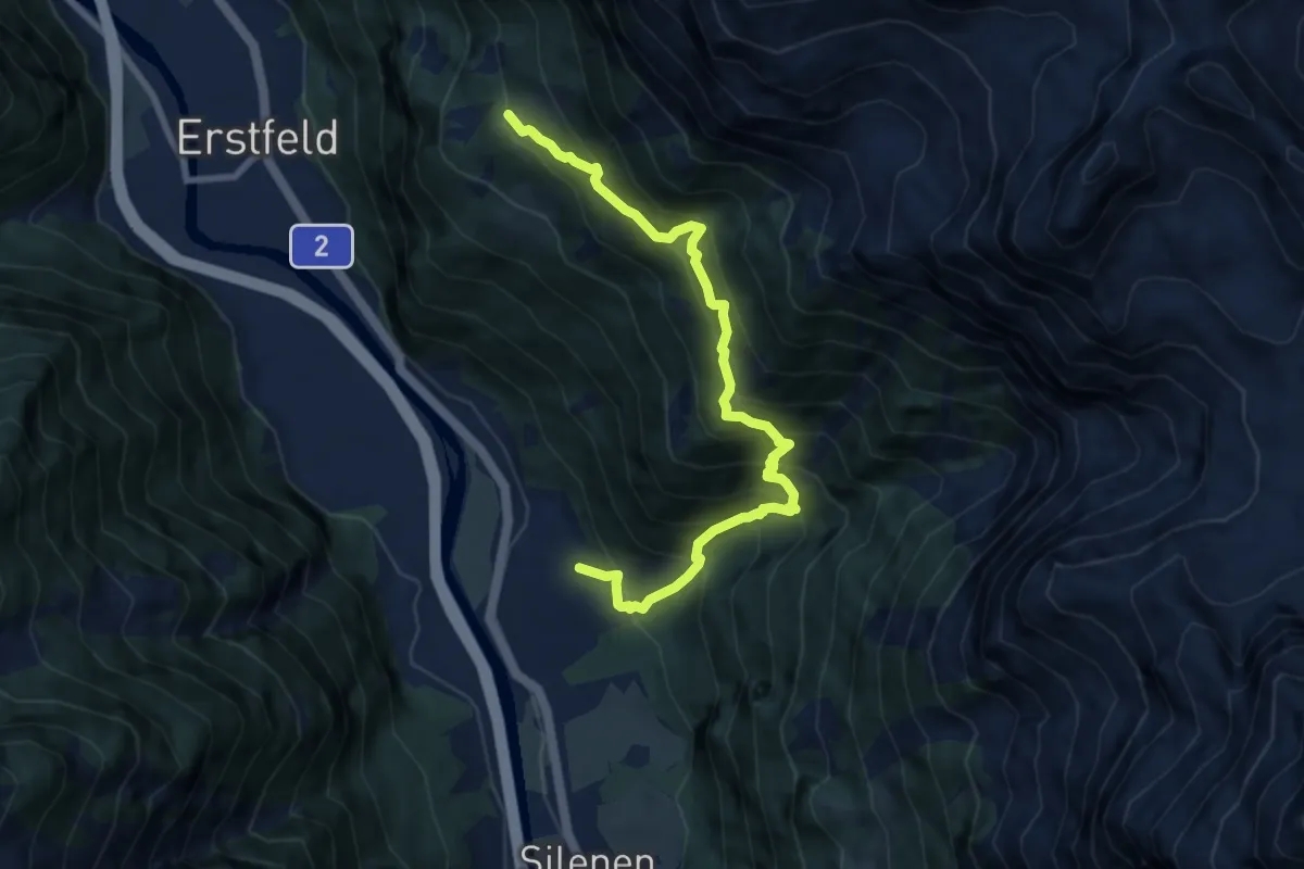
Erstfeld – Ober Schwandi
5.9 km · ↑ 712 m · 2 h 57 min · 7 km away
Demanding · Trail
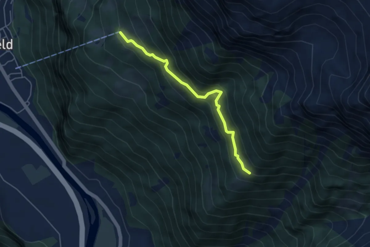
Buecholz – Ober Schwandi
8.8 km · ↑ 1034 m · 4 h 18 min · 7 km away
Medium · Trail
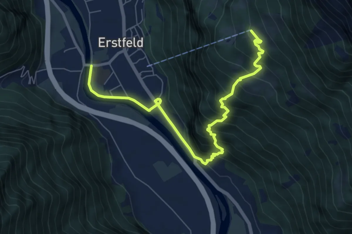
Strängmatt – Ober Schwandi
4.0 km · ↑ 353 m · 1 h 43 min · 7 km away
Medium · Trail
Ober Schwandi – Erstfeld
7.4 km · ↑ 697 m · 3 h 15 min · 7 km away
Demanding · Trail
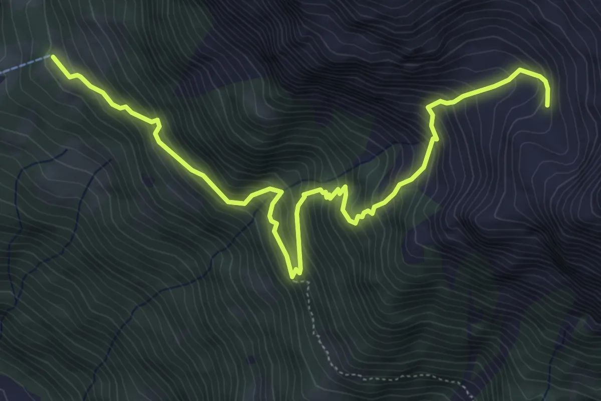
Ober Schwandi – Bödmer
7.0 km · ↑ 861 m · 3 h 31 min · 7 km away
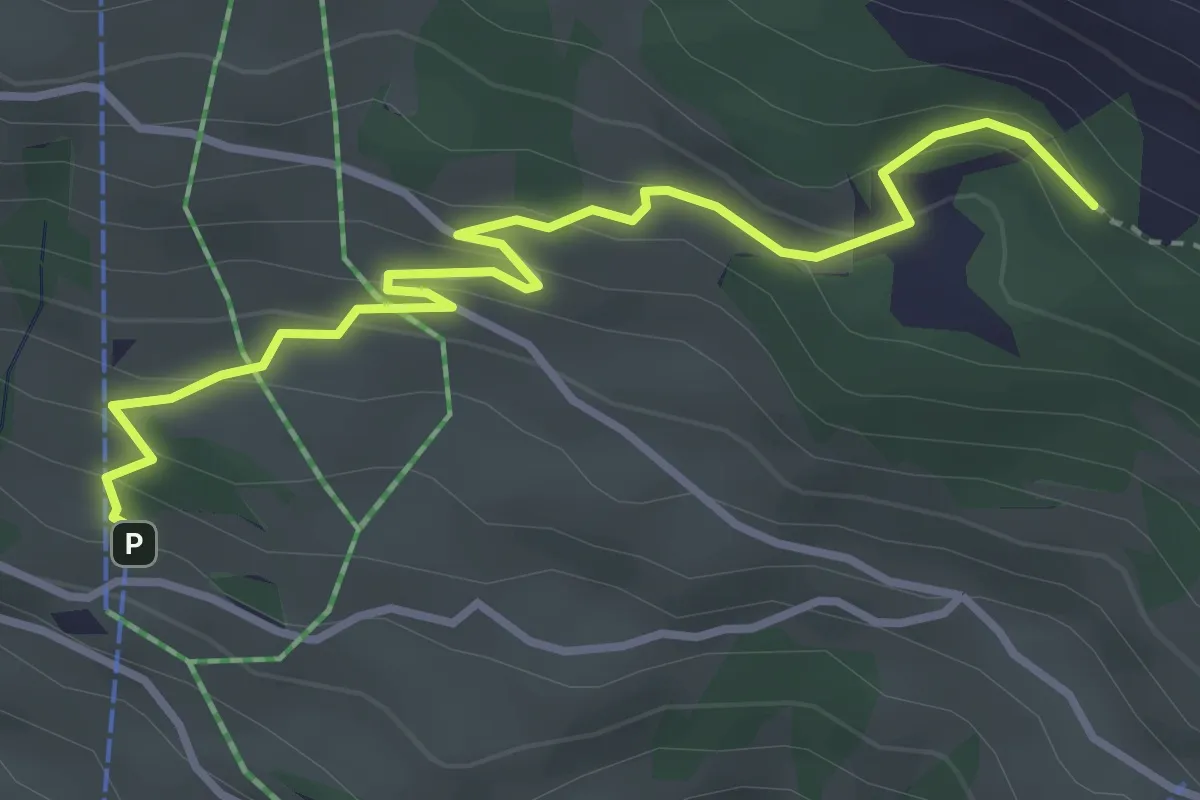
Easy · Trail
Ratzi – Äbneter Wald
3.8 km · ↑ 221 m · 1 h 22 min · 7 km away
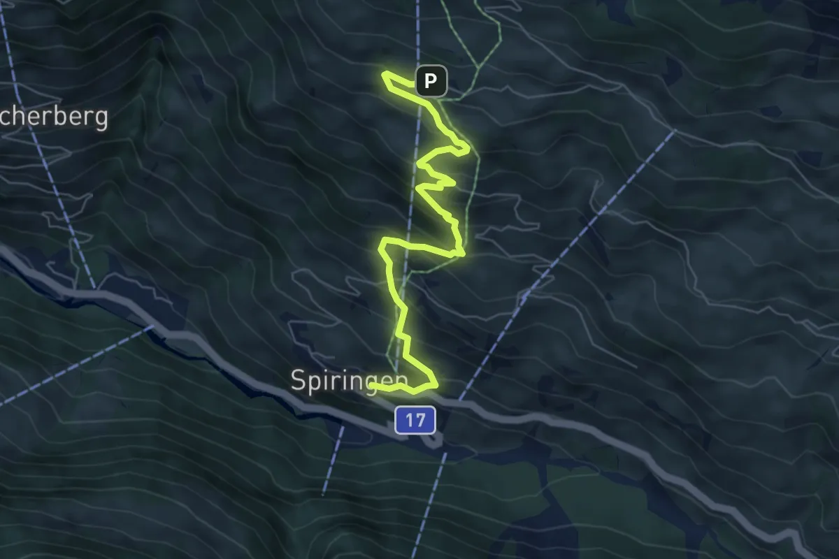
Medium · Trail
Spiringen – Ratzi
6.6 km · ↑ 576 m · 2 h 48 min · 7 km away
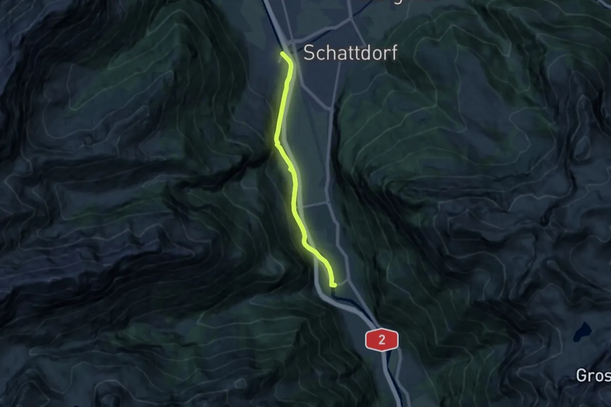
Medium · Trail
Erstfeld-Attighauser Brücke
10.9 km · ↑ 222 m · 3 h 4 min · 7 km away
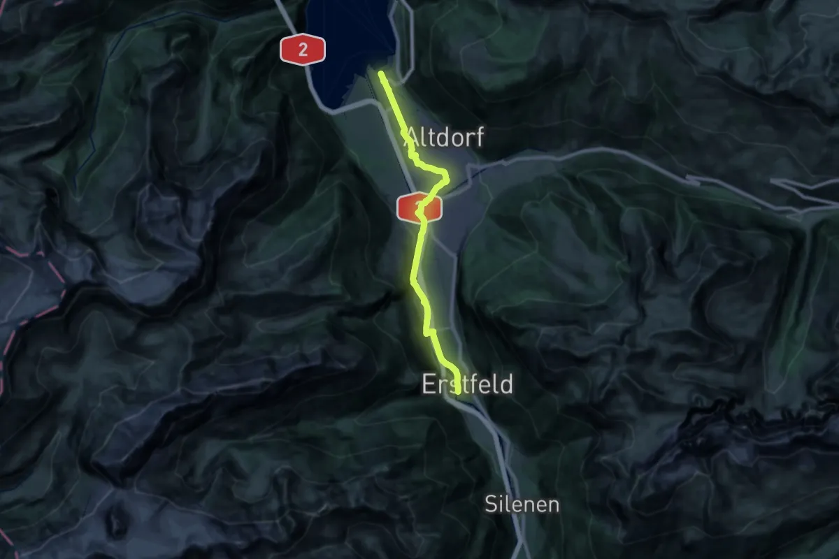
Demanding · Trail
Erstfeld-Flüelen
21.7 km · ↑ 249 m · 5 h 40 min · 7 km away
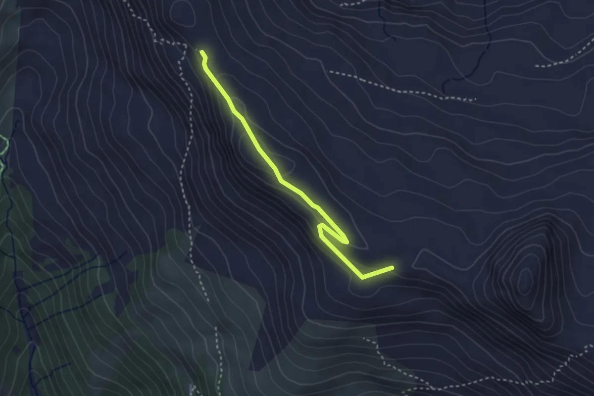
Easy · Summit
Ober Gisleralp – Chinzig Chulm
3.0 km · ↑ 130 m · 1 h · 7 km away
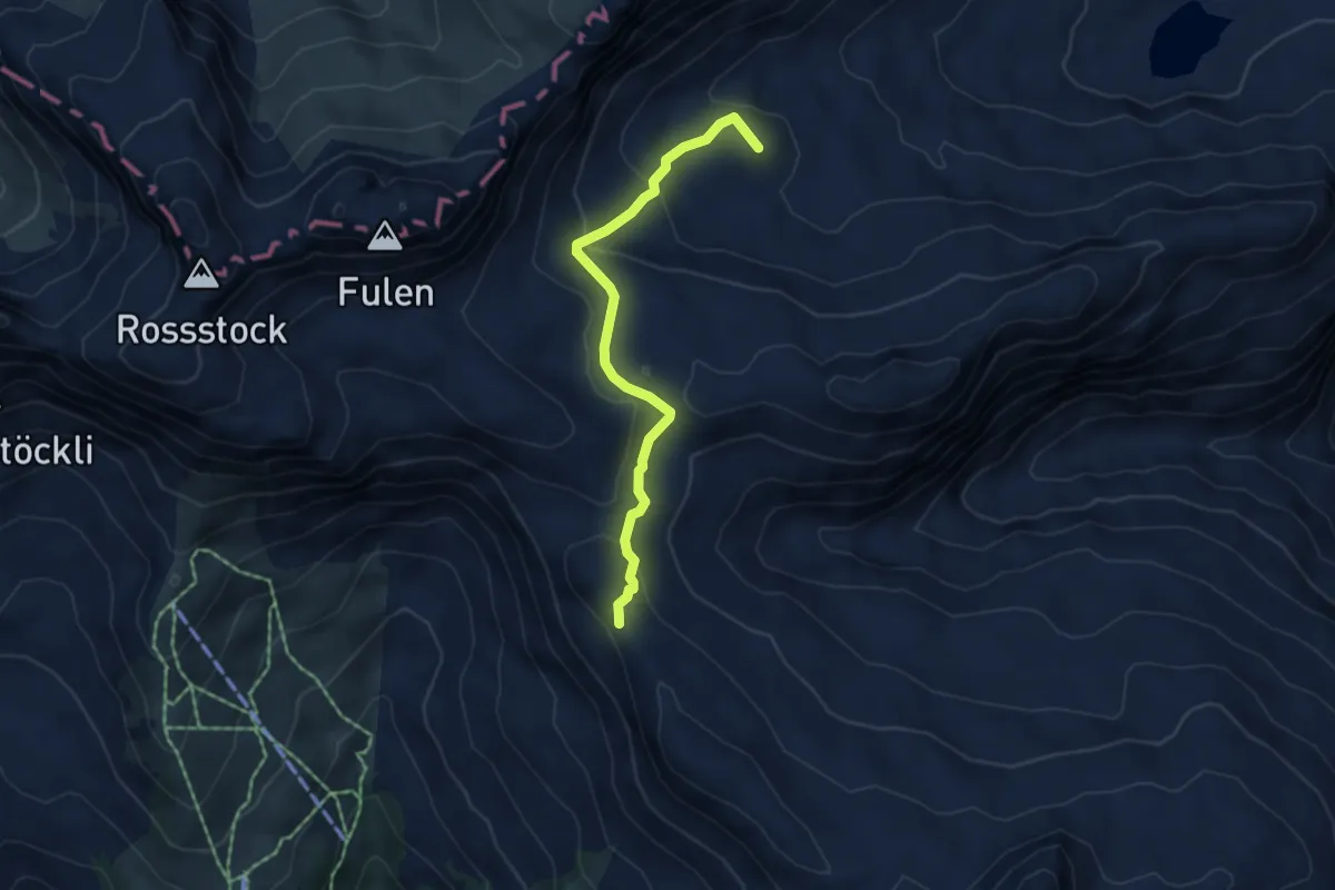
Easy · Summit
Chinzig Chulm – Alt Stäfeli
4.5 km · ↑ 192 m · 1 h 29 min · 7 km away
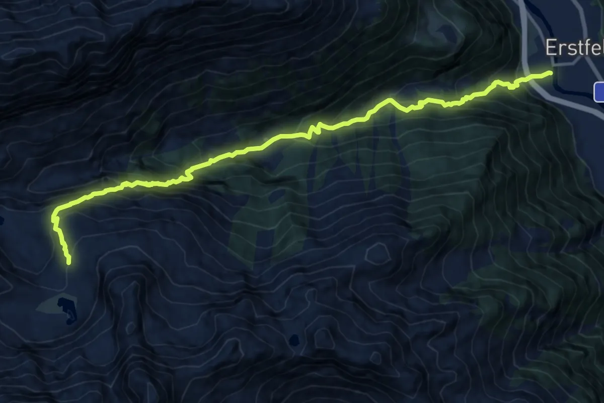
Demanding · Cabin
Aufstieg Kröntenhütte
14.8 km · ↑ 1585 m · 6 h 55 min · 7 km away
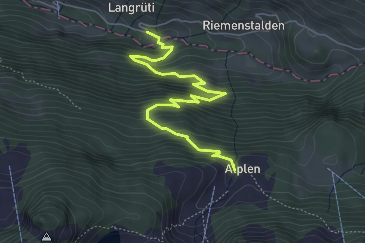
Medium · Trail
Langrüti - Alplen
5.4 km · ↑ 543 m · 2 h 27 min · 7 km away
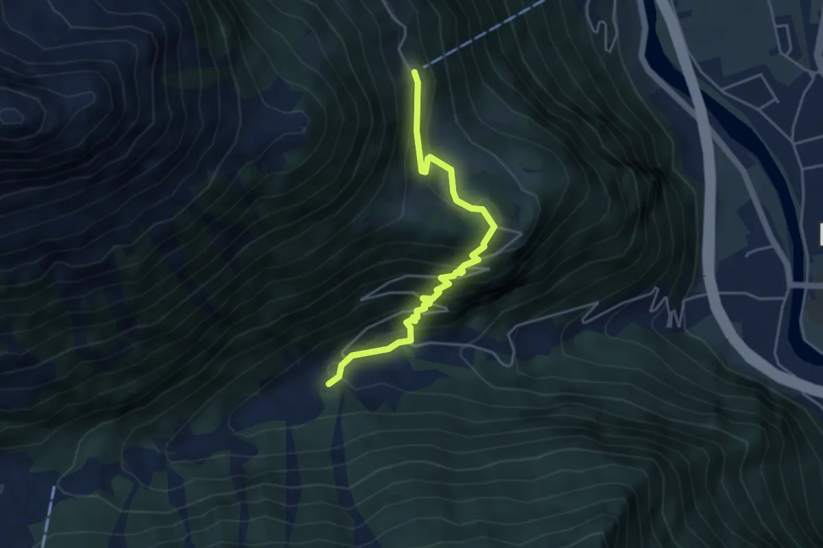
Medium · Trail
Erstfeld Wilerli
4.2 km · ↑ 344 m · 1 h 44 min · 7 km away
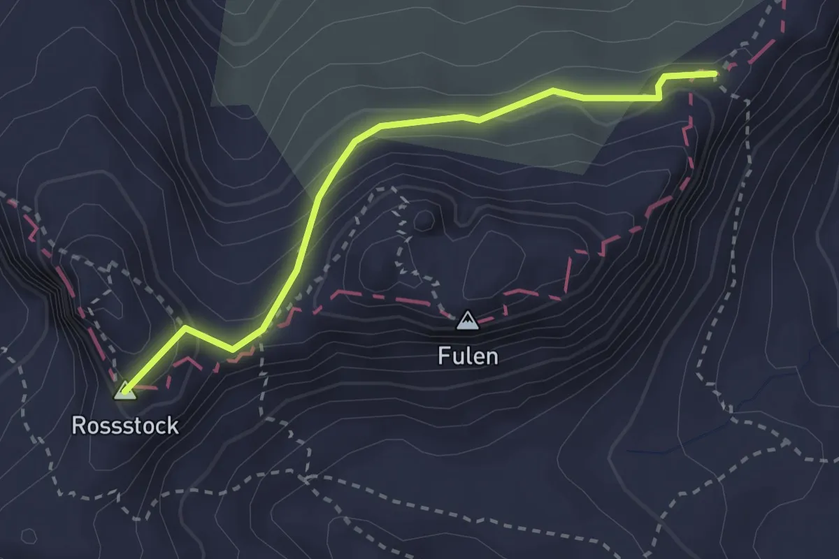
Medium · Summit
Rosstock – P2190
2.6 km · ↑ 165 m · 59 min · 8 km away
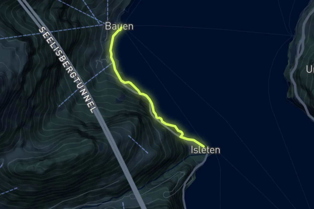
Demanding · Trail
Isleten Schiff-Bauen
5.1 km · ↑ 884 m · 3 h 7 min · 8 km away
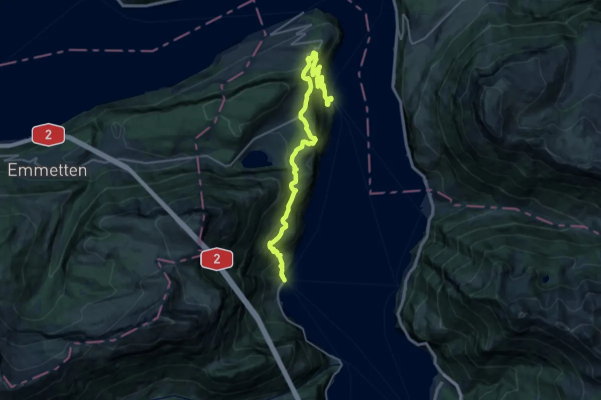
Demanding · Trail
Weg der Schweiz
18.4 km · ↑ 1243 m · 7 h 2 min · 8 km away
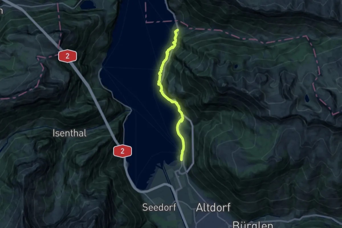
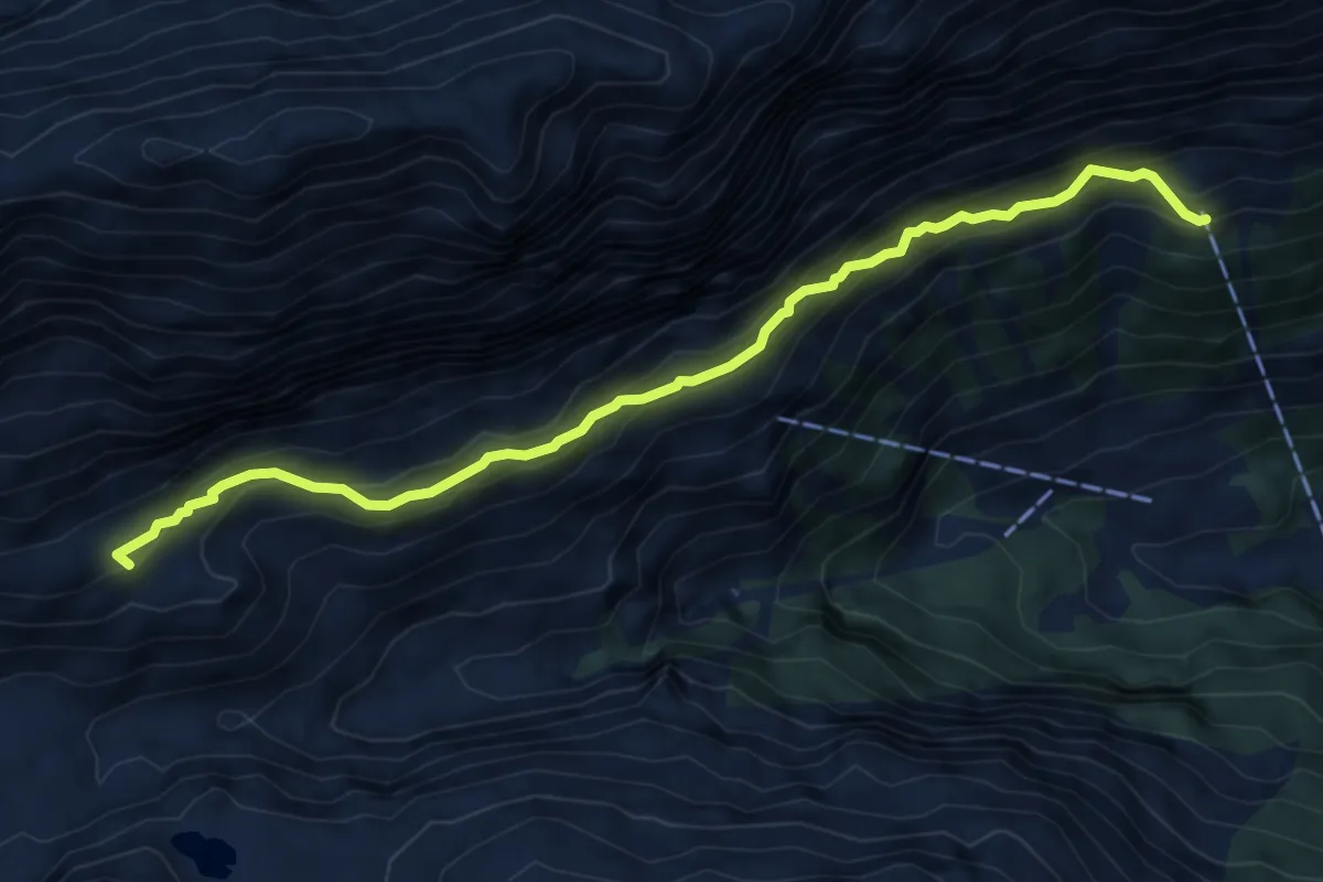
Demanding · Trail
Weg der Schweiz
14.8 km · ↑ 1346 m · 6 h 24 min · 8 km away
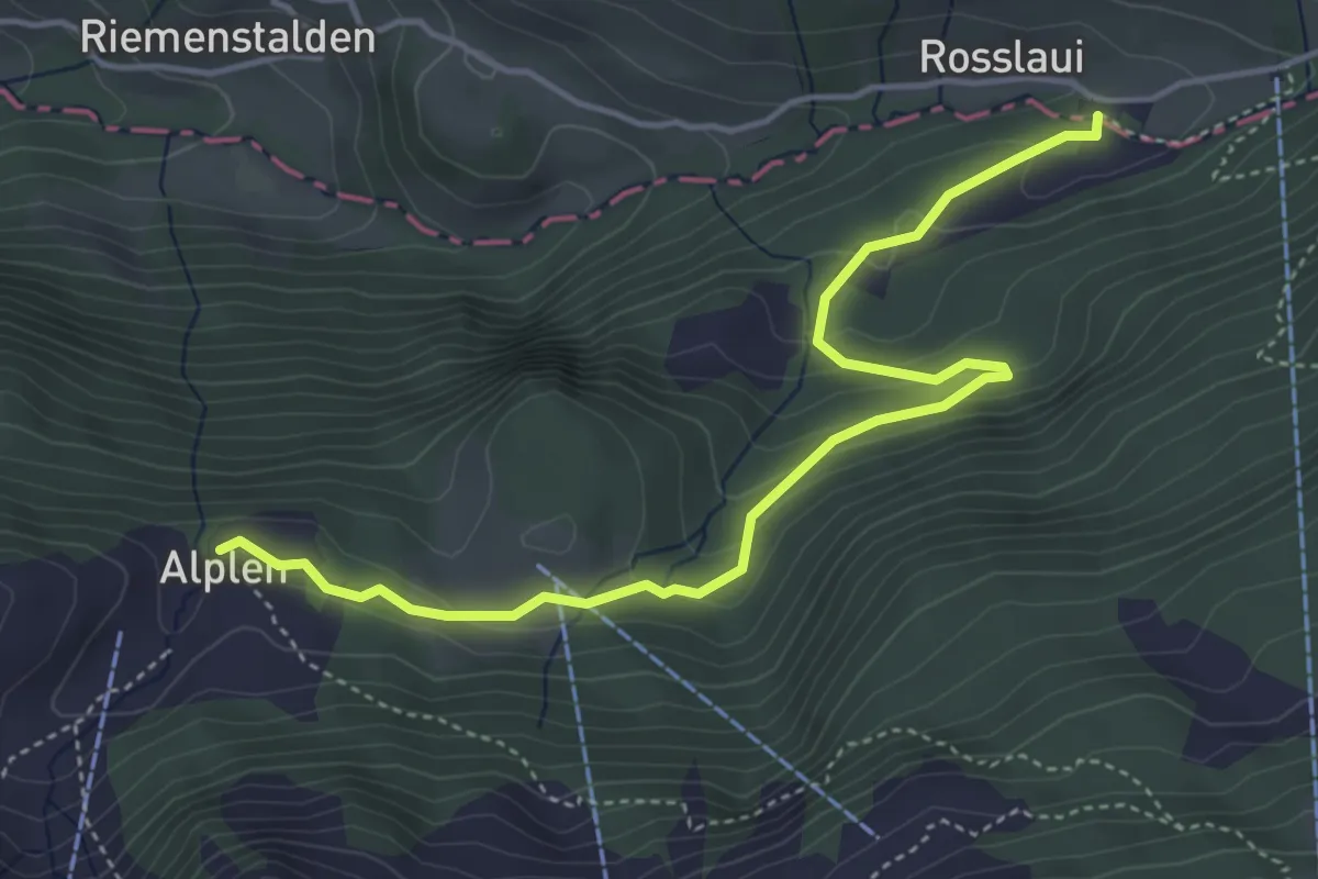
Demanding · Summit
Wllerli Grundbach
6.5 km · ↑ 483 m · 2 h 35 min · 8 km away
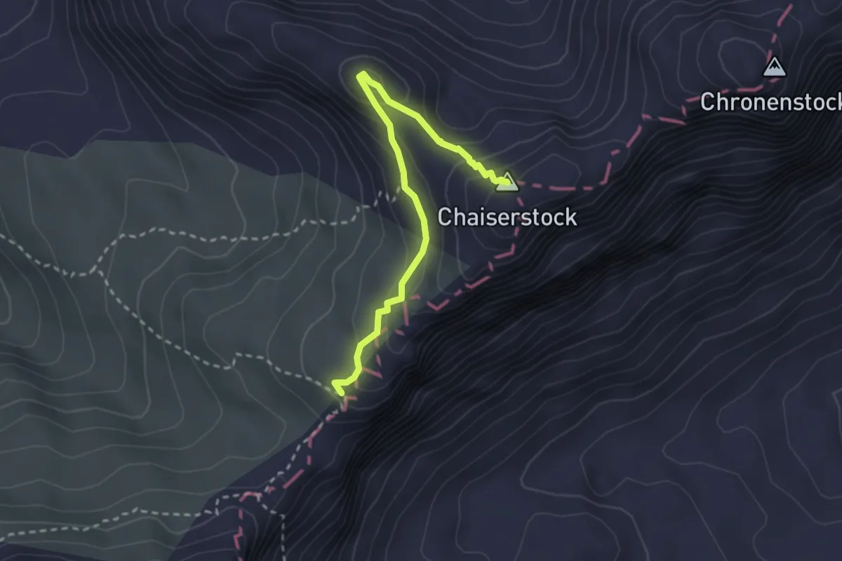
Easy · Trail
Chäppeliberg - Alplen
4.8 km · ↑ 211 m · 1 h 36 min · 8 km away
Expert · Summit
Chaiserstock blau
2.7 km · ↑ 208 m · 1 h 5 min · 8 km away
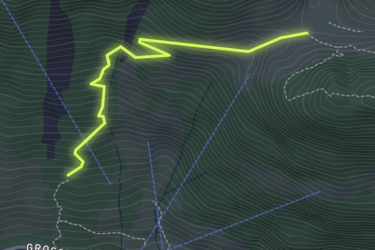
Demanding · Trail
Stalden – Furggelen
2.6 km · ↑ 312 m · 1 h 18 min · 8 km away
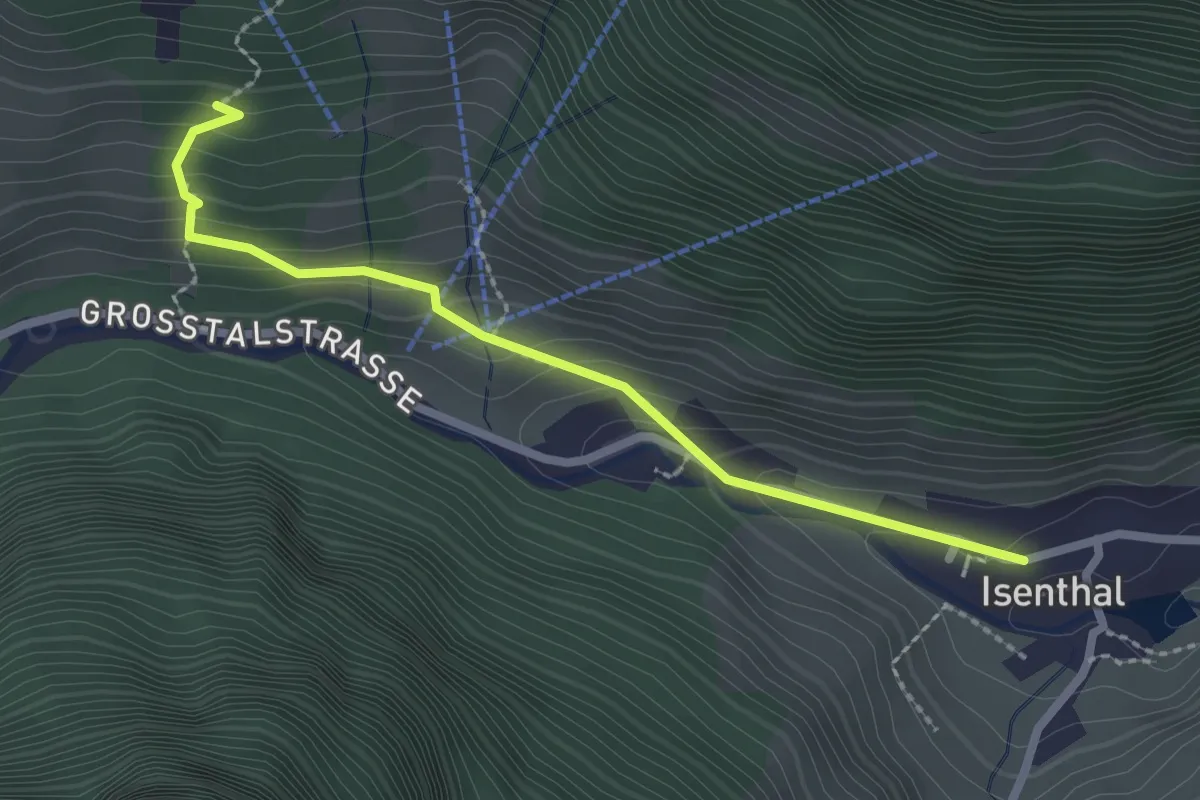
Demanding · Trail
Isenthal – Stalden
2.3 km · ↑ 169 m · 55 min · 8 km away
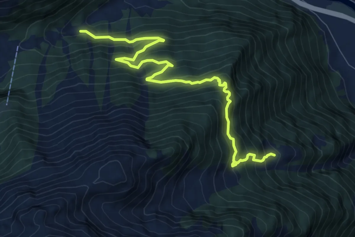
Expert · Trail
Restiberg – Riedberg
9.6 km · ↑ 1020 m · 4 h 29 min · 8 km away
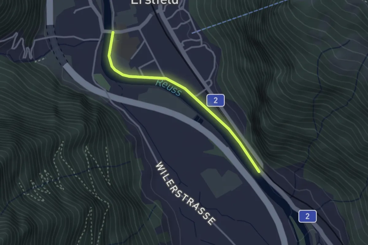
Easy · Trail
Erstfeld – Bruust
2.7 km · ↑ 18 m · 41 min · 8 km away
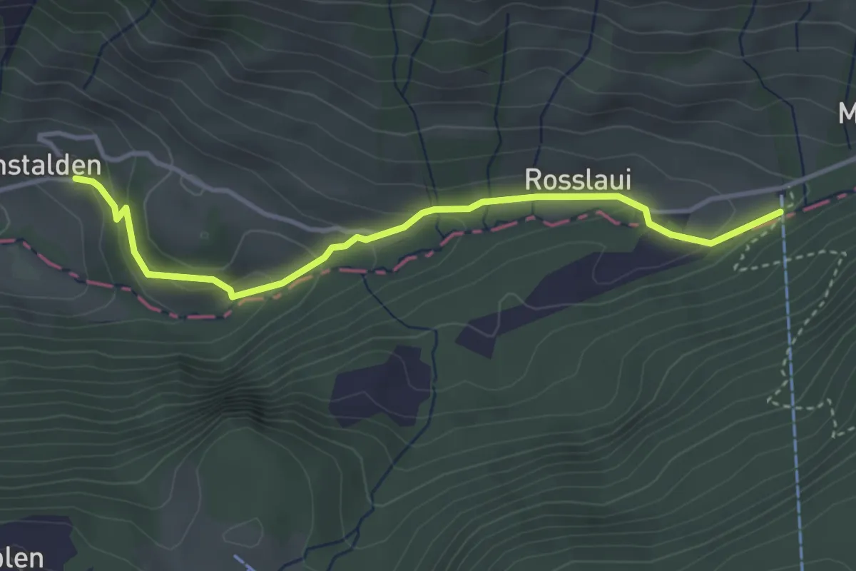
Easy · Trail
Chäppeliberg – Riemenstalden
3.6 km · ↑ 168 m · 1 h 12 min · 8 km away
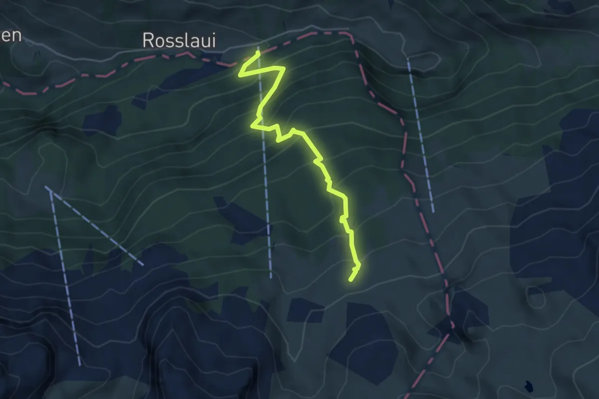
Medium · Cabin
Chäppeliberg – Lidernenhütte SAC
4.4 km · ↑ 529 m · 2 h 11 min · 8 km away
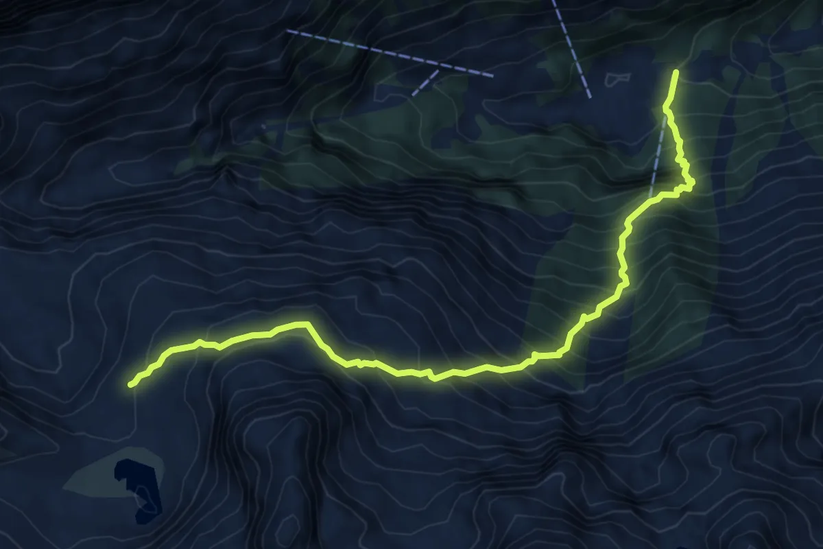
Expert · Cabin
Bodenberg Kröntenhütte
8.1 km · ↑ 1094 m · 4 h 17 min · 8 km away
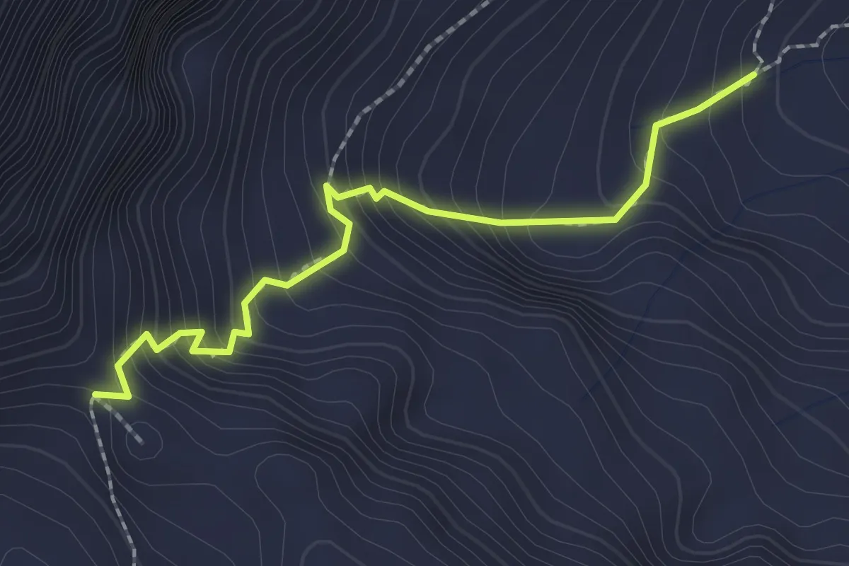
Medium · Trail
Langschnee – Surenenpass
2.2 km · ↑ 268 m · 1 h 5 min · 8 km away
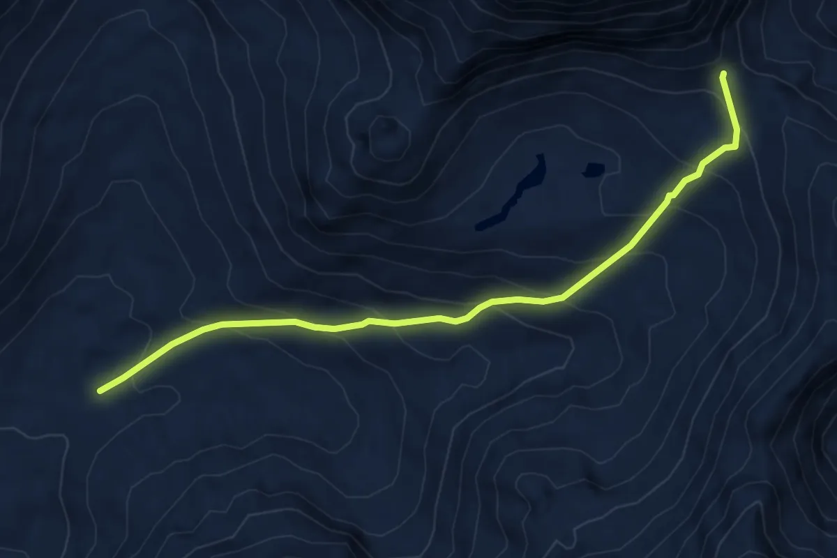
Medium · Trail
Surenenpass – Blackenalp
6.0 km · ↑ 492 m · 2 h 29 min · 9 km away
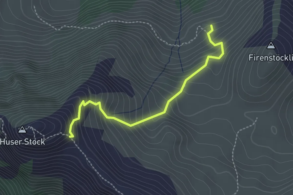
Easy · Trail
Underbäch – Huser Stock
2.4 km · ↑ 274 m · 1 h 9 min · 9 km away
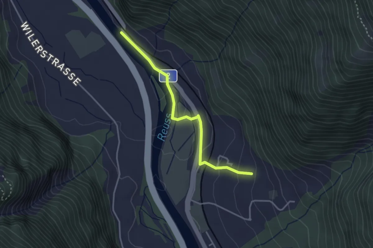
Medium · Trail
Bruust – Buecholz
3.0 km · ↑ 94 m · 55 min · 9 km away
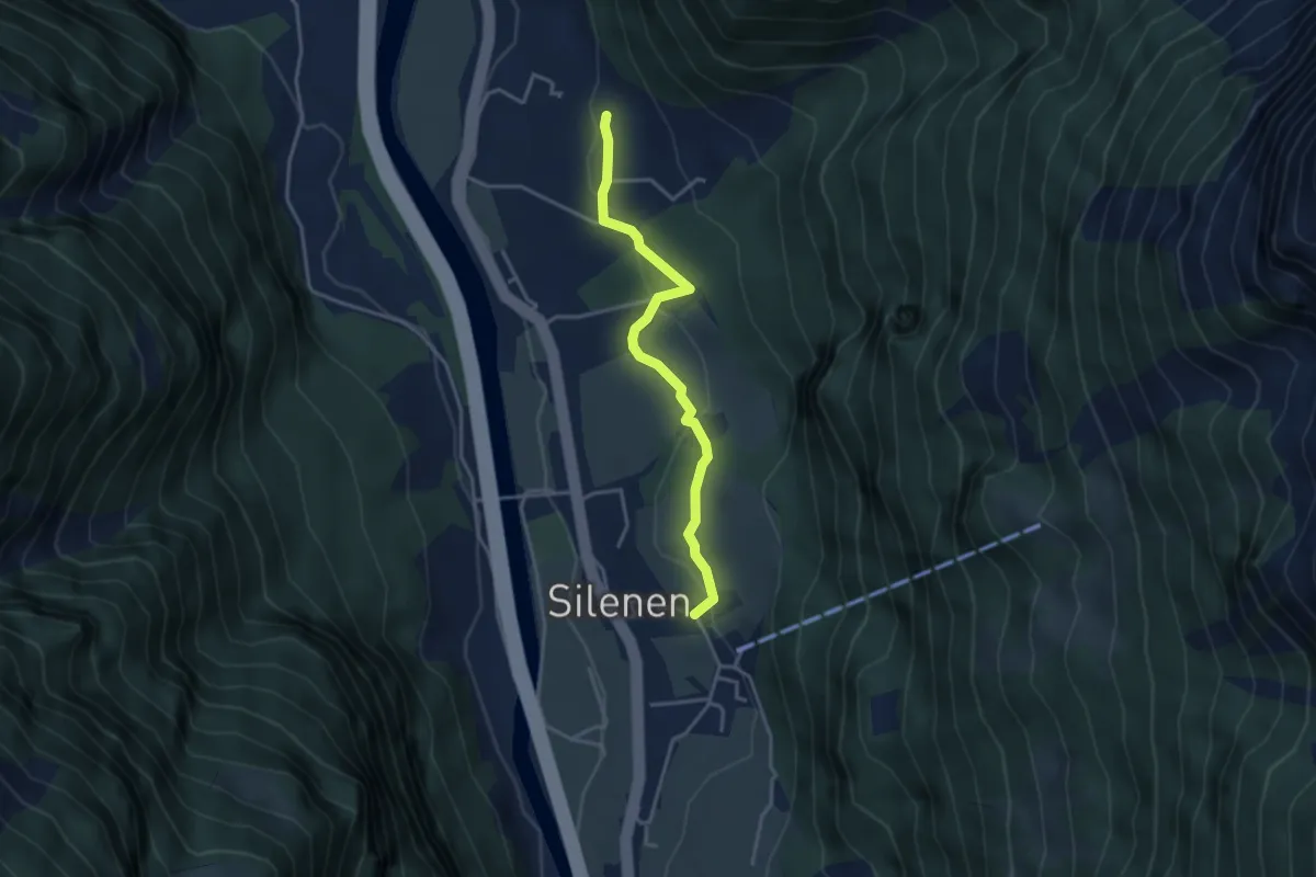
Easy · Trail
Buechholz – Dägerlohn
3.5 km · ↑ 102 m · 1 h 3 min · 9 km away
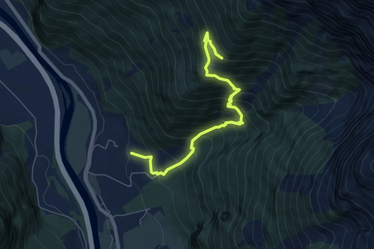
Medium · Trail
Buechholz – Strängmatt
5.8 km · ↑ 724 m · 2 h 57 min · 9 km away
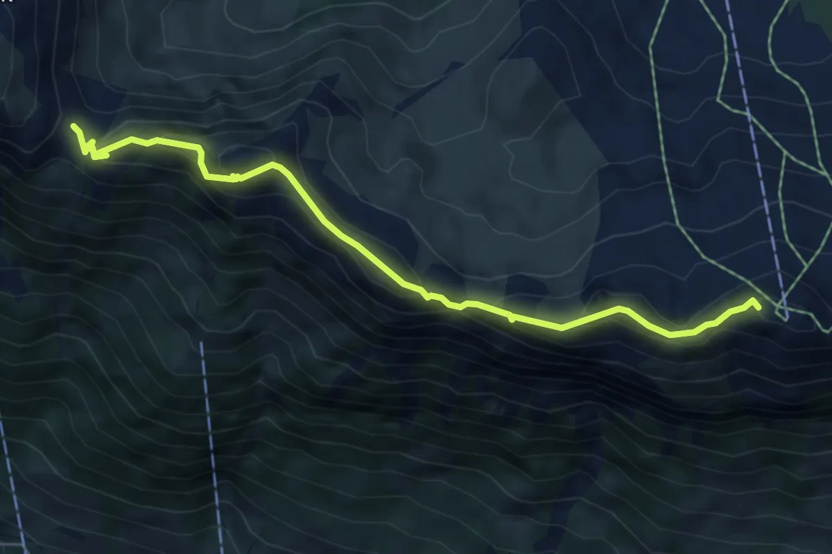
Medium · Summit
Furgeli – Klingenstock
6.0 km · ↑ 403 m · 2 h 18 min · 9 km away
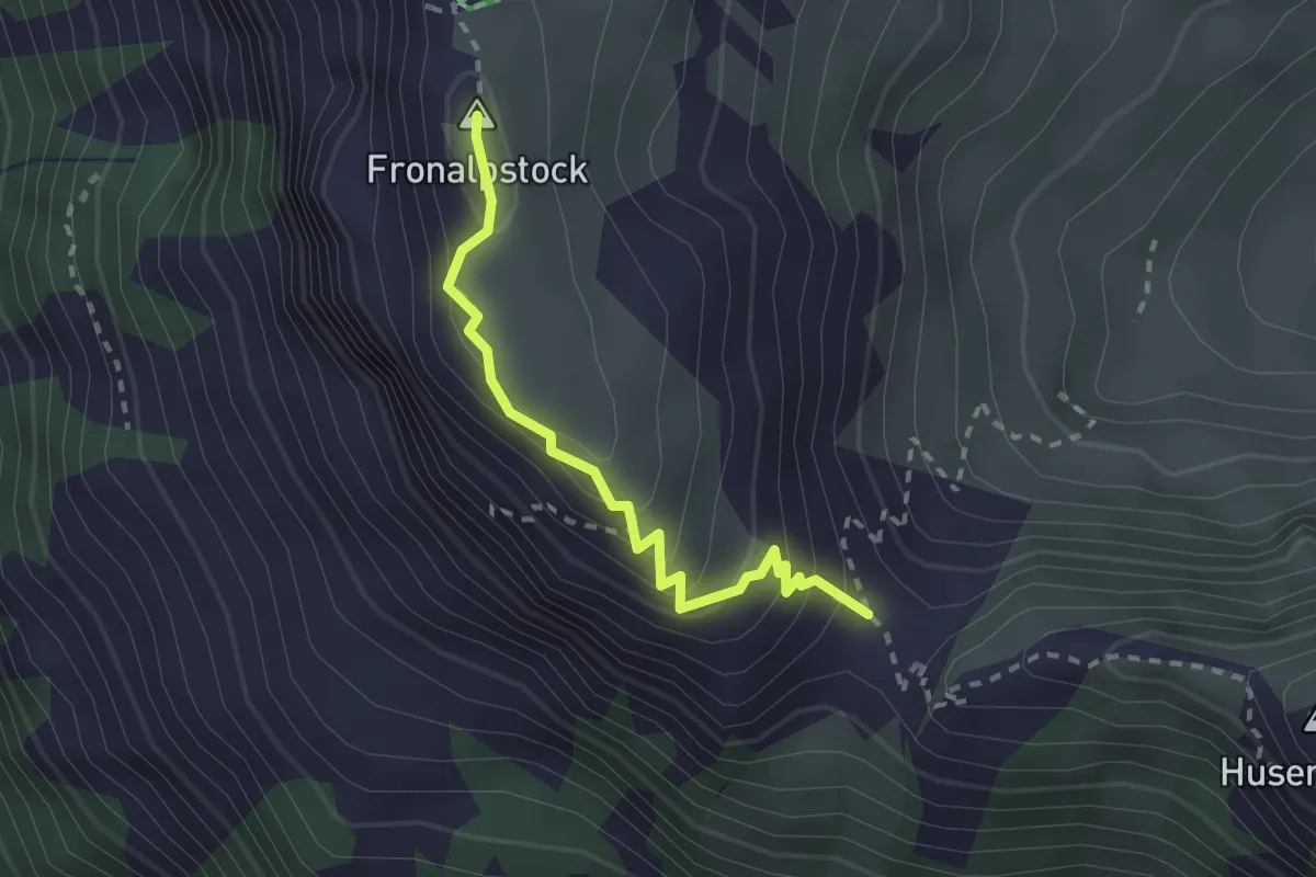
Medium · Summit
Fronalpstock - Furgeli
2.2 km · ↑ 208 m · 59 min · 9 km away
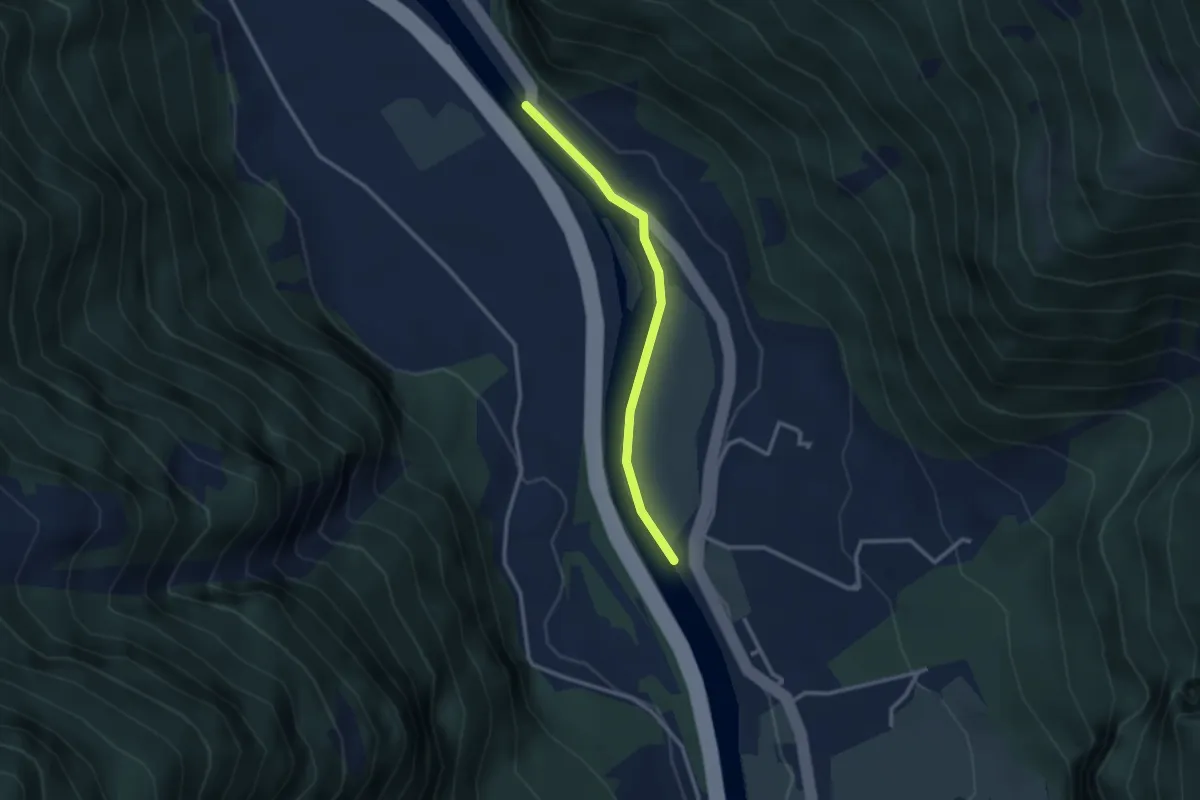
Easy · Trail
Bruust – Ellbogen
2.6 km · ↑ 17 m · 39 min · 9 km away
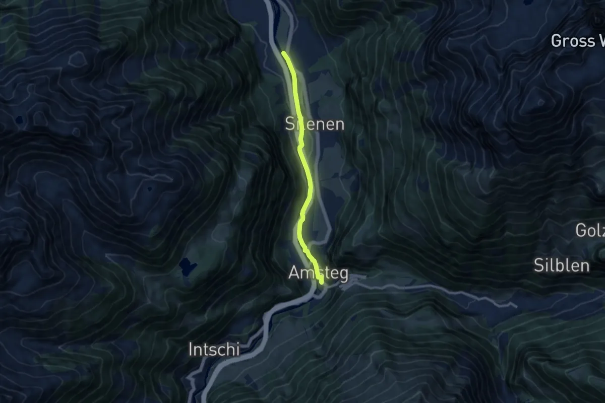
Easy · Trail
Ellbogen – Amsteg
7.8 km · ↑ 51 m · 1 h 57 min · 9 km away
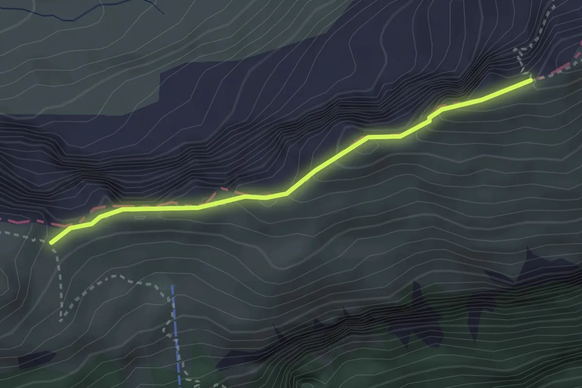
Demanding · Trail
Schwiren - Inner Baberg
2.8 km · ↑ 301 m · 1 h 19 min · 9 km away
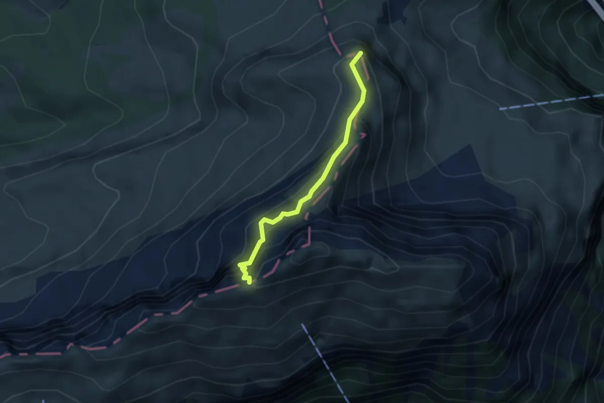
Expert · Summit
Fulberg - Schwiren
2.9 km · ↑ 389 m · 1 h 32 min · 9 km away
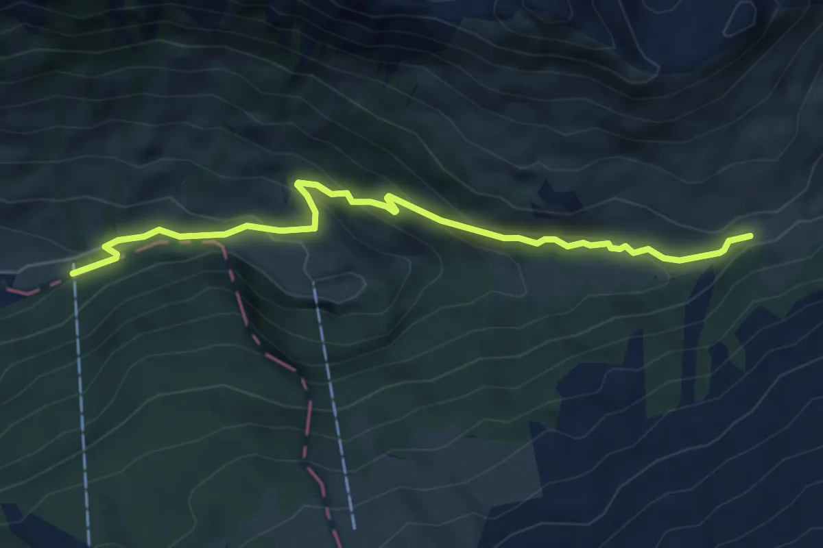
Easy · Trail
Chäppeliberg – Höchi
5.8 km · ↑ 309 m · 2 h 2 min · 9 km away
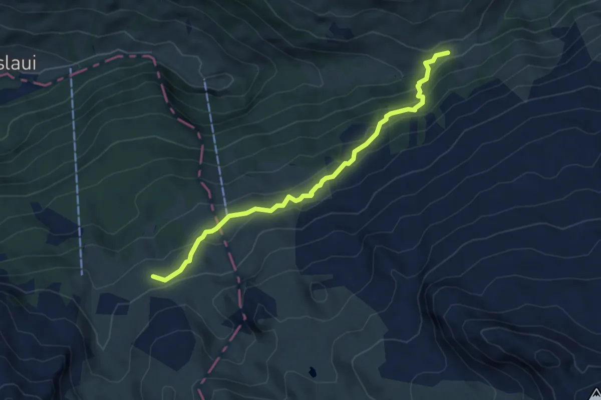
Medium · Cabin
Lidernenhütte SAC – Höchi
5.3 km · ↑ 324 m · 1 h 58 min · 9 km away
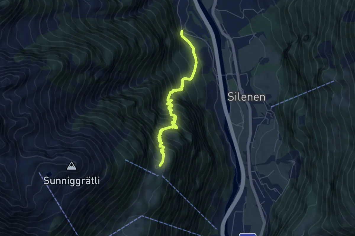
Demanding · Trail
Vorder Arni – Bruust
6.0 km · ↑ 844 m · 3 h 15 min · 9 km away
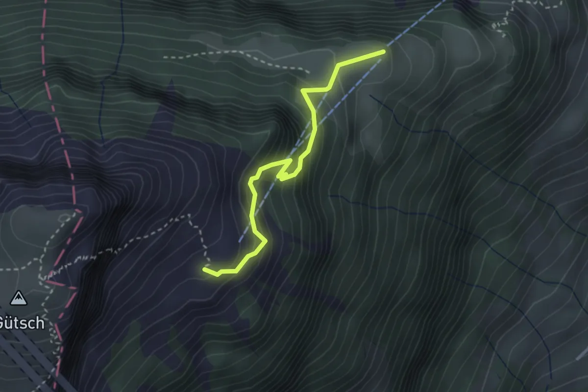
Medium · Trail
Weid - Lauweli
2.7 km · ↑ 338 m · 1 h 23 min · 9 km away
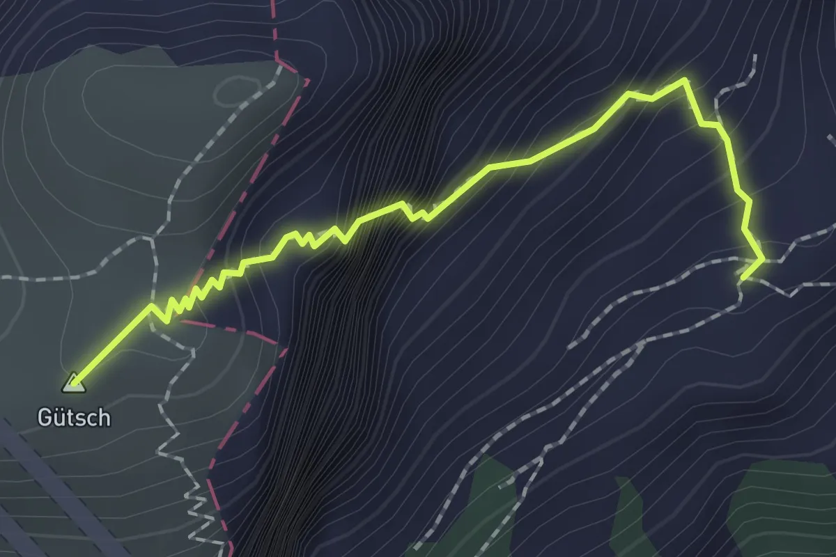
Expert · Summit
Lauweli - Niderbauen
1.9 km · ↑ 335 m · 1 h 11 min · 9 km away