Trails near Bassersdorf
591 hikes starting within 15 km, nearest first.
Nearest first, page 11 of 13
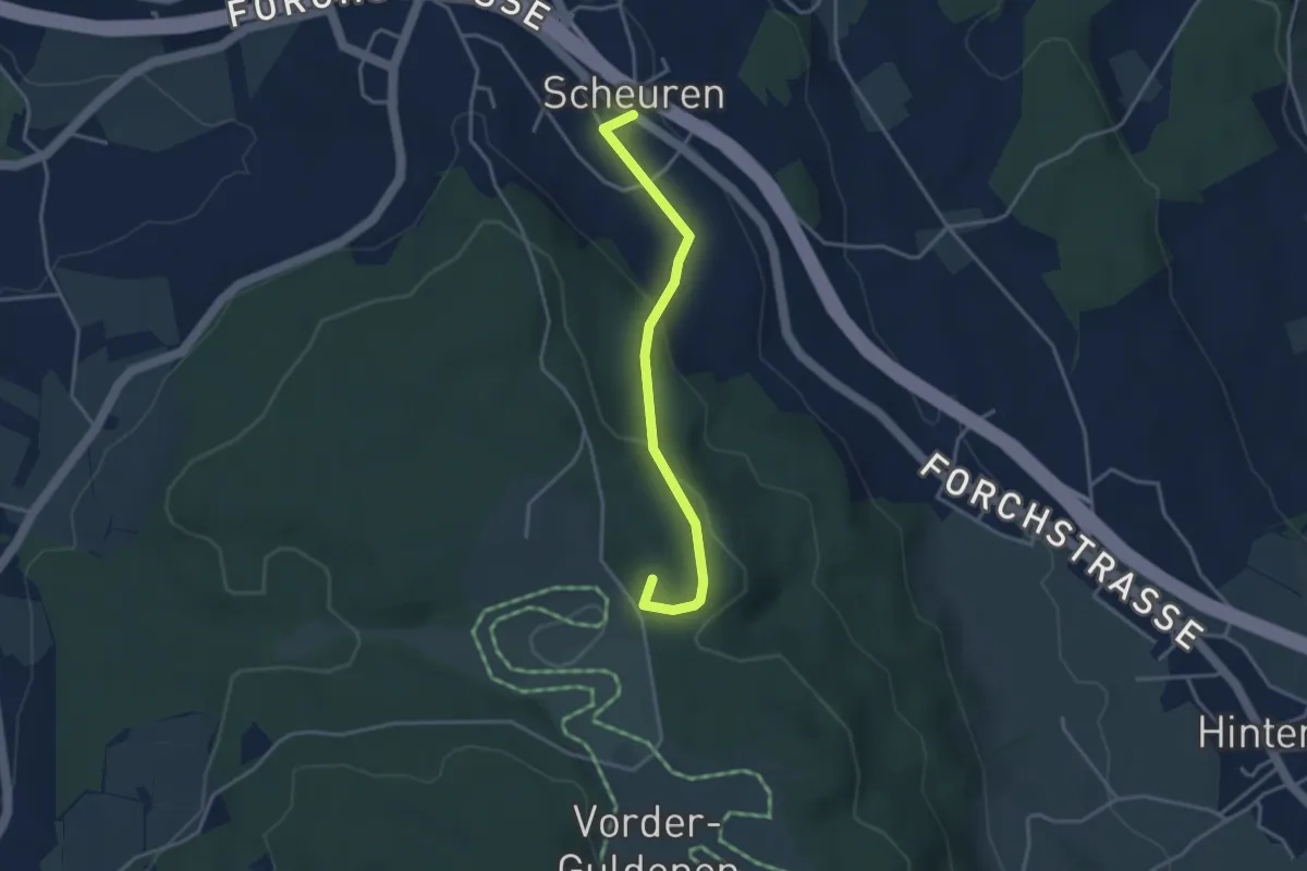
Easy · Summit
Scheuren – Gerstenchrütz
3.4 km · ↑ 116 m · 1 h 3 min · 14 km away
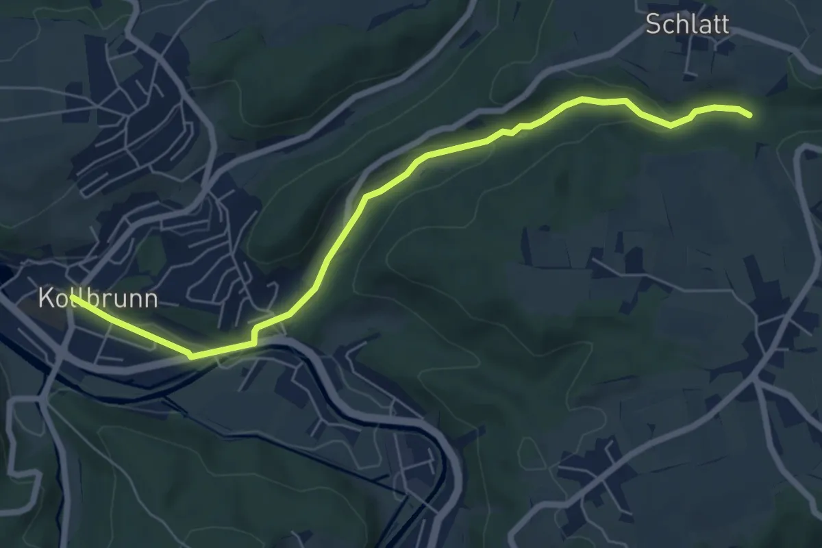
Easy · Trail
Kollbrunn Bhf. – Rörlitobel
6.4 km · ↑ 127 m · 1 h 47 min · 14 km away
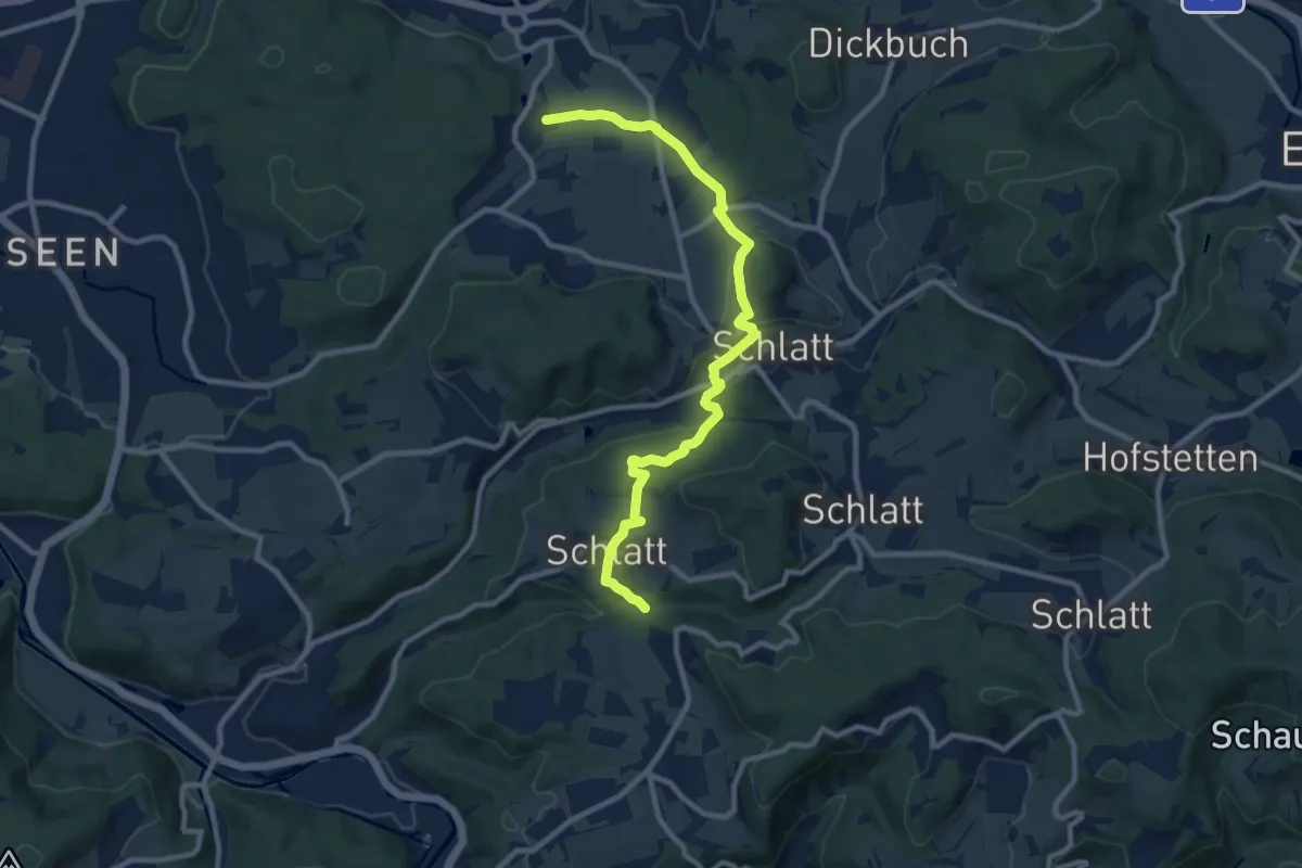
Medium · Trail
Weingarten – Rörlitobel
10.4 km · ↑ 260 m · 3 h 1 min · 14 km away
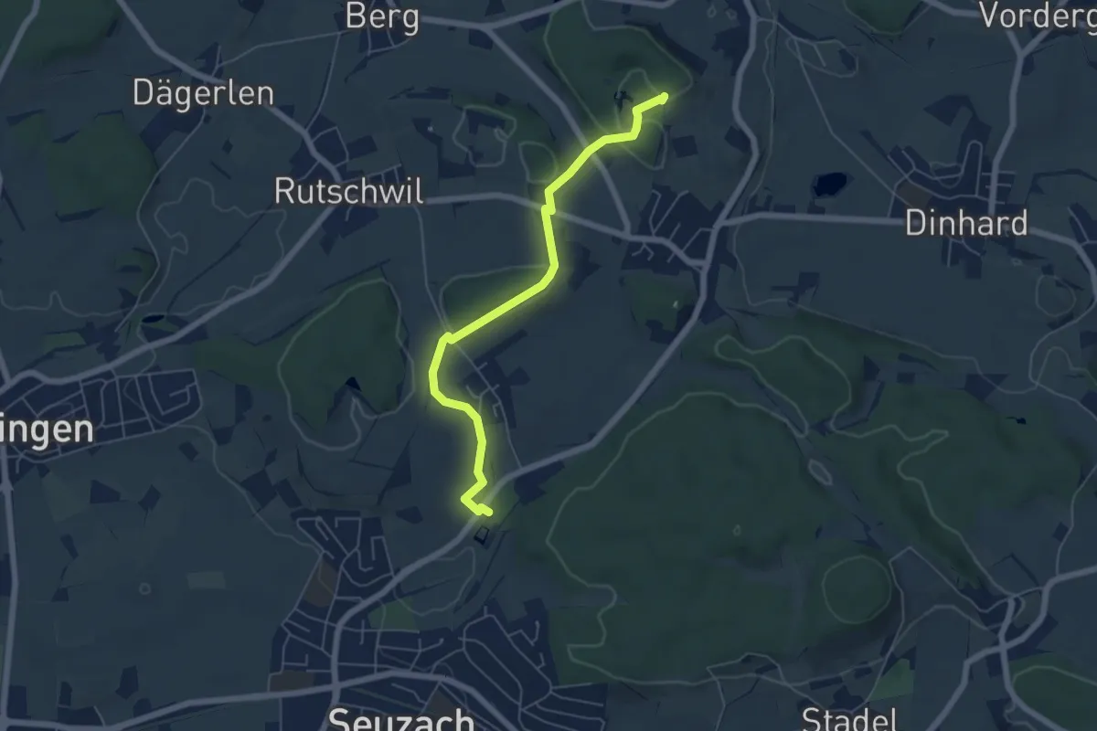
Easy · Trail
Weier Seuzach – Gurisee
5.6 km · ↑ 85 m · 1 h 31 min · 14 km away
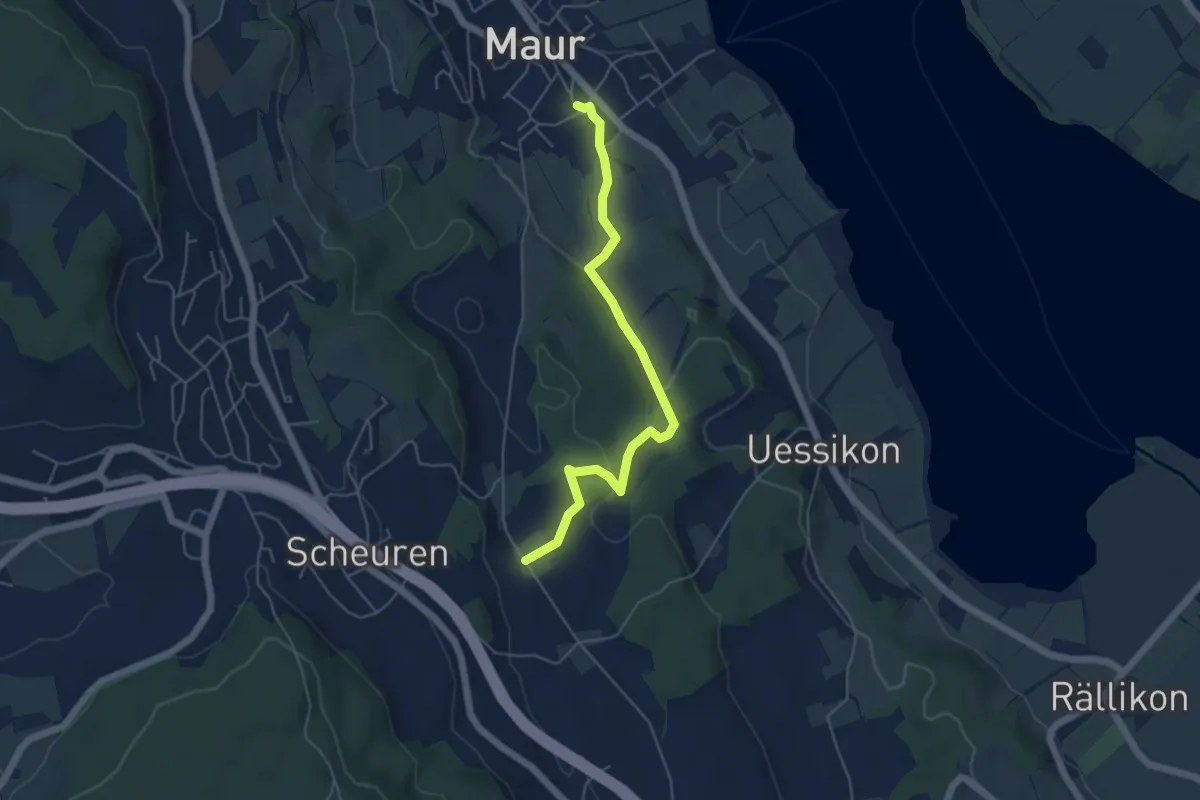
Easy · Trail
Maur – Hinterwannwis
5.1 km · ↑ 119 m · 1 h 28 min · 14 km away
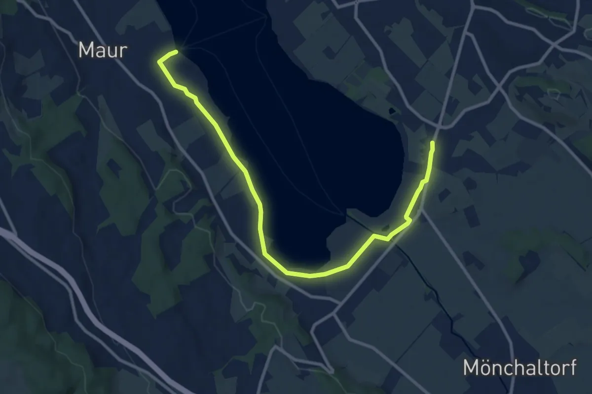
Medium · Trail
Riedikon - Maur Schifflände
9.8 km · ↑ 24 m · 2 h 22 min · 14 km away
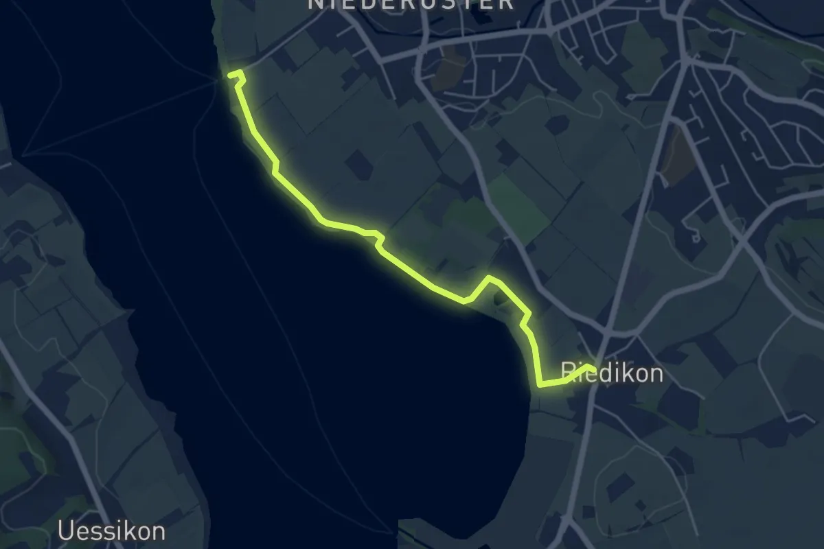
Easy · Trail
Niederuster – Riedikon
5.0 km · ↑ 13 m · 1 h 13 min · 14 km away
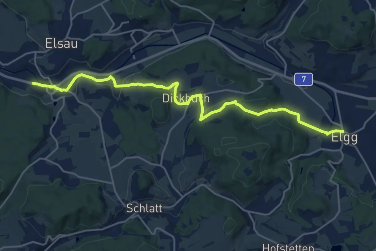
Medium · Trail
Bahnhof Räterschen – Elgg
14.0 km · ↑ 350 m · 4 h 4 min · 14 km away
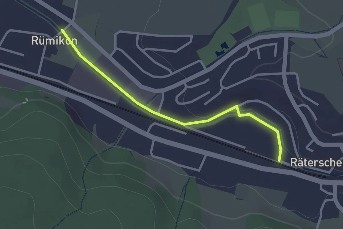
Easy · Trail
Rümikon – Bahnhof Räterschen
2.4 km · ↑ 25 m · 37 min · 14 km away
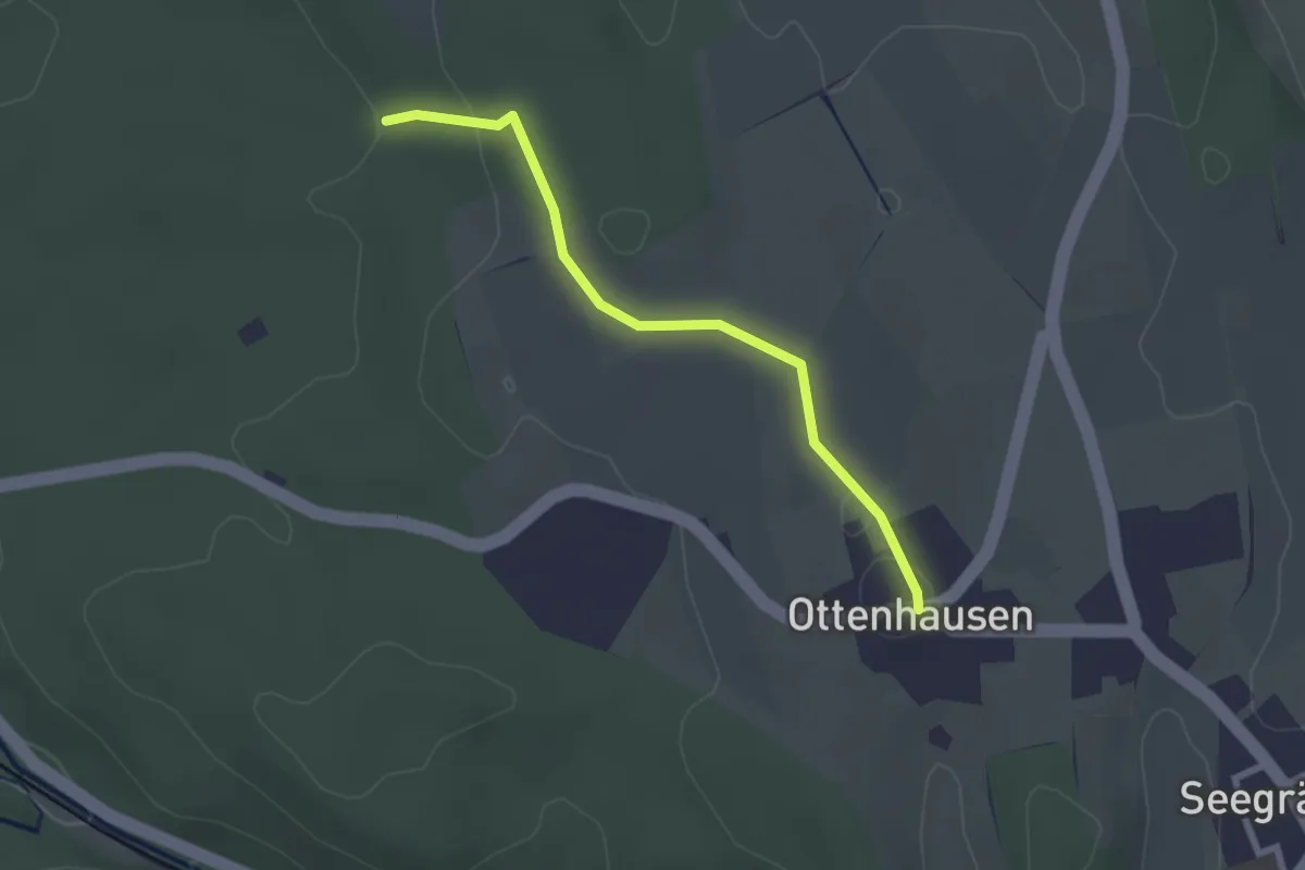
Easy · Trail
Ottenhusen - Römerbrünneli
2.4 km · ↑ 36 m · 39 min · 14 km away
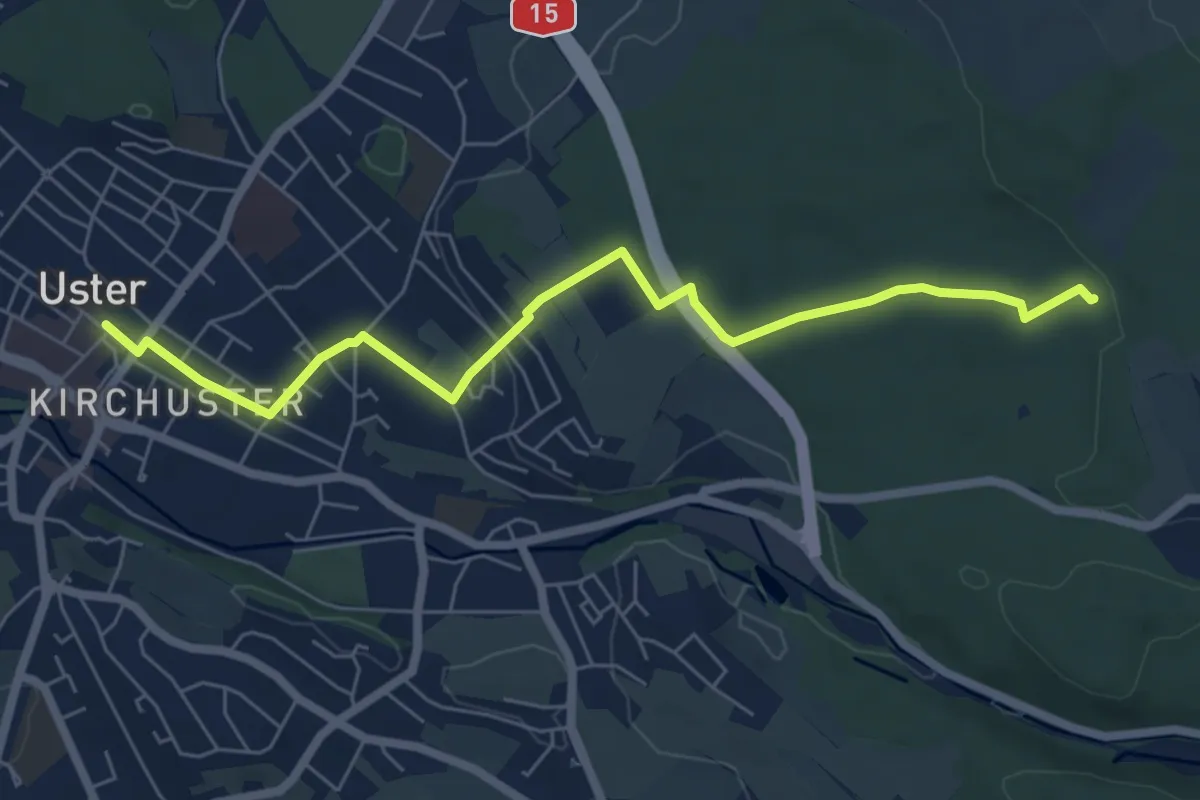
Easy · Trail
Uster - Römerbrünneli
6.7 km · ↑ 94 m · 1 h 47 min · 14 km away
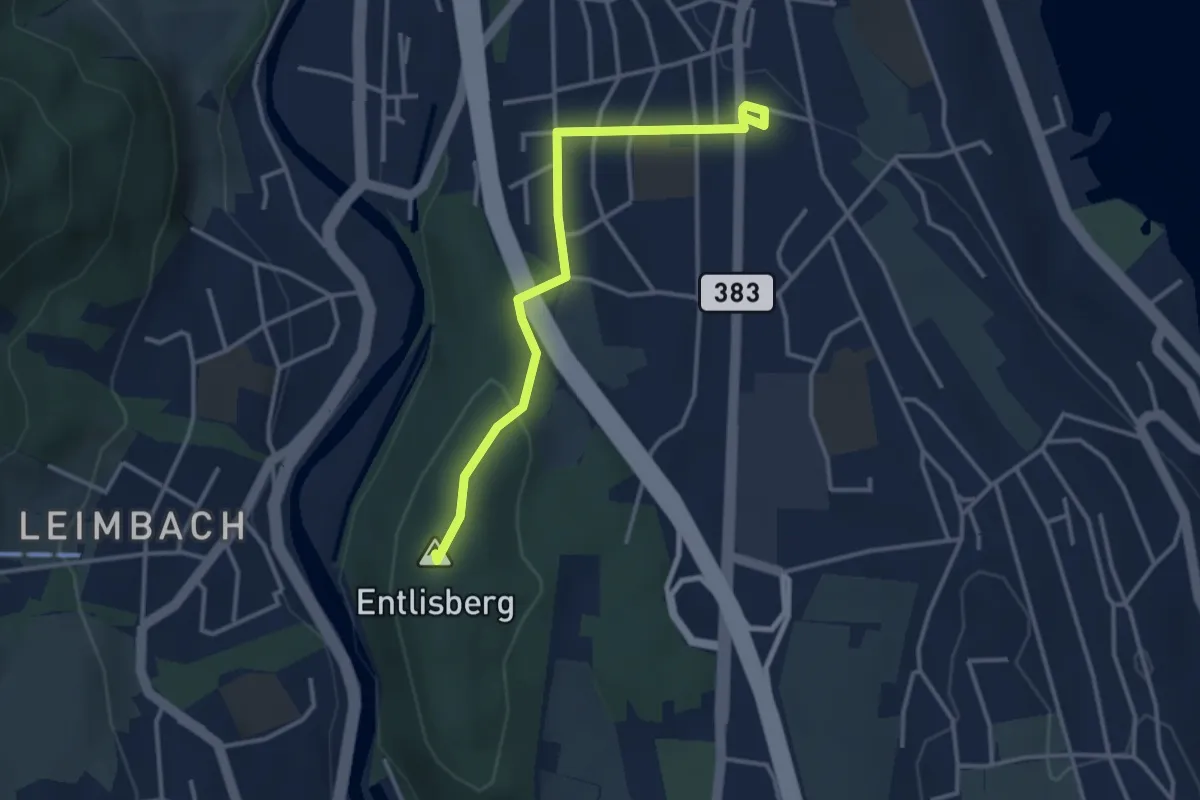
Easy · Summit
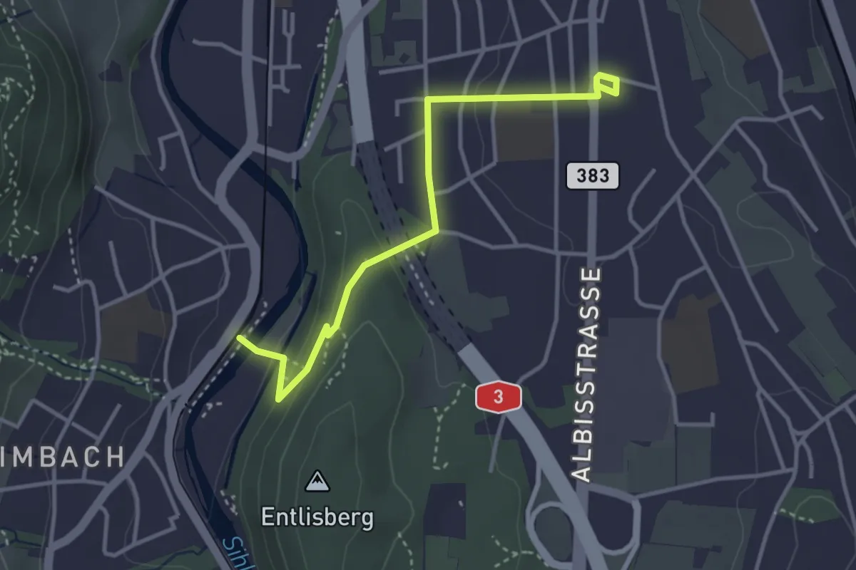
Sood Oberleimbach – Wollishofen
3.3 km · ↑ 75 m · 57 min · 14 km away
Easy · Trail
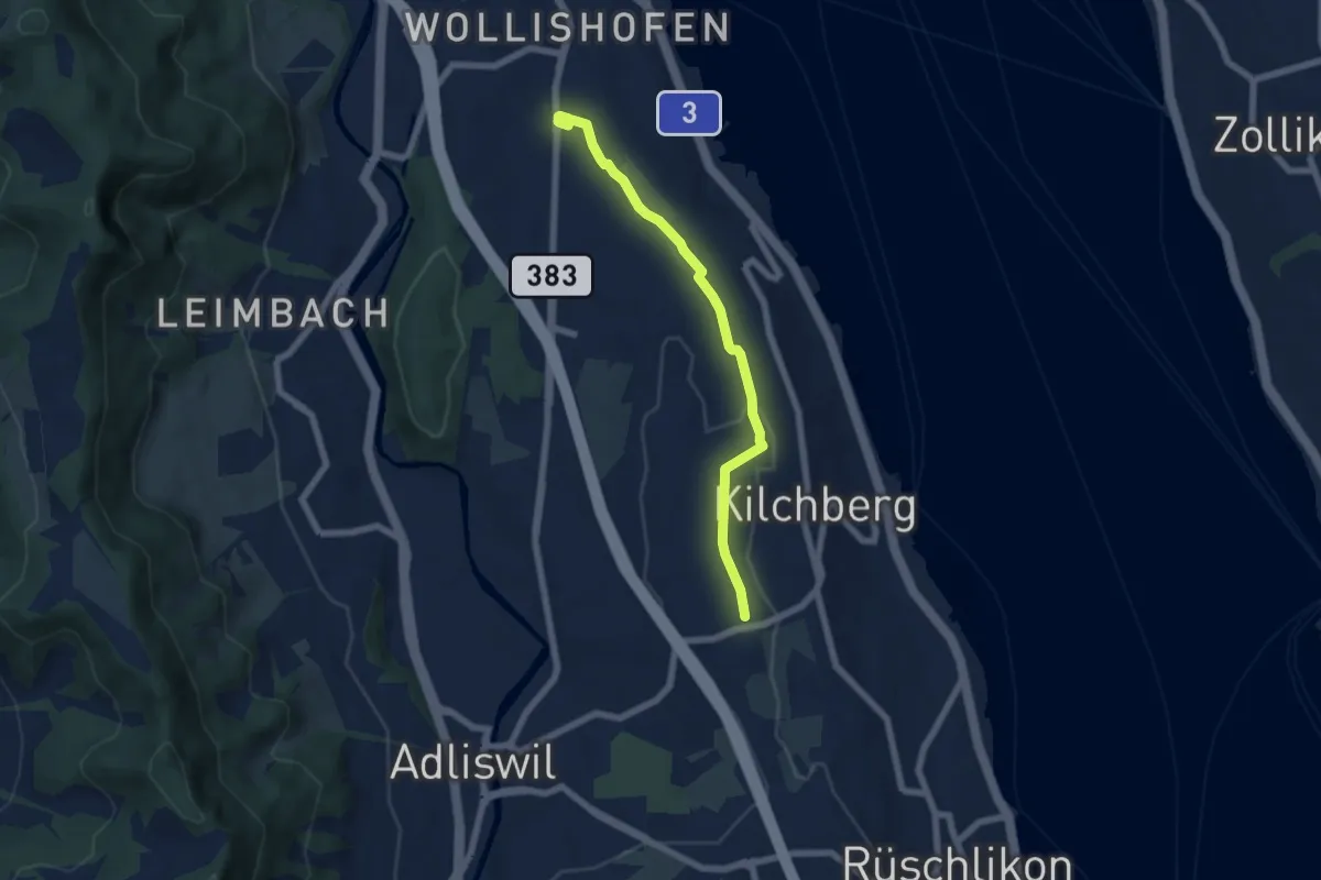
Leimbach – Wollishofen
3.5 km · ↑ 85 m · 1 h · 14 km away
Easy · Trail
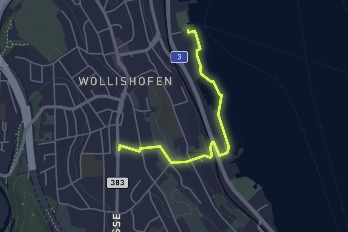
Wollishofen – Kilchberg Spital
6.0 km · ↑ 59 m · 1 h 33 min · 14 km away
Easy · Trail
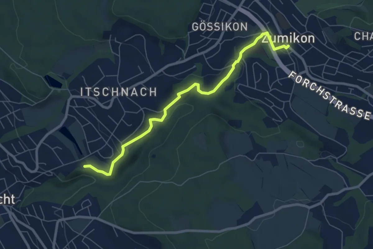
Wollishofen (Schiff) – Wollishofen
3.8 km · ↑ 51 m · 1 h · 14 km away
Easy · Trail
Schübelweiher - Zumikon
6.3 km · ↑ 177 m · 1 h 53 min · 14 km away
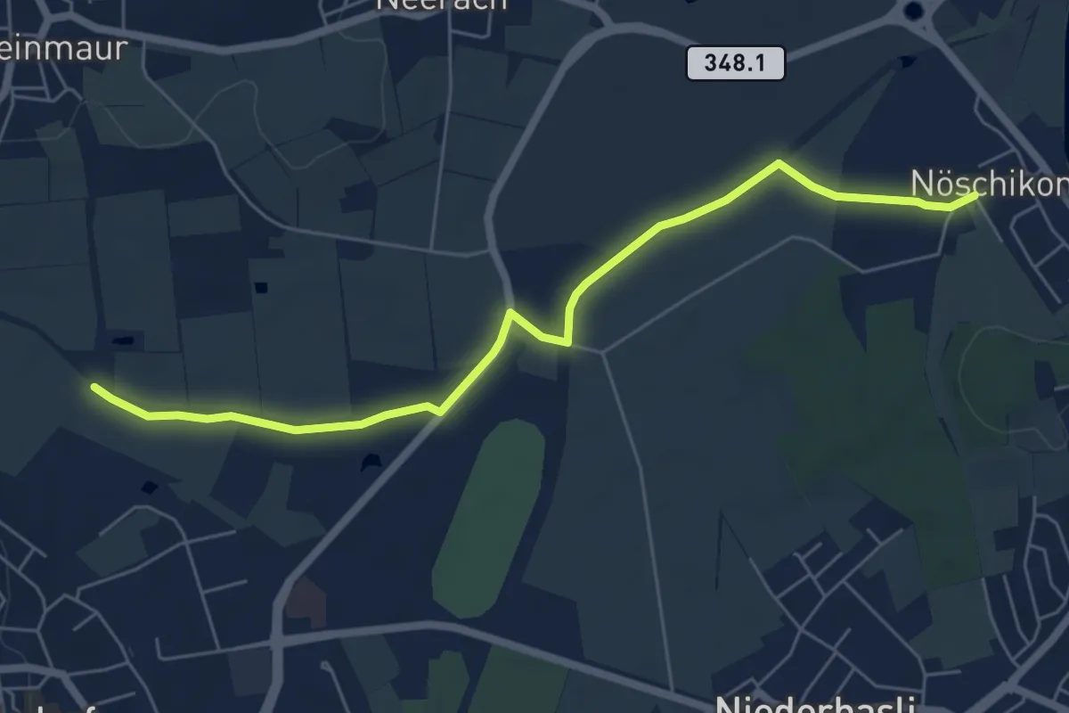
Easy · Trail
Nöschikon - Storchensiedlung
6.2 km · ↑ 17 m · 1 h 30 min · 14 km away
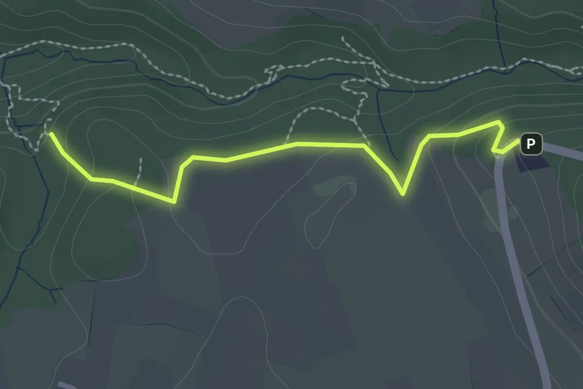
Easy · Trail
Tüfels Chilen - Wolfbrunnen
2.3 km · ↑ 82 m · 44 min · 14 km away
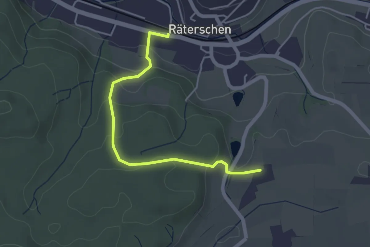
Easy · Trail
Bahnhof Räterschen – Weingarten
3.6 km · ↑ 138 m · 1 h 9 min · 14 km away
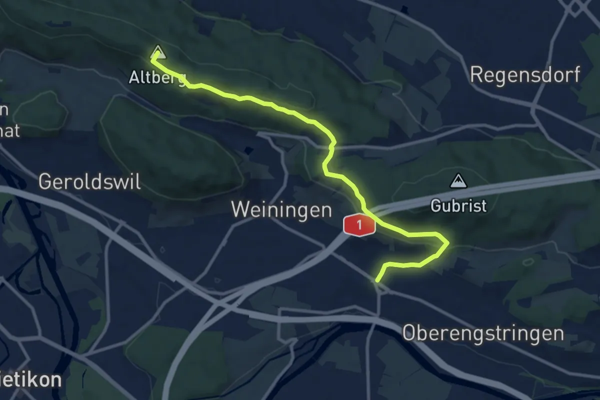
Medium · Summit
Unterengstringen - Altberg
9.6 km · ↑ 372 m · 3 h 4 min · 14 km away
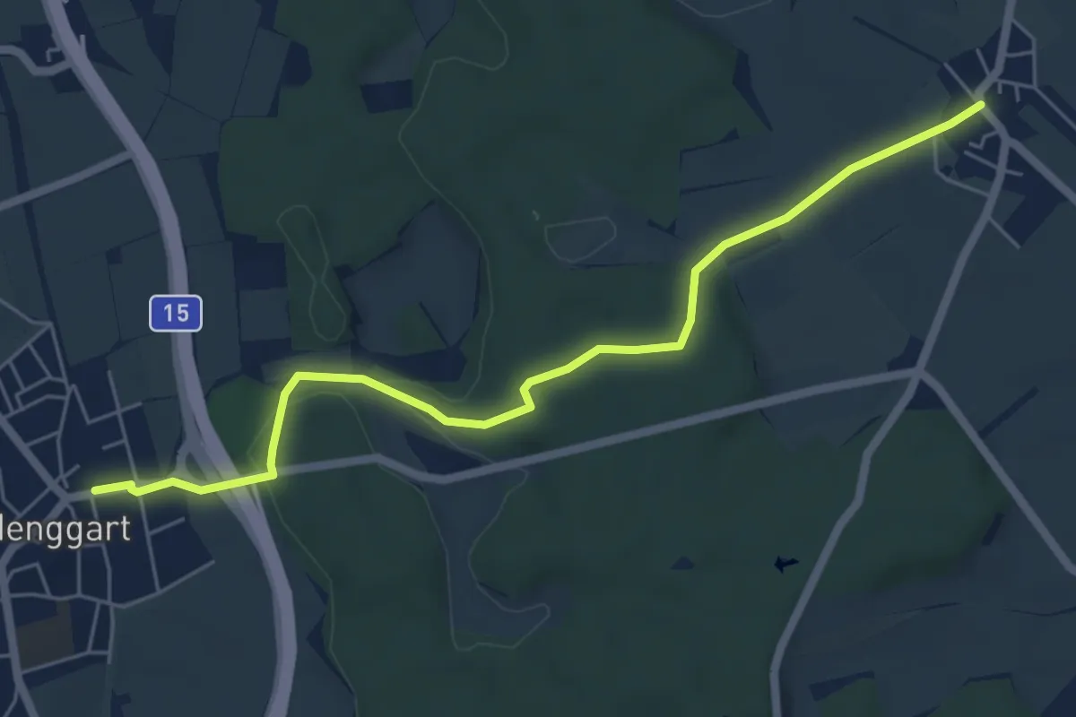
Easy · Trail
Henggart – Oberwil
6.0 km · ↑ 83 m · 1 h 35 min · 14 km away
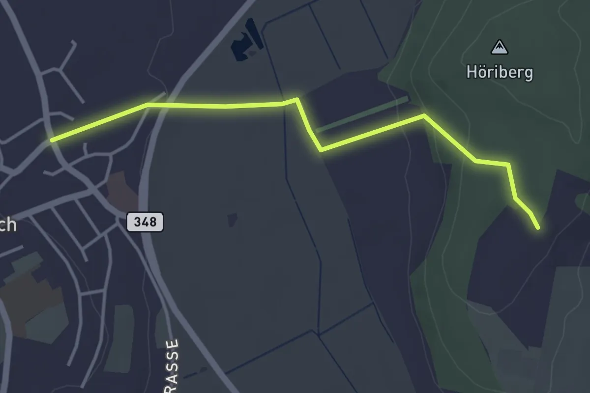
Easy · Trail
Höriberg – Neerach (Post)
3.6 km · ↑ 78 m · 1 h 1 min · 14 km away
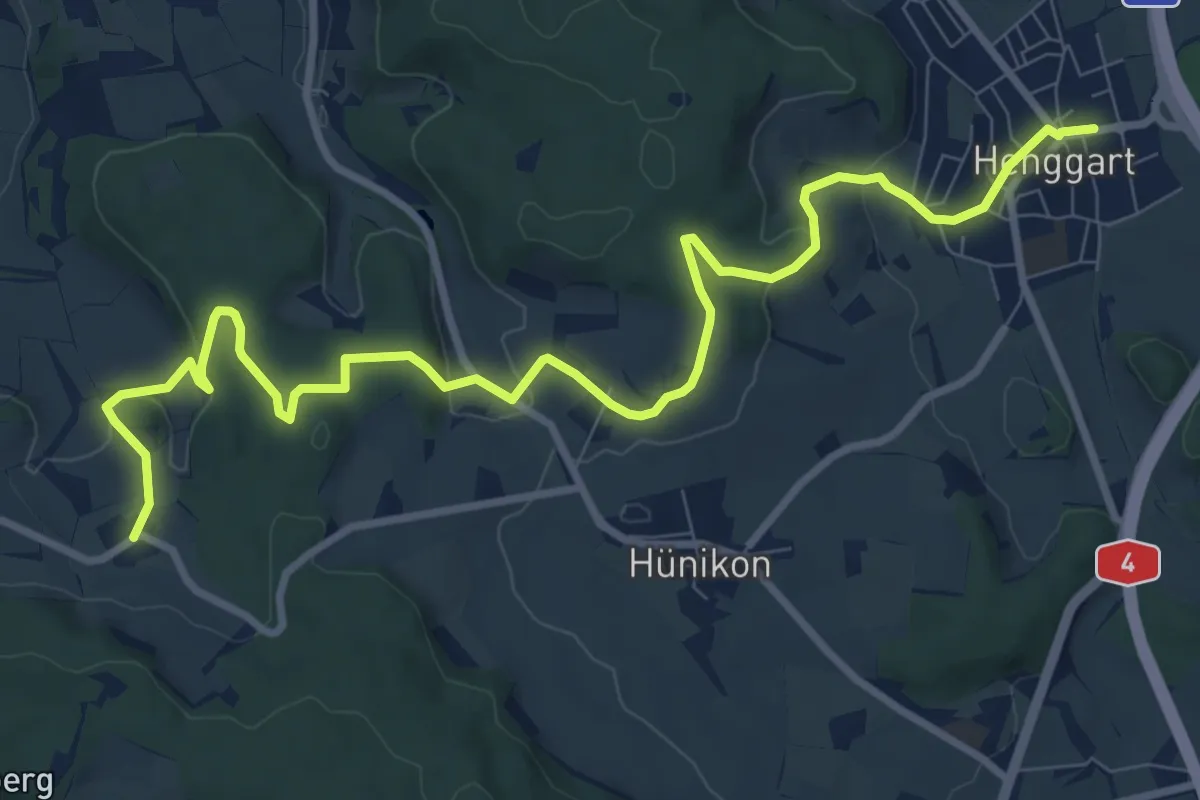
Medium · Trail
Desibach – Henggart
11.3 km · ↑ 303 m · 3 h 20 min · 14 km away
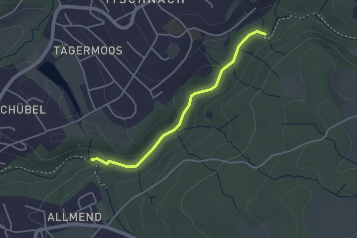
Easy · Trail
Küsnacht Dorfbach – Johannisburg
2.8 km · ↑ 68 m · 48 min · 14 km away
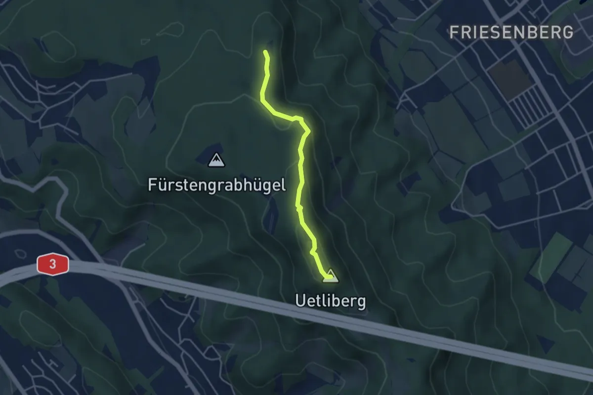
Medium · Summit
Hohenstein – Uetliberg Uto Kulm
3.1 km · ↑ 163 m · 1 h 5 min · 14 km away
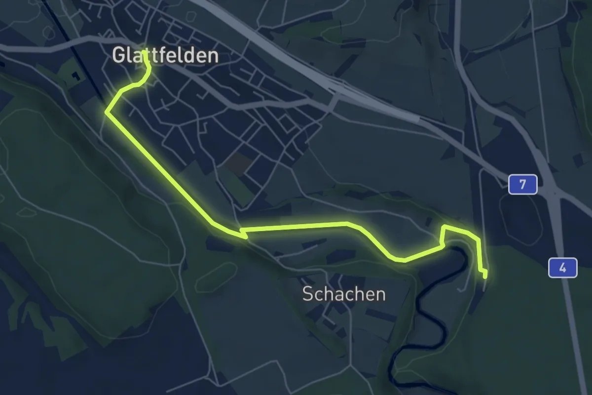
Easy · Trail
Glattfelden – Station Glattfelden
6.5 km · ↑ 126 m · 1 h 49 min · 14 km away
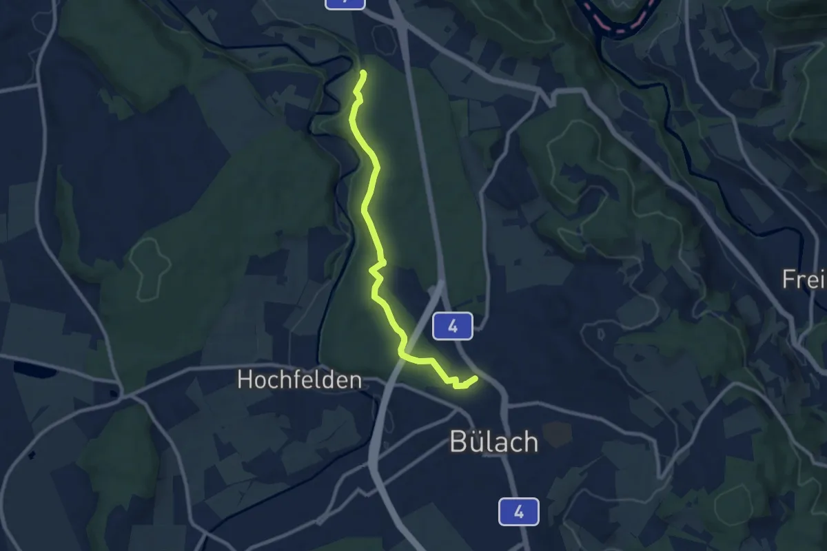
Easy · Trail
Bülach – Station Glattfelden
8.0 km · ↑ 158 m · 2 h 14 min · 14 km away
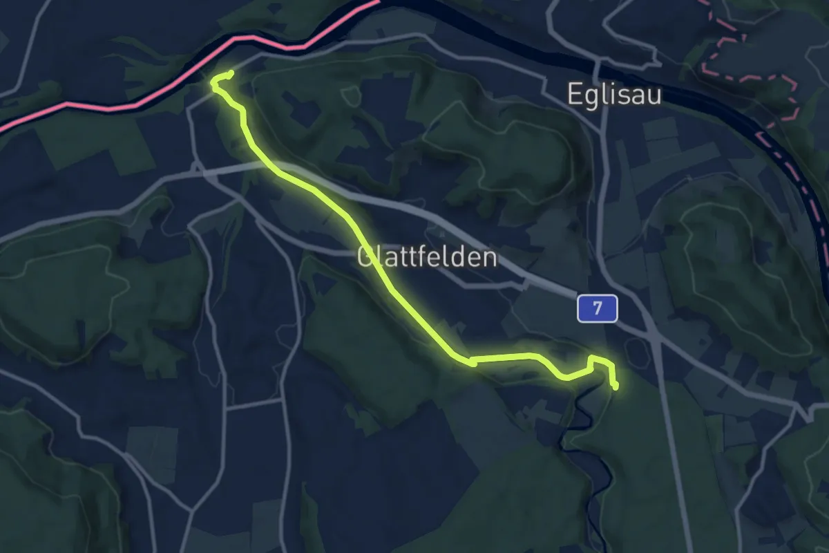
Medium · Trail
Rheinsfelden – Station Glattfelden
11.3 km · ↑ 147 m · 3 h · 14 km away
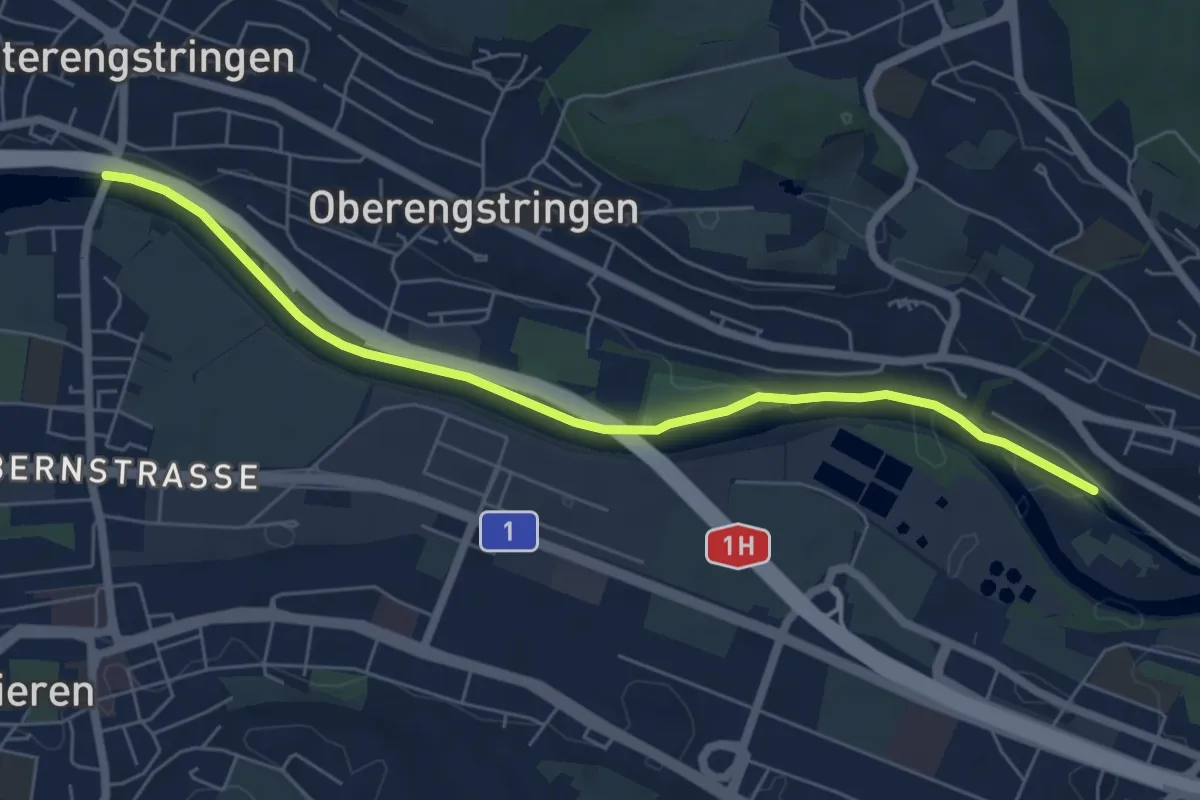
Easy · Pilgrim path
Hugenotten- und Waldenserweg
3.2 km · ↑ 13 m · 49 min · 14 km away
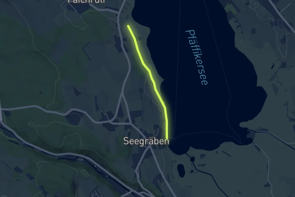
Easy · Trail
Talhof – Seegräben Landungssteg
3.4 km · ↑ 28 m · 52 min · 14 km away
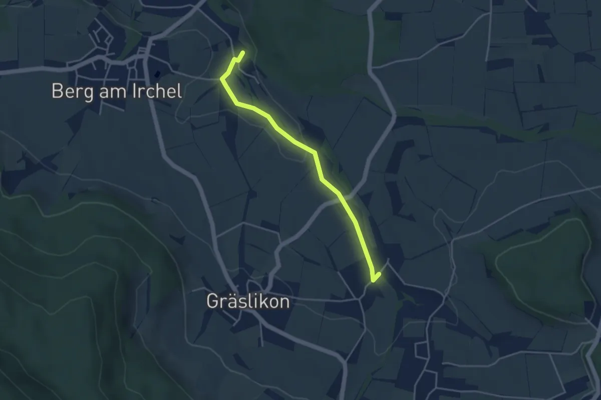
Easy · Trail
Eigental – Wiler
3.6 km · ↑ 41 m · 56 min · 14 km away
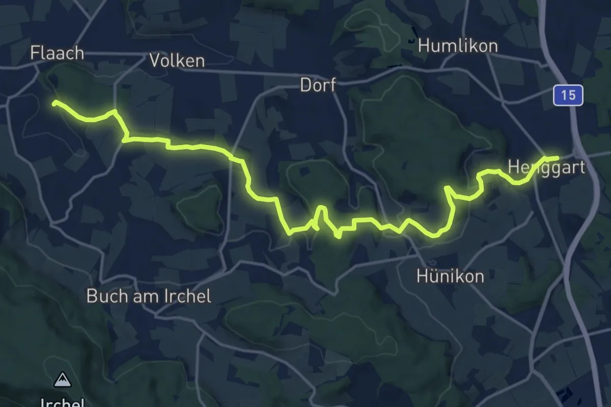
Demanding · Trail
Henggart – Eigental
18.3 km · ↑ 371 m · 5 h 7 min · 14 km away
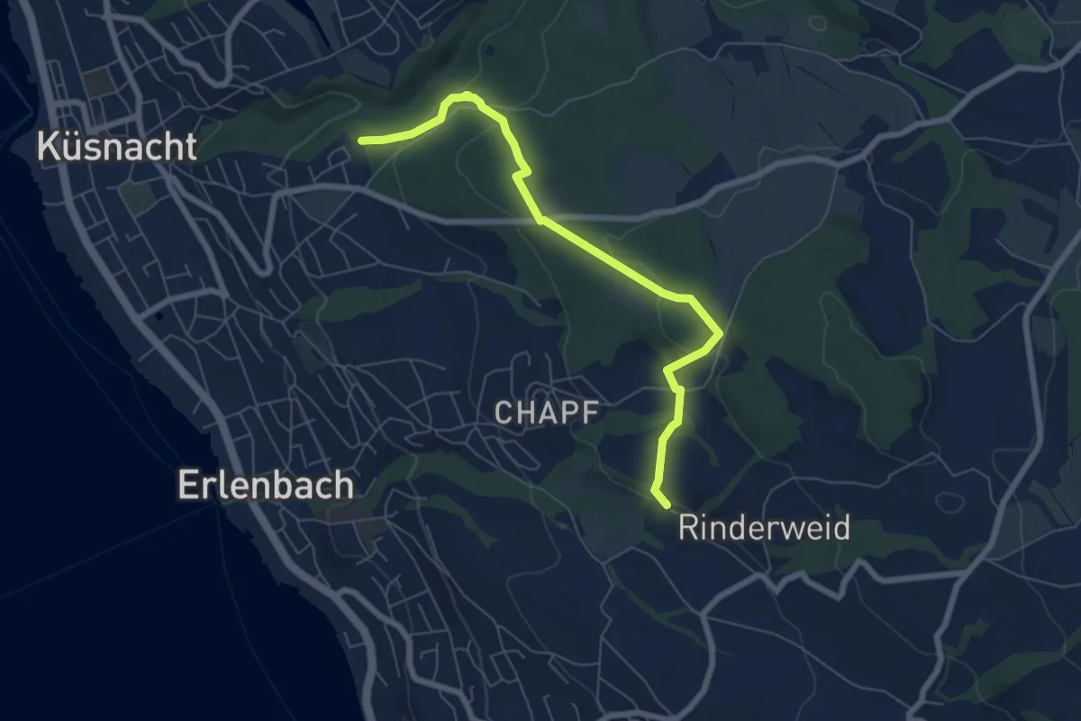
Easy · Trail
Küsnachter Tobel – Blüemlisalp
6.6 km · ↑ 227 m · 2 h 3 min · 14 km away
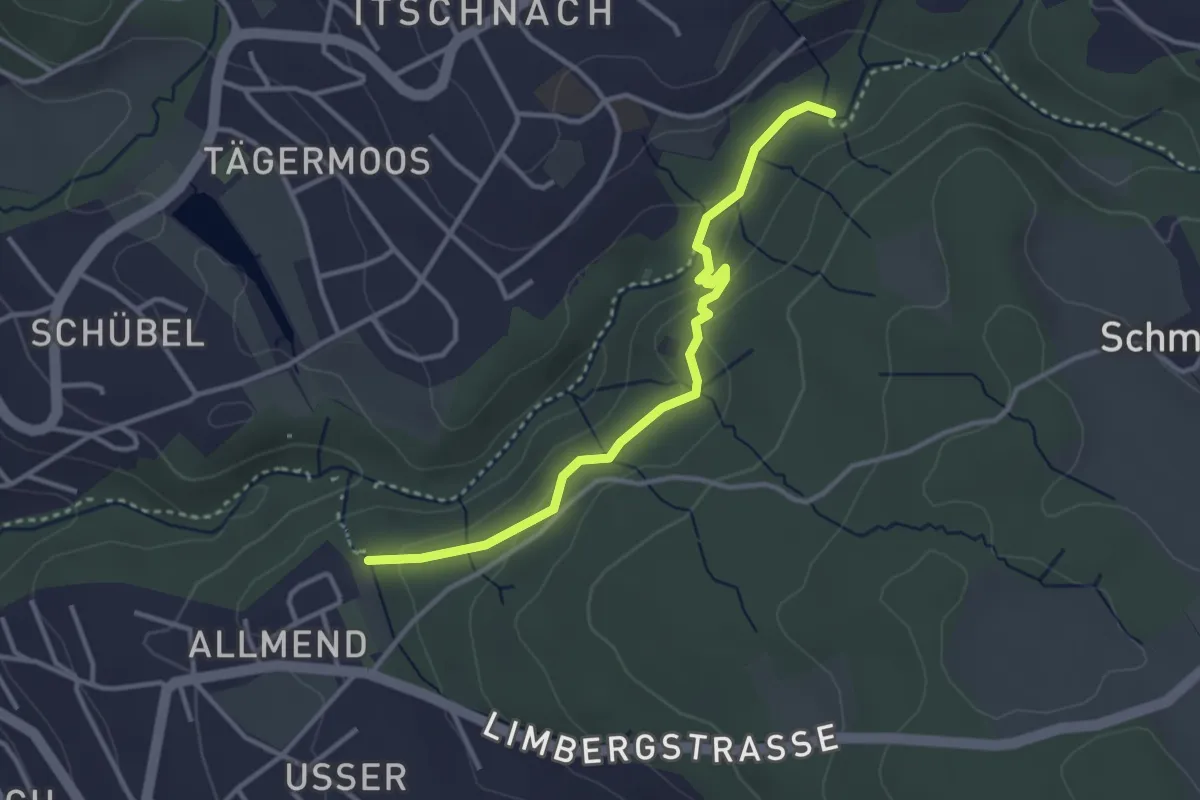
Easy · Trail
Küsnachter Tobel – Johannisburg
3.3 km · ↑ 108 m · 1 h · 14 km away
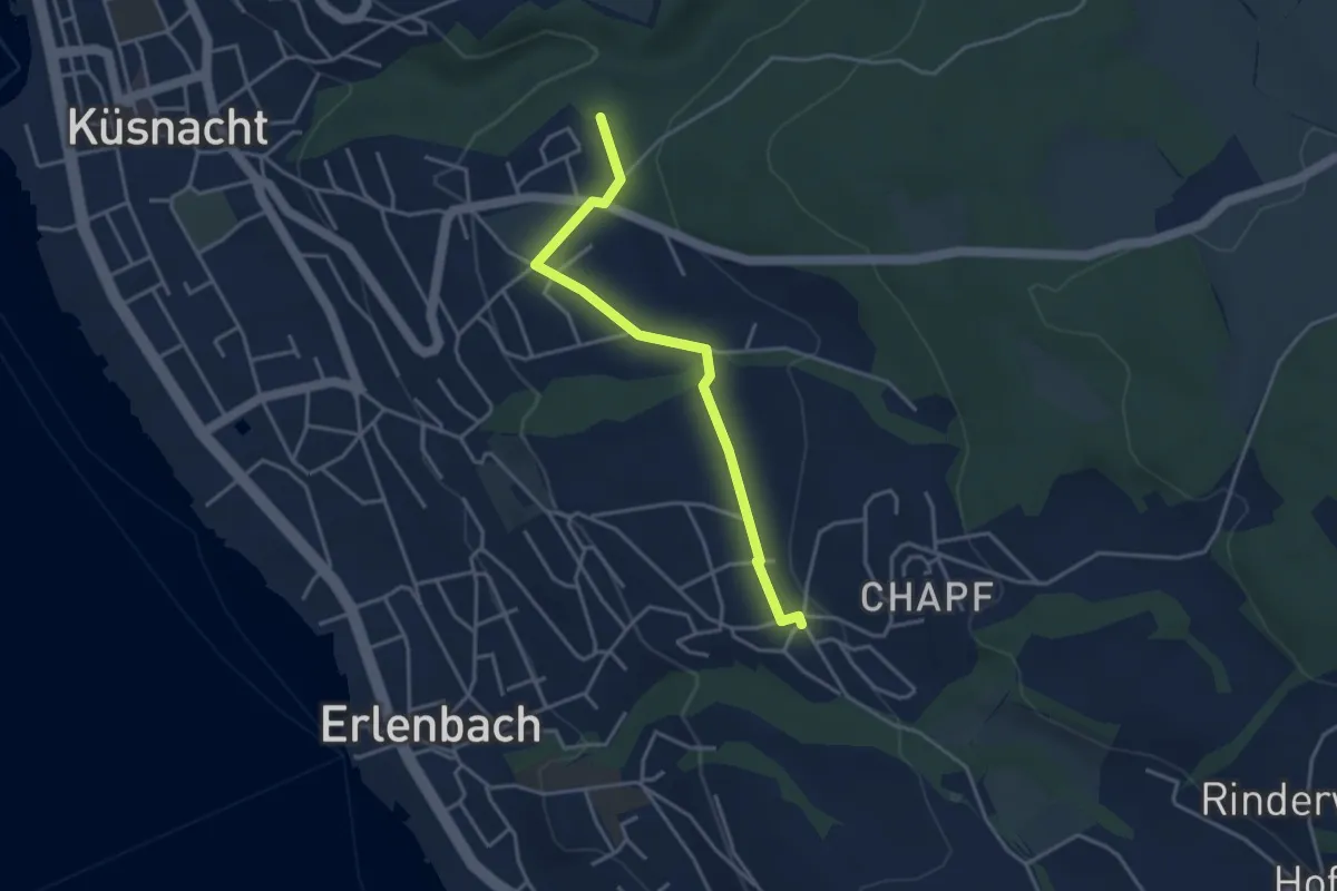
Easy · Trail
Küsnachter Tobel – Erlenbach Allmend
3.6 km · ↑ 47 m · 58 min · 14 km away
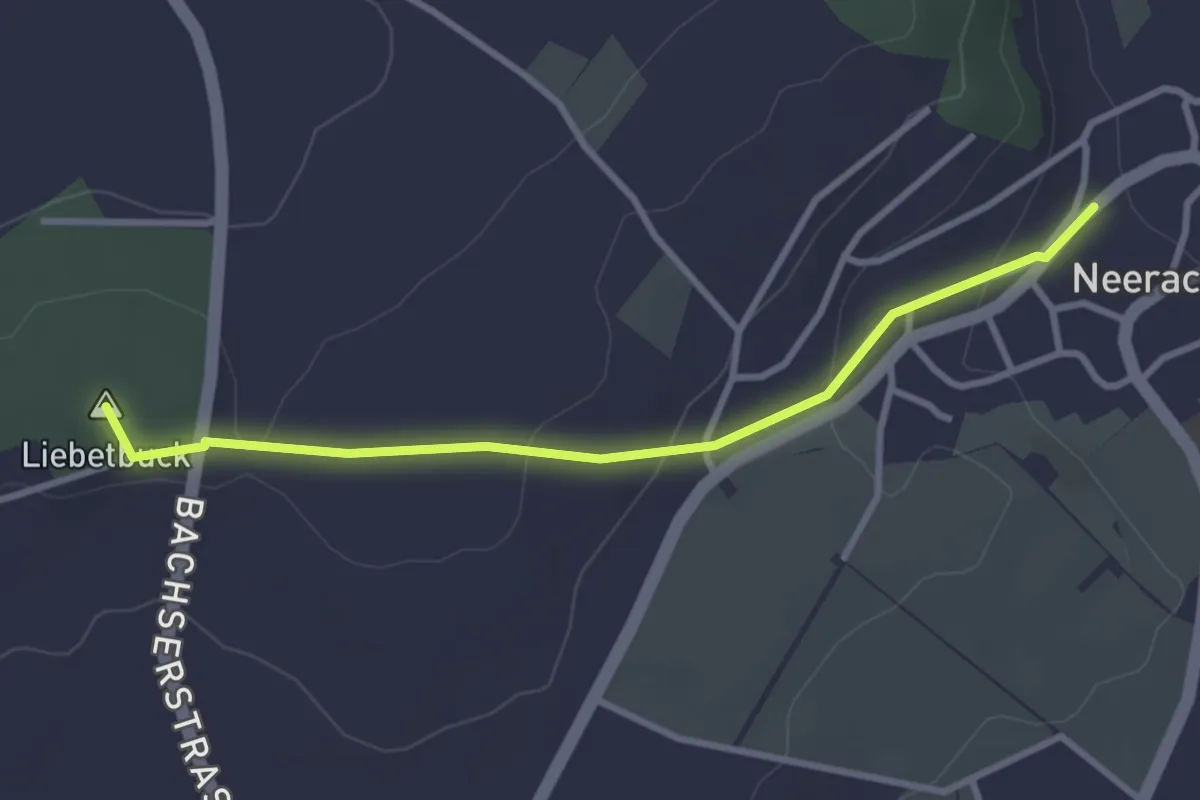
Easy · Summit
Neerach - Egg
3.1 km · ↑ 94 m · 56 min · 14 km away
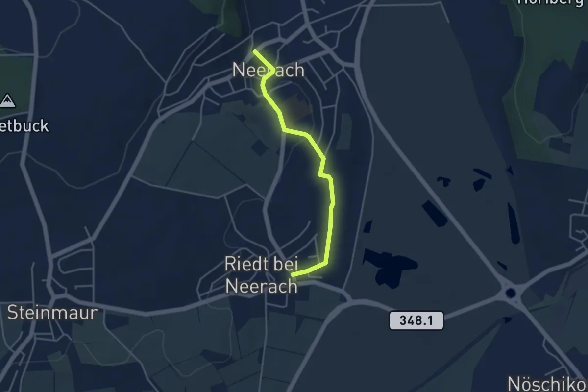
Easy · Trail
Riedt – Neerach
3.3 km · ↑ 35 m · 52 min · 14 km away
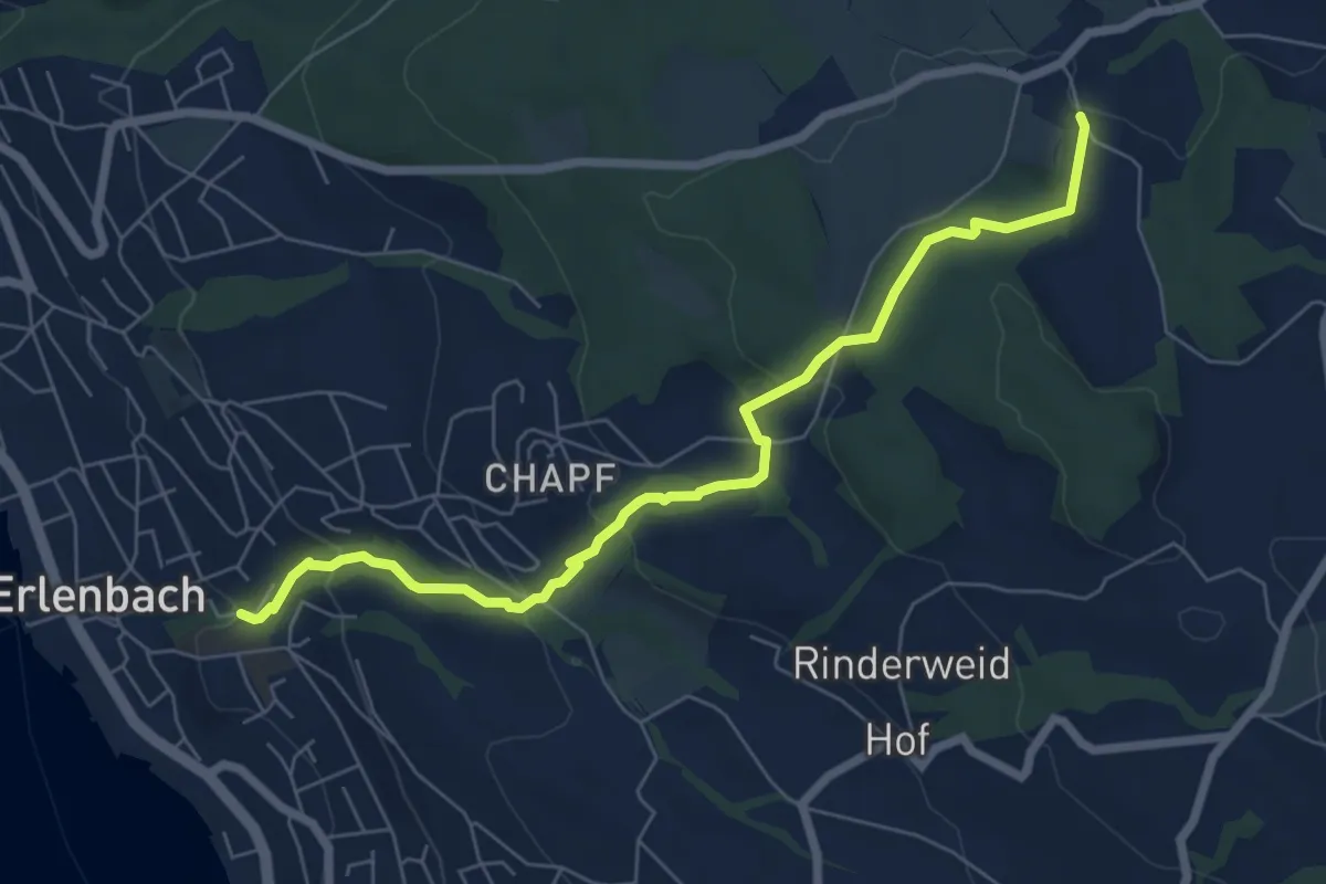
Easy · Trail
Limberg - Erlenbach Dorfbach
7.0 km · ↑ 273 m · 2 h 15 min · 14 km away
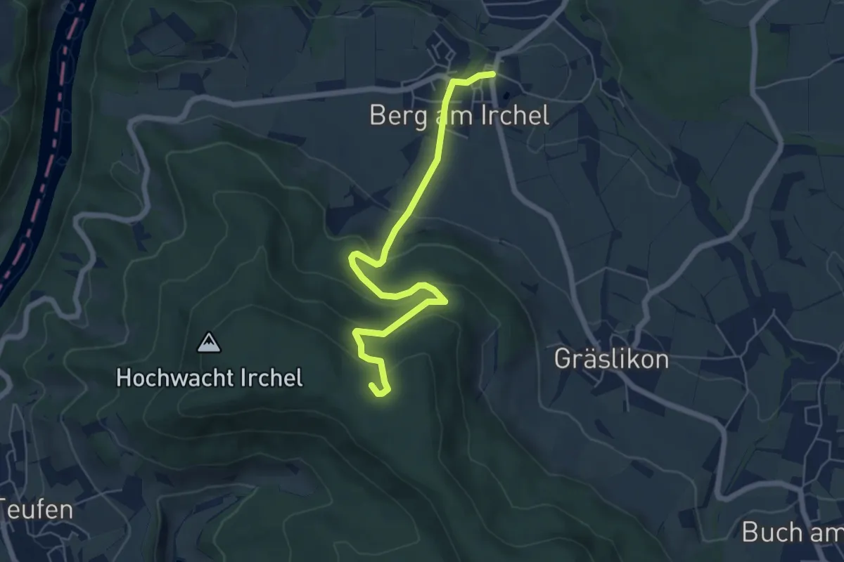
Easy · Trail
Hebelstein - Berg am Irchel
5.9 km · ↑ 267 m · 1 h 58 min · 14 km away
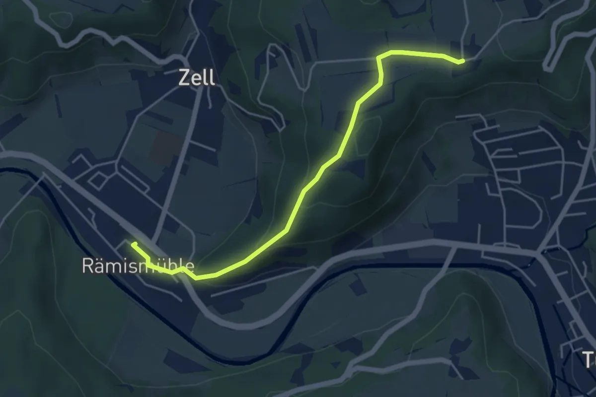
Easy · Trail
Lettenberg – Stn. Rämismühle-Zell
4.2 km · ↑ 191 m · 1 h 25 min · 14 km away
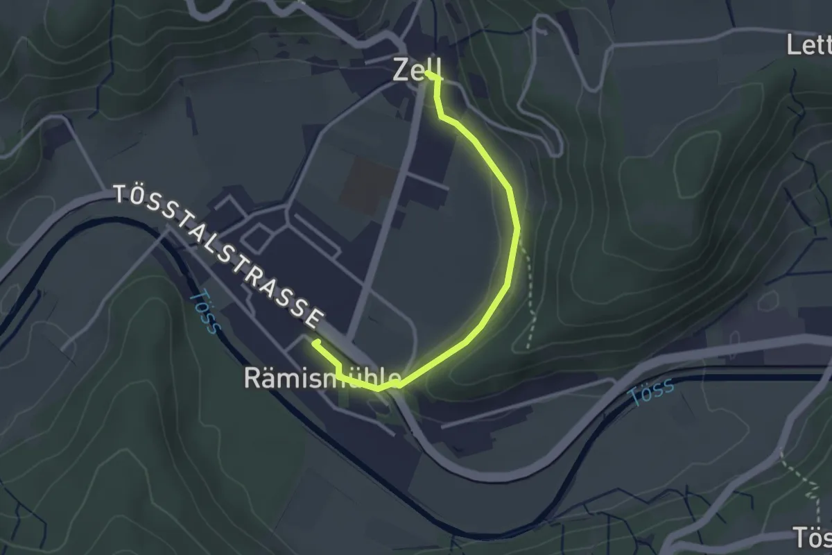
Easy · Trail
Zell – Stn. Rämismühle-Zell
2.8 km · ↑ 33 m · 43 min · 14 km away
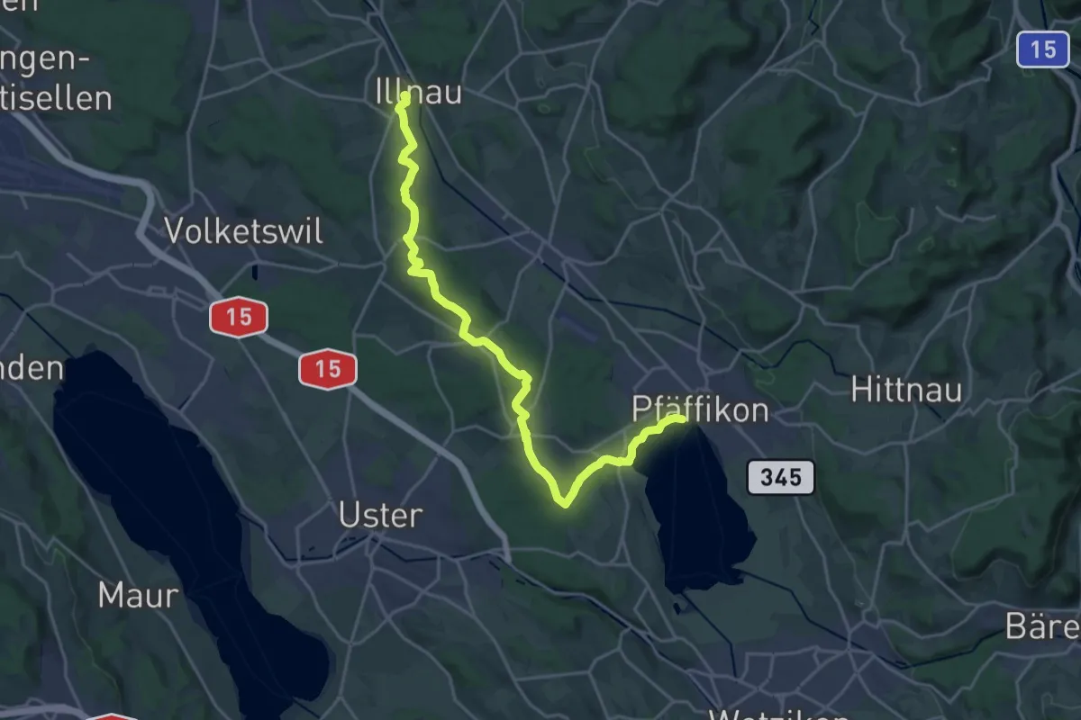
Demanding · Trail
Via Natura
21.9 km · ↑ 286 m · 5 h 48 min · 14 km away
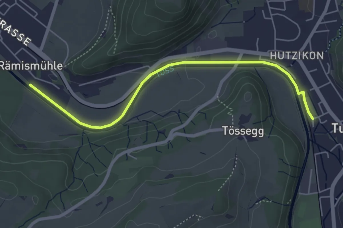
Easy · Trail
Rämismühle – Turbenthal
4.7 km · ↑ 24 m · 1 h 10 min · 14 km away
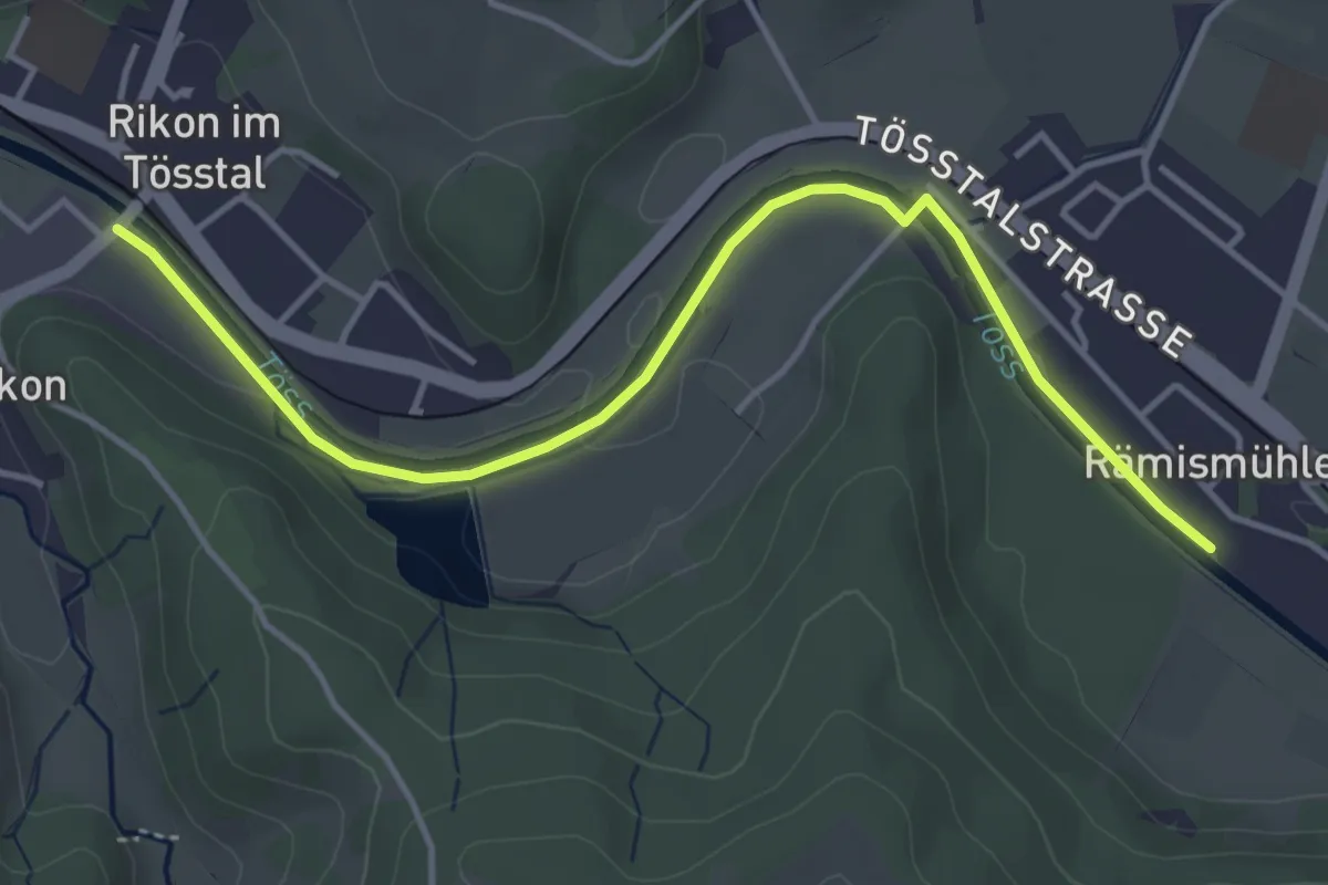
Easy · Trail
Rikon Brücke – Rämismühle
4.5 km · ↑ 27 m · 1 h 7 min · 14 km away
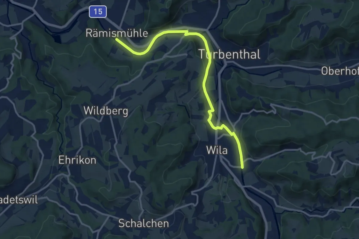
Medium · Trail
Rämismühle – Wila
10.4 km · ↑ 115 m · 2 h 43 min · 14 km away
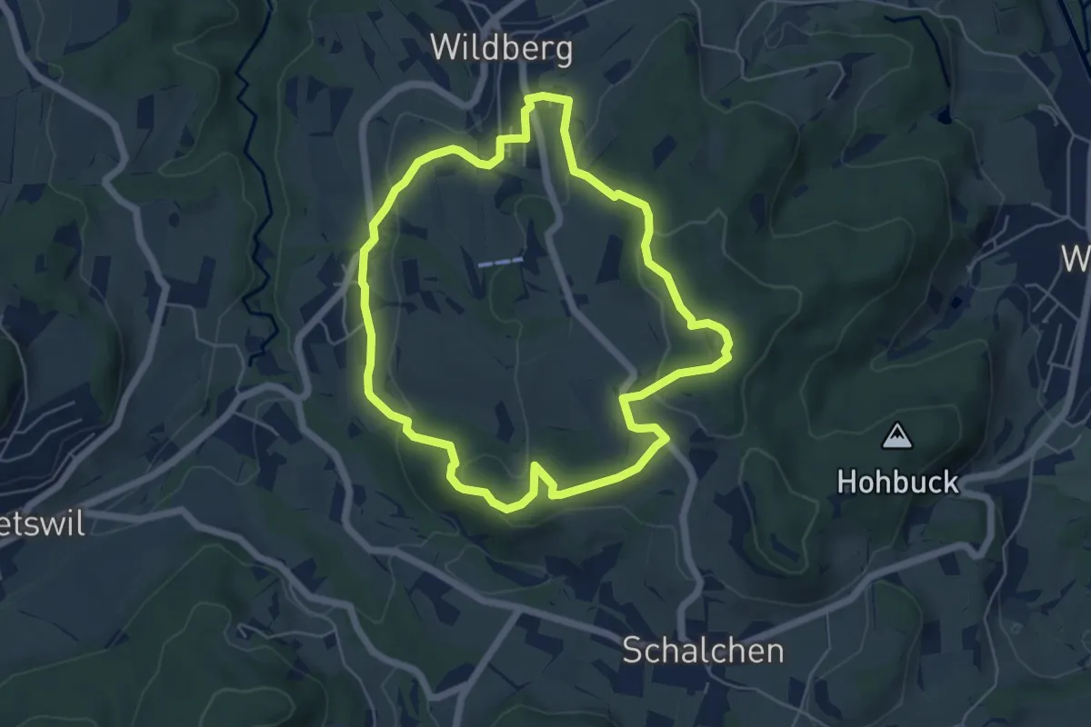
Easy · Trail
Erlebnisweg Freddy Fratzel
5.3 km · ↑ 133 m · 1 h 37 min · 14 km away
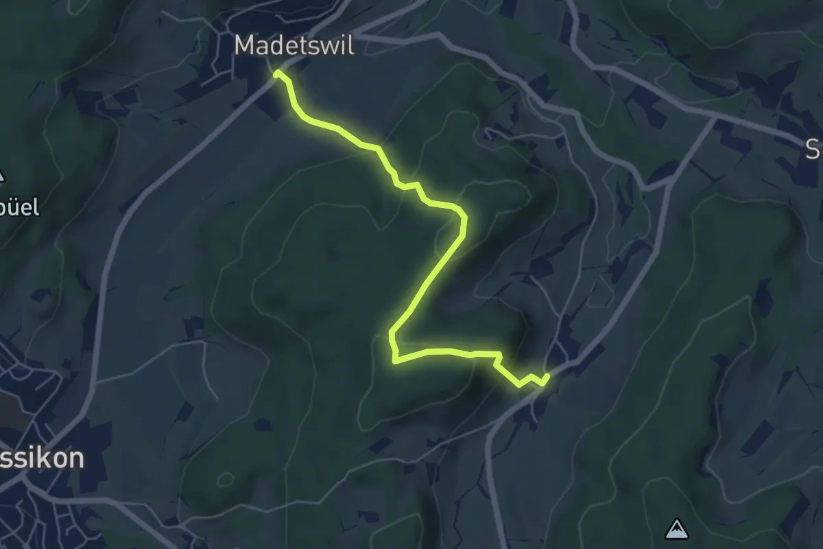
Easy · Trail
Madetswil – Gündisau
5.5 km · ↑ 289 m · 1 h 55 min · 14 km away
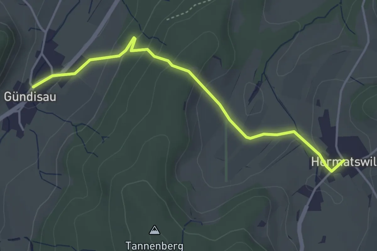
Easy · Trail
Gündisau – Hermatswil
3.9 km · ↑ 172 m · 1 h 17 min · 14 km away