Trails near Brig
348 hikes starting within 15 km, nearest first.
Nearest first, page 2 of 8
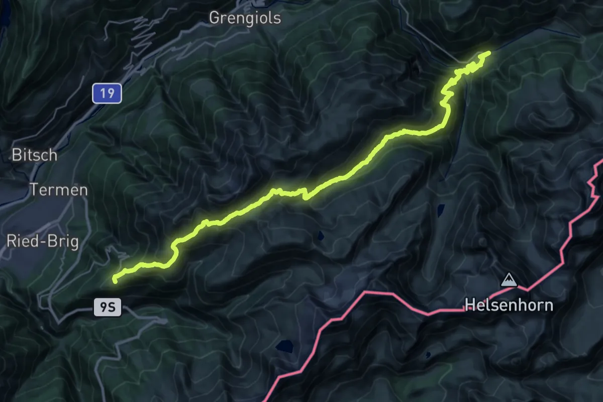
Demanding · Trail
Via Alpina Blue D4
17.4 km · ↑ 1051 m · 6 h 51 min · 4 km away
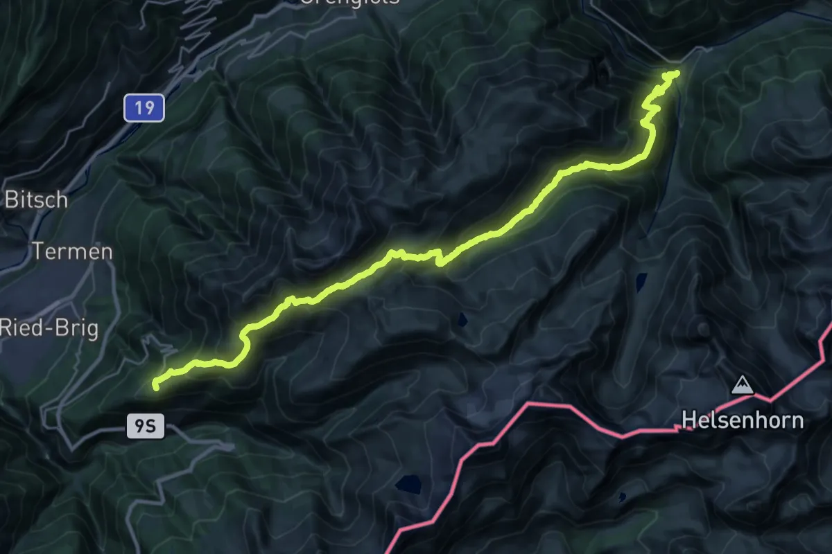
Demanding · Trail
Alpenpässe-Weg
15.6 km · ↑ 932 m · 6 h 11 min · 4 km away
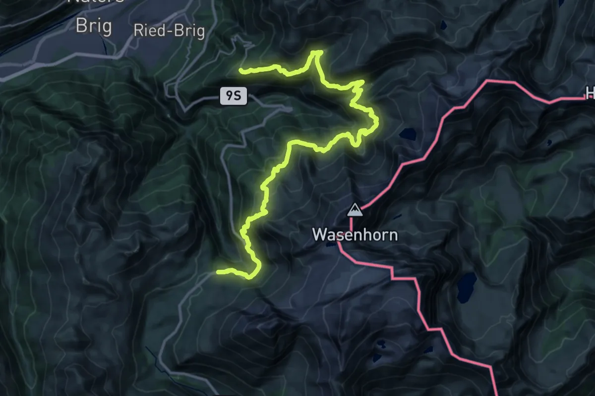
Demanding · Trail
Simplon-Höhenweg
17.9 km · ↑ 1394 m · 7 h 27 min · 4 km away
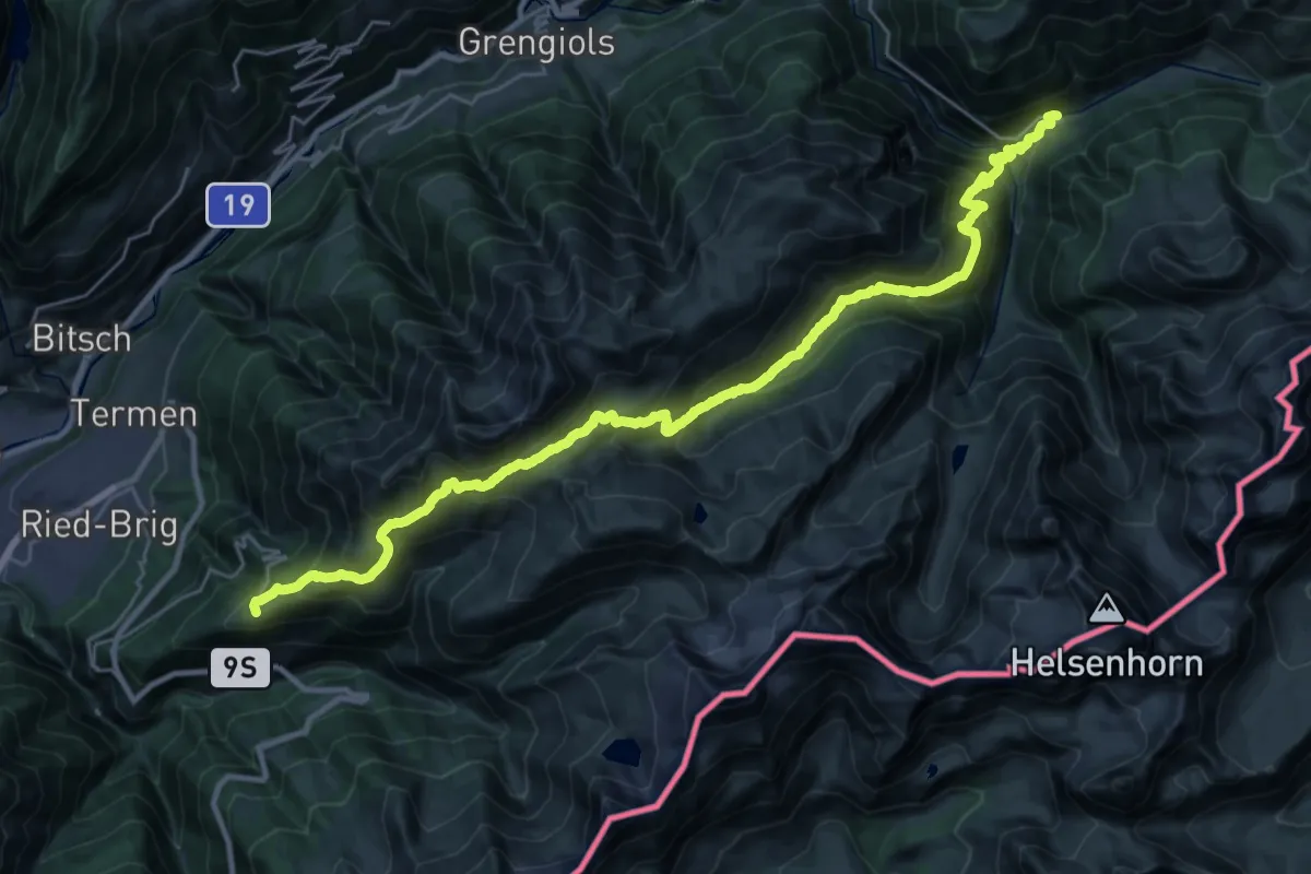
Demanding · Trail
16-Alpenpässe-Weg
16.7 km · ↑ 1033 m · 6 h 38 min · 4 km away
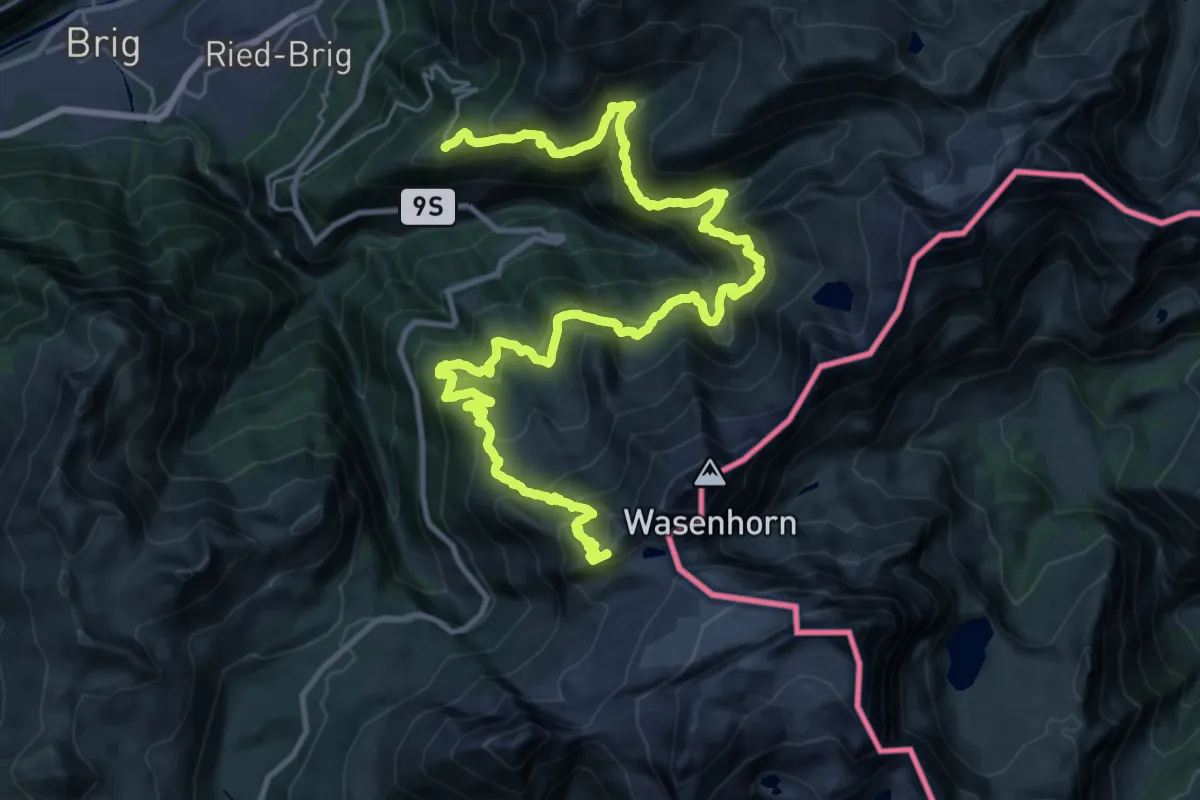
Demanding · Summit
Via Alpina Blue D5
38.7 km · ↑ 3226 m · 16 h 7 min · 4 km away
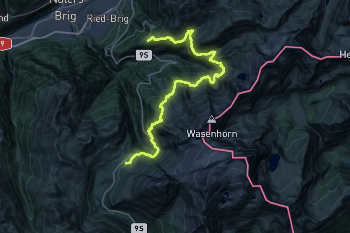
Demanding · Trail
17-Alpenpässe-Weg
18.4 km · ↑ 1407 m · 7 h 35 min · 4 km away
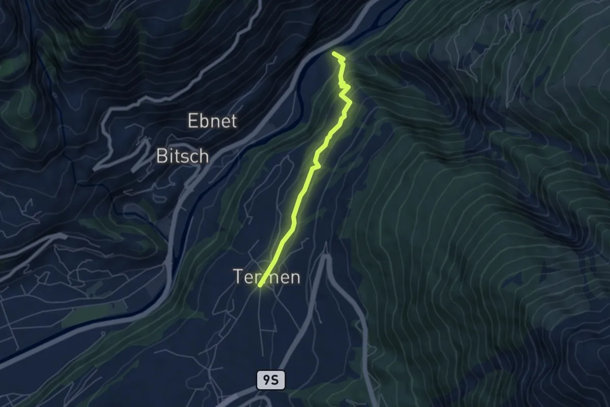
Easy · Trail
Termen - Tunetschgrabe
4.8 km · ↑ 276 m · 1 h 43 min · 5 km away
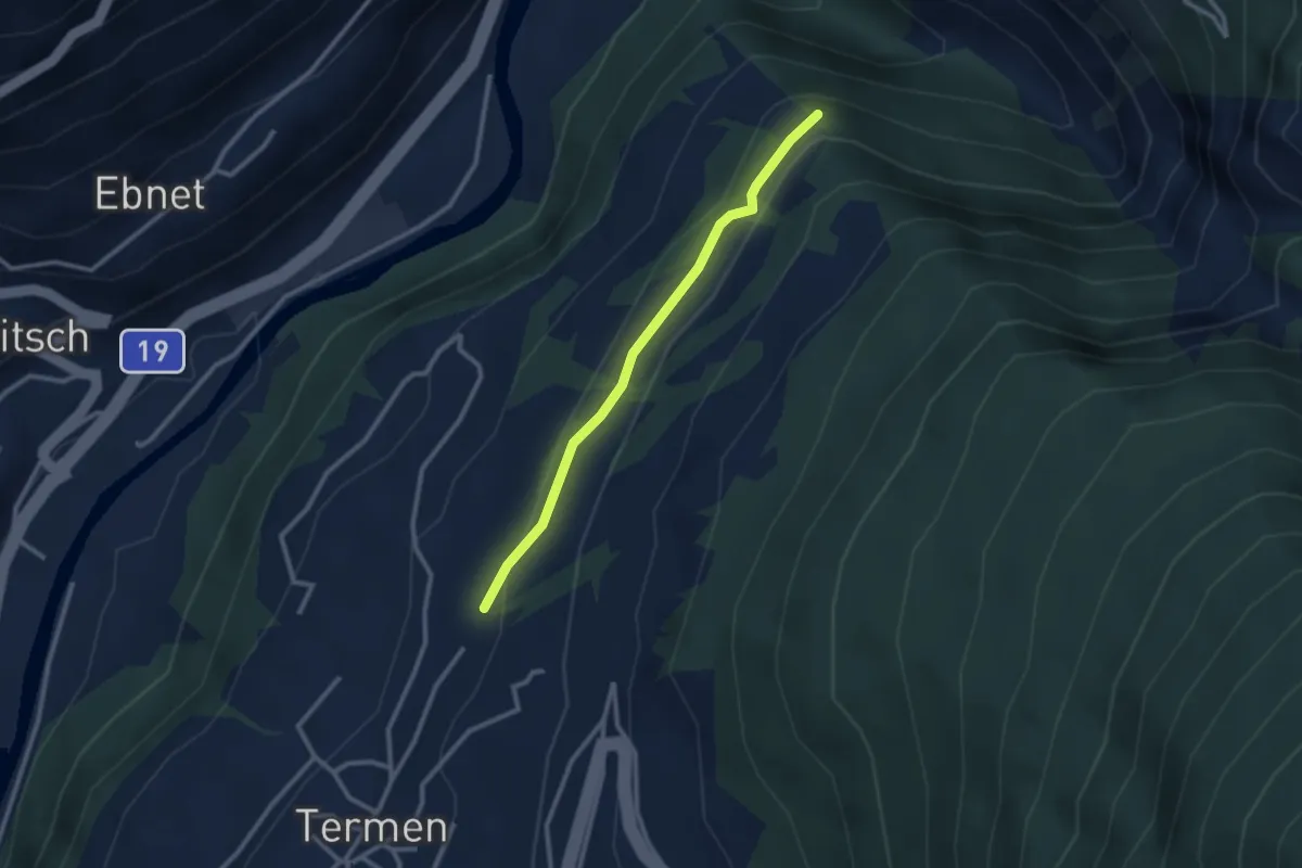
Easy · Trail
Tunetschweg
2.5 km · ↑ 89 m · 47 min · 5 km away
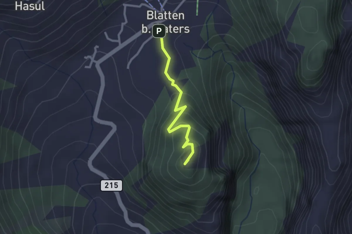
Easy · Summit
Blatten - Blindbärgji
2.1 km · ↑ 112 m · 44 min · 5 km away
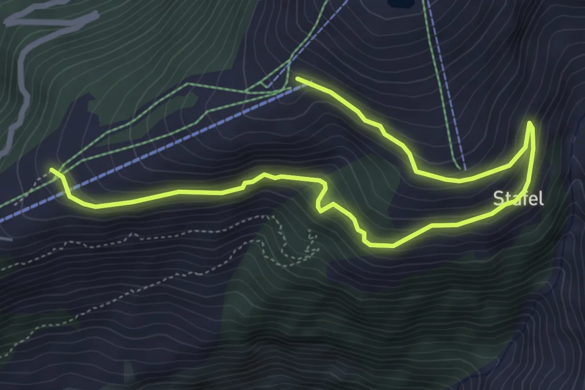
Medium · Trail
Rosswald - Stafel - Fleschboden
6.7 km · ↑ 362 m · 2 h 22 min · 5 km away
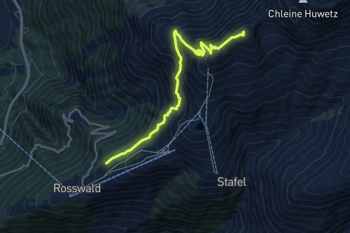
Demanding · Summit
Rosswald - Füllhorn
8.2 km · ↑ 871 m · 3 h 50 min · 5 km away
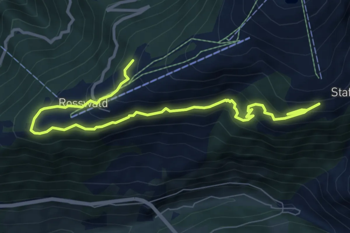
Medium · Trail
Rosswald - Stafel
8.4 km · ↑ 643 m · 3 h 23 min · 5 km away
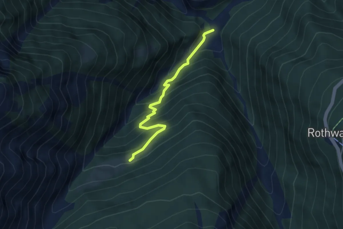
Medium · Trail
Grund - Unners Nesseltal
3.9 km · ↑ 401 m · 1 h 47 min · 5 km away
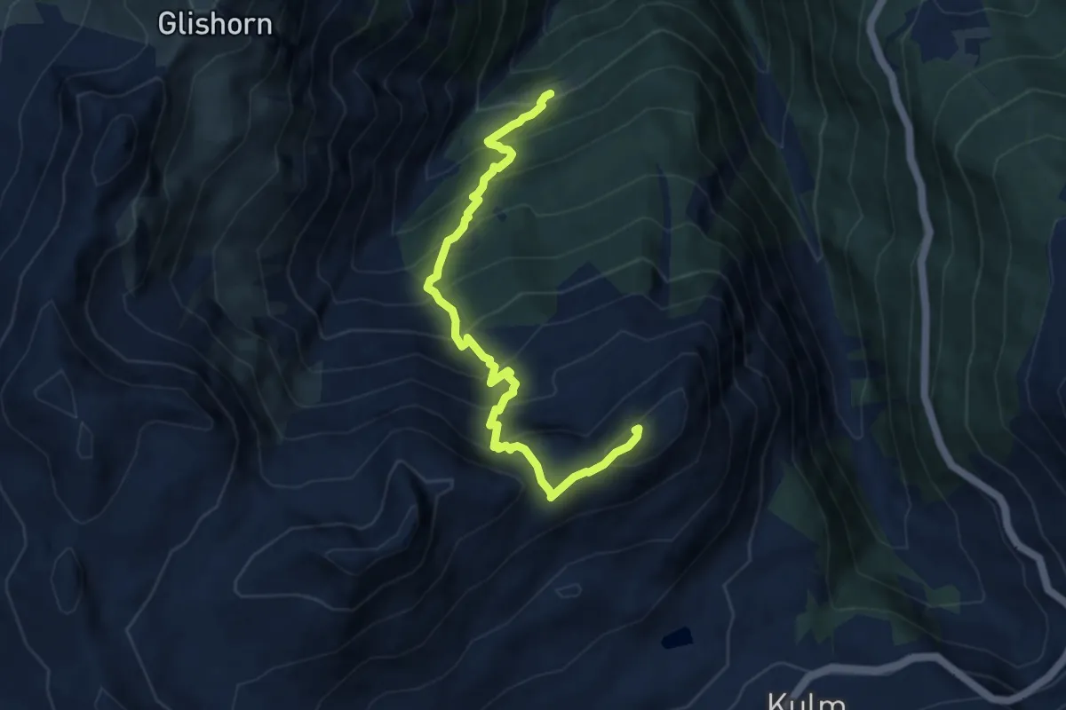
Demanding · Summit
Unners Nesseltal - Staldhorn
8.1 km · ↑ 998 m · 4 h 5 min · 5 km away
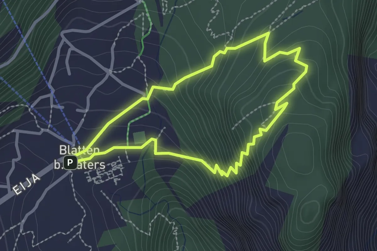
Easy · Summit
Blatten - Gibidum
2.3 km · ↑ 195 m · 1 h · 5 km away
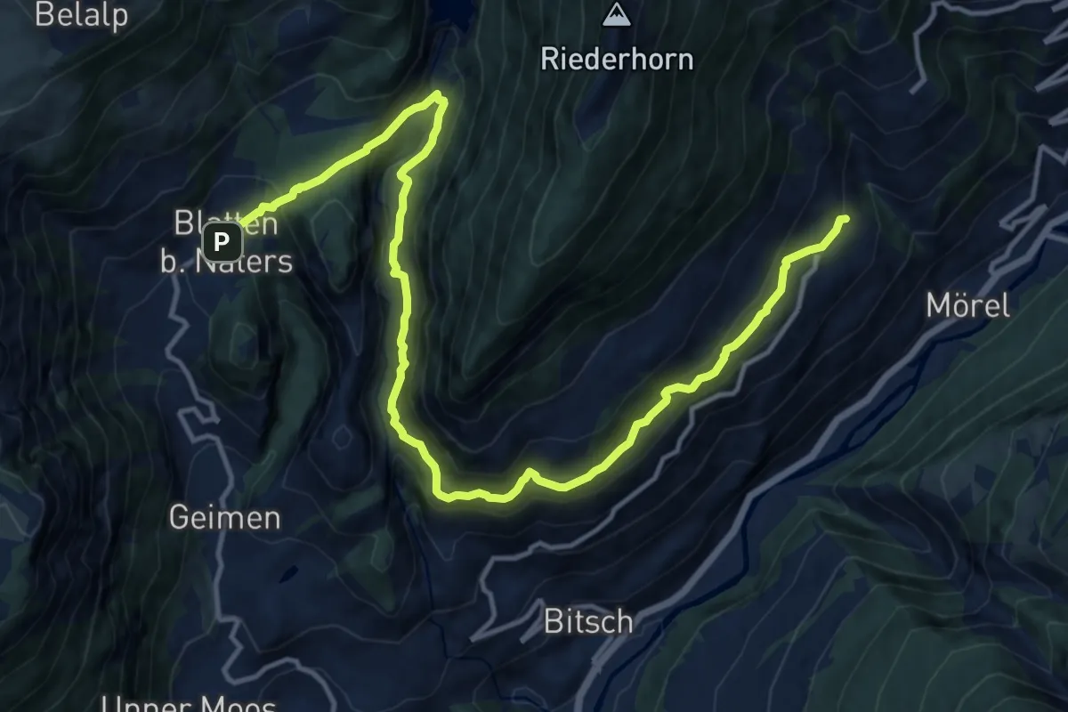
Demanding · Trail
Massaweg
16.3 km · ↑ 1193 m · 6 h 26 min · 5 km away
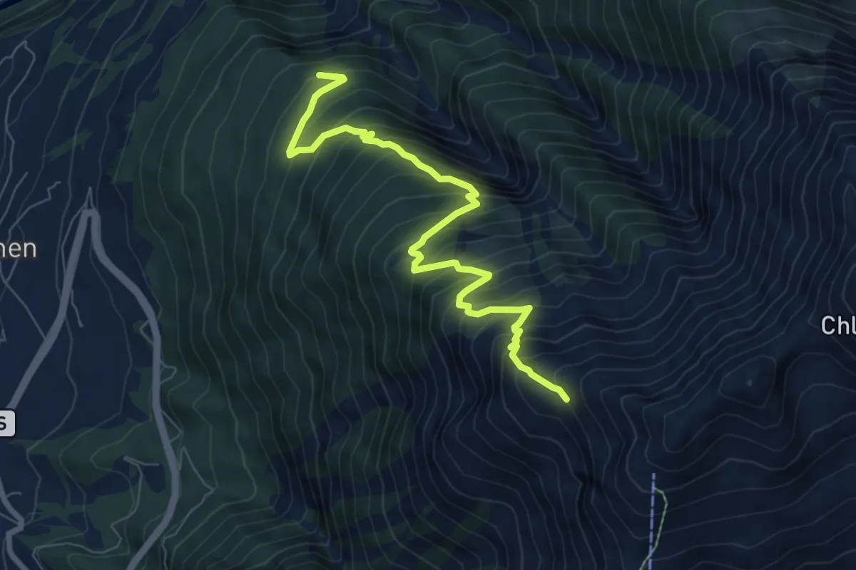
Demanding · Trail
Z'Garden - Fülhorn
8.1 km · ↑ 1014 m · 4 h 7 min · 5 km away
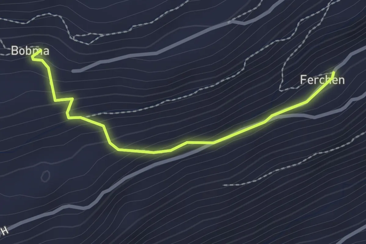
Easy · Trail
Färchu – Bobma
2.1 km · ↑ 141 m · 49 min · 5 km away
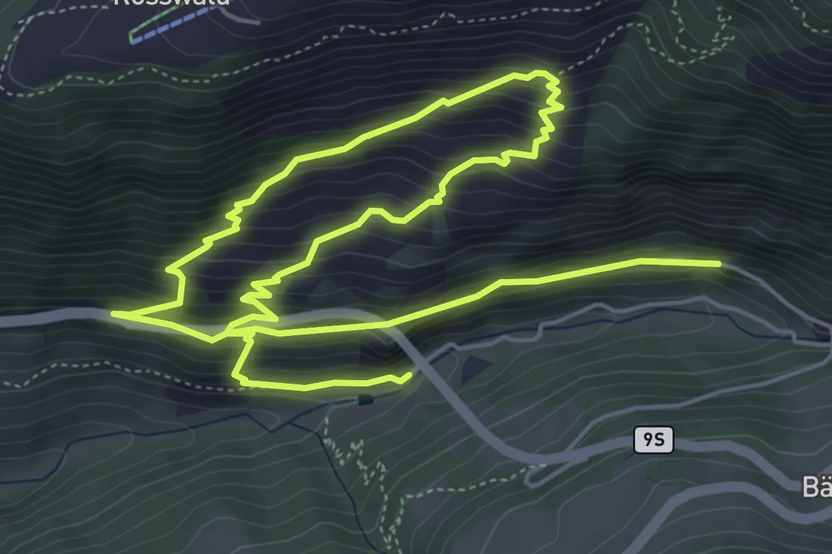
Demanding · Trail
Ganterbrücke - Undri Schmidmatte
9.7 km · ↑ 934 m · 4 h 19 min · 5 km away
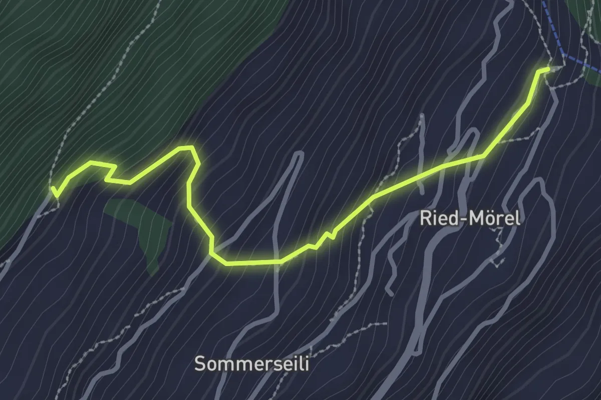
Medium · Trail
Luftbahnstation Ried-Mörel - Nieschbord
2.9 km · ↑ 339 m · 1 h 25 min · 5 km away
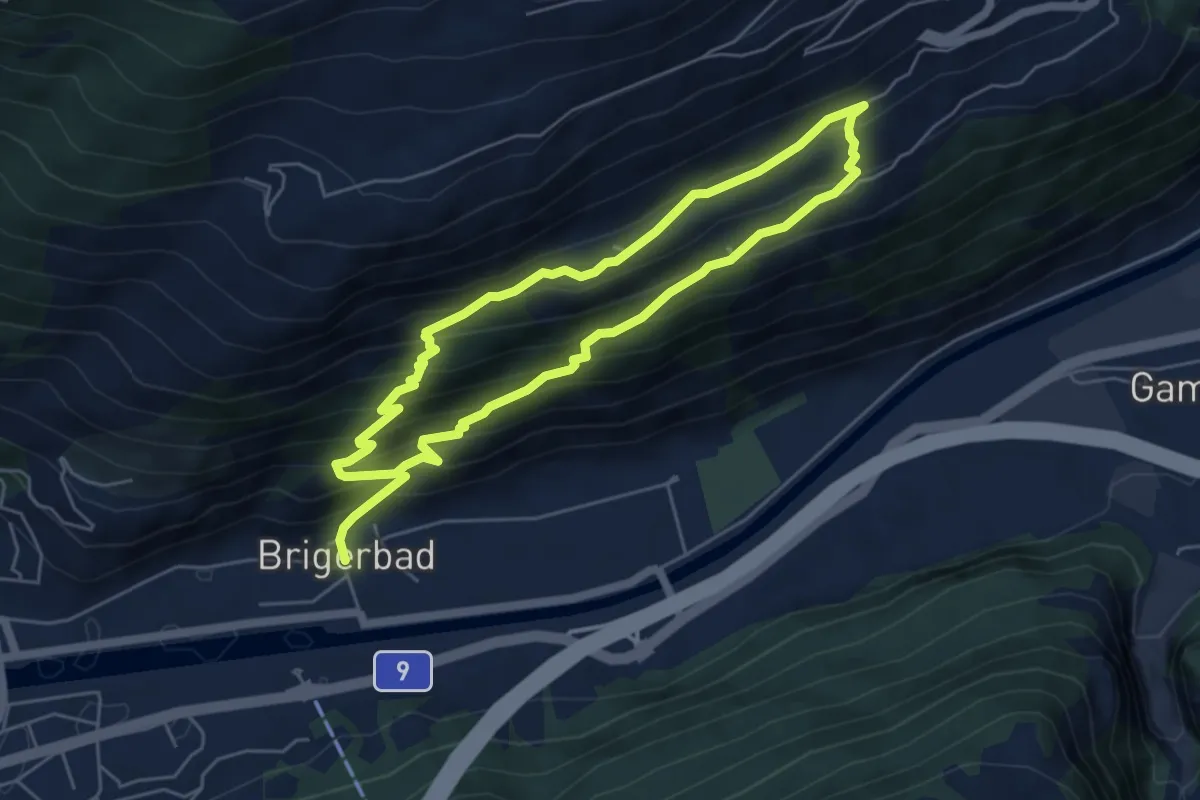
Demanding · Trail
Brigerbad - Mund
9.8 km · ↑ 863 m · 4 h 11 min · 5 km away
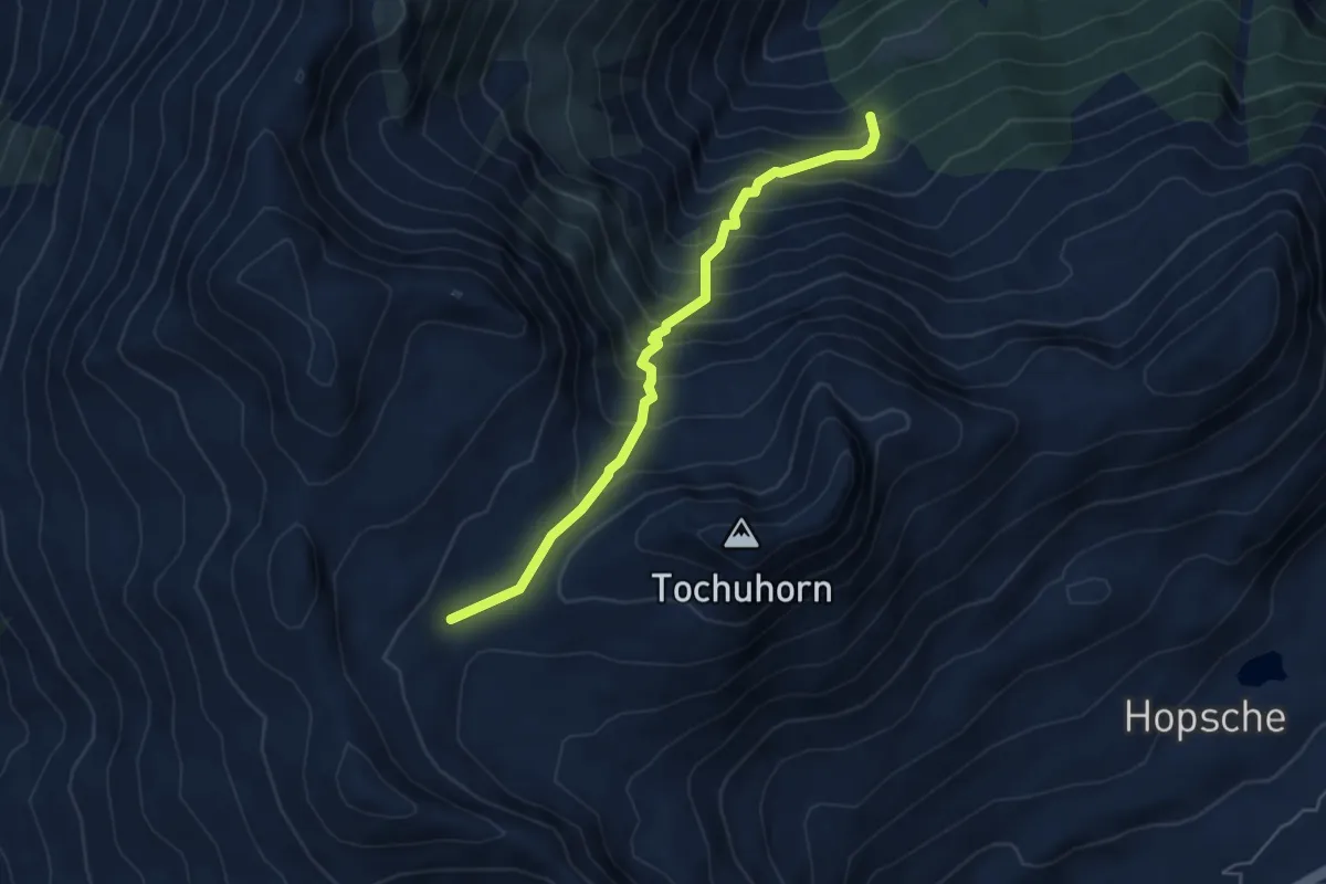
Demanding · Trail
Obers Nesseltal - Undre Rossusee
5.0 km · ↑ 611 m · 2 h 31 min · 5 km away
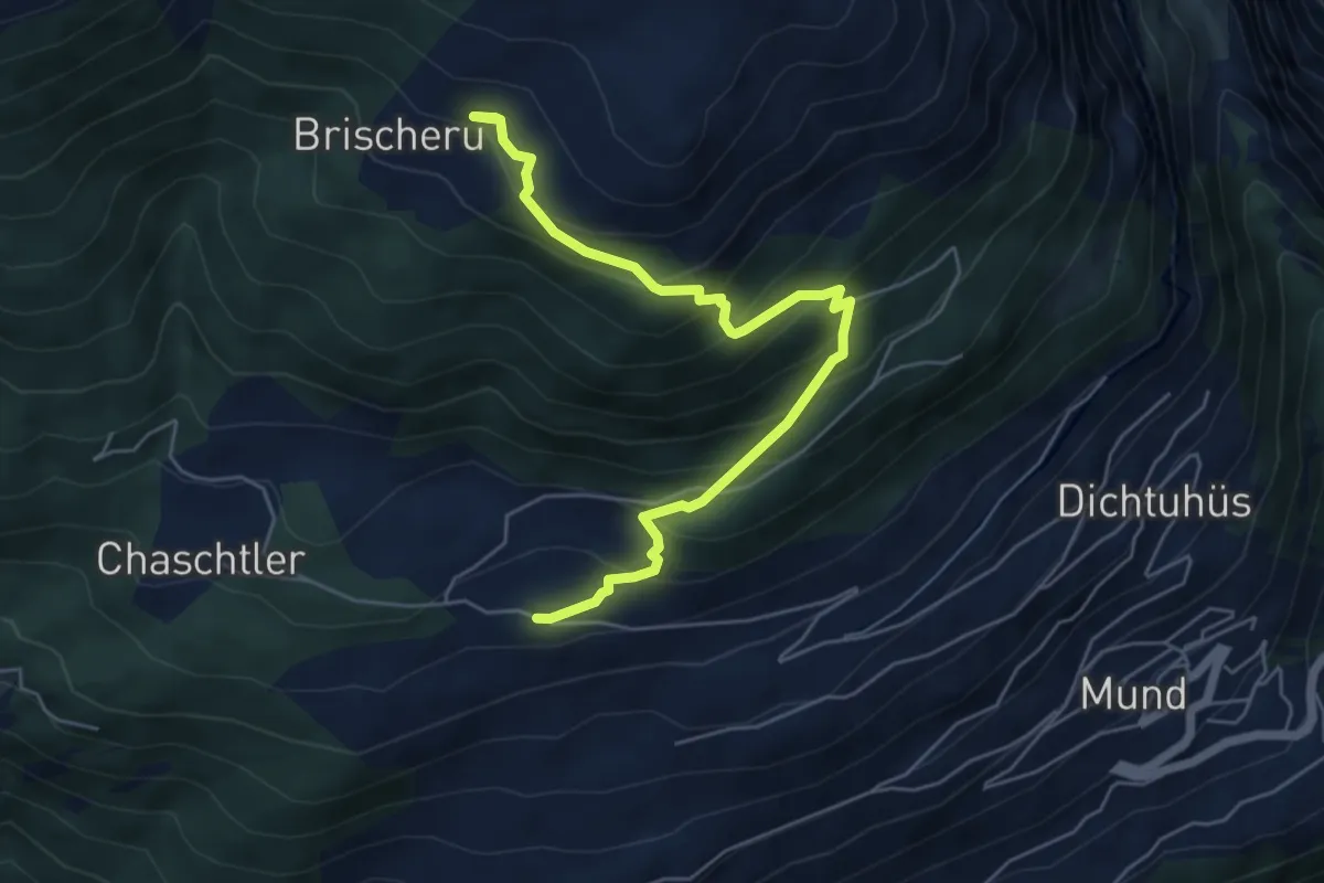
Medium · Trail
Meinimatte - Brischeru
5.9 km · ↑ 509 m · 2 h 30 min · 5 km away
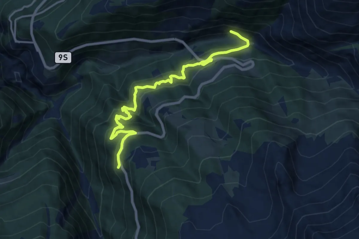
Demanding · Trail
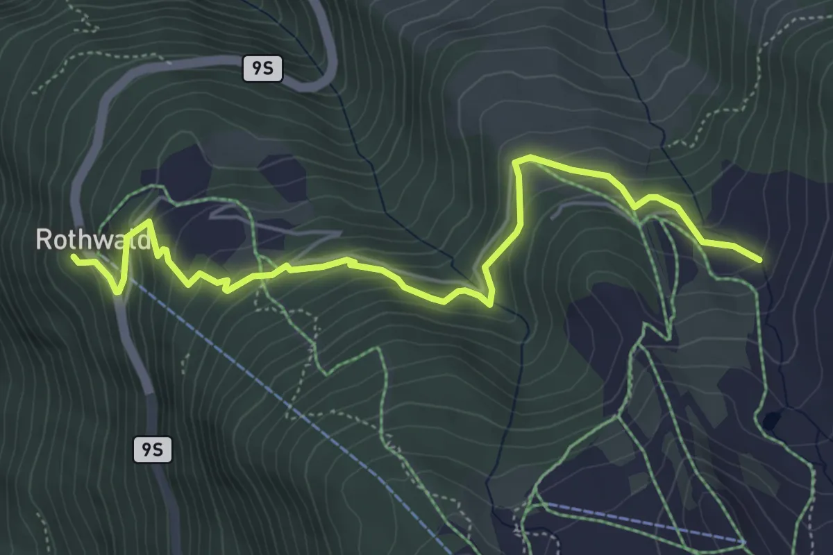
Rothwald - Ganterbrigga
11.4 km · ↑ 824 m · 4 h 28 min · 5 km away
Medium · Trail
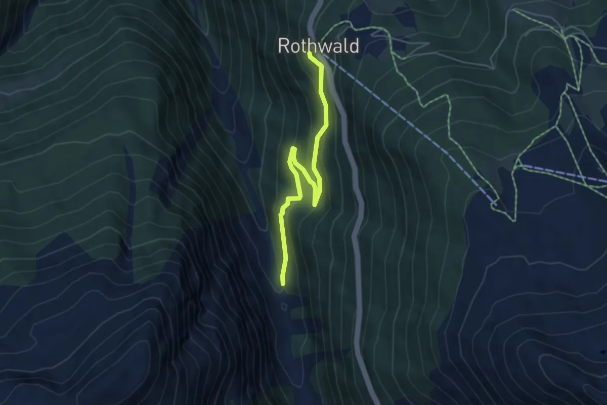
Rothwald - Wintrigmatte
5.7 km · ↑ 409 m · 2 h 14 min · 5 km away
Easy · Trail
Simplonpass - Rothwald
4.6 km · ↑ 283 m · 1 h 42 min · 5 km away
Easy · Trail
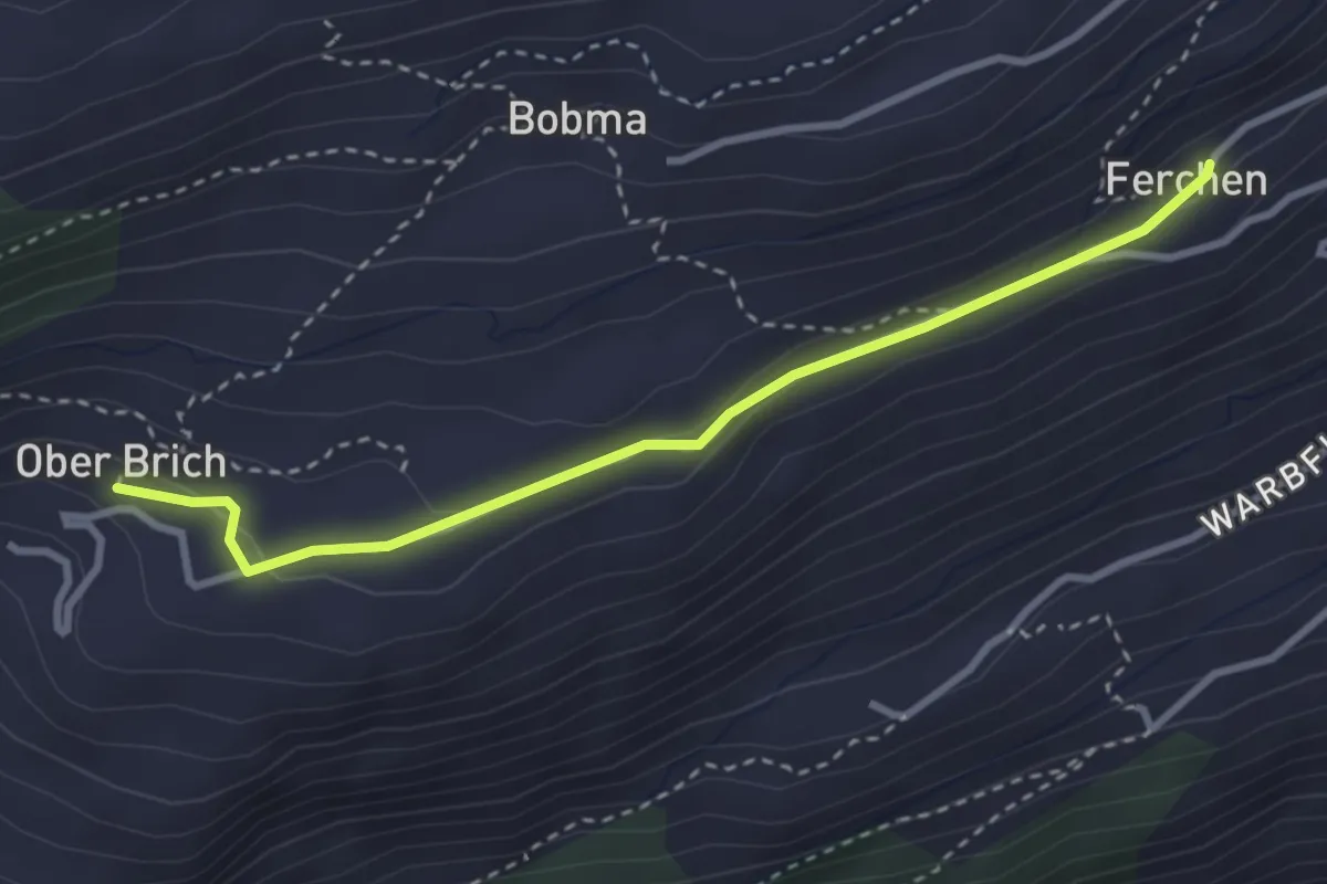
Färchu – Oberi Brich
3.2 km · ↑ 71 m · 54 min · 6 km away
Medium · Trail
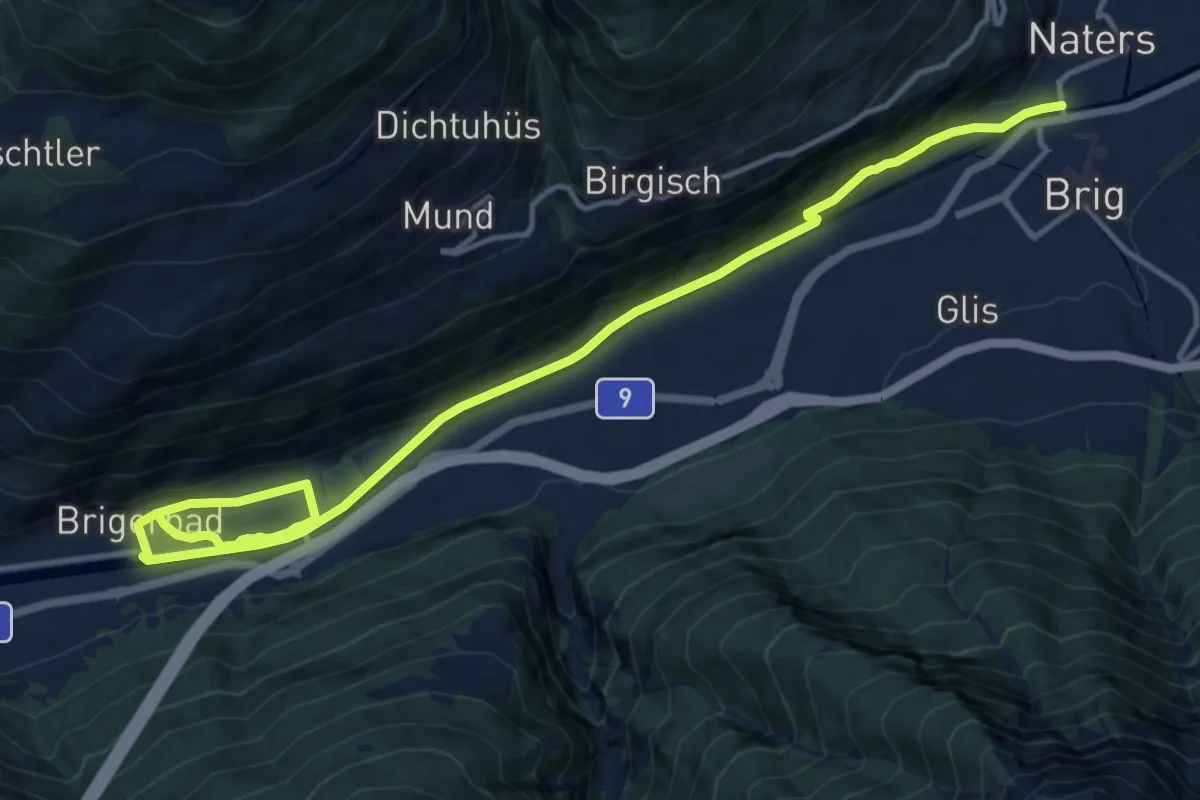
Brig - Brigerbad
17.0 km · ↑ 266 m · 4 h 35 min · 6 km away
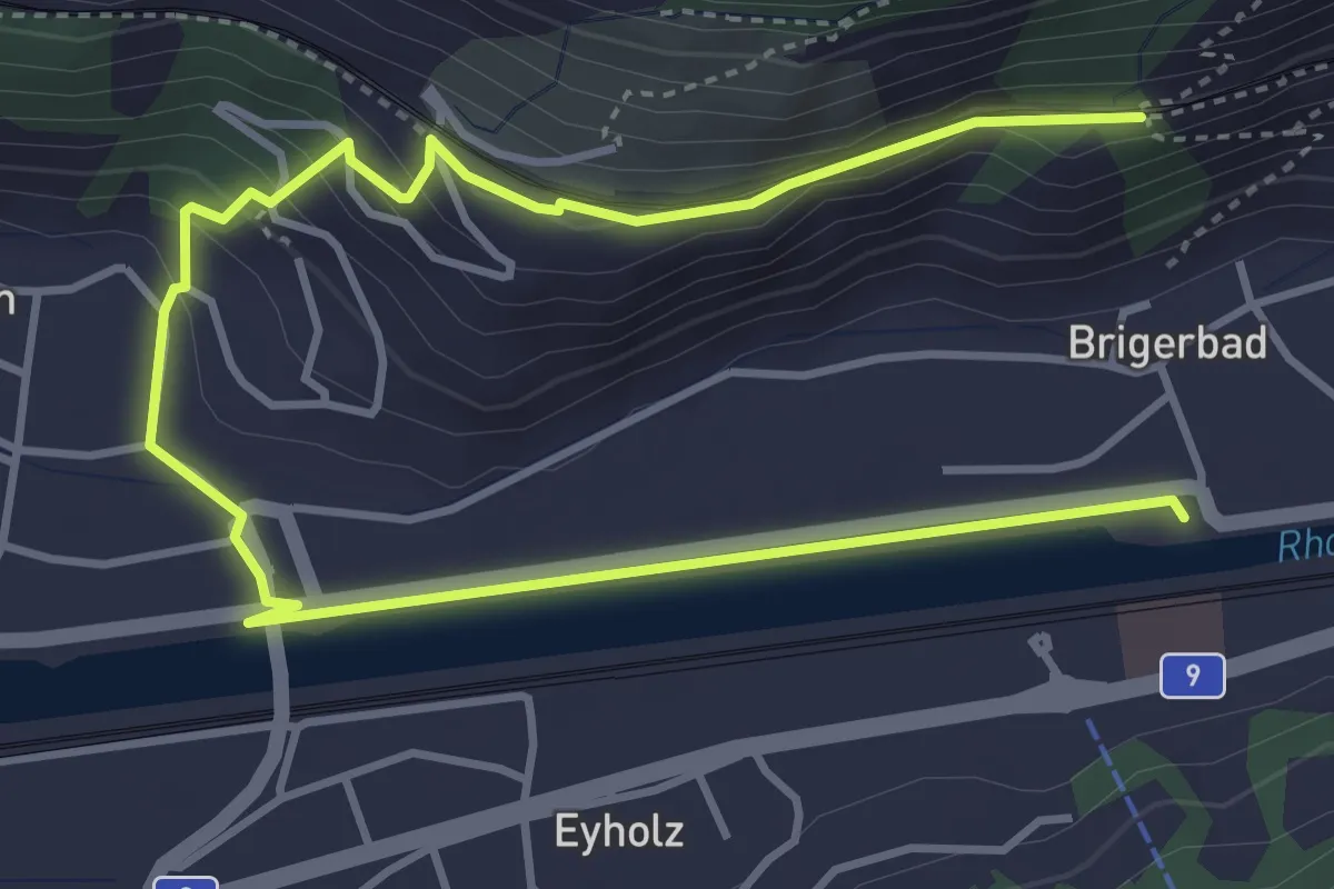
Medium · Trail
Lalden - Brigerbad
6.0 km · ↑ 169 m · 1 h 46 min · 6 km away
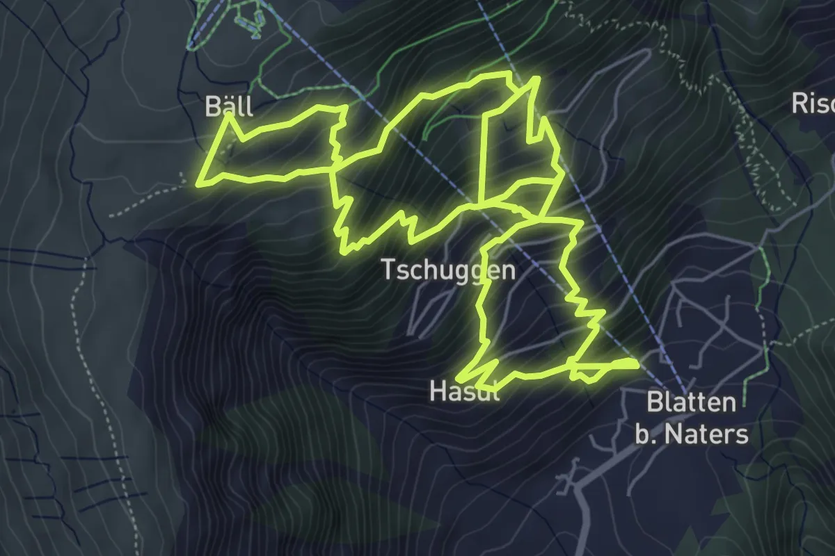
Demanding · Trail
Blatten - Belalp
13.6 km · ↑ 1434 m · 6 h 18 min · 6 km away
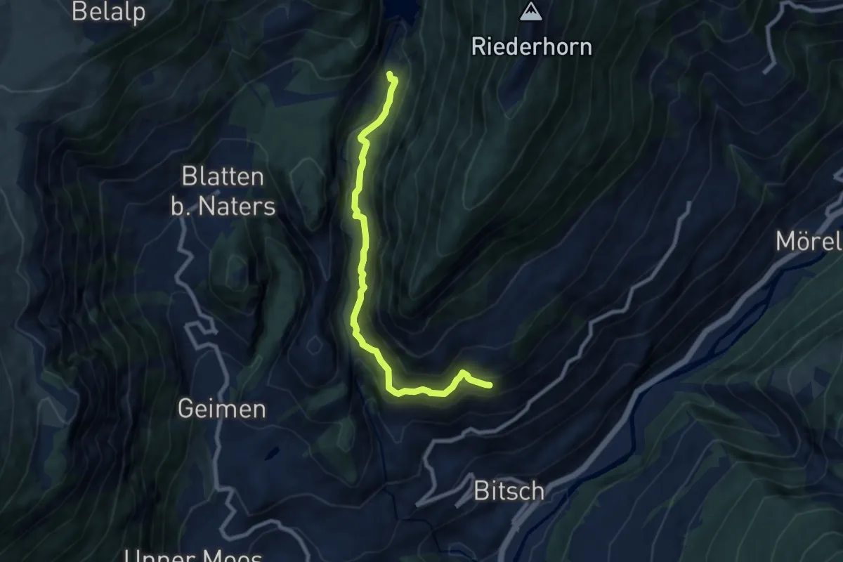
Demanding · Trail
Bitsch - Gibidum
7.6 km · ↑ 598 m · 3 h 6 min · 6 km away
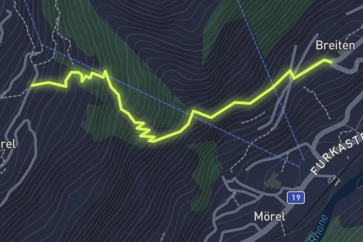
Medium · Trail
Ried-Mörel - Mörel
2.9 km · ↑ 340 m · 1 h 26 min · 6 km away
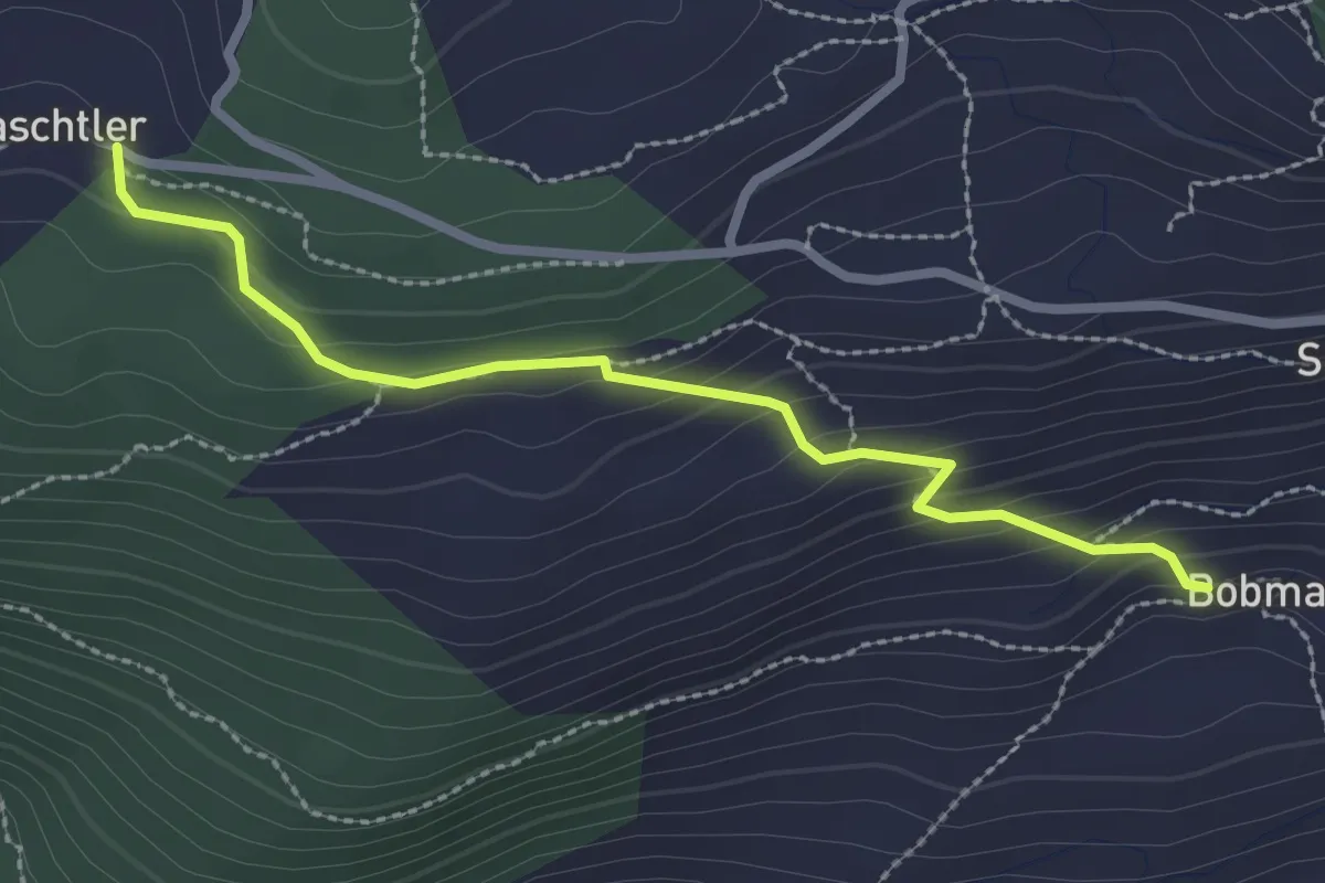
Medium · Trail
Chaschtler – Bobma
2.6 km · ↑ 164 m · 58 min · 6 km away
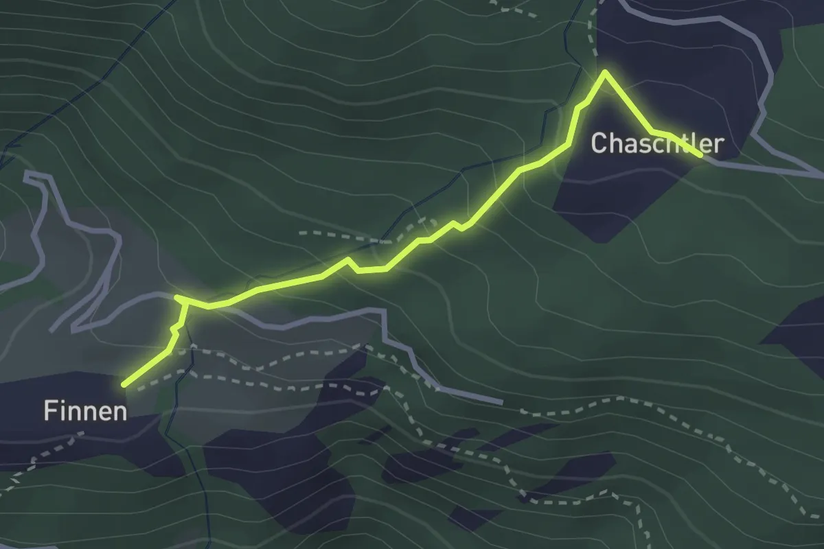
Easy · Trail
Chaschtler – Finnu
2.7 km · ↑ 249 m · 1 h 11 min · 6 km away
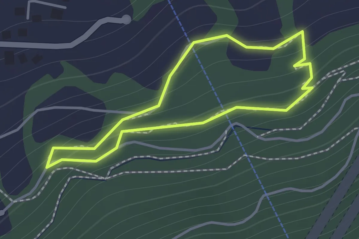
Easy · Trail
Rundweg Kastanienselve
1.0 km · ↑ 85 m · 26 min · 6 km away
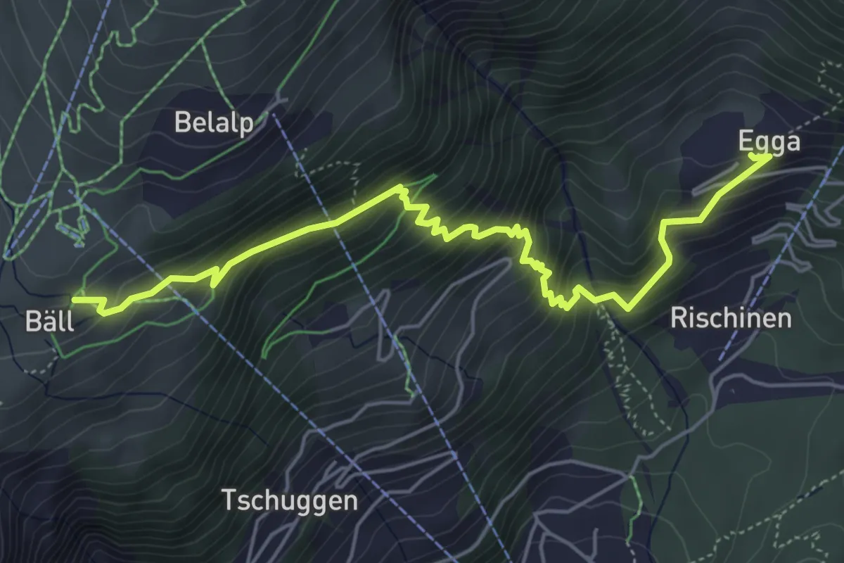
Medium · Trail
Egga - Belalp
5.9 km · ↑ 624 m · 2 h 44 min · 6 km away
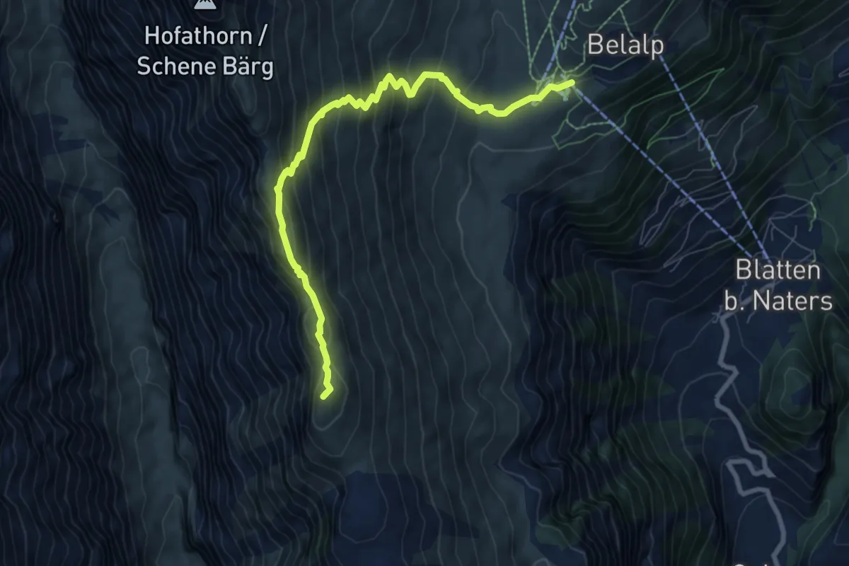
Medium · Summit
Belalp - Foggenhorn - Nessel
8.3 km · ↑ 700 m · 3 h 29 min · 6 km away
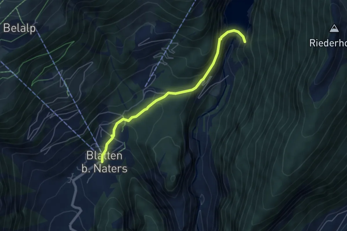
Easy · Trail
Blatten - Stausee Gibidum
4.8 km · ↑ 233 m · 1 h 38 min · 6 km away
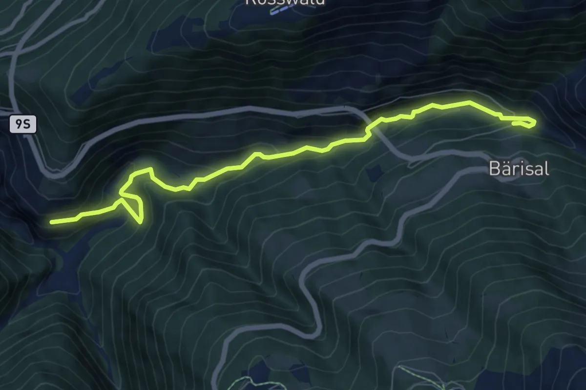
Medium · Trail
Ganterbrigga - Schallberg
8.6 km · ↑ 471 m · 3 h 3 min · 6 km away
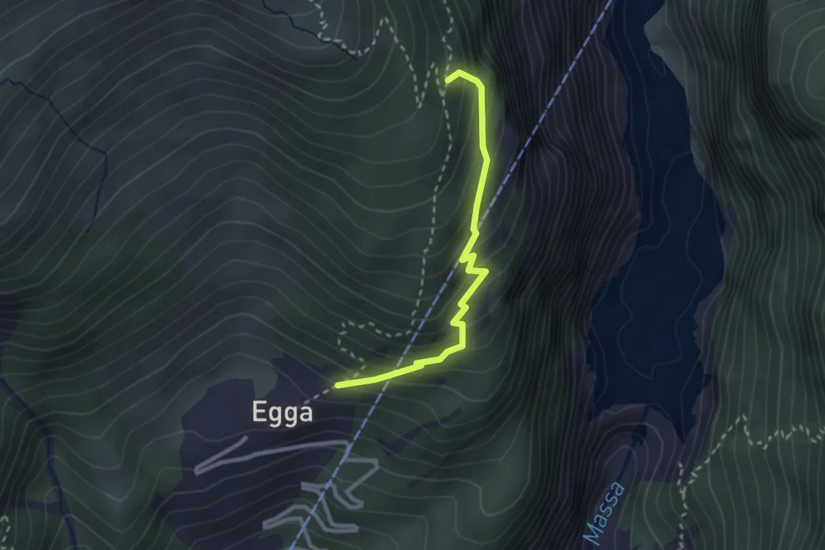
Demanding · Trail
Egga - Oberaletsch
2.3 km · ↑ 275 m · 1 h 9 min · 6 km away
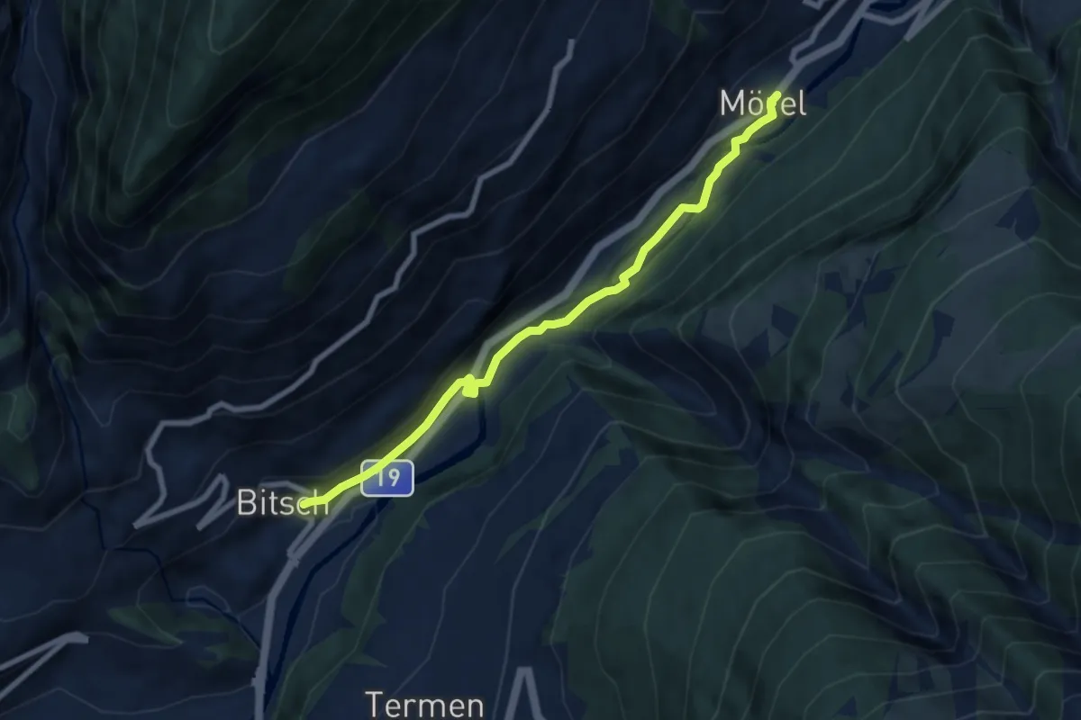
Easy · Trail
Mörel - Bitsch
7.0 km · ↑ 108 m · 1 h 53 min · 6 km away
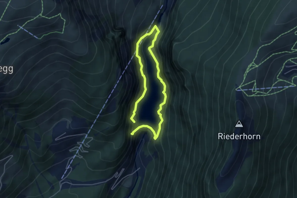
Medium · Trail
Klettersteig Aletsch
3.1 km · ↑ 307 m · 1 h 27 min · 6 km away
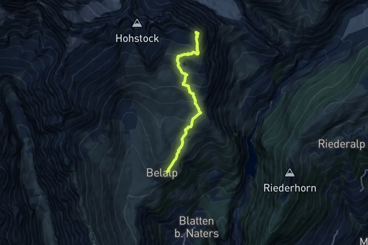
Demanding · Summit
Belalp – Sparrhorn
10.5 km · ↑ 900 m · 4 h 26 min · 6 km away
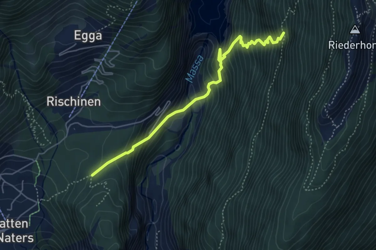
Demanding · Trail
Blatten - Riederhorn
4.6 km · ↑ 596 m · 2 h 23 min · 6 km away
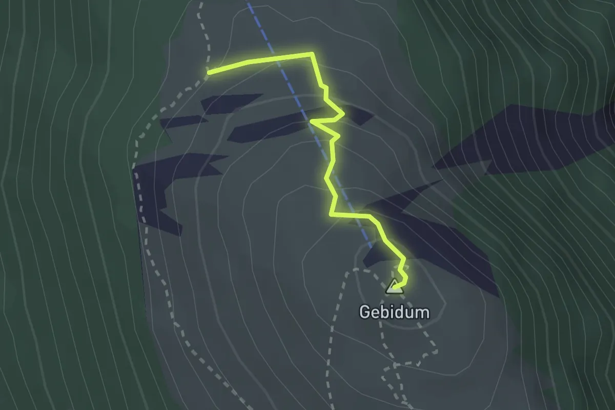
Medium · Summit
Gibidumpass - Gibidumsee
2.0 km · ↑ 138 m · 46 min · 6 km away
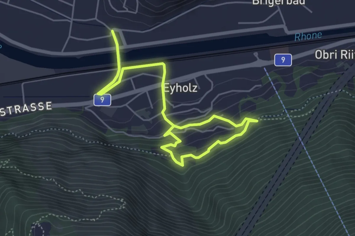
Medium · Trail
Lalden - Eyholz
6.3 km · ↑ 299 m · 2 h 8 min · 7 km away
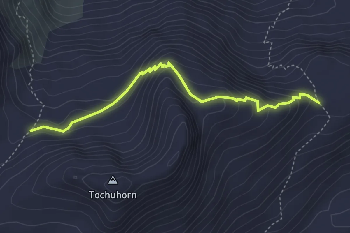
Expert · Trail
Lengritz - Gälmji
3.8 km · ↑ 339 m · 1 h 37 min · 7 km away
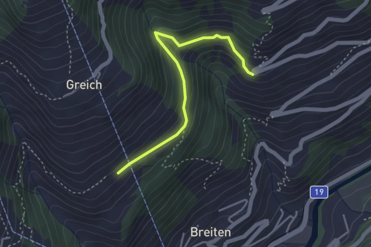
Easy · Trail
Greich - Filet
3.0 km · ↑ 260 m · 1 h 17 min · 7 km away