Trails near Burgdorf
373 hikes starting within 15 km, nearest first.
Nearest first, page 8 of 8
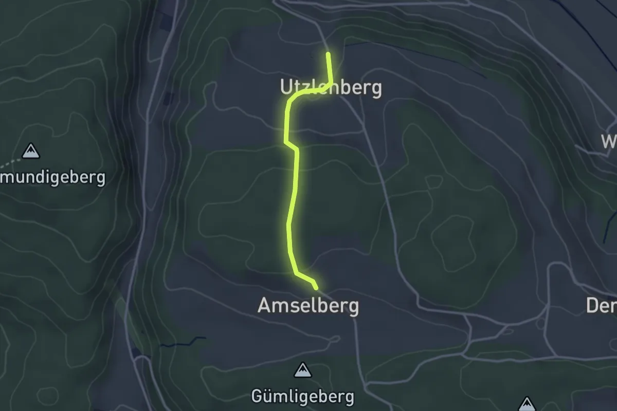
Easy · Trail
Amslenberg – Utzlenberg
2.3 km · ↑ 104 m · 46 min · 14 km away
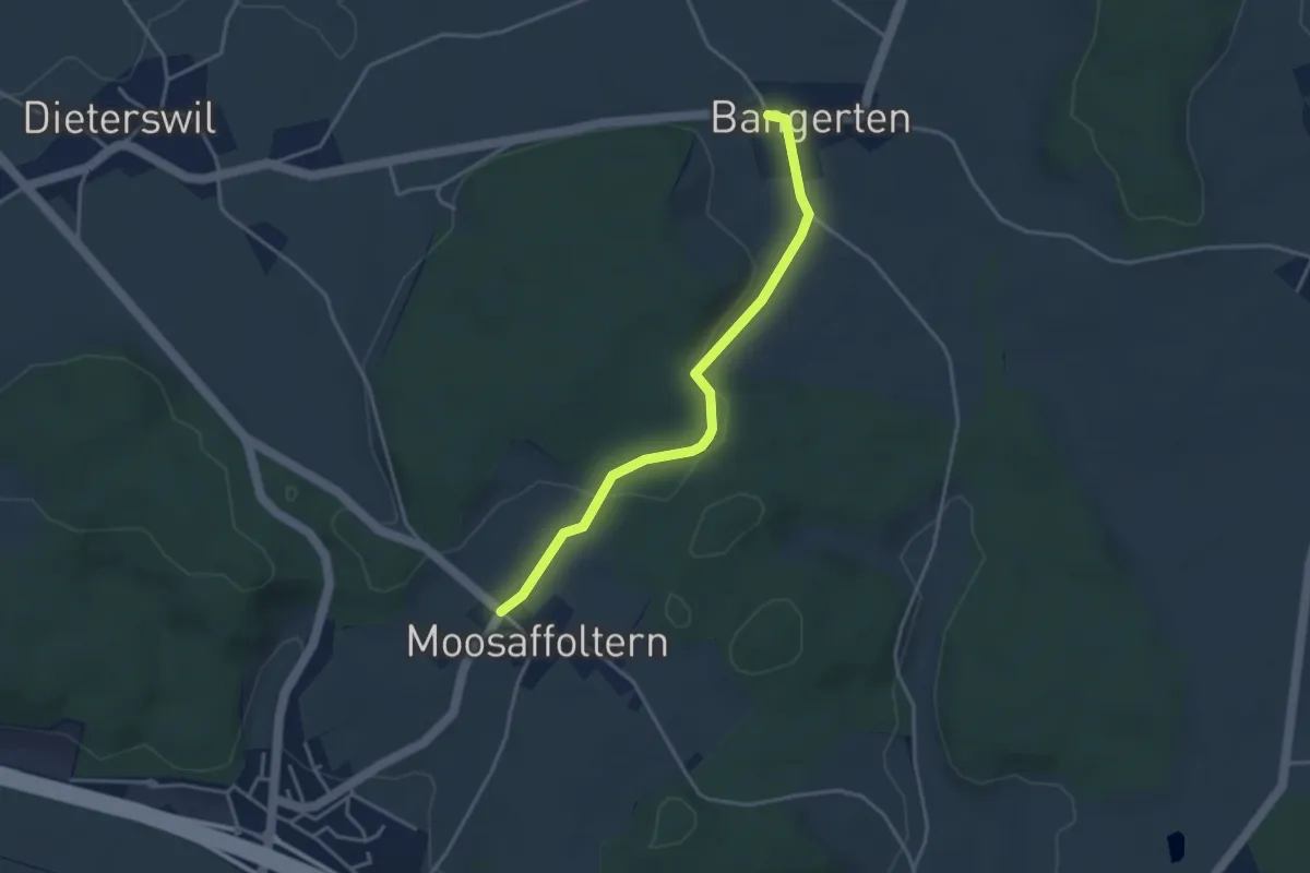
Easy · Trail
Moosaffoltern – Bangerten
3.6 km · ↑ 46 m · 56 min · 14 km away
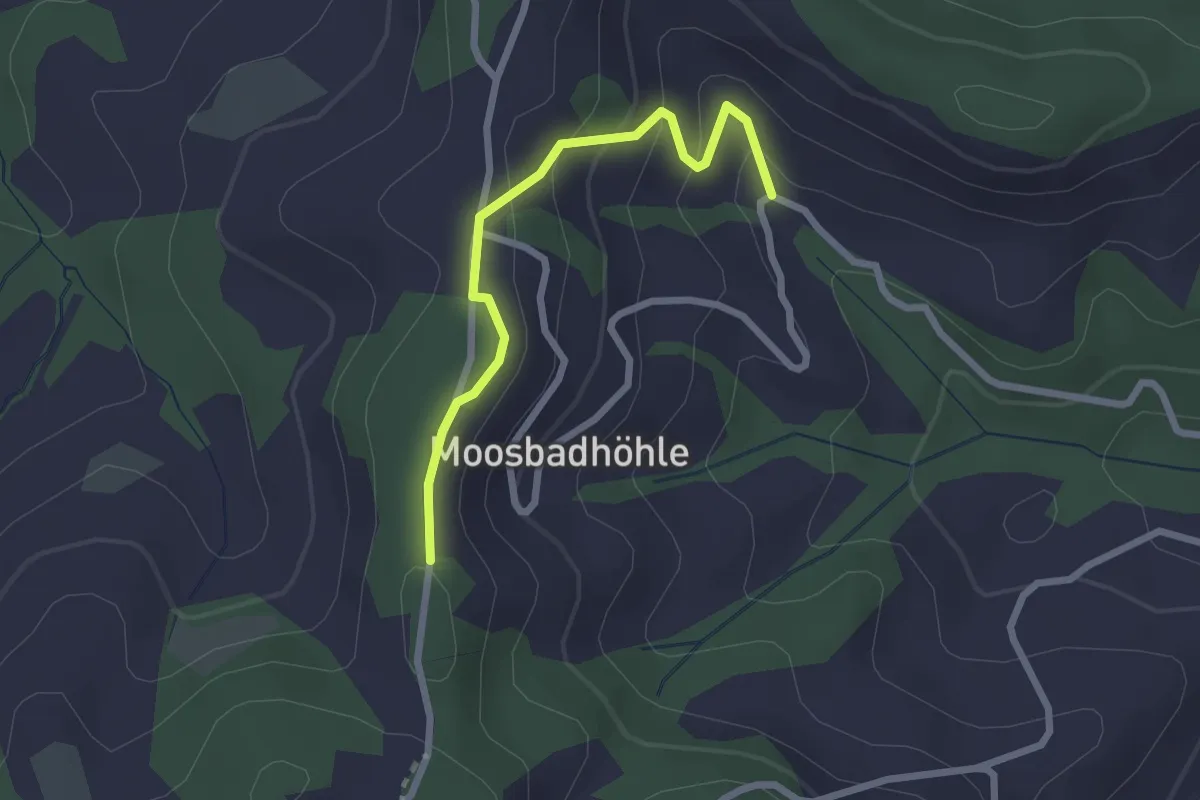
Easy · Trail
Moosbad – Moosegg
2.3 km · ↑ 102 m · 45 min · 14 km away
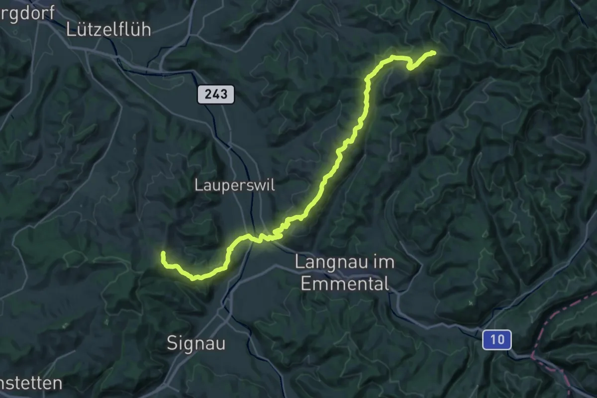
Medium · Trail
Alpenpanorama-Weg
15.6 km · ↑ 705 m · 5 h 20 min · 14 km away
Easy · Trail
Messen Junkholz - Messen Post
4.1 km · ↑ 71 m · 1 h 8 min · 14 km away
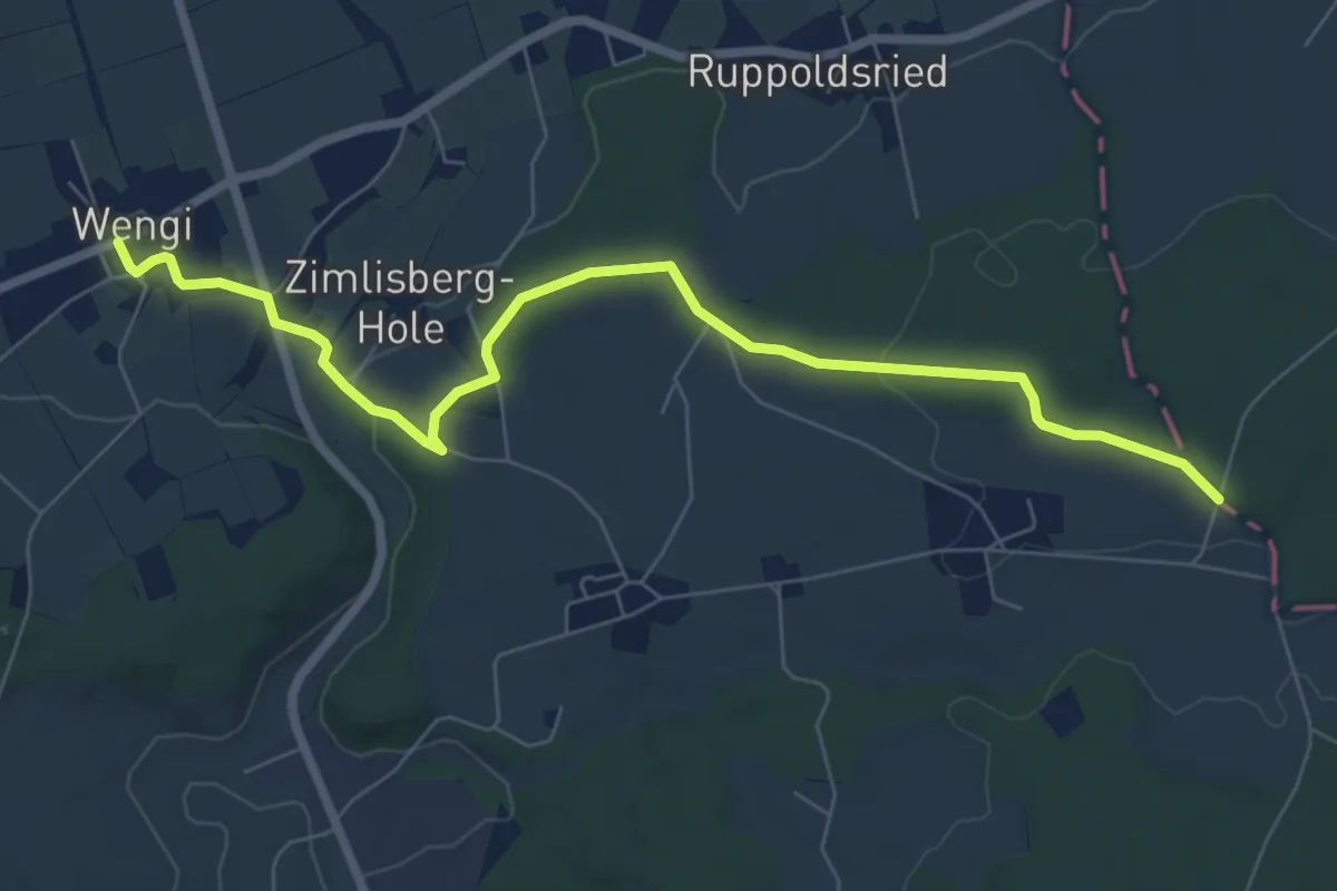
Easy · Trail
Messen Junkholz – Wengi
7.7 km · ↑ 108 m · 2 h 4 min · 14 km away
Easy · Trail
Ursenbach-Chaserentürli
2.5 km · ↑ 92 m · 47 min · 14 km away
Easy · Trail
Ursenbach-Egg
4.9 km · ↑ 150 m · 1 h 29 min · 14 km away
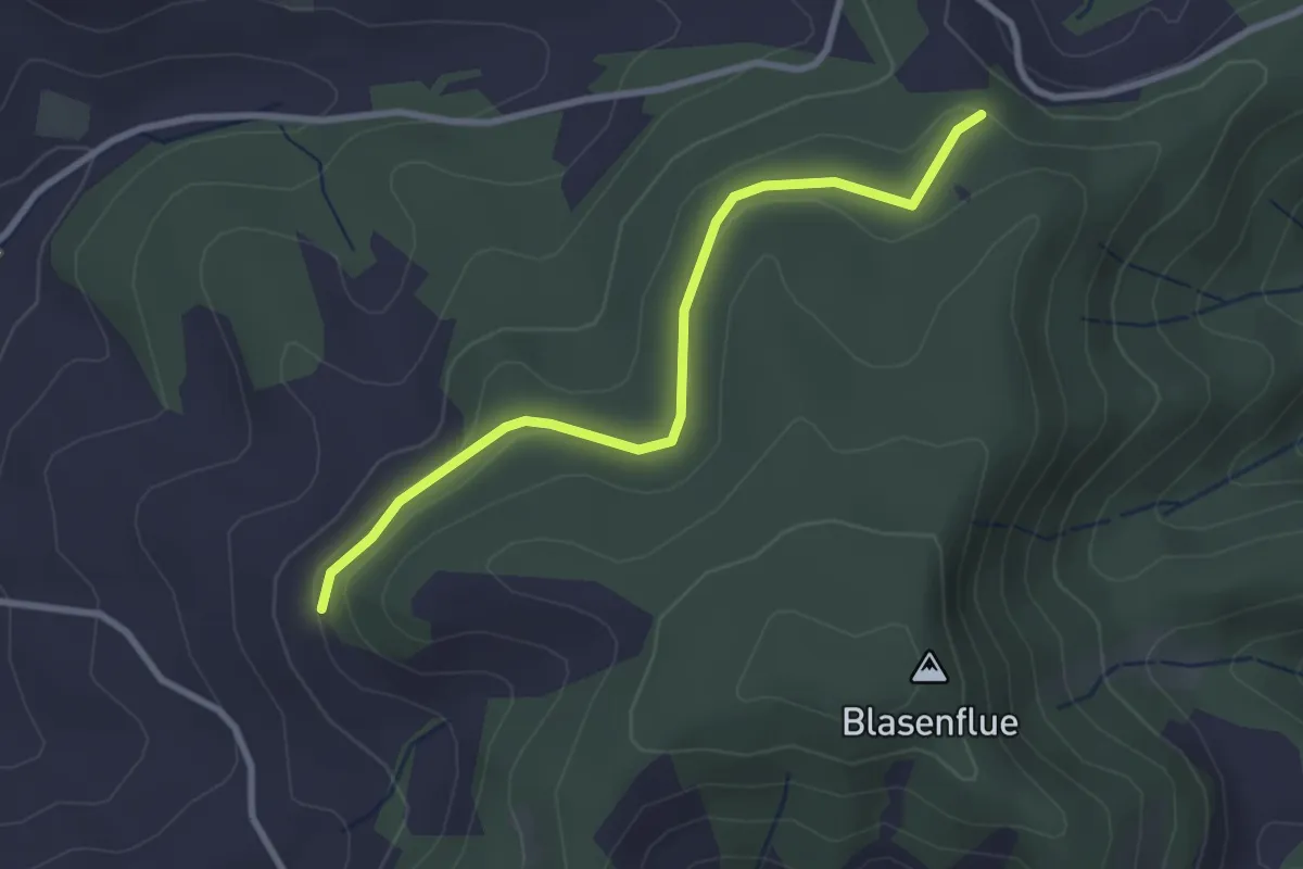
Easy · Trail
Fischerhubel – Blasenhorn
2.8 km · ↑ 110 m · 54 min · 14 km away
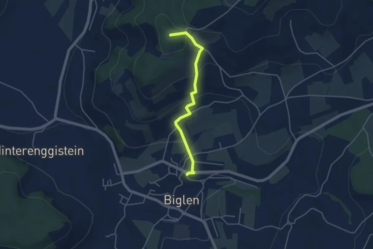
Easy · Summit
Biglen – Adlisberg
3.4 km · ↑ 169 m · 1 h 10 min · 14 km away
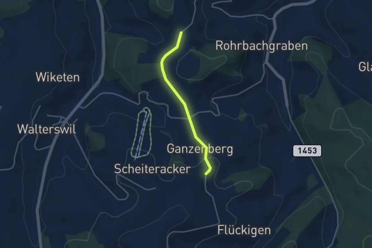
Easy · Trail
Weid – Ganseberg
2.5 km · ↑ 46 m · 41 min · 14 km away
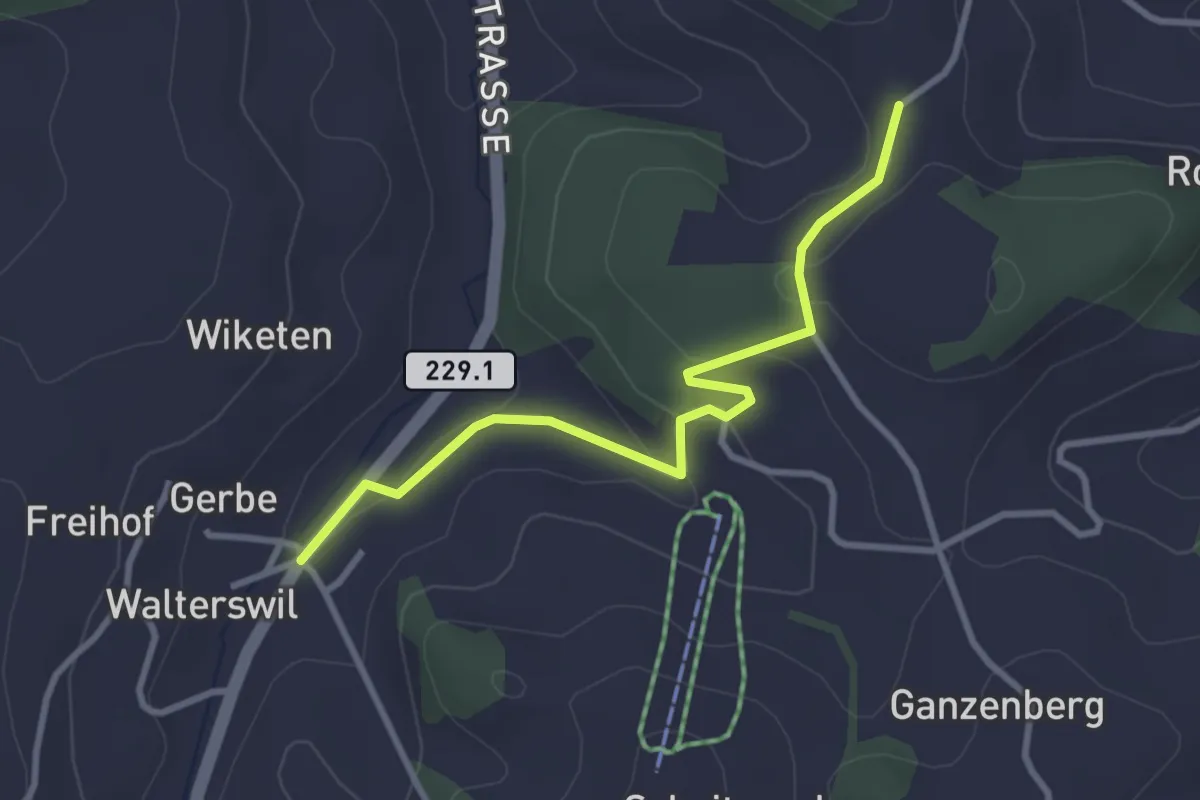
Easy · Trail
Weid – Walterswil
3.1 km · ↑ 68 m · 53 min · 14 km away
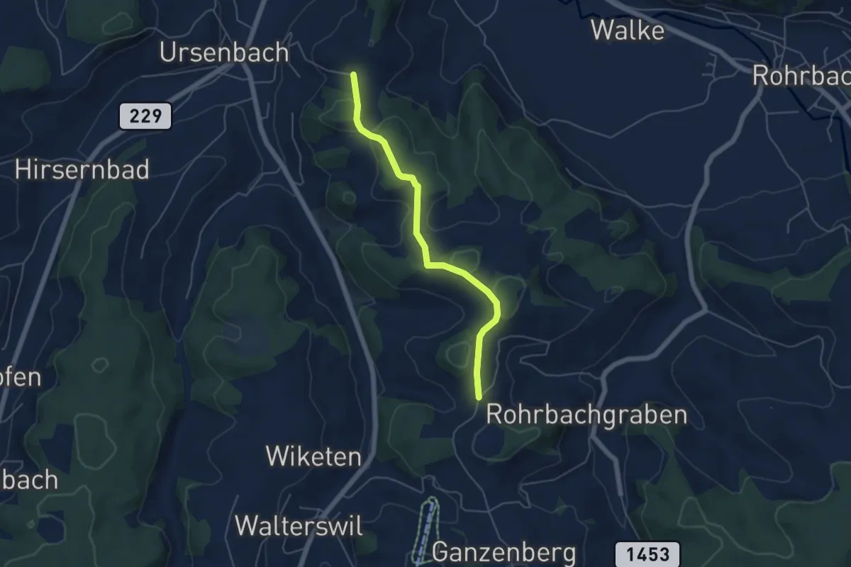
Easy · Trail
Schynensattel – Weid
4.6 km · ↑ 135 m · 1 h 23 min · 14 km away
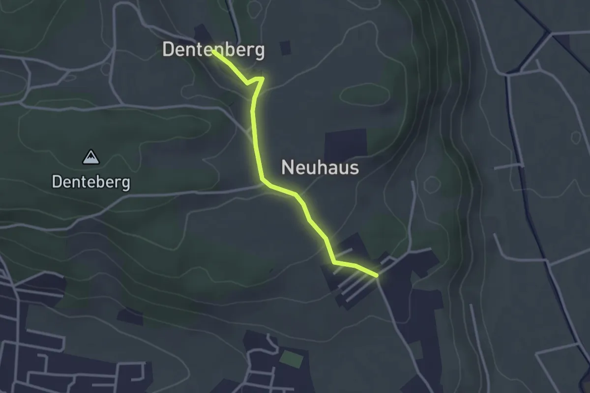
Easy · Trail
Neuhus – Dentenberg
2.4 km · ↑ 80 m · 45 min · 14 km away
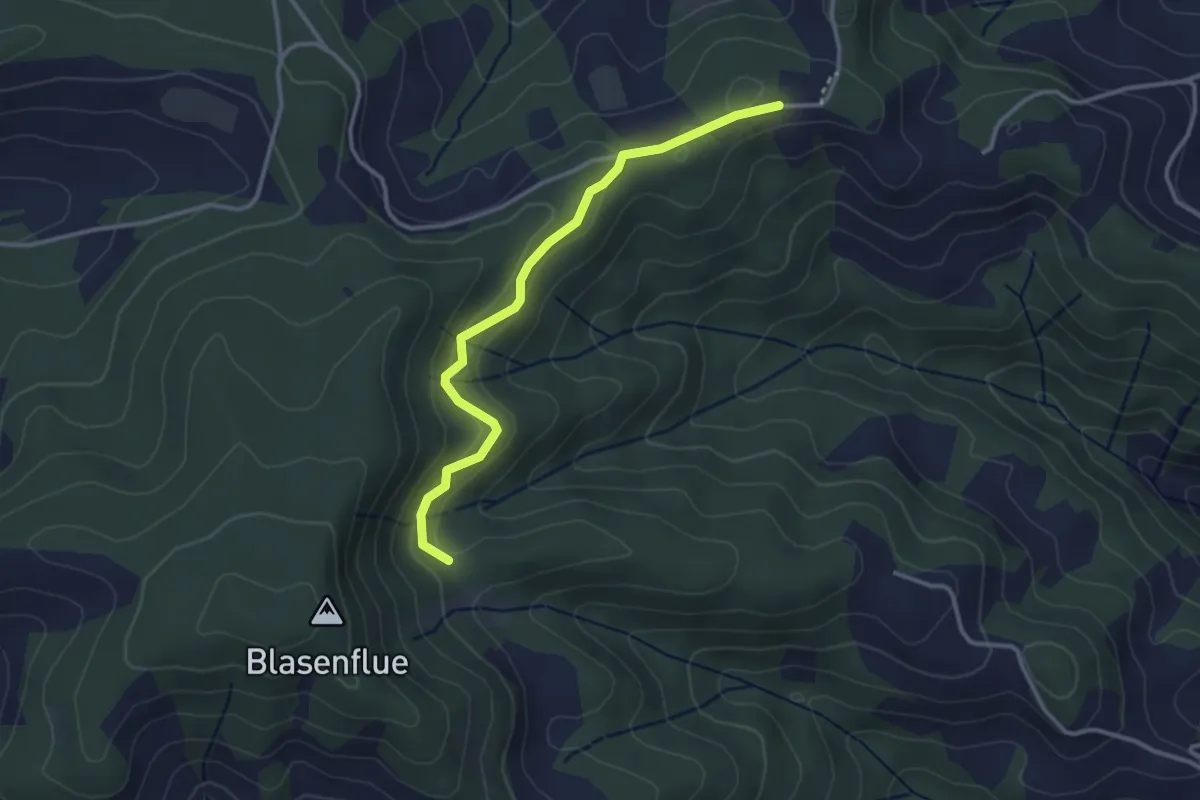
Easy · Trail
Mittler Hundschüpfen – Waldhäusern
3.1 km · ↑ 131 m · 1 h 1 min · 14 km away
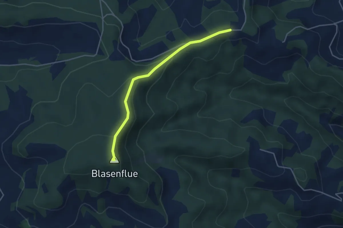
Easy · Summit
Blaseflue – Waldhaüsern
3.3 km · ↑ 139 m · 1 h 5 min · 14 km away
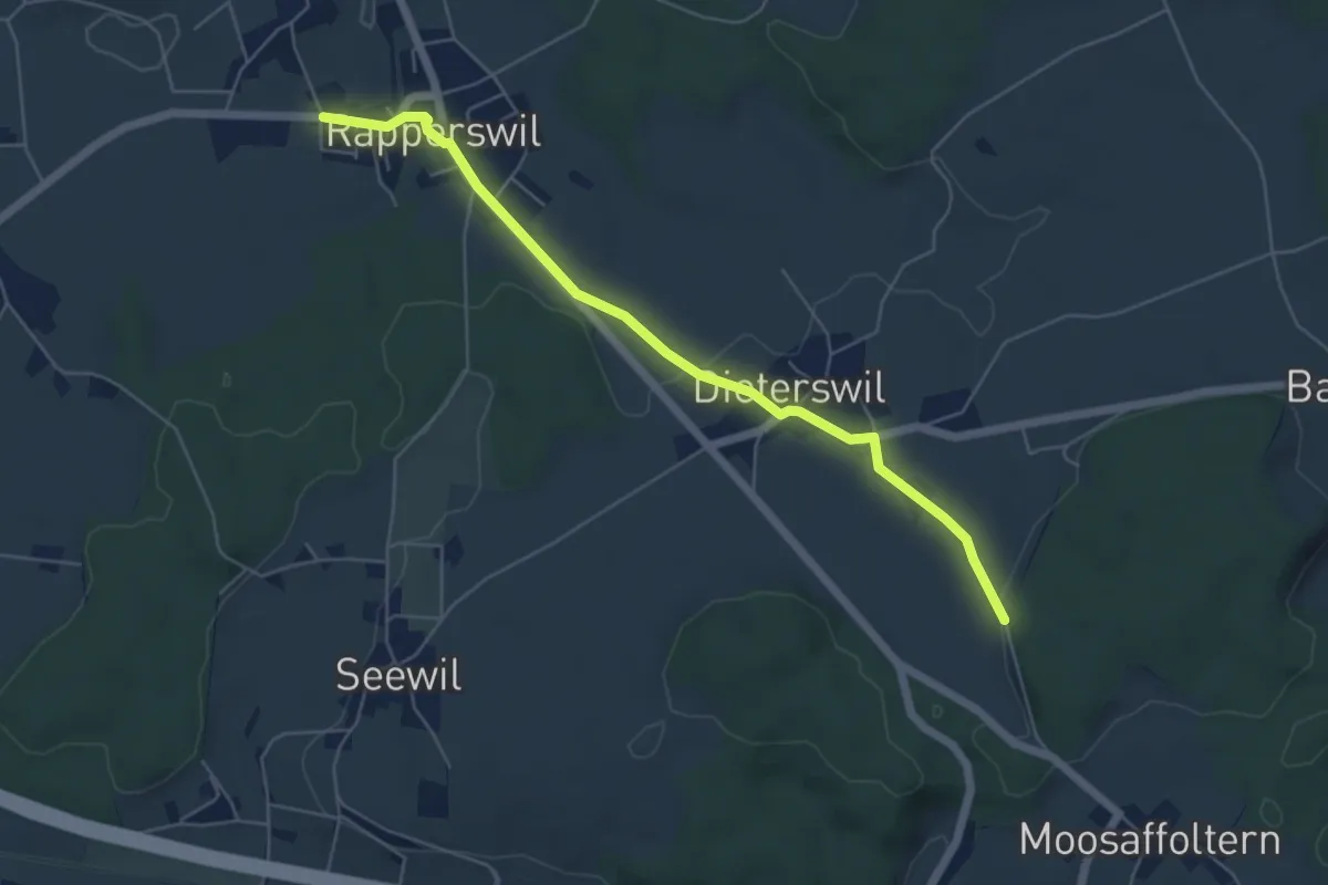
Easy · Trail
Rapperswil – Oberholz
5.6 km · ↑ 89 m · 1 h 32 min · 14 km away
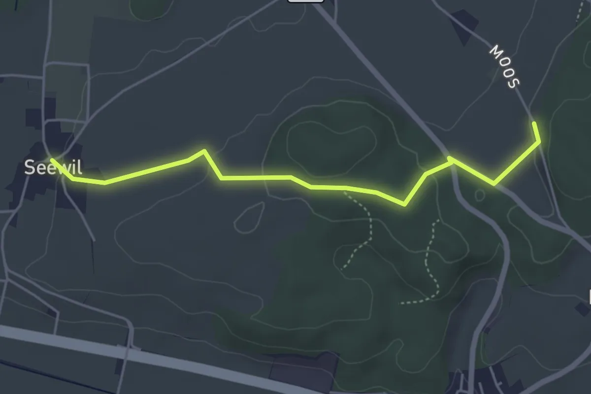
Easy · Trail
Oberholz – Seewil
4.5 km · ↑ 85 m · 1 h 15 min · 14 km away
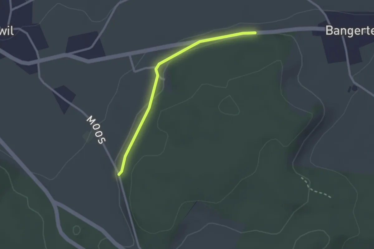
Easy · Trail
Hohrain – Oberholz
2.2 km · ↑ 47 m · 37 min · 14 km away
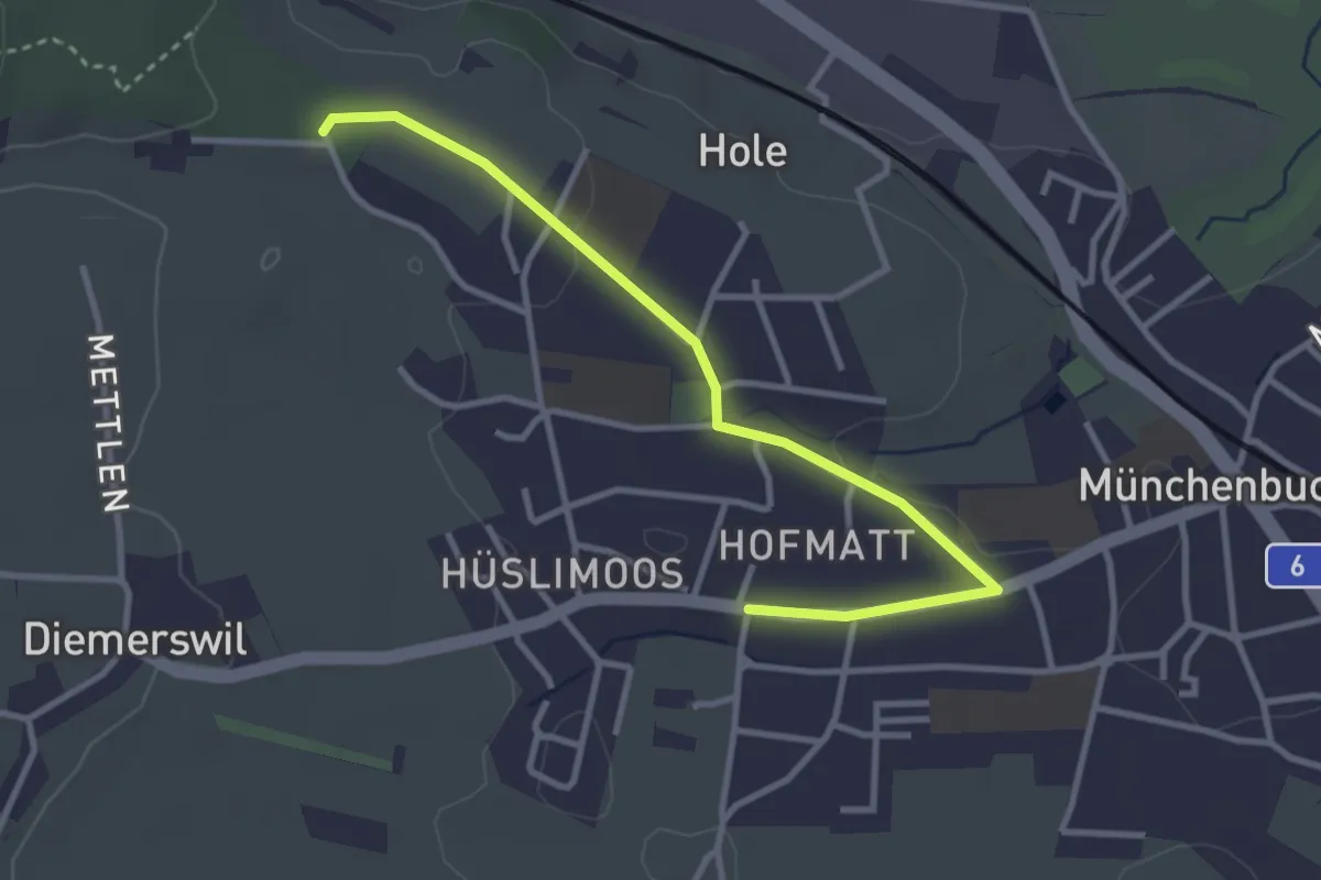
Easy · Trail
Münchenbuchsee – Bäreried
3.4 km · ↑ 45 m · 54 min · 14 km away
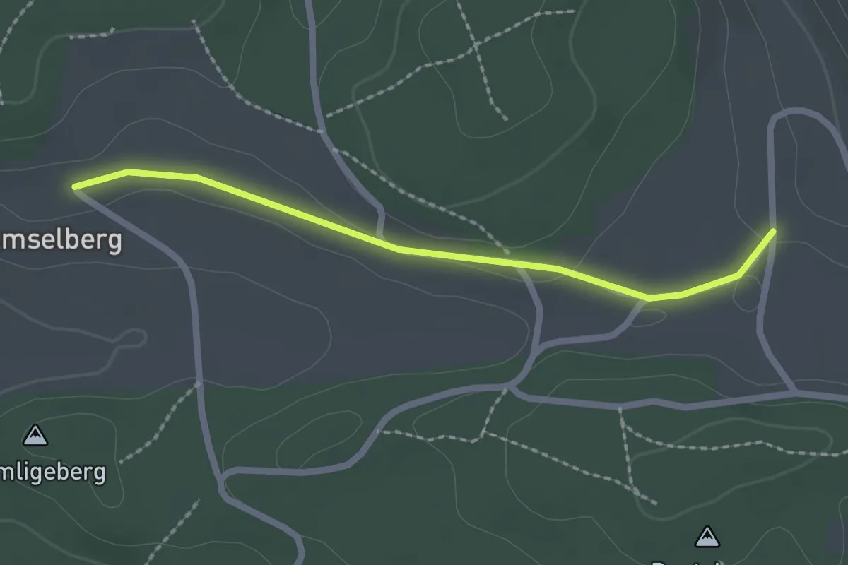
Easy · Trail
Dentenberg/Käserei – Amsleberg
2.0 km · ↑ 17 m · 31 min · 15 km away
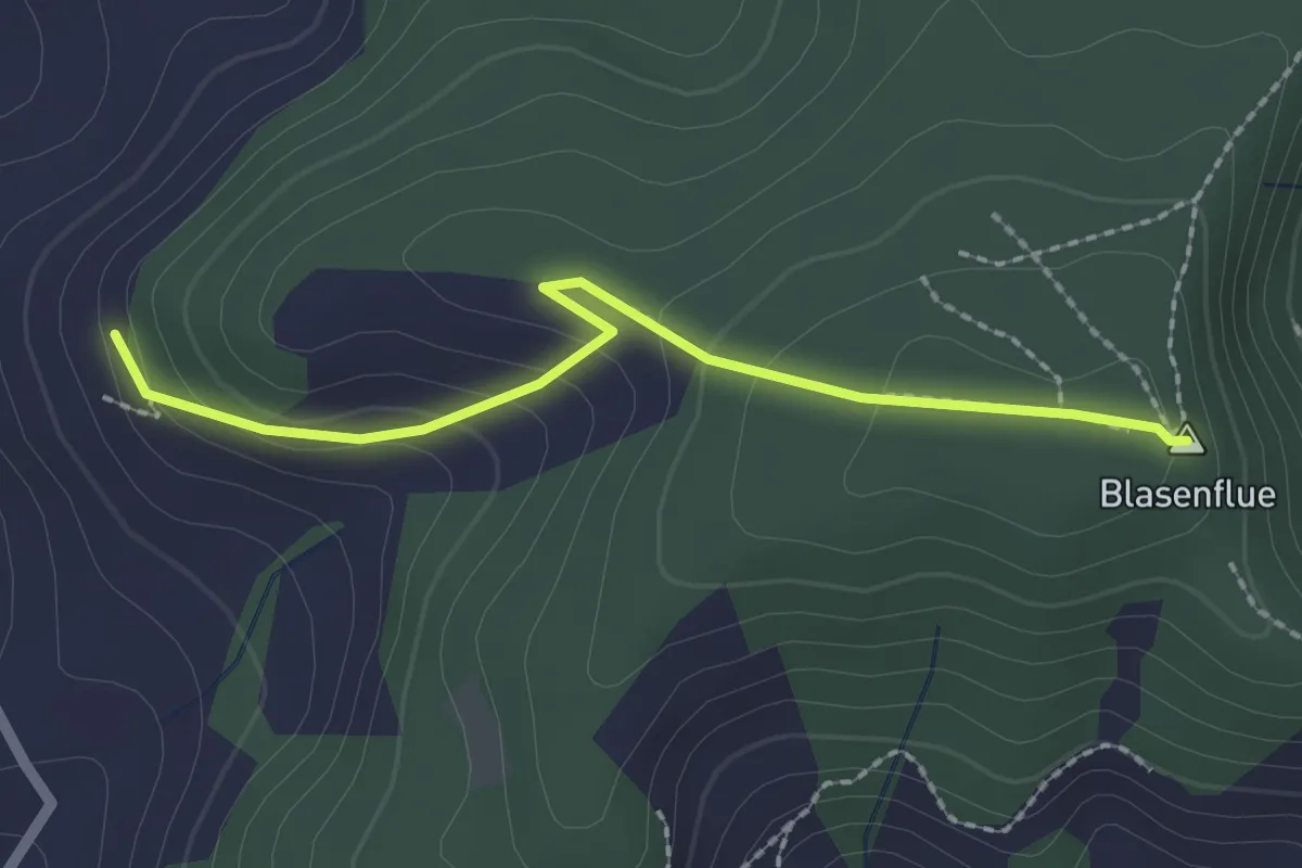
Easy · Summit
Blasenhorn – Blaseflue
2.1 km · ↑ 140 m · 48 min · 15 km away
Easy · Trail
Vorderholz - Leimboden
2.8 km · ↑ 153 m · 59 min · 15 km away
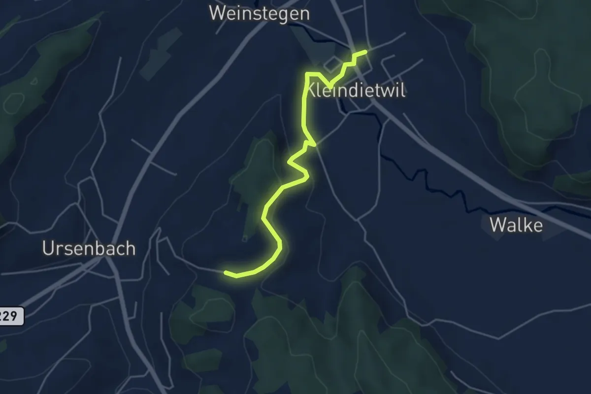
Easy · Trail
Kleindietwil – Schynensattel
4.1 km · ↑ 159 m · 1 h 19 min · 15 km away
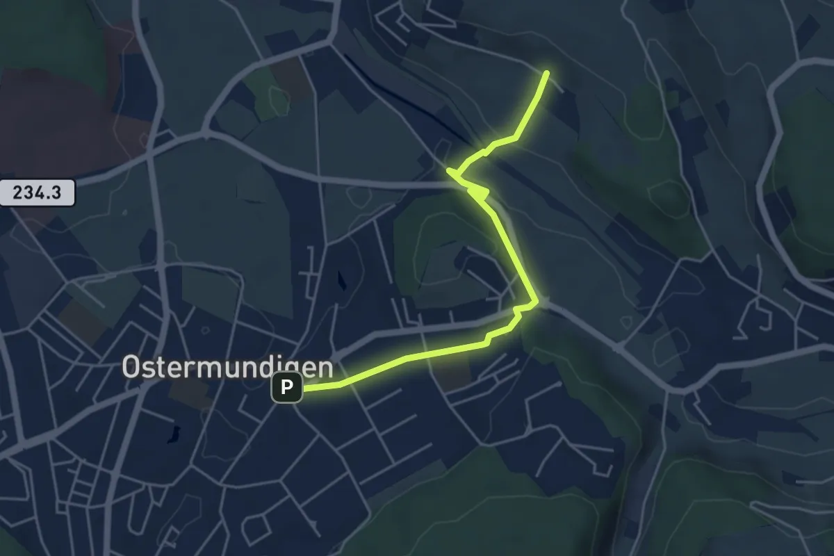
Easy · Trail
Hüenerbüel – Ostermundigen
4.6 km · ↑ 91 m · 1 h 17 min · 15 km away
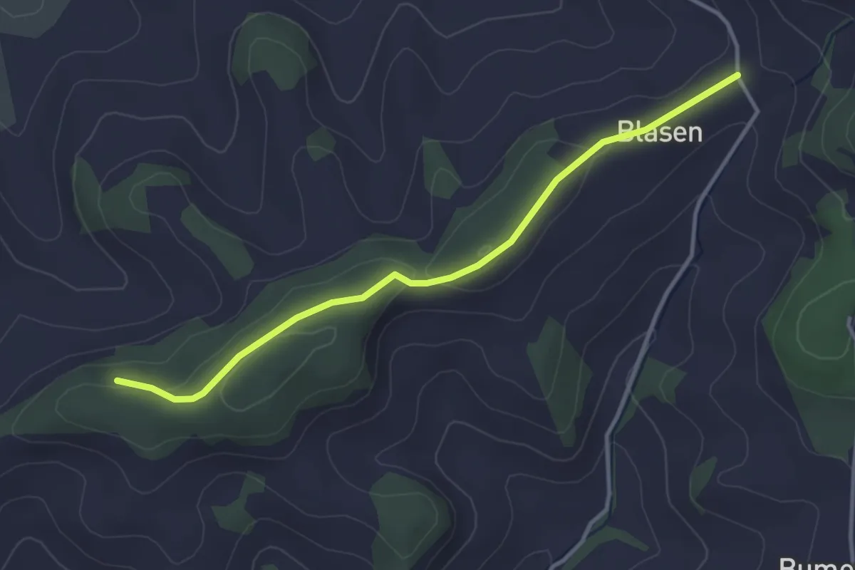
Easy · Trail
Chapfwald – Blase
3.5 km · ↑ 83 m · 1 h 1 min · 15 km away
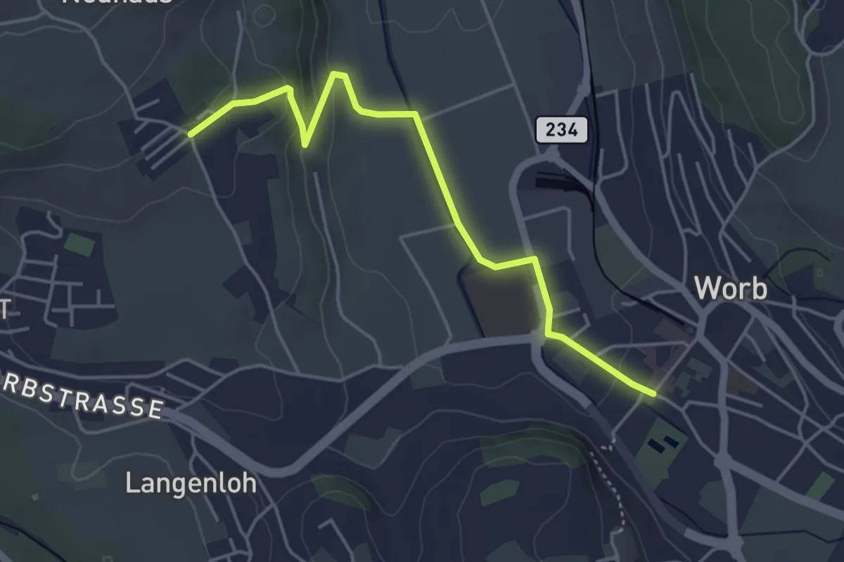
Easy · Trail
Neuhus – Worb Sternen
4.4 km · ↑ 113 m · 1 h 17 min · 15 km away
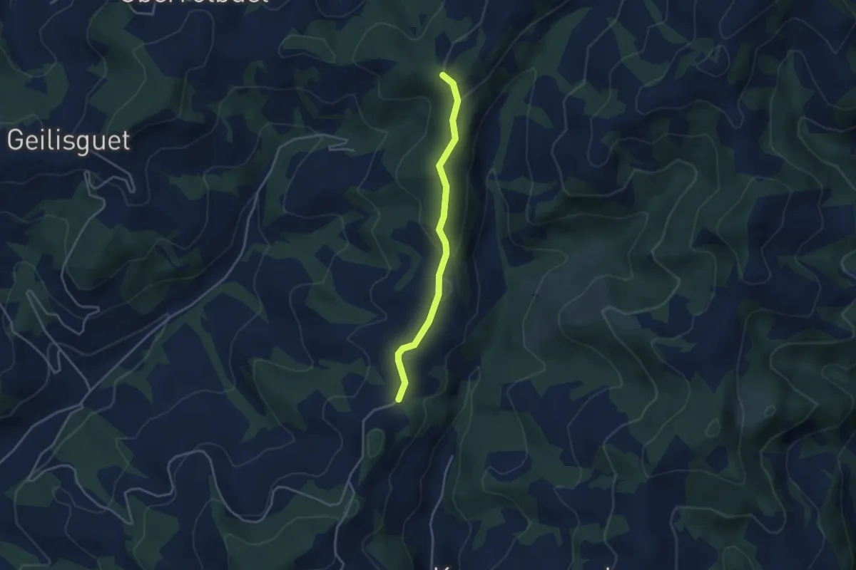
Easy · Trail
Hullereschür - Fluehüsli
3.3 km · ↑ 99 m · 1 h · 15 km away
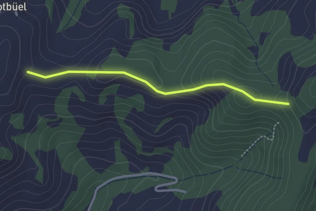
Easy · Trail
Rotebüelegg - Flüehüsli
2.1 km · ↑ 67 m · 39 min · 15 km away
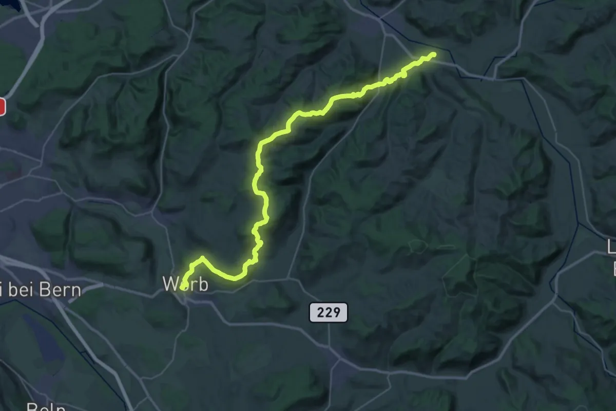
Medium · Trail
Trans Swiss Trail
17.7 km · ↑ 623 m · 5 h 47 min · 15 km away
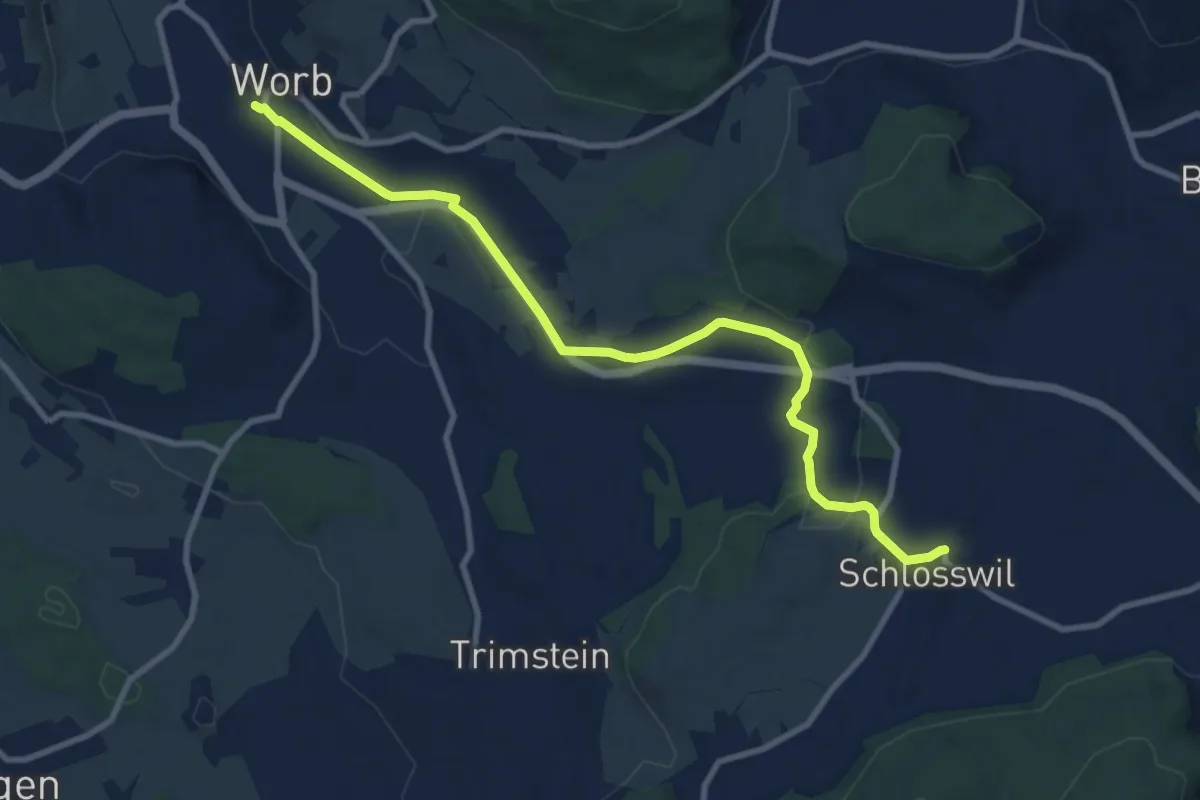
Medium · Trail
Worb – Schlosswil
10.2 km · ↑ 197 m · 2 h 50 min · 15 km away
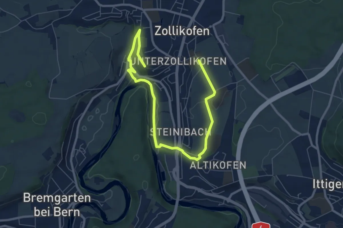
Medium · Trail
Landschaftsweg Zollikofen
8.5 km · ↑ 142 m · 2 h 19 min · 15 km away
Easy · Trail
Lohn Lüterkofen - Biberist
7.6 km · ↑ 31 m · 1 h 51 min · 15 km away
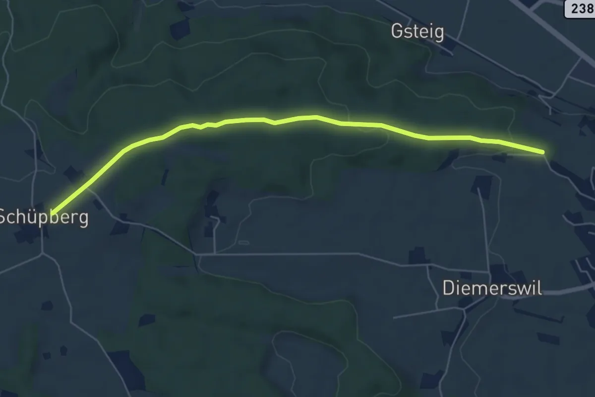
Easy · Trail
Bäreried – Schüpberg
6.0 km · ↑ 129 m · 1 h 41 min · 15 km away
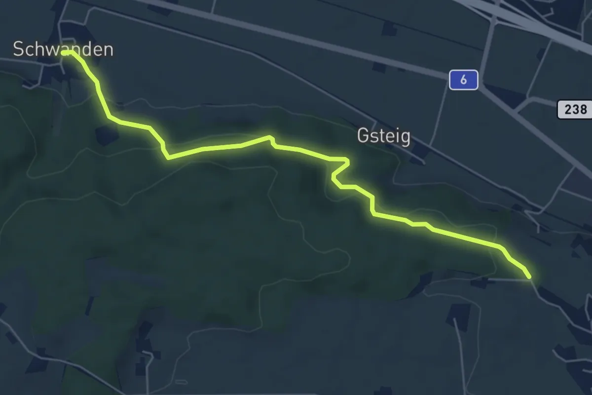
Easy · Trail
Schwanden – Bäreried
6.0 km · ↑ 226 m · 1 h 54 min · 15 km away
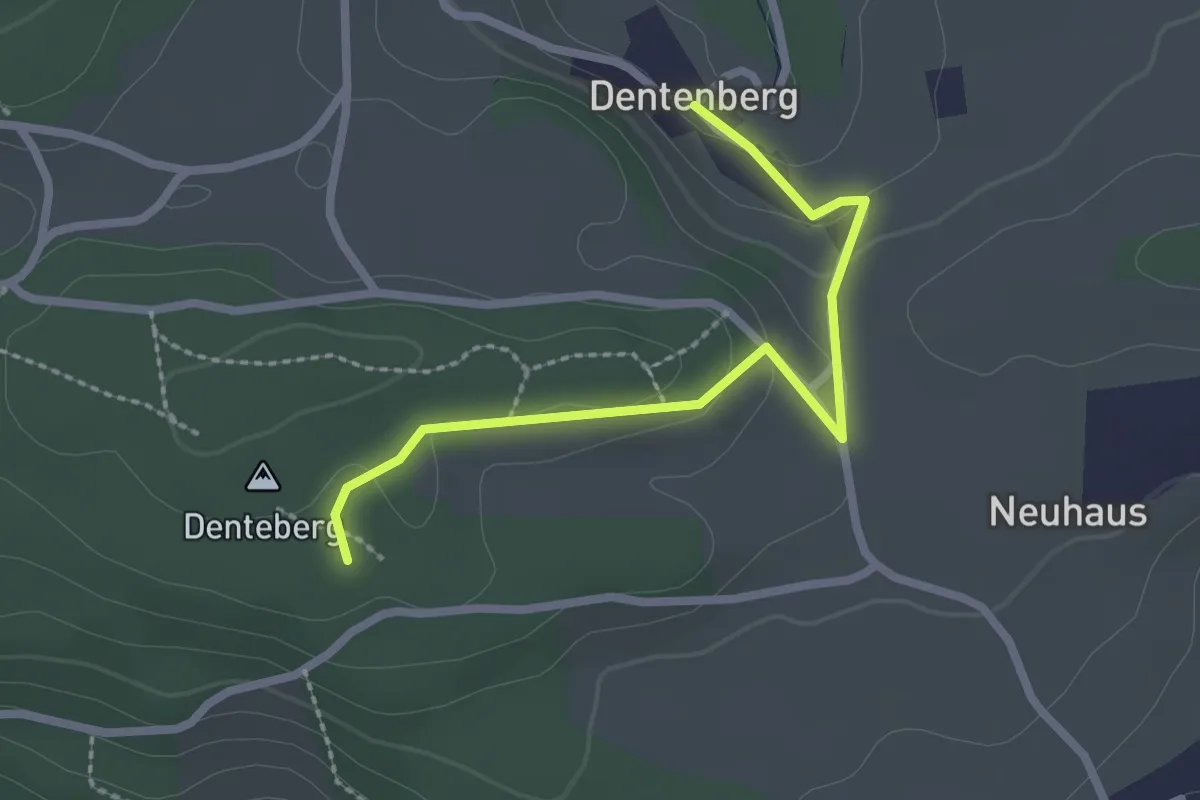
Easy · Trail
Dentenberg – Dentenberg
2.4 km · ↑ 69 m · 43 min · 15 km away
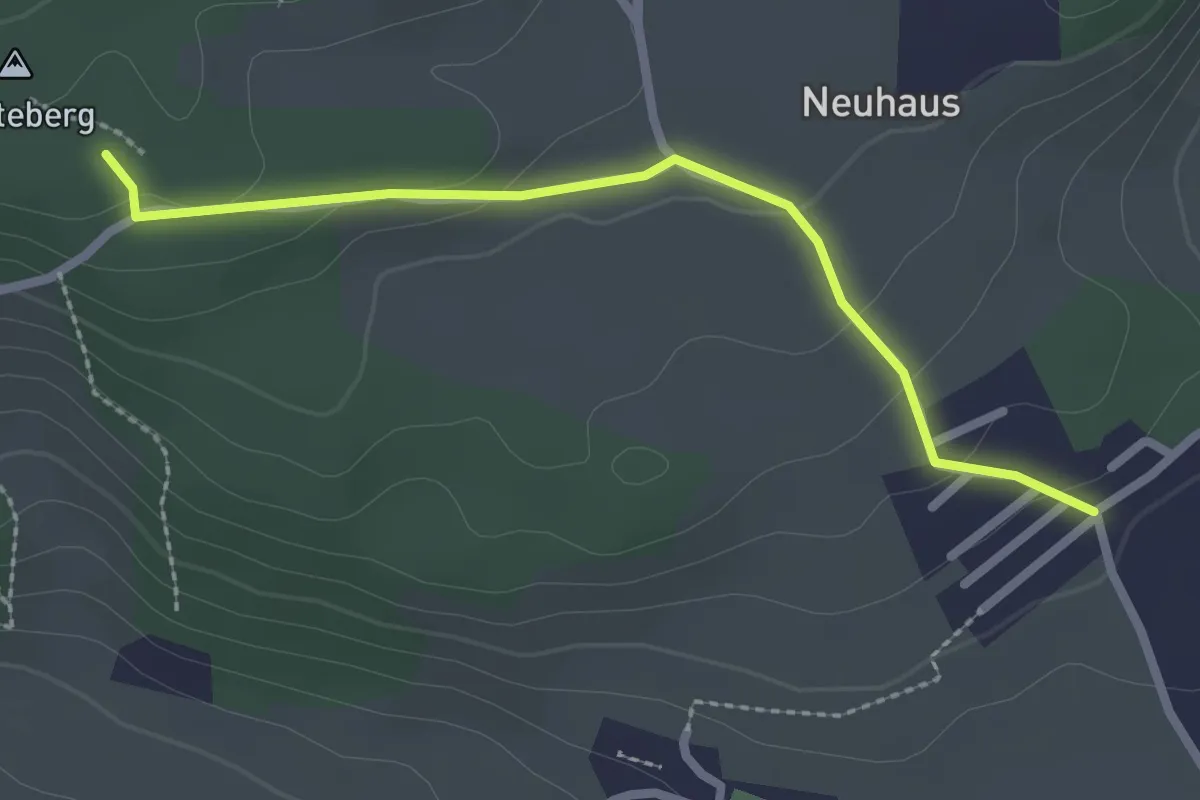
Easy · Trail
Neuhus – Denteberg
2.4 km · ↑ 76 m · 44 min · 15 km away