Trails near Bussigny
23 hikes starting within 15 km, nearest first.
Nearest first
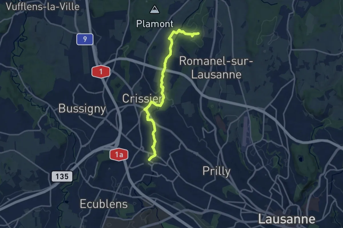
Medium · Trail
Pierre-à-Cambot – Renens
11.9 km · ↑ 186 m · 3 h 12 min · 3 km away
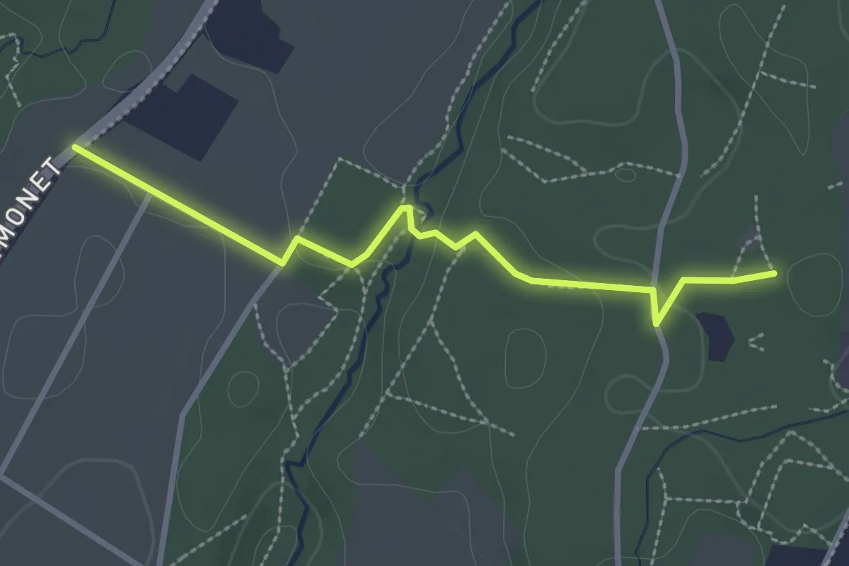
Easy · Trail
Pierre-à-Cambot – Mex
2.7 km · ↑ 43 m · 44 min · 3 km away
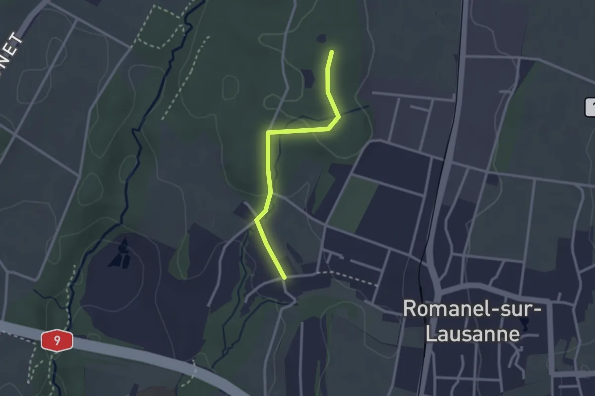
Easy · Trail
Le Taulard – Pierre-à-Cambot
2.2 km · ↑ 42 m · 37 min · 4 km away
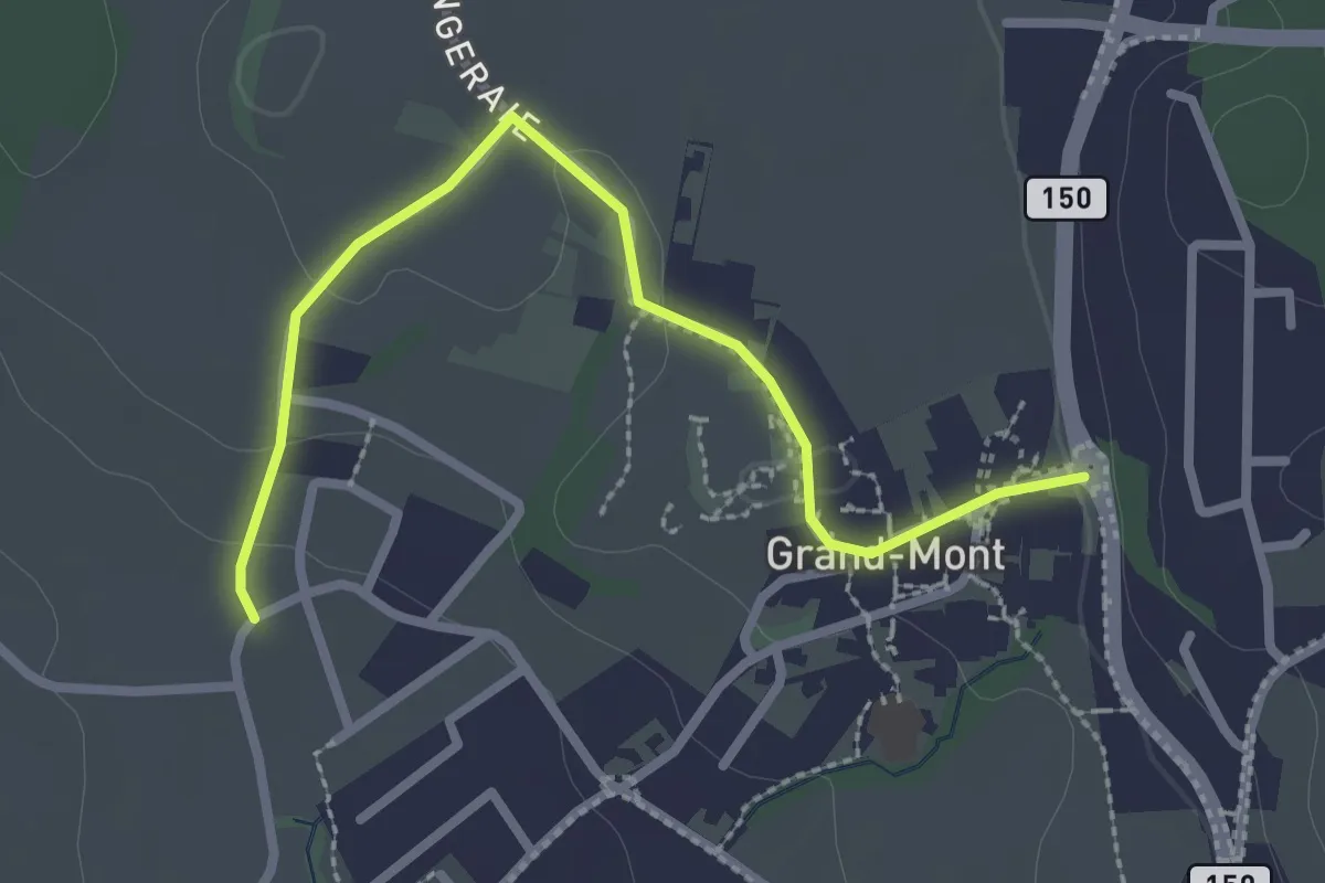
Easy · Trail
Grand Mont – Romanel-sur-Lausanne
2.7 km · ↑ 35 m · 43 min · 5 km away
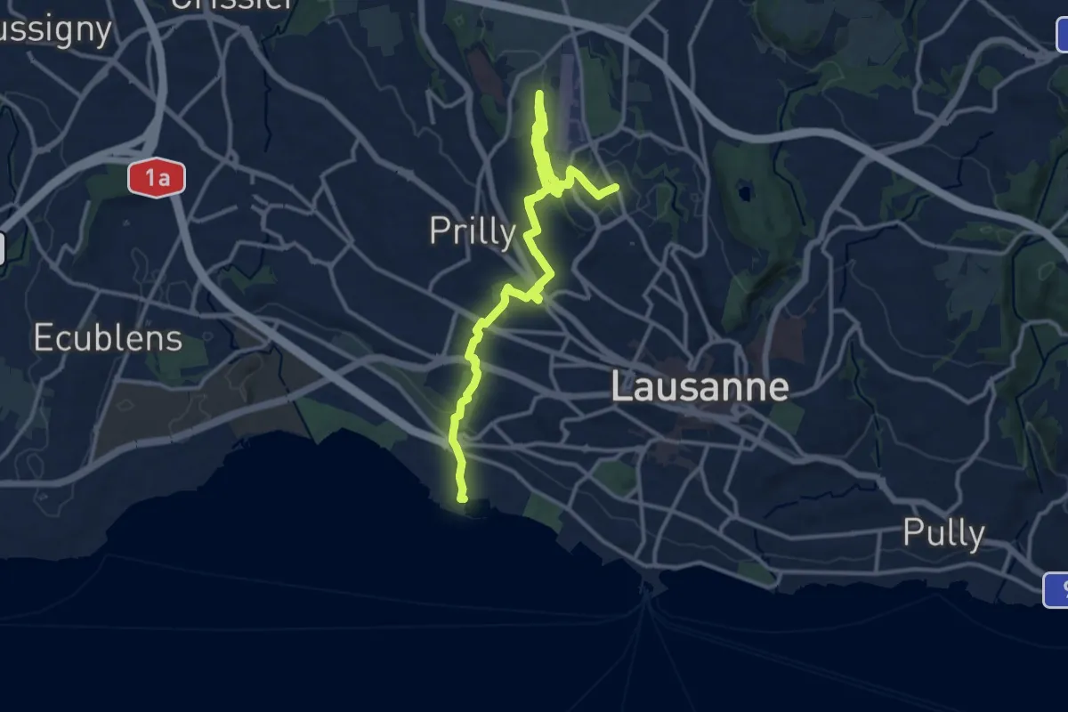
Easy · Trail
Sentier nature Grand Lausanne
6.9 km · ↑ 252 m · 2 h 10 min · 6 km away
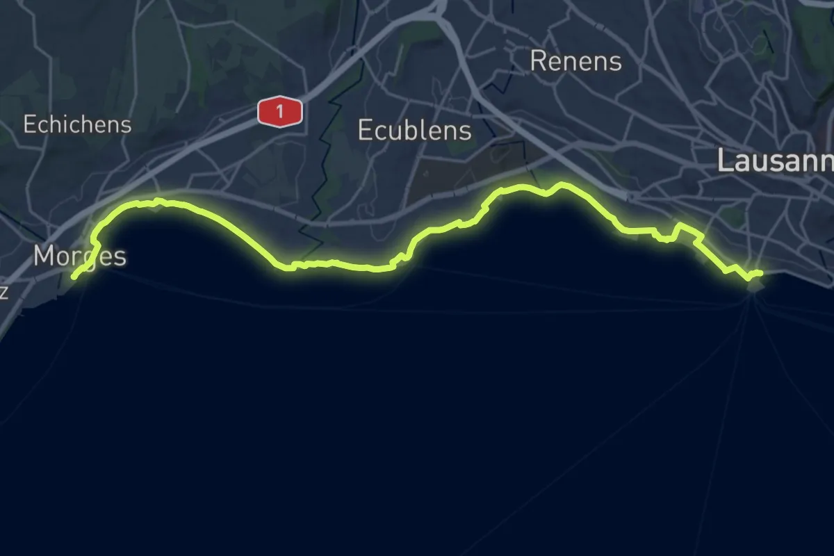
Demanding · Trail
Chemin panorama alpin
25.7 km · ↑ 95 m · 6 h 17 min · 7 km away
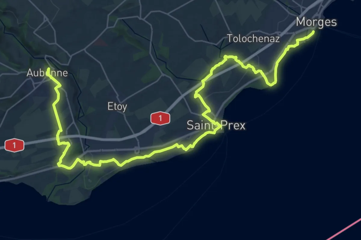
Demanding · Trail
Chemin panorama alpin
18.1 km · ↑ 243 m · 4 h 58 min · 7 km away
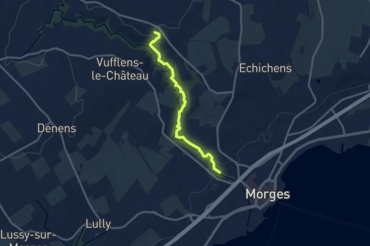
Easy · Trail
Sentier de la Morges
6.2 km · ↑ 120 m · 1 h 44 min · 7 km away
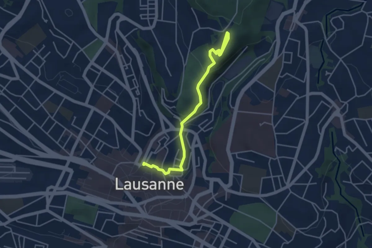
Easy · Trail
Lausanne Riponne – Sauvabelin
3.8 km · ↑ 133 m · 1 h 12 min · 7 km away
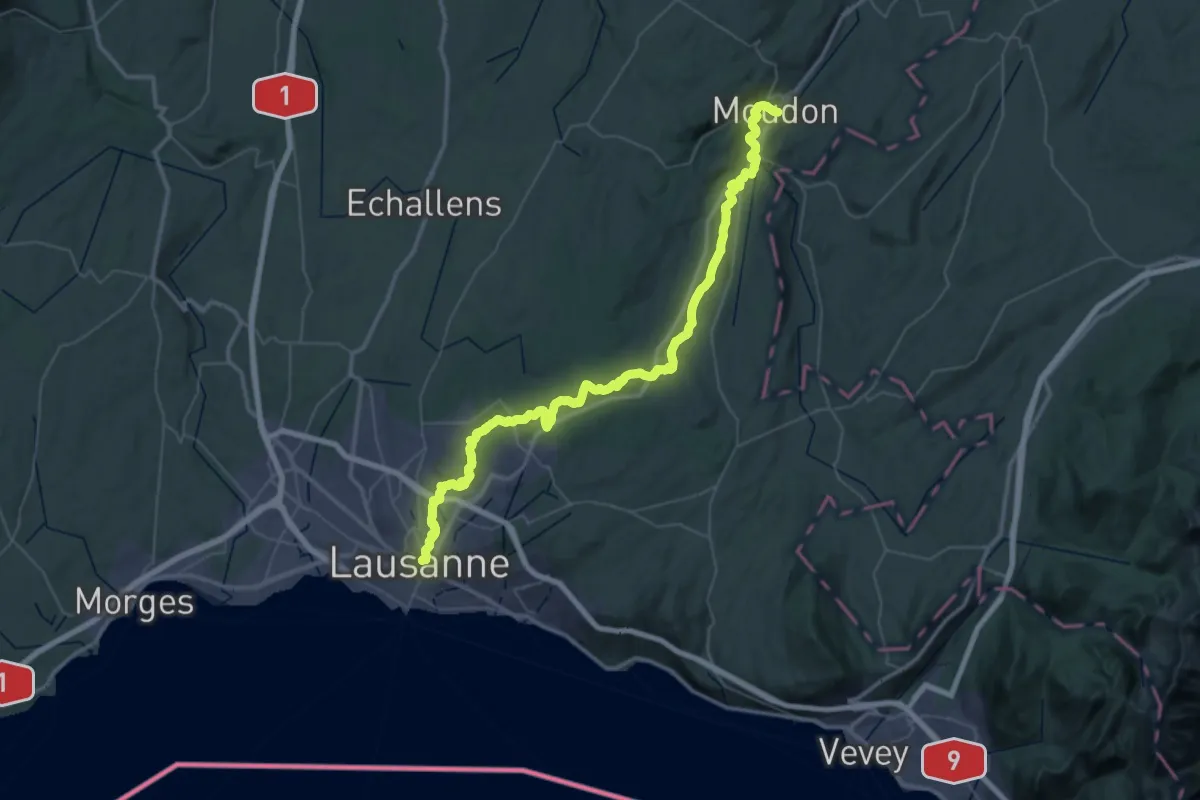
Demanding · Trail
ViaJacobi
29.6 km · ↑ 611 m · 8 h 44 min · 7 km away
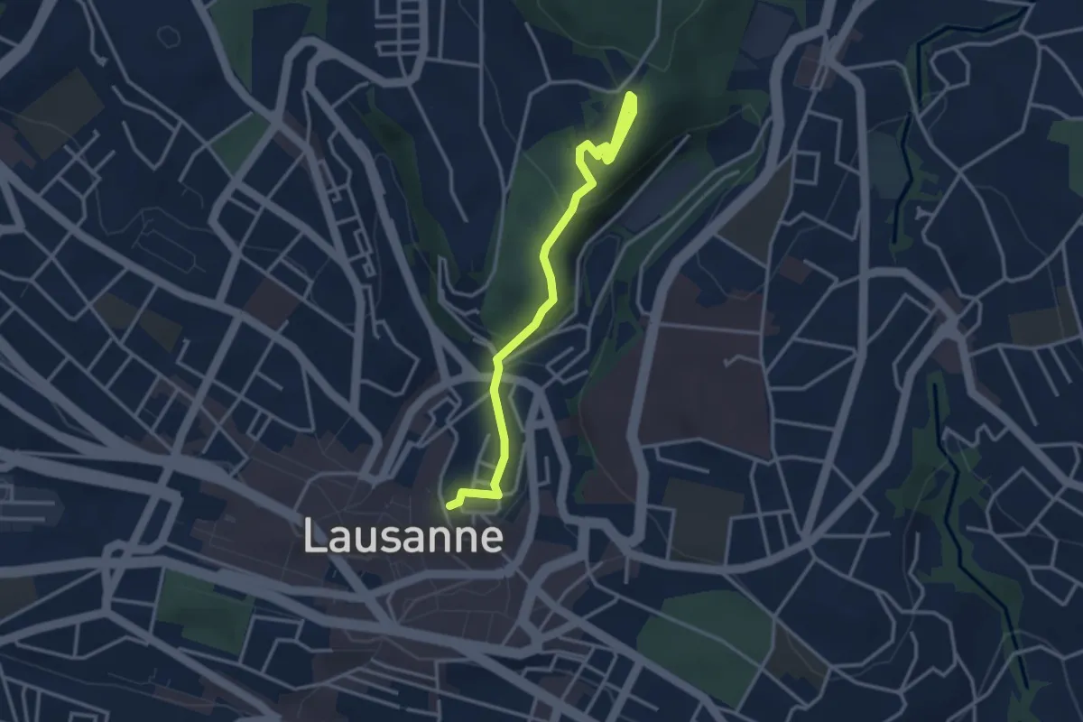
Easy · Pilgrim path
Lausanne, Cathédrale – Montpreveyres, "El Jire"
1.7 km · ↑ 119 m · 38 min · 7 km away
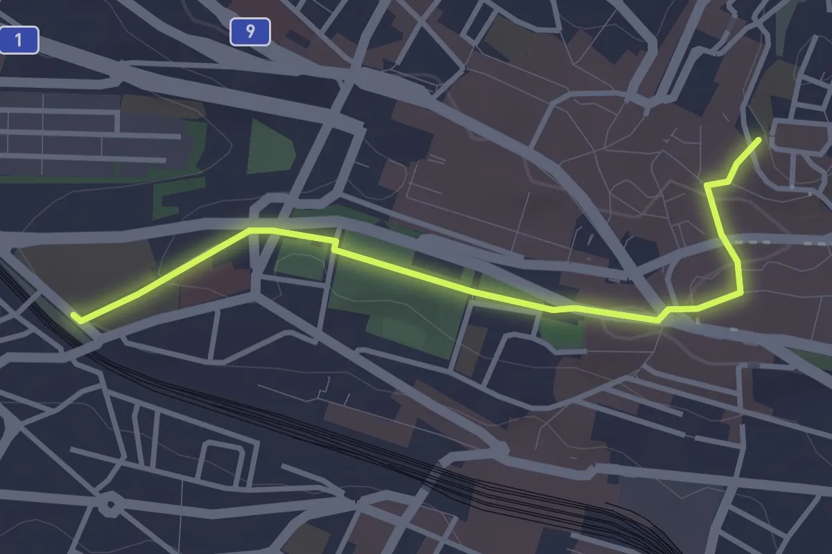
Easy · Pilgrim path
Sur les pas des Huguenots et des Vaudois du Piémont
1.6 km · ↑ 0 m · 26 min · 7 km away
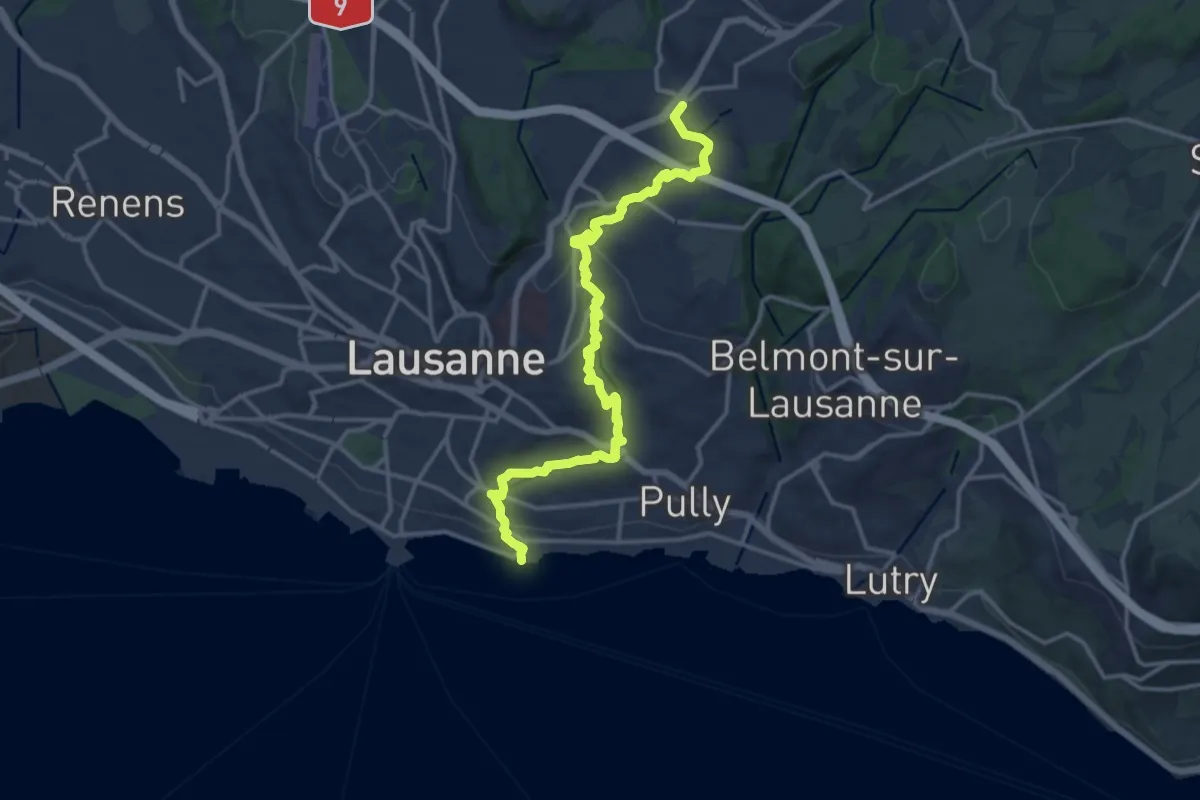
Medium · Trail
Sur les traces du renard
15.9 km · ↑ 380 m · 4 h 34 min · 8 km away
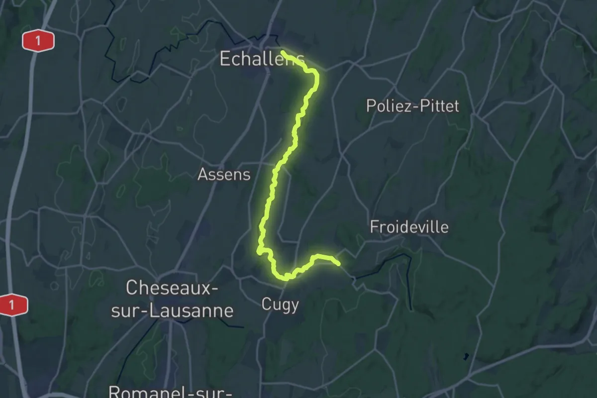
Demanding · Trail
Sentier du Talent
18.6 km · ↑ 228 m · 4 h 53 min · 9 km away
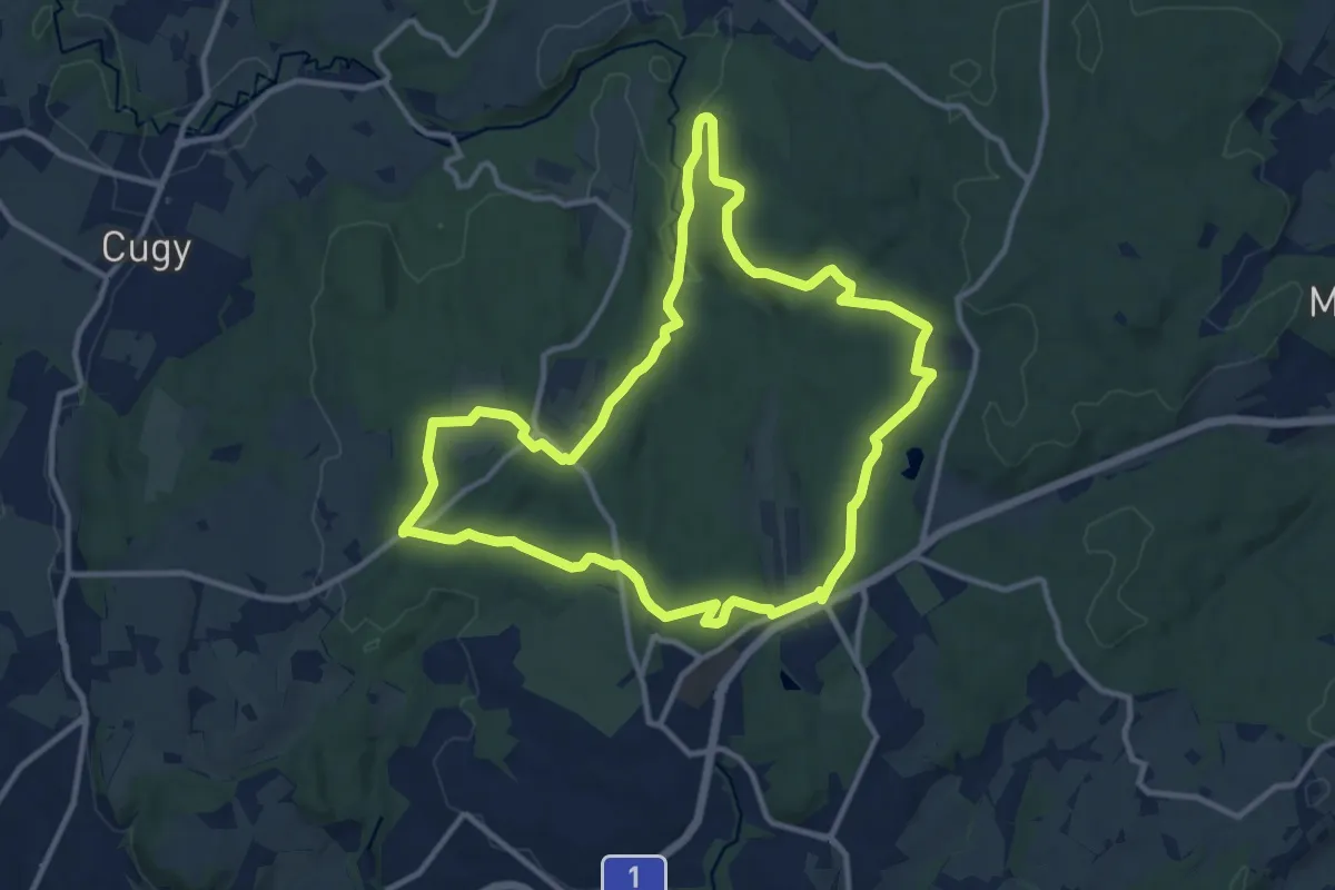
Medium · Trail
Le chemin des fontaines des Bois du Jorat
11.6 km · ↑ 162 m · 3 h 14 min · 10 km away
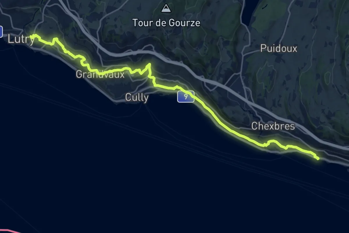
Demanding · Trail
Terasses de Lavaux
22.3 km · ↑ 788 m · 6 h 58 min · 12 km away
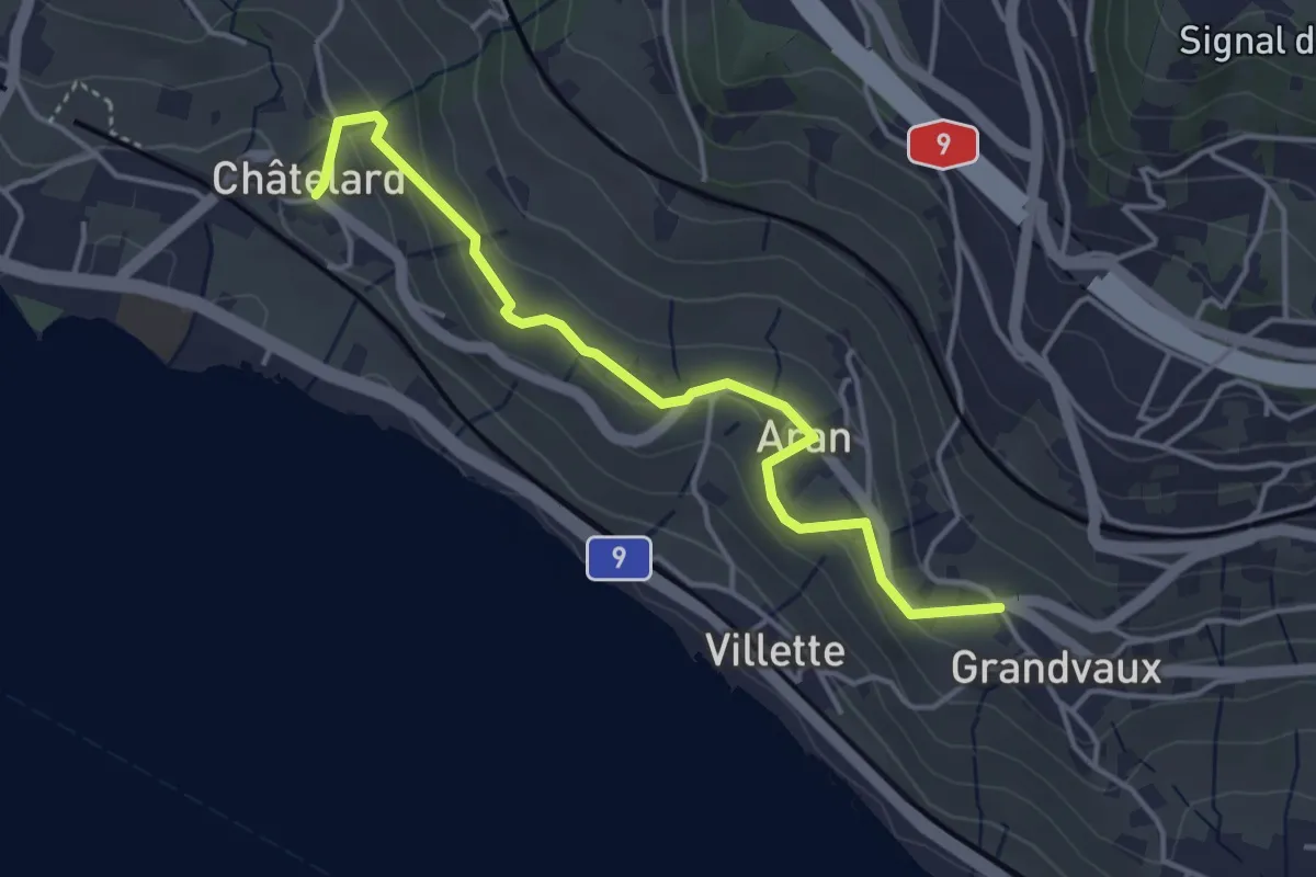
Easy · Trail
Grandvaux - Châtelard
4.1 km · ↑ 152 m · 1 h 18 min · 12 km away
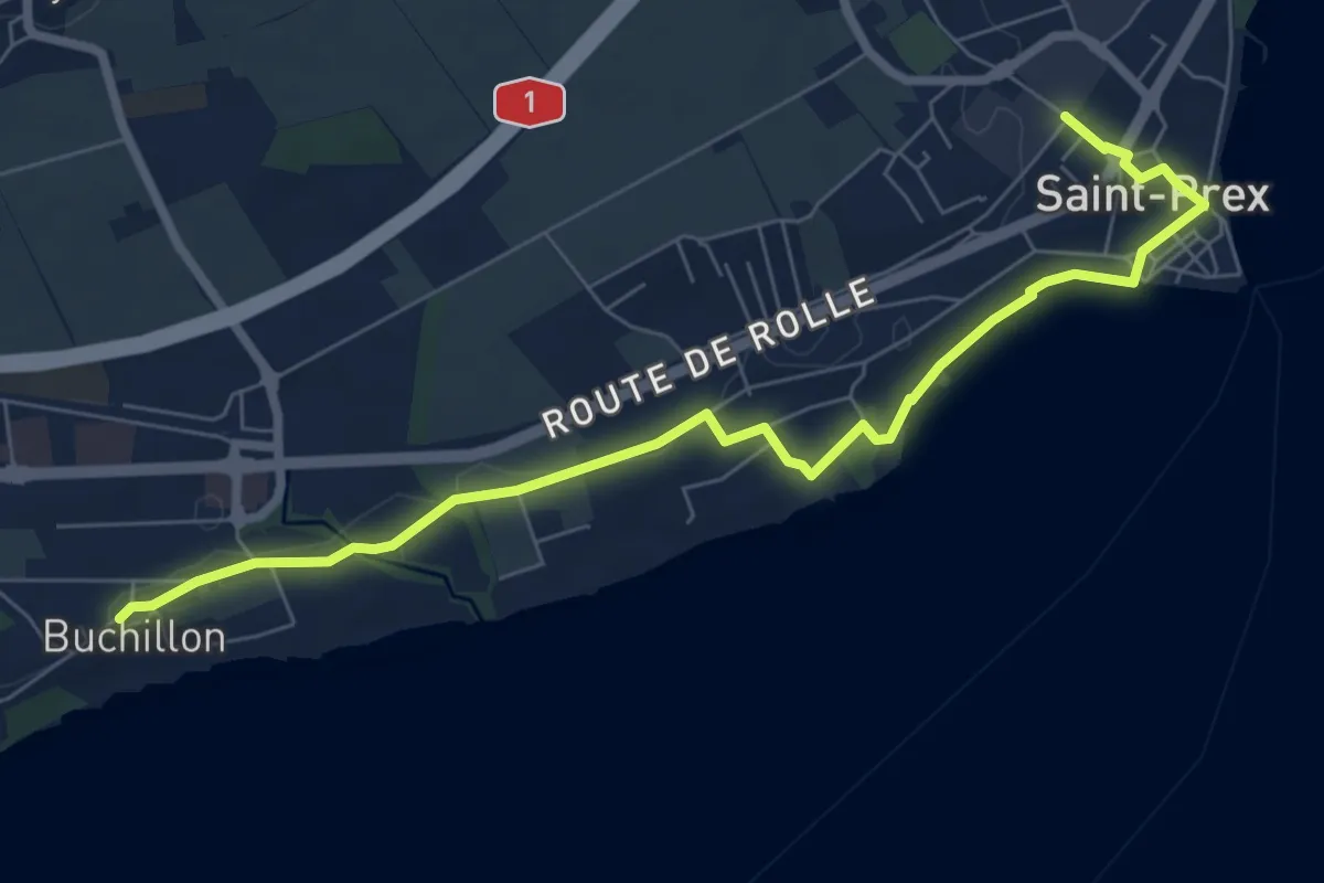
Medium · Trail
Buchillon – St Prex Gare
8.1 km · ↑ 53 m · 2 h 1 min · 13 km away
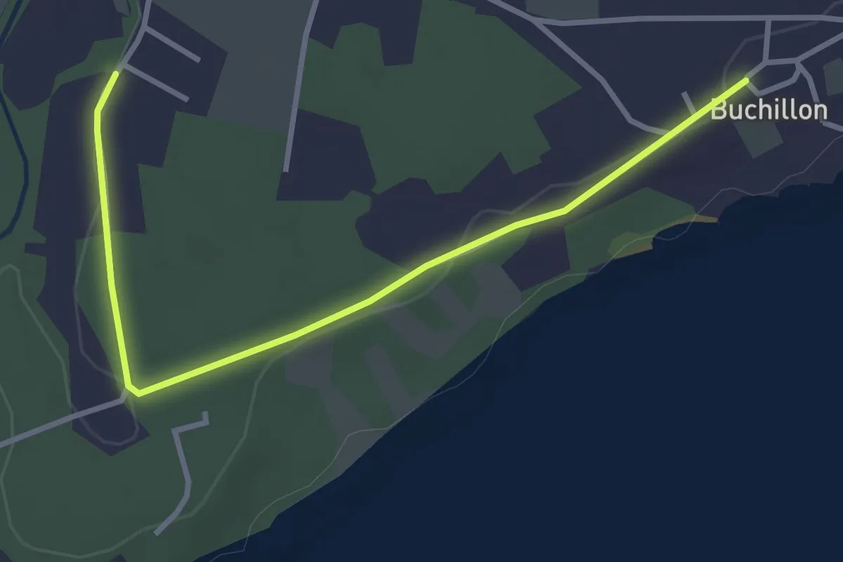
Easy · Trail
Grand Bois – Buchillon
3.4 km · ↑ 18 m · 51 min · 13 km away
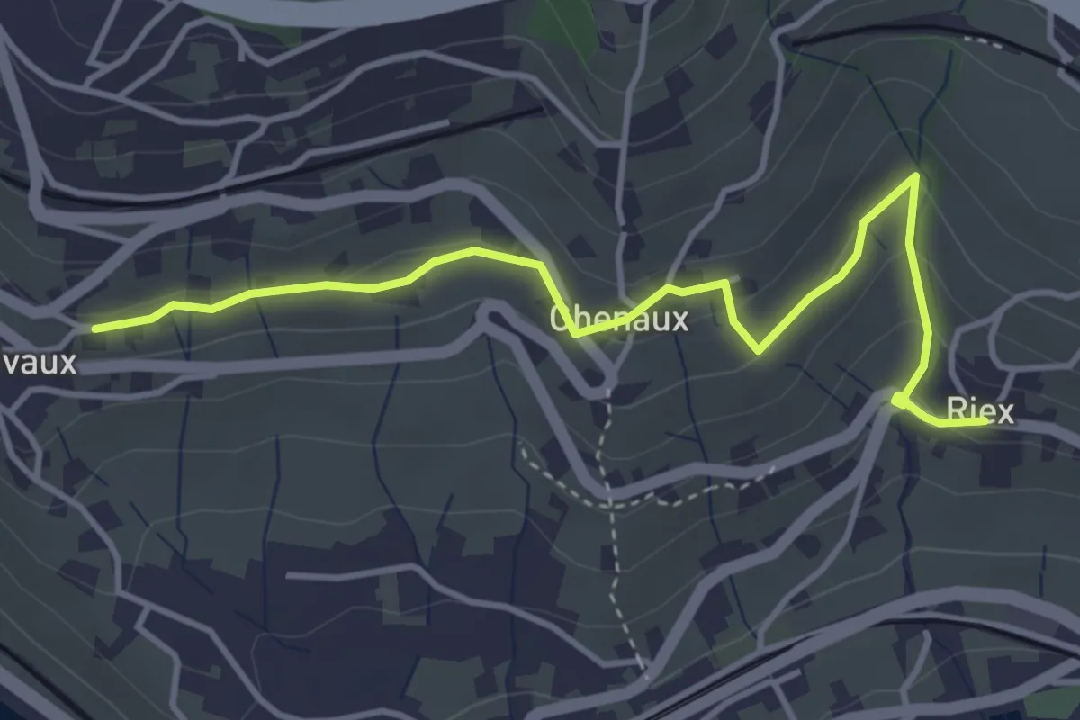
Easy · Trail
Riex - Grandvaux
4.2 km · ↑ 151 m · 1 h 19 min · 14 km away
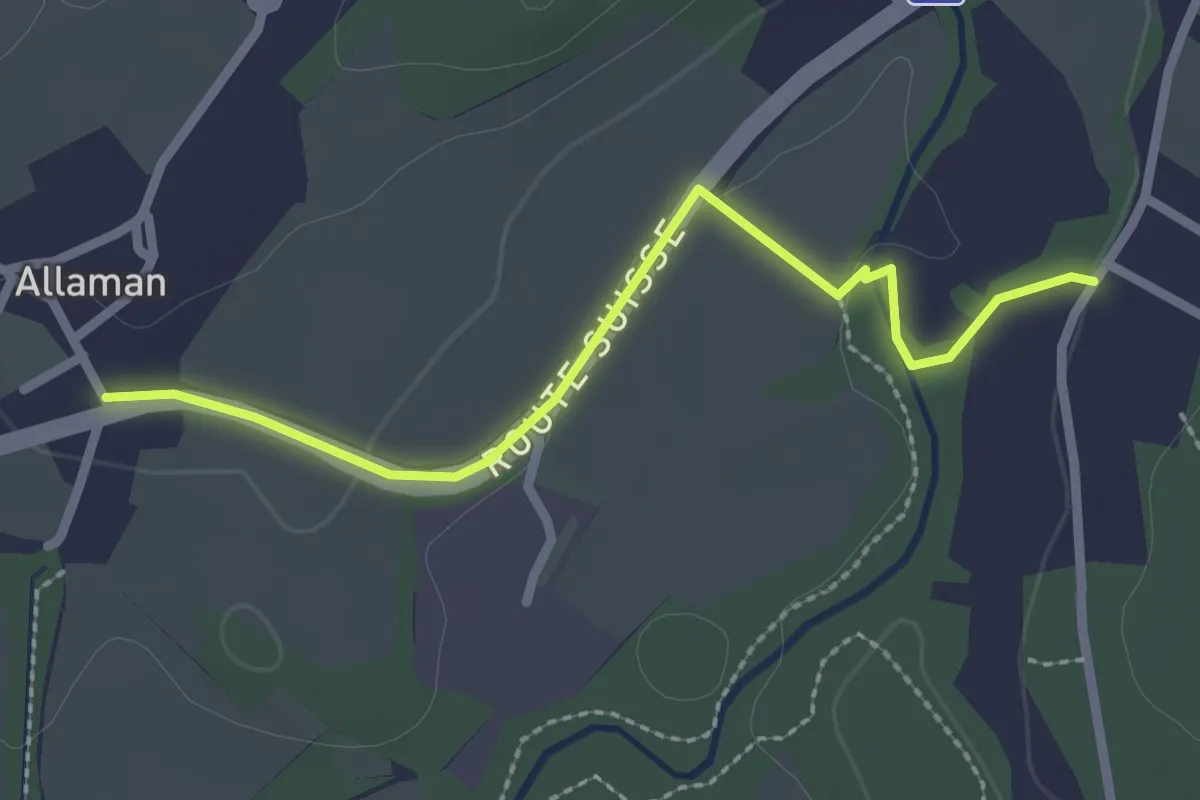
Easy · Trail
Allaman – Grand Bois
2.5 km · ↑ 22 m · 38 min · 14 km away
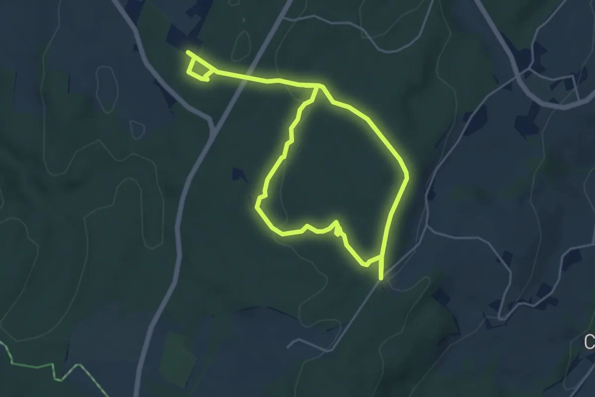
Easy · Trail
Parcours Handicap et Nature
7.4 km · ↑ 122 m · 2 h · 14 km away
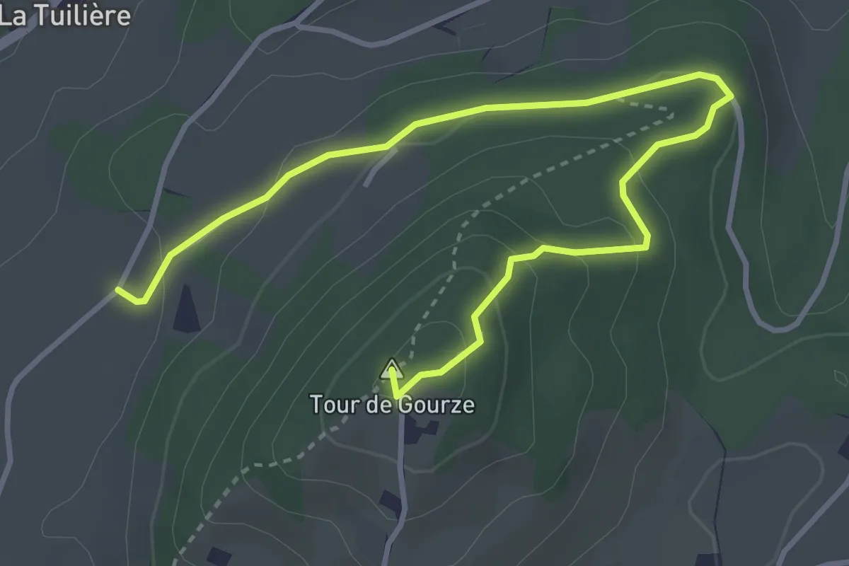
Easy · Summit
Tour de Gourze – Belmont-sur-Lausanne
4.3 km · ↑ 165 m · 1 h 23 min · 15 km away