Trails near Cham
608 hikes starting within 15 km, nearest first.
Nearest first, page 13 of 13
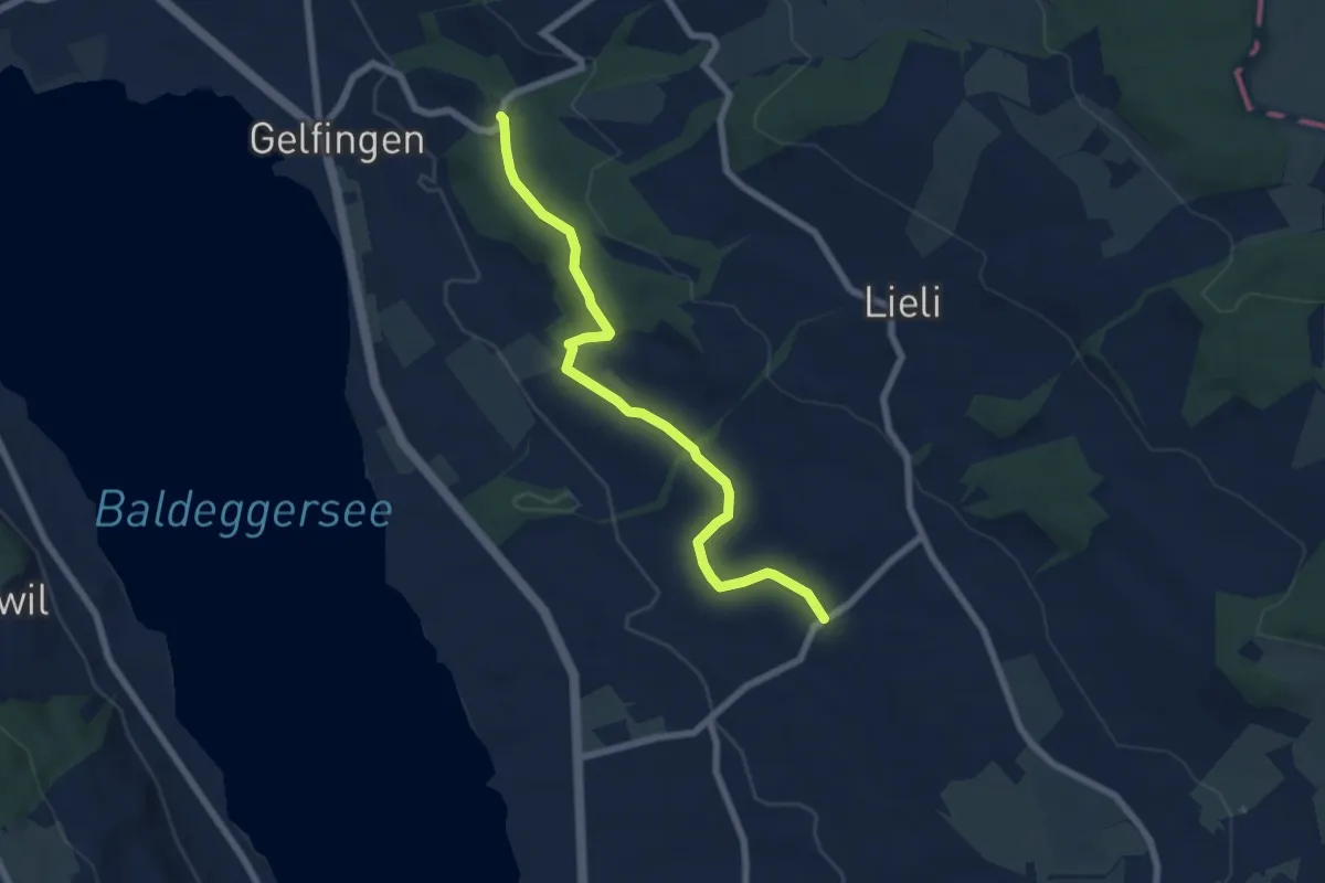
Easy · Trail
Schloss Heidegg – Kleinwangen
6.9 km · ↑ 162 m · 1 h 58 min · 14 km away
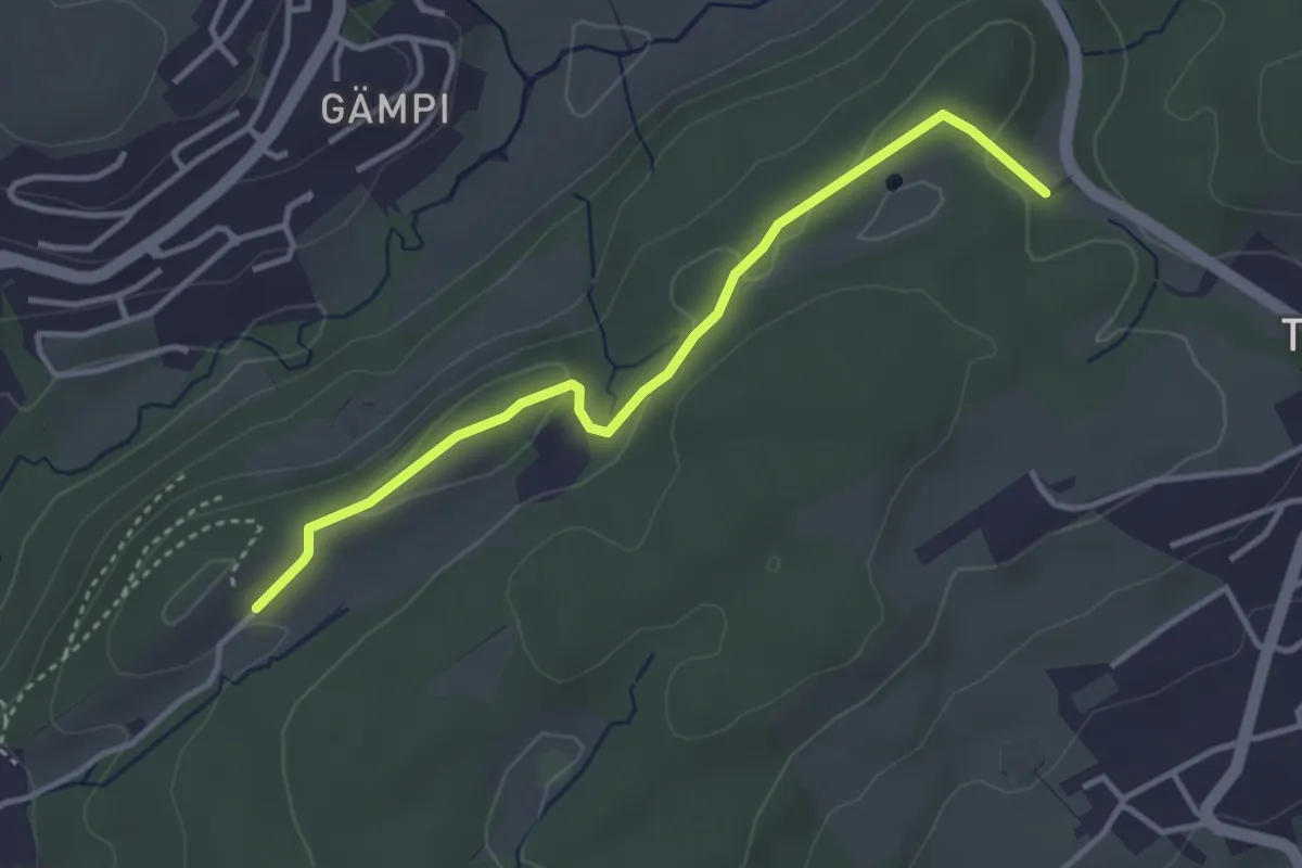
Easy · Trail
Längeried - Mülegg
3.5 km · ↑ 61 m · 58 min · 14 km away
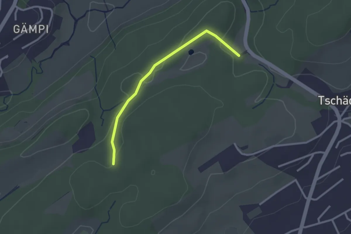
Easy · Trail
Längeried - Meggerwald
2.2 km · ↑ 37 m · 36 min · 14 km away
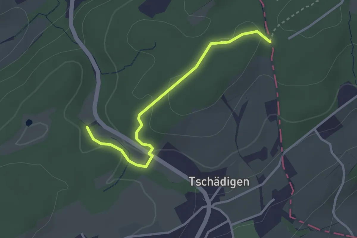
Easy · Trail
Gränzetürli - Längeried
2.7 km · ↑ 71 m · 47 min · 14 km away
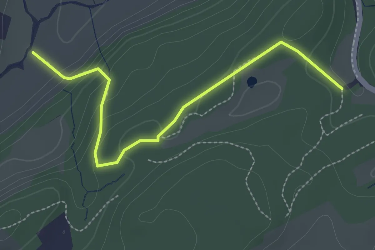
Easy · Trail
Längeried - Risiboden
2.7 km · ↑ 114 m · 53 min · 14 km away
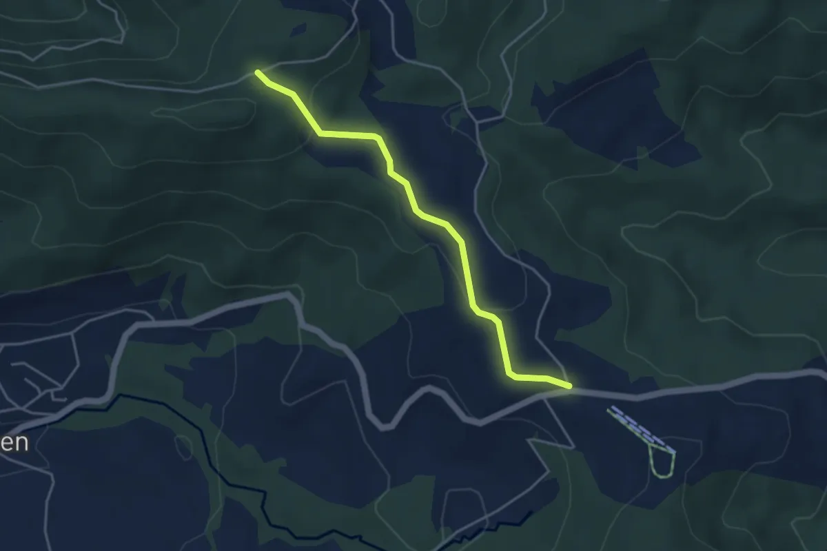
Easy · Trail
Charenboden – Raten
3.8 km · ↑ 100 m · 1 h 7 min · 14 km away
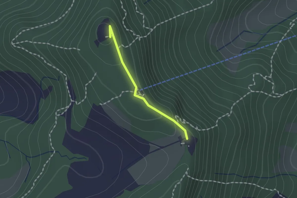
Easy · Summit
Felsenegg – Balderen
1.1 km · ↑ 31 m · 19 min · 15 km away
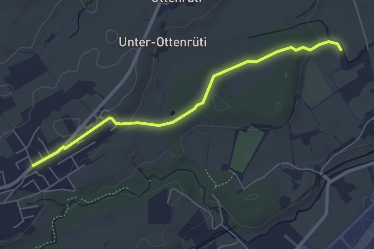
Easy · Trail
Moos - Rottertswil
4.7 km · ↑ 59 m · 1 h 14 min · 15 km away
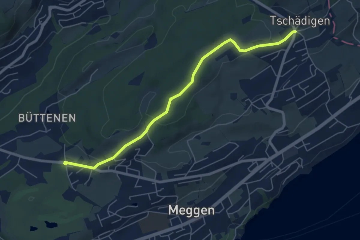
Easy · Trail
Buchmatt - Tschädigen
5.5 km · ↑ 125 m · 1 h 34 min · 15 km away
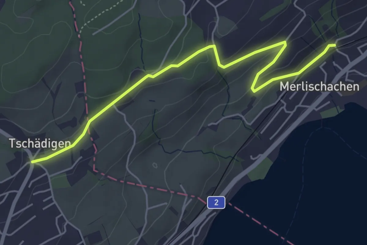
Easy · Trail
Tschädigen - Merlischachen
5.3 km · ↑ 158 m · 1 h 35 min · 15 km away
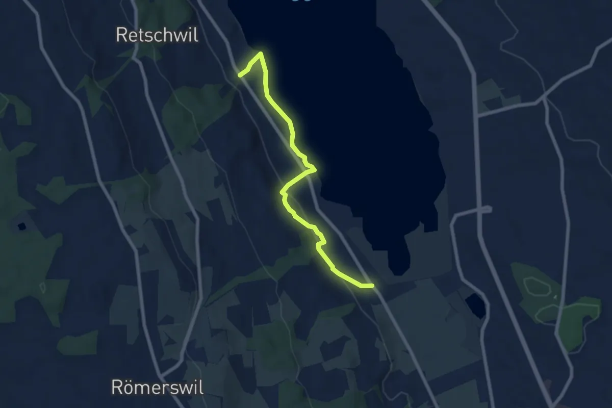
Easy · Trail
Nunwil - Retschwil
6.1 km · ↑ 164 m · 1 h 48 min · 15 km away
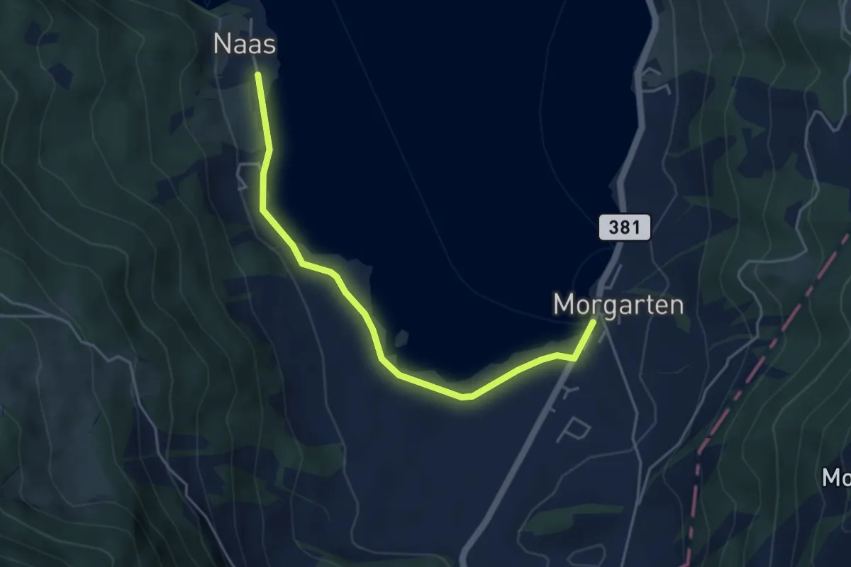
Easy · Trail
Nas – Morgarten Hauptsee
4.4 km · ↑ 19 m · 1 h 4 min · 15 km away
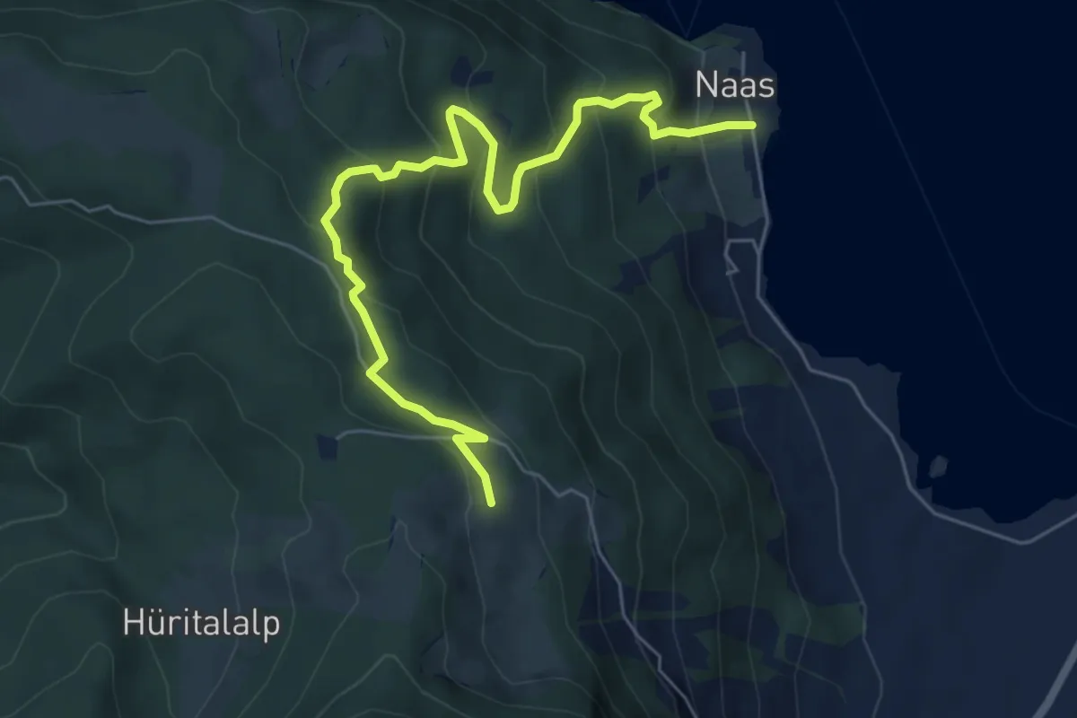
Medium · Trail
Ramenegg - Nas
6.7 km · ↑ 456 m · 2 h 34 min · 15 km away
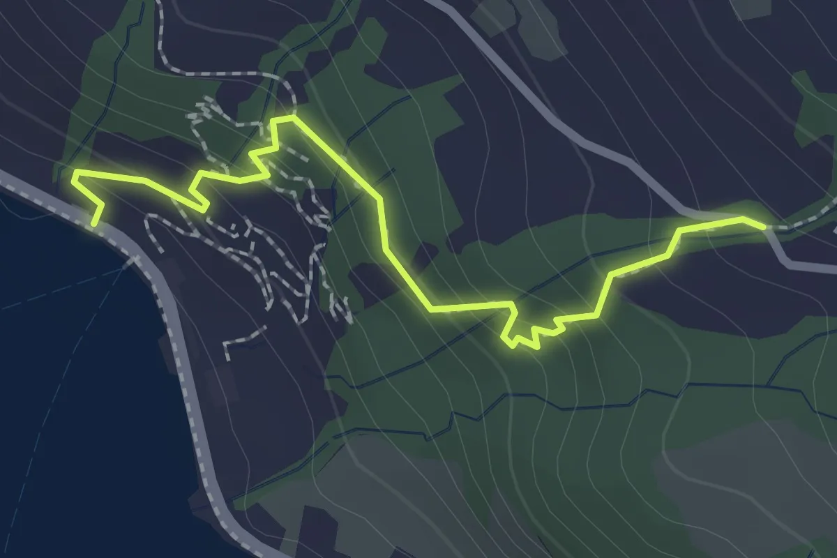
Easy · Trail
Zwüschenbäch - Ländli
2.2 km · ↑ 165 m · 53 min · 15 km away
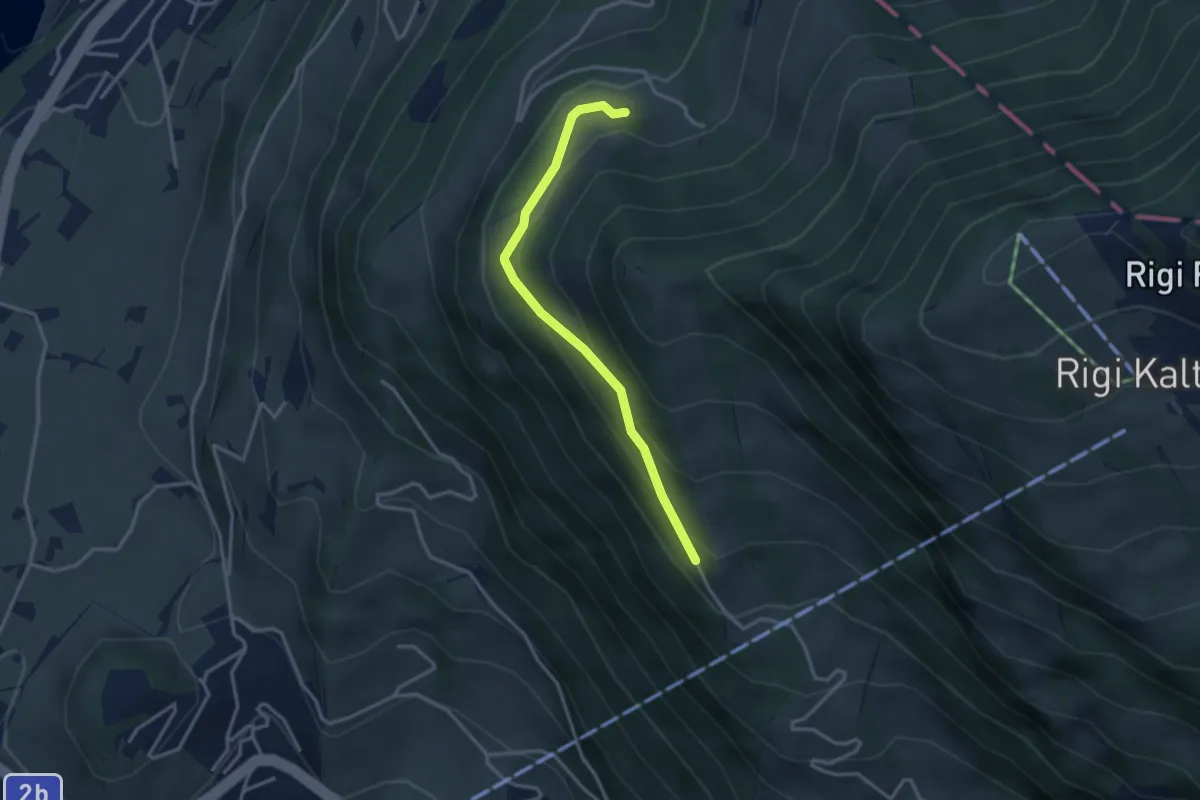
Easy · Trail
Bergli – Müseralp
3.1 km · ↑ 166 m · 1 h 5 min · 15 km away
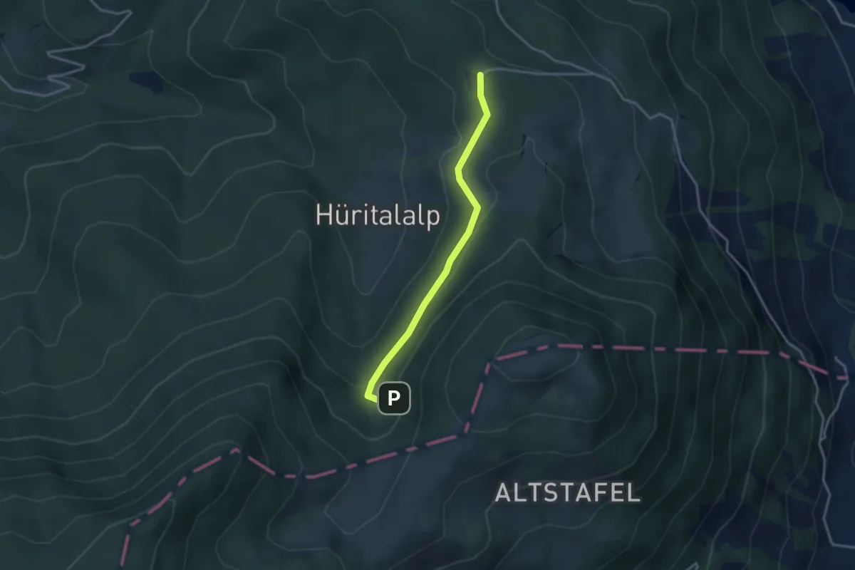
Easy · Trail
Cholerhütte - Geissfaren
2.9 km · ↑ 105 m · 55 min · 15 km away
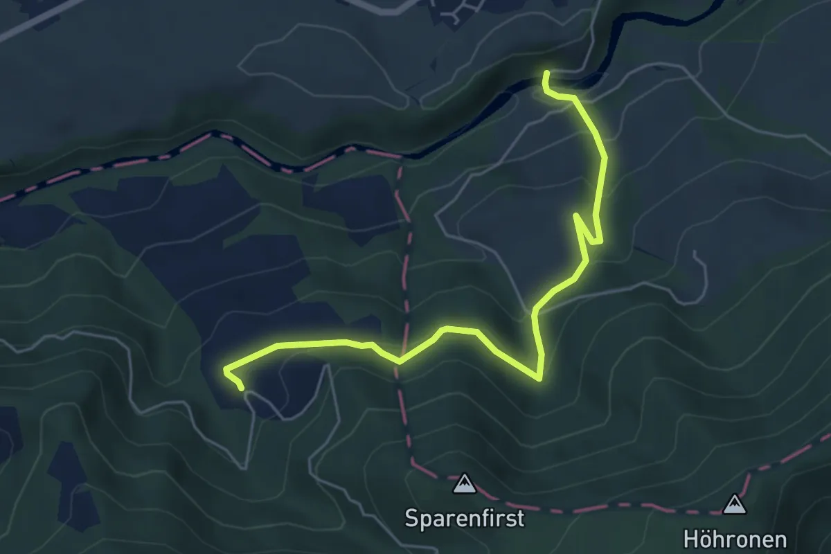
Medium · Trail
Hüttner Brugg - Sparenweid
5.4 km · ↑ 332 m · 2 h · 15 km away
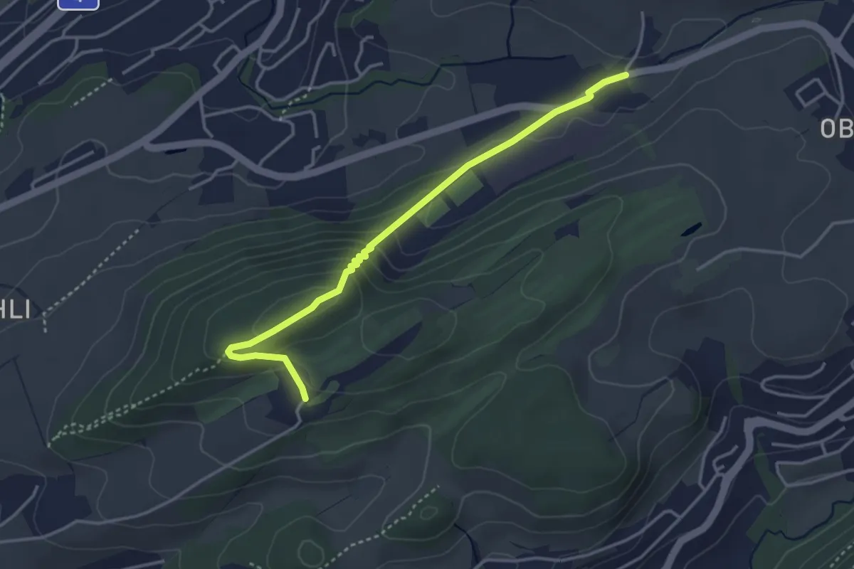
Easy · Trail
Dietschiberg - Stube
3.7 km · ↑ 184 m · 1 h 16 min · 15 km away
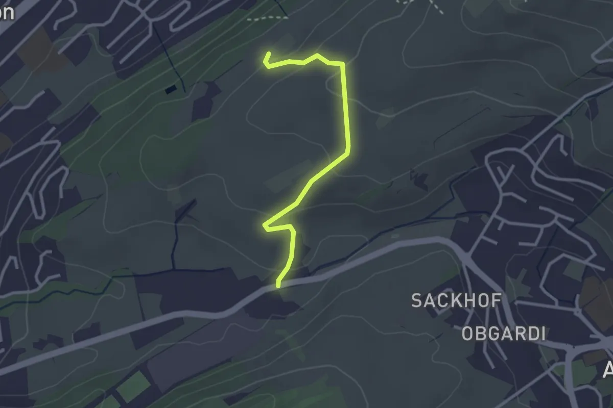
Easy · Trail
Stube - Under Äbrüti
2.5 km · ↑ 111 m · 51 min · 15 km away
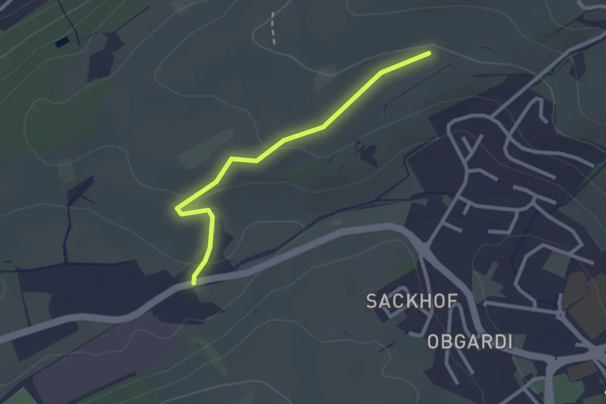
Easy · Trail
Stube - Lätten
2.3 km · ↑ 61 m · 40 min · 15 km away
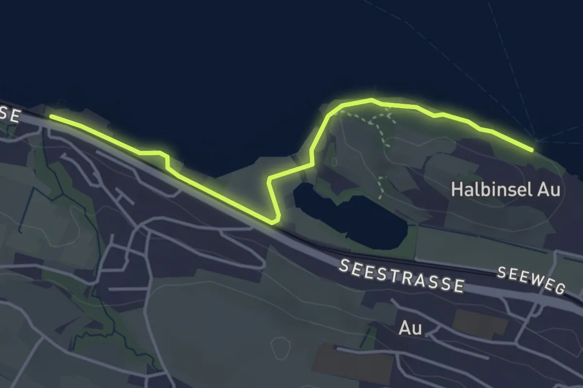
Easy · Trail
Meilibach – Halbinsel Au
4.0 km · ↑ 9 m · 58 min · 15 km away
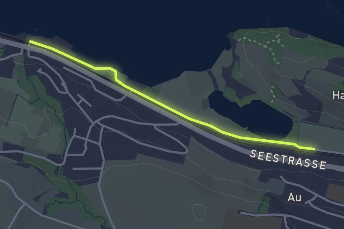
Easy · Trail
Meilibach – Au
2.8 km · ↑ 4 m · 40 min · 15 km away
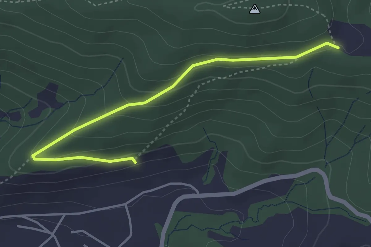
Easy · Trail
Gireggwald - Abschwändi
3.8 km · ↑ 159 m · 1 h 15 min · 15 km away
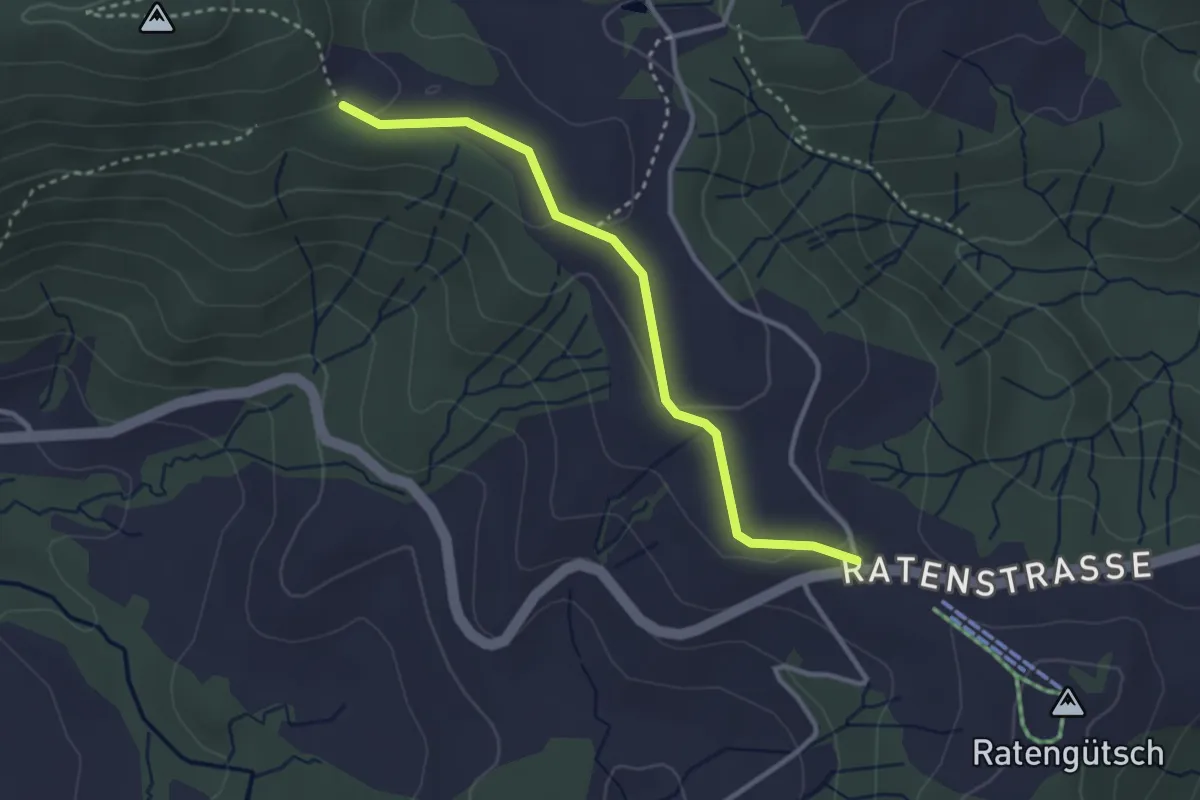
Easy · Trail
Raten – Abschwändi
3.0 km · ↑ 65 m · 52 min · 15 km away
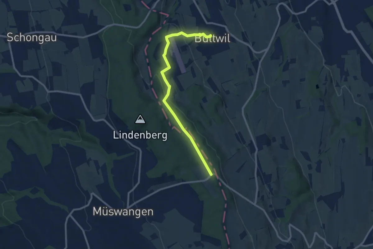
Easy · Trail
Buttwil - Schlatt
7.9 km · ↑ 216 m · 2 h 21 min · 15 km away
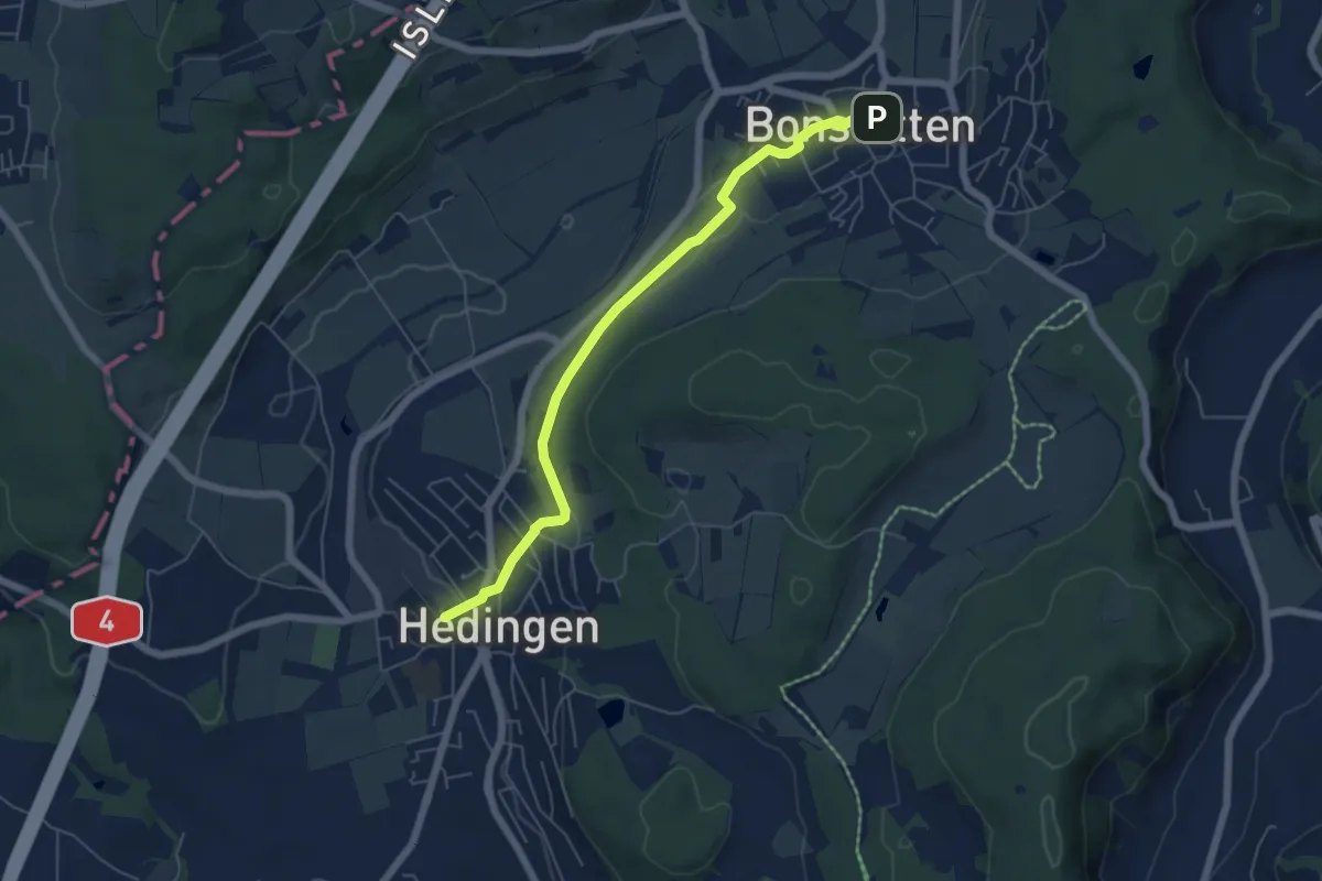
Easy · Trail
Hedingen Station – Bonstetten
5.8 km · ↑ 105 m · 1 h 36 min · 15 km away
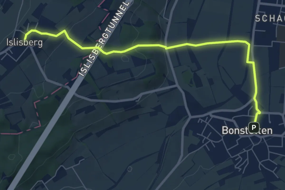
Easy · Trail
Bonstetten – Islisberg
6.4 km · ↑ 162 m · 1 h 51 min · 15 km away
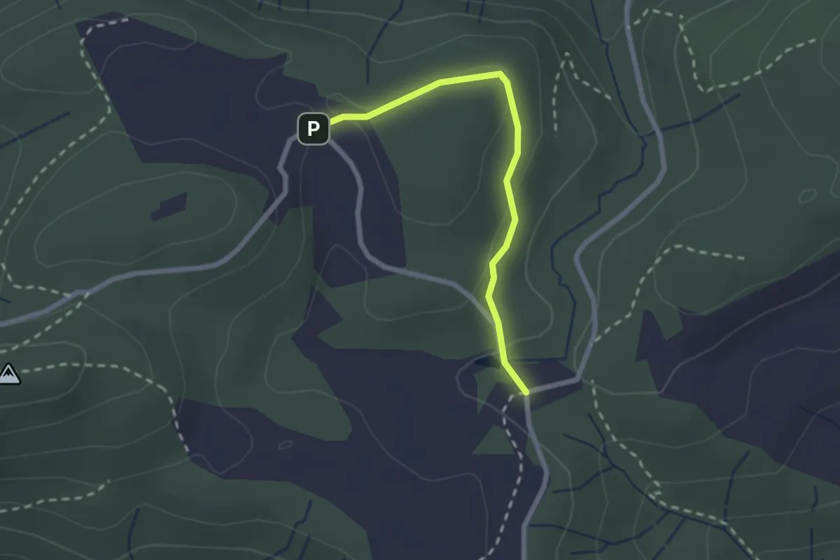
Easy · Trail
Chlausenchappeli – Gottschalkenberg
2.1 km · ↑ 47 m · 35 min · 15 km away
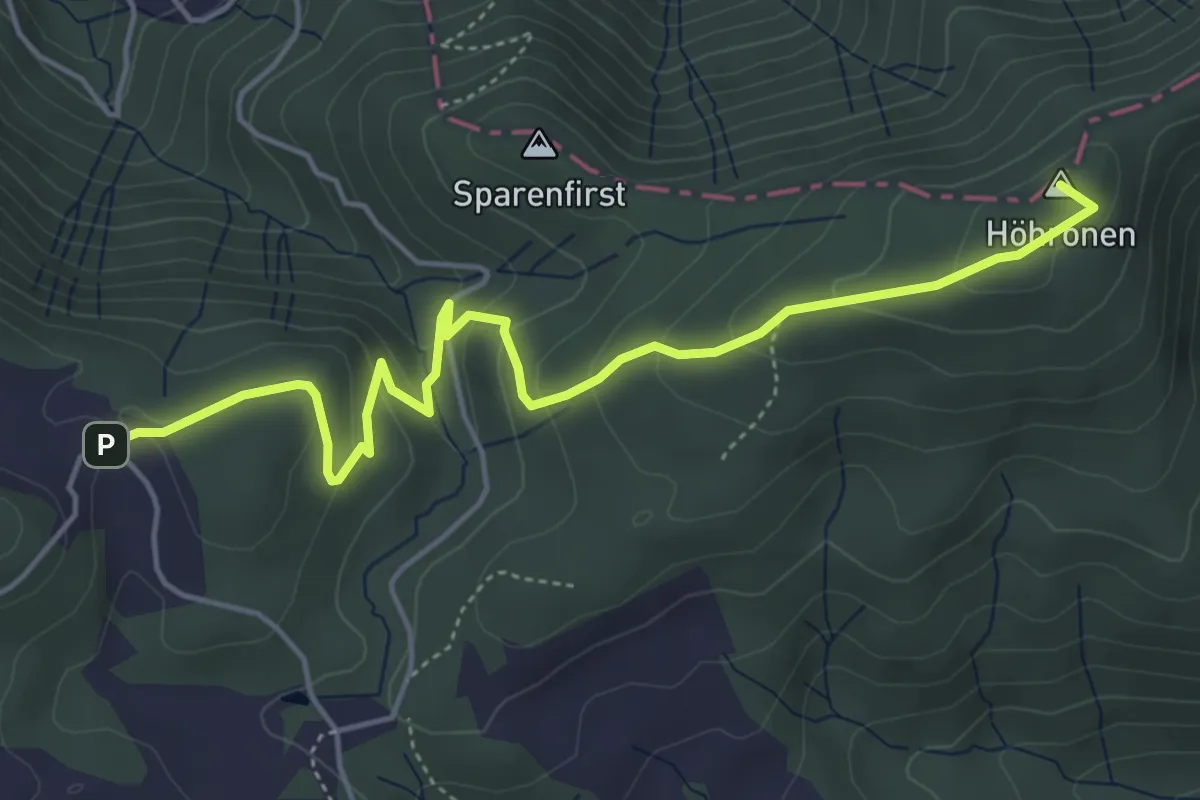
Easy · Summit
Höhboden – Gottschalkenberg
5.3 km · ↑ 249 m · 1 h 47 min · 15 km away
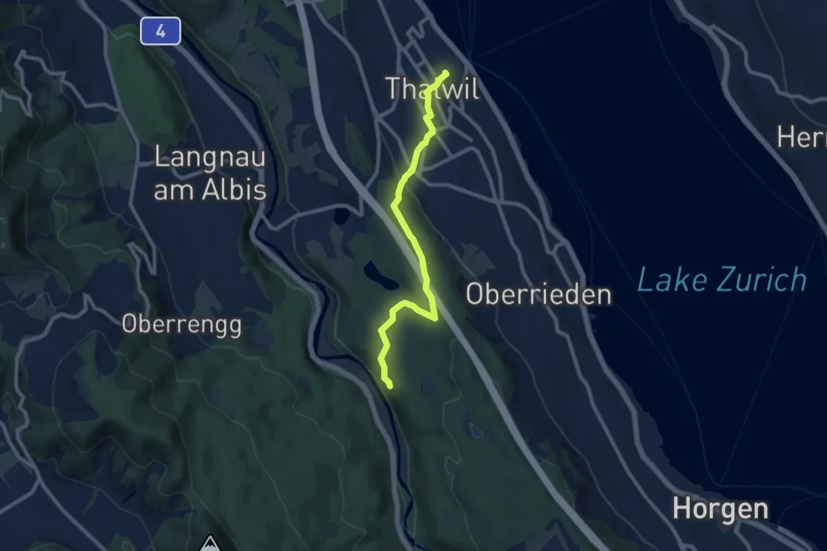
Easy · Trail
Thalwil (Bahnhof) – Schlegeltobel
7.5 km · ↑ 214 m · 2 h 15 min · 15 km away
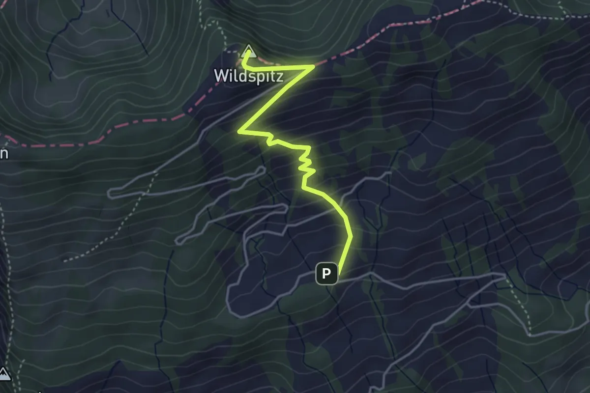
Medium · Summit
Obhegkapelle - Wildspitz
3.7 km · ↑ 323 m · 1 h 35 min · 15 km away
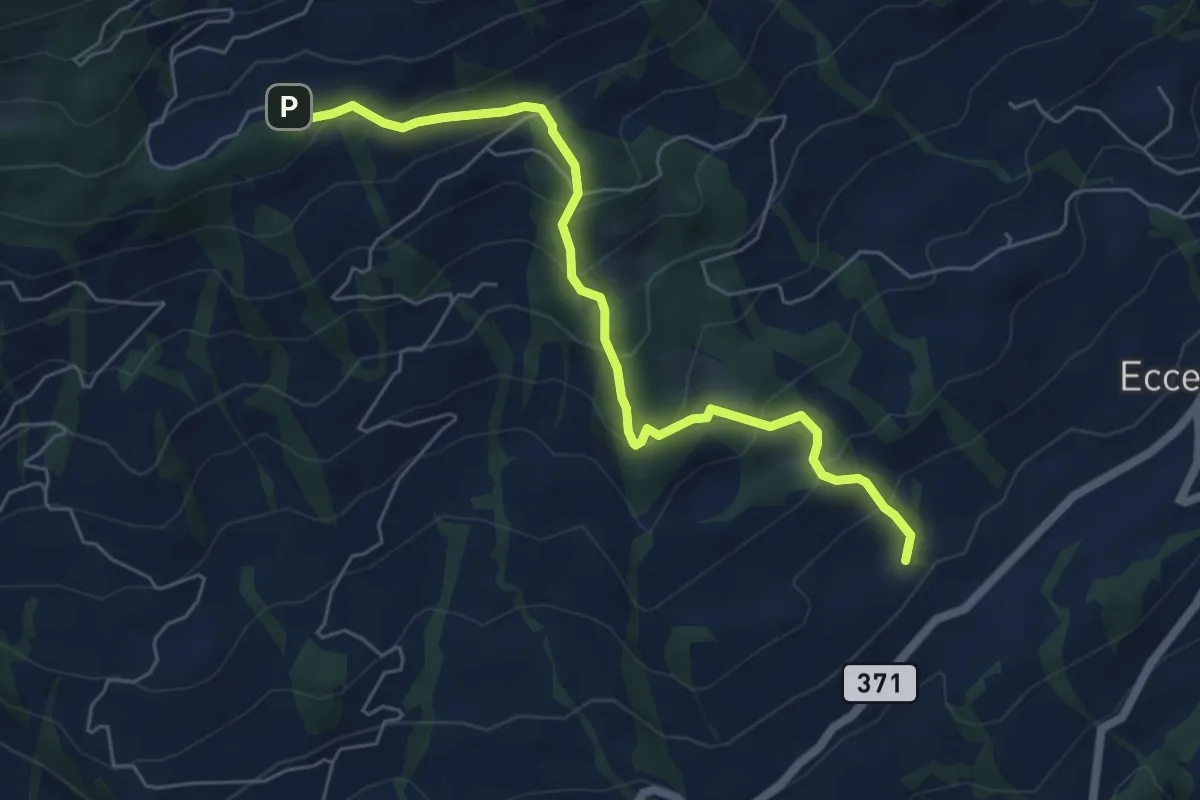
Medium · Trail
Obhegkapelle - Talacher? / Steinen? - fixme
6.0 km · ↑ 491 m · 2 h 29 min · 15 km away